アメリカ合衆国 〒 メイン州 チェリーフィールド日の出日の入り時間
Location: アメリカ合衆国 > メイン州 > ワシントン >
時間帯:
America/New_York
現地時間:
2025-07-09 16:08:10
経度:
-67.9258366
緯度:
44.6072991
今日の日の出時刻:
04:57:04 AM
今日の日の入時刻:
08:17:20 PM
今日の日長:
15h 20m 16s
明日の日の出時刻:
04:57:53 AM
明日の日の入時刻:
08:16:46 PM
明日の日長:
15h 18m 53s
すべて表示する
| 日付 | 日出 | 日没 | 日長 |
|---|---|---|---|
| 2025年01月01日 | 07:08:27 AM | 04:03:09 PM | 8h 54m 42s |
| 2025年01月02日 | 07:08:26 AM | 04:04:05 PM | 8h 55m 39s |
| 2025年01月03日 | 07:08:22 AM | 04:05:04 PM | 8h 56m 42s |
| 2025年01月04日 | 07:08:15 AM | 04:06:04 PM | 8h 57m 49s |
| 2025年01月05日 | 07:08:06 AM | 04:07:06 PM | 8h 59m 0s |
| 2025年01月06日 | 07:07:54 AM | 04:08:10 PM | 9h 0m 16s |
| 2025年01月07日 | 07:07:40 AM | 04:09:15 PM | 9h 1m 35s |
| 2025年01月08日 | 07:07:23 AM | 04:10:22 PM | 9h 2m 59s |
| 2025年01月09日 | 07:07:03 AM | 04:11:30 PM | 9h 4m 27s |
| 2025年01月10日 | 07:06:41 AM | 04:12:40 PM | 9h 5m 59s |
| 2025年01月11日 | 07:06:17 AM | 04:13:50 PM | 9h 7m 33s |
| 2025年01月12日 | 07:05:50 AM | 04:15:02 PM | 9h 9m 12s |
| 2025年01月13日 | 07:05:20 AM | 04:16:15 PM | 9h 10m 55s |
| 2025年01月14日 | 07:04:49 AM | 04:17:30 PM | 9h 12m 41s |
| 2025年01月15日 | 07:04:14 AM | 04:18:45 PM | 9h 14m 31s |
| 2025年01月16日 | 07:03:38 AM | 04:20:01 PM | 9h 16m 23s |
| 2025年01月17日 | 07:02:59 AM | 04:21:19 PM | 9h 18m 20s |
| 2025年01月18日 | 07:02:18 AM | 04:22:37 PM | 9h 20m 19s |
| 2025年01月19日 | 07:01:34 AM | 04:23:56 PM | 9h 22m 22s |
| 2025年01月20日 | 07:00:48 AM | 04:25:15 PM | 9h 24m 27s |
| 2025年01月21日 | 07:00:00 AM | 04:26:36 PM | 9h 26m 36s |
| 2025年01月22日 | 06:59:10 AM | 04:27:57 PM | 9h 28m 47s |
| 2025年01月23日 | 06:58:18 AM | 04:29:18 PM | 9h 31m 0s |
| 2025年01月24日 | 06:57:23 AM | 04:30:40 PM | 9h 33m 17s |
| 2025年01月25日 | 06:56:27 AM | 04:32:03 PM | 9h 35m 36s |
| 2025年01月26日 | 06:55:28 AM | 04:33:26 PM | 9h 37m 58s |
| 2025年01月27日 | 06:54:28 AM | 04:34:49 PM | 9h 40m 21s |
| 2025年01月28日 | 06:53:25 AM | 04:36:13 PM | 9h 42m 48s |
| 2025年01月29日 | 06:52:21 AM | 04:37:37 PM | 9h 45m 16s |
| 2025年01月30日 | 06:51:15 AM | 04:39:01 PM | 9h 47m 46s |
| 2025年01月31日 | 06:50:07 AM | 04:40:26 PM | 9h 50m 19s |
| 2025年02月01日 | 06:48:57 AM | 04:41:50 PM | 9h 52m 53s |
| 2025年02月02日 | 06:47:45 AM | 04:43:15 PM | 9h 55m 30s |
| 2025年02月03日 | 06:46:32 AM | 04:44:40 PM | 9h 58m 8s |
| 2025年02月04日 | 06:45:17 AM | 04:46:05 PM | 10h 0m 48s |
| 2025年02月05日 | 06:44:00 AM | 04:47:30 PM | 10h 3m 30s |
| 2025年02月06日 | 06:42:42 AM | 04:48:54 PM | 10h 6m 12s |
| 2025年02月07日 | 06:41:22 AM | 04:50:19 PM | 10h 8m 57s |
| 2025年02月08日 | 06:40:01 AM | 04:51:44 PM | 10h 11m 43s |
| 2025年02月09日 | 06:38:38 AM | 04:53:09 PM | 10h 14m 31s |
| 2025年02月10日 | 06:37:14 AM | 04:54:33 PM | 10h 17m 19s |
| 2025年02月11日 | 06:35:48 AM | 04:55:58 PM | 10h 20m 10s |
| 2025年02月12日 | 06:34:21 AM | 04:57:22 PM | 10h 23m 1s |
| 2025年02月13日 | 06:32:53 AM | 04:58:46 PM | 10h 25m 53s |
| 2025年02月14日 | 06:31:23 AM | 05:00:10 PM | 10h 28m 47s |
| 2025年02月15日 | 06:29:53 AM | 05:01:34 PM | 10h 31m 41s |
| 2025年02月16日 | 06:28:21 AM | 05:02:57 PM | 10h 34m 36s |
| 2025年02月17日 | 06:26:47 AM | 05:04:21 PM | 10h 37m 34s |
| 2025年02月18日 | 06:25:13 AM | 05:05:44 PM | 10h 40m 31s |
| 2025年02月19日 | 06:23:38 AM | 05:07:06 PM | 10h 43m 28s |
| 2025年02月20日 | 06:22:02 AM | 05:08:29 PM | 10h 46m 27s |
| 2025年02月21日 | 06:20:24 AM | 05:09:51 PM | 10h 49m 27s |
| 2025年02月22日 | 06:18:46 AM | 05:11:13 PM | 10h 52m 27s |
| 2025年02月23日 | 06:17:07 AM | 05:12:35 PM | 10h 55m 28s |
| 2025年02月24日 | 06:15:27 AM | 05:13:56 PM | 10h 58m 29s |
| 2025年02月25日 | 06:13:46 AM | 05:15:18 PM | 11h 1m 32s |
| 2025年02月26日 | 06:12:04 AM | 05:16:38 PM | 11h 4m 34s |
| 2025年02月27日 | 06:10:21 AM | 05:17:59 PM | 11h 7m 38s |
| 2025年02月28日 | 06:08:38 AM | 05:19:19 PM | 11h 10m 41s |
| 2025年03月01日 | 06:06:54 AM | 05:20:39 PM | 11h 13m 45s |
| 2025年03月02日 | 06:05:09 AM | 05:21:59 PM | 11h 16m 50s |
| 2025年03月03日 | 06:03:24 AM | 05:23:18 PM | 11h 19m 54s |
| 2025年03月04日 | 06:01:38 AM | 05:24:38 PM | 11h 23m 0s |
| 2025年03月05日 | 05:59:51 AM | 05:25:57 PM | 11h 26m 6s |
| 2025年03月06日 | 05:58:04 AM | 05:27:15 PM | 11h 29m 11s |
| 2025年03月07日 | 05:56:16 AM | 05:28:34 PM | 11h 32m 18s |
| 2025年03月08日 | 05:54:28 AM | 05:29:52 PM | 11h 35m 24s |
| 2025年03月09日 | 06:52:44 AM | 06:31:06 PM | 11h 38m 22s |
| 2025年03月10日 | 06:50:55 AM | 06:32:24 PM | 11h 41m 29s |
| 2025年03月11日 | 06:49:06 AM | 06:33:41 PM | 11h 44m 35s |
| 2025年03月12日 | 06:47:16 AM | 06:34:59 PM | 11h 47m 43s |
| 2025年03月13日 | 06:45:26 AM | 06:36:16 PM | 11h 50m 50s |
| 2025年03月14日 | 06:43:36 AM | 06:37:32 PM | 11h 53m 56s |
| 2025年03月15日 | 06:41:45 AM | 06:38:49 PM | 11h 57m 4s |
| 2025年03月16日 | 06:39:55 AM | 06:40:05 PM | 12h 0m 10s |
| 2025年03月17日 | 06:38:04 AM | 06:41:22 PM | 12h 3m 18s |
| 2025年03月18日 | 06:36:12 AM | 06:42:38 PM | 12h 6m 26s |
| 2025年03月19日 | 06:34:21 AM | 06:43:53 PM | 12h 9m 32s |
| 2025年03月20日 | 06:32:30 AM | 06:45:09 PM | 12h 12m 39s |
| 2025年03月21日 | 06:30:38 AM | 06:46:25 PM | 12h 15m 47s |
| 2025年03月22日 | 06:28:47 AM | 06:47:40 PM | 12h 18m 53s |
| 2025年03月23日 | 06:26:56 AM | 06:48:56 PM | 12h 22m 0s |
| 2025年03月24日 | 06:25:04 AM | 06:50:11 PM | 12h 25m 7s |
| 2025年03月25日 | 06:23:13 AM | 06:51:26 PM | 12h 28m 13s |
| 2025年03月26日 | 06:21:22 AM | 06:52:41 PM | 12h 31m 19s |
| 2025年03月27日 | 06:19:30 AM | 06:53:56 PM | 12h 34m 26s |
| 2025年03月28日 | 06:17:39 AM | 06:55:11 PM | 12h 37m 32s |
| 2025年03月29日 | 06:15:49 AM | 06:56:26 PM | 12h 40m 37s |
| 2025年03月30日 | 06:13:58 AM | 06:57:41 PM | 12h 43m 43s |
| 2025年03月31日 | 06:12:08 AM | 06:58:55 PM | 12h 46m 47s |
| 2025年04月01日 | 06:10:17 AM | 07:00:10 PM | 12h 49m 53s |
| 2025年04月02日 | 06:08:28 AM | 07:01:25 PM | 12h 52m 57s |
| 2025年04月03日 | 06:06:38 AM | 07:02:39 PM | 12h 56m 1s |
| 2025年04月04日 | 06:04:49 AM | 07:03:54 PM | 12h 59m 5s |
| 2025年04月05日 | 06:03:00 AM | 07:05:08 PM | 13h 2m 8s |
| 2025年04月06日 | 06:01:12 AM | 07:06:23 PM | 13h 5m 11s |
| 2025年04月07日 | 05:59:24 AM | 07:07:37 PM | 13h 8m 13s |
| 2025年04月08日 | 05:57:37 AM | 07:08:52 PM | 13h 11m 15s |
| 2025年04月09日 | 05:55:50 AM | 07:10:07 PM | 13h 14m 17s |
| 2025年04月10日 | 05:54:04 AM | 07:11:21 PM | 13h 17m 17s |
| 2025年04月11日 | 05:52:19 AM | 07:12:36 PM | 13h 20m 17s |
| 2025年04月12日 | 05:50:34 AM | 07:13:50 PM | 13h 23m 16s |
| 2025年04月13日 | 05:48:49 AM | 07:15:05 PM | 13h 26m 16s |
| 2025年04月14日 | 05:47:06 AM | 07:16:19 PM | 13h 29m 13s |
| 2025年04月15日 | 05:45:23 AM | 07:17:34 PM | 13h 32m 11s |
| 2025年04月16日 | 05:43:40 AM | 07:18:48 PM | 13h 35m 8s |
| 2025年04月17日 | 05:41:59 AM | 07:20:03 PM | 13h 38m 4s |
| 2025年04月18日 | 05:40:18 AM | 07:21:17 PM | 13h 40m 59s |
| 2025年04月19日 | 05:38:39 AM | 07:22:32 PM | 13h 43m 53s |
| 2025年04月20日 | 05:37:00 AM | 07:23:46 PM | 13h 46m 46s |
| 2025年04月21日 | 05:35:22 AM | 07:25:01 PM | 13h 49m 39s |
| 2025年04月22日 | 05:33:45 AM | 07:26:15 PM | 13h 52m 30s |
| 2025年04月23日 | 05:32:09 AM | 07:27:29 PM | 13h 55m 20s |
| 2025年04月24日 | 05:30:34 AM | 07:28:43 PM | 13h 58m 9s |
| 2025年04月25日 | 05:29:01 AM | 07:29:57 PM | 14h 0m 56s |
| 2025年04月26日 | 05:27:28 AM | 07:31:11 PM | 14h 3m 43s |
| 2025年04月27日 | 05:25:56 AM | 07:32:25 PM | 14h 6m 29s |
| 2025年04月28日 | 05:24:26 AM | 07:33:39 PM | 14h 9m 13s |
| 2025年04月29日 | 05:22:57 AM | 07:34:53 PM | 14h 11m 56s |
| 2025年04月30日 | 05:21:29 AM | 07:36:06 PM | 14h 14m 37s |
| 2025年05月01日 | 05:20:02 AM | 07:37:19 PM | 14h 17m 17s |
| 2025年05月02日 | 05:18:36 AM | 07:38:32 PM | 14h 19m 56s |
| 2025年05月03日 | 05:17:12 AM | 07:39:45 PM | 14h 22m 33s |
| 2025年05月04日 | 05:15:50 AM | 07:40:57 PM | 14h 25m 7s |
| 2025年05月05日 | 05:14:29 AM | 07:42:09 PM | 14h 27m 40s |
| 2025年05月06日 | 05:13:09 AM | 07:43:21 PM | 14h 30m 12s |
| 2025年05月07日 | 05:11:51 AM | 07:44:33 PM | 14h 32m 42s |
| 2025年05月08日 | 05:10:34 AM | 07:45:44 PM | 14h 35m 10s |
| 2025年05月09日 | 05:09:19 AM | 07:46:54 PM | 14h 37m 35s |
| 2025年05月10日 | 05:08:05 AM | 07:48:05 PM | 14h 40m 0s |
| 2025年05月11日 | 05:06:53 AM | 07:49:14 PM | 14h 42m 21s |
| 2025年05月12日 | 05:05:43 AM | 07:50:23 PM | 14h 44m 40s |
| 2025年05月13日 | 05:04:34 AM | 07:51:32 PM | 14h 46m 58s |
| 2025年05月14日 | 05:03:27 AM | 07:52:40 PM | 14h 49m 13s |
| 2025年05月15日 | 05:02:22 AM | 07:53:47 PM | 14h 51m 25s |
| 2025年05月16日 | 05:01:19 AM | 07:54:54 PM | 14h 53m 35s |
| 2025年05月17日 | 05:00:18 AM | 07:56:00 PM | 14h 55m 42s |
| 2025年05月18日 | 04:59:18 AM | 07:57:05 PM | 14h 57m 47s |
| 2025年05月19日 | 04:58:21 AM | 07:58:10 PM | 14h 59m 49s |
| 2025年05月20日 | 04:57:25 AM | 07:59:13 PM | 15h 1m 48s |
| 2025年05月21日 | 04:56:31 AM | 08:00:16 PM | 15h 3m 45s |
| 2025年05月22日 | 04:55:39 AM | 08:01:17 PM | 15h 5m 38s |
| 2025年05月23日 | 04:54:50 AM | 08:02:18 PM | 15h 7m 28s |
| 2025年05月24日 | 04:54:02 AM | 08:03:17 PM | 15h 9m 15s |
| 2025年05月25日 | 04:53:16 AM | 08:04:16 PM | 15h 11m 0s |
| 2025年05月26日 | 04:52:33 AM | 08:05:13 PM | 15h 12m 40s |
| 2025年05月27日 | 04:51:52 AM | 08:06:09 PM | 15h 14m 17s |
| 2025年05月28日 | 04:51:12 AM | 08:07:04 PM | 15h 15m 52s |
| 2025年05月29日 | 04:50:35 AM | 08:07:58 PM | 15h 17m 23s |
| 2025年05月30日 | 04:50:01 AM | 08:08:50 PM | 15h 18m 49s |
| 2025年05月31日 | 04:49:28 AM | 08:09:41 PM | 15h 20m 13s |
| 2025年06月01日 | 04:48:58 AM | 08:10:30 PM | 15h 21m 32s |
| 2025年06月02日 | 04:48:29 AM | 08:11:18 PM | 15h 22m 49s |
| 2025年06月03日 | 04:48:03 AM | 08:12:05 PM | 15h 24m 2s |
| 2025年06月04日 | 04:47:40 AM | 08:12:49 PM | 15h 25m 9s |
| 2025年06月05日 | 04:47:18 AM | 08:13:33 PM | 15h 26m 15s |
| 2025年06月06日 | 04:46:59 AM | 08:14:14 PM | 15h 27m 15s |
| 2025年06月07日 | 04:46:43 AM | 08:14:54 PM | 15h 28m 11s |
| 2025年06月08日 | 04:46:28 AM | 08:15:32 PM | 15h 29m 4s |
| 2025年06月09日 | 04:46:16 AM | 08:16:08 PM | 15h 29m 52s |
| 2025年06月10日 | 04:46:06 AM | 08:16:42 PM | 15h 30m 36s |
| 2025年06月11日 | 04:45:58 AM | 08:17:14 PM | 15h 31m 16s |
| 2025年06月12日 | 04:45:53 AM | 08:17:45 PM | 15h 31m 52s |
| 2025年06月13日 | 04:45:50 AM | 08:18:13 PM | 15h 32m 23s |
| 2025年06月14日 | 04:45:49 AM | 08:18:40 PM | 15h 32m 51s |
| 2025年06月15日 | 04:45:51 AM | 08:19:04 PM | 15h 33m 13s |
| 2025年06月16日 | 04:45:54 AM | 08:19:26 PM | 15h 33m 32s |
| 2025年06月17日 | 04:46:00 AM | 08:19:46 PM | 15h 33m 46s |
| 2025年06月18日 | 04:46:08 AM | 08:20:04 PM | 15h 33m 56s |
| 2025年06月19日 | 04:46:19 AM | 08:20:20 PM | 15h 34m 1s |
| 2025年06月20日 | 04:46:31 AM | 08:20:34 PM | 15h 34m 3s |
| 2025年06月21日 | 04:46:46 AM | 08:20:45 PM | 15h 33m 59s |
| 2025年06月22日 | 04:47:03 AM | 08:20:54 PM | 15h 33m 51s |
| 2025年06月23日 | 04:47:22 AM | 08:21:01 PM | 15h 33m 39s |
| 2025年06月24日 | 04:47:43 AM | 08:21:06 PM | 15h 33m 23s |
| 2025年06月25日 | 04:48:06 AM | 08:21:08 PM | 15h 33m 2s |
| 2025年06月26日 | 04:48:31 AM | 08:21:08 PM | 15h 32m 37s |
| 2025年06月27日 | 04:48:58 AM | 08:21:06 PM | 15h 32m 8s |
| 2025年06月28日 | 04:49:27 AM | 08:21:01 PM | 15h 31m 34s |
| 2025年06月29日 | 04:49:57 AM | 08:20:54 PM | 15h 30m 57s |
| 2025年06月30日 | 04:50:30 AM | 08:20:45 PM | 15h 30m 15s |
| 2025年07月01日 | 04:51:04 AM | 08:20:33 PM | 15h 29m 29s |
| 2025年07月02日 | 04:51:41 AM | 08:20:19 PM | 15h 28m 38s |
| 2025年07月03日 | 04:52:19 AM | 08:20:03 PM | 15h 27m 44s |
| 2025年07月04日 | 04:52:58 AM | 08:19:44 PM | 15h 26m 46s |
| 2025年07月05日 | 04:53:39 AM | 08:19:23 PM | 15h 25m 44s |
| 2025年07月06日 | 04:54:22 AM | 08:18:59 PM | 15h 24m 37s |
| 2025年07月07日 | 04:55:06 AM | 08:18:34 PM | 15h 23m 28s |
| 2025年07月08日 | 04:55:52 AM | 08:18:06 PM | 15h 22m 14s |
| 2025年07月09日 | 04:56:39 AM | 08:17:36 PM | 15h 20m 57s |
| 2025年07月10日 | 04:57:28 AM | 08:17:03 PM | 15h 19m 35s |
| 2025年07月11日 | 04:58:18 AM | 08:16:29 PM | 15h 18m 11s |
| 2025年07月12日 | 04:59:09 AM | 08:15:52 PM | 15h 16m 43s |
| 2025年07月13日 | 05:00:02 AM | 08:15:12 PM | 15h 15m 10s |
| 2025年07月14日 | 05:00:56 AM | 08:14:31 PM | 15h 13m 35s |
| 2025年07月15日 | 05:01:50 AM | 08:13:48 PM | 15h 11m 58s |
| 2025年07月16日 | 05:02:46 AM | 08:13:02 PM | 15h 10m 16s |
| 2025年07月17日 | 05:03:43 AM | 08:12:14 PM | 15h 8m 31s |
| 2025年07月18日 | 05:04:41 AM | 08:11:25 PM | 15h 6m 44s |
| 2025年07月19日 | 05:05:40 AM | 08:10:33 PM | 15h 4m 53s |
| 2025年07月20日 | 05:06:40 AM | 08:09:39 PM | 15h 2m 59s |
| 2025年07月21日 | 05:07:41 AM | 08:08:43 PM | 15h 1m 2s |
| 2025年07月22日 | 05:08:42 AM | 08:07:45 PM | 14h 59m 3s |
| 2025年07月23日 | 05:09:44 AM | 08:06:45 PM | 14h 57m 1s |
| 2025年07月24日 | 05:10:47 AM | 08:05:44 PM | 14h 54m 57s |
| 2025年07月25日 | 05:11:51 AM | 08:04:40 PM | 14h 52m 49s |
| 2025年07月26日 | 05:12:55 AM | 08:03:35 PM | 14h 50m 40s |
| 2025年07月27日 | 05:14:00 AM | 08:02:27 PM | 14h 48m 27s |
| 2025年07月28日 | 05:15:05 AM | 08:01:18 PM | 14h 46m 13s |
| 2025年07月29日 | 05:16:11 AM | 08:00:08 PM | 14h 43m 57s |
| 2025年07月30日 | 05:17:18 AM | 07:58:55 PM | 14h 41m 37s |
| 2025年07月31日 | 05:18:25 AM | 07:57:41 PM | 14h 39m 16s |
| 2025年08月01日 | 05:19:32 AM | 07:56:26 PM | 14h 36m 54s |
| 2025年08月02日 | 05:20:40 AM | 07:55:08 PM | 14h 34m 28s |
| 2025年08月03日 | 05:21:48 AM | 07:53:50 PM | 14h 32m 2s |
| 2025年08月04日 | 05:22:56 AM | 07:52:29 PM | 14h 29m 33s |
| 2025年08月05日 | 05:24:04 AM | 07:51:07 PM | 14h 27m 3s |
| 2025年08月06日 | 05:25:13 AM | 07:49:44 PM | 14h 24m 31s |
| 2025年08月07日 | 05:26:22 AM | 07:48:20 PM | 14h 21m 58s |
| 2025年08月08日 | 05:27:32 AM | 07:46:54 PM | 14h 19m 22s |
| 2025年08月09日 | 05:28:41 AM | 07:45:26 PM | 14h 16m 45s |
| 2025年08月10日 | 05:29:51 AM | 07:43:57 PM | 14h 14m 6s |
| 2025年08月11日 | 05:31:01 AM | 07:42:27 PM | 14h 11m 26s |
| 2025年08月12日 | 05:32:10 AM | 07:40:56 PM | 14h 8m 46s |
| 2025年08月13日 | 05:33:20 AM | 07:39:24 PM | 14h 6m 4s |
| 2025年08月14日 | 05:34:31 AM | 07:37:50 PM | 14h 3m 19s |
| 2025年08月15日 | 05:35:41 AM | 07:36:16 PM | 14h 0m 35s |
| 2025年08月16日 | 05:36:51 AM | 07:34:40 PM | 13h 57m 49s |
| 2025年08月17日 | 05:38:01 AM | 07:33:03 PM | 13h 55m 2s |
| 2025年08月18日 | 05:39:11 AM | 07:31:25 PM | 13h 52m 14s |
| 2025年08月19日 | 05:40:22 AM | 07:29:46 PM | 13h 49m 24s |
| 2025年08月20日 | 05:41:32 AM | 07:28:07 PM | 13h 46m 35s |
| 2025年08月21日 | 05:42:42 AM | 07:26:26 PM | 13h 43m 44s |
| 2025年08月22日 | 05:43:53 AM | 07:24:44 PM | 13h 40m 51s |
| 2025年08月23日 | 05:45:03 AM | 07:23:02 PM | 13h 37m 59s |
| 2025年08月24日 | 05:46:13 AM | 07:21:19 PM | 13h 35m 6s |
| 2025年08月25日 | 05:47:23 AM | 07:19:35 PM | 13h 32m 12s |
| 2025年08月26日 | 05:48:34 AM | 07:17:50 PM | 13h 29m 16s |
| 2025年08月27日 | 05:49:44 AM | 07:16:04 PM | 13h 26m 20s |
| 2025年08月28日 | 05:50:54 AM | 07:14:18 PM | 13h 23m 24s |
| 2025年08月29日 | 05:52:04 AM | 07:12:31 PM | 13h 20m 27s |
| 2025年08月30日 | 05:53:14 AM | 07:10:44 PM | 13h 17m 30s |
| 2025年08月31日 | 05:54:24 AM | 07:08:56 PM | 13h 14m 32s |
| 2025年09月01日 | 05:55:34 AM | 07:07:07 PM | 13h 11m 33s |
| 2025年09月02日 | 05:56:44 AM | 07:05:18 PM | 13h 8m 34s |
| 2025年09月03日 | 05:57:54 AM | 07:03:29 PM | 13h 5m 35s |
| 2025年09月04日 | 05:59:04 AM | 07:01:39 PM | 13h 2m 35s |
| 2025年09月05日 | 06:00:14 AM | 06:59:48 PM | 12h 59m 34s |
| 2025年09月06日 | 06:01:24 AM | 06:57:57 PM | 12h 56m 33s |
| 2025年09月07日 | 06:02:34 AM | 06:56:06 PM | 12h 53m 32s |
| 2025年09月08日 | 06:03:44 AM | 06:54:14 PM | 12h 50m 30s |
| 2025年09月09日 | 06:04:54 AM | 06:52:22 PM | 12h 47m 28s |
| 2025年09月10日 | 06:06:04 AM | 06:50:30 PM | 12h 44m 26s |
| 2025年09月11日 | 06:07:14 AM | 06:48:38 PM | 12h 41m 24s |
| 2025年09月12日 | 06:08:24 AM | 06:46:45 PM | 12h 38m 21s |
| 2025年09月13日 | 06:09:34 AM | 06:44:52 PM | 12h 35m 18s |
| 2025年09月14日 | 06:10:45 AM | 06:42:59 PM | 12h 32m 14s |
| 2025年09月15日 | 06:11:55 AM | 06:41:06 PM | 12h 29m 11s |
| 2025年09月16日 | 06:13:05 AM | 06:39:13 PM | 12h 26m 8s |
| 2025年09月17日 | 06:14:16 AM | 06:37:19 PM | 12h 23m 3s |
| 2025年09月18日 | 06:15:26 AM | 06:35:26 PM | 12h 20m 0s |
| 2025年09月19日 | 06:16:37 AM | 06:33:33 PM | 12h 16m 56s |
| 2025年09月20日 | 06:17:48 AM | 06:31:39 PM | 12h 13m 51s |
| 2025年09月21日 | 06:18:59 AM | 06:29:46 PM | 12h 10m 47s |
| 2025年09月22日 | 06:20:10 AM | 06:27:53 PM | 12h 7m 43s |
| 2025年09月23日 | 06:21:21 AM | 06:26:00 PM | 12h 4m 39s |
| 2025年09月24日 | 06:22:32 AM | 06:24:07 PM | 12h 1m 35s |
| 2025年09月25日 | 06:23:44 AM | 06:22:14 PM | 11h 58m 30s |
| 2025年09月26日 | 06:24:55 AM | 06:20:21 PM | 11h 55m 26s |
| 2025年09月27日 | 06:26:07 AM | 06:18:29 PM | 11h 52m 22s |
| 2025年09月28日 | 06:27:19 AM | 06:16:37 PM | 11h 49m 18s |
| 2025年09月29日 | 06:28:32 AM | 06:14:45 PM | 11h 46m 13s |
| 2025年09月30日 | 06:29:44 AM | 06:12:54 PM | 11h 43m 10s |
| 2025年10月01日 | 06:30:57 AM | 06:11:03 PM | 11h 40m 6s |
| 2025年10月02日 | 06:32:10 AM | 06:09:12 PM | 11h 37m 2s |
| 2025年10月03日 | 06:33:23 AM | 06:07:22 PM | 11h 33m 59s |
| 2025年10月04日 | 06:34:37 AM | 06:05:32 PM | 11h 30m 55s |
| 2025年10月05日 | 06:35:51 AM | 06:03:42 PM | 11h 27m 51s |
| 2025年10月06日 | 06:37:05 AM | 06:01:54 PM | 11h 24m 49s |
| 2025年10月07日 | 06:38:19 AM | 06:00:05 PM | 11h 21m 46s |
| 2025年10月08日 | 06:39:34 AM | 05:58:18 PM | 11h 18m 44s |
| 2025年10月09日 | 06:40:49 AM | 05:56:31 PM | 11h 15m 42s |
| 2025年10月10日 | 06:42:04 AM | 05:54:44 PM | 11h 12m 40s |
| 2025年10月11日 | 06:43:19 AM | 05:52:58 PM | 11h 9m 39s |
| 2025年10月12日 | 06:44:35 AM | 05:51:13 PM | 11h 6m 38s |
| 2025年10月13日 | 06:45:51 AM | 05:49:29 PM | 11h 3m 38s |
| 2025年10月14日 | 06:47:08 AM | 05:47:46 PM | 11h 0m 38s |
| 2025年10月15日 | 06:48:24 AM | 05:46:03 PM | 10h 57m 39s |
| 2025年10月16日 | 06:49:41 AM | 05:44:21 PM | 10h 54m 40s |
| 2025年10月17日 | 06:50:59 AM | 05:42:40 PM | 10h 51m 41s |
| 2025年10月18日 | 06:52:17 AM | 05:41:00 PM | 10h 48m 43s |
| 2025年10月19日 | 06:53:35 AM | 05:39:21 PM | 10h 45m 46s |
| 2025年10月20日 | 06:54:53 AM | 05:37:43 PM | 10h 42m 50s |
| 2025年10月21日 | 06:56:11 AM | 05:36:06 PM | 10h 39m 55s |
| 2025年10月22日 | 06:57:30 AM | 05:34:30 PM | 10h 37m 0s |
| 2025年10月23日 | 06:58:49 AM | 05:32:56 PM | 10h 34m 7s |
| 2025年10月24日 | 07:00:09 AM | 05:31:22 PM | 10h 31m 13s |
| 2025年10月25日 | 07:01:28 AM | 05:29:49 PM | 10h 28m 21s |
| 2025年10月26日 | 07:02:48 AM | 05:28:18 PM | 10h 25m 30s |
| 2025年10月27日 | 07:04:08 AM | 05:26:48 PM | 10h 22m 40s |
| 2025年10月28日 | 07:05:29 AM | 05:25:20 PM | 10h 19m 51s |
| 2025年10月29日 | 07:06:49 AM | 05:23:52 PM | 10h 17m 3s |
| 2025年10月30日 | 07:08:10 AM | 05:22:26 PM | 10h 14m 16s |
| 2025年10月31日 | 07:09:31 AM | 05:21:02 PM | 10h 11m 31s |
| 2025年11月01日 | 07:10:52 AM | 05:19:39 PM | 10h 8m 47s |
| 2025年11月02日 | 06:12:16 AM | 04:18:14 PM | 10h 5m 58s |
| 2025年11月03日 | 06:13:38 AM | 04:16:54 PM | 10h 3m 16s |
| 2025年11月04日 | 06:14:59 AM | 04:15:36 PM | 10h 0m 37s |
| 2025年11月05日 | 06:16:20 AM | 04:14:19 PM | 9h 57m 59s |
| 2025年11月06日 | 06:17:42 AM | 04:13:04 PM | 9h 55m 22s |
| 2025年11月07日 | 06:19:03 AM | 04:11:51 PM | 9h 52m 48s |
| 2025年11月08日 | 06:20:24 AM | 04:10:39 PM | 9h 50m 15s |
| 2025年11月09日 | 06:21:45 AM | 04:09:29 PM | 9h 47m 44s |
| 2025年11月10日 | 06:23:06 AM | 04:08:21 PM | 9h 45m 15s |
| 2025年11月11日 | 06:24:27 AM | 04:07:15 PM | 9h 42m 48s |
| 2025年11月12日 | 06:25:48 AM | 04:06:11 PM | 9h 40m 23s |
| 2025年11月13日 | 06:27:08 AM | 04:05:09 PM | 9h 38m 1s |
| 2025年11月14日 | 06:28:28 AM | 04:04:09 PM | 9h 35m 41s |
| 2025年11月15日 | 06:29:48 AM | 04:03:10 PM | 9h 33m 22s |
| 2025年11月16日 | 06:31:07 AM | 04:02:14 PM | 9h 31m 7s |
| 2025年11月17日 | 06:32:26 AM | 04:01:20 PM | 9h 28m 54s |
| 2025年11月18日 | 06:33:44 AM | 04:00:28 PM | 9h 26m 44s |
| 2025年11月19日 | 06:35:02 AM | 03:59:39 PM | 9h 24m 37s |
| 2025年11月20日 | 06:36:19 AM | 03:58:51 PM | 9h 22m 32s |
| 2025年11月21日 | 06:37:36 AM | 03:58:06 PM | 9h 20m 30s |
| 2025年11月22日 | 06:38:52 AM | 03:57:23 PM | 9h 18m 31s |
| 2025年11月23日 | 06:40:07 AM | 03:56:43 PM | 9h 16m 36s |
| 2025年11月24日 | 06:41:21 AM | 03:56:04 PM | 9h 14m 43s |
| 2025年11月25日 | 06:42:35 AM | 03:55:29 PM | 9h 12m 54s |
| 2025年11月26日 | 06:43:47 AM | 03:54:55 PM | 9h 11m 8s |
| 2025年11月27日 | 06:44:58 AM | 03:54:24 PM | 9h 9m 26s |
| 2025年11月28日 | 06:46:09 AM | 03:53:56 PM | 9h 7m 47s |
| 2025年11月29日 | 06:47:18 AM | 03:53:30 PM | 9h 6m 12s |
| 2025年11月30日 | 06:48:26 AM | 03:53:06 PM | 9h 4m 40s |
| 2025年12月01日 | 06:49:33 AM | 03:52:45 PM | 9h 3m 12s |
| 2025年12月02日 | 06:50:38 AM | 03:52:27 PM | 9h 1m 49s |
| 2025年12月03日 | 06:51:42 AM | 03:52:11 PM | 9h 0m 29s |
| 2025年12月04日 | 06:52:45 AM | 03:51:58 PM | 8h 59m 13s |
| 2025年12月05日 | 06:53:46 AM | 03:51:47 PM | 8h 58m 1s |
| 2025年12月06日 | 06:54:45 AM | 03:51:39 PM | 8h 56m 54s |
| 2025年12月07日 | 06:55:43 AM | 03:51:34 PM | 8h 55m 51s |
| 2025年12月08日 | 06:56:39 AM | 03:51:31 PM | 8h 54m 52s |
| 2025年12月09日 | 06:57:34 AM | 03:51:31 PM | 8h 53m 57s |
| 2025年12月10日 | 06:58:26 AM | 03:51:33 PM | 8h 53m 7s |
| 2025年12月11日 | 06:59:17 AM | 03:51:38 PM | 8h 52m 21s |
| 2025年12月12日 | 07:00:06 AM | 03:51:46 PM | 8h 51m 40s |
| 2025年12月13日 | 07:00:52 AM | 03:51:56 PM | 8h 51m 4s |
| 2025年12月14日 | 07:01:37 AM | 03:52:09 PM | 8h 50m 32s |
| 2025年12月15日 | 07:02:20 AM | 03:52:24 PM | 8h 50m 4s |
| 2025年12月16日 | 07:03:00 AM | 03:52:42 PM | 8h 49m 42s |
| 2025年12月17日 | 07:03:39 AM | 03:53:03 PM | 8h 49m 24s |
| 2025年12月18日 | 07:04:15 AM | 03:53:26 PM | 8h 49m 11s |
| 2025年12月19日 | 07:04:49 AM | 03:53:52 PM | 8h 49m 3s |
| 2025年12月20日 | 07:05:20 AM | 03:54:20 PM | 8h 49m 0s |
| 2025年12月21日 | 07:05:49 AM | 03:54:50 PM | 8h 49m 1s |
| 2025年12月22日 | 07:06:16 AM | 03:55:23 PM | 8h 49m 7s |
| 2025年12月23日 | 07:06:40 AM | 03:55:58 PM | 8h 49m 18s |
| 2025年12月24日 | 07:07:02 AM | 03:56:36 PM | 8h 49m 34s |
| 2025年12月25日 | 07:07:22 AM | 03:57:16 PM | 8h 49m 54s |
| 2025年12月26日 | 07:07:39 AM | 03:57:58 PM | 8h 50m 19s |
| 2025年12月27日 | 07:07:53 AM | 03:58:42 PM | 8h 50m 49s |
| 2025年12月28日 | 07:08:05 AM | 03:59:29 PM | 8h 51m 24s |
| 2025年12月29日 | 07:08:14 AM | 04:00:17 PM | 8h 52m 3s |
| 2025年12月30日 | 07:08:21 AM | 04:01:08 PM | 8h 52m 47s |
| 2025年12月31日 | 07:08:26 AM | 04:02:00 PM | 8h 53m 34s |
写真

Tunk at Dusk
Tunk at Dusk
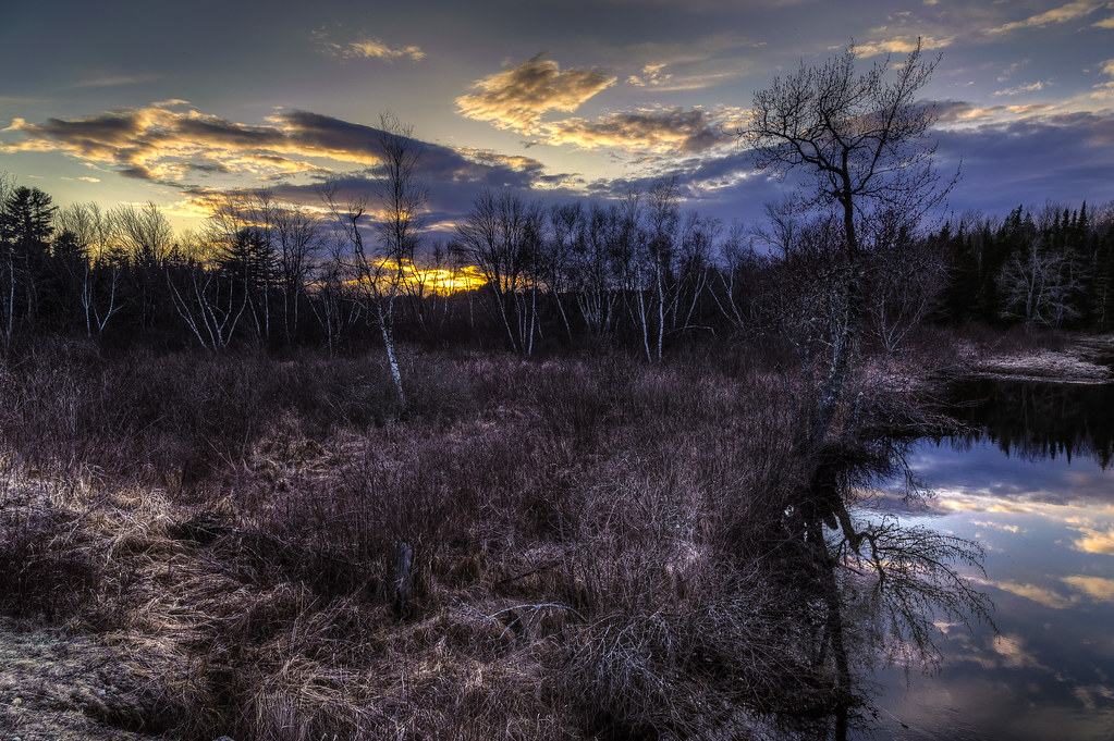
Sunset and Birch
Evening calm along Tunk
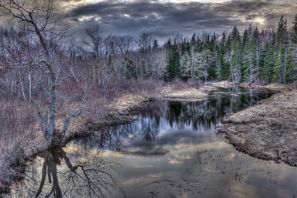
Tunk at Dusk
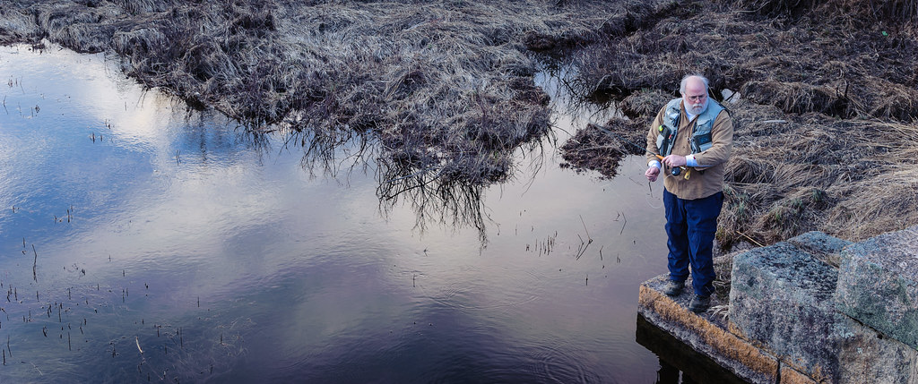
Todd Binns fly fishing
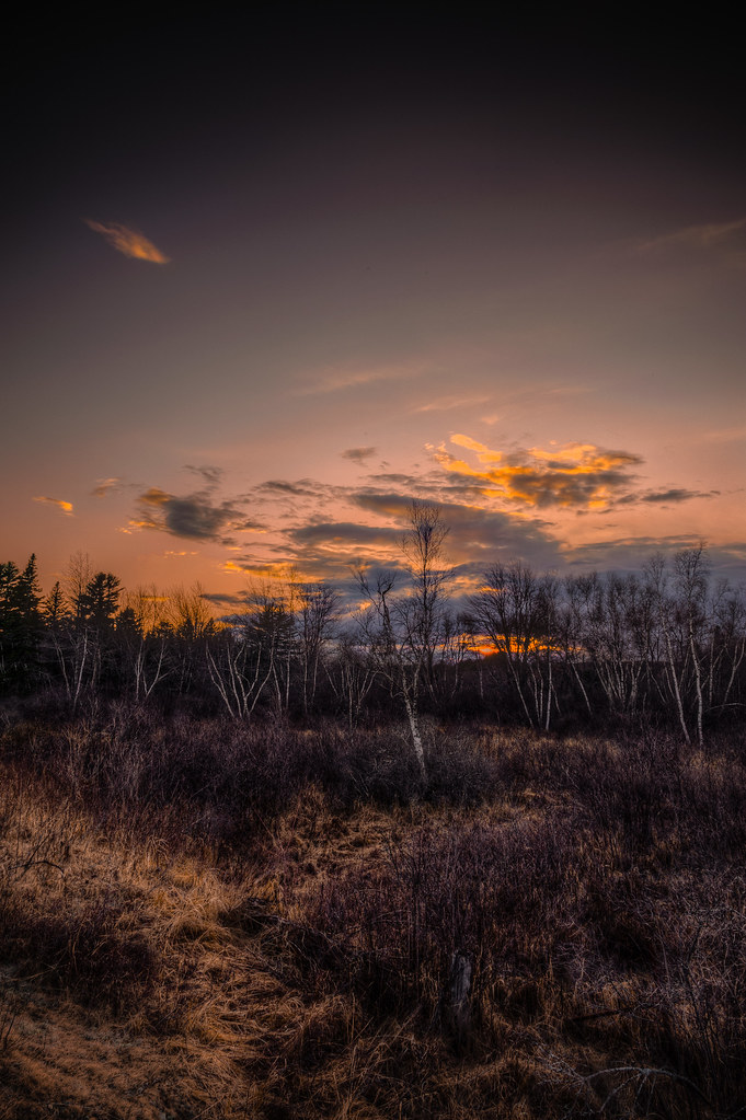
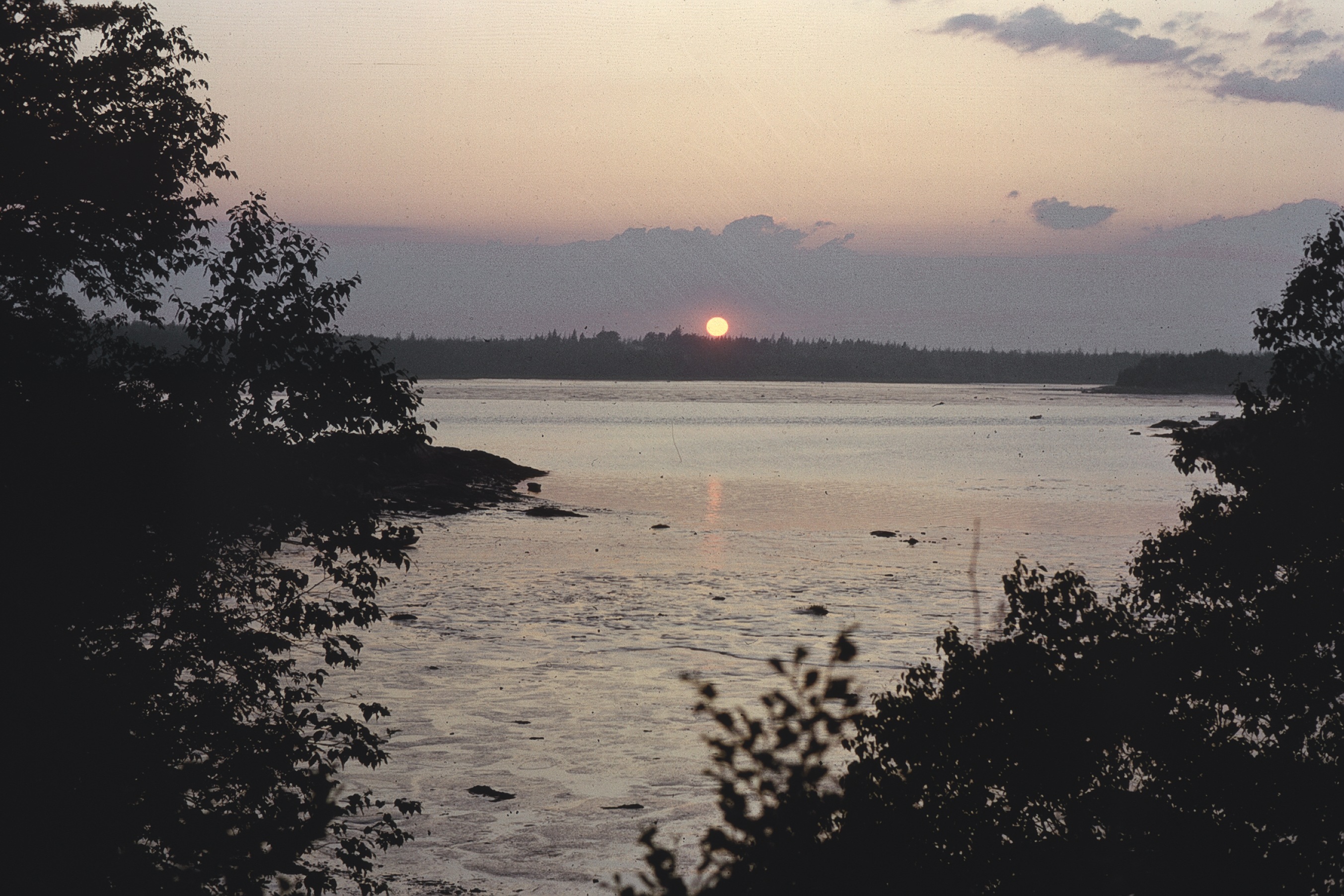
maine sunset
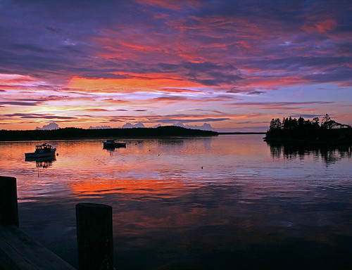
Harrington Landing Sunset
Sunset in the wilderness of Maine.
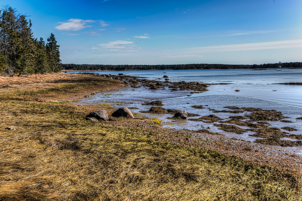
Fundy Bay
Sunset Alpaca/Tauntaun

American Bridge Company

Tree gosts

Tunk Stream from old Down East Sunrise Trail rail bridge
Todd and Kathy's shoreline
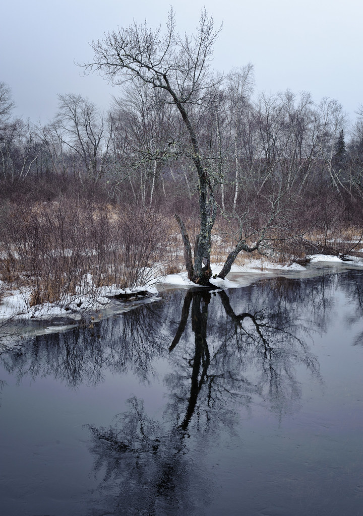
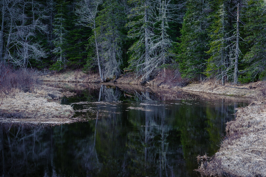
Tunk Stream reflections
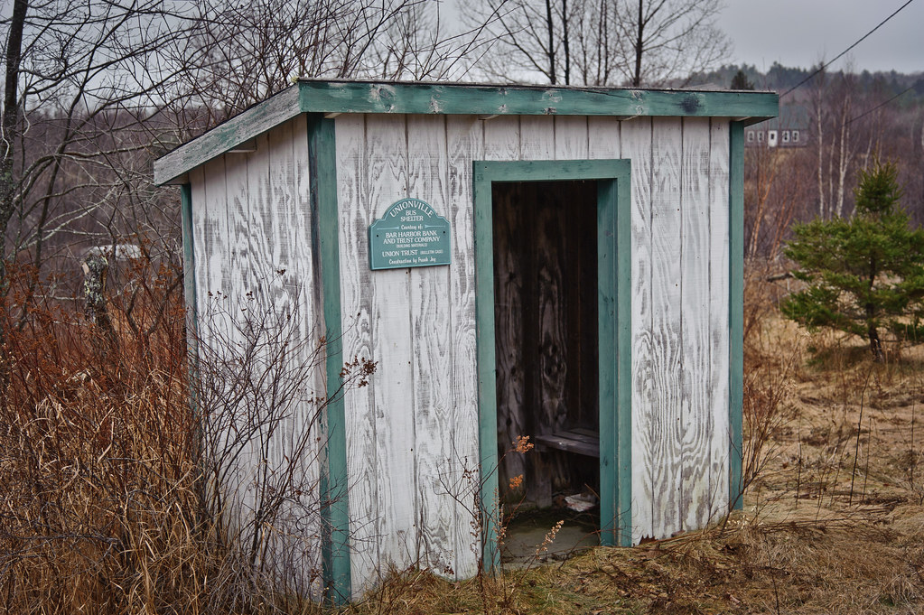
Unionville Bus Shelter

Tunk Stream tributary
Marsh Cove sunrise
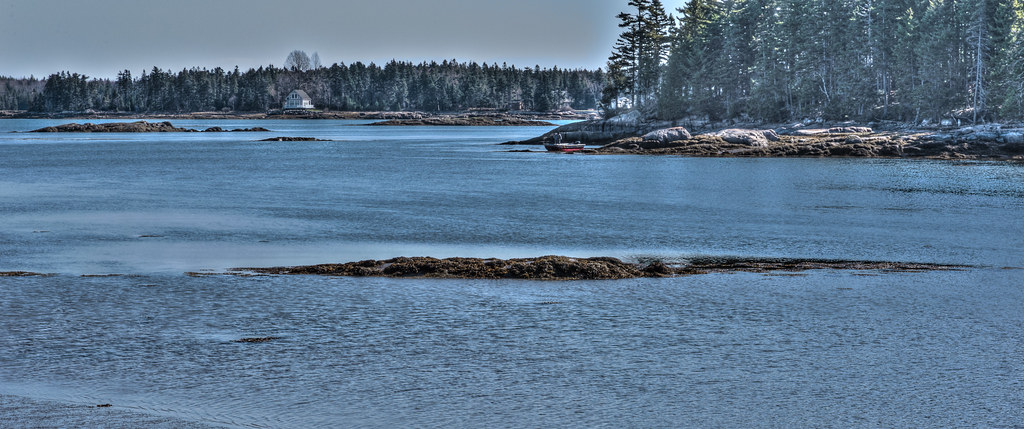
Todd and Kathy's shoreline
アメリカ合衆国 〒 メイン州 チェリーフィールドの地図
別の場所を検索
近所の場所
Unionville Rd, Steuben, ME アメリカ合衆国
Kennedy Hwy, Harrington, ME アメリカ合衆国
アメリカ合衆国 メイン州 ミルブリッジ
Wyman Rd, Milbridge, ME アメリカ合衆国Milbridge United Methodist Church
Oak Point Rd, Harrington, ME アメリカ合衆国
East Side Rd, Steuben, ME アメリカ合衆国East Side Road
アメリカ合衆国 メイン州 スチューベン
Putnam Dr, Harrington, ME アメリカ合衆国
Putnam Dr, Harrington, ME アメリカ合衆国
アメリカ合衆国 メイン州 ハリントン
60 Tom Leighton Point Rd, Milbridge, ME アメリカ合衆国
Sunset Bay Dr, Steuben, ME アメリカ合衆国サンセット・ベイ・ドライブ
Marshville Rd, Harrington, ME アメリカ合衆国
S Estates Rd, Steuben, ME アメリカ合衆国サウス・エステーツ・ロード
アメリカ合衆国 〒 メイン州 デブロイス
31 Grange Rd, Gouldsboro, ME アメリカ合衆国
アメリカ合衆国 メイン州 ゴールズボロ
Bay Point Ln, Gouldsboro, ME アメリカ合衆国ベイ・ポイント・レーン
アメリカ合衆国 メイン州 アディスン
East Side Rd, Addison, ME アメリカ合衆国イースト・サイド・ロード
最近の検索
- アメリカ合衆国 アラスカ州 レッド・ドッグ・マイン日の出日の入り時間
- Am bhf, Borken, ドイツアム・バーンホーフ日の出日の入り時間
- 4th St E, Sonoma, CA, USA日の出日の入り時間
- Oakland Ave, Williamsport, PA アメリカ合衆国日の出日の入り時間
- Via Roma, Pieranica CR, イタリアローマ通り日の出日の入り時間
- クロアチア 〒 ドゥブロブニク GradClock Tower of Dubrovnik日の出日の入り時間
- アルゼンチン チュブ州 トレリュー日の出日の入り時間
- Hartfords Bluff Cir, Mt Pleasant, SC アメリカ合衆国日の出日の入り時間
- 日本、熊本県熊本市北区日の出日の入り時間
- 中華人民共和国 福州市 平潭県 平潭島日の出日の入り時間