Cherryfield, ME, USA Sonnenaufgang Sonnenuntergang Zeiten
Location: USA > Maine > Washington County >
Zeitzone:
America/New_York
Ortszeit:
2025-06-25 02:37:46
Länge:
-67.9258366
Breite:
44.6072991
Sonnenaufgang Heute:
04:47:54 AM
Sonnenuntergang Heute:
08:21:07 PM
Tageslänge heute:
15h 33m 13s
Sonnenaufgang morgen:
04:48:18 AM
Sonnenuntergang Morgen:
08:21:08 PM
Tageslänge von morgen:
15h 32m 50s
Alle Termine anzeigen
| Datum | Sonnenaufgang | Sonnenuntergang | Tageslänge |
|---|---|---|---|
| 2025-01-01 | 07:08:27 AM | 04:03:09 PM | 8h 54m 42s |
| 2025-01-02 | 07:08:26 AM | 04:04:05 PM | 8h 55m 39s |
| 2025-01-03 | 07:08:22 AM | 04:05:04 PM | 8h 56m 42s |
| 2025-01-04 | 07:08:15 AM | 04:06:04 PM | 8h 57m 49s |
| 2025-01-05 | 07:08:06 AM | 04:07:06 PM | 8h 59m 0s |
| 2025-01-06 | 07:07:54 AM | 04:08:10 PM | 9h 0m 16s |
| 2025-01-07 | 07:07:40 AM | 04:09:15 PM | 9h 1m 35s |
| 2025-01-08 | 07:07:23 AM | 04:10:22 PM | 9h 2m 59s |
| 2025-01-09 | 07:07:03 AM | 04:11:30 PM | 9h 4m 27s |
| 2025-01-10 | 07:06:41 AM | 04:12:40 PM | 9h 5m 59s |
| 2025-01-11 | 07:06:17 AM | 04:13:50 PM | 9h 7m 33s |
| 2025-01-12 | 07:05:50 AM | 04:15:02 PM | 9h 9m 12s |
| 2025-01-13 | 07:05:20 AM | 04:16:15 PM | 9h 10m 55s |
| 2025-01-14 | 07:04:49 AM | 04:17:30 PM | 9h 12m 41s |
| 2025-01-15 | 07:04:14 AM | 04:18:45 PM | 9h 14m 31s |
| 2025-01-16 | 07:03:38 AM | 04:20:01 PM | 9h 16m 23s |
| 2025-01-17 | 07:02:59 AM | 04:21:19 PM | 9h 18m 20s |
| 2025-01-18 | 07:02:18 AM | 04:22:37 PM | 9h 20m 19s |
| 2025-01-19 | 07:01:34 AM | 04:23:56 PM | 9h 22m 22s |
| 2025-01-20 | 07:00:48 AM | 04:25:15 PM | 9h 24m 27s |
| 2025-01-21 | 07:00:00 AM | 04:26:36 PM | 9h 26m 36s |
| 2025-01-22 | 06:59:10 AM | 04:27:57 PM | 9h 28m 47s |
| 2025-01-23 | 06:58:18 AM | 04:29:18 PM | 9h 31m 0s |
| 2025-01-24 | 06:57:23 AM | 04:30:40 PM | 9h 33m 17s |
| 2025-01-25 | 06:56:27 AM | 04:32:03 PM | 9h 35m 36s |
| 2025-01-26 | 06:55:28 AM | 04:33:26 PM | 9h 37m 58s |
| 2025-01-27 | 06:54:28 AM | 04:34:49 PM | 9h 40m 21s |
| 2025-01-28 | 06:53:25 AM | 04:36:13 PM | 9h 42m 48s |
| 2025-01-29 | 06:52:21 AM | 04:37:37 PM | 9h 45m 16s |
| 2025-01-30 | 06:51:15 AM | 04:39:01 PM | 9h 47m 46s |
| 2025-01-31 | 06:50:07 AM | 04:40:26 PM | 9h 50m 19s |
| 2025-02-01 | 06:48:57 AM | 04:41:50 PM | 9h 52m 53s |
| 2025-02-02 | 06:47:45 AM | 04:43:15 PM | 9h 55m 30s |
| 2025-02-03 | 06:46:32 AM | 04:44:40 PM | 9h 58m 8s |
| 2025-02-04 | 06:45:17 AM | 04:46:05 PM | 10h 0m 48s |
| 2025-02-05 | 06:44:00 AM | 04:47:30 PM | 10h 3m 30s |
| 2025-02-06 | 06:42:42 AM | 04:48:54 PM | 10h 6m 12s |
| 2025-02-07 | 06:41:22 AM | 04:50:19 PM | 10h 8m 57s |
| 2025-02-08 | 06:40:01 AM | 04:51:44 PM | 10h 11m 43s |
| 2025-02-09 | 06:38:38 AM | 04:53:09 PM | 10h 14m 31s |
| 2025-02-10 | 06:37:14 AM | 04:54:33 PM | 10h 17m 19s |
| 2025-02-11 | 06:35:48 AM | 04:55:58 PM | 10h 20m 10s |
| 2025-02-12 | 06:34:21 AM | 04:57:22 PM | 10h 23m 1s |
| 2025-02-13 | 06:32:53 AM | 04:58:46 PM | 10h 25m 53s |
| 2025-02-14 | 06:31:23 AM | 05:00:10 PM | 10h 28m 47s |
| 2025-02-15 | 06:29:53 AM | 05:01:34 PM | 10h 31m 41s |
| 2025-02-16 | 06:28:21 AM | 05:02:57 PM | 10h 34m 36s |
| 2025-02-17 | 06:26:47 AM | 05:04:21 PM | 10h 37m 34s |
| 2025-02-18 | 06:25:13 AM | 05:05:44 PM | 10h 40m 31s |
| 2025-02-19 | 06:23:38 AM | 05:07:06 PM | 10h 43m 28s |
| 2025-02-20 | 06:22:02 AM | 05:08:29 PM | 10h 46m 27s |
| 2025-02-21 | 06:20:24 AM | 05:09:51 PM | 10h 49m 27s |
| 2025-02-22 | 06:18:46 AM | 05:11:13 PM | 10h 52m 27s |
| 2025-02-23 | 06:17:07 AM | 05:12:35 PM | 10h 55m 28s |
| 2025-02-24 | 06:15:27 AM | 05:13:56 PM | 10h 58m 29s |
| 2025-02-25 | 06:13:46 AM | 05:15:18 PM | 11h 1m 32s |
| 2025-02-26 | 06:12:04 AM | 05:16:38 PM | 11h 4m 34s |
| 2025-02-27 | 06:10:21 AM | 05:17:59 PM | 11h 7m 38s |
| 2025-02-28 | 06:08:38 AM | 05:19:19 PM | 11h 10m 41s |
| 2025-03-01 | 06:06:54 AM | 05:20:39 PM | 11h 13m 45s |
| 2025-03-02 | 06:05:09 AM | 05:21:59 PM | 11h 16m 50s |
| 2025-03-03 | 06:03:24 AM | 05:23:18 PM | 11h 19m 54s |
| 2025-03-04 | 06:01:38 AM | 05:24:38 PM | 11h 23m 0s |
| 2025-03-05 | 05:59:51 AM | 05:25:57 PM | 11h 26m 6s |
| 2025-03-06 | 05:58:04 AM | 05:27:15 PM | 11h 29m 11s |
| 2025-03-07 | 05:56:16 AM | 05:28:34 PM | 11h 32m 18s |
| 2025-03-08 | 05:54:28 AM | 05:29:52 PM | 11h 35m 24s |
| 2025-03-09 | 06:52:44 AM | 06:31:06 PM | 11h 38m 22s |
| 2025-03-10 | 06:50:55 AM | 06:32:24 PM | 11h 41m 29s |
| 2025-03-11 | 06:49:06 AM | 06:33:41 PM | 11h 44m 35s |
| 2025-03-12 | 06:47:16 AM | 06:34:59 PM | 11h 47m 43s |
| 2025-03-13 | 06:45:26 AM | 06:36:16 PM | 11h 50m 50s |
| 2025-03-14 | 06:43:36 AM | 06:37:32 PM | 11h 53m 56s |
| 2025-03-15 | 06:41:45 AM | 06:38:49 PM | 11h 57m 4s |
| 2025-03-16 | 06:39:55 AM | 06:40:05 PM | 12h 0m 10s |
| 2025-03-17 | 06:38:04 AM | 06:41:22 PM | 12h 3m 18s |
| 2025-03-18 | 06:36:12 AM | 06:42:38 PM | 12h 6m 26s |
| 2025-03-19 | 06:34:21 AM | 06:43:53 PM | 12h 9m 32s |
| 2025-03-20 | 06:32:30 AM | 06:45:09 PM | 12h 12m 39s |
| 2025-03-21 | 06:30:38 AM | 06:46:25 PM | 12h 15m 47s |
| 2025-03-22 | 06:28:47 AM | 06:47:40 PM | 12h 18m 53s |
| 2025-03-23 | 06:26:56 AM | 06:48:56 PM | 12h 22m 0s |
| 2025-03-24 | 06:25:04 AM | 06:50:11 PM | 12h 25m 7s |
| 2025-03-25 | 06:23:13 AM | 06:51:26 PM | 12h 28m 13s |
| 2025-03-26 | 06:21:22 AM | 06:52:41 PM | 12h 31m 19s |
| 2025-03-27 | 06:19:30 AM | 06:53:56 PM | 12h 34m 26s |
| 2025-03-28 | 06:17:39 AM | 06:55:11 PM | 12h 37m 32s |
| 2025-03-29 | 06:15:49 AM | 06:56:26 PM | 12h 40m 37s |
| 2025-03-30 | 06:13:58 AM | 06:57:41 PM | 12h 43m 43s |
| 2025-03-31 | 06:12:08 AM | 06:58:55 PM | 12h 46m 47s |
| 2025-04-01 | 06:10:17 AM | 07:00:10 PM | 12h 49m 53s |
| 2025-04-02 | 06:08:28 AM | 07:01:25 PM | 12h 52m 57s |
| 2025-04-03 | 06:06:38 AM | 07:02:39 PM | 12h 56m 1s |
| 2025-04-04 | 06:04:49 AM | 07:03:54 PM | 12h 59m 5s |
| 2025-04-05 | 06:03:00 AM | 07:05:08 PM | 13h 2m 8s |
| 2025-04-06 | 06:01:12 AM | 07:06:23 PM | 13h 5m 11s |
| 2025-04-07 | 05:59:24 AM | 07:07:37 PM | 13h 8m 13s |
| 2025-04-08 | 05:57:37 AM | 07:08:52 PM | 13h 11m 15s |
| 2025-04-09 | 05:55:50 AM | 07:10:07 PM | 13h 14m 17s |
| 2025-04-10 | 05:54:04 AM | 07:11:21 PM | 13h 17m 17s |
| 2025-04-11 | 05:52:19 AM | 07:12:36 PM | 13h 20m 17s |
| 2025-04-12 | 05:50:34 AM | 07:13:50 PM | 13h 23m 16s |
| 2025-04-13 | 05:48:49 AM | 07:15:05 PM | 13h 26m 16s |
| 2025-04-14 | 05:47:06 AM | 07:16:19 PM | 13h 29m 13s |
| 2025-04-15 | 05:45:23 AM | 07:17:34 PM | 13h 32m 11s |
| 2025-04-16 | 05:43:40 AM | 07:18:48 PM | 13h 35m 8s |
| 2025-04-17 | 05:41:59 AM | 07:20:03 PM | 13h 38m 4s |
| 2025-04-18 | 05:40:18 AM | 07:21:17 PM | 13h 40m 59s |
| 2025-04-19 | 05:38:39 AM | 07:22:32 PM | 13h 43m 53s |
| 2025-04-20 | 05:37:00 AM | 07:23:46 PM | 13h 46m 46s |
| 2025-04-21 | 05:35:22 AM | 07:25:01 PM | 13h 49m 39s |
| 2025-04-22 | 05:33:45 AM | 07:26:15 PM | 13h 52m 30s |
| 2025-04-23 | 05:32:09 AM | 07:27:29 PM | 13h 55m 20s |
| 2025-04-24 | 05:30:34 AM | 07:28:43 PM | 13h 58m 9s |
| 2025-04-25 | 05:29:01 AM | 07:29:57 PM | 14h 0m 56s |
| 2025-04-26 | 05:27:28 AM | 07:31:11 PM | 14h 3m 43s |
| 2025-04-27 | 05:25:56 AM | 07:32:25 PM | 14h 6m 29s |
| 2025-04-28 | 05:24:26 AM | 07:33:39 PM | 14h 9m 13s |
| 2025-04-29 | 05:22:57 AM | 07:34:53 PM | 14h 11m 56s |
| 2025-04-30 | 05:21:29 AM | 07:36:06 PM | 14h 14m 37s |
| 2025-05-01 | 05:20:02 AM | 07:37:19 PM | 14h 17m 17s |
| 2025-05-02 | 05:18:36 AM | 07:38:32 PM | 14h 19m 56s |
| 2025-05-03 | 05:17:12 AM | 07:39:45 PM | 14h 22m 33s |
| 2025-05-04 | 05:15:50 AM | 07:40:57 PM | 14h 25m 7s |
| 2025-05-05 | 05:14:29 AM | 07:42:09 PM | 14h 27m 40s |
| 2025-05-06 | 05:13:09 AM | 07:43:21 PM | 14h 30m 12s |
| 2025-05-07 | 05:11:51 AM | 07:44:33 PM | 14h 32m 42s |
| 2025-05-08 | 05:10:34 AM | 07:45:44 PM | 14h 35m 10s |
| 2025-05-09 | 05:09:19 AM | 07:46:54 PM | 14h 37m 35s |
| 2025-05-10 | 05:08:05 AM | 07:48:05 PM | 14h 40m 0s |
| 2025-05-11 | 05:06:53 AM | 07:49:14 PM | 14h 42m 21s |
| 2025-05-12 | 05:05:43 AM | 07:50:23 PM | 14h 44m 40s |
| 2025-05-13 | 05:04:34 AM | 07:51:32 PM | 14h 46m 58s |
| 2025-05-14 | 05:03:27 AM | 07:52:40 PM | 14h 49m 13s |
| 2025-05-15 | 05:02:22 AM | 07:53:47 PM | 14h 51m 25s |
| 2025-05-16 | 05:01:19 AM | 07:54:54 PM | 14h 53m 35s |
| 2025-05-17 | 05:00:18 AM | 07:56:00 PM | 14h 55m 42s |
| 2025-05-18 | 04:59:18 AM | 07:57:05 PM | 14h 57m 47s |
| 2025-05-19 | 04:58:21 AM | 07:58:10 PM | 14h 59m 49s |
| 2025-05-20 | 04:57:25 AM | 07:59:13 PM | 15h 1m 48s |
| 2025-05-21 | 04:56:31 AM | 08:00:16 PM | 15h 3m 45s |
| 2025-05-22 | 04:55:39 AM | 08:01:17 PM | 15h 5m 38s |
| 2025-05-23 | 04:54:50 AM | 08:02:18 PM | 15h 7m 28s |
| 2025-05-24 | 04:54:02 AM | 08:03:17 PM | 15h 9m 15s |
| 2025-05-25 | 04:53:16 AM | 08:04:16 PM | 15h 11m 0s |
| 2025-05-26 | 04:52:33 AM | 08:05:13 PM | 15h 12m 40s |
| 2025-05-27 | 04:51:52 AM | 08:06:09 PM | 15h 14m 17s |
| 2025-05-28 | 04:51:12 AM | 08:07:04 PM | 15h 15m 52s |
| 2025-05-29 | 04:50:35 AM | 08:07:58 PM | 15h 17m 23s |
| 2025-05-30 | 04:50:01 AM | 08:08:50 PM | 15h 18m 49s |
| 2025-05-31 | 04:49:28 AM | 08:09:41 PM | 15h 20m 13s |
| 2025-06-01 | 04:48:58 AM | 08:10:30 PM | 15h 21m 32s |
| 2025-06-02 | 04:48:29 AM | 08:11:18 PM | 15h 22m 49s |
| 2025-06-03 | 04:48:03 AM | 08:12:05 PM | 15h 24m 2s |
| 2025-06-04 | 04:47:40 AM | 08:12:49 PM | 15h 25m 9s |
| 2025-06-05 | 04:47:18 AM | 08:13:33 PM | 15h 26m 15s |
| 2025-06-06 | 04:46:59 AM | 08:14:14 PM | 15h 27m 15s |
| 2025-06-07 | 04:46:43 AM | 08:14:54 PM | 15h 28m 11s |
| 2025-06-08 | 04:46:28 AM | 08:15:32 PM | 15h 29m 4s |
| 2025-06-09 | 04:46:16 AM | 08:16:08 PM | 15h 29m 52s |
| 2025-06-10 | 04:46:06 AM | 08:16:42 PM | 15h 30m 36s |
| 2025-06-11 | 04:45:58 AM | 08:17:14 PM | 15h 31m 16s |
| 2025-06-12 | 04:45:53 AM | 08:17:45 PM | 15h 31m 52s |
| 2025-06-13 | 04:45:50 AM | 08:18:13 PM | 15h 32m 23s |
| 2025-06-14 | 04:45:49 AM | 08:18:40 PM | 15h 32m 51s |
| 2025-06-15 | 04:45:51 AM | 08:19:04 PM | 15h 33m 13s |
| 2025-06-16 | 04:45:54 AM | 08:19:26 PM | 15h 33m 32s |
| 2025-06-17 | 04:46:00 AM | 08:19:46 PM | 15h 33m 46s |
| 2025-06-18 | 04:46:08 AM | 08:20:04 PM | 15h 33m 56s |
| 2025-06-19 | 04:46:19 AM | 08:20:20 PM | 15h 34m 1s |
| 2025-06-20 | 04:46:31 AM | 08:20:34 PM | 15h 34m 3s |
| 2025-06-21 | 04:46:46 AM | 08:20:45 PM | 15h 33m 59s |
| 2025-06-22 | 04:47:03 AM | 08:20:54 PM | 15h 33m 51s |
| 2025-06-23 | 04:47:22 AM | 08:21:01 PM | 15h 33m 39s |
| 2025-06-24 | 04:47:43 AM | 08:21:06 PM | 15h 33m 23s |
| 2025-06-25 | 04:48:06 AM | 08:21:08 PM | 15h 33m 2s |
| 2025-06-26 | 04:48:31 AM | 08:21:08 PM | 15h 32m 37s |
| 2025-06-27 | 04:48:58 AM | 08:21:06 PM | 15h 32m 8s |
| 2025-06-28 | 04:49:27 AM | 08:21:01 PM | 15h 31m 34s |
| 2025-06-29 | 04:49:57 AM | 08:20:54 PM | 15h 30m 57s |
| 2025-06-30 | 04:50:30 AM | 08:20:45 PM | 15h 30m 15s |
| 2025-07-01 | 04:51:04 AM | 08:20:33 PM | 15h 29m 29s |
| 2025-07-02 | 04:51:41 AM | 08:20:19 PM | 15h 28m 38s |
| 2025-07-03 | 04:52:19 AM | 08:20:03 PM | 15h 27m 44s |
| 2025-07-04 | 04:52:58 AM | 08:19:44 PM | 15h 26m 46s |
| 2025-07-05 | 04:53:39 AM | 08:19:23 PM | 15h 25m 44s |
| 2025-07-06 | 04:54:22 AM | 08:18:59 PM | 15h 24m 37s |
| 2025-07-07 | 04:55:06 AM | 08:18:34 PM | 15h 23m 28s |
| 2025-07-08 | 04:55:52 AM | 08:18:06 PM | 15h 22m 14s |
| 2025-07-09 | 04:56:39 AM | 08:17:36 PM | 15h 20m 57s |
| 2025-07-10 | 04:57:28 AM | 08:17:03 PM | 15h 19m 35s |
| 2025-07-11 | 04:58:18 AM | 08:16:29 PM | 15h 18m 11s |
| 2025-07-12 | 04:59:09 AM | 08:15:52 PM | 15h 16m 43s |
| 2025-07-13 | 05:00:02 AM | 08:15:12 PM | 15h 15m 10s |
| 2025-07-14 | 05:00:56 AM | 08:14:31 PM | 15h 13m 35s |
| 2025-07-15 | 05:01:50 AM | 08:13:48 PM | 15h 11m 58s |
| 2025-07-16 | 05:02:46 AM | 08:13:02 PM | 15h 10m 16s |
| 2025-07-17 | 05:03:43 AM | 08:12:14 PM | 15h 8m 31s |
| 2025-07-18 | 05:04:41 AM | 08:11:25 PM | 15h 6m 44s |
| 2025-07-19 | 05:05:40 AM | 08:10:33 PM | 15h 4m 53s |
| 2025-07-20 | 05:06:40 AM | 08:09:39 PM | 15h 2m 59s |
| 2025-07-21 | 05:07:41 AM | 08:08:43 PM | 15h 1m 2s |
| 2025-07-22 | 05:08:42 AM | 08:07:45 PM | 14h 59m 3s |
| 2025-07-23 | 05:09:44 AM | 08:06:45 PM | 14h 57m 1s |
| 2025-07-24 | 05:10:47 AM | 08:05:44 PM | 14h 54m 57s |
| 2025-07-25 | 05:11:51 AM | 08:04:40 PM | 14h 52m 49s |
| 2025-07-26 | 05:12:55 AM | 08:03:35 PM | 14h 50m 40s |
| 2025-07-27 | 05:14:00 AM | 08:02:27 PM | 14h 48m 27s |
| 2025-07-28 | 05:15:05 AM | 08:01:18 PM | 14h 46m 13s |
| 2025-07-29 | 05:16:11 AM | 08:00:08 PM | 14h 43m 57s |
| 2025-07-30 | 05:17:18 AM | 07:58:55 PM | 14h 41m 37s |
| 2025-07-31 | 05:18:25 AM | 07:57:41 PM | 14h 39m 16s |
| 2025-08-01 | 05:19:32 AM | 07:56:26 PM | 14h 36m 54s |
| 2025-08-02 | 05:20:40 AM | 07:55:08 PM | 14h 34m 28s |
| 2025-08-03 | 05:21:48 AM | 07:53:50 PM | 14h 32m 2s |
| 2025-08-04 | 05:22:56 AM | 07:52:29 PM | 14h 29m 33s |
| 2025-08-05 | 05:24:04 AM | 07:51:07 PM | 14h 27m 3s |
| 2025-08-06 | 05:25:13 AM | 07:49:44 PM | 14h 24m 31s |
| 2025-08-07 | 05:26:22 AM | 07:48:20 PM | 14h 21m 58s |
| 2025-08-08 | 05:27:32 AM | 07:46:54 PM | 14h 19m 22s |
| 2025-08-09 | 05:28:41 AM | 07:45:26 PM | 14h 16m 45s |
| 2025-08-10 | 05:29:51 AM | 07:43:57 PM | 14h 14m 6s |
| 2025-08-11 | 05:31:01 AM | 07:42:27 PM | 14h 11m 26s |
| 2025-08-12 | 05:32:10 AM | 07:40:56 PM | 14h 8m 46s |
| 2025-08-13 | 05:33:20 AM | 07:39:24 PM | 14h 6m 4s |
| 2025-08-14 | 05:34:31 AM | 07:37:50 PM | 14h 3m 19s |
| 2025-08-15 | 05:35:41 AM | 07:36:16 PM | 14h 0m 35s |
| 2025-08-16 | 05:36:51 AM | 07:34:40 PM | 13h 57m 49s |
| 2025-08-17 | 05:38:01 AM | 07:33:03 PM | 13h 55m 2s |
| 2025-08-18 | 05:39:11 AM | 07:31:25 PM | 13h 52m 14s |
| 2025-08-19 | 05:40:22 AM | 07:29:46 PM | 13h 49m 24s |
| 2025-08-20 | 05:41:32 AM | 07:28:07 PM | 13h 46m 35s |
| 2025-08-21 | 05:42:42 AM | 07:26:26 PM | 13h 43m 44s |
| 2025-08-22 | 05:43:53 AM | 07:24:44 PM | 13h 40m 51s |
| 2025-08-23 | 05:45:03 AM | 07:23:02 PM | 13h 37m 59s |
| 2025-08-24 | 05:46:13 AM | 07:21:19 PM | 13h 35m 6s |
| 2025-08-25 | 05:47:23 AM | 07:19:35 PM | 13h 32m 12s |
| 2025-08-26 | 05:48:34 AM | 07:17:50 PM | 13h 29m 16s |
| 2025-08-27 | 05:49:44 AM | 07:16:04 PM | 13h 26m 20s |
| 2025-08-28 | 05:50:54 AM | 07:14:18 PM | 13h 23m 24s |
| 2025-08-29 | 05:52:04 AM | 07:12:31 PM | 13h 20m 27s |
| 2025-08-30 | 05:53:14 AM | 07:10:44 PM | 13h 17m 30s |
| 2025-08-31 | 05:54:24 AM | 07:08:56 PM | 13h 14m 32s |
| 2025-09-01 | 05:55:34 AM | 07:07:07 PM | 13h 11m 33s |
| 2025-09-02 | 05:56:44 AM | 07:05:18 PM | 13h 8m 34s |
| 2025-09-03 | 05:57:54 AM | 07:03:29 PM | 13h 5m 35s |
| 2025-09-04 | 05:59:04 AM | 07:01:39 PM | 13h 2m 35s |
| 2025-09-05 | 06:00:14 AM | 06:59:48 PM | 12h 59m 34s |
| 2025-09-06 | 06:01:24 AM | 06:57:57 PM | 12h 56m 33s |
| 2025-09-07 | 06:02:34 AM | 06:56:06 PM | 12h 53m 32s |
| 2025-09-08 | 06:03:44 AM | 06:54:14 PM | 12h 50m 30s |
| 2025-09-09 | 06:04:54 AM | 06:52:22 PM | 12h 47m 28s |
| 2025-09-10 | 06:06:04 AM | 06:50:30 PM | 12h 44m 26s |
| 2025-09-11 | 06:07:14 AM | 06:48:38 PM | 12h 41m 24s |
| 2025-09-12 | 06:08:24 AM | 06:46:45 PM | 12h 38m 21s |
| 2025-09-13 | 06:09:34 AM | 06:44:52 PM | 12h 35m 18s |
| 2025-09-14 | 06:10:45 AM | 06:42:59 PM | 12h 32m 14s |
| 2025-09-15 | 06:11:55 AM | 06:41:06 PM | 12h 29m 11s |
| 2025-09-16 | 06:13:05 AM | 06:39:13 PM | 12h 26m 8s |
| 2025-09-17 | 06:14:16 AM | 06:37:19 PM | 12h 23m 3s |
| 2025-09-18 | 06:15:26 AM | 06:35:26 PM | 12h 20m 0s |
| 2025-09-19 | 06:16:37 AM | 06:33:33 PM | 12h 16m 56s |
| 2025-09-20 | 06:17:48 AM | 06:31:39 PM | 12h 13m 51s |
| 2025-09-21 | 06:18:59 AM | 06:29:46 PM | 12h 10m 47s |
| 2025-09-22 | 06:20:10 AM | 06:27:53 PM | 12h 7m 43s |
| 2025-09-23 | 06:21:21 AM | 06:26:00 PM | 12h 4m 39s |
| 2025-09-24 | 06:22:32 AM | 06:24:07 PM | 12h 1m 35s |
| 2025-09-25 | 06:23:44 AM | 06:22:14 PM | 11h 58m 30s |
| 2025-09-26 | 06:24:55 AM | 06:20:21 PM | 11h 55m 26s |
| 2025-09-27 | 06:26:07 AM | 06:18:29 PM | 11h 52m 22s |
| 2025-09-28 | 06:27:19 AM | 06:16:37 PM | 11h 49m 18s |
| 2025-09-29 | 06:28:32 AM | 06:14:45 PM | 11h 46m 13s |
| 2025-09-30 | 06:29:44 AM | 06:12:54 PM | 11h 43m 10s |
| 2025-10-01 | 06:30:57 AM | 06:11:03 PM | 11h 40m 6s |
| 2025-10-02 | 06:32:10 AM | 06:09:12 PM | 11h 37m 2s |
| 2025-10-03 | 06:33:23 AM | 06:07:22 PM | 11h 33m 59s |
| 2025-10-04 | 06:34:37 AM | 06:05:32 PM | 11h 30m 55s |
| 2025-10-05 | 06:35:51 AM | 06:03:42 PM | 11h 27m 51s |
| 2025-10-06 | 06:37:05 AM | 06:01:54 PM | 11h 24m 49s |
| 2025-10-07 | 06:38:19 AM | 06:00:05 PM | 11h 21m 46s |
| 2025-10-08 | 06:39:34 AM | 05:58:18 PM | 11h 18m 44s |
| 2025-10-09 | 06:40:49 AM | 05:56:31 PM | 11h 15m 42s |
| 2025-10-10 | 06:42:04 AM | 05:54:44 PM | 11h 12m 40s |
| 2025-10-11 | 06:43:19 AM | 05:52:58 PM | 11h 9m 39s |
| 2025-10-12 | 06:44:35 AM | 05:51:13 PM | 11h 6m 38s |
| 2025-10-13 | 06:45:51 AM | 05:49:29 PM | 11h 3m 38s |
| 2025-10-14 | 06:47:08 AM | 05:47:46 PM | 11h 0m 38s |
| 2025-10-15 | 06:48:24 AM | 05:46:03 PM | 10h 57m 39s |
| 2025-10-16 | 06:49:41 AM | 05:44:21 PM | 10h 54m 40s |
| 2025-10-17 | 06:50:59 AM | 05:42:40 PM | 10h 51m 41s |
| 2025-10-18 | 06:52:17 AM | 05:41:00 PM | 10h 48m 43s |
| 2025-10-19 | 06:53:35 AM | 05:39:21 PM | 10h 45m 46s |
| 2025-10-20 | 06:54:53 AM | 05:37:43 PM | 10h 42m 50s |
| 2025-10-21 | 06:56:11 AM | 05:36:06 PM | 10h 39m 55s |
| 2025-10-22 | 06:57:30 AM | 05:34:30 PM | 10h 37m 0s |
| 2025-10-23 | 06:58:49 AM | 05:32:56 PM | 10h 34m 7s |
| 2025-10-24 | 07:00:09 AM | 05:31:22 PM | 10h 31m 13s |
| 2025-10-25 | 07:01:28 AM | 05:29:49 PM | 10h 28m 21s |
| 2025-10-26 | 07:02:48 AM | 05:28:18 PM | 10h 25m 30s |
| 2025-10-27 | 07:04:08 AM | 05:26:48 PM | 10h 22m 40s |
| 2025-10-28 | 07:05:29 AM | 05:25:20 PM | 10h 19m 51s |
| 2025-10-29 | 07:06:49 AM | 05:23:52 PM | 10h 17m 3s |
| 2025-10-30 | 07:08:10 AM | 05:22:26 PM | 10h 14m 16s |
| 2025-10-31 | 07:09:31 AM | 05:21:02 PM | 10h 11m 31s |
| 2025-11-01 | 07:10:52 AM | 05:19:39 PM | 10h 8m 47s |
| 2025-11-02 | 06:12:16 AM | 04:18:14 PM | 10h 5m 58s |
| 2025-11-03 | 06:13:38 AM | 04:16:54 PM | 10h 3m 16s |
| 2025-11-04 | 06:14:59 AM | 04:15:36 PM | 10h 0m 37s |
| 2025-11-05 | 06:16:20 AM | 04:14:19 PM | 9h 57m 59s |
| 2025-11-06 | 06:17:42 AM | 04:13:04 PM | 9h 55m 22s |
| 2025-11-07 | 06:19:03 AM | 04:11:51 PM | 9h 52m 48s |
| 2025-11-08 | 06:20:24 AM | 04:10:39 PM | 9h 50m 15s |
| 2025-11-09 | 06:21:45 AM | 04:09:29 PM | 9h 47m 44s |
| 2025-11-10 | 06:23:06 AM | 04:08:21 PM | 9h 45m 15s |
| 2025-11-11 | 06:24:27 AM | 04:07:15 PM | 9h 42m 48s |
| 2025-11-12 | 06:25:48 AM | 04:06:11 PM | 9h 40m 23s |
| 2025-11-13 | 06:27:08 AM | 04:05:09 PM | 9h 38m 1s |
| 2025-11-14 | 06:28:28 AM | 04:04:09 PM | 9h 35m 41s |
| 2025-11-15 | 06:29:48 AM | 04:03:10 PM | 9h 33m 22s |
| 2025-11-16 | 06:31:07 AM | 04:02:14 PM | 9h 31m 7s |
| 2025-11-17 | 06:32:26 AM | 04:01:20 PM | 9h 28m 54s |
| 2025-11-18 | 06:33:44 AM | 04:00:28 PM | 9h 26m 44s |
| 2025-11-19 | 06:35:02 AM | 03:59:39 PM | 9h 24m 37s |
| 2025-11-20 | 06:36:19 AM | 03:58:51 PM | 9h 22m 32s |
| 2025-11-21 | 06:37:36 AM | 03:58:06 PM | 9h 20m 30s |
| 2025-11-22 | 06:38:52 AM | 03:57:23 PM | 9h 18m 31s |
| 2025-11-23 | 06:40:07 AM | 03:56:43 PM | 9h 16m 36s |
| 2025-11-24 | 06:41:21 AM | 03:56:04 PM | 9h 14m 43s |
| 2025-11-25 | 06:42:35 AM | 03:55:29 PM | 9h 12m 54s |
| 2025-11-26 | 06:43:47 AM | 03:54:55 PM | 9h 11m 8s |
| 2025-11-27 | 06:44:58 AM | 03:54:24 PM | 9h 9m 26s |
| 2025-11-28 | 06:46:09 AM | 03:53:56 PM | 9h 7m 47s |
| 2025-11-29 | 06:47:18 AM | 03:53:30 PM | 9h 6m 12s |
| 2025-11-30 | 06:48:26 AM | 03:53:06 PM | 9h 4m 40s |
| 2025-12-01 | 06:49:33 AM | 03:52:45 PM | 9h 3m 12s |
| 2025-12-02 | 06:50:38 AM | 03:52:27 PM | 9h 1m 49s |
| 2025-12-03 | 06:51:42 AM | 03:52:11 PM | 9h 0m 29s |
| 2025-12-04 | 06:52:45 AM | 03:51:58 PM | 8h 59m 13s |
| 2025-12-05 | 06:53:46 AM | 03:51:47 PM | 8h 58m 1s |
| 2025-12-06 | 06:54:45 AM | 03:51:39 PM | 8h 56m 54s |
| 2025-12-07 | 06:55:43 AM | 03:51:34 PM | 8h 55m 51s |
| 2025-12-08 | 06:56:39 AM | 03:51:31 PM | 8h 54m 52s |
| 2025-12-09 | 06:57:34 AM | 03:51:31 PM | 8h 53m 57s |
| 2025-12-10 | 06:58:26 AM | 03:51:33 PM | 8h 53m 7s |
| 2025-12-11 | 06:59:17 AM | 03:51:38 PM | 8h 52m 21s |
| 2025-12-12 | 07:00:06 AM | 03:51:46 PM | 8h 51m 40s |
| 2025-12-13 | 07:00:52 AM | 03:51:56 PM | 8h 51m 4s |
| 2025-12-14 | 07:01:37 AM | 03:52:09 PM | 8h 50m 32s |
| 2025-12-15 | 07:02:20 AM | 03:52:24 PM | 8h 50m 4s |
| 2025-12-16 | 07:03:00 AM | 03:52:42 PM | 8h 49m 42s |
| 2025-12-17 | 07:03:39 AM | 03:53:03 PM | 8h 49m 24s |
| 2025-12-18 | 07:04:15 AM | 03:53:26 PM | 8h 49m 11s |
| 2025-12-19 | 07:04:49 AM | 03:53:52 PM | 8h 49m 3s |
| 2025-12-20 | 07:05:20 AM | 03:54:20 PM | 8h 49m 0s |
| 2025-12-21 | 07:05:49 AM | 03:54:50 PM | 8h 49m 1s |
| 2025-12-22 | 07:06:16 AM | 03:55:23 PM | 8h 49m 7s |
| 2025-12-23 | 07:06:40 AM | 03:55:58 PM | 8h 49m 18s |
| 2025-12-24 | 07:07:02 AM | 03:56:36 PM | 8h 49m 34s |
| 2025-12-25 | 07:07:22 AM | 03:57:16 PM | 8h 49m 54s |
| 2025-12-26 | 07:07:39 AM | 03:57:58 PM | 8h 50m 19s |
| 2025-12-27 | 07:07:53 AM | 03:58:42 PM | 8h 50m 49s |
| 2025-12-28 | 07:08:05 AM | 03:59:29 PM | 8h 51m 24s |
| 2025-12-29 | 07:08:14 AM | 04:00:17 PM | 8h 52m 3s |
| 2025-12-30 | 07:08:21 AM | 04:01:08 PM | 8h 52m 47s |
| 2025-12-31 | 07:08:26 AM | 04:02:00 PM | 8h 53m 34s |
Fotos

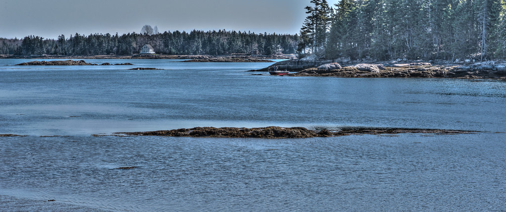
Tunk at Dusk
Tunk at Dusk
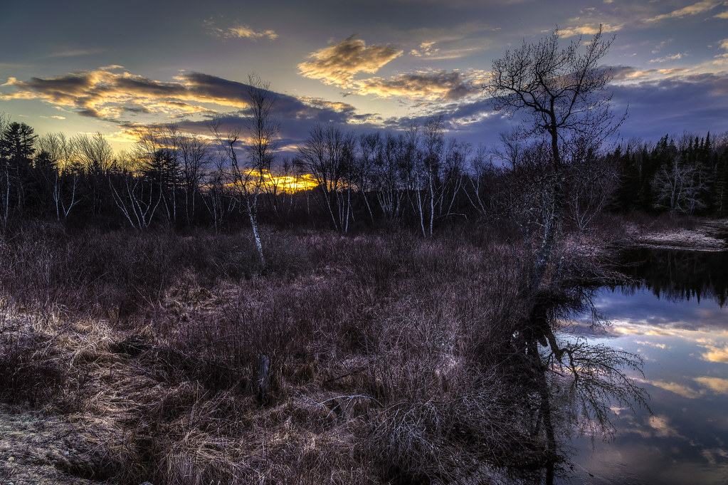
Sunset and Birch
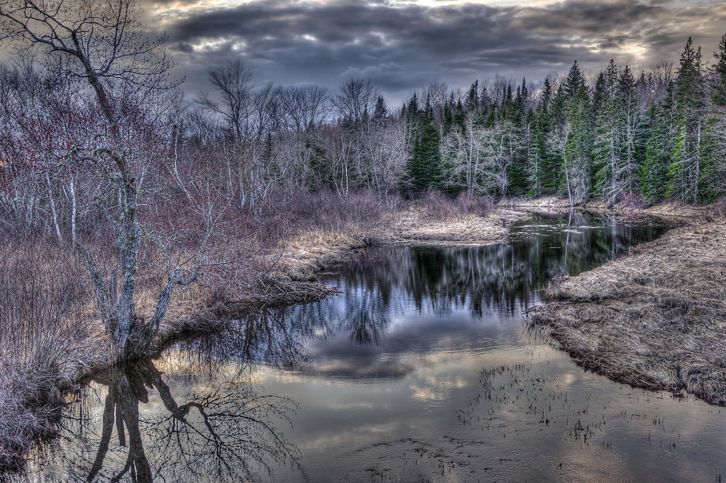
Evening calm along Tunk
Tunk at Dusk
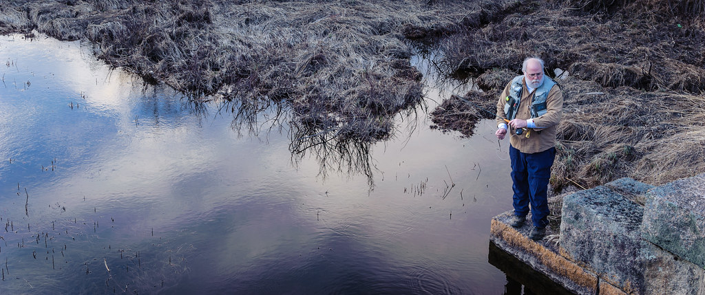
Todd Binns fly fishing
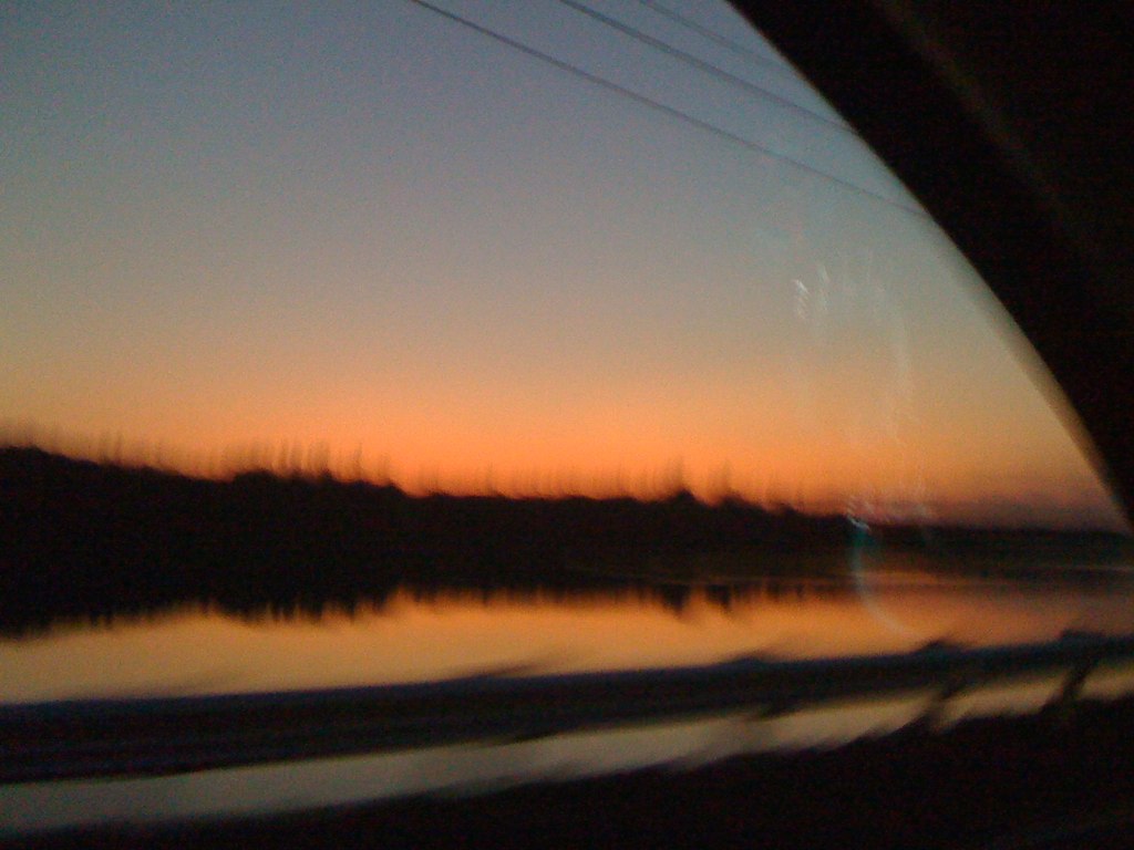
maine sunset

Harrington Landing Sunset
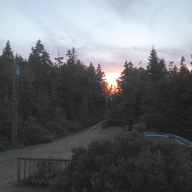
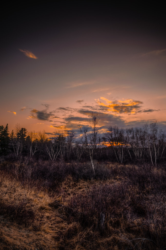
Sunset in the wilderness of Maine.

Fundy Bay
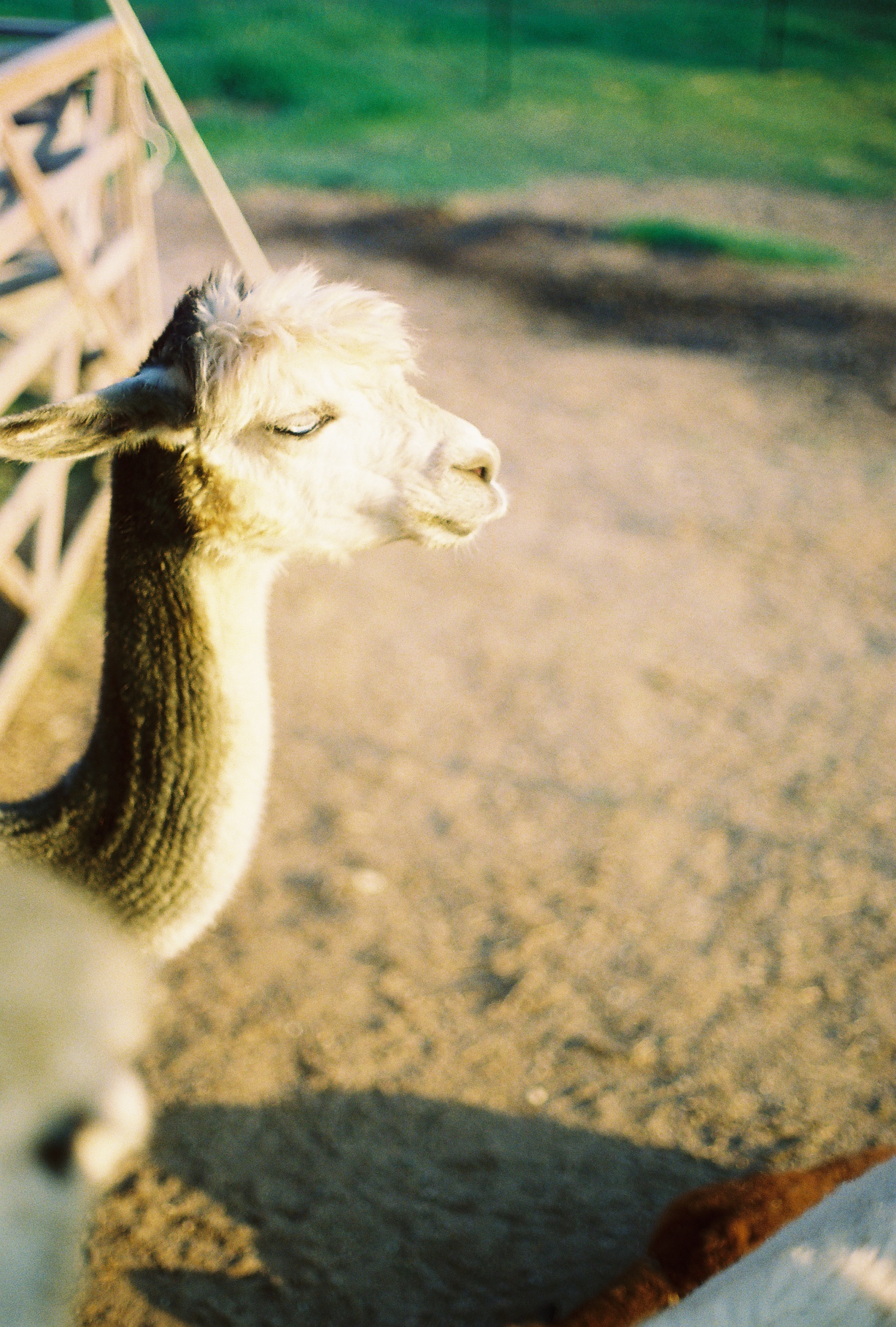
Sunset Alpaca/Tauntaun

American Bridge Company

Tree gosts

Tunk Stream from old Down East Sunrise Trail rail bridge
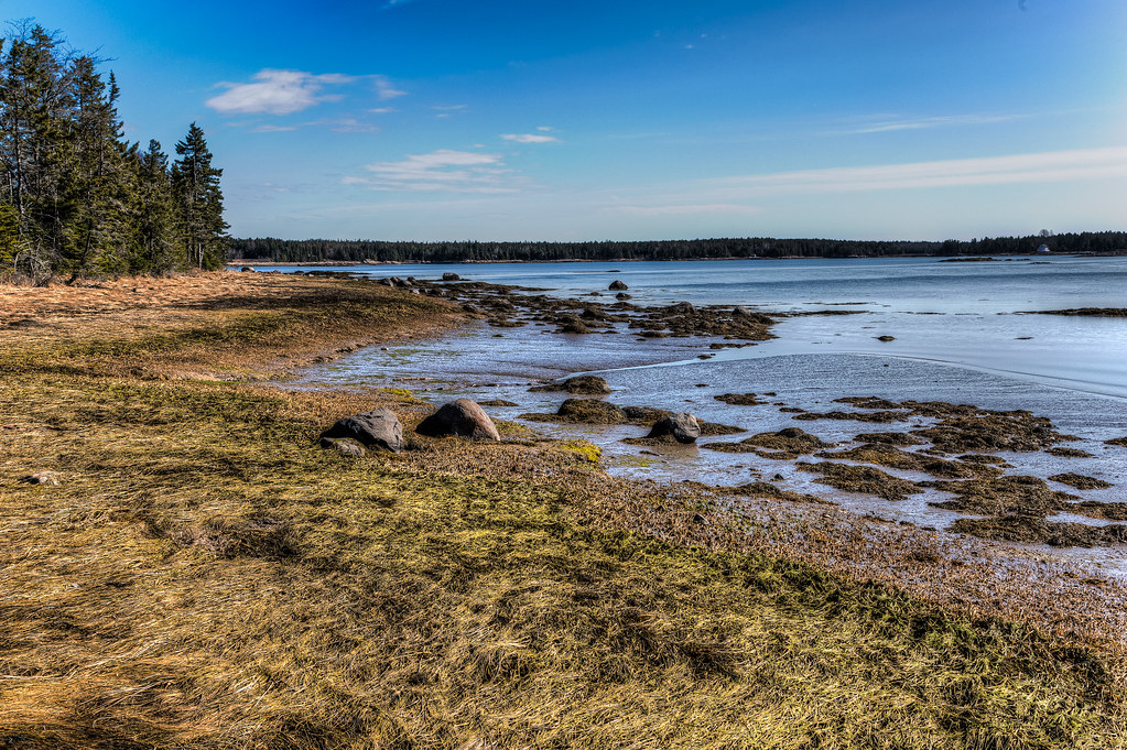
Todd and Kathy's shoreline
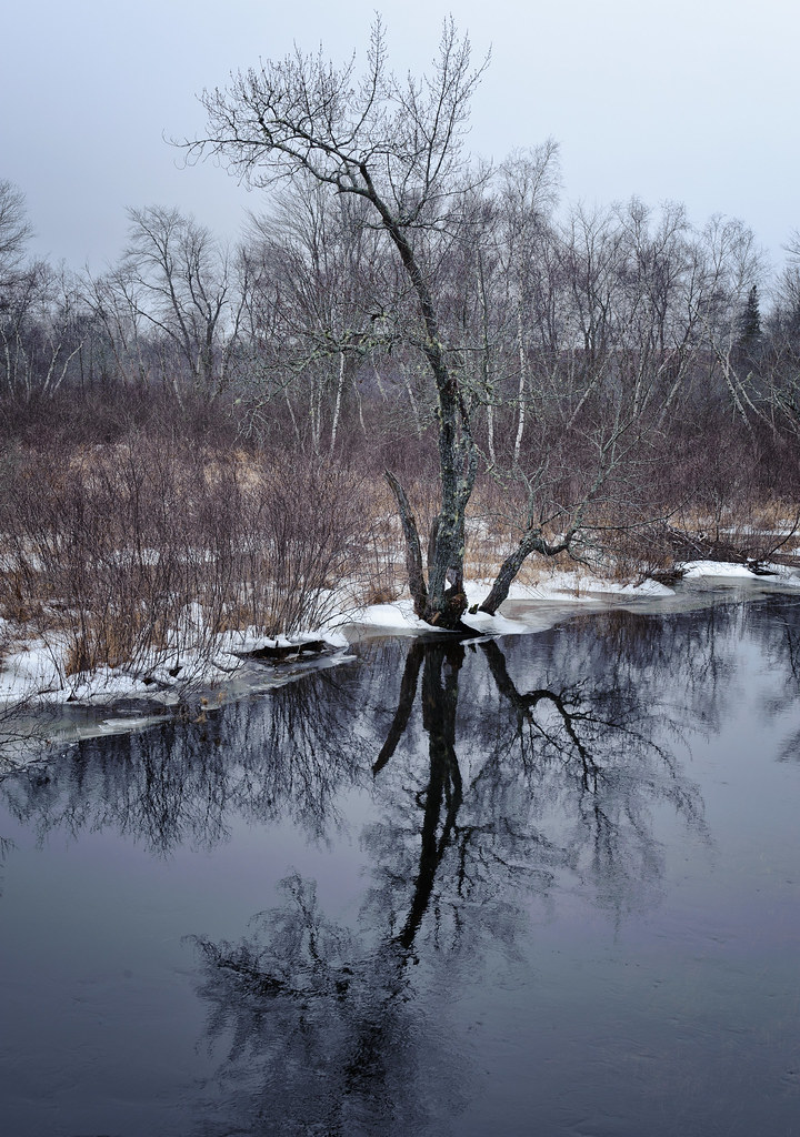
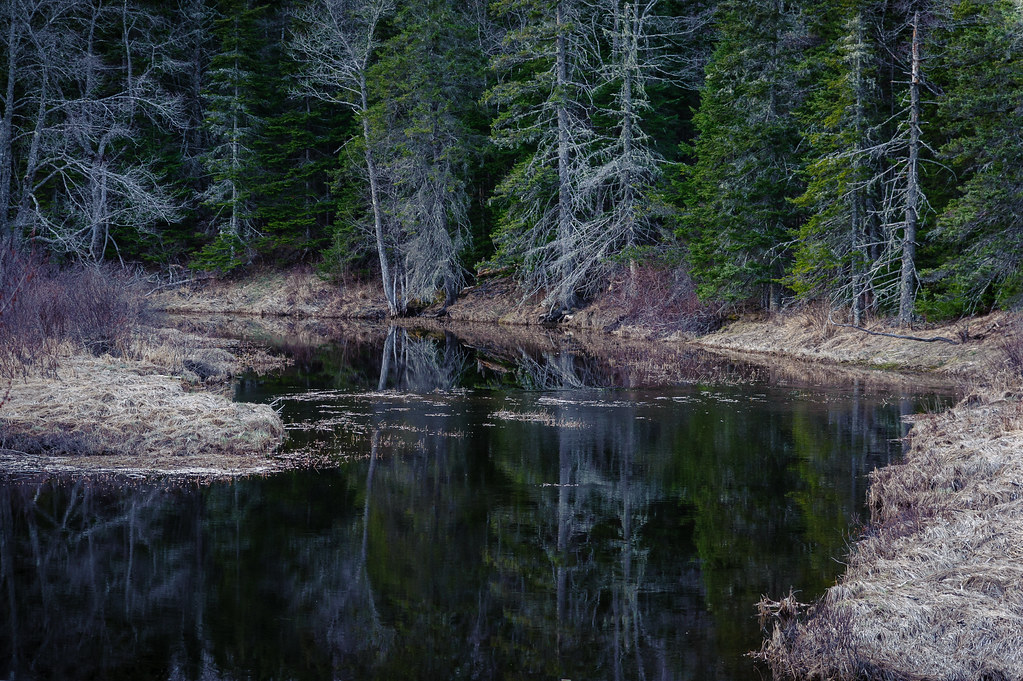
Tunk Stream reflections
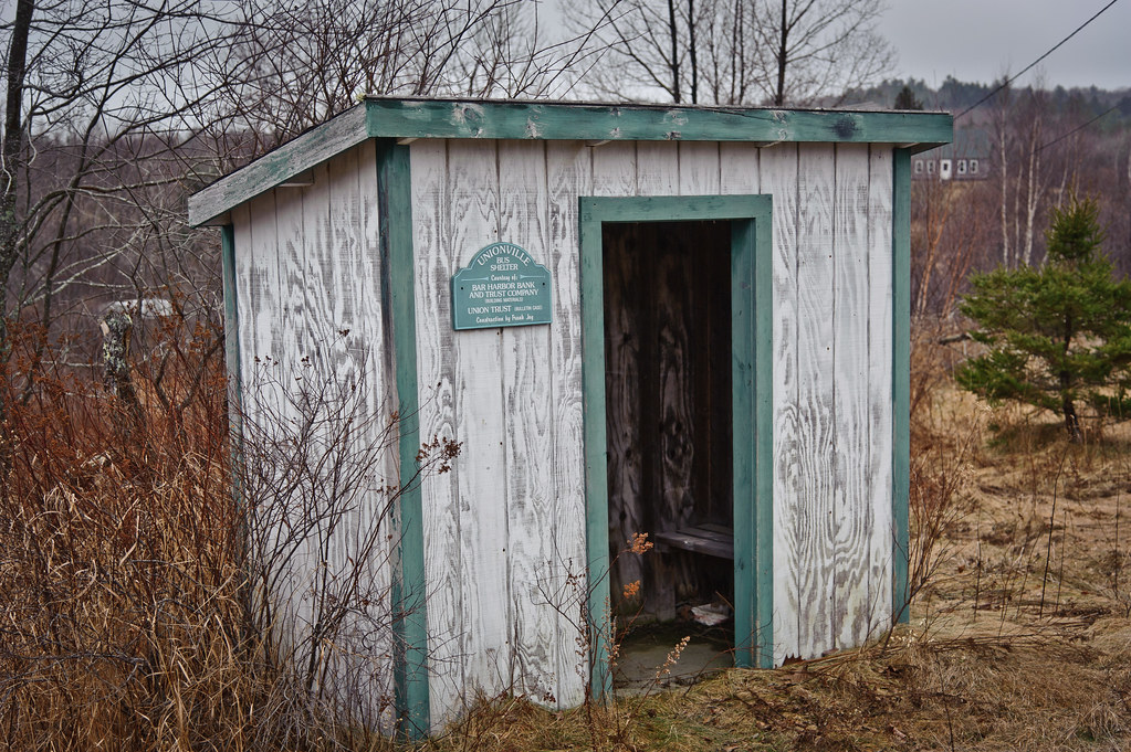
Unionville Bus Shelter

Tunk Stream tributary
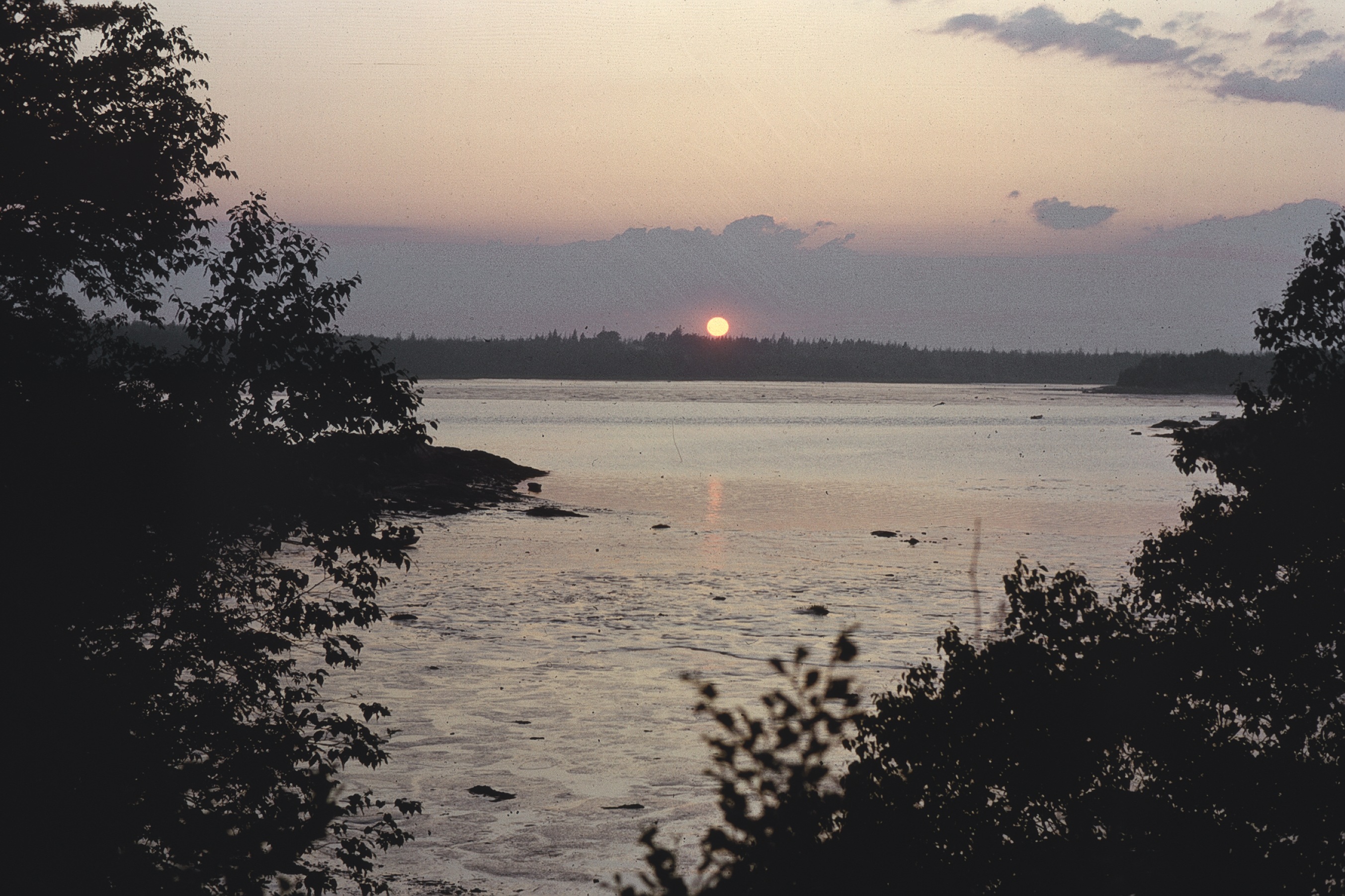
Marsh Cove sunrise
Todd and Kathy's shoreline
Cherryfield, ME, USA Karte
Suchen Sie einen anderen Ort
Nahe Plätze
Unionville Rd, Steuben, ME, USA
Kennedy Hwy, Harrington, ME, USA
Milbridge, ME, USA
Milbridge United Methodist Church, Wyman Rd, Milbridge, ME, USA
Oak Point Rd, Harrington, ME, USA
East Side Road, East Side Rd, Steuben, ME, USA
Steuben, ME, USA
Putnam Dr, Harrington, ME, USA
Putnam Dr, Harrington, ME, USA
Harrington, ME, USA
60 Tom Leighton Point Rd, Milbridge, ME, USA
Sunset Bay Drive, Sunset Bay Dr, Steuben, ME, USA
Marshville Rd, Harrington, ME, USA
South Estates Road, S Estates Rd, Steuben, ME, USA
DeBlois, Maine, USA
31 Grange Rd, Gouldsboro, ME, USA
Gouldsboro, ME, USA
Bay Point Lane, Bay Point Ln, Gouldsboro, ME, USA
Addison, Maine, USA
East Side Road, East Side Rd, Addison, ME, USA
Letzte Suche
- Red Dog Mine, AK, USA Sonnenaufgang Sonnenuntergang Zeiten
- Am Bahnhof, Am bhf, Borken, Germany Sonnenaufgang Sonnenuntergang Zeiten
- 4th St E, Sonoma, CA, USA Sonnenaufgang Sonnenuntergang Zeiten
- Oakland Ave, Williamsport, PA, USA Sonnenaufgang Sonnenuntergang Zeiten
- Via Roma, Pieranica CR, Italien Sonnenaufgang Sonnenuntergang Zeiten
- Glockenturm, Grad, Dubrovnik, Kroatien Sonnenaufgang Sonnenuntergang Zeiten
- Trelew, Chubut Province, Argentina Sonnenaufgang Sonnenuntergang Zeiten
- Hartfords Bluff Cir, Mt Pleasant, SC, USA Sonnenaufgang Sonnenuntergang Zeiten
- Kita-ku, Kumamoto, Präfektur Kumamoto, Japan Sonnenaufgang Sonnenuntergang Zeiten
- Pingtan Island, Pingtan County, Fuzhou, China Sonnenaufgang Sonnenuntergang Zeiten