Buckhorn Rd, White Bird, ID アメリカ合衆国日の出日の入り時間
Location: アメリカ合衆国 > アイダホ州 > アメリカ合衆国 〒 アイダホ州 ホワイト・バード >
時間帯:
America/Boise
現地時間:
2025-07-09 10:02:19
経度:
-116.3408487
緯度:
45.7692393
今日の日の出時刻:
06:06:30 AM
今日の日の入時刻:
09:35:15 PM
今日の日長:
15h 28m 45s
明日の日の出時刻:
06:07:22 AM
明日の日の入時刻:
09:34:39 PM
明日の日長:
15h 27m 17s
すべて表示する
| 日付 | 日出 | 日没 | 日長 |
|---|---|---|---|
| 2025年01月01日 | 08:26:18 AM | 05:12:49 PM | 8h 46m 31s |
| 2025年01月02日 | 08:26:15 AM | 05:13:48 PM | 8h 47m 33s |
| 2025年01月03日 | 08:26:08 AM | 05:14:48 PM | 8h 48m 40s |
| 2025年01月04日 | 08:25:59 AM | 05:15:51 PM | 8h 49m 52s |
| 2025年01月05日 | 08:25:48 AM | 05:16:55 PM | 8h 51m 7s |
| 2025年01月06日 | 08:25:34 AM | 05:18:01 PM | 8h 52m 27s |
| 2025年01月07日 | 08:25:17 AM | 05:19:08 PM | 8h 53m 51s |
| 2025年01月08日 | 08:24:57 AM | 05:20:17 PM | 8h 55m 20s |
| 2025年01月09日 | 08:24:35 AM | 05:21:28 PM | 8h 56m 53s |
| 2025年01月10日 | 08:24:10 AM | 05:22:40 PM | 8h 58m 30s |
| 2025年01月11日 | 08:23:43 AM | 05:23:53 PM | 9h 0m 10s |
| 2025年01月12日 | 08:23:13 AM | 05:25:08 PM | 9h 1m 55s |
| 2025年01月13日 | 08:22:40 AM | 05:26:24 PM | 9h 3m 44s |
| 2025年01月14日 | 08:22:06 AM | 05:27:41 PM | 9h 5m 35s |
| 2025年01月15日 | 08:21:28 AM | 05:28:59 PM | 9h 7m 31s |
| 2025年01月16日 | 08:20:48 AM | 05:30:19 PM | 9h 9m 31s |
| 2025年01月17日 | 08:20:06 AM | 05:31:39 PM | 9h 11m 33s |
| 2025年01月18日 | 08:19:21 AM | 05:33:00 PM | 9h 13m 39s |
| 2025年01月19日 | 08:18:35 AM | 05:34:22 PM | 9h 15m 47s |
| 2025年01月20日 | 08:17:45 AM | 05:35:45 PM | 9h 18m 0s |
| 2025年01月21日 | 08:16:54 AM | 05:37:08 PM | 9h 20m 14s |
| 2025年01月22日 | 08:16:00 AM | 05:38:33 PM | 9h 22m 33s |
| 2025年01月23日 | 08:15:04 AM | 05:39:57 PM | 9h 24m 53s |
| 2025年01月24日 | 08:14:06 AM | 05:41:23 PM | 9h 27m 17s |
| 2025年01月25日 | 08:13:06 AM | 05:42:49 PM | 9h 29m 43s |
| 2025年01月26日 | 08:12:04 AM | 05:44:15 PM | 9h 32m 11s |
| 2025年01月27日 | 08:10:59 AM | 05:45:42 PM | 9h 34m 43s |
| 2025年01月28日 | 08:09:53 AM | 05:47:09 PM | 9h 37m 16s |
| 2025年01月29日 | 08:08:45 AM | 05:48:36 PM | 9h 39m 51s |
| 2025年01月30日 | 08:07:35 AM | 05:50:04 PM | 9h 42m 29s |
| 2025年01月31日 | 08:06:23 AM | 05:51:32 PM | 9h 45m 9s |
| 2025年02月01日 | 08:05:09 AM | 05:53:00 PM | 9h 47m 51s |
| 2025年02月02日 | 08:03:53 AM | 05:54:29 PM | 9h 50m 36s |
| 2025年02月03日 | 08:02:36 AM | 05:55:57 PM | 9h 53m 21s |
| 2025年02月04日 | 08:01:17 AM | 05:57:25 PM | 9h 56m 8s |
| 2025年02月05日 | 07:59:57 AM | 05:58:54 PM | 9h 58m 57s |
| 2025年02月06日 | 07:58:34 AM | 06:00:22 PM | 10h 1m 48s |
| 2025年02月07日 | 07:57:10 AM | 06:01:51 PM | 10h 4m 41s |
| 2025年02月08日 | 07:55:45 AM | 06:03:19 PM | 10h 7m 34s |
| 2025年02月09日 | 07:54:18 AM | 06:04:48 PM | 10h 10m 30s |
| 2025年02月10日 | 07:52:50 AM | 06:06:16 PM | 10h 13m 26s |
| 2025年02月11日 | 07:51:20 AM | 06:07:44 PM | 10h 16m 24s |
| 2025年02月12日 | 07:49:49 AM | 06:09:12 PM | 10h 19m 23s |
| 2025年02月13日 | 07:48:17 AM | 06:10:40 PM | 10h 22m 23s |
| 2025年02月14日 | 07:46:44 AM | 06:12:08 PM | 10h 25m 24s |
| 2025年02月15日 | 07:45:09 AM | 06:13:35 PM | 10h 28m 26s |
| 2025年02月16日 | 07:43:33 AM | 06:15:02 PM | 10h 31m 29s |
| 2025年02月17日 | 07:41:56 AM | 06:16:29 PM | 10h 34m 33s |
| 2025年02月18日 | 07:40:17 AM | 06:17:56 PM | 10h 37m 39s |
| 2025年02月19日 | 07:38:38 AM | 06:19:23 PM | 10h 40m 45s |
| 2025年02月20日 | 07:36:58 AM | 06:20:49 PM | 10h 43m 51s |
| 2025年02月21日 | 07:35:16 AM | 06:22:15 PM | 10h 46m 59s |
| 2025年02月22日 | 07:33:34 AM | 06:23:41 PM | 10h 50m 7s |
| 2025年02月23日 | 07:31:51 AM | 06:25:06 PM | 10h 53m 15s |
| 2025年02月24日 | 07:30:06 AM | 06:26:32 PM | 10h 56m 26s |
| 2025年02月25日 | 07:28:21 AM | 06:27:56 PM | 10h 59m 35s |
| 2025年02月26日 | 07:26:35 AM | 06:29:21 PM | 11h 2m 46s |
| 2025年02月27日 | 07:24:49 AM | 06:30:46 PM | 11h 5m 57s |
| 2025年02月28日 | 07:23:01 AM | 06:32:10 PM | 11h 9m 9s |
| 2025年03月01日 | 07:21:13 AM | 06:33:33 PM | 11h 12m 20s |
| 2025年03月02日 | 07:19:25 AM | 06:34:57 PM | 11h 15m 32s |
| 2025年03月03日 | 07:17:35 AM | 06:36:20 PM | 11h 18m 45s |
| 2025年03月04日 | 07:15:45 AM | 06:37:43 PM | 11h 21m 58s |
| 2025年03月05日 | 07:13:55 AM | 06:39:06 PM | 11h 25m 11s |
| 2025年03月06日 | 07:12:04 AM | 06:40:28 PM | 11h 28m 24s |
| 2025年03月07日 | 07:10:12 AM | 06:41:51 PM | 11h 31m 39s |
| 2025年03月08日 | 07:08:20 AM | 06:43:13 PM | 11h 34m 53s |
| 2025年03月09日 | 08:06:32 AM | 07:44:31 PM | 11h 37m 59s |
| 2025年03月10日 | 08:04:39 AM | 07:45:52 PM | 11h 41m 13s |
| 2025年03月11日 | 08:02:46 AM | 07:47:14 PM | 11h 44m 28s |
| 2025年03月12日 | 08:00:52 AM | 07:48:35 PM | 11h 47m 43s |
| 2025年03月13日 | 07:58:58 AM | 07:49:55 PM | 11h 50m 57s |
| 2025年03月14日 | 07:57:04 AM | 07:51:16 PM | 11h 54m 12s |
| 2025年03月15日 | 07:55:10 AM | 07:52:36 PM | 11h 57m 26s |
| 2025年03月16日 | 07:53:15 AM | 07:53:57 PM | 12h 0m 42s |
| 2025年03月17日 | 07:51:20 AM | 07:55:17 PM | 12h 3m 57s |
| 2025年03月18日 | 07:49:25 AM | 07:56:37 PM | 12h 7m 12s |
| 2025年03月19日 | 07:47:30 AM | 07:57:56 PM | 12h 10m 26s |
| 2025年03月20日 | 07:45:35 AM | 07:59:16 PM | 12h 13m 41s |
| 2025年03月21日 | 07:43:39 AM | 08:00:35 PM | 12h 16m 56s |
| 2025年03月22日 | 07:41:44 AM | 08:01:55 PM | 12h 20m 11s |
| 2025年03月23日 | 07:39:49 AM | 08:03:14 PM | 12h 23m 25s |
| 2025年03月24日 | 07:37:53 AM | 08:04:33 PM | 12h 26m 40s |
| 2025年03月25日 | 07:35:58 AM | 08:05:52 PM | 12h 29m 54s |
| 2025年03月26日 | 07:34:03 AM | 08:07:11 PM | 12h 33m 8s |
| 2025年03月27日 | 07:32:08 AM | 08:08:30 PM | 12h 36m 22s |
| 2025年03月28日 | 07:30:13 AM | 08:09:48 PM | 12h 39m 35s |
| 2025年03月29日 | 07:28:19 AM | 08:11:07 PM | 12h 42m 48s |
| 2025年03月30日 | 07:26:24 AM | 08:12:26 PM | 12h 46m 2s |
| 2025年03月31日 | 07:24:30 AM | 08:13:44 PM | 12h 49m 14s |
| 2025年04月01日 | 07:22:36 AM | 08:15:03 PM | 12h 52m 27s |
| 2025年04月02日 | 07:20:43 AM | 08:16:21 PM | 12h 55m 38s |
| 2025年04月03日 | 07:18:49 AM | 08:17:40 PM | 12h 58m 51s |
| 2025年04月04日 | 07:16:56 AM | 08:18:58 PM | 13h 2m 2s |
| 2025年04月05日 | 07:15:04 AM | 08:20:17 PM | 13h 5m 13s |
| 2025年04月06日 | 07:13:12 AM | 08:21:35 PM | 13h 8m 23s |
| 2025年04月07日 | 07:11:20 AM | 08:22:53 PM | 13h 11m 33s |
| 2025年04月08日 | 07:09:29 AM | 08:24:12 PM | 13h 14m 43s |
| 2025年04月09日 | 07:07:39 AM | 08:25:30 PM | 13h 17m 51s |
| 2025年04月10日 | 07:05:49 AM | 08:26:49 PM | 13h 21m 0s |
| 2025年04月11日 | 07:04:00 AM | 08:28:07 PM | 13h 24m 7s |
| 2025年04月12日 | 07:02:11 AM | 08:29:25 PM | 13h 27m 14s |
| 2025年04月13日 | 07:00:23 AM | 08:30:44 PM | 13h 30m 21s |
| 2025年04月14日 | 06:58:36 AM | 08:32:02 PM | 13h 33m 26s |
| 2025年04月15日 | 06:56:49 AM | 08:33:20 PM | 13h 36m 31s |
| 2025年04月16日 | 06:55:03 AM | 08:34:39 PM | 13h 39m 36s |
| 2025年04月17日 | 06:53:18 AM | 08:35:57 PM | 13h 42m 39s |
| 2025年04月18日 | 06:51:34 AM | 08:37:15 PM | 13h 45m 41s |
| 2025年04月19日 | 06:49:51 AM | 08:38:34 PM | 13h 48m 43s |
| 2025年04月20日 | 06:48:08 AM | 08:39:52 PM | 13h 51m 44s |
| 2025年04月21日 | 06:46:27 AM | 08:41:10 PM | 13h 54m 43s |
| 2025年04月22日 | 06:44:46 AM | 08:42:28 PM | 13h 57m 42s |
| 2025年04月23日 | 06:43:07 AM | 08:43:46 PM | 14h 0m 39s |
| 2025年04月24日 | 06:41:29 AM | 08:45:04 PM | 14h 3m 35s |
| 2025年04月25日 | 06:39:51 AM | 08:46:22 PM | 14h 6m 31s |
| 2025年04月26日 | 06:38:15 AM | 08:47:39 PM | 14h 9m 24s |
| 2025年04月27日 | 06:36:40 AM | 08:48:57 PM | 14h 12m 17s |
| 2025年04月28日 | 06:35:06 AM | 08:50:14 PM | 14h 15m 8s |
| 2025年04月29日 | 06:33:34 AM | 08:51:31 PM | 14h 17m 57s |
| 2025年04月30日 | 06:32:02 AM | 08:52:48 PM | 14h 20m 46s |
| 2025年05月01日 | 06:30:32 AM | 08:54:05 PM | 14h 23m 33s |
| 2025年05月02日 | 06:29:04 AM | 08:55:22 PM | 14h 26m 18s |
| 2025年05月03日 | 06:27:36 AM | 08:56:38 PM | 14h 29m 2s |
| 2025年05月04日 | 06:26:10 AM | 08:57:54 PM | 14h 31m 44s |
| 2025年05月05日 | 06:24:46 AM | 08:59:09 PM | 14h 34m 23s |
| 2025年05月06日 | 06:23:23 AM | 09:00:25 PM | 14h 37m 2s |
| 2025年05月07日 | 06:22:02 AM | 09:01:39 PM | 14h 39m 37s |
| 2025年05月08日 | 06:20:42 AM | 09:02:54 PM | 14h 42m 12s |
| 2025年05月09日 | 06:19:24 AM | 09:04:08 PM | 14h 44m 44s |
| 2025年05月10日 | 06:18:07 AM | 09:05:21 PM | 14h 47m 14s |
| 2025年05月11日 | 06:16:52 AM | 09:06:34 PM | 14h 49m 42s |
| 2025年05月12日 | 06:15:39 AM | 09:07:46 PM | 14h 52m 7s |
| 2025年05月13日 | 06:14:27 AM | 09:08:58 PM | 14h 54m 31s |
| 2025年05月14日 | 06:13:18 AM | 09:10:09 PM | 14h 56m 51s |
| 2025年05月15日 | 06:12:10 AM | 09:11:20 PM | 14h 59m 10s |
| 2025年05月16日 | 06:11:04 AM | 09:12:29 PM | 15h 1m 25s |
| 2025年05月17日 | 06:10:00 AM | 09:13:38 PM | 15h 3m 38s |
| 2025年05月18日 | 06:08:58 AM | 09:14:46 PM | 15h 5m 48s |
| 2025年05月19日 | 06:07:58 AM | 09:15:53 PM | 15h 7m 55s |
| 2025年05月20日 | 06:07:00 AM | 09:16:59 PM | 15h 9m 59s |
| 2025年05月21日 | 06:06:03 AM | 09:18:05 PM | 15h 12m 2s |
| 2025年05月22日 | 06:05:09 AM | 09:19:09 PM | 15h 14m 0s |
| 2025年05月23日 | 06:04:17 AM | 09:20:12 PM | 15h 15m 55s |
| 2025年05月24日 | 06:03:28 AM | 09:21:14 PM | 15h 17m 46s |
| 2025年05月25日 | 06:02:40 AM | 09:22:15 PM | 15h 19m 35s |
| 2025年05月26日 | 06:01:54 AM | 09:23:14 PM | 15h 21m 20s |
| 2025年05月27日 | 06:01:11 AM | 09:24:13 PM | 15h 23m 2s |
| 2025年05月28日 | 06:00:30 AM | 09:25:09 PM | 15h 24m 39s |
| 2025年05月29日 | 05:59:51 AM | 09:26:05 PM | 15h 26m 14s |
| 2025年05月30日 | 05:59:15 AM | 09:26:59 PM | 15h 27m 44s |
| 2025年05月31日 | 05:58:40 AM | 09:27:52 PM | 15h 29m 12s |
| 2025年06月01日 | 05:58:09 AM | 09:28:43 PM | 15h 30m 34s |
| 2025年06月02日 | 05:57:39 AM | 09:29:32 PM | 15h 31m 53s |
| 2025年06月03日 | 05:57:12 AM | 09:30:20 PM | 15h 33m 8s |
| 2025年06月04日 | 05:56:47 AM | 09:31:06 PM | 15h 34m 19s |
| 2025年06月05日 | 05:56:24 AM | 09:31:51 PM | 15h 35m 27s |
| 2025年06月06日 | 05:56:04 AM | 09:32:33 PM | 15h 36m 29s |
| 2025年06月07日 | 05:55:46 AM | 09:33:14 PM | 15h 37m 28s |
| 2025年06月08日 | 05:55:31 AM | 09:33:53 PM | 15h 38m 22s |
| 2025年06月09日 | 05:55:18 AM | 09:34:30 PM | 15h 39m 12s |
| 2025年06月10日 | 05:55:08 AM | 09:35:05 PM | 15h 39m 57s |
| 2025年06月11日 | 05:54:59 AM | 09:35:38 PM | 15h 40m 39s |
| 2025年06月12日 | 05:54:54 AM | 09:36:09 PM | 15h 41m 15s |
| 2025年06月13日 | 05:54:50 AM | 09:36:37 PM | 15h 41m 47s |
| 2025年06月14日 | 05:54:49 AM | 09:37:04 PM | 15h 42m 15s |
| 2025年06月15日 | 05:54:51 AM | 09:37:29 PM | 15h 42m 38s |
| 2025年06月16日 | 05:54:55 AM | 09:37:51 PM | 15h 42m 56s |
| 2025年06月17日 | 05:55:01 AM | 09:38:11 PM | 15h 43m 10s |
| 2025年06月18日 | 05:55:09 AM | 09:38:29 PM | 15h 43m 20s |
| 2025年06月19日 | 05:55:20 AM | 09:38:44 PM | 15h 43m 24s |
| 2025年06月20日 | 05:55:33 AM | 09:38:57 PM | 15h 43m 24s |
| 2025年06月21日 | 05:55:48 AM | 09:39:08 PM | 15h 43m 20s |
| 2025年06月22日 | 05:56:06 AM | 09:39:16 PM | 15h 43m 10s |
| 2025年06月23日 | 05:56:25 AM | 09:39:22 PM | 15h 42m 57s |
| 2025年06月24日 | 05:56:47 AM | 09:39:26 PM | 15h 42m 39s |
| 2025年06月25日 | 05:57:11 AM | 09:39:27 PM | 15h 42m 16s |
| 2025年06月26日 | 05:57:37 AM | 09:39:26 PM | 15h 41m 49s |
| 2025年06月27日 | 05:58:05 AM | 09:39:22 PM | 15h 41m 17s |
| 2025年06月28日 | 05:58:36 AM | 09:39:16 PM | 15h 40m 40s |
| 2025年06月29日 | 05:59:08 AM | 09:39:08 PM | 15h 40m 0s |
| 2025年06月30日 | 05:59:42 AM | 09:38:57 PM | 15h 39m 15s |
| 2025年07月01日 | 06:00:18 AM | 09:38:43 PM | 15h 38m 25s |
| 2025年07月02日 | 06:00:56 AM | 09:38:28 PM | 15h 37m 32s |
| 2025年07月03日 | 06:01:36 AM | 09:38:09 PM | 15h 36m 33s |
| 2025年07月04日 | 06:02:17 AM | 09:37:49 PM | 15h 35m 32s |
| 2025年07月05日 | 06:03:00 AM | 09:37:25 PM | 15h 34m 25s |
| 2025年07月06日 | 06:03:45 AM | 09:37:00 PM | 15h 33m 15s |
| 2025年07月07日 | 06:04:31 AM | 09:36:32 PM | 15h 32m 1s |
| 2025年07月08日 | 06:05:19 AM | 09:36:02 PM | 15h 30m 43s |
| 2025年07月09日 | 06:06:09 AM | 09:35:29 PM | 15h 29m 20s |
| 2025年07月10日 | 06:07:00 AM | 09:34:54 PM | 15h 27m 54s |
| 2025年07月11日 | 06:07:52 AM | 09:34:17 PM | 15h 26m 25s |
| 2025年07月12日 | 06:08:46 AM | 09:33:37 PM | 15h 24m 51s |
| 2025年07月13日 | 06:09:41 AM | 09:32:55 PM | 15h 23m 14s |
| 2025年07月14日 | 06:10:38 AM | 09:32:11 PM | 15h 21m 33s |
| 2025年07月15日 | 06:11:35 AM | 09:31:24 PM | 15h 19m 49s |
| 2025年07月16日 | 06:12:34 AM | 09:30:36 PM | 15h 18m 2s |
| 2025年07月17日 | 06:13:34 AM | 09:29:45 PM | 15h 16m 11s |
| 2025年07月18日 | 06:14:34 AM | 09:28:52 PM | 15h 14m 18s |
| 2025年07月19日 | 06:15:36 AM | 09:27:57 PM | 15h 12m 21s |
| 2025年07月20日 | 06:16:39 AM | 09:27:00 PM | 15h 10m 21s |
| 2025年07月21日 | 06:17:43 AM | 09:26:01 PM | 15h 8m 18s |
| 2025年07月22日 | 06:18:47 AM | 09:25:00 PM | 15h 6m 13s |
| 2025年07月23日 | 06:19:53 AM | 09:23:56 PM | 15h 4m 3s |
| 2025年07月24日 | 06:20:59 AM | 09:22:51 PM | 15h 1m 52s |
| 2025年07月25日 | 06:22:06 AM | 09:21:44 PM | 14h 59m 38s |
| 2025年07月26日 | 06:23:13 AM | 09:20:35 PM | 14h 57m 22s |
| 2025年07月27日 | 06:24:21 AM | 09:19:25 PM | 14h 55m 4s |
| 2025年07月28日 | 06:25:30 AM | 09:18:12 PM | 14h 52m 42s |
| 2025年07月29日 | 06:26:39 AM | 09:16:58 PM | 14h 50m 19s |
| 2025年07月30日 | 06:27:49 AM | 09:15:42 PM | 14h 47m 53s |
| 2025年07月31日 | 06:28:59 AM | 09:14:24 PM | 14h 45m 25s |
| 2025年08月01日 | 06:30:10 AM | 09:13:05 PM | 14h 42m 55s |
| 2025年08月02日 | 06:31:21 AM | 09:11:44 PM | 14h 40m 23s |
| 2025年08月03日 | 06:32:33 AM | 09:10:21 PM | 14h 37m 48s |
| 2025年08月04日 | 06:33:45 AM | 09:08:57 PM | 14h 35m 12s |
| 2025年08月05日 | 06:34:57 AM | 09:07:31 PM | 14h 32m 34s |
| 2025年08月06日 | 06:36:09 AM | 09:06:04 PM | 14h 29m 55s |
| 2025年08月07日 | 06:37:22 AM | 09:04:36 PM | 14h 27m 14s |
| 2025年08月08日 | 06:38:35 AM | 09:03:06 PM | 14h 24m 31s |
| 2025年08月09日 | 06:39:48 AM | 09:01:35 PM | 14h 21m 47s |
| 2025年08月10日 | 06:41:01 AM | 09:00:02 PM | 14h 19m 1s |
| 2025年08月11日 | 06:42:14 AM | 08:58:28 PM | 14h 16m 14s |
| 2025年08月12日 | 06:43:28 AM | 08:56:53 PM | 14h 13m 25s |
| 2025年08月13日 | 06:44:42 AM | 08:55:17 PM | 14h 10m 35s |
| 2025年08月14日 | 06:45:55 AM | 08:53:39 PM | 14h 7m 44s |
| 2025年08月15日 | 06:47:09 AM | 08:52:01 PM | 14h 4m 52s |
| 2025年08月16日 | 06:48:23 AM | 08:50:21 PM | 14h 1m 58s |
| 2025年08月17日 | 06:49:37 AM | 08:48:41 PM | 13h 59m 4s |
| 2025年08月18日 | 06:50:51 AM | 08:46:59 PM | 13h 56m 8s |
| 2025年08月19日 | 06:52:05 AM | 08:45:16 PM | 13h 53m 11s |
| 2025年08月20日 | 06:53:19 AM | 08:43:32 PM | 13h 50m 13s |
| 2025年08月21日 | 06:54:33 AM | 08:41:48 PM | 13h 47m 15s |
| 2025年08月22日 | 06:55:47 AM | 08:40:02 PM | 13h 44m 15s |
| 2025年08月23日 | 06:57:01 AM | 08:38:16 PM | 13h 41m 15s |
| 2025年08月24日 | 06:58:15 AM | 08:36:29 PM | 13h 38m 14s |
| 2025年08月25日 | 06:59:29 AM | 08:34:41 PM | 13h 35m 12s |
| 2025年08月26日 | 07:00:43 AM | 08:32:52 PM | 13h 32m 9s |
| 2025年08月27日 | 07:01:57 AM | 08:31:03 PM | 13h 29m 6s |
| 2025年08月28日 | 07:03:11 AM | 08:29:13 PM | 13h 26m 2s |
| 2025年08月29日 | 07:04:25 AM | 08:27:22 PM | 13h 22m 57s |
| 2025年08月30日 | 07:05:39 AM | 08:25:30 PM | 13h 19m 51s |
| 2025年08月31日 | 07:06:53 AM | 08:23:38 PM | 13h 16m 45s |
| 2025年09月01日 | 07:08:06 AM | 08:21:46 PM | 13h 13m 40s |
| 2025年09月02日 | 07:09:20 AM | 08:19:53 PM | 13h 10m 33s |
| 2025年09月03日 | 07:10:34 AM | 08:17:59 PM | 13h 7m 25s |
| 2025年09月04日 | 07:11:48 AM | 08:16:05 PM | 13h 4m 17s |
| 2025年09月05日 | 07:13:01 AM | 08:14:11 PM | 13h 1m 10s |
| 2025年09月06日 | 07:14:15 AM | 08:12:16 PM | 12h 58m 1s |
| 2025年09月07日 | 07:15:29 AM | 08:10:21 PM | 12h 54m 52s |
| 2025年09月08日 | 07:16:43 AM | 08:08:26 PM | 12h 51m 43s |
| 2025年09月09日 | 07:17:57 AM | 08:06:30 PM | 12h 48m 33s |
| 2025年09月10日 | 07:19:10 AM | 08:04:34 PM | 12h 45m 24s |
| 2025年09月11日 | 07:20:24 AM | 08:02:37 PM | 12h 42m 13s |
| 2025年09月12日 | 07:21:38 AM | 08:00:41 PM | 12h 39m 3s |
| 2025年09月13日 | 07:22:52 AM | 07:58:44 PM | 12h 35m 52s |
| 2025年09月14日 | 07:24:06 AM | 07:56:47 PM | 12h 32m 41s |
| 2025年09月15日 | 07:25:20 AM | 07:54:50 PM | 12h 29m 30s |
| 2025年09月16日 | 07:26:35 AM | 07:52:53 PM | 12h 26m 18s |
| 2025年09月17日 | 07:27:49 AM | 07:50:56 PM | 12h 23m 7s |
| 2025年09月18日 | 07:29:03 AM | 07:48:59 PM | 12h 19m 56s |
| 2025年09月19日 | 07:30:18 AM | 07:47:02 PM | 12h 16m 44s |
| 2025年09月20日 | 07:31:32 AM | 07:45:05 PM | 12h 13m 33s |
| 2025年09月21日 | 07:32:47 AM | 07:43:07 PM | 12h 10m 20s |
| 2025年09月22日 | 07:34:02 AM | 07:41:10 PM | 12h 7m 8s |
| 2025年09月23日 | 07:35:17 AM | 07:39:14 PM | 12h 3m 57s |
| 2025年09月24日 | 07:36:32 AM | 07:37:17 PM | 12h 0m 45s |
| 2025年09月25日 | 07:37:47 AM | 07:35:20 PM | 11h 57m 33s |
| 2025年09月26日 | 07:39:03 AM | 07:33:24 PM | 11h 54m 21s |
| 2025年09月27日 | 07:40:19 AM | 07:31:28 PM | 11h 51m 9s |
| 2025年09月28日 | 07:41:35 AM | 07:29:32 PM | 11h 47m 57s |
| 2025年09月29日 | 07:42:51 AM | 07:27:37 PM | 11h 44m 46s |
| 2025年09月30日 | 07:44:07 AM | 07:25:41 PM | 11h 41m 34s |
| 2025年10月01日 | 07:45:24 AM | 07:23:46 PM | 11h 38m 22s |
| 2025年10月02日 | 07:46:41 AM | 07:21:52 PM | 11h 35m 11s |
| 2025年10月03日 | 07:47:58 AM | 07:19:58 PM | 11h 32m 0s |
| 2025年10月04日 | 07:49:15 AM | 07:18:05 PM | 11h 28m 50s |
| 2025年10月05日 | 07:50:33 AM | 07:16:11 PM | 11h 25m 38s |
| 2025年10月06日 | 07:51:51 AM | 07:14:19 PM | 11h 22m 28s |
| 2025年10月07日 | 07:53:09 AM | 07:12:27 PM | 11h 19m 18s |
| 2025年10月08日 | 07:54:28 AM | 07:10:36 PM | 11h 16m 8s |
| 2025年10月09日 | 07:55:47 AM | 07:08:45 PM | 11h 12m 58s |
| 2025年10月10日 | 07:57:06 AM | 07:06:55 PM | 11h 9m 49s |
| 2025年10月11日 | 07:58:25 AM | 07:05:05 PM | 11h 6m 40s |
| 2025年10月12日 | 07:59:45 AM | 07:03:17 PM | 11h 3m 32s |
| 2025年10月13日 | 08:01:05 AM | 07:01:29 PM | 11h 0m 24s |
| 2025年10月14日 | 08:02:25 AM | 06:59:42 PM | 10h 57m 17s |
| 2025年10月15日 | 08:03:46 AM | 06:57:55 PM | 10h 54m 9s |
| 2025年10月16日 | 08:05:07 AM | 06:56:10 PM | 10h 51m 3s |
| 2025年10月17日 | 08:06:28 AM | 06:54:26 PM | 10h 47m 58s |
| 2025年10月18日 | 08:07:49 AM | 06:52:42 PM | 10h 44m 53s |
| 2025年10月19日 | 08:09:11 AM | 06:50:59 PM | 10h 41m 48s |
| 2025年10月20日 | 08:10:33 AM | 06:49:18 PM | 10h 38m 45s |
| 2025年10月21日 | 08:11:56 AM | 06:47:37 PM | 10h 35m 41s |
| 2025年10月22日 | 08:13:18 AM | 06:45:58 PM | 10h 32m 40s |
| 2025年10月23日 | 08:14:41 AM | 06:44:20 PM | 10h 29m 39s |
| 2025年10月24日 | 08:16:04 AM | 06:42:42 PM | 10h 26m 38s |
| 2025年10月25日 | 08:17:28 AM | 06:41:07 PM | 10h 23m 39s |
| 2025年10月26日 | 08:18:52 AM | 06:39:32 PM | 10h 20m 40s |
| 2025年10月27日 | 08:20:15 AM | 06:37:58 PM | 10h 17m 43s |
| 2025年10月28日 | 08:21:40 AM | 06:36:26 PM | 10h 14m 46s |
| 2025年10月29日 | 08:23:04 AM | 06:34:56 PM | 10h 11m 52s |
| 2025年10月30日 | 08:24:28 AM | 06:33:26 PM | 10h 8m 58s |
| 2025年10月31日 | 08:25:53 AM | 06:31:59 PM | 10h 6m 6s |
| 2025年11月01日 | 08:27:17 AM | 06:30:32 PM | 10h 3m 15s |
| 2025年11月02日 | 07:28:46 AM | 05:29:04 PM | 10h 0m 18s |
| 2025年11月03日 | 07:30:11 AM | 05:27:41 PM | 9h 57m 30s |
| 2025年11月04日 | 07:31:35 AM | 05:26:19 PM | 9h 54m 44s |
| 2025年11月05日 | 07:33:00 AM | 05:24:59 PM | 9h 51m 59s |
| 2025年11月06日 | 07:34:25 AM | 05:23:41 PM | 9h 49m 16s |
| 2025年11月07日 | 07:35:50 AM | 05:22:25 PM | 9h 46m 35s |
| 2025年11月08日 | 07:37:15 AM | 05:21:10 PM | 9h 43m 55s |
| 2025年11月09日 | 07:38:39 AM | 05:19:57 PM | 9h 41m 18s |
| 2025年11月10日 | 07:40:03 AM | 05:18:46 PM | 9h 38m 43s |
| 2025年11月11日 | 07:41:28 AM | 05:17:37 PM | 9h 36m 9s |
| 2025年11月12日 | 07:42:52 AM | 05:16:30 PM | 9h 33m 38s |
| 2025年11月13日 | 07:44:15 AM | 05:15:25 PM | 9h 31m 10s |
| 2025年11月14日 | 07:45:38 AM | 05:14:22 PM | 9h 28m 44s |
| 2025年11月15日 | 07:47:01 AM | 05:13:21 PM | 9h 26m 20s |
| 2025年11月16日 | 07:48:24 AM | 05:12:22 PM | 9h 23m 58s |
| 2025年11月17日 | 07:49:45 AM | 05:11:26 PM | 9h 21m 41s |
| 2025年11月18日 | 07:51:07 AM | 05:10:31 PM | 9h 19m 24s |
| 2025年11月19日 | 07:52:27 AM | 05:09:39 PM | 9h 17m 12s |
| 2025年11月20日 | 07:53:47 AM | 05:08:49 PM | 9h 15m 2s |
| 2025年11月21日 | 07:55:07 AM | 05:08:02 PM | 9h 12m 55s |
| 2025年11月22日 | 07:56:25 AM | 05:07:16 PM | 9h 10m 51s |
| 2025年11月23日 | 07:57:43 AM | 05:06:34 PM | 9h 8m 51s |
| 2025年11月24日 | 07:59:00 AM | 05:05:53 PM | 9h 6m 53s |
| 2025年11月25日 | 08:00:15 AM | 05:05:15 PM | 9h 5m 0s |
| 2025年11月26日 | 08:01:30 AM | 05:04:40 PM | 9h 3m 10s |
| 2025年11月27日 | 08:02:44 AM | 05:04:07 PM | 9h 1m 23s |
| 2025年11月28日 | 08:03:56 AM | 05:03:37 PM | 8h 59m 41s |
| 2025年11月29日 | 08:05:08 AM | 05:03:09 PM | 8h 58m 1s |
| 2025年11月30日 | 08:06:17 AM | 05:02:44 PM | 8h 56m 27s |
| 2025年12月01日 | 08:07:26 AM | 05:02:21 PM | 8h 54m 55s |
| 2025年12月02日 | 08:08:33 AM | 05:02:01 PM | 8h 53m 28s |
| 2025年12月03日 | 08:09:39 AM | 05:01:44 PM | 8h 52m 5s |
| 2025年12月04日 | 08:10:43 AM | 05:01:29 PM | 8h 50m 46s |
| 2025年12月05日 | 08:11:45 AM | 05:01:18 PM | 8h 49m 33s |
| 2025年12月06日 | 08:12:46 AM | 05:01:09 PM | 8h 48m 23s |
| 2025年12月07日 | 08:13:45 AM | 05:01:02 PM | 8h 47m 17s |
| 2025年12月08日 | 08:14:42 AM | 05:00:58 PM | 8h 46m 16s |
| 2025年12月09日 | 08:15:38 AM | 05:00:58 PM | 8h 45m 20s |
| 2025年12月10日 | 08:16:31 AM | 05:00:59 PM | 8h 44m 28s |
| 2025年12月11日 | 08:17:23 AM | 05:01:04 PM | 8h 43m 41s |
| 2025年12月12日 | 08:18:12 AM | 05:01:11 PM | 8h 42m 59s |
| 2025年12月13日 | 08:18:59 AM | 05:01:21 PM | 8h 42m 22s |
| 2025年12月14日 | 08:19:44 AM | 05:01:34 PM | 8h 41m 50s |
| 2025年12月15日 | 08:20:27 AM | 05:01:49 PM | 8h 41m 22s |
| 2025年12月16日 | 08:21:08 AM | 05:02:07 PM | 8h 40m 59s |
| 2025年12月17日 | 08:21:46 AM | 05:02:28 PM | 8h 40m 42s |
| 2025年12月18日 | 08:22:22 AM | 05:02:51 PM | 8h 40m 29s |
| 2025年12月19日 | 08:22:55 AM | 05:03:17 PM | 8h 40m 22s |
| 2025年12月20日 | 08:23:26 AM | 05:03:46 PM | 8h 40m 20s |
| 2025年12月21日 | 08:23:55 AM | 05:04:17 PM | 8h 40m 22s |
| 2025年12月22日 | 08:24:21 AM | 05:04:50 PM | 8h 40m 29s |
| 2025年12月23日 | 08:24:45 AM | 05:05:26 PM | 8h 40m 41s |
| 2025年12月24日 | 08:25:06 AM | 05:06:05 PM | 8h 40m 59s |
| 2025年12月25日 | 08:25:24 AM | 05:06:46 PM | 8h 41m 22s |
| 2025年12月26日 | 08:25:40 AM | 05:07:29 PM | 8h 41m 49s |
| 2025年12月27日 | 08:25:53 AM | 05:08:15 PM | 8h 42m 22s |
| 2025年12月28日 | 08:26:03 AM | 05:09:02 PM | 8h 42m 59s |
| 2025年12月29日 | 08:26:11 AM | 05:09:52 PM | 8h 43m 41s |
| 2025年12月30日 | 08:26:16 AM | 05:10:45 PM | 8h 44m 29s |
| 2025年12月31日 | 08:26:19 AM | 05:11:39 PM | 8h 45m 20s |
写真

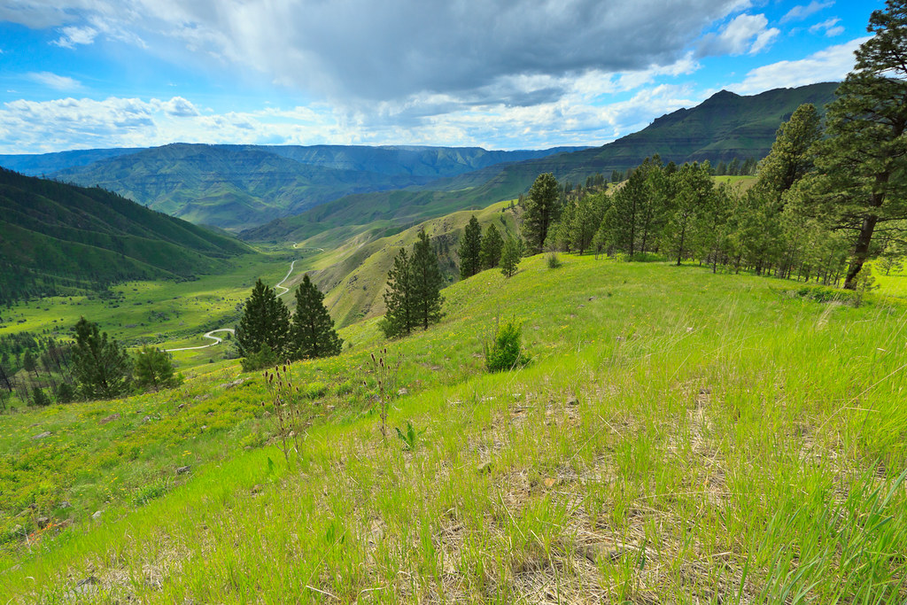
Sunrise at Cindy & Jay's

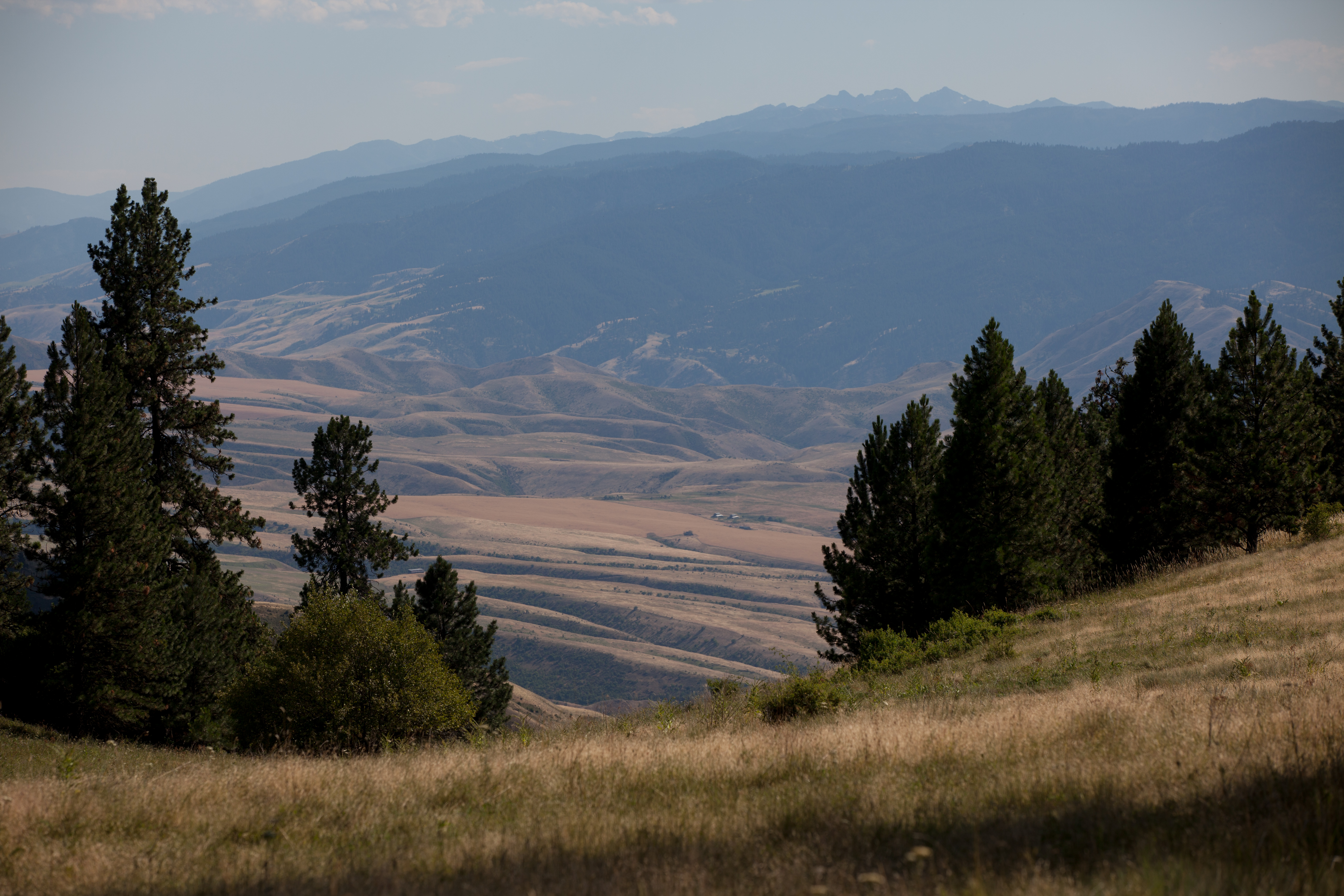
Beyond earlier limits
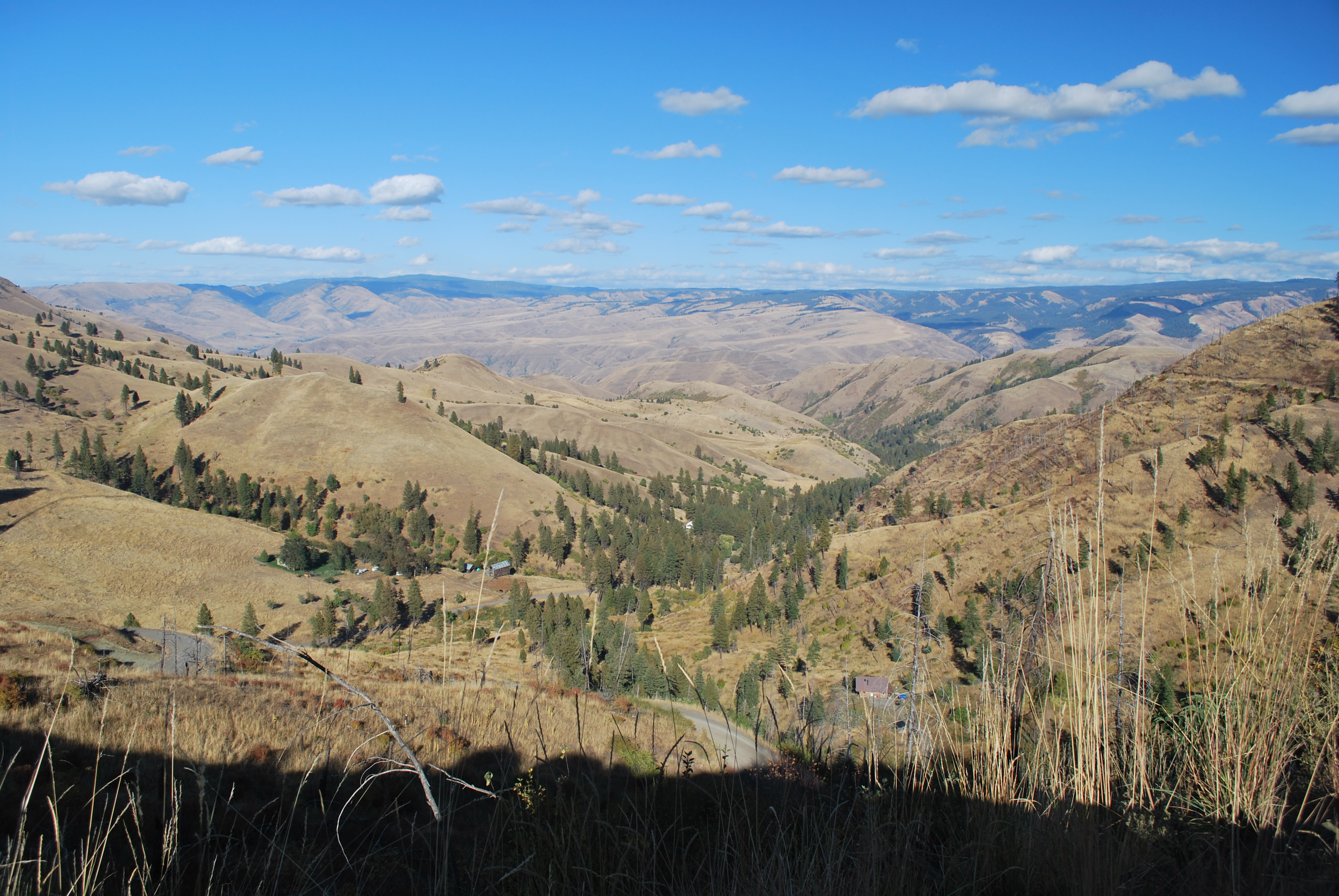
Pittsburg Saddle

Upper meadow

One Switchback of many on White Bird Hill - a steep grade on Hwy 95 Central Idaho just above the time line 120817-094126 C4Tc

Rafting Lower Salmon 20120722-133.jpg
Rafting Lower Salmon 20120722-104.jpg
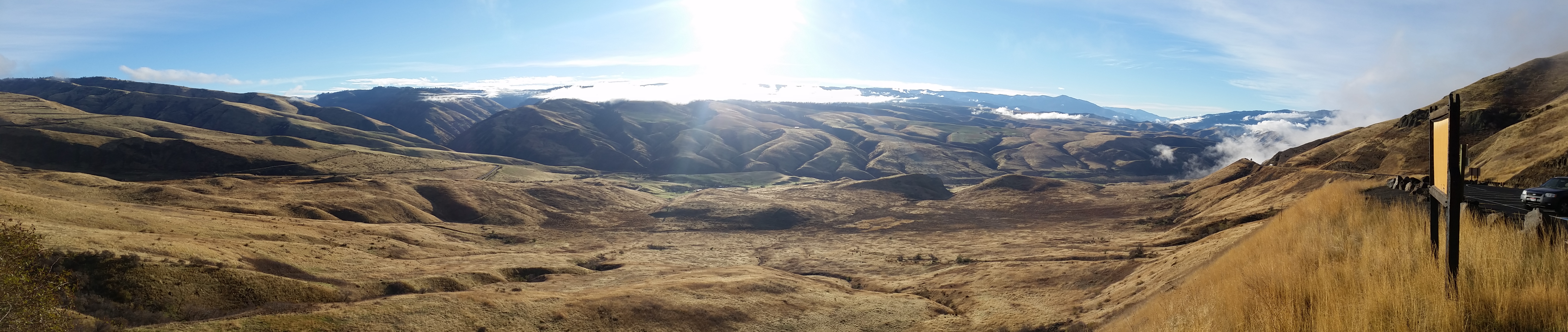
View from Deer Creek Road
Driving up to Canada.
Buckhorn Rd, White Bird, ID アメリカ合衆国の地図
別の場所を検索
近所の場所
Blue Grouse Rd, Idaho アメリカ合衆国ブルー・グラウス・ロード
77 Canyon View Rd, White Bird, ID アメリカ合衆国
Hammer Creek Rd, Idaho アメリカ合衆国ハマー・クリーク・ロード
Doumecq Rd, White Bird, ID アメリカ合衆国
Bear Ridge Rd, Cottonwood, ID アメリカ合衆国
アメリカ合衆国 〒 アイダホ州 ホワイト・バード
アメリカ合衆国 〒 アイダホ州 キャンフィールド
アメリカ合衆国 〒 アイダホ州 ホワイト・バード・ヒル
Harmony, White Bird, ID アメリカ合衆国
アメリカ合衆国 〒 アイダホ州 ジョゼフ
Woodys Way, White Bird, ID アメリカ合衆国
Old White Bird Hill Rd, Grangeville, ID アメリカ合衆国
NF-, Lucile, ID アメリカ合衆国ピッツバーグ・キャンプグランド
Twin Pines Ln, Grangeville, ID アメリカ合衆国
アメリカ合衆国 〒 アイダホ州 スネーク・リバー・キャニオン
アメリカ合衆国 〒 アイダホ州 ルシール
Seven U Ranch Rd, Lucile, ID アメリカ合衆国
20 Fish Hatchery Rd, Grangeville, ID アメリカ合衆国
アメリカ合衆国 〒 アイダホ州 グレーンジビル
Junction St, Cottonwood, ID アメリカ合衆国
最近の検索
- アメリカ合衆国 アラスカ州 レッド・ドッグ・マイン日の出日の入り時間
- Am bhf, Borken, ドイツアム・バーンホーフ日の出日の入り時間
- 4th St E, Sonoma, CA, USA日の出日の入り時間
- Oakland Ave, Williamsport, PA アメリカ合衆国日の出日の入り時間
- Via Roma, Pieranica CR, イタリアローマ通り日の出日の入り時間
- クロアチア 〒 ドゥブロブニク GradClock Tower of Dubrovnik日の出日の入り時間
- アルゼンチン チュブ州 トレリュー日の出日の入り時間
- Hartfords Bluff Cir, Mt Pleasant, SC アメリカ合衆国日の出日の入り時間
- 日本、熊本県熊本市北区日の出日の入り時間
- 中華人民共和国 福州市 平潭県 平潭島日の出日の入り時間