Bear Ridge Rd, Cottonwood, ID アメリカ合衆国日の出日の入り時間
Location: アメリカ合衆国 > アイダホ州 > アイダホ > アメリカ合衆国 〒 アイダホ州 コットンウッド >
時間帯:
America/Boise
現地時間:
2025-05-23 22:09:10
経度:
-116.3576661
緯度:
45.8064596
今日の日の出時刻:
06:03:52 AM
今日の日の入時刻:
09:20:50 PM
今日の日長:
15h 16m 58s
明日の日の出時刻:
06:03:03 AM
明日の日の入時刻:
09:21:51 PM
明日の日長:
15h 18m 48s
すべて表示する
| 日付 | 日出 | 日没 | 日長 |
|---|---|---|---|
| 2025年01月01日 | 08:26:30 AM | 05:12:45 PM | 8h 46m 15s |
| 2025年01月02日 | 08:26:27 AM | 05:13:44 PM | 8h 47m 17s |
| 2025年01月03日 | 08:26:21 AM | 05:14:44 PM | 8h 48m 23s |
| 2025年01月04日 | 08:26:12 AM | 05:15:47 PM | 8h 49m 35s |
| 2025年01月05日 | 08:26:00 AM | 05:16:51 PM | 8h 50m 51s |
| 2025年01月06日 | 08:25:46 AM | 05:17:57 PM | 8h 52m 11s |
| 2025年01月07日 | 08:25:29 AM | 05:19:04 PM | 8h 53m 35s |
| 2025年01月08日 | 08:25:09 AM | 05:20:14 PM | 8h 55m 5s |
| 2025年01月09日 | 08:24:47 AM | 05:21:24 PM | 8h 56m 37s |
| 2025年01月10日 | 08:24:22 AM | 05:22:36 PM | 8h 58m 14s |
| 2025年01月11日 | 08:23:54 AM | 05:23:50 PM | 8h 59m 56s |
| 2025年01月12日 | 08:23:24 AM | 05:25:05 PM | 9h 1m 41s |
| 2025年01月13日 | 08:22:52 AM | 05:26:21 PM | 9h 3m 29s |
| 2025年01月14日 | 08:22:17 AM | 05:27:38 PM | 9h 5m 21s |
| 2025年01月15日 | 08:21:39 AM | 05:28:56 PM | 9h 7m 17s |
| 2025年01月16日 | 08:21:00 AM | 05:30:15 PM | 9h 9m 15s |
| 2025年01月17日 | 08:20:17 AM | 05:31:36 PM | 9h 11m 19s |
| 2025年01月18日 | 08:19:33 AM | 05:32:57 PM | 9h 13m 24s |
| 2025年01月19日 | 08:18:45 AM | 05:34:19 PM | 9h 15m 34s |
| 2025年01月20日 | 08:17:56 AM | 05:35:42 PM | 9h 17m 46s |
| 2025年01月21日 | 08:17:05 AM | 05:37:06 PM | 9h 20m 1s |
| 2025年01月22日 | 08:16:11 AM | 05:38:30 PM | 9h 22m 19s |
| 2025年01月23日 | 08:15:15 AM | 05:39:55 PM | 9h 24m 40s |
| 2025年01月24日 | 08:14:16 AM | 05:41:20 PM | 9h 27m 4s |
| 2025年01月25日 | 08:13:16 AM | 05:42:46 PM | 9h 29m 30s |
| 2025年01月26日 | 08:12:14 AM | 05:44:13 PM | 9h 31m 59s |
| 2025年01月27日 | 08:11:09 AM | 05:45:40 PM | 9h 34m 31s |
| 2025年01月28日 | 08:10:03 AM | 05:47:07 PM | 9h 37m 4s |
| 2025年01月29日 | 08:08:55 AM | 05:48:35 PM | 9h 39m 40s |
| 2025年01月30日 | 08:07:45 AM | 05:50:02 PM | 9h 42m 17s |
| 2025年01月31日 | 08:06:32 AM | 05:51:31 PM | 9h 44m 59s |
| 2025年02月01日 | 08:05:19 AM | 05:52:59 PM | 9h 47m 40s |
| 2025年02月02日 | 08:04:03 AM | 05:54:27 PM | 9h 50m 24s |
| 2025年02月03日 | 08:02:45 AM | 05:55:56 PM | 9h 53m 11s |
| 2025年02月04日 | 08:01:26 AM | 05:57:24 PM | 9h 55m 58s |
| 2025年02月05日 | 08:00:06 AM | 05:58:53 PM | 9h 58m 47s |
| 2025年02月06日 | 07:58:43 AM | 06:00:22 PM | 10h 1m 39s |
| 2025年02月07日 | 07:57:19 AM | 06:01:50 PM | 10h 4m 31s |
| 2025年02月08日 | 07:55:54 AM | 06:03:19 PM | 10h 7m 25s |
| 2025年02月09日 | 07:54:27 AM | 06:04:47 PM | 10h 10m 20s |
| 2025年02月10日 | 07:52:59 AM | 06:06:16 PM | 10h 13m 17s |
| 2025年02月11日 | 07:51:29 AM | 06:07:44 PM | 10h 16m 15s |
| 2025年02月12日 | 07:49:58 AM | 06:09:12 PM | 10h 19m 14s |
| 2025年02月13日 | 07:48:25 AM | 06:10:40 PM | 10h 22m 15s |
| 2025年02月14日 | 07:46:52 AM | 06:12:08 PM | 10h 25m 16s |
| 2025年02月15日 | 07:45:17 AM | 06:13:35 PM | 10h 28m 18s |
| 2025年02月16日 | 07:43:40 AM | 06:15:03 PM | 10h 31m 23s |
| 2025年02月17日 | 07:42:03 AM | 06:16:30 PM | 10h 34m 27s |
| 2025年02月18日 | 07:40:25 AM | 06:17:57 PM | 10h 37m 32s |
| 2025年02月19日 | 07:38:45 AM | 06:19:23 PM | 10h 40m 38s |
| 2025年02月20日 | 07:37:05 AM | 06:20:50 PM | 10h 43m 45s |
| 2025年02月21日 | 07:35:23 AM | 06:22:16 PM | 10h 46m 53s |
| 2025年02月22日 | 07:33:41 AM | 06:23:42 PM | 10h 50m 1s |
| 2025年02月23日 | 07:31:57 AM | 06:25:08 PM | 10h 53m 11s |
| 2025年02月24日 | 07:30:13 AM | 06:26:33 PM | 10h 56m 20s |
| 2025年02月25日 | 07:28:28 AM | 06:27:58 PM | 10h 59m 30s |
| 2025年02月26日 | 07:26:42 AM | 06:29:23 PM | 11h 2m 41s |
| 2025年02月27日 | 07:24:55 AM | 06:30:47 PM | 11h 5m 52s |
| 2025年02月28日 | 07:23:08 AM | 06:32:11 PM | 11h 9m 3s |
| 2025年03月01日 | 07:21:19 AM | 06:33:35 PM | 11h 12m 16s |
| 2025年03月02日 | 07:19:31 AM | 06:34:59 PM | 11h 15m 28s |
| 2025年03月03日 | 07:17:41 AM | 06:36:22 PM | 11h 18m 41s |
| 2025年03月04日 | 07:15:51 AM | 06:37:46 PM | 11h 21m 55s |
| 2025年03月05日 | 07:14:00 AM | 06:39:08 PM | 11h 25m 8s |
| 2025年03月06日 | 07:12:09 AM | 06:40:31 PM | 11h 28m 22s |
| 2025年03月07日 | 07:10:17 AM | 06:41:53 PM | 11h 31m 36s |
| 2025年03月08日 | 07:08:25 AM | 06:43:15 PM | 11h 34m 50s |
| 2025年03月09日 | 08:06:37 AM | 07:44:34 PM | 11h 37m 57s |
| 2025年03月10日 | 08:04:44 AM | 07:45:55 PM | 11h 41m 11s |
| 2025年03月11日 | 08:02:51 AM | 07:47:17 PM | 11h 44m 26s |
| 2025年03月12日 | 08:00:57 AM | 07:48:38 PM | 11h 47m 41s |
| 2025年03月13日 | 07:59:03 AM | 07:49:59 PM | 11h 50m 56s |
| 2025年03月14日 | 07:57:08 AM | 07:51:20 PM | 11h 54m 12s |
| 2025年03月15日 | 07:55:14 AM | 07:52:40 PM | 11h 57m 26s |
| 2025年03月16日 | 07:53:19 AM | 07:54:01 PM | 12h 0m 42s |
| 2025年03月17日 | 07:51:24 AM | 07:55:21 PM | 12h 3m 57s |
| 2025年03月18日 | 07:49:29 AM | 07:56:41 PM | 12h 7m 12s |
| 2025年03月19日 | 07:47:34 AM | 07:58:01 PM | 12h 10m 27s |
| 2025年03月20日 | 07:45:38 AM | 07:59:20 PM | 12h 13m 42s |
| 2025年03月21日 | 07:43:43 AM | 08:00:40 PM | 12h 16m 57s |
| 2025年03月22日 | 07:41:47 AM | 08:01:59 PM | 12h 20m 12s |
| 2025年03月23日 | 07:39:52 AM | 08:03:19 PM | 12h 23m 27s |
| 2025年03月24日 | 07:37:57 AM | 08:04:38 PM | 12h 26m 41s |
| 2025年03月25日 | 07:36:01 AM | 08:05:57 PM | 12h 29m 56s |
| 2025年03月26日 | 07:34:06 AM | 08:07:16 PM | 12h 33m 10s |
| 2025年03月27日 | 07:32:11 AM | 08:08:35 PM | 12h 36m 24s |
| 2025年03月28日 | 07:30:16 AM | 08:09:54 PM | 12h 39m 38s |
| 2025年03月29日 | 07:28:21 AM | 08:11:13 PM | 12h 42m 52s |
| 2025年03月30日 | 07:26:27 AM | 08:12:31 PM | 12h 46m 4s |
| 2025年03月31日 | 07:24:32 AM | 08:13:50 PM | 12h 49m 18s |
| 2025年04月01日 | 07:22:38 AM | 08:15:09 PM | 12h 52m 31s |
| 2025年04月02日 | 07:20:45 AM | 08:16:27 PM | 12h 55m 42s |
| 2025年04月03日 | 07:18:51 AM | 08:17:46 PM | 12h 58m 55s |
| 2025年04月04日 | 07:16:58 AM | 08:19:05 PM | 13h 2m 7s |
| 2025年04月05日 | 07:15:06 AM | 08:20:23 PM | 13h 5m 17s |
| 2025年04月06日 | 07:13:14 AM | 08:21:42 PM | 13h 8m 28s |
| 2025年04月07日 | 07:11:22 AM | 08:23:00 PM | 13h 11m 38s |
| 2025年04月08日 | 07:09:31 AM | 08:24:19 PM | 13h 14m 48s |
| 2025年04月09日 | 07:07:40 AM | 08:25:37 PM | 13h 17m 57s |
| 2025年04月10日 | 07:05:50 AM | 08:26:56 PM | 13h 21m 6s |
| 2025年04月11日 | 07:04:01 AM | 08:28:14 PM | 13h 24m 13s |
| 2025年04月12日 | 07:02:12 AM | 08:29:33 PM | 13h 27m 21s |
| 2025年04月13日 | 07:00:24 AM | 08:30:51 PM | 13h 30m 27s |
| 2025年04月14日 | 06:58:36 AM | 08:32:10 PM | 13h 33m 34s |
| 2025年04月15日 | 06:56:49 AM | 08:33:28 PM | 13h 36m 39s |
| 2025年04月16日 | 06:55:04 AM | 08:34:47 PM | 13h 39m 43s |
| 2025年04月17日 | 06:53:18 AM | 08:36:05 PM | 13h 42m 47s |
| 2025年04月18日 | 06:51:34 AM | 08:37:23 PM | 13h 45m 49s |
| 2025年04月19日 | 06:49:51 AM | 08:38:42 PM | 13h 48m 51s |
| 2025年04月20日 | 06:48:08 AM | 08:40:00 PM | 13h 51m 52s |
| 2025年04月21日 | 06:46:27 AM | 08:41:18 PM | 13h 54m 51s |
| 2025年04月22日 | 06:44:46 AM | 08:42:36 PM | 13h 57m 50s |
| 2025年04月23日 | 06:43:06 AM | 08:43:55 PM | 14h 0m 49s |
| 2025年04月24日 | 06:41:28 AM | 08:45:13 PM | 14h 3m 45s |
| 2025年04月25日 | 06:39:50 AM | 08:46:31 PM | 14h 6m 41s |
| 2025年04月26日 | 06:38:14 AM | 08:47:48 PM | 14h 9m 34s |
| 2025年04月27日 | 06:36:39 AM | 08:49:06 PM | 14h 12m 27s |
| 2025年04月28日 | 06:35:05 AM | 08:50:23 PM | 14h 15m 18s |
| 2025年04月29日 | 06:33:32 AM | 08:51:41 PM | 14h 18m 9s |
| 2025年04月30日 | 06:32:01 AM | 08:52:58 PM | 14h 20m 57s |
| 2025年05月01日 | 06:30:31 AM | 08:54:15 PM | 14h 23m 44s |
| 2025年05月02日 | 06:29:02 AM | 08:55:31 PM | 14h 26m 29s |
| 2025年05月03日 | 06:27:35 AM | 08:56:48 PM | 14h 29m 13s |
| 2025年05月04日 | 06:26:08 AM | 08:58:04 PM | 14h 31m 56s |
| 2025年05月05日 | 06:24:44 AM | 08:59:19 PM | 14h 34m 35s |
| 2025年05月06日 | 06:23:21 AM | 09:00:35 PM | 14h 37m 14s |
| 2025年05月07日 | 06:21:59 AM | 09:01:50 PM | 14h 39m 51s |
| 2025年05月08日 | 06:20:39 AM | 09:03:04 PM | 14h 42m 25s |
| 2025年05月09日 | 06:19:21 AM | 09:04:18 PM | 14h 44m 57s |
| 2025年05月10日 | 06:18:04 AM | 09:05:32 PM | 14h 47m 28s |
| 2025年05月11日 | 06:16:49 AM | 09:06:45 PM | 14h 49m 56s |
| 2025年05月12日 | 06:15:36 AM | 09:07:57 PM | 14h 52m 21s |
| 2025年05月13日 | 06:14:25 AM | 09:09:09 PM | 14h 54m 44s |
| 2025年05月14日 | 06:13:15 AM | 09:10:20 PM | 14h 57m 5s |
| 2025年05月15日 | 06:12:07 AM | 09:11:31 PM | 14h 59m 24s |
| 2025年05月16日 | 06:11:01 AM | 09:12:41 PM | 15h 1m 40s |
| 2025年05月17日 | 06:09:57 AM | 09:13:49 PM | 15h 3m 52s |
| 2025年05月18日 | 06:08:54 AM | 09:14:58 PM | 15h 6m 4s |
| 2025年05月19日 | 06:07:54 AM | 09:16:05 PM | 15h 8m 11s |
| 2025年05月20日 | 06:06:56 AM | 09:17:11 PM | 15h 10m 15s |
| 2025年05月21日 | 06:06:00 AM | 09:18:16 PM | 15h 12m 16s |
| 2025年05月22日 | 06:05:06 AM | 09:19:21 PM | 15h 14m 15s |
| 2025年05月23日 | 06:04:14 AM | 09:20:24 PM | 15h 16m 10s |
| 2025年05月24日 | 06:03:24 AM | 09:21:26 PM | 15h 18m 2s |
| 2025年05月25日 | 06:02:36 AM | 09:22:27 PM | 15h 19m 51s |
| 2025年05月26日 | 06:01:50 AM | 09:23:26 PM | 15h 21m 36s |
| 2025年05月27日 | 06:01:07 AM | 09:24:25 PM | 15h 23m 18s |
| 2025年05月28日 | 06:00:26 AM | 09:25:22 PM | 15h 24m 56s |
| 2025年05月29日 | 05:59:47 AM | 09:26:17 PM | 15h 26m 30s |
| 2025年05月30日 | 05:59:10 AM | 09:27:12 PM | 15h 28m 2s |
| 2025年05月31日 | 05:58:36 AM | 09:28:04 PM | 15h 29m 28s |
| 2025年06月01日 | 05:58:04 AM | 09:28:56 PM | 15h 30m 52s |
| 2025年06月02日 | 05:57:34 AM | 09:29:45 PM | 15h 32m 11s |
| 2025年06月03日 | 05:57:07 AM | 09:30:33 PM | 15h 33m 26s |
| 2025年06月04日 | 05:56:42 AM | 09:31:19 PM | 15h 34m 37s |
| 2025年06月05日 | 05:56:19 AM | 09:32:04 PM | 15h 35m 45s |
| 2025年06月06日 | 05:55:59 AM | 09:32:46 PM | 15h 36m 47s |
| 2025年06月07日 | 05:55:42 AM | 09:33:27 PM | 15h 37m 45s |
| 2025年06月08日 | 05:55:26 AM | 09:34:06 PM | 15h 38m 40s |
| 2025年06月09日 | 05:55:13 AM | 09:34:43 PM | 15h 39m 30s |
| 2025年06月10日 | 05:55:03 AM | 09:35:18 PM | 15h 40m 15s |
| 2025年06月11日 | 05:54:54 AM | 09:35:51 PM | 15h 40m 57s |
| 2025年06月12日 | 05:54:49 AM | 09:36:22 PM | 15h 41m 33s |
| 2025年06月13日 | 05:54:45 AM | 09:36:51 PM | 15h 42m 6s |
| 2025年06月14日 | 05:54:44 AM | 09:37:17 PM | 15h 42m 33s |
| 2025年06月15日 | 05:54:46 AM | 09:37:42 PM | 15h 42m 56s |
| 2025年06月16日 | 05:54:49 AM | 09:38:04 PM | 15h 43m 15s |
| 2025年06月17日 | 05:54:55 AM | 09:38:24 PM | 15h 43m 29s |
| 2025年06月18日 | 05:55:04 AM | 09:38:42 PM | 15h 43m 38s |
| 2025年06月19日 | 05:55:15 AM | 09:38:57 PM | 15h 43m 42s |
| 2025年06月20日 | 05:55:28 AM | 09:39:10 PM | 15h 43m 42s |
| 2025年06月21日 | 05:55:43 AM | 09:39:21 PM | 15h 43m 38s |
| 2025年06月22日 | 05:56:00 AM | 09:39:30 PM | 15h 43m 30s |
| 2025年06月23日 | 05:56:20 AM | 09:39:36 PM | 15h 43m 16s |
| 2025年06月24日 | 05:56:42 AM | 09:39:39 PM | 15h 42m 57s |
| 2025年06月25日 | 05:57:06 AM | 09:39:41 PM | 15h 42m 35s |
| 2025年06月26日 | 05:57:32 AM | 09:39:39 PM | 15h 42m 7s |
| 2025年06月27日 | 05:58:00 AM | 09:39:36 PM | 15h 41m 36s |
| 2025年06月28日 | 05:58:31 AM | 09:39:30 PM | 15h 40m 59s |
| 2025年06月29日 | 05:59:03 AM | 09:39:21 PM | 15h 40m 18s |
| 2025年06月30日 | 05:59:37 AM | 09:39:10 PM | 15h 39m 33s |
| 2025年07月01日 | 06:00:13 AM | 09:38:57 PM | 15h 38m 44s |
| 2025年07月02日 | 06:00:51 AM | 09:38:41 PM | 15h 37m 50s |
| 2025年07月03日 | 06:01:31 AM | 09:38:22 PM | 15h 36m 51s |
| 2025年07月04日 | 06:02:12 AM | 09:38:02 PM | 15h 35m 50s |
| 2025年07月05日 | 06:02:55 AM | 09:37:38 PM | 15h 34m 43s |
| 2025年07月06日 | 06:03:40 AM | 09:37:13 PM | 15h 33m 33s |
| 2025年07月07日 | 06:04:27 AM | 09:36:45 PM | 15h 32m 18s |
| 2025年07月08日 | 06:05:15 AM | 09:36:14 PM | 15h 30m 59s |
| 2025年07月09日 | 06:06:04 AM | 09:35:42 PM | 15h 29m 38s |
| 2025年07月10日 | 06:06:56 AM | 09:35:06 PM | 15h 28m 10s |
| 2025年07月11日 | 06:07:48 AM | 09:34:29 PM | 15h 26m 41s |
| 2025年07月12日 | 06:08:42 AM | 09:33:49 PM | 15h 25m 7s |
| 2025年07月13日 | 06:09:37 AM | 09:33:07 PM | 15h 23m 30s |
| 2025年07月14日 | 06:10:33 AM | 09:32:23 PM | 15h 21m 50s |
| 2025年07月15日 | 06:11:31 AM | 09:31:37 PM | 15h 20m 6s |
| 2025年07月16日 | 06:12:30 AM | 09:30:48 PM | 15h 18m 18s |
| 2025年07月17日 | 06:13:30 AM | 09:29:57 PM | 15h 16m 27s |
| 2025年07月18日 | 06:14:31 AM | 09:29:04 PM | 15h 14m 33s |
| 2025年07月19日 | 06:15:33 AM | 09:28:09 PM | 15h 12m 36s |
| 2025年07月20日 | 06:16:35 AM | 09:27:12 PM | 15h 10m 37s |
| 2025年07月21日 | 06:17:39 AM | 09:26:12 PM | 15h 8m 33s |
| 2025年07月22日 | 06:18:44 AM | 09:25:11 PM | 15h 6m 27s |
| 2025年07月23日 | 06:19:49 AM | 09:24:08 PM | 15h 4m 19s |
| 2025年07月24日 | 06:20:56 AM | 09:23:03 PM | 15h 2m 7s |
| 2025年07月25日 | 06:22:03 AM | 09:21:55 PM | 14h 59m 52s |
| 2025年07月26日 | 06:23:10 AM | 09:20:46 PM | 14h 57m 36s |
| 2025年07月27日 | 06:24:18 AM | 09:19:36 PM | 14h 55m 18s |
| 2025年07月28日 | 06:25:27 AM | 09:18:23 PM | 14h 52m 56s |
| 2025年07月29日 | 06:26:37 AM | 09:17:09 PM | 14h 50m 32s |
| 2025年07月30日 | 06:27:47 AM | 09:15:52 PM | 14h 48m 5s |
| 2025年07月31日 | 06:28:57 AM | 09:14:35 PM | 14h 45m 38s |
| 2025年08月01日 | 06:30:08 AM | 09:13:15 PM | 14h 43m 7s |
| 2025年08月02日 | 06:31:19 AM | 09:11:54 PM | 14h 40m 35s |
| 2025年08月03日 | 06:32:31 AM | 09:10:31 PM | 14h 38m 0s |
| 2025年08月04日 | 06:33:43 AM | 09:09:07 PM | 14h 35m 24s |
| 2025年08月05日 | 06:34:55 AM | 09:07:41 PM | 14h 32m 46s |
| 2025年08月06日 | 06:36:07 AM | 09:06:14 PM | 14h 30m 7s |
| 2025年08月07日 | 06:37:20 AM | 09:04:46 PM | 14h 27m 26s |
| 2025年08月08日 | 06:38:33 AM | 09:03:16 PM | 14h 24m 43s |
| 2025年08月09日 | 06:39:46 AM | 09:01:44 PM | 14h 21m 58s |
| 2025年08月10日 | 06:41:00 AM | 09:00:12 PM | 14h 19m 12s |
| 2025年08月11日 | 06:42:13 AM | 08:58:38 PM | 14h 16m 25s |
| 2025年08月12日 | 06:43:27 AM | 08:57:02 PM | 14h 13m 35s |
| 2025年08月13日 | 06:44:41 AM | 08:55:26 PM | 14h 10m 45s |
| 2025年08月14日 | 06:45:54 AM | 08:53:48 PM | 14h 7m 54s |
| 2025年08月15日 | 06:47:08 AM | 08:52:10 PM | 14h 5m 2s |
| 2025年08月16日 | 06:48:22 AM | 08:50:30 PM | 14h 2m 8s |
| 2025年08月17日 | 06:49:36 AM | 08:48:49 PM | 13h 59m 13s |
| 2025年08月18日 | 06:50:51 AM | 08:47:07 PM | 13h 56m 16s |
| 2025年08月19日 | 06:52:05 AM | 08:45:24 PM | 13h 53m 19s |
| 2025年08月20日 | 06:53:19 AM | 08:43:41 PM | 13h 50m 22s |
| 2025年08月21日 | 06:54:33 AM | 08:41:56 PM | 13h 47m 23s |
| 2025年08月22日 | 06:55:47 AM | 08:40:10 PM | 13h 44m 23s |
| 2025年08月23日 | 06:57:01 AM | 08:38:24 PM | 13h 41m 23s |
| 2025年08月24日 | 06:58:15 AM | 08:36:36 PM | 13h 38m 21s |
| 2025年08月25日 | 06:59:30 AM | 08:34:48 PM | 13h 35m 18s |
| 2025年08月26日 | 07:00:44 AM | 08:33:00 PM | 13h 32m 16s |
| 2025年08月27日 | 07:01:58 AM | 08:31:10 PM | 13h 29m 12s |
| 2025年08月28日 | 07:03:12 AM | 08:29:20 PM | 13h 26m 8s |
| 2025年08月29日 | 07:04:26 AM | 08:27:29 PM | 13h 23m 3s |
| 2025年08月30日 | 07:05:40 AM | 08:25:37 PM | 13h 19m 57s |
| 2025年08月31日 | 07:06:54 AM | 08:23:45 PM | 13h 16m 51s |
| 2025年09月01日 | 07:08:08 AM | 08:21:53 PM | 13h 13m 45s |
| 2025年09月02日 | 07:09:22 AM | 08:20:00 PM | 13h 10m 38s |
| 2025年09月03日 | 07:10:36 AM | 08:18:06 PM | 13h 7m 30s |
| 2025年09月04日 | 07:11:49 AM | 08:16:12 PM | 13h 4m 23s |
| 2025年09月05日 | 07:13:03 AM | 08:14:17 PM | 13h 1m 14s |
| 2025年09月06日 | 07:14:17 AM | 08:12:22 PM | 12h 58m 5s |
| 2025年09月07日 | 07:15:31 AM | 08:10:27 PM | 12h 54m 56s |
| 2025年09月08日 | 07:16:45 AM | 08:08:31 PM | 12h 51m 46s |
| 2025年09月09日 | 07:17:59 AM | 08:06:36 PM | 12h 48m 37s |
| 2025年09月10日 | 07:19:13 AM | 08:04:39 PM | 12h 45m 26s |
| 2025年09月11日 | 07:20:27 AM | 08:02:43 PM | 12h 42m 16s |
| 2025年09月12日 | 07:21:41 AM | 08:00:46 PM | 12h 39m 5s |
| 2025年09月13日 | 07:22:55 AM | 07:58:49 PM | 12h 35m 54s |
| 2025年09月14日 | 07:24:09 AM | 07:56:52 PM | 12h 32m 43s |
| 2025年09月15日 | 07:25:23 AM | 07:54:55 PM | 12h 29m 32s |
| 2025年09月16日 | 07:26:38 AM | 07:52:58 PM | 12h 26m 20s |
| 2025年09月17日 | 07:27:52 AM | 07:51:01 PM | 12h 23m 9s |
| 2025年09月18日 | 07:29:07 AM | 07:49:04 PM | 12h 19m 57s |
| 2025年09月19日 | 07:30:21 AM | 07:47:06 PM | 12h 16m 45s |
| 2025年09月20日 | 07:31:36 AM | 07:45:09 PM | 12h 13m 33s |
| 2025年09月21日 | 07:32:51 AM | 07:43:12 PM | 12h 10m 21s |
| 2025年09月22日 | 07:34:06 AM | 07:41:15 PM | 12h 7m 9s |
| 2025年09月23日 | 07:35:21 AM | 07:39:18 PM | 12h 3m 57s |
| 2025年09月24日 | 07:36:36 AM | 07:37:21 PM | 12h 0m 45s |
| 2025年09月25日 | 07:37:52 AM | 07:35:24 PM | 11h 57m 32s |
| 2025年09月26日 | 07:39:07 AM | 07:33:28 PM | 11h 54m 21s |
| 2025年09月27日 | 07:40:23 AM | 07:31:31 PM | 11h 51m 8s |
| 2025年09月28日 | 07:41:39 AM | 07:29:35 PM | 11h 47m 56s |
| 2025年09月29日 | 07:42:56 AM | 07:27:40 PM | 11h 44m 44s |
| 2025年09月30日 | 07:44:12 AM | 07:25:44 PM | 11h 41m 32s |
| 2025年10月01日 | 07:45:29 AM | 07:23:49 PM | 11h 38m 20s |
| 2025年10月02日 | 07:46:46 AM | 07:21:55 PM | 11h 35m 9s |
| 2025年10月03日 | 07:48:03 AM | 07:20:01 PM | 11h 31m 58s |
| 2025年10月04日 | 07:49:21 AM | 07:18:07 PM | 11h 28m 46s |
| 2025年10月05日 | 07:50:39 AM | 07:16:14 PM | 11h 25m 35s |
| 2025年10月06日 | 07:51:57 AM | 07:14:21 PM | 11h 22m 24s |
| 2025年10月07日 | 07:53:15 AM | 07:12:29 PM | 11h 19m 14s |
| 2025年10月08日 | 07:54:34 AM | 07:10:38 PM | 11h 16m 4s |
| 2025年10月09日 | 07:55:53 AM | 07:08:47 PM | 11h 12m 54s |
| 2025年10月10日 | 07:57:12 AM | 07:06:57 PM | 11h 9m 45s |
| 2025年10月11日 | 07:58:31 AM | 07:05:07 PM | 11h 6m 36s |
| 2025年10月12日 | 07:59:51 AM | 07:03:18 PM | 11h 3m 27s |
| 2025年10月13日 | 08:01:11 AM | 07:01:30 PM | 11h 0m 19s |
| 2025年10月14日 | 08:02:32 AM | 06:59:43 PM | 10h 57m 11s |
| 2025年10月15日 | 08:03:52 AM | 06:57:57 PM | 10h 54m 5s |
| 2025年10月16日 | 08:05:14 AM | 06:56:11 PM | 10h 50m 57s |
| 2025年10月17日 | 08:06:35 AM | 06:54:27 PM | 10h 47m 52s |
| 2025年10月18日 | 08:07:57 AM | 06:52:43 PM | 10h 44m 46s |
| 2025年10月19日 | 08:09:18 AM | 06:51:00 PM | 10h 41m 42s |
| 2025年10月20日 | 08:10:41 AM | 06:49:18 PM | 10h 38m 37s |
| 2025年10月21日 | 08:12:03 AM | 06:47:38 PM | 10h 35m 35s |
| 2025年10月22日 | 08:13:26 AM | 06:45:58 PM | 10h 32m 32s |
| 2025年10月23日 | 08:14:49 AM | 06:44:20 PM | 10h 29m 31s |
| 2025年10月24日 | 08:16:12 AM | 06:42:43 PM | 10h 26m 31s |
| 2025年10月25日 | 08:17:36 AM | 06:41:07 PM | 10h 23m 31s |
| 2025年10月26日 | 08:19:00 AM | 06:39:32 PM | 10h 20m 32s |
| 2025年10月27日 | 08:20:24 AM | 06:37:58 PM | 10h 17m 34s |
| 2025年10月28日 | 08:21:48 AM | 06:36:26 PM | 10h 14m 38s |
| 2025年10月29日 | 08:23:12 AM | 06:34:55 PM | 10h 11m 43s |
| 2025年10月30日 | 08:24:37 AM | 06:33:26 PM | 10h 8m 49s |
| 2025年10月31日 | 08:26:02 AM | 06:31:58 PM | 10h 5m 56s |
| 2025年11月01日 | 08:27:26 AM | 06:30:31 PM | 10h 3m 5s |
| 2025年11月02日 | 07:28:55 AM | 05:29:03 PM | 10h 0m 8s |
| 2025年11月03日 | 07:30:20 AM | 05:27:40 PM | 9h 57m 20s |
| 2025年11月04日 | 07:31:45 AM | 05:26:18 PM | 9h 54m 33s |
| 2025年11月05日 | 07:33:10 AM | 05:24:58 PM | 9h 51m 48s |
| 2025年11月06日 | 07:34:35 AM | 05:23:40 PM | 9h 49m 5s |
| 2025年11月07日 | 07:36:00 AM | 05:22:23 PM | 9h 46m 23s |
| 2025年11月08日 | 07:37:24 AM | 05:21:08 PM | 9h 43m 44s |
| 2025年11月09日 | 07:38:49 AM | 05:19:56 PM | 9h 41m 7s |
| 2025年11月10日 | 07:40:13 AM | 05:18:44 PM | 9h 38m 31s |
| 2025年11月11日 | 07:41:38 AM | 05:17:35 PM | 9h 35m 57s |
| 2025年11月12日 | 07:43:02 AM | 05:16:28 PM | 9h 33m 26s |
| 2025年11月13日 | 07:44:25 AM | 05:15:23 PM | 9h 30m 58s |
| 2025年11月14日 | 07:45:49 AM | 05:14:20 PM | 9h 28m 31s |
| 2025年11月15日 | 07:47:12 AM | 05:13:19 PM | 9h 26m 7s |
| 2025年11月16日 | 07:48:34 AM | 05:12:20 PM | 9h 23m 46s |
| 2025年11月17日 | 07:49:56 AM | 05:11:23 PM | 9h 21m 27s |
| 2025年11月18日 | 07:51:18 AM | 05:10:29 PM | 9h 19m 11s |
| 2025年11月19日 | 07:52:38 AM | 05:09:36 PM | 9h 16m 58s |
| 2025年11月20日 | 07:53:58 AM | 05:08:46 PM | 9h 14m 48s |
| 2025年11月21日 | 07:55:18 AM | 05:07:59 PM | 9h 12m 41s |
| 2025年11月22日 | 07:56:36 AM | 05:07:13 PM | 9h 10m 37s |
| 2025年11月23日 | 07:57:54 AM | 05:06:30 PM | 9h 8m 36s |
| 2025年11月24日 | 07:59:11 AM | 05:05:50 PM | 9h 6m 39s |
| 2025年11月25日 | 08:00:27 AM | 05:05:12 PM | 9h 4m 45s |
| 2025年11月26日 | 08:01:42 AM | 05:04:36 PM | 9h 2m 54s |
| 2025年11月27日 | 08:02:55 AM | 05:04:03 PM | 9h 1m 8s |
| 2025年11月28日 | 08:04:08 AM | 05:03:33 PM | 8h 59m 25s |
| 2025年11月29日 | 08:05:19 AM | 05:03:05 PM | 8h 57m 46s |
| 2025年11月30日 | 08:06:29 AM | 05:02:40 PM | 8h 56m 11s |
| 2025年12月01日 | 08:07:38 AM | 05:02:17 PM | 8h 54m 39s |
| 2025年12月02日 | 08:08:45 AM | 05:01:57 PM | 8h 53m 12s |
| 2025年12月03日 | 08:09:51 AM | 05:01:40 PM | 8h 51m 49s |
| 2025年12月04日 | 08:10:55 AM | 05:01:25 PM | 8h 50m 30s |
| 2025年12月05日 | 08:11:58 AM | 05:01:14 PM | 8h 49m 16s |
| 2025年12月06日 | 08:12:58 AM | 05:01:04 PM | 8h 48m 6s |
| 2025年12月07日 | 08:13:58 AM | 05:00:58 PM | 8h 47m 0s |
| 2025年12月08日 | 08:14:55 AM | 05:00:54 PM | 8h 45m 59s |
| 2025年12月09日 | 08:15:50 AM | 05:00:53 PM | 8h 45m 3s |
| 2025年12月10日 | 08:16:44 AM | 05:00:55 PM | 8h 44m 11s |
| 2025年12月11日 | 08:17:35 AM | 05:00:59 PM | 8h 43m 24s |
| 2025年12月12日 | 08:18:24 AM | 05:01:07 PM | 8h 42m 43s |
| 2025年12月13日 | 08:19:12 AM | 05:01:17 PM | 8h 42m 5s |
| 2025年12月14日 | 08:19:57 AM | 05:01:29 PM | 8h 41m 32s |
| 2025年12月15日 | 08:20:40 AM | 05:01:45 PM | 8h 41m 5s |
| 2025年12月16日 | 08:21:20 AM | 05:02:03 PM | 8h 40m 43s |
| 2025年12月17日 | 08:21:59 AM | 05:02:23 PM | 8h 40m 24s |
| 2025年12月18日 | 08:22:34 AM | 05:02:47 PM | 8h 40m 13s |
| 2025年12月19日 | 08:23:08 AM | 05:03:13 PM | 8h 40m 5s |
| 2025年12月20日 | 08:23:39 AM | 05:03:41 PM | 8h 40m 2s |
| 2025年12月21日 | 08:24:08 AM | 05:04:12 PM | 8h 40m 4s |
| 2025年12月22日 | 08:24:34 AM | 05:04:46 PM | 8h 40m 12s |
| 2025年12月23日 | 08:24:57 AM | 05:05:22 PM | 8h 40m 25s |
| 2025年12月24日 | 08:25:18 AM | 05:06:00 PM | 8h 40m 42s |
| 2025年12月25日 | 08:25:37 AM | 05:06:41 PM | 8h 41m 4s |
| 2025年12月26日 | 08:25:52 AM | 05:07:25 PM | 8h 41m 33s |
| 2025年12月27日 | 08:26:05 AM | 05:08:10 PM | 8h 42m 5s |
| 2025年12月28日 | 08:26:16 AM | 05:08:58 PM | 8h 42m 42s |
| 2025年12月29日 | 08:26:24 AM | 05:09:48 PM | 8h 43m 24s |
| 2025年12月30日 | 08:26:29 AM | 05:10:40 PM | 8h 44m 11s |
| 2025年12月31日 | 08:26:31 AM | 05:11:34 PM | 8h 45m 3s |
写真

Beyond earlier limits

Orange sunseting Snake Rio

Sunrise at Cindy & Jay's

Whitebird-DSC_0293-WM

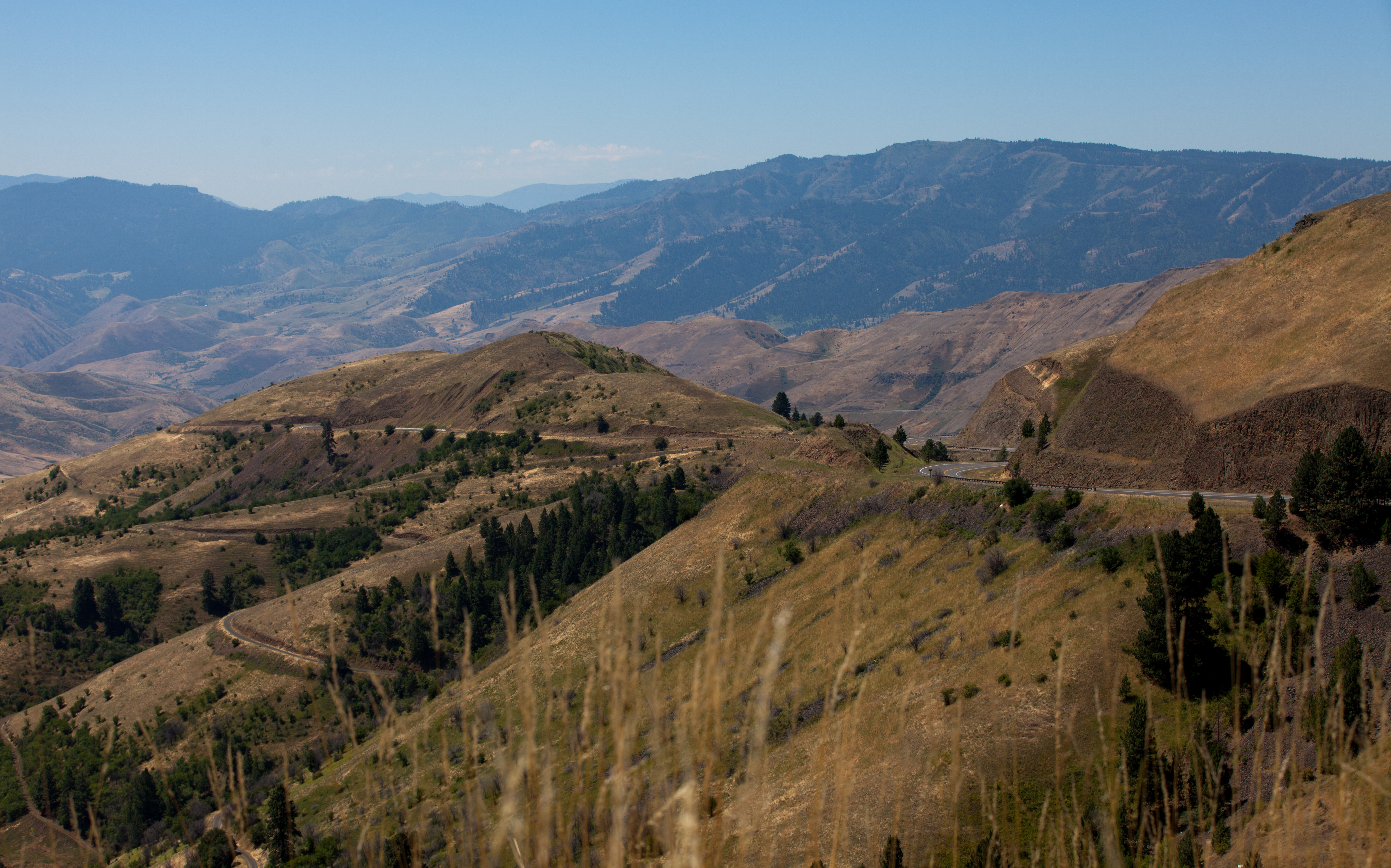
One Switchback of many on White Bird Hill - a steep grade on Hwy 95 Central Idaho just above the time line 120817-094126 C4Tc

Nez Perce National Historical Park

Nez Perce National Historical Park

Rafting Lower Salmon 20120722-104.jpg
Rafting Lower Salmon 20120722-090.jpg

Rafting Lower Salmon 20120722-146.jpg

Rafting Lower Salmon 20120722-133.jpg
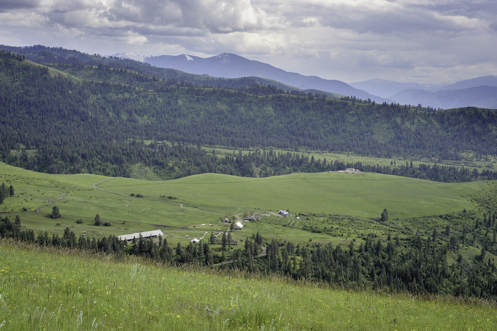
Upper meadow

Rafting Lower Salmon 20120722-105.jpg

Driving up to Canada.
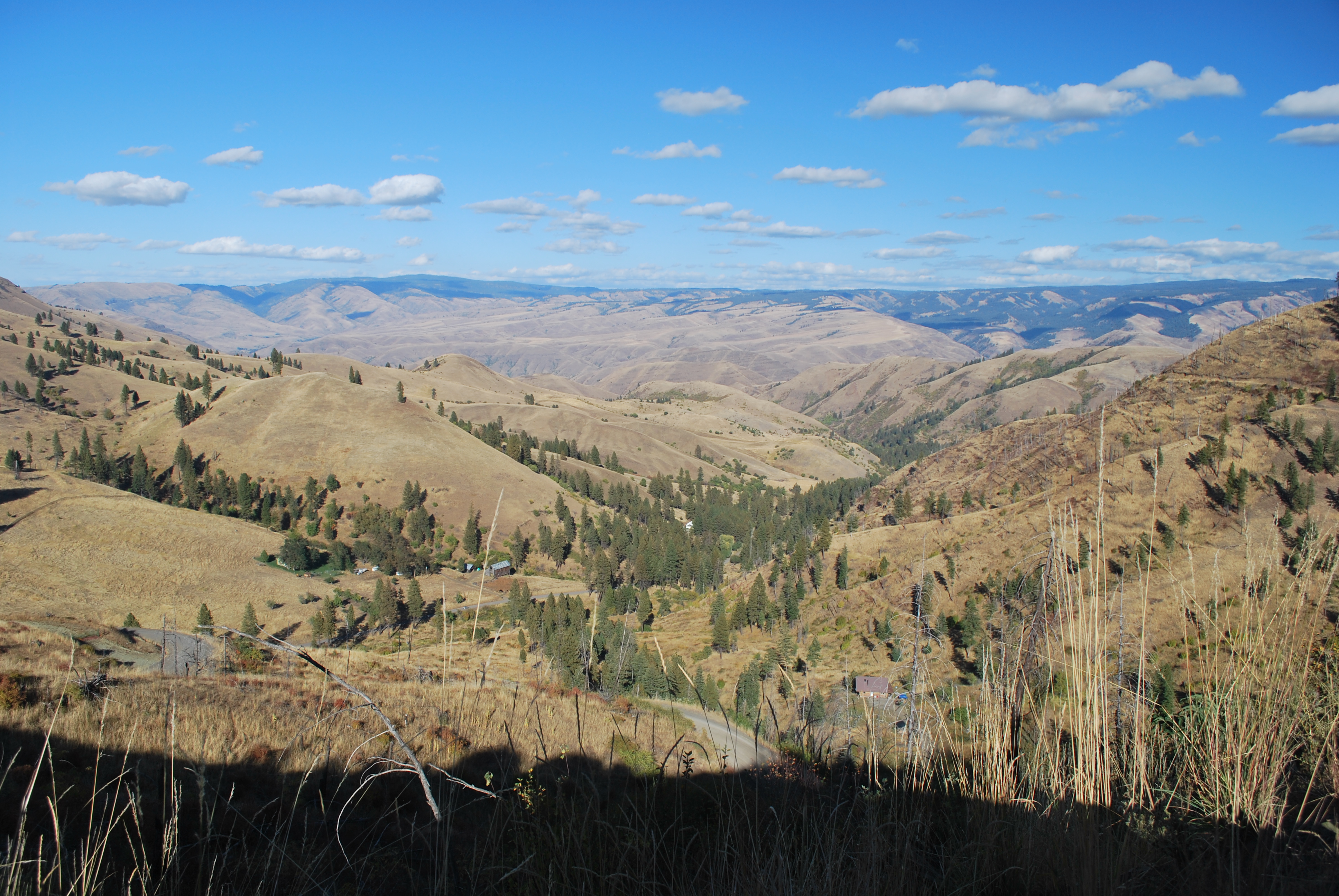
View from Deer Creek Road
Bear Ridge Rd, Cottonwood, ID アメリカ合衆国の地図
別の場所を検索
近所の場所
Doumecq Rd, White Bird, ID アメリカ合衆国
アメリカ合衆国 〒 アイダホ州 キャンフィールド
77 Canyon View Rd, White Bird, ID アメリカ合衆国
Blue Grouse Rd, Idaho アメリカ合衆国ブルー・グラウス・ロード
Buckhorn Rd, White Bird, ID アメリカ合衆国
Hammer Creek Rd, Idaho アメリカ合衆国ハマー・クリーク・ロード
アメリカ合衆国 〒 アイダホ州 ホワイト・バード
アメリカ合衆国 〒 アイダホ州 ホワイト・バード・ヒル
アメリカ合衆国 〒 アイダホ州 ジョゼフ
Old White Bird Hill Rd, Grangeville, ID アメリカ合衆国
Harmony, White Bird, ID アメリカ合衆国
Woodys Way, White Bird, ID アメリカ合衆国
NF-, Lucile, ID アメリカ合衆国ピッツバーグ・キャンプグランド
Twin Pines Ln, Grangeville, ID アメリカ合衆国
20 Fish Hatchery Rd, Grangeville, ID アメリカ合衆国
アメリカ合衆国 〒 アイダホ州 コットンウッド
Junction St, Cottonwood, ID アメリカ合衆国
アメリカ合衆国 〒 アイダホ州 スネーク・リバー・キャニオン
アメリカ合衆国 〒 アイダホ州 グレーンジビル
アメリカ合衆国 〒 アイダホ州 ルシール
最近の検索
- アメリカ合衆国 アラスカ州 レッド・ドッグ・マイン日の出日の入り時間
- Am bhf, Borken, ドイツアム・バーンホーフ日の出日の入り時間
- 4th St E, Sonoma, CA, USA日の出日の入り時間
- Oakland Ave, Williamsport, PA アメリカ合衆国日の出日の入り時間
- Via Roma, Pieranica CR, イタリアローマ通り日の出日の入り時間
- クロアチア 〒 ドゥブロブニク GradClock Tower of Dubrovnik日の出日の入り時間
- アルゼンチン チュブ州 トレリュー日の出日の入り時間
- Hartfords Bluff Cir, Mt Pleasant, SC アメリカ合衆国日の出日の入り時間
- 日本、熊本県熊本市北区日の出日の入り時間
- 中華人民共和国 福州市 平潭県 平潭島日の出日の入り時間