Balch Park Rd, Springville, CA アメリカ合衆国日の出日の入り時間
Location: アメリカ合衆国 > カリフォルニア州 > トゥーレアリ > アメリカ合衆国 〒 カリフォルニア州 スプリングビル >
時間帯:
America/Los_Angeles
現地時間:
2025-07-04 00:32:07
経度:
-118.764598
緯度:
36.261716
今日の日の出時刻:
05:43:05 AM
今日の日の入時刻:
08:16:12 PM
今日の日長:
14h 33m 7s
明日の日の出時刻:
05:43:37 AM
明日の日の入時刻:
08:16:00 PM
明日の日長:
14h 32m 23s
すべて表示する
| 日付 | 日出 | 日没 | 日長 |
|---|---|---|---|
| 2025年01月01日 | 07:06:28 AM | 04:52:05 PM | 9h 45m 37s |
| 2025年01月02日 | 07:06:34 AM | 04:52:54 PM | 9h 46m 20s |
| 2025年01月03日 | 07:06:39 AM | 04:53:44 PM | 9h 47m 5s |
| 2025年01月04日 | 07:06:41 AM | 04:54:35 PM | 9h 47m 54s |
| 2025年01月05日 | 07:06:42 AM | 04:55:27 PM | 9h 48m 45s |
| 2025年01月06日 | 07:06:40 AM | 04:56:20 PM | 9h 49m 40s |
| 2025年01月07日 | 07:06:36 AM | 04:57:14 PM | 9h 50m 38s |
| 2025年01月08日 | 07:06:31 AM | 04:58:09 PM | 9h 51m 38s |
| 2025年01月09日 | 07:06:23 AM | 04:59:05 PM | 9h 52m 42s |
| 2025年01月10日 | 07:06:14 AM | 05:00:02 PM | 9h 53m 48s |
| 2025年01月11日 | 07:06:02 AM | 05:01:00 PM | 9h 54m 58s |
| 2025年01月12日 | 07:05:49 AM | 05:01:58 PM | 9h 56m 9s |
| 2025年01月13日 | 07:05:33 AM | 05:02:57 PM | 9h 57m 24s |
| 2025年01月14日 | 07:05:16 AM | 05:03:56 PM | 9h 58m 40s |
| 2025年01月15日 | 07:04:57 AM | 05:04:56 PM | 9h 59m 59s |
| 2025年01月16日 | 07:04:35 AM | 05:05:57 PM | 10h 1m 22s |
| 2025年01月17日 | 07:04:12 AM | 05:06:58 PM | 10h 2m 46s |
| 2025年01月18日 | 07:03:47 AM | 05:08:00 PM | 10h 4m 13s |
| 2025年01月19日 | 07:03:20 AM | 05:09:02 PM | 10h 5m 42s |
| 2025年01月20日 | 07:02:51 AM | 05:10:04 PM | 10h 7m 13s |
| 2025年01月21日 | 07:02:21 AM | 05:11:07 PM | 10h 8m 46s |
| 2025年01月22日 | 07:01:48 AM | 05:12:09 PM | 10h 10m 21s |
| 2025年01月23日 | 07:01:14 AM | 05:13:13 PM | 10h 11m 59s |
| 2025年01月24日 | 07:00:38 AM | 05:14:16 PM | 10h 13m 38s |
| 2025年01月25日 | 07:00:00 AM | 05:15:19 PM | 10h 15m 19s |
| 2025年01月26日 | 06:59:20 AM | 05:16:23 PM | 10h 17m 3s |
| 2025年01月27日 | 06:58:39 AM | 05:17:27 PM | 10h 18m 48s |
| 2025年01月28日 | 06:57:56 AM | 05:18:30 PM | 10h 20m 34s |
| 2025年01月29日 | 06:57:12 AM | 05:19:34 PM | 10h 22m 22s |
| 2025年01月30日 | 06:56:25 AM | 05:20:38 PM | 10h 24m 13s |
| 2025年01月31日 | 06:55:38 AM | 05:21:42 PM | 10h 26m 4s |
| 2025年02月01日 | 06:54:48 AM | 05:22:45 PM | 10h 27m 57s |
| 2025年02月02日 | 06:53:57 AM | 05:23:49 PM | 10h 29m 52s |
| 2025年02月03日 | 06:53:05 AM | 05:24:52 PM | 10h 31m 47s |
| 2025年02月04日 | 06:52:11 AM | 05:25:55 PM | 10h 33m 44s |
| 2025年02月05日 | 06:51:16 AM | 05:26:59 PM | 10h 35m 43s |
| 2025年02月06日 | 06:50:19 AM | 05:28:02 PM | 10h 37m 43s |
| 2025年02月07日 | 06:49:21 AM | 05:29:04 PM | 10h 39m 43s |
| 2025年02月08日 | 06:48:21 AM | 05:30:07 PM | 10h 41m 46s |
| 2025年02月09日 | 06:47:20 AM | 05:31:09 PM | 10h 43m 49s |
| 2025年02月10日 | 06:46:18 AM | 05:32:11 PM | 10h 45m 53s |
| 2025年02月11日 | 06:45:15 AM | 05:33:13 PM | 10h 47m 58s |
| 2025年02月12日 | 06:44:10 AM | 05:34:14 PM | 10h 50m 4s |
| 2025年02月13日 | 06:43:05 AM | 05:35:16 PM | 10h 52m 11s |
| 2025年02月14日 | 06:41:58 AM | 05:36:17 PM | 10h 54m 19s |
| 2025年02月15日 | 06:40:50 AM | 05:37:17 PM | 10h 56m 27s |
| 2025年02月16日 | 06:39:40 AM | 05:38:18 PM | 10h 58m 38s |
| 2025年02月17日 | 06:38:30 AM | 05:39:18 PM | 11h 0m 48s |
| 2025年02月18日 | 06:37:19 AM | 05:40:17 PM | 11h 2m 58s |
| 2025年02月19日 | 06:36:07 AM | 05:41:17 PM | 11h 5m 10s |
| 2025年02月20日 | 06:34:54 AM | 05:42:16 PM | 11h 7m 22s |
| 2025年02月21日 | 06:33:39 AM | 05:43:14 PM | 11h 9m 35s |
| 2025年02月22日 | 06:32:24 AM | 05:44:13 PM | 11h 11m 49s |
| 2025年02月23日 | 06:31:09 AM | 05:45:11 PM | 11h 14m 2s |
| 2025年02月24日 | 06:29:52 AM | 05:46:09 PM | 11h 16m 17s |
| 2025年02月25日 | 06:28:34 AM | 05:47:06 PM | 11h 18m 32s |
| 2025年02月26日 | 06:27:16 AM | 05:48:03 PM | 11h 20m 47s |
| 2025年02月27日 | 06:25:57 AM | 05:49:00 PM | 11h 23m 3s |
| 2025年02月28日 | 06:24:37 AM | 05:49:56 PM | 11h 25m 19s |
| 2025年03月01日 | 06:23:17 AM | 05:50:52 PM | 11h 27m 35s |
| 2025年03月02日 | 06:21:56 AM | 05:51:48 PM | 11h 29m 52s |
| 2025年03月03日 | 06:20:34 AM | 05:52:44 PM | 11h 32m 10s |
| 2025年03月04日 | 06:19:12 AM | 05:53:39 PM | 11h 34m 27s |
| 2025年03月05日 | 06:17:49 AM | 05:54:34 PM | 11h 36m 45s |
| 2025年03月06日 | 06:16:26 AM | 05:55:28 PM | 11h 39m 2s |
| 2025年03月07日 | 06:15:02 AM | 05:56:23 PM | 11h 41m 21s |
| 2025年03月08日 | 06:13:37 AM | 05:57:17 PM | 11h 43m 40s |
| 2025年03月09日 | 07:12:16 AM | 06:58:08 PM | 11h 45m 52s |
| 2025年03月10日 | 07:10:51 AM | 06:59:02 PM | 11h 48m 11s |
| 2025年03月11日 | 07:09:26 AM | 06:59:55 PM | 11h 50m 29s |
| 2025年03月12日 | 07:08:00 AM | 07:00:49 PM | 11h 52m 49s |
| 2025年03月13日 | 07:06:34 AM | 07:01:42 PM | 11h 55m 8s |
| 2025年03月14日 | 07:05:08 AM | 07:02:34 PM | 11h 57m 26s |
| 2025年03月15日 | 07:03:41 AM | 07:03:27 PM | 11h 59m 46s |
| 2025年03月16日 | 07:02:14 AM | 07:04:19 PM | 12h 2m 5s |
| 2025年03月17日 | 07:00:47 AM | 07:05:11 PM | 12h 4m 24s |
| 2025年03月18日 | 06:59:20 AM | 07:06:03 PM | 12h 6m 43s |
| 2025年03月19日 | 06:57:53 AM | 07:06:55 PM | 12h 9m 2s |
| 2025年03月20日 | 06:56:25 AM | 07:07:47 PM | 12h 11m 22s |
| 2025年03月21日 | 06:54:58 AM | 07:08:38 PM | 12h 13m 40s |
| 2025年03月22日 | 06:53:30 AM | 07:09:30 PM | 12h 16m 0s |
| 2025年03月23日 | 06:52:03 AM | 07:10:21 PM | 12h 18m 18s |
| 2025年03月24日 | 06:50:35 AM | 07:11:13 PM | 12h 20m 38s |
| 2025年03月25日 | 06:49:08 AM | 07:12:04 PM | 12h 22m 56s |
| 2025年03月26日 | 06:47:41 AM | 07:12:55 PM | 12h 25m 14s |
| 2025年03月27日 | 06:46:14 AM | 07:13:46 PM | 12h 27m 32s |
| 2025年03月28日 | 06:44:46 AM | 07:14:37 PM | 12h 29m 51s |
| 2025年03月29日 | 06:43:20 AM | 07:15:28 PM | 12h 32m 8s |
| 2025年03月30日 | 06:41:53 AM | 07:16:19 PM | 12h 34m 26s |
| 2025年03月31日 | 06:40:26 AM | 07:17:10 PM | 12h 36m 44s |
| 2025年04月01日 | 06:39:00 AM | 07:18:00 PM | 12h 39m 0s |
| 2025年04月02日 | 06:37:34 AM | 07:18:51 PM | 12h 41m 17s |
| 2025年04月03日 | 06:36:09 AM | 07:19:42 PM | 12h 43m 33s |
| 2025年04月04日 | 06:34:43 AM | 07:20:33 PM | 12h 45m 50s |
| 2025年04月05日 | 06:33:19 AM | 07:21:24 PM | 12h 48m 5s |
| 2025年04月06日 | 06:31:54 AM | 07:22:15 PM | 12h 50m 21s |
| 2025年04月07日 | 06:30:30 AM | 07:23:06 PM | 12h 52m 36s |
| 2025年04月08日 | 06:29:06 AM | 07:23:57 PM | 12h 54m 51s |
| 2025年04月09日 | 06:27:43 AM | 07:24:48 PM | 12h 57m 5s |
| 2025年04月10日 | 06:26:21 AM | 07:25:39 PM | 12h 59m 18s |
| 2025年04月11日 | 06:24:59 AM | 07:26:30 PM | 13h 1m 31s |
| 2025年04月12日 | 06:23:37 AM | 07:27:21 PM | 13h 3m 44s |
| 2025年04月13日 | 06:22:17 AM | 07:28:12 PM | 13h 5m 55s |
| 2025年04月14日 | 06:20:56 AM | 07:29:03 PM | 13h 8m 7s |
| 2025年04月15日 | 06:19:37 AM | 07:29:55 PM | 13h 10m 18s |
| 2025年04月16日 | 06:18:18 AM | 07:30:46 PM | 13h 12m 28s |
| 2025年04月17日 | 06:17:00 AM | 07:31:37 PM | 13h 14m 37s |
| 2025年04月18日 | 06:15:43 AM | 07:32:29 PM | 13h 16m 46s |
| 2025年04月19日 | 06:14:26 AM | 07:33:20 PM | 13h 18m 54s |
| 2025年04月20日 | 06:13:11 AM | 07:34:12 PM | 13h 21m 1s |
| 2025年04月21日 | 06:11:56 AM | 07:35:03 PM | 13h 23m 7s |
| 2025年04月22日 | 06:10:42 AM | 07:35:55 PM | 13h 25m 13s |
| 2025年04月23日 | 06:09:29 AM | 07:36:47 PM | 13h 27m 18s |
| 2025年04月24日 | 06:08:17 AM | 07:37:38 PM | 13h 29m 21s |
| 2025年04月25日 | 06:07:05 AM | 07:38:30 PM | 13h 31m 25s |
| 2025年04月26日 | 06:05:55 AM | 07:39:22 PM | 13h 33m 27s |
| 2025年04月27日 | 06:04:46 AM | 07:40:13 PM | 13h 35m 27s |
| 2025年04月28日 | 06:03:38 AM | 07:41:05 PM | 13h 37m 27s |
| 2025年04月29日 | 06:02:31 AM | 07:41:57 PM | 13h 39m 26s |
| 2025年04月30日 | 06:01:25 AM | 07:42:48 PM | 13h 41m 23s |
| 2025年05月01日 | 06:00:20 AM | 07:43:40 PM | 13h 43m 20s |
| 2025年05月02日 | 05:59:17 AM | 07:44:31 PM | 13h 45m 14s |
| 2025年05月03日 | 05:58:14 AM | 07:45:23 PM | 13h 47m 9s |
| 2025年05月04日 | 05:57:13 AM | 07:46:14 PM | 13h 49m 1s |
| 2025年05月05日 | 05:56:13 AM | 07:47:05 PM | 13h 50m 52s |
| 2025年05月06日 | 05:55:14 AM | 07:47:56 PM | 13h 52m 42s |
| 2025年05月07日 | 05:54:17 AM | 07:48:47 PM | 13h 54m 30s |
| 2025年05月08日 | 05:53:21 AM | 07:49:38 PM | 13h 56m 17s |
| 2025年05月09日 | 05:52:26 AM | 07:50:29 PM | 13h 58m 3s |
| 2025年05月10日 | 05:51:32 AM | 07:51:19 PM | 13h 59m 47s |
| 2025年05月11日 | 05:50:40 AM | 07:52:09 PM | 14h 1m 29s |
| 2025年05月12日 | 05:49:50 AM | 07:52:59 PM | 14h 3m 9s |
| 2025年05月13日 | 05:49:01 AM | 07:53:48 PM | 14h 4m 47s |
| 2025年05月14日 | 05:48:13 AM | 07:54:37 PM | 14h 6m 24s |
| 2025年05月15日 | 05:47:27 AM | 07:55:26 PM | 14h 7m 59s |
| 2025年05月16日 | 05:46:42 AM | 07:56:15 PM | 14h 9m 33s |
| 2025年05月17日 | 05:45:59 AM | 07:57:03 PM | 14h 11m 4s |
| 2025年05月18日 | 05:45:17 AM | 07:57:50 PM | 14h 12m 33s |
| 2025年05月19日 | 05:44:37 AM | 07:58:37 PM | 14h 14m 0s |
| 2025年05月20日 | 05:43:59 AM | 07:59:24 PM | 14h 15m 25s |
| 2025年05月21日 | 05:43:22 AM | 08:00:10 PM | 14h 16m 48s |
| 2025年05月22日 | 05:42:47 AM | 08:00:55 PM | 14h 18m 8s |
| 2025年05月23日 | 05:42:13 AM | 08:01:40 PM | 14h 19m 27s |
| 2025年05月24日 | 05:41:41 AM | 08:02:24 PM | 14h 20m 43s |
| 2025年05月25日 | 05:41:11 AM | 08:03:08 PM | 14h 21m 57s |
| 2025年05月26日 | 05:40:42 AM | 08:03:50 PM | 14h 23m 8s |
| 2025年05月27日 | 05:40:15 AM | 08:04:32 PM | 14h 24m 17s |
| 2025年05月28日 | 05:39:50 AM | 08:05:14 PM | 14h 25m 24s |
| 2025年05月29日 | 05:39:26 AM | 08:05:54 PM | 14h 26m 28s |
| 2025年05月30日 | 05:39:05 AM | 08:06:33 PM | 14h 27m 28s |
| 2025年05月31日 | 05:38:44 AM | 08:07:12 PM | 14h 28m 28s |
| 2025年06月01日 | 05:38:26 AM | 08:07:50 PM | 14h 29m 24s |
| 2025年06月02日 | 05:38:09 AM | 08:08:26 PM | 14h 30m 17s |
| 2025年06月03日 | 05:37:54 AM | 08:09:02 PM | 14h 31m 8s |
| 2025年06月04日 | 05:37:41 AM | 08:09:37 PM | 14h 31m 56s |
| 2025年06月05日 | 05:37:30 AM | 08:10:10 PM | 14h 32m 40s |
| 2025年06月06日 | 05:37:20 AM | 08:10:42 PM | 14h 33m 22s |
| 2025年06月07日 | 05:37:12 AM | 08:11:14 PM | 14h 34m 2s |
| 2025年06月08日 | 05:37:05 AM | 08:11:43 PM | 14h 34m 38s |
| 2025年06月09日 | 05:37:00 AM | 08:12:12 PM | 14h 35m 12s |
| 2025年06月10日 | 05:36:57 AM | 08:12:40 PM | 14h 35m 43s |
| 2025年06月11日 | 05:36:56 AM | 08:13:06 PM | 14h 36m 10s |
| 2025年06月12日 | 05:36:56 AM | 08:13:31 PM | 14h 36m 35s |
| 2025年06月13日 | 05:36:58 AM | 08:13:54 PM | 14h 36m 56s |
| 2025年06月14日 | 05:37:02 AM | 08:14:16 PM | 14h 37m 14s |
| 2025年06月15日 | 05:37:07 AM | 08:14:37 PM | 14h 37m 30s |
| 2025年06月16日 | 05:37:14 AM | 08:14:56 PM | 14h 37m 42s |
| 2025年06月17日 | 05:37:23 AM | 08:15:14 PM | 14h 37m 51s |
| 2025年06月18日 | 05:37:33 AM | 08:15:30 PM | 14h 37m 57s |
| 2025年06月19日 | 05:37:44 AM | 08:15:44 PM | 14h 38m 0s |
| 2025年06月20日 | 05:37:57 AM | 08:15:57 PM | 14h 38m 0s |
| 2025年06月21日 | 05:38:12 AM | 08:16:09 PM | 14h 37m 57s |
| 2025年06月22日 | 05:38:28 AM | 08:16:19 PM | 14h 37m 51s |
| 2025年06月23日 | 05:38:46 AM | 08:16:27 PM | 14h 37m 41s |
| 2025年06月24日 | 05:39:04 AM | 08:16:33 PM | 14h 37m 29s |
| 2025年06月25日 | 05:39:25 AM | 08:16:38 PM | 14h 37m 13s |
| 2025年06月26日 | 05:39:47 AM | 08:16:41 PM | 14h 36m 54s |
| 2025年06月27日 | 05:40:10 AM | 08:16:43 PM | 14h 36m 33s |
| 2025年06月28日 | 05:40:34 AM | 08:16:43 PM | 14h 36m 9s |
| 2025年06月29日 | 05:40:59 AM | 08:16:41 PM | 14h 35m 42s |
| 2025年06月30日 | 05:41:26 AM | 08:16:37 PM | 14h 35m 11s |
| 2025年07月01日 | 05:41:54 AM | 08:16:32 PM | 14h 34m 38s |
| 2025年07月02日 | 05:42:23 AM | 08:16:24 PM | 14h 34m 1s |
| 2025年07月03日 | 05:42:54 AM | 08:16:16 PM | 14h 33m 22s |
| 2025年07月04日 | 05:43:25 AM | 08:16:05 PM | 14h 32m 40s |
| 2025年07月05日 | 05:43:58 AM | 08:15:52 PM | 14h 31m 54s |
| 2025年07月06日 | 05:44:31 AM | 08:15:38 PM | 14h 31m 7s |
| 2025年07月07日 | 05:45:05 AM | 08:15:22 PM | 14h 30m 17s |
| 2025年07月08日 | 05:45:41 AM | 08:15:04 PM | 14h 29m 23s |
| 2025年07月09日 | 05:46:17 AM | 08:14:45 PM | 14h 28m 28s |
| 2025年07月10日 | 05:46:54 AM | 08:14:24 PM | 14h 27m 30s |
| 2025年07月11日 | 05:47:32 AM | 08:14:01 PM | 14h 26m 29s |
| 2025年07月12日 | 05:48:11 AM | 08:13:36 PM | 14h 25m 25s |
| 2025年07月13日 | 05:48:51 AM | 08:13:10 PM | 14h 24m 19s |
| 2025年07月14日 | 05:49:31 AM | 08:12:41 PM | 14h 23m 10s |
| 2025年07月15日 | 05:50:12 AM | 08:12:12 PM | 14h 22m 0s |
| 2025年07月16日 | 05:50:54 AM | 08:11:40 PM | 14h 20m 46s |
| 2025年07月17日 | 05:51:36 AM | 08:11:07 PM | 14h 19m 31s |
| 2025年07月18日 | 05:52:19 AM | 08:10:32 PM | 14h 18m 13s |
| 2025年07月19日 | 05:53:02 AM | 08:09:55 PM | 14h 16m 53s |
| 2025年07月20日 | 05:53:46 AM | 08:09:17 PM | 14h 15m 31s |
| 2025年07月21日 | 05:54:30 AM | 08:08:37 PM | 14h 14m 7s |
| 2025年07月22日 | 05:55:15 AM | 08:07:56 PM | 14h 12m 41s |
| 2025年07月23日 | 05:56:00 AM | 08:07:12 PM | 14h 11m 12s |
| 2025年07月24日 | 05:56:46 AM | 08:06:28 PM | 14h 9m 42s |
| 2025年07月25日 | 05:57:32 AM | 08:05:42 PM | 14h 8m 10s |
| 2025年07月26日 | 05:58:18 AM | 08:04:54 PM | 14h 6m 36s |
| 2025年07月27日 | 05:59:04 AM | 08:04:05 PM | 14h 5m 1s |
| 2025年07月28日 | 05:59:51 AM | 08:03:14 PM | 14h 3m 23s |
| 2025年07月29日 | 06:00:38 AM | 08:02:22 PM | 14h 1m 44s |
| 2025年07月30日 | 06:01:26 AM | 08:01:28 PM | 14h 0m 2s |
| 2025年07月31日 | 06:02:13 AM | 08:00:33 PM | 13h 58m 20s |
| 2025年08月01日 | 06:03:01 AM | 07:59:37 PM | 13h 56m 36s |
| 2025年08月02日 | 06:03:48 AM | 07:58:39 PM | 13h 54m 51s |
| 2025年08月03日 | 06:04:36 AM | 07:57:40 PM | 13h 53m 4s |
| 2025年08月04日 | 06:05:24 AM | 07:56:40 PM | 13h 51m 16s |
| 2025年08月05日 | 06:06:12 AM | 07:55:38 PM | 13h 49m 26s |
| 2025年08月06日 | 06:07:01 AM | 07:54:36 PM | 13h 47m 35s |
| 2025年08月07日 | 06:07:49 AM | 07:53:31 PM | 13h 45m 42s |
| 2025年08月08日 | 06:08:37 AM | 07:52:26 PM | 13h 43m 49s |
| 2025年08月09日 | 06:09:25 AM | 07:51:20 PM | 13h 41m 55s |
| 2025年08月10日 | 06:10:13 AM | 07:50:12 PM | 13h 39m 59s |
| 2025年08月11日 | 06:11:02 AM | 07:49:03 PM | 13h 38m 1s |
| 2025年08月12日 | 06:11:50 AM | 07:47:54 PM | 13h 36m 4s |
| 2025年08月13日 | 06:12:38 AM | 07:46:43 PM | 13h 34m 5s |
| 2025年08月14日 | 06:13:26 AM | 07:45:31 PM | 13h 32m 5s |
| 2025年08月15日 | 06:14:14 AM | 07:44:18 PM | 13h 30m 4s |
| 2025年08月16日 | 06:15:02 AM | 07:43:04 PM | 13h 28m 2s |
| 2025年08月17日 | 06:15:50 AM | 07:41:49 PM | 13h 25m 59s |
| 2025年08月18日 | 06:16:38 AM | 07:40:33 PM | 13h 23m 55s |
| 2025年08月19日 | 06:17:26 AM | 07:39:17 PM | 13h 21m 51s |
| 2025年08月20日 | 06:18:14 AM | 07:37:59 PM | 13h 19m 45s |
| 2025年08月21日 | 06:19:02 AM | 07:36:41 PM | 13h 17m 39s |
| 2025年08月22日 | 06:19:49 AM | 07:35:22 PM | 13h 15m 33s |
| 2025年08月23日 | 06:20:37 AM | 07:34:02 PM | 13h 13m 25s |
| 2025年08月24日 | 06:21:24 AM | 07:32:41 PM | 13h 11m 17s |
| 2025年08月25日 | 06:22:12 AM | 07:31:20 PM | 13h 9m 8s |
| 2025年08月26日 | 06:22:59 AM | 07:29:58 PM | 13h 6m 59s |
| 2025年08月27日 | 06:23:46 AM | 07:28:35 PM | 13h 4m 49s |
| 2025年08月28日 | 06:24:33 AM | 07:27:12 PM | 13h 2m 39s |
| 2025年08月29日 | 06:25:20 AM | 07:25:48 PM | 13h 0m 28s |
| 2025年08月30日 | 06:26:07 AM | 07:24:24 PM | 12h 58m 17s |
| 2025年08月31日 | 06:26:54 AM | 07:22:59 PM | 12h 56m 5s |
| 2025年09月01日 | 06:27:41 AM | 07:21:33 PM | 12h 53m 52s |
| 2025年09月02日 | 06:28:27 AM | 07:20:07 PM | 12h 51m 40s |
| 2025年09月03日 | 06:29:14 AM | 07:18:41 PM | 12h 49m 27s |
| 2025年09月04日 | 06:30:01 AM | 07:17:14 PM | 12h 47m 13s |
| 2025年09月05日 | 06:30:47 AM | 07:15:47 PM | 12h 45m 0s |
| 2025年09月06日 | 06:31:34 AM | 07:14:19 PM | 12h 42m 45s |
| 2025年09月07日 | 06:32:21 AM | 07:12:51 PM | 12h 40m 30s |
| 2025年09月08日 | 06:33:07 AM | 07:11:23 PM | 12h 38m 16s |
| 2025年09月09日 | 06:33:54 AM | 07:09:54 PM | 12h 36m 0s |
| 2025年09月10日 | 06:34:40 AM | 07:08:25 PM | 12h 33m 45s |
| 2025年09月11日 | 06:35:27 AM | 07:06:56 PM | 12h 31m 29s |
| 2025年09月12日 | 06:36:13 AM | 07:05:27 PM | 12h 29m 14s |
| 2025年09月13日 | 06:37:00 AM | 07:03:58 PM | 12h 26m 58s |
| 2025年09月14日 | 06:37:47 AM | 07:02:28 PM | 12h 24m 41s |
| 2025年09月15日 | 06:38:33 AM | 07:00:59 PM | 12h 22m 26s |
| 2025年09月16日 | 06:39:20 AM | 06:59:29 PM | 12h 20m 9s |
| 2025年09月17日 | 06:40:07 AM | 06:57:59 PM | 12h 17m 52s |
| 2025年09月18日 | 06:40:54 AM | 06:56:29 PM | 12h 15m 35s |
| 2025年09月19日 | 06:41:41 AM | 06:55:00 PM | 12h 13m 19s |
| 2025年09月20日 | 06:42:28 AM | 06:53:30 PM | 12h 11m 2s |
| 2025年09月21日 | 06:43:16 AM | 06:52:00 PM | 12h 8m 44s |
| 2025年09月22日 | 06:44:03 AM | 06:50:31 PM | 12h 6m 28s |
| 2025年09月23日 | 06:44:51 AM | 06:49:01 PM | 12h 4m 10s |
| 2025年09月24日 | 06:45:38 AM | 06:47:32 PM | 12h 1m 54s |
| 2025年09月25日 | 06:46:26 AM | 06:46:03 PM | 11h 59m 37s |
| 2025年09月26日 | 06:47:14 AM | 06:44:34 PM | 11h 57m 20s |
| 2025年09月27日 | 06:48:03 AM | 06:43:05 PM | 11h 55m 2s |
| 2025年09月28日 | 06:48:51 AM | 06:41:37 PM | 11h 52m 46s |
| 2025年09月29日 | 06:49:40 AM | 06:40:09 PM | 11h 50m 29s |
| 2025年09月30日 | 06:50:29 AM | 06:38:41 PM | 11h 48m 12s |
| 2025年10月01日 | 06:51:18 AM | 06:37:14 PM | 11h 45m 56s |
| 2025年10月02日 | 06:52:08 AM | 06:35:47 PM | 11h 43m 39s |
| 2025年10月03日 | 06:52:57 AM | 06:34:20 PM | 11h 41m 23s |
| 2025年10月04日 | 06:53:47 AM | 06:32:54 PM | 11h 39m 7s |
| 2025年10月05日 | 06:54:38 AM | 06:31:28 PM | 11h 36m 50s |
| 2025年10月06日 | 06:55:28 AM | 06:30:03 PM | 11h 34m 35s |
| 2025年10月07日 | 06:56:19 AM | 06:28:39 PM | 11h 32m 20s |
| 2025年10月08日 | 06:57:10 AM | 06:27:15 PM | 11h 30m 5s |
| 2025年10月09日 | 06:58:02 AM | 06:25:51 PM | 11h 27m 49s |
| 2025年10月10日 | 06:58:54 AM | 06:24:29 PM | 11h 25m 35s |
| 2025年10月11日 | 06:59:46 AM | 06:23:06 PM | 11h 23m 20s |
| 2025年10月12日 | 07:00:38 AM | 06:21:45 PM | 11h 21m 7s |
| 2025年10月13日 | 07:01:31 AM | 06:20:24 PM | 11h 18m 53s |
| 2025年10月14日 | 07:02:24 AM | 06:19:05 PM | 11h 16m 41s |
| 2025年10月15日 | 07:03:18 AM | 06:17:45 PM | 11h 14m 27s |
| 2025年10月16日 | 07:04:12 AM | 06:16:27 PM | 11h 12m 15s |
| 2025年10月17日 | 07:05:06 AM | 06:15:10 PM | 11h 10m 4s |
| 2025年10月18日 | 07:06:01 AM | 06:13:53 PM | 11h 7m 52s |
| 2025年10月19日 | 07:06:56 AM | 06:12:37 PM | 11h 5m 41s |
| 2025年10月20日 | 07:07:51 AM | 06:11:23 PM | 11h 3m 32s |
| 2025年10月21日 | 07:08:46 AM | 06:10:09 PM | 11h 1m 23s |
| 2025年10月22日 | 07:09:42 AM | 06:08:56 PM | 10h 59m 14s |
| 2025年10月23日 | 07:10:39 AM | 06:07:45 PM | 10h 57m 6s |
| 2025年10月24日 | 07:11:36 AM | 06:06:34 PM | 10h 54m 58s |
| 2025年10月25日 | 07:12:33 AM | 06:05:25 PM | 10h 52m 52s |
| 2025年10月26日 | 07:13:30 AM | 06:04:16 PM | 10h 50m 46s |
| 2025年10月27日 | 07:14:28 AM | 06:03:09 PM | 10h 48m 41s |
| 2025年10月28日 | 07:15:26 AM | 06:02:03 PM | 10h 46m 37s |
| 2025年10月29日 | 07:16:24 AM | 06:00:59 PM | 10h 44m 35s |
| 2025年10月30日 | 07:17:23 AM | 05:59:55 PM | 10h 42m 32s |
| 2025年10月31日 | 07:18:22 AM | 05:58:53 PM | 10h 40m 31s |
| 2025年11月01日 | 07:19:21 AM | 05:57:52 PM | 10h 38m 31s |
| 2025年11月02日 | 06:20:23 AM | 04:56:51 PM | 10h 36m 28s |
| 2025年11月03日 | 06:21:22 AM | 04:55:53 PM | 10h 34m 31s |
| 2025年11月04日 | 06:22:22 AM | 04:54:56 PM | 10h 32m 34s |
| 2025年11月05日 | 06:23:22 AM | 04:54:01 PM | 10h 30m 39s |
| 2025年11月06日 | 06:24:22 AM | 04:53:08 PM | 10h 28m 46s |
| 2025年11月07日 | 06:25:23 AM | 04:52:16 PM | 10h 26m 53s |
| 2025年11月08日 | 06:26:23 AM | 04:51:25 PM | 10h 25m 2s |
| 2025年11月09日 | 06:27:24 AM | 04:50:36 PM | 10h 23m 12s |
| 2025年11月10日 | 06:28:25 AM | 04:49:49 PM | 10h 21m 24s |
| 2025年11月11日 | 06:29:26 AM | 04:49:03 PM | 10h 19m 37s |
| 2025年11月12日 | 06:30:27 AM | 04:48:20 PM | 10h 17m 53s |
| 2025年11月13日 | 06:31:27 AM | 04:47:37 PM | 10h 16m 10s |
| 2025年11月14日 | 06:32:28 AM | 04:46:57 PM | 10h 14m 29s |
| 2025年11月15日 | 06:33:29 AM | 04:46:18 PM | 10h 12m 49s |
| 2025年11月16日 | 06:34:29 AM | 04:45:41 PM | 10h 11m 12s |
| 2025年11月17日 | 06:35:30 AM | 04:45:06 PM | 10h 9m 36s |
| 2025年11月18日 | 06:36:30 AM | 04:44:33 PM | 10h 8m 3s |
| 2025年11月19日 | 06:37:30 AM | 04:44:01 PM | 10h 6m 31s |
| 2025年11月20日 | 06:38:30 AM | 04:43:31 PM | 10h 5m 1s |
| 2025年11月21日 | 06:39:30 AM | 04:43:04 PM | 10h 3m 34s |
| 2025年11月22日 | 06:40:29 AM | 04:42:38 PM | 10h 2m 9s |
| 2025年11月23日 | 06:41:28 AM | 04:42:14 PM | 10h 0m 46s |
| 2025年11月24日 | 06:42:26 AM | 04:41:52 PM | 9h 59m 26s |
| 2025年11月25日 | 06:43:24 AM | 04:41:32 PM | 9h 58m 8s |
| 2025年11月26日 | 06:44:21 AM | 04:41:14 PM | 9h 56m 53s |
| 2025年11月27日 | 06:45:18 AM | 04:40:58 PM | 9h 55m 40s |
| 2025年11月28日 | 06:46:14 AM | 04:40:44 PM | 9h 54m 30s |
| 2025年11月29日 | 06:47:10 AM | 04:40:32 PM | 9h 53m 22s |
| 2025年11月30日 | 06:48:05 AM | 04:40:22 PM | 9h 52m 17s |
| 2025年12月01日 | 06:48:59 AM | 04:40:14 PM | 9h 51m 15s |
| 2025年12月02日 | 06:49:52 AM | 04:40:08 PM | 9h 50m 16s |
| 2025年12月03日 | 06:50:44 AM | 04:40:04 PM | 9h 49m 20s |
| 2025年12月04日 | 06:51:36 AM | 04:40:02 PM | 9h 48m 26s |
| 2025年12月05日 | 06:52:27 AM | 04:40:02 PM | 9h 47m 35s |
| 2025年12月06日 | 06:53:16 AM | 04:40:05 PM | 9h 46m 49s |
| 2025年12月07日 | 06:54:05 AM | 04:40:09 PM | 9h 46m 4s |
| 2025年12月08日 | 06:54:52 AM | 04:40:15 PM | 9h 45m 23s |
| 2025年12月09日 | 06:55:38 AM | 04:40:23 PM | 9h 44m 45s |
| 2025年12月10日 | 06:56:23 AM | 04:40:33 PM | 9h 44m 10s |
| 2025年12月11日 | 06:57:07 AM | 04:40:45 PM | 9h 43m 38s |
| 2025年12月12日 | 06:57:50 AM | 04:41:00 PM | 9h 43m 10s |
| 2025年12月13日 | 06:58:31 AM | 04:41:16 PM | 9h 42m 45s |
| 2025年12月14日 | 06:59:11 AM | 04:41:34 PM | 9h 42m 23s |
| 2025年12月15日 | 06:59:49 AM | 04:41:54 PM | 9h 42m 5s |
| 2025年12月16日 | 07:00:26 AM | 04:42:15 PM | 9h 41m 49s |
| 2025年12月17日 | 07:01:01 AM | 04:42:39 PM | 9h 41m 38s |
| 2025年12月18日 | 07:01:35 AM | 04:43:04 PM | 9h 41m 29s |
| 2025年12月19日 | 07:02:07 AM | 04:43:32 PM | 9h 41m 25s |
| 2025年12月20日 | 07:02:38 AM | 04:44:01 PM | 9h 41m 23s |
| 2025年12月21日 | 07:03:07 AM | 04:44:31 PM | 9h 41m 24s |
| 2025年12月22日 | 07:03:34 AM | 04:45:04 PM | 9h 41m 30s |
| 2025年12月23日 | 07:03:59 AM | 04:45:38 PM | 9h 41m 39s |
| 2025年12月24日 | 07:04:23 AM | 04:46:14 PM | 9h 41m 51s |
| 2025年12月25日 | 07:04:45 AM | 04:46:51 PM | 9h 42m 6s |
| 2025年12月26日 | 07:05:05 AM | 04:47:30 PM | 9h 42m 25s |
| 2025年12月27日 | 07:05:23 AM | 04:48:10 PM | 9h 42m 47s |
| 2025年12月28日 | 07:05:40 AM | 04:48:52 PM | 9h 43m 12s |
| 2025年12月29日 | 07:05:54 AM | 04:49:36 PM | 9h 43m 42s |
| 2025年12月30日 | 07:06:07 AM | 04:50:20 PM | 9h 44m 13s |
| 2025年12月31日 | 07:06:17 AM | 04:51:06 PM | 9h 44m 49s |
写真
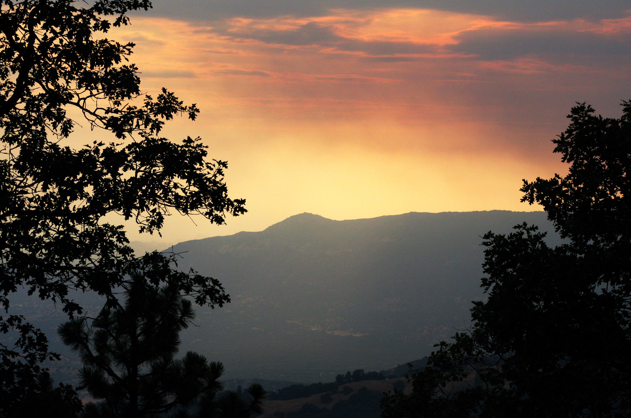
IMGP8385 - backcountry Forest Fire smokes drifting out

MounHome-26.jpg

MounHome-28.jpg
Great view
GC17N4N - Mistletoe
GC17N4N - Mistletoe
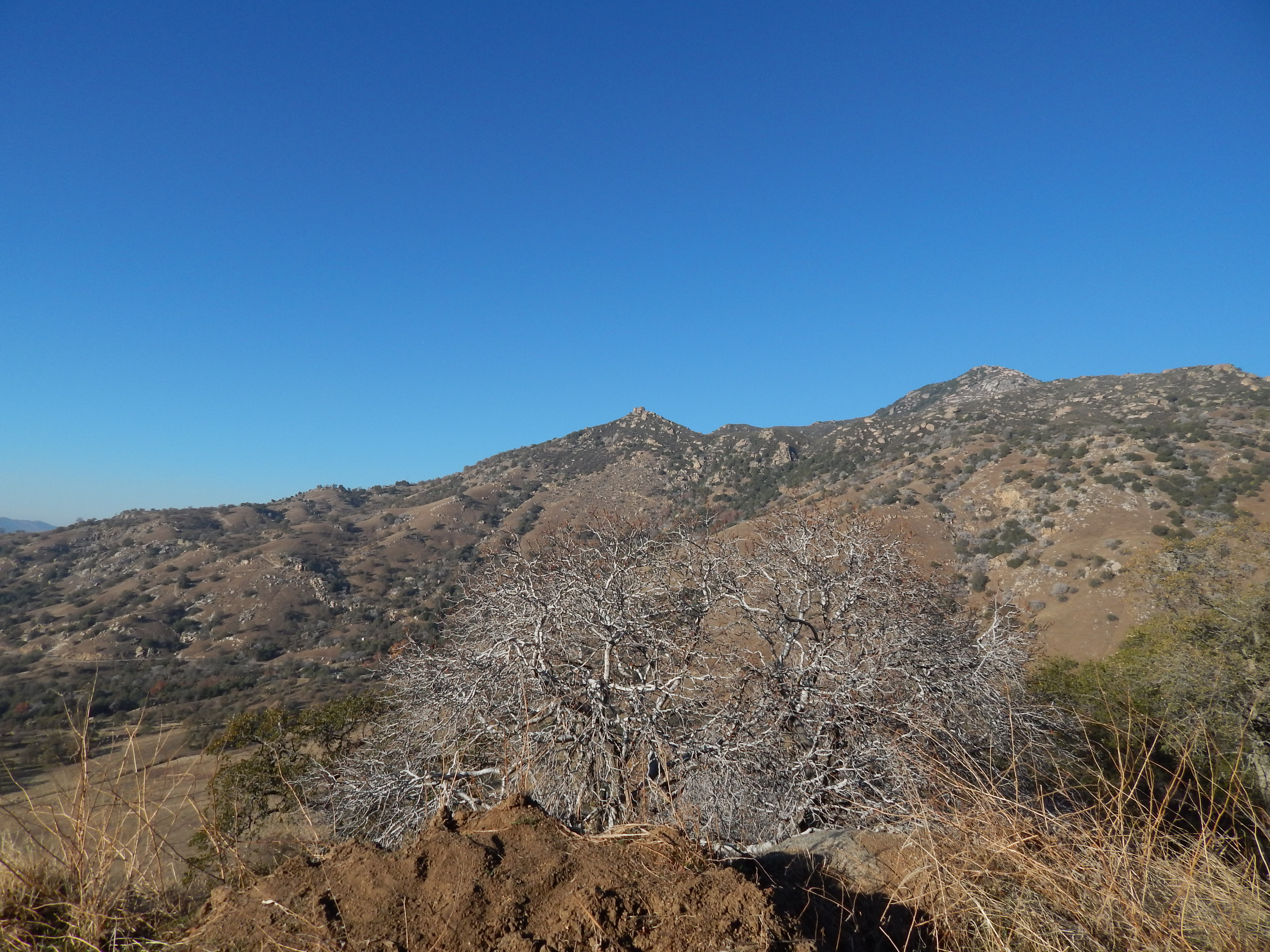
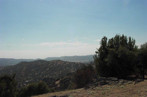
view of the foothills from Yokohl Valley Road
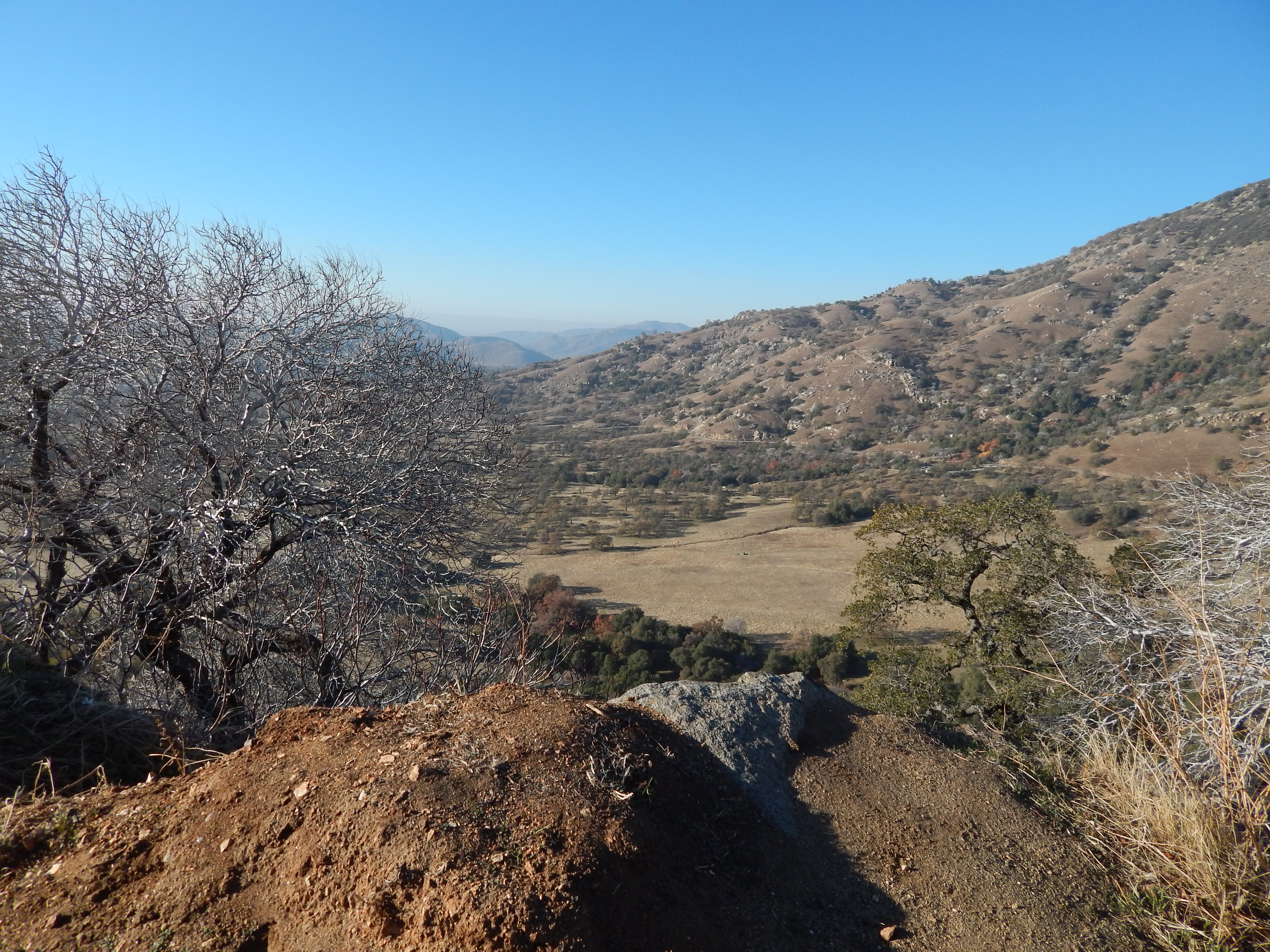
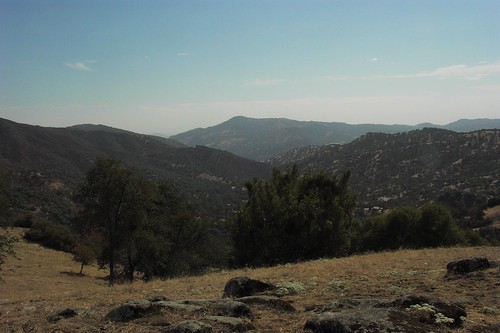
the view from Yokohl Valley Road in the California foothills
Great Energy B & B a86

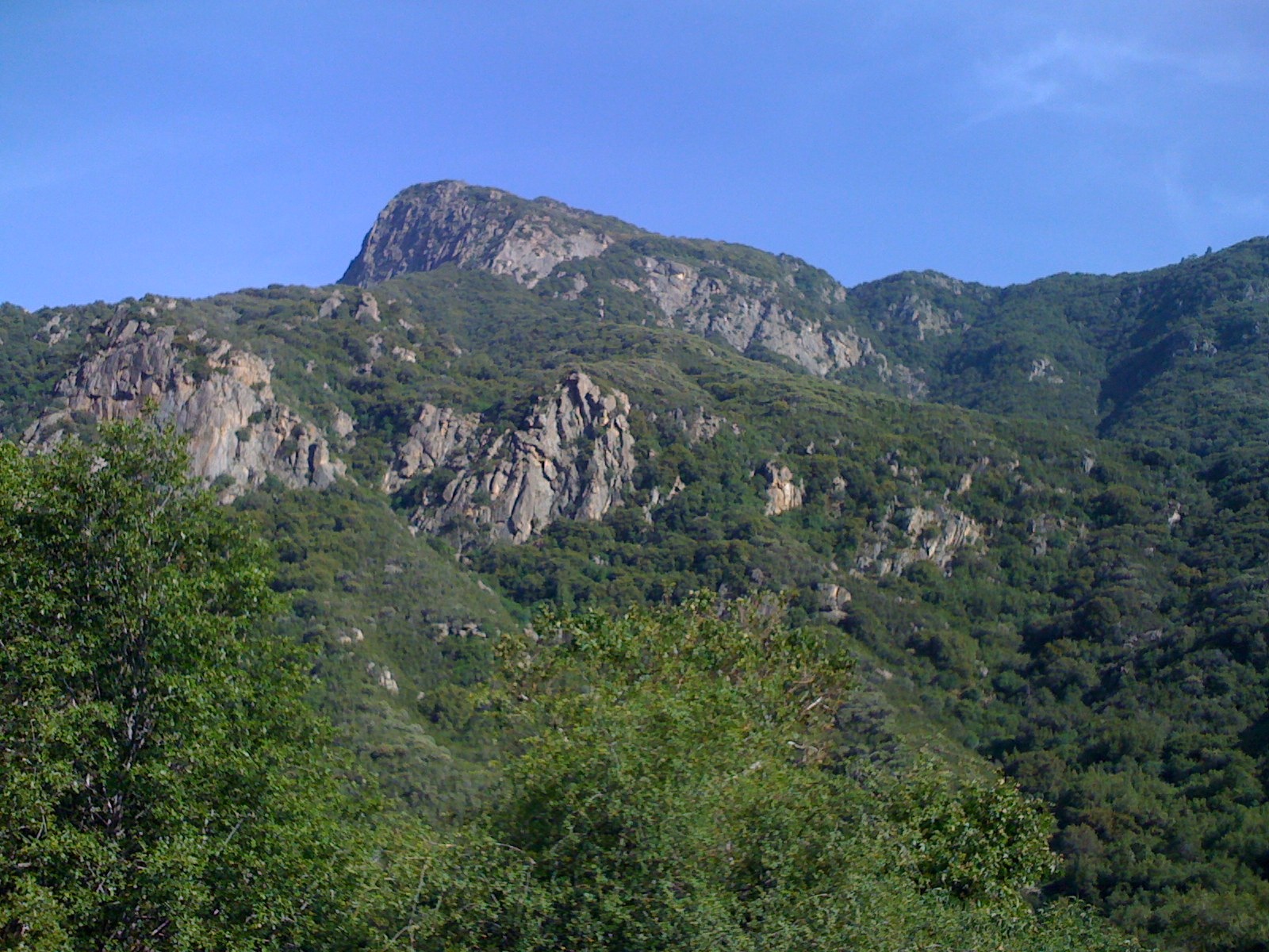
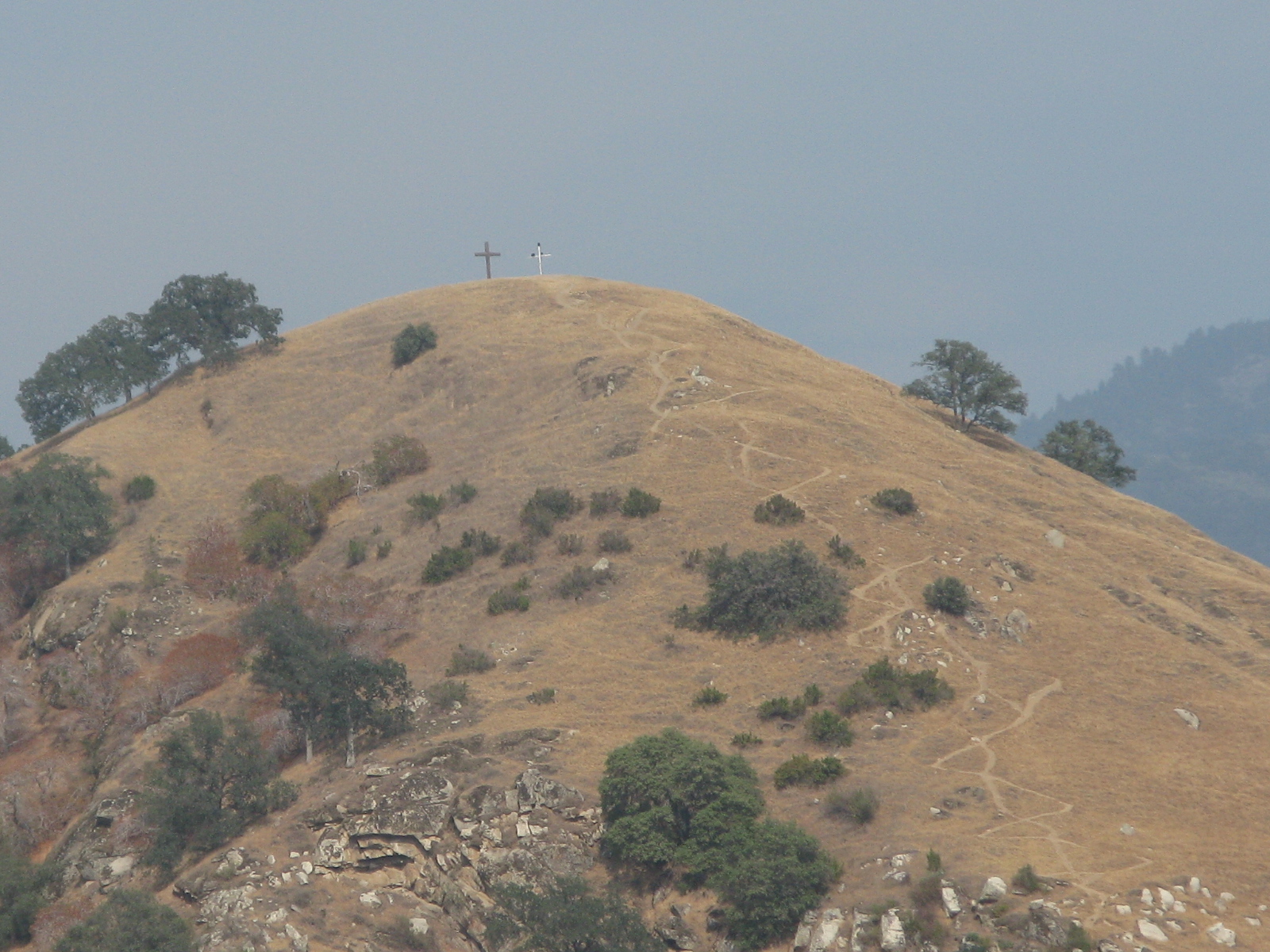
Tulare County's Battle Mountain
20151217-125045.jpg

919_1589.NEF

919_1590.NEF

919_1591.NEF

919_1592.NEF

919_1593.NEF

919_1594.NEF

824_1527.NEF

824_1528.NEF

824_1532.NEF

824_1533.NEF

824_1535.NEF

824_1536.NEF

824_1537.NEF

824_1538.NEF

824_1531.NEF

OVER THE SIERRA
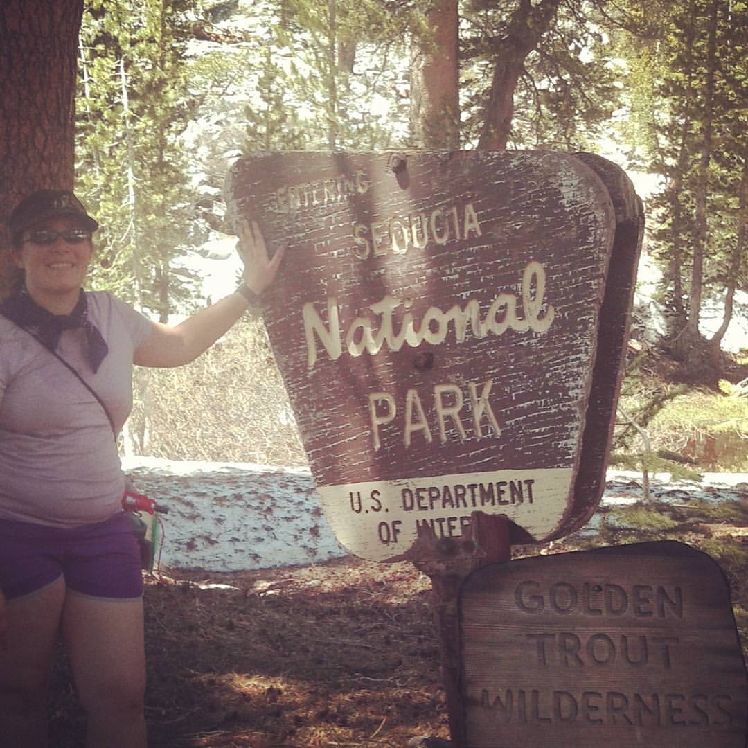
This is me after 6 miles, 5,000 elevation hike from long Meadow to summit lake in Sequoia National Forest. Beautiful pristine lake surrounded by snow.

Top of the Hill!

I'm just out horsing around with my camera this afternoon. My son took this picture with the Coolpix L110 he inherited from me. #horsemask #posing #majesticsteed #youlookrediculous #secretidentity #abc30insider #keepcalmchiveon #tularecounty
Balch Park Rd, Springville, CA アメリカ合衆国の地図
別の場所を検索
近所の場所
Balch Park Rd, Springville, CA アメリカ合衆国
Harris Rd, Springville, CA アメリカ合衆国
Balch Park Rd, Springville, CA アメリカ合衆国
アメリカ合衆国 〒 カリフォルニア州 ミロ
Balch Park Rd, Springville, CA アメリカ合衆国
Balch Park Rd, Springville, CA アメリカ合衆国
Bear Creek Rd, Springville, CA アメリカ合衆国バウチ・パーク・キャンプグランド
Springville, CA アメリカ合衆国コーヒー・キャンプ・キャンプグランド
アメリカ合衆国 〒 カリフォルニア州 スプリングビル
Tule River Dr, Springville, CA アメリカ合衆国
Ponderosa Dr, Springville, CA アメリカ合衆国
アメリカ合衆国 カリフォルニア州 トゥーレアリ
CA-, Springville, CA アメリカ合衆国
John Lewis Dr, Springville, CA アメリカ合衆国
Mineral King Rd, Three Rivers, CA アメリカ合衆国Mineral King Road
アメリカ合衆国 〒 カリフォルニア州 セコイア・ナショナル・パーク
アメリカ合衆国 〒 カリフォルニア州 キャンプ・ネルソン
CA-, Porterville, CA アメリカ合衆国
Cherokee Oaks Dr, Three Rivers, CA アメリカ合衆国
S Fork Dr, Three Rivers, CA アメリカ合衆国
最近の検索
- アメリカ合衆国 アラスカ州 レッド・ドッグ・マイン日の出日の入り時間
- Am bhf, Borken, ドイツアム・バーンホーフ日の出日の入り時間
- 4th St E, Sonoma, CA, USA日の出日の入り時間
- Oakland Ave, Williamsport, PA アメリカ合衆国日の出日の入り時間
- Via Roma, Pieranica CR, イタリアローマ通り日の出日の入り時間
- クロアチア 〒 ドゥブロブニク GradClock Tower of Dubrovnik日の出日の入り時間
- アルゼンチン チュブ州 トレリュー日の出日の入り時間
- Hartfords Bluff Cir, Mt Pleasant, SC アメリカ合衆国日の出日の入り時間
- 日本、熊本県熊本市北区日の出日の入り時間
- 中華人民共和国 福州市 平潭県 平潭島日の出日の入り時間