Horas de salida y puesta de sol de Balch Park Rd, Springville, CA, EE. UU.
Location: Estados Unidos > California > Condado de Tulare > Springville >
Zona horaria:
America/Los_Angeles
Hora local:
2025-06-26 04:47:34
Longitud:
-118.764598
Latitud:
36.261716
Salida de sol de hoy:
05:39:33 AM
Puesta de sol de hoy:
08:16:40 PM
La duración del día hoy:
14h 37m 7s
Salida de sol de mañana:
05:39:55 AM
Puesta de sol de mañana:
08:16:42 PM
La duración del día mañana:
14h 36m 47s
Mostrar todas las fechas
| Fecha | Salida de sol | Puesta de sol | Duración del día |
|---|---|---|---|
| 01/01/2025 | 07:06:28 AM | 04:52:05 PM | 9h 45m 37s |
| 02/01/2025 | 07:06:34 AM | 04:52:54 PM | 9h 46m 20s |
| 03/01/2025 | 07:06:39 AM | 04:53:44 PM | 9h 47m 5s |
| 04/01/2025 | 07:06:41 AM | 04:54:35 PM | 9h 47m 54s |
| 05/01/2025 | 07:06:42 AM | 04:55:27 PM | 9h 48m 45s |
| 06/01/2025 | 07:06:40 AM | 04:56:20 PM | 9h 49m 40s |
| 07/01/2025 | 07:06:36 AM | 04:57:14 PM | 9h 50m 38s |
| 08/01/2025 | 07:06:31 AM | 04:58:09 PM | 9h 51m 38s |
| 09/01/2025 | 07:06:23 AM | 04:59:05 PM | 9h 52m 42s |
| 10/01/2025 | 07:06:14 AM | 05:00:02 PM | 9h 53m 48s |
| 11/01/2025 | 07:06:02 AM | 05:01:00 PM | 9h 54m 58s |
| 12/01/2025 | 07:05:49 AM | 05:01:58 PM | 9h 56m 9s |
| 13/01/2025 | 07:05:33 AM | 05:02:57 PM | 9h 57m 24s |
| 14/01/2025 | 07:05:16 AM | 05:03:56 PM | 9h 58m 40s |
| 15/01/2025 | 07:04:57 AM | 05:04:56 PM | 9h 59m 59s |
| 16/01/2025 | 07:04:35 AM | 05:05:57 PM | 10h 1m 22s |
| 17/01/2025 | 07:04:12 AM | 05:06:58 PM | 10h 2m 46s |
| 18/01/2025 | 07:03:47 AM | 05:08:00 PM | 10h 4m 13s |
| 19/01/2025 | 07:03:20 AM | 05:09:02 PM | 10h 5m 42s |
| 20/01/2025 | 07:02:51 AM | 05:10:04 PM | 10h 7m 13s |
| 21/01/2025 | 07:02:21 AM | 05:11:07 PM | 10h 8m 46s |
| 22/01/2025 | 07:01:48 AM | 05:12:09 PM | 10h 10m 21s |
| 23/01/2025 | 07:01:14 AM | 05:13:13 PM | 10h 11m 59s |
| 24/01/2025 | 07:00:38 AM | 05:14:16 PM | 10h 13m 38s |
| 25/01/2025 | 07:00:00 AM | 05:15:19 PM | 10h 15m 19s |
| 26/01/2025 | 06:59:20 AM | 05:16:23 PM | 10h 17m 3s |
| 27/01/2025 | 06:58:39 AM | 05:17:27 PM | 10h 18m 48s |
| 28/01/2025 | 06:57:56 AM | 05:18:30 PM | 10h 20m 34s |
| 29/01/2025 | 06:57:12 AM | 05:19:34 PM | 10h 22m 22s |
| 30/01/2025 | 06:56:25 AM | 05:20:38 PM | 10h 24m 13s |
| 31/01/2025 | 06:55:38 AM | 05:21:42 PM | 10h 26m 4s |
| 01/02/2025 | 06:54:48 AM | 05:22:45 PM | 10h 27m 57s |
| 02/02/2025 | 06:53:57 AM | 05:23:49 PM | 10h 29m 52s |
| 03/02/2025 | 06:53:05 AM | 05:24:52 PM | 10h 31m 47s |
| 04/02/2025 | 06:52:11 AM | 05:25:55 PM | 10h 33m 44s |
| 05/02/2025 | 06:51:16 AM | 05:26:59 PM | 10h 35m 43s |
| 06/02/2025 | 06:50:19 AM | 05:28:02 PM | 10h 37m 43s |
| 07/02/2025 | 06:49:21 AM | 05:29:04 PM | 10h 39m 43s |
| 08/02/2025 | 06:48:21 AM | 05:30:07 PM | 10h 41m 46s |
| 09/02/2025 | 06:47:20 AM | 05:31:09 PM | 10h 43m 49s |
| 10/02/2025 | 06:46:18 AM | 05:32:11 PM | 10h 45m 53s |
| 11/02/2025 | 06:45:15 AM | 05:33:13 PM | 10h 47m 58s |
| 12/02/2025 | 06:44:10 AM | 05:34:14 PM | 10h 50m 4s |
| 13/02/2025 | 06:43:05 AM | 05:35:16 PM | 10h 52m 11s |
| 14/02/2025 | 06:41:58 AM | 05:36:17 PM | 10h 54m 19s |
| 15/02/2025 | 06:40:50 AM | 05:37:17 PM | 10h 56m 27s |
| 16/02/2025 | 06:39:40 AM | 05:38:18 PM | 10h 58m 38s |
| 17/02/2025 | 06:38:30 AM | 05:39:18 PM | 11h 0m 48s |
| 18/02/2025 | 06:37:19 AM | 05:40:17 PM | 11h 2m 58s |
| 19/02/2025 | 06:36:07 AM | 05:41:17 PM | 11h 5m 10s |
| 20/02/2025 | 06:34:54 AM | 05:42:16 PM | 11h 7m 22s |
| 21/02/2025 | 06:33:39 AM | 05:43:14 PM | 11h 9m 35s |
| 22/02/2025 | 06:32:24 AM | 05:44:13 PM | 11h 11m 49s |
| 23/02/2025 | 06:31:09 AM | 05:45:11 PM | 11h 14m 2s |
| 24/02/2025 | 06:29:52 AM | 05:46:09 PM | 11h 16m 17s |
| 25/02/2025 | 06:28:34 AM | 05:47:06 PM | 11h 18m 32s |
| 26/02/2025 | 06:27:16 AM | 05:48:03 PM | 11h 20m 47s |
| 27/02/2025 | 06:25:57 AM | 05:49:00 PM | 11h 23m 3s |
| 28/02/2025 | 06:24:37 AM | 05:49:56 PM | 11h 25m 19s |
| 01/03/2025 | 06:23:17 AM | 05:50:52 PM | 11h 27m 35s |
| 02/03/2025 | 06:21:56 AM | 05:51:48 PM | 11h 29m 52s |
| 03/03/2025 | 06:20:34 AM | 05:52:44 PM | 11h 32m 10s |
| 04/03/2025 | 06:19:12 AM | 05:53:39 PM | 11h 34m 27s |
| 05/03/2025 | 06:17:49 AM | 05:54:34 PM | 11h 36m 45s |
| 06/03/2025 | 06:16:26 AM | 05:55:28 PM | 11h 39m 2s |
| 07/03/2025 | 06:15:02 AM | 05:56:23 PM | 11h 41m 21s |
| 08/03/2025 | 06:13:37 AM | 05:57:17 PM | 11h 43m 40s |
| 09/03/2025 | 07:12:16 AM | 06:58:08 PM | 11h 45m 52s |
| 10/03/2025 | 07:10:51 AM | 06:59:02 PM | 11h 48m 11s |
| 11/03/2025 | 07:09:26 AM | 06:59:55 PM | 11h 50m 29s |
| 12/03/2025 | 07:08:00 AM | 07:00:49 PM | 11h 52m 49s |
| 13/03/2025 | 07:06:34 AM | 07:01:42 PM | 11h 55m 8s |
| 14/03/2025 | 07:05:08 AM | 07:02:34 PM | 11h 57m 26s |
| 15/03/2025 | 07:03:41 AM | 07:03:27 PM | 11h 59m 46s |
| 16/03/2025 | 07:02:14 AM | 07:04:19 PM | 12h 2m 5s |
| 17/03/2025 | 07:00:47 AM | 07:05:11 PM | 12h 4m 24s |
| 18/03/2025 | 06:59:20 AM | 07:06:03 PM | 12h 6m 43s |
| 19/03/2025 | 06:57:53 AM | 07:06:55 PM | 12h 9m 2s |
| 20/03/2025 | 06:56:25 AM | 07:07:47 PM | 12h 11m 22s |
| 21/03/2025 | 06:54:58 AM | 07:08:38 PM | 12h 13m 40s |
| 22/03/2025 | 06:53:30 AM | 07:09:30 PM | 12h 16m 0s |
| 23/03/2025 | 06:52:03 AM | 07:10:21 PM | 12h 18m 18s |
| 24/03/2025 | 06:50:35 AM | 07:11:13 PM | 12h 20m 38s |
| 25/03/2025 | 06:49:08 AM | 07:12:04 PM | 12h 22m 56s |
| 26/03/2025 | 06:47:41 AM | 07:12:55 PM | 12h 25m 14s |
| 27/03/2025 | 06:46:14 AM | 07:13:46 PM | 12h 27m 32s |
| 28/03/2025 | 06:44:46 AM | 07:14:37 PM | 12h 29m 51s |
| 29/03/2025 | 06:43:20 AM | 07:15:28 PM | 12h 32m 8s |
| 30/03/2025 | 06:41:53 AM | 07:16:19 PM | 12h 34m 26s |
| 31/03/2025 | 06:40:26 AM | 07:17:10 PM | 12h 36m 44s |
| 01/04/2025 | 06:39:00 AM | 07:18:00 PM | 12h 39m 0s |
| 02/04/2025 | 06:37:34 AM | 07:18:51 PM | 12h 41m 17s |
| 03/04/2025 | 06:36:09 AM | 07:19:42 PM | 12h 43m 33s |
| 04/04/2025 | 06:34:43 AM | 07:20:33 PM | 12h 45m 50s |
| 05/04/2025 | 06:33:19 AM | 07:21:24 PM | 12h 48m 5s |
| 06/04/2025 | 06:31:54 AM | 07:22:15 PM | 12h 50m 21s |
| 07/04/2025 | 06:30:30 AM | 07:23:06 PM | 12h 52m 36s |
| 08/04/2025 | 06:29:06 AM | 07:23:57 PM | 12h 54m 51s |
| 09/04/2025 | 06:27:43 AM | 07:24:48 PM | 12h 57m 5s |
| 10/04/2025 | 06:26:21 AM | 07:25:39 PM | 12h 59m 18s |
| 11/04/2025 | 06:24:59 AM | 07:26:30 PM | 13h 1m 31s |
| 12/04/2025 | 06:23:37 AM | 07:27:21 PM | 13h 3m 44s |
| 13/04/2025 | 06:22:17 AM | 07:28:12 PM | 13h 5m 55s |
| 14/04/2025 | 06:20:56 AM | 07:29:03 PM | 13h 8m 7s |
| 15/04/2025 | 06:19:37 AM | 07:29:55 PM | 13h 10m 18s |
| 16/04/2025 | 06:18:18 AM | 07:30:46 PM | 13h 12m 28s |
| 17/04/2025 | 06:17:00 AM | 07:31:37 PM | 13h 14m 37s |
| 18/04/2025 | 06:15:43 AM | 07:32:29 PM | 13h 16m 46s |
| 19/04/2025 | 06:14:26 AM | 07:33:20 PM | 13h 18m 54s |
| 20/04/2025 | 06:13:11 AM | 07:34:12 PM | 13h 21m 1s |
| 21/04/2025 | 06:11:56 AM | 07:35:03 PM | 13h 23m 7s |
| 22/04/2025 | 06:10:42 AM | 07:35:55 PM | 13h 25m 13s |
| 23/04/2025 | 06:09:29 AM | 07:36:47 PM | 13h 27m 18s |
| 24/04/2025 | 06:08:17 AM | 07:37:38 PM | 13h 29m 21s |
| 25/04/2025 | 06:07:05 AM | 07:38:30 PM | 13h 31m 25s |
| 26/04/2025 | 06:05:55 AM | 07:39:22 PM | 13h 33m 27s |
| 27/04/2025 | 06:04:46 AM | 07:40:13 PM | 13h 35m 27s |
| 28/04/2025 | 06:03:38 AM | 07:41:05 PM | 13h 37m 27s |
| 29/04/2025 | 06:02:31 AM | 07:41:57 PM | 13h 39m 26s |
| 30/04/2025 | 06:01:25 AM | 07:42:48 PM | 13h 41m 23s |
| 01/05/2025 | 06:00:20 AM | 07:43:40 PM | 13h 43m 20s |
| 02/05/2025 | 05:59:17 AM | 07:44:31 PM | 13h 45m 14s |
| 03/05/2025 | 05:58:14 AM | 07:45:23 PM | 13h 47m 9s |
| 04/05/2025 | 05:57:13 AM | 07:46:14 PM | 13h 49m 1s |
| 05/05/2025 | 05:56:13 AM | 07:47:05 PM | 13h 50m 52s |
| 06/05/2025 | 05:55:14 AM | 07:47:56 PM | 13h 52m 42s |
| 07/05/2025 | 05:54:17 AM | 07:48:47 PM | 13h 54m 30s |
| 08/05/2025 | 05:53:21 AM | 07:49:38 PM | 13h 56m 17s |
| 09/05/2025 | 05:52:26 AM | 07:50:29 PM | 13h 58m 3s |
| 10/05/2025 | 05:51:32 AM | 07:51:19 PM | 13h 59m 47s |
| 11/05/2025 | 05:50:40 AM | 07:52:09 PM | 14h 1m 29s |
| 12/05/2025 | 05:49:50 AM | 07:52:59 PM | 14h 3m 9s |
| 13/05/2025 | 05:49:01 AM | 07:53:48 PM | 14h 4m 47s |
| 14/05/2025 | 05:48:13 AM | 07:54:37 PM | 14h 6m 24s |
| 15/05/2025 | 05:47:27 AM | 07:55:26 PM | 14h 7m 59s |
| 16/05/2025 | 05:46:42 AM | 07:56:15 PM | 14h 9m 33s |
| 17/05/2025 | 05:45:59 AM | 07:57:03 PM | 14h 11m 4s |
| 18/05/2025 | 05:45:17 AM | 07:57:50 PM | 14h 12m 33s |
| 19/05/2025 | 05:44:37 AM | 07:58:37 PM | 14h 14m 0s |
| 20/05/2025 | 05:43:59 AM | 07:59:24 PM | 14h 15m 25s |
| 21/05/2025 | 05:43:22 AM | 08:00:10 PM | 14h 16m 48s |
| 22/05/2025 | 05:42:47 AM | 08:00:55 PM | 14h 18m 8s |
| 23/05/2025 | 05:42:13 AM | 08:01:40 PM | 14h 19m 27s |
| 24/05/2025 | 05:41:41 AM | 08:02:24 PM | 14h 20m 43s |
| 25/05/2025 | 05:41:11 AM | 08:03:08 PM | 14h 21m 57s |
| 26/05/2025 | 05:40:42 AM | 08:03:50 PM | 14h 23m 8s |
| 27/05/2025 | 05:40:15 AM | 08:04:32 PM | 14h 24m 17s |
| 28/05/2025 | 05:39:50 AM | 08:05:14 PM | 14h 25m 24s |
| 29/05/2025 | 05:39:26 AM | 08:05:54 PM | 14h 26m 28s |
| 30/05/2025 | 05:39:05 AM | 08:06:33 PM | 14h 27m 28s |
| 31/05/2025 | 05:38:44 AM | 08:07:12 PM | 14h 28m 28s |
| 01/06/2025 | 05:38:26 AM | 08:07:50 PM | 14h 29m 24s |
| 02/06/2025 | 05:38:09 AM | 08:08:26 PM | 14h 30m 17s |
| 03/06/2025 | 05:37:54 AM | 08:09:02 PM | 14h 31m 8s |
| 04/06/2025 | 05:37:41 AM | 08:09:37 PM | 14h 31m 56s |
| 05/06/2025 | 05:37:30 AM | 08:10:10 PM | 14h 32m 40s |
| 06/06/2025 | 05:37:20 AM | 08:10:42 PM | 14h 33m 22s |
| 07/06/2025 | 05:37:12 AM | 08:11:14 PM | 14h 34m 2s |
| 08/06/2025 | 05:37:05 AM | 08:11:43 PM | 14h 34m 38s |
| 09/06/2025 | 05:37:00 AM | 08:12:12 PM | 14h 35m 12s |
| 10/06/2025 | 05:36:57 AM | 08:12:40 PM | 14h 35m 43s |
| 11/06/2025 | 05:36:56 AM | 08:13:06 PM | 14h 36m 10s |
| 12/06/2025 | 05:36:56 AM | 08:13:31 PM | 14h 36m 35s |
| 13/06/2025 | 05:36:58 AM | 08:13:54 PM | 14h 36m 56s |
| 14/06/2025 | 05:37:02 AM | 08:14:16 PM | 14h 37m 14s |
| 15/06/2025 | 05:37:07 AM | 08:14:37 PM | 14h 37m 30s |
| 16/06/2025 | 05:37:14 AM | 08:14:56 PM | 14h 37m 42s |
| 17/06/2025 | 05:37:23 AM | 08:15:14 PM | 14h 37m 51s |
| 18/06/2025 | 05:37:33 AM | 08:15:30 PM | 14h 37m 57s |
| 19/06/2025 | 05:37:44 AM | 08:15:44 PM | 14h 38m 0s |
| 20/06/2025 | 05:37:57 AM | 08:15:57 PM | 14h 38m 0s |
| 21/06/2025 | 05:38:12 AM | 08:16:09 PM | 14h 37m 57s |
| 22/06/2025 | 05:38:28 AM | 08:16:19 PM | 14h 37m 51s |
| 23/06/2025 | 05:38:46 AM | 08:16:27 PM | 14h 37m 41s |
| 24/06/2025 | 05:39:04 AM | 08:16:33 PM | 14h 37m 29s |
| 25/06/2025 | 05:39:25 AM | 08:16:38 PM | 14h 37m 13s |
| 26/06/2025 | 05:39:47 AM | 08:16:41 PM | 14h 36m 54s |
| 27/06/2025 | 05:40:10 AM | 08:16:43 PM | 14h 36m 33s |
| 28/06/2025 | 05:40:34 AM | 08:16:43 PM | 14h 36m 9s |
| 29/06/2025 | 05:40:59 AM | 08:16:41 PM | 14h 35m 42s |
| 30/06/2025 | 05:41:26 AM | 08:16:37 PM | 14h 35m 11s |
| 01/07/2025 | 05:41:54 AM | 08:16:32 PM | 14h 34m 38s |
| 02/07/2025 | 05:42:23 AM | 08:16:24 PM | 14h 34m 1s |
| 03/07/2025 | 05:42:54 AM | 08:16:16 PM | 14h 33m 22s |
| 04/07/2025 | 05:43:25 AM | 08:16:05 PM | 14h 32m 40s |
| 05/07/2025 | 05:43:58 AM | 08:15:52 PM | 14h 31m 54s |
| 06/07/2025 | 05:44:31 AM | 08:15:38 PM | 14h 31m 7s |
| 07/07/2025 | 05:45:05 AM | 08:15:22 PM | 14h 30m 17s |
| 08/07/2025 | 05:45:41 AM | 08:15:04 PM | 14h 29m 23s |
| 09/07/2025 | 05:46:17 AM | 08:14:45 PM | 14h 28m 28s |
| 10/07/2025 | 05:46:54 AM | 08:14:24 PM | 14h 27m 30s |
| 11/07/2025 | 05:47:32 AM | 08:14:01 PM | 14h 26m 29s |
| 12/07/2025 | 05:48:11 AM | 08:13:36 PM | 14h 25m 25s |
| 13/07/2025 | 05:48:51 AM | 08:13:10 PM | 14h 24m 19s |
| 14/07/2025 | 05:49:31 AM | 08:12:41 PM | 14h 23m 10s |
| 15/07/2025 | 05:50:12 AM | 08:12:12 PM | 14h 22m 0s |
| 16/07/2025 | 05:50:54 AM | 08:11:40 PM | 14h 20m 46s |
| 17/07/2025 | 05:51:36 AM | 08:11:07 PM | 14h 19m 31s |
| 18/07/2025 | 05:52:19 AM | 08:10:32 PM | 14h 18m 13s |
| 19/07/2025 | 05:53:02 AM | 08:09:55 PM | 14h 16m 53s |
| 20/07/2025 | 05:53:46 AM | 08:09:17 PM | 14h 15m 31s |
| 21/07/2025 | 05:54:30 AM | 08:08:37 PM | 14h 14m 7s |
| 22/07/2025 | 05:55:15 AM | 08:07:56 PM | 14h 12m 41s |
| 23/07/2025 | 05:56:00 AM | 08:07:12 PM | 14h 11m 12s |
| 24/07/2025 | 05:56:46 AM | 08:06:28 PM | 14h 9m 42s |
| 25/07/2025 | 05:57:32 AM | 08:05:42 PM | 14h 8m 10s |
| 26/07/2025 | 05:58:18 AM | 08:04:54 PM | 14h 6m 36s |
| 27/07/2025 | 05:59:04 AM | 08:04:05 PM | 14h 5m 1s |
| 28/07/2025 | 05:59:51 AM | 08:03:14 PM | 14h 3m 23s |
| 29/07/2025 | 06:00:38 AM | 08:02:22 PM | 14h 1m 44s |
| 30/07/2025 | 06:01:26 AM | 08:01:28 PM | 14h 0m 2s |
| 31/07/2025 | 06:02:13 AM | 08:00:33 PM | 13h 58m 20s |
| 01/08/2025 | 06:03:01 AM | 07:59:37 PM | 13h 56m 36s |
| 02/08/2025 | 06:03:48 AM | 07:58:39 PM | 13h 54m 51s |
| 03/08/2025 | 06:04:36 AM | 07:57:40 PM | 13h 53m 4s |
| 04/08/2025 | 06:05:24 AM | 07:56:40 PM | 13h 51m 16s |
| 05/08/2025 | 06:06:12 AM | 07:55:38 PM | 13h 49m 26s |
| 06/08/2025 | 06:07:01 AM | 07:54:36 PM | 13h 47m 35s |
| 07/08/2025 | 06:07:49 AM | 07:53:31 PM | 13h 45m 42s |
| 08/08/2025 | 06:08:37 AM | 07:52:26 PM | 13h 43m 49s |
| 09/08/2025 | 06:09:25 AM | 07:51:20 PM | 13h 41m 55s |
| 10/08/2025 | 06:10:13 AM | 07:50:12 PM | 13h 39m 59s |
| 11/08/2025 | 06:11:02 AM | 07:49:03 PM | 13h 38m 1s |
| 12/08/2025 | 06:11:50 AM | 07:47:54 PM | 13h 36m 4s |
| 13/08/2025 | 06:12:38 AM | 07:46:43 PM | 13h 34m 5s |
| 14/08/2025 | 06:13:26 AM | 07:45:31 PM | 13h 32m 5s |
| 15/08/2025 | 06:14:14 AM | 07:44:18 PM | 13h 30m 4s |
| 16/08/2025 | 06:15:02 AM | 07:43:04 PM | 13h 28m 2s |
| 17/08/2025 | 06:15:50 AM | 07:41:49 PM | 13h 25m 59s |
| 18/08/2025 | 06:16:38 AM | 07:40:33 PM | 13h 23m 55s |
| 19/08/2025 | 06:17:26 AM | 07:39:17 PM | 13h 21m 51s |
| 20/08/2025 | 06:18:14 AM | 07:37:59 PM | 13h 19m 45s |
| 21/08/2025 | 06:19:02 AM | 07:36:41 PM | 13h 17m 39s |
| 22/08/2025 | 06:19:49 AM | 07:35:22 PM | 13h 15m 33s |
| 23/08/2025 | 06:20:37 AM | 07:34:02 PM | 13h 13m 25s |
| 24/08/2025 | 06:21:24 AM | 07:32:41 PM | 13h 11m 17s |
| 25/08/2025 | 06:22:12 AM | 07:31:20 PM | 13h 9m 8s |
| 26/08/2025 | 06:22:59 AM | 07:29:58 PM | 13h 6m 59s |
| 27/08/2025 | 06:23:46 AM | 07:28:35 PM | 13h 4m 49s |
| 28/08/2025 | 06:24:33 AM | 07:27:12 PM | 13h 2m 39s |
| 29/08/2025 | 06:25:20 AM | 07:25:48 PM | 13h 0m 28s |
| 30/08/2025 | 06:26:07 AM | 07:24:24 PM | 12h 58m 17s |
| 31/08/2025 | 06:26:54 AM | 07:22:59 PM | 12h 56m 5s |
| 01/09/2025 | 06:27:41 AM | 07:21:33 PM | 12h 53m 52s |
| 02/09/2025 | 06:28:27 AM | 07:20:07 PM | 12h 51m 40s |
| 03/09/2025 | 06:29:14 AM | 07:18:41 PM | 12h 49m 27s |
| 04/09/2025 | 06:30:01 AM | 07:17:14 PM | 12h 47m 13s |
| 05/09/2025 | 06:30:47 AM | 07:15:47 PM | 12h 45m 0s |
| 06/09/2025 | 06:31:34 AM | 07:14:19 PM | 12h 42m 45s |
| 07/09/2025 | 06:32:21 AM | 07:12:51 PM | 12h 40m 30s |
| 08/09/2025 | 06:33:07 AM | 07:11:23 PM | 12h 38m 16s |
| 09/09/2025 | 06:33:54 AM | 07:09:54 PM | 12h 36m 0s |
| 10/09/2025 | 06:34:40 AM | 07:08:25 PM | 12h 33m 45s |
| 11/09/2025 | 06:35:27 AM | 07:06:56 PM | 12h 31m 29s |
| 12/09/2025 | 06:36:13 AM | 07:05:27 PM | 12h 29m 14s |
| 13/09/2025 | 06:37:00 AM | 07:03:58 PM | 12h 26m 58s |
| 14/09/2025 | 06:37:47 AM | 07:02:28 PM | 12h 24m 41s |
| 15/09/2025 | 06:38:33 AM | 07:00:59 PM | 12h 22m 26s |
| 16/09/2025 | 06:39:20 AM | 06:59:29 PM | 12h 20m 9s |
| 17/09/2025 | 06:40:07 AM | 06:57:59 PM | 12h 17m 52s |
| 18/09/2025 | 06:40:54 AM | 06:56:29 PM | 12h 15m 35s |
| 19/09/2025 | 06:41:41 AM | 06:55:00 PM | 12h 13m 19s |
| 20/09/2025 | 06:42:28 AM | 06:53:30 PM | 12h 11m 2s |
| 21/09/2025 | 06:43:16 AM | 06:52:00 PM | 12h 8m 44s |
| 22/09/2025 | 06:44:03 AM | 06:50:31 PM | 12h 6m 28s |
| 23/09/2025 | 06:44:51 AM | 06:49:01 PM | 12h 4m 10s |
| 24/09/2025 | 06:45:38 AM | 06:47:32 PM | 12h 1m 54s |
| 25/09/2025 | 06:46:26 AM | 06:46:03 PM | 11h 59m 37s |
| 26/09/2025 | 06:47:14 AM | 06:44:34 PM | 11h 57m 20s |
| 27/09/2025 | 06:48:03 AM | 06:43:05 PM | 11h 55m 2s |
| 28/09/2025 | 06:48:51 AM | 06:41:37 PM | 11h 52m 46s |
| 29/09/2025 | 06:49:40 AM | 06:40:09 PM | 11h 50m 29s |
| 30/09/2025 | 06:50:29 AM | 06:38:41 PM | 11h 48m 12s |
| 01/10/2025 | 06:51:18 AM | 06:37:14 PM | 11h 45m 56s |
| 02/10/2025 | 06:52:08 AM | 06:35:47 PM | 11h 43m 39s |
| 03/10/2025 | 06:52:57 AM | 06:34:20 PM | 11h 41m 23s |
| 04/10/2025 | 06:53:47 AM | 06:32:54 PM | 11h 39m 7s |
| 05/10/2025 | 06:54:38 AM | 06:31:28 PM | 11h 36m 50s |
| 06/10/2025 | 06:55:28 AM | 06:30:03 PM | 11h 34m 35s |
| 07/10/2025 | 06:56:19 AM | 06:28:39 PM | 11h 32m 20s |
| 08/10/2025 | 06:57:10 AM | 06:27:15 PM | 11h 30m 5s |
| 09/10/2025 | 06:58:02 AM | 06:25:51 PM | 11h 27m 49s |
| 10/10/2025 | 06:58:54 AM | 06:24:29 PM | 11h 25m 35s |
| 11/10/2025 | 06:59:46 AM | 06:23:06 PM | 11h 23m 20s |
| 12/10/2025 | 07:00:38 AM | 06:21:45 PM | 11h 21m 7s |
| 13/10/2025 | 07:01:31 AM | 06:20:24 PM | 11h 18m 53s |
| 14/10/2025 | 07:02:24 AM | 06:19:05 PM | 11h 16m 41s |
| 15/10/2025 | 07:03:18 AM | 06:17:45 PM | 11h 14m 27s |
| 16/10/2025 | 07:04:12 AM | 06:16:27 PM | 11h 12m 15s |
| 17/10/2025 | 07:05:06 AM | 06:15:10 PM | 11h 10m 4s |
| 18/10/2025 | 07:06:01 AM | 06:13:53 PM | 11h 7m 52s |
| 19/10/2025 | 07:06:56 AM | 06:12:37 PM | 11h 5m 41s |
| 20/10/2025 | 07:07:51 AM | 06:11:23 PM | 11h 3m 32s |
| 21/10/2025 | 07:08:46 AM | 06:10:09 PM | 11h 1m 23s |
| 22/10/2025 | 07:09:42 AM | 06:08:56 PM | 10h 59m 14s |
| 23/10/2025 | 07:10:39 AM | 06:07:45 PM | 10h 57m 6s |
| 24/10/2025 | 07:11:36 AM | 06:06:34 PM | 10h 54m 58s |
| 25/10/2025 | 07:12:33 AM | 06:05:25 PM | 10h 52m 52s |
| 26/10/2025 | 07:13:30 AM | 06:04:16 PM | 10h 50m 46s |
| 27/10/2025 | 07:14:28 AM | 06:03:09 PM | 10h 48m 41s |
| 28/10/2025 | 07:15:26 AM | 06:02:03 PM | 10h 46m 37s |
| 29/10/2025 | 07:16:24 AM | 06:00:59 PM | 10h 44m 35s |
| 30/10/2025 | 07:17:23 AM | 05:59:55 PM | 10h 42m 32s |
| 31/10/2025 | 07:18:22 AM | 05:58:53 PM | 10h 40m 31s |
| 01/11/2025 | 07:19:21 AM | 05:57:52 PM | 10h 38m 31s |
| 02/11/2025 | 06:20:23 AM | 04:56:51 PM | 10h 36m 28s |
| 03/11/2025 | 06:21:22 AM | 04:55:53 PM | 10h 34m 31s |
| 04/11/2025 | 06:22:22 AM | 04:54:56 PM | 10h 32m 34s |
| 05/11/2025 | 06:23:22 AM | 04:54:01 PM | 10h 30m 39s |
| 06/11/2025 | 06:24:22 AM | 04:53:08 PM | 10h 28m 46s |
| 07/11/2025 | 06:25:23 AM | 04:52:16 PM | 10h 26m 53s |
| 08/11/2025 | 06:26:23 AM | 04:51:25 PM | 10h 25m 2s |
| 09/11/2025 | 06:27:24 AM | 04:50:36 PM | 10h 23m 12s |
| 10/11/2025 | 06:28:25 AM | 04:49:49 PM | 10h 21m 24s |
| 11/11/2025 | 06:29:26 AM | 04:49:03 PM | 10h 19m 37s |
| 12/11/2025 | 06:30:27 AM | 04:48:20 PM | 10h 17m 53s |
| 13/11/2025 | 06:31:27 AM | 04:47:37 PM | 10h 16m 10s |
| 14/11/2025 | 06:32:28 AM | 04:46:57 PM | 10h 14m 29s |
| 15/11/2025 | 06:33:29 AM | 04:46:18 PM | 10h 12m 49s |
| 16/11/2025 | 06:34:29 AM | 04:45:41 PM | 10h 11m 12s |
| 17/11/2025 | 06:35:30 AM | 04:45:06 PM | 10h 9m 36s |
| 18/11/2025 | 06:36:30 AM | 04:44:33 PM | 10h 8m 3s |
| 19/11/2025 | 06:37:30 AM | 04:44:01 PM | 10h 6m 31s |
| 20/11/2025 | 06:38:30 AM | 04:43:31 PM | 10h 5m 1s |
| 21/11/2025 | 06:39:30 AM | 04:43:04 PM | 10h 3m 34s |
| 22/11/2025 | 06:40:29 AM | 04:42:38 PM | 10h 2m 9s |
| 23/11/2025 | 06:41:28 AM | 04:42:14 PM | 10h 0m 46s |
| 24/11/2025 | 06:42:26 AM | 04:41:52 PM | 9h 59m 26s |
| 25/11/2025 | 06:43:24 AM | 04:41:32 PM | 9h 58m 8s |
| 26/11/2025 | 06:44:21 AM | 04:41:14 PM | 9h 56m 53s |
| 27/11/2025 | 06:45:18 AM | 04:40:58 PM | 9h 55m 40s |
| 28/11/2025 | 06:46:14 AM | 04:40:44 PM | 9h 54m 30s |
| 29/11/2025 | 06:47:10 AM | 04:40:32 PM | 9h 53m 22s |
| 30/11/2025 | 06:48:05 AM | 04:40:22 PM | 9h 52m 17s |
| 01/12/2025 | 06:48:59 AM | 04:40:14 PM | 9h 51m 15s |
| 02/12/2025 | 06:49:52 AM | 04:40:08 PM | 9h 50m 16s |
| 03/12/2025 | 06:50:44 AM | 04:40:04 PM | 9h 49m 20s |
| 04/12/2025 | 06:51:36 AM | 04:40:02 PM | 9h 48m 26s |
| 05/12/2025 | 06:52:27 AM | 04:40:02 PM | 9h 47m 35s |
| 06/12/2025 | 06:53:16 AM | 04:40:05 PM | 9h 46m 49s |
| 07/12/2025 | 06:54:05 AM | 04:40:09 PM | 9h 46m 4s |
| 08/12/2025 | 06:54:52 AM | 04:40:15 PM | 9h 45m 23s |
| 09/12/2025 | 06:55:38 AM | 04:40:23 PM | 9h 44m 45s |
| 10/12/2025 | 06:56:23 AM | 04:40:33 PM | 9h 44m 10s |
| 11/12/2025 | 06:57:07 AM | 04:40:45 PM | 9h 43m 38s |
| 12/12/2025 | 06:57:50 AM | 04:41:00 PM | 9h 43m 10s |
| 13/12/2025 | 06:58:31 AM | 04:41:16 PM | 9h 42m 45s |
| 14/12/2025 | 06:59:11 AM | 04:41:34 PM | 9h 42m 23s |
| 15/12/2025 | 06:59:49 AM | 04:41:54 PM | 9h 42m 5s |
| 16/12/2025 | 07:00:26 AM | 04:42:15 PM | 9h 41m 49s |
| 17/12/2025 | 07:01:01 AM | 04:42:39 PM | 9h 41m 38s |
| 18/12/2025 | 07:01:35 AM | 04:43:04 PM | 9h 41m 29s |
| 19/12/2025 | 07:02:07 AM | 04:43:32 PM | 9h 41m 25s |
| 20/12/2025 | 07:02:38 AM | 04:44:01 PM | 9h 41m 23s |
| 21/12/2025 | 07:03:07 AM | 04:44:31 PM | 9h 41m 24s |
| 22/12/2025 | 07:03:34 AM | 04:45:04 PM | 9h 41m 30s |
| 23/12/2025 | 07:03:59 AM | 04:45:38 PM | 9h 41m 39s |
| 24/12/2025 | 07:04:23 AM | 04:46:14 PM | 9h 41m 51s |
| 25/12/2025 | 07:04:45 AM | 04:46:51 PM | 9h 42m 6s |
| 26/12/2025 | 07:05:05 AM | 04:47:30 PM | 9h 42m 25s |
| 27/12/2025 | 07:05:23 AM | 04:48:10 PM | 9h 42m 47s |
| 28/12/2025 | 07:05:40 AM | 04:48:52 PM | 9h 43m 12s |
| 29/12/2025 | 07:05:54 AM | 04:49:36 PM | 9h 43m 42s |
| 30/12/2025 | 07:06:07 AM | 04:50:20 PM | 9h 44m 13s |
| 31/12/2025 | 07:06:17 AM | 04:51:06 PM | 9h 44m 49s |
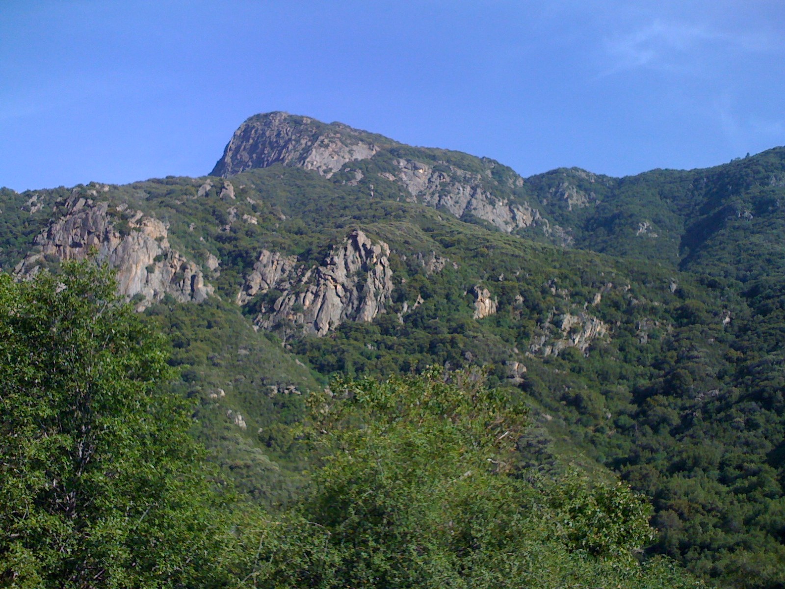
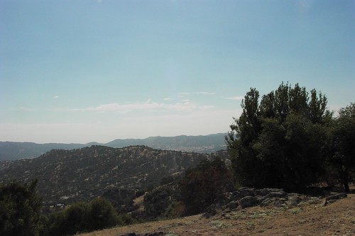
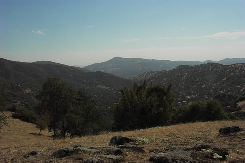
Fotos
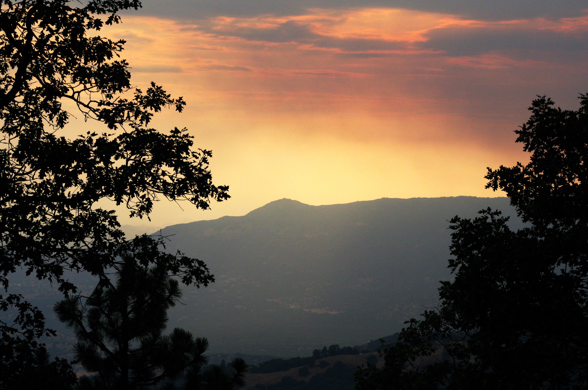
IMGP8385 - backcountry Forest Fire smokes drifting out

MounHome-26.jpg

MounHome-28.jpg
Great view
GC17N4N - Mistletoe
GC17N4N - Mistletoe
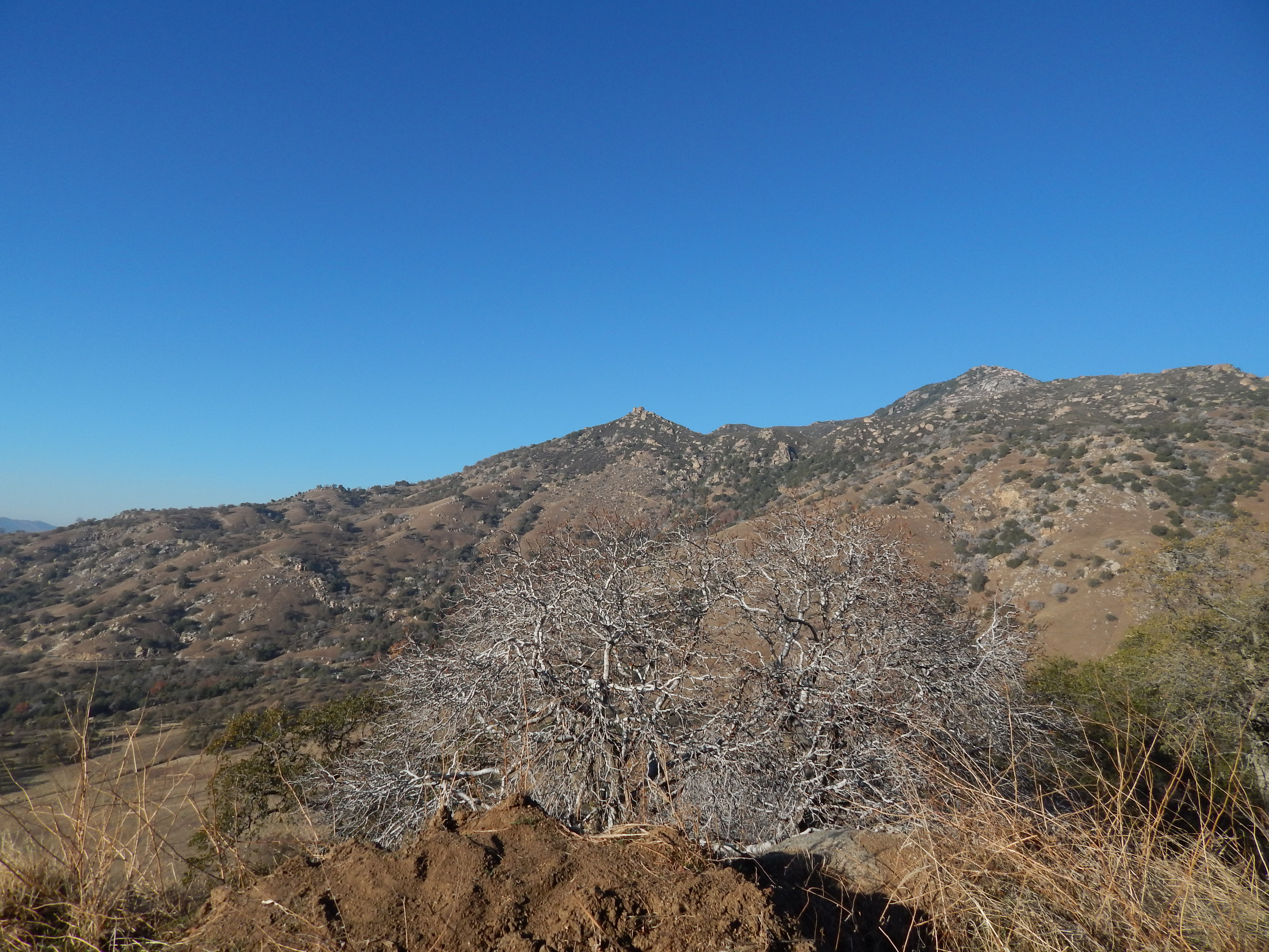
view of the foothills from Yokohl Valley Road
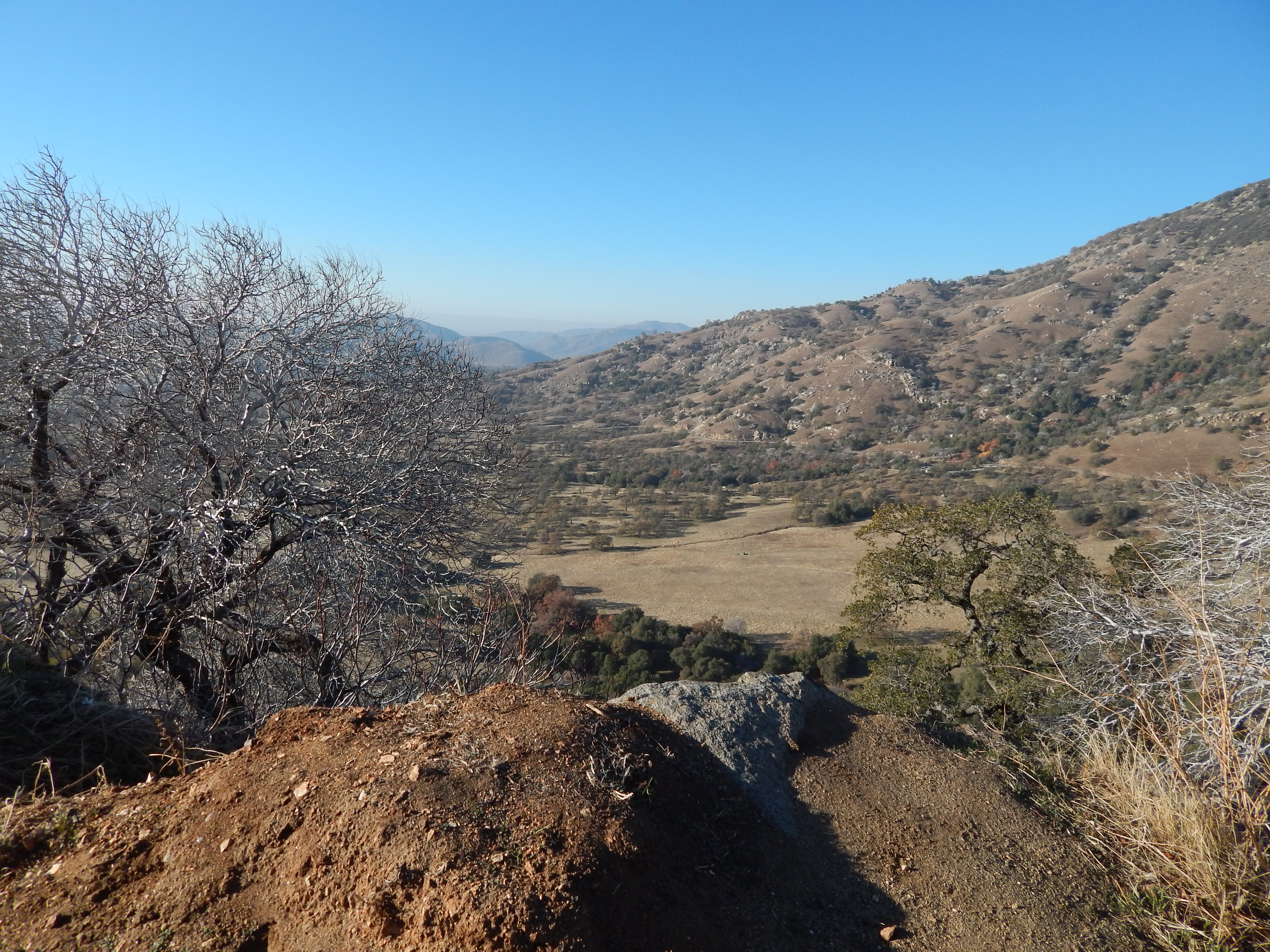
the view from Yokohl Valley Road in the California foothills
Great Energy B & B a86

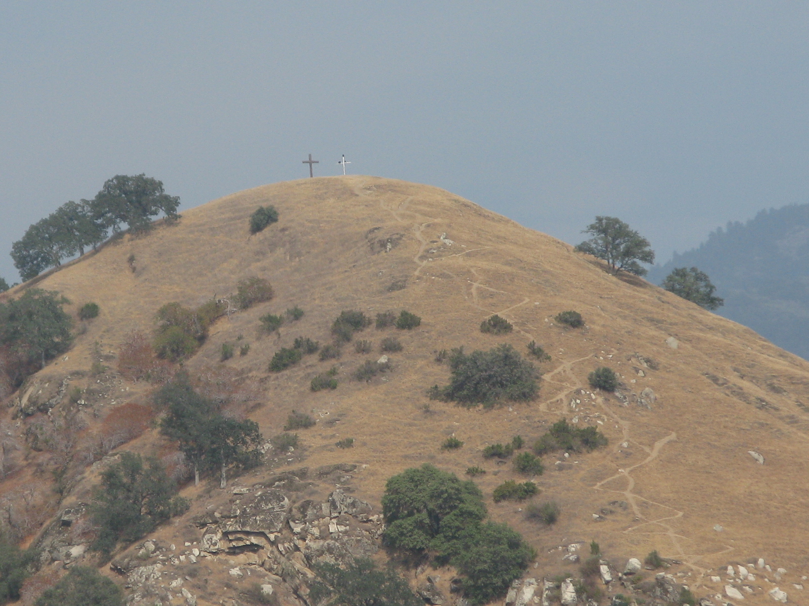
Tulare County's Battle Mountain
20151217-125045.jpg

919_1589.NEF

919_1590.NEF

919_1591.NEF

919_1592.NEF

919_1593.NEF

919_1594.NEF

824_1527.NEF

824_1528.NEF

824_1532.NEF

824_1533.NEF

824_1535.NEF

824_1536.NEF

824_1537.NEF

824_1538.NEF

824_1531.NEF

OVER THE SIERRA
This is me after 6 miles, 5,000 elevation hike from long Meadow to summit lake in Sequoia National Forest. Beautiful pristine lake surrounded by snow.
Top of the Hill!
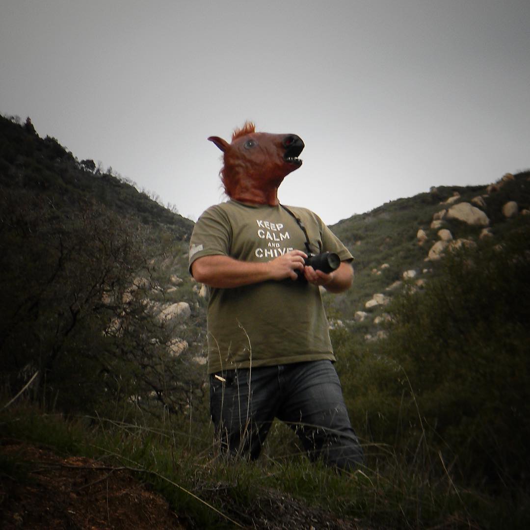
I'm just out horsing around with my camera this afternoon. My son took this picture with the Coolpix L110 he inherited from me. #horsemask #posing #majesticsteed #youlookrediculous #secretidentity #abc30insider #keepcalmchiveon #tularecounty
Mapa de Balch Park Rd, Springville, CA, EE. UU.
Buscar otro lugar
Lugares cercanos
Balch Park Rd, Springville, CA, EE. UU.
Harris Rd, Springville, CA, EE. UU.
Balch Park Rd, Springville, CA, EE. UU.
Milo, CA, EE. UU.
Balch Park Rd, Springville, CA, EE. UU.
Balch Park Rd, Springville, CA, EE. UU.
Balch Park Campground, Bear Creek Rd, Springville, CA, EE. UU.
Coffee Camp Campground, Springville, CA, EE. UU.
Springville, California, EE. UU.
Tule River Dr, Springville, CA, EE. UU.
Ponderosa Dr, Springville, CA, EE. UU.
Condado de Tulare, California, EE. UU.
CA-, Springville, CA, EE. UU.
John Lewis Dr, Springville, CA, EE. UU.
Mineral King Road, Mineral King Rd, Three Rivers, CA, EE. UU.
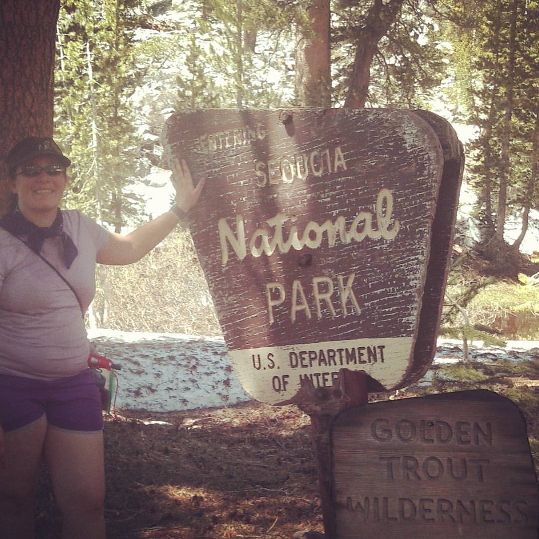
Sequoia National Park, CA, EE. UU.
Camp Nelson, California, EE. UU.
CA-, Porterville, CA, EE. UU.
Cherokee Oaks Dr, Three Rivers, CA, EE. UU.
S Fork Dr, Three Rivers, CA, EE. UU.
Búsquedas recientes
- Horas de salida y puesta de sol de Red Dog Mine, AK, USA
- Horas de salida y puesta de sol de Am Bahnhof, Am bhf, Borken, Germany
- Horas de salida y puesta de sol de 4th St E, Sonoma, CA, EE. UU.
- Horas de salida y puesta de sol de Oakland Ave, Williamsport, PA, EE. UU.
- Horas de salida y puesta de sol de Via Roma, Pieranica CR, Italia
- Horas de salida y puesta de sol de Torre del reloj, Grad, Dubrovnik (Ragusa), Croacia
- Horas de salida y puesta de sol de Trelew, Chubut, Argentina
- Horas de salida y puesta de sol de Hartfords Bluff Cir, Mt Pleasant, SC, EE. UU.
- Horas de salida y puesta de sol de Kita Ward, Kumamoto, Japón
- Horas de salida y puesta de sol de Pingtan Island, Pingtan County, Fuzhou, China