| 時間帯: | アメリカ中部標準時 |
|---|---|
| 現地時間: | 2026年11月21日 土曜日 03:27 |
| 経度: | -84.9075576 |
| 緯度: | 36.4064404 |
| 今日の日の出時刻: | 06:24:26 |
| 今日の日の入時刻: | 16:29:30 |
| 今日の日長: | 10時間5分3秒 |
| 明日の日の出時刻: | 06:25:27 |
| 明日の日の入時刻: | 16:29:01 |
| 明日の日長: | 10時間3分34秒 |
: すべて表示する
| 日付 | 日出 | 日没 | 日長 |
|---|---|---|---|
| 2026年1月1日 | 06:52:23 | 16:35:22 | 9時間42分58秒 |
| 2026年2月1日 | 06:43:10 | 17:05:27 | 10時間22分17秒 |
| 2026年3月1日 | 06:13:02 | 17:34:15 | 11時間21分13秒 |
| 2026年4月1日 | 06:28:24 | 19:01:29 | 12時間33分4秒 |
| 2026年5月1日 | 05:48:44 | 19:27:21 | 13時間38分37秒 |
| 2026年6月1日 | 05:25:01 | 19:52:32 | 14時間27分31秒 |
| 2026年7月1日 | 05:26:06 | 20:02:47 | 14時間36分40秒 |
| 2026年8月1日 | 05:46:26 | 19:48:01 | 14時間1分34秒 |
| 2026年9月1日 | 06:11:37 | 19:11:21 | 12時間59分44秒 |
| 2026年10月1日 | 06:35:04 | 18:26:40 | 11時間51分35秒 |
| 2026年11月1日 | 07:02:55 | 17:46:01 | 10時間43分5秒 |
| 2026年11月21日 | 06:23:25 | 16:30:00 | 10時間6分35秒 |
| 2026年11月22日 | 06:24:26 | 16:29:30 | 10時間5分3秒 |
| 2026年12月1日 | 06:33:14 | 16:26:20 | 9時間53分5秒 |
日の出と日の入りの写真
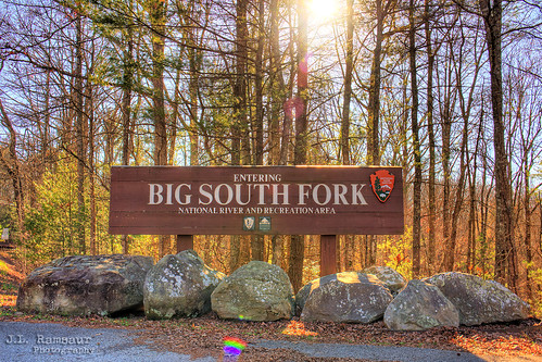
Big South Fork National River and Recreation Area sign - Tennessee & Kentucky by J.L. Ramsaur Photography
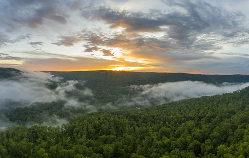
Obey River Gorge, Fentress County, Tennessee 7 by Chuck Sutherland
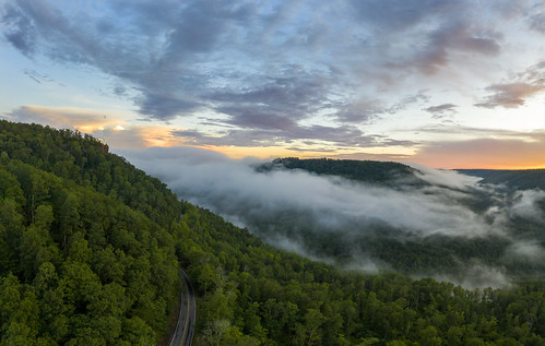
Obey River Gorge, Fentress County, Tennessee 6 by Chuck Sutherland

She flared up, burst out, then left in a huff by Don Ski

Longest night of the year; Goodbye sun by Don Ski

She calls by Don Ski

Burnt Mill Bridge, Big South Fork NRRA, Scott County, Tennessee by Chuck Sutherland

Friday Sunset 3 by Marty Wininger

Friday Sunset 1 by Marty Wininger

Friday Sunset 2 by Marty Wininger

Sunset Overlook by mikerhicks
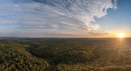
White Oak Creek, Morgan County, Tennessee 1 by Chuck Sutherland

Sunset at Sunset Marina by Marty Wininger

DSCN2906 by Marty Wininger

Moon directly over nest by Marty Wininger

IMG_9268 by manofhg

DSCN3102 by Marty Wininger

nhm-bsf-fall-campout-2017-10-01 18.50.26 by kelstew

Looking East at sunset 2 by Marty Wininger

Looking West at sunset 2 by Marty Wininger

Looking East at sunset by Marty Wininger