| Zona horaria: | hora estándar central |
|---|---|
| Hora local: | sábado, 21 de noviembre de 2026 2:41 |
| Longitud: | -84.9075576 |
| Latitud: | 36.4064404 |
| Amanecer hoy: | 6:24:26 |
| Atardecer hoy: | 16:29:30 |
| Horas de luz hoy: | 10h 5m 3s |
| Amanecer mañana: | 6:25:27 |
| Atardecer mañana: | 16:29:01 |
| Horas de luz mañana: | 10h 3m 34s |
: Mostrar todas las fechas
| Fecha | Salida de sol | Puesta de sol | Duración del día |
|---|---|---|---|
| 1 de ene. de 2026 | 6:52:23 | 16:35:22 | 9h 42m 58s |
| 1 de feb. de 2026 | 6:43:10 | 17:05:27 | 10h 22m 17s |
| 1 de mar. de 2026 | 6:13:02 | 17:34:15 | 11h 21m 13s |
| 1 de abr. de 2026 | 6:28:24 | 19:01:29 | 12h 33m 4s |
| 1 de may. de 2026 | 5:48:44 | 19:27:21 | 13h 38m 37s |
| 1 de jun. de 2026 | 5:25:01 | 19:52:32 | 14h 27m 31s |
| 1 de jul. de 2026 | 5:26:06 | 20:02:47 | 14h 36m 40s |
| 1 de ago. de 2026 | 5:46:26 | 19:48:01 | 14h 1m 34s |
| 1 de sep. de 2026 | 6:11:37 | 19:11:21 | 12h 59m 44s |
| 1 de oct. de 2026 | 6:35:04 | 18:26:40 | 11h 51m 35s |
| 1 de nov. de 2026 | 7:02:55 | 17:46:01 | 10h 43m 5s |
| 21 de nov. de 2026 | 6:23:25 | 16:30:00 | 10h 6m 35s |
| 22 de nov. de 2026 | 6:24:26 | 16:29:30 | 10h 5m 3s |
| 1 de dic. de 2026 | 6:33:14 | 16:26:20 | 9h 53m 5s |
Fotos de amanecer y atardecer
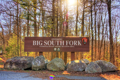
Big South Fork National River and Recreation Area sign - Tennessee & Kentucky by J.L. Ramsaur Photography
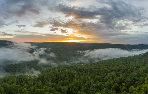
Obey River Gorge, Fentress County, Tennessee 7 by Chuck Sutherland
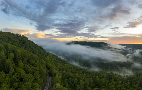
Obey River Gorge, Fentress County, Tennessee 6 by Chuck Sutherland

She flared up, burst out, then left in a huff by Don Ski

Longest night of the year; Goodbye sun by Don Ski

She calls by Don Ski

Burnt Mill Bridge, Big South Fork NRRA, Scott County, Tennessee by Chuck Sutherland

Friday Sunset 3 by Marty Wininger

Friday Sunset 1 by Marty Wininger

Friday Sunset 2 by Marty Wininger

Sunset Overlook by mikerhicks
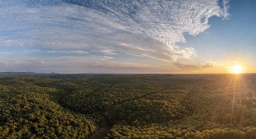
White Oak Creek, Morgan County, Tennessee 1 by Chuck Sutherland

Sunset at Sunset Marina by Marty Wininger

DSCN2906 by Marty Wininger

Moon directly over nest by Marty Wininger

IMG_9268 by manofhg

DSCN3102 by Marty Wininger

nhm-bsf-fall-campout-2017-10-01 18.50.26 by kelstew

Looking East at sunset 2 by Marty Wininger

Looking West at sunset 2 by Marty Wininger

Looking East at sunset by Marty Wininger