アメリカ合衆国 〒 ワシントン州 アバナシー・リッジ日の出日の入り時間
Location: アメリカ合衆国 > ワシントン州 > ウィスロップ >
時間帯:
America/Los_Angeles
現地時間:
2025-07-13 23:44:26
経度:
-120.4911111
緯度:
48.4583333
今日の日の出時刻:
05:16:08 AM
今日の日の入時刻:
08:59:46 PM
今日の日長:
15h 43m 38s
明日の日の出時刻:
05:17:11 AM
明日の日の入時刻:
08:58:54 PM
明日の日長:
15h 41m 43s
すべて表示する
| 日付 | 日出 | 日没 | 日長 |
|---|---|---|---|
| 2025年01月01日 | 07:53:27 AM | 04:18:55 PM | 8h 25m 28s |
| 2025年01月02日 | 07:53:19 AM | 04:19:58 PM | 8h 26m 39s |
| 2025年01月03日 | 07:53:09 AM | 04:21:03 PM | 8h 27m 54s |
| 2025年01月04日 | 07:52:55 AM | 04:22:10 PM | 8h 29m 15s |
| 2025年01月05日 | 07:52:39 AM | 04:23:19 PM | 8h 30m 40s |
| 2025年01月06日 | 07:52:20 AM | 04:24:30 PM | 8h 32m 10s |
| 2025年01月07日 | 07:51:57 AM | 04:25:42 PM | 8h 33m 45s |
| 2025年01月08日 | 07:51:32 AM | 04:26:57 PM | 8h 35m 25s |
| 2025年01月09日 | 07:51:04 AM | 04:28:13 PM | 8h 37m 9s |
| 2025年01月10日 | 07:50:34 AM | 04:29:31 PM | 8h 38m 57s |
| 2025年01月11日 | 07:50:00 AM | 04:30:51 PM | 8h 40m 51s |
| 2025年01月12日 | 07:49:24 AM | 04:32:12 PM | 8h 42m 48s |
| 2025年01月13日 | 07:48:45 AM | 04:33:34 PM | 8h 44m 49s |
| 2025年01月14日 | 07:48:03 AM | 04:34:58 PM | 8h 46m 55s |
| 2025年01月15日 | 07:47:19 AM | 04:36:23 PM | 8h 49m 4s |
| 2025年01月16日 | 07:46:32 AM | 04:37:49 PM | 8h 51m 17s |
| 2025年01月17日 | 07:45:42 AM | 04:39:17 PM | 8h 53m 35s |
| 2025年01月18日 | 07:44:50 AM | 04:40:45 PM | 8h 55m 55s |
| 2025年01月19日 | 07:43:56 AM | 04:42:15 PM | 8h 58m 19s |
| 2025年01月20日 | 07:42:59 AM | 04:43:45 PM | 9h 0m 46s |
| 2025年01月21日 | 07:41:59 AM | 04:45:17 PM | 9h 3m 18s |
| 2025年01月22日 | 07:40:57 AM | 04:46:49 PM | 9h 5m 52s |
| 2025年01月23日 | 07:39:53 AM | 04:48:22 PM | 9h 8m 29s |
| 2025年01月24日 | 07:38:47 AM | 04:49:55 PM | 9h 11m 8s |
| 2025年01月25日 | 07:37:38 AM | 04:51:30 PM | 9h 13m 52s |
| 2025年01月26日 | 07:36:28 AM | 04:53:04 PM | 9h 16m 36s |
| 2025年01月27日 | 07:35:15 AM | 04:54:40 PM | 9h 19m 25s |
| 2025年01月28日 | 07:34:00 AM | 04:56:15 PM | 9h 22m 15s |
| 2025年01月29日 | 07:32:43 AM | 04:57:52 PM | 9h 25m 9s |
| 2025年01月30日 | 07:31:24 AM | 04:59:28 PM | 9h 28m 4s |
| 2025年01月31日 | 07:30:03 AM | 05:01:05 PM | 9h 31m 2s |
| 2025年02月01日 | 07:28:40 AM | 05:02:42 PM | 9h 34m 2s |
| 2025年02月02日 | 07:27:16 AM | 05:04:19 PM | 9h 37m 3s |
| 2025年02月03日 | 07:25:49 AM | 05:05:57 PM | 9h 40m 8s |
| 2025年02月04日 | 07:24:21 AM | 05:07:34 PM | 9h 43m 13s |
| 2025年02月05日 | 07:22:51 AM | 05:09:12 PM | 9h 46m 21s |
| 2025年02月06日 | 07:21:20 AM | 05:10:49 PM | 9h 49m 29s |
| 2025年02月07日 | 07:19:47 AM | 05:12:27 PM | 9h 52m 40s |
| 2025年02月08日 | 07:18:12 AM | 05:14:05 PM | 9h 55m 53s |
| 2025年02月09日 | 07:16:36 AM | 05:15:43 PM | 9h 59m 7s |
| 2025年02月10日 | 07:14:58 AM | 05:17:20 PM | 10h 2m 22s |
| 2025年02月11日 | 07:13:19 AM | 05:18:58 PM | 10h 5m 39s |
| 2025年02月12日 | 07:11:38 AM | 05:20:35 PM | 10h 8m 57s |
| 2025年02月13日 | 07:09:57 AM | 05:22:12 PM | 10h 12m 15s |
| 2025年02月14日 | 07:08:13 AM | 05:23:50 PM | 10h 15m 37s |
| 2025年02月15日 | 07:06:29 AM | 05:25:26 PM | 10h 18m 57s |
| 2025年02月16日 | 07:04:44 AM | 05:27:03 PM | 10h 22m 19s |
| 2025年02月17日 | 07:02:57 AM | 05:28:40 PM | 10h 25m 43s |
| 2025年02月18日 | 07:01:09 AM | 05:30:16 PM | 10h 29m 7s |
| 2025年02月19日 | 06:59:20 AM | 05:31:52 PM | 10h 32m 32s |
| 2025年02月20日 | 06:57:30 AM | 05:33:28 PM | 10h 35m 58s |
| 2025年02月21日 | 06:55:39 AM | 05:35:04 PM | 10h 39m 25s |
| 2025年02月22日 | 06:53:47 AM | 05:36:39 PM | 10h 42m 52s |
| 2025年02月23日 | 06:51:54 AM | 05:38:14 PM | 10h 46m 20s |
| 2025年02月24日 | 06:50:00 AM | 05:39:49 PM | 10h 49m 49s |
| 2025年02月25日 | 06:48:05 AM | 05:41:23 PM | 10h 53m 18s |
| 2025年02月26日 | 06:46:10 AM | 05:42:58 PM | 10h 56m 48s |
| 2025年02月27日 | 06:44:14 AM | 05:44:32 PM | 11h 0m 18s |
| 2025年02月28日 | 06:42:17 AM | 05:46:05 PM | 11h 3m 48s |
| 2025年03月01日 | 06:40:19 AM | 05:47:39 PM | 11h 7m 20s |
| 2025年03月02日 | 06:38:20 AM | 05:49:12 PM | 11h 10m 52s |
| 2025年03月03日 | 06:36:21 AM | 05:50:45 PM | 11h 14m 24s |
| 2025年03月04日 | 06:34:22 AM | 05:52:17 PM | 11h 17m 55s |
| 2025年03月05日 | 06:32:22 AM | 05:53:50 PM | 11h 21m 28s |
| 2025年03月06日 | 06:30:21 AM | 05:55:22 PM | 11h 25m 1s |
| 2025年03月07日 | 06:28:20 AM | 05:56:54 PM | 11h 28m 34s |
| 2025年03月08日 | 06:26:18 AM | 05:58:25 PM | 11h 32m 7s |
| 2025年03月09日 | 07:24:21 AM | 06:59:53 PM | 11h 35m 32s |
| 2025年03月10日 | 07:22:18 AM | 07:01:24 PM | 11h 39m 6s |
| 2025年03月11日 | 07:20:15 AM | 07:02:55 PM | 11h 42m 40s |
| 2025年03月12日 | 07:18:12 AM | 07:04:25 PM | 11h 46m 13s |
| 2025年03月13日 | 07:16:08 AM | 07:05:56 PM | 11h 49m 48s |
| 2025年03月14日 | 07:14:04 AM | 07:07:26 PM | 11h 53m 22s |
| 2025年03月15日 | 07:12:00 AM | 07:08:56 PM | 11h 56m 56s |
| 2025年03月16日 | 07:09:56 AM | 07:10:26 PM | 12h 0m 30s |
| 2025年03月17日 | 07:07:52 AM | 07:11:55 PM | 12h 4m 3s |
| 2025年03月18日 | 07:05:47 AM | 07:13:25 PM | 12h 7m 38s |
| 2025年03月19日 | 07:03:42 AM | 07:14:54 PM | 12h 11m 12s |
| 2025年03月20日 | 07:01:37 AM | 07:16:24 PM | 12h 14m 47s |
| 2025年03月21日 | 06:59:32 AM | 07:17:53 PM | 12h 18m 21s |
| 2025年03月22日 | 06:57:27 AM | 07:19:22 PM | 12h 21m 55s |
| 2025年03月23日 | 06:55:22 AM | 07:20:50 PM | 12h 25m 28s |
| 2025年03月24日 | 06:53:18 AM | 07:22:19 PM | 12h 29m 1s |
| 2025年03月25日 | 06:51:13 AM | 07:23:48 PM | 12h 32m 35s |
| 2025年03月26日 | 06:49:08 AM | 07:25:16 PM | 12h 36m 8s |
| 2025年03月27日 | 06:47:03 AM | 07:26:45 PM | 12h 39m 42s |
| 2025年03月28日 | 06:44:59 AM | 07:28:13 PM | 12h 43m 14s |
| 2025年03月29日 | 06:42:55 AM | 07:29:41 PM | 12h 46m 46s |
| 2025年03月30日 | 06:40:51 AM | 07:31:10 PM | 12h 50m 19s |
| 2025年03月31日 | 06:38:47 AM | 07:32:38 PM | 12h 53m 51s |
| 2025年04月01日 | 06:36:43 AM | 07:34:06 PM | 12h 57m 23s |
| 2025年04月02日 | 06:34:40 AM | 07:35:34 PM | 13h 0m 54s |
| 2025年04月03日 | 06:32:37 AM | 07:37:02 PM | 13h 4m 25s |
| 2025年04月04日 | 06:30:35 AM | 07:38:30 PM | 13h 7m 55s |
| 2025年04月05日 | 06:28:33 AM | 07:39:58 PM | 13h 11m 25s |
| 2025年04月06日 | 06:26:31 AM | 07:41:26 PM | 13h 14m 55s |
| 2025年04月07日 | 06:24:30 AM | 07:42:54 PM | 13h 18m 24s |
| 2025年04月08日 | 06:22:30 AM | 07:44:22 PM | 13h 21m 52s |
| 2025年04月09日 | 06:20:29 AM | 07:45:50 PM | 13h 25m 21s |
| 2025年04月10日 | 06:18:30 AM | 07:47:18 PM | 13h 28m 48s |
| 2025年04月11日 | 06:16:31 AM | 07:48:46 PM | 13h 32m 15s |
| 2025年04月12日 | 06:14:33 AM | 07:50:14 PM | 13h 35m 41s |
| 2025年04月13日 | 06:12:35 AM | 07:51:42 PM | 13h 39m 7s |
| 2025年04月14日 | 06:10:38 AM | 07:53:10 PM | 13h 42m 32s |
| 2025年04月15日 | 06:08:42 AM | 07:54:38 PM | 13h 45m 56s |
| 2025年04月16日 | 06:06:47 AM | 07:56:06 PM | 13h 49m 19s |
| 2025年04月17日 | 06:04:53 AM | 07:57:33 PM | 13h 52m 40s |
| 2025年04月18日 | 06:02:59 AM | 07:59:01 PM | 13h 56m 2s |
| 2025年04月19日 | 06:01:06 AM | 08:00:29 PM | 13h 59m 23s |
| 2025年04月20日 | 05:59:14 AM | 08:01:57 PM | 14h 2m 43s |
| 2025年04月21日 | 05:57:23 AM | 08:03:24 PM | 14h 6m 1s |
| 2025年04月22日 | 05:55:34 AM | 08:04:52 PM | 14h 9m 18s |
| 2025年04月23日 | 05:53:45 AM | 08:06:19 PM | 14h 12m 34s |
| 2025年04月24日 | 05:51:57 AM | 08:07:47 PM | 14h 15m 50s |
| 2025年04月25日 | 05:50:10 AM | 08:09:14 PM | 14h 19m 4s |
| 2025年04月26日 | 05:48:25 AM | 08:10:41 PM | 14h 22m 16s |
| 2025年04月27日 | 05:46:41 AM | 08:12:08 PM | 14h 25m 27s |
| 2025年04月28日 | 05:44:58 AM | 08:13:34 PM | 14h 28m 36s |
| 2025年04月29日 | 05:43:16 AM | 08:15:01 PM | 14h 31m 45s |
| 2025年04月30日 | 05:41:35 AM | 08:16:27 PM | 14h 34m 52s |
| 2025年05月01日 | 05:39:56 AM | 08:17:53 PM | 14h 37m 57s |
| 2025年05月02日 | 05:38:18 AM | 08:19:18 PM | 14h 41m 0s |
| 2025年05月03日 | 05:36:42 AM | 08:20:44 PM | 14h 44m 2s |
| 2025年05月04日 | 05:35:07 AM | 08:22:08 PM | 14h 47m 1s |
| 2025年05月05日 | 05:33:34 AM | 08:23:33 PM | 14h 49m 59s |
| 2025年05月06日 | 05:32:02 AM | 08:24:57 PM | 14h 52m 55s |
| 2025年05月07日 | 05:30:32 AM | 08:26:21 PM | 14h 55m 49s |
| 2025年05月08日 | 05:29:04 AM | 08:27:44 PM | 14h 58m 40s |
| 2025年05月09日 | 05:27:37 AM | 08:29:06 PM | 15h 1m 29s |
| 2025年05月10日 | 05:26:12 AM | 08:30:29 PM | 15h 4m 17s |
| 2025年05月11日 | 05:24:48 AM | 08:31:50 PM | 15h 7m 2s |
| 2025年05月12日 | 05:23:27 AM | 08:33:11 PM | 15h 9m 44s |
| 2025年05月13日 | 05:22:07 AM | 08:34:31 PM | 15h 12m 24s |
| 2025年05月14日 | 05:20:49 AM | 08:35:50 PM | 15h 15m 1s |
| 2025年05月15日 | 05:19:34 AM | 08:37:08 PM | 15h 17m 34s |
| 2025年05月16日 | 05:18:20 AM | 08:38:26 PM | 15h 20m 6s |
| 2025年05月17日 | 05:17:08 AM | 08:39:43 PM | 15h 22m 35s |
| 2025年05月18日 | 05:15:58 AM | 08:40:58 PM | 15h 25m 0s |
| 2025年05月19日 | 05:14:51 AM | 08:42:13 PM | 15h 27m 22s |
| 2025年05月20日 | 05:13:45 AM | 08:43:26 PM | 15h 29m 41s |
| 2025年05月21日 | 05:12:42 AM | 08:44:39 PM | 15h 31m 57s |
| 2025年05月22日 | 05:11:41 AM | 08:45:50 PM | 15h 34m 9s |
| 2025年05月23日 | 05:10:42 AM | 08:47:00 PM | 15h 36m 18s |
| 2025年05月24日 | 05:09:45 AM | 08:48:09 PM | 15h 38m 24s |
| 2025年05月25日 | 05:08:51 AM | 08:49:16 PM | 15h 40m 25s |
| 2025年05月26日 | 05:07:59 AM | 08:50:22 PM | 15h 42m 23s |
| 2025年05月27日 | 05:07:10 AM | 08:51:27 PM | 15h 44m 17s |
| 2025年05月28日 | 05:06:23 AM | 08:52:30 PM | 15h 46m 7s |
| 2025年05月29日 | 05:05:38 AM | 08:53:31 PM | 15h 47m 53s |
| 2025年05月30日 | 05:04:56 AM | 08:54:31 PM | 15h 49m 35s |
| 2025年05月31日 | 05:04:16 AM | 08:55:29 PM | 15h 51m 13s |
| 2025年06月01日 | 05:03:39 AM | 08:56:25 PM | 15h 52m 46s |
| 2025年06月02日 | 05:03:05 AM | 08:57:20 PM | 15h 54m 15s |
| 2025年06月03日 | 05:02:33 AM | 08:58:12 PM | 15h 55m 39s |
| 2025年06月04日 | 05:02:04 AM | 08:59:03 PM | 15h 56m 59s |
| 2025年06月05日 | 05:01:37 AM | 08:59:51 PM | 15h 58m 14s |
| 2025年06月06日 | 05:01:13 AM | 09:00:38 PM | 15h 59m 25s |
| 2025年06月07日 | 05:00:52 AM | 09:01:22 PM | 16h 0m 30s |
| 2025年06月08日 | 05:00:33 AM | 09:02:05 PM | 16h 1m 32s |
| 2025年06月09日 | 05:00:17 AM | 09:02:45 PM | 16h 2m 28s |
| 2025年06月10日 | 05:00:04 AM | 09:03:22 PM | 16h 3m 18s |
| 2025年06月11日 | 04:59:53 AM | 09:03:58 PM | 16h 4m 5s |
| 2025年06月12日 | 04:59:45 AM | 09:04:31 PM | 16h 4m 46s |
| 2025年06月13日 | 04:59:40 AM | 09:05:02 PM | 16h 5m 22s |
| 2025年06月14日 | 04:59:37 AM | 09:05:30 PM | 16h 5m 53s |
| 2025年06月15日 | 04:59:37 AM | 09:05:56 PM | 16h 6m 19s |
| 2025年06月16日 | 04:59:40 AM | 09:06:19 PM | 16h 6m 39s |
| 2025年06月17日 | 04:59:45 AM | 09:06:40 PM | 16h 6m 55s |
| 2025年06月18日 | 04:59:53 AM | 09:06:58 PM | 16h 7m 5s |
| 2025年06月19日 | 05:00:04 AM | 09:07:14 PM | 16h 7m 10s |
| 2025年06月20日 | 05:00:17 AM | 09:07:27 PM | 16h 7m 10s |
| 2025年06月21日 | 05:00:32 AM | 09:07:37 PM | 16h 7m 5s |
| 2025年06月22日 | 05:00:51 AM | 09:07:45 PM | 16h 6m 54s |
| 2025年06月23日 | 05:01:11 AM | 09:07:50 PM | 16h 6m 39s |
| 2025年06月24日 | 05:01:35 AM | 09:07:52 PM | 16h 6m 17s |
| 2025年06月25日 | 05:02:00 AM | 09:07:52 PM | 16h 5m 52s |
| 2025年06月26日 | 05:02:28 AM | 09:07:49 PM | 16h 5m 21s |
| 2025年06月27日 | 05:02:59 AM | 09:07:43 PM | 16h 4m 44s |
| 2025年06月28日 | 05:03:31 AM | 09:07:34 PM | 16h 4m 3s |
| 2025年06月29日 | 05:04:06 AM | 09:07:23 PM | 16h 3m 17s |
| 2025年06月30日 | 05:04:43 AM | 09:07:09 PM | 16h 2m 26s |
| 2025年07月01日 | 05:05:23 AM | 09:06:52 PM | 16h 1m 29s |
| 2025年07月02日 | 05:06:04 AM | 09:06:33 PM | 16h 0m 29s |
| 2025年07月03日 | 05:06:48 AM | 09:06:10 PM | 15h 59m 22s |
| 2025年07月04日 | 05:07:33 AM | 09:05:46 PM | 15h 58m 13s |
| 2025年07月05日 | 05:08:21 AM | 09:05:18 PM | 15h 56m 57s |
| 2025年07月06日 | 05:09:10 AM | 09:04:48 PM | 15h 55m 38s |
| 2025年07月07日 | 05:10:01 AM | 09:04:15 PM | 15h 54m 14s |
| 2025年07月08日 | 05:10:55 AM | 09:03:40 PM | 15h 52m 45s |
| 2025年07月09日 | 05:11:49 AM | 09:03:02 PM | 15h 51m 13s |
| 2025年07月10日 | 05:12:46 AM | 09:02:21 PM | 15h 49m 35s |
| 2025年07月11日 | 05:13:44 AM | 09:01:38 PM | 15h 47m 54s |
| 2025年07月12日 | 05:14:44 AM | 09:00:52 PM | 15h 46m 8s |
| 2025年07月13日 | 05:15:45 AM | 09:00:04 PM | 15h 44m 19s |
| 2025年07月14日 | 05:16:48 AM | 08:59:14 PM | 15h 42m 26s |
| 2025年07月15日 | 05:17:52 AM | 08:58:21 PM | 15h 40m 29s |
| 2025年07月16日 | 05:18:57 AM | 08:57:25 PM | 15h 38m 28s |
| 2025年07月17日 | 05:20:04 AM | 08:56:28 PM | 15h 36m 24s |
| 2025年07月18日 | 05:21:11 AM | 08:55:28 PM | 15h 34m 17s |
| 2025年07月19日 | 05:22:20 AM | 08:54:25 PM | 15h 32m 5s |
| 2025年07月20日 | 05:23:30 AM | 08:53:21 PM | 15h 29m 51s |
| 2025年07月21日 | 05:24:42 AM | 08:52:14 PM | 15h 27m 32s |
| 2025年07月22日 | 05:25:54 AM | 08:51:05 PM | 15h 25m 11s |
| 2025年07月23日 | 05:27:07 AM | 08:49:54 PM | 15h 22m 47s |
| 2025年07月24日 | 05:28:21 AM | 08:48:41 PM | 15h 20m 20s |
| 2025年07月25日 | 05:29:36 AM | 08:47:26 PM | 15h 17m 50s |
| 2025年07月26日 | 05:30:51 AM | 08:46:09 PM | 15h 15m 18s |
| 2025年07月27日 | 05:32:07 AM | 08:44:50 PM | 15h 12m 43s |
| 2025年07月28日 | 05:33:24 AM | 08:43:30 PM | 15h 10m 6s |
| 2025年07月29日 | 05:34:42 AM | 08:42:07 PM | 15h 7m 25s |
| 2025年07月30日 | 05:36:00 AM | 08:40:42 PM | 15h 4m 42s |
| 2025年07月31日 | 05:37:19 AM | 08:39:16 PM | 15h 1m 57s |
| 2025年08月01日 | 05:38:38 AM | 08:37:48 PM | 14h 59m 10s |
| 2025年08月02日 | 05:39:58 AM | 08:36:18 PM | 14h 56m 20s |
| 2025年08月03日 | 05:41:18 AM | 08:34:47 PM | 14h 53m 29s |
| 2025年08月04日 | 05:42:39 AM | 08:33:14 PM | 14h 50m 35s |
| 2025年08月05日 | 05:44:00 AM | 08:31:39 PM | 14h 47m 39s |
| 2025年08月06日 | 05:45:21 AM | 08:30:03 PM | 14h 44m 42s |
| 2025年08月07日 | 05:46:43 AM | 08:28:26 PM | 14h 41m 43s |
| 2025年08月08日 | 05:48:05 AM | 08:26:47 PM | 14h 38m 42s |
| 2025年08月09日 | 05:49:27 AM | 08:25:07 PM | 14h 35m 40s |
| 2025年08月10日 | 05:50:49 AM | 08:23:25 PM | 14h 32m 36s |
| 2025年08月11日 | 05:52:12 AM | 08:21:42 PM | 14h 29m 30s |
| 2025年08月12日 | 05:53:35 AM | 08:19:57 PM | 14h 26m 22s |
| 2025年08月13日 | 05:54:57 AM | 08:18:12 PM | 14h 23m 15s |
| 2025年08月14日 | 05:56:20 AM | 08:16:25 PM | 14h 20m 5s |
| 2025年08月15日 | 05:57:44 AM | 08:14:37 PM | 14h 16m 53s |
| 2025年08月16日 | 05:59:07 AM | 08:12:48 PM | 14h 13m 41s |
| 2025年08月17日 | 06:00:30 AM | 08:10:58 PM | 14h 10m 28s |
| 2025年08月18日 | 06:01:53 AM | 08:09:07 PM | 14h 7m 14s |
| 2025年08月19日 | 06:03:17 AM | 08:07:15 PM | 14h 3m 58s |
| 2025年08月20日 | 06:04:40 AM | 08:05:22 PM | 14h 0m 42s |
| 2025年08月21日 | 06:06:03 AM | 08:03:28 PM | 13h 57m 25s |
| 2025年08月22日 | 06:07:27 AM | 08:01:33 PM | 13h 54m 6s |
| 2025年08月23日 | 06:08:50 AM | 07:59:37 PM | 13h 50m 47s |
| 2025年08月24日 | 06:10:14 AM | 07:57:40 PM | 13h 47m 26s |
| 2025年08月25日 | 06:11:37 AM | 07:55:43 PM | 13h 44m 6s |
| 2025年08月26日 | 06:13:00 AM | 07:53:45 PM | 13h 40m 45s |
| 2025年08月27日 | 06:14:24 AM | 07:51:46 PM | 13h 37m 22s |
| 2025年08月28日 | 06:15:47 AM | 07:49:46 PM | 13h 33m 59s |
| 2025年08月29日 | 06:17:11 AM | 07:47:46 PM | 13h 30m 35s |
| 2025年08月30日 | 06:18:34 AM | 07:45:45 PM | 13h 27m 11s |
| 2025年08月31日 | 06:19:57 AM | 07:43:44 PM | 13h 23m 47s |
| 2025年09月01日 | 06:21:20 AM | 07:41:42 PM | 13h 20m 22s |
| 2025年09月02日 | 06:22:44 AM | 07:39:39 PM | 13h 16m 55s |
| 2025年09月03日 | 06:24:07 AM | 07:37:36 PM | 13h 13m 29s |
| 2025年09月04日 | 06:25:30 AM | 07:35:33 PM | 13h 10m 3s |
| 2025年09月05日 | 06:26:53 AM | 07:33:29 PM | 13h 6m 36s |
| 2025年09月06日 | 06:28:17 AM | 07:31:25 PM | 13h 3m 8s |
| 2025年09月07日 | 06:29:40 AM | 07:29:20 PM | 12h 59m 40s |
| 2025年09月08日 | 06:31:03 AM | 07:27:15 PM | 12h 56m 12s |
| 2025年09月09日 | 06:32:27 AM | 07:25:10 PM | 12h 52m 43s |
| 2025年09月10日 | 06:33:50 AM | 07:23:04 PM | 12h 49m 14s |
| 2025年09月11日 | 06:35:13 AM | 07:20:58 PM | 12h 45m 45s |
| 2025年09月12日 | 06:36:37 AM | 07:18:52 PM | 12h 42m 15s |
| 2025年09月13日 | 06:38:00 AM | 07:16:46 PM | 12h 38m 46s |
| 2025年09月14日 | 06:39:23 AM | 07:14:40 PM | 12h 35m 17s |
| 2025年09月15日 | 06:40:47 AM | 07:12:33 PM | 12h 31m 46s |
| 2025年09月16日 | 06:42:11 AM | 07:10:27 PM | 12h 28m 16s |
| 2025年09月17日 | 06:43:34 AM | 07:08:20 PM | 12h 24m 46s |
| 2025年09月18日 | 06:44:58 AM | 07:06:14 PM | 12h 21m 16s |
| 2025年09月19日 | 06:46:22 AM | 07:04:07 PM | 12h 17m 45s |
| 2025年09月20日 | 06:47:46 AM | 07:02:00 PM | 12h 14m 14s |
| 2025年09月21日 | 06:49:11 AM | 06:59:54 PM | 12h 10m 43s |
| 2025年09月22日 | 06:50:35 AM | 06:57:47 PM | 12h 7m 12s |
| 2025年09月23日 | 06:51:59 AM | 06:55:41 PM | 12h 3m 42s |
| 2025年09月24日 | 06:53:24 AM | 06:53:35 PM | 12h 0m 11s |
| 2025年09月25日 | 06:54:49 AM | 06:51:29 PM | 11h 56m 40s |
| 2025年09月26日 | 06:56:14 AM | 06:49:23 PM | 11h 53m 9s |
| 2025年09月27日 | 06:57:39 AM | 06:47:17 PM | 11h 49m 38s |
| 2025年09月28日 | 06:59:05 AM | 06:45:12 PM | 11h 46m 7s |
| 2025年09月29日 | 07:00:30 AM | 06:43:07 PM | 11h 42m 37s |
| 2025年09月30日 | 07:01:56 AM | 06:41:02 PM | 11h 39m 6s |
| 2025年10月01日 | 07:03:22 AM | 06:38:58 PM | 11h 35m 36s |
| 2025年10月02日 | 07:04:49 AM | 06:36:54 PM | 11h 32m 5s |
| 2025年10月03日 | 07:06:16 AM | 06:34:51 PM | 11h 28m 35s |
| 2025年10月04日 | 07:07:42 AM | 06:32:48 PM | 11h 25m 6s |
| 2025年10月05日 | 07:09:10 AM | 06:30:45 PM | 11h 21m 35s |
| 2025年10月06日 | 07:10:37 AM | 06:28:43 PM | 11h 18m 6s |
| 2025年10月07日 | 07:12:05 AM | 06:26:42 PM | 11h 14m 37s |
| 2025年10月08日 | 07:13:33 AM | 06:24:41 PM | 11h 11m 8s |
| 2025年10月09日 | 07:15:01 AM | 06:22:41 PM | 11h 7m 40s |
| 2025年10月10日 | 07:16:30 AM | 06:20:41 PM | 11h 4m 11s |
| 2025年10月11日 | 07:17:59 AM | 06:18:42 PM | 11h 0m 43s |
| 2025年10月12日 | 07:19:28 AM | 06:16:44 PM | 10h 57m 16s |
| 2025年10月13日 | 07:20:57 AM | 06:14:47 PM | 10h 53m 50s |
| 2025年10月14日 | 07:22:27 AM | 06:12:50 PM | 10h 50m 23s |
| 2025年10月15日 | 07:23:57 AM | 06:10:55 PM | 10h 46m 58s |
| 2025年10月16日 | 07:25:28 AM | 06:09:00 PM | 10h 43m 32s |
| 2025年10月17日 | 07:26:58 AM | 06:07:06 PM | 10h 40m 8s |
| 2025年10月18日 | 07:28:29 AM | 06:05:13 PM | 10h 36m 44s |
| 2025年10月19日 | 07:30:01 AM | 06:03:21 PM | 10h 33m 20s |
| 2025年10月20日 | 07:31:32 AM | 06:01:30 PM | 10h 29m 58s |
| 2025年10月21日 | 07:33:04 AM | 05:59:40 PM | 10h 26m 36s |
| 2025年10月22日 | 07:34:36 AM | 05:57:51 PM | 10h 23m 15s |
| 2025年10月23日 | 07:36:08 AM | 05:56:04 PM | 10h 19m 56s |
| 2025年10月24日 | 07:37:41 AM | 05:54:17 PM | 10h 16m 36s |
| 2025年10月25日 | 07:39:14 AM | 05:52:32 PM | 10h 13m 18s |
| 2025年10月26日 | 07:40:47 AM | 05:50:48 PM | 10h 10m 1s |
| 2025年10月27日 | 07:42:20 AM | 05:49:06 PM | 10h 6m 46s |
| 2025年10月28日 | 07:43:53 AM | 05:47:24 PM | 10h 3m 31s |
| 2025年10月29日 | 07:45:27 AM | 05:45:45 PM | 10h 0m 18s |
| 2025年10月30日 | 07:47:00 AM | 05:44:06 PM | 9h 57m 6s |
| 2025年10月31日 | 07:48:34 AM | 05:42:29 PM | 9h 53m 55s |
| 2025年11月01日 | 07:50:08 AM | 05:40:54 PM | 9h 50m 46s |
| 2025年11月02日 | 06:51:46 AM | 04:39:16 PM | 9h 47m 30s |
| 2025年11月03日 | 06:53:20 AM | 04:37:44 PM | 9h 44m 24s |
| 2025年11月04日 | 06:54:54 AM | 04:36:13 PM | 9h 41m 19s |
| 2025年11月05日 | 06:56:27 AM | 04:34:45 PM | 9h 38m 18s |
| 2025年11月06日 | 06:58:01 AM | 04:33:18 PM | 9h 35m 17s |
| 2025年11月07日 | 06:59:35 AM | 04:31:53 PM | 9h 32m 18s |
| 2025年11月08日 | 07:01:08 AM | 04:30:29 PM | 9h 29m 21s |
| 2025年11月09日 | 07:02:41 AM | 04:29:08 PM | 9h 26m 27s |
| 2025年11月10日 | 07:04:14 AM | 04:27:48 PM | 9h 23m 34s |
| 2025年11月11日 | 07:05:47 AM | 04:26:31 PM | 9h 20m 44s |
| 2025年11月12日 | 07:07:19 AM | 04:25:16 PM | 9h 17m 57s |
| 2025年11月13日 | 07:08:51 AM | 04:24:02 PM | 9h 15m 11s |
| 2025年11月14日 | 07:10:23 AM | 04:22:51 PM | 9h 12m 28s |
| 2025年11月15日 | 07:11:54 AM | 04:21:42 PM | 9h 9m 48s |
| 2025年11月16日 | 07:13:24 AM | 04:20:35 PM | 9h 7m 11s |
| 2025年11月17日 | 07:14:54 AM | 04:19:31 PM | 9h 4m 37s |
| 2025年11月18日 | 07:16:23 AM | 04:18:29 PM | 9h 2m 6s |
| 2025年11月19日 | 07:17:51 AM | 04:17:29 PM | 8h 59m 38s |
| 2025年11月20日 | 07:19:19 AM | 04:16:32 PM | 8h 57m 13s |
| 2025年11月21日 | 07:20:45 AM | 04:15:37 PM | 8h 54m 52s |
| 2025年11月22日 | 07:22:11 AM | 04:14:45 PM | 8h 52m 34s |
| 2025年11月23日 | 07:23:36 AM | 04:13:55 PM | 8h 50m 19s |
| 2025年11月24日 | 07:24:59 AM | 04:13:08 PM | 8h 48m 9s |
| 2025年11月25日 | 07:26:22 AM | 04:12:23 PM | 8h 46m 1s |
| 2025年11月26日 | 07:27:43 AM | 04:11:41 PM | 8h 43m 58s |
| 2025年11月27日 | 07:29:03 AM | 04:11:02 PM | 8h 41m 59s |
| 2025年11月28日 | 07:30:21 AM | 04:10:26 PM | 8h 40m 5s |
| 2025年11月29日 | 07:31:39 AM | 04:09:52 PM | 8h 38m 13s |
| 2025年11月30日 | 07:32:54 AM | 04:09:22 PM | 8h 36m 28s |
| 2025年12月01日 | 07:34:08 AM | 04:08:54 PM | 8h 34m 46s |
| 2025年12月02日 | 07:35:20 AM | 04:08:29 PM | 8h 33m 9s |
| 2025年12月03日 | 07:36:31 AM | 04:08:07 PM | 8h 31m 36s |
| 2025年12月04日 | 07:37:40 AM | 04:07:47 PM | 8h 30m 7s |
| 2025年12月05日 | 07:38:47 AM | 04:07:31 PM | 8h 28m 44s |
| 2025年12月06日 | 07:39:52 AM | 04:07:18 PM | 8h 27m 26s |
| 2025年12月07日 | 07:40:55 AM | 04:07:08 PM | 8h 26m 13s |
| 2025年12月08日 | 07:41:56 AM | 04:07:00 PM | 8h 25m 4s |
| 2025年12月09日 | 07:42:54 AM | 04:06:56 PM | 8h 24m 2s |
| 2025年12月10日 | 07:43:51 AM | 04:06:55 PM | 8h 23m 4s |
| 2025年12月11日 | 07:44:45 AM | 04:06:57 PM | 8h 22m 12s |
| 2025年12月12日 | 07:45:37 AM | 04:07:01 PM | 8h 21m 24s |
| 2025年12月13日 | 07:46:26 AM | 04:07:09 PM | 8h 20m 43s |
| 2025年12月14日 | 07:47:13 AM | 04:07:20 PM | 8h 20m 7s |
| 2025年12月15日 | 07:47:58 AM | 04:07:34 PM | 8h 19m 36s |
| 2025年12月16日 | 07:48:39 AM | 04:07:51 PM | 8h 19m 12s |
| 2025年12月17日 | 07:49:19 AM | 04:08:10 PM | 8h 18m 51s |
| 2025年12月18日 | 07:49:55 AM | 04:08:33 PM | 8h 18m 38s |
| 2025年12月19日 | 07:50:29 AM | 04:08:59 PM | 8h 18m 30s |
| 2025年12月20日 | 07:51:00 AM | 04:09:27 PM | 8h 18m 27s |
| 2025年12月21日 | 07:51:28 AM | 04:09:59 PM | 8h 18m 31s |
| 2025年12月22日 | 07:51:54 AM | 04:10:33 PM | 8h 18m 39s |
| 2025年12月23日 | 07:52:16 AM | 04:11:10 PM | 8h 18m 54s |
| 2025年12月24日 | 07:52:36 AM | 04:11:50 PM | 8h 19m 14s |
| 2025年12月25日 | 07:52:53 AM | 04:12:32 PM | 8h 19m 39s |
| 2025年12月26日 | 07:53:07 AM | 04:13:17 PM | 8h 20m 10s |
| 2025年12月27日 | 07:53:18 AM | 04:14:05 PM | 8h 20m 47s |
| 2025年12月28日 | 07:53:26 AM | 04:14:55 PM | 8h 21m 29s |
| 2025年12月29日 | 07:53:31 AM | 04:15:48 PM | 8h 22m 17s |
| 2025年12月30日 | 07:53:33 AM | 04:16:43 PM | 8h 23m 10s |
| 2025年12月31日 | 07:53:32 AM | 04:17:41 PM | 8h 24m 9s |
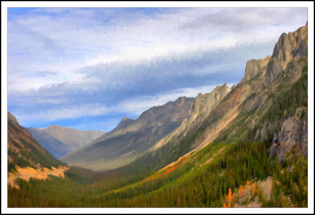
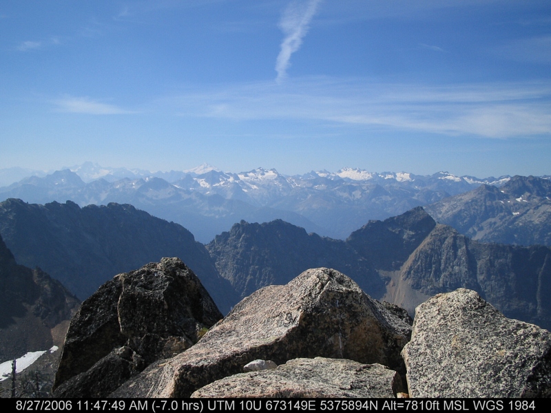
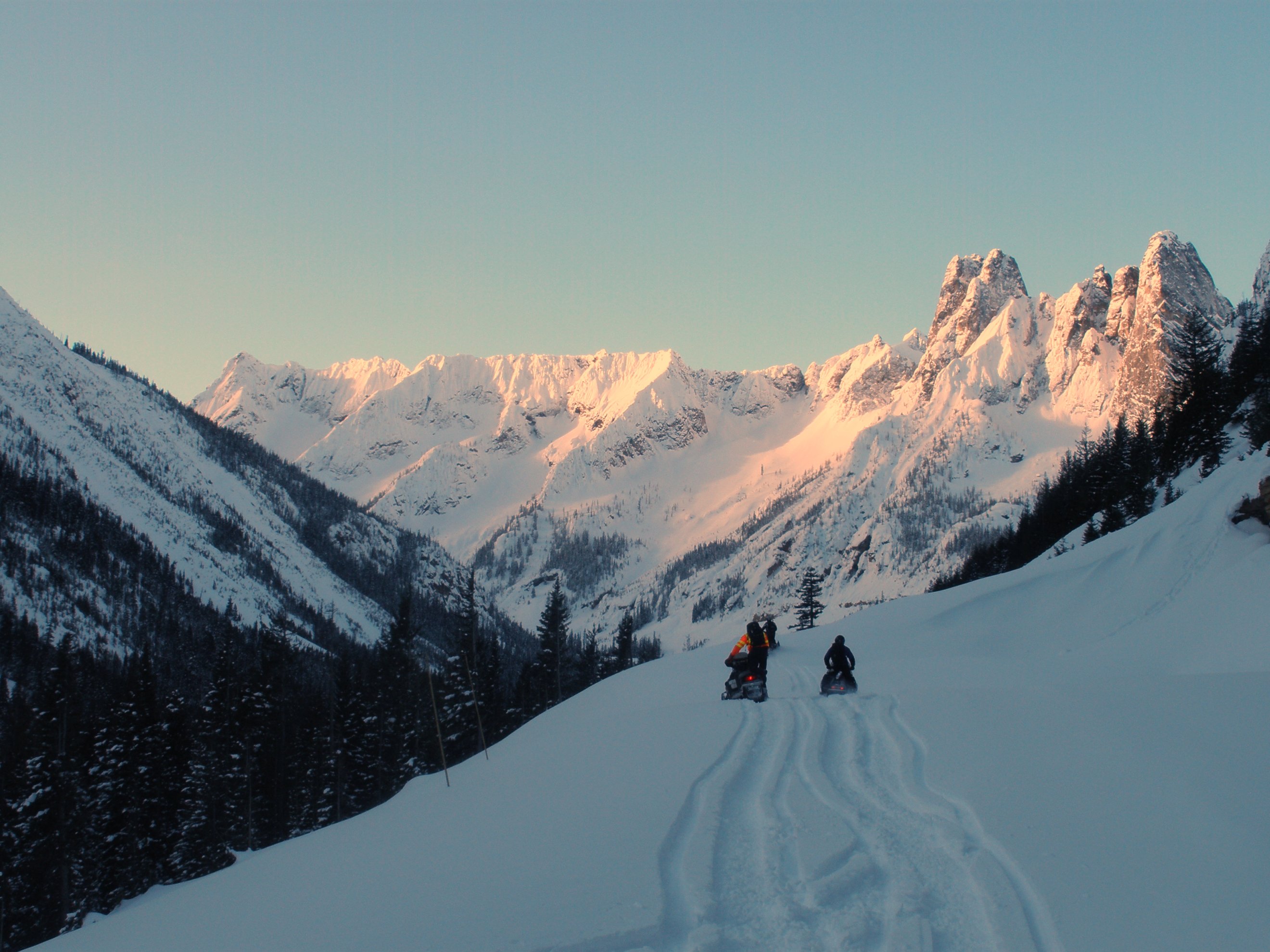
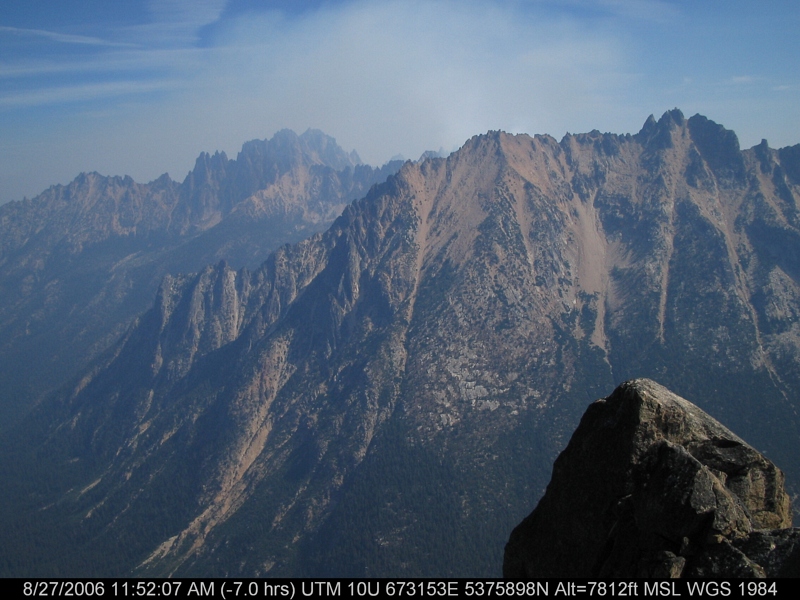
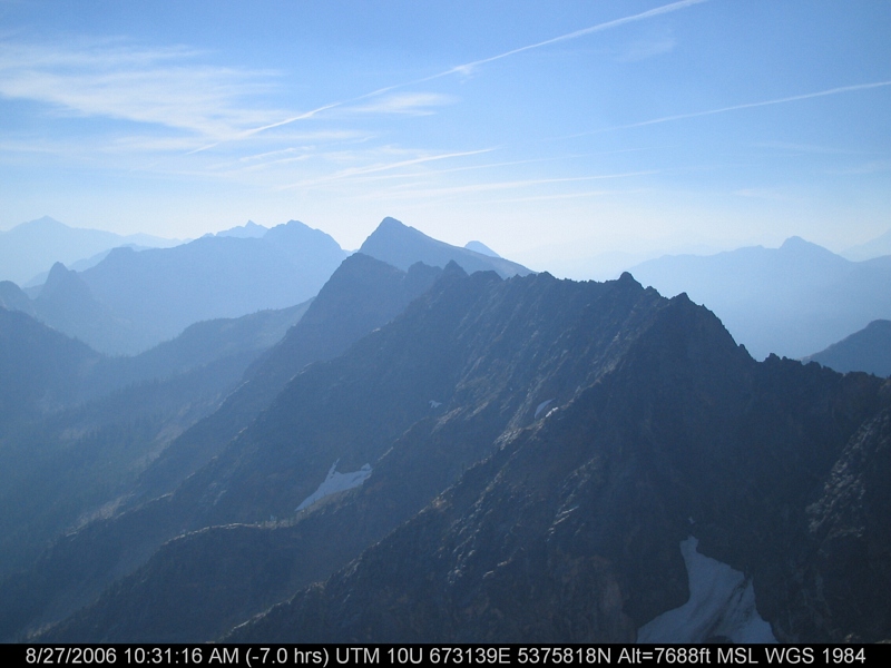
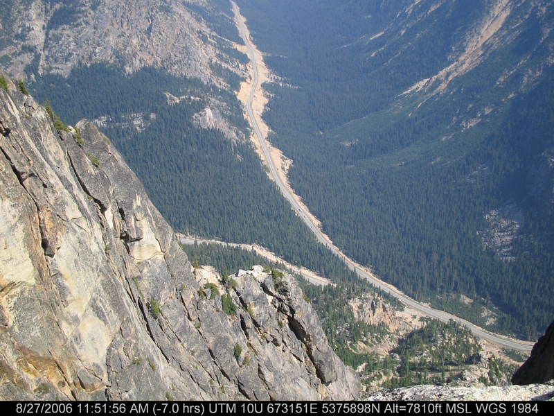
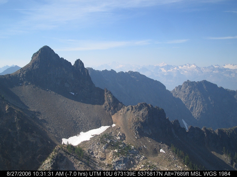
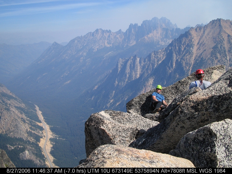
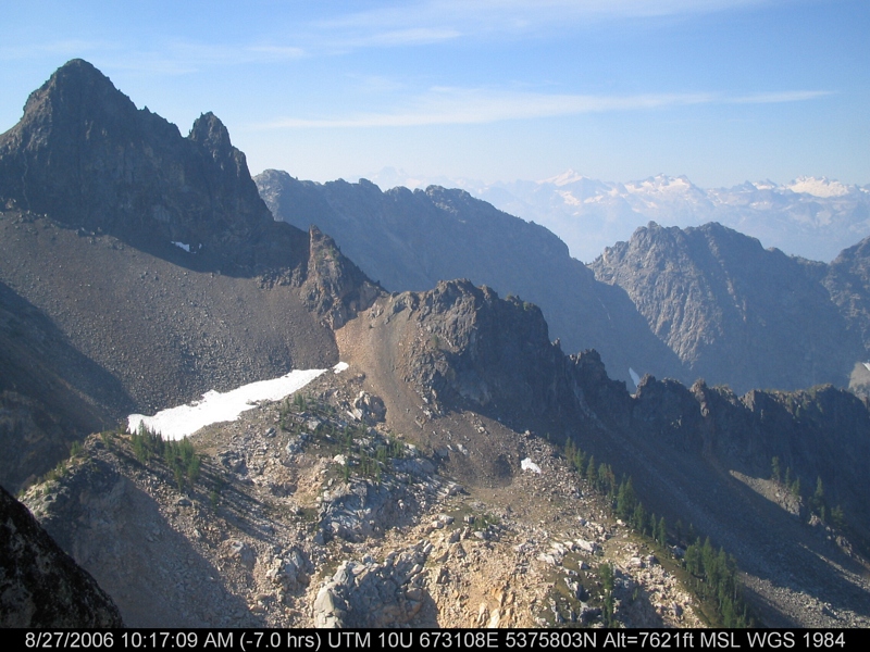
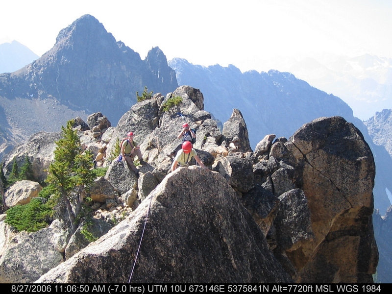
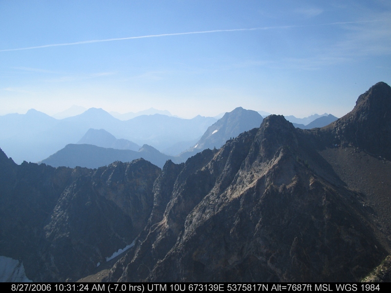
写真

Early Winters Mt

Mountain Sunset

inspire spires

Washington Explorations

Washington Explorations

First Light On The South Early Winters Spire

Methow Valley

Blue Lake, tamarack, Cutthroat Pk
Washington Pass 01 - Painting

Tamarack reflected Blue Lake
IMG_3484.JPG
North Cascades Highway - Snow 20 feet deep at Cutthroat Ridge avalanche chutes 6, 7, 8

Avalanches on SR 20 below Liberty Bell

A nice view of the hairpin curve from the Liberty Bell avalanche zone
IMG_3488.JPG

Fuck Your Light2.jpg

Avalanches on SR 20 below Liberty Bell
IMG_3453.JPG
IMG_3487.JPG
IMG_3455.JPG
IMG_3483.JPG
IMG_3449.JPG
IMG_3463.JPG
IMG_3454.JPG
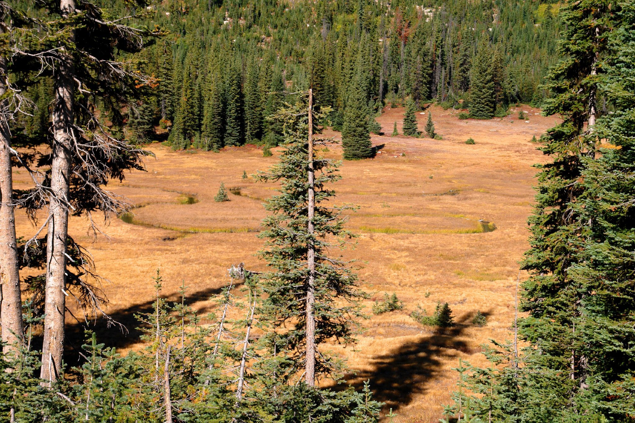
Meandering Creek

View from our campsite
IMG_3479.JPG
アメリカ合衆国 〒 ワシントン州 アバナシー・リッジの地図
別の場所を検索
近所の場所
アメリカ合衆国 〒 ワシントン州 アバナシー・ピーク
Winthrop, WA アメリカ合衆国サウス・クリーク・キャンプグランド
アメリカ合衆国 〒 ワシントン州 ミッドナイト山
アメリカ合衆国 〒 ワシントン州 ギルバート山
アメリカ合衆国 〒 ワシントン州 クレセント山
アメリカ合衆国 ワシントン州 アーリー・ウィンターズ川
アメリカ合衆国 〒 ワシントン州 スナッグトゥース・リッジ
アメリカ合衆国 〒 ワシントン州 シルバー・スター山
アメリカ合衆国 〒 ワシントン州 リンカーン・ビュート
アメリカ合衆国 〒 ワシントン州 カンガルー・リッジ
アメリカ合衆国 〒 ワシントン州 バジリキ・リッジ
31 Early Winters Dr, Mazama, WA アメリカ合衆国North Cascade Heli-Skiing
アメリカ合衆国 〒 ワシントン州 スプローン山
アメリカ合衆国 〒 ワシントン州 ツイスプ山
アメリカ合衆国 〒 ワシントン州 マザマ
アメリカ合衆国 〒 ワシントン州 バトル山
アメリカ合衆国 〒 ワシントン州 ボルダー・ビュート
アメリカ合衆国 〒 ワシントン州 アーリー・ウィンターズ・スパイアーズ・サウス
アメリカ合衆国 〒 ワシントン州 マカレスター山
アメリカ合衆国 〒 ワシントン州 ホック山
最近の検索
- アメリカ合衆国 アラスカ州 レッド・ドッグ・マイン日の出日の入り時間
- Am bhf, Borken, ドイツアム・バーンホーフ日の出日の入り時間
- 4th St E, Sonoma, CA, USA日の出日の入り時間
- Oakland Ave, Williamsport, PA アメリカ合衆国日の出日の入り時間
- Via Roma, Pieranica CR, イタリアローマ通り日の出日の入り時間
- クロアチア 〒 ドゥブロブニク GradClock Tower of Dubrovnik日の出日の入り時間
- アルゼンチン チュブ州 トレリュー日の出日の入り時間
- Hartfords Bluff Cir, Mt Pleasant, SC アメリカ合衆国日の出日の入り時間
- 日本、熊本県熊本市北区日の出日の入り時間
- 中華人民共和国 福州市 平潭県 平潭島日の出日の入り時間