Horas de salida y puesta de sol de Abernathy Ridge, Washington, EE. UU.
Location: Estados Unidos > Washington > Winthrop >
Zona horaria:
America/Los_Angeles
Hora local:
2025-06-15 00:20:42
Longitud:
-120.4911111
Latitud:
48.4583333
Salida de sol de hoy:
04:59:37 AM
Puesta de sol de hoy:
09:05:40 PM
La duración del día hoy:
16h 6m 3s
Salida de sol de mañana:
04:59:38 AM
Puesta de sol de mañana:
09:06:05 PM
La duración del día mañana:
16h 6m 27s
Mostrar todas las fechas
| Fecha | Salida de sol | Puesta de sol | Duración del día |
|---|---|---|---|
| 01/01/2025 | 07:53:27 AM | 04:18:55 PM | 8h 25m 28s |
| 02/01/2025 | 07:53:19 AM | 04:19:58 PM | 8h 26m 39s |
| 03/01/2025 | 07:53:09 AM | 04:21:03 PM | 8h 27m 54s |
| 04/01/2025 | 07:52:55 AM | 04:22:10 PM | 8h 29m 15s |
| 05/01/2025 | 07:52:39 AM | 04:23:19 PM | 8h 30m 40s |
| 06/01/2025 | 07:52:20 AM | 04:24:30 PM | 8h 32m 10s |
| 07/01/2025 | 07:51:57 AM | 04:25:42 PM | 8h 33m 45s |
| 08/01/2025 | 07:51:32 AM | 04:26:57 PM | 8h 35m 25s |
| 09/01/2025 | 07:51:04 AM | 04:28:13 PM | 8h 37m 9s |
| 10/01/2025 | 07:50:34 AM | 04:29:31 PM | 8h 38m 57s |
| 11/01/2025 | 07:50:00 AM | 04:30:51 PM | 8h 40m 51s |
| 12/01/2025 | 07:49:24 AM | 04:32:12 PM | 8h 42m 48s |
| 13/01/2025 | 07:48:45 AM | 04:33:34 PM | 8h 44m 49s |
| 14/01/2025 | 07:48:03 AM | 04:34:58 PM | 8h 46m 55s |
| 15/01/2025 | 07:47:19 AM | 04:36:23 PM | 8h 49m 4s |
| 16/01/2025 | 07:46:32 AM | 04:37:49 PM | 8h 51m 17s |
| 17/01/2025 | 07:45:42 AM | 04:39:17 PM | 8h 53m 35s |
| 18/01/2025 | 07:44:50 AM | 04:40:45 PM | 8h 55m 55s |
| 19/01/2025 | 07:43:56 AM | 04:42:15 PM | 8h 58m 19s |
| 20/01/2025 | 07:42:59 AM | 04:43:45 PM | 9h 0m 46s |
| 21/01/2025 | 07:41:59 AM | 04:45:17 PM | 9h 3m 18s |
| 22/01/2025 | 07:40:57 AM | 04:46:49 PM | 9h 5m 52s |
| 23/01/2025 | 07:39:53 AM | 04:48:22 PM | 9h 8m 29s |
| 24/01/2025 | 07:38:47 AM | 04:49:55 PM | 9h 11m 8s |
| 25/01/2025 | 07:37:38 AM | 04:51:30 PM | 9h 13m 52s |
| 26/01/2025 | 07:36:28 AM | 04:53:04 PM | 9h 16m 36s |
| 27/01/2025 | 07:35:15 AM | 04:54:40 PM | 9h 19m 25s |
| 28/01/2025 | 07:34:00 AM | 04:56:15 PM | 9h 22m 15s |
| 29/01/2025 | 07:32:43 AM | 04:57:52 PM | 9h 25m 9s |
| 30/01/2025 | 07:31:24 AM | 04:59:28 PM | 9h 28m 4s |
| 31/01/2025 | 07:30:03 AM | 05:01:05 PM | 9h 31m 2s |
| 01/02/2025 | 07:28:40 AM | 05:02:42 PM | 9h 34m 2s |
| 02/02/2025 | 07:27:16 AM | 05:04:19 PM | 9h 37m 3s |
| 03/02/2025 | 07:25:49 AM | 05:05:57 PM | 9h 40m 8s |
| 04/02/2025 | 07:24:21 AM | 05:07:34 PM | 9h 43m 13s |
| 05/02/2025 | 07:22:51 AM | 05:09:12 PM | 9h 46m 21s |
| 06/02/2025 | 07:21:20 AM | 05:10:49 PM | 9h 49m 29s |
| 07/02/2025 | 07:19:47 AM | 05:12:27 PM | 9h 52m 40s |
| 08/02/2025 | 07:18:12 AM | 05:14:05 PM | 9h 55m 53s |
| 09/02/2025 | 07:16:36 AM | 05:15:43 PM | 9h 59m 7s |
| 10/02/2025 | 07:14:58 AM | 05:17:20 PM | 10h 2m 22s |
| 11/02/2025 | 07:13:19 AM | 05:18:58 PM | 10h 5m 39s |
| 12/02/2025 | 07:11:38 AM | 05:20:35 PM | 10h 8m 57s |
| 13/02/2025 | 07:09:57 AM | 05:22:12 PM | 10h 12m 15s |
| 14/02/2025 | 07:08:13 AM | 05:23:50 PM | 10h 15m 37s |
| 15/02/2025 | 07:06:29 AM | 05:25:26 PM | 10h 18m 57s |
| 16/02/2025 | 07:04:44 AM | 05:27:03 PM | 10h 22m 19s |
| 17/02/2025 | 07:02:57 AM | 05:28:40 PM | 10h 25m 43s |
| 18/02/2025 | 07:01:09 AM | 05:30:16 PM | 10h 29m 7s |
| 19/02/2025 | 06:59:20 AM | 05:31:52 PM | 10h 32m 32s |
| 20/02/2025 | 06:57:30 AM | 05:33:28 PM | 10h 35m 58s |
| 21/02/2025 | 06:55:39 AM | 05:35:04 PM | 10h 39m 25s |
| 22/02/2025 | 06:53:47 AM | 05:36:39 PM | 10h 42m 52s |
| 23/02/2025 | 06:51:54 AM | 05:38:14 PM | 10h 46m 20s |
| 24/02/2025 | 06:50:00 AM | 05:39:49 PM | 10h 49m 49s |
| 25/02/2025 | 06:48:05 AM | 05:41:23 PM | 10h 53m 18s |
| 26/02/2025 | 06:46:10 AM | 05:42:58 PM | 10h 56m 48s |
| 27/02/2025 | 06:44:14 AM | 05:44:32 PM | 11h 0m 18s |
| 28/02/2025 | 06:42:17 AM | 05:46:05 PM | 11h 3m 48s |
| 01/03/2025 | 06:40:19 AM | 05:47:39 PM | 11h 7m 20s |
| 02/03/2025 | 06:38:20 AM | 05:49:12 PM | 11h 10m 52s |
| 03/03/2025 | 06:36:21 AM | 05:50:45 PM | 11h 14m 24s |
| 04/03/2025 | 06:34:22 AM | 05:52:17 PM | 11h 17m 55s |
| 05/03/2025 | 06:32:22 AM | 05:53:50 PM | 11h 21m 28s |
| 06/03/2025 | 06:30:21 AM | 05:55:22 PM | 11h 25m 1s |
| 07/03/2025 | 06:28:20 AM | 05:56:54 PM | 11h 28m 34s |
| 08/03/2025 | 06:26:18 AM | 05:58:25 PM | 11h 32m 7s |
| 09/03/2025 | 07:24:21 AM | 06:59:53 PM | 11h 35m 32s |
| 10/03/2025 | 07:22:18 AM | 07:01:24 PM | 11h 39m 6s |
| 11/03/2025 | 07:20:15 AM | 07:02:55 PM | 11h 42m 40s |
| 12/03/2025 | 07:18:12 AM | 07:04:25 PM | 11h 46m 13s |
| 13/03/2025 | 07:16:08 AM | 07:05:56 PM | 11h 49m 48s |
| 14/03/2025 | 07:14:04 AM | 07:07:26 PM | 11h 53m 22s |
| 15/03/2025 | 07:12:00 AM | 07:08:56 PM | 11h 56m 56s |
| 16/03/2025 | 07:09:56 AM | 07:10:26 PM | 12h 0m 30s |
| 17/03/2025 | 07:07:52 AM | 07:11:55 PM | 12h 4m 3s |
| 18/03/2025 | 07:05:47 AM | 07:13:25 PM | 12h 7m 38s |
| 19/03/2025 | 07:03:42 AM | 07:14:54 PM | 12h 11m 12s |
| 20/03/2025 | 07:01:37 AM | 07:16:24 PM | 12h 14m 47s |
| 21/03/2025 | 06:59:32 AM | 07:17:53 PM | 12h 18m 21s |
| 22/03/2025 | 06:57:27 AM | 07:19:22 PM | 12h 21m 55s |
| 23/03/2025 | 06:55:22 AM | 07:20:50 PM | 12h 25m 28s |
| 24/03/2025 | 06:53:18 AM | 07:22:19 PM | 12h 29m 1s |
| 25/03/2025 | 06:51:13 AM | 07:23:48 PM | 12h 32m 35s |
| 26/03/2025 | 06:49:08 AM | 07:25:16 PM | 12h 36m 8s |
| 27/03/2025 | 06:47:03 AM | 07:26:45 PM | 12h 39m 42s |
| 28/03/2025 | 06:44:59 AM | 07:28:13 PM | 12h 43m 14s |
| 29/03/2025 | 06:42:55 AM | 07:29:41 PM | 12h 46m 46s |
| 30/03/2025 | 06:40:51 AM | 07:31:10 PM | 12h 50m 19s |
| 31/03/2025 | 06:38:47 AM | 07:32:38 PM | 12h 53m 51s |
| 01/04/2025 | 06:36:43 AM | 07:34:06 PM | 12h 57m 23s |
| 02/04/2025 | 06:34:40 AM | 07:35:34 PM | 13h 0m 54s |
| 03/04/2025 | 06:32:37 AM | 07:37:02 PM | 13h 4m 25s |
| 04/04/2025 | 06:30:35 AM | 07:38:30 PM | 13h 7m 55s |
| 05/04/2025 | 06:28:33 AM | 07:39:58 PM | 13h 11m 25s |
| 06/04/2025 | 06:26:31 AM | 07:41:26 PM | 13h 14m 55s |
| 07/04/2025 | 06:24:30 AM | 07:42:54 PM | 13h 18m 24s |
| 08/04/2025 | 06:22:30 AM | 07:44:22 PM | 13h 21m 52s |
| 09/04/2025 | 06:20:29 AM | 07:45:50 PM | 13h 25m 21s |
| 10/04/2025 | 06:18:30 AM | 07:47:18 PM | 13h 28m 48s |
| 11/04/2025 | 06:16:31 AM | 07:48:46 PM | 13h 32m 15s |
| 12/04/2025 | 06:14:33 AM | 07:50:14 PM | 13h 35m 41s |
| 13/04/2025 | 06:12:35 AM | 07:51:42 PM | 13h 39m 7s |
| 14/04/2025 | 06:10:38 AM | 07:53:10 PM | 13h 42m 32s |
| 15/04/2025 | 06:08:42 AM | 07:54:38 PM | 13h 45m 56s |
| 16/04/2025 | 06:06:47 AM | 07:56:06 PM | 13h 49m 19s |
| 17/04/2025 | 06:04:53 AM | 07:57:33 PM | 13h 52m 40s |
| 18/04/2025 | 06:02:59 AM | 07:59:01 PM | 13h 56m 2s |
| 19/04/2025 | 06:01:06 AM | 08:00:29 PM | 13h 59m 23s |
| 20/04/2025 | 05:59:14 AM | 08:01:57 PM | 14h 2m 43s |
| 21/04/2025 | 05:57:23 AM | 08:03:24 PM | 14h 6m 1s |
| 22/04/2025 | 05:55:34 AM | 08:04:52 PM | 14h 9m 18s |
| 23/04/2025 | 05:53:45 AM | 08:06:19 PM | 14h 12m 34s |
| 24/04/2025 | 05:51:57 AM | 08:07:47 PM | 14h 15m 50s |
| 25/04/2025 | 05:50:10 AM | 08:09:14 PM | 14h 19m 4s |
| 26/04/2025 | 05:48:25 AM | 08:10:41 PM | 14h 22m 16s |
| 27/04/2025 | 05:46:41 AM | 08:12:08 PM | 14h 25m 27s |
| 28/04/2025 | 05:44:58 AM | 08:13:34 PM | 14h 28m 36s |
| 29/04/2025 | 05:43:16 AM | 08:15:01 PM | 14h 31m 45s |
| 30/04/2025 | 05:41:35 AM | 08:16:27 PM | 14h 34m 52s |
| 01/05/2025 | 05:39:56 AM | 08:17:53 PM | 14h 37m 57s |
| 02/05/2025 | 05:38:18 AM | 08:19:18 PM | 14h 41m 0s |
| 03/05/2025 | 05:36:42 AM | 08:20:44 PM | 14h 44m 2s |
| 04/05/2025 | 05:35:07 AM | 08:22:08 PM | 14h 47m 1s |
| 05/05/2025 | 05:33:34 AM | 08:23:33 PM | 14h 49m 59s |
| 06/05/2025 | 05:32:02 AM | 08:24:57 PM | 14h 52m 55s |
| 07/05/2025 | 05:30:32 AM | 08:26:21 PM | 14h 55m 49s |
| 08/05/2025 | 05:29:04 AM | 08:27:44 PM | 14h 58m 40s |
| 09/05/2025 | 05:27:37 AM | 08:29:06 PM | 15h 1m 29s |
| 10/05/2025 | 05:26:12 AM | 08:30:29 PM | 15h 4m 17s |
| 11/05/2025 | 05:24:48 AM | 08:31:50 PM | 15h 7m 2s |
| 12/05/2025 | 05:23:27 AM | 08:33:11 PM | 15h 9m 44s |
| 13/05/2025 | 05:22:07 AM | 08:34:31 PM | 15h 12m 24s |
| 14/05/2025 | 05:20:49 AM | 08:35:50 PM | 15h 15m 1s |
| 15/05/2025 | 05:19:34 AM | 08:37:08 PM | 15h 17m 34s |
| 16/05/2025 | 05:18:20 AM | 08:38:26 PM | 15h 20m 6s |
| 17/05/2025 | 05:17:08 AM | 08:39:43 PM | 15h 22m 35s |
| 18/05/2025 | 05:15:58 AM | 08:40:58 PM | 15h 25m 0s |
| 19/05/2025 | 05:14:51 AM | 08:42:13 PM | 15h 27m 22s |
| 20/05/2025 | 05:13:45 AM | 08:43:26 PM | 15h 29m 41s |
| 21/05/2025 | 05:12:42 AM | 08:44:39 PM | 15h 31m 57s |
| 22/05/2025 | 05:11:41 AM | 08:45:50 PM | 15h 34m 9s |
| 23/05/2025 | 05:10:42 AM | 08:47:00 PM | 15h 36m 18s |
| 24/05/2025 | 05:09:45 AM | 08:48:09 PM | 15h 38m 24s |
| 25/05/2025 | 05:08:51 AM | 08:49:16 PM | 15h 40m 25s |
| 26/05/2025 | 05:07:59 AM | 08:50:22 PM | 15h 42m 23s |
| 27/05/2025 | 05:07:10 AM | 08:51:27 PM | 15h 44m 17s |
| 28/05/2025 | 05:06:23 AM | 08:52:30 PM | 15h 46m 7s |
| 29/05/2025 | 05:05:38 AM | 08:53:31 PM | 15h 47m 53s |
| 30/05/2025 | 05:04:56 AM | 08:54:31 PM | 15h 49m 35s |
| 31/05/2025 | 05:04:16 AM | 08:55:29 PM | 15h 51m 13s |
| 01/06/2025 | 05:03:39 AM | 08:56:25 PM | 15h 52m 46s |
| 02/06/2025 | 05:03:05 AM | 08:57:20 PM | 15h 54m 15s |
| 03/06/2025 | 05:02:33 AM | 08:58:12 PM | 15h 55m 39s |
| 04/06/2025 | 05:02:04 AM | 08:59:03 PM | 15h 56m 59s |
| 05/06/2025 | 05:01:37 AM | 08:59:51 PM | 15h 58m 14s |
| 06/06/2025 | 05:01:13 AM | 09:00:38 PM | 15h 59m 25s |
| 07/06/2025 | 05:00:52 AM | 09:01:22 PM | 16h 0m 30s |
| 08/06/2025 | 05:00:33 AM | 09:02:05 PM | 16h 1m 32s |
| 09/06/2025 | 05:00:17 AM | 09:02:45 PM | 16h 2m 28s |
| 10/06/2025 | 05:00:04 AM | 09:03:22 PM | 16h 3m 18s |
| 11/06/2025 | 04:59:53 AM | 09:03:58 PM | 16h 4m 5s |
| 12/06/2025 | 04:59:45 AM | 09:04:31 PM | 16h 4m 46s |
| 13/06/2025 | 04:59:40 AM | 09:05:02 PM | 16h 5m 22s |
| 14/06/2025 | 04:59:37 AM | 09:05:30 PM | 16h 5m 53s |
| 15/06/2025 | 04:59:37 AM | 09:05:56 PM | 16h 6m 19s |
| 16/06/2025 | 04:59:40 AM | 09:06:19 PM | 16h 6m 39s |
| 17/06/2025 | 04:59:45 AM | 09:06:40 PM | 16h 6m 55s |
| 18/06/2025 | 04:59:53 AM | 09:06:58 PM | 16h 7m 5s |
| 19/06/2025 | 05:00:04 AM | 09:07:14 PM | 16h 7m 10s |
| 20/06/2025 | 05:00:17 AM | 09:07:27 PM | 16h 7m 10s |
| 21/06/2025 | 05:00:32 AM | 09:07:37 PM | 16h 7m 5s |
| 22/06/2025 | 05:00:51 AM | 09:07:45 PM | 16h 6m 54s |
| 23/06/2025 | 05:01:11 AM | 09:07:50 PM | 16h 6m 39s |
| 24/06/2025 | 05:01:35 AM | 09:07:52 PM | 16h 6m 17s |
| 25/06/2025 | 05:02:00 AM | 09:07:52 PM | 16h 5m 52s |
| 26/06/2025 | 05:02:28 AM | 09:07:49 PM | 16h 5m 21s |
| 27/06/2025 | 05:02:59 AM | 09:07:43 PM | 16h 4m 44s |
| 28/06/2025 | 05:03:31 AM | 09:07:34 PM | 16h 4m 3s |
| 29/06/2025 | 05:04:06 AM | 09:07:23 PM | 16h 3m 17s |
| 30/06/2025 | 05:04:43 AM | 09:07:09 PM | 16h 2m 26s |
| 01/07/2025 | 05:05:23 AM | 09:06:52 PM | 16h 1m 29s |
| 02/07/2025 | 05:06:04 AM | 09:06:33 PM | 16h 0m 29s |
| 03/07/2025 | 05:06:48 AM | 09:06:10 PM | 15h 59m 22s |
| 04/07/2025 | 05:07:33 AM | 09:05:46 PM | 15h 58m 13s |
| 05/07/2025 | 05:08:21 AM | 09:05:18 PM | 15h 56m 57s |
| 06/07/2025 | 05:09:10 AM | 09:04:48 PM | 15h 55m 38s |
| 07/07/2025 | 05:10:01 AM | 09:04:15 PM | 15h 54m 14s |
| 08/07/2025 | 05:10:55 AM | 09:03:40 PM | 15h 52m 45s |
| 09/07/2025 | 05:11:49 AM | 09:03:02 PM | 15h 51m 13s |
| 10/07/2025 | 05:12:46 AM | 09:02:21 PM | 15h 49m 35s |
| 11/07/2025 | 05:13:44 AM | 09:01:38 PM | 15h 47m 54s |
| 12/07/2025 | 05:14:44 AM | 09:00:52 PM | 15h 46m 8s |
| 13/07/2025 | 05:15:45 AM | 09:00:04 PM | 15h 44m 19s |
| 14/07/2025 | 05:16:48 AM | 08:59:14 PM | 15h 42m 26s |
| 15/07/2025 | 05:17:52 AM | 08:58:21 PM | 15h 40m 29s |
| 16/07/2025 | 05:18:57 AM | 08:57:25 PM | 15h 38m 28s |
| 17/07/2025 | 05:20:04 AM | 08:56:28 PM | 15h 36m 24s |
| 18/07/2025 | 05:21:11 AM | 08:55:28 PM | 15h 34m 17s |
| 19/07/2025 | 05:22:20 AM | 08:54:25 PM | 15h 32m 5s |
| 20/07/2025 | 05:23:30 AM | 08:53:21 PM | 15h 29m 51s |
| 21/07/2025 | 05:24:42 AM | 08:52:14 PM | 15h 27m 32s |
| 22/07/2025 | 05:25:54 AM | 08:51:05 PM | 15h 25m 11s |
| 23/07/2025 | 05:27:07 AM | 08:49:54 PM | 15h 22m 47s |
| 24/07/2025 | 05:28:21 AM | 08:48:41 PM | 15h 20m 20s |
| 25/07/2025 | 05:29:36 AM | 08:47:26 PM | 15h 17m 50s |
| 26/07/2025 | 05:30:51 AM | 08:46:09 PM | 15h 15m 18s |
| 27/07/2025 | 05:32:07 AM | 08:44:50 PM | 15h 12m 43s |
| 28/07/2025 | 05:33:24 AM | 08:43:30 PM | 15h 10m 6s |
| 29/07/2025 | 05:34:42 AM | 08:42:07 PM | 15h 7m 25s |
| 30/07/2025 | 05:36:00 AM | 08:40:42 PM | 15h 4m 42s |
| 31/07/2025 | 05:37:19 AM | 08:39:16 PM | 15h 1m 57s |
| 01/08/2025 | 05:38:38 AM | 08:37:48 PM | 14h 59m 10s |
| 02/08/2025 | 05:39:58 AM | 08:36:18 PM | 14h 56m 20s |
| 03/08/2025 | 05:41:18 AM | 08:34:47 PM | 14h 53m 29s |
| 04/08/2025 | 05:42:39 AM | 08:33:14 PM | 14h 50m 35s |
| 05/08/2025 | 05:44:00 AM | 08:31:39 PM | 14h 47m 39s |
| 06/08/2025 | 05:45:21 AM | 08:30:03 PM | 14h 44m 42s |
| 07/08/2025 | 05:46:43 AM | 08:28:26 PM | 14h 41m 43s |
| 08/08/2025 | 05:48:05 AM | 08:26:47 PM | 14h 38m 42s |
| 09/08/2025 | 05:49:27 AM | 08:25:07 PM | 14h 35m 40s |
| 10/08/2025 | 05:50:49 AM | 08:23:25 PM | 14h 32m 36s |
| 11/08/2025 | 05:52:12 AM | 08:21:42 PM | 14h 29m 30s |
| 12/08/2025 | 05:53:35 AM | 08:19:57 PM | 14h 26m 22s |
| 13/08/2025 | 05:54:57 AM | 08:18:12 PM | 14h 23m 15s |
| 14/08/2025 | 05:56:20 AM | 08:16:25 PM | 14h 20m 5s |
| 15/08/2025 | 05:57:44 AM | 08:14:37 PM | 14h 16m 53s |
| 16/08/2025 | 05:59:07 AM | 08:12:48 PM | 14h 13m 41s |
| 17/08/2025 | 06:00:30 AM | 08:10:58 PM | 14h 10m 28s |
| 18/08/2025 | 06:01:53 AM | 08:09:07 PM | 14h 7m 14s |
| 19/08/2025 | 06:03:17 AM | 08:07:15 PM | 14h 3m 58s |
| 20/08/2025 | 06:04:40 AM | 08:05:22 PM | 14h 0m 42s |
| 21/08/2025 | 06:06:03 AM | 08:03:28 PM | 13h 57m 25s |
| 22/08/2025 | 06:07:27 AM | 08:01:33 PM | 13h 54m 6s |
| 23/08/2025 | 06:08:50 AM | 07:59:37 PM | 13h 50m 47s |
| 24/08/2025 | 06:10:14 AM | 07:57:40 PM | 13h 47m 26s |
| 25/08/2025 | 06:11:37 AM | 07:55:43 PM | 13h 44m 6s |
| 26/08/2025 | 06:13:00 AM | 07:53:45 PM | 13h 40m 45s |
| 27/08/2025 | 06:14:24 AM | 07:51:46 PM | 13h 37m 22s |
| 28/08/2025 | 06:15:47 AM | 07:49:46 PM | 13h 33m 59s |
| 29/08/2025 | 06:17:11 AM | 07:47:46 PM | 13h 30m 35s |
| 30/08/2025 | 06:18:34 AM | 07:45:45 PM | 13h 27m 11s |
| 31/08/2025 | 06:19:57 AM | 07:43:44 PM | 13h 23m 47s |
| 01/09/2025 | 06:21:20 AM | 07:41:42 PM | 13h 20m 22s |
| 02/09/2025 | 06:22:44 AM | 07:39:39 PM | 13h 16m 55s |
| 03/09/2025 | 06:24:07 AM | 07:37:36 PM | 13h 13m 29s |
| 04/09/2025 | 06:25:30 AM | 07:35:33 PM | 13h 10m 3s |
| 05/09/2025 | 06:26:53 AM | 07:33:29 PM | 13h 6m 36s |
| 06/09/2025 | 06:28:17 AM | 07:31:25 PM | 13h 3m 8s |
| 07/09/2025 | 06:29:40 AM | 07:29:20 PM | 12h 59m 40s |
| 08/09/2025 | 06:31:03 AM | 07:27:15 PM | 12h 56m 12s |
| 09/09/2025 | 06:32:27 AM | 07:25:10 PM | 12h 52m 43s |
| 10/09/2025 | 06:33:50 AM | 07:23:04 PM | 12h 49m 14s |
| 11/09/2025 | 06:35:13 AM | 07:20:58 PM | 12h 45m 45s |
| 12/09/2025 | 06:36:37 AM | 07:18:52 PM | 12h 42m 15s |
| 13/09/2025 | 06:38:00 AM | 07:16:46 PM | 12h 38m 46s |
| 14/09/2025 | 06:39:23 AM | 07:14:40 PM | 12h 35m 17s |
| 15/09/2025 | 06:40:47 AM | 07:12:33 PM | 12h 31m 46s |
| 16/09/2025 | 06:42:11 AM | 07:10:27 PM | 12h 28m 16s |
| 17/09/2025 | 06:43:34 AM | 07:08:20 PM | 12h 24m 46s |
| 18/09/2025 | 06:44:58 AM | 07:06:14 PM | 12h 21m 16s |
| 19/09/2025 | 06:46:22 AM | 07:04:07 PM | 12h 17m 45s |
| 20/09/2025 | 06:47:46 AM | 07:02:00 PM | 12h 14m 14s |
| 21/09/2025 | 06:49:11 AM | 06:59:54 PM | 12h 10m 43s |
| 22/09/2025 | 06:50:35 AM | 06:57:47 PM | 12h 7m 12s |
| 23/09/2025 | 06:51:59 AM | 06:55:41 PM | 12h 3m 42s |
| 24/09/2025 | 06:53:24 AM | 06:53:35 PM | 12h 0m 11s |
| 25/09/2025 | 06:54:49 AM | 06:51:29 PM | 11h 56m 40s |
| 26/09/2025 | 06:56:14 AM | 06:49:23 PM | 11h 53m 9s |
| 27/09/2025 | 06:57:39 AM | 06:47:17 PM | 11h 49m 38s |
| 28/09/2025 | 06:59:05 AM | 06:45:12 PM | 11h 46m 7s |
| 29/09/2025 | 07:00:30 AM | 06:43:07 PM | 11h 42m 37s |
| 30/09/2025 | 07:01:56 AM | 06:41:02 PM | 11h 39m 6s |
| 01/10/2025 | 07:03:22 AM | 06:38:58 PM | 11h 35m 36s |
| 02/10/2025 | 07:04:49 AM | 06:36:54 PM | 11h 32m 5s |
| 03/10/2025 | 07:06:16 AM | 06:34:51 PM | 11h 28m 35s |
| 04/10/2025 | 07:07:42 AM | 06:32:48 PM | 11h 25m 6s |
| 05/10/2025 | 07:09:10 AM | 06:30:45 PM | 11h 21m 35s |
| 06/10/2025 | 07:10:37 AM | 06:28:43 PM | 11h 18m 6s |
| 07/10/2025 | 07:12:05 AM | 06:26:42 PM | 11h 14m 37s |
| 08/10/2025 | 07:13:33 AM | 06:24:41 PM | 11h 11m 8s |
| 09/10/2025 | 07:15:01 AM | 06:22:41 PM | 11h 7m 40s |
| 10/10/2025 | 07:16:30 AM | 06:20:41 PM | 11h 4m 11s |
| 11/10/2025 | 07:17:59 AM | 06:18:42 PM | 11h 0m 43s |
| 12/10/2025 | 07:19:28 AM | 06:16:44 PM | 10h 57m 16s |
| 13/10/2025 | 07:20:57 AM | 06:14:47 PM | 10h 53m 50s |
| 14/10/2025 | 07:22:27 AM | 06:12:50 PM | 10h 50m 23s |
| 15/10/2025 | 07:23:57 AM | 06:10:55 PM | 10h 46m 58s |
| 16/10/2025 | 07:25:28 AM | 06:09:00 PM | 10h 43m 32s |
| 17/10/2025 | 07:26:58 AM | 06:07:06 PM | 10h 40m 8s |
| 18/10/2025 | 07:28:29 AM | 06:05:13 PM | 10h 36m 44s |
| 19/10/2025 | 07:30:01 AM | 06:03:21 PM | 10h 33m 20s |
| 20/10/2025 | 07:31:32 AM | 06:01:30 PM | 10h 29m 58s |
| 21/10/2025 | 07:33:04 AM | 05:59:40 PM | 10h 26m 36s |
| 22/10/2025 | 07:34:36 AM | 05:57:51 PM | 10h 23m 15s |
| 23/10/2025 | 07:36:08 AM | 05:56:04 PM | 10h 19m 56s |
| 24/10/2025 | 07:37:41 AM | 05:54:17 PM | 10h 16m 36s |
| 25/10/2025 | 07:39:14 AM | 05:52:32 PM | 10h 13m 18s |
| 26/10/2025 | 07:40:47 AM | 05:50:48 PM | 10h 10m 1s |
| 27/10/2025 | 07:42:20 AM | 05:49:06 PM | 10h 6m 46s |
| 28/10/2025 | 07:43:53 AM | 05:47:24 PM | 10h 3m 31s |
| 29/10/2025 | 07:45:27 AM | 05:45:45 PM | 10h 0m 18s |
| 30/10/2025 | 07:47:00 AM | 05:44:06 PM | 9h 57m 6s |
| 31/10/2025 | 07:48:34 AM | 05:42:29 PM | 9h 53m 55s |
| 01/11/2025 | 07:50:08 AM | 05:40:54 PM | 9h 50m 46s |
| 02/11/2025 | 06:51:46 AM | 04:39:16 PM | 9h 47m 30s |
| 03/11/2025 | 06:53:20 AM | 04:37:44 PM | 9h 44m 24s |
| 04/11/2025 | 06:54:54 AM | 04:36:13 PM | 9h 41m 19s |
| 05/11/2025 | 06:56:27 AM | 04:34:45 PM | 9h 38m 18s |
| 06/11/2025 | 06:58:01 AM | 04:33:18 PM | 9h 35m 17s |
| 07/11/2025 | 06:59:35 AM | 04:31:53 PM | 9h 32m 18s |
| 08/11/2025 | 07:01:08 AM | 04:30:29 PM | 9h 29m 21s |
| 09/11/2025 | 07:02:41 AM | 04:29:08 PM | 9h 26m 27s |
| 10/11/2025 | 07:04:14 AM | 04:27:48 PM | 9h 23m 34s |
| 11/11/2025 | 07:05:47 AM | 04:26:31 PM | 9h 20m 44s |
| 12/11/2025 | 07:07:19 AM | 04:25:16 PM | 9h 17m 57s |
| 13/11/2025 | 07:08:51 AM | 04:24:02 PM | 9h 15m 11s |
| 14/11/2025 | 07:10:23 AM | 04:22:51 PM | 9h 12m 28s |
| 15/11/2025 | 07:11:54 AM | 04:21:42 PM | 9h 9m 48s |
| 16/11/2025 | 07:13:24 AM | 04:20:35 PM | 9h 7m 11s |
| 17/11/2025 | 07:14:54 AM | 04:19:31 PM | 9h 4m 37s |
| 18/11/2025 | 07:16:23 AM | 04:18:29 PM | 9h 2m 6s |
| 19/11/2025 | 07:17:51 AM | 04:17:29 PM | 8h 59m 38s |
| 20/11/2025 | 07:19:19 AM | 04:16:32 PM | 8h 57m 13s |
| 21/11/2025 | 07:20:45 AM | 04:15:37 PM | 8h 54m 52s |
| 22/11/2025 | 07:22:11 AM | 04:14:45 PM | 8h 52m 34s |
| 23/11/2025 | 07:23:36 AM | 04:13:55 PM | 8h 50m 19s |
| 24/11/2025 | 07:24:59 AM | 04:13:08 PM | 8h 48m 9s |
| 25/11/2025 | 07:26:22 AM | 04:12:23 PM | 8h 46m 1s |
| 26/11/2025 | 07:27:43 AM | 04:11:41 PM | 8h 43m 58s |
| 27/11/2025 | 07:29:03 AM | 04:11:02 PM | 8h 41m 59s |
| 28/11/2025 | 07:30:21 AM | 04:10:26 PM | 8h 40m 5s |
| 29/11/2025 | 07:31:39 AM | 04:09:52 PM | 8h 38m 13s |
| 30/11/2025 | 07:32:54 AM | 04:09:22 PM | 8h 36m 28s |
| 01/12/2025 | 07:34:08 AM | 04:08:54 PM | 8h 34m 46s |
| 02/12/2025 | 07:35:20 AM | 04:08:29 PM | 8h 33m 9s |
| 03/12/2025 | 07:36:31 AM | 04:08:07 PM | 8h 31m 36s |
| 04/12/2025 | 07:37:40 AM | 04:07:47 PM | 8h 30m 7s |
| 05/12/2025 | 07:38:47 AM | 04:07:31 PM | 8h 28m 44s |
| 06/12/2025 | 07:39:52 AM | 04:07:18 PM | 8h 27m 26s |
| 07/12/2025 | 07:40:55 AM | 04:07:08 PM | 8h 26m 13s |
| 08/12/2025 | 07:41:56 AM | 04:07:00 PM | 8h 25m 4s |
| 09/12/2025 | 07:42:54 AM | 04:06:56 PM | 8h 24m 2s |
| 10/12/2025 | 07:43:51 AM | 04:06:55 PM | 8h 23m 4s |
| 11/12/2025 | 07:44:45 AM | 04:06:57 PM | 8h 22m 12s |
| 12/12/2025 | 07:45:37 AM | 04:07:01 PM | 8h 21m 24s |
| 13/12/2025 | 07:46:26 AM | 04:07:09 PM | 8h 20m 43s |
| 14/12/2025 | 07:47:13 AM | 04:07:20 PM | 8h 20m 7s |
| 15/12/2025 | 07:47:58 AM | 04:07:34 PM | 8h 19m 36s |
| 16/12/2025 | 07:48:39 AM | 04:07:51 PM | 8h 19m 12s |
| 17/12/2025 | 07:49:19 AM | 04:08:10 PM | 8h 18m 51s |
| 18/12/2025 | 07:49:55 AM | 04:08:33 PM | 8h 18m 38s |
| 19/12/2025 | 07:50:29 AM | 04:08:59 PM | 8h 18m 30s |
| 20/12/2025 | 07:51:00 AM | 04:09:27 PM | 8h 18m 27s |
| 21/12/2025 | 07:51:28 AM | 04:09:59 PM | 8h 18m 31s |
| 22/12/2025 | 07:51:54 AM | 04:10:33 PM | 8h 18m 39s |
| 23/12/2025 | 07:52:16 AM | 04:11:10 PM | 8h 18m 54s |
| 24/12/2025 | 07:52:36 AM | 04:11:50 PM | 8h 19m 14s |
| 25/12/2025 | 07:52:53 AM | 04:12:32 PM | 8h 19m 39s |
| 26/12/2025 | 07:53:07 AM | 04:13:17 PM | 8h 20m 10s |
| 27/12/2025 | 07:53:18 AM | 04:14:05 PM | 8h 20m 47s |
| 28/12/2025 | 07:53:26 AM | 04:14:55 PM | 8h 21m 29s |
| 29/12/2025 | 07:53:31 AM | 04:15:48 PM | 8h 22m 17s |
| 30/12/2025 | 07:53:33 AM | 04:16:43 PM | 8h 23m 10s |
| 31/12/2025 | 07:53:32 AM | 04:17:41 PM | 8h 24m 9s |
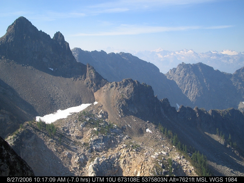
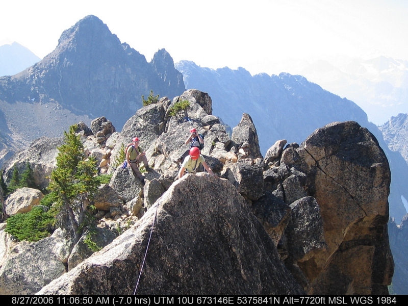
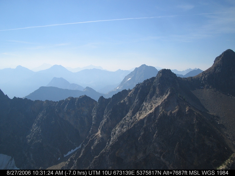
Fotos

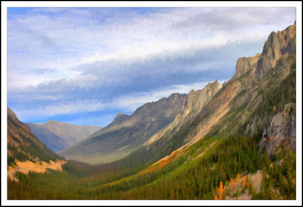
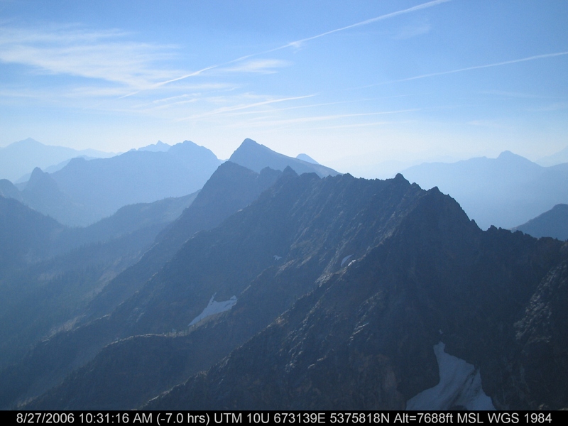
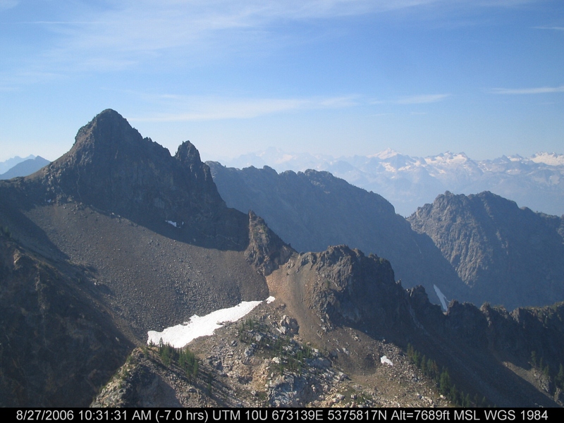
Early Winters Mt

Mountain Sunset

inspire spires

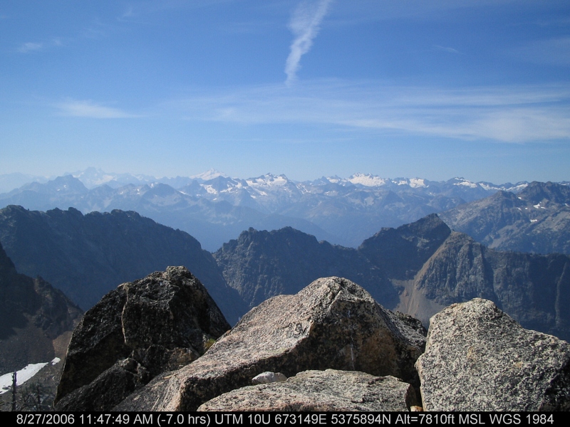
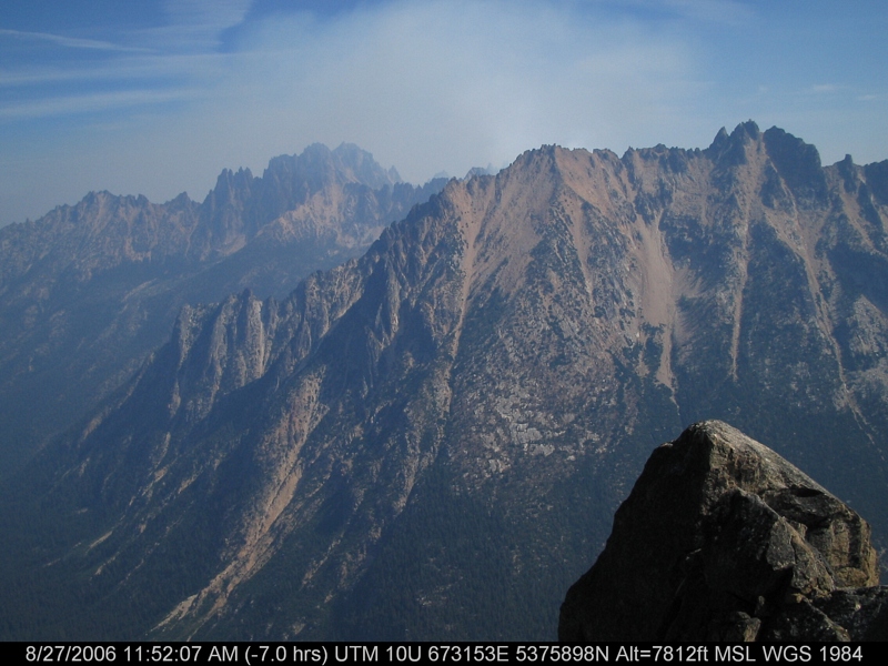
Washington Explorations

Washington Explorations

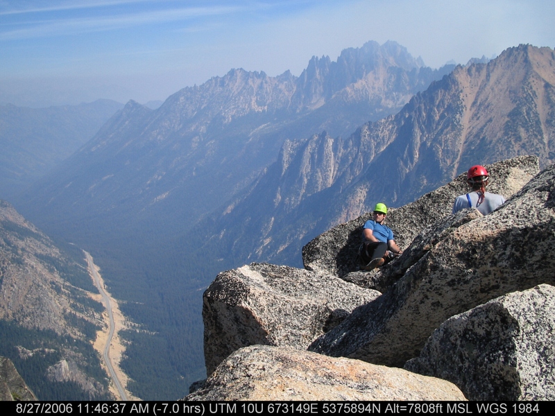
First Light On The South Early Winters Spire

Methow Valley

Blue Lake, tamarack, Cutthroat Pk
Washington Pass 01 - Painting

Tamarack reflected Blue Lake
IMG_3484.JPG
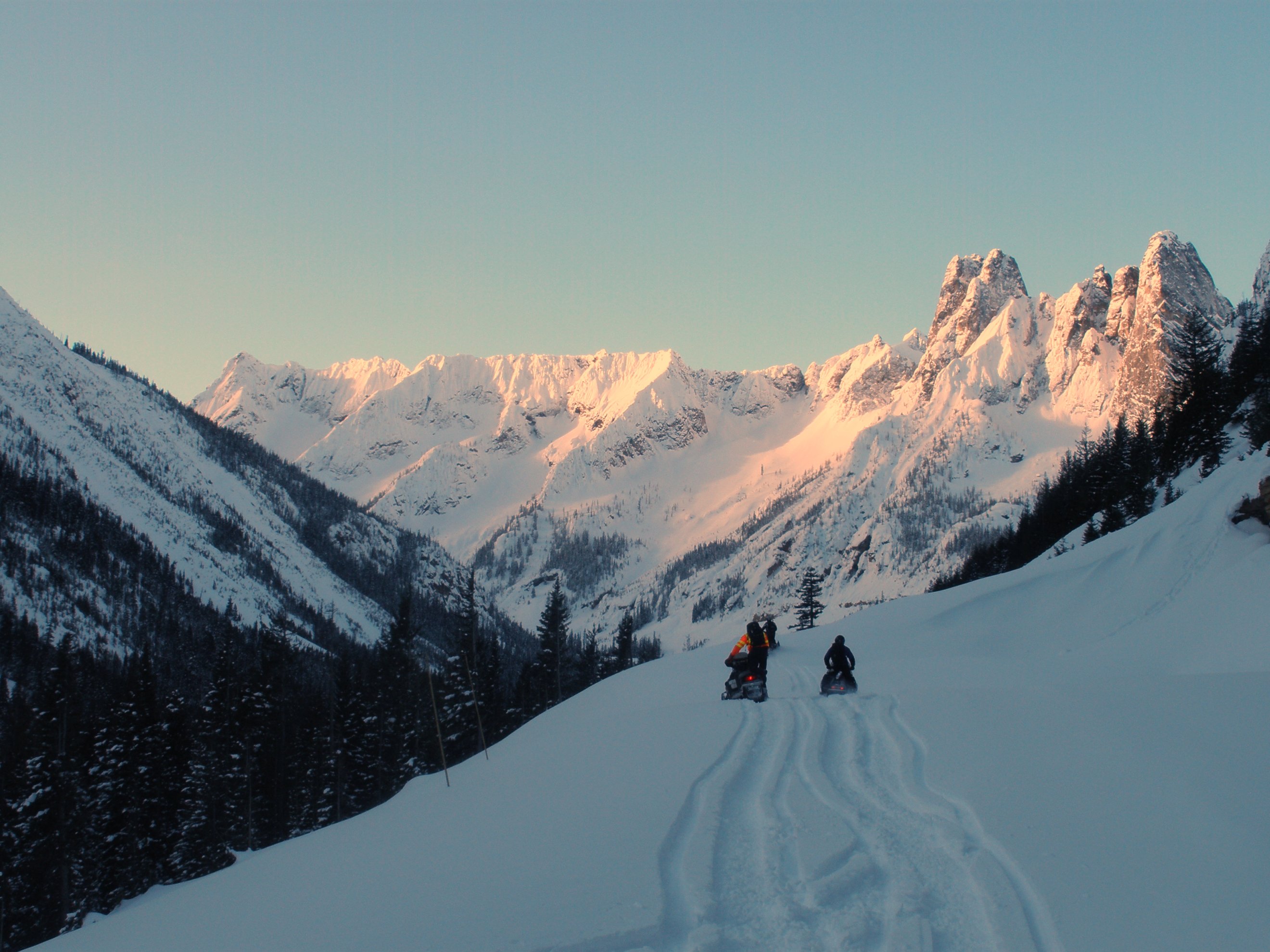
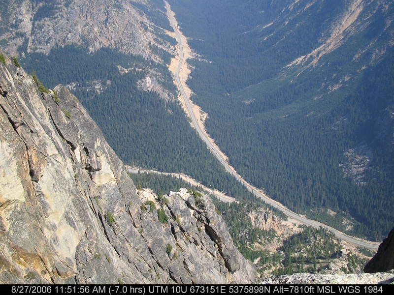
North Cascades Highway - Snow 20 feet deep at Cutthroat Ridge avalanche chutes 6, 7, 8

Avalanches on SR 20 below Liberty Bell

A nice view of the hairpin curve from the Liberty Bell avalanche zone
IMG_3488.JPG

Fuck Your Light2.jpg

Avalanches on SR 20 below Liberty Bell
IMG_3453.JPG
IMG_3487.JPG
IMG_3455.JPG
IMG_3483.JPG
IMG_3449.JPG
IMG_3463.JPG
IMG_3454.JPG
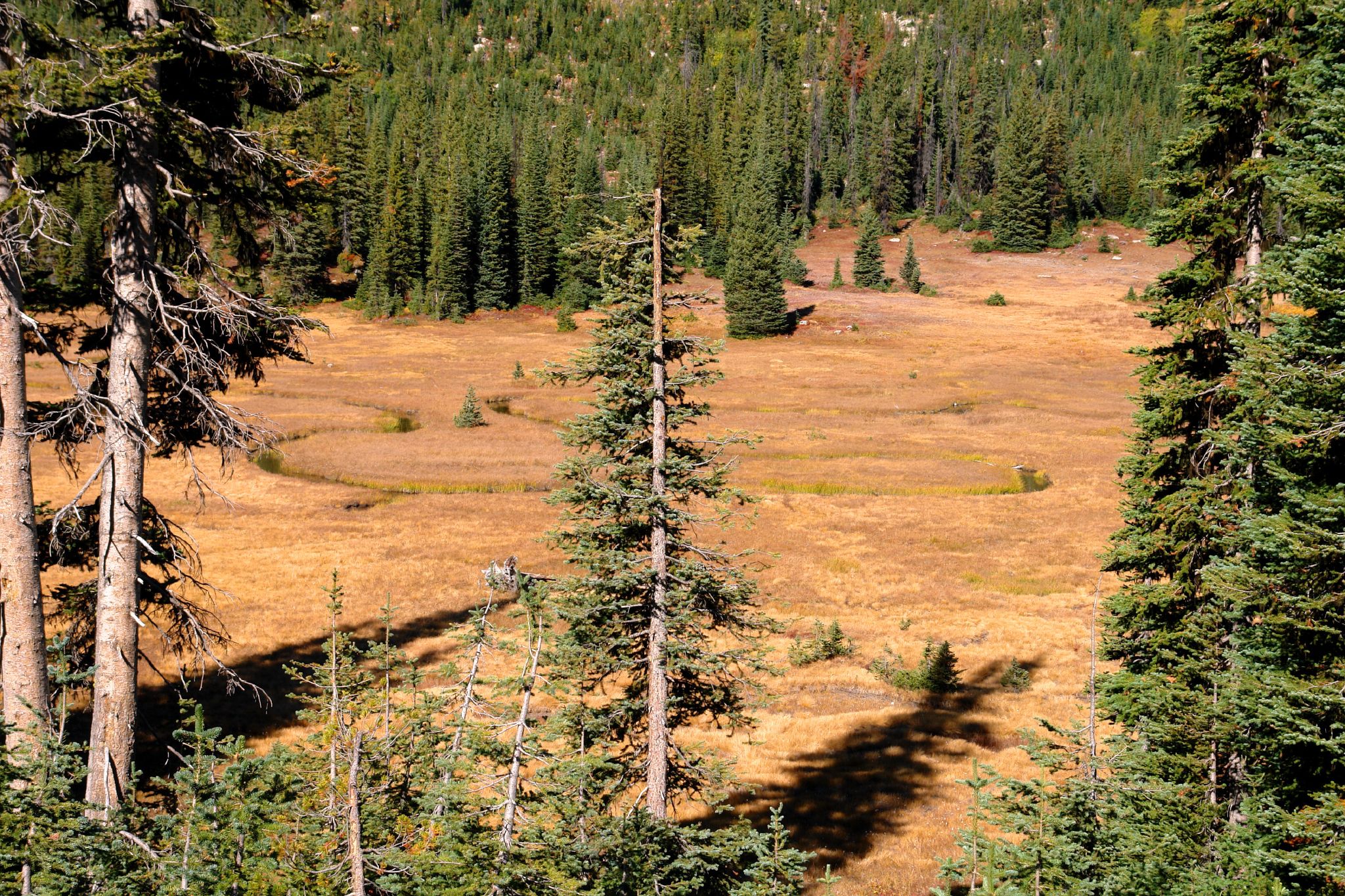
Meandering Creek

View from our campsite
IMG_3479.JPG
Mapa de Abernathy Ridge, Washington, EE. UU.
Buscar otro lugar
Lugares cercanos
Abernathy Peak, Washington, EE. UU.
South Creek Campground, Winthrop, WA, Estados Unidos
Midnight Mountain, Washington, EE. UU.
Gilbert Mountain, Washington, EE. UU.
Crescent Mountain, Washington, EE. UU.
Early Winters Creek, Washington, EE. UU.
Snagtooth Ridge, Washington, EE. UU.
Silver Star Mountain, Washington, EE. UU.
Lincoln Butte, Washington, EE. UU.
Kangaroo Ridge, Washington, EE. UU.
Vasiliki Ridge, Washington, EE. UU.
North Cascade Heli-Skiing, 31 Early Winters Dr, Mazama, WA, EE. UU.
Splawn Mountain, Washington, EE. UU.
Twisp Mountain, Washington, EE. UU.
Mazama, Washington, EE. UU.
Battle Mountain, Washington, EE. UU.
Boulder Butte, Washington, EE. UU.
Early Winters Spires South, Washington, EE. UU.
McAlester Mountain, Washington, EE. UU.
Hock Mountain, Washington, EE. UU.
Búsquedas recientes
- Horas de salida y puesta de sol de Red Dog Mine, AK, USA
- Horas de salida y puesta de sol de Am Bahnhof, Am bhf, Borken, Germany
- Horas de salida y puesta de sol de 4th St E, Sonoma, CA, EE. UU.
- Horas de salida y puesta de sol de Oakland Ave, Williamsport, PA, EE. UU.
- Horas de salida y puesta de sol de Via Roma, Pieranica CR, Italia
- Horas de salida y puesta de sol de Torre del reloj, Grad, Dubrovnik (Ragusa), Croacia
- Horas de salida y puesta de sol de Trelew, Chubut, Argentina
- Horas de salida y puesta de sol de Hartfords Bluff Cir, Mt Pleasant, SC, EE. UU.
- Horas de salida y puesta de sol de Kita Ward, Kumamoto, Japón
- Horas de salida y puesta de sol de Pingtan Island, Pingtan County, Fuzhou, China