74 Potato Hill Rd, North Woodstock, NH アメリカ合衆国日の出日の入り時間
Location: アメリカ合衆国 > ニュー・ハンプシャー州 > グラフトン > アメリカ合衆国 ニュー・ハンプシャー州 ウッドストック > ノース・ウッドストック >
時間帯:
America/New_York
現地時間:
2025-06-24 13:40:35
経度:
-71.6866412
緯度:
43.9821912
今日の日の出時刻:
05:05:22 AM
今日の日の入時刻:
08:33:45 PM
今日の日長:
15h 28m 23s
明日の日の出時刻:
05:05:45 AM
明日の日の入時刻:
08:33:46 PM
明日の日長:
15h 28m 1s
すべて表示する
| 日付 | 日出 | 日没 | 日長 |
|---|---|---|---|
| 2025年01月01日 | 07:21:19 AM | 04:20:22 PM | 8h 59m 3s |
| 2025年01月02日 | 07:21:19 AM | 04:21:18 PM | 8h 59m 59s |
| 2025年01月03日 | 07:21:15 AM | 04:22:16 PM | 9h 1m 1s |
| 2025年01月04日 | 07:21:09 AM | 04:23:16 PM | 9h 2m 7s |
| 2025年01月05日 | 07:21:01 AM | 04:24:17 PM | 9h 3m 16s |
| 2025年01月06日 | 07:20:50 AM | 04:25:20 PM | 9h 4m 30s |
| 2025年01月07日 | 07:20:37 AM | 04:26:24 PM | 9h 5m 47s |
| 2025年01月08日 | 07:20:21 AM | 04:27:29 PM | 9h 7m 8s |
| 2025年01月09日 | 07:20:03 AM | 04:28:36 PM | 9h 8m 33s |
| 2025年01月10日 | 07:19:42 AM | 04:29:45 PM | 9h 10m 3s |
| 2025年01月11日 | 07:19:18 AM | 04:30:54 PM | 9h 11m 36s |
| 2025年01月12日 | 07:18:53 AM | 04:32:05 PM | 9h 13m 12s |
| 2025年01月13日 | 07:18:25 AM | 04:33:17 PM | 9h 14m 52s |
| 2025年01月14日 | 07:17:54 AM | 04:34:30 PM | 9h 16m 36s |
| 2025年01月15日 | 07:17:21 AM | 04:35:44 PM | 9h 18m 23s |
| 2025年01月16日 | 07:16:46 AM | 04:36:59 PM | 9h 20m 13s |
| 2025年01月17日 | 07:16:08 AM | 04:38:15 PM | 9h 22m 7s |
| 2025年01月18日 | 07:15:29 AM | 04:39:31 PM | 9h 24m 2s |
| 2025年01月19日 | 07:14:47 AM | 04:40:49 PM | 9h 26m 2s |
| 2025年01月20日 | 07:14:02 AM | 04:42:07 PM | 9h 28m 5s |
| 2025年01月21日 | 07:13:16 AM | 04:43:26 PM | 9h 30m 10s |
| 2025年01月22日 | 07:12:27 AM | 04:44:45 PM | 9h 32m 18s |
| 2025年01月23日 | 07:11:36 AM | 04:46:05 PM | 9h 34m 29s |
| 2025年01月24日 | 07:10:44 AM | 04:47:26 PM | 9h 36m 42s |
| 2025年01月25日 | 07:09:49 AM | 04:48:47 PM | 9h 38m 58s |
| 2025年01月26日 | 07:08:52 AM | 04:50:08 PM | 9h 41m 16s |
| 2025年01月27日 | 07:07:53 AM | 04:51:29 PM | 9h 43m 36s |
| 2025年01月28日 | 07:06:52 AM | 04:52:51 PM | 9h 45m 59s |
| 2025年01月29日 | 07:05:50 AM | 04:54:14 PM | 9h 48m 24s |
| 2025年01月30日 | 07:04:45 AM | 04:55:36 PM | 9h 50m 51s |
| 2025年01月31日 | 07:03:39 AM | 04:56:59 PM | 9h 53m 20s |
| 2025年02月01日 | 07:02:31 AM | 04:58:22 PM | 9h 55m 51s |
| 2025年02月02日 | 07:01:21 AM | 04:59:44 PM | 9h 58m 23s |
| 2025年02月03日 | 07:00:09 AM | 05:01:07 PM | 10h 0m 58s |
| 2025年02月04日 | 06:58:56 AM | 05:02:30 PM | 10h 3m 34s |
| 2025年02月05日 | 06:57:41 AM | 05:03:53 PM | 10h 6m 12s |
| 2025年02月06日 | 06:56:25 AM | 05:05:16 PM | 10h 8m 51s |
| 2025年02月07日 | 06:55:07 AM | 05:06:39 PM | 10h 11m 32s |
| 2025年02月08日 | 06:53:48 AM | 05:08:02 PM | 10h 14m 14s |
| 2025年02月09日 | 06:52:27 AM | 05:09:25 PM | 10h 16m 58s |
| 2025年02月10日 | 06:51:04 AM | 05:10:48 PM | 10h 19m 44s |
| 2025年02月11日 | 06:49:41 AM | 05:12:10 PM | 10h 22m 29s |
| 2025年02月12日 | 06:48:16 AM | 05:13:33 PM | 10h 25m 17s |
| 2025年02月13日 | 06:46:49 AM | 05:14:55 PM | 10h 28m 6s |
| 2025年02月14日 | 06:45:22 AM | 05:16:17 PM | 10h 30m 55s |
| 2025年02月15日 | 06:43:53 AM | 05:17:38 PM | 10h 33m 45s |
| 2025年02月16日 | 06:42:23 AM | 05:19:00 PM | 10h 36m 37s |
| 2025年02月17日 | 06:40:52 AM | 05:20:21 PM | 10h 39m 29s |
| 2025年02月18日 | 06:39:20 AM | 05:21:42 PM | 10h 42m 22s |
| 2025年02月19日 | 06:37:46 AM | 05:23:03 PM | 10h 45m 17s |
| 2025年02月20日 | 06:36:12 AM | 05:24:24 PM | 10h 48m 12s |
| 2025年02月21日 | 06:34:37 AM | 05:25:44 PM | 10h 51m 7s |
| 2025年02月22日 | 06:33:00 AM | 05:27:04 PM | 10h 54m 4s |
| 2025年02月23日 | 06:31:23 AM | 05:28:24 PM | 10h 57m 1s |
| 2025年02月24日 | 06:29:45 AM | 05:29:43 PM | 10h 59m 58s |
| 2025年02月25日 | 06:28:06 AM | 05:31:02 PM | 11h 2m 56s |
| 2025年02月26日 | 06:26:26 AM | 05:32:21 PM | 11h 5m 55s |
| 2025年02月27日 | 06:24:45 AM | 05:33:40 PM | 11h 8m 55s |
| 2025年02月28日 | 06:23:04 AM | 05:34:58 PM | 11h 11m 54s |
| 2025年03月01日 | 06:21:22 AM | 05:36:16 PM | 11h 14m 54s |
| 2025年03月02日 | 06:19:39 AM | 05:37:34 PM | 11h 17m 55s |
| 2025年03月03日 | 06:17:56 AM | 05:38:51 PM | 11h 20m 55s |
| 2025年03月04日 | 06:16:12 AM | 05:40:08 PM | 11h 23m 56s |
| 2025年03月05日 | 06:14:27 AM | 05:41:25 PM | 11h 26m 58s |
| 2025年03月06日 | 06:12:42 AM | 05:42:42 PM | 11h 30m 0s |
| 2025年03月07日 | 06:10:57 AM | 05:43:58 PM | 11h 33m 1s |
| 2025年03月08日 | 06:09:11 AM | 05:45:14 PM | 11h 36m 3s |
| 2025年03月09日 | 07:07:28 AM | 06:46:27 PM | 11h 38m 59s |
| 2025年03月10日 | 07:05:41 AM | 06:47:42 PM | 11h 42m 1s |
| 2025年03月11日 | 07:03:54 AM | 06:48:58 PM | 11h 45m 4s |
| 2025年03月12日 | 07:02:06 AM | 06:50:13 PM | 11h 48m 7s |
| 2025年03月13日 | 07:00:19 AM | 06:51:28 PM | 11h 51m 9s |
| 2025年03月14日 | 06:58:30 AM | 06:52:43 PM | 11h 54m 13s |
| 2025年03月15日 | 06:56:42 AM | 06:53:57 PM | 11h 57m 15s |
| 2025年03月16日 | 06:54:53 AM | 06:55:12 PM | 12h 0m 19s |
| 2025年03月17日 | 06:53:04 AM | 06:56:26 PM | 12h 3m 22s |
| 2025年03月18日 | 06:51:15 AM | 06:57:40 PM | 12h 6m 25s |
| 2025年03月19日 | 06:49:26 AM | 06:58:54 PM | 12h 9m 28s |
| 2025年03月20日 | 06:47:36 AM | 07:00:08 PM | 12h 12m 32s |
| 2025年03月21日 | 06:45:47 AM | 07:01:21 PM | 12h 15m 34s |
| 2025年03月22日 | 06:43:58 AM | 07:02:35 PM | 12h 18m 37s |
| 2025年03月23日 | 06:42:08 AM | 07:03:48 PM | 12h 21m 40s |
| 2025年03月24日 | 06:40:19 AM | 07:05:01 PM | 12h 24m 42s |
| 2025年03月25日 | 06:38:29 AM | 07:06:14 PM | 12h 27m 45s |
| 2025年03月26日 | 06:36:40 AM | 07:07:27 PM | 12h 30m 47s |
| 2025年03月27日 | 06:34:51 AM | 07:08:40 PM | 12h 33m 49s |
| 2025年03月28日 | 06:33:02 AM | 07:09:53 PM | 12h 36m 51s |
| 2025年03月29日 | 06:31:13 AM | 07:11:06 PM | 12h 39m 53s |
| 2025年03月30日 | 06:29:25 AM | 07:12:19 PM | 12h 42m 54s |
| 2025年03月31日 | 06:27:36 AM | 07:13:31 PM | 12h 45m 55s |
| 2025年04月01日 | 06:25:48 AM | 07:14:44 PM | 12h 48m 56s |
| 2025年04月02日 | 06:24:00 AM | 07:15:57 PM | 12h 51m 57s |
| 2025年04月03日 | 06:22:13 AM | 07:17:09 PM | 12h 54m 56s |
| 2025年04月04日 | 06:20:26 AM | 07:18:22 PM | 12h 57m 56s |
| 2025年04月05日 | 06:18:39 AM | 07:19:34 PM | 13h 0m 55s |
| 2025年04月06日 | 06:16:53 AM | 07:20:47 PM | 13h 3m 54s |
| 2025年04月07日 | 06:15:07 AM | 07:22:00 PM | 13h 6m 53s |
| 2025年04月08日 | 06:13:22 AM | 07:23:12 PM | 13h 9m 50s |
| 2025年04月09日 | 06:11:37 AM | 07:24:25 PM | 13h 12m 48s |
| 2025年04月10日 | 06:09:53 AM | 07:25:37 PM | 13h 15m 44s |
| 2025年04月11日 | 06:08:09 AM | 07:26:50 PM | 13h 18m 41s |
| 2025年04月12日 | 06:06:26 AM | 07:28:02 PM | 13h 21m 36s |
| 2025年04月13日 | 06:04:44 AM | 07:29:15 PM | 13h 24m 31s |
| 2025年04月14日 | 06:03:02 AM | 07:30:27 PM | 13h 27m 25s |
| 2025年04月15日 | 06:01:21 AM | 07:31:40 PM | 13h 30m 19s |
| 2025年04月16日 | 05:59:41 AM | 07:32:52 PM | 13h 33m 11s |
| 2025年04月17日 | 05:58:02 AM | 07:34:05 PM | 13h 36m 3s |
| 2025年04月18日 | 05:56:23 AM | 07:35:17 PM | 13h 38m 54s |
| 2025年04月19日 | 05:54:45 AM | 07:36:30 PM | 13h 41m 45s |
| 2025年04月20日 | 05:53:09 AM | 07:37:42 PM | 13h 44m 33s |
| 2025年04月21日 | 05:51:33 AM | 07:38:55 PM | 13h 47m 22s |
| 2025年04月22日 | 05:49:58 AM | 07:40:07 PM | 13h 50m 9s |
| 2025年04月23日 | 05:48:24 AM | 07:41:20 PM | 13h 52m 56s |
| 2025年04月24日 | 05:46:51 AM | 07:42:32 PM | 13h 55m 41s |
| 2025年04月25日 | 05:45:19 AM | 07:43:44 PM | 13h 58m 25s |
| 2025年04月26日 | 05:43:48 AM | 07:44:56 PM | 14h 1m 8s |
| 2025年04月27日 | 05:42:18 AM | 07:46:08 PM | 14h 3m 50s |
| 2025年04月28日 | 05:40:50 AM | 07:47:20 PM | 14h 6m 30s |
| 2025年04月29日 | 05:39:23 AM | 07:48:31 PM | 14h 9m 8s |
| 2025年04月30日 | 05:37:57 AM | 07:49:43 PM | 14h 11m 46s |
| 2025年05月01日 | 05:36:32 AM | 07:50:54 PM | 14h 14m 22s |
| 2025年05月02日 | 05:35:08 AM | 07:52:05 PM | 14h 16m 57s |
| 2025年05月03日 | 05:33:46 AM | 07:53:16 PM | 14h 19m 30s |
| 2025年05月04日 | 05:32:25 AM | 07:54:27 PM | 14h 22m 2s |
| 2025年05月05日 | 05:31:06 AM | 07:55:37 PM | 14h 24m 31s |
| 2025年05月06日 | 05:29:48 AM | 07:56:47 PM | 14h 26m 59s |
| 2025年05月07日 | 05:28:31 AM | 07:57:57 PM | 14h 29m 26s |
| 2025年05月08日 | 05:27:16 AM | 07:59:06 PM | 14h 31m 50s |
| 2025年05月09日 | 05:26:03 AM | 08:00:15 PM | 14h 34m 12s |
| 2025年05月10日 | 05:24:51 AM | 08:01:23 PM | 14h 36m 32s |
| 2025年05月11日 | 05:23:41 AM | 08:02:31 PM | 14h 38m 50s |
| 2025年05月12日 | 05:22:32 AM | 08:03:39 PM | 14h 41m 7s |
| 2025年05月13日 | 05:21:26 AM | 08:04:46 PM | 14h 43m 20s |
| 2025年05月14日 | 05:20:20 AM | 08:05:52 PM | 14h 45m 32s |
| 2025年05月15日 | 05:19:17 AM | 08:06:58 PM | 14h 47m 41s |
| 2025年05月16日 | 05:18:15 AM | 08:08:03 PM | 14h 49m 48s |
| 2025年05月17日 | 05:17:16 AM | 08:09:07 PM | 14h 51m 51s |
| 2025年05月18日 | 05:16:18 AM | 08:10:11 PM | 14h 53m 53s |
| 2025年05月19日 | 05:15:22 AM | 08:11:14 PM | 14h 55m 52s |
| 2025年05月20日 | 05:14:27 AM | 08:12:16 PM | 14h 57m 49s |
| 2025年05月21日 | 05:13:35 AM | 08:13:17 PM | 14h 59m 42s |
| 2025年05月22日 | 05:12:45 AM | 08:14:17 PM | 15h 1m 32s |
| 2025年05月23日 | 05:11:57 AM | 08:15:16 PM | 15h 3m 19s |
| 2025年05月24日 | 05:11:10 AM | 08:16:15 PM | 15h 5m 5s |
| 2025年05月25日 | 05:10:26 AM | 08:17:12 PM | 15h 6m 46s |
| 2025年05月26日 | 05:09:44 AM | 08:18:08 PM | 15h 8m 24s |
| 2025年05月27日 | 05:09:04 AM | 08:19:03 PM | 15h 9m 59s |
| 2025年05月28日 | 05:08:26 AM | 08:19:56 PM | 15h 11m 30s |
| 2025年05月29日 | 05:07:50 AM | 08:20:49 PM | 15h 12m 59s |
| 2025年05月30日 | 05:07:16 AM | 08:21:40 PM | 15h 14m 24s |
| 2025年05月31日 | 05:06:45 AM | 08:22:30 PM | 15h 15m 45s |
| 2025年06月01日 | 05:06:15 AM | 08:23:18 PM | 15h 17m 3s |
| 2025年06月02日 | 05:05:48 AM | 08:24:05 PM | 15h 18m 17s |
| 2025年06月03日 | 05:05:23 AM | 08:24:50 PM | 15h 19m 27s |
| 2025年06月04日 | 05:05:01 AM | 08:25:34 PM | 15h 20m 33s |
| 2025年06月05日 | 05:04:40 AM | 08:26:16 PM | 15h 21m 36s |
| 2025年06月06日 | 05:04:22 AM | 08:26:57 PM | 15h 22m 35s |
| 2025年06月07日 | 05:04:06 AM | 08:27:36 PM | 15h 23m 30s |
| 2025年06月08日 | 05:03:52 AM | 08:28:13 PM | 15h 24m 21s |
| 2025年06月09日 | 05:03:41 AM | 08:28:49 PM | 15h 25m 8s |
| 2025年06月10日 | 05:03:31 AM | 08:29:22 PM | 15h 25m 51s |
| 2025年06月11日 | 05:03:24 AM | 08:29:54 PM | 15h 26m 30s |
| 2025年06月12日 | 05:03:19 AM | 08:30:24 PM | 15h 27m 5s |
| 2025年06月13日 | 05:03:17 AM | 08:30:52 PM | 15h 27m 35s |
| 2025年06月14日 | 05:03:16 AM | 08:31:18 PM | 15h 28m 2s |
| 2025年06月15日 | 05:03:18 AM | 08:31:42 PM | 15h 28m 24s |
| 2025年06月16日 | 05:03:22 AM | 08:32:04 PM | 15h 28m 42s |
| 2025年06月17日 | 05:03:28 AM | 08:32:24 PM | 15h 28m 56s |
| 2025年06月18日 | 05:03:37 AM | 08:32:42 PM | 15h 29m 5s |
| 2025年06月19日 | 05:03:47 AM | 08:32:57 PM | 15h 29m 10s |
| 2025年06月20日 | 05:04:00 AM | 08:33:11 PM | 15h 29m 11s |
| 2025年06月21日 | 05:04:14 AM | 08:33:22 PM | 15h 29m 8s |
| 2025年06月22日 | 05:04:31 AM | 08:33:32 PM | 15h 29m 1s |
| 2025年06月23日 | 05:04:50 AM | 08:33:39 PM | 15h 28m 49s |
| 2025年06月24日 | 05:05:11 AM | 08:33:43 PM | 15h 28m 32s |
| 2025年06月25日 | 05:05:33 AM | 08:33:46 PM | 15h 28m 13s |
| 2025年06月26日 | 05:05:58 AM | 08:33:46 PM | 15h 27m 48s |
| 2025年06月27日 | 05:06:25 AM | 08:33:44 PM | 15h 27m 19s |
| 2025年06月28日 | 05:06:53 AM | 08:33:40 PM | 15h 26m 47s |
| 2025年06月29日 | 05:07:23 AM | 08:33:33 PM | 15h 26m 10s |
| 2025年06月30日 | 05:07:55 AM | 08:33:25 PM | 15h 25m 30s |
| 2025年07月01日 | 05:08:29 AM | 08:33:14 PM | 15h 24m 45s |
| 2025年07月02日 | 05:09:05 AM | 08:33:00 PM | 15h 23m 55s |
| 2025年07月03日 | 05:09:42 AM | 08:32:44 PM | 15h 23m 2s |
| 2025年07月04日 | 05:10:21 AM | 08:32:27 PM | 15h 22m 6s |
| 2025年07月05日 | 05:11:01 AM | 08:32:06 PM | 15h 21m 5s |
| 2025年07月06日 | 05:11:43 AM | 08:31:44 PM | 15h 20m 1s |
| 2025年07月07日 | 05:12:27 AM | 08:31:19 PM | 15h 18m 52s |
| 2025年07月08日 | 05:13:11 AM | 08:30:52 PM | 15h 17m 41s |
| 2025年07月09日 | 05:13:58 AM | 08:30:23 PM | 15h 16m 25s |
| 2025年07月10日 | 05:14:45 AM | 08:29:51 PM | 15h 15m 6s |
| 2025年07月11日 | 05:15:34 AM | 08:29:18 PM | 15h 13m 44s |
| 2025年07月12日 | 05:16:24 AM | 08:28:42 PM | 15h 12m 18s |
| 2025年07月13日 | 05:17:16 AM | 08:28:04 PM | 15h 10m 48s |
| 2025年07月14日 | 05:18:08 AM | 08:27:24 PM | 15h 9m 16s |
| 2025年07月15日 | 05:19:02 AM | 08:26:42 PM | 15h 7m 40s |
| 2025年07月16日 | 05:19:56 AM | 08:25:57 PM | 15h 6m 1s |
| 2025年07月17日 | 05:20:52 AM | 08:25:11 PM | 15h 4m 19s |
| 2025年07月18日 | 05:21:49 AM | 08:24:22 PM | 15h 2m 33s |
| 2025年07月19日 | 05:22:46 AM | 08:23:32 PM | 15h 0m 46s |
| 2025年07月20日 | 05:23:44 AM | 08:22:39 PM | 14h 58m 55s |
| 2025年07月21日 | 05:24:44 AM | 08:21:45 PM | 14h 57m 1s |
| 2025年07月22日 | 05:25:44 AM | 08:20:49 PM | 14h 55m 5s |
| 2025年07月23日 | 05:26:44 AM | 08:19:50 PM | 14h 53m 6s |
| 2025年07月24日 | 05:27:46 AM | 08:18:50 PM | 14h 51m 4s |
| 2025年07月25日 | 05:28:48 AM | 08:17:48 PM | 14h 49m 0s |
| 2025年07月26日 | 05:29:51 AM | 08:16:44 PM | 14h 46m 53s |
| 2025年07月27日 | 05:30:54 AM | 08:15:39 PM | 14h 44m 45s |
| 2025年07月28日 | 05:31:58 AM | 08:14:31 PM | 14h 42m 33s |
| 2025年07月29日 | 05:33:02 AM | 08:13:22 PM | 14h 40m 20s |
| 2025年07月30日 | 05:34:07 AM | 08:12:12 PM | 14h 38m 5s |
| 2025年07月31日 | 05:35:12 AM | 08:10:59 PM | 14h 35m 47s |
| 2025年08月01日 | 05:36:17 AM | 08:09:45 PM | 14h 33m 28s |
| 2025年08月02日 | 05:37:23 AM | 08:08:30 PM | 14h 31m 7s |
| 2025年08月03日 | 05:38:29 AM | 08:07:13 PM | 14h 28m 44s |
| 2025年08月04日 | 05:39:36 AM | 08:05:54 PM | 14h 26m 18s |
| 2025年08月05日 | 05:40:43 AM | 08:04:34 PM | 14h 23m 51s |
| 2025年08月06日 | 05:41:50 AM | 08:03:13 PM | 14h 21m 23s |
| 2025年08月07日 | 05:42:57 AM | 08:01:50 PM | 14h 18m 53s |
| 2025年08月08日 | 05:44:05 AM | 08:00:26 PM | 14h 16m 21s |
| 2025年08月09日 | 05:45:12 AM | 07:59:00 PM | 14h 13m 48s |
| 2025年08月10日 | 05:46:20 AM | 07:57:33 PM | 14h 11m 13s |
| 2025年08月11日 | 05:47:28 AM | 07:56:05 PM | 14h 8m 37s |
| 2025年08月12日 | 05:48:36 AM | 07:54:36 PM | 14h 6m 0s |
| 2025年08月13日 | 05:49:44 AM | 07:53:05 PM | 14h 3m 21s |
| 2025年08月14日 | 05:50:52 AM | 07:51:34 PM | 14h 0m 42s |
| 2025年08月15日 | 05:52:01 AM | 07:50:01 PM | 13h 58m 0s |
| 2025年08月16日 | 05:53:09 AM | 07:48:27 PM | 13h 55m 18s |
| 2025年08月17日 | 05:54:17 AM | 07:46:52 PM | 13h 52m 35s |
| 2025年08月18日 | 05:55:26 AM | 07:45:16 PM | 13h 49m 50s |
| 2025年08月19日 | 05:56:34 AM | 07:43:39 PM | 13h 47m 5s |
| 2025年08月20日 | 05:57:42 AM | 07:42:01 PM | 13h 44m 19s |
| 2025年08月21日 | 05:58:51 AM | 07:40:23 PM | 13h 41m 32s |
| 2025年08月22日 | 05:59:59 AM | 07:38:43 PM | 13h 38m 44s |
| 2025年08月23日 | 06:01:07 AM | 07:37:02 PM | 13h 35m 55s |
| 2025年08月24日 | 06:02:16 AM | 07:35:21 PM | 13h 33m 5s |
| 2025年08月25日 | 06:03:24 AM | 07:33:39 PM | 13h 30m 15s |
| 2025年08月26日 | 06:04:32 AM | 07:31:56 PM | 13h 27m 24s |
| 2025年08月27日 | 06:05:40 AM | 07:30:13 PM | 13h 24m 33s |
| 2025年08月28日 | 06:06:49 AM | 07:28:28 PM | 13h 21m 39s |
| 2025年08月29日 | 06:07:57 AM | 07:26:44 PM | 13h 18m 47s |
| 2025年08月30日 | 06:09:05 AM | 07:24:58 PM | 13h 15m 53s |
| 2025年08月31日 | 06:10:13 AM | 07:23:12 PM | 13h 12m 59s |
| 2025年09月01日 | 06:11:21 AM | 07:21:25 PM | 13h 10m 4s |
| 2025年09月02日 | 06:12:29 AM | 07:19:38 PM | 13h 7m 9s |
| 2025年09月03日 | 06:13:37 AM | 07:17:51 PM | 13h 4m 14s |
| 2025年09月04日 | 06:14:45 AM | 07:16:02 PM | 13h 1m 17s |
| 2025年09月05日 | 06:15:53 AM | 07:14:14 PM | 12h 58m 21s |
| 2025年09月06日 | 06:17:01 AM | 07:12:25 PM | 12h 55m 24s |
| 2025年09月07日 | 06:18:09 AM | 07:10:36 PM | 12h 52m 27s |
| 2025年09月08日 | 06:19:17 AM | 07:08:46 PM | 12h 49m 29s |
| 2025年09月09日 | 06:20:25 AM | 07:06:56 PM | 12h 46m 31s |
| 2025年09月10日 | 06:21:33 AM | 07:05:06 PM | 12h 43m 33s |
| 2025年09月11日 | 06:22:41 AM | 07:03:15 PM | 12h 40m 34s |
| 2025年09月12日 | 06:23:49 AM | 07:01:25 PM | 12h 37m 36s |
| 2025年09月13日 | 06:24:57 AM | 06:59:34 PM | 12h 34m 37s |
| 2025年09月14日 | 06:26:06 AM | 06:57:43 PM | 12h 31m 37s |
| 2025年09月15日 | 06:27:14 AM | 06:55:52 PM | 12h 28m 38s |
| 2025年09月16日 | 06:28:22 AM | 06:54:00 PM | 12h 25m 38s |
| 2025年09月17日 | 06:29:31 AM | 06:52:09 PM | 12h 22m 38s |
| 2025年09月18日 | 06:30:39 AM | 06:50:18 PM | 12h 19m 39s |
| 2025年09月19日 | 06:31:48 AM | 06:48:26 PM | 12h 16m 38s |
| 2025年09月20日 | 06:32:57 AM | 06:46:35 PM | 12h 13m 38s |
| 2025年09月21日 | 06:34:06 AM | 06:44:44 PM | 12h 10m 38s |
| 2025年09月22日 | 06:35:15 AM | 06:42:52 PM | 12h 7m 37s |
| 2025年09月23日 | 06:36:24 AM | 06:41:01 PM | 12h 4m 37s |
| 2025年09月24日 | 06:37:33 AM | 06:39:10 PM | 12h 1m 37s |
| 2025年09月25日 | 06:38:43 AM | 06:37:19 PM | 11h 58m 36s |
| 2025年09月26日 | 06:39:53 AM | 06:35:29 PM | 11h 55m 36s |
| 2025年09月27日 | 06:41:02 AM | 06:33:39 PM | 11h 52m 37s |
| 2025年09月28日 | 06:42:13 AM | 06:31:48 PM | 11h 49m 35s |
| 2025年09月29日 | 06:43:23 AM | 06:29:59 PM | 11h 46m 36s |
| 2025年09月30日 | 06:44:33 AM | 06:28:09 PM | 11h 43m 36s |
| 2025年10月01日 | 06:45:44 AM | 06:26:20 PM | 11h 40m 36s |
| 2025年10月02日 | 06:46:55 AM | 06:24:31 PM | 11h 37m 36s |
| 2025年10月03日 | 06:48:07 AM | 06:22:43 PM | 11h 34m 36s |
| 2025年10月04日 | 06:49:18 AM | 06:20:55 PM | 11h 31m 37s |
| 2025年10月05日 | 06:50:30 AM | 06:19:08 PM | 11h 28m 38s |
| 2025年10月06日 | 06:51:42 AM | 06:17:21 PM | 11h 25m 39s |
| 2025年10月07日 | 06:52:54 AM | 06:15:35 PM | 11h 22m 41s |
| 2025年10月08日 | 06:54:07 AM | 06:13:49 PM | 11h 19m 42s |
| 2025年10月09日 | 06:55:20 AM | 06:12:04 PM | 11h 16m 44s |
| 2025年10月10日 | 06:56:33 AM | 06:10:20 PM | 11h 13m 47s |
| 2025年10月11日 | 06:57:47 AM | 06:08:36 PM | 11h 10m 49s |
| 2025年10月12日 | 06:59:01 AM | 06:06:53 PM | 11h 7m 52s |
| 2025年10月13日 | 07:00:15 AM | 06:05:11 PM | 11h 4m 56s |
| 2025年10月14日 | 07:01:29 AM | 06:03:29 PM | 11h 2m 0s |
| 2025年10月15日 | 07:02:44 AM | 06:01:48 PM | 10h 59m 4s |
| 2025年10月16日 | 07:03:59 AM | 06:00:09 PM | 10h 56m 10s |
| 2025年10月17日 | 07:05:14 AM | 05:58:30 PM | 10h 53m 16s |
| 2025年10月18日 | 07:06:30 AM | 05:56:52 PM | 10h 50m 22s |
| 2025年10月19日 | 07:07:46 AM | 05:55:15 PM | 10h 47m 29s |
| 2025年10月20日 | 07:09:02 AM | 05:53:39 PM | 10h 44m 37s |
| 2025年10月21日 | 07:10:19 AM | 05:52:04 PM | 10h 41m 45s |
| 2025年10月22日 | 07:11:36 AM | 05:50:30 PM | 10h 38m 54s |
| 2025年10月23日 | 07:12:53 AM | 05:48:57 PM | 10h 36m 4s |
| 2025年10月24日 | 07:14:11 AM | 05:47:25 PM | 10h 33m 14s |
| 2025年10月25日 | 07:15:28 AM | 05:45:55 PM | 10h 30m 27s |
| 2025年10月26日 | 07:16:46 AM | 05:44:25 PM | 10h 27m 39s |
| 2025年10月27日 | 07:18:05 AM | 05:42:57 PM | 10h 24m 52s |
| 2025年10月28日 | 07:19:23 AM | 05:41:31 PM | 10h 22m 8s |
| 2025年10月29日 | 07:20:42 AM | 05:40:05 PM | 10h 19m 23s |
| 2025年10月30日 | 07:22:00 AM | 05:38:41 PM | 10h 16m 41s |
| 2025年10月31日 | 07:23:19 AM | 05:37:19 PM | 10h 14m 0s |
| 2025年11月01日 | 07:24:39 AM | 05:35:57 PM | 10h 11m 18s |
| 2025年11月02日 | 06:26:01 AM | 04:34:34 PM | 10h 8m 33s |
| 2025年11月03日 | 06:27:20 AM | 04:33:16 PM | 10h 5m 56s |
| 2025年11月04日 | 06:28:40 AM | 04:32:00 PM | 10h 3m 20s |
| 2025年11月05日 | 06:29:59 AM | 04:30:45 PM | 10h 0m 46s |
| 2025年11月06日 | 06:31:19 AM | 04:29:32 PM | 9h 58m 13s |
| 2025年11月07日 | 06:32:38 AM | 04:28:20 PM | 9h 55m 42s |
| 2025年11月08日 | 06:33:58 AM | 04:27:11 PM | 9h 53m 13s |
| 2025年11月09日 | 06:35:17 AM | 04:26:03 PM | 9h 50m 46s |
| 2025年11月10日 | 06:36:36 AM | 04:24:56 PM | 9h 48m 20s |
| 2025年11月11日 | 06:37:56 AM | 04:23:52 PM | 9h 45m 56s |
| 2025年11月12日 | 06:39:14 AM | 04:22:50 PM | 9h 43m 36s |
| 2025年11月13日 | 06:40:33 AM | 04:21:49 PM | 9h 41m 16s |
| 2025年11月14日 | 06:41:51 AM | 04:20:51 PM | 9h 39m 0s |
| 2025年11月15日 | 06:43:10 AM | 04:19:54 PM | 9h 36m 44s |
| 2025年11月16日 | 06:44:27 AM | 04:19:00 PM | 9h 34m 33s |
| 2025年11月17日 | 06:45:44 AM | 04:18:07 PM | 9h 32m 23s |
| 2025年11月18日 | 06:47:01 AM | 04:17:17 PM | 9h 30m 16s |
| 2025年11月19日 | 06:48:18 AM | 04:16:29 PM | 9h 28m 11s |
| 2025年11月20日 | 06:49:33 AM | 04:15:43 PM | 9h 26m 10s |
| 2025年11月21日 | 06:50:48 AM | 04:14:59 PM | 9h 24m 11s |
| 2025年11月22日 | 06:52:03 AM | 04:14:18 PM | 9h 22m 15s |
| 2025年11月23日 | 06:53:16 AM | 04:13:39 PM | 9h 20m 23s |
| 2025年11月24日 | 06:54:29 AM | 04:13:02 PM | 9h 18m 33s |
| 2025年11月25日 | 06:55:41 AM | 04:12:28 PM | 9h 16m 47s |
| 2025年11月26日 | 06:56:52 AM | 04:11:55 PM | 9h 15m 3s |
| 2025年11月27日 | 06:58:02 AM | 04:11:26 PM | 9h 13m 24s |
| 2025年11月28日 | 06:59:12 AM | 04:10:59 PM | 9h 11m 47s |
| 2025年11月29日 | 07:00:20 AM | 04:10:34 PM | 9h 10m 14s |
| 2025年11月30日 | 07:01:26 AM | 04:10:11 PM | 9h 8m 45s |
| 2025年12月01日 | 07:02:32 AM | 04:09:52 PM | 9h 7m 20s |
| 2025年12月02日 | 07:03:36 AM | 04:09:34 PM | 9h 5m 58s |
| 2025年12月03日 | 07:04:39 AM | 04:09:19 PM | 9h 4m 40s |
| 2025年12月04日 | 07:05:41 AM | 04:09:07 PM | 9h 3m 26s |
| 2025年12月05日 | 07:06:41 AM | 04:08:57 PM | 9h 2m 16s |
| 2025年12月06日 | 07:07:40 AM | 04:08:50 PM | 9h 1m 10s |
| 2025年12月07日 | 07:08:37 AM | 04:08:46 PM | 9h 0m 9s |
| 2025年12月08日 | 07:09:32 AM | 04:08:44 PM | 8h 59m 12s |
| 2025年12月09日 | 07:10:26 AM | 04:08:44 PM | 8h 58m 18s |
| 2025年12月10日 | 07:11:18 AM | 04:08:47 PM | 8h 57m 29s |
| 2025年12月11日 | 07:12:08 AM | 04:08:53 PM | 8h 56m 45s |
| 2025年12月12日 | 07:12:56 AM | 04:09:01 PM | 8h 56m 5s |
| 2025年12月13日 | 07:13:42 AM | 04:09:12 PM | 8h 55m 30s |
| 2025年12月14日 | 07:14:26 AM | 04:09:25 PM | 8h 54m 59s |
| 2025年12月15日 | 07:15:09 AM | 04:09:41 PM | 8h 54m 32s |
| 2025年12月16日 | 07:15:49 AM | 04:10:00 PM | 8h 54m 11s |
| 2025年12月17日 | 07:16:27 AM | 04:10:20 PM | 8h 53m 53s |
| 2025年12月18日 | 07:17:03 AM | 04:10:44 PM | 8h 53m 41s |
| 2025年12月19日 | 07:17:37 AM | 04:11:09 PM | 8h 53m 32s |
| 2025年12月20日 | 07:18:08 AM | 04:11:38 PM | 8h 53m 30s |
| 2025年12月21日 | 07:18:37 AM | 04:12:08 PM | 8h 53m 31s |
| 2025年12月22日 | 07:19:04 AM | 04:12:41 PM | 8h 53m 37s |
| 2025年12月23日 | 07:19:29 AM | 04:13:16 PM | 8h 53m 47s |
| 2025年12月24日 | 07:19:51 AM | 04:13:54 PM | 8h 54m 3s |
| 2025年12月25日 | 07:20:10 AM | 04:14:33 PM | 8h 54m 23s |
| 2025年12月26日 | 07:20:28 AM | 04:15:15 PM | 8h 54m 47s |
| 2025年12月27日 | 07:20:42 AM | 04:15:59 PM | 8h 55m 17s |
| 2025年12月28日 | 07:20:55 AM | 04:16:45 PM | 8h 55m 50s |
| 2025年12月29日 | 07:21:05 AM | 04:17:33 PM | 8h 56m 28s |
| 2025年12月30日 | 07:21:12 AM | 04:18:23 PM | 8h 57m 11s |
| 2025年12月31日 | 07:21:17 AM | 04:19:15 PM | 8h 57m 58s |
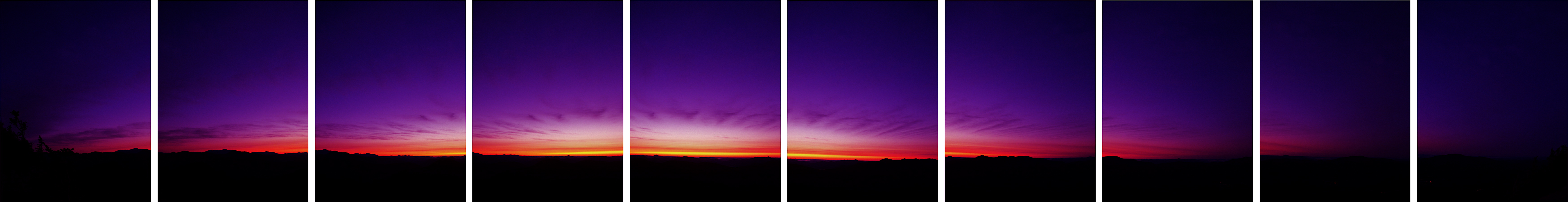
写真

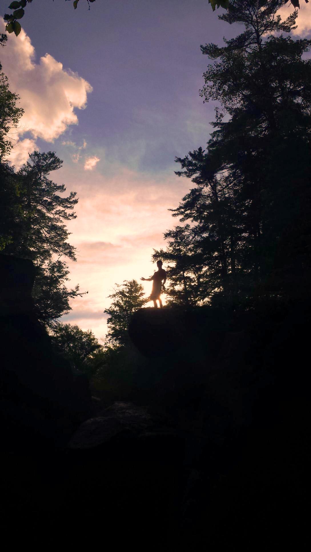
Ukelele sunset seranade

Will Says...

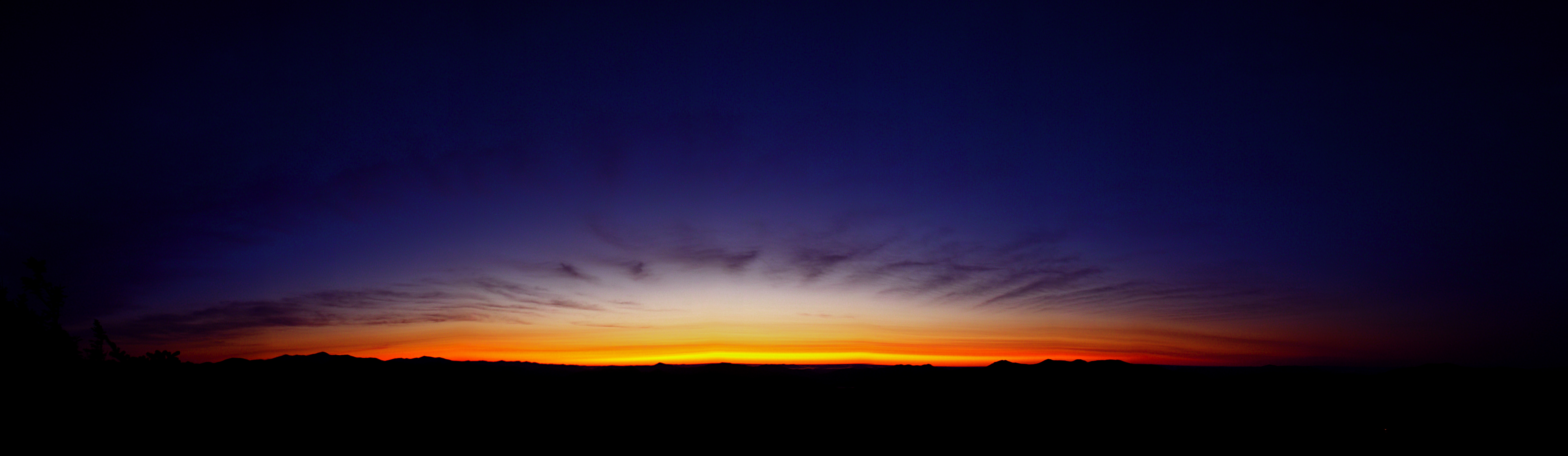
Sunset/Kancamagus Highway
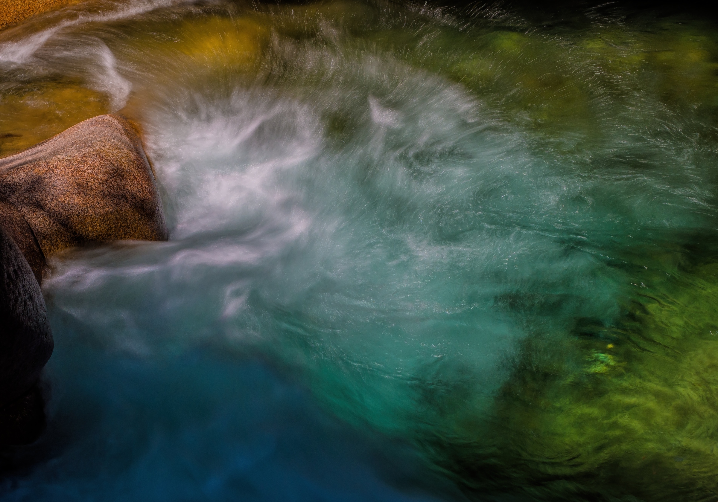
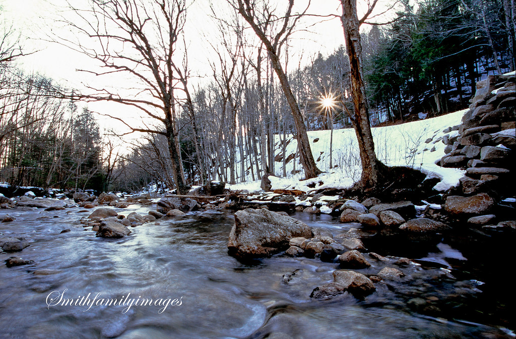
Pemigewasset river, The Basin, White Mountains, NH

The Fog That Surrounds

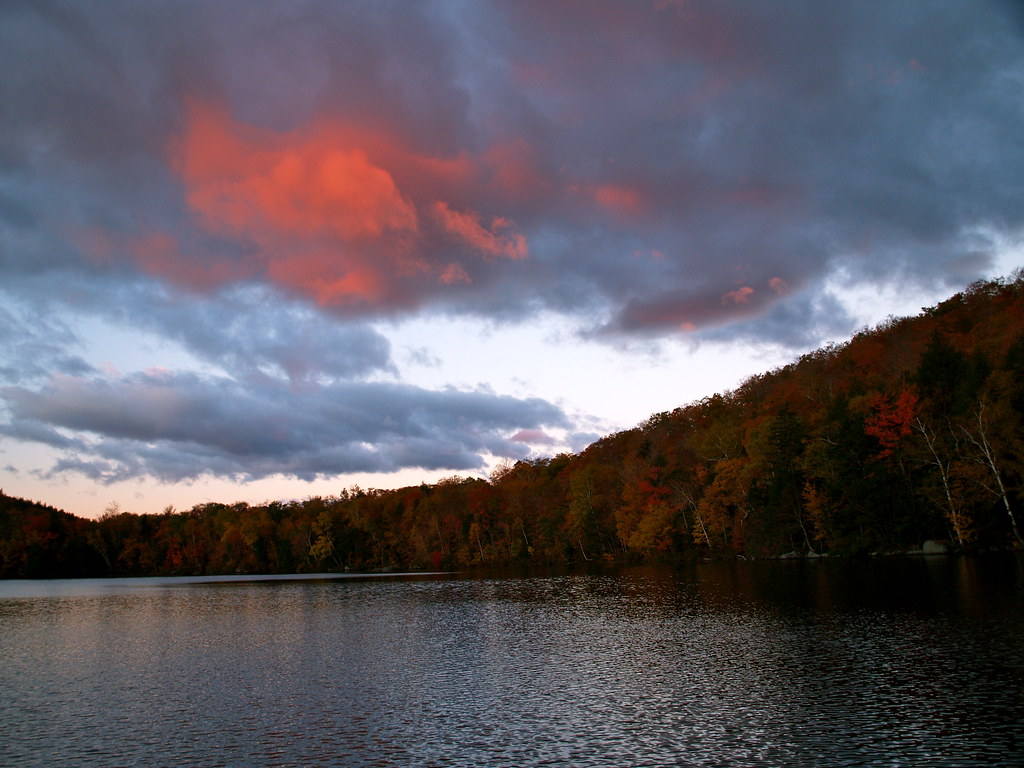
Summer Sunset on the Pemigewasset

The Road To Moosilauke
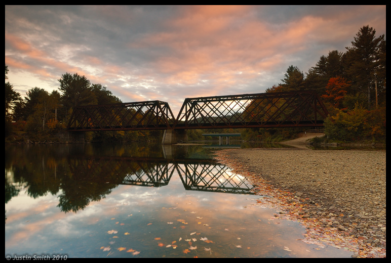
Rail Bridge over Pemi River #2
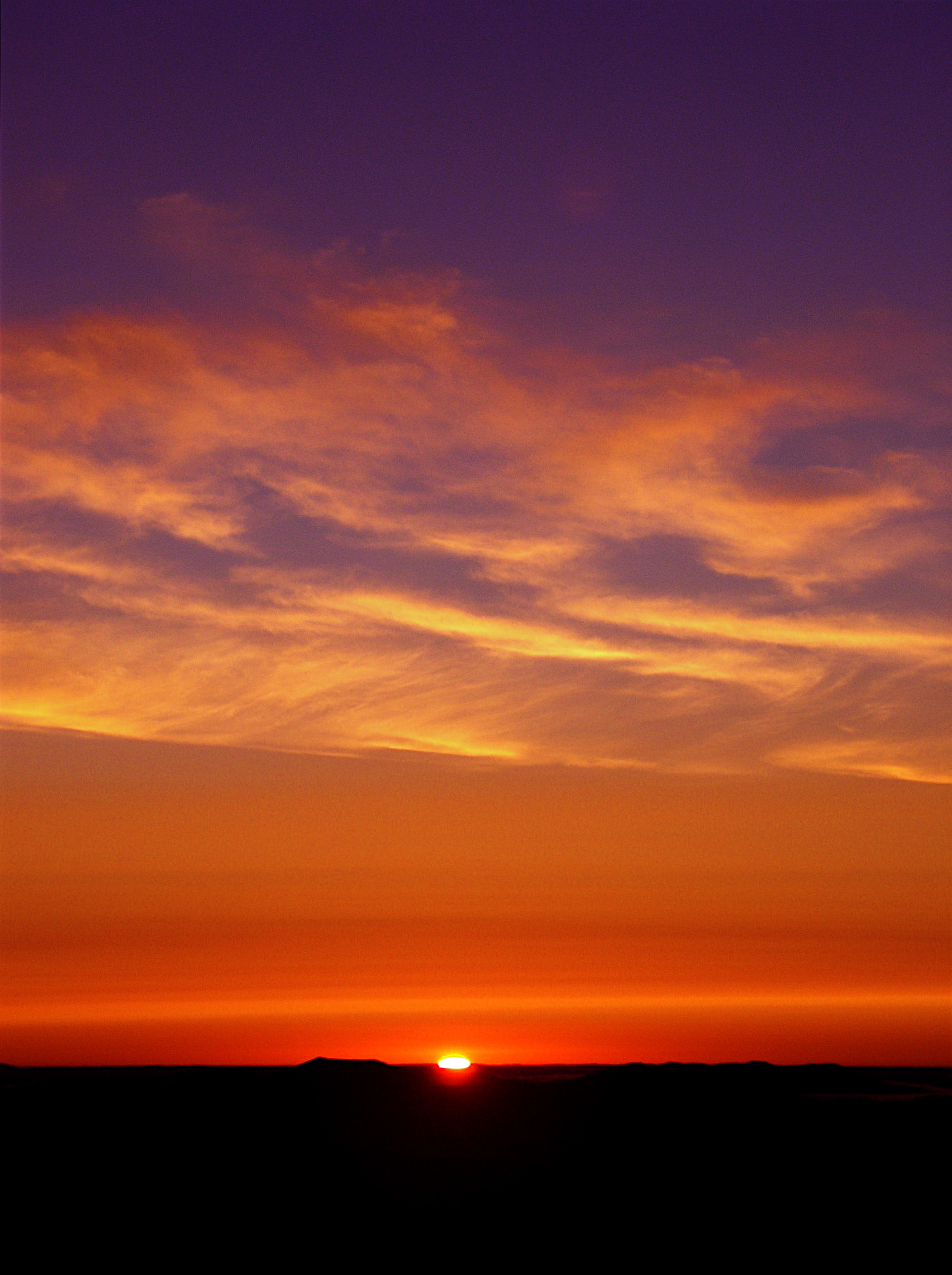
White Mountains\Sunset, NH
Agassiz Basin Sunset

Kancamagus Hwy_20140830_005
Pink Puff of Morning

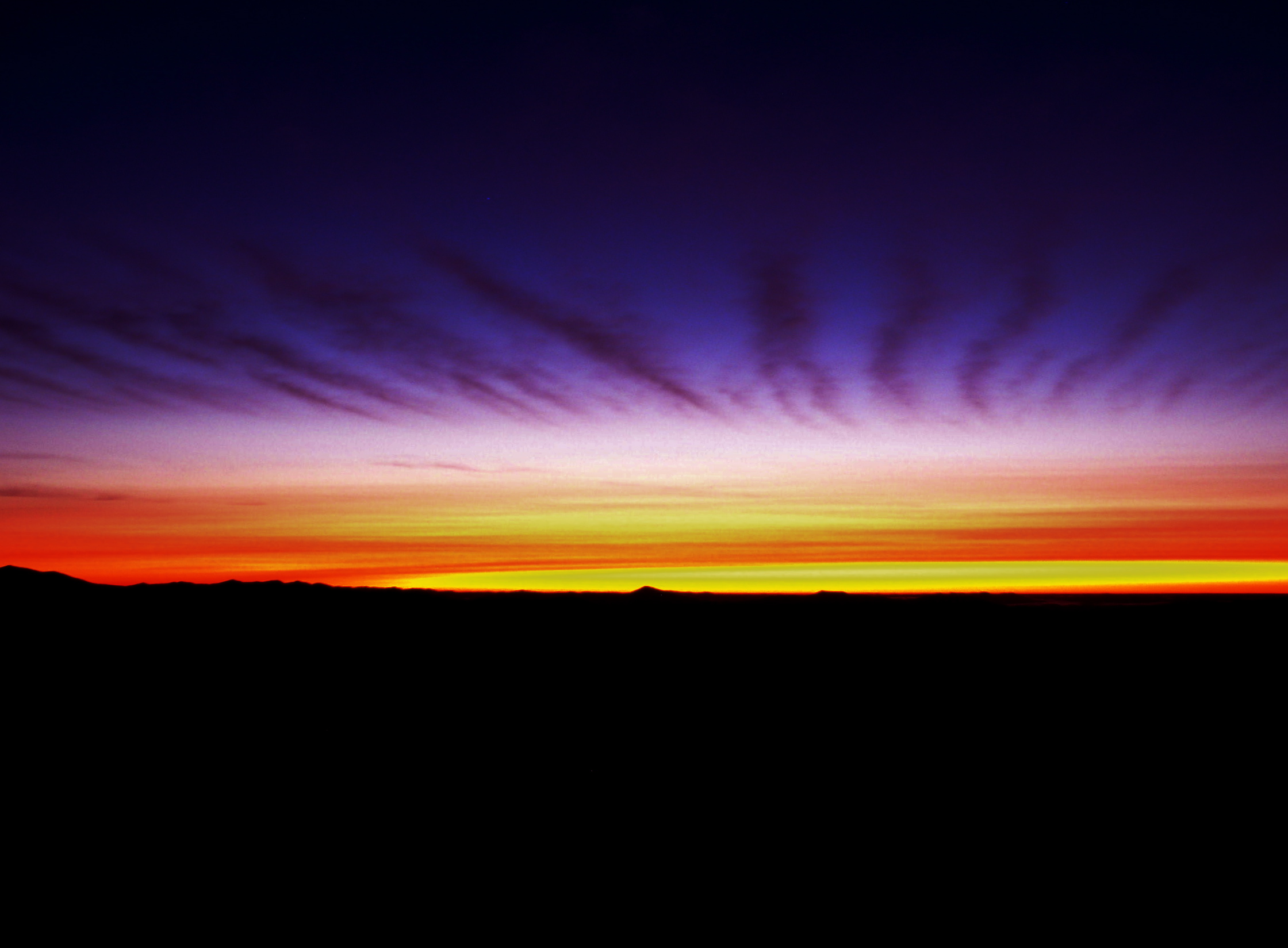
Sunset over the Kancamagus Highway

White Mountains 7

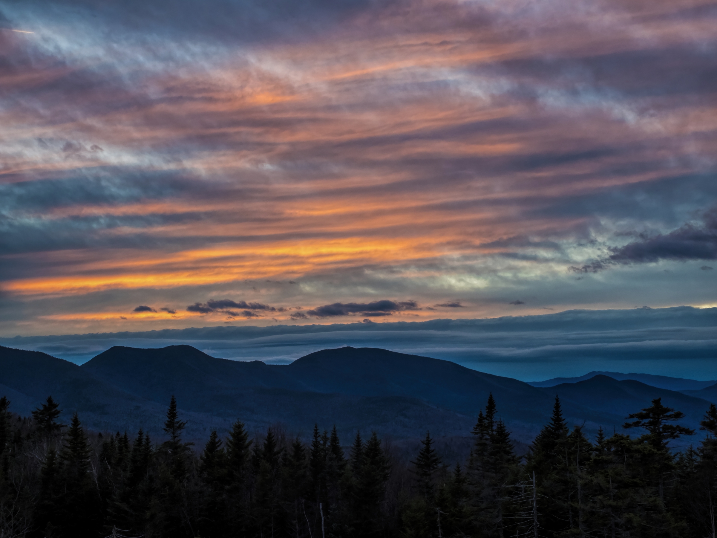
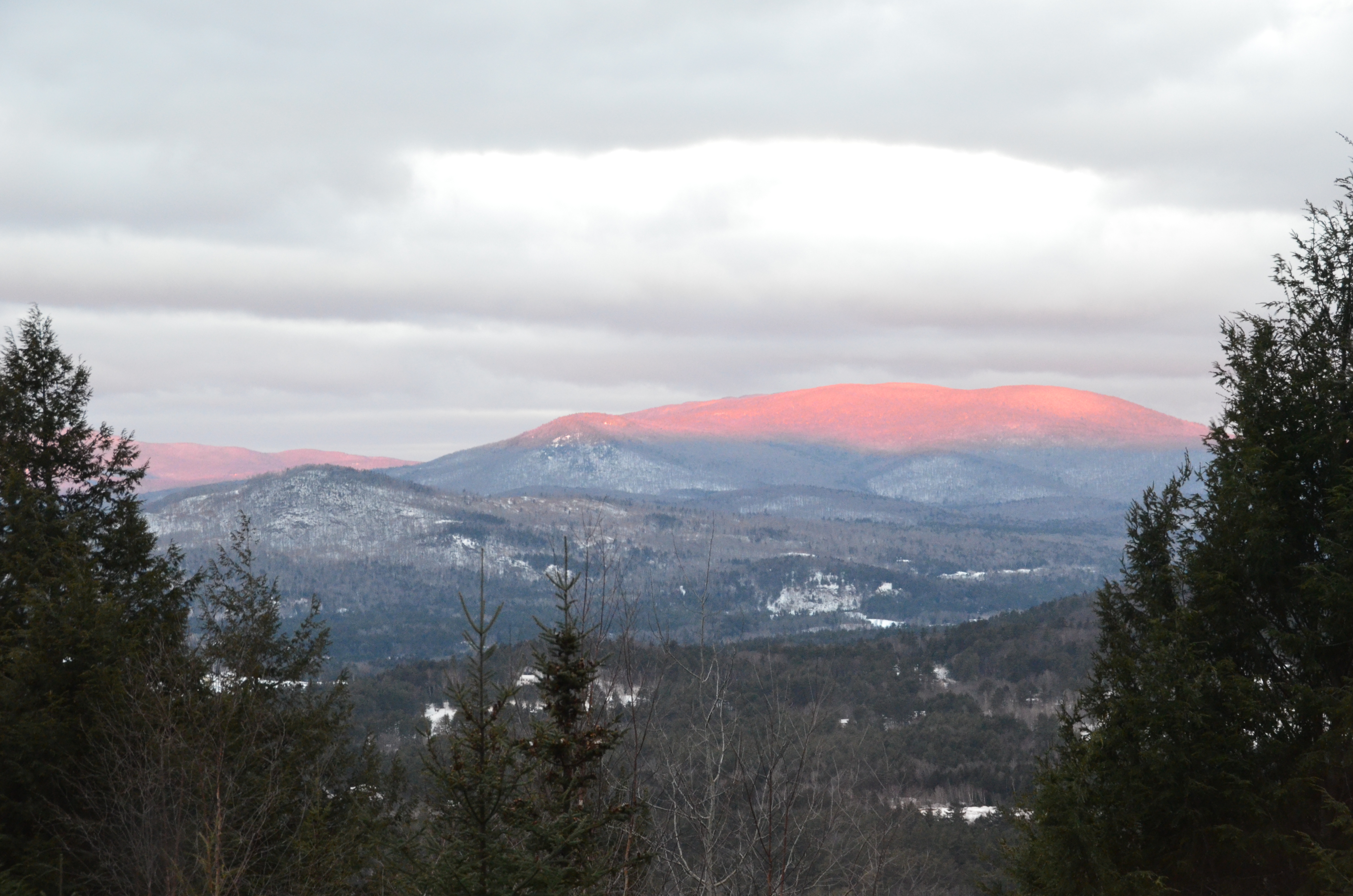
Sunset on Mt Liberty
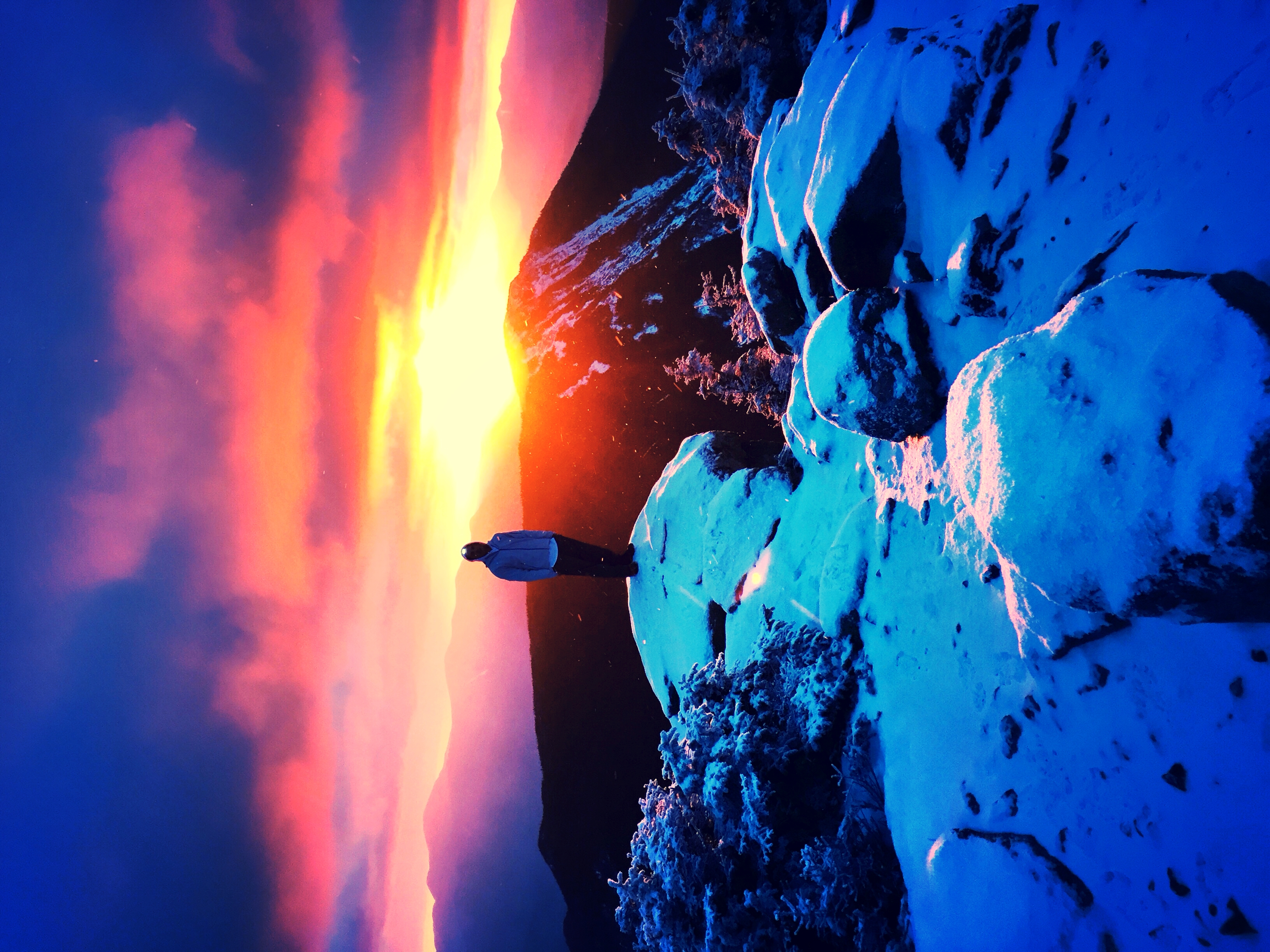
Sunrise from Liberty
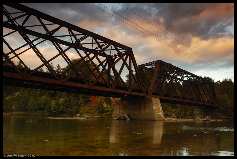
Rail Bridge in Pemigewasset River
Mt. Kearsarge
Pemigewasset Winter, New Hampshire

Cloudy Evening at Pemigewasset Overlook. White Mountain National Forest
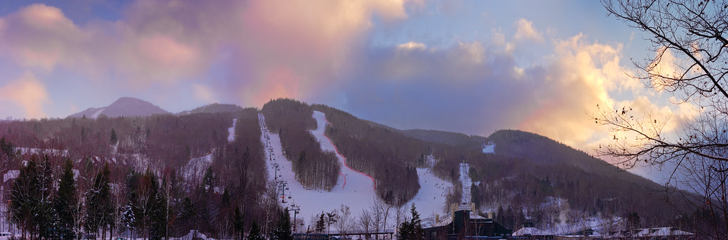
Loon Mountain at Sunset Panorama
Sunrise on Osceola
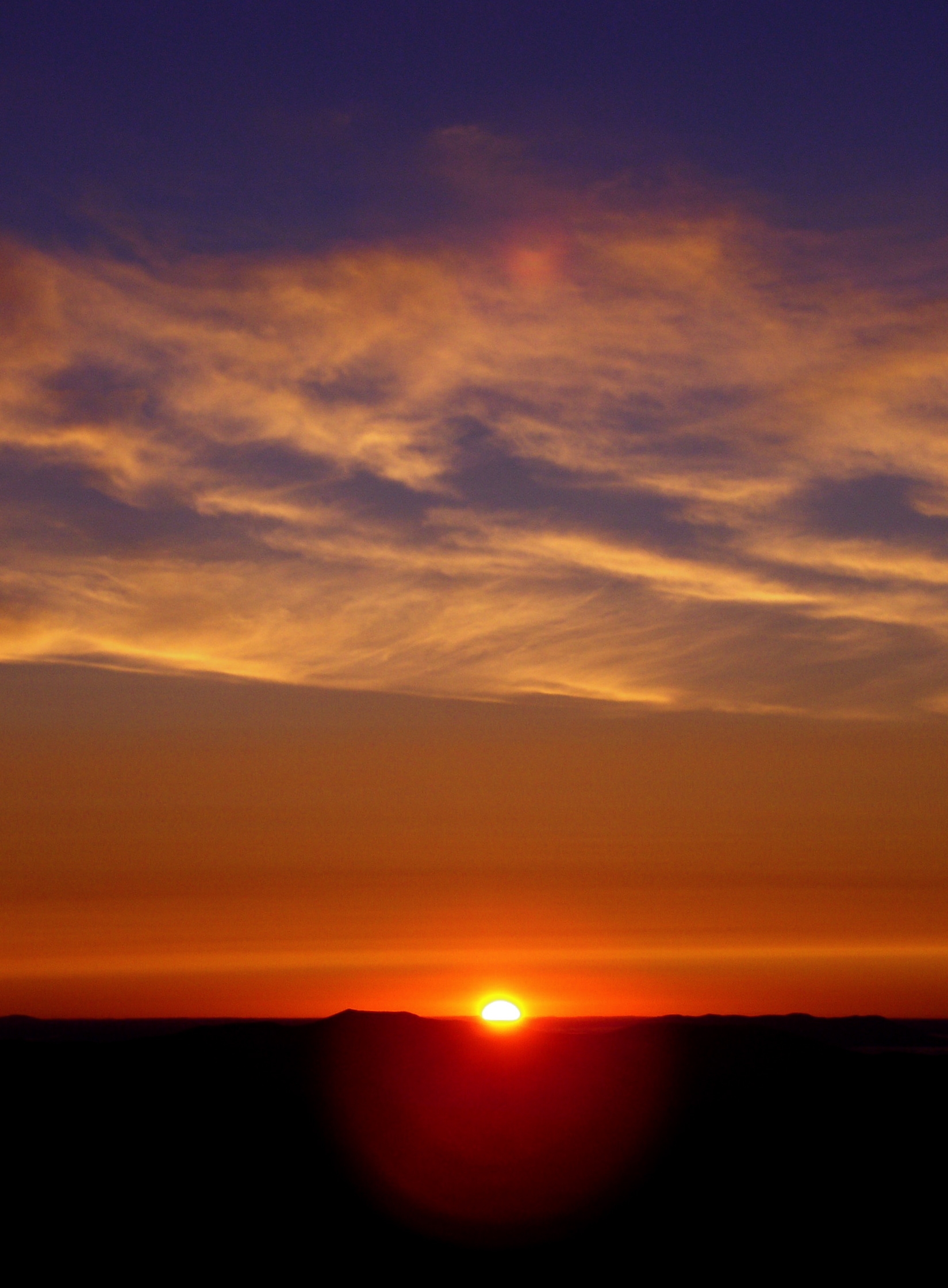
Sunrise on Osceola
Osceola Sunrise Panorama
Sunrise on Osceola
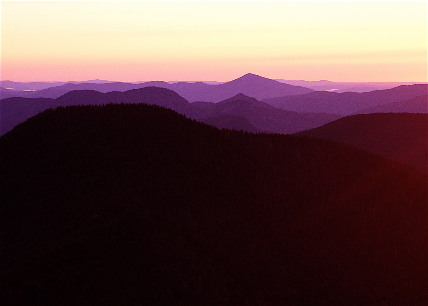
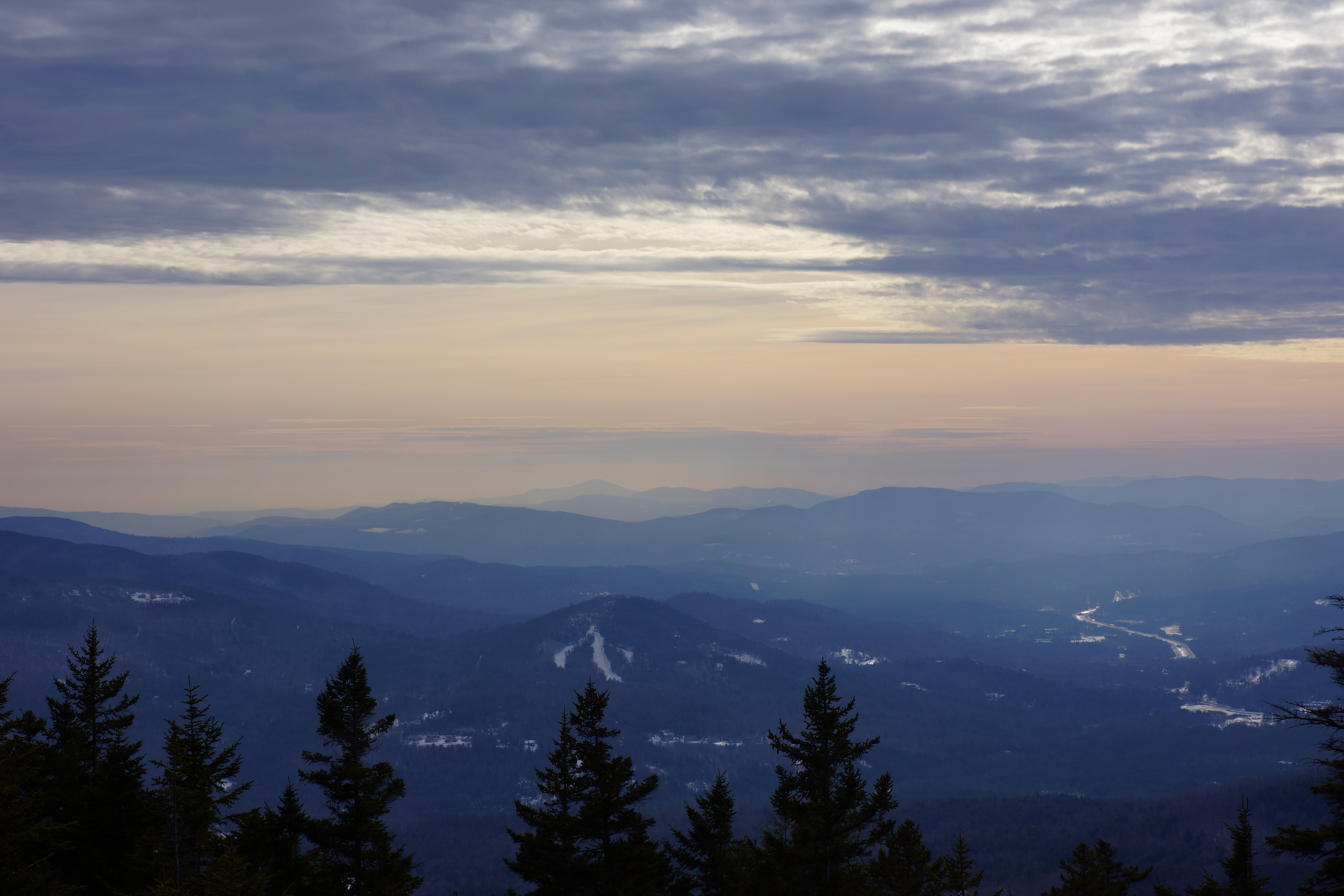
Hazy mountain vista

Sunrise Casey

Sunrise Will
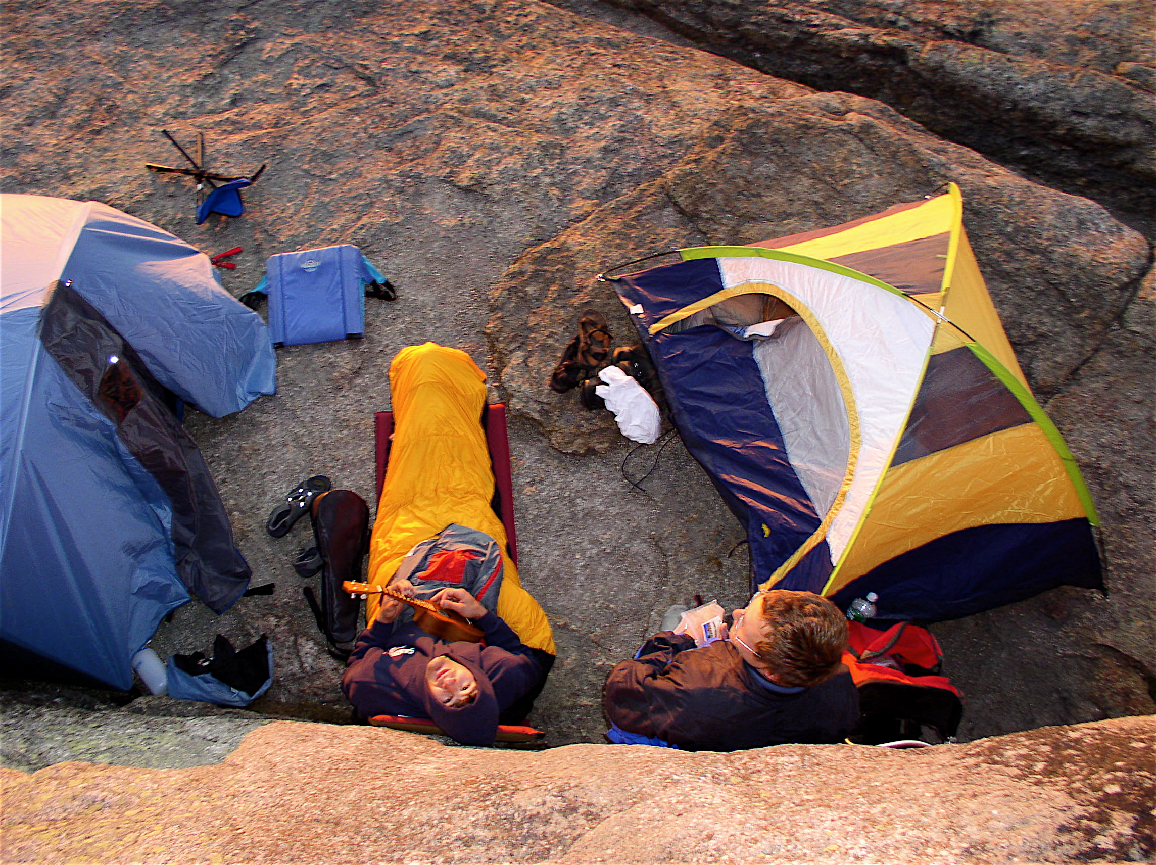
Camp, from above

Sunrise ukelele serenade
Osceola Sunrise

Sunrise, Campton Bog

Sunrise from Liberty
1 27-29 2012 Shebbaton (22)

Sunrise from Liberty
74 Potato Hill Rd, North Woodstock, NH アメリカ合衆国の地図
別の場所を検索
近所の場所
アメリカ合衆国 ニュー・ハンプシャー州 ウッドストック
Daniel Webster Hwy, North Woodstock, NH アメリカ合衆国
26 Courtney Rd, North Woodstock, NH アメリカ合衆国
29 Courtney Rd, North Woodstock, NH アメリカ合衆国
23 Courtney Rd, North Woodstock, NH アメリカ合衆国
21 Kancamagus Hwy, North Woodstock, NH アメリカ合衆国
アメリカ合衆国 ニュー・ハンプシャー州 ウッドストック ノース・ウッドストック
Main St, North Woodstock, NH アメリカ合衆国
25 Main St, Lincoln, NH アメリカ合衆国White Mountain Bagel Co
66 Snow King Rd, North Woodstock, NH アメリカ合衆国
アメリカ合衆国 ニュー・ハンプシャー州 リンカン
Main St, Lincoln, NH アメリカ合衆国Lincoln Town Hall
Daniel Webster Hwy, Lincoln, NH アメリカ合衆国
アメリカ合衆国 〒 ニュー・ハンプシャー州 リンカン ルーン・マウンテン
33 Brookline Rd, Lincoln, NH アメリカ合衆国
アメリカ合衆国 〒 ニュー・ハンプシャー州 ライバーモア ルーン山
60 Loon Mountain Rd, Lincoln, NH アメリカ合衆国
Daniel Webster Hwy, Lincoln, NH アメリカ合衆国
60 Loon Mountain Rd, Lincoln, NH アメリカ合衆国ルーン・マウンテン・リゾート
90 Loon Mountain Rd, Lincoln, NH アメリカ合衆国
最近の検索
- アメリカ合衆国 アラスカ州 レッド・ドッグ・マイン日の出日の入り時間
- Am bhf, Borken, ドイツアム・バーンホーフ日の出日の入り時間
- 4th St E, Sonoma, CA, USA日の出日の入り時間
- Oakland Ave, Williamsport, PA アメリカ合衆国日の出日の入り時間
- Via Roma, Pieranica CR, イタリアローマ通り日の出日の入り時間
- クロアチア 〒 ドゥブロブニク GradClock Tower of Dubrovnik日の出日の入り時間
- アルゼンチン チュブ州 トレリュー日の出日の入り時間
- Hartfords Bluff Cir, Mt Pleasant, SC アメリカ合衆国日の出日の入り時間
- 日本、熊本県熊本市北区日の出日の入り時間
- 中華人民共和国 福州市 平潭県 平潭島日の出日の入り時間