Horas de salida y puesta de sol de 74 Potato Hill Rd, North Woodstock, NH, EE. UU.
Location: Estados Unidos > Nuevo Hampshire > Condado de Grafton > Woodstock > North Woodstock >
Zona horaria:
America/New_York
Hora local:
2025-06-17 06:03:49
Longitud:
-71.6866412
Latitud:
43.9821912
Salida de sol de hoy:
05:03:25 AM
Puesta de sol de hoy:
08:32:14 PM
La duración del día hoy:
15h 28m 49s
Salida de sol de mañana:
05:03:32 AM
Puesta de sol de mañana:
08:32:33 PM
La duración del día mañana:
15h 29m 1s
Mostrar todas las fechas
| Fecha | Salida de sol | Puesta de sol | Duración del día |
|---|---|---|---|
| 01/01/2025 | 07:21:19 AM | 04:20:22 PM | 8h 59m 3s |
| 02/01/2025 | 07:21:19 AM | 04:21:18 PM | 8h 59m 59s |
| 03/01/2025 | 07:21:15 AM | 04:22:16 PM | 9h 1m 1s |
| 04/01/2025 | 07:21:09 AM | 04:23:16 PM | 9h 2m 7s |
| 05/01/2025 | 07:21:01 AM | 04:24:17 PM | 9h 3m 16s |
| 06/01/2025 | 07:20:50 AM | 04:25:20 PM | 9h 4m 30s |
| 07/01/2025 | 07:20:37 AM | 04:26:24 PM | 9h 5m 47s |
| 08/01/2025 | 07:20:21 AM | 04:27:29 PM | 9h 7m 8s |
| 09/01/2025 | 07:20:03 AM | 04:28:36 PM | 9h 8m 33s |
| 10/01/2025 | 07:19:42 AM | 04:29:45 PM | 9h 10m 3s |
| 11/01/2025 | 07:19:18 AM | 04:30:54 PM | 9h 11m 36s |
| 12/01/2025 | 07:18:53 AM | 04:32:05 PM | 9h 13m 12s |
| 13/01/2025 | 07:18:25 AM | 04:33:17 PM | 9h 14m 52s |
| 14/01/2025 | 07:17:54 AM | 04:34:30 PM | 9h 16m 36s |
| 15/01/2025 | 07:17:21 AM | 04:35:44 PM | 9h 18m 23s |
| 16/01/2025 | 07:16:46 AM | 04:36:59 PM | 9h 20m 13s |
| 17/01/2025 | 07:16:08 AM | 04:38:15 PM | 9h 22m 7s |
| 18/01/2025 | 07:15:29 AM | 04:39:31 PM | 9h 24m 2s |
| 19/01/2025 | 07:14:47 AM | 04:40:49 PM | 9h 26m 2s |
| 20/01/2025 | 07:14:02 AM | 04:42:07 PM | 9h 28m 5s |
| 21/01/2025 | 07:13:16 AM | 04:43:26 PM | 9h 30m 10s |
| 22/01/2025 | 07:12:27 AM | 04:44:45 PM | 9h 32m 18s |
| 23/01/2025 | 07:11:36 AM | 04:46:05 PM | 9h 34m 29s |
| 24/01/2025 | 07:10:44 AM | 04:47:26 PM | 9h 36m 42s |
| 25/01/2025 | 07:09:49 AM | 04:48:47 PM | 9h 38m 58s |
| 26/01/2025 | 07:08:52 AM | 04:50:08 PM | 9h 41m 16s |
| 27/01/2025 | 07:07:53 AM | 04:51:29 PM | 9h 43m 36s |
| 28/01/2025 | 07:06:52 AM | 04:52:51 PM | 9h 45m 59s |
| 29/01/2025 | 07:05:50 AM | 04:54:14 PM | 9h 48m 24s |
| 30/01/2025 | 07:04:45 AM | 04:55:36 PM | 9h 50m 51s |
| 31/01/2025 | 07:03:39 AM | 04:56:59 PM | 9h 53m 20s |
| 01/02/2025 | 07:02:31 AM | 04:58:22 PM | 9h 55m 51s |
| 02/02/2025 | 07:01:21 AM | 04:59:44 PM | 9h 58m 23s |
| 03/02/2025 | 07:00:09 AM | 05:01:07 PM | 10h 0m 58s |
| 04/02/2025 | 06:58:56 AM | 05:02:30 PM | 10h 3m 34s |
| 05/02/2025 | 06:57:41 AM | 05:03:53 PM | 10h 6m 12s |
| 06/02/2025 | 06:56:25 AM | 05:05:16 PM | 10h 8m 51s |
| 07/02/2025 | 06:55:07 AM | 05:06:39 PM | 10h 11m 32s |
| 08/02/2025 | 06:53:48 AM | 05:08:02 PM | 10h 14m 14s |
| 09/02/2025 | 06:52:27 AM | 05:09:25 PM | 10h 16m 58s |
| 10/02/2025 | 06:51:04 AM | 05:10:48 PM | 10h 19m 44s |
| 11/02/2025 | 06:49:41 AM | 05:12:10 PM | 10h 22m 29s |
| 12/02/2025 | 06:48:16 AM | 05:13:33 PM | 10h 25m 17s |
| 13/02/2025 | 06:46:49 AM | 05:14:55 PM | 10h 28m 6s |
| 14/02/2025 | 06:45:22 AM | 05:16:17 PM | 10h 30m 55s |
| 15/02/2025 | 06:43:53 AM | 05:17:38 PM | 10h 33m 45s |
| 16/02/2025 | 06:42:23 AM | 05:19:00 PM | 10h 36m 37s |
| 17/02/2025 | 06:40:52 AM | 05:20:21 PM | 10h 39m 29s |
| 18/02/2025 | 06:39:20 AM | 05:21:42 PM | 10h 42m 22s |
| 19/02/2025 | 06:37:46 AM | 05:23:03 PM | 10h 45m 17s |
| 20/02/2025 | 06:36:12 AM | 05:24:24 PM | 10h 48m 12s |
| 21/02/2025 | 06:34:37 AM | 05:25:44 PM | 10h 51m 7s |
| 22/02/2025 | 06:33:00 AM | 05:27:04 PM | 10h 54m 4s |
| 23/02/2025 | 06:31:23 AM | 05:28:24 PM | 10h 57m 1s |
| 24/02/2025 | 06:29:45 AM | 05:29:43 PM | 10h 59m 58s |
| 25/02/2025 | 06:28:06 AM | 05:31:02 PM | 11h 2m 56s |
| 26/02/2025 | 06:26:26 AM | 05:32:21 PM | 11h 5m 55s |
| 27/02/2025 | 06:24:45 AM | 05:33:40 PM | 11h 8m 55s |
| 28/02/2025 | 06:23:04 AM | 05:34:58 PM | 11h 11m 54s |
| 01/03/2025 | 06:21:22 AM | 05:36:16 PM | 11h 14m 54s |
| 02/03/2025 | 06:19:39 AM | 05:37:34 PM | 11h 17m 55s |
| 03/03/2025 | 06:17:56 AM | 05:38:51 PM | 11h 20m 55s |
| 04/03/2025 | 06:16:12 AM | 05:40:08 PM | 11h 23m 56s |
| 05/03/2025 | 06:14:27 AM | 05:41:25 PM | 11h 26m 58s |
| 06/03/2025 | 06:12:42 AM | 05:42:42 PM | 11h 30m 0s |
| 07/03/2025 | 06:10:57 AM | 05:43:58 PM | 11h 33m 1s |
| 08/03/2025 | 06:09:11 AM | 05:45:14 PM | 11h 36m 3s |
| 09/03/2025 | 07:07:28 AM | 06:46:27 PM | 11h 38m 59s |
| 10/03/2025 | 07:05:41 AM | 06:47:42 PM | 11h 42m 1s |
| 11/03/2025 | 07:03:54 AM | 06:48:58 PM | 11h 45m 4s |
| 12/03/2025 | 07:02:06 AM | 06:50:13 PM | 11h 48m 7s |
| 13/03/2025 | 07:00:19 AM | 06:51:28 PM | 11h 51m 9s |
| 14/03/2025 | 06:58:30 AM | 06:52:43 PM | 11h 54m 13s |
| 15/03/2025 | 06:56:42 AM | 06:53:57 PM | 11h 57m 15s |
| 16/03/2025 | 06:54:53 AM | 06:55:12 PM | 12h 0m 19s |
| 17/03/2025 | 06:53:04 AM | 06:56:26 PM | 12h 3m 22s |
| 18/03/2025 | 06:51:15 AM | 06:57:40 PM | 12h 6m 25s |
| 19/03/2025 | 06:49:26 AM | 06:58:54 PM | 12h 9m 28s |
| 20/03/2025 | 06:47:36 AM | 07:00:08 PM | 12h 12m 32s |
| 21/03/2025 | 06:45:47 AM | 07:01:21 PM | 12h 15m 34s |
| 22/03/2025 | 06:43:58 AM | 07:02:35 PM | 12h 18m 37s |
| 23/03/2025 | 06:42:08 AM | 07:03:48 PM | 12h 21m 40s |
| 24/03/2025 | 06:40:19 AM | 07:05:01 PM | 12h 24m 42s |
| 25/03/2025 | 06:38:29 AM | 07:06:14 PM | 12h 27m 45s |
| 26/03/2025 | 06:36:40 AM | 07:07:27 PM | 12h 30m 47s |
| 27/03/2025 | 06:34:51 AM | 07:08:40 PM | 12h 33m 49s |
| 28/03/2025 | 06:33:02 AM | 07:09:53 PM | 12h 36m 51s |
| 29/03/2025 | 06:31:13 AM | 07:11:06 PM | 12h 39m 53s |
| 30/03/2025 | 06:29:25 AM | 07:12:19 PM | 12h 42m 54s |
| 31/03/2025 | 06:27:36 AM | 07:13:31 PM | 12h 45m 55s |
| 01/04/2025 | 06:25:48 AM | 07:14:44 PM | 12h 48m 56s |
| 02/04/2025 | 06:24:00 AM | 07:15:57 PM | 12h 51m 57s |
| 03/04/2025 | 06:22:13 AM | 07:17:09 PM | 12h 54m 56s |
| 04/04/2025 | 06:20:26 AM | 07:18:22 PM | 12h 57m 56s |
| 05/04/2025 | 06:18:39 AM | 07:19:34 PM | 13h 0m 55s |
| 06/04/2025 | 06:16:53 AM | 07:20:47 PM | 13h 3m 54s |
| 07/04/2025 | 06:15:07 AM | 07:22:00 PM | 13h 6m 53s |
| 08/04/2025 | 06:13:22 AM | 07:23:12 PM | 13h 9m 50s |
| 09/04/2025 | 06:11:37 AM | 07:24:25 PM | 13h 12m 48s |
| 10/04/2025 | 06:09:53 AM | 07:25:37 PM | 13h 15m 44s |
| 11/04/2025 | 06:08:09 AM | 07:26:50 PM | 13h 18m 41s |
| 12/04/2025 | 06:06:26 AM | 07:28:02 PM | 13h 21m 36s |
| 13/04/2025 | 06:04:44 AM | 07:29:15 PM | 13h 24m 31s |
| 14/04/2025 | 06:03:02 AM | 07:30:27 PM | 13h 27m 25s |
| 15/04/2025 | 06:01:21 AM | 07:31:40 PM | 13h 30m 19s |
| 16/04/2025 | 05:59:41 AM | 07:32:52 PM | 13h 33m 11s |
| 17/04/2025 | 05:58:02 AM | 07:34:05 PM | 13h 36m 3s |
| 18/04/2025 | 05:56:23 AM | 07:35:17 PM | 13h 38m 54s |
| 19/04/2025 | 05:54:45 AM | 07:36:30 PM | 13h 41m 45s |
| 20/04/2025 | 05:53:09 AM | 07:37:42 PM | 13h 44m 33s |
| 21/04/2025 | 05:51:33 AM | 07:38:55 PM | 13h 47m 22s |
| 22/04/2025 | 05:49:58 AM | 07:40:07 PM | 13h 50m 9s |
| 23/04/2025 | 05:48:24 AM | 07:41:20 PM | 13h 52m 56s |
| 24/04/2025 | 05:46:51 AM | 07:42:32 PM | 13h 55m 41s |
| 25/04/2025 | 05:45:19 AM | 07:43:44 PM | 13h 58m 25s |
| 26/04/2025 | 05:43:48 AM | 07:44:56 PM | 14h 1m 8s |
| 27/04/2025 | 05:42:18 AM | 07:46:08 PM | 14h 3m 50s |
| 28/04/2025 | 05:40:50 AM | 07:47:20 PM | 14h 6m 30s |
| 29/04/2025 | 05:39:23 AM | 07:48:31 PM | 14h 9m 8s |
| 30/04/2025 | 05:37:57 AM | 07:49:43 PM | 14h 11m 46s |
| 01/05/2025 | 05:36:32 AM | 07:50:54 PM | 14h 14m 22s |
| 02/05/2025 | 05:35:08 AM | 07:52:05 PM | 14h 16m 57s |
| 03/05/2025 | 05:33:46 AM | 07:53:16 PM | 14h 19m 30s |
| 04/05/2025 | 05:32:25 AM | 07:54:27 PM | 14h 22m 2s |
| 05/05/2025 | 05:31:06 AM | 07:55:37 PM | 14h 24m 31s |
| 06/05/2025 | 05:29:48 AM | 07:56:47 PM | 14h 26m 59s |
| 07/05/2025 | 05:28:31 AM | 07:57:57 PM | 14h 29m 26s |
| 08/05/2025 | 05:27:16 AM | 07:59:06 PM | 14h 31m 50s |
| 09/05/2025 | 05:26:03 AM | 08:00:15 PM | 14h 34m 12s |
| 10/05/2025 | 05:24:51 AM | 08:01:23 PM | 14h 36m 32s |
| 11/05/2025 | 05:23:41 AM | 08:02:31 PM | 14h 38m 50s |
| 12/05/2025 | 05:22:32 AM | 08:03:39 PM | 14h 41m 7s |
| 13/05/2025 | 05:21:26 AM | 08:04:46 PM | 14h 43m 20s |
| 14/05/2025 | 05:20:20 AM | 08:05:52 PM | 14h 45m 32s |
| 15/05/2025 | 05:19:17 AM | 08:06:58 PM | 14h 47m 41s |
| 16/05/2025 | 05:18:15 AM | 08:08:03 PM | 14h 49m 48s |
| 17/05/2025 | 05:17:16 AM | 08:09:07 PM | 14h 51m 51s |
| 18/05/2025 | 05:16:18 AM | 08:10:11 PM | 14h 53m 53s |
| 19/05/2025 | 05:15:22 AM | 08:11:14 PM | 14h 55m 52s |
| 20/05/2025 | 05:14:27 AM | 08:12:16 PM | 14h 57m 49s |
| 21/05/2025 | 05:13:35 AM | 08:13:17 PM | 14h 59m 42s |
| 22/05/2025 | 05:12:45 AM | 08:14:17 PM | 15h 1m 32s |
| 23/05/2025 | 05:11:57 AM | 08:15:16 PM | 15h 3m 19s |
| 24/05/2025 | 05:11:10 AM | 08:16:15 PM | 15h 5m 5s |
| 25/05/2025 | 05:10:26 AM | 08:17:12 PM | 15h 6m 46s |
| 26/05/2025 | 05:09:44 AM | 08:18:08 PM | 15h 8m 24s |
| 27/05/2025 | 05:09:04 AM | 08:19:03 PM | 15h 9m 59s |
| 28/05/2025 | 05:08:26 AM | 08:19:56 PM | 15h 11m 30s |
| 29/05/2025 | 05:07:50 AM | 08:20:49 PM | 15h 12m 59s |
| 30/05/2025 | 05:07:16 AM | 08:21:40 PM | 15h 14m 24s |
| 31/05/2025 | 05:06:45 AM | 08:22:30 PM | 15h 15m 45s |
| 01/06/2025 | 05:06:15 AM | 08:23:18 PM | 15h 17m 3s |
| 02/06/2025 | 05:05:48 AM | 08:24:05 PM | 15h 18m 17s |
| 03/06/2025 | 05:05:23 AM | 08:24:50 PM | 15h 19m 27s |
| 04/06/2025 | 05:05:01 AM | 08:25:34 PM | 15h 20m 33s |
| 05/06/2025 | 05:04:40 AM | 08:26:16 PM | 15h 21m 36s |
| 06/06/2025 | 05:04:22 AM | 08:26:57 PM | 15h 22m 35s |
| 07/06/2025 | 05:04:06 AM | 08:27:36 PM | 15h 23m 30s |
| 08/06/2025 | 05:03:52 AM | 08:28:13 PM | 15h 24m 21s |
| 09/06/2025 | 05:03:41 AM | 08:28:49 PM | 15h 25m 8s |
| 10/06/2025 | 05:03:31 AM | 08:29:22 PM | 15h 25m 51s |
| 11/06/2025 | 05:03:24 AM | 08:29:54 PM | 15h 26m 30s |
| 12/06/2025 | 05:03:19 AM | 08:30:24 PM | 15h 27m 5s |
| 13/06/2025 | 05:03:17 AM | 08:30:52 PM | 15h 27m 35s |
| 14/06/2025 | 05:03:16 AM | 08:31:18 PM | 15h 28m 2s |
| 15/06/2025 | 05:03:18 AM | 08:31:42 PM | 15h 28m 24s |
| 16/06/2025 | 05:03:22 AM | 08:32:04 PM | 15h 28m 42s |
| 17/06/2025 | 05:03:28 AM | 08:32:24 PM | 15h 28m 56s |
| 18/06/2025 | 05:03:37 AM | 08:32:42 PM | 15h 29m 5s |
| 19/06/2025 | 05:03:47 AM | 08:32:57 PM | 15h 29m 10s |
| 20/06/2025 | 05:04:00 AM | 08:33:11 PM | 15h 29m 11s |
| 21/06/2025 | 05:04:14 AM | 08:33:22 PM | 15h 29m 8s |
| 22/06/2025 | 05:04:31 AM | 08:33:32 PM | 15h 29m 1s |
| 23/06/2025 | 05:04:50 AM | 08:33:39 PM | 15h 28m 49s |
| 24/06/2025 | 05:05:11 AM | 08:33:43 PM | 15h 28m 32s |
| 25/06/2025 | 05:05:33 AM | 08:33:46 PM | 15h 28m 13s |
| 26/06/2025 | 05:05:58 AM | 08:33:46 PM | 15h 27m 48s |
| 27/06/2025 | 05:06:25 AM | 08:33:44 PM | 15h 27m 19s |
| 28/06/2025 | 05:06:53 AM | 08:33:40 PM | 15h 26m 47s |
| 29/06/2025 | 05:07:23 AM | 08:33:33 PM | 15h 26m 10s |
| 30/06/2025 | 05:07:55 AM | 08:33:25 PM | 15h 25m 30s |
| 01/07/2025 | 05:08:29 AM | 08:33:14 PM | 15h 24m 45s |
| 02/07/2025 | 05:09:05 AM | 08:33:00 PM | 15h 23m 55s |
| 03/07/2025 | 05:09:42 AM | 08:32:44 PM | 15h 23m 2s |
| 04/07/2025 | 05:10:21 AM | 08:32:27 PM | 15h 22m 6s |
| 05/07/2025 | 05:11:01 AM | 08:32:06 PM | 15h 21m 5s |
| 06/07/2025 | 05:11:43 AM | 08:31:44 PM | 15h 20m 1s |
| 07/07/2025 | 05:12:27 AM | 08:31:19 PM | 15h 18m 52s |
| 08/07/2025 | 05:13:11 AM | 08:30:52 PM | 15h 17m 41s |
| 09/07/2025 | 05:13:58 AM | 08:30:23 PM | 15h 16m 25s |
| 10/07/2025 | 05:14:45 AM | 08:29:51 PM | 15h 15m 6s |
| 11/07/2025 | 05:15:34 AM | 08:29:18 PM | 15h 13m 44s |
| 12/07/2025 | 05:16:24 AM | 08:28:42 PM | 15h 12m 18s |
| 13/07/2025 | 05:17:16 AM | 08:28:04 PM | 15h 10m 48s |
| 14/07/2025 | 05:18:08 AM | 08:27:24 PM | 15h 9m 16s |
| 15/07/2025 | 05:19:02 AM | 08:26:42 PM | 15h 7m 40s |
| 16/07/2025 | 05:19:56 AM | 08:25:57 PM | 15h 6m 1s |
| 17/07/2025 | 05:20:52 AM | 08:25:11 PM | 15h 4m 19s |
| 18/07/2025 | 05:21:49 AM | 08:24:22 PM | 15h 2m 33s |
| 19/07/2025 | 05:22:46 AM | 08:23:32 PM | 15h 0m 46s |
| 20/07/2025 | 05:23:44 AM | 08:22:39 PM | 14h 58m 55s |
| 21/07/2025 | 05:24:44 AM | 08:21:45 PM | 14h 57m 1s |
| 22/07/2025 | 05:25:44 AM | 08:20:49 PM | 14h 55m 5s |
| 23/07/2025 | 05:26:44 AM | 08:19:50 PM | 14h 53m 6s |
| 24/07/2025 | 05:27:46 AM | 08:18:50 PM | 14h 51m 4s |
| 25/07/2025 | 05:28:48 AM | 08:17:48 PM | 14h 49m 0s |
| 26/07/2025 | 05:29:51 AM | 08:16:44 PM | 14h 46m 53s |
| 27/07/2025 | 05:30:54 AM | 08:15:39 PM | 14h 44m 45s |
| 28/07/2025 | 05:31:58 AM | 08:14:31 PM | 14h 42m 33s |
| 29/07/2025 | 05:33:02 AM | 08:13:22 PM | 14h 40m 20s |
| 30/07/2025 | 05:34:07 AM | 08:12:12 PM | 14h 38m 5s |
| 31/07/2025 | 05:35:12 AM | 08:10:59 PM | 14h 35m 47s |
| 01/08/2025 | 05:36:17 AM | 08:09:45 PM | 14h 33m 28s |
| 02/08/2025 | 05:37:23 AM | 08:08:30 PM | 14h 31m 7s |
| 03/08/2025 | 05:38:29 AM | 08:07:13 PM | 14h 28m 44s |
| 04/08/2025 | 05:39:36 AM | 08:05:54 PM | 14h 26m 18s |
| 05/08/2025 | 05:40:43 AM | 08:04:34 PM | 14h 23m 51s |
| 06/08/2025 | 05:41:50 AM | 08:03:13 PM | 14h 21m 23s |
| 07/08/2025 | 05:42:57 AM | 08:01:50 PM | 14h 18m 53s |
| 08/08/2025 | 05:44:05 AM | 08:00:26 PM | 14h 16m 21s |
| 09/08/2025 | 05:45:12 AM | 07:59:00 PM | 14h 13m 48s |
| 10/08/2025 | 05:46:20 AM | 07:57:33 PM | 14h 11m 13s |
| 11/08/2025 | 05:47:28 AM | 07:56:05 PM | 14h 8m 37s |
| 12/08/2025 | 05:48:36 AM | 07:54:36 PM | 14h 6m 0s |
| 13/08/2025 | 05:49:44 AM | 07:53:05 PM | 14h 3m 21s |
| 14/08/2025 | 05:50:52 AM | 07:51:34 PM | 14h 0m 42s |
| 15/08/2025 | 05:52:01 AM | 07:50:01 PM | 13h 58m 0s |
| 16/08/2025 | 05:53:09 AM | 07:48:27 PM | 13h 55m 18s |
| 17/08/2025 | 05:54:17 AM | 07:46:52 PM | 13h 52m 35s |
| 18/08/2025 | 05:55:26 AM | 07:45:16 PM | 13h 49m 50s |
| 19/08/2025 | 05:56:34 AM | 07:43:39 PM | 13h 47m 5s |
| 20/08/2025 | 05:57:42 AM | 07:42:01 PM | 13h 44m 19s |
| 21/08/2025 | 05:58:51 AM | 07:40:23 PM | 13h 41m 32s |
| 22/08/2025 | 05:59:59 AM | 07:38:43 PM | 13h 38m 44s |
| 23/08/2025 | 06:01:07 AM | 07:37:02 PM | 13h 35m 55s |
| 24/08/2025 | 06:02:16 AM | 07:35:21 PM | 13h 33m 5s |
| 25/08/2025 | 06:03:24 AM | 07:33:39 PM | 13h 30m 15s |
| 26/08/2025 | 06:04:32 AM | 07:31:56 PM | 13h 27m 24s |
| 27/08/2025 | 06:05:40 AM | 07:30:13 PM | 13h 24m 33s |
| 28/08/2025 | 06:06:49 AM | 07:28:28 PM | 13h 21m 39s |
| 29/08/2025 | 06:07:57 AM | 07:26:44 PM | 13h 18m 47s |
| 30/08/2025 | 06:09:05 AM | 07:24:58 PM | 13h 15m 53s |
| 31/08/2025 | 06:10:13 AM | 07:23:12 PM | 13h 12m 59s |
| 01/09/2025 | 06:11:21 AM | 07:21:25 PM | 13h 10m 4s |
| 02/09/2025 | 06:12:29 AM | 07:19:38 PM | 13h 7m 9s |
| 03/09/2025 | 06:13:37 AM | 07:17:51 PM | 13h 4m 14s |
| 04/09/2025 | 06:14:45 AM | 07:16:02 PM | 13h 1m 17s |
| 05/09/2025 | 06:15:53 AM | 07:14:14 PM | 12h 58m 21s |
| 06/09/2025 | 06:17:01 AM | 07:12:25 PM | 12h 55m 24s |
| 07/09/2025 | 06:18:09 AM | 07:10:36 PM | 12h 52m 27s |
| 08/09/2025 | 06:19:17 AM | 07:08:46 PM | 12h 49m 29s |
| 09/09/2025 | 06:20:25 AM | 07:06:56 PM | 12h 46m 31s |
| 10/09/2025 | 06:21:33 AM | 07:05:06 PM | 12h 43m 33s |
| 11/09/2025 | 06:22:41 AM | 07:03:15 PM | 12h 40m 34s |
| 12/09/2025 | 06:23:49 AM | 07:01:25 PM | 12h 37m 36s |
| 13/09/2025 | 06:24:57 AM | 06:59:34 PM | 12h 34m 37s |
| 14/09/2025 | 06:26:06 AM | 06:57:43 PM | 12h 31m 37s |
| 15/09/2025 | 06:27:14 AM | 06:55:52 PM | 12h 28m 38s |
| 16/09/2025 | 06:28:22 AM | 06:54:00 PM | 12h 25m 38s |
| 17/09/2025 | 06:29:31 AM | 06:52:09 PM | 12h 22m 38s |
| 18/09/2025 | 06:30:39 AM | 06:50:18 PM | 12h 19m 39s |
| 19/09/2025 | 06:31:48 AM | 06:48:26 PM | 12h 16m 38s |
| 20/09/2025 | 06:32:57 AM | 06:46:35 PM | 12h 13m 38s |
| 21/09/2025 | 06:34:06 AM | 06:44:44 PM | 12h 10m 38s |
| 22/09/2025 | 06:35:15 AM | 06:42:52 PM | 12h 7m 37s |
| 23/09/2025 | 06:36:24 AM | 06:41:01 PM | 12h 4m 37s |
| 24/09/2025 | 06:37:33 AM | 06:39:10 PM | 12h 1m 37s |
| 25/09/2025 | 06:38:43 AM | 06:37:19 PM | 11h 58m 36s |
| 26/09/2025 | 06:39:53 AM | 06:35:29 PM | 11h 55m 36s |
| 27/09/2025 | 06:41:02 AM | 06:33:39 PM | 11h 52m 37s |
| 28/09/2025 | 06:42:13 AM | 06:31:48 PM | 11h 49m 35s |
| 29/09/2025 | 06:43:23 AM | 06:29:59 PM | 11h 46m 36s |
| 30/09/2025 | 06:44:33 AM | 06:28:09 PM | 11h 43m 36s |
| 01/10/2025 | 06:45:44 AM | 06:26:20 PM | 11h 40m 36s |
| 02/10/2025 | 06:46:55 AM | 06:24:31 PM | 11h 37m 36s |
| 03/10/2025 | 06:48:07 AM | 06:22:43 PM | 11h 34m 36s |
| 04/10/2025 | 06:49:18 AM | 06:20:55 PM | 11h 31m 37s |
| 05/10/2025 | 06:50:30 AM | 06:19:08 PM | 11h 28m 38s |
| 06/10/2025 | 06:51:42 AM | 06:17:21 PM | 11h 25m 39s |
| 07/10/2025 | 06:52:54 AM | 06:15:35 PM | 11h 22m 41s |
| 08/10/2025 | 06:54:07 AM | 06:13:49 PM | 11h 19m 42s |
| 09/10/2025 | 06:55:20 AM | 06:12:04 PM | 11h 16m 44s |
| 10/10/2025 | 06:56:33 AM | 06:10:20 PM | 11h 13m 47s |
| 11/10/2025 | 06:57:47 AM | 06:08:36 PM | 11h 10m 49s |
| 12/10/2025 | 06:59:01 AM | 06:06:53 PM | 11h 7m 52s |
| 13/10/2025 | 07:00:15 AM | 06:05:11 PM | 11h 4m 56s |
| 14/10/2025 | 07:01:29 AM | 06:03:29 PM | 11h 2m 0s |
| 15/10/2025 | 07:02:44 AM | 06:01:48 PM | 10h 59m 4s |
| 16/10/2025 | 07:03:59 AM | 06:00:09 PM | 10h 56m 10s |
| 17/10/2025 | 07:05:14 AM | 05:58:30 PM | 10h 53m 16s |
| 18/10/2025 | 07:06:30 AM | 05:56:52 PM | 10h 50m 22s |
| 19/10/2025 | 07:07:46 AM | 05:55:15 PM | 10h 47m 29s |
| 20/10/2025 | 07:09:02 AM | 05:53:39 PM | 10h 44m 37s |
| 21/10/2025 | 07:10:19 AM | 05:52:04 PM | 10h 41m 45s |
| 22/10/2025 | 07:11:36 AM | 05:50:30 PM | 10h 38m 54s |
| 23/10/2025 | 07:12:53 AM | 05:48:57 PM | 10h 36m 4s |
| 24/10/2025 | 07:14:11 AM | 05:47:25 PM | 10h 33m 14s |
| 25/10/2025 | 07:15:28 AM | 05:45:55 PM | 10h 30m 27s |
| 26/10/2025 | 07:16:46 AM | 05:44:25 PM | 10h 27m 39s |
| 27/10/2025 | 07:18:05 AM | 05:42:57 PM | 10h 24m 52s |
| 28/10/2025 | 07:19:23 AM | 05:41:31 PM | 10h 22m 8s |
| 29/10/2025 | 07:20:42 AM | 05:40:05 PM | 10h 19m 23s |
| 30/10/2025 | 07:22:00 AM | 05:38:41 PM | 10h 16m 41s |
| 31/10/2025 | 07:23:19 AM | 05:37:19 PM | 10h 14m 0s |
| 01/11/2025 | 07:24:39 AM | 05:35:57 PM | 10h 11m 18s |
| 02/11/2025 | 06:26:01 AM | 04:34:34 PM | 10h 8m 33s |
| 03/11/2025 | 06:27:20 AM | 04:33:16 PM | 10h 5m 56s |
| 04/11/2025 | 06:28:40 AM | 04:32:00 PM | 10h 3m 20s |
| 05/11/2025 | 06:29:59 AM | 04:30:45 PM | 10h 0m 46s |
| 06/11/2025 | 06:31:19 AM | 04:29:32 PM | 9h 58m 13s |
| 07/11/2025 | 06:32:38 AM | 04:28:20 PM | 9h 55m 42s |
| 08/11/2025 | 06:33:58 AM | 04:27:11 PM | 9h 53m 13s |
| 09/11/2025 | 06:35:17 AM | 04:26:03 PM | 9h 50m 46s |
| 10/11/2025 | 06:36:36 AM | 04:24:56 PM | 9h 48m 20s |
| 11/11/2025 | 06:37:56 AM | 04:23:52 PM | 9h 45m 56s |
| 12/11/2025 | 06:39:14 AM | 04:22:50 PM | 9h 43m 36s |
| 13/11/2025 | 06:40:33 AM | 04:21:49 PM | 9h 41m 16s |
| 14/11/2025 | 06:41:51 AM | 04:20:51 PM | 9h 39m 0s |
| 15/11/2025 | 06:43:10 AM | 04:19:54 PM | 9h 36m 44s |
| 16/11/2025 | 06:44:27 AM | 04:19:00 PM | 9h 34m 33s |
| 17/11/2025 | 06:45:44 AM | 04:18:07 PM | 9h 32m 23s |
| 18/11/2025 | 06:47:01 AM | 04:17:17 PM | 9h 30m 16s |
| 19/11/2025 | 06:48:18 AM | 04:16:29 PM | 9h 28m 11s |
| 20/11/2025 | 06:49:33 AM | 04:15:43 PM | 9h 26m 10s |
| 21/11/2025 | 06:50:48 AM | 04:14:59 PM | 9h 24m 11s |
| 22/11/2025 | 06:52:03 AM | 04:14:18 PM | 9h 22m 15s |
| 23/11/2025 | 06:53:16 AM | 04:13:39 PM | 9h 20m 23s |
| 24/11/2025 | 06:54:29 AM | 04:13:02 PM | 9h 18m 33s |
| 25/11/2025 | 06:55:41 AM | 04:12:28 PM | 9h 16m 47s |
| 26/11/2025 | 06:56:52 AM | 04:11:55 PM | 9h 15m 3s |
| 27/11/2025 | 06:58:02 AM | 04:11:26 PM | 9h 13m 24s |
| 28/11/2025 | 06:59:12 AM | 04:10:59 PM | 9h 11m 47s |
| 29/11/2025 | 07:00:20 AM | 04:10:34 PM | 9h 10m 14s |
| 30/11/2025 | 07:01:26 AM | 04:10:11 PM | 9h 8m 45s |
| 01/12/2025 | 07:02:32 AM | 04:09:52 PM | 9h 7m 20s |
| 02/12/2025 | 07:03:36 AM | 04:09:34 PM | 9h 5m 58s |
| 03/12/2025 | 07:04:39 AM | 04:09:19 PM | 9h 4m 40s |
| 04/12/2025 | 07:05:41 AM | 04:09:07 PM | 9h 3m 26s |
| 05/12/2025 | 07:06:41 AM | 04:08:57 PM | 9h 2m 16s |
| 06/12/2025 | 07:07:40 AM | 04:08:50 PM | 9h 1m 10s |
| 07/12/2025 | 07:08:37 AM | 04:08:46 PM | 9h 0m 9s |
| 08/12/2025 | 07:09:32 AM | 04:08:44 PM | 8h 59m 12s |
| 09/12/2025 | 07:10:26 AM | 04:08:44 PM | 8h 58m 18s |
| 10/12/2025 | 07:11:18 AM | 04:08:47 PM | 8h 57m 29s |
| 11/12/2025 | 07:12:08 AM | 04:08:53 PM | 8h 56m 45s |
| 12/12/2025 | 07:12:56 AM | 04:09:01 PM | 8h 56m 5s |
| 13/12/2025 | 07:13:42 AM | 04:09:12 PM | 8h 55m 30s |
| 14/12/2025 | 07:14:26 AM | 04:09:25 PM | 8h 54m 59s |
| 15/12/2025 | 07:15:09 AM | 04:09:41 PM | 8h 54m 32s |
| 16/12/2025 | 07:15:49 AM | 04:10:00 PM | 8h 54m 11s |
| 17/12/2025 | 07:16:27 AM | 04:10:20 PM | 8h 53m 53s |
| 18/12/2025 | 07:17:03 AM | 04:10:44 PM | 8h 53m 41s |
| 19/12/2025 | 07:17:37 AM | 04:11:09 PM | 8h 53m 32s |
| 20/12/2025 | 07:18:08 AM | 04:11:38 PM | 8h 53m 30s |
| 21/12/2025 | 07:18:37 AM | 04:12:08 PM | 8h 53m 31s |
| 22/12/2025 | 07:19:04 AM | 04:12:41 PM | 8h 53m 37s |
| 23/12/2025 | 07:19:29 AM | 04:13:16 PM | 8h 53m 47s |
| 24/12/2025 | 07:19:51 AM | 04:13:54 PM | 8h 54m 3s |
| 25/12/2025 | 07:20:10 AM | 04:14:33 PM | 8h 54m 23s |
| 26/12/2025 | 07:20:28 AM | 04:15:15 PM | 8h 54m 47s |
| 27/12/2025 | 07:20:42 AM | 04:15:59 PM | 8h 55m 17s |
| 28/12/2025 | 07:20:55 AM | 04:16:45 PM | 8h 55m 50s |
| 29/12/2025 | 07:21:05 AM | 04:17:33 PM | 8h 56m 28s |
| 30/12/2025 | 07:21:12 AM | 04:18:23 PM | 8h 57m 11s |
| 31/12/2025 | 07:21:17 AM | 04:19:15 PM | 8h 57m 58s |
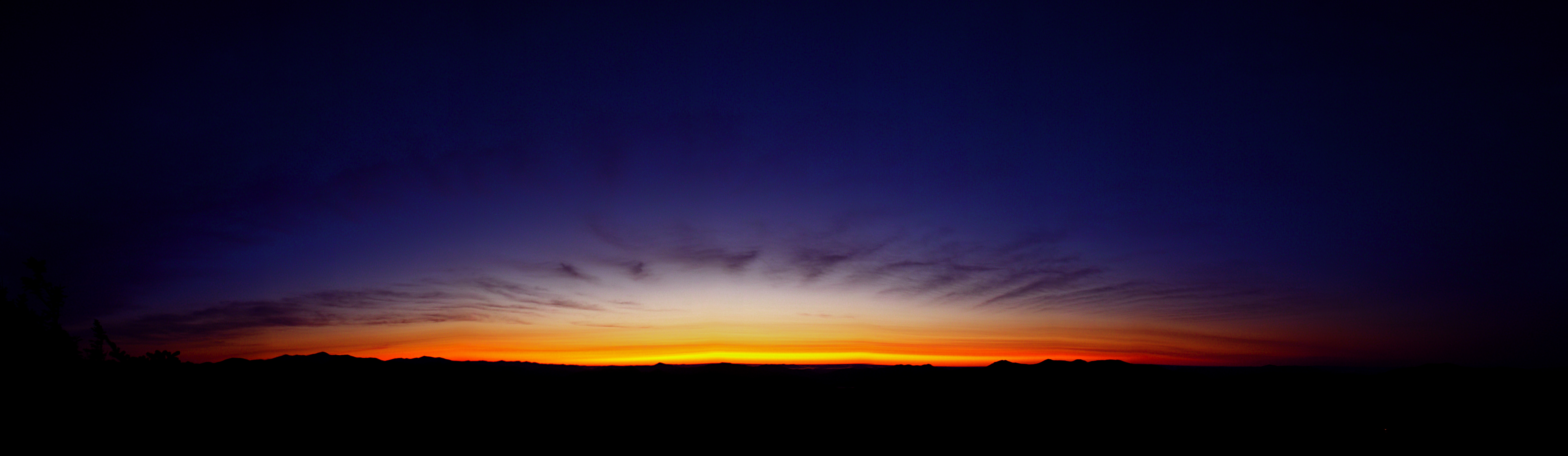
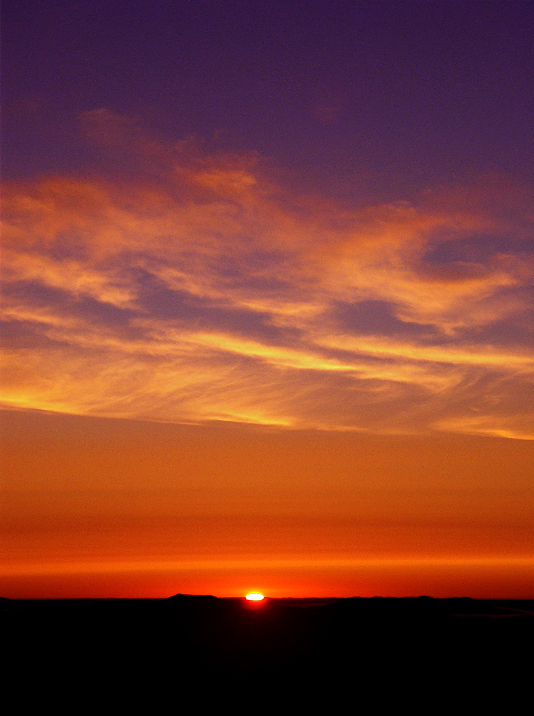
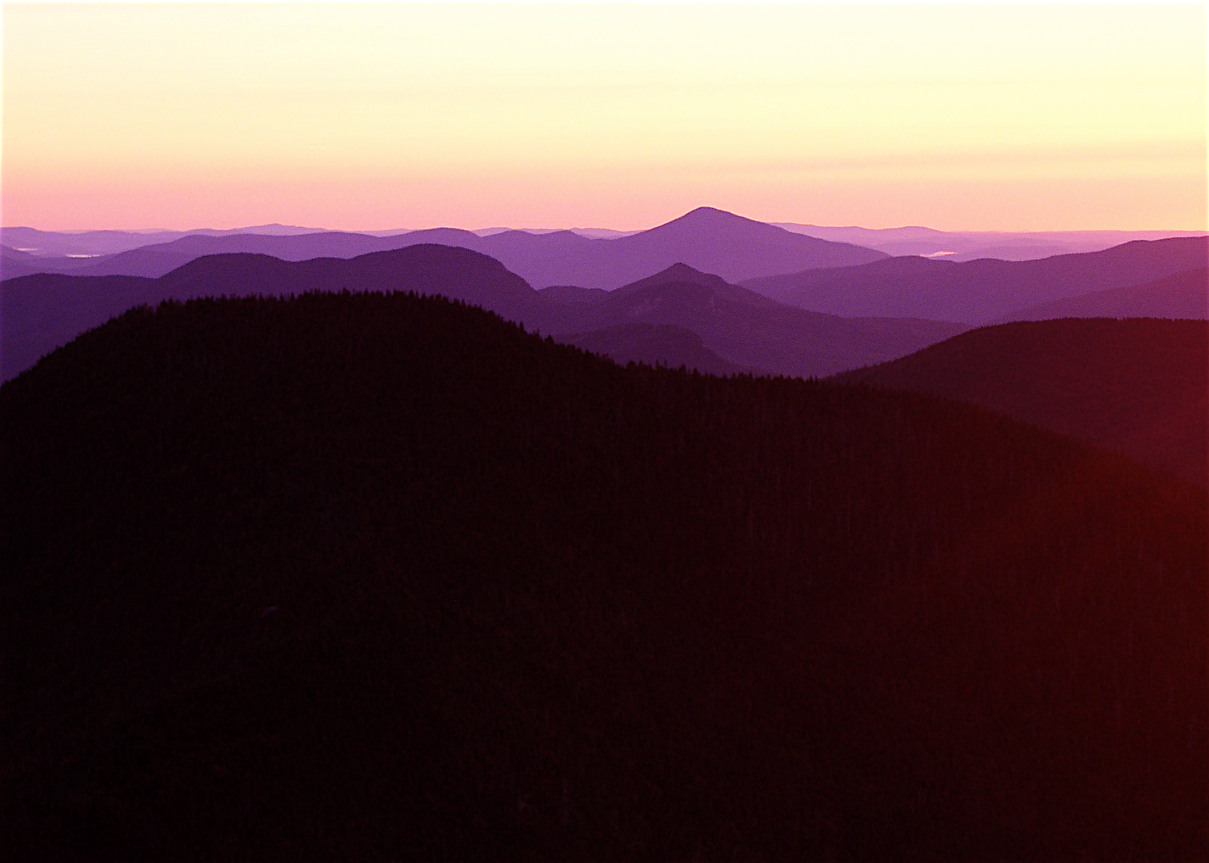
Fotos
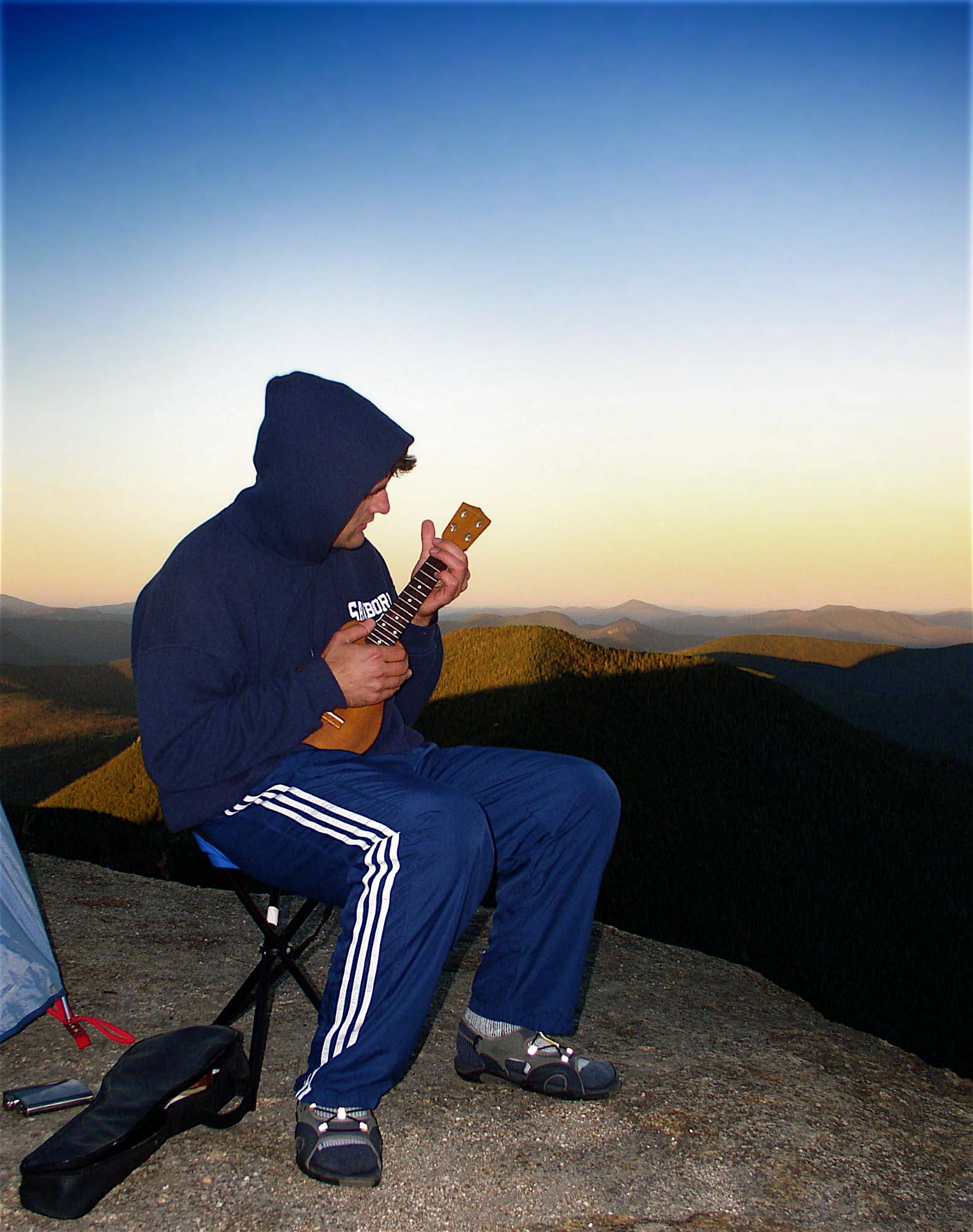
Ukelele sunset seranade

Will Says...

Sunset/Kancamagus Highway

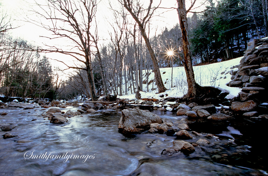
Pemigewasset river, The Basin, White Mountains, NH

The Fog That Surrounds

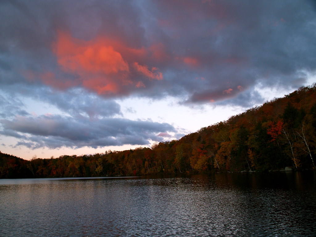
Summer Sunset on the Pemigewasset

The Road To Moosilauke
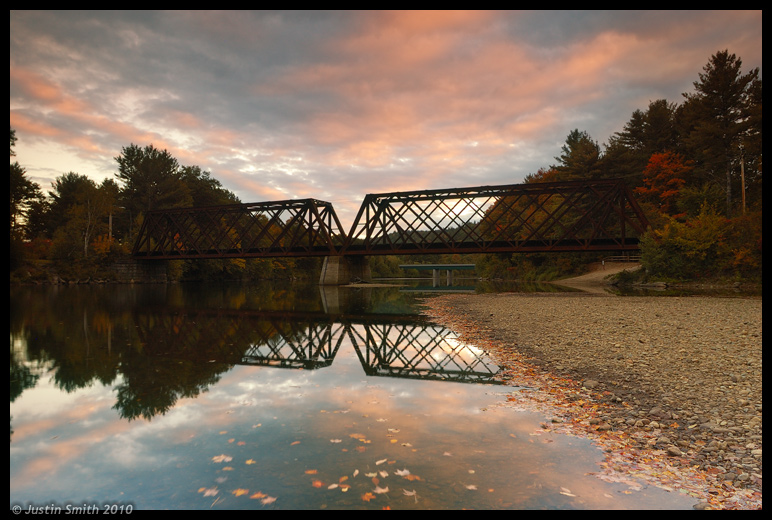
Rail Bridge over Pemi River #2
White Mountains\Sunset, NH
Agassiz Basin Sunset

Kancamagus Hwy_20140830_005
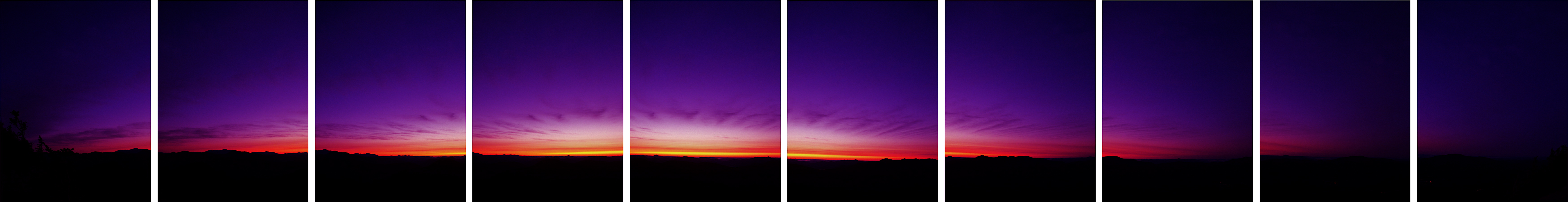
Pink Puff of Morning

Sunset over the Kancamagus Highway

White Mountains 7

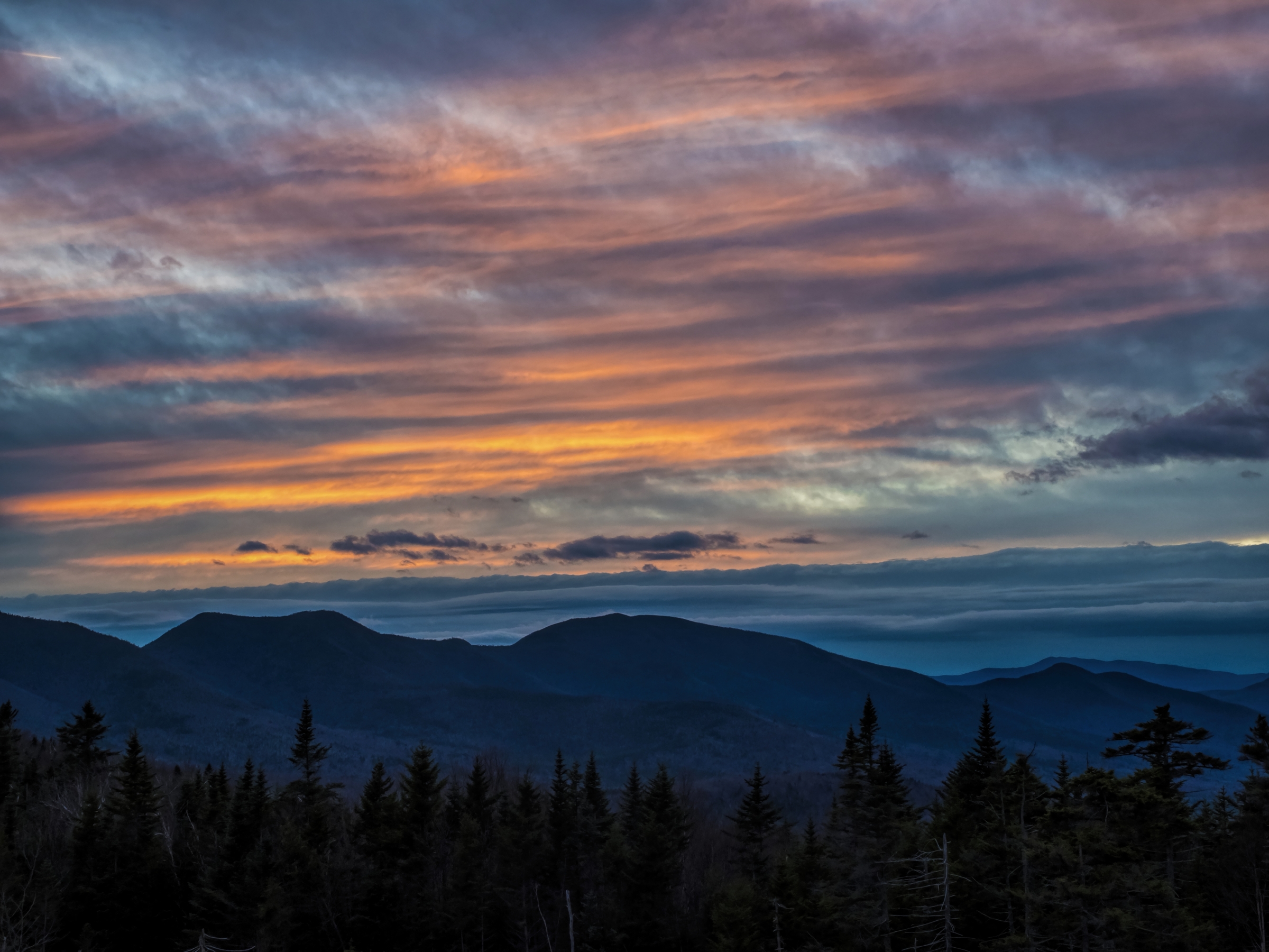
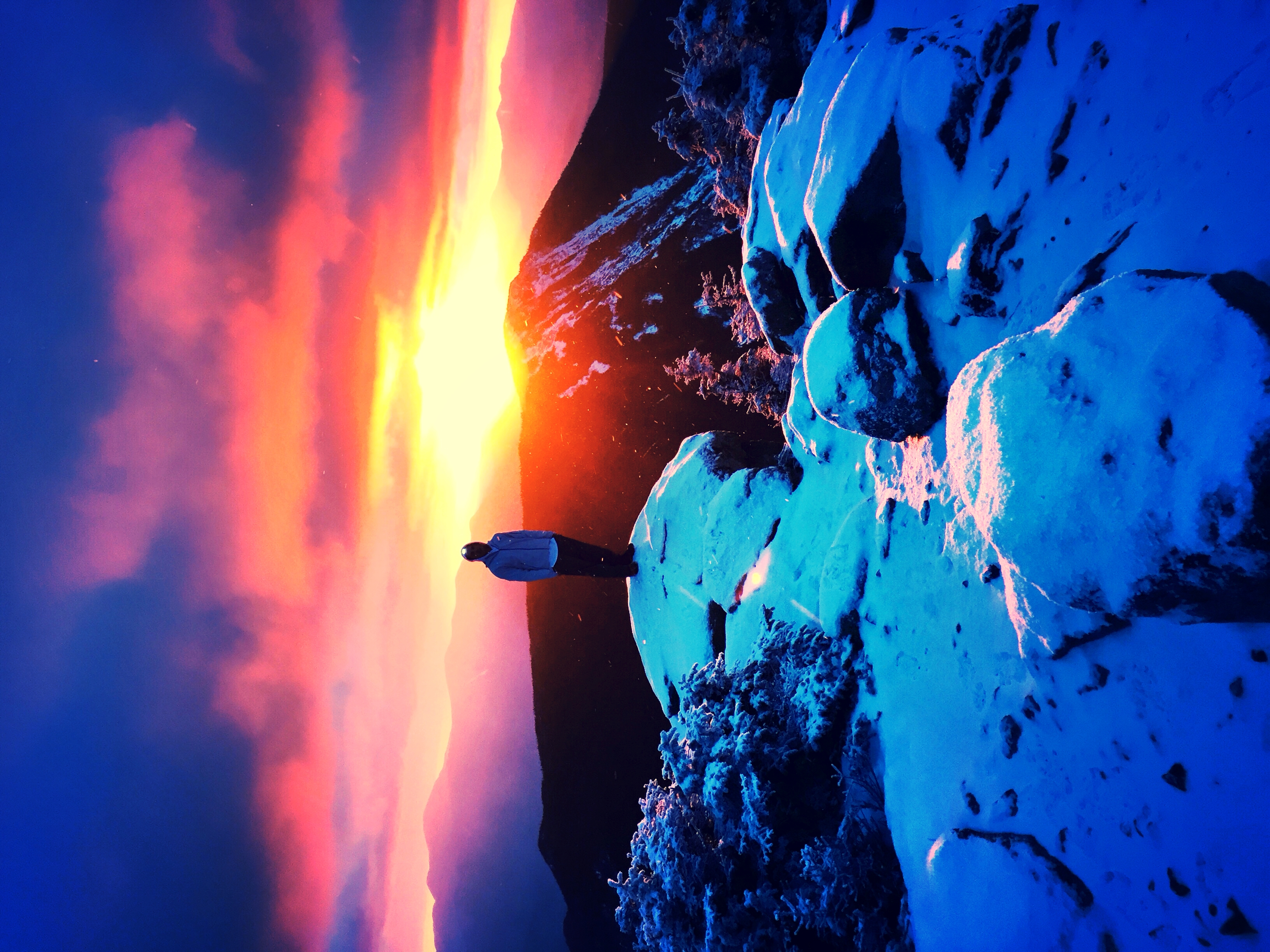
Sunset on Mt Liberty
Sunrise from Liberty
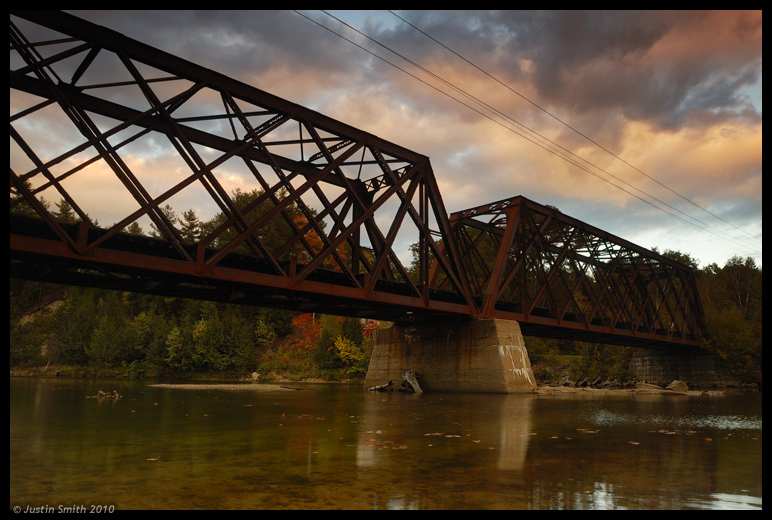
Rail Bridge in Pemigewasset River
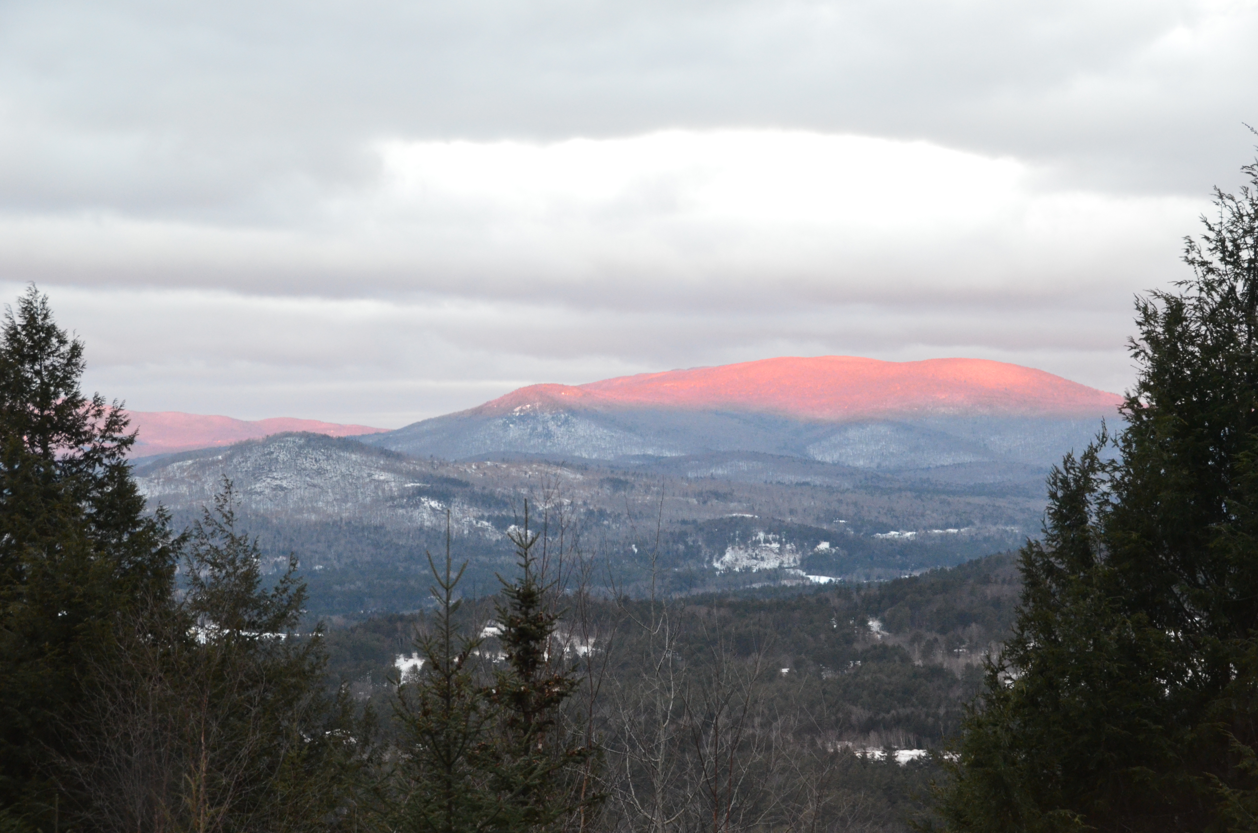
Mt. Kearsarge
Pemigewasset Winter, New Hampshire

Cloudy Evening at Pemigewasset Overlook. White Mountain National Forest
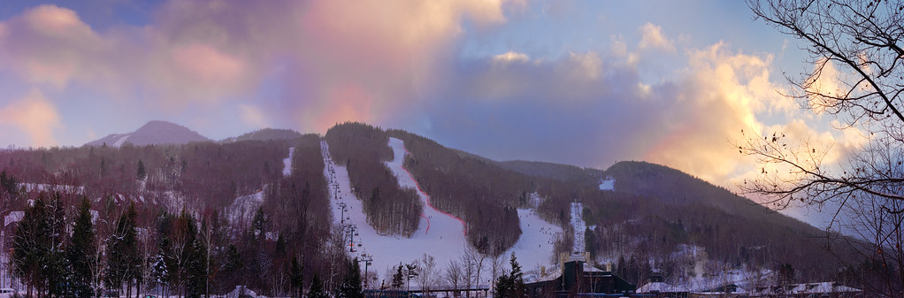
Loon Mountain at Sunset Panorama
Sunrise on Osceola
Sunrise on Osceola
Osceola Sunrise Panorama
Sunrise on Osceola
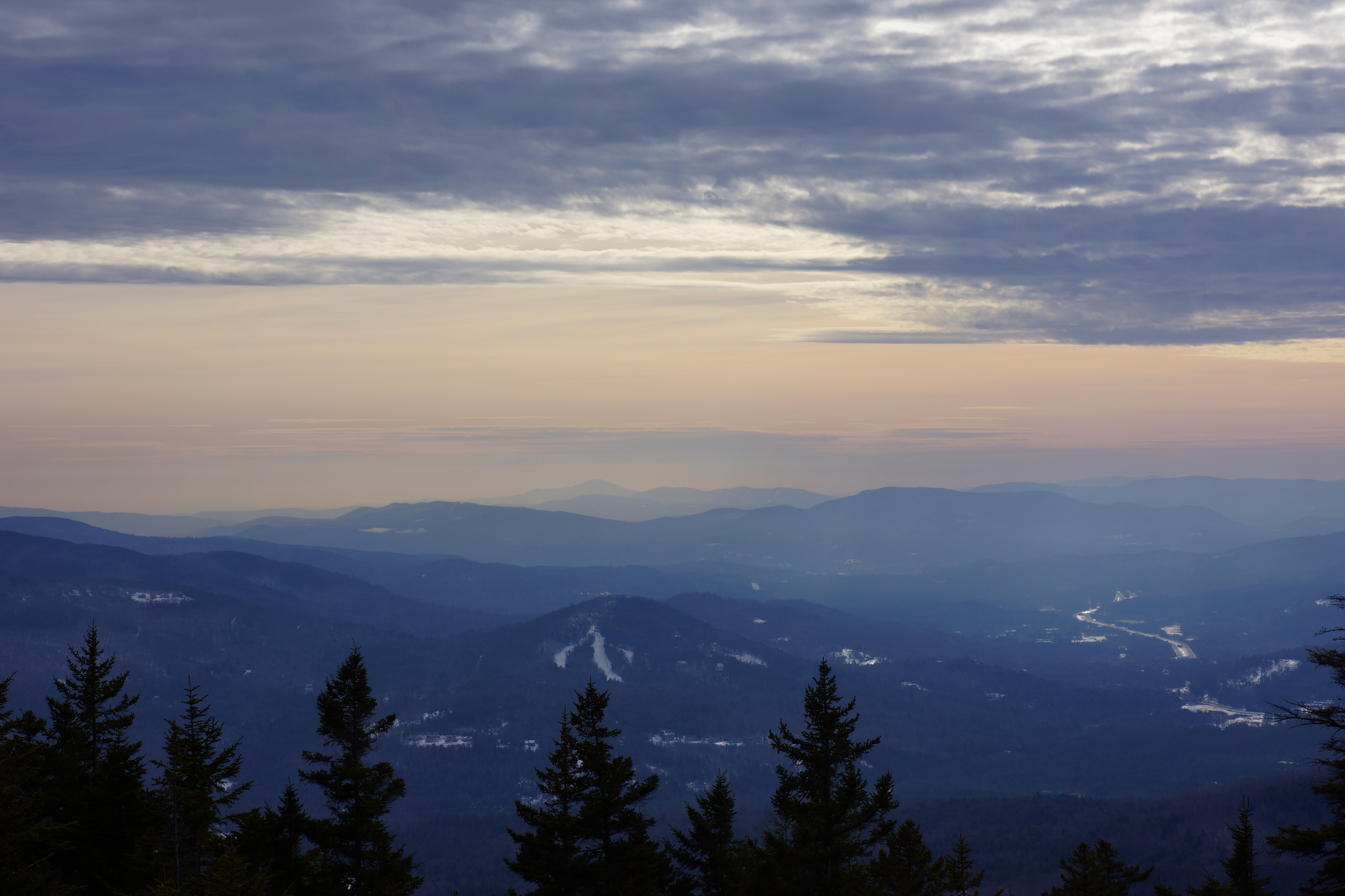
Hazy mountain vista

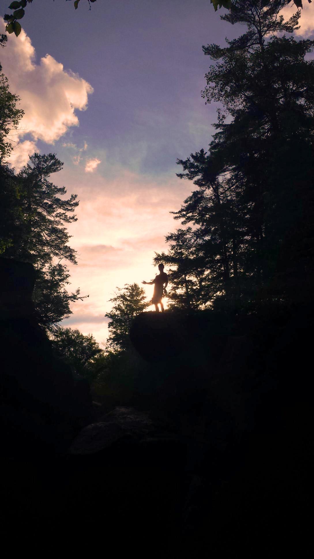
Sunrise Casey
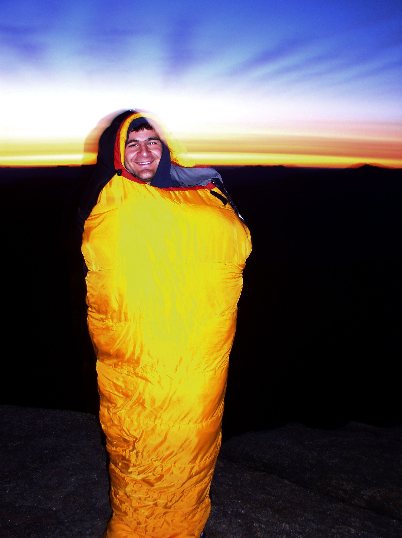
Sunrise Will
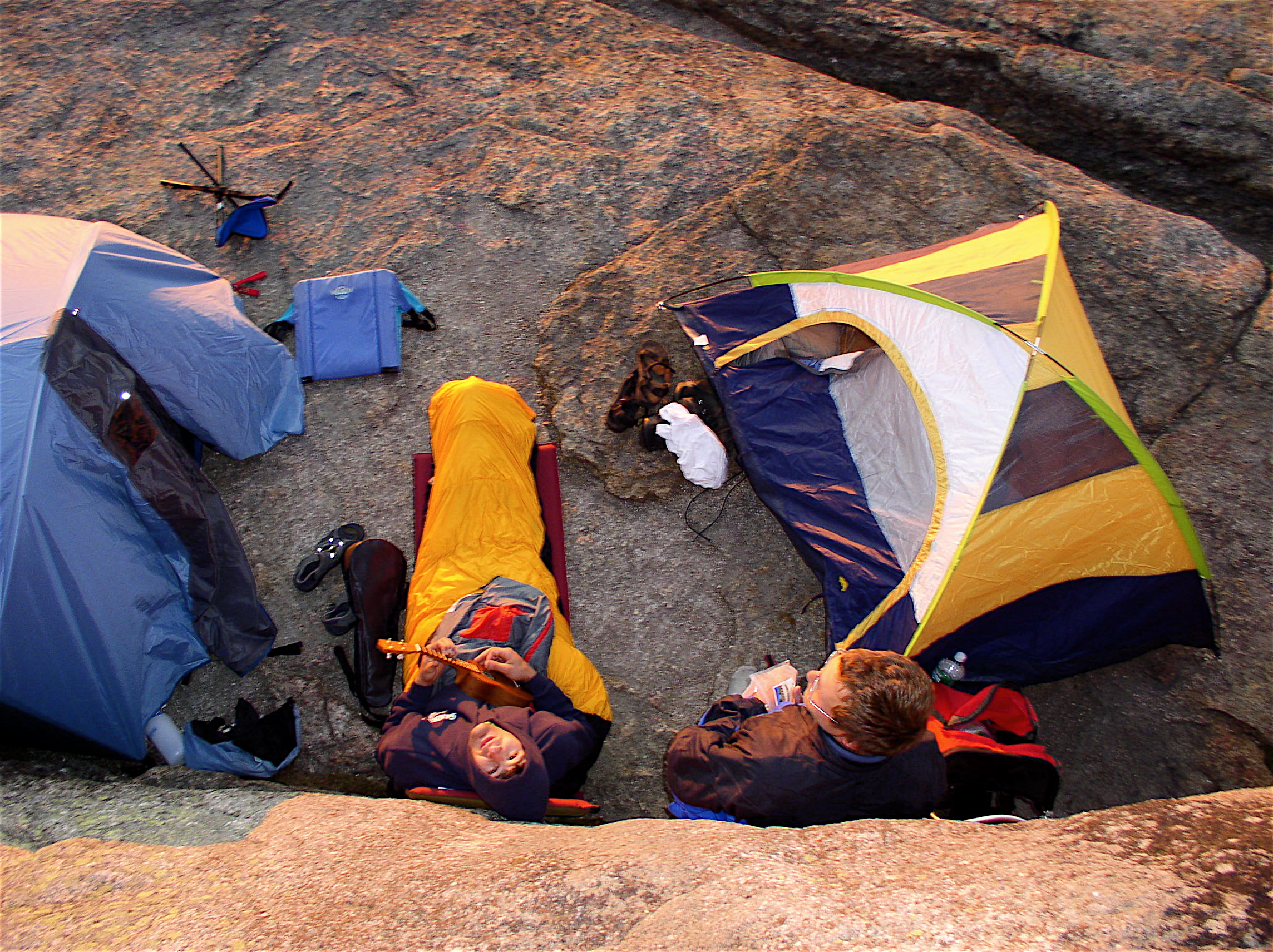
Camp, from above
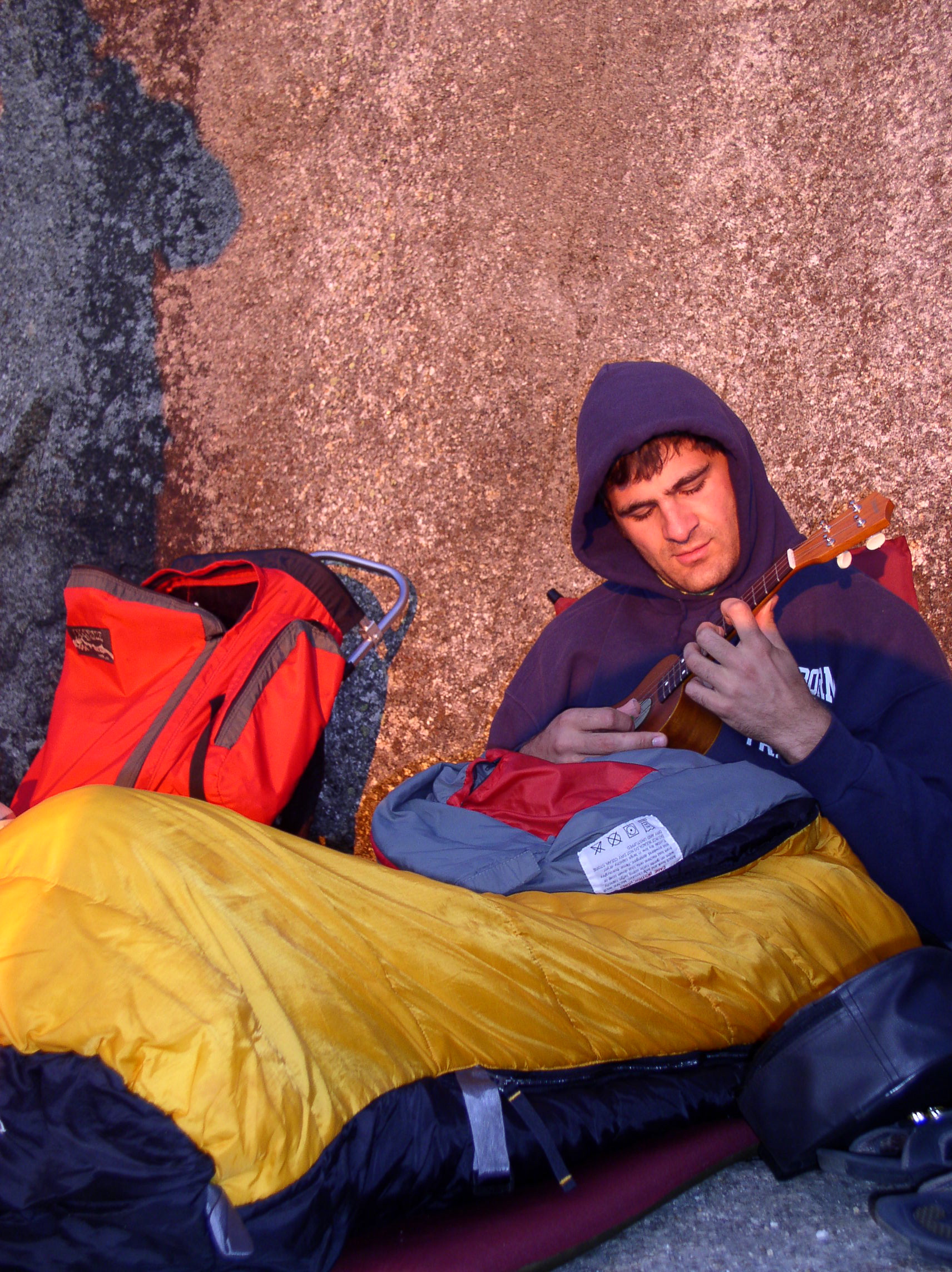
Sunrise ukelele serenade
Osceola Sunrise

Sunrise, Campton Bog

Sunrise from Liberty
1 27-29 2012 Shebbaton (22)

Sunrise from Liberty
Mapa de 74 Potato Hill Rd, North Woodstock, NH, EE. UU.
Buscar otro lugar
Lugares cercanos
Woodstock, Nuevo Hampshire, EE. UU.
Daniel Webster Hwy, North Woodstock, NH, EE. UU.
26 Courtney Rd, North Woodstock, NH, EE. UU.
29 Courtney Rd, North Woodstock, NH, EE. UU.
23 Courtney Rd, North Woodstock, NH, EE. UU.
21 Kancamagus Hwy, North Woodstock, NH, EE. UU.
North Woodstock, Woodstock, Nuevo Hampshire, EE. UU.
Main St, North Woodstock, NH, EE. UU.
White Mountain Bagel Co, 25 Main St, Lincoln, NH, EE. UU.
66 Snow King Rd, North Woodstock, NH, EE. UU.
Lincoln, Nuevo Hampshire, EE. UU.
Lincoln Town Hall, Main St, Lincoln, NH, EE. UU.
Daniel Webster Hwy, Lincoln, NH, EE. UU.
Loon Mountain, Lincoln, NH, EE. UU.
33 Brookline Rd, Lincoln, NH, EE. UU.
Loon Mountain, Livermore, NH, EE. UU.
60 Loon Mountain Rd, Lincoln, NH, EE. UU.
Daniel Webster Hwy, Lincoln, NH, EE. UU.
Loon Mountain Resort, 60 Loon Mountain Rd, Lincoln, NH, EE. UU.
90 Loon Mountain Rd, Lincoln, NH, EE. UU.
Búsquedas recientes
- Horas de salida y puesta de sol de Red Dog Mine, AK, USA
- Horas de salida y puesta de sol de Am Bahnhof, Am bhf, Borken, Germany
- Horas de salida y puesta de sol de 4th St E, Sonoma, CA, EE. UU.
- Horas de salida y puesta de sol de Oakland Ave, Williamsport, PA, EE. UU.
- Horas de salida y puesta de sol de Via Roma, Pieranica CR, Italia
- Horas de salida y puesta de sol de Torre del reloj, Grad, Dubrovnik (Ragusa), Croacia
- Horas de salida y puesta de sol de Trelew, Chubut, Argentina
- Horas de salida y puesta de sol de Hartfords Bluff Cir, Mt Pleasant, SC, EE. UU.
- Horas de salida y puesta de sol de Kita Ward, Kumamoto, Japón
- Horas de salida y puesta de sol de Pingtan Island, Pingtan County, Fuzhou, China