Horas de salida y puesta de sol de Whitwell, Tennessee, EE. UU.
Location: Estados Unidos > Tennessee > Condado de Marion >
Zona horaria:
America/Chicago
Hora local:
2025-06-22 09:24:15
Longitud:
-85.5191323
Latitud:
35.2014631
Salida de sol de hoy:
05:28:19 AM
Puesta de sol de hoy:
08:00:12 PM
La duración del día hoy:
14h 31m 53s
Salida de sol de mañana:
05:28:35 AM
Puesta de sol de mañana:
08:00:21 PM
La duración del día mañana:
14h 31m 46s
Mostrar todas las fechas
| Fecha | Salida de sol | Puesta de sol | Duración del día |
|---|---|---|---|
| 01/01/2025 | 06:50:42 AM | 04:41:44 PM | 9h 51m 2s |
| 02/01/2025 | 06:50:49 AM | 04:42:32 PM | 9h 51m 43s |
| 03/01/2025 | 06:50:55 AM | 04:43:20 PM | 9h 52m 25s |
| 04/01/2025 | 06:50:59 AM | 04:44:10 PM | 9h 53m 11s |
| 05/01/2025 | 06:51:01 AM | 04:45:01 PM | 9h 54m 0s |
| 06/01/2025 | 06:51:01 AM | 04:45:53 PM | 9h 54m 52s |
| 07/01/2025 | 06:50:58 AM | 04:46:46 PM | 9h 55m 48s |
| 08/01/2025 | 06:50:55 AM | 04:47:39 PM | 9h 56m 44s |
| 09/01/2025 | 06:50:49 AM | 04:48:34 PM | 9h 57m 45s |
| 10/01/2025 | 06:50:41 AM | 04:49:29 PM | 9h 58m 48s |
| 11/01/2025 | 06:50:31 AM | 04:50:25 PM | 9h 59m 54s |
| 12/01/2025 | 06:50:19 AM | 04:51:22 PM | 10h 1m 3s |
| 13/01/2025 | 06:50:06 AM | 04:52:19 PM | 10h 2m 13s |
| 14/01/2025 | 06:49:50 AM | 04:53:17 PM | 10h 3m 27s |
| 15/01/2025 | 06:49:33 AM | 04:54:15 PM | 10h 4m 42s |
| 16/01/2025 | 06:49:14 AM | 04:55:14 PM | 10h 6m 0s |
| 17/01/2025 | 06:48:53 AM | 04:56:13 PM | 10h 7m 20s |
| 18/01/2025 | 06:48:30 AM | 04:57:13 PM | 10h 8m 43s |
| 19/01/2025 | 06:48:05 AM | 04:58:13 PM | 10h 10m 8s |
| 20/01/2025 | 06:47:38 AM | 04:59:13 PM | 10h 11m 35s |
| 21/01/2025 | 06:47:10 AM | 05:00:14 PM | 10h 13m 4s |
| 22/01/2025 | 06:46:39 AM | 05:01:15 PM | 10h 14m 36s |
| 23/01/2025 | 06:46:07 AM | 05:02:16 PM | 10h 16m 9s |
| 24/01/2025 | 06:45:34 AM | 05:03:17 PM | 10h 17m 43s |
| 25/01/2025 | 06:44:58 AM | 05:04:19 PM | 10h 19m 21s |
| 26/01/2025 | 06:44:21 AM | 05:05:20 PM | 10h 20m 59s |
| 27/01/2025 | 06:43:42 AM | 05:06:22 PM | 10h 22m 40s |
| 28/01/2025 | 06:43:02 AM | 05:07:23 PM | 10h 24m 21s |
| 29/01/2025 | 06:42:20 AM | 05:08:25 PM | 10h 26m 5s |
| 30/01/2025 | 06:41:36 AM | 05:09:26 PM | 10h 27m 50s |
| 31/01/2025 | 06:40:51 AM | 05:10:28 PM | 10h 29m 37s |
| 01/02/2025 | 06:40:04 AM | 05:11:29 PM | 10h 31m 25s |
| 02/02/2025 | 06:39:15 AM | 05:12:31 PM | 10h 33m 16s |
| 03/02/2025 | 06:38:26 AM | 05:13:32 PM | 10h 35m 6s |
| 04/02/2025 | 06:37:34 AM | 05:14:33 PM | 10h 36m 59s |
| 05/02/2025 | 06:36:42 AM | 05:15:34 PM | 10h 38m 52s |
| 06/02/2025 | 06:35:47 AM | 05:16:34 PM | 10h 40m 47s |
| 07/02/2025 | 06:34:52 AM | 05:17:35 PM | 10h 42m 43s |
| 08/02/2025 | 06:33:55 AM | 05:18:35 PM | 10h 44m 40s |
| 09/02/2025 | 06:32:57 AM | 05:19:35 PM | 10h 46m 38s |
| 10/02/2025 | 06:31:57 AM | 05:20:34 PM | 10h 48m 37s |
| 11/02/2025 | 06:30:57 AM | 05:21:34 PM | 10h 50m 37s |
| 12/02/2025 | 06:29:55 AM | 05:22:33 PM | 10h 52m 38s |
| 13/02/2025 | 06:28:52 AM | 05:23:31 PM | 10h 54m 39s |
| 14/02/2025 | 06:27:48 AM | 05:24:30 PM | 10h 56m 42s |
| 15/02/2025 | 06:26:42 AM | 05:25:28 PM | 10h 58m 46s |
| 16/02/2025 | 06:25:36 AM | 05:26:26 PM | 11h 0m 50s |
| 17/02/2025 | 06:24:28 AM | 05:27:24 PM | 11h 2m 56s |
| 18/02/2025 | 06:23:20 AM | 05:28:21 PM | 11h 5m 1s |
| 19/02/2025 | 06:22:10 AM | 05:29:18 PM | 11h 7m 8s |
| 20/02/2025 | 06:21:00 AM | 05:30:14 PM | 11h 9m 14s |
| 21/02/2025 | 06:19:49 AM | 05:31:10 PM | 11h 11m 21s |
| 22/02/2025 | 06:18:36 AM | 05:32:06 PM | 11h 13m 30s |
| 23/02/2025 | 06:17:23 AM | 05:33:02 PM | 11h 15m 39s |
| 24/02/2025 | 06:16:09 AM | 05:33:57 PM | 11h 17m 48s |
| 25/02/2025 | 06:14:54 AM | 05:34:52 PM | 11h 19m 58s |
| 26/02/2025 | 06:13:39 AM | 05:35:46 PM | 11h 22m 7s |
| 27/02/2025 | 06:12:23 AM | 05:36:40 PM | 11h 24m 17s |
| 28/02/2025 | 06:11:06 AM | 05:37:34 PM | 11h 26m 28s |
| 01/03/2025 | 06:09:48 AM | 05:38:28 PM | 11h 28m 40s |
| 02/03/2025 | 06:08:30 AM | 05:39:21 PM | 11h 30m 51s |
| 03/03/2025 | 06:07:11 AM | 05:40:14 PM | 11h 33m 3s |
| 04/03/2025 | 06:05:51 AM | 05:41:06 PM | 11h 35m 15s |
| 05/03/2025 | 06:04:31 AM | 05:41:59 PM | 11h 37m 28s |
| 06/03/2025 | 06:03:10 AM | 05:42:51 PM | 11h 39m 41s |
| 07/03/2025 | 06:01:49 AM | 05:43:43 PM | 11h 41m 54s |
| 08/03/2025 | 06:00:28 AM | 05:44:34 PM | 11h 44m 6s |
| 09/03/2025 | 06:59:09 AM | 06:45:23 PM | 11h 46m 14s |
| 10/03/2025 | 06:57:47 AM | 06:46:14 PM | 11h 48m 27s |
| 11/03/2025 | 06:56:24 AM | 06:47:05 PM | 11h 50m 41s |
| 12/03/2025 | 06:55:01 AM | 06:47:55 PM | 11h 52m 54s |
| 13/03/2025 | 06:53:38 AM | 06:48:46 PM | 11h 55m 8s |
| 14/03/2025 | 06:52:14 AM | 06:49:36 PM | 11h 57m 22s |
| 15/03/2025 | 06:50:50 AM | 06:50:26 PM | 11h 59m 36s |
| 16/03/2025 | 06:49:26 AM | 06:51:15 PM | 12h 1m 49s |
| 17/03/2025 | 06:48:02 AM | 06:52:05 PM | 12h 4m 3s |
| 18/03/2025 | 06:46:37 AM | 06:52:54 PM | 12h 6m 17s |
| 19/03/2025 | 06:45:13 AM | 06:53:44 PM | 12h 8m 31s |
| 20/03/2025 | 06:43:48 AM | 06:54:33 PM | 12h 10m 45s |
| 21/03/2025 | 06:42:23 AM | 06:55:22 PM | 12h 12m 59s |
| 22/03/2025 | 06:40:58 AM | 06:56:10 PM | 12h 15m 12s |
| 23/03/2025 | 06:39:34 AM | 06:56:59 PM | 12h 17m 25s |
| 24/03/2025 | 06:38:09 AM | 06:57:48 PM | 12h 19m 39s |
| 25/03/2025 | 06:36:44 AM | 06:58:36 PM | 12h 21m 52s |
| 26/03/2025 | 06:35:19 AM | 06:59:25 PM | 12h 24m 6s |
| 27/03/2025 | 06:33:55 AM | 07:00:13 PM | 12h 26m 18s |
| 28/03/2025 | 06:32:30 AM | 07:01:02 PM | 12h 28m 32s |
| 29/03/2025 | 06:31:06 AM | 07:01:50 PM | 12h 30m 44s |
| 30/03/2025 | 06:29:42 AM | 07:02:38 PM | 12h 32m 56s |
| 31/03/2025 | 06:28:18 AM | 07:03:26 PM | 12h 35m 8s |
| 01/04/2025 | 06:26:54 AM | 07:04:15 PM | 12h 37m 21s |
| 02/04/2025 | 06:25:31 AM | 07:05:03 PM | 12h 39m 32s |
| 03/04/2025 | 06:24:08 AM | 07:05:51 PM | 12h 41m 43s |
| 04/04/2025 | 06:22:45 AM | 07:06:39 PM | 12h 43m 54s |
| 05/04/2025 | 06:21:23 AM | 07:07:28 PM | 12h 46m 5s |
| 06/04/2025 | 06:20:01 AM | 07:08:16 PM | 12h 48m 15s |
| 07/04/2025 | 06:18:40 AM | 07:09:04 PM | 12h 50m 24s |
| 08/04/2025 | 06:17:19 AM | 07:09:52 PM | 12h 52m 33s |
| 09/04/2025 | 06:15:58 AM | 07:10:41 PM | 12h 54m 43s |
| 10/04/2025 | 06:14:38 AM | 07:11:29 PM | 12h 56m 51s |
| 11/04/2025 | 06:13:18 AM | 07:12:18 PM | 12h 59m 0s |
| 12/04/2025 | 06:11:59 AM | 07:13:06 PM | 13h 1m 7s |
| 13/04/2025 | 06:10:41 AM | 07:13:55 PM | 13h 3m 14s |
| 14/04/2025 | 06:09:23 AM | 07:14:44 PM | 13h 5m 21s |
| 15/04/2025 | 06:08:06 AM | 07:15:32 PM | 13h 7m 26s |
| 16/04/2025 | 06:06:50 AM | 07:16:21 PM | 13h 9m 31s |
| 17/04/2025 | 06:05:34 AM | 07:17:10 PM | 13h 11m 36s |
| 18/04/2025 | 06:04:19 AM | 07:17:59 PM | 13h 13m 40s |
| 19/04/2025 | 06:03:05 AM | 07:18:48 PM | 13h 15m 43s |
| 20/04/2025 | 06:01:52 AM | 07:19:37 PM | 13h 17m 45s |
| 21/04/2025 | 06:00:39 AM | 07:20:26 PM | 13h 19m 47s |
| 22/04/2025 | 05:59:28 AM | 07:21:15 PM | 13h 21m 47s |
| 23/04/2025 | 05:58:17 AM | 07:22:04 PM | 13h 23m 47s |
| 24/04/2025 | 05:57:07 AM | 07:22:53 PM | 13h 25m 46s |
| 25/04/2025 | 05:55:58 AM | 07:23:43 PM | 13h 27m 45s |
| 26/04/2025 | 05:54:50 AM | 07:24:32 PM | 13h 29m 42s |
| 27/04/2025 | 05:53:43 AM | 07:25:21 PM | 13h 31m 38s |
| 28/04/2025 | 05:52:37 AM | 07:26:11 PM | 13h 33m 34s |
| 29/04/2025 | 05:51:33 AM | 07:27:00 PM | 13h 35m 27s |
| 30/04/2025 | 05:50:29 AM | 07:27:49 PM | 13h 37m 20s |
| 01/05/2025 | 05:49:26 AM | 07:28:38 PM | 13h 39m 12s |
| 02/05/2025 | 05:48:25 AM | 07:29:28 PM | 13h 41m 3s |
| 03/05/2025 | 05:47:24 AM | 07:30:17 PM | 13h 42m 53s |
| 04/05/2025 | 05:46:25 AM | 07:31:06 PM | 13h 44m 41s |
| 05/05/2025 | 05:45:27 AM | 07:31:55 PM | 13h 46m 28s |
| 06/05/2025 | 05:44:30 AM | 07:32:44 PM | 13h 48m 14s |
| 07/05/2025 | 05:43:35 AM | 07:33:33 PM | 13h 49m 58s |
| 08/05/2025 | 05:42:41 AM | 07:34:21 PM | 13h 51m 40s |
| 09/05/2025 | 05:41:48 AM | 07:35:10 PM | 13h 53m 22s |
| 10/05/2025 | 05:40:56 AM | 07:35:58 PM | 13h 55m 2s |
| 11/05/2025 | 05:40:06 AM | 07:36:46 PM | 13h 56m 40s |
| 12/05/2025 | 05:39:17 AM | 07:37:34 PM | 13h 58m 17s |
| 13/05/2025 | 05:38:30 AM | 07:38:21 PM | 13h 59m 51s |
| 14/05/2025 | 05:37:44 AM | 07:39:08 PM | 14h 1m 24s |
| 15/05/2025 | 05:36:59 AM | 07:39:55 PM | 14h 2m 56s |
| 16/05/2025 | 05:36:16 AM | 07:40:42 PM | 14h 4m 26s |
| 17/05/2025 | 05:35:35 AM | 07:41:28 PM | 14h 5m 53s |
| 18/05/2025 | 05:34:55 AM | 07:42:14 PM | 14h 7m 19s |
| 19/05/2025 | 05:34:16 AM | 07:42:59 PM | 14h 8m 43s |
| 20/05/2025 | 05:33:39 AM | 07:43:44 PM | 14h 10m 5s |
| 21/05/2025 | 05:33:04 AM | 07:44:29 PM | 14h 11m 25s |
| 22/05/2025 | 05:32:30 AM | 07:45:12 PM | 14h 12m 42s |
| 23/05/2025 | 05:31:58 AM | 07:45:56 PM | 14h 13m 58s |
| 24/05/2025 | 05:31:27 AM | 07:46:38 PM | 14h 15m 11s |
| 25/05/2025 | 05:30:58 AM | 07:47:20 PM | 14h 16m 22s |
| 26/05/2025 | 05:30:31 AM | 07:48:02 PM | 14h 17m 31s |
| 27/05/2025 | 05:30:05 AM | 07:48:42 PM | 14h 18m 37s |
| 28/05/2025 | 05:29:41 AM | 07:49:22 PM | 14h 19m 41s |
| 29/05/2025 | 05:29:18 AM | 07:50:02 PM | 14h 20m 44s |
| 30/05/2025 | 05:28:57 AM | 07:50:40 PM | 14h 21m 43s |
| 31/05/2025 | 05:28:38 AM | 07:51:17 PM | 14h 22m 39s |
| 01/06/2025 | 05:28:20 AM | 07:51:54 PM | 14h 23m 34s |
| 02/06/2025 | 05:28:05 AM | 07:52:30 PM | 14h 24m 25s |
| 03/06/2025 | 05:27:50 AM | 07:53:04 PM | 14h 25m 14s |
| 04/06/2025 | 05:27:38 AM | 07:53:38 PM | 14h 26m 0s |
| 05/06/2025 | 05:27:27 AM | 07:54:11 PM | 14h 26m 44s |
| 06/06/2025 | 05:27:18 AM | 07:54:43 PM | 14h 27m 25s |
| 07/06/2025 | 05:27:10 AM | 07:55:13 PM | 14h 28m 3s |
| 08/06/2025 | 05:27:04 AM | 07:55:43 PM | 14h 28m 39s |
| 09/06/2025 | 05:27:00 AM | 07:56:11 PM | 14h 29m 11s |
| 10/06/2025 | 05:26:57 AM | 07:56:38 PM | 14h 29m 41s |
| 11/06/2025 | 05:26:56 AM | 07:57:04 PM | 14h 30m 8s |
| 12/06/2025 | 05:26:57 AM | 07:57:28 PM | 14h 30m 31s |
| 13/06/2025 | 05:26:59 AM | 07:57:51 PM | 14h 30m 52s |
| 14/06/2025 | 05:27:03 AM | 07:58:13 PM | 14h 31m 10s |
| 15/06/2025 | 05:27:08 AM | 07:58:34 PM | 14h 31m 26s |
| 16/06/2025 | 05:27:15 AM | 07:58:53 PM | 14h 31m 38s |
| 17/06/2025 | 05:27:23 AM | 07:59:11 PM | 14h 31m 48s |
| 18/06/2025 | 05:27:33 AM | 07:59:27 PM | 14h 31m 54s |
| 19/06/2025 | 05:27:44 AM | 07:59:42 PM | 14h 31m 58s |
| 20/06/2025 | 05:27:57 AM | 07:59:55 PM | 14h 31m 58s |
| 21/06/2025 | 05:28:12 AM | 08:00:07 PM | 14h 31m 55s |
| 22/06/2025 | 05:28:27 AM | 08:00:17 PM | 14h 31m 50s |
| 23/06/2025 | 05:28:44 AM | 08:00:26 PM | 14h 31m 42s |
| 24/06/2025 | 05:29:03 AM | 08:00:33 PM | 14h 31m 30s |
| 25/06/2025 | 05:29:23 AM | 08:00:38 PM | 14h 31m 15s |
| 26/06/2025 | 05:29:44 AM | 08:00:42 PM | 14h 30m 58s |
| 27/06/2025 | 05:30:06 AM | 08:00:44 PM | 14h 30m 38s |
| 28/06/2025 | 05:30:30 AM | 08:00:45 PM | 14h 30m 15s |
| 29/06/2025 | 05:30:54 AM | 08:00:44 PM | 14h 29m 50s |
| 30/06/2025 | 05:31:20 AM | 08:00:41 PM | 14h 29m 21s |
| 01/07/2025 | 05:31:47 AM | 08:00:37 PM | 14h 28m 50s |
| 02/07/2025 | 05:32:16 AM | 08:00:31 PM | 14h 28m 15s |
| 03/07/2025 | 05:32:45 AM | 08:00:23 PM | 14h 27m 38s |
| 04/07/2025 | 05:33:15 AM | 08:00:13 PM | 14h 26m 58s |
| 05/07/2025 | 05:33:47 AM | 08:00:02 PM | 14h 26m 15s |
| 06/07/2025 | 05:34:19 AM | 07:59:49 PM | 14h 25m 30s |
| 07/07/2025 | 05:34:52 AM | 07:59:35 PM | 14h 24m 43s |
| 08/07/2025 | 05:35:26 AM | 07:59:18 PM | 14h 23m 52s |
| 09/07/2025 | 05:36:01 AM | 07:59:00 PM | 14h 22m 59s |
| 10/07/2025 | 05:36:37 AM | 07:58:40 PM | 14h 22m 3s |
| 11/07/2025 | 05:37:14 AM | 07:58:19 PM | 14h 21m 5s |
| 12/07/2025 | 05:37:51 AM | 07:57:56 PM | 14h 20m 5s |
| 13/07/2025 | 05:38:29 AM | 07:57:31 PM | 14h 19m 2s |
| 14/07/2025 | 05:39:08 AM | 07:57:05 PM | 14h 17m 57s |
| 15/07/2025 | 05:39:47 AM | 07:56:37 PM | 14h 16m 50s |
| 16/07/2025 | 05:40:27 AM | 07:56:07 PM | 14h 15m 40s |
| 17/07/2025 | 05:41:08 AM | 07:55:35 PM | 14h 14m 27s |
| 18/07/2025 | 05:41:49 AM | 07:55:02 PM | 14h 13m 13s |
| 19/07/2025 | 05:42:30 AM | 07:54:28 PM | 14h 11m 58s |
| 20/07/2025 | 05:43:12 AM | 07:53:51 PM | 14h 10m 39s |
| 21/07/2025 | 05:43:55 AM | 07:53:14 PM | 14h 9m 19s |
| 22/07/2025 | 05:44:38 AM | 07:52:34 PM | 14h 7m 56s |
| 23/07/2025 | 05:45:21 AM | 07:51:53 PM | 14h 6m 32s |
| 24/07/2025 | 05:46:05 AM | 07:51:11 PM | 14h 5m 6s |
| 25/07/2025 | 05:46:49 AM | 07:50:27 PM | 14h 3m 38s |
| 26/07/2025 | 05:47:33 AM | 07:49:41 PM | 14h 2m 8s |
| 27/07/2025 | 05:48:18 AM | 07:48:54 PM | 14h 0m 36s |
| 28/07/2025 | 05:49:03 AM | 07:48:06 PM | 13h 59m 3s |
| 29/07/2025 | 05:49:48 AM | 07:47:16 PM | 13h 57m 28s |
| 30/07/2025 | 05:50:33 AM | 07:46:25 PM | 13h 55m 52s |
| 31/07/2025 | 05:51:18 AM | 07:45:32 PM | 13h 54m 14s |
| 01/08/2025 | 05:52:04 AM | 07:44:38 PM | 13h 52m 34s |
| 02/08/2025 | 05:52:49 AM | 07:43:43 PM | 13h 50m 54s |
| 03/08/2025 | 05:53:35 AM | 07:42:46 PM | 13h 49m 11s |
| 04/08/2025 | 05:54:21 AM | 07:41:48 PM | 13h 47m 27s |
| 05/08/2025 | 05:55:07 AM | 07:40:49 PM | 13h 45m 42s |
| 06/08/2025 | 05:55:53 AM | 07:39:48 PM | 13h 43m 55s |
| 07/08/2025 | 05:56:38 AM | 07:38:47 PM | 13h 42m 9s |
| 08/08/2025 | 05:57:24 AM | 07:37:44 PM | 13h 40m 20s |
| 09/08/2025 | 05:58:10 AM | 07:36:40 PM | 13h 38m 30s |
| 10/08/2025 | 05:58:56 AM | 07:35:35 PM | 13h 36m 39s |
| 11/08/2025 | 05:59:42 AM | 07:34:29 PM | 13h 34m 47s |
| 12/08/2025 | 06:00:28 AM | 07:33:21 PM | 13h 32m 53s |
| 13/08/2025 | 06:01:14 AM | 07:32:13 PM | 13h 30m 59s |
| 14/08/2025 | 06:02:00 AM | 07:31:04 PM | 13h 29m 4s |
| 15/08/2025 | 06:02:46 AM | 07:29:53 PM | 13h 27m 7s |
| 16/08/2025 | 06:03:31 AM | 07:28:42 PM | 13h 25m 11s |
| 17/08/2025 | 06:04:17 AM | 07:27:30 PM | 13h 23m 13s |
| 18/08/2025 | 06:05:02 AM | 07:26:17 PM | 13h 21m 15s |
| 19/08/2025 | 06:05:48 AM | 07:25:03 PM | 13h 19m 15s |
| 20/08/2025 | 06:06:33 AM | 07:23:48 PM | 13h 17m 15s |
| 21/08/2025 | 06:07:18 AM | 07:22:32 PM | 13h 15m 14s |
| 22/08/2025 | 06:08:03 AM | 07:21:15 PM | 13h 13m 12s |
| 23/08/2025 | 06:08:48 AM | 07:19:58 PM | 13h 11m 10s |
| 24/08/2025 | 06:09:33 AM | 07:18:40 PM | 13h 9m 7s |
| 25/08/2025 | 06:10:18 AM | 07:17:22 PM | 13h 7m 4s |
| 26/08/2025 | 06:11:03 AM | 07:16:02 PM | 13h 4m 59s |
| 27/08/2025 | 06:11:48 AM | 07:14:42 PM | 13h 2m 54s |
| 28/08/2025 | 06:12:32 AM | 07:13:21 PM | 13h 0m 49s |
| 29/08/2025 | 06:13:17 AM | 07:12:00 PM | 12h 58m 43s |
| 30/08/2025 | 06:14:01 AM | 07:10:38 PM | 12h 56m 37s |
| 31/08/2025 | 06:14:45 AM | 07:09:16 PM | 12h 54m 31s |
| 01/09/2025 | 06:15:30 AM | 07:07:53 PM | 12h 52m 23s |
| 02/09/2025 | 06:16:14 AM | 07:06:30 PM | 12h 50m 16s |
| 03/09/2025 | 06:16:58 AM | 07:05:06 PM | 12h 48m 8s |
| 04/09/2025 | 06:17:42 AM | 07:03:42 PM | 12h 46m 0s |
| 05/09/2025 | 06:18:26 AM | 07:02:17 PM | 12h 43m 51s |
| 06/09/2025 | 06:19:10 AM | 07:00:52 PM | 12h 41m 42s |
| 07/09/2025 | 06:19:54 AM | 06:59:27 PM | 12h 39m 33s |
| 08/09/2025 | 06:20:38 AM | 06:58:01 PM | 12h 37m 23s |
| 09/09/2025 | 06:21:22 AM | 06:56:35 PM | 12h 35m 13s |
| 10/09/2025 | 06:22:06 AM | 06:55:09 PM | 12h 33m 3s |
| 11/09/2025 | 06:22:50 AM | 06:53:43 PM | 12h 30m 53s |
| 12/09/2025 | 06:23:34 AM | 06:52:16 PM | 12h 28m 42s |
| 13/09/2025 | 06:24:18 AM | 06:50:49 PM | 12h 26m 31s |
| 14/09/2025 | 06:25:02 AM | 06:49:23 PM | 12h 24m 21s |
| 15/09/2025 | 06:25:46 AM | 06:47:56 PM | 12h 22m 10s |
| 16/09/2025 | 06:26:30 AM | 06:46:28 PM | 12h 19m 58s |
| 17/09/2025 | 06:27:15 AM | 06:45:01 PM | 12h 17m 46s |
| 18/09/2025 | 06:27:59 AM | 06:43:34 PM | 12h 15m 35s |
| 19/09/2025 | 06:28:43 AM | 06:42:07 PM | 12h 13m 24s |
| 20/09/2025 | 06:29:28 AM | 06:40:40 PM | 12h 11m 12s |
| 21/09/2025 | 06:30:13 AM | 06:39:13 PM | 12h 9m 0s |
| 22/09/2025 | 06:30:57 AM | 06:37:46 PM | 12h 6m 49s |
| 23/09/2025 | 06:31:42 AM | 06:36:19 PM | 12h 4m 37s |
| 24/09/2025 | 06:32:27 AM | 06:34:52 PM | 12h 2m 25s |
| 25/09/2025 | 06:33:13 AM | 06:33:26 PM | 12h 0m 13s |
| 26/09/2025 | 06:33:58 AM | 06:32:00 PM | 11h 58m 2s |
| 27/09/2025 | 06:34:44 AM | 06:30:34 PM | 11h 55m 50s |
| 28/09/2025 | 06:35:30 AM | 06:29:08 PM | 11h 53m 38s |
| 29/09/2025 | 06:36:16 AM | 06:27:42 PM | 11h 51m 26s |
| 30/09/2025 | 06:37:02 AM | 06:26:17 PM | 11h 49m 15s |
| 01/10/2025 | 06:37:49 AM | 06:24:52 PM | 11h 47m 3s |
| 02/10/2025 | 06:38:35 AM | 06:23:28 PM | 11h 44m 53s |
| 03/10/2025 | 06:39:22 AM | 06:22:04 PM | 11h 42m 42s |
| 04/10/2025 | 06:40:10 AM | 06:20:40 PM | 11h 40m 30s |
| 05/10/2025 | 06:40:57 AM | 06:19:17 PM | 11h 38m 20s |
| 06/10/2025 | 06:41:45 AM | 06:17:55 PM | 11h 36m 10s |
| 07/10/2025 | 06:42:34 AM | 06:16:32 PM | 11h 33m 58s |
| 08/10/2025 | 06:43:22 AM | 06:15:11 PM | 11h 31m 49s |
| 09/10/2025 | 06:44:11 AM | 06:13:50 PM | 11h 29m 39s |
| 10/10/2025 | 06:45:00 AM | 06:12:30 PM | 11h 27m 30s |
| 11/10/2025 | 06:45:50 AM | 06:11:10 PM | 11h 25m 20s |
| 12/10/2025 | 06:46:39 AM | 06:09:51 PM | 11h 23m 12s |
| 13/10/2025 | 06:47:30 AM | 06:08:33 PM | 11h 21m 3s |
| 14/10/2025 | 06:48:20 AM | 06:07:15 PM | 11h 18m 55s |
| 15/10/2025 | 06:49:11 AM | 06:05:59 PM | 11h 16m 48s |
| 16/10/2025 | 06:50:02 AM | 06:04:43 PM | 11h 14m 41s |
| 17/10/2025 | 06:50:54 AM | 06:03:28 PM | 11h 12m 34s |
| 18/10/2025 | 06:51:46 AM | 06:02:14 PM | 11h 10m 28s |
| 19/10/2025 | 06:52:38 AM | 06:01:00 PM | 11h 8m 22s |
| 20/10/2025 | 06:53:31 AM | 05:59:48 PM | 11h 6m 17s |
| 21/10/2025 | 06:54:24 AM | 05:58:37 PM | 11h 4m 13s |
| 22/10/2025 | 06:55:17 AM | 05:57:26 PM | 11h 2m 9s |
| 23/10/2025 | 06:56:11 AM | 05:56:17 PM | 11h 0m 6s |
| 24/10/2025 | 06:57:05 AM | 05:55:09 PM | 10h 58m 4s |
| 25/10/2025 | 06:58:00 AM | 05:54:02 PM | 10h 56m 2s |
| 26/10/2025 | 06:58:55 AM | 05:52:56 PM | 10h 54m 1s |
| 27/10/2025 | 06:59:50 AM | 05:51:51 PM | 10h 52m 1s |
| 28/10/2025 | 07:00:45 AM | 05:50:47 PM | 10h 50m 2s |
| 29/10/2025 | 07:01:41 AM | 05:49:45 PM | 10h 48m 4s |
| 30/10/2025 | 07:02:37 AM | 05:48:43 PM | 10h 46m 6s |
| 31/10/2025 | 07:03:34 AM | 05:47:43 PM | 10h 44m 9s |
| 01/11/2025 | 07:04:31 AM | 05:46:45 PM | 10h 42m 14s |
| 02/11/2025 | 06:05:30 AM | 04:45:45 PM | 10h 40m 15s |
| 03/11/2025 | 06:06:27 AM | 04:44:49 PM | 10h 38m 22s |
| 04/11/2025 | 06:07:25 AM | 04:43:55 PM | 10h 36m 30s |
| 05/11/2025 | 06:08:23 AM | 04:43:02 PM | 10h 34m 39s |
| 06/11/2025 | 06:09:20 AM | 04:42:10 PM | 10h 32m 50s |
| 07/11/2025 | 06:10:19 AM | 04:41:20 PM | 10h 31m 1s |
| 08/11/2025 | 06:11:17 AM | 04:40:32 PM | 10h 29m 15s |
| 09/11/2025 | 06:12:15 AM | 04:39:45 PM | 10h 27m 30s |
| 10/11/2025 | 06:13:14 AM | 04:39:00 PM | 10h 25m 46s |
| 11/11/2025 | 06:14:13 AM | 04:38:16 PM | 10h 24m 3s |
| 12/11/2025 | 06:15:11 AM | 04:37:34 PM | 10h 22m 23s |
| 13/11/2025 | 06:16:10 AM | 04:36:53 PM | 10h 20m 43s |
| 14/11/2025 | 06:17:09 AM | 04:36:15 PM | 10h 19m 6s |
| 15/11/2025 | 06:18:07 AM | 04:35:38 PM | 10h 17m 31s |
| 16/11/2025 | 06:19:06 AM | 04:35:02 PM | 10h 15m 56s |
| 17/11/2025 | 06:20:05 AM | 04:34:29 PM | 10h 14m 24s |
| 18/11/2025 | 06:21:03 AM | 04:33:57 PM | 10h 12m 54s |
| 19/11/2025 | 06:22:01 AM | 04:33:27 PM | 10h 11m 26s |
| 20/11/2025 | 06:22:59 AM | 04:32:59 PM | 10h 10m 0s |
| 21/11/2025 | 06:23:57 AM | 04:32:33 PM | 10h 8m 36s |
| 22/11/2025 | 06:24:55 AM | 04:32:08 PM | 10h 7m 13s |
| 23/11/2025 | 06:25:52 AM | 04:31:46 PM | 10h 5m 54s |
| 24/11/2025 | 06:26:49 AM | 04:31:25 PM | 10h 4m 36s |
| 25/11/2025 | 06:27:45 AM | 04:31:07 PM | 10h 3m 22s |
| 26/11/2025 | 06:28:41 AM | 04:30:50 PM | 10h 2m 9s |
| 27/11/2025 | 06:29:36 AM | 04:30:35 PM | 10h 0m 59s |
| 28/11/2025 | 06:30:31 AM | 04:30:22 PM | 9h 59m 51s |
| 29/11/2025 | 06:31:25 AM | 04:30:11 PM | 9h 58m 46s |
| 30/11/2025 | 06:32:19 AM | 04:30:02 PM | 9h 57m 43s |
| 01/12/2025 | 06:33:12 AM | 04:29:55 PM | 9h 56m 43s |
| 02/12/2025 | 06:34:04 AM | 04:29:50 PM | 9h 55m 46s |
| 03/12/2025 | 06:34:55 AM | 04:29:47 PM | 9h 54m 52s |
| 04/12/2025 | 06:35:46 AM | 04:29:46 PM | 9h 54m 0s |
| 05/12/2025 | 06:36:36 AM | 04:29:47 PM | 9h 53m 11s |
| 06/12/2025 | 06:37:24 AM | 04:29:49 PM | 9h 52m 25s |
| 07/12/2025 | 06:38:12 AM | 04:29:54 PM | 9h 51m 42s |
| 08/12/2025 | 06:38:59 AM | 04:30:01 PM | 9h 51m 2s |
| 09/12/2025 | 06:39:44 AM | 04:30:09 PM | 9h 50m 25s |
| 10/12/2025 | 06:40:29 AM | 04:30:20 PM | 9h 49m 51s |
| 11/12/2025 | 06:41:12 AM | 04:30:33 PM | 9h 49m 21s |
| 12/12/2025 | 06:41:54 AM | 04:30:47 PM | 9h 48m 53s |
| 13/12/2025 | 06:42:35 AM | 04:31:03 PM | 9h 48m 28s |
| 14/12/2025 | 06:43:15 AM | 04:31:21 PM | 9h 48m 6s |
| 15/12/2025 | 06:43:53 AM | 04:31:41 PM | 9h 47m 48s |
| 16/12/2025 | 06:44:30 AM | 04:32:03 PM | 9h 47m 33s |
| 17/12/2025 | 06:45:05 AM | 04:32:27 PM | 9h 47m 22s |
| 18/12/2025 | 06:45:39 AM | 04:32:52 PM | 9h 47m 13s |
| 19/12/2025 | 06:46:11 AM | 04:33:19 PM | 9h 47m 8s |
| 20/12/2025 | 06:46:42 AM | 04:33:48 PM | 9h 47m 6s |
| 21/12/2025 | 06:47:12 AM | 04:34:18 PM | 9h 47m 6s |
| 22/12/2025 | 06:47:39 AM | 04:34:50 PM | 9h 47m 11s |
| 23/12/2025 | 06:48:05 AM | 04:35:24 PM | 9h 47m 19s |
| 24/12/2025 | 06:48:29 AM | 04:35:59 PM | 9h 47m 30s |
| 25/12/2025 | 06:48:52 AM | 04:36:36 PM | 9h 47m 44s |
| 26/12/2025 | 06:49:13 AM | 04:37:14 PM | 9h 48m 1s |
| 27/12/2025 | 06:49:32 AM | 04:37:54 PM | 9h 48m 22s |
| 28/12/2025 | 06:49:49 AM | 04:38:35 PM | 9h 48m 46s |
| 29/12/2025 | 06:50:04 AM | 04:39:17 PM | 9h 49m 13s |
| 30/12/2025 | 06:50:18 AM | 04:40:01 PM | 9h 49m 43s |
| 31/12/2025 | 06:50:30 AM | 04:40:46 PM | 9h 50m 16s |
Fotos
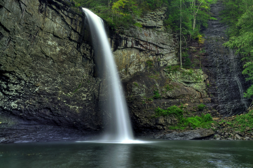
Foster Falls
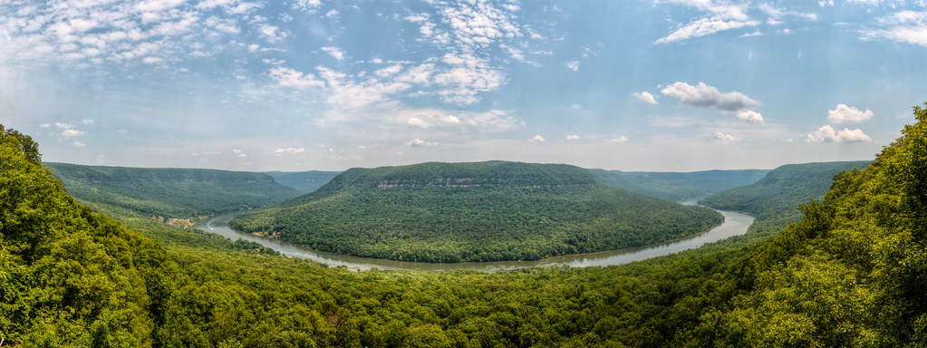
Mullen's Cove
Signal Mountain, Tennessee
The Woods of Chattanooga
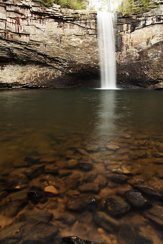
Fosters Falls' Pool
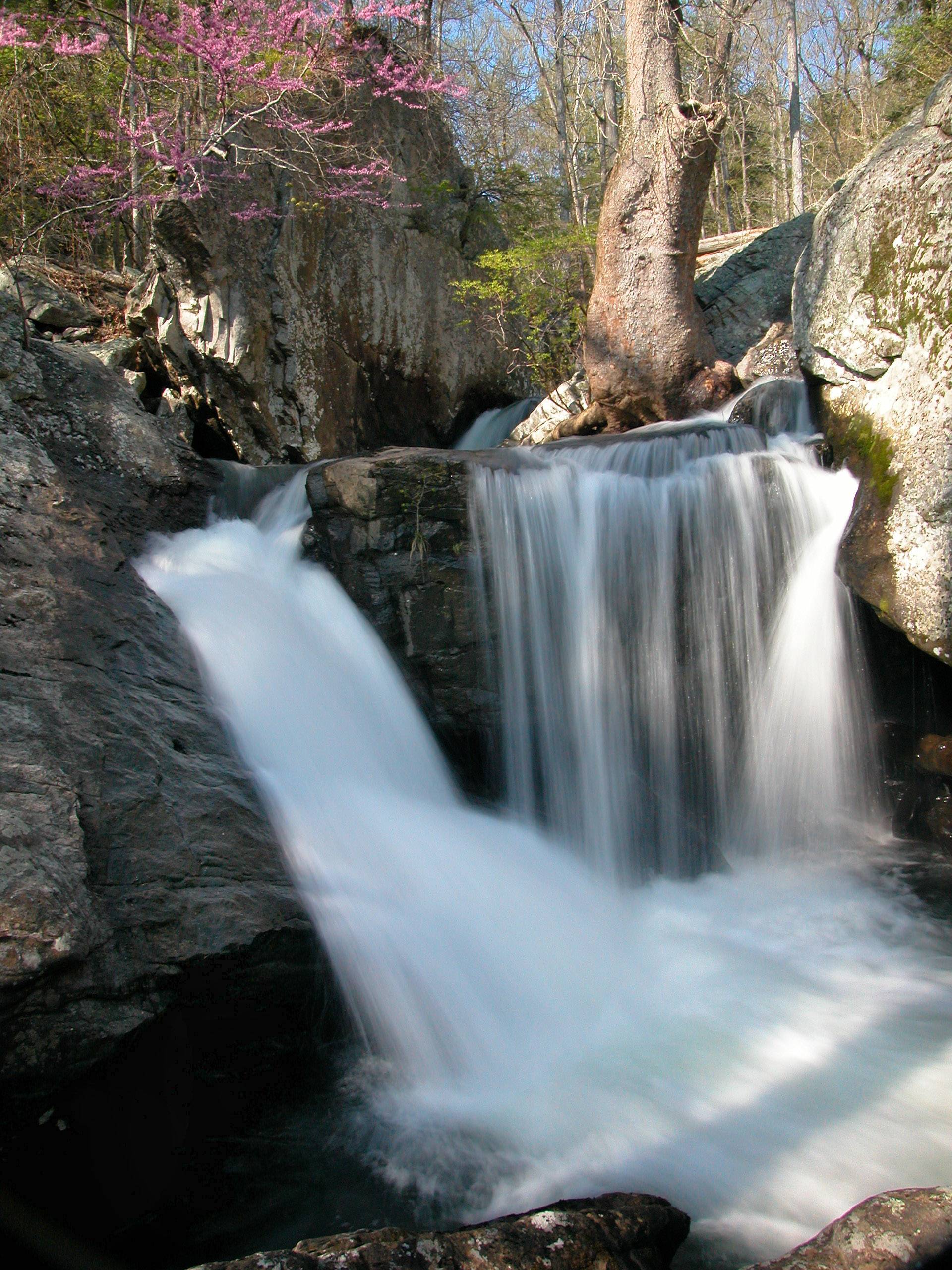
Waterfalls and Redbuds

Unnamed waterfall two seen along the old Dixie Highway
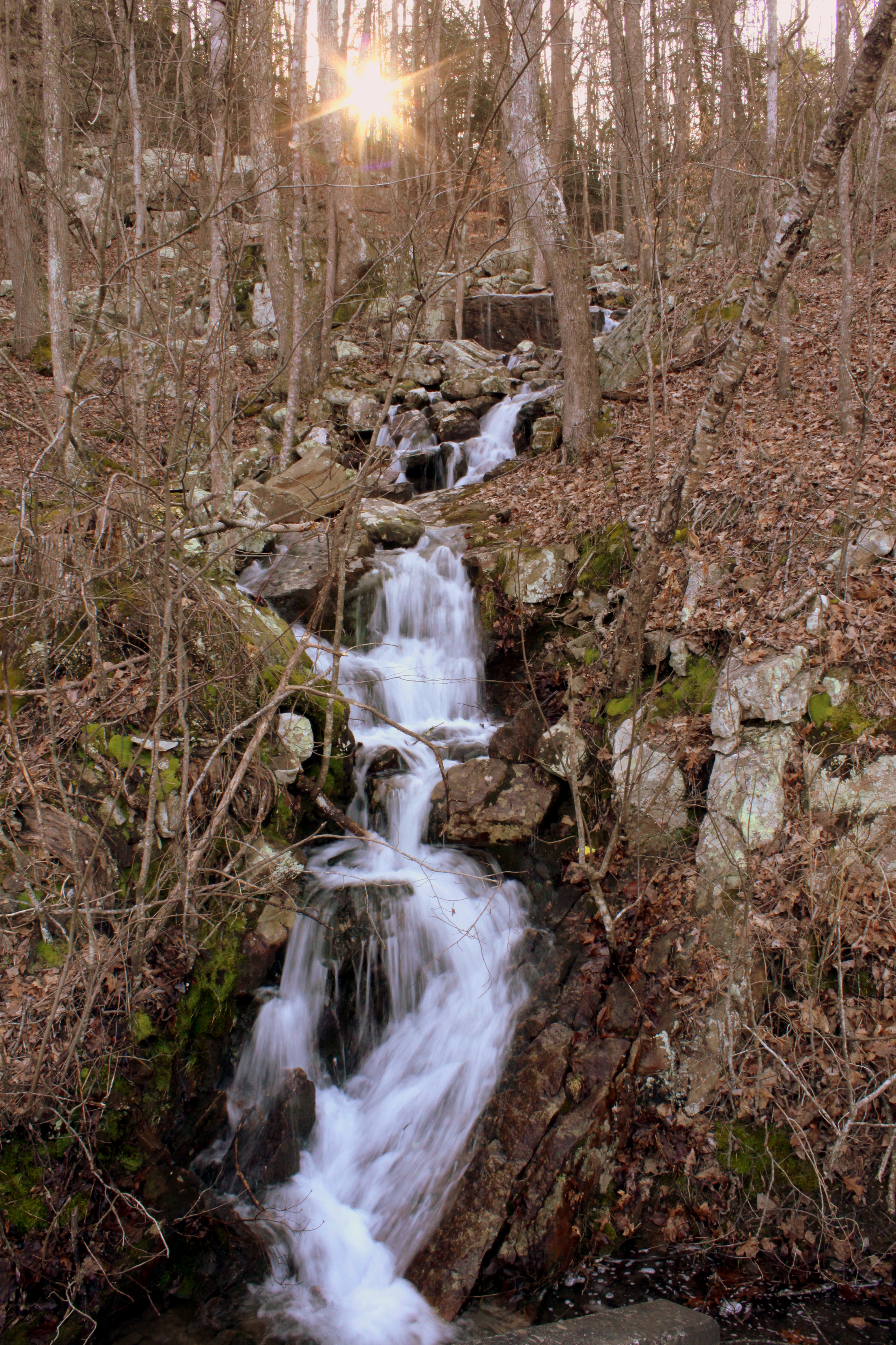
Unnamed waterfall one seen along the old Dixie Highway
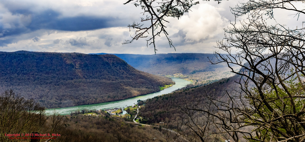
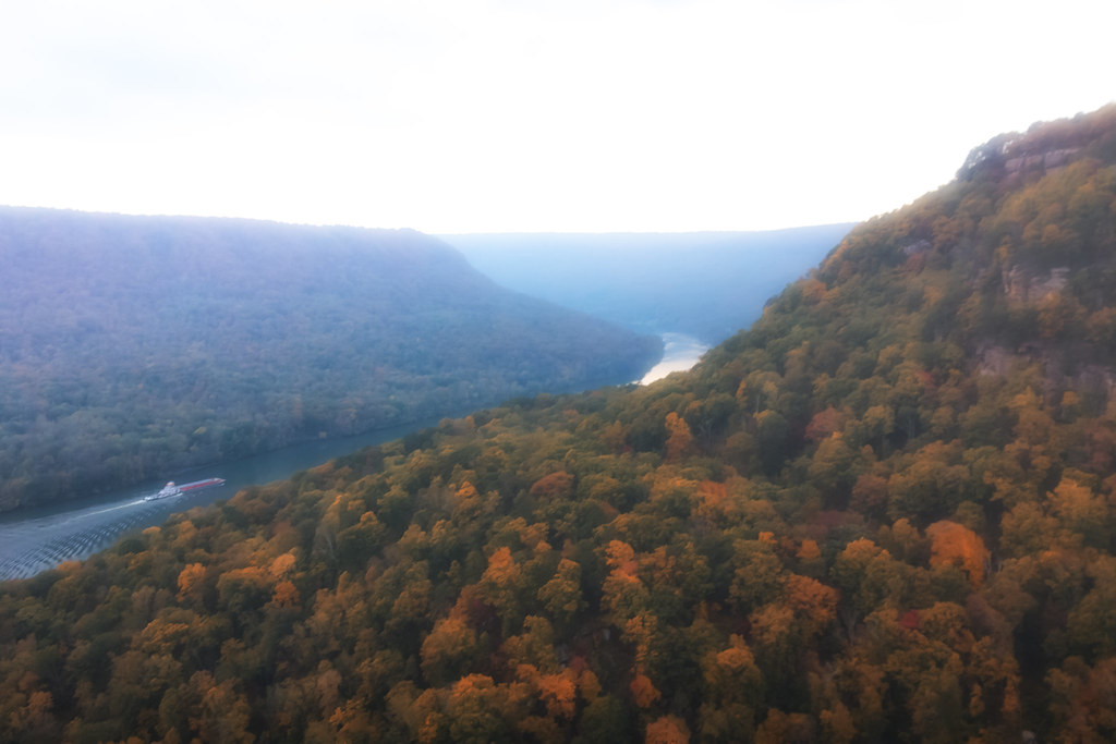
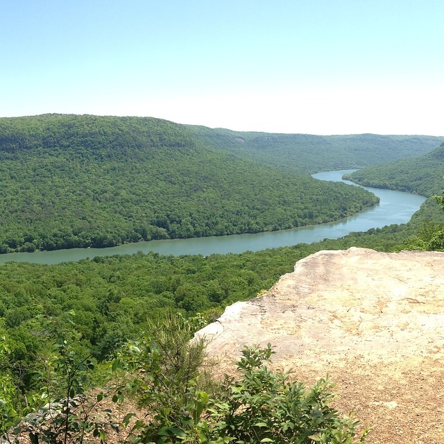
Last view of the Tennessee River
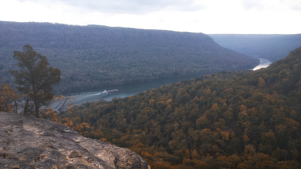
Lunch with a view

Foster Falls, TN

Foster Falls
Mapa de Whitwell, Tennessee, EE. UU.
Buscar otro lugar
lugares en Whitwell, Tennessee, EE. UU.
Tennessee 27, TN-27, Tennessee, EE. UU.
English Cove Road, English Cove Rd, Whitwell, TN, EE. UU.
Whitwell, Tennessee, EE. UU.
Lugares cercanos
English Cove Road, English Cove Rd, Whitwell, TN, EE. UU.
TN-, Whitwell, TN, EE. UU.
Powells Crossroads, Tennessee, EE. UU.
Grays Creek Rd, Whitwell, TN, EE. UU.
Whitwell, Tennessee, EE. UU.
Choctaw Trail, Chattanooga, TN, EE. UU.
Choctaw Trail, Chattanooga, TN, EE. UU.
W Valley Rd, Whitwell, TN, EE. UU.
Clear Brooks Dr, Signal Mountain, TN, EE. UU.
Daus Mountain Rd, Palmer, TN, EE. UU.
Clear Brooks Drive, Clear Brooks Dr, Tennessee, EE. UU.
Daus Mill Rd, Dunlap, TN, EE. UU.
Mossy Oak Drive, Mossy Oak Dr, Sequatchie, TN, EE. UU.
50 Wilderness Way, Dunlap, TN, EE. UU.
Farmington Ln, Dunlap, TN, EE. UU.
Palmer, Tennessee, EE. UU.
Deep Woods Dr, Dunlap, TN, EE. UU.
Hidden Ridge Loop, Dunlap, TN, EE. UU.
Browns Hollow Rd, Tracy City, TN, EE. UU.
Mountain Hollow Drive, Mountain Hollow Dr, Signal Mountain, TN, EE. UU.
Búsquedas recientes
- Horas de salida y puesta de sol de Red Dog Mine, AK, USA
- Horas de salida y puesta de sol de Am Bahnhof, Am bhf, Borken, Germany
- Horas de salida y puesta de sol de 4th St E, Sonoma, CA, EE. UU.
- Horas de salida y puesta de sol de Oakland Ave, Williamsport, PA, EE. UU.
- Horas de salida y puesta de sol de Via Roma, Pieranica CR, Italia
- Horas de salida y puesta de sol de Torre del reloj, Grad, Dubrovnik (Ragusa), Croacia
- Horas de salida y puesta de sol de Trelew, Chubut, Argentina
- Horas de salida y puesta de sol de Hartfords Bluff Cir, Mt Pleasant, SC, EE. UU.
- Horas de salida y puesta de sol de Kita Ward, Kumamoto, Japón
- Horas de salida y puesta de sol de Pingtan Island, Pingtan County, Fuzhou, China