Horas de salida y puesta de sol de W Valley Rd, Whitwell, TN, EE. UU.
Location: Estados Unidos > Tennessee > Condado de Sequatchie >
Zona horaria:
America/Chicago
Hora local:
2025-07-02 20:04:41
Longitud:
-85.444028
Latitud:
35.2989
Salida de sol de hoy:
05:31:55 AM
Puesta de sol de hoy:
08:00:25 PM
La duración del día hoy:
14h 28m 30s
Salida de sol de mañana:
05:32:25 AM
Puesta de sol de mañana:
08:00:16 PM
La duración del día mañana:
14h 27m 51s
Mostrar todas las fechas
| Fecha | Salida de sol | Puesta de sol | Duración del día |
|---|---|---|---|
| 01/01/2025 | 06:50:39 AM | 04:41:11 PM | 9h 50m 32s |
| 02/01/2025 | 06:50:46 AM | 04:41:59 PM | 9h 51m 13s |
| 03/01/2025 | 06:50:52 AM | 04:42:47 PM | 9h 51m 55s |
| 04/01/2025 | 06:50:56 AM | 04:43:37 PM | 9h 52m 41s |
| 05/01/2025 | 06:50:57 AM | 04:44:28 PM | 9h 53m 31s |
| 06/01/2025 | 06:50:57 AM | 04:45:20 PM | 9h 54m 23s |
| 07/01/2025 | 06:50:55 AM | 04:46:13 PM | 9h 55m 18s |
| 08/01/2025 | 06:50:51 AM | 04:47:07 PM | 9h 56m 16s |
| 09/01/2025 | 06:50:45 AM | 04:48:01 PM | 9h 57m 16s |
| 10/01/2025 | 06:50:37 AM | 04:48:57 PM | 9h 58m 20s |
| 11/01/2025 | 06:50:27 AM | 04:49:53 PM | 9h 59m 26s |
| 12/01/2025 | 06:50:15 AM | 04:50:50 PM | 10h 0m 35s |
| 13/01/2025 | 06:50:02 AM | 04:51:47 PM | 10h 1m 45s |
| 14/01/2025 | 06:49:46 AM | 04:52:45 PM | 10h 2m 59s |
| 15/01/2025 | 06:49:28 AM | 04:53:44 PM | 10h 4m 16s |
| 16/01/2025 | 06:49:09 AM | 04:54:43 PM | 10h 5m 34s |
| 17/01/2025 | 06:48:48 AM | 04:55:42 PM | 10h 6m 54s |
| 18/01/2025 | 06:48:25 AM | 04:56:42 PM | 10h 8m 17s |
| 19/01/2025 | 06:48:00 AM | 04:57:42 PM | 10h 9m 42s |
| 20/01/2025 | 06:47:33 AM | 04:58:43 PM | 10h 11m 10s |
| 21/01/2025 | 06:47:04 AM | 04:59:44 PM | 10h 12m 40s |
| 22/01/2025 | 06:46:34 AM | 05:00:45 PM | 10h 14m 11s |
| 23/01/2025 | 06:46:02 AM | 05:01:46 PM | 10h 15m 44s |
| 24/01/2025 | 06:45:28 AM | 05:02:47 PM | 10h 17m 19s |
| 25/01/2025 | 06:44:52 AM | 05:03:49 PM | 10h 18m 57s |
| 26/01/2025 | 06:44:15 AM | 05:04:51 PM | 10h 20m 36s |
| 27/01/2025 | 06:43:36 AM | 05:05:52 PM | 10h 22m 16s |
| 28/01/2025 | 06:42:55 AM | 05:06:54 PM | 10h 23m 59s |
| 29/01/2025 | 06:42:13 AM | 05:07:56 PM | 10h 25m 43s |
| 30/01/2025 | 06:41:29 AM | 05:08:58 PM | 10h 27m 29s |
| 31/01/2025 | 06:40:43 AM | 05:09:59 PM | 10h 29m 16s |
| 01/02/2025 | 06:39:56 AM | 05:11:01 PM | 10h 31m 5s |
| 02/02/2025 | 06:39:08 AM | 05:12:02 PM | 10h 32m 54s |
| 03/02/2025 | 06:38:17 AM | 05:13:04 PM | 10h 34m 47s |
| 04/02/2025 | 06:37:26 AM | 05:14:05 PM | 10h 36m 39s |
| 05/02/2025 | 06:36:33 AM | 05:15:06 PM | 10h 38m 33s |
| 06/02/2025 | 06:35:39 AM | 05:16:07 PM | 10h 40m 28s |
| 07/02/2025 | 06:34:43 AM | 05:17:07 PM | 10h 42m 24s |
| 08/02/2025 | 06:33:46 AM | 05:18:08 PM | 10h 44m 22s |
| 09/02/2025 | 06:32:48 AM | 05:19:08 PM | 10h 46m 20s |
| 10/02/2025 | 06:31:48 AM | 05:20:08 PM | 10h 48m 20s |
| 11/02/2025 | 06:30:47 AM | 05:21:07 PM | 10h 50m 20s |
| 12/02/2025 | 06:29:45 AM | 05:22:07 PM | 10h 52m 22s |
| 13/02/2025 | 06:28:42 AM | 05:23:06 PM | 10h 54m 24s |
| 14/02/2025 | 06:27:37 AM | 05:24:04 PM | 10h 56m 27s |
| 15/02/2025 | 06:26:32 AM | 05:25:03 PM | 10h 58m 31s |
| 16/02/2025 | 06:25:25 AM | 05:26:01 PM | 11h 0m 36s |
| 17/02/2025 | 06:24:17 AM | 05:26:59 PM | 11h 2m 42s |
| 18/02/2025 | 06:23:09 AM | 05:27:56 PM | 11h 4m 47s |
| 19/02/2025 | 06:21:59 AM | 05:28:53 PM | 11h 6m 54s |
| 20/02/2025 | 06:20:48 AM | 05:29:50 PM | 11h 9m 2s |
| 21/02/2025 | 06:19:36 AM | 05:30:46 PM | 11h 11m 10s |
| 22/02/2025 | 06:18:24 AM | 05:31:42 PM | 11h 13m 18s |
| 23/02/2025 | 06:17:11 AM | 05:32:38 PM | 11h 15m 27s |
| 24/02/2025 | 06:15:56 AM | 05:33:34 PM | 11h 17m 38s |
| 25/02/2025 | 06:14:41 AM | 05:34:29 PM | 11h 19m 48s |
| 26/02/2025 | 06:13:26 AM | 05:35:23 PM | 11h 21m 57s |
| 27/02/2025 | 06:12:09 AM | 05:36:18 PM | 11h 24m 9s |
| 28/02/2025 | 06:10:52 AM | 05:37:12 PM | 11h 26m 20s |
| 01/03/2025 | 06:09:34 AM | 05:38:06 PM | 11h 28m 32s |
| 02/03/2025 | 06:08:15 AM | 05:38:59 PM | 11h 30m 44s |
| 03/03/2025 | 06:06:56 AM | 05:39:52 PM | 11h 32m 56s |
| 04/03/2025 | 06:05:36 AM | 05:40:45 PM | 11h 35m 9s |
| 05/03/2025 | 06:04:16 AM | 05:41:38 PM | 11h 37m 22s |
| 06/03/2025 | 06:02:55 AM | 05:42:30 PM | 11h 39m 35s |
| 07/03/2025 | 06:01:34 AM | 05:43:22 PM | 11h 41m 48s |
| 08/03/2025 | 06:00:12 AM | 05:44:14 PM | 11h 44m 2s |
| 09/03/2025 | 06:58:53 AM | 06:45:03 PM | 11h 46m 10s |
| 10/03/2025 | 06:57:31 AM | 06:45:54 PM | 11h 48m 23s |
| 11/03/2025 | 06:56:08 AM | 06:46:45 PM | 11h 50m 37s |
| 12/03/2025 | 06:54:44 AM | 06:47:36 PM | 11h 52m 52s |
| 13/03/2025 | 06:53:21 AM | 06:48:27 PM | 11h 55m 6s |
| 14/03/2025 | 06:51:57 AM | 06:49:17 PM | 11h 57m 20s |
| 15/03/2025 | 06:50:33 AM | 06:50:07 PM | 11h 59m 34s |
| 16/03/2025 | 06:49:08 AM | 06:50:57 PM | 12h 1m 49s |
| 17/03/2025 | 06:47:44 AM | 06:51:47 PM | 12h 4m 3s |
| 18/03/2025 | 06:46:19 AM | 06:52:36 PM | 12h 6m 17s |
| 19/03/2025 | 06:44:54 AM | 06:53:26 PM | 12h 8m 32s |
| 20/03/2025 | 06:43:29 AM | 06:54:15 PM | 12h 10m 46s |
| 21/03/2025 | 06:42:04 AM | 06:55:04 PM | 12h 13m 0s |
| 22/03/2025 | 06:40:39 AM | 06:55:53 PM | 12h 15m 14s |
| 23/03/2025 | 06:39:14 AM | 06:56:42 PM | 12h 17m 28s |
| 24/03/2025 | 06:37:49 AM | 06:57:31 PM | 12h 19m 42s |
| 25/03/2025 | 06:36:24 AM | 06:58:20 PM | 12h 21m 56s |
| 26/03/2025 | 06:34:59 AM | 06:59:09 PM | 12h 24m 10s |
| 27/03/2025 | 06:33:34 AM | 06:59:57 PM | 12h 26m 23s |
| 28/03/2025 | 06:32:10 AM | 07:00:46 PM | 12h 28m 36s |
| 29/03/2025 | 06:30:45 AM | 07:01:35 PM | 12h 30m 50s |
| 30/03/2025 | 06:29:21 AM | 07:02:23 PM | 12h 33m 2s |
| 31/03/2025 | 06:27:57 AM | 07:03:12 PM | 12h 35m 15s |
| 01/04/2025 | 06:26:33 AM | 07:04:00 PM | 12h 37m 27s |
| 02/04/2025 | 06:25:09 AM | 07:04:48 PM | 12h 39m 39s |
| 03/04/2025 | 06:23:46 AM | 07:05:37 PM | 12h 41m 51s |
| 04/04/2025 | 06:22:23 AM | 07:06:25 PM | 12h 44m 2s |
| 05/04/2025 | 06:21:01 AM | 07:07:14 PM | 12h 46m 13s |
| 06/04/2025 | 06:19:38 AM | 07:08:02 PM | 12h 48m 24s |
| 07/04/2025 | 06:18:17 AM | 07:08:51 PM | 12h 50m 34s |
| 08/04/2025 | 06:16:55 AM | 07:09:40 PM | 12h 52m 45s |
| 09/04/2025 | 06:15:35 AM | 07:10:28 PM | 12h 54m 53s |
| 10/04/2025 | 06:14:14 AM | 07:11:17 PM | 12h 57m 3s |
| 11/04/2025 | 06:12:55 AM | 07:12:06 PM | 12h 59m 11s |
| 12/04/2025 | 06:11:35 AM | 07:12:54 PM | 13h 1m 19s |
| 13/04/2025 | 06:10:17 AM | 07:13:43 PM | 13h 3m 26s |
| 14/04/2025 | 06:08:59 AM | 07:14:32 PM | 13h 5m 33s |
| 15/04/2025 | 06:07:42 AM | 07:15:21 PM | 13h 7m 39s |
| 16/04/2025 | 06:06:25 AM | 07:16:10 PM | 13h 9m 45s |
| 17/04/2025 | 06:05:09 AM | 07:16:59 PM | 13h 11m 50s |
| 18/04/2025 | 06:03:54 AM | 07:17:48 PM | 13h 13m 54s |
| 19/04/2025 | 06:02:40 AM | 07:18:37 PM | 13h 15m 57s |
| 20/04/2025 | 06:01:26 AM | 07:19:27 PM | 13h 18m 1s |
| 21/04/2025 | 06:00:13 AM | 07:20:16 PM | 13h 20m 3s |
| 22/04/2025 | 05:59:01 AM | 07:21:05 PM | 13h 22m 4s |
| 23/04/2025 | 05:57:50 AM | 07:21:55 PM | 13h 24m 5s |
| 24/04/2025 | 05:56:40 AM | 07:22:44 PM | 13h 26m 4s |
| 25/04/2025 | 05:55:31 AM | 07:23:34 PM | 13h 28m 3s |
| 26/04/2025 | 05:54:23 AM | 07:24:23 PM | 13h 30m 0s |
| 27/04/2025 | 05:53:16 AM | 07:25:13 PM | 13h 31m 57s |
| 28/04/2025 | 05:52:10 AM | 07:26:02 PM | 13h 33m 52s |
| 29/04/2025 | 05:51:05 AM | 07:26:52 PM | 13h 35m 47s |
| 30/04/2025 | 05:50:01 AM | 07:27:41 PM | 13h 37m 40s |
| 01/05/2025 | 05:48:58 AM | 07:28:31 PM | 13h 39m 33s |
| 02/05/2025 | 05:47:56 AM | 07:29:20 PM | 13h 41m 24s |
| 03/05/2025 | 05:46:55 AM | 07:30:10 PM | 13h 43m 15s |
| 04/05/2025 | 05:45:56 AM | 07:30:59 PM | 13h 45m 3s |
| 05/05/2025 | 05:44:58 AM | 07:31:48 PM | 13h 46m 50s |
| 06/05/2025 | 05:44:01 AM | 07:32:37 PM | 13h 48m 36s |
| 07/05/2025 | 05:43:05 AM | 07:33:26 PM | 13h 50m 21s |
| 08/05/2025 | 05:42:11 AM | 07:34:15 PM | 13h 52m 4s |
| 09/05/2025 | 05:41:18 AM | 07:35:04 PM | 13h 53m 46s |
| 10/05/2025 | 05:40:26 AM | 07:35:52 PM | 13h 55m 26s |
| 11/05/2025 | 05:39:36 AM | 07:36:40 PM | 13h 57m 4s |
| 12/05/2025 | 05:38:47 AM | 07:37:28 PM | 13h 58m 41s |
| 13/05/2025 | 05:37:59 AM | 07:38:16 PM | 14h 0m 17s |
| 14/05/2025 | 05:37:13 AM | 07:39:03 PM | 14h 1m 50s |
| 15/05/2025 | 05:36:28 AM | 07:39:50 PM | 14h 3m 22s |
| 16/05/2025 | 05:35:45 AM | 07:40:37 PM | 14h 4m 52s |
| 17/05/2025 | 05:35:03 AM | 07:41:23 PM | 14h 6m 20s |
| 18/05/2025 | 05:34:23 AM | 07:42:09 PM | 14h 7m 46s |
| 19/05/2025 | 05:33:45 AM | 07:42:55 PM | 14h 9m 10s |
| 20/05/2025 | 05:33:07 AM | 07:43:40 PM | 14h 10m 33s |
| 21/05/2025 | 05:32:32 AM | 07:44:25 PM | 14h 11m 53s |
| 22/05/2025 | 05:31:58 AM | 07:45:09 PM | 14h 13m 11s |
| 23/05/2025 | 05:31:25 AM | 07:45:52 PM | 14h 14m 27s |
| 24/05/2025 | 05:30:55 AM | 07:46:35 PM | 14h 15m 40s |
| 25/05/2025 | 05:30:25 AM | 07:47:17 PM | 14h 16m 52s |
| 26/05/2025 | 05:29:58 AM | 07:47:58 PM | 14h 18m 0s |
| 27/05/2025 | 05:29:32 AM | 07:48:39 PM | 14h 19m 7s |
| 28/05/2025 | 05:29:08 AM | 07:49:19 PM | 14h 20m 11s |
| 29/05/2025 | 05:28:45 AM | 07:49:59 PM | 14h 21m 14s |
| 30/05/2025 | 05:28:24 AM | 07:50:37 PM | 14h 22m 13s |
| 31/05/2025 | 05:28:05 AM | 07:51:15 PM | 14h 23m 10s |
| 01/06/2025 | 05:27:47 AM | 07:51:51 PM | 14h 24m 4s |
| 02/06/2025 | 05:27:31 AM | 07:52:27 PM | 14h 24m 56s |
| 03/06/2025 | 05:27:17 AM | 07:53:02 PM | 14h 25m 45s |
| 04/06/2025 | 05:27:04 AM | 07:53:36 PM | 14h 26m 32s |
| 05/06/2025 | 05:26:53 AM | 07:54:09 PM | 14h 27m 16s |
| 06/06/2025 | 05:26:44 AM | 07:54:40 PM | 14h 27m 56s |
| 07/06/2025 | 05:26:36 AM | 07:55:11 PM | 14h 28m 35s |
| 08/06/2025 | 05:26:30 AM | 07:55:41 PM | 14h 29m 11s |
| 09/06/2025 | 05:26:26 AM | 07:56:09 PM | 14h 29m 43s |
| 10/06/2025 | 05:26:23 AM | 07:56:36 PM | 14h 30m 13s |
| 11/06/2025 | 05:26:22 AM | 07:57:02 PM | 14h 30m 40s |
| 12/06/2025 | 05:26:22 AM | 07:57:26 PM | 14h 31m 4s |
| 13/06/2025 | 05:26:25 AM | 07:57:50 PM | 14h 31m 25s |
| 14/06/2025 | 05:26:28 AM | 07:58:12 PM | 14h 31m 44s |
| 15/06/2025 | 05:26:34 AM | 07:58:32 PM | 14h 31m 58s |
| 16/06/2025 | 05:26:40 AM | 07:58:51 PM | 14h 32m 11s |
| 17/06/2025 | 05:26:49 AM | 07:59:09 PM | 14h 32m 20s |
| 18/06/2025 | 05:26:59 AM | 07:59:25 PM | 14h 32m 26s |
| 19/06/2025 | 05:27:10 AM | 07:59:40 PM | 14h 32m 30s |
| 20/06/2025 | 05:27:23 AM | 07:59:53 PM | 14h 32m 30s |
| 21/06/2025 | 05:27:37 AM | 08:00:05 PM | 14h 32m 28s |
| 22/06/2025 | 05:27:53 AM | 08:00:15 PM | 14h 32m 22s |
| 23/06/2025 | 05:28:10 AM | 08:00:24 PM | 14h 32m 14s |
| 24/06/2025 | 05:28:28 AM | 08:00:31 PM | 14h 32m 3s |
| 25/06/2025 | 05:28:48 AM | 08:00:37 PM | 14h 31m 49s |
| 26/06/2025 | 05:29:09 AM | 08:00:40 PM | 14h 31m 31s |
| 27/06/2025 | 05:29:32 AM | 08:00:43 PM | 14h 31m 11s |
| 28/06/2025 | 05:29:55 AM | 08:00:43 PM | 14h 30m 48s |
| 29/06/2025 | 05:30:20 AM | 08:00:42 PM | 14h 30m 22s |
| 30/06/2025 | 05:30:46 AM | 08:00:39 PM | 14h 29m 53s |
| 01/07/2025 | 05:31:13 AM | 08:00:35 PM | 14h 29m 22s |
| 02/07/2025 | 05:31:42 AM | 08:00:29 PM | 14h 28m 47s |
| 03/07/2025 | 05:32:11 AM | 08:00:21 PM | 14h 28m 10s |
| 04/07/2025 | 05:32:41 AM | 08:00:11 PM | 14h 27m 30s |
| 05/07/2025 | 05:33:13 AM | 08:00:00 PM | 14h 26m 47s |
| 06/07/2025 | 05:33:45 AM | 07:59:47 PM | 14h 26m 2s |
| 07/07/2025 | 05:34:19 AM | 07:59:32 PM | 14h 25m 13s |
| 08/07/2025 | 05:34:53 AM | 07:59:16 PM | 14h 24m 23s |
| 09/07/2025 | 05:35:28 AM | 07:58:58 PM | 14h 23m 30s |
| 10/07/2025 | 05:36:04 AM | 07:58:38 PM | 14h 22m 34s |
| 11/07/2025 | 05:36:40 AM | 07:58:16 PM | 14h 21m 36s |
| 12/07/2025 | 05:37:18 AM | 07:57:53 PM | 14h 20m 35s |
| 13/07/2025 | 05:37:56 AM | 07:57:28 PM | 14h 19m 32s |
| 14/07/2025 | 05:38:35 AM | 07:57:01 PM | 14h 18m 26s |
| 15/07/2025 | 05:39:14 AM | 07:56:33 PM | 14h 17m 19s |
| 16/07/2025 | 05:39:55 AM | 07:56:03 PM | 14h 16m 8s |
| 17/07/2025 | 05:40:35 AM | 07:55:32 PM | 14h 14m 57s |
| 18/07/2025 | 05:41:17 AM | 07:54:59 PM | 14h 13m 42s |
| 19/07/2025 | 05:41:58 AM | 07:54:24 PM | 14h 12m 26s |
| 20/07/2025 | 05:42:41 AM | 07:53:47 PM | 14h 11m 6s |
| 21/07/2025 | 05:43:23 AM | 07:53:09 PM | 14h 9m 46s |
| 22/07/2025 | 05:44:06 AM | 07:52:30 PM | 14h 8m 24s |
| 23/07/2025 | 05:44:50 AM | 07:51:49 PM | 14h 6m 59s |
| 24/07/2025 | 05:45:34 AM | 07:51:06 PM | 14h 5m 32s |
| 25/07/2025 | 05:46:18 AM | 07:50:22 PM | 14h 4m 4s |
| 26/07/2025 | 05:47:02 AM | 07:49:36 PM | 14h 2m 34s |
| 27/07/2025 | 05:47:47 AM | 07:48:49 PM | 14h 1m 2s |
| 28/07/2025 | 05:48:32 AM | 07:48:00 PM | 13h 59m 28s |
| 29/07/2025 | 05:49:17 AM | 07:47:10 PM | 13h 57m 53s |
| 30/07/2025 | 05:50:03 AM | 07:46:19 PM | 13h 56m 16s |
| 31/07/2025 | 05:50:48 AM | 07:45:26 PM | 13h 54m 38s |
| 01/08/2025 | 05:51:34 AM | 07:44:32 PM | 13h 52m 58s |
| 02/08/2025 | 05:52:20 AM | 07:43:36 PM | 13h 51m 16s |
| 03/08/2025 | 05:53:05 AM | 07:42:39 PM | 13h 49m 34s |
| 04/08/2025 | 05:53:51 AM | 07:41:41 PM | 13h 47m 50s |
| 05/08/2025 | 05:54:38 AM | 07:40:42 PM | 13h 46m 4s |
| 06/08/2025 | 05:55:24 AM | 07:39:41 PM | 13h 44m 17s |
| 07/08/2025 | 05:56:10 AM | 07:38:39 PM | 13h 42m 29s |
| 08/08/2025 | 05:56:56 AM | 07:37:36 PM | 13h 40m 40s |
| 09/08/2025 | 05:57:42 AM | 07:36:32 PM | 13h 38m 50s |
| 10/08/2025 | 05:58:28 AM | 07:35:27 PM | 13h 36m 59s |
| 11/08/2025 | 05:59:14 AM | 07:34:20 PM | 13h 35m 6s |
| 12/08/2025 | 06:00:01 AM | 07:33:13 PM | 13h 33m 12s |
| 13/08/2025 | 06:00:47 AM | 07:32:04 PM | 13h 31m 17s |
| 14/08/2025 | 06:01:33 AM | 07:30:55 PM | 13h 29m 22s |
| 15/08/2025 | 06:02:19 AM | 07:29:44 PM | 13h 27m 25s |
| 16/08/2025 | 06:03:04 AM | 07:28:33 PM | 13h 25m 29s |
| 17/08/2025 | 06:03:50 AM | 07:27:20 PM | 13h 23m 30s |
| 18/08/2025 | 06:04:36 AM | 07:26:07 PM | 13h 21m 31s |
| 19/08/2025 | 06:05:22 AM | 07:24:53 PM | 13h 19m 31s |
| 20/08/2025 | 06:06:07 AM | 07:23:37 PM | 13h 17m 30s |
| 21/08/2025 | 06:06:53 AM | 07:22:22 PM | 13h 15m 29s |
| 22/08/2025 | 06:07:38 AM | 07:21:05 PM | 13h 13m 27s |
| 23/08/2025 | 06:08:23 AM | 07:19:47 PM | 13h 11m 24s |
| 24/08/2025 | 06:09:08 AM | 07:18:29 PM | 13h 9m 21s |
| 25/08/2025 | 06:09:54 AM | 07:17:10 PM | 13h 7m 16s |
| 26/08/2025 | 06:10:38 AM | 07:15:51 PM | 13h 5m 13s |
| 27/08/2025 | 06:11:23 AM | 07:14:30 PM | 13h 3m 7s |
| 28/08/2025 | 06:12:08 AM | 07:13:09 PM | 13h 1m 1s |
| 29/08/2025 | 06:12:53 AM | 07:11:48 PM | 12h 58m 55s |
| 30/08/2025 | 06:13:38 AM | 07:10:26 PM | 12h 56m 48s |
| 31/08/2025 | 06:14:22 AM | 07:09:03 PM | 12h 54m 41s |
| 01/09/2025 | 06:15:07 AM | 07:07:40 PM | 12h 52m 33s |
| 02/09/2025 | 06:15:51 AM | 07:06:17 PM | 12h 50m 26s |
| 03/09/2025 | 06:16:35 AM | 07:04:53 PM | 12h 48m 18s |
| 04/09/2025 | 06:17:20 AM | 07:03:28 PM | 12h 46m 8s |
| 05/09/2025 | 06:18:04 AM | 07:02:03 PM | 12h 43m 59s |
| 06/09/2025 | 06:18:48 AM | 07:00:38 PM | 12h 41m 50s |
| 07/09/2025 | 06:19:32 AM | 06:59:13 PM | 12h 39m 41s |
| 08/09/2025 | 06:20:17 AM | 06:57:47 PM | 12h 37m 30s |
| 09/09/2025 | 06:21:01 AM | 06:56:21 PM | 12h 35m 20s |
| 10/09/2025 | 06:21:45 AM | 06:54:54 PM | 12h 33m 9s |
| 11/09/2025 | 06:22:29 AM | 06:53:28 PM | 12h 30m 59s |
| 12/09/2025 | 06:23:13 AM | 06:52:01 PM | 12h 28m 48s |
| 13/09/2025 | 06:23:58 AM | 06:50:34 PM | 12h 26m 36s |
| 14/09/2025 | 06:24:42 AM | 06:49:07 PM | 12h 24m 25s |
| 15/09/2025 | 06:25:26 AM | 06:47:39 PM | 12h 22m 13s |
| 16/09/2025 | 06:26:11 AM | 06:46:12 PM | 12h 20m 1s |
| 17/09/2025 | 06:26:55 AM | 06:44:45 PM | 12h 17m 50s |
| 18/09/2025 | 06:27:40 AM | 06:43:17 PM | 12h 15m 37s |
| 19/09/2025 | 06:28:24 AM | 06:41:50 PM | 12h 13m 26s |
| 20/09/2025 | 06:29:09 AM | 06:40:23 PM | 12h 11m 14s |
| 21/09/2025 | 06:29:54 AM | 06:38:55 PM | 12h 9m 1s |
| 22/09/2025 | 06:30:39 AM | 06:37:28 PM | 12h 6m 49s |
| 23/09/2025 | 06:31:24 AM | 06:36:01 PM | 12h 4m 37s |
| 24/09/2025 | 06:32:10 AM | 06:34:34 PM | 12h 2m 24s |
| 25/09/2025 | 06:32:55 AM | 06:33:07 PM | 12h 0m 12s |
| 26/09/2025 | 06:33:41 AM | 06:31:41 PM | 11h 58m 0s |
| 27/09/2025 | 06:34:27 AM | 06:30:14 PM | 11h 55m 47s |
| 28/09/2025 | 06:35:13 AM | 06:28:48 PM | 11h 53m 35s |
| 29/09/2025 | 06:35:59 AM | 06:27:23 PM | 11h 51m 24s |
| 30/09/2025 | 06:36:46 AM | 06:25:57 PM | 11h 49m 11s |
| 01/10/2025 | 06:37:33 AM | 06:24:32 PM | 11h 46m 59s |
| 02/10/2025 | 06:38:20 AM | 06:23:08 PM | 11h 44m 48s |
| 03/10/2025 | 06:39:07 AM | 06:21:43 PM | 11h 42m 36s |
| 04/10/2025 | 06:39:55 AM | 06:20:19 PM | 11h 40m 24s |
| 05/10/2025 | 06:40:42 AM | 06:18:56 PM | 11h 38m 14s |
| 06/10/2025 | 06:41:31 AM | 06:17:33 PM | 11h 36m 2s |
| 07/10/2025 | 06:42:19 AM | 06:16:11 PM | 11h 33m 52s |
| 08/10/2025 | 06:43:08 AM | 06:14:49 PM | 11h 31m 41s |
| 09/10/2025 | 06:43:57 AM | 06:13:28 PM | 11h 29m 31s |
| 10/10/2025 | 06:44:46 AM | 06:12:08 PM | 11h 27m 22s |
| 11/10/2025 | 06:45:36 AM | 06:10:48 PM | 11h 25m 12s |
| 12/10/2025 | 06:46:26 AM | 06:09:29 PM | 11h 23m 3s |
| 13/10/2025 | 06:47:16 AM | 06:08:10 PM | 11h 20m 54s |
| 14/10/2025 | 06:48:07 AM | 06:06:52 PM | 11h 18m 45s |
| 15/10/2025 | 06:48:58 AM | 06:05:35 PM | 11h 16m 37s |
| 16/10/2025 | 06:49:50 AM | 06:04:19 PM | 11h 14m 29s |
| 17/10/2025 | 06:50:42 AM | 06:03:04 PM | 11h 12m 22s |
| 18/10/2025 | 06:51:34 AM | 06:01:50 PM | 11h 10m 16s |
| 19/10/2025 | 06:52:26 AM | 06:00:36 PM | 11h 8m 10s |
| 20/10/2025 | 06:53:19 AM | 05:59:24 PM | 11h 6m 5s |
| 21/10/2025 | 06:54:13 AM | 05:58:12 PM | 11h 3m 59s |
| 22/10/2025 | 06:55:06 AM | 05:57:01 PM | 11h 1m 55s |
| 23/10/2025 | 06:56:00 AM | 05:55:52 PM | 10h 59m 52s |
| 24/10/2025 | 06:56:55 AM | 05:54:43 PM | 10h 57m 48s |
| 25/10/2025 | 06:57:49 AM | 05:53:36 PM | 10h 55m 47s |
| 26/10/2025 | 06:58:44 AM | 05:52:30 PM | 10h 53m 46s |
| 27/10/2025 | 06:59:40 AM | 05:51:25 PM | 10h 51m 45s |
| 28/10/2025 | 07:00:36 AM | 05:50:21 PM | 10h 49m 45s |
| 29/10/2025 | 07:01:32 AM | 05:49:18 PM | 10h 47m 46s |
| 30/10/2025 | 07:02:28 AM | 05:48:17 PM | 10h 45m 49s |
| 31/10/2025 | 07:03:25 AM | 05:47:17 PM | 10h 43m 52s |
| 01/11/2025 | 07:04:22 AM | 05:46:18 PM | 10h 41m 56s |
| 02/11/2025 | 06:05:21 AM | 04:45:18 PM | 10h 39m 57s |
| 03/11/2025 | 06:06:19 AM | 04:44:22 PM | 10h 38m 3s |
| 04/11/2025 | 06:07:17 AM | 04:43:27 PM | 10h 36m 10s |
| 05/11/2025 | 06:08:15 AM | 04:42:34 PM | 10h 34m 19s |
| 06/11/2025 | 06:09:13 AM | 04:41:42 PM | 10h 32m 29s |
| 07/11/2025 | 06:10:11 AM | 04:40:52 PM | 10h 30m 41s |
| 08/11/2025 | 06:11:10 AM | 04:40:03 PM | 10h 28m 53s |
| 09/11/2025 | 06:12:08 AM | 04:39:16 PM | 10h 27m 8s |
| 10/11/2025 | 06:13:07 AM | 04:38:31 PM | 10h 25m 24s |
| 11/11/2025 | 06:14:06 AM | 04:37:47 PM | 10h 23m 41s |
| 12/11/2025 | 06:15:05 AM | 04:37:04 PM | 10h 21m 59s |
| 13/11/2025 | 06:16:04 AM | 04:36:24 PM | 10h 20m 20s |
| 14/11/2025 | 06:17:03 AM | 04:35:45 PM | 10h 18m 42s |
| 15/11/2025 | 06:18:01 AM | 04:35:08 PM | 10h 17m 7s |
| 16/11/2025 | 06:19:00 AM | 04:34:32 PM | 10h 15m 32s |
| 17/11/2025 | 06:19:59 AM | 04:33:58 PM | 10h 13m 59s |
| 18/11/2025 | 06:20:58 AM | 04:33:27 PM | 10h 12m 29s |
| 19/11/2025 | 06:21:56 AM | 04:32:56 PM | 10h 11m 0s |
| 20/11/2025 | 06:22:54 AM | 04:32:28 PM | 10h 9m 34s |
| 21/11/2025 | 06:23:52 AM | 04:32:02 PM | 10h 8m 10s |
| 22/11/2025 | 06:24:50 AM | 04:31:37 PM | 10h 6m 47s |
| 23/11/2025 | 06:25:47 AM | 04:31:15 PM | 10h 5m 28s |
| 24/11/2025 | 06:26:44 AM | 04:30:54 PM | 10h 4m 10s |
| 25/11/2025 | 06:27:40 AM | 04:30:35 PM | 10h 2m 55s |
| 26/11/2025 | 06:28:37 AM | 04:30:18 PM | 10h 1m 41s |
| 27/11/2025 | 06:29:32 AM | 04:30:03 PM | 10h 0m 31s |
| 28/11/2025 | 06:30:27 AM | 04:29:50 PM | 9h 59m 23s |
| 29/11/2025 | 06:31:21 AM | 04:29:39 PM | 9h 58m 18s |
| 30/11/2025 | 06:32:15 AM | 04:29:30 PM | 9h 57m 15s |
| 01/12/2025 | 06:33:08 AM | 04:29:23 PM | 9h 56m 15s |
| 02/12/2025 | 06:34:01 AM | 04:29:17 PM | 9h 55m 16s |
| 03/12/2025 | 06:34:52 AM | 04:29:14 PM | 9h 54m 22s |
| 04/12/2025 | 06:35:43 AM | 04:29:13 PM | 9h 53m 30s |
| 05/12/2025 | 06:36:32 AM | 04:29:14 PM | 9h 52m 42s |
| 06/12/2025 | 06:37:21 AM | 04:29:16 PM | 9h 51m 55s |
| 07/12/2025 | 06:38:09 AM | 04:29:21 PM | 9h 51m 12s |
| 08/12/2025 | 06:38:56 AM | 04:29:28 PM | 9h 50m 32s |
| 09/12/2025 | 06:39:42 AM | 04:29:36 PM | 9h 49m 54s |
| 10/12/2025 | 06:40:26 AM | 04:29:47 PM | 9h 49m 21s |
| 11/12/2025 | 06:41:10 AM | 04:29:59 PM | 9h 48m 49s |
| 12/12/2025 | 06:41:52 AM | 04:30:14 PM | 9h 48m 22s |
| 13/12/2025 | 06:42:33 AM | 04:30:30 PM | 9h 47m 57s |
| 14/12/2025 | 06:43:12 AM | 04:30:48 PM | 9h 47m 36s |
| 15/12/2025 | 06:43:50 AM | 04:31:08 PM | 9h 47m 18s |
| 16/12/2025 | 06:44:27 AM | 04:31:30 PM | 9h 47m 3s |
| 17/12/2025 | 06:45:03 AM | 04:31:53 PM | 9h 46m 50s |
| 18/12/2025 | 06:45:37 AM | 04:32:18 PM | 9h 46m 41s |
| 19/12/2025 | 06:46:09 AM | 04:32:45 PM | 9h 46m 36s |
| 20/12/2025 | 06:46:40 AM | 04:33:14 PM | 9h 46m 34s |
| 21/12/2025 | 06:47:09 AM | 04:33:45 PM | 9h 46m 36s |
| 22/12/2025 | 06:47:37 AM | 04:34:17 PM | 9h 46m 40s |
| 23/12/2025 | 06:48:03 AM | 04:34:50 PM | 9h 46m 47s |
| 24/12/2025 | 06:48:27 AM | 04:35:26 PM | 9h 46m 59s |
| 25/12/2025 | 06:48:49 AM | 04:36:02 PM | 9h 47m 13s |
| 26/12/2025 | 06:49:10 AM | 04:36:41 PM | 9h 47m 31s |
| 27/12/2025 | 06:49:29 AM | 04:37:20 PM | 9h 47m 51s |
| 28/12/2025 | 06:49:46 AM | 04:38:02 PM | 9h 48m 16s |
| 29/12/2025 | 06:50:02 AM | 04:38:44 PM | 9h 48m 42s |
| 30/12/2025 | 06:50:15 AM | 04:39:28 PM | 9h 49m 13s |
| 31/12/2025 | 06:50:27 AM | 04:40:13 PM | 9h 49m 46s |
Fotos

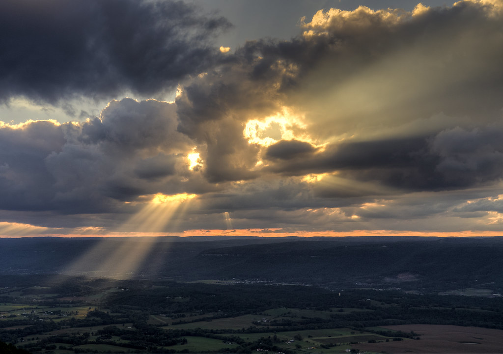
Sunset in Sequatchie Valley
Monster of Sequatchie Valley

Unnamed waterfall two seen along the old Dixie Highway

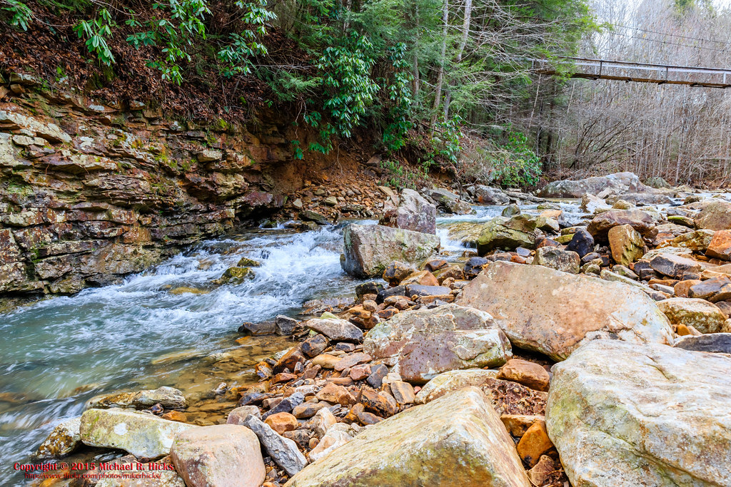
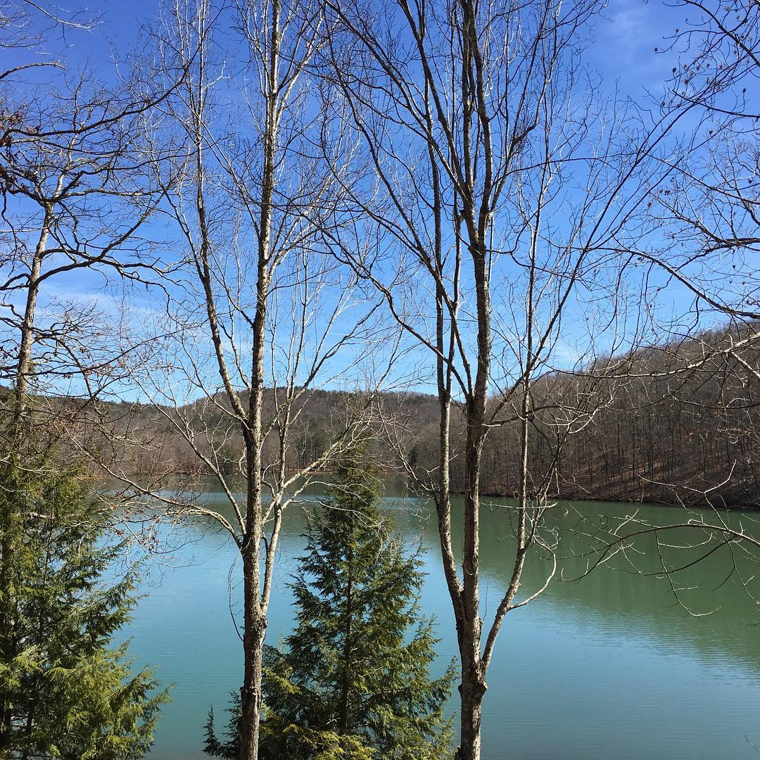
North Suck Creek

Sequatchie County, TN Courthouse - Dunlap, TN

@xpectopatronum on the hang gliding ramp. #babe #model #portrait #tennessee #view #sequatchievalley

North Suck Creek
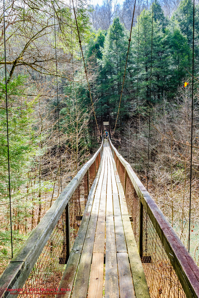
North Suck Creek Bridge
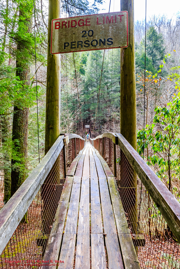
North Suck Creek Bridge

North Suck Creek Bridge
North Suck Creek Bridge
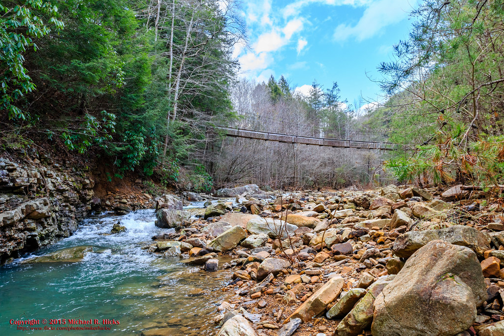
North Suck Creek Bridge
Enjoying nature with the Painter family in Tennessee.
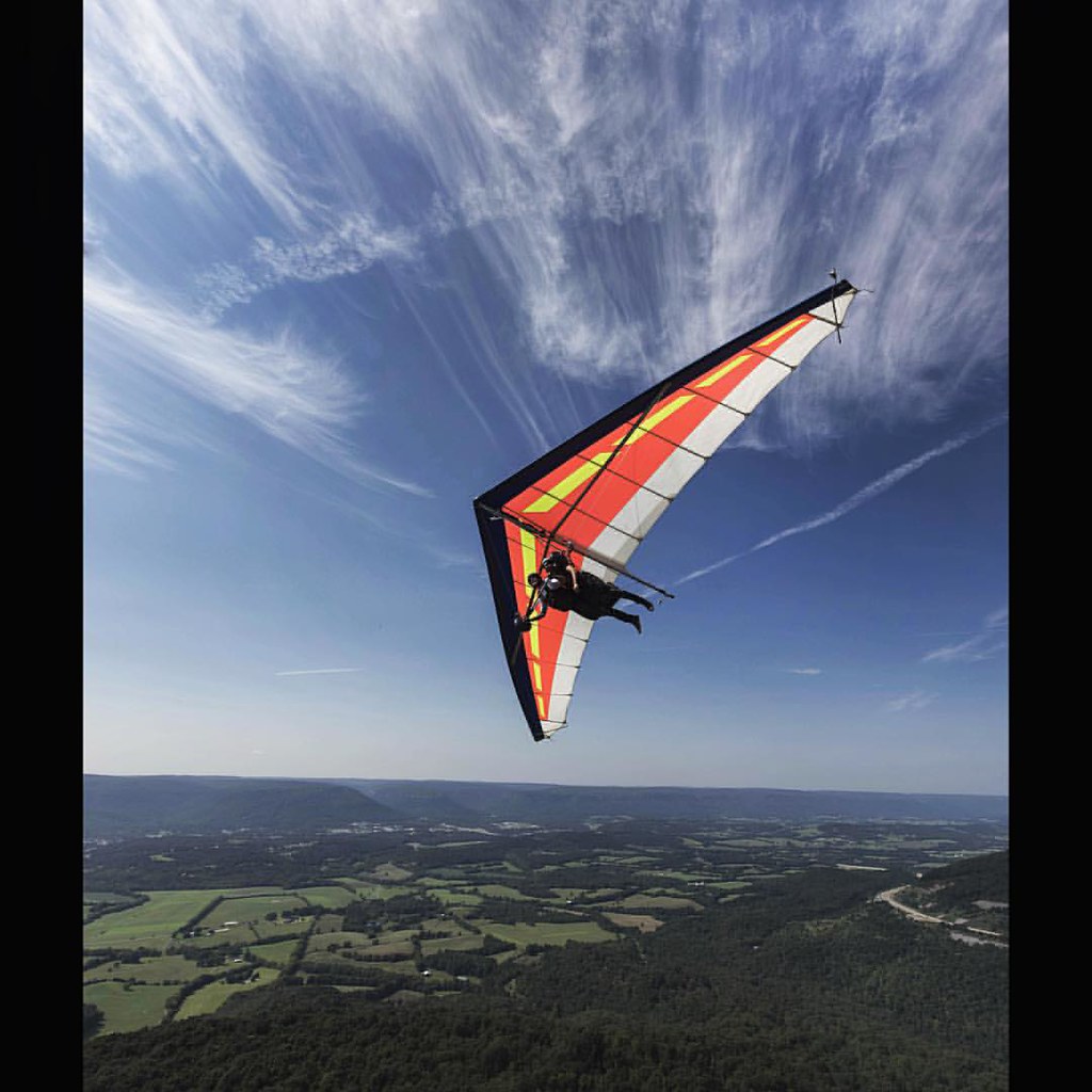
Clark and @harrismiz swooping past the ramp. #hanggliding #tennessee #flight #hangglider #landscape #adventure #travel
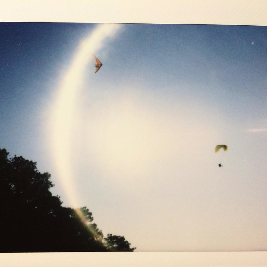
Cool Polaroid by @jewishthunder of my mom and I flying around; I'm in the hangglider, she's in the paraglider. #hanggliding #paragliding #tennessee #travel #polaroid #film #flight #sky
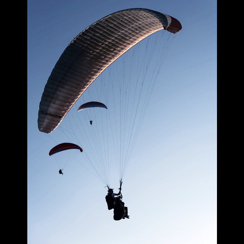
Paragliding over the Sequatchie valley. #paragliding #flight #adventure #travel #tennessee #natgeo #wanderlust
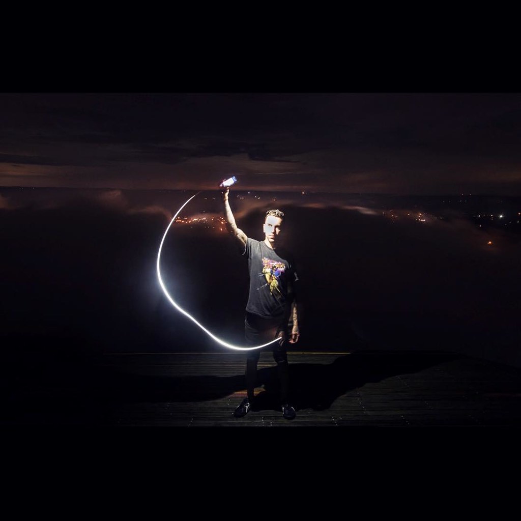
Greetings from home. #tennessee #longexposure #night #landscape #horizon #night #photooftheday #lightpainting

_DSC0340-Edit
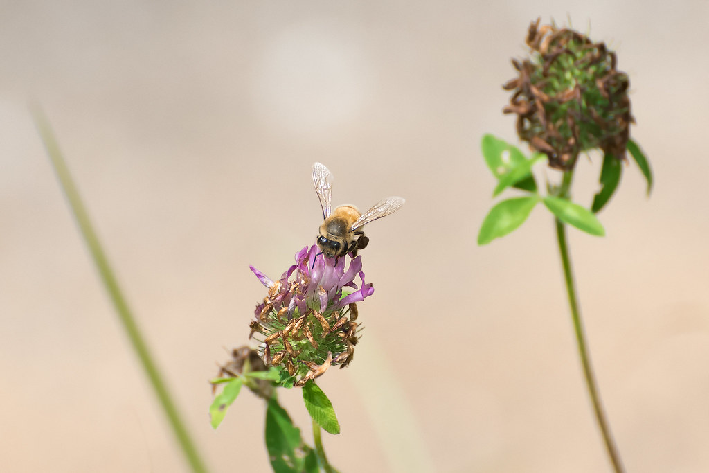
Bee--3
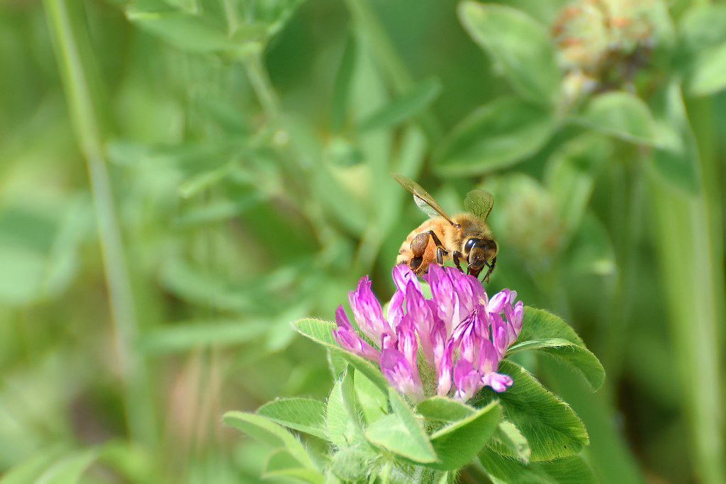
Bee--2
Bee-

Dunlap,TN-
Mapa de W Valley Rd, Whitwell, TN, EE. UU.
Buscar otro lugar
Lugares cercanos
Daus Mill Rd, Dunlap, TN, EE. UU.
Farmington Ln, Dunlap, TN, EE. UU.
Hidden Ridge Loop, Dunlap, TN, EE. UU.
50 Wilderness Way, Dunlap, TN, EE. UU.
Whitwell, Tennessee, EE. UU.
Deep Woods Dr, Dunlap, TN, EE. UU.
Daus Mountain Rd, Palmer, TN, EE. UU.
Condado de Sequatchie, Tennessee, EE. UU.
Mirror Lake Rd, Dunlap, TN, EE. UU.
Dunlap, Tennessee, EE. UU.
Airport Avenue, Airport Ave, Tennessee, EE. UU.
Clear Brooks Drive, Clear Brooks Dr, Tennessee, EE. UU.
Clear Brooks Dr, Signal Mountain, TN, EE. UU.
TN-, Whitwell, TN, EE. UU.
Powells Crossroads, Tennessee, EE. UU.
Grays Creek Rd, Whitwell, TN, EE. UU.
Whitwell, Tennessee, EE. UU.
Choctaw Trail, Chattanooga, TN, EE. UU.
Choctaw Trail, Chattanooga, TN, EE. UU.
Palmer, Tennessee, EE. UU.
Búsquedas recientes
- Horas de salida y puesta de sol de Red Dog Mine, AK, USA
- Horas de salida y puesta de sol de Am Bahnhof, Am bhf, Borken, Germany
- Horas de salida y puesta de sol de 4th St E, Sonoma, CA, EE. UU.
- Horas de salida y puesta de sol de Oakland Ave, Williamsport, PA, EE. UU.
- Horas de salida y puesta de sol de Via Roma, Pieranica CR, Italia
- Horas de salida y puesta de sol de Torre del reloj, Grad, Dubrovnik (Ragusa), Croacia
- Horas de salida y puesta de sol de Trelew, Chubut, Argentina
- Horas de salida y puesta de sol de Hartfords Bluff Cir, Mt Pleasant, SC, EE. UU.
- Horas de salida y puesta de sol de Kita Ward, Kumamoto, Japón
- Horas de salida y puesta de sol de Pingtan Island, Pingtan County, Fuzhou, China