Horas de salida y puesta de sol de Morgan Hill, California, EE. UU.
Location: Estados Unidos > California > Condado de Santa Clara > Morgan Hill >
Zona horaria:
America/Los_Angeles
Hora local:
2025-06-17 12:25:02
Longitud:
-121.5826642
Latitud:
37.2187714
Salida de sol de hoy:
05:45:54 AM
Puesta de sol de hoy:
08:29:25 PM
La duración del día hoy:
14h 43m 31s
Salida de sol de mañana:
05:46:05 AM
Puesta de sol de mañana:
08:29:41 PM
La duración del día mañana:
14h 43m 36s
Mostrar todas las fechas
| Fecha | Salida de sol | Puesta de sol | Duración del día |
|---|---|---|---|
| 01/01/2025 | 07:20:19 AM | 05:00:48 PM | 9h 40m 29s |
| 02/01/2025 | 07:20:24 AM | 05:01:37 PM | 9h 41m 13s |
| 03/01/2025 | 07:20:28 AM | 05:02:28 PM | 9h 42m 0s |
| 04/01/2025 | 07:20:29 AM | 05:03:20 PM | 9h 42m 51s |
| 05/01/2025 | 07:20:28 AM | 05:04:13 PM | 9h 43m 45s |
| 06/01/2025 | 07:20:26 AM | 05:05:08 PM | 9h 44m 42s |
| 07/01/2025 | 07:20:21 AM | 05:06:03 PM | 9h 45m 42s |
| 08/01/2025 | 07:20:14 AM | 05:06:59 PM | 9h 46m 45s |
| 09/01/2025 | 07:20:05 AM | 05:07:56 PM | 9h 47m 51s |
| 10/01/2025 | 07:19:54 AM | 05:08:54 PM | 9h 49m 0s |
| 11/01/2025 | 07:19:42 AM | 05:09:53 PM | 9h 50m 11s |
| 12/01/2025 | 07:19:27 AM | 05:10:53 PM | 9h 51m 26s |
| 13/01/2025 | 07:19:10 AM | 05:11:53 PM | 9h 52m 43s |
| 14/01/2025 | 07:18:51 AM | 05:12:54 PM | 9h 54m 3s |
| 15/01/2025 | 07:18:30 AM | 05:13:56 PM | 9h 55m 26s |
| 16/01/2025 | 07:18:07 AM | 05:14:58 PM | 9h 56m 51s |
| 17/01/2025 | 07:17:42 AM | 05:16:01 PM | 9h 58m 19s |
| 18/01/2025 | 07:17:16 AM | 05:17:04 PM | 9h 59m 48s |
| 19/01/2025 | 07:16:47 AM | 05:18:08 PM | 10h 1m 21s |
| 20/01/2025 | 07:16:16 AM | 05:19:12 PM | 10h 2m 56s |
| 21/01/2025 | 07:15:44 AM | 05:20:16 PM | 10h 4m 32s |
| 22/01/2025 | 07:15:10 AM | 05:21:21 PM | 10h 6m 11s |
| 23/01/2025 | 07:14:33 AM | 05:22:26 PM | 10h 7m 53s |
| 24/01/2025 | 07:13:55 AM | 05:23:31 PM | 10h 9m 36s |
| 25/01/2025 | 07:13:16 AM | 05:24:36 PM | 10h 11m 20s |
| 26/01/2025 | 07:12:34 AM | 05:25:42 PM | 10h 13m 8s |
| 27/01/2025 | 07:11:51 AM | 05:26:48 PM | 10h 14m 57s |
| 28/01/2025 | 07:11:06 AM | 05:27:53 PM | 10h 16m 47s |
| 29/01/2025 | 07:10:19 AM | 05:28:59 PM | 10h 18m 40s |
| 30/01/2025 | 07:09:31 AM | 05:30:05 PM | 10h 20m 34s |
| 31/01/2025 | 07:08:41 AM | 05:31:11 PM | 10h 22m 30s |
| 01/02/2025 | 07:07:50 AM | 05:32:16 PM | 10h 24m 26s |
| 02/02/2025 | 07:06:57 AM | 05:33:22 PM | 10h 26m 25s |
| 03/02/2025 | 07:06:02 AM | 05:34:28 PM | 10h 28m 26s |
| 04/02/2025 | 07:05:06 AM | 05:35:33 PM | 10h 30m 27s |
| 05/02/2025 | 07:04:08 AM | 05:36:39 PM | 10h 32m 31s |
| 06/02/2025 | 07:03:09 AM | 05:37:44 PM | 10h 34m 35s |
| 07/02/2025 | 07:02:09 AM | 05:38:49 PM | 10h 36m 40s |
| 08/02/2025 | 07:01:07 AM | 05:39:53 PM | 10h 38m 46s |
| 09/02/2025 | 07:00:04 AM | 05:40:58 PM | 10h 40m 54s |
| 10/02/2025 | 06:59:00 AM | 05:42:02 PM | 10h 43m 2s |
| 11/02/2025 | 06:57:54 AM | 05:43:06 PM | 10h 45m 12s |
| 12/02/2025 | 06:56:47 AM | 05:44:10 PM | 10h 47m 23s |
| 13/02/2025 | 06:55:39 AM | 05:45:14 PM | 10h 49m 35s |
| 14/02/2025 | 06:54:30 AM | 05:46:17 PM | 10h 51m 47s |
| 15/02/2025 | 06:53:19 AM | 05:47:20 PM | 10h 54m 1s |
| 16/02/2025 | 06:52:08 AM | 05:48:23 PM | 10h 56m 15s |
| 17/02/2025 | 06:50:55 AM | 05:49:25 PM | 10h 58m 30s |
| 18/02/2025 | 06:49:42 AM | 05:50:27 PM | 11h 0m 45s |
| 19/02/2025 | 06:48:27 AM | 05:51:29 PM | 11h 3m 2s |
| 20/02/2025 | 06:47:12 AM | 05:52:30 PM | 11h 5m 18s |
| 21/02/2025 | 06:45:55 AM | 05:53:31 PM | 11h 7m 36s |
| 22/02/2025 | 06:44:38 AM | 05:54:32 PM | 11h 9m 54s |
| 23/02/2025 | 06:43:19 AM | 05:55:33 PM | 11h 12m 14s |
| 24/02/2025 | 06:42:00 AM | 05:56:33 PM | 11h 14m 33s |
| 25/02/2025 | 06:40:40 AM | 05:57:33 PM | 11h 16m 53s |
| 26/02/2025 | 06:39:19 AM | 05:58:32 PM | 11h 19m 13s |
| 27/02/2025 | 06:37:58 AM | 05:59:31 PM | 11h 21m 33s |
| 28/02/2025 | 06:36:36 AM | 06:00:30 PM | 11h 23m 54s |
| 01/03/2025 | 06:35:13 AM | 06:01:29 PM | 11h 26m 16s |
| 02/03/2025 | 06:33:49 AM | 06:02:27 PM | 11h 28m 38s |
| 03/03/2025 | 06:32:25 AM | 06:03:25 PM | 11h 31m 0s |
| 04/03/2025 | 06:31:00 AM | 06:04:23 PM | 11h 33m 23s |
| 05/03/2025 | 06:29:35 AM | 06:05:20 PM | 11h 35m 45s |
| 06/03/2025 | 06:28:09 AM | 06:06:17 PM | 11h 38m 8s |
| 07/03/2025 | 06:26:43 AM | 06:07:14 PM | 11h 40m 31s |
| 08/03/2025 | 06:25:16 AM | 06:08:10 PM | 11h 42m 54s |
| 09/03/2025 | 07:23:53 AM | 07:09:04 PM | 11h 45m 11s |
| 10/03/2025 | 07:22:25 AM | 07:10:00 PM | 11h 47m 35s |
| 11/03/2025 | 07:20:57 AM | 07:10:56 PM | 11h 49m 59s |
| 12/03/2025 | 07:19:29 AM | 07:11:52 PM | 11h 52m 23s |
| 13/03/2025 | 07:18:01 AM | 07:12:47 PM | 11h 54m 46s |
| 14/03/2025 | 07:16:32 AM | 07:13:42 PM | 11h 57m 10s |
| 15/03/2025 | 07:15:03 AM | 07:14:37 PM | 11h 59m 34s |
| 16/03/2025 | 07:13:33 AM | 07:15:32 PM | 12h 1m 59s |
| 17/03/2025 | 07:12:04 AM | 07:16:27 PM | 12h 4m 23s |
| 18/03/2025 | 07:10:34 AM | 07:17:21 PM | 12h 6m 47s |
| 19/03/2025 | 07:09:04 AM | 07:18:16 PM | 12h 9m 12s |
| 20/03/2025 | 07:07:35 AM | 07:19:10 PM | 12h 11m 35s |
| 21/03/2025 | 07:06:05 AM | 07:20:04 PM | 12h 13m 59s |
| 22/03/2025 | 07:04:35 AM | 07:20:58 PM | 12h 16m 23s |
| 23/03/2025 | 07:03:05 AM | 07:21:52 PM | 12h 18m 47s |
| 24/03/2025 | 07:01:35 AM | 07:22:45 PM | 12h 21m 10s |
| 25/03/2025 | 07:00:05 AM | 07:23:39 PM | 12h 23m 34s |
| 26/03/2025 | 06:58:35 AM | 07:24:33 PM | 12h 25m 58s |
| 27/03/2025 | 06:57:06 AM | 07:25:26 PM | 12h 28m 20s |
| 28/03/2025 | 06:55:36 AM | 07:26:20 PM | 12h 30m 44s |
| 29/03/2025 | 06:54:07 AM | 07:27:13 PM | 12h 33m 6s |
| 30/03/2025 | 06:52:38 AM | 07:28:06 PM | 12h 35m 28s |
| 31/03/2025 | 06:51:09 AM | 07:29:00 PM | 12h 37m 51s |
| 01/04/2025 | 06:49:40 AM | 07:29:53 PM | 12h 40m 13s |
| 02/04/2025 | 06:48:12 AM | 07:30:46 PM | 12h 42m 34s |
| 03/04/2025 | 06:46:44 AM | 07:31:40 PM | 12h 44m 56s |
| 04/04/2025 | 06:45:16 AM | 07:32:33 PM | 12h 47m 17s |
| 05/04/2025 | 06:43:49 AM | 07:33:26 PM | 12h 49m 37s |
| 06/04/2025 | 06:42:22 AM | 07:34:19 PM | 12h 51m 57s |
| 07/04/2025 | 06:40:55 AM | 07:35:13 PM | 12h 54m 18s |
| 08/04/2025 | 06:39:29 AM | 07:36:06 PM | 12h 56m 37s |
| 09/04/2025 | 06:38:04 AM | 07:37:00 PM | 12h 58m 56s |
| 10/04/2025 | 06:36:39 AM | 07:37:53 PM | 13h 1m 14s |
| 11/04/2025 | 06:35:15 AM | 07:38:46 PM | 13h 3m 31s |
| 12/04/2025 | 06:33:51 AM | 07:39:40 PM | 13h 5m 49s |
| 13/04/2025 | 06:32:28 AM | 07:40:34 PM | 13h 8m 6s |
| 14/04/2025 | 06:31:05 AM | 07:41:27 PM | 13h 10m 22s |
| 15/04/2025 | 06:29:43 AM | 07:42:21 PM | 13h 12m 38s |
| 16/04/2025 | 06:28:22 AM | 07:43:14 PM | 13h 14m 52s |
| 17/04/2025 | 06:27:02 AM | 07:44:08 PM | 13h 17m 6s |
| 18/04/2025 | 06:25:42 AM | 07:45:02 PM | 13h 19m 20s |
| 19/04/2025 | 06:24:23 AM | 07:45:56 PM | 13h 21m 33s |
| 20/04/2025 | 06:23:05 AM | 07:46:50 PM | 13h 23m 45s |
| 21/04/2025 | 06:21:48 AM | 07:47:44 PM | 13h 25m 56s |
| 22/04/2025 | 06:20:32 AM | 07:48:37 PM | 13h 28m 5s |
| 23/04/2025 | 06:19:16 AM | 07:49:31 PM | 13h 30m 15s |
| 24/04/2025 | 06:18:02 AM | 07:50:25 PM | 13h 32m 23s |
| 25/04/2025 | 06:16:49 AM | 07:51:19 PM | 13h 34m 30s |
| 26/04/2025 | 06:15:36 AM | 07:52:13 PM | 13h 36m 37s |
| 27/04/2025 | 06:14:25 AM | 07:53:07 PM | 13h 38m 42s |
| 28/04/2025 | 06:13:15 AM | 07:54:01 PM | 13h 40m 46s |
| 29/04/2025 | 06:12:05 AM | 07:54:55 PM | 13h 42m 50s |
| 30/04/2025 | 06:10:57 AM | 07:55:49 PM | 13h 44m 52s |
| 01/05/2025 | 06:09:50 AM | 07:56:42 PM | 13h 46m 52s |
| 02/05/2025 | 06:08:45 AM | 07:57:36 PM | 13h 48m 51s |
| 03/05/2025 | 06:07:40 AM | 07:58:30 PM | 13h 50m 50s |
| 04/05/2025 | 06:06:37 AM | 07:59:23 PM | 13h 52m 46s |
| 05/05/2025 | 06:05:35 AM | 08:00:16 PM | 13h 54m 41s |
| 06/05/2025 | 06:04:34 AM | 08:01:10 PM | 13h 56m 36s |
| 07/05/2025 | 06:03:34 AM | 08:02:02 PM | 13h 58m 28s |
| 08/05/2025 | 06:02:36 AM | 08:02:55 PM | 14h 0m 19s |
| 09/05/2025 | 06:01:39 AM | 08:03:48 PM | 14h 2m 9s |
| 10/05/2025 | 06:00:44 AM | 08:04:40 PM | 14h 3m 56s |
| 11/05/2025 | 05:59:50 AM | 08:05:32 PM | 14h 5m 42s |
| 12/05/2025 | 05:58:58 AM | 08:06:24 PM | 14h 7m 26s |
| 13/05/2025 | 05:58:07 AM | 08:07:15 PM | 14h 9m 8s |
| 14/05/2025 | 05:57:17 AM | 08:08:06 PM | 14h 10m 49s |
| 15/05/2025 | 05:56:29 AM | 08:08:57 PM | 14h 12m 28s |
| 16/05/2025 | 05:55:43 AM | 08:09:47 PM | 14h 14m 4s |
| 17/05/2025 | 05:54:58 AM | 08:10:37 PM | 14h 15m 39s |
| 18/05/2025 | 05:54:15 AM | 08:11:26 PM | 14h 17m 11s |
| 19/05/2025 | 05:53:33 AM | 08:12:15 PM | 14h 18m 42s |
| 20/05/2025 | 05:52:53 AM | 08:13:03 PM | 14h 20m 10s |
| 21/05/2025 | 05:52:14 AM | 08:13:50 PM | 14h 21m 36s |
| 22/05/2025 | 05:51:38 AM | 08:14:37 PM | 14h 22m 59s |
| 23/05/2025 | 05:51:02 AM | 08:15:24 PM | 14h 24m 22s |
| 24/05/2025 | 05:50:29 AM | 08:16:09 PM | 14h 25m 40s |
| 25/05/2025 | 05:49:57 AM | 08:16:54 PM | 14h 26m 57s |
| 26/05/2025 | 05:49:27 AM | 08:17:38 PM | 14h 28m 11s |
| 27/05/2025 | 05:48:59 AM | 08:18:22 PM | 14h 29m 23s |
| 28/05/2025 | 05:48:32 AM | 08:19:04 PM | 14h 30m 32s |
| 29/05/2025 | 05:48:08 AM | 08:19:46 PM | 14h 31m 38s |
| 30/05/2025 | 05:47:45 AM | 08:20:26 PM | 14h 32m 41s |
| 31/05/2025 | 05:47:23 AM | 08:21:06 PM | 14h 33m 43s |
| 01/06/2025 | 05:47:04 AM | 08:21:45 PM | 14h 34m 41s |
| 02/06/2025 | 05:46:46 AM | 08:22:23 PM | 14h 35m 37s |
| 03/06/2025 | 05:46:30 AM | 08:22:59 PM | 14h 36m 29s |
| 04/06/2025 | 05:46:16 AM | 08:23:35 PM | 14h 37m 19s |
| 05/06/2025 | 05:46:03 AM | 08:24:09 PM | 14h 38m 6s |
| 06/06/2025 | 05:45:53 AM | 08:24:42 PM | 14h 38m 49s |
| 07/06/2025 | 05:45:44 AM | 08:25:14 PM | 14h 39m 30s |
| 08/06/2025 | 05:45:37 AM | 08:25:45 PM | 14h 40m 8s |
| 09/06/2025 | 05:45:31 AM | 08:26:14 PM | 14h 40m 43s |
| 10/06/2025 | 05:45:28 AM | 08:26:42 PM | 14h 41m 14s |
| 11/06/2025 | 05:45:26 AM | 08:27:09 PM | 14h 41m 43s |
| 12/06/2025 | 05:45:26 AM | 08:27:34 PM | 14h 42m 8s |
| 13/06/2025 | 05:45:27 AM | 08:27:58 PM | 14h 42m 31s |
| 14/06/2025 | 05:45:31 AM | 08:28:21 PM | 14h 42m 50s |
| 15/06/2025 | 05:45:36 AM | 08:28:41 PM | 14h 43m 5s |
| 16/06/2025 | 05:45:42 AM | 08:29:01 PM | 14h 43m 19s |
| 17/06/2025 | 05:45:50 AM | 08:29:19 PM | 14h 43m 29s |
| 18/06/2025 | 05:46:00 AM | 08:29:35 PM | 14h 43m 35s |
| 19/06/2025 | 05:46:12 AM | 08:29:50 PM | 14h 43m 38s |
| 20/06/2025 | 05:46:25 AM | 08:30:03 PM | 14h 43m 38s |
| 21/06/2025 | 05:46:40 AM | 08:30:14 PM | 14h 43m 34s |
| 22/06/2025 | 05:46:56 AM | 08:30:24 PM | 14h 43m 28s |
| 23/06/2025 | 05:47:14 AM | 08:30:32 PM | 14h 43m 18s |
| 24/06/2025 | 05:47:33 AM | 08:30:38 PM | 14h 43m 5s |
| 25/06/2025 | 05:47:53 AM | 08:30:42 PM | 14h 42m 49s |
| 26/06/2025 | 05:48:16 AM | 08:30:45 PM | 14h 42m 29s |
| 27/06/2025 | 05:48:39 AM | 08:30:46 PM | 14h 42m 7s |
| 28/06/2025 | 05:49:04 AM | 08:30:46 PM | 14h 41m 42s |
| 29/06/2025 | 05:49:30 AM | 08:30:43 PM | 14h 41m 13s |
| 30/06/2025 | 05:49:57 AM | 08:30:39 PM | 14h 40m 42s |
| 01/07/2025 | 05:50:26 AM | 08:30:33 PM | 14h 40m 7s |
| 02/07/2025 | 05:50:56 AM | 08:30:25 PM | 14h 39m 29s |
| 03/07/2025 | 05:51:27 AM | 08:30:15 PM | 14h 38m 48s |
| 04/07/2025 | 05:51:59 AM | 08:30:03 PM | 14h 38m 4s |
| 05/07/2025 | 05:52:33 AM | 08:29:50 PM | 14h 37m 17s |
| 06/07/2025 | 05:53:07 AM | 08:29:35 PM | 14h 36m 28s |
| 07/07/2025 | 05:53:43 AM | 08:29:18 PM | 14h 35m 35s |
| 08/07/2025 | 05:54:19 AM | 08:28:59 PM | 14h 34m 40s |
| 09/07/2025 | 05:54:56 AM | 08:28:39 PM | 14h 33m 43s |
| 10/07/2025 | 05:55:35 AM | 08:28:16 PM | 14h 32m 41s |
| 11/07/2025 | 05:56:14 AM | 08:27:52 PM | 14h 31m 38s |
| 12/07/2025 | 05:56:54 AM | 08:27:26 PM | 14h 30m 32s |
| 13/07/2025 | 05:57:35 AM | 08:26:58 PM | 14h 29m 23s |
| 14/07/2025 | 05:58:16 AM | 08:26:29 PM | 14h 28m 13s |
| 15/07/2025 | 05:58:59 AM | 08:25:57 PM | 14h 26m 58s |
| 16/07/2025 | 05:59:42 AM | 08:25:24 PM | 14h 25m 42s |
| 17/07/2025 | 06:00:25 AM | 08:24:50 PM | 14h 24m 25s |
| 18/07/2025 | 06:01:10 AM | 08:24:13 PM | 14h 23m 3s |
| 19/07/2025 | 06:01:55 AM | 08:23:35 PM | 14h 21m 40s |
| 20/07/2025 | 06:02:40 AM | 08:22:55 PM | 14h 20m 15s |
| 21/07/2025 | 06:03:26 AM | 08:22:14 PM | 14h 18m 48s |
| 22/07/2025 | 06:04:13 AM | 08:21:31 PM | 14h 17m 18s |
| 23/07/2025 | 06:04:59 AM | 08:20:46 PM | 14h 15m 47s |
| 24/07/2025 | 06:05:47 AM | 08:19:59 PM | 14h 14m 12s |
| 25/07/2025 | 06:06:34 AM | 08:19:11 PM | 14h 12m 37s |
| 26/07/2025 | 06:07:22 AM | 08:18:22 PM | 14h 11m 0s |
| 27/07/2025 | 06:08:11 AM | 08:17:31 PM | 14h 9m 20s |
| 28/07/2025 | 06:09:00 AM | 08:16:38 PM | 14h 7m 38s |
| 29/07/2025 | 06:09:48 AM | 08:15:44 PM | 14h 5m 56s |
| 30/07/2025 | 06:10:38 AM | 08:14:49 PM | 14h 4m 11s |
| 31/07/2025 | 06:11:27 AM | 08:13:52 PM | 14h 2m 25s |
| 01/08/2025 | 06:12:17 AM | 08:12:54 PM | 14h 0m 37s |
| 02/08/2025 | 06:13:06 AM | 08:11:54 PM | 13h 58m 48s |
| 03/08/2025 | 06:13:56 AM | 08:10:53 PM | 13h 56m 57s |
| 04/08/2025 | 06:14:46 AM | 08:09:51 PM | 13h 55m 5s |
| 05/08/2025 | 06:15:36 AM | 08:08:47 PM | 13h 53m 11s |
| 06/08/2025 | 06:16:27 AM | 08:07:42 PM | 13h 51m 15s |
| 07/08/2025 | 06:17:17 AM | 08:06:36 PM | 13h 49m 19s |
| 08/08/2025 | 06:18:07 AM | 08:05:28 PM | 13h 47m 21s |
| 09/08/2025 | 06:18:58 AM | 08:04:20 PM | 13h 45m 22s |
| 10/08/2025 | 06:19:48 AM | 08:03:10 PM | 13h 43m 22s |
| 11/08/2025 | 06:20:39 AM | 08:01:59 PM | 13h 41m 20s |
| 12/08/2025 | 06:21:29 AM | 08:00:47 PM | 13h 39m 18s |
| 13/08/2025 | 06:22:19 AM | 07:59:34 PM | 13h 37m 15s |
| 14/08/2025 | 06:23:10 AM | 07:58:20 PM | 13h 35m 10s |
| 15/08/2025 | 06:24:00 AM | 07:57:05 PM | 13h 33m 5s |
| 16/08/2025 | 06:24:50 AM | 07:55:49 PM | 13h 30m 59s |
| 17/08/2025 | 06:25:41 AM | 07:54:31 PM | 13h 28m 50s |
| 18/08/2025 | 06:26:31 AM | 07:53:13 PM | 13h 26m 42s |
| 19/08/2025 | 06:27:21 AM | 07:51:55 PM | 13h 24m 34s |
| 20/08/2025 | 06:28:11 AM | 07:50:35 PM | 13h 22m 24s |
| 21/08/2025 | 06:29:01 AM | 07:49:14 PM | 13h 20m 13s |
| 22/08/2025 | 06:29:51 AM | 07:47:53 PM | 13h 18m 2s |
| 23/08/2025 | 06:30:41 AM | 07:46:31 PM | 13h 15m 50s |
| 24/08/2025 | 06:31:30 AM | 07:45:08 PM | 13h 13m 38s |
| 25/08/2025 | 06:32:20 AM | 07:43:44 PM | 13h 11m 24s |
| 26/08/2025 | 06:33:10 AM | 07:42:20 PM | 13h 9m 10s |
| 27/08/2025 | 06:33:59 AM | 07:40:55 PM | 13h 6m 56s |
| 28/08/2025 | 06:34:49 AM | 07:39:29 PM | 13h 4m 40s |
| 29/08/2025 | 06:35:38 AM | 07:38:03 PM | 13h 2m 25s |
| 30/08/2025 | 06:36:27 AM | 07:36:36 PM | 13h 0m 9s |
| 31/08/2025 | 06:37:17 AM | 07:35:08 PM | 12h 57m 51s |
| 01/09/2025 | 06:38:06 AM | 07:33:41 PM | 12h 55m 35s |
| 02/09/2025 | 06:38:55 AM | 07:32:12 PM | 12h 53m 17s |
| 03/09/2025 | 06:39:44 AM | 07:30:43 PM | 12h 50m 59s |
| 04/09/2025 | 06:40:33 AM | 07:29:14 PM | 12h 48m 41s |
| 05/09/2025 | 06:41:22 AM | 07:27:44 PM | 12h 46m 22s |
| 06/09/2025 | 06:42:11 AM | 07:26:14 PM | 12h 44m 3s |
| 07/09/2025 | 06:43:00 AM | 07:24:44 PM | 12h 41m 44s |
| 08/09/2025 | 06:43:49 AM | 07:23:13 PM | 12h 39m 24s |
| 09/09/2025 | 06:44:38 AM | 07:21:42 PM | 12h 37m 4s |
| 10/09/2025 | 06:45:27 AM | 07:20:11 PM | 12h 34m 44s |
| 11/09/2025 | 06:46:16 AM | 07:18:40 PM | 12h 32m 24s |
| 12/09/2025 | 06:47:05 AM | 07:17:08 PM | 12h 30m 3s |
| 13/09/2025 | 06:47:54 AM | 07:15:36 PM | 12h 27m 42s |
| 14/09/2025 | 06:48:43 AM | 07:14:04 PM | 12h 25m 21s |
| 15/09/2025 | 06:49:32 AM | 07:12:32 PM | 12h 23m 0s |
| 16/09/2025 | 06:50:21 AM | 07:11:00 PM | 12h 20m 39s |
| 17/09/2025 | 06:51:11 AM | 07:09:28 PM | 12h 18m 17s |
| 18/09/2025 | 06:52:00 AM | 07:07:56 PM | 12h 15m 56s |
| 19/09/2025 | 06:52:49 AM | 07:06:24 PM | 12h 13m 35s |
| 20/09/2025 | 06:53:39 AM | 07:04:51 PM | 12h 11m 12s |
| 21/09/2025 | 06:54:29 AM | 07:03:19 PM | 12h 8m 50s |
| 22/09/2025 | 06:55:19 AM | 07:01:47 PM | 12h 6m 28s |
| 23/09/2025 | 06:56:09 AM | 07:00:16 PM | 12h 4m 7s |
| 24/09/2025 | 06:56:59 AM | 06:58:44 PM | 12h 1m 45s |
| 25/09/2025 | 06:57:49 AM | 06:57:12 PM | 11h 59m 23s |
| 26/09/2025 | 06:58:40 AM | 06:55:41 PM | 11h 57m 1s |
| 27/09/2025 | 06:59:31 AM | 06:54:10 PM | 11h 54m 39s |
| 28/09/2025 | 07:00:22 AM | 06:52:39 PM | 11h 52m 17s |
| 29/09/2025 | 07:01:13 AM | 06:51:09 PM | 11h 49m 56s |
| 30/09/2025 | 07:02:04 AM | 06:49:38 PM | 11h 47m 34s |
| 01/10/2025 | 07:02:56 AM | 06:48:09 PM | 11h 45m 13s |
| 02/10/2025 | 07:03:48 AM | 06:46:39 PM | 11h 42m 51s |
| 03/10/2025 | 07:04:40 AM | 06:45:10 PM | 11h 40m 30s |
| 04/10/2025 | 07:05:32 AM | 06:43:42 PM | 11h 38m 10s |
| 05/10/2025 | 07:06:25 AM | 06:42:14 PM | 11h 35m 49s |
| 06/10/2025 | 07:07:18 AM | 06:40:46 PM | 11h 33m 28s |
| 07/10/2025 | 07:08:11 AM | 06:39:19 PM | 11h 31m 8s |
| 08/10/2025 | 07:09:05 AM | 06:37:53 PM | 11h 28m 48s |
| 09/10/2025 | 07:09:59 AM | 06:36:27 PM | 11h 26m 28s |
| 10/10/2025 | 07:10:53 AM | 06:35:02 PM | 11h 24m 9s |
| 11/10/2025 | 07:11:48 AM | 06:33:37 PM | 11h 21m 49s |
| 12/10/2025 | 07:12:43 AM | 06:32:13 PM | 11h 19m 30s |
| 13/10/2025 | 07:13:38 AM | 06:30:50 PM | 11h 17m 12s |
| 14/10/2025 | 07:14:33 AM | 06:29:28 PM | 11h 14m 55s |
| 15/10/2025 | 07:15:29 AM | 06:28:07 PM | 11h 12m 38s |
| 16/10/2025 | 07:16:25 AM | 06:26:46 PM | 11h 10m 21s |
| 17/10/2025 | 07:17:22 AM | 06:25:26 PM | 11h 8m 4s |
| 18/10/2025 | 07:18:19 AM | 06:24:07 PM | 11h 5m 48s |
| 19/10/2025 | 07:19:16 AM | 06:22:49 PM | 11h 3m 33s |
| 20/10/2025 | 07:20:14 AM | 06:21:32 PM | 11h 1m 18s |
| 21/10/2025 | 07:21:12 AM | 06:20:16 PM | 10h 59m 4s |
| 22/10/2025 | 07:22:10 AM | 06:19:01 PM | 10h 56m 51s |
| 23/10/2025 | 07:23:09 AM | 06:17:47 PM | 10h 54m 38s |
| 24/10/2025 | 07:24:08 AM | 06:16:34 PM | 10h 52m 26s |
| 25/10/2025 | 07:25:07 AM | 06:15:22 PM | 10h 50m 15s |
| 26/10/2025 | 07:26:07 AM | 06:14:12 PM | 10h 48m 5s |
| 27/10/2025 | 07:27:07 AM | 06:13:02 PM | 10h 45m 55s |
| 28/10/2025 | 07:28:07 AM | 06:11:54 PM | 10h 43m 47s |
| 29/10/2025 | 07:29:08 AM | 06:10:47 PM | 10h 41m 39s |
| 30/10/2025 | 07:30:09 AM | 06:09:42 PM | 10h 39m 33s |
| 31/10/2025 | 07:31:10 AM | 06:08:37 PM | 10h 37m 27s |
| 01/11/2025 | 07:32:11 AM | 06:07:34 PM | 10h 35m 23s |
| 02/11/2025 | 06:33:15 AM | 05:06:30 PM | 10h 33m 15s |
| 03/11/2025 | 06:34:17 AM | 05:05:30 PM | 10h 31m 13s |
| 04/11/2025 | 06:35:19 AM | 05:04:32 PM | 10h 29m 13s |
| 05/11/2025 | 06:36:22 AM | 05:03:34 PM | 10h 27m 12s |
| 06/11/2025 | 06:37:24 AM | 05:02:39 PM | 10h 25m 15s |
| 07/11/2025 | 06:38:26 AM | 05:01:45 PM | 10h 23m 19s |
| 08/11/2025 | 06:39:29 AM | 05:00:52 PM | 10h 21m 23s |
| 09/11/2025 | 06:40:32 AM | 05:00:01 PM | 10h 19m 29s |
| 10/11/2025 | 06:41:35 AM | 04:59:12 PM | 10h 17m 37s |
| 11/11/2025 | 06:42:37 AM | 04:58:25 PM | 10h 15m 48s |
| 12/11/2025 | 06:43:40 AM | 04:57:39 PM | 10h 13m 59s |
| 13/11/2025 | 06:44:43 AM | 04:56:54 PM | 10h 12m 11s |
| 14/11/2025 | 06:45:46 AM | 04:56:12 PM | 10h 10m 26s |
| 15/11/2025 | 06:46:48 AM | 04:55:31 PM | 10h 8m 43s |
| 16/11/2025 | 06:47:51 AM | 04:54:53 PM | 10h 7m 2s |
| 17/11/2025 | 06:48:53 AM | 04:54:16 PM | 10h 5m 23s |
| 18/11/2025 | 06:49:55 AM | 04:53:41 PM | 10h 3m 46s |
| 19/11/2025 | 06:50:57 AM | 04:53:07 PM | 10h 2m 10s |
| 20/11/2025 | 06:51:58 AM | 04:52:36 PM | 10h 0m 38s |
| 21/11/2025 | 06:53:00 AM | 04:52:07 PM | 9h 59m 7s |
| 22/11/2025 | 06:54:00 AM | 04:51:39 PM | 9h 57m 39s |
| 23/11/2025 | 06:55:01 AM | 04:51:14 PM | 9h 56m 13s |
| 24/11/2025 | 06:56:01 AM | 04:50:50 PM | 9h 54m 49s |
| 25/11/2025 | 06:57:00 AM | 04:50:29 PM | 9h 53m 29s |
| 26/11/2025 | 06:57:59 AM | 04:50:09 PM | 9h 52m 10s |
| 27/11/2025 | 06:58:57 AM | 04:49:52 PM | 9h 50m 55s |
| 28/11/2025 | 06:59:55 AM | 04:49:37 PM | 9h 49m 42s |
| 29/11/2025 | 07:00:52 AM | 04:49:23 PM | 9h 48m 31s |
| 30/11/2025 | 07:01:48 AM | 04:49:12 PM | 9h 47m 24s |
| 01/12/2025 | 07:02:43 AM | 04:49:03 PM | 9h 46m 20s |
| 02/12/2025 | 07:03:37 AM | 04:48:56 PM | 9h 45m 19s |
| 03/12/2025 | 07:04:31 AM | 04:48:51 PM | 9h 44m 20s |
| 04/12/2025 | 07:05:23 AM | 04:48:48 PM | 9h 43m 25s |
| 05/12/2025 | 07:06:15 AM | 04:48:47 PM | 9h 42m 32s |
| 06/12/2025 | 07:07:05 AM | 04:48:48 PM | 9h 41m 43s |
| 07/12/2025 | 07:07:55 AM | 04:48:52 PM | 9h 40m 57s |
| 08/12/2025 | 07:08:43 AM | 04:48:57 PM | 9h 40m 14s |
| 09/12/2025 | 07:09:30 AM | 04:49:04 PM | 9h 39m 34s |
| 10/12/2025 | 07:10:16 AM | 04:49:14 PM | 9h 38m 58s |
| 11/12/2025 | 07:11:00 AM | 04:49:26 PM | 9h 38m 26s |
| 12/12/2025 | 07:11:43 AM | 04:49:39 PM | 9h 37m 56s |
| 13/12/2025 | 07:12:25 AM | 04:49:55 PM | 9h 37m 30s |
| 14/12/2025 | 07:13:05 AM | 04:50:12 PM | 9h 37m 7s |
| 15/12/2025 | 07:13:44 AM | 04:50:32 PM | 9h 36m 48s |
| 16/12/2025 | 07:14:21 AM | 04:50:53 PM | 9h 36m 32s |
| 17/12/2025 | 07:14:56 AM | 04:51:17 PM | 9h 36m 21s |
| 18/12/2025 | 07:15:30 AM | 04:51:42 PM | 9h 36m 12s |
| 19/12/2025 | 07:16:03 AM | 04:52:09 PM | 9h 36m 6s |
| 20/12/2025 | 07:16:33 AM | 04:52:38 PM | 9h 36m 5s |
| 21/12/2025 | 07:17:02 AM | 04:53:09 PM | 9h 36m 7s |
| 22/12/2025 | 07:17:29 AM | 04:53:42 PM | 9h 36m 13s |
| 23/12/2025 | 07:17:55 AM | 04:54:16 PM | 9h 36m 21s |
| 24/12/2025 | 07:18:18 AM | 04:54:52 PM | 9h 36m 34s |
| 25/12/2025 | 07:18:40 AM | 04:55:30 PM | 9h 36m 50s |
| 26/12/2025 | 07:18:59 AM | 04:56:09 PM | 9h 37m 10s |
| 27/12/2025 | 07:19:17 AM | 04:56:50 PM | 9h 37m 33s |
| 28/12/2025 | 07:19:33 AM | 04:57:32 PM | 9h 37m 59s |
| 29/12/2025 | 07:19:47 AM | 04:58:16 PM | 9h 38m 29s |
| 30/12/2025 | 07:19:59 AM | 04:59:01 PM | 9h 39m 2s |
| 31/12/2025 | 07:20:09 AM | 04:59:48 PM | 9h 39m 39s |
Fotos
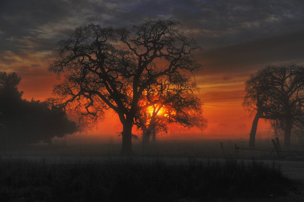
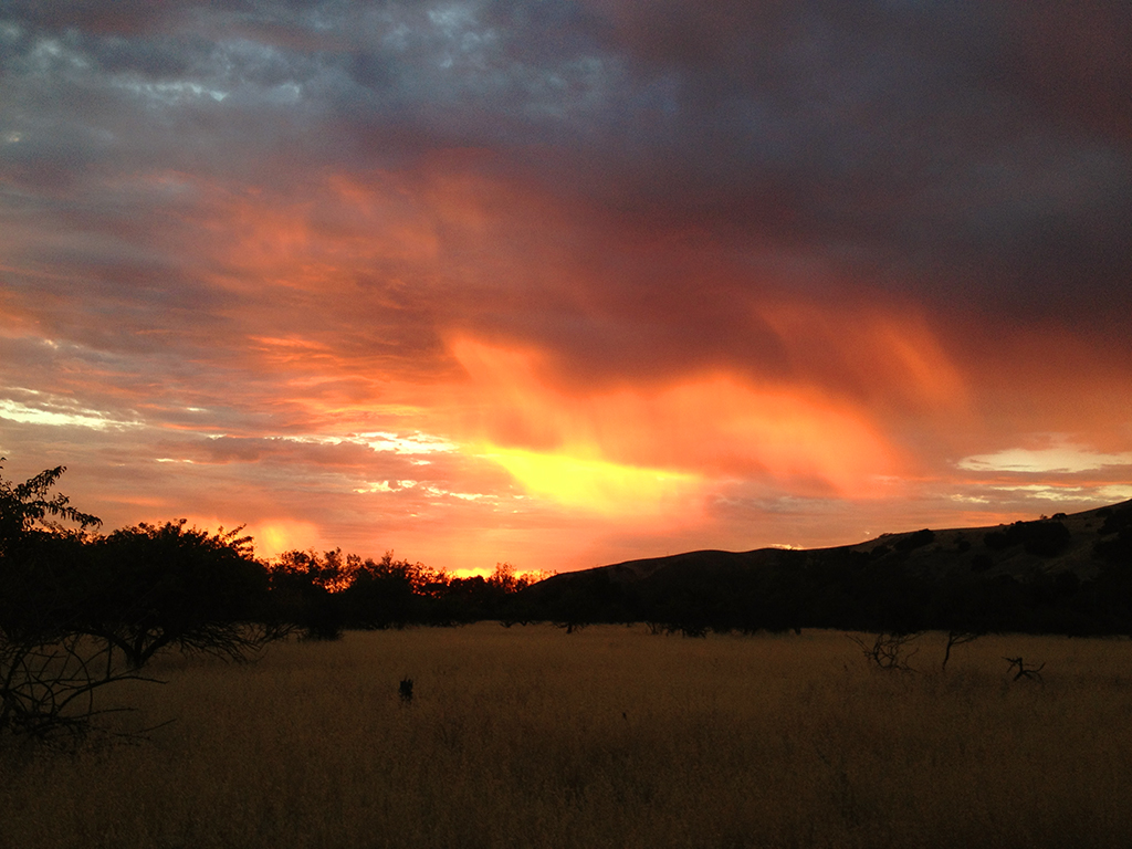
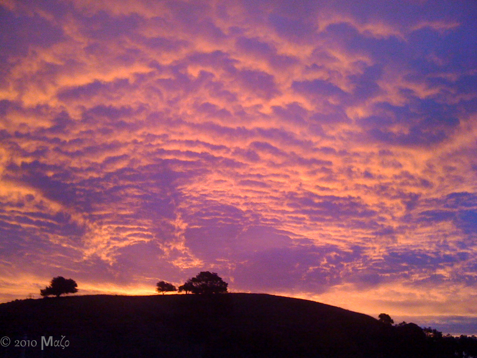
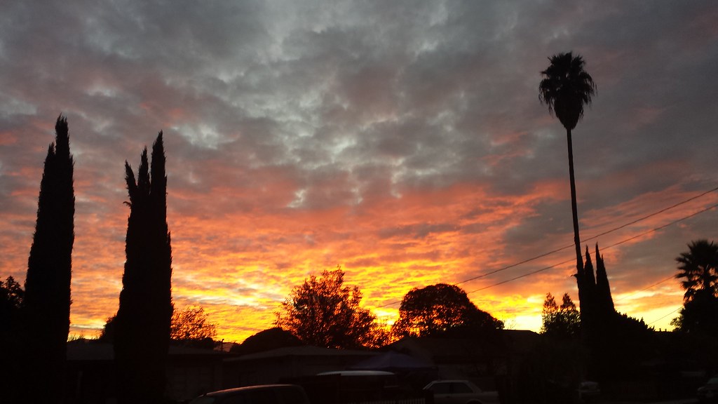
Red Skies at Night
Oaks at Dawn
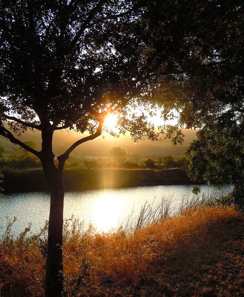
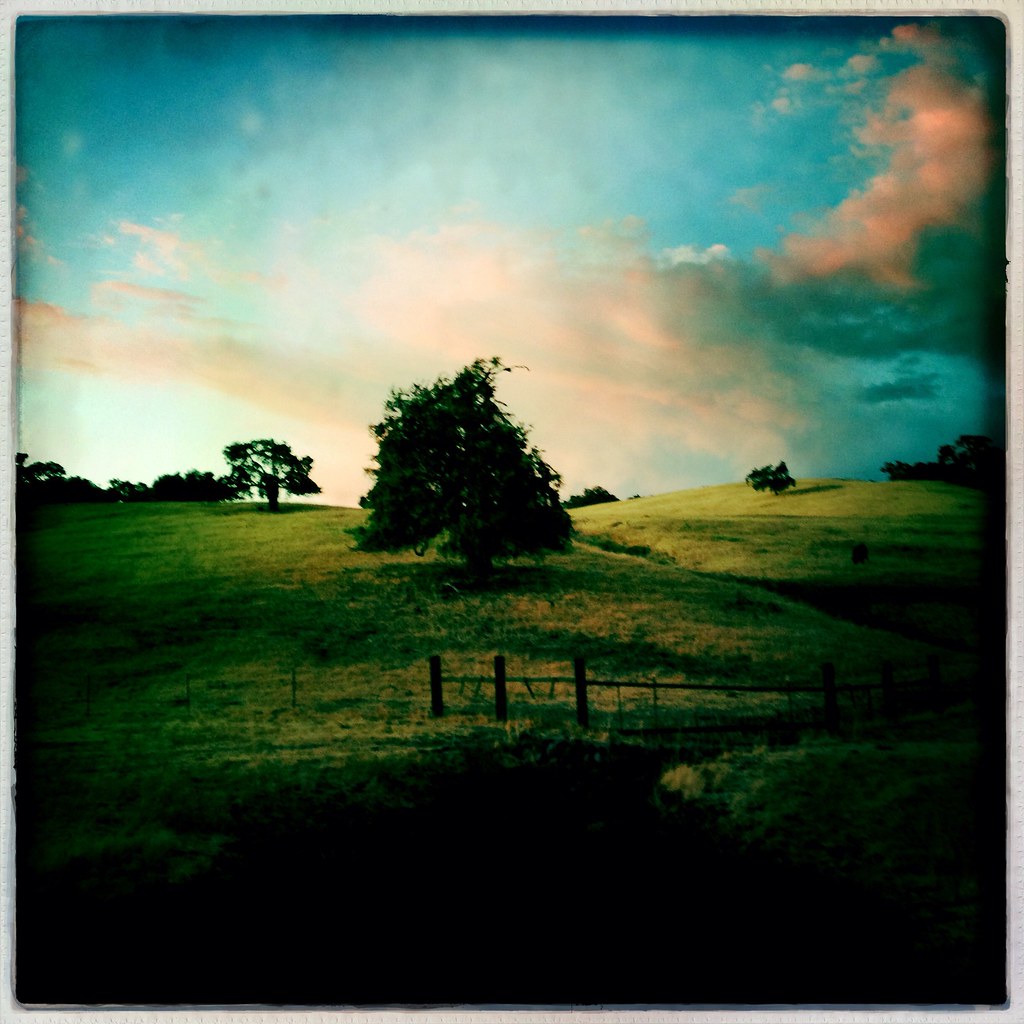
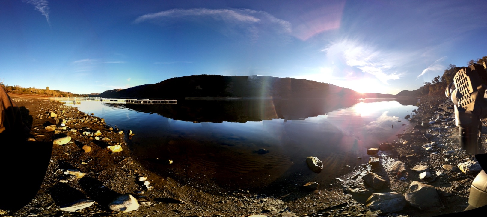
~CayoteCreekReservoir/SanJose,Ca #1~
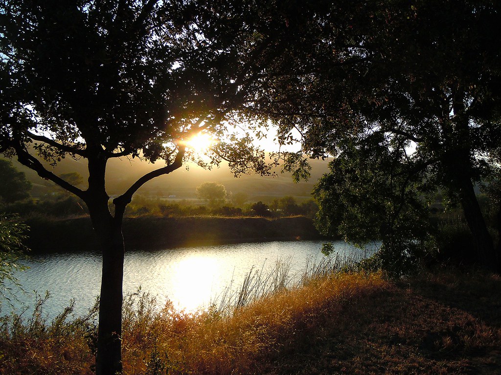
~CayoteCreekReservoir/SanJose,Ca #3~
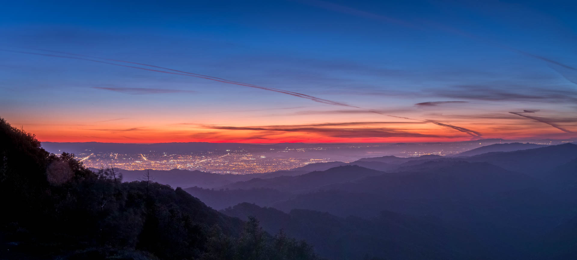
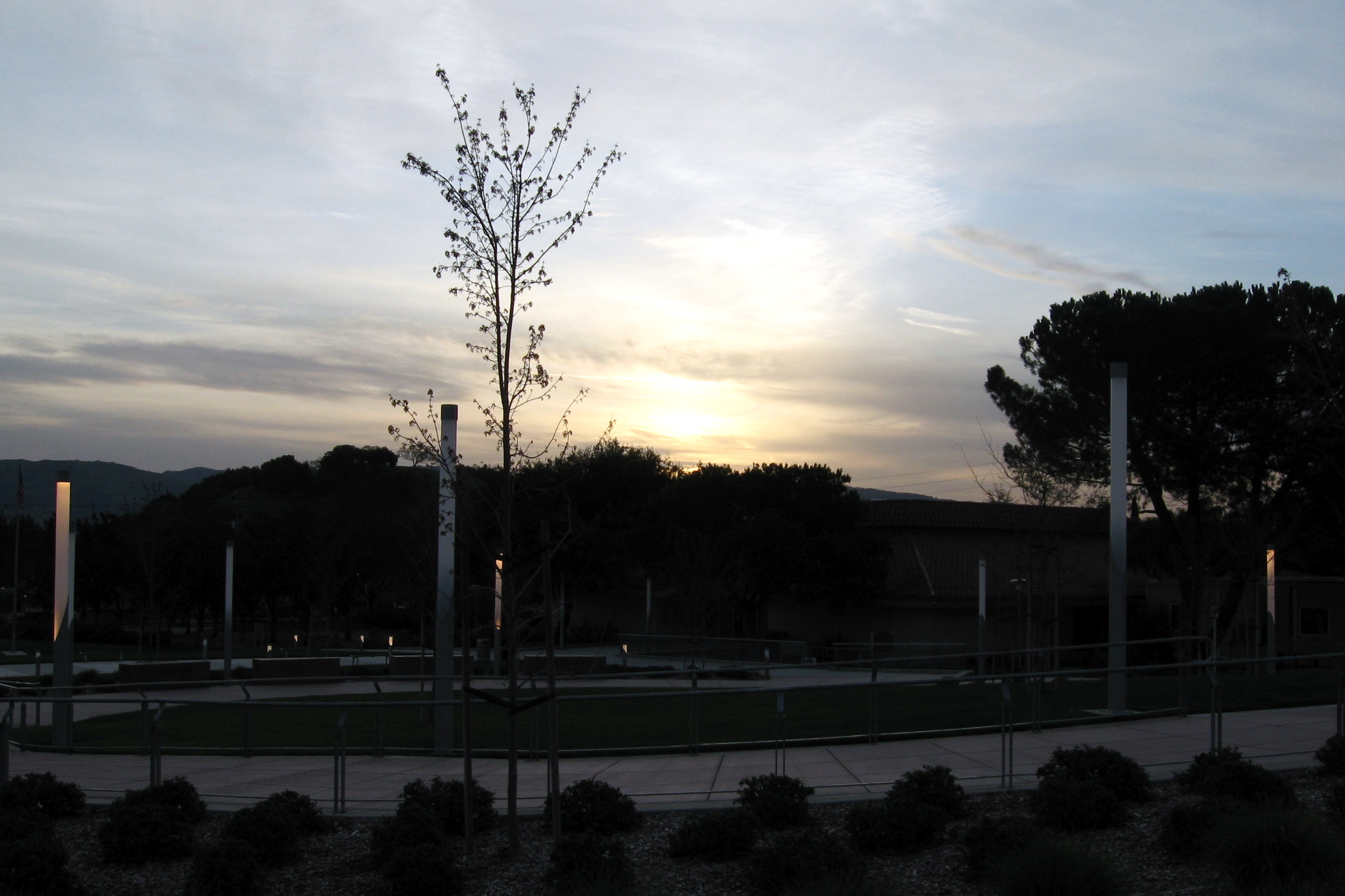
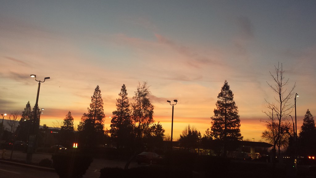
Silicon Valley Sunset
Talk About Sun & Sky & Mysteries Of Nature With Sons & Daughters...And Quench Their Thirst for Knowledge On Creation..,,,,
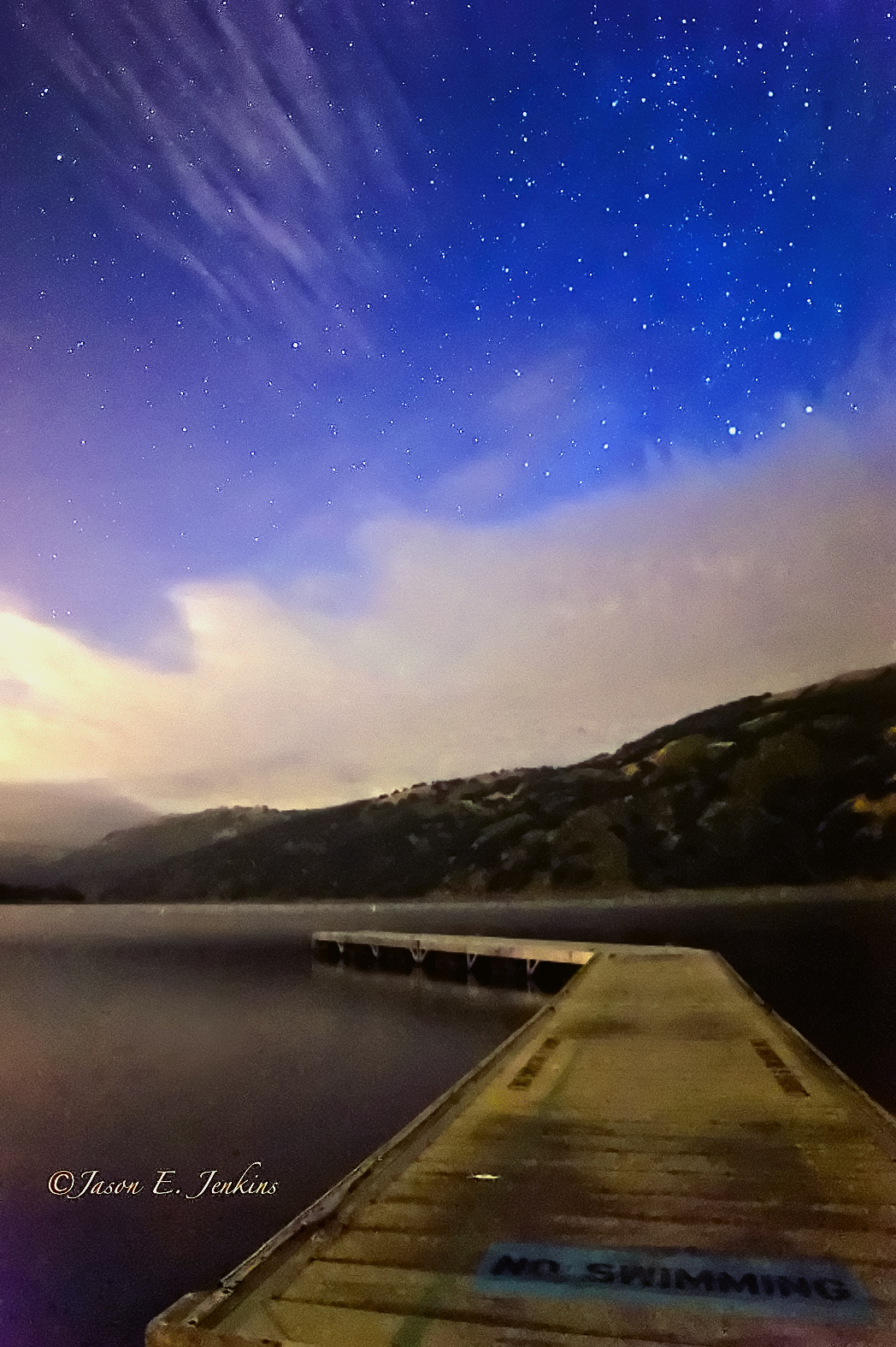
No swimming
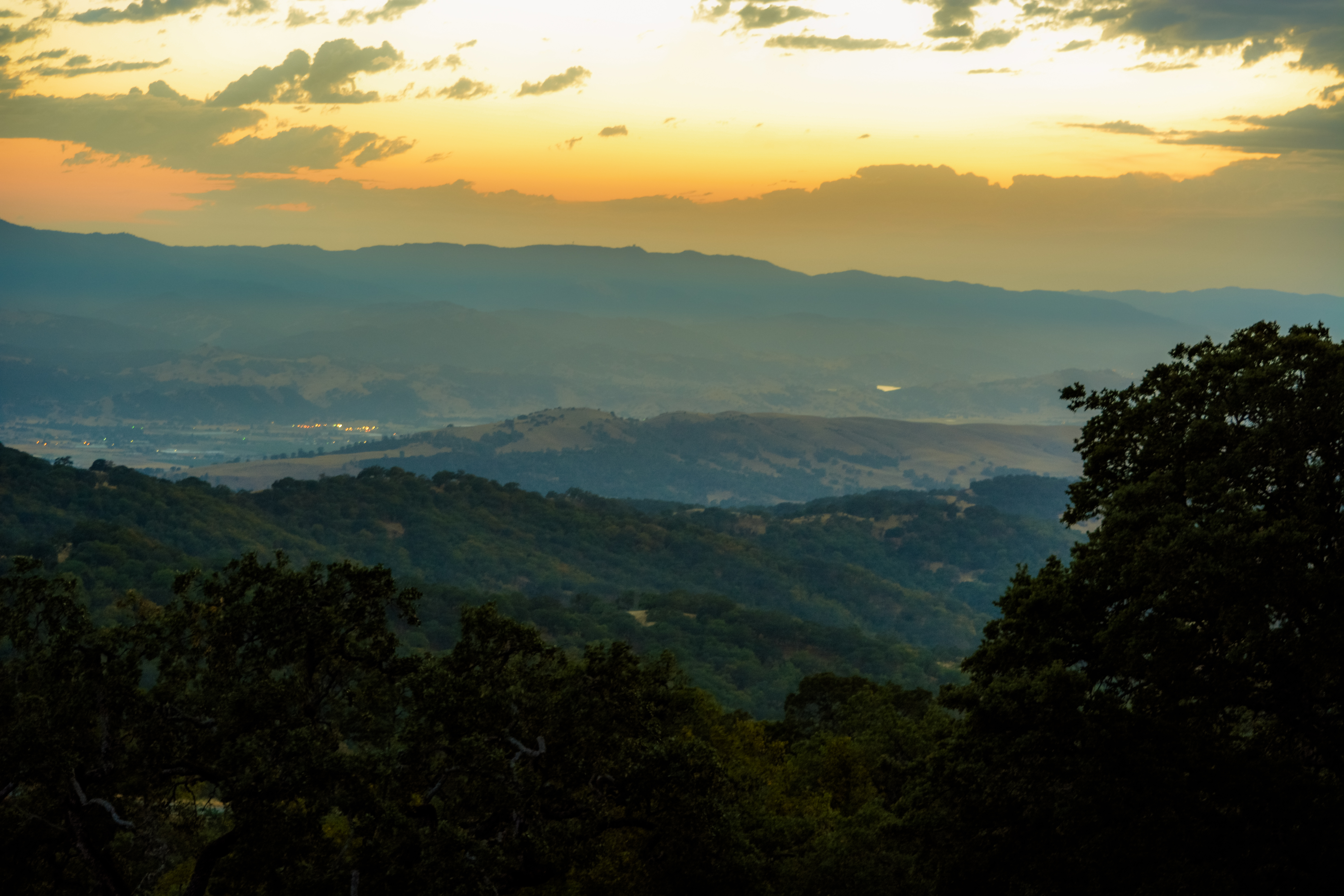
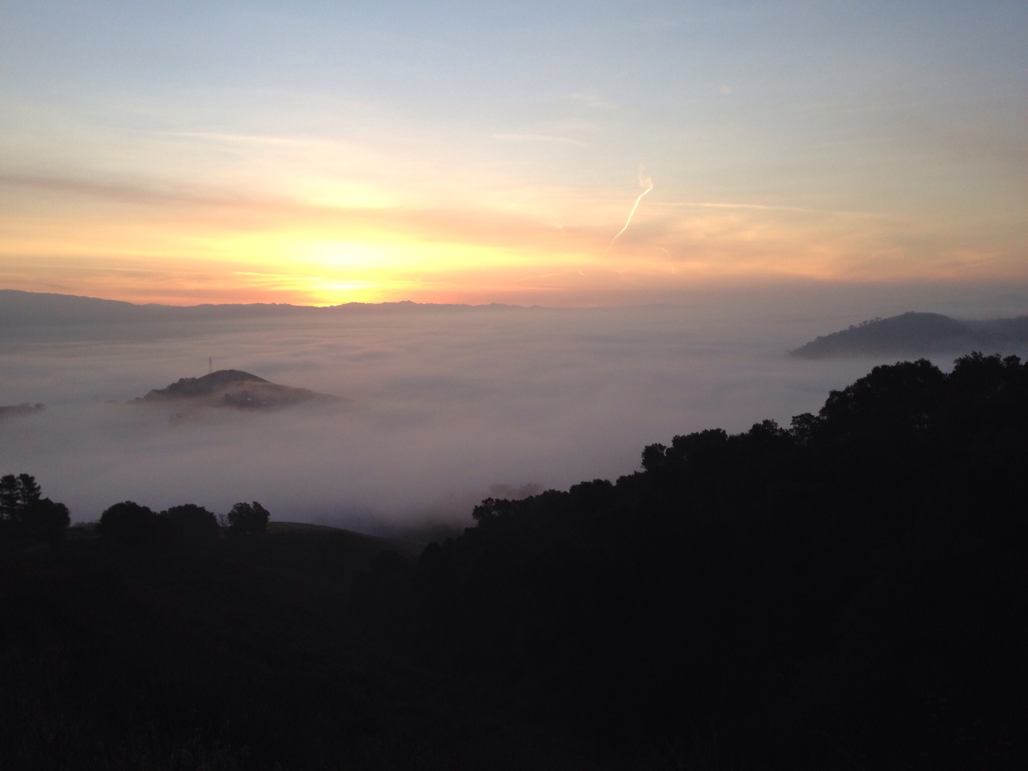
A Valley of Views
Lick the Sunset - San Jose, California, USA

Talk About Sun & Sky To Sons & Daughters...And Quench Their Thirst for Knowledge On Creation..&,,, Mystery's Of Nature,,,,

Above it all

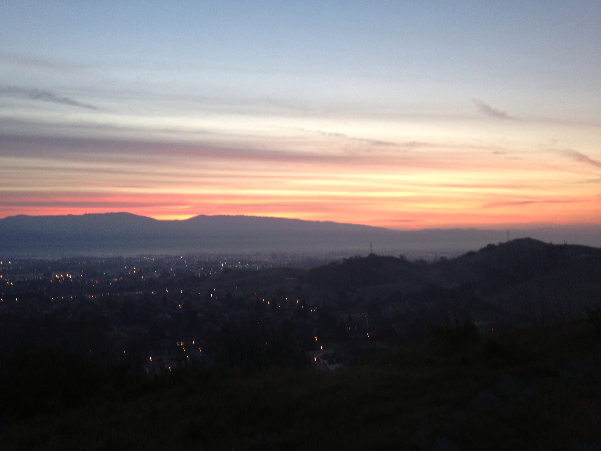
Mount Hamilton Sunset
Lick the Rotation - San Jose, California, USA

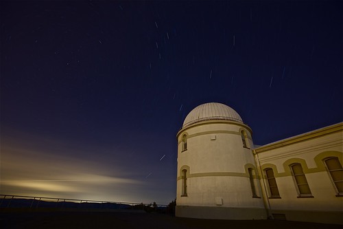
RB_Buildings Round and White
Sunset at Henry Coe State Park
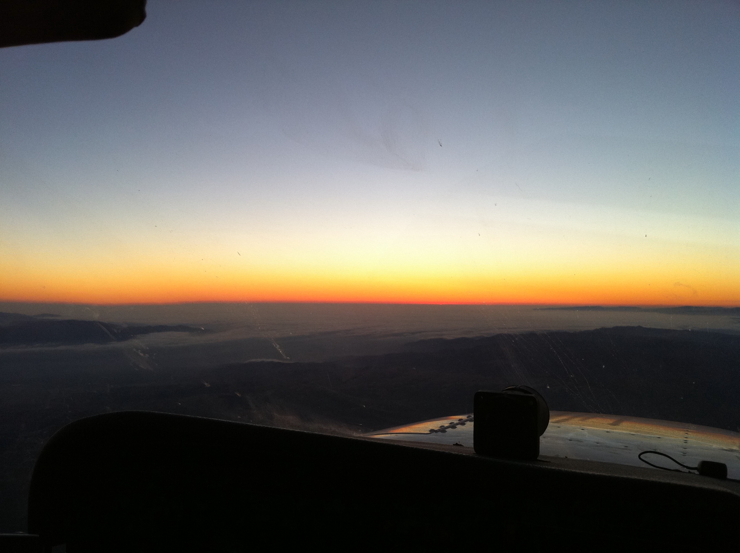
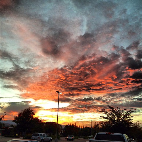
Sunset through the lens of Iphone 4S
Sunset at Harvey Bear Park
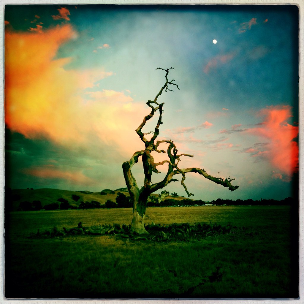
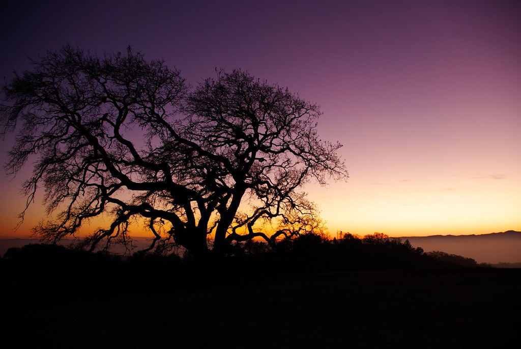
Tree at Sunset

~~CayoteCreek/LowSun #3~~
All Imported-148

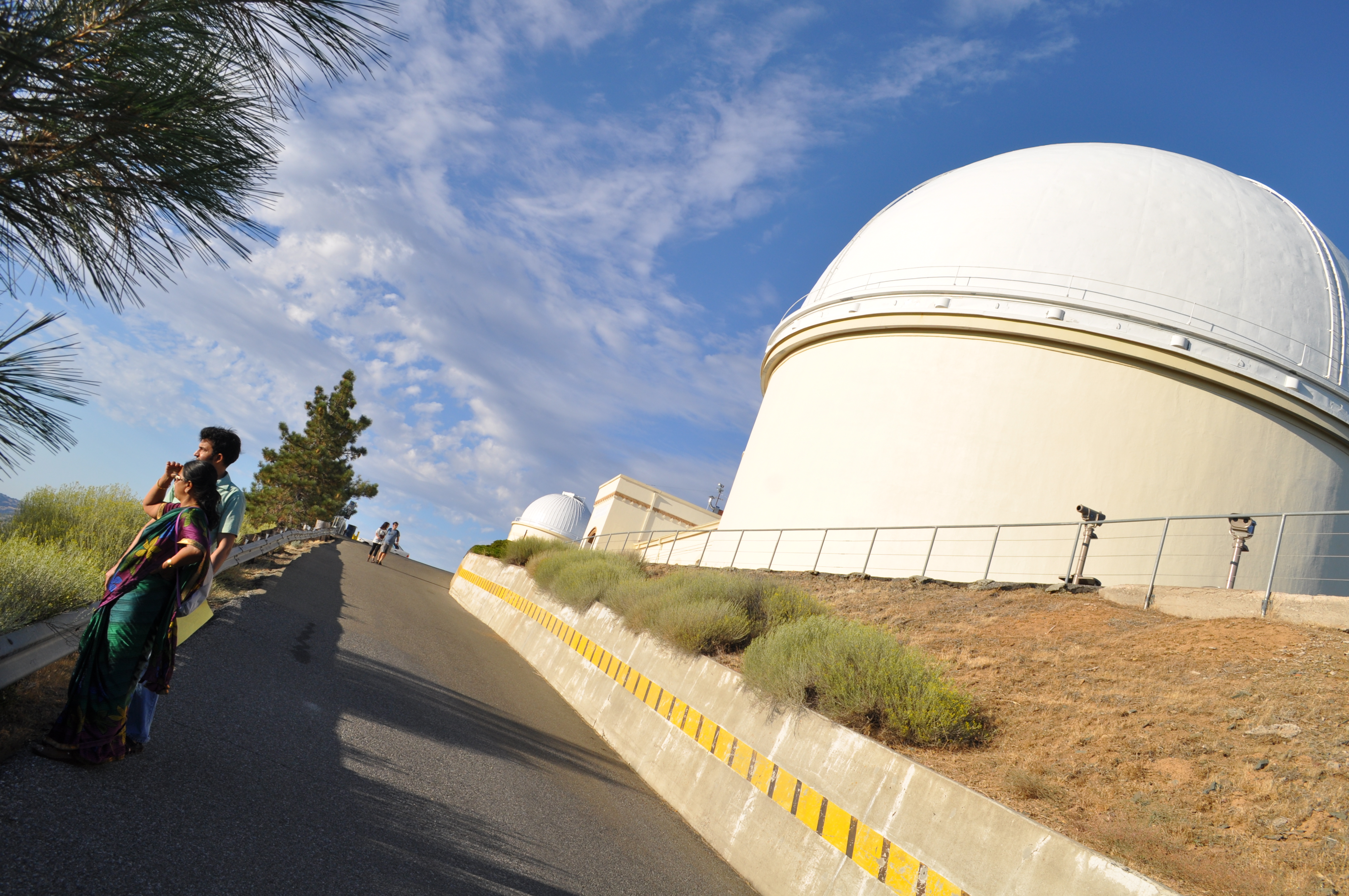
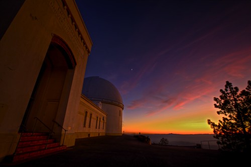
Lick Observatory | Mt. Hamilton, CA
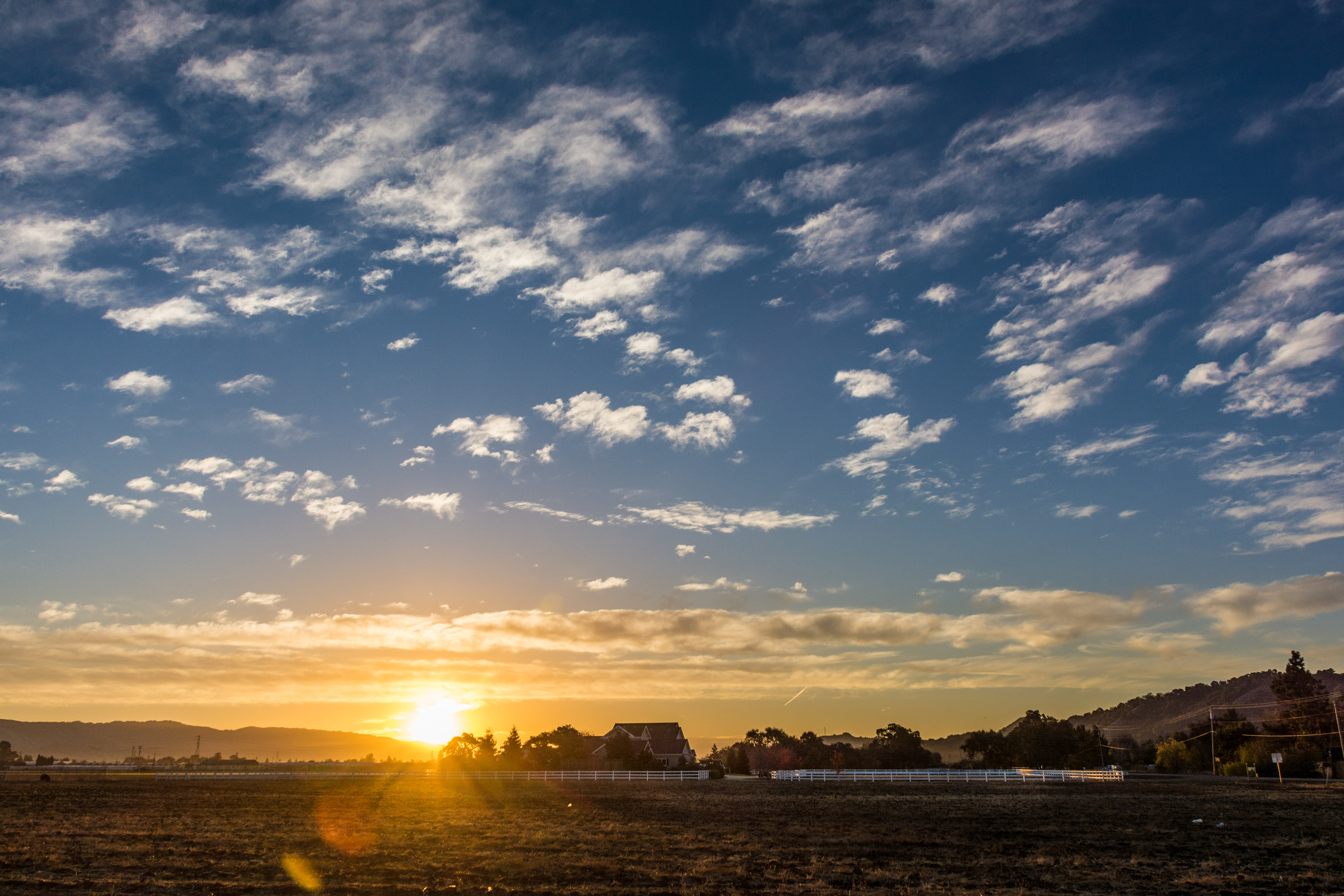
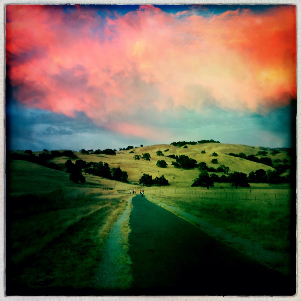
Sunrise in Morgan Hill
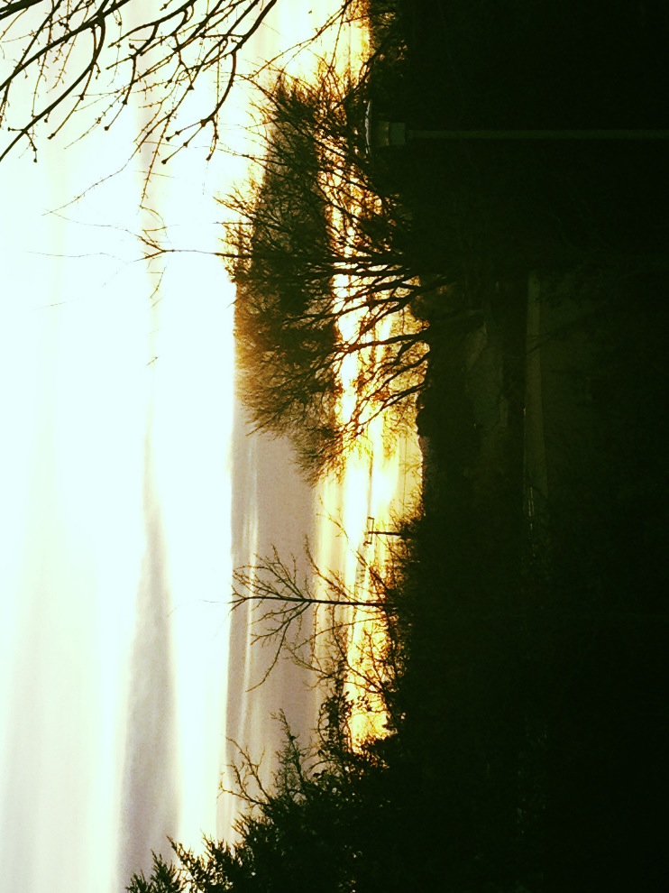
Morgan Hill sunrise
Before the invasion
Morgan Hill sunrise
Post meteor shower Sunrise
A Saturday Sunrise

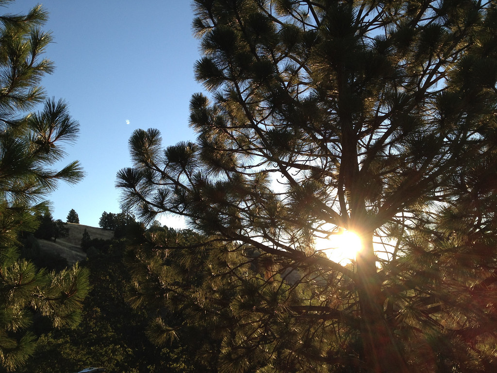
Tree at Sunrise, Mt Hamilton

Fiery Concoction

Sunrise at Mt Hamilton
Morgan Hill, CA

Twisting Drive

south of Coyote Creek golf course, off 101
Camping at Coe State Park - Sunrise
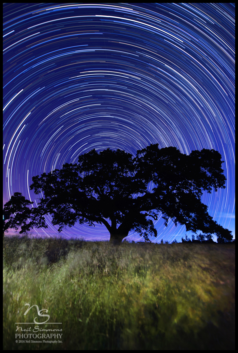
Star Trails Henry Coe State Park
Morning: sunrise.
Raleigh scattering...
Morgan Hill, CA
Mapa de Morgan Hill, California, EE. UU.
Buscar otro lugar
Lugares cercanos
San Felipe, CA, EE. UU.
E Dunne Ave, Morgan Hill, CA, EE. UU.
Manzanita Dr, Morgan Hill, CA, EE. UU.
Anderson Dam Trail, Morgan Hill, CA, EE. UU.
Ridgeview Ct, Morgan Hill, CA, EE. UU.
Manzanita Point Camps, California, EE. UU.
Eagle View Drive, Eagle View Dr, Morgan Hill, CA, EE. UU.
Cimarron Dr, Morgan Hill, CA, EE. UU.
Rising Sun Drive, Morgan Hill, CA, EE. UU.
Target, Cochrane Rd, Morgan Hill, CA, EE. UU.
Walnut Grove Dr, Morgan Hill, CA, EE. UU.
Metcalf Rd, San Jose, CA, EE. UU.
Calle Viento, Morgan Hill, CA, EE. UU.
Markross Ct, Morgan Hill, CA, EE. UU.
Diana Ave, Morgan Hill, CA, EE. UU.
Center Ave, San Martin, CA, EE. UU.
Monterey Rd, Morgan Hill, CA, EE. UU.
Columbet Ave, San Martin, CA, EE. UU.
San Felipe Rd, San Jose, CA, EE. UU.
Morgan Hill, California, EE. UU.
Búsquedas recientes
- Horas de salida y puesta de sol de Red Dog Mine, AK, USA
- Horas de salida y puesta de sol de Am Bahnhof, Am bhf, Borken, Germany
- Horas de salida y puesta de sol de 4th St E, Sonoma, CA, EE. UU.
- Horas de salida y puesta de sol de Oakland Ave, Williamsport, PA, EE. UU.
- Horas de salida y puesta de sol de Via Roma, Pieranica CR, Italia
- Horas de salida y puesta de sol de Torre del reloj, Grad, Dubrovnik (Ragusa), Croacia
- Horas de salida y puesta de sol de Trelew, Chubut, Argentina
- Horas de salida y puesta de sol de Hartfords Bluff Cir, Mt Pleasant, SC, EE. UU.
- Horas de salida y puesta de sol de Kita Ward, Kumamoto, Japón
- Horas de salida y puesta de sol de Pingtan Island, Pingtan County, Fuzhou, China