Horas de salida y puesta de sol de Condado de Fremont, Idaho, EE. UU.
Location: Estados Unidos > Idaho >
Zona horaria:
America/Denver
Hora local:
2025-06-22 08:33:50
Longitud:
-111.4790031
Latitud:
44.2242743
Salida de sol de hoy:
05:42:39 AM
Puesta de sol de hoy:
09:13:34 PM
La duración del día hoy:
15h 30m 55s
Salida de sol de mañana:
05:42:57 AM
Puesta de sol de mañana:
09:13:42 PM
La duración del día mañana:
15h 30m 45s
Mostrar todas las fechas
| Fecha | Salida de sol | Puesta de sol | Duración del día |
|---|---|---|---|
| 01/01/2025 | 08:01:20 AM | 04:58:53 PM | 8h 57m 33s |
| 02/01/2025 | 08:01:18 AM | 04:59:50 PM | 8h 58m 32s |
| 03/01/2025 | 08:01:14 AM | 05:00:48 PM | 8h 59m 34s |
| 04/01/2025 | 08:01:07 AM | 05:01:48 PM | 9h 0m 41s |
| 05/01/2025 | 08:00:58 AM | 05:02:50 PM | 9h 1m 52s |
| 06/01/2025 | 08:00:46 AM | 05:03:54 PM | 9h 3m 8s |
| 07/01/2025 | 08:00:32 AM | 05:04:58 PM | 9h 4m 26s |
| 08/01/2025 | 08:00:15 AM | 05:06:05 PM | 9h 5m 50s |
| 09/01/2025 | 07:59:56 AM | 05:07:13 PM | 9h 7m 17s |
| 10/01/2025 | 07:59:34 AM | 05:08:22 PM | 9h 8m 48s |
| 11/01/2025 | 07:59:10 AM | 05:09:32 PM | 9h 10m 22s |
| 12/01/2025 | 07:58:43 AM | 05:10:43 PM | 9h 12m 0s |
| 13/01/2025 | 07:58:14 AM | 05:11:56 PM | 9h 13m 42s |
| 14/01/2025 | 07:57:43 AM | 05:13:10 PM | 9h 15m 27s |
| 15/01/2025 | 07:57:09 AM | 05:14:24 PM | 9h 17m 15s |
| 16/01/2025 | 07:56:33 AM | 05:15:40 PM | 9h 19m 7s |
| 17/01/2025 | 07:55:54 AM | 05:16:57 PM | 9h 21m 3s |
| 18/01/2025 | 07:55:13 AM | 05:18:14 PM | 9h 23m 1s |
| 19/01/2025 | 07:54:30 AM | 05:19:32 PM | 9h 25m 2s |
| 20/01/2025 | 07:53:45 AM | 05:20:51 PM | 9h 27m 6s |
| 21/01/2025 | 07:52:58 AM | 05:22:10 PM | 9h 29m 12s |
| 22/01/2025 | 07:52:08 AM | 05:23:31 PM | 9h 31m 23s |
| 23/01/2025 | 07:51:16 AM | 05:24:51 PM | 9h 33m 35s |
| 24/01/2025 | 07:50:22 AM | 05:26:12 PM | 9h 35m 50s |
| 25/01/2025 | 07:49:27 AM | 05:27:34 PM | 9h 38m 7s |
| 26/01/2025 | 07:48:29 AM | 05:28:56 PM | 9h 40m 27s |
| 27/01/2025 | 07:47:29 AM | 05:30:18 PM | 9h 42m 49s |
| 28/01/2025 | 07:46:27 AM | 05:31:41 PM | 9h 45m 14s |
| 29/01/2025 | 07:45:23 AM | 05:33:04 PM | 9h 47m 41s |
| 30/01/2025 | 07:44:18 AM | 05:34:27 PM | 9h 50m 9s |
| 31/01/2025 | 07:43:10 AM | 05:35:51 PM | 9h 52m 41s |
| 01/02/2025 | 07:42:01 AM | 05:37:14 PM | 9h 55m 13s |
| 02/02/2025 | 07:40:50 AM | 05:38:38 PM | 9h 57m 48s |
| 03/02/2025 | 07:39:38 AM | 05:40:01 PM | 10h 0m 23s |
| 04/02/2025 | 07:38:24 AM | 05:41:25 PM | 10h 3m 1s |
| 05/02/2025 | 07:37:08 AM | 05:42:49 PM | 10h 5m 41s |
| 06/02/2025 | 07:35:50 AM | 05:44:13 PM | 10h 8m 23s |
| 07/02/2025 | 07:34:31 AM | 05:45:36 PM | 10h 11m 5s |
| 08/02/2025 | 07:33:11 AM | 05:47:00 PM | 10h 13m 49s |
| 09/02/2025 | 07:31:49 AM | 05:48:23 PM | 10h 16m 34s |
| 10/02/2025 | 07:30:26 AM | 05:49:47 PM | 10h 19m 21s |
| 11/02/2025 | 07:29:01 AM | 05:51:10 PM | 10h 22m 9s |
| 12/02/2025 | 07:27:35 AM | 05:52:33 PM | 10h 24m 58s |
| 13/02/2025 | 07:26:08 AM | 05:53:56 PM | 10h 27m 48s |
| 14/02/2025 | 07:24:39 AM | 05:55:19 PM | 10h 30m 40s |
| 15/02/2025 | 07:23:09 AM | 05:56:41 PM | 10h 33m 32s |
| 16/02/2025 | 07:21:38 AM | 05:58:03 PM | 10h 36m 25s |
| 17/02/2025 | 07:20:06 AM | 05:59:25 PM | 10h 39m 19s |
| 18/02/2025 | 07:18:33 AM | 06:00:47 PM | 10h 42m 14s |
| 19/02/2025 | 07:16:59 AM | 06:02:09 PM | 10h 45m 10s |
| 20/02/2025 | 07:15:23 AM | 06:03:30 PM | 10h 48m 7s |
| 21/02/2025 | 07:13:47 AM | 06:04:51 PM | 10h 51m 4s |
| 22/02/2025 | 07:12:10 AM | 06:06:12 PM | 10h 54m 2s |
| 23/02/2025 | 07:10:31 AM | 06:07:32 PM | 10h 57m 1s |
| 24/02/2025 | 07:08:52 AM | 06:08:52 PM | 11h 0m 0s |
| 25/02/2025 | 07:07:12 AM | 06:10:12 PM | 11h 3m 0s |
| 26/02/2025 | 07:05:32 AM | 06:11:32 PM | 11h 6m 0s |
| 27/02/2025 | 07:03:50 AM | 06:12:51 PM | 11h 9m 1s |
| 28/02/2025 | 07:02:08 AM | 06:14:10 PM | 11h 12m 2s |
| 01/03/2025 | 07:00:25 AM | 06:15:29 PM | 11h 15m 4s |
| 02/03/2025 | 06:58:41 AM | 06:16:47 PM | 11h 18m 6s |
| 03/03/2025 | 06:56:57 AM | 06:18:05 PM | 11h 21m 8s |
| 04/03/2025 | 06:55:12 AM | 06:19:23 PM | 11h 24m 11s |
| 05/03/2025 | 06:53:27 AM | 06:20:41 PM | 11h 27m 14s |
| 06/03/2025 | 06:51:41 AM | 06:21:58 PM | 11h 30m 17s |
| 07/03/2025 | 06:49:54 AM | 06:23:15 PM | 11h 33m 21s |
| 08/03/2025 | 06:48:07 AM | 06:24:32 PM | 11h 36m 25s |
| 09/03/2025 | 07:46:24 AM | 07:25:45 PM | 11h 39m 21s |
| 10/03/2025 | 07:44:37 AM | 07:27:02 PM | 11h 42m 25s |
| 11/03/2025 | 07:42:48 AM | 07:28:18 PM | 11h 45m 30s |
| 12/03/2025 | 07:41:00 AM | 07:29:34 PM | 11h 48m 34s |
| 13/03/2025 | 07:39:11 AM | 07:30:49 PM | 11h 51m 38s |
| 14/03/2025 | 07:37:22 AM | 07:32:05 PM | 11h 54m 43s |
| 15/03/2025 | 07:35:33 AM | 07:33:20 PM | 11h 57m 47s |
| 16/03/2025 | 07:33:43 AM | 07:34:35 PM | 12h 0m 52s |
| 17/03/2025 | 07:31:53 AM | 07:35:50 PM | 12h 3m 57s |
| 18/03/2025 | 07:30:03 AM | 07:37:05 PM | 12h 7m 2s |
| 19/03/2025 | 07:28:13 AM | 07:38:20 PM | 12h 10m 7s |
| 20/03/2025 | 07:26:23 AM | 07:39:34 PM | 12h 13m 11s |
| 21/03/2025 | 07:24:33 AM | 07:40:48 PM | 12h 16m 15s |
| 22/03/2025 | 07:22:43 AM | 07:42:03 PM | 12h 19m 20s |
| 23/03/2025 | 07:20:53 AM | 07:43:17 PM | 12h 22m 24s |
| 24/03/2025 | 07:19:03 AM | 07:44:31 PM | 12h 25m 28s |
| 25/03/2025 | 07:17:12 AM | 07:45:45 PM | 12h 28m 33s |
| 26/03/2025 | 07:15:22 AM | 07:46:58 PM | 12h 31m 36s |
| 27/03/2025 | 07:13:33 AM | 07:48:12 PM | 12h 34m 39s |
| 28/03/2025 | 07:11:43 AM | 07:49:26 PM | 12h 37m 43s |
| 29/03/2025 | 07:09:53 AM | 07:50:39 PM | 12h 40m 46s |
| 30/03/2025 | 07:08:04 AM | 07:51:53 PM | 12h 43m 49s |
| 31/03/2025 | 07:06:15 AM | 07:53:06 PM | 12h 46m 51s |
| 01/04/2025 | 07:04:26 AM | 07:54:20 PM | 12h 49m 54s |
| 02/04/2025 | 07:02:38 AM | 07:55:33 PM | 12h 52m 55s |
| 03/04/2025 | 07:00:49 AM | 07:56:46 PM | 12h 55m 57s |
| 04/04/2025 | 06:59:02 AM | 07:58:00 PM | 12h 58m 58s |
| 05/04/2025 | 06:57:14 AM | 07:59:13 PM | 13h 1m 59s |
| 06/04/2025 | 06:55:27 AM | 08:00:27 PM | 13h 5m 0s |
| 07/04/2025 | 06:53:41 AM | 08:01:40 PM | 13h 7m 59s |
| 08/04/2025 | 06:51:55 AM | 08:02:53 PM | 13h 10m 58s |
| 09/04/2025 | 06:50:09 AM | 08:04:06 PM | 13h 13m 57s |
| 10/04/2025 | 06:48:25 AM | 08:05:20 PM | 13h 16m 55s |
| 11/04/2025 | 06:46:40 AM | 08:06:33 PM | 13h 19m 53s |
| 12/04/2025 | 06:44:57 AM | 08:07:46 PM | 13h 22m 49s |
| 13/04/2025 | 06:43:14 AM | 08:09:00 PM | 13h 25m 46s |
| 14/04/2025 | 06:41:31 AM | 08:10:13 PM | 13h 28m 42s |
| 15/04/2025 | 06:39:50 AM | 08:11:26 PM | 13h 31m 36s |
| 16/04/2025 | 06:38:09 AM | 08:12:40 PM | 13h 34m 31s |
| 17/04/2025 | 06:36:29 AM | 08:13:53 PM | 13h 37m 24s |
| 18/04/2025 | 06:34:50 AM | 08:15:06 PM | 13h 40m 16s |
| 19/04/2025 | 06:33:12 AM | 08:16:19 PM | 13h 43m 7s |
| 20/04/2025 | 06:31:34 AM | 08:17:33 PM | 13h 45m 59s |
| 21/04/2025 | 06:29:58 AM | 08:18:46 PM | 13h 48m 48s |
| 22/04/2025 | 06:28:22 AM | 08:19:59 PM | 13h 51m 37s |
| 23/04/2025 | 06:26:48 AM | 08:21:12 PM | 13h 54m 24s |
| 24/04/2025 | 06:25:14 AM | 08:22:25 PM | 13h 57m 11s |
| 25/04/2025 | 06:23:42 AM | 08:23:38 PM | 13h 59m 56s |
| 26/04/2025 | 06:22:10 AM | 08:24:51 PM | 14h 2m 41s |
| 27/04/2025 | 06:20:40 AM | 08:26:03 PM | 14h 5m 23s |
| 28/04/2025 | 06:19:11 AM | 08:27:16 PM | 14h 8m 5s |
| 29/04/2025 | 06:17:43 AM | 08:28:28 PM | 14h 10m 45s |
| 30/04/2025 | 06:16:17 AM | 08:29:40 PM | 14h 13m 23s |
| 01/05/2025 | 06:14:52 AM | 08:30:52 PM | 14h 16m 0s |
| 02/05/2025 | 06:13:28 AM | 08:32:04 PM | 14h 18m 36s |
| 03/05/2025 | 06:12:05 AM | 08:33:16 PM | 14h 21m 11s |
| 04/05/2025 | 06:10:44 AM | 08:34:27 PM | 14h 23m 43s |
| 05/05/2025 | 06:09:24 AM | 08:35:38 PM | 14h 26m 14s |
| 06/05/2025 | 06:08:06 AM | 08:36:48 PM | 14h 28m 42s |
| 07/05/2025 | 06:06:49 AM | 08:37:59 PM | 14h 31m 10s |
| 08/05/2025 | 06:05:33 AM | 08:39:09 PM | 14h 33m 36s |
| 09/05/2025 | 06:04:20 AM | 08:40:18 PM | 14h 35m 58s |
| 10/05/2025 | 06:03:07 AM | 08:41:27 PM | 14h 38m 20s |
| 11/05/2025 | 06:01:57 AM | 08:42:36 PM | 14h 40m 39s |
| 12/05/2025 | 06:00:48 AM | 08:43:44 PM | 14h 42m 56s |
| 13/05/2025 | 05:59:41 AM | 08:44:51 PM | 14h 45m 10s |
| 14/05/2025 | 05:58:35 AM | 08:45:58 PM | 14h 47m 23s |
| 15/05/2025 | 05:57:32 AM | 08:47:04 PM | 14h 49m 32s |
| 16/05/2025 | 05:56:30 AM | 08:48:10 PM | 14h 51m 40s |
| 17/05/2025 | 05:55:30 AM | 08:49:15 PM | 14h 53m 45s |
| 18/05/2025 | 05:54:32 AM | 08:50:19 PM | 14h 55m 47s |
| 19/05/2025 | 05:53:35 AM | 08:51:22 PM | 14h 57m 47s |
| 20/05/2025 | 05:52:41 AM | 08:52:24 PM | 14h 59m 43s |
| 21/05/2025 | 05:51:48 AM | 08:53:26 PM | 15h 1m 38s |
| 22/05/2025 | 05:50:58 AM | 08:54:26 PM | 15h 3m 28s |
| 23/05/2025 | 05:50:10 AM | 08:55:26 PM | 15h 5m 16s |
| 24/05/2025 | 05:49:23 AM | 08:56:24 PM | 15h 7m 1s |
| 25/05/2025 | 05:48:39 AM | 08:57:22 PM | 15h 8m 43s |
| 26/05/2025 | 05:47:57 AM | 08:58:18 PM | 15h 10m 21s |
| 27/05/2025 | 05:47:16 AM | 08:59:13 PM | 15h 11m 57s |
| 28/05/2025 | 05:46:38 AM | 09:00:07 PM | 15h 13m 29s |
| 29/05/2025 | 05:46:03 AM | 09:01:00 PM | 15h 14m 57s |
| 30/05/2025 | 05:45:29 AM | 09:01:51 PM | 15h 16m 22s |
| 31/05/2025 | 05:44:57 AM | 09:02:41 PM | 15h 17m 44s |
| 01/06/2025 | 05:44:28 AM | 09:03:29 PM | 15h 19m 1s |
| 02/06/2025 | 05:44:01 AM | 09:04:16 PM | 15h 20m 15s |
| 03/06/2025 | 05:43:36 AM | 09:05:02 PM | 15h 21m 26s |
| 04/06/2025 | 05:43:13 AM | 09:05:46 PM | 15h 22m 33s |
| 05/06/2025 | 05:42:53 AM | 09:06:28 PM | 15h 23m 35s |
| 06/06/2025 | 05:42:35 AM | 09:07:09 PM | 15h 24m 34s |
| 07/06/2025 | 05:42:19 AM | 09:07:48 PM | 15h 25m 29s |
| 08/06/2025 | 05:42:05 AM | 09:08:25 PM | 15h 26m 20s |
| 09/06/2025 | 05:41:54 AM | 09:09:00 PM | 15h 27m 6s |
| 10/06/2025 | 05:41:45 AM | 09:09:34 PM | 15h 27m 49s |
| 11/06/2025 | 05:41:38 AM | 09:10:05 PM | 15h 28m 27s |
| 12/06/2025 | 05:41:34 AM | 09:10:35 PM | 15h 29m 1s |
| 13/06/2025 | 05:41:31 AM | 09:11:03 PM | 15h 29m 32s |
| 14/06/2025 | 05:41:31 AM | 09:11:28 PM | 15h 29m 57s |
| 15/06/2025 | 05:41:33 AM | 09:11:52 PM | 15h 30m 19s |
| 16/06/2025 | 05:41:38 AM | 09:12:14 PM | 15h 30m 36s |
| 17/06/2025 | 05:41:44 AM | 09:12:33 PM | 15h 30m 49s |
| 18/06/2025 | 05:41:53 AM | 09:12:51 PM | 15h 30m 58s |
| 19/06/2025 | 05:42:04 AM | 09:13:06 PM | 15h 31m 2s |
| 20/06/2025 | 05:42:17 AM | 09:13:19 PM | 15h 31m 2s |
| 21/06/2025 | 05:42:32 AM | 09:13:30 PM | 15h 30m 58s |
| 22/06/2025 | 05:42:49 AM | 09:13:39 PM | 15h 30m 50s |
| 23/06/2025 | 05:43:08 AM | 09:13:46 PM | 15h 30m 38s |
| 24/06/2025 | 05:43:29 AM | 09:13:50 PM | 15h 30m 21s |
| 25/06/2025 | 05:43:53 AM | 09:13:52 PM | 15h 29m 59s |
| 26/06/2025 | 05:44:18 AM | 09:13:52 PM | 15h 29m 34s |
| 27/06/2025 | 05:44:45 AM | 09:13:49 PM | 15h 29m 4s |
| 28/06/2025 | 05:45:14 AM | 09:13:44 PM | 15h 28m 30s |
| 29/06/2025 | 05:45:45 AM | 09:13:37 PM | 15h 27m 52s |
| 30/06/2025 | 05:46:17 AM | 09:13:27 PM | 15h 27m 10s |
| 01/07/2025 | 05:46:52 AM | 09:13:16 PM | 15h 26m 24s |
| 02/07/2025 | 05:47:28 AM | 09:13:02 PM | 15h 25m 34s |
| 03/07/2025 | 05:48:06 AM | 09:12:45 PM | 15h 24m 39s |
| 04/07/2025 | 05:48:45 AM | 09:12:27 PM | 15h 23m 42s |
| 05/07/2025 | 05:49:26 AM | 09:12:06 PM | 15h 22m 40s |
| 06/07/2025 | 05:50:09 AM | 09:11:42 PM | 15h 21m 33s |
| 07/07/2025 | 05:50:53 AM | 09:11:17 PM | 15h 20m 24s |
| 08/07/2025 | 05:51:38 AM | 09:10:49 PM | 15h 19m 11s |
| 09/07/2025 | 05:52:25 AM | 09:10:19 PM | 15h 17m 54s |
| 10/07/2025 | 05:53:13 AM | 09:09:47 PM | 15h 16m 34s |
| 11/07/2025 | 05:54:03 AM | 09:09:12 PM | 15h 15m 9s |
| 12/07/2025 | 05:54:54 AM | 09:08:36 PM | 15h 13m 42s |
| 13/07/2025 | 05:55:46 AM | 09:07:57 PM | 15h 12m 11s |
| 14/07/2025 | 05:56:39 AM | 09:07:16 PM | 15h 10m 37s |
| 15/07/2025 | 05:57:33 AM | 09:06:32 PM | 15h 8m 59s |
| 16/07/2025 | 05:58:29 AM | 09:05:47 PM | 15h 7m 18s |
| 17/07/2025 | 05:59:25 AM | 09:05:00 PM | 15h 5m 35s |
| 18/07/2025 | 06:00:22 AM | 09:04:11 PM | 15h 3m 49s |
| 19/07/2025 | 06:01:20 AM | 09:03:19 PM | 15h 1m 59s |
| 20/07/2025 | 06:02:20 AM | 09:02:26 PM | 15h 0m 6s |
| 21/07/2025 | 06:03:19 AM | 09:01:30 PM | 14h 58m 11s |
| 22/07/2025 | 06:04:20 AM | 09:00:33 PM | 14h 56m 13s |
| 23/07/2025 | 06:05:22 AM | 08:59:34 PM | 14h 54m 12s |
| 24/07/2025 | 06:06:24 AM | 08:58:33 PM | 14h 52m 9s |
| 25/07/2025 | 06:07:27 AM | 08:57:30 PM | 14h 50m 3s |
| 26/07/2025 | 06:08:30 AM | 08:56:25 PM | 14h 47m 55s |
| 27/07/2025 | 06:09:34 AM | 08:55:18 PM | 14h 45m 44s |
| 28/07/2025 | 06:10:38 AM | 08:54:10 PM | 14h 43m 32s |
| 29/07/2025 | 06:11:43 AM | 08:53:00 PM | 14h 41m 17s |
| 30/07/2025 | 06:12:49 AM | 08:51:48 PM | 14h 38m 59s |
| 31/07/2025 | 06:13:55 AM | 08:50:35 PM | 14h 36m 40s |
| 01/08/2025 | 06:15:01 AM | 08:49:20 PM | 14h 34m 19s |
| 02/08/2025 | 06:16:08 AM | 08:48:04 PM | 14h 31m 56s |
| 03/08/2025 | 06:17:15 AM | 08:46:46 PM | 14h 29m 31s |
| 04/08/2025 | 06:18:22 AM | 08:45:26 PM | 14h 27m 4s |
| 05/08/2025 | 06:19:30 AM | 08:44:05 PM | 14h 24m 35s |
| 06/08/2025 | 06:20:37 AM | 08:42:43 PM | 14h 22m 6s |
| 07/08/2025 | 06:21:45 AM | 08:41:19 PM | 14h 19m 34s |
| 08/08/2025 | 06:22:54 AM | 08:39:54 PM | 14h 17m 0s |
| 09/08/2025 | 06:24:02 AM | 08:38:27 PM | 14h 14m 25s |
| 10/08/2025 | 06:25:10 AM | 08:36:59 PM | 14h 11m 49s |
| 11/08/2025 | 06:26:19 AM | 08:35:30 PM | 14h 9m 11s |
| 12/08/2025 | 06:27:28 AM | 08:34:00 PM | 14h 6m 32s |
| 13/08/2025 | 06:28:37 AM | 08:32:28 PM | 14h 3m 51s |
| 14/08/2025 | 06:29:46 AM | 08:30:56 PM | 14h 1m 10s |
| 15/08/2025 | 06:30:55 AM | 08:29:22 PM | 13h 58m 27s |
| 16/08/2025 | 06:32:04 AM | 08:27:47 PM | 13h 55m 43s |
| 17/08/2025 | 06:33:13 AM | 08:26:11 PM | 13h 52m 58s |
| 18/08/2025 | 06:34:22 AM | 08:24:35 PM | 13h 50m 13s |
| 19/08/2025 | 06:35:31 AM | 08:22:57 PM | 13h 47m 26s |
| 20/08/2025 | 06:36:40 AM | 08:21:18 PM | 13h 44m 38s |
| 21/08/2025 | 06:37:49 AM | 08:19:38 PM | 13h 41m 49s |
| 22/08/2025 | 06:38:58 AM | 08:17:58 PM | 13h 39m 0s |
| 23/08/2025 | 06:40:07 AM | 08:16:16 PM | 13h 36m 9s |
| 24/08/2025 | 06:41:16 AM | 08:14:34 PM | 13h 33m 18s |
| 25/08/2025 | 06:42:25 AM | 08:12:51 PM | 13h 30m 26s |
| 26/08/2025 | 06:43:34 AM | 08:11:07 PM | 13h 27m 33s |
| 27/08/2025 | 06:44:43 AM | 08:09:23 PM | 13h 24m 40s |
| 28/08/2025 | 06:45:52 AM | 08:07:38 PM | 13h 21m 46s |
| 29/08/2025 | 06:47:01 AM | 08:05:52 PM | 13h 18m 51s |
| 30/08/2025 | 06:48:10 AM | 08:04:06 PM | 13h 15m 56s |
| 31/08/2025 | 06:49:19 AM | 08:02:19 PM | 13h 13m 0s |
| 01/09/2025 | 06:50:28 AM | 08:00:31 PM | 13h 10m 3s |
| 02/09/2025 | 06:51:37 AM | 07:58:43 PM | 13h 7m 6s |
| 03/09/2025 | 06:52:45 AM | 07:56:55 PM | 13h 4m 10s |
| 04/09/2025 | 06:53:54 AM | 07:55:06 PM | 13h 1m 12s |
| 05/09/2025 | 06:55:03 AM | 07:53:16 PM | 12h 58m 13s |
| 06/09/2025 | 06:56:12 AM | 07:51:27 PM | 12h 55m 15s |
| 07/09/2025 | 06:57:20 AM | 07:49:37 PM | 12h 52m 17s |
| 08/09/2025 | 06:58:29 AM | 07:47:46 PM | 12h 49m 17s |
| 09/09/2025 | 06:59:38 AM | 07:45:55 PM | 12h 46m 17s |
| 10/09/2025 | 07:00:47 AM | 07:44:04 PM | 12h 43m 17s |
| 11/09/2025 | 07:01:56 AM | 07:42:13 PM | 12h 40m 17s |
| 12/09/2025 | 07:03:05 AM | 07:40:22 PM | 12h 37m 17s |
| 13/09/2025 | 07:04:13 AM | 07:38:30 PM | 12h 34m 17s |
| 14/09/2025 | 07:05:22 AM | 07:36:38 PM | 12h 31m 16s |
| 15/09/2025 | 07:06:31 AM | 07:34:46 PM | 12h 28m 15s |
| 16/09/2025 | 07:07:41 AM | 07:32:54 PM | 12h 25m 13s |
| 17/09/2025 | 07:08:50 AM | 07:31:02 PM | 12h 22m 12s |
| 18/09/2025 | 07:09:59 AM | 07:29:10 PM | 12h 19m 11s |
| 19/09/2025 | 07:11:09 AM | 07:27:18 PM | 12h 16m 9s |
| 20/09/2025 | 07:12:18 AM | 07:25:25 PM | 12h 13m 7s |
| 21/09/2025 | 07:13:28 AM | 07:23:33 PM | 12h 10m 5s |
| 22/09/2025 | 07:14:38 AM | 07:21:41 PM | 12h 7m 3s |
| 23/09/2025 | 07:15:48 AM | 07:19:50 PM | 12h 4m 2s |
| 24/09/2025 | 07:16:58 AM | 07:17:58 PM | 12h 1m 0s |
| 25/09/2025 | 07:18:08 AM | 07:16:06 PM | 11h 57m 58s |
| 26/09/2025 | 07:19:19 AM | 07:14:15 PM | 11h 54m 56s |
| 27/09/2025 | 07:20:29 AM | 07:12:24 PM | 11h 51m 55s |
| 28/09/2025 | 07:21:40 AM | 07:10:33 PM | 11h 48m 53s |
| 29/09/2025 | 07:22:52 AM | 07:08:43 PM | 11h 45m 51s |
| 30/09/2025 | 07:24:03 AM | 07:06:53 PM | 11h 42m 50s |
| 01/10/2025 | 07:25:14 AM | 07:05:03 PM | 11h 39m 49s |
| 02/10/2025 | 07:26:26 AM | 07:03:13 PM | 11h 36m 47s |
| 03/10/2025 | 07:27:38 AM | 07:01:24 PM | 11h 33m 46s |
| 04/10/2025 | 07:28:51 AM | 06:59:36 PM | 11h 30m 45s |
| 05/10/2025 | 07:30:03 AM | 06:57:48 PM | 11h 27m 45s |
| 06/10/2025 | 07:31:16 AM | 06:56:00 PM | 11h 24m 44s |
| 07/10/2025 | 07:32:29 AM | 06:54:14 PM | 11h 21m 45s |
| 08/10/2025 | 07:33:43 AM | 06:52:27 PM | 11h 18m 44s |
| 09/10/2025 | 07:34:57 AM | 06:50:41 PM | 11h 15m 44s |
| 10/10/2025 | 07:36:11 AM | 06:48:56 PM | 11h 12m 45s |
| 11/10/2025 | 07:37:25 AM | 06:47:12 PM | 11h 9m 47s |
| 12/10/2025 | 07:38:40 AM | 06:45:28 PM | 11h 6m 48s |
| 13/10/2025 | 07:39:55 AM | 06:43:45 PM | 11h 3m 50s |
| 14/10/2025 | 07:41:10 AM | 06:42:03 PM | 11h 0m 53s |
| 15/10/2025 | 07:42:26 AM | 06:40:22 PM | 10h 57m 56s |
| 16/10/2025 | 07:43:42 AM | 06:38:42 PM | 10h 55m 0s |
| 17/10/2025 | 07:44:58 AM | 06:37:02 PM | 10h 52m 4s |
| 18/10/2025 | 07:46:14 AM | 06:35:24 PM | 10h 49m 10s |
| 19/10/2025 | 07:47:31 AM | 06:33:46 PM | 10h 46m 15s |
| 20/10/2025 | 07:48:48 AM | 06:32:09 PM | 10h 43m 21s |
| 21/10/2025 | 07:50:06 AM | 06:30:34 PM | 10h 40m 28s |
| 22/10/2025 | 07:51:23 AM | 06:28:59 PM | 10h 37m 36s |
| 23/10/2025 | 07:52:41 AM | 06:27:26 PM | 10h 34m 45s |
| 24/10/2025 | 07:54:00 AM | 06:25:54 PM | 10h 31m 54s |
| 25/10/2025 | 07:55:18 AM | 06:24:23 PM | 10h 29m 5s |
| 26/10/2025 | 07:56:37 AM | 06:22:53 PM | 10h 26m 16s |
| 27/10/2025 | 07:57:56 AM | 06:21:24 PM | 10h 23m 28s |
| 28/10/2025 | 07:59:15 AM | 06:19:57 PM | 10h 20m 42s |
| 29/10/2025 | 08:00:35 AM | 06:18:31 PM | 10h 17m 56s |
| 30/10/2025 | 08:01:54 AM | 06:17:07 PM | 10h 15m 13s |
| 31/10/2025 | 08:03:14 AM | 06:15:44 PM | 10h 12m 30s |
| 01/11/2025 | 08:04:34 AM | 06:14:22 PM | 10h 9m 48s |
| 02/11/2025 | 07:05:57 AM | 05:12:59 PM | 10h 7m 2s |
| 03/11/2025 | 07:07:17 AM | 05:11:40 PM | 10h 4m 23s |
| 04/11/2025 | 07:08:37 AM | 05:10:24 PM | 10h 1m 47s |
| 05/11/2025 | 07:09:58 AM | 05:09:08 PM | 9h 59m 10s |
| 06/11/2025 | 07:11:18 AM | 05:07:55 PM | 9h 56m 37s |
| 07/11/2025 | 07:12:38 AM | 05:06:43 PM | 9h 54m 5s |
| 08/11/2025 | 07:13:58 AM | 05:05:33 PM | 9h 51m 35s |
| 09/11/2025 | 07:15:18 AM | 05:04:24 PM | 9h 49m 6s |
| 10/11/2025 | 07:16:38 AM | 05:03:18 PM | 9h 46m 40s |
| 11/11/2025 | 07:17:58 AM | 05:02:13 PM | 9h 44m 15s |
| 12/11/2025 | 07:19:17 AM | 05:01:11 PM | 9h 41m 54s |
| 13/11/2025 | 07:20:36 AM | 05:00:10 PM | 9h 39m 34s |
| 14/11/2025 | 07:21:55 AM | 04:59:11 PM | 9h 37m 16s |
| 15/11/2025 | 07:23:14 AM | 04:58:14 PM | 9h 35m 0s |
| 16/11/2025 | 07:24:32 AM | 04:57:20 PM | 9h 32m 48s |
| 17/11/2025 | 07:25:50 AM | 04:56:27 PM | 9h 30m 37s |
| 18/11/2025 | 07:27:07 AM | 04:55:37 PM | 9h 28m 30s |
| 19/11/2025 | 07:28:24 AM | 04:54:48 PM | 9h 26m 24s |
| 20/11/2025 | 07:29:40 AM | 04:54:02 PM | 9h 24m 22s |
| 21/11/2025 | 07:30:56 AM | 04:53:19 PM | 9h 22m 23s |
| 22/11/2025 | 07:32:11 AM | 04:52:37 PM | 9h 20m 26s |
| 23/11/2025 | 07:33:25 AM | 04:51:58 PM | 9h 18m 33s |
| 24/11/2025 | 07:34:38 AM | 04:51:21 PM | 9h 16m 43s |
| 25/11/2025 | 07:35:50 AM | 04:50:46 PM | 9h 14m 56s |
| 26/11/2025 | 07:37:02 AM | 04:50:14 PM | 9h 13m 12s |
| 27/11/2025 | 07:38:12 AM | 04:49:45 PM | 9h 11m 33s |
| 28/11/2025 | 07:39:21 AM | 04:49:17 PM | 9h 9m 56s |
| 29/11/2025 | 07:40:30 AM | 04:48:53 PM | 9h 8m 23s |
| 30/11/2025 | 07:41:37 AM | 04:48:30 PM | 9h 6m 53s |
| 01/12/2025 | 07:42:42 AM | 04:48:10 PM | 9h 5m 28s |
| 02/12/2025 | 07:43:47 AM | 04:47:53 PM | 9h 4m 6s |
| 03/12/2025 | 07:44:50 AM | 04:47:39 PM | 9h 2m 49s |
| 04/12/2025 | 07:45:52 AM | 04:47:26 PM | 9h 1m 34s |
| 05/12/2025 | 07:46:52 AM | 04:47:17 PM | 9h 0m 25s |
| 06/12/2025 | 07:47:51 AM | 04:47:10 PM | 8h 59m 19s |
| 07/12/2025 | 07:48:48 AM | 04:47:05 PM | 8h 58m 17s |
| 08/12/2025 | 07:49:43 AM | 04:47:04 PM | 8h 57m 21s |
| 09/12/2025 | 07:50:36 AM | 04:47:04 PM | 8h 56m 28s |
| 10/12/2025 | 07:51:28 AM | 04:47:08 PM | 8h 55m 40s |
| 11/12/2025 | 07:52:18 AM | 04:47:14 PM | 8h 54m 56s |
| 12/12/2025 | 07:53:06 AM | 04:47:22 PM | 8h 54m 16s |
| 13/12/2025 | 07:53:52 AM | 04:47:33 PM | 8h 53m 41s |
| 14/12/2025 | 07:54:36 AM | 04:47:47 PM | 8h 53m 11s |
| 15/12/2025 | 07:55:18 AM | 04:48:03 PM | 8h 52m 45s |
| 16/12/2025 | 07:55:58 AM | 04:48:22 PM | 8h 52m 24s |
| 17/12/2025 | 07:56:36 AM | 04:48:43 PM | 8h 52m 7s |
| 18/12/2025 | 07:57:12 AM | 04:49:07 PM | 8h 51m 55s |
| 19/12/2025 | 07:57:45 AM | 04:49:33 PM | 8h 51m 48s |
| 20/12/2025 | 07:58:16 AM | 04:50:02 PM | 8h 51m 46s |
| 21/12/2025 | 07:58:45 AM | 04:50:33 PM | 8h 51m 48s |
| 22/12/2025 | 07:59:11 AM | 04:51:06 PM | 8h 51m 55s |
| 23/12/2025 | 07:59:35 AM | 04:51:42 PM | 8h 52m 7s |
| 24/12/2025 | 07:59:56 AM | 04:52:20 PM | 8h 52m 24s |
| 25/12/2025 | 08:00:16 AM | 04:53:00 PM | 8h 52m 44s |
| 26/12/2025 | 08:00:32 AM | 04:53:42 PM | 8h 53m 10s |
| 27/12/2025 | 08:00:46 AM | 04:54:27 PM | 8h 53m 41s |
| 28/12/2025 | 08:00:58 AM | 04:55:13 PM | 8h 54m 15s |
| 29/12/2025 | 08:01:07 AM | 04:56:02 PM | 8h 54m 55s |
| 30/12/2025 | 08:01:14 AM | 04:56:52 PM | 8h 55m 38s |
| 31/12/2025 | 08:01:18 AM | 04:57:45 PM | 8h 56m 27s |
Fotos
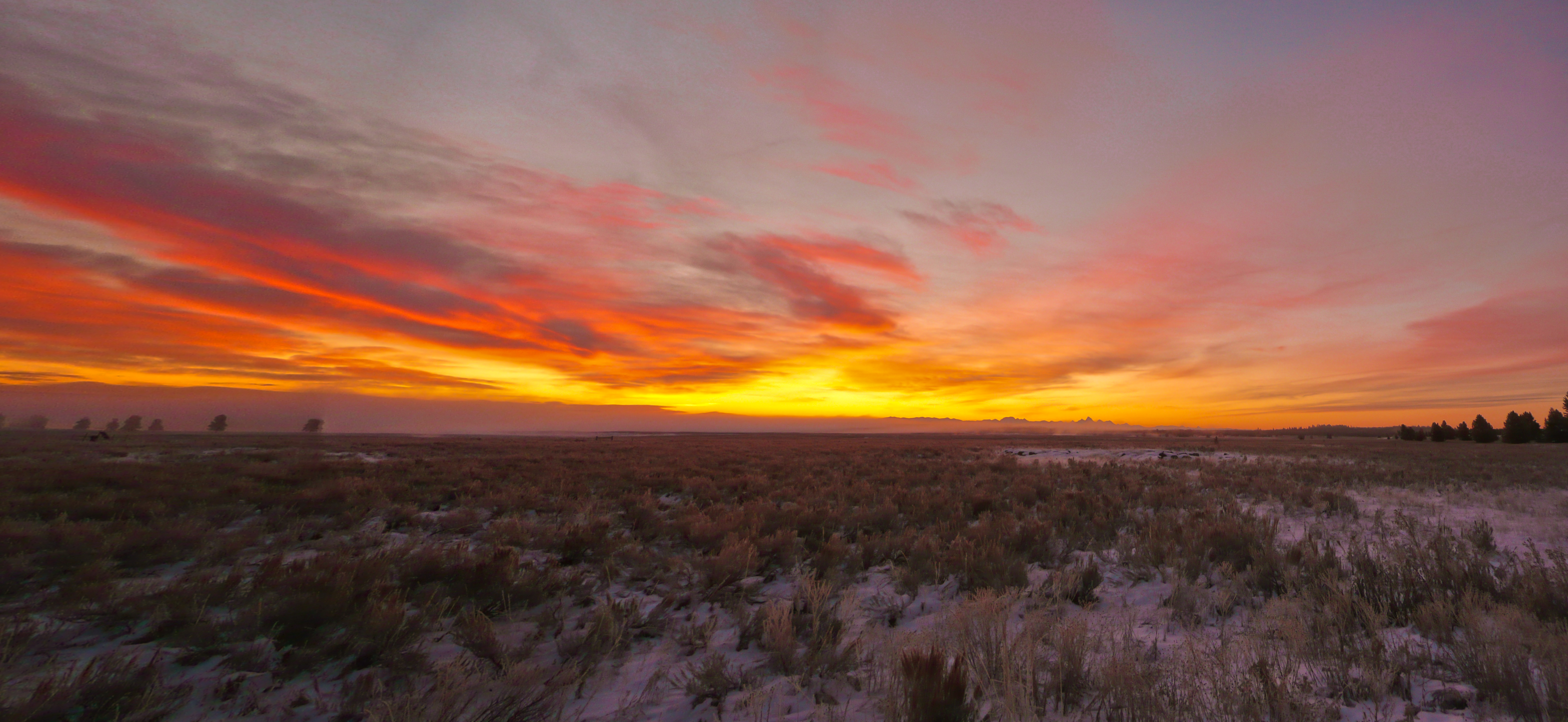
Teton Sunrise (version 2)

Sunset over Silver Lake
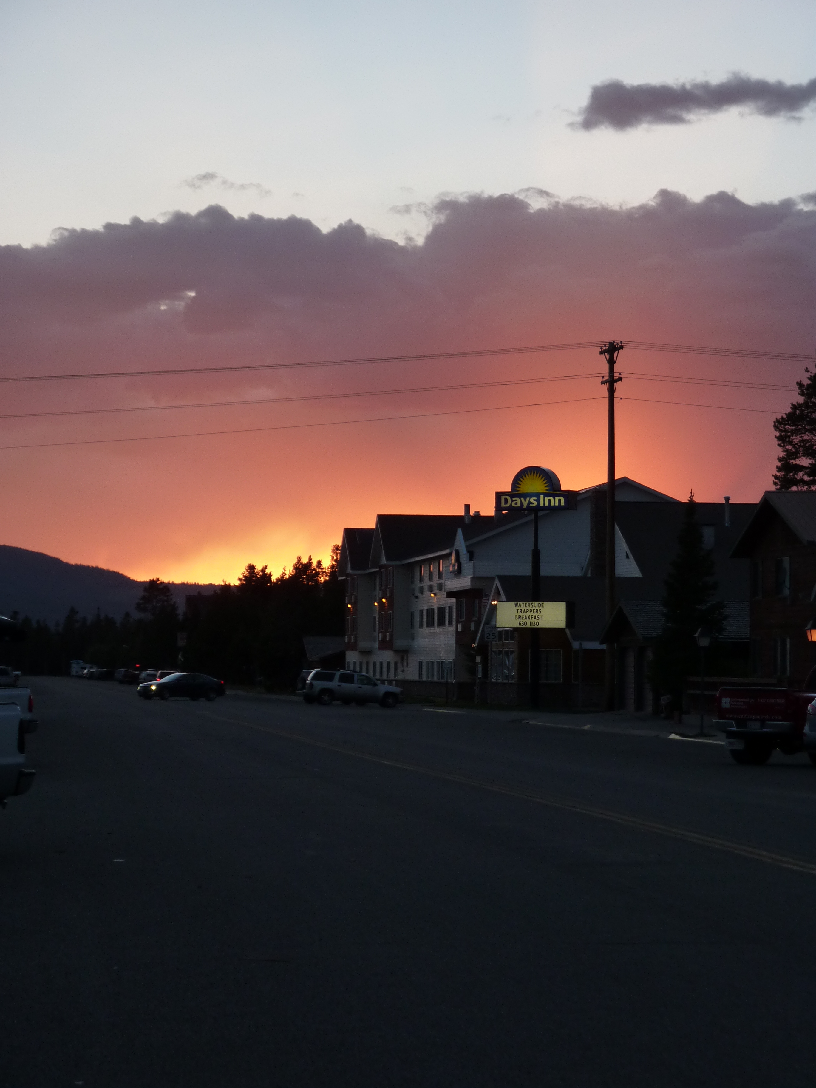
Unterwegs von Idaho Falls nach West Yellowstone

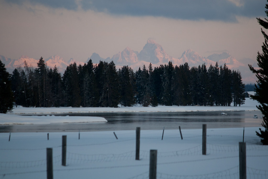
Teton Mountains & Henry's Fork River
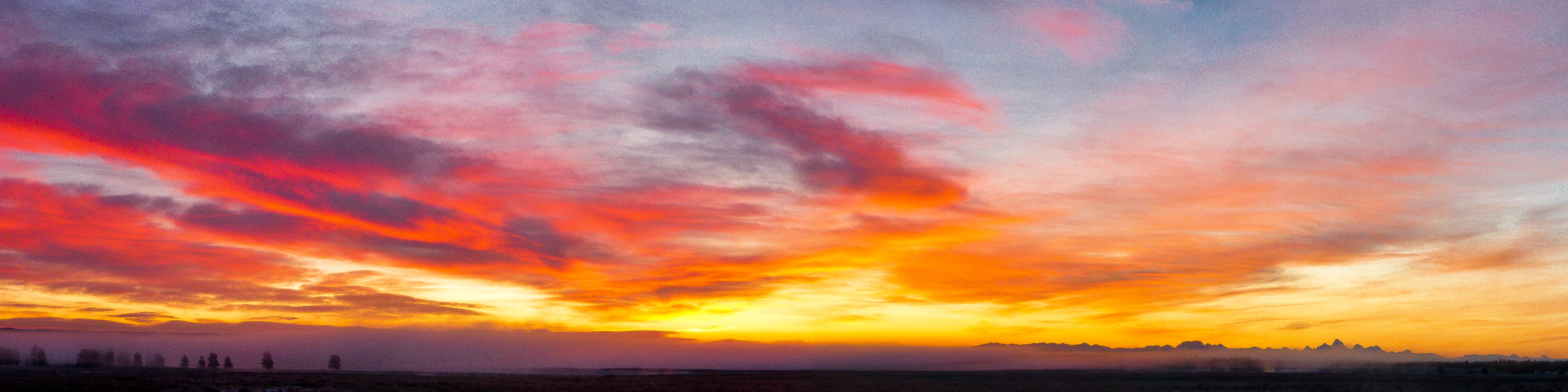
The Teton Mountains at sunset

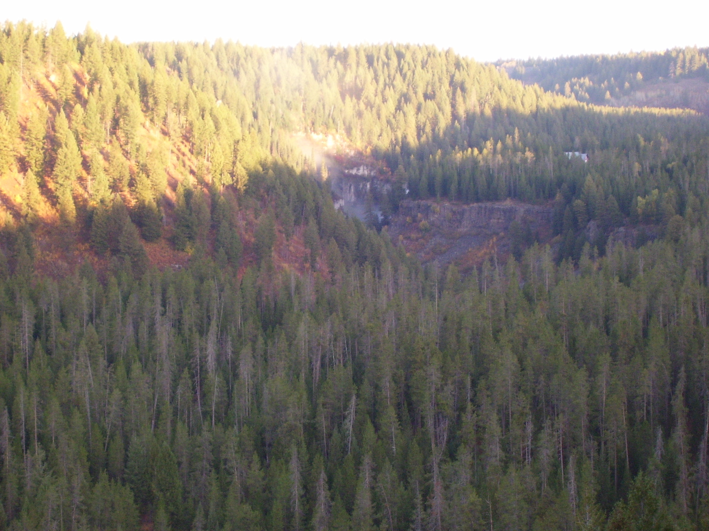
Sunrise through the fog
Teton Sunrise
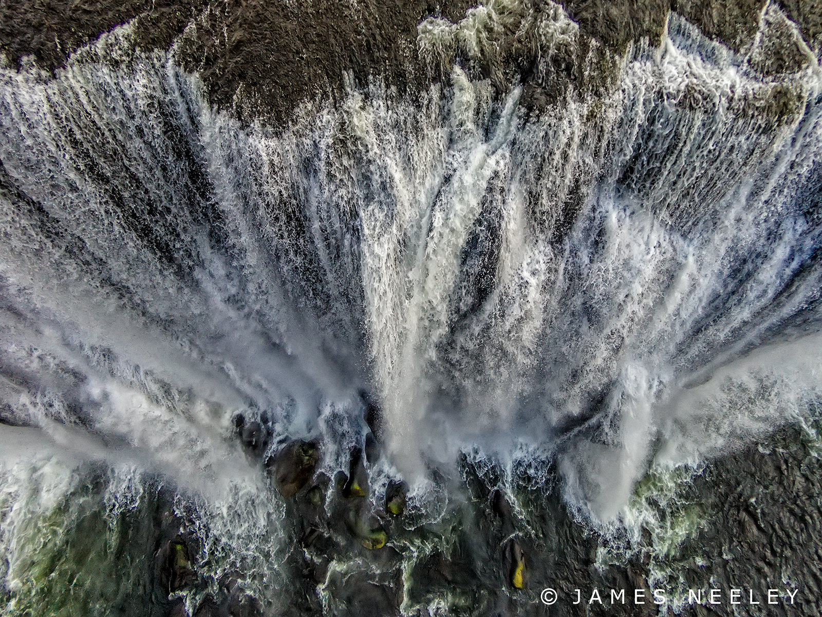
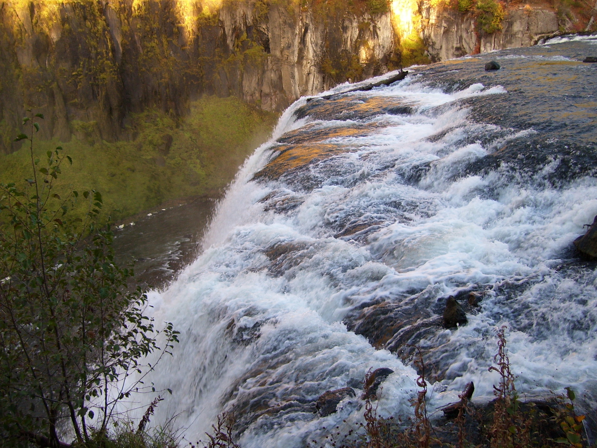
Over the Edge

View from the bottom
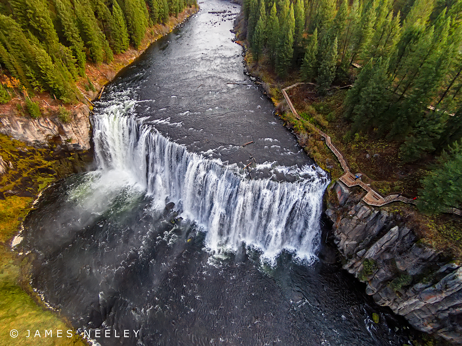
Elevated View
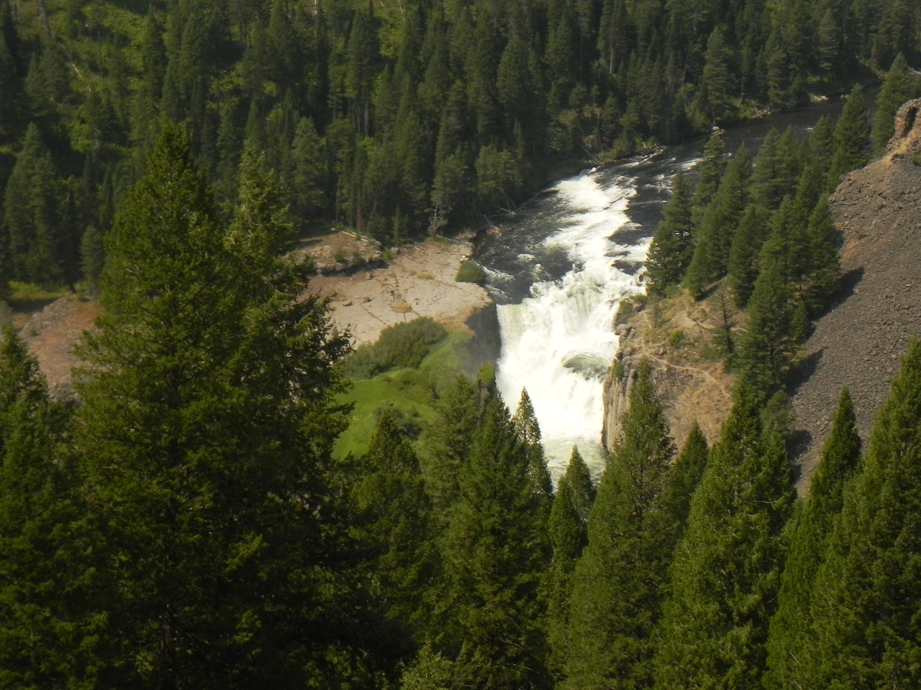
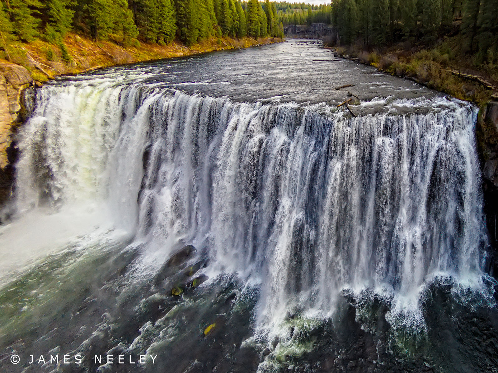
Lower Mesa Falls
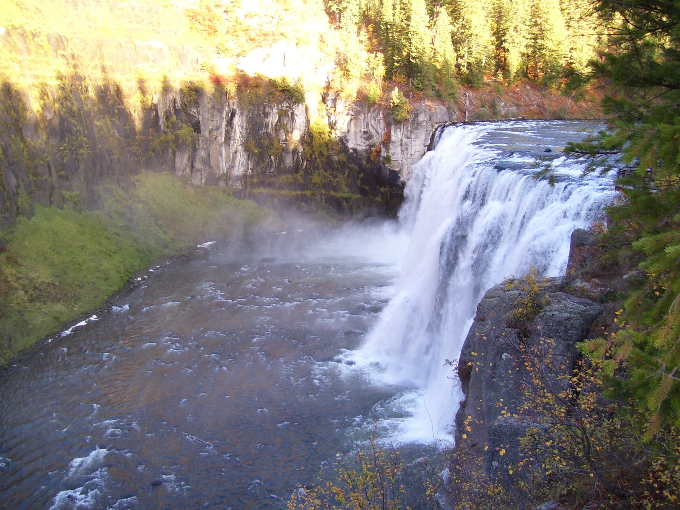
Upper Mesa Falls in all its glory!
Upper Mesa Falls
Does that look like a smoke signal?
Looking Straight On
Mapa de Condado de Fremont, Idaho, EE. UU.
Buscar otro lugar
lugares en Condado de Fremont, Idaho, EE. UU.
Lugares cercanos
N E, Ashton, ID, EE. UU.
Ashton, Idaho, EE. UU.
Old Highway, Island Park, ID, EE. UU.
N E, Ashton, ID, EE. UU.
Island Park, Idaho, EE. UU.
W Potpourri Dr, Ashton, ID, EE. UU.
Island Park, Idaho, EE. UU.
Mack's Inn Resort, Hwy 20, Island Park, ID, EE. UU.
St. Anthony, Idaho, EE. UU.
W 2nd N, St Anthony, ID, EE. UU.
Stone Run, Island Park, ID, EE. UU.
Forest Rd, Island Park, ID, EE. UU.
Teton Hwy, St Anthony, ID, EE. UU.
ID-33, Rexburg, ID, EE. UU.
Newdale, Idaho, EE. UU.
Pinion, Island Park, ID, EE. UU.
Red Rock Rd, Island Park, ID, EE. UU.
Redrock RV Park, Red Rock Rd, Island Park, ID, EE. UU.
44 Main St, Teton, ID, EE. UU.
Teton, Idaho, EE. UU.
Búsquedas recientes
- Horas de salida y puesta de sol de Red Dog Mine, AK, USA
- Horas de salida y puesta de sol de Am Bahnhof, Am bhf, Borken, Germany
- Horas de salida y puesta de sol de 4th St E, Sonoma, CA, EE. UU.
- Horas de salida y puesta de sol de Oakland Ave, Williamsport, PA, EE. UU.
- Horas de salida y puesta de sol de Via Roma, Pieranica CR, Italia
- Horas de salida y puesta de sol de Torre del reloj, Grad, Dubrovnik (Ragusa), Croacia
- Horas de salida y puesta de sol de Trelew, Chubut, Argentina
- Horas de salida y puesta de sol de Hartfords Bluff Cir, Mt Pleasant, SC, EE. UU.
- Horas de salida y puesta de sol de Kita Ward, Kumamoto, Japón
- Horas de salida y puesta de sol de Pingtan Island, Pingtan County, Fuzhou, China