Horas de salida y puesta de sol de Co Hwy 44, Nevada, OH, EE. UU.
Location: Estados Unidos > Ohio > Condado de Wyandot > Municipio de Eden > Nevada >
Zona horaria:
America/New_York
Hora local:
2025-06-17 21:07:30
Longitud:
-83.1496446
Latitud:
40.8772197
Salida de sol de hoy:
06:00:33 AM
Puesta de sol de hoy:
09:07:15 PM
La duración del día hoy:
15h 6m 42s
Salida de sol de mañana:
06:00:43 AM
Puesta de sol de mañana:
09:07:32 PM
La duración del día mañana:
15h 6m 49s
Mostrar todas las fechas
| Fecha | Salida de sol | Puesta de sol | Duración del día |
|---|---|---|---|
| 01/01/2025 | 07:57:07 AM | 05:16:19 PM | 9h 19m 12s |
| 02/01/2025 | 07:57:09 AM | 05:17:12 PM | 9h 20m 3s |
| 03/01/2025 | 07:57:09 AM | 05:18:06 PM | 9h 20m 57s |
| 04/01/2025 | 07:57:07 AM | 05:19:02 PM | 9h 21m 55s |
| 05/01/2025 | 07:57:03 AM | 05:19:59 PM | 9h 22m 56s |
| 06/01/2025 | 07:56:56 AM | 05:20:57 PM | 9h 24m 1s |
| 07/01/2025 | 07:56:47 AM | 05:21:57 PM | 9h 25m 10s |
| 08/01/2025 | 07:56:36 AM | 05:22:58 PM | 9h 26m 22s |
| 09/01/2025 | 07:56:23 AM | 05:24:00 PM | 9h 27m 37s |
| 10/01/2025 | 07:56:07 AM | 05:25:03 PM | 9h 28m 56s |
| 11/01/2025 | 07:55:49 AM | 05:26:07 PM | 9h 30m 18s |
| 12/01/2025 | 07:55:29 AM | 05:27:12 PM | 9h 31m 43s |
| 13/01/2025 | 07:55:07 AM | 05:28:19 PM | 9h 33m 12s |
| 14/01/2025 | 07:54:42 AM | 05:29:26 PM | 9h 34m 44s |
| 15/01/2025 | 07:54:15 AM | 05:30:33 PM | 9h 36m 18s |
| 16/01/2025 | 07:53:46 AM | 05:31:42 PM | 9h 37m 56s |
| 17/01/2025 | 07:53:15 AM | 05:32:51 PM | 9h 39m 36s |
| 18/01/2025 | 07:52:42 AM | 05:34:01 PM | 9h 41m 19s |
| 19/01/2025 | 07:52:07 AM | 05:35:12 PM | 9h 43m 5s |
| 20/01/2025 | 07:51:29 AM | 05:36:23 PM | 9h 44m 54s |
| 21/01/2025 | 07:50:50 AM | 05:37:35 PM | 9h 46m 45s |
| 22/01/2025 | 07:50:09 AM | 05:38:47 PM | 9h 48m 38s |
| 23/01/2025 | 07:49:25 AM | 05:39:59 PM | 9h 50m 34s |
| 24/01/2025 | 07:48:40 AM | 05:41:12 PM | 9h 52m 32s |
| 25/01/2025 | 07:47:53 AM | 05:42:26 PM | 9h 54m 33s |
| 26/01/2025 | 07:47:04 AM | 05:43:39 PM | 9h 56m 35s |
| 27/01/2025 | 07:46:13 AM | 05:44:53 PM | 9h 58m 40s |
| 28/01/2025 | 07:45:20 AM | 05:46:07 PM | 10h 0m 47s |
| 29/01/2025 | 07:44:25 AM | 05:47:21 PM | 10h 2m 56s |
| 30/01/2025 | 07:43:29 AM | 05:48:35 PM | 10h 5m 6s |
| 31/01/2025 | 07:42:31 AM | 05:49:50 PM | 10h 7m 19s |
| 01/02/2025 | 07:41:31 AM | 05:51:04 PM | 10h 9m 33s |
| 02/02/2025 | 07:40:29 AM | 05:52:19 PM | 10h 11m 50s |
| 03/02/2025 | 07:39:26 AM | 05:53:33 PM | 10h 14m 7s |
| 04/02/2025 | 07:38:22 AM | 05:54:48 PM | 10h 16m 26s |
| 05/02/2025 | 07:37:15 AM | 05:56:02 PM | 10h 18m 47s |
| 06/02/2025 | 07:36:08 AM | 05:57:16 PM | 10h 21m 8s |
| 07/02/2025 | 07:34:58 AM | 05:58:30 PM | 10h 23m 32s |
| 08/02/2025 | 07:33:48 AM | 05:59:45 PM | 10h 25m 57s |
| 09/02/2025 | 07:32:36 AM | 06:00:58 PM | 10h 28m 22s |
| 10/02/2025 | 07:31:22 AM | 06:02:12 PM | 10h 30m 50s |
| 11/02/2025 | 07:30:07 AM | 06:03:26 PM | 10h 33m 19s |
| 12/02/2025 | 07:28:51 AM | 06:04:39 PM | 10h 35m 48s |
| 13/02/2025 | 07:27:34 AM | 06:05:52 PM | 10h 38m 18s |
| 14/02/2025 | 07:26:16 AM | 06:07:05 PM | 10h 40m 49s |
| 15/02/2025 | 07:24:56 AM | 06:08:18 PM | 10h 43m 22s |
| 16/02/2025 | 07:23:35 AM | 06:09:30 PM | 10h 45m 55s |
| 17/02/2025 | 07:22:13 AM | 06:10:42 PM | 10h 48m 29s |
| 18/02/2025 | 07:20:50 AM | 06:11:54 PM | 10h 51m 4s |
| 19/02/2025 | 07:19:26 AM | 06:13:06 PM | 10h 53m 40s |
| 20/02/2025 | 07:18:01 AM | 06:14:17 PM | 10h 56m 16s |
| 21/02/2025 | 07:16:34 AM | 06:15:28 PM | 10h 58m 54s |
| 22/02/2025 | 07:15:07 AM | 06:16:39 PM | 11h 1m 32s |
| 23/02/2025 | 07:13:39 AM | 06:17:49 PM | 11h 4m 10s |
| 24/02/2025 | 07:12:11 AM | 06:18:59 PM | 11h 6m 48s |
| 25/02/2025 | 07:10:41 AM | 06:20:09 PM | 11h 9m 28s |
| 26/02/2025 | 07:09:10 AM | 06:21:18 PM | 11h 12m 8s |
| 27/02/2025 | 07:07:39 AM | 06:22:27 PM | 11h 14m 48s |
| 28/02/2025 | 07:06:07 AM | 06:23:36 PM | 11h 17m 29s |
| 01/03/2025 | 07:04:34 AM | 06:24:45 PM | 11h 20m 11s |
| 02/03/2025 | 07:03:01 AM | 06:25:53 PM | 11h 22m 52s |
| 03/03/2025 | 07:01:27 AM | 06:27:01 PM | 11h 25m 34s |
| 04/03/2025 | 06:59:52 AM | 06:28:09 PM | 11h 28m 17s |
| 05/03/2025 | 06:58:17 AM | 06:29:16 PM | 11h 30m 59s |
| 06/03/2025 | 06:56:42 AM | 06:30:24 PM | 11h 33m 42s |
| 07/03/2025 | 06:55:05 AM | 06:31:31 PM | 11h 36m 26s |
| 08/03/2025 | 06:53:29 AM | 06:32:37 PM | 11h 39m 8s |
| 09/03/2025 | 07:51:56 AM | 07:33:41 PM | 11h 41m 45s |
| 10/03/2025 | 07:50:18 AM | 07:34:47 PM | 11h 44m 29s |
| 11/03/2025 | 07:48:40 AM | 07:35:53 PM | 11h 47m 13s |
| 12/03/2025 | 07:47:02 AM | 07:36:59 PM | 11h 49m 57s |
| 13/03/2025 | 07:45:24 AM | 07:38:04 PM | 11h 52m 40s |
| 14/03/2025 | 07:43:45 AM | 07:39:09 PM | 11h 55m 24s |
| 15/03/2025 | 07:42:06 AM | 07:40:15 PM | 11h 58m 9s |
| 16/03/2025 | 07:40:26 AM | 07:41:19 PM | 12h 0m 53s |
| 17/03/2025 | 07:38:47 AM | 07:42:24 PM | 12h 3m 37s |
| 18/03/2025 | 07:37:07 AM | 07:43:29 PM | 12h 6m 22s |
| 19/03/2025 | 07:35:27 AM | 07:44:33 PM | 12h 9m 6s |
| 20/03/2025 | 07:33:48 AM | 07:45:37 PM | 12h 11m 49s |
| 21/03/2025 | 07:32:08 AM | 07:46:42 PM | 12h 14m 34s |
| 22/03/2025 | 07:30:28 AM | 07:47:46 PM | 12h 17m 18s |
| 23/03/2025 | 07:28:48 AM | 07:48:50 PM | 12h 20m 2s |
| 24/03/2025 | 07:27:08 AM | 07:49:53 PM | 12h 22m 45s |
| 25/03/2025 | 07:25:28 AM | 07:50:57 PM | 12h 25m 29s |
| 26/03/2025 | 07:23:48 AM | 07:52:01 PM | 12h 28m 13s |
| 27/03/2025 | 07:22:08 AM | 07:53:04 PM | 12h 30m 56s |
| 28/03/2025 | 07:20:29 AM | 07:54:08 PM | 12h 33m 39s |
| 29/03/2025 | 07:18:49 AM | 07:55:11 PM | 12h 36m 22s |
| 30/03/2025 | 07:17:10 AM | 07:56:14 PM | 12h 39m 4s |
| 31/03/2025 | 07:15:31 AM | 07:57:18 PM | 12h 41m 47s |
| 01/04/2025 | 07:13:52 AM | 07:58:21 PM | 12h 44m 29s |
| 02/04/2025 | 07:12:14 AM | 07:59:24 PM | 12h 47m 10s |
| 03/04/2025 | 07:10:36 AM | 08:00:27 PM | 12h 49m 51s |
| 04/04/2025 | 07:08:58 AM | 08:01:31 PM | 12h 52m 33s |
| 05/04/2025 | 07:07:21 AM | 08:02:34 PM | 12h 55m 13s |
| 06/04/2025 | 07:05:44 AM | 08:03:37 PM | 12h 57m 53s |
| 07/04/2025 | 07:04:08 AM | 08:04:40 PM | 13h 0m 32s |
| 08/04/2025 | 07:02:32 AM | 08:05:43 PM | 13h 3m 11s |
| 09/04/2025 | 07:00:56 AM | 08:06:47 PM | 13h 5m 51s |
| 10/04/2025 | 06:59:21 AM | 08:07:50 PM | 13h 8m 29s |
| 11/04/2025 | 06:57:47 AM | 08:08:53 PM | 13h 11m 6s |
| 12/04/2025 | 06:56:13 AM | 08:09:57 PM | 13h 13m 44s |
| 13/04/2025 | 06:54:40 AM | 08:11:00 PM | 13h 16m 20s |
| 14/04/2025 | 06:53:08 AM | 08:12:03 PM | 13h 18m 55s |
| 15/04/2025 | 06:51:36 AM | 08:13:06 PM | 13h 21m 30s |
| 16/04/2025 | 06:50:05 AM | 08:14:10 PM | 13h 24m 5s |
| 17/04/2025 | 06:48:35 AM | 08:15:13 PM | 13h 26m 38s |
| 18/04/2025 | 06:47:06 AM | 08:16:17 PM | 13h 29m 11s |
| 19/04/2025 | 06:45:37 AM | 08:17:20 PM | 13h 31m 43s |
| 20/04/2025 | 06:44:09 AM | 08:18:23 PM | 13h 34m 14s |
| 21/04/2025 | 06:42:42 AM | 08:19:27 PM | 13h 36m 45s |
| 22/04/2025 | 06:41:16 AM | 08:20:30 PM | 13h 39m 14s |
| 23/04/2025 | 06:39:52 AM | 08:21:33 PM | 13h 41m 41s |
| 24/04/2025 | 06:38:28 AM | 08:22:37 PM | 13h 44m 9s |
| 25/04/2025 | 06:37:05 AM | 08:23:40 PM | 13h 46m 35s |
| 26/04/2025 | 06:35:43 AM | 08:24:43 PM | 13h 49m 0s |
| 27/04/2025 | 06:34:22 AM | 08:25:46 PM | 13h 51m 24s |
| 28/04/2025 | 06:33:02 AM | 08:26:49 PM | 13h 53m 47s |
| 29/04/2025 | 06:31:44 AM | 08:27:52 PM | 13h 56m 8s |
| 30/04/2025 | 06:30:26 AM | 08:28:55 PM | 13h 58m 29s |
| 01/05/2025 | 06:29:10 AM | 08:29:58 PM | 14h 0m 48s |
| 02/05/2025 | 06:27:55 AM | 08:31:00 PM | 14h 3m 5s |
| 03/05/2025 | 06:26:42 AM | 08:32:03 PM | 14h 5m 21s |
| 04/05/2025 | 06:25:29 AM | 08:33:05 PM | 14h 7m 36s |
| 05/05/2025 | 06:24:18 AM | 08:34:07 PM | 14h 9m 49s |
| 06/05/2025 | 06:23:09 AM | 08:35:09 PM | 14h 12m 0s |
| 07/05/2025 | 06:22:00 AM | 08:36:10 PM | 14h 14m 10s |
| 08/05/2025 | 06:20:54 AM | 08:37:11 PM | 14h 16m 17s |
| 09/05/2025 | 06:19:48 AM | 08:38:12 PM | 14h 18m 24s |
| 10/05/2025 | 06:18:44 AM | 08:39:13 PM | 14h 20m 29s |
| 11/05/2025 | 06:17:42 AM | 08:40:13 PM | 14h 22m 31s |
| 12/05/2025 | 06:16:41 AM | 08:41:12 PM | 14h 24m 31s |
| 13/05/2025 | 06:15:42 AM | 08:42:12 PM | 14h 26m 30s |
| 14/05/2025 | 06:14:45 AM | 08:43:10 PM | 14h 28m 25s |
| 15/05/2025 | 06:13:49 AM | 08:44:09 PM | 14h 30m 20s |
| 16/05/2025 | 06:12:54 AM | 08:45:06 PM | 14h 32m 12s |
| 17/05/2025 | 06:12:02 AM | 08:46:04 PM | 14h 34m 2s |
| 18/05/2025 | 06:11:11 AM | 08:47:00 PM | 14h 35m 49s |
| 19/05/2025 | 06:10:22 AM | 08:47:56 PM | 14h 37m 34s |
| 20/05/2025 | 06:09:34 AM | 08:48:51 PM | 14h 39m 17s |
| 21/05/2025 | 06:08:49 AM | 08:49:46 PM | 14h 40m 57s |
| 22/05/2025 | 06:08:05 AM | 08:50:39 PM | 14h 42m 34s |
| 23/05/2025 | 06:07:23 AM | 08:51:32 PM | 14h 44m 9s |
| 24/05/2025 | 06:06:43 AM | 08:52:24 PM | 14h 45m 41s |
| 25/05/2025 | 06:06:05 AM | 08:53:15 PM | 14h 47m 10s |
| 26/05/2025 | 06:05:29 AM | 08:54:06 PM | 14h 48m 37s |
| 27/05/2025 | 06:04:54 AM | 08:54:55 PM | 14h 50m 1s |
| 28/05/2025 | 06:04:22 AM | 08:55:43 PM | 14h 51m 21s |
| 29/05/2025 | 06:03:51 AM | 08:56:30 PM | 14h 52m 39s |
| 30/05/2025 | 06:03:23 AM | 08:57:16 PM | 14h 53m 53s |
| 31/05/2025 | 06:02:56 AM | 08:58:01 PM | 14h 55m 5s |
| 01/06/2025 | 06:02:32 AM | 08:58:45 PM | 14h 56m 13s |
| 02/06/2025 | 06:02:09 AM | 08:59:27 PM | 14h 57m 18s |
| 03/06/2025 | 06:01:48 AM | 09:00:08 PM | 14h 58m 20s |
| 04/06/2025 | 06:01:30 AM | 09:00:48 PM | 14h 59m 18s |
| 05/06/2025 | 06:01:13 AM | 09:01:26 PM | 15h 0m 13s |
| 06/06/2025 | 06:00:58 AM | 09:02:03 PM | 15h 1m 5s |
| 07/06/2025 | 06:00:46 AM | 09:02:39 PM | 15h 1m 53s |
| 08/06/2025 | 06:00:35 AM | 09:03:13 PM | 15h 2m 38s |
| 09/06/2025 | 06:00:26 AM | 09:03:46 PM | 15h 3m 20s |
| 10/06/2025 | 06:00:20 AM | 09:04:17 PM | 15h 3m 57s |
| 11/06/2025 | 06:00:15 AM | 09:04:46 PM | 15h 4m 31s |
| 12/06/2025 | 06:00:13 AM | 09:05:14 PM | 15h 5m 1s |
| 13/06/2025 | 06:00:12 AM | 09:05:40 PM | 15h 5m 28s |
| 14/06/2025 | 06:00:13 AM | 09:06:04 PM | 15h 5m 51s |
| 15/06/2025 | 06:00:16 AM | 09:06:27 PM | 15h 6m 11s |
| 16/06/2025 | 06:00:21 AM | 09:06:48 PM | 15h 6m 27s |
| 17/06/2025 | 06:00:29 AM | 09:07:07 PM | 15h 6m 38s |
| 18/06/2025 | 06:00:38 AM | 09:07:24 PM | 15h 6m 46s |
| 19/06/2025 | 06:00:48 AM | 09:07:39 PM | 15h 6m 51s |
| 20/06/2025 | 06:01:01 AM | 09:07:53 PM | 15h 6m 52s |
| 21/06/2025 | 06:01:16 AM | 09:08:04 PM | 15h 6m 48s |
| 22/06/2025 | 06:01:32 AM | 09:08:14 PM | 15h 6m 42s |
| 23/06/2025 | 06:01:50 AM | 09:08:21 PM | 15h 6m 31s |
| 24/06/2025 | 06:02:10 AM | 09:08:27 PM | 15h 6m 17s |
| 25/06/2025 | 06:02:31 AM | 09:08:31 PM | 15h 6m 0s |
| 26/06/2025 | 06:02:55 AM | 09:08:33 PM | 15h 5m 38s |
| 27/06/2025 | 06:03:20 AM | 09:08:32 PM | 15h 5m 12s |
| 28/06/2025 | 06:03:46 AM | 09:08:30 PM | 15h 4m 44s |
| 29/06/2025 | 06:04:14 AM | 09:08:26 PM | 15h 4m 12s |
| 30/06/2025 | 06:04:44 AM | 09:08:19 PM | 15h 3m 35s |
| 01/07/2025 | 06:05:15 AM | 09:08:11 PM | 15h 2m 56s |
| 02/07/2025 | 06:05:48 AM | 09:08:00 PM | 15h 2m 12s |
| 03/07/2025 | 06:06:22 AM | 09:07:48 PM | 15h 1m 26s |
| 04/07/2025 | 06:06:57 AM | 09:07:33 PM | 15h 0m 36s |
| 05/07/2025 | 06:07:34 AM | 09:07:17 PM | 14h 59m 43s |
| 06/07/2025 | 06:08:12 AM | 09:06:58 PM | 14h 58m 46s |
| 07/07/2025 | 06:08:51 AM | 09:06:37 PM | 14h 57m 46s |
| 08/07/2025 | 06:09:32 AM | 09:06:14 PM | 14h 56m 42s |
| 09/07/2025 | 06:10:14 AM | 09:05:50 PM | 14h 55m 36s |
| 10/07/2025 | 06:10:56 AM | 09:05:23 PM | 14h 54m 27s |
| 11/07/2025 | 06:11:40 AM | 09:04:54 PM | 14h 53m 14s |
| 12/07/2025 | 06:12:25 AM | 09:04:23 PM | 14h 51m 58s |
| 13/07/2025 | 06:13:12 AM | 09:03:51 PM | 14h 50m 39s |
| 14/07/2025 | 06:13:59 AM | 09:03:16 PM | 14h 49m 17s |
| 15/07/2025 | 06:14:46 AM | 09:02:39 PM | 14h 47m 53s |
| 16/07/2025 | 06:15:35 AM | 09:02:01 PM | 14h 46m 26s |
| 17/07/2025 | 06:16:25 AM | 09:01:20 PM | 14h 44m 55s |
| 18/07/2025 | 06:17:15 AM | 09:00:38 PM | 14h 43m 23s |
| 19/07/2025 | 06:18:07 AM | 08:59:54 PM | 14h 41m 47s |
| 20/07/2025 | 06:18:59 AM | 08:59:08 PM | 14h 40m 9s |
| 21/07/2025 | 06:19:51 AM | 08:58:20 PM | 14h 38m 29s |
| 22/07/2025 | 06:20:44 AM | 08:57:30 PM | 14h 36m 46s |
| 23/07/2025 | 06:21:38 AM | 08:56:39 PM | 14h 35m 1s |
| 24/07/2025 | 06:22:33 AM | 08:55:46 PM | 14h 33m 13s |
| 25/07/2025 | 06:23:28 AM | 08:54:51 PM | 14h 31m 23s |
| 26/07/2025 | 06:24:23 AM | 08:53:54 PM | 14h 29m 31s |
| 27/07/2025 | 06:25:19 AM | 08:52:56 PM | 14h 27m 37s |
| 28/07/2025 | 06:26:15 AM | 08:51:56 PM | 14h 25m 41s |
| 29/07/2025 | 06:27:12 AM | 08:50:55 PM | 14h 23m 43s |
| 30/07/2025 | 06:28:09 AM | 08:49:51 PM | 14h 21m 42s |
| 31/07/2025 | 06:29:06 AM | 08:48:47 PM | 14h 19m 41s |
| 01/08/2025 | 06:30:04 AM | 08:47:41 PM | 14h 17m 37s |
| 02/08/2025 | 06:31:02 AM | 08:46:33 PM | 14h 15m 31s |
| 03/08/2025 | 06:32:00 AM | 08:45:24 PM | 14h 13m 24s |
| 04/08/2025 | 06:32:58 AM | 08:44:14 PM | 14h 11m 16s |
| 05/08/2025 | 06:33:57 AM | 08:43:02 PM | 14h 9m 5s |
| 06/08/2025 | 06:34:56 AM | 08:41:48 PM | 14h 6m 52s |
| 07/08/2025 | 06:35:55 AM | 08:40:34 PM | 14h 4m 39s |
| 08/08/2025 | 06:36:54 AM | 08:39:18 PM | 14h 2m 24s |
| 09/08/2025 | 06:37:53 AM | 08:38:01 PM | 14h 0m 8s |
| 10/08/2025 | 06:38:52 AM | 08:36:43 PM | 13h 57m 51s |
| 11/08/2025 | 06:39:52 AM | 08:35:23 PM | 13h 55m 31s |
| 12/08/2025 | 06:40:51 AM | 08:34:02 PM | 13h 53m 11s |
| 13/08/2025 | 06:41:50 AM | 08:32:40 PM | 13h 50m 50s |
| 14/08/2025 | 06:42:50 AM | 08:31:17 PM | 13h 48m 27s |
| 15/08/2025 | 06:43:49 AM | 08:29:53 PM | 13h 46m 4s |
| 16/08/2025 | 06:44:49 AM | 08:28:28 PM | 13h 43m 39s |
| 17/08/2025 | 06:45:48 AM | 08:27:02 PM | 13h 41m 14s |
| 18/08/2025 | 06:46:48 AM | 08:25:35 PM | 13h 38m 47s |
| 19/08/2025 | 06:47:47 AM | 08:24:07 PM | 13h 36m 20s |
| 20/08/2025 | 06:48:47 AM | 08:22:38 PM | 13h 33m 51s |
| 21/08/2025 | 06:49:46 AM | 08:21:08 PM | 13h 31m 22s |
| 22/08/2025 | 06:50:46 AM | 08:19:38 PM | 13h 28m 52s |
| 23/08/2025 | 06:51:45 AM | 08:18:06 PM | 13h 26m 21s |
| 24/08/2025 | 06:52:44 AM | 08:16:34 PM | 13h 23m 50s |
| 25/08/2025 | 06:53:43 AM | 08:15:01 PM | 13h 21m 18s |
| 26/08/2025 | 06:54:43 AM | 08:13:27 PM | 13h 18m 44s |
| 27/08/2025 | 06:55:42 AM | 08:11:52 PM | 13h 16m 10s |
| 28/08/2025 | 06:56:41 AM | 08:10:17 PM | 13h 13m 36s |
| 29/08/2025 | 06:57:40 AM | 08:08:42 PM | 13h 11m 2s |
| 30/08/2025 | 06:58:39 AM | 08:07:05 PM | 13h 8m 26s |
| 31/08/2025 | 06:59:38 AM | 08:05:28 PM | 13h 5m 50s |
| 01/09/2025 | 07:00:37 AM | 08:03:51 PM | 13h 3m 14s |
| 02/09/2025 | 07:01:35 AM | 08:02:13 PM | 13h 0m 38s |
| 03/09/2025 | 07:02:34 AM | 08:00:34 PM | 12h 58m 0s |
| 04/09/2025 | 07:03:33 AM | 07:58:55 PM | 12h 55m 22s |
| 05/09/2025 | 07:04:32 AM | 07:57:16 PM | 12h 52m 44s |
| 06/09/2025 | 07:05:31 AM | 07:55:36 PM | 12h 50m 5s |
| 07/09/2025 | 07:06:29 AM | 07:53:56 PM | 12h 47m 27s |
| 08/09/2025 | 07:07:28 AM | 07:52:16 PM | 12h 44m 48s |
| 09/09/2025 | 07:08:27 AM | 07:50:35 PM | 12h 42m 8s |
| 10/09/2025 | 07:09:26 AM | 07:48:54 PM | 12h 39m 28s |
| 11/09/2025 | 07:10:24 AM | 07:47:13 PM | 12h 36m 49s |
| 12/09/2025 | 07:11:23 AM | 07:45:32 PM | 12h 34m 9s |
| 13/09/2025 | 07:12:22 AM | 07:43:50 PM | 12h 31m 28s |
| 14/09/2025 | 07:13:21 AM | 07:42:08 PM | 12h 28m 47s |
| 15/09/2025 | 07:14:20 AM | 07:40:26 PM | 12h 26m 6s |
| 16/09/2025 | 07:15:19 AM | 07:38:44 PM | 12h 23m 25s |
| 17/09/2025 | 07:16:18 AM | 07:37:02 PM | 12h 20m 44s |
| 18/09/2025 | 07:17:18 AM | 07:35:20 PM | 12h 18m 2s |
| 19/09/2025 | 07:18:17 AM | 07:33:38 PM | 12h 15m 21s |
| 20/09/2025 | 07:19:16 AM | 07:31:56 PM | 12h 12m 40s |
| 21/09/2025 | 07:20:16 AM | 07:30:14 PM | 12h 9m 58s |
| 22/09/2025 | 07:21:16 AM | 07:28:32 PM | 12h 7m 16s |
| 23/09/2025 | 07:22:16 AM | 07:26:50 PM | 12h 4m 34s |
| 24/09/2025 | 07:23:16 AM | 07:25:09 PM | 12h 1m 53s |
| 25/09/2025 | 07:24:16 AM | 07:23:27 PM | 11h 59m 11s |
| 26/09/2025 | 07:25:16 AM | 07:21:46 PM | 11h 56m 30s |
| 27/09/2025 | 07:26:17 AM | 07:20:05 PM | 11h 53m 48s |
| 28/09/2025 | 07:27:18 AM | 07:18:24 PM | 11h 51m 6s |
| 29/09/2025 | 07:28:19 AM | 07:16:44 PM | 11h 48m 25s |
| 30/09/2025 | 07:29:20 AM | 07:15:03 PM | 11h 45m 43s |
| 01/10/2025 | 07:30:22 AM | 07:13:24 PM | 11h 43m 2s |
| 02/10/2025 | 07:31:23 AM | 07:11:44 PM | 11h 40m 21s |
| 03/10/2025 | 07:32:25 AM | 07:10:05 PM | 11h 37m 40s |
| 04/10/2025 | 07:33:28 AM | 07:08:27 PM | 11h 34m 59s |
| 05/10/2025 | 07:34:30 AM | 07:06:49 PM | 11h 32m 19s |
| 06/10/2025 | 07:35:33 AM | 07:05:11 PM | 11h 29m 38s |
| 07/10/2025 | 07:36:36 AM | 07:03:34 PM | 11h 26m 58s |
| 08/10/2025 | 07:37:39 AM | 07:01:58 PM | 11h 24m 19s |
| 09/10/2025 | 07:38:43 AM | 07:00:22 PM | 11h 21m 39s |
| 10/10/2025 | 07:39:47 AM | 06:58:47 PM | 11h 19m 0s |
| 11/10/2025 | 07:40:51 AM | 06:57:12 PM | 11h 16m 21s |
| 12/10/2025 | 07:41:56 AM | 06:55:39 PM | 11h 13m 43s |
| 13/10/2025 | 07:43:01 AM | 06:54:06 PM | 11h 11m 5s |
| 14/10/2025 | 07:44:06 AM | 06:52:33 PM | 11h 8m 27s |
| 15/10/2025 | 07:45:12 AM | 06:51:02 PM | 11h 5m 50s |
| 16/10/2025 | 07:46:18 AM | 06:49:31 PM | 11h 3m 13s |
| 17/10/2025 | 07:47:24 AM | 06:48:02 PM | 11h 0m 38s |
| 18/10/2025 | 07:48:30 AM | 06:46:33 PM | 10h 58m 3s |
| 19/10/2025 | 07:49:37 AM | 06:45:05 PM | 10h 55m 28s |
| 20/10/2025 | 07:50:45 AM | 06:43:38 PM | 10h 52m 53s |
| 21/10/2025 | 07:51:52 AM | 06:42:12 PM | 10h 50m 20s |
| 22/10/2025 | 07:53:00 AM | 06:40:47 PM | 10h 47m 47s |
| 23/10/2025 | 07:54:08 AM | 06:39:24 PM | 10h 45m 16s |
| 24/10/2025 | 07:55:17 AM | 06:38:01 PM | 10h 42m 44s |
| 25/10/2025 | 07:56:25 AM | 06:36:39 PM | 10h 40m 14s |
| 26/10/2025 | 07:57:34 AM | 06:35:19 PM | 10h 37m 45s |
| 27/10/2025 | 07:58:44 AM | 06:34:00 PM | 10h 35m 16s |
| 28/10/2025 | 07:59:53 AM | 06:32:42 PM | 10h 32m 49s |
| 29/10/2025 | 08:01:03 AM | 06:31:26 PM | 10h 30m 23s |
| 30/10/2025 | 08:02:13 AM | 06:30:11 PM | 10h 27m 58s |
| 31/10/2025 | 08:03:23 AM | 06:28:57 PM | 10h 25m 34s |
| 01/11/2025 | 08:04:34 AM | 06:27:45 PM | 10h 23m 11s |
| 02/11/2025 | 07:05:47 AM | 05:26:31 PM | 10h 20m 44s |
| 03/11/2025 | 07:06:58 AM | 05:25:21 PM | 10h 18m 23s |
| 04/11/2025 | 07:08:09 AM | 05:24:13 PM | 10h 16m 4s |
| 05/11/2025 | 07:09:20 AM | 05:23:07 PM | 10h 13m 47s |
| 06/11/2025 | 07:10:31 AM | 05:22:02 PM | 10h 11m 31s |
| 07/11/2025 | 07:11:42 AM | 05:20:59 PM | 10h 9m 17s |
| 08/11/2025 | 07:12:53 AM | 05:19:58 PM | 10h 7m 5s |
| 09/11/2025 | 07:14:05 AM | 05:18:58 PM | 10h 4m 53s |
| 10/11/2025 | 07:15:16 AM | 05:18:00 PM | 10h 2m 44s |
| 11/11/2025 | 07:16:27 AM | 05:17:04 PM | 10h 0m 37s |
| 12/11/2025 | 07:17:38 AM | 05:16:09 PM | 9h 58m 31s |
| 13/11/2025 | 07:18:49 AM | 05:15:17 PM | 9h 56m 28s |
| 14/11/2025 | 07:19:59 AM | 05:14:26 PM | 9h 54m 27s |
| 15/11/2025 | 07:21:10 AM | 05:13:37 PM | 9h 52m 27s |
| 16/11/2025 | 07:22:20 AM | 05:12:50 PM | 9h 50m 30s |
| 17/11/2025 | 07:23:30 AM | 05:12:05 PM | 9h 48m 35s |
| 18/11/2025 | 07:24:39 AM | 05:11:22 PM | 9h 46m 43s |
| 19/11/2025 | 07:25:49 AM | 05:10:41 PM | 9h 44m 52s |
| 20/11/2025 | 07:26:57 AM | 05:10:02 PM | 9h 43m 5s |
| 21/11/2025 | 07:28:06 AM | 05:09:25 PM | 9h 41m 19s |
| 22/11/2025 | 07:29:13 AM | 05:08:51 PM | 9h 39m 38s |
| 23/11/2025 | 07:30:20 AM | 05:08:18 PM | 9h 37m 58s |
| 24/11/2025 | 07:31:27 AM | 05:07:48 PM | 9h 36m 21s |
| 25/11/2025 | 07:32:33 AM | 05:07:19 PM | 9h 34m 46s |
| 26/11/2025 | 07:33:38 AM | 05:06:53 PM | 9h 33m 15s |
| 27/11/2025 | 07:34:42 AM | 05:06:30 PM | 9h 31m 48s |
| 28/11/2025 | 07:35:46 AM | 05:06:08 PM | 9h 30m 22s |
| 29/11/2025 | 07:36:48 AM | 05:05:49 PM | 9h 29m 1s |
| 30/11/2025 | 07:37:50 AM | 05:05:32 PM | 9h 27m 42s |
| 01/12/2025 | 07:38:50 AM | 05:05:17 PM | 9h 26m 27s |
| 02/12/2025 | 07:39:50 AM | 05:05:05 PM | 9h 25m 15s |
| 03/12/2025 | 07:40:48 AM | 05:04:54 PM | 9h 24m 6s |
| 04/12/2025 | 07:41:45 AM | 05:04:47 PM | 9h 23m 2s |
| 05/12/2025 | 07:42:41 AM | 05:04:41 PM | 9h 22m 0s |
| 06/12/2025 | 07:43:36 AM | 05:04:38 PM | 9h 21m 2s |
| 07/12/2025 | 07:44:29 AM | 05:04:37 PM | 9h 20m 8s |
| 08/12/2025 | 07:45:21 AM | 05:04:38 PM | 9h 19m 17s |
| 09/12/2025 | 07:46:12 AM | 05:04:42 PM | 9h 18m 30s |
| 10/12/2025 | 07:47:01 AM | 05:04:48 PM | 9h 17m 47s |
| 11/12/2025 | 07:47:48 AM | 05:04:57 PM | 9h 17m 9s |
| 12/12/2025 | 07:48:34 AM | 05:05:07 PM | 9h 16m 33s |
| 13/12/2025 | 07:49:18 AM | 05:05:20 PM | 9h 16m 2s |
| 14/12/2025 | 07:50:00 AM | 05:05:36 PM | 9h 15m 36s |
| 15/12/2025 | 07:50:41 AM | 05:05:53 PM | 9h 15m 12s |
| 16/12/2025 | 07:51:20 AM | 05:06:13 PM | 9h 14m 53s |
| 17/12/2025 | 07:51:57 AM | 05:06:35 PM | 9h 14m 38s |
| 18/12/2025 | 07:52:32 AM | 05:06:59 PM | 9h 14m 27s |
| 19/12/2025 | 07:53:05 AM | 05:07:25 PM | 9h 14m 20s |
| 20/12/2025 | 07:53:36 AM | 05:07:54 PM | 9h 14m 18s |
| 21/12/2025 | 07:54:05 AM | 05:08:24 PM | 9h 14m 19s |
| 22/12/2025 | 07:54:33 AM | 05:08:57 PM | 9h 14m 24s |
| 23/12/2025 | 07:54:58 AM | 05:09:31 PM | 9h 14m 33s |
| 24/12/2025 | 07:55:21 AM | 05:10:08 PM | 9h 14m 47s |
| 25/12/2025 | 07:55:41 AM | 05:10:46 PM | 9h 15m 5s |
| 26/12/2025 | 07:56:00 AM | 05:11:27 PM | 9h 15m 27s |
| 27/12/2025 | 07:56:16 AM | 05:12:09 PM | 9h 15m 53s |
| 28/12/2025 | 07:56:31 AM | 05:12:53 PM | 9h 16m 22s |
| 29/12/2025 | 07:56:43 AM | 05:13:39 PM | 9h 16m 56s |
| 30/12/2025 | 07:56:53 AM | 05:14:26 PM | 9h 17m 33s |
| 31/12/2025 | 07:57:00 AM | 05:15:16 PM | 9h 18m 16s |
Fotos

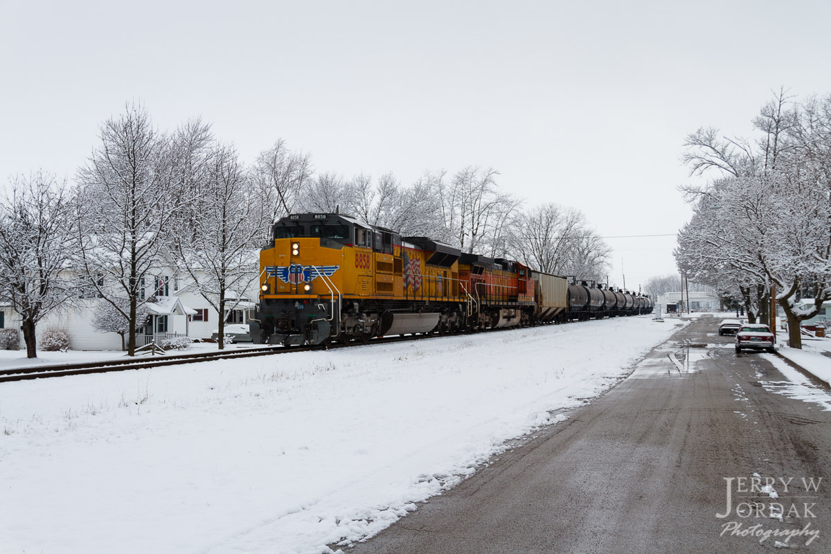
Cloudy #sunset. #Ohio

Amber waves of grain [176/365]
"The corn is as high as an elephant's eye"
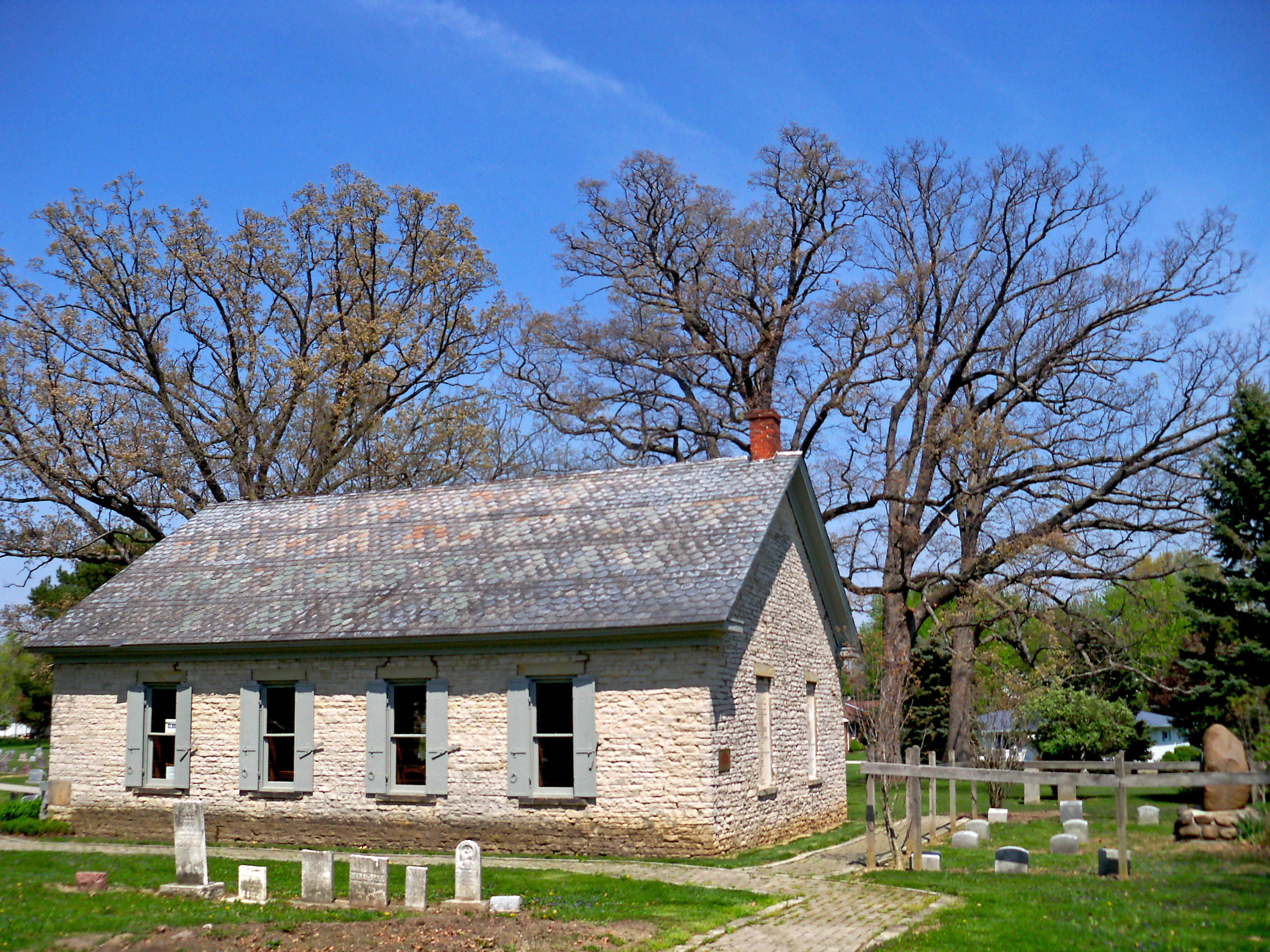
Schoolhouse — Dallas Township, Crawford County, Ohio

Between Sandusky River and Tymochtee Creek.

Wyandot Indian Mill on the Sandusky River
Wyandot Mission Church
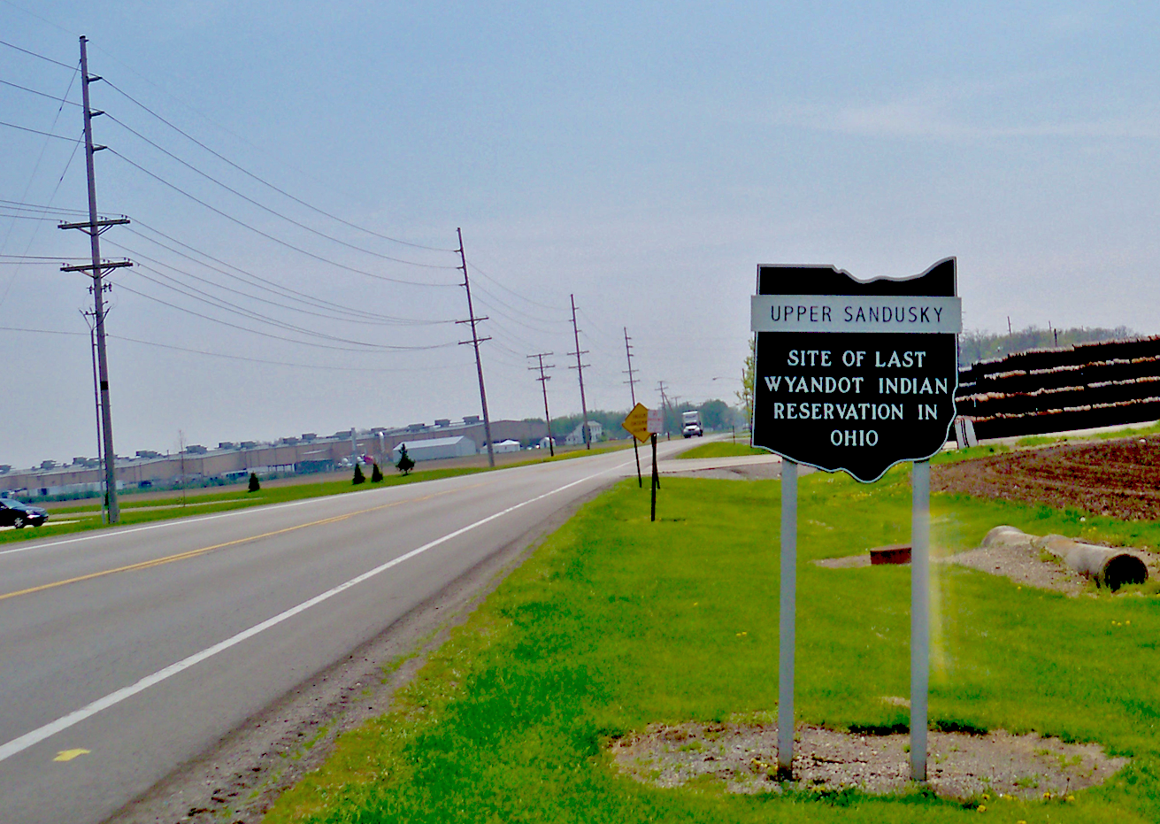
signage – Upper Sandusky, location of last Wyandot reservation in Ohio

Why not ! A selfie & the view of my cab #freightliner #selfie #cre #atx #coveralls #trucklife #trucker

#openhouse @crossroadscandles
A Splash of Color in a Sea of White

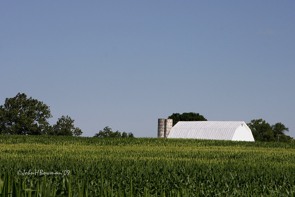
Red Barn and Soy Beans
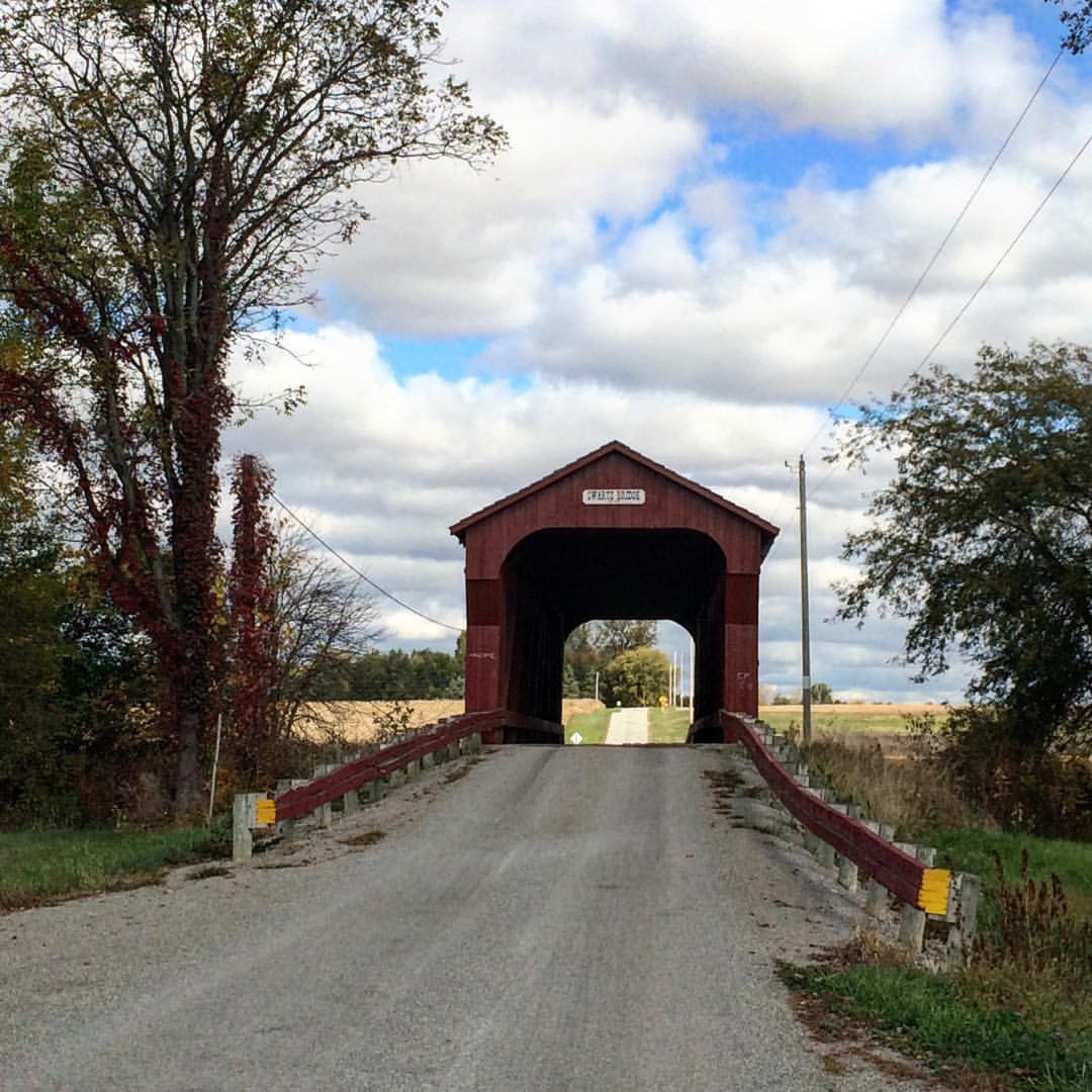
#Swartz #coveredbridge another stop on the #mybigfatcolandjerrweddingadventure #ohio #nwohio #tekkbabe859 #blondebetweenthemountains

juv. Turkey Vulture

juv. Turkey Vulture
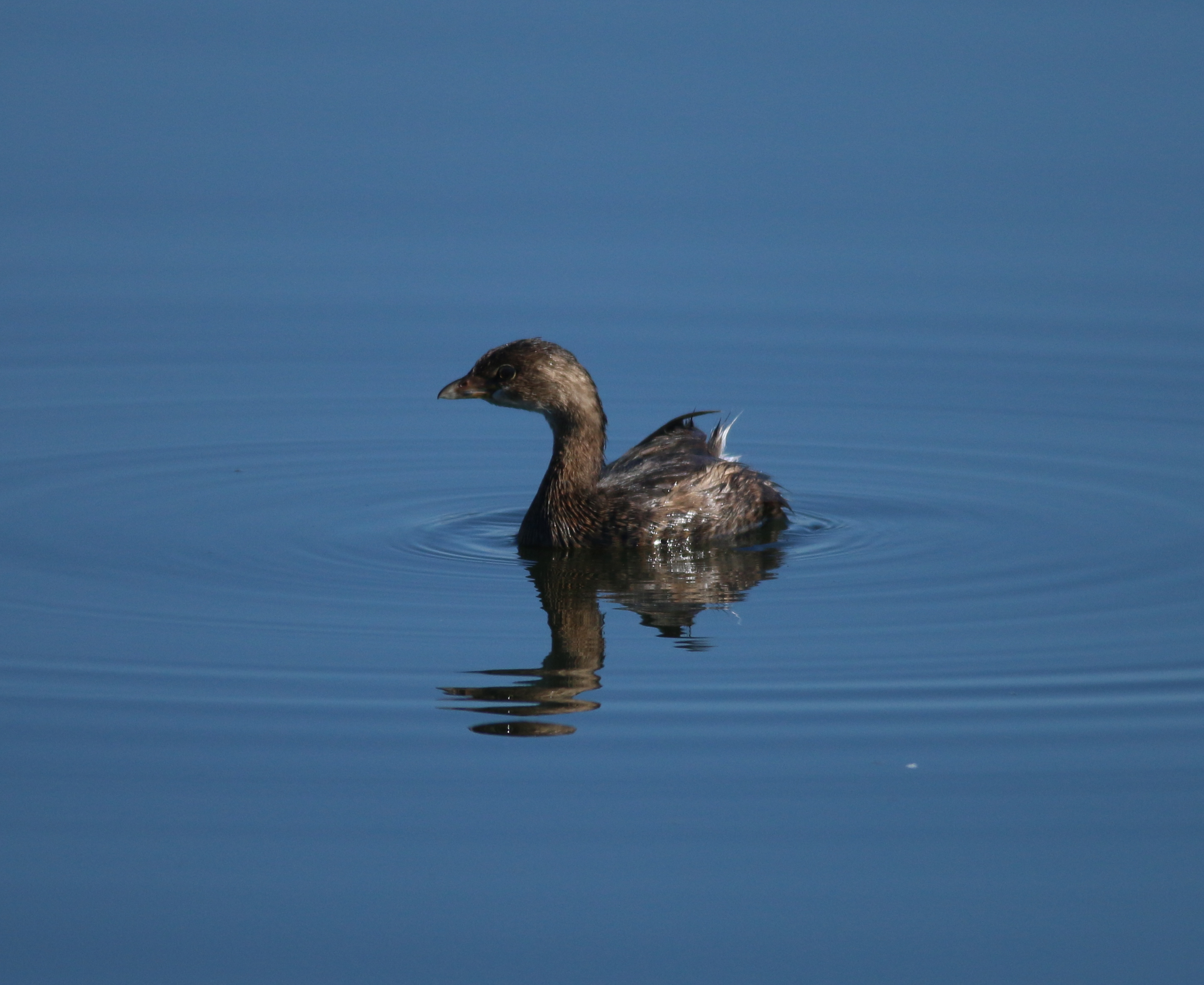
Pied-billed Grebe
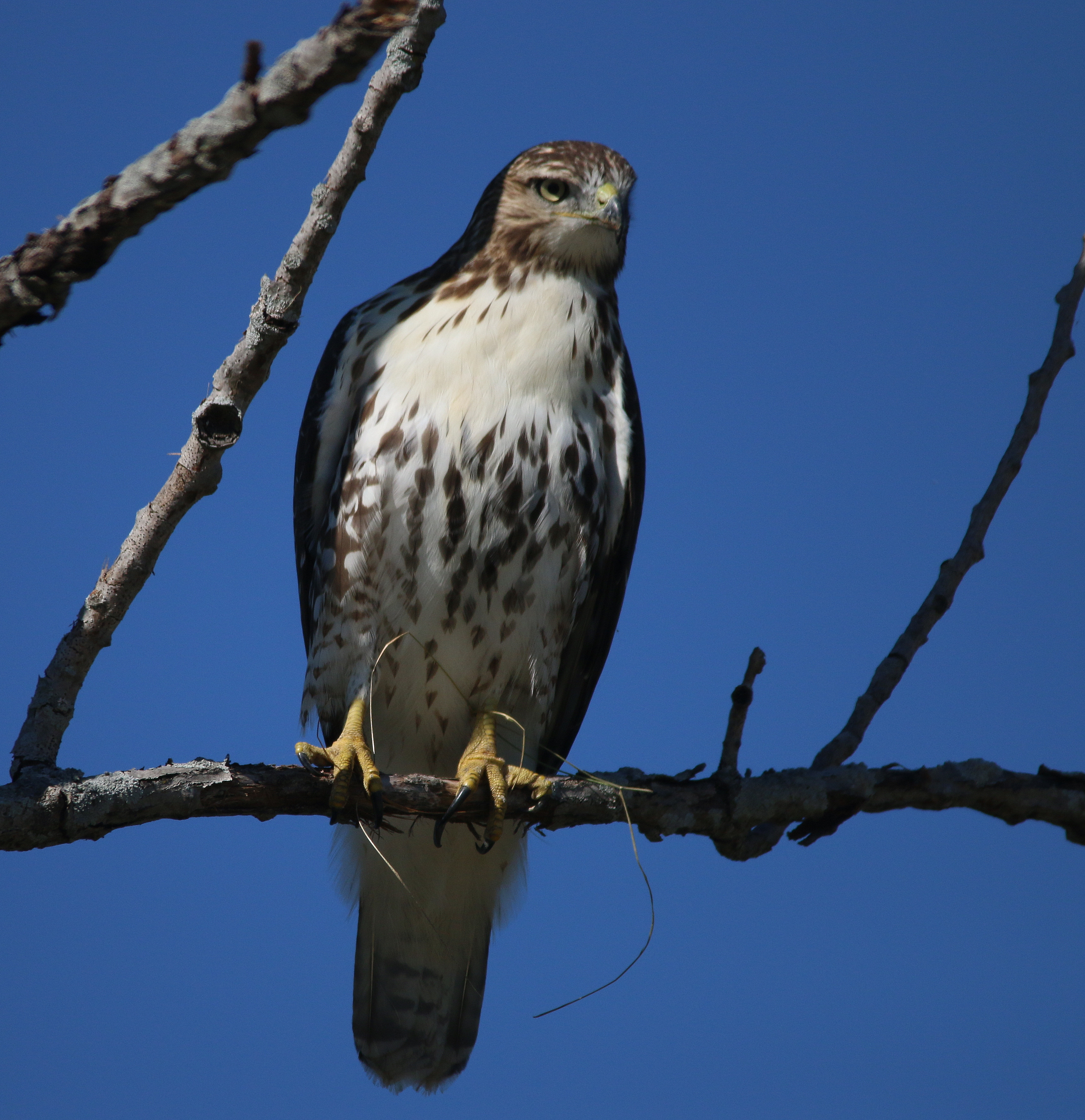
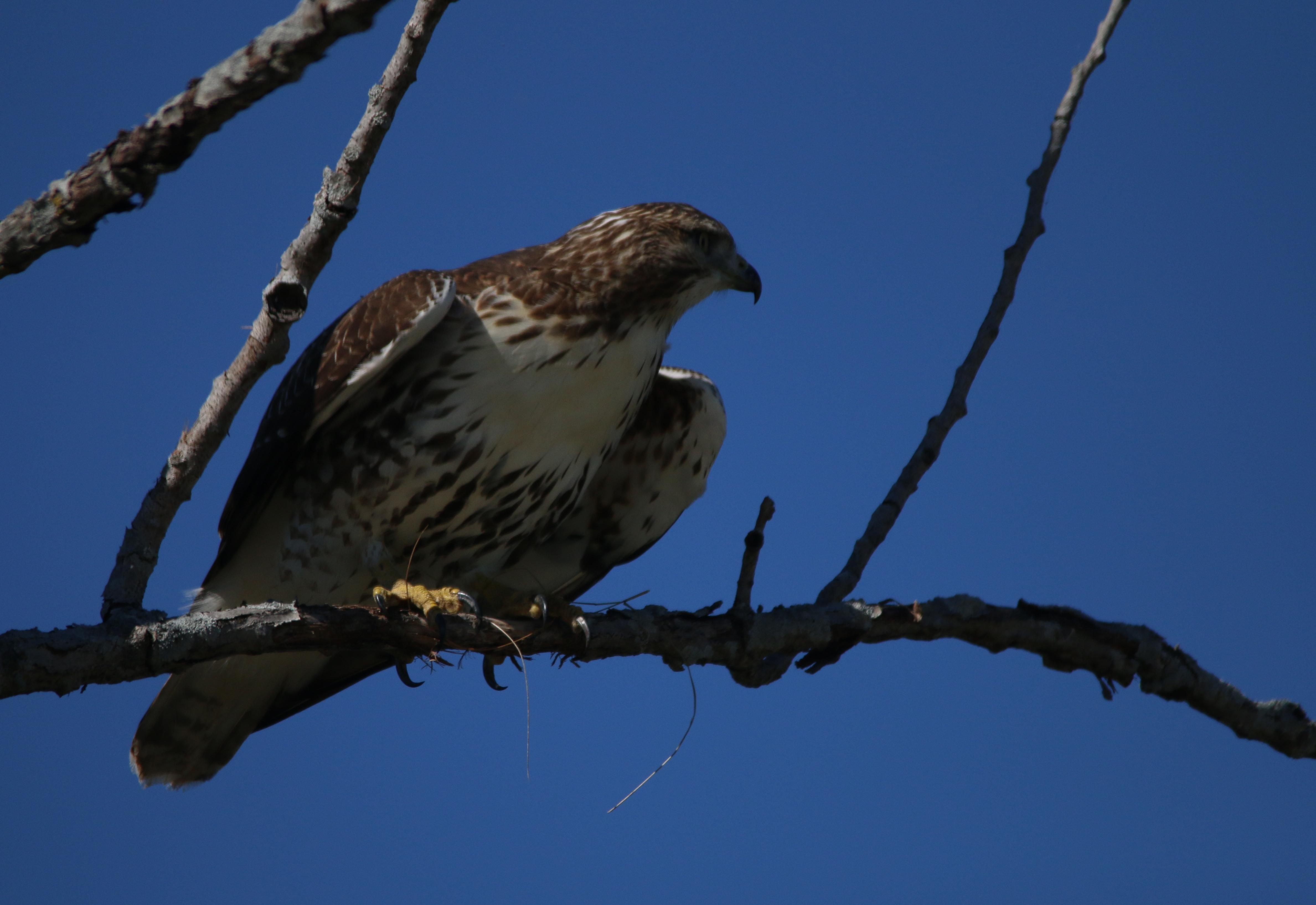
Red-tailed Hawk - juvenile
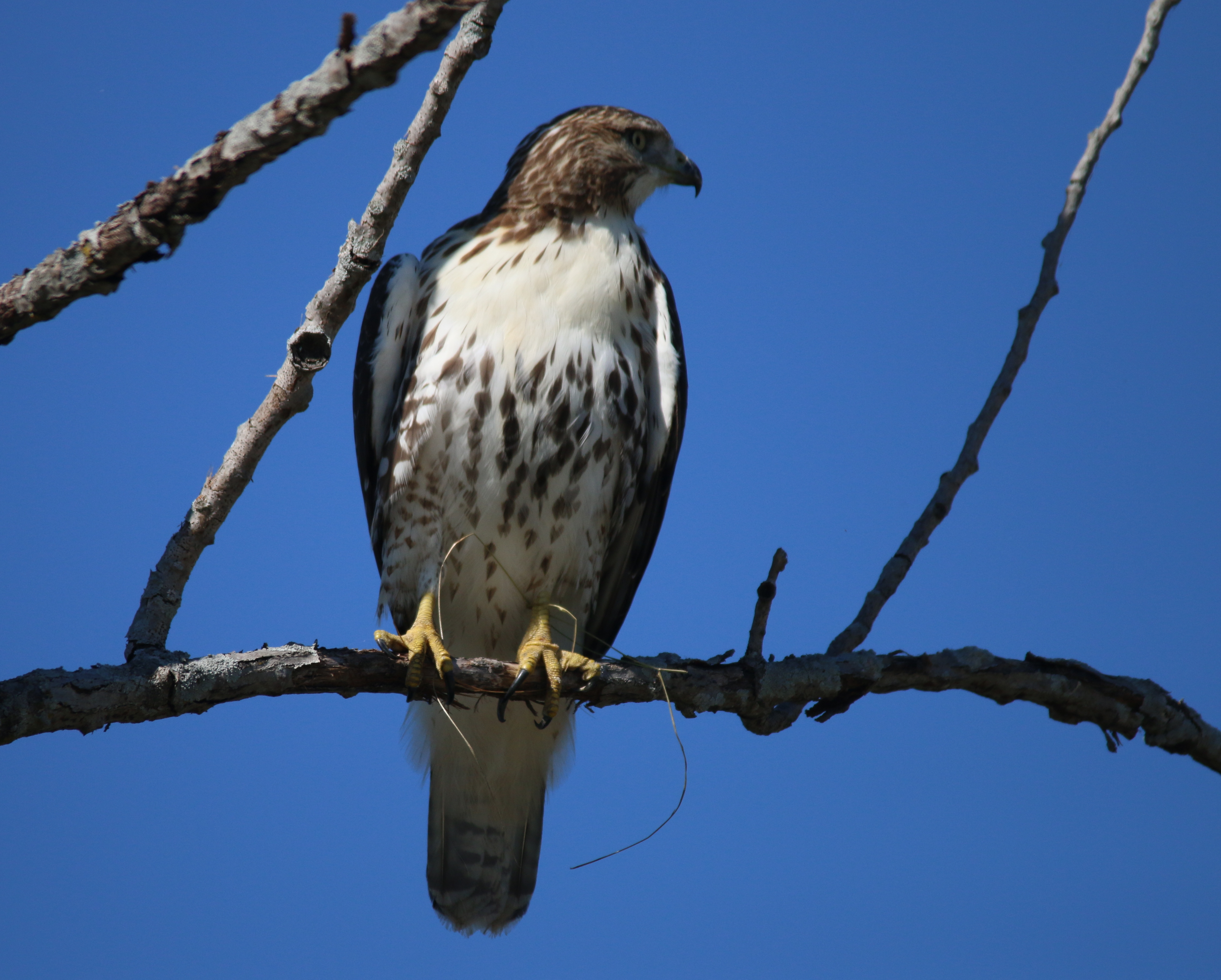
Red-tailed Hawk - juvenile
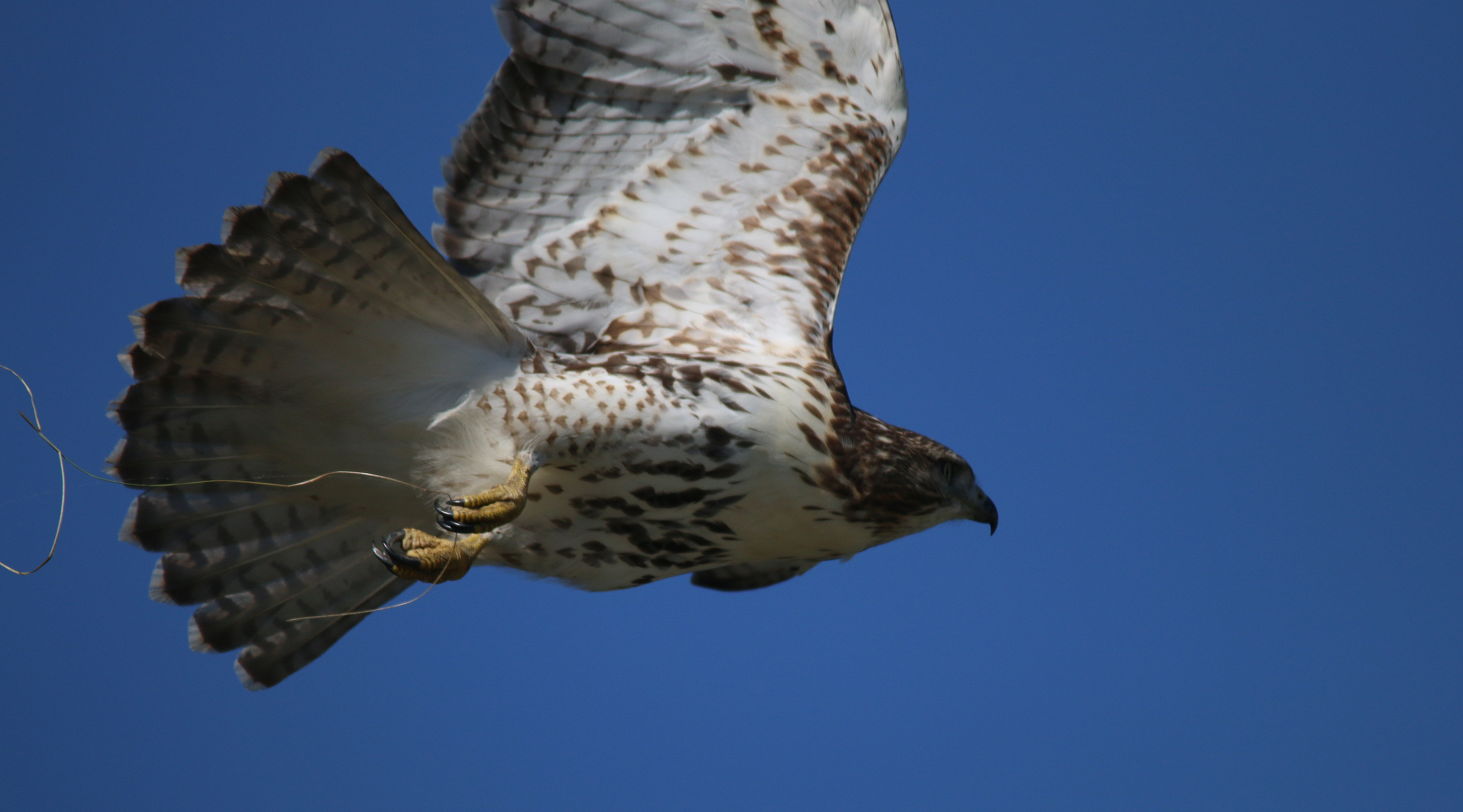
Red-tailed Hawk - juvenile
Red-tailed Hawk - juvenile
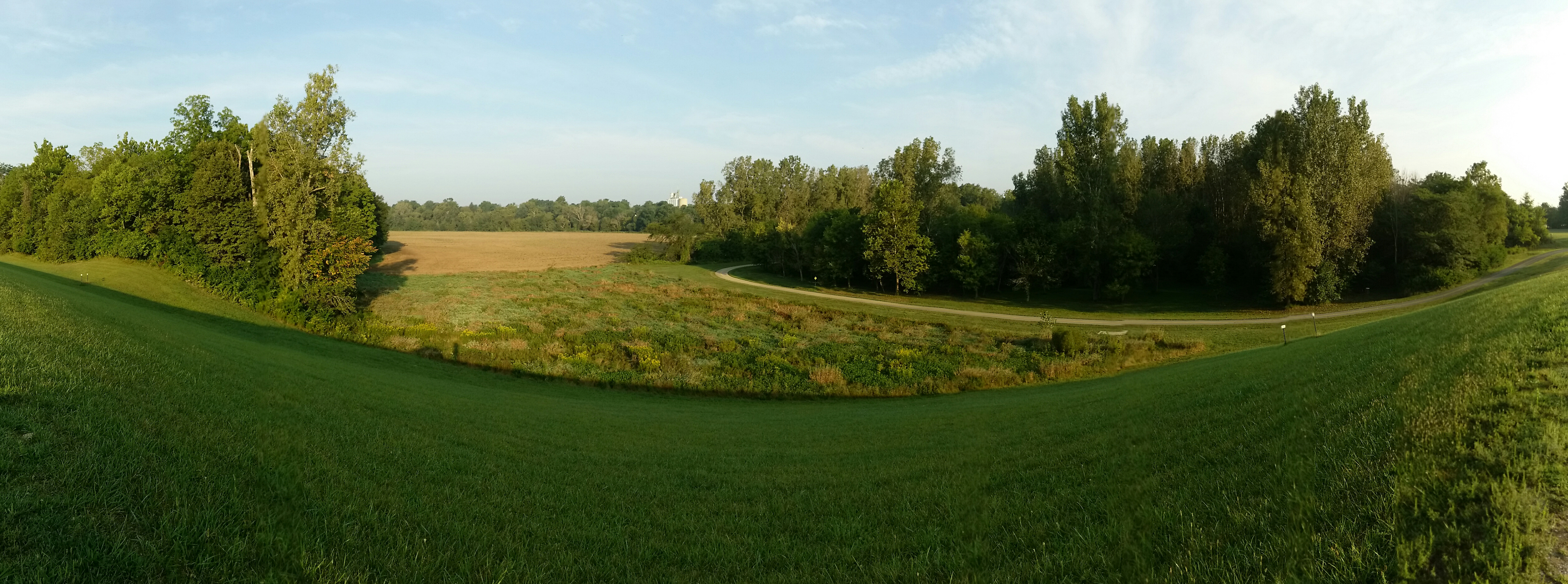
Upper Sandusky Bike Trail
Want some #flowers? Hit us up!

Thursday - Getting to Columbus

Thursday - Getting to Columbus
Mapa de Co Hwy 44, Nevada, OH, EE. UU.
Buscar otro lugar
Lugares cercanos
Municipio de Eden, Ohio, EE. UU.
T-, Nevada, OH, EE. UU.
Municipio de Sycamore, Ohio, EE. UU.
Nevada, Ohio, EE. UU.
Sycamore, Ohio, EE. UU.
Municipio de Tymochtee, Ohio, EE. UU.
Spore Brandywine Rd, Bucyrus, OH, EE. UU.
Rivers Edge Ln, Upper Sandusky, OH, EE. UU.
Municipio de Crane, Ohio, EE. UU.
Winding Hollow Ln, Upper Sandusky, OH, EE. UU.
Mission Dr, Upper Sandusky, OH, EE. UU.
E Bigelow St, Upper Sandusky, OH, EE. UU.
Municipio de Holmes, Ohio, EE. UU.
W Elm Dr, Upper Sandusky, OH, EE. UU.
Upper Sandusky, Ohio, EE. UU.
Polaris Dr, Upper Sandusky, OH, EE. UU.
W Walker St, Upper Sandusky, OH, EE. UU.
Baker Dr, Upper Sandusky, OH, EE. UU.
Quaker Rd, Bucyrus, OH, EE. UU.
Condado de Crawford, Ohio, EE. UU.
Búsquedas recientes
- Horas de salida y puesta de sol de Red Dog Mine, AK, USA
- Horas de salida y puesta de sol de Am Bahnhof, Am bhf, Borken, Germany
- Horas de salida y puesta de sol de 4th St E, Sonoma, CA, EE. UU.
- Horas de salida y puesta de sol de Oakland Ave, Williamsport, PA, EE. UU.
- Horas de salida y puesta de sol de Via Roma, Pieranica CR, Italia
- Horas de salida y puesta de sol de Torre del reloj, Grad, Dubrovnik (Ragusa), Croacia
- Horas de salida y puesta de sol de Trelew, Chubut, Argentina
- Horas de salida y puesta de sol de Hartfords Bluff Cir, Mt Pleasant, SC, EE. UU.
- Horas de salida y puesta de sol de Kita Ward, Kumamoto, Japón
- Horas de salida y puesta de sol de Pingtan Island, Pingtan County, Fuzhou, China