Horas de salida y puesta de sol de Cahill Ln, Weiser, ID, EE. UU.
Location: Estados Unidos > Idaho > Condado de Washington > Weiser >
Zona horaria:
America/Denver
Hora local:
2025-07-12 19:32:21
Longitud:
-116.8905474
Latitud:
44.1670116
Salida de sol de hoy:
06:17:07 AM
Puesta de sol de hoy:
09:29:46 PM
La duración del día hoy:
15h 12m 39s
Salida de sol de mañana:
06:17:59 AM
Puesta de sol de mañana:
09:29:06 PM
La duración del día mañana:
15h 11m 7s
Mostrar todas las fechas
| Fecha | Salida de sol | Puesta de sol | Duración del día |
|---|---|---|---|
| 01/01/2025 | 08:22:47 AM | 05:20:45 PM | 8h 57m 58s |
| 02/01/2025 | 08:22:45 AM | 05:21:41 PM | 8h 58m 56s |
| 03/01/2025 | 08:22:41 AM | 05:22:40 PM | 8h 59m 59s |
| 04/01/2025 | 08:22:34 AM | 05:23:40 PM | 9h 1m 6s |
| 05/01/2025 | 08:22:25 AM | 05:24:42 PM | 9h 2m 17s |
| 06/01/2025 | 08:22:13 AM | 05:25:45 PM | 9h 3m 32s |
| 07/01/2025 | 08:21:59 AM | 05:26:50 PM | 9h 4m 51s |
| 08/01/2025 | 08:21:43 AM | 05:27:56 PM | 9h 6m 13s |
| 09/01/2025 | 08:21:23 AM | 05:29:04 PM | 9h 7m 41s |
| 10/01/2025 | 08:21:02 AM | 05:30:12 PM | 9h 9m 10s |
| 11/01/2025 | 08:20:37 AM | 05:31:23 PM | 9h 10m 46s |
| 12/01/2025 | 08:20:11 AM | 05:32:34 PM | 9h 12m 23s |
| 13/01/2025 | 08:19:42 AM | 05:33:47 PM | 9h 14m 5s |
| 14/01/2025 | 08:19:10 AM | 05:35:00 PM | 9h 15m 50s |
| 15/01/2025 | 08:18:37 AM | 05:36:15 PM | 9h 17m 38s |
| 16/01/2025 | 08:18:01 AM | 05:37:30 PM | 9h 19m 29s |
| 17/01/2025 | 08:17:22 AM | 05:38:47 PM | 9h 21m 25s |
| 18/01/2025 | 08:16:41 AM | 05:40:04 PM | 9h 23m 23s |
| 19/01/2025 | 08:15:58 AM | 05:41:22 PM | 9h 25m 24s |
| 20/01/2025 | 08:15:13 AM | 05:42:41 PM | 9h 27m 28s |
| 21/01/2025 | 08:14:26 AM | 05:44:00 PM | 9h 29m 34s |
| 22/01/2025 | 08:13:36 AM | 05:45:20 PM | 9h 31m 44s |
| 23/01/2025 | 08:12:45 AM | 05:46:41 PM | 9h 33m 56s |
| 24/01/2025 | 08:11:51 AM | 05:48:02 PM | 9h 36m 11s |
| 25/01/2025 | 08:10:55 AM | 05:49:23 PM | 9h 38m 28s |
| 26/01/2025 | 08:09:58 AM | 05:50:45 PM | 9h 40m 47s |
| 27/01/2025 | 08:08:58 AM | 05:52:07 PM | 9h 43m 9s |
| 28/01/2025 | 08:07:56 AM | 05:53:30 PM | 9h 45m 34s |
| 29/01/2025 | 08:06:53 AM | 05:54:53 PM | 9h 48m 0s |
| 30/01/2025 | 08:05:47 AM | 05:56:16 PM | 9h 50m 29s |
| 31/01/2025 | 08:04:40 AM | 05:57:39 PM | 9h 52m 59s |
| 01/02/2025 | 08:03:31 AM | 05:59:02 PM | 9h 55m 31s |
| 02/02/2025 | 08:02:20 AM | 06:00:26 PM | 9h 58m 6s |
| 03/02/2025 | 08:01:08 AM | 06:01:49 PM | 10h 0m 41s |
| 04/02/2025 | 07:59:54 AM | 06:03:13 PM | 10h 3m 19s |
| 05/02/2025 | 07:58:38 AM | 06:04:36 PM | 10h 5m 58s |
| 06/02/2025 | 07:57:21 AM | 06:06:00 PM | 10h 8m 39s |
| 07/02/2025 | 07:56:02 AM | 06:07:23 PM | 10h 11m 21s |
| 08/02/2025 | 07:54:42 AM | 06:08:47 PM | 10h 14m 5s |
| 09/02/2025 | 07:53:20 AM | 06:10:10 PM | 10h 16m 50s |
| 10/02/2025 | 07:51:57 AM | 06:11:33 PM | 10h 19m 36s |
| 11/02/2025 | 07:50:32 AM | 06:12:56 PM | 10h 22m 24s |
| 12/02/2025 | 07:49:06 AM | 06:14:19 PM | 10h 25m 13s |
| 13/02/2025 | 07:47:39 AM | 06:15:42 PM | 10h 28m 3s |
| 14/02/2025 | 07:46:11 AM | 06:17:04 PM | 10h 30m 53s |
| 15/02/2025 | 07:44:41 AM | 06:18:27 PM | 10h 33m 46s |
| 16/02/2025 | 07:43:10 AM | 06:19:49 PM | 10h 36m 39s |
| 17/02/2025 | 07:41:38 AM | 06:21:11 PM | 10h 39m 33s |
| 18/02/2025 | 07:40:05 AM | 06:22:32 PM | 10h 42m 27s |
| 19/02/2025 | 07:38:31 AM | 06:23:53 PM | 10h 45m 22s |
| 20/02/2025 | 07:36:56 AM | 06:25:15 PM | 10h 48m 19s |
| 21/02/2025 | 07:35:20 AM | 06:26:35 PM | 10h 51m 15s |
| 22/02/2025 | 07:33:43 AM | 06:27:56 PM | 10h 54m 13s |
| 23/02/2025 | 07:32:05 AM | 06:29:16 PM | 10h 57m 11s |
| 24/02/2025 | 07:30:26 AM | 06:30:36 PM | 11h 0m 10s |
| 25/02/2025 | 07:28:46 AM | 06:31:56 PM | 11h 3m 10s |
| 26/02/2025 | 07:27:05 AM | 06:33:15 PM | 11h 6m 10s |
| 27/02/2025 | 07:25:24 AM | 06:34:34 PM | 11h 9m 10s |
| 28/02/2025 | 07:23:42 AM | 06:35:53 PM | 11h 12m 11s |
| 01/03/2025 | 07:21:59 AM | 06:37:11 PM | 11h 15m 12s |
| 02/03/2025 | 07:20:16 AM | 06:38:30 PM | 11h 18m 14s |
| 03/03/2025 | 07:18:32 AM | 06:39:48 PM | 11h 21m 16s |
| 04/03/2025 | 07:16:47 AM | 06:41:05 PM | 11h 24m 18s |
| 05/03/2025 | 07:15:02 AM | 06:42:23 PM | 11h 27m 21s |
| 06/03/2025 | 07:13:16 AM | 06:43:40 PM | 11h 30m 24s |
| 07/03/2025 | 07:11:29 AM | 06:44:57 PM | 11h 33m 28s |
| 08/03/2025 | 07:09:43 AM | 06:46:13 PM | 11h 36m 30s |
| 09/03/2025 | 08:08:00 AM | 07:47:27 PM | 11h 39m 27s |
| 10/03/2025 | 08:06:12 AM | 07:48:43 PM | 11h 42m 31s |
| 11/03/2025 | 08:04:24 AM | 07:49:59 PM | 11h 45m 35s |
| 12/03/2025 | 08:02:36 AM | 07:51:15 PM | 11h 48m 39s |
| 13/03/2025 | 08:00:47 AM | 07:52:30 PM | 11h 51m 43s |
| 14/03/2025 | 07:58:58 AM | 07:53:45 PM | 11h 54m 47s |
| 15/03/2025 | 07:57:09 AM | 07:55:00 PM | 11h 57m 51s |
| 16/03/2025 | 07:55:20 AM | 07:56:15 PM | 12h 0m 55s |
| 17/03/2025 | 07:53:30 AM | 07:57:30 PM | 12h 4m 0s |
| 18/03/2025 | 07:51:41 AM | 07:58:45 PM | 12h 7m 4s |
| 19/03/2025 | 07:49:51 AM | 07:59:59 PM | 12h 10m 8s |
| 20/03/2025 | 07:48:01 AM | 08:01:13 PM | 12h 13m 12s |
| 21/03/2025 | 07:46:11 AM | 08:02:28 PM | 12h 16m 17s |
| 22/03/2025 | 07:44:21 AM | 08:03:42 PM | 12h 19m 21s |
| 23/03/2025 | 07:42:31 AM | 08:04:56 PM | 12h 22m 25s |
| 24/03/2025 | 07:40:41 AM | 08:06:09 PM | 12h 25m 28s |
| 25/03/2025 | 07:38:51 AM | 08:07:23 PM | 12h 28m 32s |
| 26/03/2025 | 07:37:01 AM | 08:08:37 PM | 12h 31m 36s |
| 27/03/2025 | 07:35:11 AM | 08:09:50 PM | 12h 34m 39s |
| 28/03/2025 | 07:33:22 AM | 08:11:04 PM | 12h 37m 42s |
| 29/03/2025 | 07:31:33 AM | 08:12:17 PM | 12h 40m 44s |
| 30/03/2025 | 07:29:43 AM | 08:13:30 PM | 12h 43m 47s |
| 31/03/2025 | 07:27:54 AM | 08:14:44 PM | 12h 46m 50s |
| 01/04/2025 | 07:26:06 AM | 08:15:57 PM | 12h 49m 51s |
| 02/04/2025 | 07:24:18 AM | 08:17:10 PM | 12h 52m 52s |
| 03/04/2025 | 07:22:30 AM | 08:18:23 PM | 12h 55m 53s |
| 04/04/2025 | 07:20:42 AM | 08:19:36 PM | 12h 58m 54s |
| 05/04/2025 | 07:18:55 AM | 08:20:50 PM | 13h 1m 55s |
| 06/04/2025 | 07:17:08 AM | 08:22:03 PM | 13h 4m 55s |
| 07/04/2025 | 07:15:22 AM | 08:23:16 PM | 13h 7m 54s |
| 08/04/2025 | 07:13:36 AM | 08:24:29 PM | 13h 10m 53s |
| 09/04/2025 | 07:11:51 AM | 08:25:42 PM | 13h 13m 51s |
| 10/04/2025 | 07:10:06 AM | 08:26:55 PM | 13h 16m 49s |
| 11/04/2025 | 07:08:22 AM | 08:28:08 PM | 13h 19m 46s |
| 12/04/2025 | 07:06:39 AM | 08:29:22 PM | 13h 22m 43s |
| 13/04/2025 | 07:04:56 AM | 08:30:35 PM | 13h 25m 39s |
| 14/04/2025 | 07:03:14 AM | 08:31:48 PM | 13h 28m 34s |
| 15/04/2025 | 07:01:32 AM | 08:33:01 PM | 13h 31m 29s |
| 16/04/2025 | 06:59:52 AM | 08:34:14 PM | 13h 34m 22s |
| 17/04/2025 | 06:58:12 AM | 08:35:27 PM | 13h 37m 15s |
| 18/04/2025 | 06:56:33 AM | 08:36:40 PM | 13h 40m 7s |
| 19/04/2025 | 06:54:55 AM | 08:37:53 PM | 13h 42m 58s |
| 20/04/2025 | 06:53:18 AM | 08:39:06 PM | 13h 45m 48s |
| 21/04/2025 | 06:51:41 AM | 08:40:19 PM | 13h 48m 38s |
| 22/04/2025 | 06:50:06 AM | 08:41:32 PM | 13h 51m 26s |
| 23/04/2025 | 06:48:32 AM | 08:42:45 PM | 13h 54m 13s |
| 24/04/2025 | 06:46:58 AM | 08:43:58 PM | 13h 57m 0s |
| 25/04/2025 | 06:45:26 AM | 08:45:11 PM | 13h 59m 45s |
| 26/04/2025 | 06:43:55 AM | 08:46:23 PM | 14h 2m 28s |
| 27/04/2025 | 06:42:25 AM | 08:47:36 PM | 14h 5m 11s |
| 28/04/2025 | 06:40:56 AM | 08:48:48 PM | 14h 7m 52s |
| 29/04/2025 | 06:39:29 AM | 08:50:00 PM | 14h 10m 31s |
| 30/04/2025 | 06:38:02 AM | 08:51:12 PM | 14h 13m 10s |
| 01/05/2025 | 06:36:37 AM | 08:52:24 PM | 14h 15m 47s |
| 02/05/2025 | 06:35:13 AM | 08:53:36 PM | 14h 18m 23s |
| 03/05/2025 | 06:33:51 AM | 08:54:47 PM | 14h 20m 56s |
| 04/05/2025 | 06:32:30 AM | 08:55:58 PM | 14h 23m 28s |
| 05/05/2025 | 06:31:10 AM | 08:57:09 PM | 14h 25m 59s |
| 06/05/2025 | 06:29:52 AM | 08:58:19 PM | 14h 28m 27s |
| 07/05/2025 | 06:28:35 AM | 08:59:29 PM | 14h 30m 54s |
| 08/05/2025 | 06:27:20 AM | 09:00:39 PM | 14h 33m 19s |
| 09/05/2025 | 06:26:07 AM | 09:01:49 PM | 14h 35m 42s |
| 10/05/2025 | 06:24:55 AM | 09:02:57 PM | 14h 38m 2s |
| 11/05/2025 | 06:23:44 AM | 09:04:06 PM | 14h 40m 22s |
| 12/05/2025 | 06:22:36 AM | 09:05:14 PM | 14h 42m 38s |
| 13/05/2025 | 06:21:29 AM | 09:06:21 PM | 14h 44m 52s |
| 14/05/2025 | 06:20:23 AM | 09:07:28 PM | 14h 47m 5s |
| 15/05/2025 | 06:19:20 AM | 09:08:34 PM | 14h 49m 14s |
| 16/05/2025 | 06:18:18 AM | 09:09:39 PM | 14h 51m 21s |
| 17/05/2025 | 06:17:18 AM | 09:10:44 PM | 14h 53m 26s |
| 18/05/2025 | 06:16:20 AM | 09:11:48 PM | 14h 55m 28s |
| 19/05/2025 | 06:15:24 AM | 09:12:51 PM | 14h 57m 27s |
| 20/05/2025 | 06:14:30 AM | 09:13:53 PM | 14h 59m 23s |
| 21/05/2025 | 06:13:38 AM | 09:14:54 PM | 15h 1m 16s |
| 22/05/2025 | 06:12:47 AM | 09:15:55 PM | 15h 3m 8s |
| 23/05/2025 | 06:11:59 AM | 09:16:54 PM | 15h 4m 55s |
| 24/05/2025 | 06:11:13 AM | 09:17:53 PM | 15h 6m 40s |
| 25/05/2025 | 06:10:29 AM | 09:18:50 PM | 15h 8m 21s |
| 26/05/2025 | 06:09:47 AM | 09:19:46 PM | 15h 9m 59s |
| 27/05/2025 | 06:09:07 AM | 09:20:41 PM | 15h 11m 34s |
| 28/05/2025 | 06:08:29 AM | 09:21:35 PM | 15h 13m 6s |
| 29/05/2025 | 06:07:53 AM | 09:22:27 PM | 15h 14m 34s |
| 30/05/2025 | 06:07:19 AM | 09:23:18 PM | 15h 15m 59s |
| 31/05/2025 | 06:06:48 AM | 09:24:08 PM | 15h 17m 20s |
| 01/06/2025 | 06:06:19 AM | 09:24:57 PM | 15h 18m 38s |
| 02/06/2025 | 06:05:52 AM | 09:25:43 PM | 15h 19m 51s |
| 03/06/2025 | 06:05:27 AM | 09:26:29 PM | 15h 21m 2s |
| 04/06/2025 | 06:05:05 AM | 09:27:13 PM | 15h 22m 8s |
| 05/06/2025 | 06:04:44 AM | 09:27:55 PM | 15h 23m 11s |
| 06/06/2025 | 06:04:26 AM | 09:28:35 PM | 15h 24m 9s |
| 07/06/2025 | 06:04:10 AM | 09:29:14 PM | 15h 25m 4s |
| 08/06/2025 | 06:03:57 AM | 09:29:51 PM | 15h 25m 54s |
| 09/06/2025 | 06:03:46 AM | 09:30:26 PM | 15h 26m 40s |
| 10/06/2025 | 06:03:37 AM | 09:31:00 PM | 15h 27m 23s |
| 11/06/2025 | 06:03:30 AM | 09:31:31 PM | 15h 28m 1s |
| 12/06/2025 | 06:03:25 AM | 09:32:01 PM | 15h 28m 36s |
| 13/06/2025 | 06:03:23 AM | 09:32:29 PM | 15h 29m 6s |
| 14/06/2025 | 06:03:23 AM | 09:32:54 PM | 15h 29m 31s |
| 15/06/2025 | 06:03:25 AM | 09:33:18 PM | 15h 29m 53s |
| 16/06/2025 | 06:03:30 AM | 09:33:40 PM | 15h 30m 10s |
| 17/06/2025 | 06:03:36 AM | 09:33:59 PM | 15h 30m 23s |
| 18/06/2025 | 06:03:45 AM | 09:34:17 PM | 15h 30m 32s |
| 19/06/2025 | 06:03:56 AM | 09:34:32 PM | 15h 30m 36s |
| 20/06/2025 | 06:04:09 AM | 09:34:45 PM | 15h 30m 36s |
| 21/06/2025 | 06:04:24 AM | 09:34:56 PM | 15h 30m 32s |
| 22/06/2025 | 06:04:41 AM | 09:35:05 PM | 15h 30m 24s |
| 23/06/2025 | 06:05:00 AM | 09:35:11 PM | 15h 30m 11s |
| 24/06/2025 | 06:05:22 AM | 09:35:15 PM | 15h 29m 53s |
| 25/06/2025 | 06:05:45 AM | 09:35:17 PM | 15h 29m 32s |
| 26/06/2025 | 06:06:10 AM | 09:35:17 PM | 15h 29m 7s |
| 27/06/2025 | 06:06:37 AM | 09:35:15 PM | 15h 28m 38s |
| 28/06/2025 | 06:07:06 AM | 09:35:10 PM | 15h 28m 4s |
| 29/06/2025 | 06:07:37 AM | 09:35:03 PM | 15h 27m 26s |
| 30/06/2025 | 06:08:10 AM | 09:34:53 PM | 15h 26m 43s |
| 01/07/2025 | 06:08:44 AM | 09:34:41 PM | 15h 25m 57s |
| 02/07/2025 | 06:09:20 AM | 09:34:27 PM | 15h 25m 7s |
| 03/07/2025 | 06:09:58 AM | 09:34:11 PM | 15h 24m 13s |
| 04/07/2025 | 06:10:37 AM | 09:33:52 PM | 15h 23m 15s |
| 05/07/2025 | 06:11:18 AM | 09:33:31 PM | 15h 22m 13s |
| 06/07/2025 | 06:12:01 AM | 09:33:08 PM | 15h 21m 7s |
| 07/07/2025 | 06:12:45 AM | 09:32:43 PM | 15h 19m 58s |
| 08/07/2025 | 06:13:30 AM | 09:32:15 PM | 15h 18m 45s |
| 09/07/2025 | 06:14:17 AM | 09:31:45 PM | 15h 17m 28s |
| 10/07/2025 | 06:15:05 AM | 09:31:13 PM | 15h 16m 8s |
| 11/07/2025 | 06:15:55 AM | 09:30:38 PM | 15h 14m 43s |
| 12/07/2025 | 06:16:45 AM | 09:30:02 PM | 15h 13m 17s |
| 13/07/2025 | 06:17:37 AM | 09:29:23 PM | 15h 11m 46s |
| 14/07/2025 | 06:18:30 AM | 09:28:42 PM | 15h 10m 12s |
| 15/07/2025 | 06:19:24 AM | 09:27:59 PM | 15h 8m 35s |
| 16/07/2025 | 06:20:20 AM | 09:27:14 PM | 15h 6m 54s |
| 17/07/2025 | 06:21:16 AM | 09:26:27 PM | 15h 5m 11s |
| 18/07/2025 | 06:22:13 AM | 09:25:37 PM | 15h 3m 24s |
| 19/07/2025 | 06:23:11 AM | 09:24:46 PM | 15h 1m 35s |
| 20/07/2025 | 06:24:10 AM | 09:23:53 PM | 14h 59m 43s |
| 21/07/2025 | 06:25:10 AM | 09:22:57 PM | 14h 57m 47s |
| 22/07/2025 | 06:26:11 AM | 09:22:00 PM | 14h 55m 49s |
| 23/07/2025 | 06:27:12 AM | 09:21:01 PM | 14h 53m 49s |
| 24/07/2025 | 06:28:14 AM | 09:20:00 PM | 14h 51m 46s |
| 25/07/2025 | 06:29:17 AM | 09:18:57 PM | 14h 49m 40s |
| 26/07/2025 | 06:30:20 AM | 09:17:53 PM | 14h 47m 33s |
| 27/07/2025 | 06:31:24 AM | 09:16:46 PM | 14h 45m 22s |
| 28/07/2025 | 06:32:28 AM | 09:15:38 PM | 14h 43m 10s |
| 29/07/2025 | 06:33:33 AM | 09:14:28 PM | 14h 40m 55s |
| 30/07/2025 | 06:34:38 AM | 09:13:16 PM | 14h 38m 38s |
| 31/07/2025 | 06:35:44 AM | 09:12:03 PM | 14h 36m 19s |
| 01/08/2025 | 06:36:50 AM | 09:10:48 PM | 14h 33m 58s |
| 02/08/2025 | 06:37:57 AM | 09:09:32 PM | 14h 31m 35s |
| 03/08/2025 | 06:39:03 AM | 09:08:14 PM | 14h 29m 11s |
| 04/08/2025 | 06:40:11 AM | 09:06:55 PM | 14h 26m 44s |
| 05/08/2025 | 06:41:18 AM | 09:05:34 PM | 14h 24m 16s |
| 06/08/2025 | 06:42:26 AM | 09:04:12 PM | 14h 21m 46s |
| 07/08/2025 | 06:43:33 AM | 09:02:48 PM | 14h 19m 15s |
| 08/08/2025 | 06:44:41 AM | 09:01:23 PM | 14h 16m 42s |
| 09/08/2025 | 06:45:50 AM | 08:59:57 PM | 14h 14m 7s |
| 10/08/2025 | 06:46:58 AM | 08:58:29 PM | 14h 11m 31s |
| 11/08/2025 | 06:48:07 AM | 08:57:00 PM | 14h 8m 53s |
| 12/08/2025 | 06:49:15 AM | 08:55:30 PM | 14h 6m 15s |
| 13/08/2025 | 06:50:24 AM | 08:53:59 PM | 14h 3m 35s |
| 14/08/2025 | 06:51:33 AM | 08:52:26 PM | 14h 0m 53s |
| 15/08/2025 | 06:52:41 AM | 08:50:52 PM | 13h 58m 11s |
| 16/08/2025 | 06:53:50 AM | 08:49:18 PM | 13h 55m 28s |
| 17/08/2025 | 06:54:59 AM | 08:47:42 PM | 13h 52m 43s |
| 18/08/2025 | 06:56:08 AM | 08:46:05 PM | 13h 49m 57s |
| 19/08/2025 | 06:57:17 AM | 08:44:28 PM | 13h 47m 11s |
| 20/08/2025 | 06:58:26 AM | 08:42:49 PM | 13h 44m 23s |
| 21/08/2025 | 06:59:35 AM | 08:41:10 PM | 13h 41m 35s |
| 22/08/2025 | 07:00:44 AM | 08:39:29 PM | 13h 38m 45s |
| 23/08/2025 | 07:01:53 AM | 08:37:48 PM | 13h 35m 55s |
| 24/08/2025 | 07:03:02 AM | 08:36:06 PM | 13h 33m 4s |
| 25/08/2025 | 07:04:10 AM | 08:34:23 PM | 13h 30m 13s |
| 26/08/2025 | 07:05:19 AM | 08:32:40 PM | 13h 27m 21s |
| 27/08/2025 | 07:06:28 AM | 08:30:55 PM | 13h 24m 27s |
| 28/08/2025 | 07:07:37 AM | 08:29:10 PM | 13h 21m 33s |
| 29/08/2025 | 07:08:46 AM | 08:27:25 PM | 13h 18m 39s |
| 30/08/2025 | 07:09:54 AM | 08:25:39 PM | 13h 15m 45s |
| 31/08/2025 | 07:11:03 AM | 08:23:52 PM | 13h 12m 49s |
| 01/09/2025 | 07:12:12 AM | 08:22:05 PM | 13h 9m 53s |
| 02/09/2025 | 07:13:20 AM | 08:20:17 PM | 13h 6m 57s |
| 03/09/2025 | 07:14:29 AM | 08:18:28 PM | 13h 3m 59s |
| 04/09/2025 | 07:15:37 AM | 08:16:40 PM | 13h 1m 3s |
| 05/09/2025 | 07:16:46 AM | 08:14:50 PM | 12h 58m 4s |
| 06/09/2025 | 07:17:55 AM | 08:13:01 PM | 12h 55m 6s |
| 07/09/2025 | 07:19:03 AM | 08:11:11 PM | 12h 52m 8s |
| 08/09/2025 | 07:20:12 AM | 08:09:21 PM | 12h 49m 9s |
| 09/09/2025 | 07:21:20 AM | 08:07:30 PM | 12h 46m 10s |
| 10/09/2025 | 07:22:29 AM | 08:05:39 PM | 12h 43m 10s |
| 11/09/2025 | 07:23:38 AM | 08:03:48 PM | 12h 40m 10s |
| 12/09/2025 | 07:24:46 AM | 08:01:57 PM | 12h 37m 11s |
| 13/09/2025 | 07:25:55 AM | 08:00:05 PM | 12h 34m 10s |
| 14/09/2025 | 07:27:04 AM | 07:58:13 PM | 12h 31m 9s |
| 15/09/2025 | 07:28:13 AM | 07:56:22 PM | 12h 28m 9s |
| 16/09/2025 | 07:29:22 AM | 07:54:30 PM | 12h 25m 8s |
| 17/09/2025 | 07:30:31 AM | 07:52:38 PM | 12h 22m 7s |
| 18/09/2025 | 07:31:40 AM | 07:50:46 PM | 12h 19m 6s |
| 19/09/2025 | 07:32:49 AM | 07:48:54 PM | 12h 16m 5s |
| 20/09/2025 | 07:33:59 AM | 07:47:02 PM | 12h 13m 3s |
| 21/09/2025 | 07:35:08 AM | 07:45:10 PM | 12h 10m 2s |
| 22/09/2025 | 07:36:18 AM | 07:43:18 PM | 12h 7m 0s |
| 23/09/2025 | 07:37:28 AM | 07:41:27 PM | 12h 3m 59s |
| 24/09/2025 | 07:38:37 AM | 07:39:35 PM | 12h 0m 58s |
| 25/09/2025 | 07:39:48 AM | 07:37:44 PM | 11h 57m 56s |
| 26/09/2025 | 07:40:58 AM | 07:35:53 PM | 11h 54m 55s |
| 27/09/2025 | 07:42:09 AM | 07:34:02 PM | 11h 51m 53s |
| 28/09/2025 | 07:43:19 AM | 07:32:11 PM | 11h 48m 52s |
| 29/09/2025 | 07:44:30 AM | 07:30:21 PM | 11h 45m 51s |
| 30/09/2025 | 07:45:41 AM | 07:28:31 PM | 11h 42m 50s |
| 01/10/2025 | 07:46:53 AM | 07:26:41 PM | 11h 39m 48s |
| 02/10/2025 | 07:48:04 AM | 07:24:52 PM | 11h 36m 48s |
| 03/10/2025 | 07:49:16 AM | 07:23:03 PM | 11h 33m 47s |
| 04/10/2025 | 07:50:29 AM | 07:21:15 PM | 11h 30m 46s |
| 05/10/2025 | 07:51:41 AM | 07:19:27 PM | 11h 27m 46s |
| 06/10/2025 | 07:52:54 AM | 07:17:40 PM | 11h 24m 46s |
| 07/10/2025 | 07:54:07 AM | 07:15:53 PM | 11h 21m 46s |
| 08/10/2025 | 07:55:20 AM | 07:14:07 PM | 11h 18m 47s |
| 09/10/2025 | 07:56:34 AM | 07:12:22 PM | 11h 15m 48s |
| 10/10/2025 | 07:57:48 AM | 07:10:37 PM | 11h 12m 49s |
| 11/10/2025 | 07:59:02 AM | 07:08:53 PM | 11h 9m 51s |
| 12/10/2025 | 08:00:16 AM | 07:07:09 PM | 11h 6m 53s |
| 13/10/2025 | 08:01:31 AM | 07:05:26 PM | 11h 3m 55s |
| 14/10/2025 | 08:02:46 AM | 07:03:44 PM | 11h 0m 58s |
| 15/10/2025 | 08:04:02 AM | 07:02:03 PM | 10h 58m 1s |
| 16/10/2025 | 08:05:17 AM | 07:00:23 PM | 10h 55m 6s |
| 17/10/2025 | 08:06:33 AM | 06:58:44 PM | 10h 52m 11s |
| 18/10/2025 | 08:07:50 AM | 06:57:05 PM | 10h 49m 15s |
| 19/10/2025 | 08:09:06 AM | 06:55:28 PM | 10h 46m 22s |
| 20/10/2025 | 08:10:23 AM | 06:53:52 PM | 10h 43m 29s |
| 21/10/2025 | 08:11:41 AM | 06:52:16 PM | 10h 40m 35s |
| 22/10/2025 | 08:12:58 AM | 06:50:42 PM | 10h 37m 44s |
| 23/10/2025 | 08:14:16 AM | 06:49:09 PM | 10h 34m 53s |
| 24/10/2025 | 08:15:34 AM | 06:47:37 PM | 10h 32m 3s |
| 25/10/2025 | 08:16:52 AM | 06:46:06 PM | 10h 29m 14s |
| 26/10/2025 | 08:18:11 AM | 06:44:36 PM | 10h 26m 25s |
| 27/10/2025 | 08:19:30 AM | 06:43:08 PM | 10h 23m 38s |
| 28/10/2025 | 08:20:49 AM | 06:41:41 PM | 10h 20m 52s |
| 29/10/2025 | 08:22:08 AM | 06:40:15 PM | 10h 18m 7s |
| 30/10/2025 | 08:23:27 AM | 06:38:51 PM | 10h 15m 24s |
| 31/10/2025 | 08:24:47 AM | 06:37:28 PM | 10h 12m 41s |
| 01/11/2025 | 08:26:07 AM | 06:36:07 PM | 10h 10m 0s |
| 02/11/2025 | 07:27:30 AM | 05:34:44 PM | 10h 7m 14s |
| 03/11/2025 | 07:28:50 AM | 05:33:25 PM | 10h 4m 35s |
| 04/11/2025 | 07:30:10 AM | 05:32:09 PM | 10h 1m 59s |
| 05/11/2025 | 07:31:30 AM | 05:30:54 PM | 9h 59m 24s |
| 06/11/2025 | 07:32:50 AM | 05:29:40 PM | 9h 56m 50s |
| 07/11/2025 | 07:34:10 AM | 05:28:29 PM | 9h 54m 19s |
| 08/11/2025 | 07:35:30 AM | 05:27:19 PM | 9h 51m 49s |
| 09/11/2025 | 07:36:50 AM | 05:26:11 PM | 9h 49m 21s |
| 10/11/2025 | 07:38:09 AM | 05:25:04 PM | 9h 46m 55s |
| 11/11/2025 | 07:39:29 AM | 05:24:00 PM | 9h 44m 31s |
| 12/11/2025 | 07:40:48 AM | 05:22:57 PM | 9h 42m 9s |
| 13/11/2025 | 07:42:07 AM | 05:21:57 PM | 9h 39m 50s |
| 14/11/2025 | 07:43:26 AM | 05:20:58 PM | 9h 37m 32s |
| 15/11/2025 | 07:44:45 AM | 05:20:02 PM | 9h 35m 17s |
| 16/11/2025 | 07:46:03 AM | 05:19:07 PM | 9h 33m 4s |
| 17/11/2025 | 07:47:20 AM | 05:18:15 PM | 9h 30m 55s |
| 18/11/2025 | 07:48:38 AM | 05:17:24 PM | 9h 28m 46s |
| 19/11/2025 | 07:49:54 AM | 05:16:36 PM | 9h 26m 42s |
| 20/11/2025 | 07:51:10 AM | 05:15:50 PM | 9h 24m 40s |
| 21/11/2025 | 07:52:26 AM | 05:15:07 PM | 9h 22m 41s |
| 22/11/2025 | 07:53:40 AM | 05:14:25 PM | 9h 20m 45s |
| 23/11/2025 | 07:54:54 AM | 05:13:46 PM | 9h 18m 52s |
| 24/11/2025 | 07:56:07 AM | 05:13:10 PM | 9h 17m 3s |
| 25/11/2025 | 07:57:19 AM | 05:12:35 PM | 9h 15m 16s |
| 26/11/2025 | 07:58:31 AM | 05:12:03 PM | 9h 13m 32s |
| 27/11/2025 | 07:59:41 AM | 05:11:34 PM | 9h 11m 53s |
| 28/11/2025 | 08:00:50 AM | 05:11:07 PM | 9h 10m 17s |
| 29/11/2025 | 08:01:58 AM | 05:10:42 PM | 9h 8m 44s |
| 30/11/2025 | 08:03:05 AM | 05:10:20 PM | 9h 7m 15s |
| 01/12/2025 | 08:04:11 AM | 05:10:00 PM | 9h 5m 49s |
| 02/12/2025 | 08:05:15 AM | 05:09:43 PM | 9h 4m 28s |
| 03/12/2025 | 08:06:18 AM | 05:09:29 PM | 9h 3m 11s |
| 04/12/2025 | 08:07:20 AM | 05:09:17 PM | 9h 1m 57s |
| 05/12/2025 | 08:08:20 AM | 05:09:07 PM | 9h 0m 47s |
| 06/12/2025 | 08:09:18 AM | 05:09:00 PM | 8h 59m 42s |
| 07/12/2025 | 08:10:15 AM | 05:08:56 PM | 8h 58m 41s |
| 08/12/2025 | 08:11:11 AM | 05:08:54 PM | 8h 57m 43s |
| 09/12/2025 | 08:12:04 AM | 05:08:55 PM | 8h 56m 51s |
| 10/12/2025 | 08:12:56 AM | 05:08:59 PM | 8h 56m 3s |
| 11/12/2025 | 08:13:46 AM | 05:09:05 PM | 8h 55m 19s |
| 12/12/2025 | 08:14:34 AM | 05:09:13 PM | 8h 54m 39s |
| 13/12/2025 | 08:15:20 AM | 05:09:25 PM | 8h 54m 5s |
| 14/12/2025 | 08:16:04 AM | 05:09:38 PM | 8h 53m 34s |
| 15/12/2025 | 08:16:46 AM | 05:09:55 PM | 8h 53m 9s |
| 16/12/2025 | 08:17:25 AM | 05:10:13 PM | 8h 52m 48s |
| 17/12/2025 | 08:18:03 AM | 05:10:35 PM | 8h 52m 32s |
| 18/12/2025 | 08:18:39 AM | 05:10:58 PM | 8h 52m 19s |
| 19/12/2025 | 08:19:12 AM | 05:11:25 PM | 8h 52m 13s |
| 20/12/2025 | 08:19:43 AM | 05:11:53 PM | 8h 52m 10s |
| 21/12/2025 | 08:20:11 AM | 05:12:24 PM | 8h 52m 13s |
| 22/12/2025 | 08:20:38 AM | 05:12:58 PM | 8h 52m 20s |
| 23/12/2025 | 08:21:02 AM | 05:13:33 PM | 8h 52m 31s |
| 24/12/2025 | 08:21:23 AM | 05:14:11 PM | 8h 52m 48s |
| 25/12/2025 | 08:21:42 AM | 05:14:51 PM | 8h 53m 9s |
| 26/12/2025 | 08:21:59 AM | 05:15:34 PM | 8h 53m 35s |
| 27/12/2025 | 08:22:13 AM | 05:16:18 PM | 8h 54m 5s |
| 28/12/2025 | 08:22:25 AM | 05:17:05 PM | 8h 54m 40s |
| 29/12/2025 | 08:22:34 AM | 05:17:53 PM | 8h 55m 19s |
| 30/12/2025 | 08:22:41 AM | 05:18:44 PM | 8h 56m 3s |
| 31/12/2025 | 08:22:45 AM | 05:19:37 PM | 8h 56m 52s |
Fotos
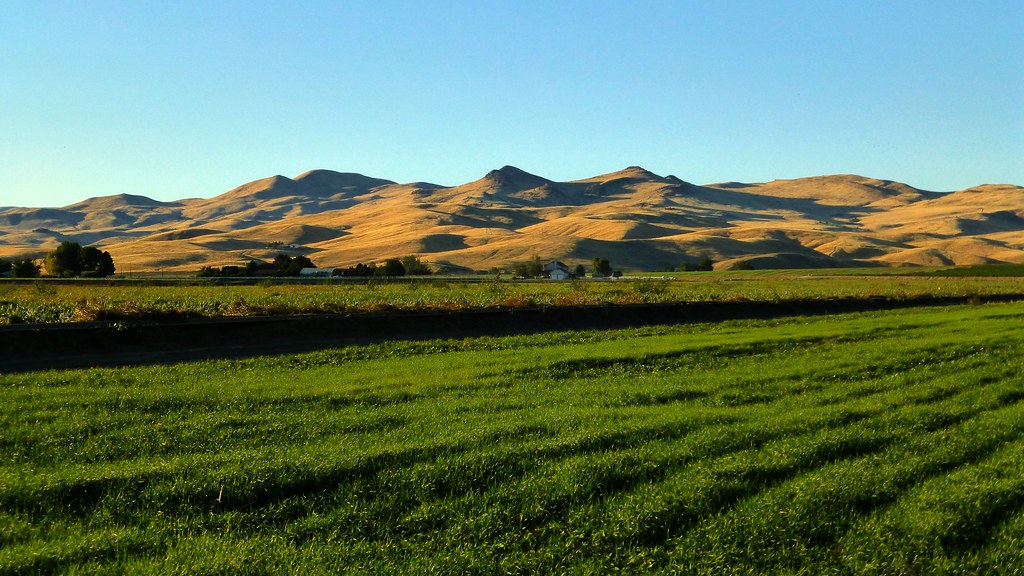
Indianhead Rd, Weiser, ID #3

DSC_2341 (1)

#roadtripping home to Utah and after a couple of stops for the kids, ended up catching the #sunset from the perfect #viewpoint #pnw #oregon #exploreoregon

DSC_2604 (1)

Indianhead Rd, Weiser, ID #1

Indianhead Rd, Weiser, ID #2

DSC_2381 (2)

DSC_2381 (7)

DSC_2381 (8)

DSC_2381 (5)

DSC_2381 (4)

DSC_2381 (1)

DSC_2604 (2)
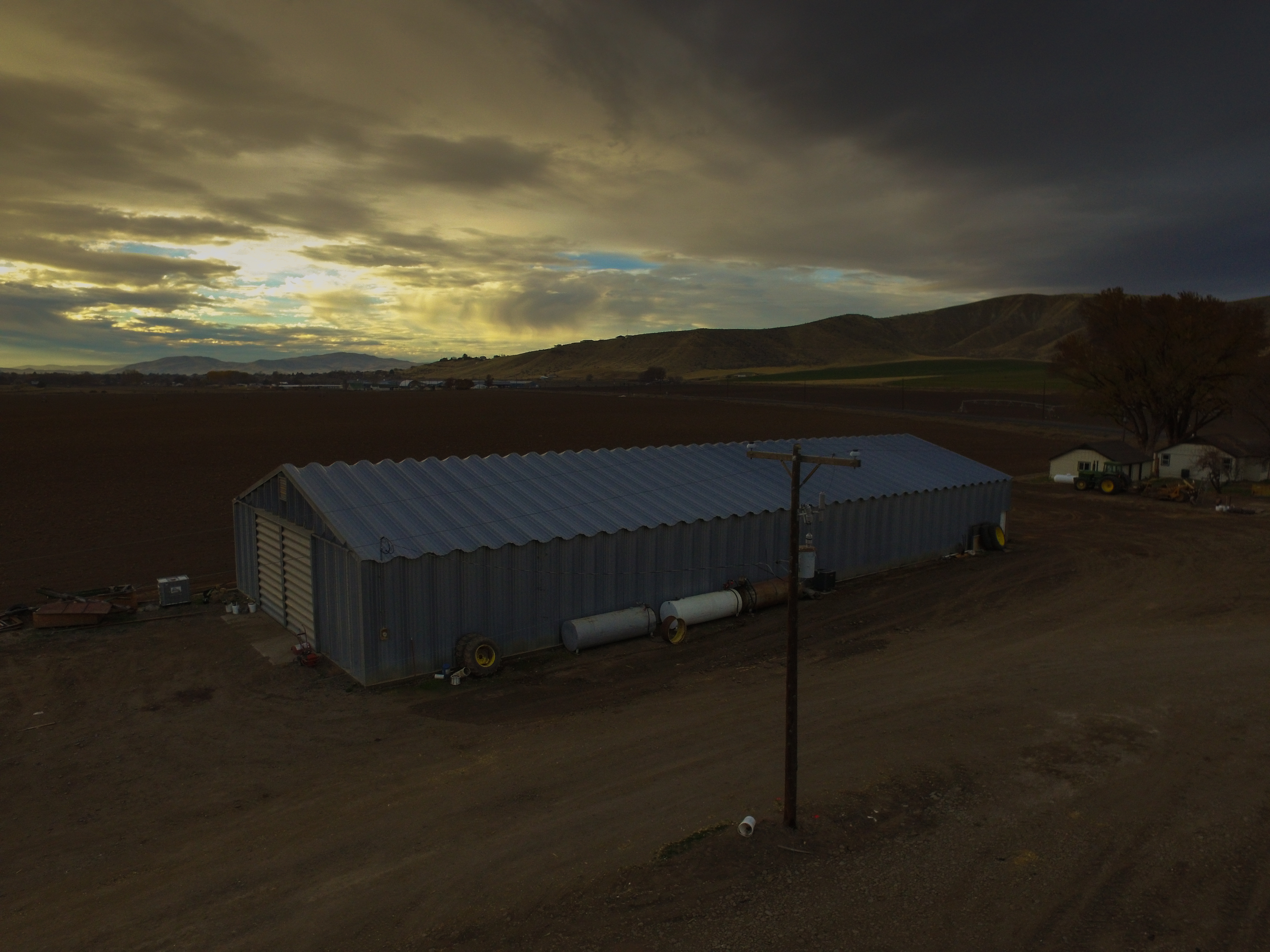
Barn at Sunset
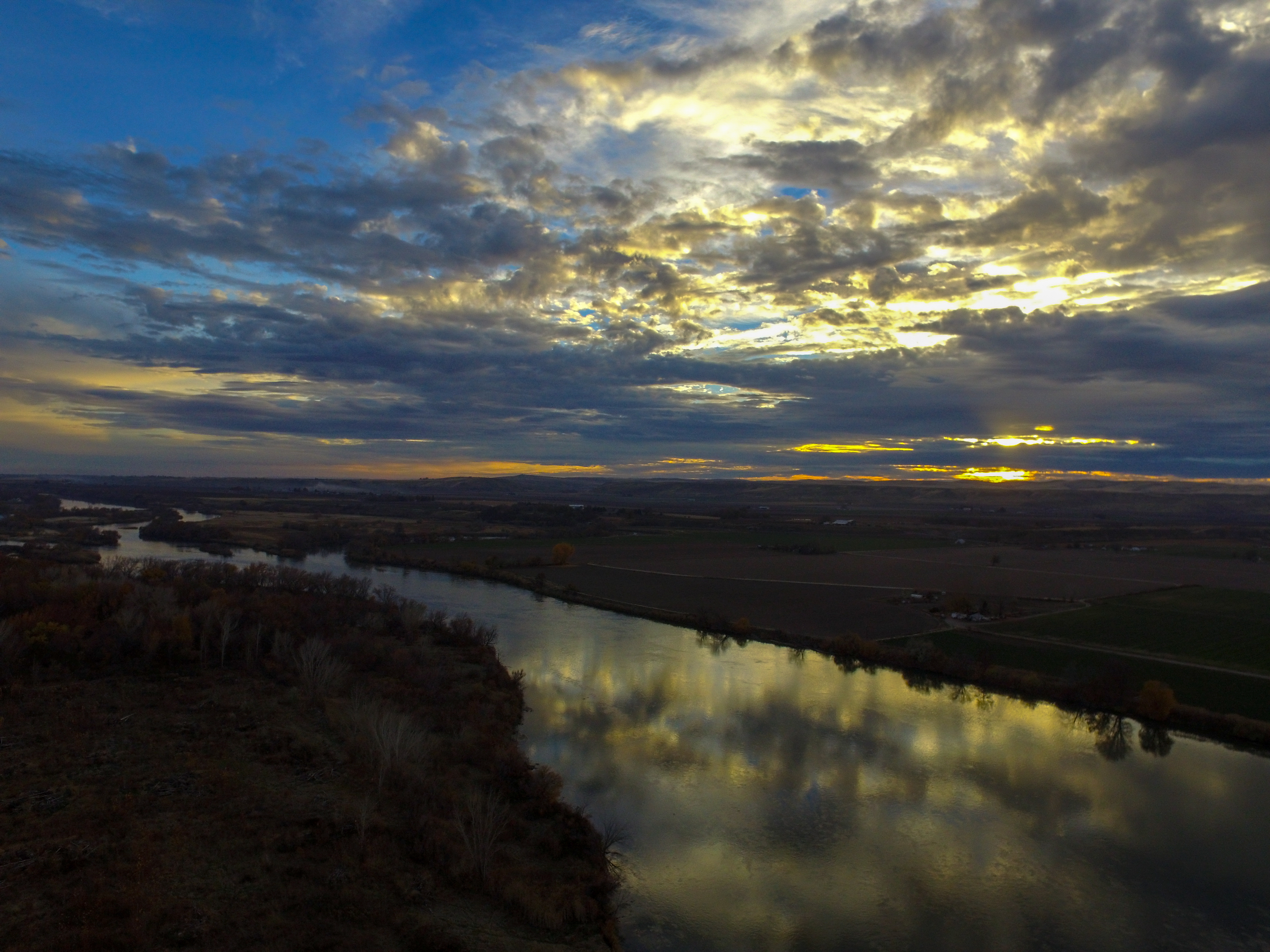
Snake River Sunset

DSC_2381 (6)

DSC_2381 (3)

DSC_2342 (1)
Mapa de Cahill Ln, Weiser, ID, EE. UU.
Buscar otro lugar
Lugares cercanos
River Rd, Payette, ID, EE. UU.
N 6th St, Payette, ID, EE. UU.
Manser Dr, Payette, ID, EE. UU.
Payette, Idaho, EE. UU.
Hyline Rd, Ontario, OR, EE. UU.
Weiser, Idaho, EE. UU.
W 7th St, Weiser, ID, EE. UU.
NW 16th St, Fruitland, ID, EE. UU.
NW 11th St, Ontario, OR, EE. UU.
Southeast 1st Avenue, SE 1st Ave, Ontario, OR, EE. UU.
Ontario, Oregón, EE. UU.
Spring Creek Ln, Fruitland, ID, EE. UU.
W 1st St, Fruitland, ID, EE. UU.
Fruitland, Idaho, EE. UU.
SW 4th St, Fruitland, ID, EE. UU.
Ontario Heights Rd, Ontario, OR, EE. UU.
SW 2nd St, Ontario, OR, EE. UU.
Idaho Elks Hearing and Balance Center: Ontario, SW 4th Ave, Ontario, OR, EE. UU.
57 NW 16th St, Ontario, OR, EE. UU.
River Bend Ln, Weiser, ID, EE. UU.
Búsquedas recientes
- Horas de salida y puesta de sol de Red Dog Mine, AK, USA
- Horas de salida y puesta de sol de Am Bahnhof, Am bhf, Borken, Germany
- Horas de salida y puesta de sol de 4th St E, Sonoma, CA, EE. UU.
- Horas de salida y puesta de sol de Oakland Ave, Williamsport, PA, EE. UU.
- Horas de salida y puesta de sol de Via Roma, Pieranica CR, Italia
- Horas de salida y puesta de sol de Torre del reloj, Grad, Dubrovnik (Ragusa), Croacia
- Horas de salida y puesta de sol de Trelew, Chubut, Argentina
- Horas de salida y puesta de sol de Hartfords Bluff Cir, Mt Pleasant, SC, EE. UU.
- Horas de salida y puesta de sol de Kita Ward, Kumamoto, Japón
- Horas de salida y puesta de sol de Pingtan Island, Pingtan County, Fuzhou, China