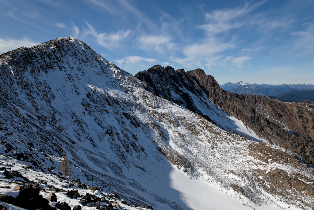
Three Fools Peak, Washington, USA Sonnenaufgang Sonnenuntergang Zeiten
Location: USA > Washington > Okanogan County >
Zeitzone:
America/Los_Angeles
Ortszeit:
2025-06-25 08:42:46
Länge:
-120.7631707
Breite:
48.9006913
Sonnenaufgang Heute:
05:00:43 AM
Sonnenuntergang Heute:
09:11:04 PM
Tageslänge heute:
16h 10m 21s
Sonnenaufgang morgen:
05:01:10 AM
Sonnenuntergang Morgen:
09:11:02 PM
Tageslänge von morgen:
16h 9m 52s
Alle Termine anzeigen
| Datum | Sonnenaufgang | Sonnenuntergang | Tageslänge |
|---|---|---|---|
| 2025-01-01 | 07:56:24 AM | 04:18:09 PM | 8h 21m 45s |
| 2025-01-02 | 07:56:16 AM | 04:19:12 PM | 8h 22m 56s |
| 2025-01-03 | 07:56:04 AM | 04:20:18 PM | 8h 24m 14s |
| 2025-01-04 | 07:55:50 AM | 04:21:26 PM | 8h 25m 36s |
| 2025-01-05 | 07:55:33 AM | 04:22:35 PM | 8h 27m 2s |
| 2025-01-06 | 07:55:13 AM | 04:23:47 PM | 8h 28m 34s |
| 2025-01-07 | 07:54:50 AM | 04:25:01 PM | 8h 30m 11s |
| 2025-01-08 | 07:54:24 AM | 04:26:16 PM | 8h 31m 52s |
| 2025-01-09 | 07:53:55 AM | 04:27:34 PM | 8h 33m 39s |
| 2025-01-10 | 07:53:23 AM | 04:28:53 PM | 8h 35m 30s |
| 2025-01-11 | 07:52:48 AM | 04:30:13 PM | 8h 37m 25s |
| 2025-01-12 | 07:52:11 AM | 04:31:35 PM | 8h 39m 24s |
| 2025-01-13 | 07:51:31 AM | 04:32:59 PM | 8h 41m 28s |
| 2025-01-14 | 07:50:48 AM | 04:34:24 PM | 8h 43m 36s |
| 2025-01-15 | 07:50:02 AM | 04:35:50 PM | 8h 45m 48s |
| 2025-01-16 | 07:49:14 AM | 04:37:18 PM | 8h 48m 4s |
| 2025-01-17 | 07:48:23 AM | 04:38:47 PM | 8h 50m 24s |
| 2025-01-18 | 07:47:30 AM | 04:40:17 PM | 8h 52m 47s |
| 2025-01-19 | 07:46:34 AM | 04:41:47 PM | 8h 55m 13s |
| 2025-01-20 | 07:45:35 AM | 04:43:19 PM | 8h 57m 44s |
| 2025-01-21 | 07:44:34 AM | 04:44:52 PM | 9h 0m 18s |
| 2025-01-22 | 07:43:31 AM | 04:46:26 PM | 9h 2m 55s |
| 2025-01-23 | 07:42:26 AM | 04:48:00 PM | 9h 5m 34s |
| 2025-01-24 | 07:41:18 AM | 04:49:35 PM | 9h 8m 17s |
| 2025-01-25 | 07:40:08 AM | 04:51:11 PM | 9h 11m 3s |
| 2025-01-26 | 07:38:56 AM | 04:52:47 PM | 9h 13m 51s |
| 2025-01-27 | 07:37:41 AM | 04:54:24 PM | 9h 16m 43s |
| 2025-01-28 | 07:36:25 AM | 04:56:01 PM | 9h 19m 36s |
| 2025-01-29 | 07:35:06 AM | 04:57:39 PM | 9h 22m 33s |
| 2025-01-30 | 07:33:46 AM | 04:59:17 PM | 9h 25m 31s |
| 2025-01-31 | 07:32:23 AM | 05:00:55 PM | 9h 28m 32s |
| 2025-02-01 | 07:30:59 AM | 05:02:34 PM | 9h 31m 35s |
| 2025-02-02 | 07:29:33 AM | 05:04:13 PM | 9h 34m 40s |
| 2025-02-03 | 07:28:05 AM | 05:05:52 PM | 9h 37m 47s |
| 2025-02-04 | 07:26:35 AM | 05:07:31 PM | 9h 40m 56s |
| 2025-02-05 | 07:25:04 AM | 05:09:10 PM | 9h 44m 6s |
| 2025-02-06 | 07:23:30 AM | 05:10:49 PM | 9h 47m 19s |
| 2025-02-07 | 07:21:56 AM | 05:12:29 PM | 9h 50m 33s |
| 2025-02-08 | 07:20:19 AM | 05:14:08 PM | 9h 53m 49s |
| 2025-02-09 | 07:18:41 AM | 05:15:47 PM | 9h 57m 6s |
| 2025-02-10 | 07:17:02 AM | 05:17:27 PM | 10h 0m 25s |
| 2025-02-11 | 07:15:21 AM | 05:19:06 PM | 10h 3m 45s |
| 2025-02-12 | 07:13:39 AM | 05:20:45 PM | 10h 7m 6s |
| 2025-02-13 | 07:11:56 AM | 05:22:24 PM | 10h 10m 28s |
| 2025-02-14 | 07:10:11 AM | 05:24:03 PM | 10h 13m 52s |
| 2025-02-15 | 07:08:25 AM | 05:25:41 PM | 10h 17m 16s |
| 2025-02-16 | 07:06:38 AM | 05:27:20 PM | 10h 20m 42s |
| 2025-02-17 | 07:04:49 AM | 05:28:58 PM | 10h 24m 9s |
| 2025-02-18 | 07:03:00 AM | 05:30:36 PM | 10h 27m 36s |
| 2025-02-19 | 07:01:09 AM | 05:32:14 PM | 10h 31m 5s |
| 2025-02-20 | 06:59:17 AM | 05:33:51 PM | 10h 34m 34s |
| 2025-02-21 | 06:57:25 AM | 05:35:28 PM | 10h 38m 3s |
| 2025-02-22 | 06:55:31 AM | 05:37:05 PM | 10h 41m 34s |
| 2025-02-23 | 06:53:36 AM | 05:38:42 PM | 10h 45m 6s |
| 2025-02-24 | 06:51:41 AM | 05:40:19 PM | 10h 48m 38s |
| 2025-02-25 | 06:49:44 AM | 05:41:55 PM | 10h 52m 11s |
| 2025-02-26 | 06:47:47 AM | 05:43:31 PM | 10h 55m 44s |
| 2025-02-27 | 06:45:49 AM | 05:45:07 PM | 10h 59m 18s |
| 2025-02-28 | 06:43:51 AM | 05:46:42 PM | 11h 2m 51s |
| 2025-03-01 | 06:41:51 AM | 05:48:17 PM | 11h 6m 26s |
| 2025-03-02 | 06:39:51 AM | 05:49:52 PM | 11h 10m 1s |
| 2025-03-03 | 06:37:50 AM | 05:51:26 PM | 11h 13m 36s |
| 2025-03-04 | 06:35:49 AM | 05:53:01 PM | 11h 17m 12s |
| 2025-03-05 | 06:33:47 AM | 05:54:35 PM | 11h 20m 48s |
| 2025-03-06 | 06:31:45 AM | 05:56:08 PM | 11h 24m 23s |
| 2025-03-07 | 06:29:42 AM | 05:57:42 PM | 11h 28m 0s |
| 2025-03-08 | 06:27:38 AM | 05:59:15 PM | 11h 31m 37s |
| 2025-03-09 | 07:25:40 AM | 07:00:44 PM | 11h 35m 4s |
| 2025-03-10 | 07:23:35 AM | 07:02:17 PM | 11h 38m 42s |
| 2025-03-11 | 07:21:31 AM | 07:03:50 PM | 11h 42m 19s |
| 2025-03-12 | 07:19:26 AM | 07:05:22 PM | 11h 45m 56s |
| 2025-03-13 | 07:17:20 AM | 07:06:54 PM | 11h 49m 34s |
| 2025-03-14 | 07:15:15 AM | 07:08:26 PM | 11h 53m 11s |
| 2025-03-15 | 07:13:09 AM | 07:09:58 PM | 11h 56m 49s |
| 2025-03-16 | 07:11:03 AM | 07:11:29 PM | 12h 0m 26s |
| 2025-03-17 | 07:08:57 AM | 07:13:01 PM | 12h 4m 4s |
| 2025-03-18 | 07:06:51 AM | 07:14:32 PM | 12h 7m 41s |
| 2025-03-19 | 07:04:44 AM | 07:16:03 PM | 12h 11m 19s |
| 2025-03-20 | 07:02:38 AM | 07:17:34 PM | 12h 14m 56s |
| 2025-03-21 | 07:00:31 AM | 07:19:04 PM | 12h 18m 33s |
| 2025-03-22 | 06:58:24 AM | 07:20:35 PM | 12h 22m 11s |
| 2025-03-23 | 06:56:18 AM | 07:22:06 PM | 12h 25m 48s |
| 2025-03-24 | 06:54:11 AM | 07:23:36 PM | 12h 29m 25s |
| 2025-03-25 | 06:52:05 AM | 07:25:06 PM | 12h 33m 1s |
| 2025-03-26 | 06:49:58 AM | 07:26:36 PM | 12h 36m 38s |
| 2025-03-27 | 06:47:52 AM | 07:28:07 PM | 12h 40m 15s |
| 2025-03-28 | 06:45:46 AM | 07:29:37 PM | 12h 43m 51s |
| 2025-03-29 | 06:43:40 AM | 07:31:07 PM | 12h 47m 27s |
| 2025-03-30 | 06:41:34 AM | 07:32:37 PM | 12h 51m 3s |
| 2025-03-31 | 06:39:29 AM | 07:34:06 PM | 12h 54m 37s |
| 2025-04-01 | 06:37:24 AM | 07:35:36 PM | 12h 58m 12s |
| 2025-04-02 | 06:35:19 AM | 07:37:06 PM | 13h 1m 47s |
| 2025-04-03 | 06:33:14 AM | 07:38:36 PM | 13h 5m 22s |
| 2025-04-04 | 06:31:10 AM | 07:40:06 PM | 13h 8m 56s |
| 2025-04-05 | 06:29:06 AM | 07:41:35 PM | 13h 12m 29s |
| 2025-04-06 | 06:27:03 AM | 07:43:05 PM | 13h 16m 2s |
| 2025-04-07 | 06:25:00 AM | 07:44:35 PM | 13h 19m 35s |
| 2025-04-08 | 06:22:58 AM | 07:46:04 PM | 13h 23m 6s |
| 2025-04-09 | 06:20:56 AM | 07:47:34 PM | 13h 26m 38s |
| 2025-04-10 | 06:18:55 AM | 07:49:04 PM | 13h 30m 9s |
| 2025-04-11 | 06:16:54 AM | 07:50:33 PM | 13h 33m 39s |
| 2025-04-12 | 06:14:55 AM | 07:52:03 PM | 13h 37m 8s |
| 2025-04-13 | 06:12:55 AM | 07:53:33 PM | 13h 40m 38s |
| 2025-04-14 | 06:10:57 AM | 07:55:02 PM | 13h 44m 5s |
| 2025-04-15 | 06:08:59 AM | 07:56:32 PM | 13h 47m 33s |
| 2025-04-16 | 06:07:02 AM | 07:58:01 PM | 13h 50m 59s |
| 2025-04-17 | 06:05:06 AM | 07:59:31 PM | 13h 54m 25s |
| 2025-04-18 | 06:03:11 AM | 08:01:00 PM | 13h 57m 49s |
| 2025-04-19 | 06:01:16 AM | 08:02:30 PM | 14h 1m 14s |
| 2025-04-20 | 05:59:23 AM | 08:03:59 PM | 14h 4m 36s |
| 2025-04-21 | 05:57:30 AM | 08:05:28 PM | 14h 7m 58s |
| 2025-04-22 | 05:55:39 AM | 08:06:57 PM | 14h 11m 18s |
| 2025-04-23 | 05:53:48 AM | 08:08:27 PM | 14h 14m 39s |
| 2025-04-24 | 05:51:59 AM | 08:09:56 PM | 14h 17m 57s |
| 2025-04-25 | 05:50:10 AM | 08:11:24 PM | 14h 21m 14s |
| 2025-04-26 | 05:48:23 AM | 08:12:53 PM | 14h 24m 30s |
| 2025-04-27 | 05:46:37 AM | 08:14:22 PM | 14h 27m 45s |
| 2025-04-28 | 05:44:52 AM | 08:15:50 PM | 14h 30m 58s |
| 2025-04-29 | 05:43:09 AM | 08:17:18 PM | 14h 34m 9s |
| 2025-04-30 | 05:41:27 AM | 08:18:46 PM | 14h 37m 19s |
| 2025-05-01 | 05:39:46 AM | 08:20:13 PM | 14h 40m 27s |
| 2025-05-02 | 05:38:07 AM | 08:21:40 PM | 14h 43m 33s |
| 2025-05-03 | 05:36:29 AM | 08:23:07 PM | 14h 46m 38s |
| 2025-05-04 | 05:34:52 AM | 08:24:34 PM | 14h 49m 42s |
| 2025-05-05 | 05:33:18 AM | 08:26:00 PM | 14h 52m 42s |
| 2025-05-06 | 05:31:44 AM | 08:27:26 PM | 14h 55m 42s |
| 2025-05-07 | 05:30:13 AM | 08:28:51 PM | 14h 58m 38s |
| 2025-05-08 | 05:28:42 AM | 08:30:16 PM | 15h 1m 34s |
| 2025-05-09 | 05:27:14 AM | 08:31:40 PM | 15h 4m 26s |
| 2025-05-10 | 05:25:47 AM | 08:33:03 PM | 15h 7m 16s |
| 2025-05-11 | 05:24:23 AM | 08:34:26 PM | 15h 10m 3s |
| 2025-05-12 | 05:23:00 AM | 08:35:48 PM | 15h 12m 48s |
| 2025-05-13 | 05:21:38 AM | 08:37:10 PM | 15h 15m 32s |
| 2025-05-14 | 05:20:19 AM | 08:38:31 PM | 15h 18m 12s |
| 2025-05-15 | 05:19:02 AM | 08:39:51 PM | 15h 20m 49s |
| 2025-05-16 | 05:17:47 AM | 08:41:10 PM | 15h 23m 23s |
| 2025-05-17 | 05:16:33 AM | 08:42:28 PM | 15h 25m 55s |
| 2025-05-18 | 05:15:22 AM | 08:43:45 PM | 15h 28m 23s |
| 2025-05-19 | 05:14:13 AM | 08:45:01 PM | 15h 30m 48s |
| 2025-05-20 | 05:13:06 AM | 08:46:16 PM | 15h 33m 10s |
| 2025-05-21 | 05:12:02 AM | 08:47:30 PM | 15h 35m 28s |
| 2025-05-22 | 05:10:59 AM | 08:48:42 PM | 15h 37m 43s |
| 2025-05-23 | 05:09:59 AM | 08:49:53 PM | 15h 39m 54s |
| 2025-05-24 | 05:09:01 AM | 08:51:03 PM | 15h 42m 2s |
| 2025-05-25 | 05:08:06 AM | 08:52:12 PM | 15h 44m 6s |
| 2025-05-26 | 05:07:13 AM | 08:53:19 PM | 15h 46m 6s |
| 2025-05-27 | 05:06:22 AM | 08:54:25 PM | 15h 48m 3s |
| 2025-05-28 | 05:05:34 AM | 08:55:29 PM | 15h 49m 55s |
| 2025-05-29 | 05:04:49 AM | 08:56:31 PM | 15h 51m 42s |
| 2025-05-30 | 05:04:05 AM | 08:57:32 PM | 15h 53m 27s |
| 2025-05-31 | 05:03:25 AM | 08:58:31 PM | 15h 55m 6s |
| 2025-06-01 | 05:02:47 AM | 08:59:28 PM | 15h 56m 41s |
| 2025-06-02 | 05:02:11 AM | 09:00:24 PM | 15h 58m 13s |
| 2025-06-03 | 05:01:39 AM | 09:01:17 PM | 15h 59m 38s |
| 2025-06-04 | 05:01:09 AM | 09:02:08 PM | 16h 0m 59s |
| 2025-06-05 | 05:00:41 AM | 09:02:58 PM | 16h 2m 17s |
| 2025-06-06 | 05:00:16 AM | 09:03:45 PM | 16h 3m 29s |
| 2025-06-07 | 04:59:54 AM | 09:04:30 PM | 16h 4m 36s |
| 2025-06-08 | 04:59:35 AM | 09:05:13 PM | 16h 5m 38s |
| 2025-06-09 | 04:59:18 AM | 09:05:54 PM | 16h 6m 36s |
| 2025-06-10 | 04:59:05 AM | 09:06:32 PM | 16h 7m 27s |
| 2025-06-11 | 04:58:53 AM | 09:07:08 PM | 16h 8m 15s |
| 2025-06-12 | 04:58:45 AM | 09:07:42 PM | 16h 8m 57s |
| 2025-06-13 | 04:58:39 AM | 09:08:13 PM | 16h 9m 34s |
| 2025-06-14 | 04:58:36 AM | 09:08:41 PM | 16h 10m 5s |
| 2025-06-15 | 04:58:36 AM | 09:09:07 PM | 16h 10m 31s |
| 2025-06-16 | 04:58:39 AM | 09:09:31 PM | 16h 10m 52s |
| 2025-06-17 | 04:58:44 AM | 09:09:52 PM | 16h 11m 8s |
| 2025-06-18 | 04:58:52 AM | 09:10:10 PM | 16h 11m 18s |
| 2025-06-19 | 04:59:02 AM | 09:10:26 PM | 16h 11m 24s |
| 2025-06-20 | 04:59:15 AM | 09:10:39 PM | 16h 11m 24s |
| 2025-06-21 | 04:59:31 AM | 09:10:49 PM | 16h 11m 18s |
| 2025-06-22 | 04:59:49 AM | 09:10:57 PM | 16h 11m 8s |
| 2025-06-23 | 05:00:10 AM | 09:11:02 PM | 16h 10m 52s |
| 2025-06-24 | 05:00:34 AM | 09:11:04 PM | 16h 10m 30s |
| 2025-06-25 | 05:00:59 AM | 09:11:03 PM | 16h 10m 4s |
| 2025-06-26 | 05:01:28 AM | 09:11:00 PM | 16h 9m 32s |
| 2025-06-27 | 05:01:59 AM | 09:10:53 PM | 16h 8m 54s |
| 2025-06-28 | 05:02:32 AM | 09:10:44 PM | 16h 8m 12s |
| 2025-06-29 | 05:03:07 AM | 09:10:32 PM | 16h 7m 25s |
| 2025-06-30 | 05:03:45 AM | 09:10:18 PM | 16h 6m 33s |
| 2025-07-01 | 05:04:25 AM | 09:10:01 PM | 16h 5m 36s |
| 2025-07-02 | 05:05:07 AM | 09:09:40 PM | 16h 4m 33s |
| 2025-07-03 | 05:05:51 AM | 09:09:18 PM | 16h 3m 27s |
| 2025-07-04 | 05:06:37 AM | 09:08:52 PM | 16h 2m 15s |
| 2025-07-05 | 05:07:26 AM | 09:08:24 PM | 16h 0m 58s |
| 2025-07-06 | 05:08:16 AM | 09:07:53 PM | 15h 59m 37s |
| 2025-07-07 | 05:09:08 AM | 09:07:19 PM | 15h 58m 11s |
| 2025-07-08 | 05:10:02 AM | 09:06:43 PM | 15h 56m 41s |
| 2025-07-09 | 05:10:58 AM | 09:06:04 PM | 15h 55m 6s |
| 2025-07-10 | 05:11:55 AM | 09:05:22 PM | 15h 53m 27s |
| 2025-07-11 | 05:12:55 AM | 09:04:38 PM | 15h 51m 43s |
| 2025-07-12 | 05:13:55 AM | 09:03:51 PM | 15h 49m 56s |
| 2025-07-13 | 05:14:58 AM | 09:03:02 PM | 15h 48m 4s |
| 2025-07-14 | 05:16:01 AM | 09:02:10 PM | 15h 46m 9s |
| 2025-07-15 | 05:17:07 AM | 09:01:16 PM | 15h 44m 9s |
| 2025-07-16 | 05:18:13 AM | 09:00:20 PM | 15h 42m 7s |
| 2025-07-17 | 05:19:21 AM | 08:59:21 PM | 15h 40m 0s |
| 2025-07-18 | 05:20:30 AM | 08:58:20 PM | 15h 37m 50s |
| 2025-07-19 | 05:21:40 AM | 08:57:16 PM | 15h 35m 36s |
| 2025-07-20 | 05:22:52 AM | 08:56:10 PM | 15h 33m 18s |
| 2025-07-21 | 05:24:04 AM | 08:55:02 PM | 15h 30m 58s |
| 2025-07-22 | 05:25:18 AM | 08:53:52 PM | 15h 28m 34s |
| 2025-07-23 | 05:26:32 AM | 08:52:40 PM | 15h 26m 8s |
| 2025-07-24 | 05:27:48 AM | 08:51:25 PM | 15h 23m 37s |
| 2025-07-25 | 05:29:04 AM | 08:50:09 PM | 15h 21m 5s |
| 2025-07-26 | 05:30:21 AM | 08:48:50 PM | 15h 18m 29s |
| 2025-07-27 | 05:31:39 AM | 08:47:30 PM | 15h 15m 51s |
| 2025-07-28 | 05:32:57 AM | 08:46:08 PM | 15h 13m 11s |
| 2025-07-29 | 05:34:16 AM | 08:44:43 PM | 15h 10m 27s |
| 2025-07-30 | 05:35:36 AM | 08:43:17 PM | 15h 7m 41s |
| 2025-07-31 | 05:36:56 AM | 08:41:49 PM | 15h 4m 53s |
| 2025-08-01 | 05:38:17 AM | 08:40:20 PM | 15h 2m 3s |
| 2025-08-02 | 05:39:38 AM | 08:38:49 PM | 14h 59m 11s |
| 2025-08-03 | 05:41:00 AM | 08:37:16 PM | 14h 56m 16s |
| 2025-08-04 | 05:42:22 AM | 08:35:41 PM | 14h 53m 19s |
| 2025-08-05 | 05:43:45 AM | 08:34:05 PM | 14h 50m 20s |
| 2025-08-06 | 05:45:08 AM | 08:32:27 PM | 14h 47m 19s |
| 2025-08-07 | 05:46:31 AM | 08:30:48 PM | 14h 44m 17s |
| 2025-08-08 | 05:47:55 AM | 08:29:08 PM | 14h 41m 13s |
| 2025-08-09 | 05:49:18 AM | 08:27:26 PM | 14h 38m 8s |
| 2025-08-10 | 05:50:42 AM | 08:25:42 PM | 14h 35m 0s |
| 2025-08-11 | 05:52:07 AM | 08:23:58 PM | 14h 31m 51s |
| 2025-08-12 | 05:53:31 AM | 08:22:12 PM | 14h 28m 41s |
| 2025-08-13 | 05:54:55 AM | 08:20:25 PM | 14h 25m 30s |
| 2025-08-14 | 05:56:20 AM | 08:18:36 PM | 14h 22m 16s |
| 2025-08-15 | 05:57:45 AM | 08:16:47 PM | 14h 19m 2s |
| 2025-08-16 | 05:59:09 AM | 08:14:56 PM | 14h 15m 47s |
| 2025-08-17 | 06:00:34 AM | 08:13:04 PM | 14h 12m 30s |
| 2025-08-18 | 06:01:59 AM | 08:11:12 PM | 14h 9m 13s |
| 2025-08-19 | 06:03:24 AM | 08:09:18 PM | 14h 5m 54s |
| 2025-08-20 | 06:04:49 AM | 08:07:23 PM | 14h 2m 34s |
| 2025-08-21 | 06:06:14 AM | 08:05:27 PM | 13h 59m 13s |
| 2025-08-22 | 06:07:40 AM | 08:03:31 PM | 13h 55m 51s |
| 2025-08-23 | 06:09:05 AM | 08:01:33 PM | 13h 52m 28s |
| 2025-08-24 | 06:10:30 AM | 07:59:35 PM | 13h 49m 5s |
| 2025-08-25 | 06:11:55 AM | 07:57:36 PM | 13h 45m 41s |
| 2025-08-26 | 06:13:20 AM | 07:55:36 PM | 13h 42m 16s |
| 2025-08-27 | 06:14:45 AM | 07:53:36 PM | 13h 38m 51s |
| 2025-08-28 | 06:16:10 AM | 07:51:34 PM | 13h 35m 24s |
| 2025-08-29 | 06:17:35 AM | 07:49:32 PM | 13h 31m 57s |
| 2025-08-30 | 06:19:00 AM | 07:47:30 PM | 13h 28m 30s |
| 2025-08-31 | 06:20:25 AM | 07:45:27 PM | 13h 25m 2s |
| 2025-09-01 | 06:21:50 AM | 07:43:23 PM | 13h 21m 33s |
| 2025-09-02 | 06:23:15 AM | 07:41:19 PM | 13h 18m 4s |
| 2025-09-03 | 06:24:40 AM | 07:39:14 PM | 13h 14m 34s |
| 2025-09-04 | 06:26:05 AM | 07:37:09 PM | 13h 11m 4s |
| 2025-09-05 | 06:27:29 AM | 07:35:04 PM | 13h 7m 35s |
| 2025-09-06 | 06:28:54 AM | 07:32:58 PM | 13h 4m 4s |
| 2025-09-07 | 06:30:19 AM | 07:30:51 PM | 13h 0m 32s |
| 2025-09-08 | 06:31:44 AM | 07:28:45 PM | 12h 57m 1s |
| 2025-09-09 | 06:33:09 AM | 07:26:38 PM | 12h 53m 29s |
| 2025-09-10 | 06:34:34 AM | 07:24:31 PM | 12h 49m 57s |
| 2025-09-11 | 06:35:59 AM | 07:22:23 PM | 12h 46m 24s |
| 2025-09-12 | 06:37:24 AM | 07:20:15 PM | 12h 42m 51s |
| 2025-09-13 | 06:38:49 AM | 07:18:08 PM | 12h 39m 19s |
| 2025-09-14 | 06:40:14 AM | 07:16:00 PM | 12h 35m 46s |
| 2025-09-15 | 06:41:40 AM | 07:13:51 PM | 12h 32m 11s |
| 2025-09-16 | 06:43:05 AM | 07:11:43 PM | 12h 28m 38s |
| 2025-09-17 | 06:44:30 AM | 07:09:35 PM | 12h 25m 5s |
| 2025-09-18 | 06:45:56 AM | 07:07:27 PM | 12h 21m 31s |
| 2025-09-19 | 06:47:21 AM | 07:05:18 PM | 12h 17m 57s |
| 2025-09-20 | 06:48:47 AM | 07:03:10 PM | 12h 14m 23s |
| 2025-09-21 | 06:50:13 AM | 07:01:02 PM | 12h 10m 49s |
| 2025-09-22 | 06:51:39 AM | 06:58:54 PM | 12h 7m 15s |
| 2025-09-23 | 06:53:05 AM | 06:56:46 PM | 12h 3m 41s |
| 2025-09-24 | 06:54:32 AM | 06:54:38 PM | 12h 0m 6s |
| 2025-09-25 | 06:55:58 AM | 06:52:30 PM | 11h 56m 32s |
| 2025-09-26 | 06:57:25 AM | 06:50:23 PM | 11h 52m 58s |
| 2025-09-27 | 06:58:52 AM | 06:48:16 PM | 11h 49m 24s |
| 2025-09-28 | 07:00:19 AM | 06:46:09 PM | 11h 45m 50s |
| 2025-09-29 | 07:01:46 AM | 06:44:02 PM | 11h 42m 16s |
| 2025-09-30 | 07:03:14 AM | 06:41:56 PM | 11h 38m 42s |
| 2025-10-01 | 07:04:41 AM | 06:39:50 PM | 11h 35m 9s |
| 2025-10-02 | 07:06:10 AM | 06:37:44 PM | 11h 31m 34s |
| 2025-10-03 | 07:07:38 AM | 06:35:39 PM | 11h 28m 1s |
| 2025-10-04 | 07:09:06 AM | 06:33:34 PM | 11h 24m 28s |
| 2025-10-05 | 07:10:35 AM | 06:31:30 PM | 11h 20m 55s |
| 2025-10-06 | 07:12:04 AM | 06:29:27 PM | 11h 17m 23s |
| 2025-10-07 | 07:13:34 AM | 06:27:23 PM | 11h 13m 49s |
| 2025-10-08 | 07:15:03 AM | 06:25:21 PM | 11h 10m 18s |
| 2025-10-09 | 07:16:33 AM | 06:23:19 PM | 11h 6m 46s |
| 2025-10-10 | 07:18:04 AM | 06:21:18 PM | 11h 3m 14s |
| 2025-10-11 | 07:19:34 AM | 06:19:17 PM | 10h 59m 43s |
| 2025-10-12 | 07:21:05 AM | 06:17:18 PM | 10h 56m 13s |
| 2025-10-13 | 07:22:36 AM | 06:15:19 PM | 10h 52m 43s |
| 2025-10-14 | 07:24:08 AM | 06:13:20 PM | 10h 49m 12s |
| 2025-10-15 | 07:25:39 AM | 06:11:23 PM | 10h 45m 44s |
| 2025-10-16 | 07:27:11 AM | 06:09:27 PM | 10h 42m 16s |
| 2025-10-17 | 07:28:44 AM | 06:07:31 PM | 10h 38m 47s |
| 2025-10-18 | 07:30:16 AM | 06:05:36 PM | 10h 35m 20s |
| 2025-10-19 | 07:31:49 AM | 06:03:43 PM | 10h 31m 54s |
| 2025-10-20 | 07:33:23 AM | 06:01:50 PM | 10h 28m 27s |
| 2025-10-21 | 07:34:56 AM | 05:59:59 PM | 10h 25m 3s |
| 2025-10-22 | 07:36:30 AM | 05:58:08 PM | 10h 21m 38s |
| 2025-10-23 | 07:38:04 AM | 05:56:19 PM | 10h 18m 15s |
| 2025-10-24 | 07:39:38 AM | 05:54:31 PM | 10h 14m 53s |
| 2025-10-25 | 07:41:12 AM | 05:52:44 PM | 10h 11m 32s |
| 2025-10-26 | 07:42:47 AM | 05:50:58 PM | 10h 8m 11s |
| 2025-10-27 | 07:44:22 AM | 05:49:14 PM | 10h 4m 52s |
| 2025-10-28 | 07:45:57 AM | 05:47:31 PM | 10h 1m 34s |
| 2025-10-29 | 07:47:32 AM | 05:45:50 PM | 9h 58m 18s |
| 2025-10-30 | 07:49:07 AM | 05:44:10 PM | 9h 55m 3s |
| 2025-10-31 | 07:50:43 AM | 05:42:31 PM | 9h 51m 48s |
| 2025-11-01 | 07:52:18 AM | 05:40:54 PM | 9h 48m 36s |
| 2025-11-02 | 06:53:58 AM | 04:39:15 PM | 9h 45m 17s |
| 2025-11-03 | 06:55:33 AM | 04:37:41 PM | 9h 42m 8s |
| 2025-11-04 | 06:57:09 AM | 04:36:09 PM | 9h 39m 0s |
| 2025-11-05 | 06:58:44 AM | 04:34:39 PM | 9h 35m 55s |
| 2025-11-06 | 07:00:19 AM | 04:33:10 PM | 9h 32m 51s |
| 2025-11-07 | 07:01:55 AM | 04:31:43 PM | 9h 29m 48s |
| 2025-11-08 | 07:03:30 AM | 04:30:18 PM | 9h 26m 48s |
| 2025-11-09 | 07:05:04 AM | 04:28:56 PM | 9h 23m 52s |
| 2025-11-10 | 07:06:39 AM | 04:27:35 PM | 9h 20m 56s |
| 2025-11-11 | 07:08:13 AM | 04:26:16 PM | 9h 18m 3s |
| 2025-11-12 | 07:09:47 AM | 04:24:59 PM | 9h 15m 12s |
| 2025-11-13 | 07:11:20 AM | 04:23:44 PM | 9h 12m 24s |
| 2025-11-14 | 07:12:53 AM | 04:22:31 PM | 9h 9m 38s |
| 2025-11-15 | 07:14:26 AM | 04:21:21 PM | 9h 6m 55s |
| 2025-11-16 | 07:15:57 AM | 04:20:13 PM | 9h 4m 16s |
| 2025-11-17 | 07:17:29 AM | 04:19:07 PM | 9h 1m 38s |
| 2025-11-18 | 07:18:59 AM | 04:18:03 PM | 8h 59m 4s |
| 2025-11-19 | 07:20:29 AM | 04:17:02 PM | 8h 56m 33s |
| 2025-11-20 | 07:21:58 AM | 04:16:04 PM | 8h 54m 6s |
| 2025-11-21 | 07:23:25 AM | 04:15:07 PM | 8h 51m 42s |
| 2025-11-22 | 07:24:52 AM | 04:14:14 PM | 8h 49m 22s |
| 2025-11-23 | 07:26:18 AM | 04:13:23 PM | 8h 47m 5s |
| 2025-11-24 | 07:27:43 AM | 04:12:34 PM | 8h 44m 51s |
| 2025-11-25 | 07:29:07 AM | 04:11:49 PM | 8h 42m 42s |
| 2025-11-26 | 07:30:29 AM | 04:11:06 PM | 8h 40m 37s |
| 2025-11-27 | 07:31:50 AM | 04:10:25 PM | 8h 38m 35s |
| 2025-11-28 | 07:33:10 AM | 04:09:48 PM | 8h 36m 38s |
| 2025-11-29 | 07:34:28 AM | 04:09:13 PM | 8h 34m 45s |
| 2025-11-30 | 07:35:45 AM | 04:08:42 PM | 8h 32m 57s |
| 2025-12-01 | 07:37:00 AM | 04:08:13 PM | 8h 31m 13s |
| 2025-12-02 | 07:38:13 AM | 04:07:47 PM | 8h 29m 34s |
| 2025-12-03 | 07:39:25 AM | 04:07:24 PM | 8h 27m 59s |
| 2025-12-04 | 07:40:34 AM | 04:07:04 PM | 8h 26m 30s |
| 2025-12-05 | 07:41:42 AM | 04:06:47 PM | 8h 25m 5s |
| 2025-12-06 | 07:42:48 AM | 04:06:32 PM | 8h 23m 44s |
| 2025-12-07 | 07:43:51 AM | 04:06:21 PM | 8h 22m 30s |
| 2025-12-08 | 07:44:53 AM | 04:06:14 PM | 8h 21m 21s |
| 2025-12-09 | 07:45:52 AM | 04:06:09 PM | 8h 20m 17s |
| 2025-12-10 | 07:46:49 AM | 04:06:07 PM | 8h 19m 18s |
| 2025-12-11 | 07:47:44 AM | 04:06:08 PM | 8h 18m 24s |
| 2025-12-12 | 07:48:36 AM | 04:06:12 PM | 8h 17m 36s |
| 2025-12-13 | 07:49:26 AM | 04:06:20 PM | 8h 16m 54s |
| 2025-12-14 | 07:50:14 AM | 04:06:30 PM | 8h 16m 16s |
| 2025-12-15 | 07:50:58 AM | 04:06:44 PM | 8h 15m 46s |
| 2025-12-16 | 07:51:40 AM | 04:07:00 PM | 8h 15m 20s |
| 2025-12-17 | 07:52:20 AM | 04:07:20 PM | 8h 15m 0s |
| 2025-12-18 | 07:52:57 AM | 04:07:42 PM | 8h 14m 45s |
| 2025-12-19 | 07:53:30 AM | 04:08:08 PM | 8h 14m 38s |
| 2025-12-20 | 07:54:02 AM | 04:08:36 PM | 8h 14m 34s |
| 2025-12-21 | 07:54:30 AM | 04:09:08 PM | 8h 14m 38s |
| 2025-12-22 | 07:54:55 AM | 04:09:42 PM | 8h 14m 47s |
| 2025-12-23 | 07:55:18 AM | 04:10:19 PM | 8h 15m 1s |
| 2025-12-24 | 07:55:37 AM | 04:10:59 PM | 8h 15m 22s |
| 2025-12-25 | 07:55:54 AM | 04:11:42 PM | 8h 15m 48s |
| 2025-12-26 | 07:56:07 AM | 04:12:27 PM | 8h 16m 20s |
| 2025-12-27 | 07:56:18 AM | 04:13:16 PM | 8h 16m 58s |
| 2025-12-28 | 07:56:25 AM | 04:14:06 PM | 8h 17m 41s |
| 2025-12-29 | 07:56:30 AM | 04:14:59 PM | 8h 18m 29s |
| 2025-12-30 | 07:56:31 AM | 04:15:55 PM | 8h 19m 24s |
| 2025-12-31 | 07:56:30 AM | 04:16:53 PM | 8h 20m 23s |
Fotos

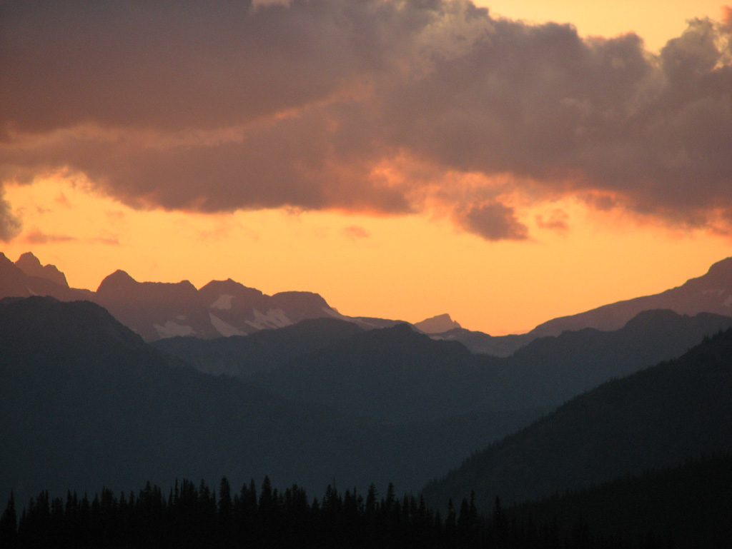
Sunset from Windy Joe

Sunset from Windy Joe
Sunset from Anacortes Crossing 3

More Sunset
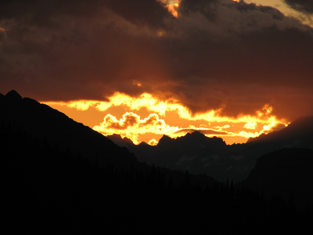
Sunset Near Anacortes Crossing 2

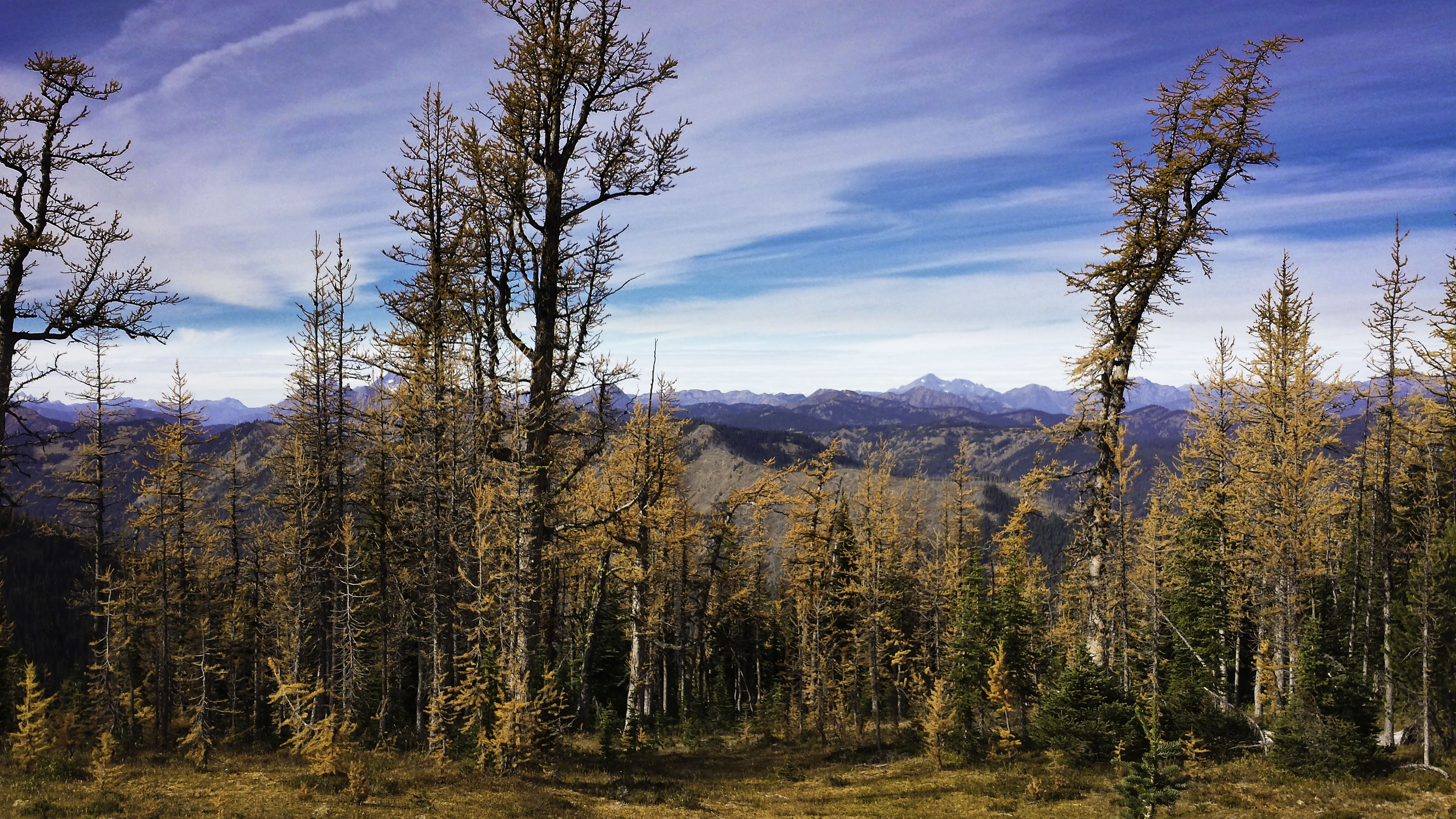
Sunset with the Larches
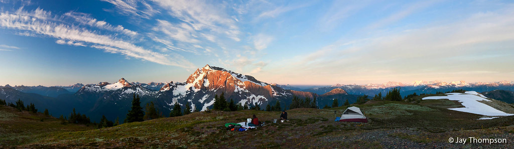
Jack Mountain sunrise panorama from summit camp on Devils Dome - Labor Day 2011
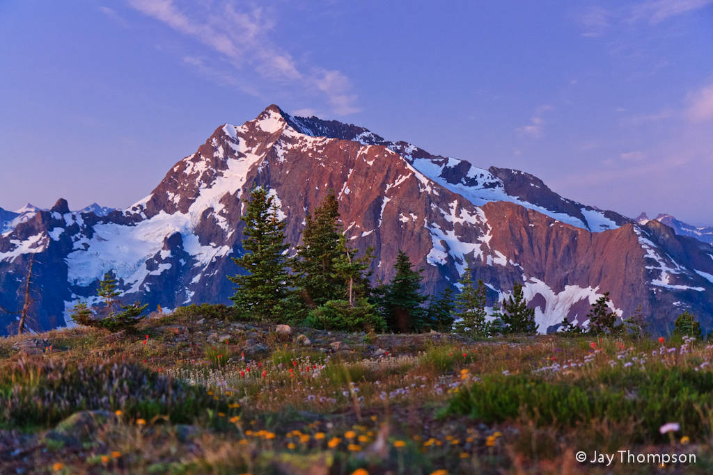
Sunrise on Jack Mountain from Devils Dome - Labor Day 2011
Golden scenery

From the top

3783 Zoomed-in view of Slate Peak (far left) from the Devils Dome Trail northeast of Devils Pass
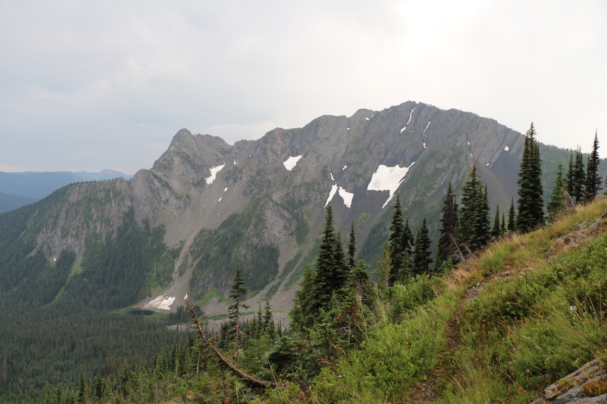
3773 View of the north face of Peak 7270 from the Devils Dome Trail northeast of Devils Pass
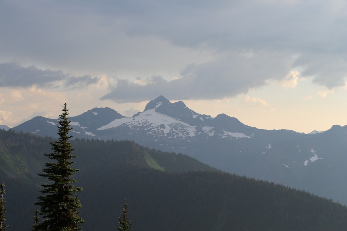
3852 Zoomed-in view of the northeast face of Crater Mountain from the Jackita Ridge Trail near Devils Pass
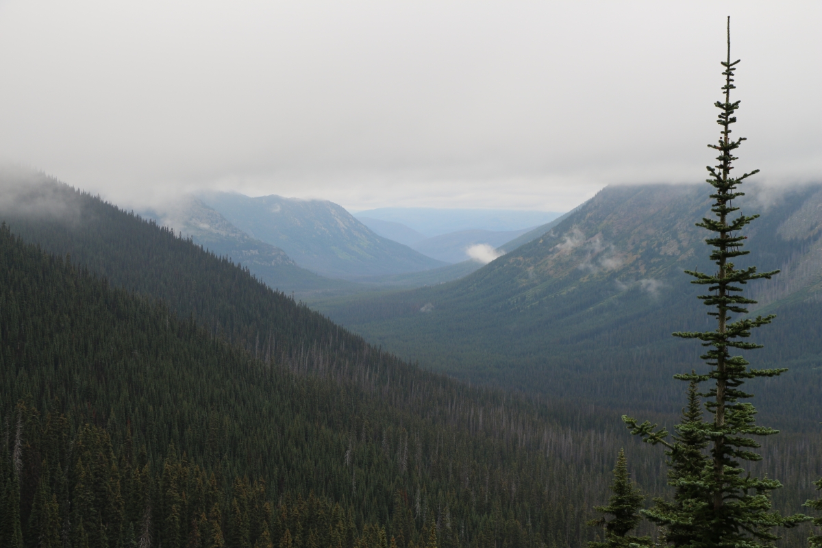
2894 View north into the West Fork Pasayten River Valley from the PCT south of Foggy Pass
Mt Frosty Ridgeline

View into North Cascades National Park from Jakita Ridge
2891 View into the West Fork Pasayten River Valley from the PCT south of Foggy Pass
3754 View from a nice campsite below Peak 7514 on the Devils Dome Trail northeast of Devils Pass

2824 No views except mist from the ridge above the WACS2636 Campsite on the PCT at Windy Pass
Three Fools Peak, Washington, USA Karte
Suchen Sie einen anderen Ort
Nahe Plätze
Powder Mountain, Washington, USA
Blizzard Peak, Washington, USA
Shull Mountain, Washington, USA
Holman Peak, Washington, USA
Soda Peak, Washington, USA
Smoky Mountain, Washington, USA
Mount Winthrop, Mt Winthrop, Washington, USA
Pacific Crest Trail - Northern Terminus, Pacific Crest Trail, Manning Park, WA, USA
Holdover Ridge, Washington, USA
Joker Mountain, Washington, USA
Castle Peak, Washington, USA
Freezeout Mountain, Washington, USA
Jackita Ridge, Washington, USA
Jackita Ridge South, Washington, USA
Point Defiance, Washington, USA
Manning Park Resort, BC-3, Manning Park, BC V0X 1R0, Kanada
Manning Park, BC V0X, Kanada
Lightning Lake, Okanagan-Similkameen H, BC V0X, Kanada
Cascade Lookout, Manning Park, BC V0X 1R0, Kanada
Scimitar Knoll, Fraser Valley B, BC V0X, Kanada
Letzte Suche
- Red Dog Mine, AK, USA Sonnenaufgang Sonnenuntergang Zeiten
- Am Bahnhof, Am bhf, Borken, Germany Sonnenaufgang Sonnenuntergang Zeiten
- 4th St E, Sonoma, CA, USA Sonnenaufgang Sonnenuntergang Zeiten
- Oakland Ave, Williamsport, PA, USA Sonnenaufgang Sonnenuntergang Zeiten
- Via Roma, Pieranica CR, Italien Sonnenaufgang Sonnenuntergang Zeiten
- Glockenturm, Grad, Dubrovnik, Kroatien Sonnenaufgang Sonnenuntergang Zeiten
- Trelew, Chubut Province, Argentina Sonnenaufgang Sonnenuntergang Zeiten
- Hartfords Bluff Cir, Mt Pleasant, SC, USA Sonnenaufgang Sonnenuntergang Zeiten
- Kita-ku, Kumamoto, Präfektur Kumamoto, Japan Sonnenaufgang Sonnenuntergang Zeiten
- Pingtan Island, Pingtan County, Fuzhou, China Sonnenaufgang Sonnenuntergang Zeiten