| Zeitzone: | Brasília-Normalzeit |
|---|---|
| Ortszeit: | Dienstag, 10. November 2026 07:11 |
| Länge: | -44.5550308 |
| Breite: | -18.512178 |
| Sonnenaufgang Heute: | 05:16:05 |
| Sonnenuntergang Heute: | 18:10:52 |
| Tageslänge heute: | 12h 54m 47s |
| Sonnenaufgang morgen: | 05:15:47 |
| Sonnenuntergang Morgen: | 18:11:24 |
| Tageslänge von morgen: | 12h 55m 37s |
: Alle Termine anzeigen
| Datum | Sonnenaufgang | Sonnenuntergang | Tageslänge |
|---|---|---|---|
| 1. Jan. 2026 | 05:25:44 | 18:39:05 | 13h 13m 21s |
| 1. Feb. 2026 | 05:45:06 | 18:40:40 | 12h 55m 33s |
| 1. März 2026 | 05:57:57 | 18:26:34 | 12h 28m 36s |
| 1. Apr. 2026 | 06:05:36 | 18:01:32 | 11h 55m 55s |
| 1. Mai 2026 | 06:13:15 | 17:40:02 | 11h 26m 47s |
| 1. Juni 2026 | 06:24:29 | 17:30:12 | 11h 5m 43s |
| 1. Juli 2026 | 06:32:06 | 17:33:54 | 11h 1m 47s |
| 1. Aug. 2026 | 06:27:29 | 17:44:09 | 11h 16m 39s |
| 1. Sep. 2026 | 06:08:14 | 17:51:59 | 11h 43m 44s |
| 1. Okt. 2026 | 05:42:14 | 17:56:44 | 12h 14m 29s |
| 1. Nov. 2026 | 05:20:08 | 18:05:59 | 12h 45m 51s |
| 10. Nov. 2026 | 05:16:24 | 18:10:20 | 12h 53m 56s |
| 11. Nov. 2026 | 05:16:05 | 18:10:52 | 12h 54m 47s |
| 1. Dez. 2026 | 05:14:00 | 18:22:41 | 13h 8m 41s |
Fotos von Sonnenaufgang und Sonnenuntergang

Sunrise from the Summit at Pico da Bandeira (Flag Peak) at 2,892 m (9,488 ft) MSL, Caparaó National Park, on the border between the municipalities of Ibitirama (Espírito Santo State) and Alto Caparaó by ER's Eyes - Our planet is so beautiful.

Pedra da Mina: Where the Rain Reigns and the Wind Whispers (or Yells). by ER's Eyes - Our planet is so beautiful.

Climbing down Pico do Cristal (Crystal Peak) at 2,770 m (9,087 ft) MSL, Caparaó National Park, Alto Caparaó, Minas Gerais State, Brazil. by ER's Eyes - Our planet is so beautiful.

Twilight from the Summit at Pico da Bandeira (Flag Peak) at 2,892 m (9,488 ft) MSL, Caparaó National Park, on the border between the municipalities of Ibitirama (Espírito Santo State) and Alto Caparaó by ER's Eyes - Our planet is so beautiful.

Sunrise from the Summit at Pico da Bandeira (Flag Peak) at 2,892 m (9,488 ft) MSL, Caparaó National Park, on the border between the municipalities of Ibitirama (Espírito Santo State) and Alto Caparaó by ER's Eyes - Our planet is so beautiful.

Sunrise from the Summit at Pico da Bandeira (Flag Peak) at 2,892 m (9,488 ft) MSL, Caparaó National Park, on the border between the municipalities of Ibitirama (Espírito Santo State) and Alto Caparaó by ER's Eyes - Our planet is so beautiful.

Sunrise from the Summit at Pico da Bandeira (Flag Peak) at 2,892 m (9,488 ft) MSL, Caparaó National Park, on the border between the municipalities of Ibitirama (Espírito Santo State) and Alto Caparaó by ER's Eyes - Our planet is so beautiful.

Sunrise from the Summit at Pico da Bandeira (Flag Peak) at 2,892 m (9,488 ft) MSL, Caparaó National Park, on the border between the municipalities of Ibitirama (Espírito Santo State) and Alto Caparaó by ER's Eyes - Our planet is so beautiful.

Pico da Bandeira (Flag Peak) seen from the Summit of Pico do Calçado (Shoe Peak) at 2,849 m (9,347 ft), Caparaó National Park, on the border between the municipalities of Ibitirama (Espírito Santo Sta by ER's Eyes - Our planet is so beautiful.

Sunrise from the Summit at Pico da Bandeira (Flag Peak) at 2,892 m (9,488 ft) MSL, Caparaó National Park, on the border between the municipalities of Ibitirama (Espírito Santo State) and Alto Caparaó by ER's Eyes - Our planet is so beautiful.

Pedra Duas Irmãs (Two Sisters Stone) at 2,390 m (7,841 ft) MSL, Trail by way of Caparaó-Capixaba, Caparaó National Park, Alto Caparaó, Minas Gerais State, Brazil. by ER's Eyes - Our planet is so beautiful.

Sunrise from the Cruzeiro at the Summit at Pico da Bandeira (Flag Peak) at 2,892 m (9,488 ft) MSL, Caparaó National Park, on the border between the municipalities of Ibitirama (Espírito Santo State) a by ER's Eyes - Our planet is so beautiful.

Sunrise from the Summit at Pico da Bandeira (Flag Peak) at 2,892 m (9,488 ft) MSL, Caparaó National Park, on the border between the municipalities of Ibitirama (Espírito Santo State) and Alto Caparaó by ER's Eyes - Our planet is so beautiful.

Sunrise from the Summit at Pico da Bandeira (Flag Peak) at 2,892 m (9,488 ft) MSL, Caparaó National Park, on the border between the municipalities of Ibitirama (Espírito Santo State) and Alto Caparaó by ER's Eyes - Our planet is so beautiful.

Trail by way of Caparaó-Capixaba at 2,480 m (8,136 ft) MSL, Caparaó National Park, Dores do Rio Preto, Espírito Santo State, Brazil. by ER's Eyes - Our planet is so beautiful.

Trail by way of Caparaó-Capixaba at 2,540 m (8,333 ft) MSL, Caparaó National Park, Dores do Rio Preto, Espírito Santo State, Brazil. by ER's Eyes - Our planet is so beautiful.

Sunset in the Wolf's Farm by de Paula FJ

Church of St. Francis of Paula by Marcelo De Podestá

Casa da Serra Caparaó (Caparao Mountain Range House) at 1,220 m (4,002 ft) MSL, Forquilha do Rio, Minas Gerais State, Brazil. by ER's Eyes - Our planet is so beautiful.

Church of St. Francis of Paula by Marcelo De Podestá

Sunset in the Cerrado of Brazil by Francisco Aragão

Cerrado de Goiás / Brazilian Savannah by Francisco Aragão

Paisagem rural - Rural scene by Dircinha -

Golden Sky by de Paula FJ

Fogão a lenha do Restaurante Xapurí em Belo Horizonte, Estado de MG, Brasil - Wood stove of Xapuri Restaurant in Belo Horizonte, Minas Gerais state, Brazil by de Paula FJ

Ouro Preto & Sunset by Luís Henrique Boucault
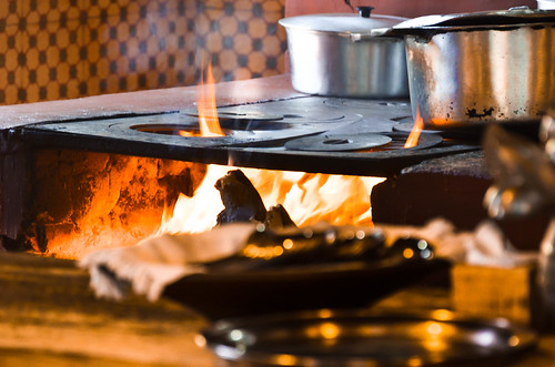
Fogão a lenha do Restaurante Xapurí em Belo Horizonte, Estado de MG, Brasil - Wood stove of Xapuri Restaurant in Belo Horizonte, Minas Gerais state, Brazil by de Paula FJ

Fogão a lenha do Restaurante Xapurí em Belo Horizonte, Estado de MG, Brasil - Wood stove of Xapuri Restaurant in Belo Horizonte, Minas Gerais state, Brazil by de Paula FJ

Sunrise in the Wolf's Farm by de Paula FJ

Vista parcial de Uberaba by Francisco Aragão

"The Brazillian coffe" @ Minas Gerais - Brazil by higordepadua

Golden Sky by de Paula FJ
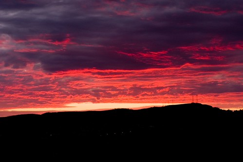
30,000 views. Thank you! by Ricardo Carreon

"quem te conhece não esquece jamais... óh Minas Gerais!" by Ruby Augusto
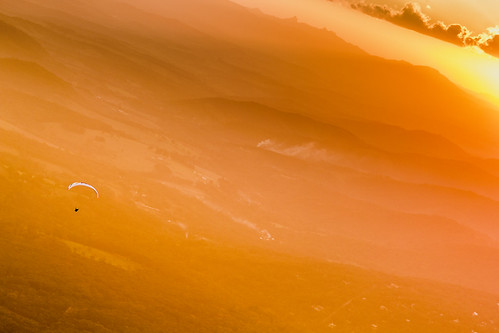
Paragliding at Sunset Over Hazy Mountain Range by Marcos Felipe T.D.

Around the River Sao Francisco, Brazil by MadonnaJ

Golden Tree by de Paula FJ
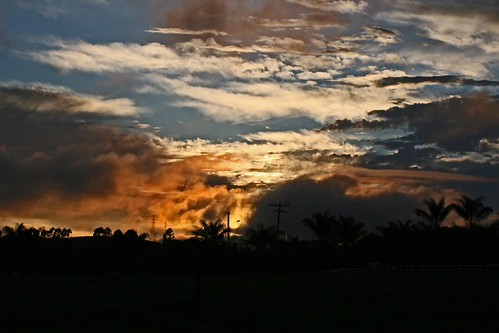
Amanhecer Mineiro by Ricardo Carreon

Reflective sky by Marcel Figueiredo
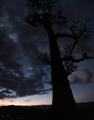
Ent by 웃 JuareZeitgeist

Church of St. Francis of Paula by Marcelo De Podestá
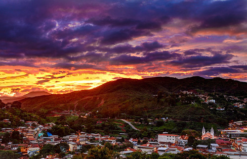
The sunset in late spring by RST Photo & Film

The Sun breaks the darkness... by Vinicius Montgomery - Itajubá-MG - Brazil
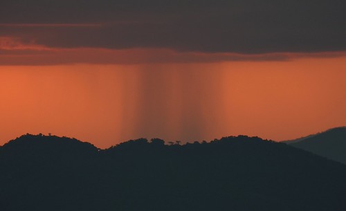
Dark rain in the south of Minas Gerais state, Brazil. by Vinicius Montgomery - Itajubá-MG - Brazil

Perseid's Moon | Lua dos Perseídeos by 웃 JuareZeitgeist
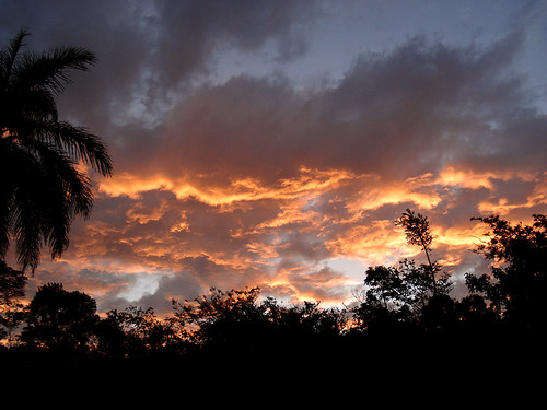
TaKe Me HoMe by HeLMut G.
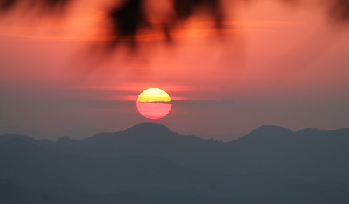
Is this real? by Vinicius Montgomery - Itajubá-MG - Brazil

Dew by Marcelo Brando

Campo Grande by Emiel Dekker

O Último Por-de-Sol. by JucaFii

Mountains and the orange sky of Itajubá. by Vinicius Montgomery - Itajubá-MG - Brazil

Sunset in a hot and dry day at the end of winter in Itajubá. by Vinicius Montgomery - Itajubá-MG - Brazil

Sun and the Mountains by Vinicius Montgomery - Itajubá-MG - Brazil
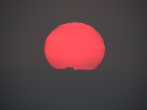
Red Sun in the mountains of South of Minas Gerais state, Brazil. by Vinicius Montgomery - Itajubá-MG - Brazil

Sun in the clouds... by Vinicius Montgomery - Itajubá-MG - Brazil

Just before the sunset in the mountains of Minas Gerais, Brazil. by Vinicius Montgomery - Itajubá-MG - Brazil
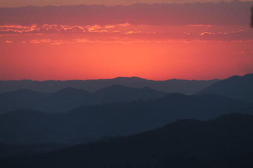
Just after the Sunset by Vinicius Montgomery - Itajubá-MG - Brazil

Rio de Janeiro by Tula_tulipa
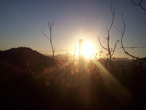
Pôr-do-sol pelo caminho... by NatiLady