Green Valley Falls, California, USA Sonnenaufgang Sonnenuntergang Zeiten
Location: USA > Kalifornien > San Diego County > Descanso >
Zeitzone:
America/Los_Angeles
Ortszeit:
2025-06-23 01:27:37
Länge:
-116.5833521
Breite:
32.9000494
Sonnenaufgang Heute:
05:39:06 AM
Sonnenuntergang Heute:
07:58:23 PM
Tageslänge heute:
14h 19m 17s
Sonnenaufgang morgen:
05:39:24 AM
Sonnenuntergang Morgen:
07:58:31 PM
Tageslänge von morgen:
14h 19m 7s
Alle Termine anzeigen
| Datum | Sonnenaufgang | Sonnenuntergang | Tageslänge |
|---|---|---|---|
| 2025-01-01 | 06:49:15 AM | 04:51:51 PM | 10h 2m 36s |
| 2025-01-02 | 06:49:24 AM | 04:52:37 PM | 10h 3m 13s |
| 2025-01-03 | 06:49:31 AM | 04:53:25 PM | 10h 3m 54s |
| 2025-01-04 | 06:49:36 AM | 04:54:12 PM | 10h 4m 36s |
| 2025-01-05 | 06:49:40 AM | 04:55:01 PM | 10h 5m 21s |
| 2025-01-06 | 06:49:42 AM | 04:55:51 PM | 10h 6m 9s |
| 2025-01-07 | 06:49:42 AM | 04:56:41 PM | 10h 6m 59s |
| 2025-01-08 | 06:49:40 AM | 04:57:33 PM | 10h 7m 53s |
| 2025-01-09 | 06:49:37 AM | 04:58:24 PM | 10h 8m 47s |
| 2025-01-10 | 06:49:32 AM | 04:59:17 PM | 10h 9m 45s |
| 2025-01-11 | 06:49:24 AM | 05:00:10 PM | 10h 10m 46s |
| 2025-01-12 | 06:49:15 AM | 05:01:04 PM | 10h 11m 49s |
| 2025-01-13 | 06:49:05 AM | 05:01:58 PM | 10h 12m 53s |
| 2025-01-14 | 06:48:52 AM | 05:02:53 PM | 10h 14m 1s |
| 2025-01-15 | 06:48:38 AM | 05:03:48 PM | 10h 15m 10s |
| 2025-01-16 | 06:48:22 AM | 05:04:43 PM | 10h 16m 21s |
| 2025-01-17 | 06:48:04 AM | 05:05:39 PM | 10h 17m 35s |
| 2025-01-18 | 06:47:44 AM | 05:06:35 PM | 10h 18m 51s |
| 2025-01-19 | 06:47:23 AM | 05:07:32 PM | 10h 20m 9s |
| 2025-01-20 | 06:47:00 AM | 05:08:28 PM | 10h 21m 28s |
| 2025-01-21 | 06:46:35 AM | 05:09:25 PM | 10h 22m 50s |
| 2025-01-22 | 06:46:08 AM | 05:10:22 PM | 10h 24m 14s |
| 2025-01-23 | 06:45:40 AM | 05:11:19 PM | 10h 25m 39s |
| 2025-01-24 | 06:45:10 AM | 05:12:16 PM | 10h 27m 6s |
| 2025-01-25 | 06:44:39 AM | 05:13:13 PM | 10h 28m 34s |
| 2025-01-26 | 06:44:06 AM | 05:14:10 PM | 10h 30m 4s |
| 2025-01-27 | 06:43:31 AM | 05:15:08 PM | 10h 31m 37s |
| 2025-01-28 | 06:42:55 AM | 05:16:05 PM | 10h 33m 10s |
| 2025-01-29 | 06:42:17 AM | 05:17:02 PM | 10h 34m 45s |
| 2025-01-30 | 06:41:37 AM | 05:17:59 PM | 10h 36m 22s |
| 2025-01-31 | 06:40:56 AM | 05:18:56 PM | 10h 38m 0s |
| 2025-02-01 | 06:40:14 AM | 05:19:52 PM | 10h 39m 38s |
| 2025-02-02 | 06:39:30 AM | 05:20:49 PM | 10h 41m 19s |
| 2025-02-03 | 06:38:45 AM | 05:21:45 PM | 10h 43m 0s |
| 2025-02-04 | 06:37:58 AM | 05:22:41 PM | 10h 44m 43s |
| 2025-02-05 | 06:37:10 AM | 05:23:37 PM | 10h 46m 27s |
| 2025-02-06 | 06:36:21 AM | 05:24:33 PM | 10h 48m 12s |
| 2025-02-07 | 06:35:30 AM | 05:25:28 PM | 10h 49m 58s |
| 2025-02-08 | 06:34:38 AM | 05:26:23 PM | 10h 51m 45s |
| 2025-02-09 | 06:33:45 AM | 05:27:18 PM | 10h 53m 33s |
| 2025-02-10 | 06:32:50 AM | 05:28:12 PM | 10h 55m 22s |
| 2025-02-11 | 06:31:54 AM | 05:29:07 PM | 10h 57m 13s |
| 2025-02-12 | 06:30:57 AM | 05:30:01 PM | 10h 59m 4s |
| 2025-02-13 | 06:29:59 AM | 05:30:54 PM | 11h 0m 55s |
| 2025-02-14 | 06:29:00 AM | 05:31:47 PM | 11h 2m 47s |
| 2025-02-15 | 06:28:00 AM | 05:32:40 PM | 11h 4m 40s |
| 2025-02-16 | 06:26:58 AM | 05:33:33 PM | 11h 6m 35s |
| 2025-02-17 | 06:25:56 AM | 05:34:25 PM | 11h 8m 29s |
| 2025-02-18 | 06:24:53 AM | 05:35:17 PM | 11h 10m 24s |
| 2025-02-19 | 06:23:48 AM | 05:36:08 PM | 11h 12m 20s |
| 2025-02-20 | 06:22:43 AM | 05:36:59 PM | 11h 14m 16s |
| 2025-02-21 | 06:21:37 AM | 05:37:50 PM | 11h 16m 13s |
| 2025-02-22 | 06:20:30 AM | 05:38:40 PM | 11h 18m 10s |
| 2025-02-23 | 06:19:22 AM | 05:39:31 PM | 11h 20m 9s |
| 2025-02-24 | 06:18:13 AM | 05:40:20 PM | 11h 22m 7s |
| 2025-02-25 | 06:17:04 AM | 05:41:10 PM | 11h 24m 6s |
| 2025-02-26 | 06:15:54 AM | 05:41:59 PM | 11h 26m 5s |
| 2025-02-27 | 06:14:43 AM | 05:42:47 PM | 11h 28m 4s |
| 2025-02-28 | 06:13:31 AM | 05:43:36 PM | 11h 30m 5s |
| 2025-03-01 | 06:12:19 AM | 05:44:24 PM | 11h 32m 5s |
| 2025-03-02 | 06:11:06 AM | 05:45:11 PM | 11h 34m 5s |
| 2025-03-03 | 06:09:52 AM | 05:45:59 PM | 11h 36m 7s |
| 2025-03-04 | 06:08:38 AM | 05:46:46 PM | 11h 38m 8s |
| 2025-03-05 | 06:07:23 AM | 05:47:32 PM | 11h 40m 9s |
| 2025-03-06 | 06:06:08 AM | 05:48:19 PM | 11h 42m 11s |
| 2025-03-07 | 06:04:53 AM | 05:49:05 PM | 11h 44m 12s |
| 2025-03-08 | 06:03:37 AM | 05:49:51 PM | 11h 46m 14s |
| 2025-03-09 | 07:02:23 AM | 06:50:35 PM | 11h 48m 12s |
| 2025-03-10 | 07:01:06 AM | 06:51:20 PM | 11h 50m 14s |
| 2025-03-11 | 06:59:49 AM | 06:52:05 PM | 11h 52m 16s |
| 2025-03-12 | 06:58:32 AM | 06:52:50 PM | 11h 54m 18s |
| 2025-03-13 | 06:57:14 AM | 06:53:35 PM | 11h 56m 21s |
| 2025-03-14 | 06:55:56 AM | 06:54:19 PM | 11h 58m 23s |
| 2025-03-15 | 06:54:37 AM | 06:55:04 PM | 12h 0m 27s |
| 2025-03-16 | 06:53:19 AM | 06:55:48 PM | 12h 2m 29s |
| 2025-03-17 | 06:52:00 AM | 06:56:32 PM | 12h 4m 32s |
| 2025-03-18 | 06:50:41 AM | 06:57:16 PM | 12h 6m 35s |
| 2025-03-19 | 06:49:22 AM | 06:57:59 PM | 12h 8m 37s |
| 2025-03-20 | 06:48:03 AM | 06:58:43 PM | 12h 10m 40s |
| 2025-03-21 | 06:46:43 AM | 06:59:26 PM | 12h 12m 43s |
| 2025-03-22 | 06:45:24 AM | 07:00:09 PM | 12h 14m 45s |
| 2025-03-23 | 06:44:05 AM | 07:00:53 PM | 12h 16m 48s |
| 2025-03-24 | 06:42:46 AM | 07:01:36 PM | 12h 18m 50s |
| 2025-03-25 | 06:41:26 AM | 07:02:19 PM | 12h 20m 53s |
| 2025-03-26 | 06:40:07 AM | 07:03:02 PM | 12h 22m 55s |
| 2025-03-27 | 06:38:48 AM | 07:03:44 PM | 12h 24m 56s |
| 2025-03-28 | 06:37:29 AM | 07:04:27 PM | 12h 26m 58s |
| 2025-03-29 | 06:36:11 AM | 07:05:10 PM | 12h 28m 59s |
| 2025-03-30 | 06:34:52 AM | 07:05:53 PM | 12h 31m 1s |
| 2025-03-31 | 06:33:34 AM | 07:06:36 PM | 12h 33m 2s |
| 2025-04-01 | 06:32:16 AM | 07:07:18 PM | 12h 35m 2s |
| 2025-04-02 | 06:30:58 AM | 07:08:01 PM | 12h 37m 3s |
| 2025-04-03 | 06:29:40 AM | 07:08:44 PM | 12h 39m 4s |
| 2025-04-04 | 06:28:23 AM | 07:09:27 PM | 12h 41m 4s |
| 2025-04-05 | 06:27:06 AM | 07:10:09 PM | 12h 43m 3s |
| 2025-04-06 | 06:25:50 AM | 07:10:52 PM | 12h 45m 2s |
| 2025-04-07 | 06:24:34 AM | 07:11:35 PM | 12h 47m 1s |
| 2025-04-08 | 06:23:18 AM | 07:12:18 PM | 12h 49m 0s |
| 2025-04-09 | 06:22:03 AM | 07:13:01 PM | 12h 50m 58s |
| 2025-04-10 | 06:20:49 AM | 07:13:44 PM | 12h 52m 55s |
| 2025-04-11 | 06:19:35 AM | 07:14:27 PM | 12h 54m 52s |
| 2025-04-12 | 06:18:21 AM | 07:15:10 PM | 12h 56m 49s |
| 2025-04-13 | 06:17:08 AM | 07:15:54 PM | 12h 58m 46s |
| 2025-04-14 | 06:15:56 AM | 07:16:37 PM | 13h 0m 41s |
| 2025-04-15 | 06:14:44 AM | 07:17:21 PM | 13h 2m 37s |
| 2025-04-16 | 06:13:33 AM | 07:18:04 PM | 13h 4m 31s |
| 2025-04-17 | 06:12:23 AM | 07:18:48 PM | 13h 6m 25s |
| 2025-04-18 | 06:11:13 AM | 07:19:31 PM | 13h 8m 18s |
| 2025-04-19 | 06:10:05 AM | 07:20:15 PM | 13h 10m 10s |
| 2025-04-20 | 06:08:57 AM | 07:20:59 PM | 13h 12m 2s |
| 2025-04-21 | 06:07:49 AM | 07:21:43 PM | 13h 13m 54s |
| 2025-04-22 | 06:06:43 AM | 07:22:27 PM | 13h 15m 44s |
| 2025-04-23 | 06:05:37 AM | 07:23:11 PM | 13h 17m 34s |
| 2025-04-24 | 06:04:33 AM | 07:23:55 PM | 13h 19m 22s |
| 2025-04-25 | 06:03:29 AM | 07:24:40 PM | 13h 21m 11s |
| 2025-04-26 | 06:02:26 AM | 07:25:24 PM | 13h 22m 58s |
| 2025-04-27 | 06:01:24 AM | 07:26:08 PM | 13h 24m 44s |
| 2025-04-28 | 06:00:24 AM | 07:26:53 PM | 13h 26m 29s |
| 2025-04-29 | 05:59:24 AM | 07:27:37 PM | 13h 28m 13s |
| 2025-04-30 | 05:58:25 AM | 07:28:21 PM | 13h 29m 56s |
| 2025-05-01 | 05:57:27 AM | 07:29:06 PM | 13h 31m 39s |
| 2025-05-02 | 05:56:31 AM | 07:29:50 PM | 13h 33m 19s |
| 2025-05-03 | 05:55:35 AM | 07:30:35 PM | 13h 35m 0s |
| 2025-05-04 | 05:54:41 AM | 07:31:19 PM | 13h 36m 38s |
| 2025-05-05 | 05:53:48 AM | 07:32:04 PM | 13h 38m 16s |
| 2025-05-06 | 05:52:56 AM | 07:32:48 PM | 13h 39m 52s |
| 2025-05-07 | 05:52:05 AM | 07:33:32 PM | 13h 41m 27s |
| 2025-05-08 | 05:51:16 AM | 07:34:16 PM | 13h 43m 0s |
| 2025-05-09 | 05:50:27 AM | 07:35:00 PM | 13h 44m 33s |
| 2025-05-10 | 05:49:40 AM | 07:35:44 PM | 13h 46m 4s |
| 2025-05-11 | 05:48:55 AM | 07:36:28 PM | 13h 47m 33s |
| 2025-05-12 | 05:48:10 AM | 07:37:11 PM | 13h 49m 1s |
| 2025-05-13 | 05:47:27 AM | 07:37:55 PM | 13h 50m 28s |
| 2025-05-14 | 05:46:46 AM | 07:38:38 PM | 13h 51m 52s |
| 2025-05-15 | 05:46:05 AM | 07:39:21 PM | 13h 53m 16s |
| 2025-05-16 | 05:45:27 AM | 07:40:03 PM | 13h 54m 36s |
| 2025-05-17 | 05:44:49 AM | 07:40:46 PM | 13h 55m 57s |
| 2025-05-18 | 05:44:13 AM | 07:41:28 PM | 13h 57m 15s |
| 2025-05-19 | 05:43:39 AM | 07:42:09 PM | 13h 58m 30s |
| 2025-05-20 | 05:43:05 AM | 07:42:50 PM | 13h 59m 45s |
| 2025-05-21 | 05:42:34 AM | 07:43:31 PM | 14h 0m 57s |
| 2025-05-22 | 05:42:04 AM | 07:44:11 PM | 14h 2m 7s |
| 2025-05-23 | 05:41:35 AM | 07:44:51 PM | 14h 3m 16s |
| 2025-05-24 | 05:41:08 AM | 07:45:31 PM | 14h 4m 23s |
| 2025-05-25 | 05:40:42 AM | 07:46:09 PM | 14h 5m 27s |
| 2025-05-26 | 05:40:18 AM | 07:46:48 PM | 14h 6m 30s |
| 2025-05-27 | 05:39:55 AM | 07:47:25 PM | 14h 7m 30s |
| 2025-05-28 | 05:39:34 AM | 07:48:02 PM | 14h 8m 28s |
| 2025-05-29 | 05:39:15 AM | 07:48:39 PM | 14h 9m 24s |
| 2025-05-30 | 05:38:57 AM | 07:49:14 PM | 14h 10m 17s |
| 2025-05-31 | 05:38:40 AM | 07:49:49 PM | 14h 11m 9s |
| 2025-06-01 | 05:38:26 AM | 07:50:23 PM | 14h 11m 57s |
| 2025-06-02 | 05:38:12 AM | 07:50:56 PM | 14h 12m 44s |
| 2025-06-03 | 05:38:01 AM | 07:51:29 PM | 14h 13m 28s |
| 2025-06-04 | 05:37:50 AM | 07:52:00 PM | 14h 14m 10s |
| 2025-06-05 | 05:37:42 AM | 07:52:31 PM | 14h 14m 49s |
| 2025-06-06 | 05:37:35 AM | 07:53:00 PM | 14h 15m 25s |
| 2025-06-07 | 05:37:29 AM | 07:53:29 PM | 14h 16m 0s |
| 2025-06-08 | 05:37:25 AM | 07:53:57 PM | 14h 16m 32s |
| 2025-06-09 | 05:37:22 AM | 07:54:23 PM | 14h 17m 1s |
| 2025-06-10 | 05:37:21 AM | 07:54:49 PM | 14h 17m 28s |
| 2025-06-11 | 05:37:22 AM | 07:55:13 PM | 14h 17m 51s |
| 2025-06-12 | 05:37:24 AM | 07:55:36 PM | 14h 18m 12s |
| 2025-06-13 | 05:37:27 AM | 07:55:58 PM | 14h 18m 31s |
| 2025-06-14 | 05:37:32 AM | 07:56:19 PM | 14h 18m 47s |
| 2025-06-15 | 05:37:38 AM | 07:56:39 PM | 14h 19m 1s |
| 2025-06-16 | 05:37:46 AM | 07:56:57 PM | 14h 19m 11s |
| 2025-06-17 | 05:37:55 AM | 07:57:14 PM | 14h 19m 19s |
| 2025-06-18 | 05:38:05 AM | 07:57:30 PM | 14h 19m 25s |
| 2025-06-19 | 05:38:17 AM | 07:57:44 PM | 14h 19m 27s |
| 2025-06-20 | 05:38:30 AM | 07:57:58 PM | 14h 19m 28s |
| 2025-06-21 | 05:38:44 AM | 07:58:09 PM | 14h 19m 25s |
| 2025-06-22 | 05:39:00 AM | 07:58:19 PM | 14h 19m 19s |
| 2025-06-23 | 05:39:17 AM | 07:58:28 PM | 14h 19m 11s |
| 2025-06-24 | 05:39:35 AM | 07:58:36 PM | 14h 19m 1s |
| 2025-06-25 | 05:39:54 AM | 07:58:41 PM | 14h 18m 47s |
| 2025-06-26 | 05:40:15 AM | 07:58:46 PM | 14h 18m 31s |
| 2025-06-27 | 05:40:37 AM | 07:58:49 PM | 14h 18m 12s |
| 2025-06-28 | 05:40:59 AM | 07:58:50 PM | 14h 17m 51s |
| 2025-06-29 | 05:41:23 AM | 07:58:50 PM | 14h 17m 27s |
| 2025-06-30 | 05:41:48 AM | 07:58:48 PM | 14h 17m 0s |
| 2025-07-01 | 05:42:14 AM | 07:58:45 PM | 14h 16m 31s |
| 2025-07-02 | 05:42:41 AM | 07:58:40 PM | 14h 15m 59s |
| 2025-07-03 | 05:43:08 AM | 07:58:34 PM | 14h 15m 26s |
| 2025-07-04 | 05:43:37 AM | 07:58:26 PM | 14h 14m 49s |
| 2025-07-05 | 05:44:07 AM | 07:58:16 PM | 14h 14m 9s |
| 2025-07-06 | 05:44:37 AM | 07:58:05 PM | 14h 13m 28s |
| 2025-07-07 | 05:45:08 AM | 07:57:52 PM | 14h 12m 44s |
| 2025-07-08 | 05:45:40 AM | 07:57:38 PM | 14h 11m 58s |
| 2025-07-09 | 05:46:13 AM | 07:57:22 PM | 14h 11m 9s |
| 2025-07-10 | 05:46:46 AM | 07:57:05 PM | 14h 10m 19s |
| 2025-07-11 | 05:47:20 AM | 07:56:46 PM | 14h 9m 26s |
| 2025-07-12 | 05:47:55 AM | 07:56:25 PM | 14h 8m 30s |
| 2025-07-13 | 05:48:31 AM | 07:56:03 PM | 14h 7m 32s |
| 2025-07-14 | 05:49:06 AM | 07:55:39 PM | 14h 6m 33s |
| 2025-07-15 | 05:49:43 AM | 07:55:13 PM | 14h 5m 30s |
| 2025-07-16 | 05:50:20 AM | 07:54:46 PM | 14h 4m 26s |
| 2025-07-17 | 05:50:57 AM | 07:54:18 PM | 14h 3m 21s |
| 2025-07-18 | 05:51:35 AM | 07:53:48 PM | 14h 2m 13s |
| 2025-07-19 | 05:52:14 AM | 07:53:16 PM | 14h 1m 2s |
| 2025-07-20 | 05:52:52 AM | 07:52:43 PM | 13h 59m 51s |
| 2025-07-21 | 05:53:31 AM | 07:52:09 PM | 13h 58m 38s |
| 2025-07-22 | 05:54:11 AM | 07:51:33 PM | 13h 57m 22s |
| 2025-07-23 | 05:54:50 AM | 07:50:55 PM | 13h 56m 5s |
| 2025-07-24 | 05:55:30 AM | 07:50:16 PM | 13h 54m 46s |
| 2025-07-25 | 05:56:10 AM | 07:49:36 PM | 13h 53m 26s |
| 2025-07-26 | 05:56:51 AM | 07:48:54 PM | 13h 52m 3s |
| 2025-07-27 | 05:57:31 AM | 07:48:11 PM | 13h 50m 40s |
| 2025-07-28 | 05:58:12 AM | 07:47:26 PM | 13h 49m 14s |
| 2025-07-29 | 05:58:53 AM | 07:46:40 PM | 13h 47m 47s |
| 2025-07-30 | 05:59:34 AM | 07:45:53 PM | 13h 46m 19s |
| 2025-07-31 | 06:00:15 AM | 07:45:04 PM | 13h 44m 49s |
| 2025-08-01 | 06:00:56 AM | 07:44:15 PM | 13h 43m 19s |
| 2025-08-02 | 06:01:37 AM | 07:43:23 PM | 13h 41m 46s |
| 2025-08-03 | 06:02:19 AM | 07:42:31 PM | 13h 40m 12s |
| 2025-08-04 | 06:03:00 AM | 07:41:37 PM | 13h 38m 37s |
| 2025-08-05 | 06:03:41 AM | 07:40:42 PM | 13h 37m 1s |
| 2025-08-06 | 06:04:23 AM | 07:39:46 PM | 13h 35m 23s |
| 2025-08-07 | 06:05:04 AM | 07:38:49 PM | 13h 33m 45s |
| 2025-08-08 | 06:05:45 AM | 07:37:51 PM | 13h 32m 6s |
| 2025-08-09 | 06:06:27 AM | 07:36:51 PM | 13h 30m 24s |
| 2025-08-10 | 06:07:08 AM | 07:35:51 PM | 13h 28m 43s |
| 2025-08-11 | 06:07:49 AM | 07:34:49 PM | 13h 27m 0s |
| 2025-08-12 | 06:08:30 AM | 07:33:47 PM | 13h 25m 17s |
| 2025-08-13 | 06:09:11 AM | 07:32:43 PM | 13h 23m 32s |
| 2025-08-14 | 06:09:52 AM | 07:31:38 PM | 13h 21m 46s |
| 2025-08-15 | 06:10:32 AM | 07:30:33 PM | 13h 20m 1s |
| 2025-08-16 | 06:11:13 AM | 07:29:26 PM | 13h 18m 13s |
| 2025-08-17 | 06:11:54 AM | 07:28:19 PM | 13h 16m 25s |
| 2025-08-18 | 06:12:34 AM | 07:27:11 PM | 13h 14m 37s |
| 2025-08-19 | 06:13:14 AM | 07:26:02 PM | 13h 12m 48s |
| 2025-08-20 | 06:13:55 AM | 07:24:52 PM | 13h 10m 57s |
| 2025-08-21 | 06:14:35 AM | 07:23:41 PM | 13h 9m 6s |
| 2025-08-22 | 06:15:15 AM | 07:22:30 PM | 13h 7m 15s |
| 2025-08-23 | 06:15:55 AM | 07:21:17 PM | 13h 5m 22s |
| 2025-08-24 | 06:16:34 AM | 07:20:04 PM | 13h 3m 30s |
| 2025-08-25 | 06:17:14 AM | 07:18:51 PM | 13h 1m 37s |
| 2025-08-26 | 06:17:54 AM | 07:17:36 PM | 12h 59m 42s |
| 2025-08-27 | 06:18:33 AM | 07:16:22 PM | 12h 57m 49s |
| 2025-08-28 | 06:19:12 AM | 07:15:06 PM | 12h 55m 54s |
| 2025-08-29 | 06:19:51 AM | 07:13:50 PM | 12h 53m 59s |
| 2025-08-30 | 06:20:31 AM | 07:12:33 PM | 12h 52m 2s |
| 2025-08-31 | 06:21:10 AM | 07:11:16 PM | 12h 50m 6s |
| 2025-09-01 | 06:21:48 AM | 07:09:59 PM | 12h 48m 11s |
| 2025-09-02 | 06:22:27 AM | 07:08:41 PM | 12h 46m 14s |
| 2025-09-03 | 06:23:06 AM | 07:07:22 PM | 12h 44m 16s |
| 2025-09-04 | 06:23:45 AM | 07:06:03 PM | 12h 42m 18s |
| 2025-09-05 | 06:24:23 AM | 07:04:44 PM | 12h 40m 21s |
| 2025-09-06 | 06:25:02 AM | 07:03:24 PM | 12h 38m 22s |
| 2025-09-07 | 06:25:41 AM | 07:02:04 PM | 12h 36m 23s |
| 2025-09-08 | 06:26:19 AM | 07:00:44 PM | 12h 34m 25s |
| 2025-09-09 | 06:26:58 AM | 06:59:23 PM | 12h 32m 25s |
| 2025-09-10 | 06:27:36 AM | 06:58:03 PM | 12h 30m 27s |
| 2025-09-11 | 06:28:15 AM | 06:56:42 PM | 12h 28m 27s |
| 2025-09-12 | 06:28:53 AM | 06:55:20 PM | 12h 26m 27s |
| 2025-09-13 | 06:29:32 AM | 06:53:59 PM | 12h 24m 27s |
| 2025-09-14 | 06:30:11 AM | 06:52:38 PM | 12h 22m 27s |
| 2025-09-15 | 06:30:49 AM | 06:51:16 PM | 12h 20m 27s |
| 2025-09-16 | 06:31:28 AM | 06:49:54 PM | 12h 18m 26s |
| 2025-09-17 | 06:32:07 AM | 06:48:33 PM | 12h 16m 26s |
| 2025-09-18 | 06:32:46 AM | 06:47:11 PM | 12h 14m 25s |
| 2025-09-19 | 06:33:25 AM | 06:45:49 PM | 12h 12m 24s |
| 2025-09-20 | 06:34:04 AM | 06:44:28 PM | 12h 10m 24s |
| 2025-09-21 | 06:34:43 AM | 06:43:06 PM | 12h 8m 23s |
| 2025-09-22 | 06:35:22 AM | 06:41:45 PM | 12h 6m 23s |
| 2025-09-23 | 06:36:02 AM | 06:40:23 PM | 12h 4m 21s |
| 2025-09-24 | 06:36:42 AM | 06:39:02 PM | 12h 2m 20s |
| 2025-09-25 | 06:37:21 AM | 06:37:41 PM | 12h 0m 20s |
| 2025-09-26 | 06:38:01 AM | 06:36:20 PM | 11h 58m 19s |
| 2025-09-27 | 06:38:42 AM | 06:35:00 PM | 11h 56m 18s |
| 2025-09-28 | 06:39:22 AM | 06:33:39 PM | 11h 54m 17s |
| 2025-09-29 | 06:40:03 AM | 06:32:19 PM | 11h 52m 16s |
| 2025-09-30 | 06:40:44 AM | 06:31:00 PM | 11h 50m 16s |
| 2025-10-01 | 06:41:25 AM | 06:29:41 PM | 11h 48m 16s |
| 2025-10-02 | 06:42:06 AM | 06:28:22 PM | 11h 46m 16s |
| 2025-10-03 | 06:42:48 AM | 06:27:03 PM | 11h 44m 15s |
| 2025-10-04 | 06:43:30 AM | 06:25:45 PM | 11h 42m 15s |
| 2025-10-05 | 06:44:12 AM | 06:24:27 PM | 11h 40m 15s |
| 2025-10-06 | 06:44:55 AM | 06:23:10 PM | 11h 38m 15s |
| 2025-10-07 | 06:45:37 AM | 06:21:54 PM | 11h 36m 17s |
| 2025-10-08 | 06:46:21 AM | 06:20:38 PM | 11h 34m 17s |
| 2025-10-09 | 06:47:04 AM | 06:19:22 PM | 11h 32m 18s |
| 2025-10-10 | 06:47:48 AM | 06:18:08 PM | 11h 30m 20s |
| 2025-10-11 | 06:48:32 AM | 06:16:54 PM | 11h 28m 22s |
| 2025-10-12 | 06:49:16 AM | 06:15:40 PM | 11h 26m 24s |
| 2025-10-13 | 06:50:01 AM | 06:14:27 PM | 11h 24m 26s |
| 2025-10-14 | 06:50:47 AM | 06:13:15 PM | 11h 22m 28s |
| 2025-10-15 | 06:51:32 AM | 06:12:04 PM | 11h 20m 32s |
| 2025-10-16 | 06:52:18 AM | 06:10:54 PM | 11h 18m 36s |
| 2025-10-17 | 06:53:04 AM | 06:09:44 PM | 11h 16m 40s |
| 2025-10-18 | 06:53:51 AM | 06:08:36 PM | 11h 14m 45s |
| 2025-10-19 | 06:54:38 AM | 06:07:28 PM | 11h 12m 50s |
| 2025-10-20 | 06:55:26 AM | 06:06:21 PM | 11h 10m 55s |
| 2025-10-21 | 06:56:14 AM | 06:05:15 PM | 11h 9m 1s |
| 2025-10-22 | 06:57:02 AM | 06:04:10 PM | 11h 7m 8s |
| 2025-10-23 | 06:57:51 AM | 06:03:06 PM | 11h 5m 15s |
| 2025-10-24 | 06:58:40 AM | 06:02:03 PM | 11h 3m 23s |
| 2025-10-25 | 06:59:29 AM | 06:01:01 PM | 11h 1m 32s |
| 2025-10-26 | 07:00:19 AM | 06:00:01 PM | 10h 59m 42s |
| 2025-10-27 | 07:01:09 AM | 05:59:01 PM | 10h 57m 52s |
| 2025-10-28 | 07:01:59 AM | 05:58:03 PM | 10h 56m 4s |
| 2025-10-29 | 07:02:50 AM | 05:57:05 PM | 10h 54m 15s |
| 2025-10-30 | 07:03:41 AM | 05:56:09 PM | 10h 52m 28s |
| 2025-10-31 | 07:04:33 AM | 05:55:15 PM | 10h 50m 42s |
| 2025-11-01 | 07:05:25 AM | 05:54:21 PM | 10h 48m 56s |
| 2025-11-02 | 06:06:19 AM | 04:53:27 PM | 10h 47m 8s |
| 2025-11-03 | 06:07:12 AM | 04:52:36 PM | 10h 45m 24s |
| 2025-11-04 | 06:08:04 AM | 04:51:47 PM | 10h 43m 43s |
| 2025-11-05 | 06:08:58 AM | 04:50:59 PM | 10h 42m 1s |
| 2025-11-06 | 06:09:51 AM | 04:50:12 PM | 10h 40m 21s |
| 2025-11-07 | 06:10:44 AM | 04:49:27 PM | 10h 38m 43s |
| 2025-11-08 | 06:11:38 AM | 04:48:44 PM | 10h 37m 6s |
| 2025-11-09 | 06:12:32 AM | 04:48:01 PM | 10h 35m 29s |
| 2025-11-10 | 06:13:26 AM | 04:47:21 PM | 10h 33m 55s |
| 2025-11-11 | 06:14:20 AM | 04:46:42 PM | 10h 32m 22s |
| 2025-11-12 | 06:15:15 AM | 04:46:04 PM | 10h 30m 49s |
| 2025-11-13 | 06:16:09 AM | 04:45:29 PM | 10h 29m 20s |
| 2025-11-14 | 06:17:04 AM | 04:44:54 PM | 10h 27m 50s |
| 2025-11-15 | 06:17:58 AM | 04:44:22 PM | 10h 26m 24s |
| 2025-11-16 | 06:18:53 AM | 04:43:51 PM | 10h 24m 58s |
| 2025-11-17 | 06:19:47 AM | 04:43:22 PM | 10h 23m 35s |
| 2025-11-18 | 06:20:42 AM | 04:42:54 PM | 10h 22m 12s |
| 2025-11-19 | 06:21:36 AM | 04:42:28 PM | 10h 20m 52s |
| 2025-11-20 | 06:22:30 AM | 04:42:04 PM | 10h 19m 34s |
| 2025-11-21 | 06:23:24 AM | 04:41:42 PM | 10h 18m 18s |
| 2025-11-22 | 06:24:18 AM | 04:41:22 PM | 10h 17m 4s |
| 2025-11-23 | 06:25:12 AM | 04:41:03 PM | 10h 15m 51s |
| 2025-11-24 | 06:26:05 AM | 04:40:46 PM | 10h 14m 41s |
| 2025-11-25 | 06:26:58 AM | 04:40:31 PM | 10h 13m 33s |
| 2025-11-26 | 06:27:50 AM | 04:40:18 PM | 10h 12m 28s |
| 2025-11-27 | 06:28:43 AM | 04:40:06 PM | 10h 11m 23s |
| 2025-11-28 | 06:29:34 AM | 04:39:57 PM | 10h 10m 23s |
| 2025-11-29 | 06:30:26 AM | 04:39:49 PM | 10h 9m 23s |
| 2025-11-30 | 06:31:16 AM | 04:39:43 PM | 10h 8m 27s |
| 2025-12-01 | 06:32:07 AM | 04:39:39 PM | 10h 7m 32s |
| 2025-12-02 | 06:32:56 AM | 04:39:37 PM | 10h 6m 41s |
| 2025-12-03 | 06:33:45 AM | 04:39:37 PM | 10h 5m 52s |
| 2025-12-04 | 06:34:33 AM | 04:39:38 PM | 10h 5m 5s |
| 2025-12-05 | 06:35:20 AM | 04:39:41 PM | 10h 4m 21s |
| 2025-12-06 | 06:36:07 AM | 04:39:47 PM | 10h 3m 40s |
| 2025-12-07 | 06:36:53 AM | 04:39:54 PM | 10h 3m 1s |
| 2025-12-08 | 06:37:37 AM | 04:40:02 PM | 10h 2m 25s |
| 2025-12-09 | 06:38:21 AM | 04:40:13 PM | 10h 1m 52s |
| 2025-12-10 | 06:39:04 AM | 04:40:25 PM | 10h 1m 21s |
| 2025-12-11 | 06:39:46 AM | 04:40:40 PM | 10h 0m 54s |
| 2025-12-12 | 06:40:26 AM | 04:40:55 PM | 10h 0m 29s |
| 2025-12-13 | 06:41:06 AM | 04:41:13 PM | 10h 0m 7s |
| 2025-12-14 | 06:41:44 AM | 04:41:32 PM | 9h 59m 48s |
| 2025-12-15 | 06:42:21 AM | 04:41:54 PM | 9h 59m 33s |
| 2025-12-16 | 06:42:57 AM | 04:42:16 PM | 9h 59m 19s |
| 2025-12-17 | 06:43:32 AM | 04:42:41 PM | 9h 59m 9s |
| 2025-12-18 | 06:44:05 AM | 04:43:07 PM | 9h 59m 2s |
| 2025-12-19 | 06:44:37 AM | 04:43:34 PM | 9h 58m 57s |
| 2025-12-20 | 06:45:08 AM | 04:44:03 PM | 9h 58m 55s |
| 2025-12-21 | 06:45:37 AM | 04:44:34 PM | 9h 58m 57s |
| 2025-12-22 | 06:46:04 AM | 04:45:06 PM | 9h 59m 2s |
| 2025-12-23 | 06:46:30 AM | 04:45:40 PM | 9h 59m 10s |
| 2025-12-24 | 06:46:55 AM | 04:46:15 PM | 9h 59m 20s |
| 2025-12-25 | 06:47:18 AM | 04:46:51 PM | 9h 59m 33s |
| 2025-12-26 | 06:47:39 AM | 04:47:29 PM | 9h 59m 50s |
| 2025-12-27 | 06:47:59 AM | 04:48:08 PM | 10h 0m 9s |
| 2025-12-28 | 06:48:17 AM | 04:48:48 PM | 10h 0m 31s |
| 2025-12-29 | 06:48:33 AM | 04:49:29 PM | 10h 0m 56s |
| 2025-12-30 | 06:48:48 AM | 04:50:12 PM | 10h 1m 24s |
| 2025-12-31 | 06:49:01 AM | 04:50:56 PM | 10h 1m 55s |
Fotos

De Anza Borrego Desert, Ca. ⓒ
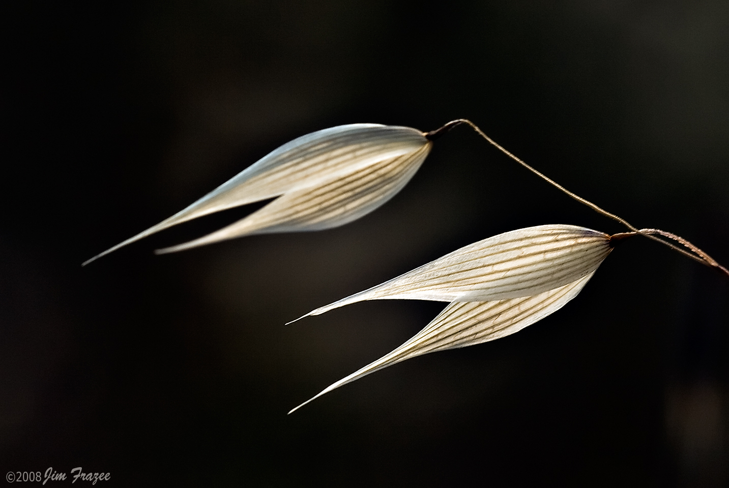
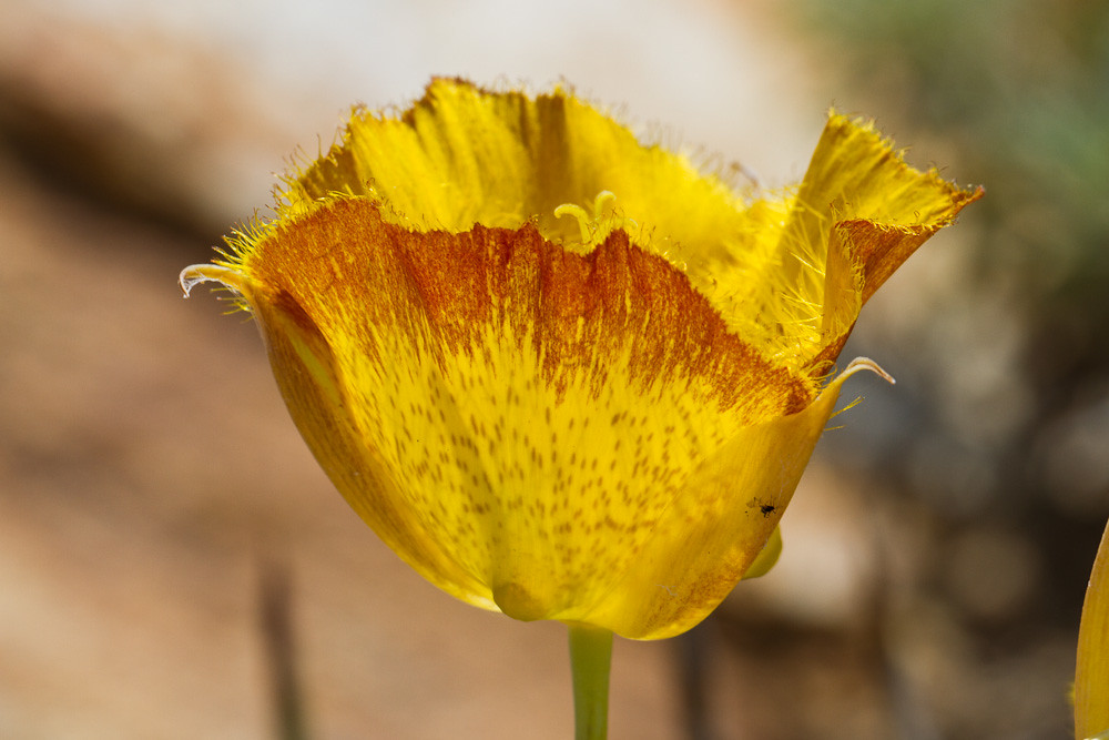
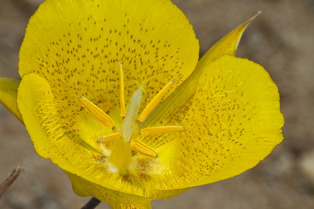
Wild Oats
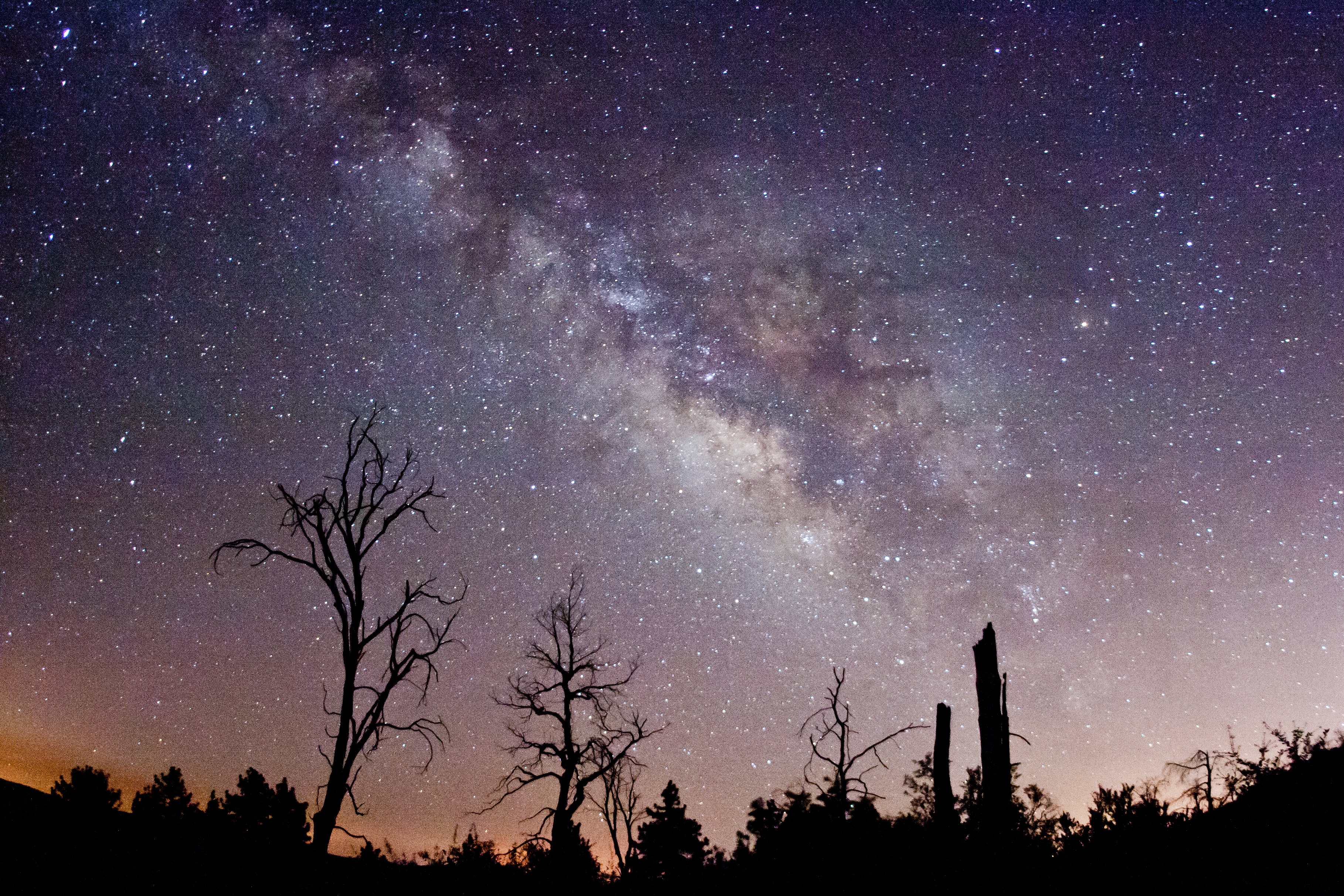
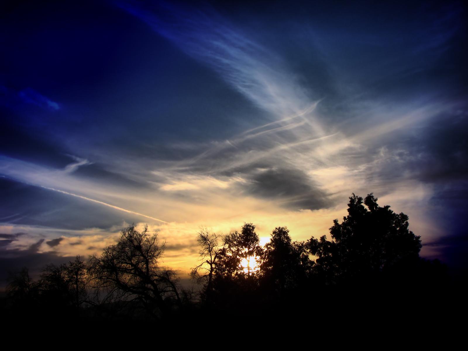
Via Lactea. Milky Way behind burnt trees. Cuyamaca Rancho State Park.

The Milky Way and fire-damaged trees. Paso Picacho Campground at Cuyamaca Rancho State Park
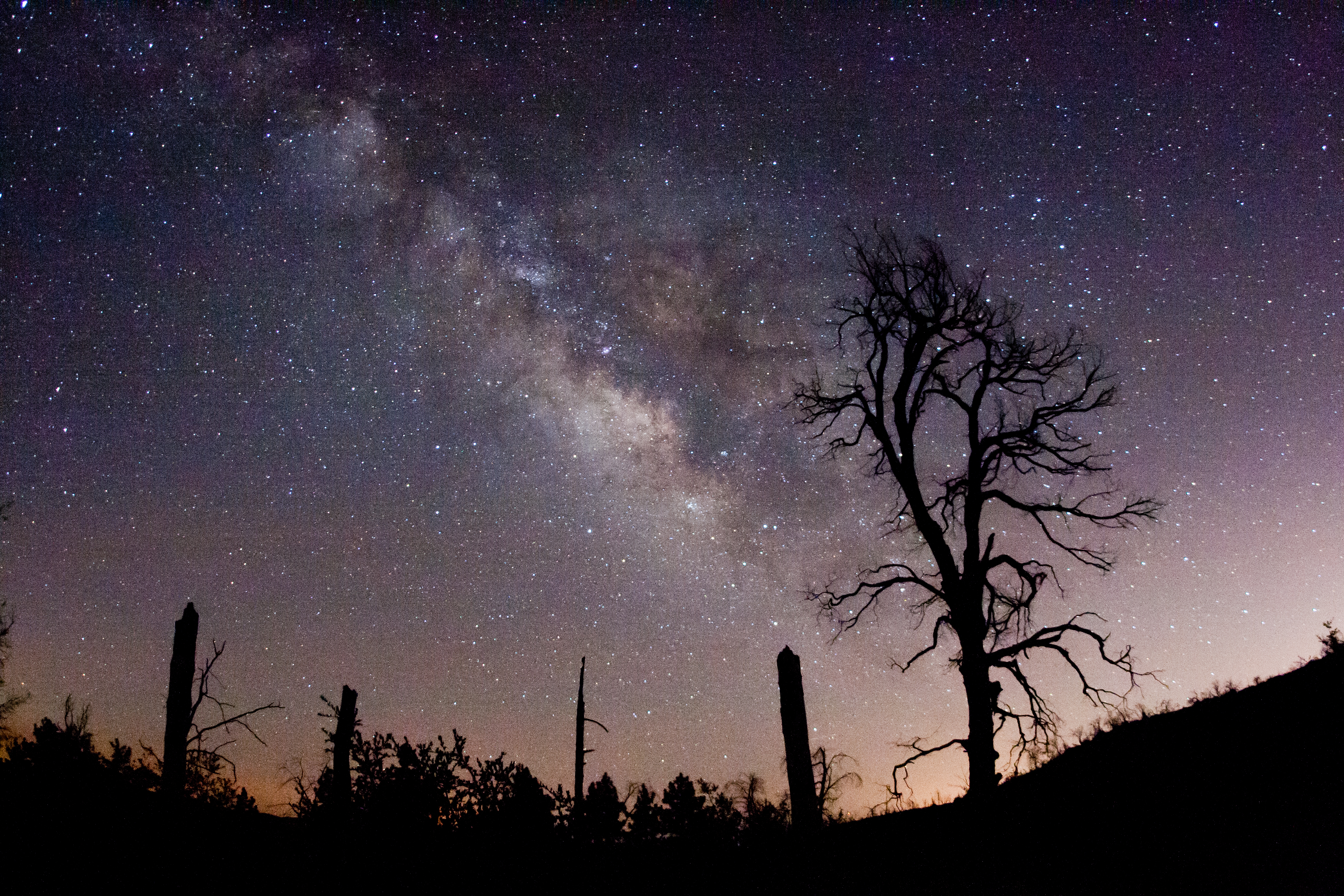
The Milky Way and fire-damaged trees. Paso Picacho Campground at Cuyamaca Rancho State Park
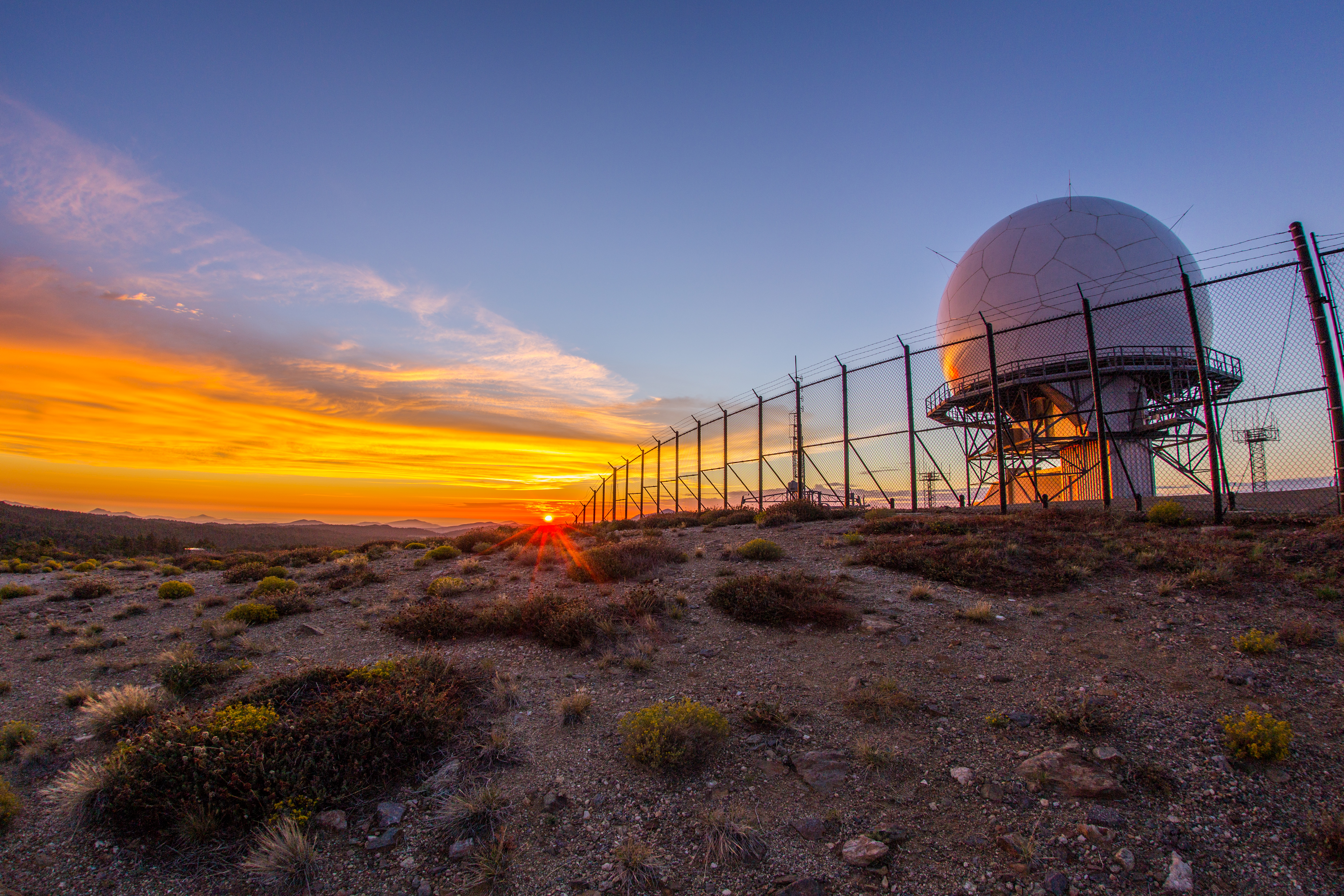
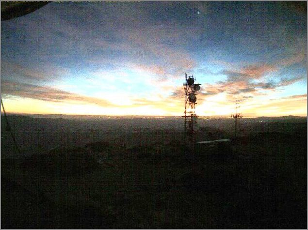
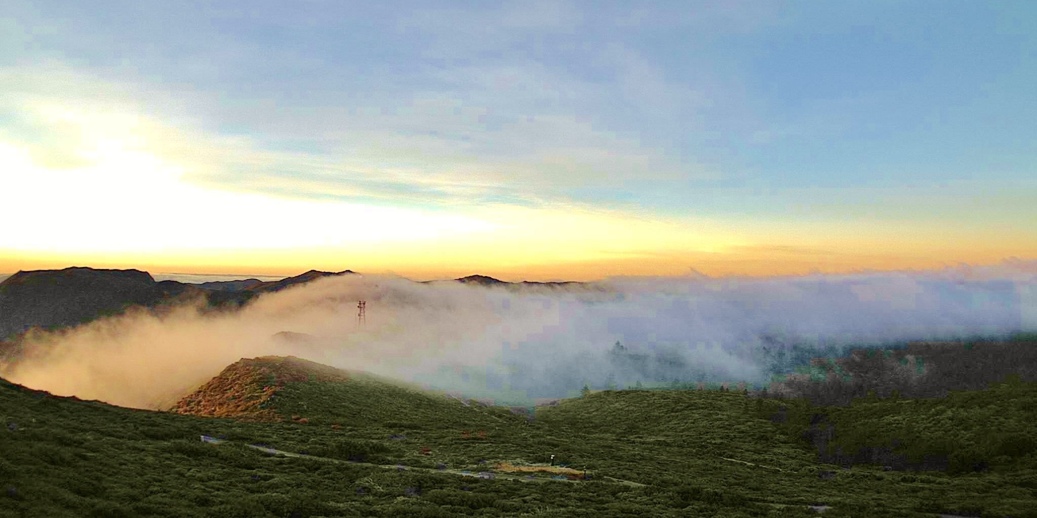
Colorful sunset at the Mount Laguna radar dome.

Dark and Deep

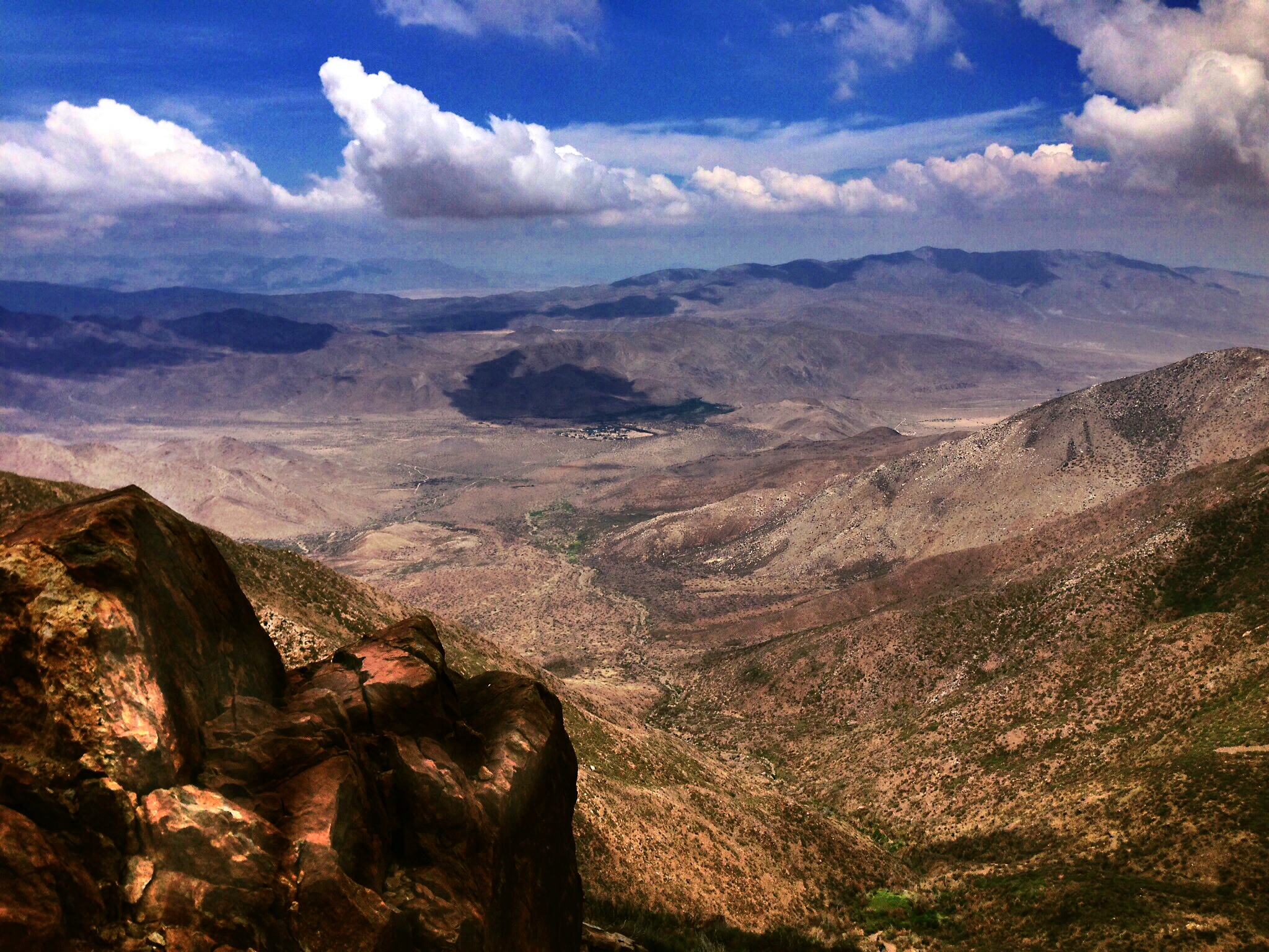
Sunset on the Anza-Borrego
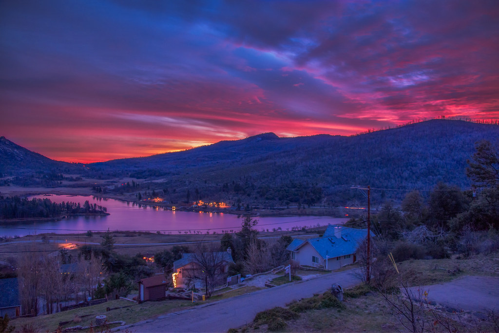
Cuyamaca Christmas
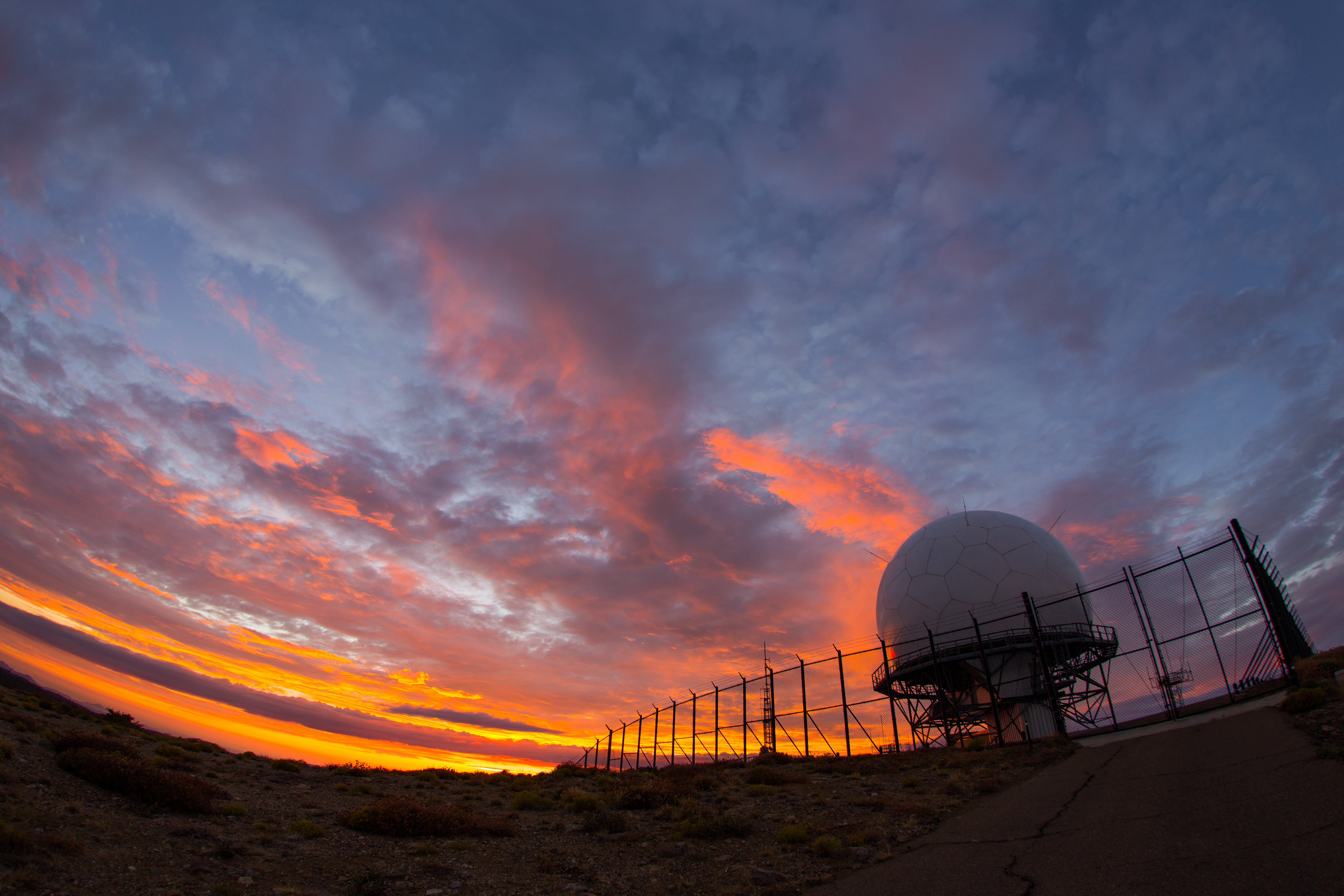
Colorful sunset at the radar dome atop Mount Laguna
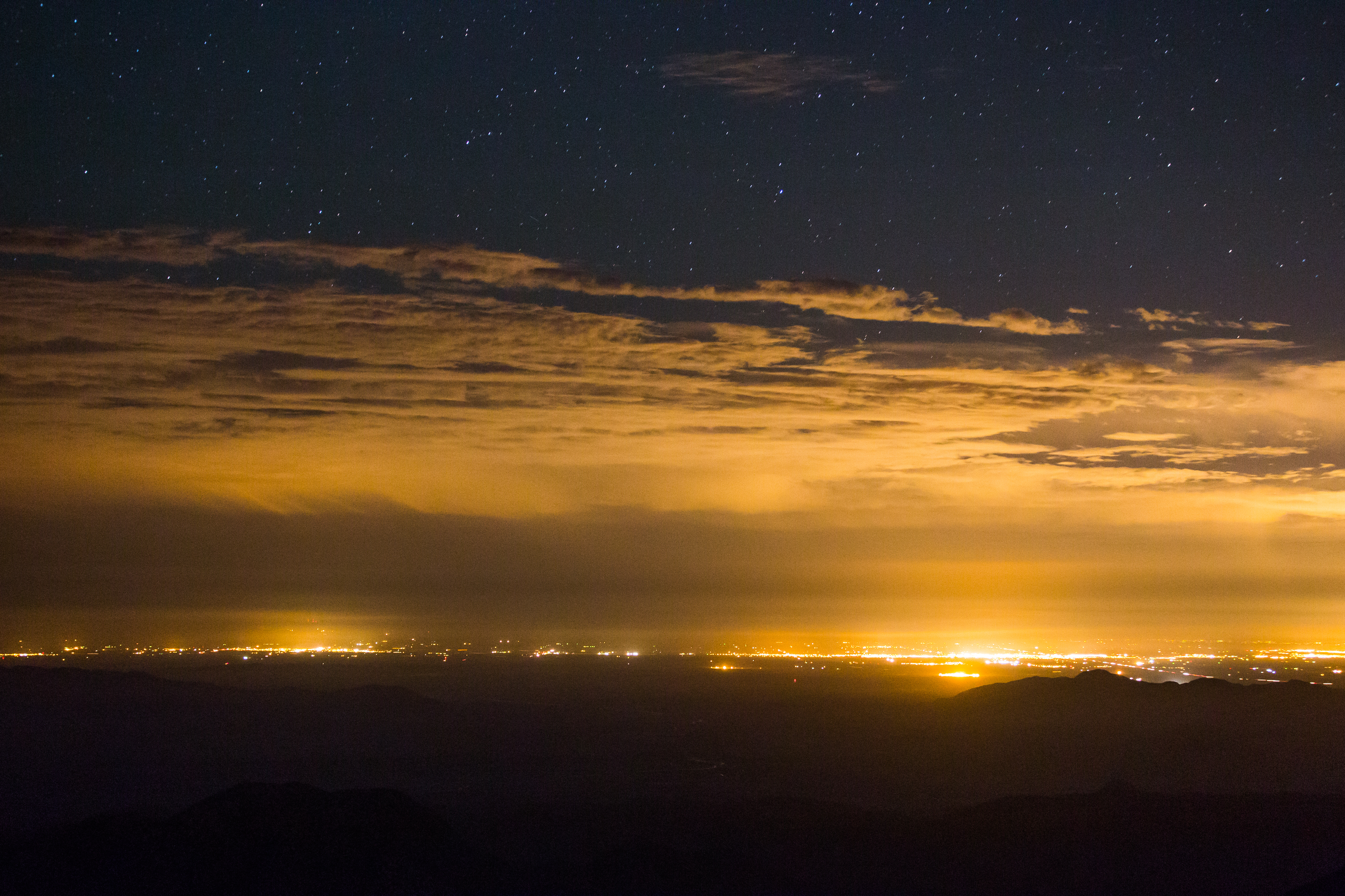
Stars, clouds, and light pollution. Looking east from atop Mount Laguna.
A Stunning Sunset from Sunrise Highway @ Mt.Laguna, Julian, CA

Optimized-02130.jpg
Vía Láctea
Mountain Sunset

Milky Way and silhouettes of burnt trees in Cuyamaca Rancho State Park
Saturday's sunset from our campsite. #thehillshavepies
Milky Way Panorama at Cuyamaca Rancho State Park. Different processing.
Mysterious Sunset
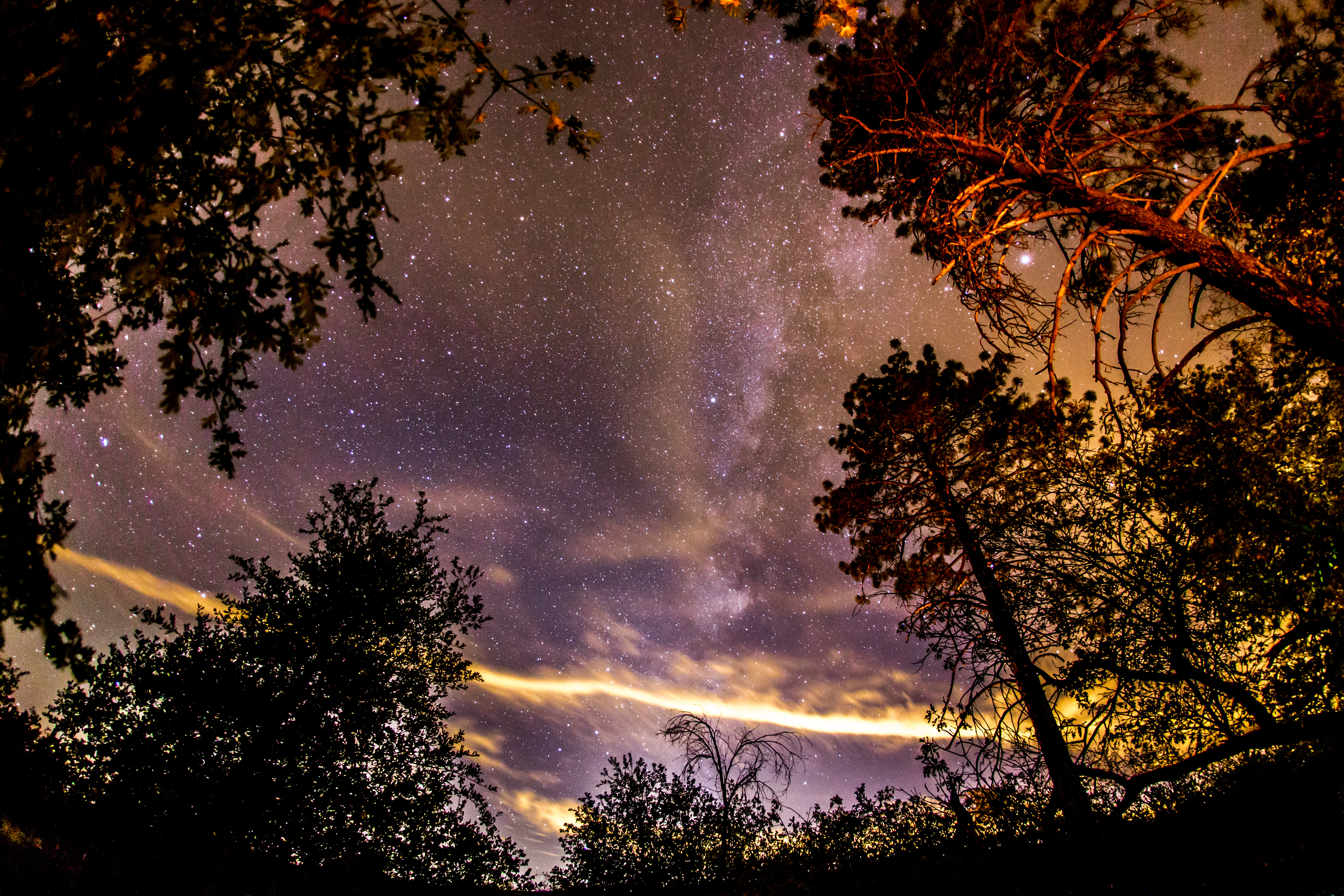
The night sky at Cuyamaca Rancho State Park
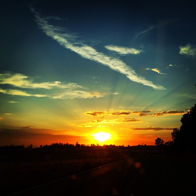
Last nights sunset.
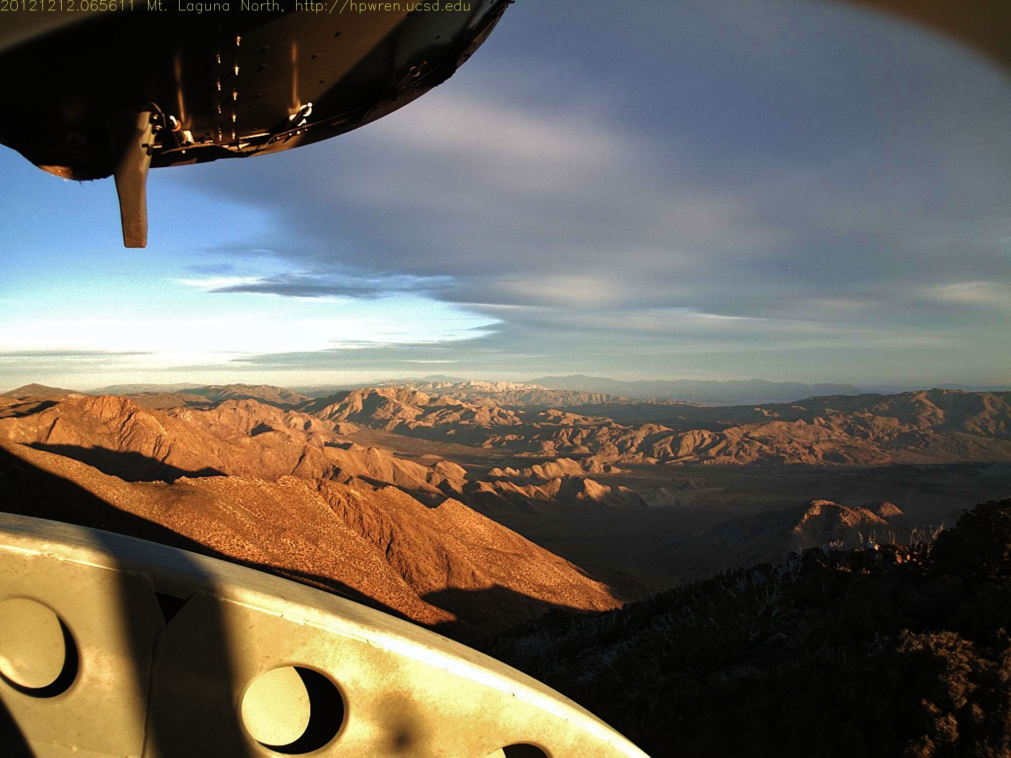
Mt Laguna Sunrise - hpwren - East 10-4-12
#mtlaguna #sunrisehwy #PacificCrestTrail #california #iphone
IMG_0049.jpg
Sunrise Highway, San Diego, CA
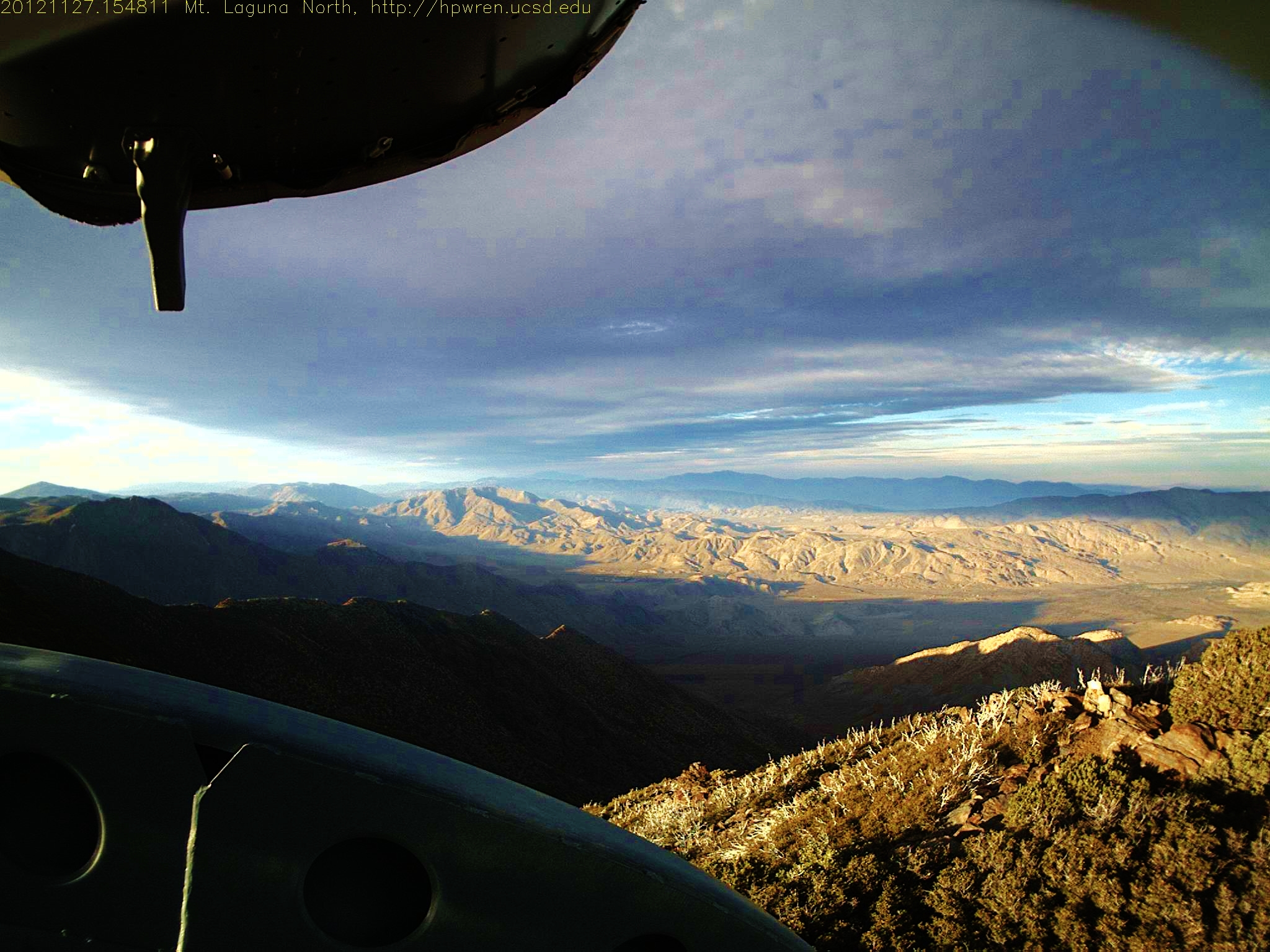
Mt Laguna North view 1354060091.jpg 27-Nov-2012 1548

Snowman in the Road
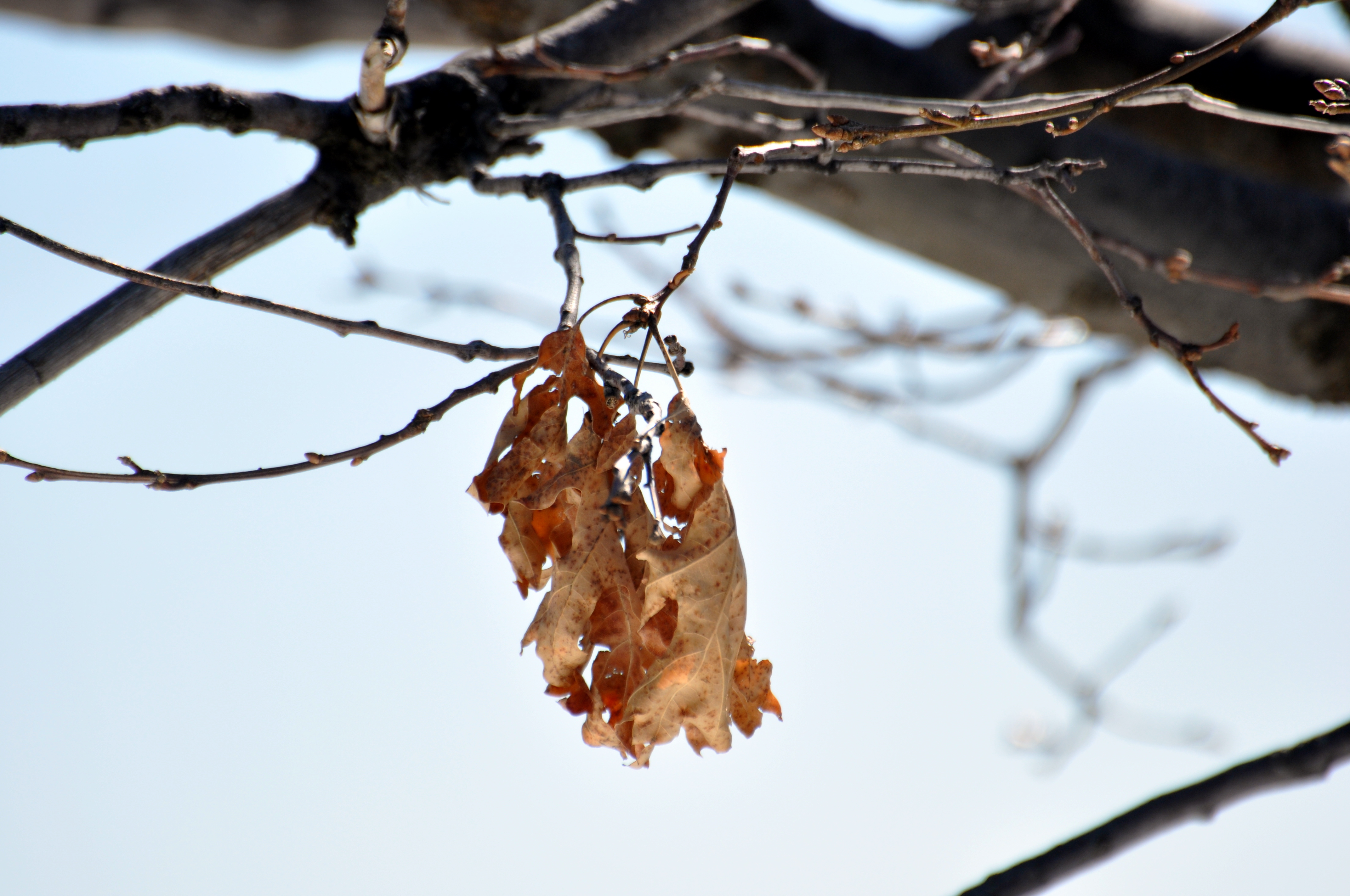
Last Leaves
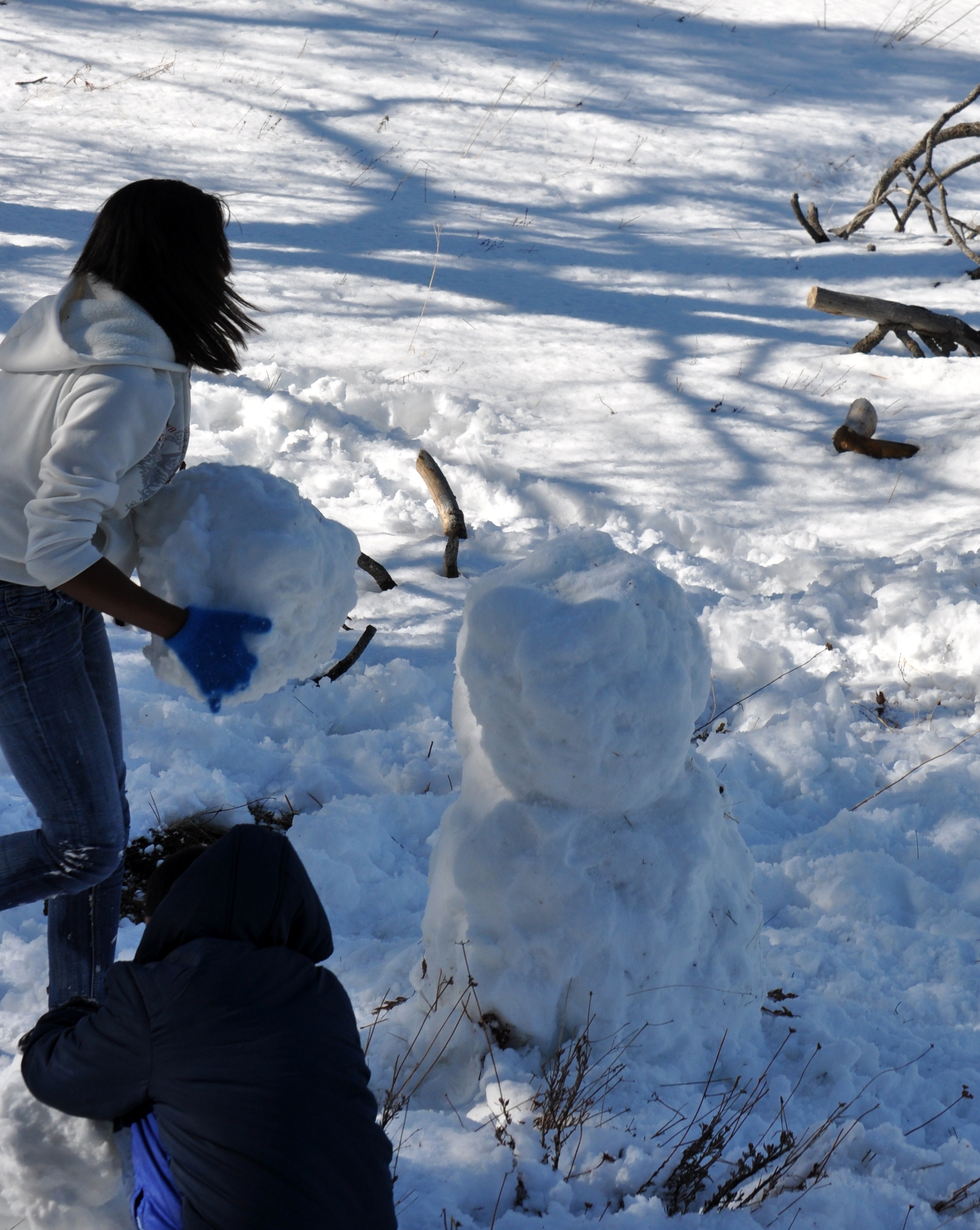
Building a Snowman
Sunrise after thunderstorm

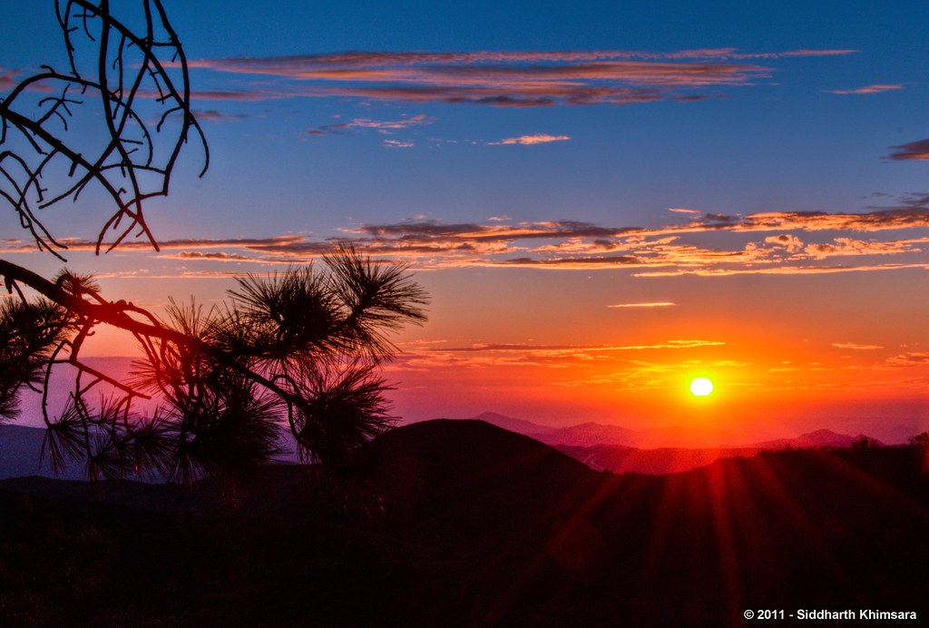
Sunrise!
Sunrise Hwy., Mt. Laguna
Mt Laguna South view on the first day of April 2013 - at sunrise 0640AM
Mt Laguna view: Desert sunrise 12~12~2012

Building a Snowman
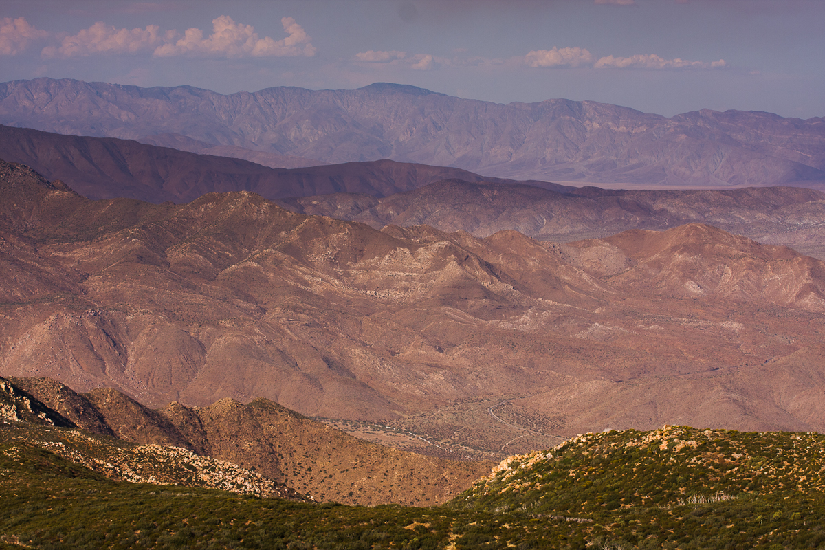
Anza Borrego
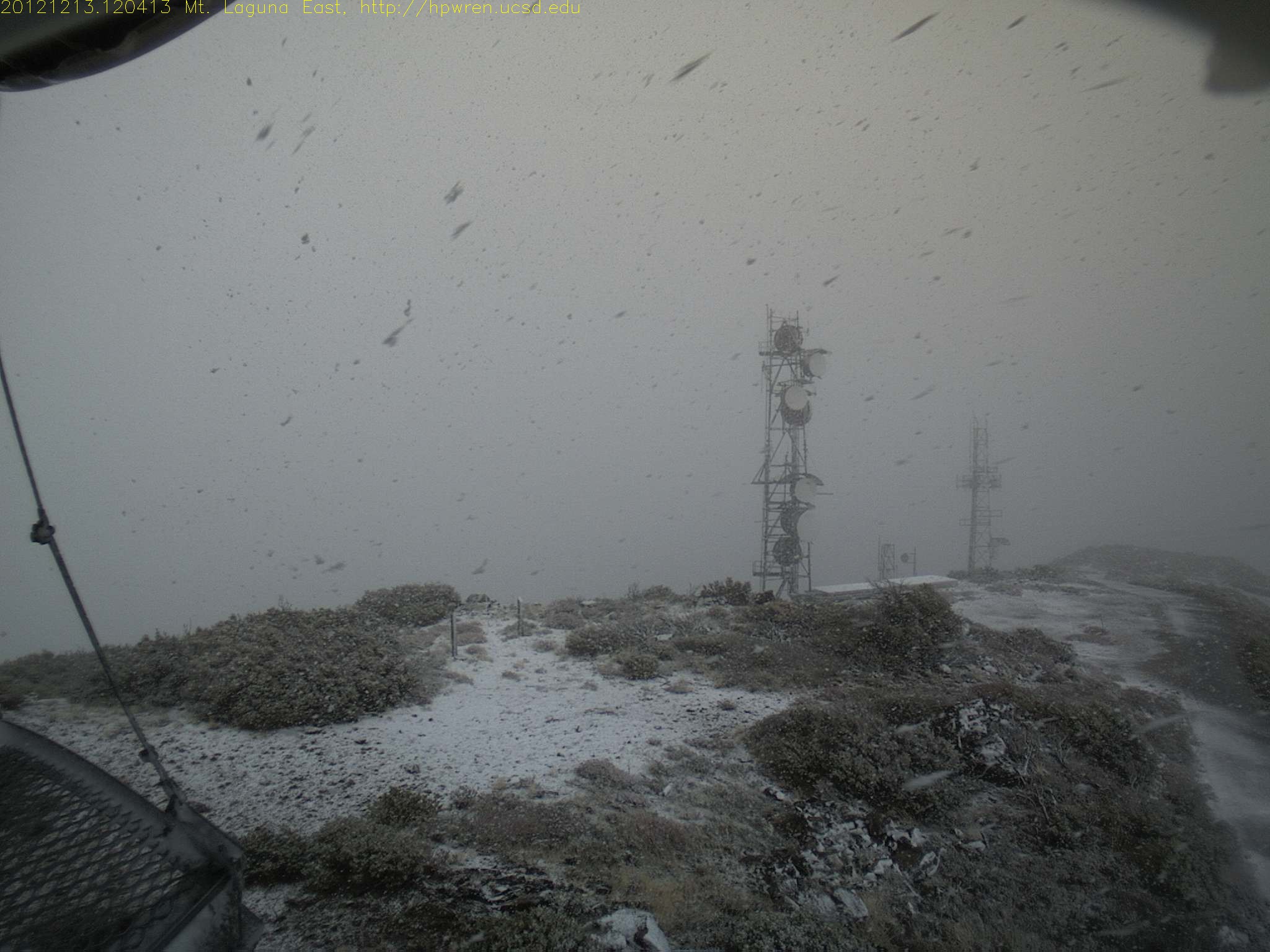
Mt Laguna east view during a snowfall
IMG_0081.jpg
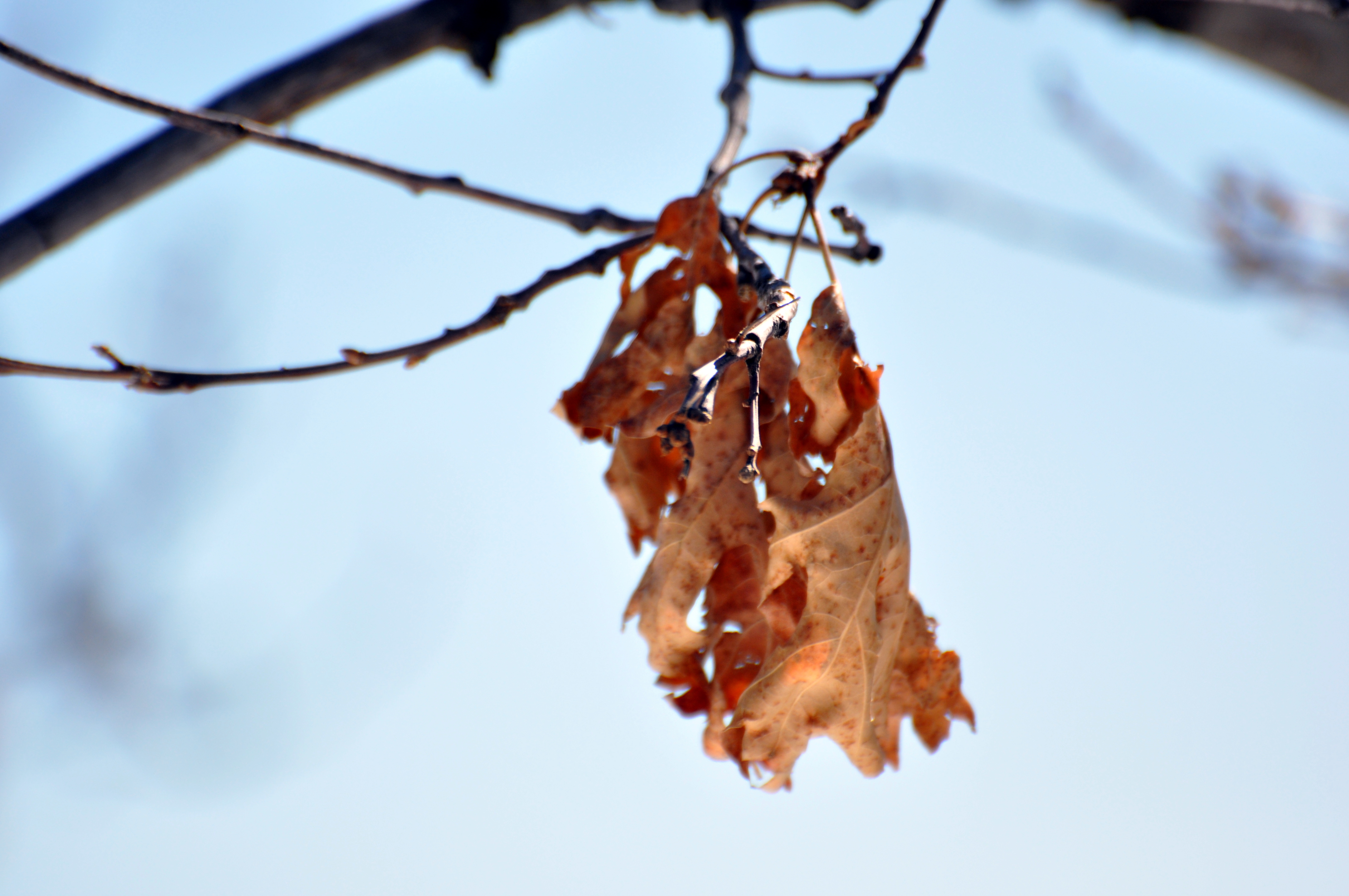
Last Leaves
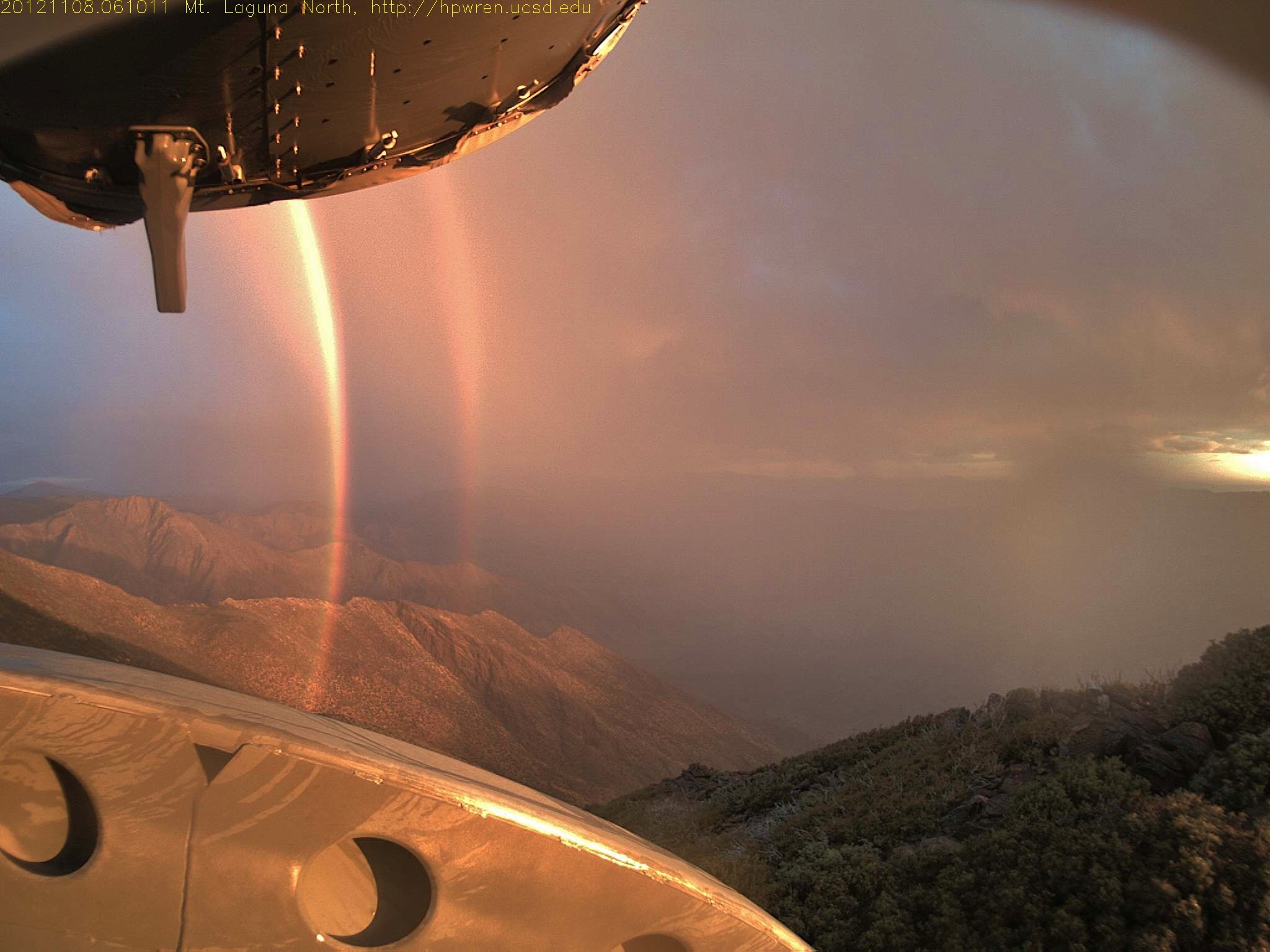
Daybreak rainbows and rain squall 08-Nov-2012 06:10 AM PST
Green Valley Falls, California, USA Karte
Suchen Sie einen anderen Ort
Nahe Plätze
CA-79, Descanso, CA, USA
Cuyamaca Mountains, California, USA
Cuyamaca Peak, Kalifornien, USA
Paso Picacho Campground, CA-79, Julian, CA, USA
Boulder Creek Rd, Descanso, CA, USA
Boulder Creek Rd, Descanso, CA, USA
Stonewall Peak Trail, Julian, CA, USA
Lake Cuyamaca Restaurant & Store, California 79, Julian, CA, USA
Lake Cuyamaca, California, USA
Navajo Rd, Julian, CA, USA
Pima Trail, Julian, CA, USA
Sunrise Highway, Sunrise Hwy, California, USA
Kwaaymii Point, Julian, CA, USA
Engineers Rd, Julian, CA, USA
Sandy Creek Rd, Julian, CA, USA
Grandview Way, Julian, CA, USA
Starlight Way, Julian, CA, USA
Iron Springs Rd, Julian, CA, USA
Iron Springs Way, Julian, CA, USA
Lois Lane, Lois Ln, Julian, CA, USA
Letzte Suche
- Red Dog Mine, AK, USA Sonnenaufgang Sonnenuntergang Zeiten
- Am Bahnhof, Am bhf, Borken, Germany Sonnenaufgang Sonnenuntergang Zeiten
- 4th St E, Sonoma, CA, USA Sonnenaufgang Sonnenuntergang Zeiten
- Oakland Ave, Williamsport, PA, USA Sonnenaufgang Sonnenuntergang Zeiten
- Via Roma, Pieranica CR, Italien Sonnenaufgang Sonnenuntergang Zeiten
- Glockenturm, Grad, Dubrovnik, Kroatien Sonnenaufgang Sonnenuntergang Zeiten
- Trelew, Chubut Province, Argentina Sonnenaufgang Sonnenuntergang Zeiten
- Hartfords Bluff Cir, Mt Pleasant, SC, USA Sonnenaufgang Sonnenuntergang Zeiten
- Kita-ku, Kumamoto, Präfektur Kumamoto, Japan Sonnenaufgang Sonnenuntergang Zeiten
- Pingtan Island, Pingtan County, Fuzhou, China Sonnenaufgang Sonnenuntergang Zeiten