| Zeitzone: | Nordamerikanische Westküsten-Sommerzeit |
|---|---|
| Ortszeit: | Dienstag, 15. September 2026 18:41 |
| Länge: | -116.635865 |
| Breite: | 32.873458 |
| Sonnenaufgang Heute: | 06:31:31 |
| Sonnenuntergang Heute: | 18:54:48 |
| Tageslänge heute: | 12h 23m 17s |
| Sonnenaufgang morgen: | 06:32:09 |
| Sonnenuntergang Morgen: | 18:53:26 |
| Tageslänge von morgen: | 12h 21m 17s |
: Alle Termine anzeigen
| Datum | Sonnenaufgang | Sonnenuntergang | Tageslänge |
|---|---|---|---|
| 1. Jan. 2026 | 06:50:15 | 16:51:24 | 10h 1m 8s |
| 1. Feb. 2026 | 06:43:33 | 17:18:56 | 10h 35m 23s |
| 1. März 2026 | 06:17:06 | 17:43:59 | 11h 26m 52s |
| 1. Apr. 2026 | 06:36:55 | 19:06:45 | 12h 29m 50s |
| 1. Mai 2026 | 06:01:22 | 19:28:30 | 13h 27m 8s |
| 1. Juni 2026 | 05:40:54 | 19:50:30 | 14h 9m 35s |
| 1. Juli 2026 | 05:42:40 | 20:00:04 | 14h 17m 24s |
| 1. Aug. 2026 | 06:00:42 | 19:47:34 | 13h 46m 51s |
| 1. Sep. 2026 | 06:21:57 | 19:14:48 | 12h 52m 50s |
| 16. Sep. 2026 | 06:31:31 | 18:54:48 | 12h 23m 17s |
| 17. Sep. 2026 | 06:32:09 | 18:53:26 | 12h 21m 17s |
| 1. Okt. 2026 | 06:41:10 | 18:34:19 | 11h 53m 8s |
| 1. Nov. 2026 | 07:04:46 | 17:57:59 | 10h 53m 13s |
| 1. Dez. 2026 | 06:31:50 | 16:41:38 | 10h 9m 47s |
Fotos von Sonnenaufgang und Sonnenuntergang

Sierra Pink by lahorstman

Twilight Milky Way Over The Rolling Hills Of Pine Valley. by slworking2

Cuyamaca Christmas by mojo2u

NEOWISE from Lake Cuyamaca by Dan@propeakphotography

Golden Hour at the Gate by lahorstman

Milky Way and silhouettes of burnt trees in Cuyamaca Rancho State Park by slworking2

Sunrise Highway Sunset by slworking2

Highway To Heaven by slworking2

Milky Way Panorama at Cuyamaca Rancho State Park. Different processing. by slworking2

Galaxy Forest by slworking2

The night sky at Cuyamaca Rancho State Park by slworking2

Sunrise at Bow Lake by lahorstman

Wild Oats by Jim Frazee

Milky Way Galaxy Arch Over Pine Forest In Mount Laguna by slworking2

Cloudy Milk by slworking2

Camping In the Cleveland National Forest In Mount Laguna by slworking2

🌞 Fiery Sky Sunset Social Distancing ⛅ by slworking2

Colorful Sunset Panorama at Filaree Meadow in Mount Laguna by slworking2
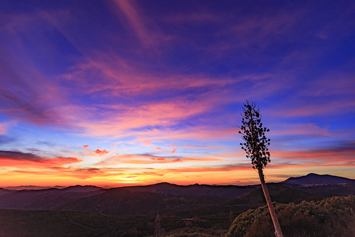
Epic Colorful Sunset in Mount Laguna by slworking2

After the Mount Laguna Sunset the Stars Appear by slworking2

Epic Colorful Sunset in Mount Laguna by slworking2

Scenic Way Down by charles25001

Sunrise after thunderstorm by lahorstman

Kwaaymi Point by Alan Greenberg Photography

2021 New Year Sunrise by 27nm

Interstate 8 Freeway and Pine Valley at Twilight by slworking2

Anza-Borrego Desert Mountains by zeesstof

Tom on Indian Creak Road - Mt. Laguna (Calif) - 12-25-13 b by Bob_ Perry

Fox Sparrow by DaveInman

A Stunning Sunset from Sunrise Highway @ Mt.Laguna, Julian, CA by skhimsara

MY 3 MILE LOOP HIKE TO CHAMPAGNE PASS - 10-23-2012 = GREEN line is passable dirt track that I drove in my ultra low clearance 2 wheel drive Toyota Matrix = ORANGE route of hike = for larger image LEF by Bob_ Perry

Lake of the Woods and low clouds by h willome

Pine Mtn trail marker at Pine Mtn Road Jct 9-30-12 by Bob_ Perry

Pacific Crest Trail in foreground and distance as seen from Pioneer Mail PIcnic Area 8-21-2013 by Bob_ Perry

Pine Mountain Trail starts beside Sunrise Highway across from Pionner Mail Trailhead (Mt. Laguna) (San Diego S-1) 12-25-13 by Bob_ Perry

#mtlaguna #sunrisehwy #PacificCrestTrail #california #iphone by scott burnham

Looking back at Matrix - from road along Indian Creek - 9-28-2012 pv by Bob_ Perry
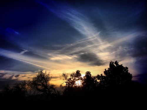
Mysterious Sunset by Click It!

Pygmy Nuthatch by DaveInman

Quartz Vein by zeesstof

Sunset Trail by danlmarmot

Sunset from Cuyamaca Lake in Cuyamaca Rancho State Park by Jim Frazee

Indian Creek Trail (left) east of Champagne Pass 9-30-2012 by Bob_ Perry

THE FIRE OF 2003 - note the clump of fir trees in the foreground. This is the way "natural" fires are supposed to burn; leaving the tree tops to thrive and able to reproduce. (9-30-2012) by Bob_ Perry

North end of Pine Mtn Trail - across from Pioneer Mail Picnic Area on Sunrise Highway 9-30-12 - THIS IS THE START OF THE PINE MOUNTAIN TRAIL - I MISSED IT AND FOUND IT ONLY WHEN HIKING BACK (9-30-1 by Bob_ Perry

THE NORTH END OF PINE MOUNTAIN TRAIL; MY CAR; SUNRISE HIGHWAY 9-30-2012 == to see the image better LEFT CLICK ON THE IMAGE by Bob_ Perry

Pine Mountain Road west of Sunrise Highway 8-21-2013 f by Bob_ Perry

Pine Mountain Road just west of Chariot Fire damage / Indian Creek on the left // 8-21-2013 b by Bob_ Perry

Sunrise Highway (San Diego S-1) looking south - from just south of Pioneer Mail Picnic Area 9-28-2012 by Bob_ Perry

White camper parked on PINE CREEK ROAD 9-30-2012 -- Pine Creek Road is a paved ONE LANE road from Sunrise Highway (mile marker 28) down to Old US 80 a mile west of Pine Valley, CA by Bob_ Perry

Cuyamaca and Stonewall Peaks seen from Pine Mountain Trail - Mt. Laguna, CA -- both peaks are in Cuyamaca State Park by Bob_ Perry

MY HIKE TO CHAMPAGNE PASS 9-30-2012 = for a larger map RIGHT CLICK on the image then LEFT CLICK on ORIGINAL by Bob_ Perry

CUYAMACA PEAK AND EAST MESA - FROM CHAMPAGNE PASS 9-30-2012 -- Cuyamaca Peak at 6,512 feet is the second tallest mountain in San Diego County by Bob_ Perry

Mountain Layers by zeesstof

Pine Mountain Trail - East end - beside Sunrise Highway just across from Pioneer Mail Trailhead (and picnic ground) - two trail signs circled in RED - left click to enlarge image by Bob_ Perry

168/366 by Sue on a bike

WHITE CAMPER PARKED ON PINE MOUNTAIN ROAD - 9-30-2012 by Bob_ Perry

Cloudscape by zeesstof
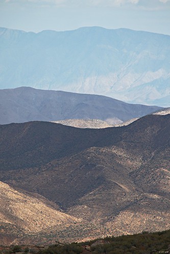
Light and Shade by zeesstof

Stately Zoey on our lunch rock. by desertdude11