Desert Aire, WA, USA Sonnenaufgang Sonnenuntergang Zeiten
Location: USA > Washington > Grant County >
Zeitzone:
America/Los_Angeles
Ortszeit:
2025-06-18 07:14:12
Länge:
-119.9172672
Breite:
46.6792986
Sonnenaufgang Heute:
05:05:32 AM
Sonnenuntergang Heute:
08:56:28 PM
Tageslänge heute:
15h 50m 56s
Sonnenaufgang morgen:
05:05:41 AM
Sonnenuntergang Morgen:
08:56:45 PM
Tageslänge von morgen:
15h 51m 4s
Alle Termine anzeigen
| Datum | Sonnenaufgang | Sonnenuntergang | Tageslänge |
|---|---|---|---|
| 2025-01-01 | 07:44:02 AM | 04:23:45 PM | 8h 39m 43s |
| 2025-01-02 | 07:43:57 AM | 04:24:45 PM | 8h 40m 48s |
| 2025-01-03 | 07:43:49 AM | 04:25:47 PM | 8h 41m 58s |
| 2025-01-04 | 07:43:39 AM | 04:26:51 PM | 8h 43m 12s |
| 2025-01-05 | 07:43:26 AM | 04:27:56 PM | 8h 44m 30s |
| 2025-01-06 | 07:43:10 AM | 04:29:04 PM | 8h 45m 54s |
| 2025-01-07 | 07:42:51 AM | 04:30:13 PM | 8h 47m 22s |
| 2025-01-08 | 07:42:30 AM | 04:31:24 PM | 8h 48m 54s |
| 2025-01-09 | 07:42:05 AM | 04:32:37 PM | 8h 50m 32s |
| 2025-01-10 | 07:41:39 AM | 04:33:51 PM | 8h 52m 12s |
| 2025-01-11 | 07:41:09 AM | 04:35:06 PM | 8h 53m 57s |
| 2025-01-12 | 07:40:37 AM | 04:36:23 PM | 8h 55m 46s |
| 2025-01-13 | 07:40:03 AM | 04:37:41 PM | 8h 57m 38s |
| 2025-01-14 | 07:39:25 AM | 04:39:00 PM | 8h 59m 35s |
| 2025-01-15 | 07:38:46 AM | 04:40:21 PM | 9h 1m 35s |
| 2025-01-16 | 07:38:03 AM | 04:41:42 PM | 9h 3m 39s |
| 2025-01-17 | 07:37:19 AM | 04:43:05 PM | 9h 5m 46s |
| 2025-01-18 | 07:36:32 AM | 04:44:28 PM | 9h 7m 56s |
| 2025-01-19 | 07:35:42 AM | 04:45:53 PM | 9h 10m 11s |
| 2025-01-20 | 07:34:50 AM | 04:47:18 PM | 9h 12m 28s |
| 2025-01-21 | 07:33:56 AM | 04:48:44 PM | 9h 14m 48s |
| 2025-01-22 | 07:33:00 AM | 04:50:11 PM | 9h 17m 11s |
| 2025-01-23 | 07:32:01 AM | 04:51:38 PM | 9h 19m 37s |
| 2025-01-24 | 07:31:00 AM | 04:53:06 PM | 9h 22m 6s |
| 2025-01-25 | 07:29:57 AM | 04:54:35 PM | 9h 24m 38s |
| 2025-01-26 | 07:28:52 AM | 04:56:04 PM | 9h 27m 12s |
| 2025-01-27 | 07:27:45 AM | 04:57:34 PM | 9h 29m 49s |
| 2025-01-28 | 07:26:36 AM | 04:59:04 PM | 9h 32m 28s |
| 2025-01-29 | 07:25:25 AM | 05:00:34 PM | 9h 35m 9s |
| 2025-01-30 | 07:24:12 AM | 05:02:04 PM | 9h 37m 52s |
| 2025-01-31 | 07:22:57 AM | 05:03:35 PM | 9h 40m 38s |
| 2025-02-01 | 07:21:40 AM | 05:05:06 PM | 9h 43m 26s |
| 2025-02-02 | 07:20:22 AM | 05:06:38 PM | 9h 46m 16s |
| 2025-02-03 | 07:19:01 AM | 05:08:09 PM | 9h 49m 8s |
| 2025-02-04 | 07:17:39 AM | 05:09:40 PM | 9h 52m 1s |
| 2025-02-05 | 07:16:16 AM | 05:11:12 PM | 9h 54m 56s |
| 2025-02-06 | 07:14:50 AM | 05:12:43 PM | 9h 57m 53s |
| 2025-02-07 | 07:13:24 AM | 05:14:15 PM | 10h 0m 51s |
| 2025-02-08 | 07:11:55 AM | 05:15:46 PM | 10h 3m 51s |
| 2025-02-09 | 07:10:25 AM | 05:17:18 PM | 10h 6m 53s |
| 2025-02-10 | 07:08:54 AM | 05:18:49 PM | 10h 9m 55s |
| 2025-02-11 | 07:07:21 AM | 05:20:20 PM | 10h 12m 59s |
| 2025-02-12 | 07:05:47 AM | 05:21:51 PM | 10h 16m 4s |
| 2025-02-13 | 07:04:12 AM | 05:23:22 PM | 10h 19m 10s |
| 2025-02-14 | 07:02:35 AM | 05:24:53 PM | 10h 22m 18s |
| 2025-02-15 | 07:00:57 AM | 05:26:23 PM | 10h 25m 26s |
| 2025-02-16 | 06:59:18 AM | 05:27:54 PM | 10h 28m 36s |
| 2025-02-17 | 06:57:37 AM | 05:29:24 PM | 10h 31m 47s |
| 2025-02-18 | 06:55:56 AM | 05:30:54 PM | 10h 34m 58s |
| 2025-02-19 | 06:54:13 AM | 05:32:23 PM | 10h 38m 10s |
| 2025-02-20 | 06:52:30 AM | 05:33:53 PM | 10h 41m 23s |
| 2025-02-21 | 06:50:45 AM | 05:35:22 PM | 10h 44m 37s |
| 2025-02-22 | 06:49:00 AM | 05:36:51 PM | 10h 47m 51s |
| 2025-02-23 | 06:47:13 AM | 05:38:19 PM | 10h 51m 6s |
| 2025-02-24 | 06:45:26 AM | 05:39:48 PM | 10h 54m 22s |
| 2025-02-25 | 06:43:38 AM | 05:41:16 PM | 10h 57m 38s |
| 2025-02-26 | 06:41:49 AM | 05:42:44 PM | 11h 0m 55s |
| 2025-02-27 | 06:39:59 AM | 05:44:11 PM | 11h 4m 12s |
| 2025-02-28 | 06:38:08 AM | 05:45:38 PM | 11h 7m 30s |
| 2025-03-01 | 06:36:17 AM | 05:47:05 PM | 11h 10m 48s |
| 2025-03-02 | 06:34:25 AM | 05:48:32 PM | 11h 14m 7s |
| 2025-03-03 | 06:32:32 AM | 05:49:58 PM | 11h 17m 26s |
| 2025-03-04 | 06:30:39 AM | 05:51:24 PM | 11h 20m 45s |
| 2025-03-05 | 06:28:46 AM | 05:52:50 PM | 11h 24m 4s |
| 2025-03-06 | 06:26:51 AM | 05:54:16 PM | 11h 27m 25s |
| 2025-03-07 | 06:24:56 AM | 05:55:41 PM | 11h 30m 45s |
| 2025-03-08 | 06:23:01 AM | 05:57:06 PM | 11h 34m 5s |
| 2025-03-09 | 07:21:10 AM | 06:58:28 PM | 11h 37m 18s |
| 2025-03-10 | 07:19:14 AM | 06:59:52 PM | 11h 40m 38s |
| 2025-03-11 | 07:17:18 AM | 07:01:17 PM | 11h 43m 59s |
| 2025-03-12 | 07:15:21 AM | 07:02:41 PM | 11h 47m 20s |
| 2025-03-13 | 07:13:24 AM | 07:04:05 PM | 11h 50m 41s |
| 2025-03-14 | 07:11:27 AM | 07:05:28 PM | 11h 54m 1s |
| 2025-03-15 | 07:09:29 AM | 07:06:52 PM | 11h 57m 23s |
| 2025-03-16 | 07:07:31 AM | 07:08:15 PM | 12h 0m 44s |
| 2025-03-17 | 07:05:33 AM | 07:09:39 PM | 12h 4m 6s |
| 2025-03-18 | 07:03:35 AM | 07:11:02 PM | 12h 7m 27s |
| 2025-03-19 | 07:01:37 AM | 07:12:24 PM | 12h 10m 47s |
| 2025-03-20 | 06:59:38 AM | 07:13:47 PM | 12h 14m 9s |
| 2025-03-21 | 06:57:40 AM | 07:15:10 PM | 12h 17m 30s |
| 2025-03-22 | 06:55:41 AM | 07:16:32 PM | 12h 20m 51s |
| 2025-03-23 | 06:53:43 AM | 07:17:55 PM | 12h 24m 12s |
| 2025-03-24 | 06:51:44 AM | 07:19:17 PM | 12h 27m 33s |
| 2025-03-25 | 06:49:46 AM | 07:20:39 PM | 12h 30m 53s |
| 2025-03-26 | 06:47:48 AM | 07:22:01 PM | 12h 34m 13s |
| 2025-03-27 | 06:45:50 AM | 07:23:23 PM | 12h 37m 33s |
| 2025-03-28 | 06:43:52 AM | 07:24:45 PM | 12h 40m 53s |
| 2025-03-29 | 06:41:54 AM | 07:26:07 PM | 12h 44m 13s |
| 2025-03-30 | 06:39:56 AM | 07:27:28 PM | 12h 47m 32s |
| 2025-03-31 | 06:37:59 AM | 07:28:50 PM | 12h 50m 51s |
| 2025-04-01 | 06:36:02 AM | 07:30:12 PM | 12h 54m 10s |
| 2025-04-02 | 06:34:05 AM | 07:31:33 PM | 12h 57m 28s |
| 2025-04-03 | 06:32:09 AM | 07:32:55 PM | 13h 0m 46s |
| 2025-04-04 | 06:30:13 AM | 07:34:17 PM | 13h 4m 4s |
| 2025-04-05 | 06:28:17 AM | 07:35:38 PM | 13h 7m 21s |
| 2025-04-06 | 06:26:22 AM | 07:37:00 PM | 13h 10m 38s |
| 2025-04-07 | 06:24:28 AM | 07:38:21 PM | 13h 13m 53s |
| 2025-04-08 | 06:22:33 AM | 07:39:43 PM | 13h 17m 10s |
| 2025-04-09 | 06:20:40 AM | 07:41:04 PM | 13h 20m 24s |
| 2025-04-10 | 06:18:47 AM | 07:42:26 PM | 13h 23m 39s |
| 2025-04-11 | 06:16:54 AM | 07:43:47 PM | 13h 26m 53s |
| 2025-04-12 | 06:15:03 AM | 07:45:09 PM | 13h 30m 6s |
| 2025-04-13 | 06:13:12 AM | 07:46:30 PM | 13h 33m 18s |
| 2025-04-14 | 06:11:21 AM | 07:47:52 PM | 13h 36m 31s |
| 2025-04-15 | 06:09:31 AM | 07:49:13 PM | 13h 39m 42s |
| 2025-04-16 | 06:07:43 AM | 07:50:35 PM | 13h 42m 52s |
| 2025-04-17 | 06:05:55 AM | 07:51:56 PM | 13h 46m 1s |
| 2025-04-18 | 06:04:07 AM | 07:53:17 PM | 13h 49m 10s |
| 2025-04-19 | 06:02:21 AM | 07:54:39 PM | 13h 52m 18s |
| 2025-04-20 | 06:00:36 AM | 07:56:00 PM | 13h 55m 24s |
| 2025-04-21 | 05:58:51 AM | 07:57:21 PM | 13h 58m 30s |
| 2025-04-22 | 05:57:08 AM | 07:58:42 PM | 14h 1m 34s |
| 2025-04-23 | 05:55:25 AM | 08:00:03 PM | 14h 4m 38s |
| 2025-04-24 | 05:53:44 AM | 08:01:24 PM | 14h 7m 40s |
| 2025-04-25 | 05:52:03 AM | 08:02:45 PM | 14h 10m 42s |
| 2025-04-26 | 05:50:24 AM | 08:04:06 PM | 14h 13m 42s |
| 2025-04-27 | 05:48:46 AM | 08:05:26 PM | 14h 16m 40s |
| 2025-04-28 | 05:47:09 AM | 08:06:47 PM | 14h 19m 38s |
| 2025-04-29 | 05:45:34 AM | 08:08:07 PM | 14h 22m 33s |
| 2025-04-30 | 05:44:00 AM | 08:09:27 PM | 14h 25m 27s |
| 2025-05-01 | 05:42:27 AM | 08:10:47 PM | 14h 28m 20s |
| 2025-05-02 | 05:40:55 AM | 08:12:06 PM | 14h 31m 11s |
| 2025-05-03 | 05:39:25 AM | 08:13:25 PM | 14h 34m 0s |
| 2025-05-04 | 05:37:56 AM | 08:14:44 PM | 14h 36m 48s |
| 2025-05-05 | 05:36:29 AM | 08:16:03 PM | 14h 39m 34s |
| 2025-05-06 | 05:35:03 AM | 08:17:21 PM | 14h 42m 18s |
| 2025-05-07 | 05:33:39 AM | 08:18:38 PM | 14h 44m 59s |
| 2025-05-08 | 05:32:17 AM | 08:19:56 PM | 14h 47m 39s |
| 2025-05-09 | 05:30:56 AM | 08:21:12 PM | 14h 50m 16s |
| 2025-05-10 | 05:29:36 AM | 08:22:28 PM | 14h 52m 52s |
| 2025-05-11 | 05:28:19 AM | 08:23:44 PM | 14h 55m 25s |
| 2025-05-12 | 05:27:03 AM | 08:24:59 PM | 14h 57m 56s |
| 2025-05-13 | 05:25:49 AM | 08:26:13 PM | 15h 0m 24s |
| 2025-05-14 | 05:24:37 AM | 08:27:27 PM | 15h 2m 50s |
| 2025-05-15 | 05:23:26 AM | 08:28:40 PM | 15h 5m 14s |
| 2025-05-16 | 05:22:18 AM | 08:29:52 PM | 15h 7m 34s |
| 2025-05-17 | 05:21:12 AM | 08:31:04 PM | 15h 9m 52s |
| 2025-05-18 | 05:20:07 AM | 08:32:14 PM | 15h 12m 7s |
| 2025-05-19 | 05:19:05 AM | 08:33:23 PM | 15h 14m 18s |
| 2025-05-20 | 05:18:04 AM | 08:34:32 PM | 15h 16m 28s |
| 2025-05-21 | 05:17:06 AM | 08:35:40 PM | 15h 18m 34s |
| 2025-05-22 | 05:16:09 AM | 08:36:46 PM | 15h 20m 37s |
| 2025-05-23 | 05:15:15 AM | 08:37:51 PM | 15h 22m 36s |
| 2025-05-24 | 05:14:23 AM | 08:38:55 PM | 15h 24m 32s |
| 2025-05-25 | 05:13:34 AM | 08:39:58 PM | 15h 26m 24s |
| 2025-05-26 | 05:12:46 AM | 08:41:00 PM | 15h 28m 14s |
| 2025-05-27 | 05:12:01 AM | 08:42:00 PM | 15h 29m 59s |
| 2025-05-28 | 05:11:18 AM | 08:42:59 PM | 15h 31m 41s |
| 2025-05-29 | 05:10:38 AM | 08:43:56 PM | 15h 33m 18s |
| 2025-05-30 | 05:09:59 AM | 08:44:52 PM | 15h 34m 53s |
| 2025-05-31 | 05:09:24 AM | 08:45:46 PM | 15h 36m 22s |
| 2025-06-01 | 05:08:50 AM | 08:46:39 PM | 15h 37m 49s |
| 2025-06-02 | 05:08:19 AM | 08:47:30 PM | 15h 39m 11s |
| 2025-06-03 | 05:07:50 AM | 08:48:19 PM | 15h 40m 29s |
| 2025-06-04 | 05:07:24 AM | 08:49:07 PM | 15h 41m 43s |
| 2025-06-05 | 05:07:00 AM | 08:49:52 PM | 15h 42m 52s |
| 2025-06-06 | 05:06:39 AM | 08:50:36 PM | 15h 43m 57s |
| 2025-06-07 | 05:06:20 AM | 08:51:18 PM | 15h 44m 58s |
| 2025-06-08 | 05:06:04 AM | 08:51:58 PM | 15h 45m 54s |
| 2025-06-09 | 05:05:50 AM | 08:52:36 PM | 15h 46m 46s |
| 2025-06-10 | 05:05:39 AM | 08:53:12 PM | 15h 47m 33s |
| 2025-06-11 | 05:05:30 AM | 08:53:45 PM | 15h 48m 15s |
| 2025-06-12 | 05:05:24 AM | 08:54:17 PM | 15h 48m 53s |
| 2025-06-13 | 05:05:20 AM | 08:54:46 PM | 15h 49m 26s |
| 2025-06-14 | 05:05:18 AM | 08:55:13 PM | 15h 49m 55s |
| 2025-06-15 | 05:05:19 AM | 08:55:38 PM | 15h 50m 19s |
| 2025-06-16 | 05:05:23 AM | 08:56:01 PM | 15h 50m 38s |
| 2025-06-17 | 05:05:29 AM | 08:56:21 PM | 15h 50m 52s |
| 2025-06-18 | 05:05:37 AM | 08:56:39 PM | 15h 51m 2s |
| 2025-06-19 | 05:05:48 AM | 08:56:54 PM | 15h 51m 6s |
| 2025-06-20 | 05:06:01 AM | 08:57:07 PM | 15h 51m 6s |
| 2025-06-21 | 05:06:16 AM | 08:57:18 PM | 15h 51m 2s |
| 2025-06-22 | 05:06:34 AM | 08:57:26 PM | 15h 50m 52s |
| 2025-06-23 | 05:06:54 AM | 08:57:31 PM | 15h 50m 37s |
| 2025-06-24 | 05:07:17 AM | 08:57:34 PM | 15h 50m 17s |
| 2025-06-25 | 05:07:41 AM | 08:57:35 PM | 15h 49m 54s |
| 2025-06-26 | 05:08:08 AM | 08:57:33 PM | 15h 49m 25s |
| 2025-06-27 | 05:08:37 AM | 08:57:29 PM | 15h 48m 52s |
| 2025-06-28 | 05:09:08 AM | 08:57:22 PM | 15h 48m 14s |
| 2025-06-29 | 05:09:41 AM | 08:57:12 PM | 15h 47m 31s |
| 2025-06-30 | 05:10:16 AM | 08:57:00 PM | 15h 46m 44s |
| 2025-07-01 | 05:10:53 AM | 08:56:46 PM | 15h 45m 53s |
| 2025-07-02 | 05:11:33 AM | 08:56:29 PM | 15h 44m 56s |
| 2025-07-03 | 05:12:14 AM | 08:56:09 PM | 15h 43m 55s |
| 2025-07-04 | 05:12:56 AM | 08:55:47 PM | 15h 42m 51s |
| 2025-07-05 | 05:13:41 AM | 08:55:22 PM | 15h 41m 41s |
| 2025-07-06 | 05:14:27 AM | 08:54:55 PM | 15h 40m 28s |
| 2025-07-07 | 05:15:15 AM | 08:54:26 PM | 15h 39m 11s |
| 2025-07-08 | 05:16:05 AM | 08:53:54 PM | 15h 37m 49s |
| 2025-07-09 | 05:16:56 AM | 08:53:19 PM | 15h 36m 23s |
| 2025-07-10 | 05:17:49 AM | 08:52:42 PM | 15h 34m 53s |
| 2025-07-11 | 05:18:43 AM | 08:52:03 PM | 15h 33m 20s |
| 2025-07-12 | 05:19:39 AM | 08:51:21 PM | 15h 31m 42s |
| 2025-07-13 | 05:20:36 AM | 08:50:37 PM | 15h 30m 1s |
| 2025-07-14 | 05:21:35 AM | 08:49:51 PM | 15h 28m 16s |
| 2025-07-15 | 05:22:34 AM | 08:49:02 PM | 15h 26m 28s |
| 2025-07-16 | 05:23:35 AM | 08:48:12 PM | 15h 24m 37s |
| 2025-07-17 | 05:24:37 AM | 08:47:19 PM | 15h 22m 42s |
| 2025-07-18 | 05:25:40 AM | 08:46:23 PM | 15h 20m 43s |
| 2025-07-19 | 05:26:44 AM | 08:45:26 PM | 15h 18m 42s |
| 2025-07-20 | 05:27:50 AM | 08:44:26 PM | 15h 16m 36s |
| 2025-07-21 | 05:28:56 AM | 08:43:25 PM | 15h 14m 29s |
| 2025-07-22 | 05:30:03 AM | 08:42:21 PM | 15h 12m 18s |
| 2025-07-23 | 05:31:11 AM | 08:41:15 PM | 15h 10m 4s |
| 2025-07-24 | 05:32:19 AM | 08:40:07 PM | 15h 7m 48s |
| 2025-07-25 | 05:33:29 AM | 08:38:58 PM | 15h 5m 29s |
| 2025-07-26 | 05:34:39 AM | 08:37:46 PM | 15h 3m 7s |
| 2025-07-27 | 05:35:50 AM | 08:36:33 PM | 15h 0m 43s |
| 2025-07-28 | 05:37:01 AM | 08:35:18 PM | 14h 58m 17s |
| 2025-07-29 | 05:38:13 AM | 08:34:00 PM | 14h 55m 47s |
| 2025-07-30 | 05:39:26 AM | 08:32:42 PM | 14h 53m 16s |
| 2025-07-31 | 05:40:39 AM | 08:31:21 PM | 14h 50m 42s |
| 2025-08-01 | 05:41:52 AM | 08:29:59 PM | 14h 48m 7s |
| 2025-08-02 | 05:43:06 AM | 08:28:35 PM | 14h 45m 29s |
| 2025-08-03 | 05:44:20 AM | 08:27:10 PM | 14h 42m 50s |
| 2025-08-04 | 05:45:35 AM | 08:25:43 PM | 14h 40m 8s |
| 2025-08-05 | 05:46:50 AM | 08:24:14 PM | 14h 37m 24s |
| 2025-08-06 | 05:48:05 AM | 08:22:44 PM | 14h 34m 39s |
| 2025-08-07 | 05:49:21 AM | 08:21:12 PM | 14h 31m 51s |
| 2025-08-08 | 05:50:37 AM | 08:19:40 PM | 14h 29m 3s |
| 2025-08-09 | 05:51:53 AM | 08:18:05 PM | 14h 26m 12s |
| 2025-08-10 | 05:53:09 AM | 08:16:30 PM | 14h 23m 21s |
| 2025-08-11 | 05:54:25 AM | 08:14:53 PM | 14h 20m 28s |
| 2025-08-12 | 05:55:42 AM | 08:13:15 PM | 14h 17m 33s |
| 2025-08-13 | 05:56:58 AM | 08:11:36 PM | 14h 14m 38s |
| 2025-08-14 | 05:58:15 AM | 08:09:55 PM | 14h 11m 40s |
| 2025-08-15 | 05:59:32 AM | 08:08:13 PM | 14h 8m 41s |
| 2025-08-16 | 06:00:49 AM | 08:06:31 PM | 14h 5m 42s |
| 2025-08-17 | 06:02:06 AM | 08:04:47 PM | 14h 2m 41s |
| 2025-08-18 | 06:03:23 AM | 08:03:02 PM | 13h 59m 39s |
| 2025-08-19 | 06:04:40 AM | 08:01:16 PM | 13h 56m 36s |
| 2025-08-20 | 06:05:57 AM | 07:59:29 PM | 13h 53m 32s |
| 2025-08-21 | 06:07:14 AM | 07:57:42 PM | 13h 50m 28s |
| 2025-08-22 | 06:08:31 AM | 07:55:53 PM | 13h 47m 22s |
| 2025-08-23 | 06:09:48 AM | 07:54:04 PM | 13h 44m 16s |
| 2025-08-24 | 06:11:05 AM | 07:52:13 PM | 13h 41m 8s |
| 2025-08-25 | 06:12:22 AM | 07:50:22 PM | 13h 38m 0s |
| 2025-08-26 | 06:13:39 AM | 07:48:30 PM | 13h 34m 51s |
| 2025-08-27 | 06:14:56 AM | 07:46:38 PM | 13h 31m 42s |
| 2025-08-28 | 06:16:13 AM | 07:44:45 PM | 13h 28m 32s |
| 2025-08-29 | 06:17:30 AM | 07:42:51 PM | 13h 25m 21s |
| 2025-08-30 | 06:18:47 AM | 07:40:56 PM | 13h 22m 9s |
| 2025-08-31 | 06:20:04 AM | 07:39:01 PM | 13h 18m 57s |
| 2025-09-01 | 06:21:21 AM | 07:37:06 PM | 13h 15m 45s |
| 2025-09-02 | 06:22:38 AM | 07:35:10 PM | 13h 12m 32s |
| 2025-09-03 | 06:23:55 AM | 07:33:13 PM | 13h 9m 18s |
| 2025-09-04 | 06:25:12 AM | 07:31:16 PM | 13h 6m 4s |
| 2025-09-05 | 06:26:29 AM | 07:29:18 PM | 13h 2m 49s |
| 2025-09-06 | 06:27:46 AM | 07:27:20 PM | 12h 59m 34s |
| 2025-09-07 | 06:29:02 AM | 07:25:22 PM | 12h 56m 20s |
| 2025-09-08 | 06:30:19 AM | 07:23:24 PM | 12h 53m 5s |
| 2025-09-09 | 06:31:36 AM | 07:21:25 PM | 12h 49m 49s |
| 2025-09-10 | 06:32:53 AM | 07:19:25 PM | 12h 46m 32s |
| 2025-09-11 | 06:34:10 AM | 07:17:26 PM | 12h 43m 16s |
| 2025-09-12 | 06:35:27 AM | 07:15:26 PM | 12h 39m 59s |
| 2025-09-13 | 06:36:44 AM | 07:13:27 PM | 12h 36m 43s |
| 2025-09-14 | 06:38:01 AM | 07:11:27 PM | 12h 33m 26s |
| 2025-09-15 | 06:39:19 AM | 07:09:27 PM | 12h 30m 8s |
| 2025-09-16 | 06:40:36 AM | 07:07:26 PM | 12h 26m 50s |
| 2025-09-17 | 06:41:53 AM | 07:05:26 PM | 12h 23m 33s |
| 2025-09-18 | 06:43:11 AM | 07:03:26 PM | 12h 20m 15s |
| 2025-09-19 | 06:44:28 AM | 07:01:26 PM | 12h 16m 58s |
| 2025-09-20 | 06:45:46 AM | 06:59:25 PM | 12h 13m 39s |
| 2025-09-21 | 06:47:04 AM | 06:57:25 PM | 12h 10m 21s |
| 2025-09-22 | 06:48:22 AM | 06:55:25 PM | 12h 7m 3s |
| 2025-09-23 | 06:49:40 AM | 06:53:25 PM | 12h 3m 45s |
| 2025-09-24 | 06:50:58 AM | 06:51:25 PM | 12h 0m 27s |
| 2025-09-25 | 06:52:17 AM | 06:49:26 PM | 11h 57m 9s |
| 2025-09-26 | 06:53:35 AM | 06:47:26 PM | 11h 53m 51s |
| 2025-09-27 | 06:54:54 AM | 06:45:27 PM | 11h 50m 33s |
| 2025-09-28 | 06:56:13 AM | 06:43:28 PM | 11h 47m 15s |
| 2025-09-29 | 06:57:33 AM | 06:41:29 PM | 11h 43m 56s |
| 2025-09-30 | 06:58:52 AM | 06:39:31 PM | 11h 40m 39s |
| 2025-10-01 | 07:00:12 AM | 06:37:33 PM | 11h 37m 21s |
| 2025-10-02 | 07:01:32 AM | 06:35:36 PM | 11h 34m 4s |
| 2025-10-03 | 07:02:52 AM | 06:33:39 PM | 11h 30m 47s |
| 2025-10-04 | 07:04:13 AM | 06:31:42 PM | 11h 27m 29s |
| 2025-10-05 | 07:05:34 AM | 06:29:46 PM | 11h 24m 12s |
| 2025-10-06 | 07:06:55 AM | 06:27:50 PM | 11h 20m 55s |
| 2025-10-07 | 07:08:16 AM | 06:25:55 PM | 11h 17m 39s |
| 2025-10-08 | 07:09:38 AM | 06:24:01 PM | 11h 14m 23s |
| 2025-10-09 | 07:10:59 AM | 06:22:07 PM | 11h 11m 8s |
| 2025-10-10 | 07:12:22 AM | 06:20:14 PM | 11h 7m 52s |
| 2025-10-11 | 07:13:44 AM | 06:18:21 PM | 11h 4m 37s |
| 2025-10-12 | 07:15:07 AM | 06:16:30 PM | 11h 1m 23s |
| 2025-10-13 | 07:16:30 AM | 06:14:39 PM | 10h 58m 9s |
| 2025-10-14 | 07:17:54 AM | 06:12:49 PM | 10h 54m 55s |
| 2025-10-15 | 07:19:17 AM | 06:10:59 PM | 10h 51m 42s |
| 2025-10-16 | 07:20:41 AM | 06:09:11 PM | 10h 48m 30s |
| 2025-10-17 | 07:22:06 AM | 06:07:23 PM | 10h 45m 17s |
| 2025-10-18 | 07:23:30 AM | 06:05:37 PM | 10h 42m 7s |
| 2025-10-19 | 07:24:55 AM | 06:03:51 PM | 10h 38m 56s |
| 2025-10-20 | 07:26:20 AM | 06:02:06 PM | 10h 35m 46s |
| 2025-10-21 | 07:27:46 AM | 06:00:23 PM | 10h 32m 37s |
| 2025-10-22 | 07:29:12 AM | 05:58:40 PM | 10h 29m 28s |
| 2025-10-23 | 07:30:38 AM | 05:56:59 PM | 10h 26m 21s |
| 2025-10-24 | 07:32:04 AM | 05:55:19 PM | 10h 23m 15s |
| 2025-10-25 | 07:33:30 AM | 05:53:40 PM | 10h 20m 10s |
| 2025-10-26 | 07:34:57 AM | 05:52:03 PM | 10h 17m 6s |
| 2025-10-27 | 07:36:24 AM | 05:50:26 PM | 10h 14m 2s |
| 2025-10-28 | 07:37:51 AM | 05:48:51 PM | 10h 11m 0s |
| 2025-10-29 | 07:39:18 AM | 05:47:18 PM | 10h 8m 0s |
| 2025-10-30 | 07:40:46 AM | 05:45:45 PM | 10h 4m 59s |
| 2025-10-31 | 07:42:13 AM | 05:44:15 PM | 10h 2m 2s |
| 2025-11-01 | 07:43:41 AM | 05:42:45 PM | 9h 59m 4s |
| 2025-11-02 | 06:45:12 AM | 04:41:14 PM | 9h 56m 2s |
| 2025-11-03 | 06:46:40 AM | 04:39:48 PM | 9h 53m 8s |
| 2025-11-04 | 06:48:08 AM | 04:38:24 PM | 9h 50m 16s |
| 2025-11-05 | 06:49:36 AM | 04:37:01 PM | 9h 47m 25s |
| 2025-11-06 | 06:51:03 AM | 04:35:40 PM | 9h 44m 37s |
| 2025-11-07 | 06:52:31 AM | 04:34:21 PM | 9h 41m 50s |
| 2025-11-08 | 06:53:59 AM | 04:33:03 PM | 9h 39m 4s |
| 2025-11-09 | 06:55:26 AM | 04:31:48 PM | 9h 36m 22s |
| 2025-11-10 | 06:56:53 AM | 04:30:34 PM | 9h 33m 41s |
| 2025-11-11 | 06:58:20 AM | 04:29:23 PM | 9h 31m 3s |
| 2025-11-12 | 06:59:47 AM | 04:28:13 PM | 9h 28m 26s |
| 2025-11-13 | 07:01:13 AM | 04:27:05 PM | 9h 25m 52s |
| 2025-11-14 | 07:02:39 AM | 04:26:00 PM | 9h 23m 21s |
| 2025-11-15 | 07:04:04 AM | 04:24:56 PM | 9h 20m 52s |
| 2025-11-16 | 07:05:29 AM | 04:23:55 PM | 9h 18m 26s |
| 2025-11-17 | 07:06:53 AM | 04:22:56 PM | 9h 16m 3s |
| 2025-11-18 | 07:08:17 AM | 04:21:59 PM | 9h 13m 42s |
| 2025-11-19 | 07:09:40 AM | 04:21:04 PM | 9h 11m 24s |
| 2025-11-20 | 07:11:03 AM | 04:20:12 PM | 9h 9m 9s |
| 2025-11-21 | 07:12:24 AM | 04:19:22 PM | 9h 6m 58s |
| 2025-11-22 | 07:13:45 AM | 04:18:35 PM | 9h 4m 50s |
| 2025-11-23 | 07:15:05 AM | 04:17:50 PM | 9h 2m 45s |
| 2025-11-24 | 07:16:24 AM | 04:17:07 PM | 9h 0m 43s |
| 2025-11-25 | 07:17:42 AM | 04:16:28 PM | 8h 58m 46s |
| 2025-11-26 | 07:18:59 AM | 04:15:50 PM | 8h 56m 51s |
| 2025-11-27 | 07:20:14 AM | 04:15:15 PM | 8h 55m 1s |
| 2025-11-28 | 07:21:29 AM | 04:14:43 PM | 8h 53m 14s |
| 2025-11-29 | 07:22:42 AM | 04:14:14 PM | 8h 51m 32s |
| 2025-11-30 | 07:23:54 AM | 04:13:47 PM | 8h 49m 53s |
| 2025-12-01 | 07:25:04 AM | 04:13:23 PM | 8h 48m 19s |
| 2025-12-02 | 07:26:13 AM | 04:13:01 PM | 8h 46m 48s |
| 2025-12-03 | 07:27:20 AM | 04:12:42 PM | 8h 45m 22s |
| 2025-12-04 | 07:28:25 AM | 04:12:26 PM | 8h 44m 1s |
| 2025-12-05 | 07:29:29 AM | 04:12:13 PM | 8h 42m 44s |
| 2025-12-06 | 07:30:31 AM | 04:12:03 PM | 8h 41m 32s |
| 2025-12-07 | 07:31:31 AM | 04:11:55 PM | 8h 40m 24s |
| 2025-12-08 | 07:32:30 AM | 04:11:51 PM | 8h 39m 21s |
| 2025-12-09 | 07:33:26 AM | 04:11:49 PM | 8h 38m 23s |
| 2025-12-10 | 07:34:20 AM | 04:11:50 PM | 8h 37m 30s |
| 2025-12-11 | 07:35:13 AM | 04:11:53 PM | 8h 36m 40s |
| 2025-12-12 | 07:36:03 AM | 04:12:00 PM | 8h 35m 57s |
| 2025-12-13 | 07:36:51 AM | 04:12:09 PM | 8h 35m 18s |
| 2025-12-14 | 07:37:36 AM | 04:12:21 PM | 8h 34m 45s |
| 2025-12-15 | 07:38:19 AM | 04:12:36 PM | 8h 34m 17s |
| 2025-12-16 | 07:39:00 AM | 04:12:54 PM | 8h 33m 54s |
| 2025-12-17 | 07:39:39 AM | 04:13:15 PM | 8h 33m 36s |
| 2025-12-18 | 07:40:15 AM | 04:13:38 PM | 8h 33m 23s |
| 2025-12-19 | 07:40:48 AM | 04:14:04 PM | 8h 33m 16s |
| 2025-12-20 | 07:41:19 AM | 04:14:32 PM | 8h 33m 13s |
| 2025-12-21 | 07:41:48 AM | 04:15:04 PM | 8h 33m 16s |
| 2025-12-22 | 07:42:14 AM | 04:15:38 PM | 8h 33m 24s |
| 2025-12-23 | 07:42:37 AM | 04:16:14 PM | 8h 33m 37s |
| 2025-12-24 | 07:42:57 AM | 04:16:53 PM | 8h 33m 56s |
| 2025-12-25 | 07:43:15 AM | 04:17:35 PM | 8h 34m 20s |
| 2025-12-26 | 07:43:30 AM | 04:18:18 PM | 8h 34m 48s |
| 2025-12-27 | 07:43:42 AM | 04:19:05 PM | 8h 35m 23s |
| 2025-12-28 | 07:43:52 AM | 04:19:53 PM | 8h 36m 1s |
| 2025-12-29 | 07:43:59 AM | 04:20:44 PM | 8h 36m 45s |
| 2025-12-30 | 07:44:03 AM | 04:21:38 PM | 8h 37m 35s |
| 2025-12-31 | 07:44:04 AM | 04:22:33 PM | 8h 38m 29s |
Fotos
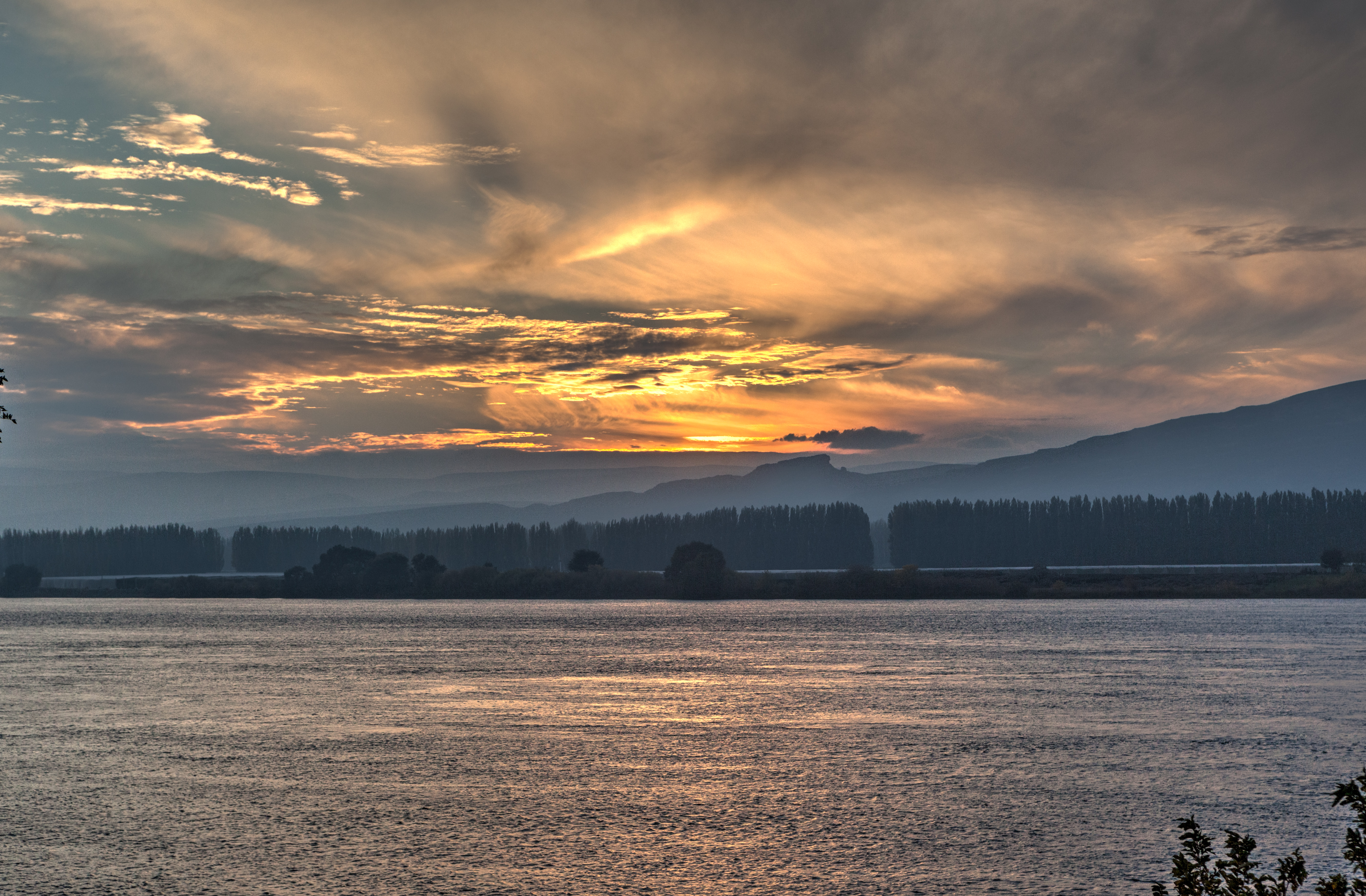
Sunset over Columbia River
hanford ranch
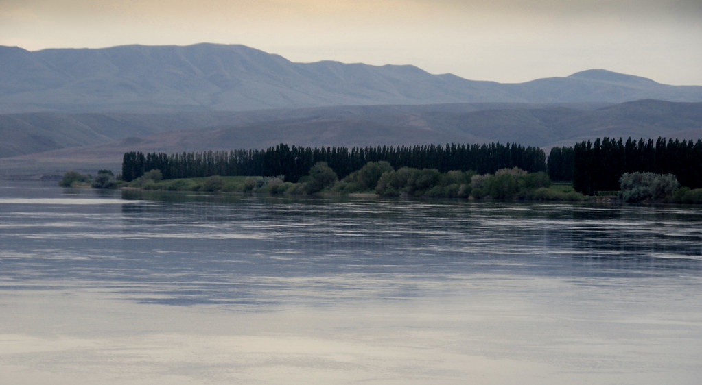
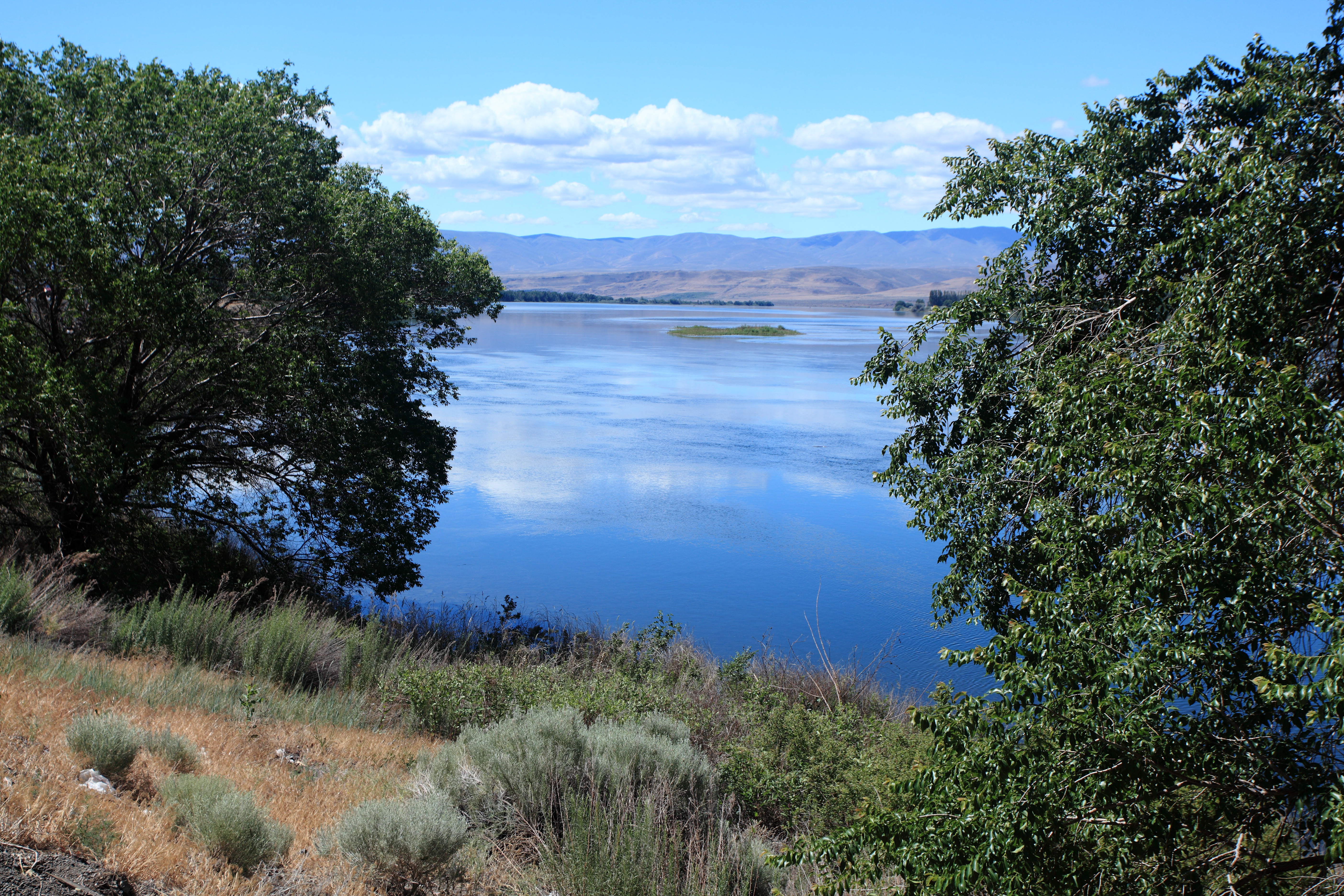
The Grand Columbia River near Priest Rapids Lake, Eastern Washington

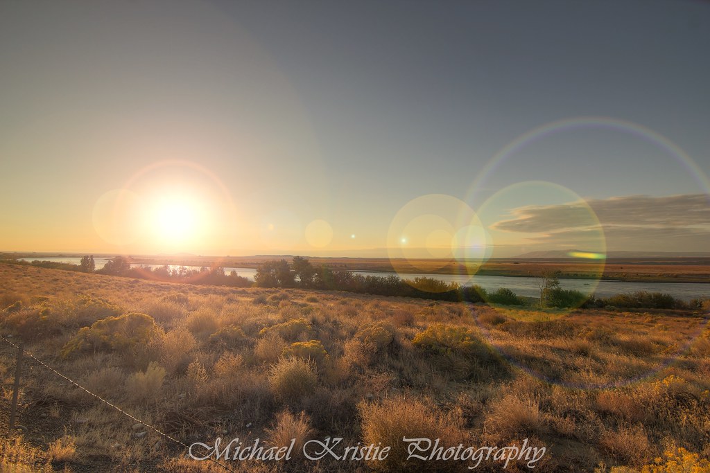
Eastern Washington Skies, 2013
New photo added to "VSCO Cam"
Columbia River

White Pelican

Washington Wasteland

Hanford Reach
Lenore Lake

Sol pur de sable de cold creek top for Syrah
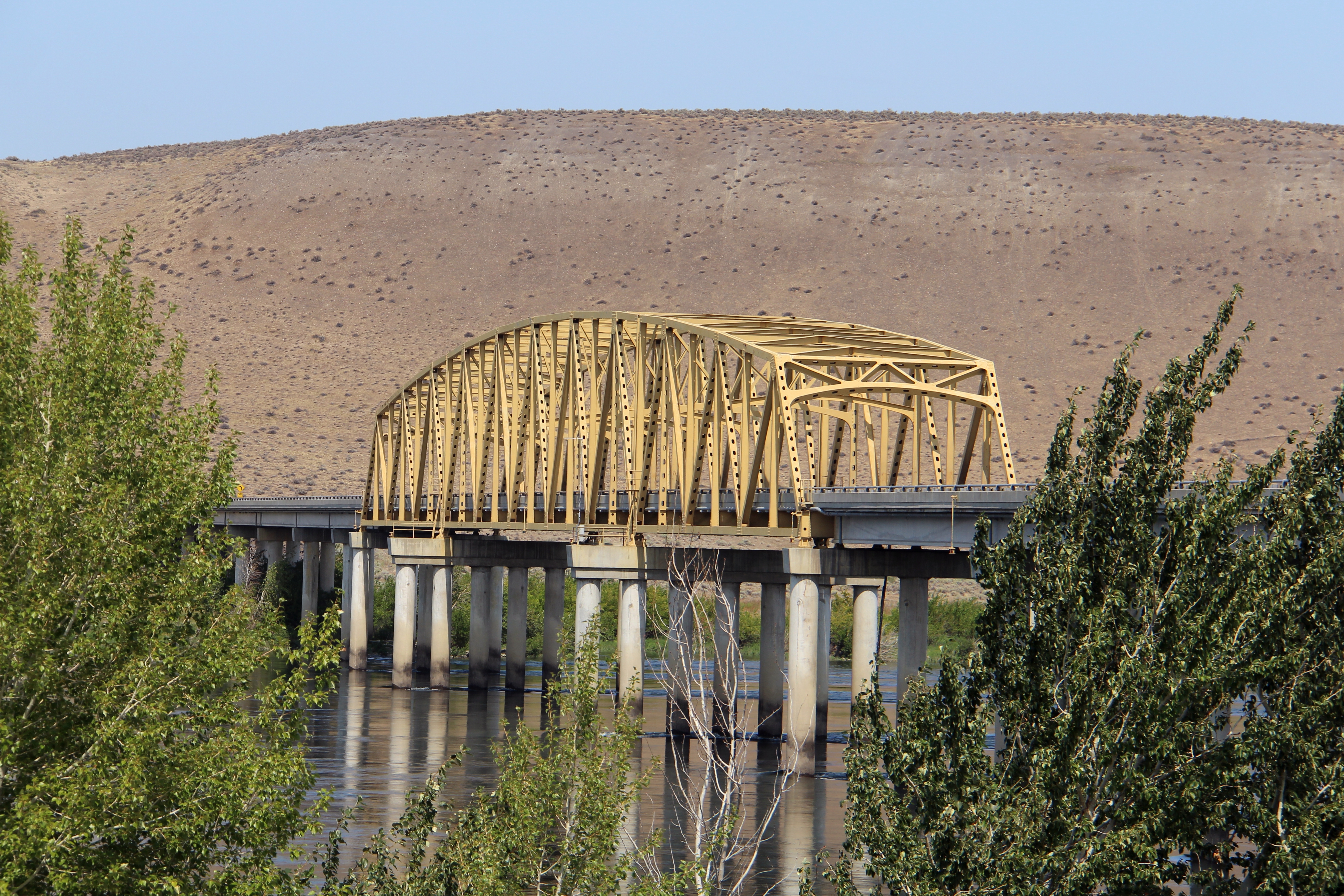
Vernita Bridge (Benton County and Grant County, Washington)
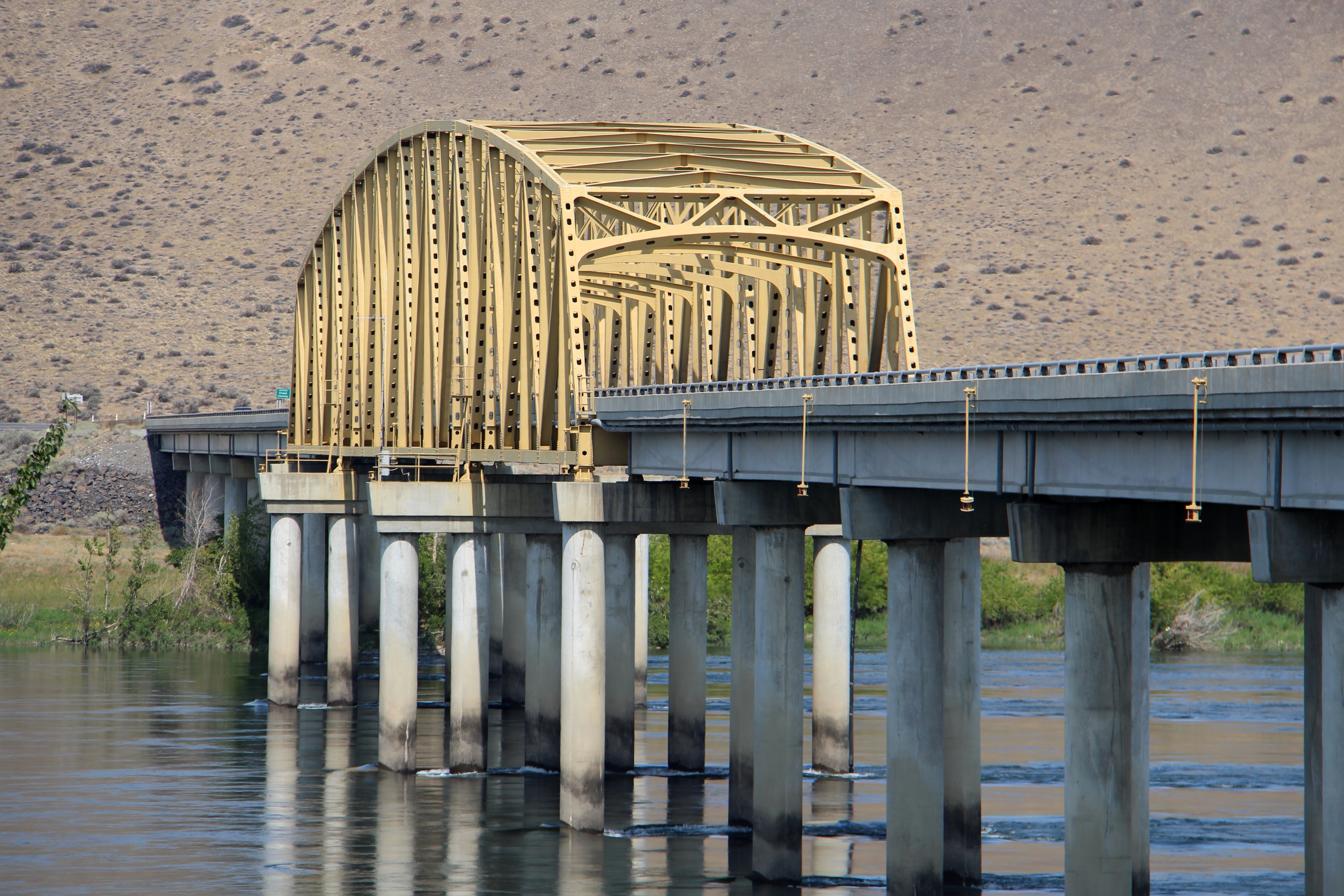
Vernita Bridge (Benton County and Grant County, Washington)

Sagebrush steppe, Priest Rapids Dam area

Sagebrush steppe, Priest Rapids Dam area
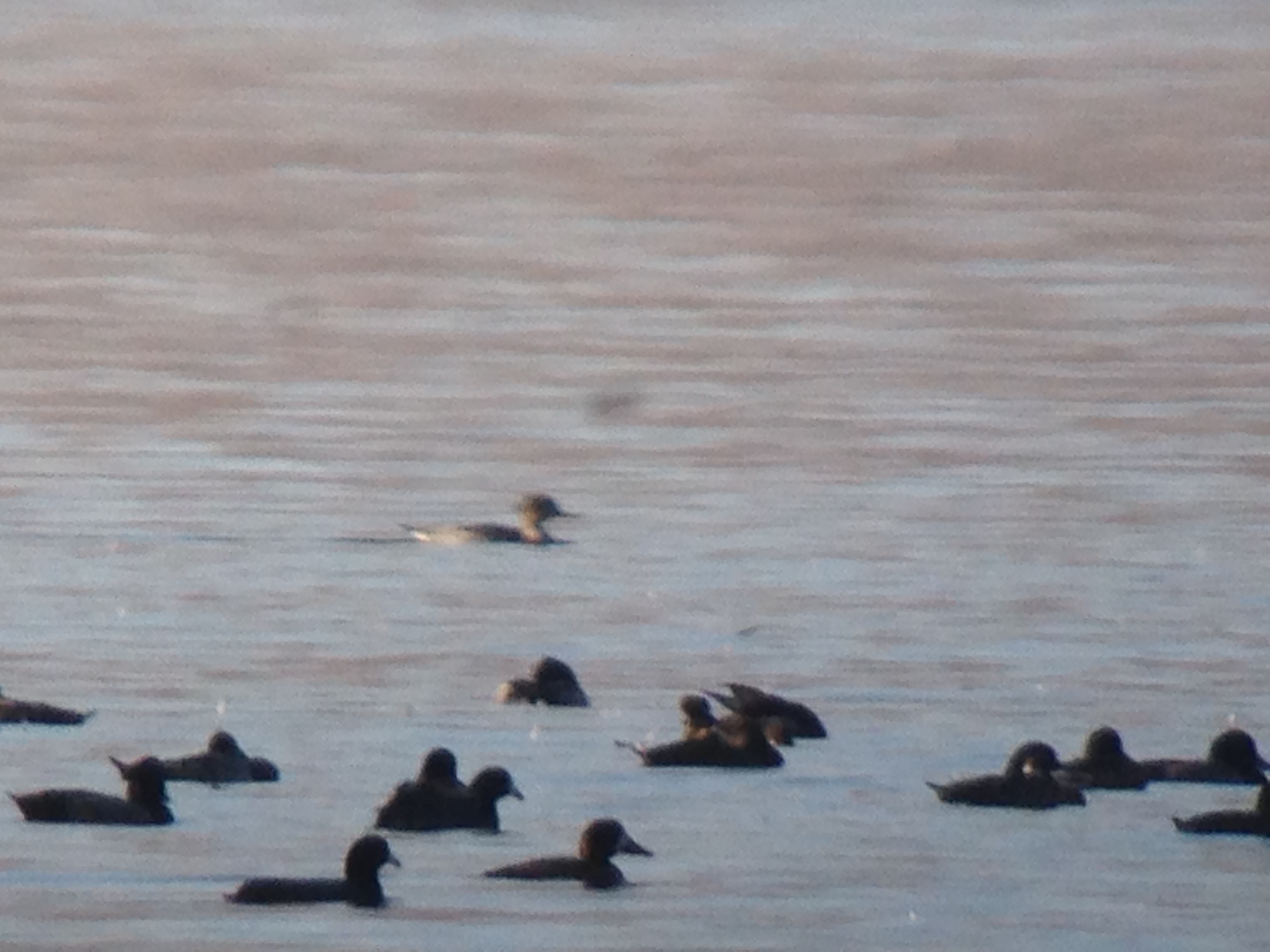
Red-breasted Merganser

Interesting Common Loon
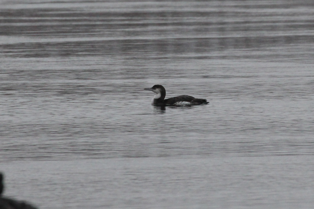
Interesting Common Loon
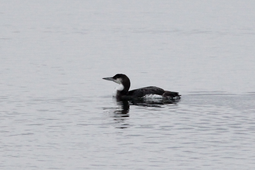
Interesting Common Loon
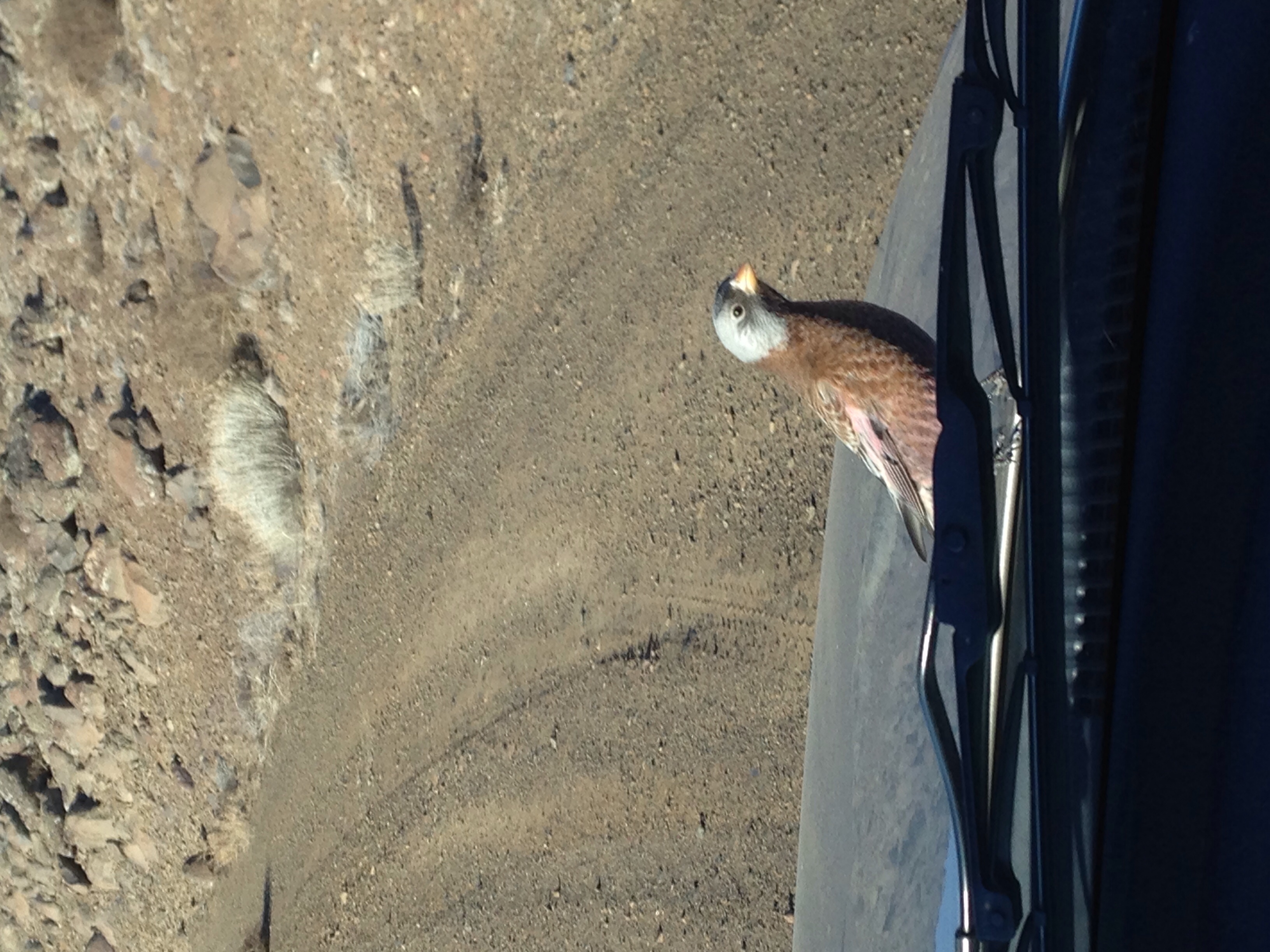
Excuse me?
Red-breasted Merganser Doc Shot
IMG_0077.JPG
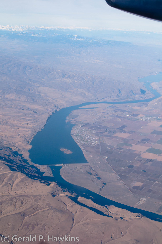
Priest Rapids Lake and Dam
Desert Aire, WA, USA Karte
Suchen Sie einen anderen Ort
Nahe Plätze
Apricot Pl S, Mattawa, WA, USA
Mattawa, WA, USA
Riverside Rd, Yakima, WA, USA
Beverly, WA, USA
WA-, Beverly, WA, USA
Umtanum Ridge, Washington, USA
Vantage, Washington, USA
81 Kittitas St, Ellensburg, WA, USA
Old Vantage Highway, Old Vantage Hwy, Washington, USA
Yakima River, Washington, USA
Wanapum Lake, Washington, USA
Ryegrass Safety Rest Area Eastbound, I-90, Ellensburg, WA, USA
Zillah, Washington, USA
Sun Acres Rd, Zillah, WA, USA
George, WA, USA
River Dr, Quincy, WA, USA
Yakima Valley Hwy, Zillah, WA, USA
Northstone Pkwy, Zillah, WA, USA
Manastash Ridge, Washington, USA
Moxee, Washington, USA
Letzte Suche
- Red Dog Mine, AK, USA Sonnenaufgang Sonnenuntergang Zeiten
- Am Bahnhof, Am bhf, Borken, Germany Sonnenaufgang Sonnenuntergang Zeiten
- 4th St E, Sonoma, CA, USA Sonnenaufgang Sonnenuntergang Zeiten
- Oakland Ave, Williamsport, PA, USA Sonnenaufgang Sonnenuntergang Zeiten
- Via Roma, Pieranica CR, Italien Sonnenaufgang Sonnenuntergang Zeiten
- Glockenturm, Grad, Dubrovnik, Kroatien Sonnenaufgang Sonnenuntergang Zeiten
- Trelew, Chubut Province, Argentina Sonnenaufgang Sonnenuntergang Zeiten
- Hartfords Bluff Cir, Mt Pleasant, SC, USA Sonnenaufgang Sonnenuntergang Zeiten
- Kita-ku, Kumamoto, Präfektur Kumamoto, Japan Sonnenaufgang Sonnenuntergang Zeiten
- Pingtan Island, Pingtan County, Fuzhou, China Sonnenaufgang Sonnenuntergang Zeiten