Antelope Peak, California, USA Sonnenaufgang Sonnenuntergang Zeiten
Location: USA > Kalifornien > Mono County > Coleville >
Zeitzone:
America/Los_Angeles
Ortszeit:
2025-06-20 23:50:08
Länge:
-119.5573918
Breite:
38.4704667
Sonnenaufgang Heute:
05:34:36 AM
Sonnenuntergang Heute:
08:25:50 PM
Tageslänge heute:
14h 51m 14s
Sonnenaufgang morgen:
05:34:51 AM
Sonnenuntergang Morgen:
08:26:00 PM
Tageslänge von morgen:
14h 51m 9s
Alle Termine anzeigen
| Datum | Sonnenaufgang | Sonnenuntergang | Tageslänge |
|---|---|---|---|
| 2025-01-01 | 07:15:41 AM | 04:49:13 PM | 9h 33m 32s |
| 2025-01-02 | 07:15:45 AM | 04:50:04 PM | 9h 34m 19s |
| 2025-01-03 | 07:15:47 AM | 04:50:56 PM | 9h 35m 9s |
| 2025-01-04 | 07:15:47 AM | 04:51:49 PM | 9h 36m 2s |
| 2025-01-05 | 07:15:45 AM | 04:52:44 PM | 9h 36m 59s |
| 2025-01-06 | 07:15:41 AM | 04:53:40 PM | 9h 37m 59s |
| 2025-01-07 | 07:15:35 AM | 04:54:36 PM | 9h 39m 1s |
| 2025-01-08 | 07:15:27 AM | 04:55:34 PM | 9h 40m 7s |
| 2025-01-09 | 07:15:16 AM | 04:56:33 PM | 9h 41m 17s |
| 2025-01-10 | 07:15:04 AM | 04:57:33 PM | 9h 42m 29s |
| 2025-01-11 | 07:14:49 AM | 04:58:33 PM | 9h 43m 44s |
| 2025-01-12 | 07:14:32 AM | 04:59:35 PM | 9h 45m 3s |
| 2025-01-13 | 07:14:13 AM | 05:00:37 PM | 9h 46m 24s |
| 2025-01-14 | 07:13:52 AM | 05:01:40 PM | 9h 47m 48s |
| 2025-01-15 | 07:13:29 AM | 05:02:44 PM | 9h 49m 15s |
| 2025-01-16 | 07:13:04 AM | 05:03:48 PM | 9h 50m 44s |
| 2025-01-17 | 07:12:37 AM | 05:04:53 PM | 9h 52m 16s |
| 2025-01-18 | 07:12:08 AM | 05:05:59 PM | 9h 53m 51s |
| 2025-01-19 | 07:11:37 AM | 05:07:05 PM | 9h 55m 28s |
| 2025-01-20 | 07:11:05 AM | 05:08:11 PM | 9h 57m 6s |
| 2025-01-21 | 07:10:30 AM | 05:09:18 PM | 9h 58m 48s |
| 2025-01-22 | 07:09:53 AM | 05:10:25 PM | 10h 0m 32s |
| 2025-01-23 | 07:09:14 AM | 05:11:33 PM | 10h 2m 19s |
| 2025-01-24 | 07:08:34 AM | 05:12:40 PM | 10h 4m 6s |
| 2025-01-25 | 07:07:51 AM | 05:13:48 PM | 10h 5m 57s |
| 2025-01-26 | 07:07:07 AM | 05:14:57 PM | 10h 7m 50s |
| 2025-01-27 | 07:06:21 AM | 05:16:05 PM | 10h 9m 44s |
| 2025-01-28 | 07:05:34 AM | 05:17:13 PM | 10h 11m 39s |
| 2025-01-29 | 07:04:44 AM | 05:18:22 PM | 10h 13m 38s |
| 2025-01-30 | 07:03:53 AM | 05:19:30 PM | 10h 15m 37s |
| 2025-01-31 | 07:03:00 AM | 05:20:39 PM | 10h 17m 39s |
| 2025-02-01 | 07:02:06 AM | 05:21:48 PM | 10h 19m 42s |
| 2025-02-02 | 07:01:10 AM | 05:22:56 PM | 10h 21m 46s |
| 2025-02-03 | 07:00:13 AM | 05:24:05 PM | 10h 23m 52s |
| 2025-02-04 | 06:59:14 AM | 05:25:13 PM | 10h 25m 59s |
| 2025-02-05 | 06:58:13 AM | 05:26:21 PM | 10h 28m 8s |
| 2025-02-06 | 06:57:11 AM | 05:27:30 PM | 10h 30m 19s |
| 2025-02-07 | 06:56:08 AM | 05:28:38 PM | 10h 32m 30s |
| 2025-02-08 | 06:55:03 AM | 05:29:45 PM | 10h 34m 42s |
| 2025-02-09 | 06:53:57 AM | 05:30:53 PM | 10h 36m 56s |
| 2025-02-10 | 06:52:50 AM | 05:32:00 PM | 10h 39m 10s |
| 2025-02-11 | 06:51:41 AM | 05:33:08 PM | 10h 41m 27s |
| 2025-02-12 | 06:50:31 AM | 05:34:15 PM | 10h 43m 44s |
| 2025-02-13 | 06:49:20 AM | 05:35:21 PM | 10h 46m 1s |
| 2025-02-14 | 06:48:07 AM | 05:36:28 PM | 10h 48m 21s |
| 2025-02-15 | 06:46:54 AM | 05:37:34 PM | 10h 50m 40s |
| 2025-02-16 | 06:45:39 AM | 05:38:40 PM | 10h 53m 1s |
| 2025-02-17 | 06:44:23 AM | 05:39:45 PM | 10h 55m 22s |
| 2025-02-18 | 06:43:06 AM | 05:40:51 PM | 10h 57m 45s |
| 2025-02-19 | 06:41:48 AM | 05:41:56 PM | 11h 0m 8s |
| 2025-02-20 | 06:40:30 AM | 05:43:00 PM | 11h 2m 30s |
| 2025-02-21 | 06:39:10 AM | 05:44:04 PM | 11h 4m 54s |
| 2025-02-22 | 06:37:49 AM | 05:45:09 PM | 11h 7m 20s |
| 2025-02-23 | 06:36:28 AM | 05:46:12 PM | 11h 9m 44s |
| 2025-02-24 | 06:35:05 AM | 05:47:16 PM | 11h 12m 11s |
| 2025-02-25 | 06:33:42 AM | 05:48:19 PM | 11h 14m 37s |
| 2025-02-26 | 06:32:18 AM | 05:49:21 PM | 11h 17m 3s |
| 2025-02-27 | 06:30:53 AM | 05:50:24 PM | 11h 19m 31s |
| 2025-02-28 | 06:29:28 AM | 05:51:26 PM | 11h 21m 58s |
| 2025-03-01 | 06:28:02 AM | 05:52:28 PM | 11h 24m 26s |
| 2025-03-02 | 06:26:35 AM | 05:53:29 PM | 11h 26m 54s |
| 2025-03-03 | 06:25:07 AM | 05:54:31 PM | 11h 29m 24s |
| 2025-03-04 | 06:23:39 AM | 05:55:32 PM | 11h 31m 53s |
| 2025-03-05 | 06:22:11 AM | 05:56:32 PM | 11h 34m 21s |
| 2025-03-06 | 06:20:42 AM | 05:57:33 PM | 11h 36m 51s |
| 2025-03-07 | 06:19:12 AM | 05:58:33 PM | 11h 39m 21s |
| 2025-03-08 | 06:17:42 AM | 05:59:33 PM | 11h 41m 51s |
| 2025-03-09 | 07:16:15 AM | 07:00:30 PM | 11h 44m 15s |
| 2025-03-10 | 07:14:44 AM | 07:01:29 PM | 11h 46m 45s |
| 2025-03-11 | 07:13:13 AM | 07:02:29 PM | 11h 49m 16s |
| 2025-03-12 | 07:11:42 AM | 07:03:27 PM | 11h 51m 45s |
| 2025-03-13 | 07:10:10 AM | 07:04:26 PM | 11h 54m 16s |
| 2025-03-14 | 07:08:38 AM | 07:05:25 PM | 11h 56m 47s |
| 2025-03-15 | 07:07:05 AM | 07:06:23 PM | 11h 59m 18s |
| 2025-03-16 | 07:05:33 AM | 07:07:21 PM | 12h 1m 48s |
| 2025-03-17 | 07:04:00 AM | 07:08:19 PM | 12h 4m 19s |
| 2025-03-18 | 07:02:27 AM | 07:09:17 PM | 12h 6m 50s |
| 2025-03-19 | 07:00:54 AM | 07:10:15 PM | 12h 9m 21s |
| 2025-03-20 | 06:59:21 AM | 07:11:12 PM | 12h 11m 51s |
| 2025-03-21 | 06:57:47 AM | 07:12:10 PM | 12h 14m 23s |
| 2025-03-22 | 06:56:14 AM | 07:13:07 PM | 12h 16m 53s |
| 2025-03-23 | 06:54:41 AM | 07:14:04 PM | 12h 19m 23s |
| 2025-03-24 | 06:53:08 AM | 07:15:01 PM | 12h 21m 53s |
| 2025-03-25 | 06:51:34 AM | 07:15:58 PM | 12h 24m 24s |
| 2025-03-26 | 06:50:01 AM | 07:16:55 PM | 12h 26m 54s |
| 2025-03-27 | 06:48:28 AM | 07:17:52 PM | 12h 29m 24s |
| 2025-03-28 | 06:46:55 AM | 07:18:48 PM | 12h 31m 53s |
| 2025-03-29 | 06:45:23 AM | 07:19:45 PM | 12h 34m 22s |
| 2025-03-30 | 06:43:50 AM | 07:20:42 PM | 12h 36m 52s |
| 2025-03-31 | 06:42:18 AM | 07:21:38 PM | 12h 39m 20s |
| 2025-04-01 | 06:40:46 AM | 07:22:35 PM | 12h 41m 49s |
| 2025-04-02 | 06:39:15 AM | 07:23:31 PM | 12h 44m 16s |
| 2025-04-03 | 06:37:43 AM | 07:24:28 PM | 12h 46m 45s |
| 2025-04-04 | 06:36:12 AM | 07:25:25 PM | 12h 49m 13s |
| 2025-04-05 | 06:34:42 AM | 07:26:21 PM | 12h 51m 39s |
| 2025-04-06 | 06:33:12 AM | 07:27:18 PM | 12h 54m 6s |
| 2025-04-07 | 06:31:42 AM | 07:28:14 PM | 12h 56m 32s |
| 2025-04-08 | 06:30:13 AM | 07:29:11 PM | 12h 58m 58s |
| 2025-04-09 | 06:28:44 AM | 07:30:08 PM | 13h 1m 24s |
| 2025-04-10 | 06:27:16 AM | 07:31:04 PM | 13h 3m 48s |
| 2025-04-11 | 06:25:48 AM | 07:32:01 PM | 13h 6m 13s |
| 2025-04-12 | 06:24:21 AM | 07:32:58 PM | 13h 8m 37s |
| 2025-04-13 | 06:22:55 AM | 07:33:54 PM | 13h 10m 59s |
| 2025-04-14 | 06:21:29 AM | 07:34:51 PM | 13h 13m 22s |
| 2025-04-15 | 06:20:04 AM | 07:35:48 PM | 13h 15m 44s |
| 2025-04-16 | 06:18:40 AM | 07:36:45 PM | 13h 18m 5s |
| 2025-04-17 | 06:17:16 AM | 07:37:42 PM | 13h 20m 26s |
| 2025-04-18 | 06:15:53 AM | 07:38:39 PM | 13h 22m 46s |
| 2025-04-19 | 06:14:31 AM | 07:39:36 PM | 13h 25m 5s |
| 2025-04-20 | 06:13:10 AM | 07:40:33 PM | 13h 27m 23s |
| 2025-04-21 | 06:11:50 AM | 07:41:30 PM | 13h 29m 40s |
| 2025-04-22 | 06:10:30 AM | 07:42:27 PM | 13h 31m 57s |
| 2025-04-23 | 06:09:12 AM | 07:43:24 PM | 13h 34m 12s |
| 2025-04-24 | 06:07:55 AM | 07:44:21 PM | 13h 36m 26s |
| 2025-04-25 | 06:06:38 AM | 07:45:18 PM | 13h 38m 40s |
| 2025-04-26 | 06:05:23 AM | 07:46:15 PM | 13h 40m 52s |
| 2025-04-27 | 06:04:08 AM | 07:47:12 PM | 13h 43m 4s |
| 2025-04-28 | 06:02:55 AM | 07:48:09 PM | 13h 45m 14s |
| 2025-04-29 | 06:01:43 AM | 07:49:06 PM | 13h 47m 23s |
| 2025-04-30 | 06:00:32 AM | 07:50:02 PM | 13h 49m 30s |
| 2025-05-01 | 05:59:22 AM | 07:50:59 PM | 13h 51m 37s |
| 2025-05-02 | 05:58:13 AM | 07:51:56 PM | 13h 53m 43s |
| 2025-05-03 | 05:57:06 AM | 07:52:52 PM | 13h 55m 46s |
| 2025-05-04 | 05:55:59 AM | 07:53:48 PM | 13h 57m 49s |
| 2025-05-05 | 05:54:54 AM | 07:54:44 PM | 13h 59m 50s |
| 2025-05-06 | 05:53:51 AM | 07:55:40 PM | 14h 1m 49s |
| 2025-05-07 | 05:52:49 AM | 07:56:36 PM | 14h 3m 47s |
| 2025-05-08 | 05:51:48 AM | 07:57:31 PM | 14h 5m 43s |
| 2025-05-09 | 05:50:48 AM | 07:58:27 PM | 14h 7m 39s |
| 2025-05-10 | 05:49:50 AM | 07:59:22 PM | 14h 9m 32s |
| 2025-05-11 | 05:48:54 AM | 08:00:16 PM | 14h 11m 22s |
| 2025-05-12 | 05:47:59 AM | 08:01:11 PM | 14h 13m 12s |
| 2025-05-13 | 05:47:05 AM | 08:02:04 PM | 14h 14m 59s |
| 2025-05-14 | 05:46:13 AM | 08:02:58 PM | 14h 16m 45s |
| 2025-05-15 | 05:45:23 AM | 08:03:51 PM | 14h 18m 28s |
| 2025-05-16 | 05:44:34 AM | 08:04:44 PM | 14h 20m 10s |
| 2025-05-17 | 05:43:47 AM | 08:05:36 PM | 14h 21m 49s |
| 2025-05-18 | 05:43:01 AM | 08:06:27 PM | 14h 23m 26s |
| 2025-05-19 | 05:42:17 AM | 08:07:18 PM | 14h 25m 1s |
| 2025-05-20 | 05:41:35 AM | 08:08:09 PM | 14h 26m 34s |
| 2025-05-21 | 05:40:54 AM | 08:08:59 PM | 14h 28m 5s |
| 2025-05-22 | 05:40:15 AM | 08:09:48 PM | 14h 29m 33s |
| 2025-05-23 | 05:39:38 AM | 08:10:36 PM | 14h 30m 58s |
| 2025-05-24 | 05:39:02 AM | 08:11:24 PM | 14h 32m 22s |
| 2025-05-25 | 05:38:29 AM | 08:12:11 PM | 14h 33m 42s |
| 2025-05-26 | 05:37:57 AM | 08:12:57 PM | 14h 35m 0s |
| 2025-05-27 | 05:37:27 AM | 08:13:42 PM | 14h 36m 15s |
| 2025-05-28 | 05:36:58 AM | 08:14:26 PM | 14h 37m 28s |
| 2025-05-29 | 05:36:32 AM | 08:15:09 PM | 14h 38m 37s |
| 2025-05-30 | 05:36:07 AM | 08:15:52 PM | 14h 39m 45s |
| 2025-05-31 | 05:35:44 AM | 08:16:33 PM | 14h 40m 49s |
| 2025-06-01 | 05:35:23 AM | 08:17:13 PM | 14h 41m 50s |
| 2025-06-02 | 05:35:04 AM | 08:17:52 PM | 14h 42m 48s |
| 2025-06-03 | 05:34:46 AM | 08:18:30 PM | 14h 43m 44s |
| 2025-06-04 | 05:34:31 AM | 08:19:07 PM | 14h 44m 36s |
| 2025-06-05 | 05:34:17 AM | 08:19:43 PM | 14h 45m 26s |
| 2025-06-06 | 05:34:06 AM | 08:20:17 PM | 14h 46m 11s |
| 2025-06-07 | 05:33:56 AM | 08:20:50 PM | 14h 46m 54s |
| 2025-06-08 | 05:33:47 AM | 08:21:22 PM | 14h 47m 35s |
| 2025-06-09 | 05:33:41 AM | 08:21:52 PM | 14h 48m 11s |
| 2025-06-10 | 05:33:37 AM | 08:22:21 PM | 14h 48m 44s |
| 2025-06-11 | 05:33:34 AM | 08:22:48 PM | 14h 49m 14s |
| 2025-06-12 | 05:33:33 AM | 08:23:14 PM | 14h 49m 41s |
| 2025-06-13 | 05:33:34 AM | 08:23:39 PM | 14h 50m 5s |
| 2025-06-14 | 05:33:37 AM | 08:24:02 PM | 14h 50m 25s |
| 2025-06-15 | 05:33:42 AM | 08:24:23 PM | 14h 50m 41s |
| 2025-06-16 | 05:33:48 AM | 08:24:43 PM | 14h 50m 55s |
| 2025-06-17 | 05:33:56 AM | 08:25:01 PM | 14h 51m 5s |
| 2025-06-18 | 05:34:06 AM | 08:25:17 PM | 14h 51m 11s |
| 2025-06-19 | 05:34:17 AM | 08:25:32 PM | 14h 51m 15s |
| 2025-06-20 | 05:34:30 AM | 08:25:45 PM | 14h 51m 15s |
| 2025-06-21 | 05:34:45 AM | 08:25:56 PM | 14h 51m 11s |
| 2025-06-22 | 05:35:01 AM | 08:26:06 PM | 14h 51m 5s |
| 2025-06-23 | 05:35:19 AM | 08:26:14 PM | 14h 50m 55s |
| 2025-06-24 | 05:35:39 AM | 08:26:20 PM | 14h 50m 41s |
| 2025-06-25 | 05:36:00 AM | 08:26:24 PM | 14h 50m 24s |
| 2025-06-26 | 05:36:22 AM | 08:26:26 PM | 14h 50m 4s |
| 2025-06-27 | 05:36:46 AM | 08:26:27 PM | 14h 49m 41s |
| 2025-06-28 | 05:37:12 AM | 08:26:25 PM | 14h 49m 13s |
| 2025-06-29 | 05:37:39 AM | 08:26:22 PM | 14h 48m 43s |
| 2025-06-30 | 05:38:07 AM | 08:26:17 PM | 14h 48m 10s |
| 2025-07-01 | 05:38:37 AM | 08:26:10 PM | 14h 47m 33s |
| 2025-07-02 | 05:39:08 AM | 08:26:01 PM | 14h 46m 53s |
| 2025-07-03 | 05:39:40 AM | 08:25:50 PM | 14h 46m 10s |
| 2025-07-04 | 05:40:13 AM | 08:25:37 PM | 14h 45m 24s |
| 2025-07-05 | 05:40:48 AM | 08:25:23 PM | 14h 44m 35s |
| 2025-07-06 | 05:41:23 AM | 08:25:06 PM | 14h 43m 43s |
| 2025-07-07 | 05:42:00 AM | 08:24:48 PM | 14h 42m 48s |
| 2025-07-08 | 05:42:38 AM | 08:24:28 PM | 14h 41m 50s |
| 2025-07-09 | 05:43:17 AM | 08:24:06 PM | 14h 40m 49s |
| 2025-07-10 | 05:43:57 AM | 08:23:42 PM | 14h 39m 45s |
| 2025-07-11 | 05:44:38 AM | 08:23:16 PM | 14h 38m 38s |
| 2025-07-12 | 05:45:19 AM | 08:22:48 PM | 14h 37m 29s |
| 2025-07-13 | 05:46:02 AM | 08:22:19 PM | 14h 36m 17s |
| 2025-07-14 | 05:46:45 AM | 08:21:48 PM | 14h 35m 3s |
| 2025-07-15 | 05:47:30 AM | 08:21:14 PM | 14h 33m 44s |
| 2025-07-16 | 05:48:15 AM | 08:20:39 PM | 14h 32m 24s |
| 2025-07-17 | 05:49:00 AM | 08:20:03 PM | 14h 31m 3s |
| 2025-07-18 | 05:49:47 AM | 08:19:24 PM | 14h 29m 37s |
| 2025-07-19 | 05:50:34 AM | 08:18:44 PM | 14h 28m 10s |
| 2025-07-20 | 05:51:21 AM | 08:18:02 PM | 14h 26m 41s |
| 2025-07-21 | 05:52:09 AM | 08:17:18 PM | 14h 25m 9s |
| 2025-07-22 | 05:52:58 AM | 08:16:33 PM | 14h 23m 35s |
| 2025-07-23 | 05:53:47 AM | 08:15:46 PM | 14h 21m 59s |
| 2025-07-24 | 05:54:37 AM | 08:14:57 PM | 14h 20m 20s |
| 2025-07-25 | 05:55:27 AM | 08:14:07 PM | 14h 18m 40s |
| 2025-07-26 | 05:56:18 AM | 08:13:15 PM | 14h 16m 57s |
| 2025-07-27 | 05:57:08 AM | 08:12:21 PM | 14h 15m 13s |
| 2025-07-28 | 05:58:00 AM | 08:11:26 PM | 14h 13m 26s |
| 2025-07-29 | 05:58:51 AM | 08:10:30 PM | 14h 11m 39s |
| 2025-07-30 | 05:59:43 AM | 08:09:32 PM | 14h 9m 49s |
| 2025-07-31 | 06:00:35 AM | 08:08:32 PM | 14h 7m 57s |
| 2025-08-01 | 06:01:27 AM | 08:07:31 PM | 14h 6m 4s |
| 2025-08-02 | 06:02:20 AM | 08:06:29 PM | 14h 4m 9s |
| 2025-08-03 | 06:03:12 AM | 08:05:25 PM | 14h 2m 13s |
| 2025-08-04 | 06:04:05 AM | 08:04:20 PM | 14h 0m 15s |
| 2025-08-05 | 06:04:58 AM | 08:03:13 PM | 13h 58m 15s |
| 2025-08-06 | 06:05:51 AM | 08:02:06 PM | 13h 56m 15s |
| 2025-08-07 | 06:06:44 AM | 08:00:57 PM | 13h 54m 13s |
| 2025-08-08 | 06:07:37 AM | 07:59:46 PM | 13h 52m 9s |
| 2025-08-09 | 06:08:31 AM | 07:58:35 PM | 13h 50m 4s |
| 2025-08-10 | 06:09:24 AM | 07:57:22 PM | 13h 47m 58s |
| 2025-08-11 | 06:10:17 AM | 07:56:08 PM | 13h 45m 51s |
| 2025-08-12 | 06:11:11 AM | 07:54:53 PM | 13h 43m 42s |
| 2025-08-13 | 06:12:04 AM | 07:53:37 PM | 13h 41m 33s |
| 2025-08-14 | 06:12:57 AM | 07:52:20 PM | 13h 39m 23s |
| 2025-08-15 | 06:13:51 AM | 07:51:02 PM | 13h 37m 11s |
| 2025-08-16 | 06:14:44 AM | 07:49:43 PM | 13h 34m 59s |
| 2025-08-17 | 06:15:37 AM | 07:48:23 PM | 13h 32m 46s |
| 2025-08-18 | 06:16:31 AM | 07:47:02 PM | 13h 30m 31s |
| 2025-08-19 | 06:17:24 AM | 07:45:40 PM | 13h 28m 16s |
| 2025-08-20 | 06:18:17 AM | 07:44:17 PM | 13h 26m 0s |
| 2025-08-21 | 06:19:10 AM | 07:42:53 PM | 13h 23m 43s |
| 2025-08-22 | 06:20:03 AM | 07:41:29 PM | 13h 21m 26s |
| 2025-08-23 | 06:20:56 AM | 07:40:03 PM | 13h 19m 7s |
| 2025-08-24 | 06:21:49 AM | 07:38:37 PM | 13h 16m 48s |
| 2025-08-25 | 06:22:42 AM | 07:37:10 PM | 13h 14m 28s |
| 2025-08-26 | 06:23:34 AM | 07:35:43 PM | 13h 12m 9s |
| 2025-08-27 | 06:24:27 AM | 07:34:15 PM | 13h 9m 48s |
| 2025-08-28 | 06:25:20 AM | 07:32:46 PM | 13h 7m 26s |
| 2025-08-29 | 06:26:12 AM | 07:31:16 PM | 13h 5m 4s |
| 2025-08-30 | 06:27:05 AM | 07:29:46 PM | 13h 2m 41s |
| 2025-08-31 | 06:27:57 AM | 07:28:16 PM | 13h 0m 19s |
| 2025-09-01 | 06:28:50 AM | 07:26:45 PM | 12h 57m 55s |
| 2025-09-02 | 06:29:42 AM | 07:25:13 PM | 12h 55m 31s |
| 2025-09-03 | 06:30:34 AM | 07:23:41 PM | 12h 53m 7s |
| 2025-09-04 | 06:31:26 AM | 07:22:09 PM | 12h 50m 43s |
| 2025-09-05 | 06:32:19 AM | 07:20:36 PM | 12h 48m 17s |
| 2025-09-06 | 06:33:11 AM | 07:19:03 PM | 12h 45m 52s |
| 2025-09-07 | 06:34:03 AM | 07:17:29 PM | 12h 43m 26s |
| 2025-09-08 | 06:34:55 AM | 07:15:55 PM | 12h 41m 0s |
| 2025-09-09 | 06:35:47 AM | 07:14:21 PM | 12h 38m 34s |
| 2025-09-10 | 06:36:40 AM | 07:12:46 PM | 12h 36m 6s |
| 2025-09-11 | 06:37:32 AM | 07:11:12 PM | 12h 33m 40s |
| 2025-09-12 | 06:38:24 AM | 07:09:37 PM | 12h 31m 13s |
| 2025-09-13 | 06:39:16 AM | 07:08:02 PM | 12h 28m 46s |
| 2025-09-14 | 06:40:09 AM | 07:06:27 PM | 12h 26m 18s |
| 2025-09-15 | 06:41:01 AM | 07:04:51 PM | 12h 23m 50s |
| 2025-09-16 | 06:41:54 AM | 07:03:16 PM | 12h 21m 22s |
| 2025-09-17 | 06:42:46 AM | 07:01:40 PM | 12h 18m 54s |
| 2025-09-18 | 06:43:39 AM | 07:00:05 PM | 12h 16m 26s |
| 2025-09-19 | 06:44:32 AM | 06:58:29 PM | 12h 13m 57s |
| 2025-09-20 | 06:45:25 AM | 06:56:54 PM | 12h 11m 29s |
| 2025-09-21 | 06:46:18 AM | 06:55:19 PM | 12h 9m 1s |
| 2025-09-22 | 06:47:11 AM | 06:53:43 PM | 12h 6m 32s |
| 2025-09-23 | 06:48:04 AM | 06:52:08 PM | 12h 4m 4s |
| 2025-09-24 | 06:48:58 AM | 06:50:33 PM | 12h 1m 35s |
| 2025-09-25 | 06:49:51 AM | 06:48:58 PM | 11h 59m 7s |
| 2025-09-26 | 06:50:45 AM | 06:47:24 PM | 11h 56m 39s |
| 2025-09-27 | 06:51:39 AM | 06:45:50 PM | 11h 54m 11s |
| 2025-09-28 | 06:52:33 AM | 06:44:15 PM | 11h 51m 42s |
| 2025-09-29 | 06:53:28 AM | 06:42:42 PM | 11h 49m 14s |
| 2025-09-30 | 06:54:22 AM | 06:41:08 PM | 11h 46m 46s |
| 2025-10-01 | 06:55:17 AM | 06:39:35 PM | 11h 44m 18s |
| 2025-10-02 | 06:56:12 AM | 06:38:02 PM | 11h 41m 50s |
| 2025-10-03 | 06:57:08 AM | 06:36:30 PM | 11h 39m 22s |
| 2025-10-04 | 06:58:04 AM | 06:34:58 PM | 11h 36m 54s |
| 2025-10-05 | 06:59:00 AM | 06:33:27 PM | 11h 34m 27s |
| 2025-10-06 | 06:59:56 AM | 06:31:56 PM | 11h 32m 0s |
| 2025-10-07 | 07:00:52 AM | 06:30:26 PM | 11h 29m 34s |
| 2025-10-08 | 07:01:49 AM | 06:28:56 PM | 11h 27m 7s |
| 2025-10-09 | 07:02:46 AM | 06:27:27 PM | 11h 24m 41s |
| 2025-10-10 | 07:03:44 AM | 06:25:59 PM | 11h 22m 15s |
| 2025-10-11 | 07:04:42 AM | 06:24:31 PM | 11h 19m 49s |
| 2025-10-12 | 07:05:40 AM | 06:23:04 PM | 11h 17m 24s |
| 2025-10-13 | 07:06:38 AM | 06:21:38 PM | 11h 15m 0s |
| 2025-10-14 | 07:07:37 AM | 06:20:12 PM | 11h 12m 35s |
| 2025-10-15 | 07:08:36 AM | 06:18:48 PM | 11h 10m 12s |
| 2025-10-16 | 07:09:36 AM | 06:17:24 PM | 11h 7m 48s |
| 2025-10-17 | 07:10:35 AM | 06:16:01 PM | 11h 5m 26s |
| 2025-10-18 | 07:11:36 AM | 06:14:39 PM | 11h 3m 3s |
| 2025-10-19 | 07:12:36 AM | 06:13:17 PM | 11h 0m 41s |
| 2025-10-20 | 07:13:37 AM | 06:11:57 PM | 10h 58m 20s |
| 2025-10-21 | 07:14:38 AM | 06:10:38 PM | 10h 56m 0s |
| 2025-10-22 | 07:15:40 AM | 06:09:20 PM | 10h 53m 40s |
| 2025-10-23 | 07:16:41 AM | 06:08:03 PM | 10h 51m 22s |
| 2025-10-24 | 07:17:44 AM | 06:06:47 PM | 10h 49m 3s |
| 2025-10-25 | 07:18:46 AM | 06:05:32 PM | 10h 46m 46s |
| 2025-10-26 | 07:19:49 AM | 06:04:18 PM | 10h 44m 29s |
| 2025-10-27 | 07:20:52 AM | 06:03:06 PM | 10h 42m 14s |
| 2025-10-28 | 07:21:55 AM | 06:01:54 PM | 10h 39m 59s |
| 2025-10-29 | 07:22:59 AM | 06:00:44 PM | 10h 37m 45s |
| 2025-10-30 | 07:24:03 AM | 05:59:36 PM | 10h 35m 33s |
| 2025-10-31 | 07:25:07 AM | 05:58:28 PM | 10h 33m 21s |
| 2025-11-01 | 07:26:11 AM | 05:57:22 PM | 10h 31m 11s |
| 2025-11-02 | 06:27:19 AM | 04:56:15 PM | 10h 28m 56s |
| 2025-11-03 | 06:28:23 AM | 04:55:12 PM | 10h 26m 49s |
| 2025-11-04 | 06:29:28 AM | 04:54:11 PM | 10h 24m 43s |
| 2025-11-05 | 06:30:33 AM | 04:53:11 PM | 10h 22m 38s |
| 2025-11-06 | 06:31:39 AM | 04:52:12 PM | 10h 20m 33s |
| 2025-11-07 | 06:32:44 AM | 04:51:15 PM | 10h 18m 31s |
| 2025-11-08 | 06:33:49 AM | 04:50:20 PM | 10h 16m 31s |
| 2025-11-09 | 06:34:55 AM | 04:49:26 PM | 10h 14m 31s |
| 2025-11-10 | 06:36:00 AM | 04:48:34 PM | 10h 12m 34s |
| 2025-11-11 | 06:37:06 AM | 04:47:44 PM | 10h 10m 38s |
| 2025-11-12 | 06:38:11 AM | 04:46:55 PM | 10h 8m 44s |
| 2025-11-13 | 06:39:17 AM | 04:46:08 PM | 10h 6m 51s |
| 2025-11-14 | 06:40:22 AM | 04:45:23 PM | 10h 5m 1s |
| 2025-11-15 | 06:41:27 AM | 04:44:40 PM | 10h 3m 13s |
| 2025-11-16 | 06:42:32 AM | 04:43:59 PM | 10h 1m 27s |
| 2025-11-17 | 06:43:37 AM | 04:43:19 PM | 9h 59m 42s |
| 2025-11-18 | 06:44:42 AM | 04:42:42 PM | 9h 58m 0s |
| 2025-11-19 | 06:45:46 AM | 04:42:06 PM | 9h 56m 20s |
| 2025-11-20 | 06:46:50 AM | 04:41:33 PM | 9h 54m 43s |
| 2025-11-21 | 06:47:53 AM | 04:41:01 PM | 9h 53m 8s |
| 2025-11-22 | 06:48:56 AM | 04:40:31 PM | 9h 51m 35s |
| 2025-11-23 | 06:49:59 AM | 04:40:04 PM | 9h 50m 5s |
| 2025-11-24 | 06:51:01 AM | 04:39:38 PM | 9h 48m 37s |
| 2025-11-25 | 06:52:02 AM | 04:39:15 PM | 9h 47m 13s |
| 2025-11-26 | 06:53:03 AM | 04:38:53 PM | 9h 45m 50s |
| 2025-11-27 | 06:54:03 AM | 04:38:34 PM | 9h 44m 31s |
| 2025-11-28 | 06:55:02 AM | 04:38:17 PM | 9h 43m 15s |
| 2025-11-29 | 06:56:01 AM | 04:38:01 PM | 9h 42m 0s |
| 2025-11-30 | 06:56:59 AM | 04:37:48 PM | 9h 40m 49s |
| 2025-12-01 | 06:57:56 AM | 04:37:38 PM | 9h 39m 42s |
| 2025-12-02 | 06:58:52 AM | 04:37:29 PM | 9h 38m 37s |
| 2025-12-03 | 06:59:47 AM | 04:37:22 PM | 9h 37m 35s |
| 2025-12-04 | 07:00:41 AM | 04:37:18 PM | 9h 36m 37s |
| 2025-12-05 | 07:01:34 AM | 04:37:16 PM | 9h 35m 42s |
| 2025-12-06 | 07:02:25 AM | 04:37:16 PM | 9h 34m 51s |
| 2025-12-07 | 07:03:16 AM | 04:37:18 PM | 9h 34m 2s |
| 2025-12-08 | 07:04:05 AM | 04:37:22 PM | 9h 33m 17s |
| 2025-12-09 | 07:04:53 AM | 04:37:29 PM | 9h 32m 36s |
| 2025-12-10 | 07:05:40 AM | 04:37:37 PM | 9h 31m 57s |
| 2025-12-11 | 07:06:25 AM | 04:37:48 PM | 9h 31m 23s |
| 2025-12-12 | 07:07:09 AM | 04:38:01 PM | 9h 30m 52s |
| 2025-12-13 | 07:07:51 AM | 04:38:16 PM | 9h 30m 25s |
| 2025-12-14 | 07:08:32 AM | 04:38:33 PM | 9h 30m 1s |
| 2025-12-15 | 07:09:11 AM | 04:38:52 PM | 9h 29m 41s |
| 2025-12-16 | 07:09:49 AM | 04:39:13 PM | 9h 29m 24s |
| 2025-12-17 | 07:10:25 AM | 04:39:36 PM | 9h 29m 11s |
| 2025-12-18 | 07:10:59 AM | 04:40:01 PM | 9h 29m 2s |
| 2025-12-19 | 07:11:32 AM | 04:40:28 PM | 9h 28m 56s |
| 2025-12-20 | 07:12:02 AM | 04:40:57 PM | 9h 28m 55s |
| 2025-12-21 | 07:12:31 AM | 04:41:28 PM | 9h 28m 57s |
| 2025-12-22 | 07:12:58 AM | 04:42:00 PM | 9h 29m 2s |
| 2025-12-23 | 07:13:23 AM | 04:42:35 PM | 9h 29m 12s |
| 2025-12-24 | 07:13:46 AM | 04:43:11 PM | 9h 29m 25s |
| 2025-12-25 | 07:14:07 AM | 04:43:49 PM | 9h 29m 42s |
| 2025-12-26 | 07:14:27 AM | 04:44:29 PM | 9h 30m 2s |
| 2025-12-27 | 07:14:44 AM | 04:45:11 PM | 9h 30m 27s |
| 2025-12-28 | 07:14:59 AM | 04:45:54 PM | 9h 30m 55s |
| 2025-12-29 | 07:15:12 AM | 04:46:38 PM | 9h 31m 26s |
| 2025-12-30 | 07:15:23 AM | 04:47:24 PM | 9h 32m 1s |
| 2025-12-31 | 07:15:32 AM | 04:48:12 PM | 9h 32m 40s |
Fotos
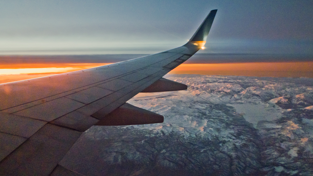
Look Up and Wow...
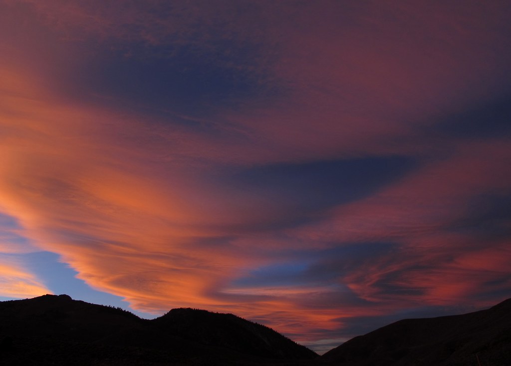
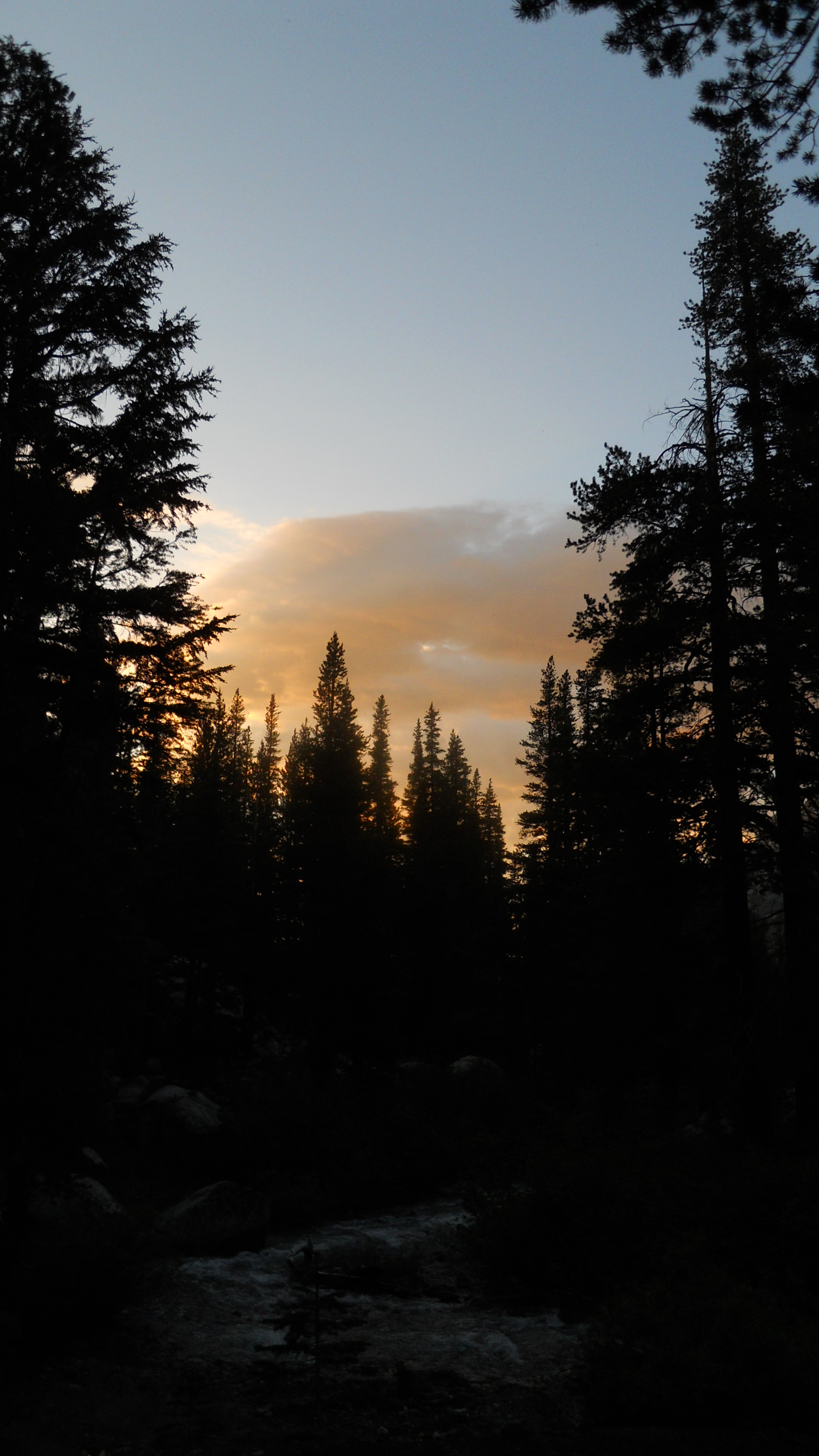
Soaring Sunrise
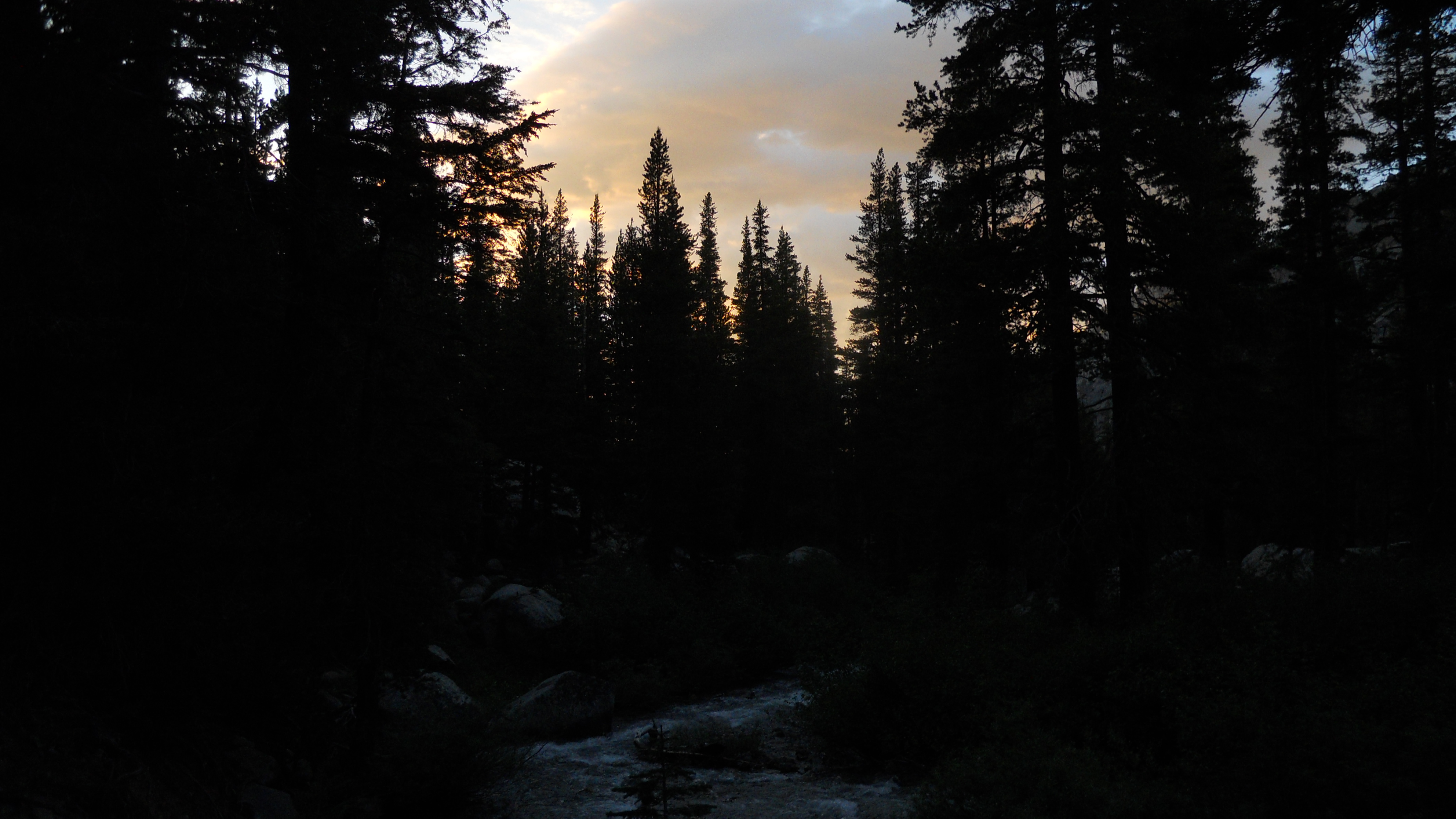
PCT-Echo-Tuolumne - 07-15-2010 - 201144
Smoke-Tinged Sunset
PCT-Echo-Tuolumne - 07-15-2010 - 201213

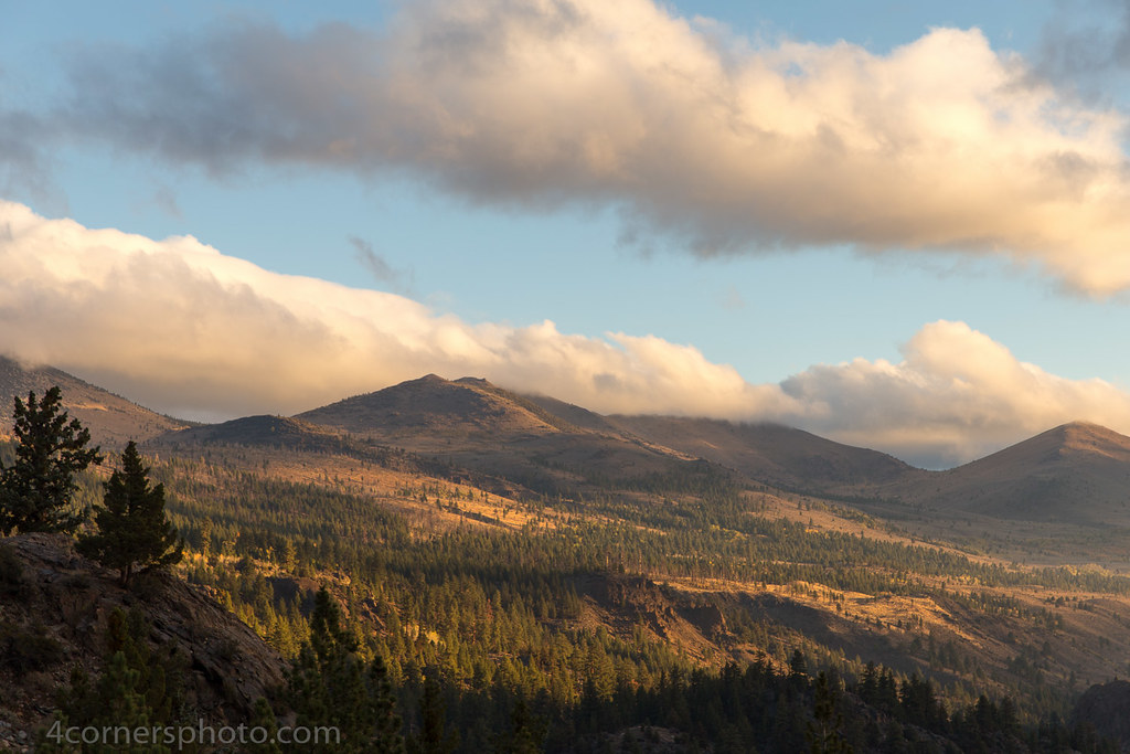
Sunrise from the Sonora Pass, Mono County, CA
Sunrise, Toiyabe National Forest, CA
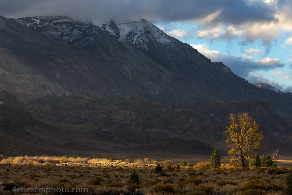
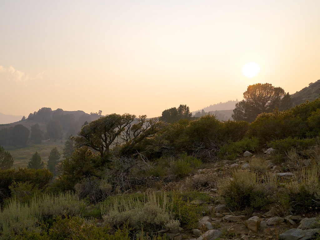
Morning Sunshine and Tree, Pickel Meadow, CA

The Stanislaus River by Fall
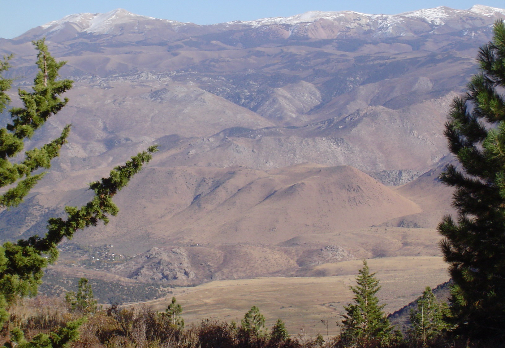
East View of Neighboring Mountain and Valley Telephotoed from Mountain Peak
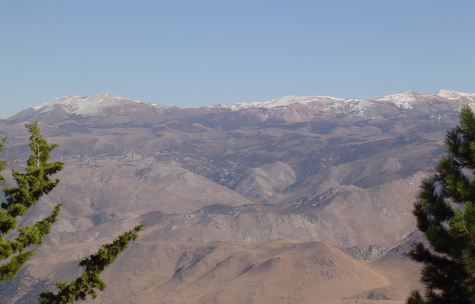
East View of Neighboring Range Telephotoed from Mountain Peak

United States Marine Corps Mountain Warfare Training Center - h
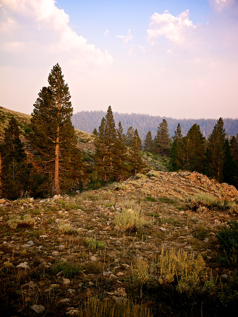
Another View From My Campsite

Centennial Bluff
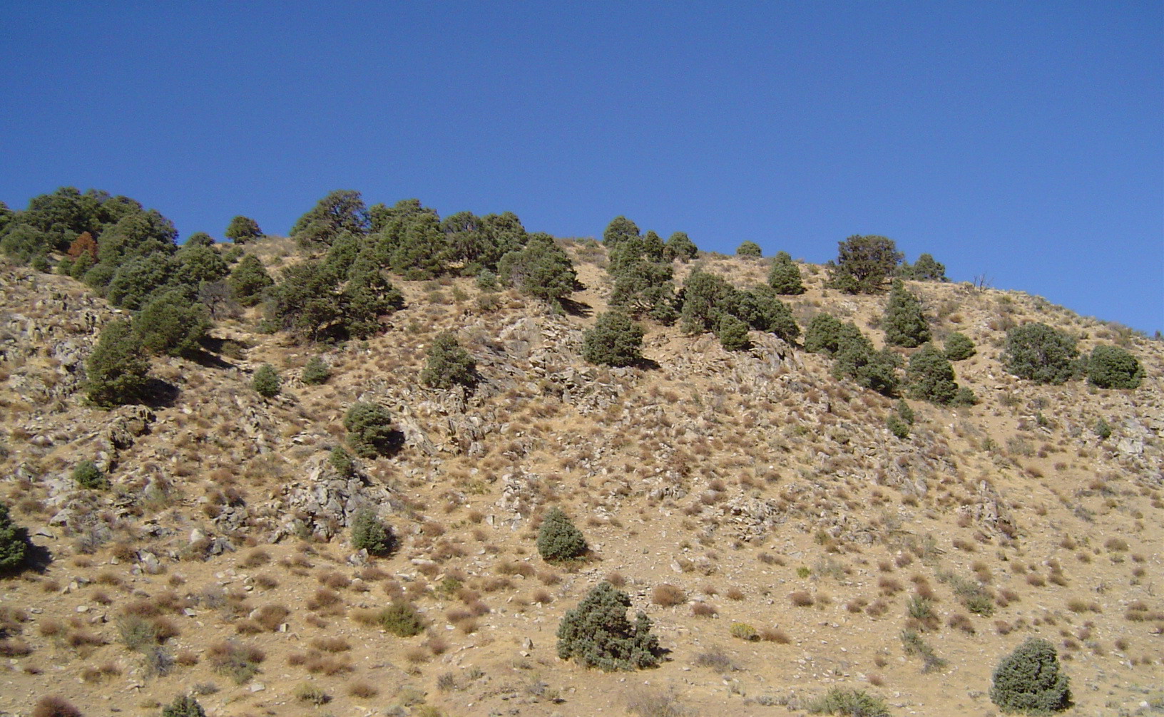
View West from the House
Nice View
Topaz Lake
Lake Tahoe
Crag & Meadow
East View of Neighboring Range from Mountain Peak
West View from the Mountain Peak
Topaz Lake
Lake Tahoe

South view from Disaster Peak
Nice view
First view of Disaster Peak

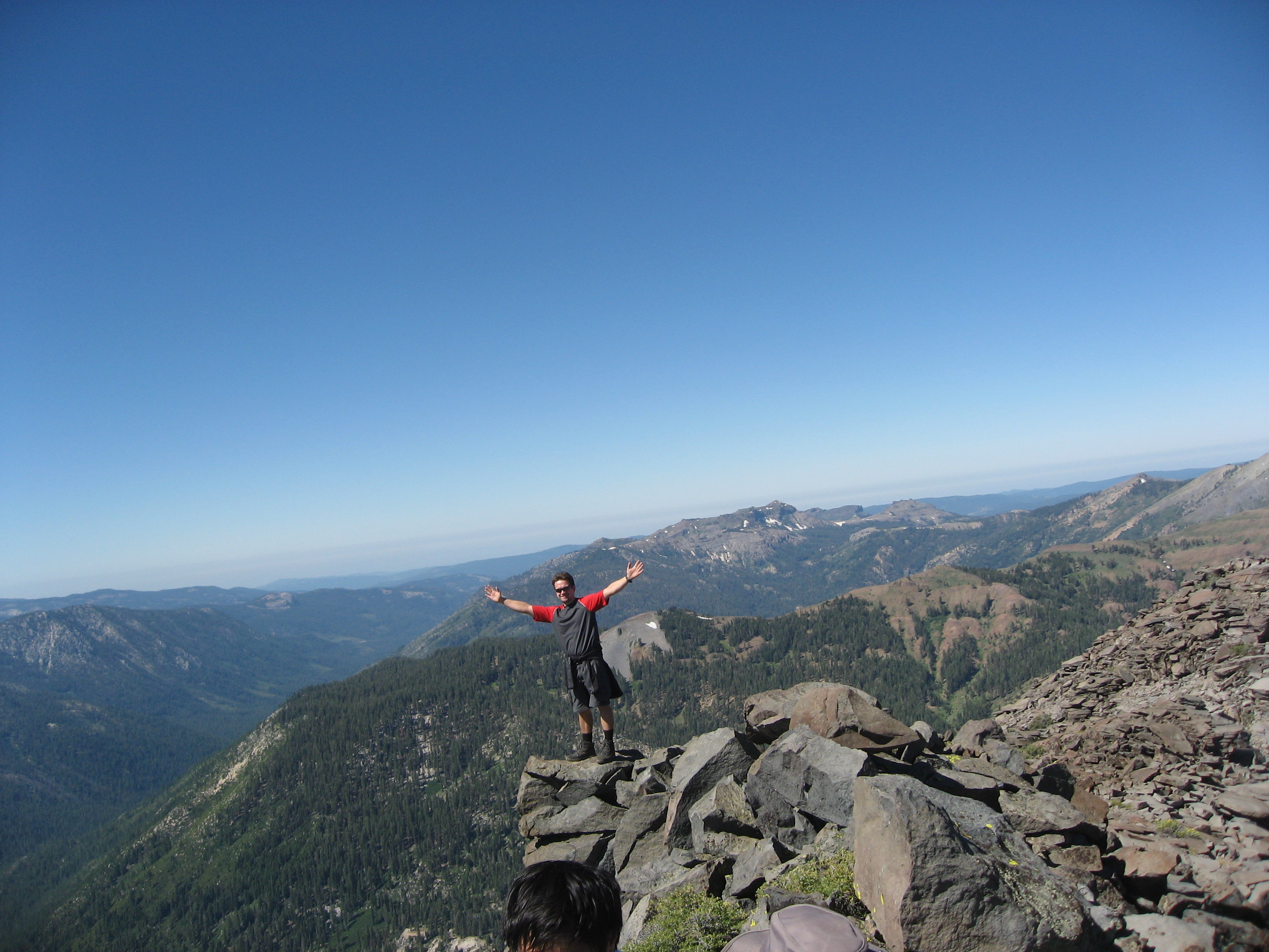
Panoramic view, Pacific Crest Trail from Sonora Pass
Antelope Peak, California, USA Karte
Suchen Sie einen anderen Ort
Nahe Plätze
Lost Cannon Peak, California, USA
Mineral Mountain, California, USA
Whitecliff Peak, California, USA
White Mountain, California, USA
Stanislaus Peak, California, USA
Sonora Pass, California, USA
Disaster Peak, California, USA
Sierra Nevada, Kalifornien, USA
Arnot Peak, California, USA
Topaz Lake, USA
Leavitt Lake, California, USA
Leavitt Peak, California, USA
Night Cap Peak, California, USA
Highland Peak, California, USA
Topaz Lake, NV, USA
Bald Peak, California, USA
Kennedy Peak, California, USA
Clark Fork Campground, California, Vereinigte Staaten
Molo Mountain, California, USA
Airola Peak, California, USA
Letzte Suche
- Red Dog Mine, AK, USA Sonnenaufgang Sonnenuntergang Zeiten
- Am Bahnhof, Am bhf, Borken, Germany Sonnenaufgang Sonnenuntergang Zeiten
- 4th St E, Sonoma, CA, USA Sonnenaufgang Sonnenuntergang Zeiten
- Oakland Ave, Williamsport, PA, USA Sonnenaufgang Sonnenuntergang Zeiten
- Via Roma, Pieranica CR, Italien Sonnenaufgang Sonnenuntergang Zeiten
- Glockenturm, Grad, Dubrovnik, Kroatien Sonnenaufgang Sonnenuntergang Zeiten
- Trelew, Chubut Province, Argentina Sonnenaufgang Sonnenuntergang Zeiten
- Hartfords Bluff Cir, Mt Pleasant, SC, USA Sonnenaufgang Sonnenuntergang Zeiten
- Kita-ku, Kumamoto, Präfektur Kumamoto, Japan Sonnenaufgang Sonnenuntergang Zeiten
- Pingtan Island, Pingtan County, Fuzhou, China Sonnenaufgang Sonnenuntergang Zeiten