| Timezone: | Mountain Standard Time |
|---|---|
| Current Time: | Sunday, November 15, 2026 1:52 PM |
| Longitude: | -106.2000234 |
| Latitude: | 38.2186112 |
| Sunrise Time Today: | 6:47:21 AM |
| Sunset Time Today: | 4:54:17 PM |
| Daylength Today: | 10h 6m 55s |
| Sunrise Time Tomorrow: | 6:48:27 AM |
| Sunset Time Tomorrow: | 4:53:34 PM |
| Daylength Tomorrow: | 10h 5m 6s |
: Show All Dates
| Date | Sunrise Time | Sunset Time | Daylength |
|---|---|---|---|
| Jan 1, 2026 | 7:22:35 AM | 4:55:34 PM | 9h 32m 59s |
| Feb 1, 2026 | 7:11:51 AM | 5:27:08 PM | 10h 15m 17s |
| Mar 1, 2026 | 6:39:38 AM | 5:57:59 PM | 11h 18m 21s |
| Apr 1, 2026 | 6:52:32 AM | 7:27:39 PM | 12h 35m 6s |
| May 1, 2026 | 6:10:37 AM | 7:55:47 PM | 13h 45m 10s |
| Jun 1, 2026 | 5:45:10 AM | 8:22:45 PM | 14h 37m 34s |
| Jul 1, 2026 | 5:45:57 AM | 8:33:17 PM | 14h 47m 20s |
| Aug 1, 2026 | 6:07:37 AM | 8:17:10 PM | 14h 9m 32s |
| Sep 1, 2026 | 6:34:59 AM | 7:38:18 PM | 13h 3m 19s |
| Oct 1, 2026 | 7:00:45 AM | 6:51:16 PM | 11h 50m 31s |
| Nov 1, 2026 | 7:30:59 AM | 6:08:18 PM | 10h 37m 18s |
| Nov 16, 2026 | 6:47:21 AM | 4:54:17 PM | 10h 6m 55s |
| Nov 17, 2026 | 6:48:27 AM | 4:53:34 PM | 10h 5m 6s |
| Dec 1, 2026 | 7:03:06 AM | 4:46:52 PM | 9h 43m 45s |
Sunrise & Sunset Photos
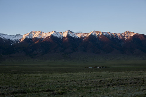
Ranch at sundown by Jeff Mitton
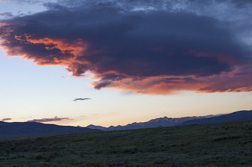
Sawatch Sundown by Jeff Mitton

Rainbow in the San Luis Valley by mouser-nerdbot

Marshall Pass Sunset by green.bean73

Rainbow in the San Luis Valley by mouser-nerdbot

WP_20140822_005 by falcon170ct
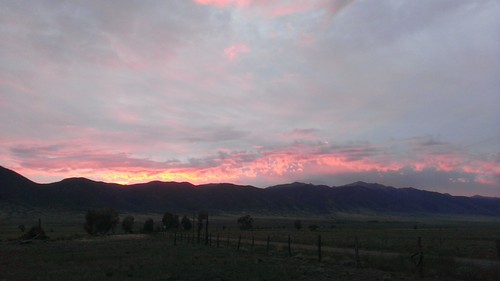
WP_20140822_003 by falcon170ct

Arriving at Larry and Tiffany's by falcon170ct

WP_20140822_006 by falcon170ct

WP_20140822_002 by falcon170ct

IMG_3120 by falcon170ct

IMG_3119 by falcon170ct

IMG_8566_7_8_9_HDR_PAINTERLY2 by David C. Miller

Sunset @ Sargent's Mesa by jmb_co

Sunset @ Sargent's Mesa by jmb_co

IMG_8498_500_501_HDR_PAINTERLY2 by David C. Miller

Sunset @ Sargent's Mesa by jmb_co

IMG_4354_5_6_HDR_PAINTERLY2 by David C. Miller

Sunrise @ Sargent's Mesa Camp by jmb_co

Sunrise @ Sargent's Mesa Camp by jmb_co

Sargent's Mesa Sunrise by jmb_co

Sargent's Mesa Sunrise by jmb_co