W Charles Ln, San Simon, AZ 美國West Charles Lane的日出日落時間表
Location: 美國 > 亞利桑那州 > 科奇斯縣 > AZ 美國 >
時區:
America/Phoenix
當地時間:
2024-05-03 06:16:48
經度:
-109.232354
緯度:
32.284242
今天日出時間:
05:27:36 AM
今天日落時間:
06:59:50 PM
今天日照時長:
13h 32m 14s
明天日出時間:
05:26:43 AM
明天日落時間:
07:00:33 PM
明天日照時長:
13h 33m 50s
顯示所有日期
| 日期 | 日出 | 日落 | 日照時長 |
|---|---|---|---|
| 2024年01月01日 | 07:18:13 AM | 05:23:19 PM | 10h 5m 6s |
| 2024年01月02日 | 07:18:24 AM | 05:24:04 PM | 10h 5m 40s |
| 2024年01月03日 | 07:18:33 AM | 05:24:50 PM | 10h 6m 17s |
| 2024年01月04日 | 07:18:40 AM | 05:25:37 PM | 10h 6m 57s |
| 2024年01月05日 | 07:18:46 AM | 05:26:24 PM | 10h 7m 38s |
| 2024年01月06日 | 07:18:50 AM | 05:27:13 PM | 10h 8m 23s |
| 2024年01月07日 | 07:18:52 AM | 05:28:02 PM | 10h 9m 10s |
| 2024年01月08日 | 07:18:53 AM | 05:28:52 PM | 10h 9m 59s |
| 2024年01月09日 | 07:18:51 AM | 05:29:42 PM | 10h 10m 51s |
| 2024年01月10日 | 07:18:48 AM | 05:30:34 PM | 10h 11m 46s |
| 2024年01月11日 | 07:18:43 AM | 05:31:26 PM | 10h 12m 43s |
| 2024年01月12日 | 07:18:36 AM | 05:32:18 PM | 10h 13m 42s |
| 2024年01月13日 | 07:18:28 AM | 05:33:11 PM | 10h 14m 43s |
| 2024年01月14日 | 07:18:18 AM | 05:34:05 PM | 10h 15m 47s |
| 2024年01月15日 | 07:18:06 AM | 05:34:58 PM | 10h 16m 52s |
| 2024年01月16日 | 07:17:52 AM | 05:35:53 PM | 10h 18m 1s |
| 2024年01月17日 | 07:17:36 AM | 05:36:47 PM | 10h 19m 11s |
| 2024年01月18日 | 07:17:19 AM | 05:37:42 PM | 10h 20m 23s |
| 2024年01月19日 | 07:17:00 AM | 05:38:38 PM | 10h 21m 38s |
| 2024年01月20日 | 07:16:39 AM | 05:39:33 PM | 10h 22m 54s |
| 2024年01月21日 | 07:16:17 AM | 05:40:29 PM | 10h 24m 12s |
| 2024年01月22日 | 07:15:53 AM | 05:41:24 PM | 10h 25m 31s |
| 2024年01月23日 | 07:15:27 AM | 05:42:20 PM | 10h 26m 53s |
| 2024年01月24日 | 07:15:00 AM | 05:43:16 PM | 10h 28m 16s |
| 2024年01月25日 | 07:14:30 AM | 05:44:12 PM | 10h 29m 42s |
| 2024年01月26日 | 07:14:00 AM | 05:45:09 PM | 10h 31m 9s |
| 2024年01月27日 | 07:13:27 AM | 05:46:05 PM | 10h 32m 38s |
| 2024年01月28日 | 07:12:54 AM | 05:47:01 PM | 10h 34m 7s |
| 2024年01月29日 | 07:12:18 AM | 05:47:57 PM | 10h 35m 39s |
| 2024年01月30日 | 07:11:41 AM | 05:48:53 PM | 10h 37m 12s |
| 2024年01月31日 | 07:11:03 AM | 05:49:48 PM | 10h 38m 45s |
| 2024年02月01日 | 07:10:23 AM | 05:50:44 PM | 10h 40m 21s |
| 2024年02月02日 | 07:09:41 AM | 05:51:39 PM | 10h 41m 58s |
| 2024年02月03日 | 07:08:58 AM | 05:52:35 PM | 10h 43m 37s |
| 2024年02月04日 | 07:08:14 AM | 05:53:30 PM | 10h 45m 16s |
| 2024年02月05日 | 07:07:28 AM | 05:54:24 PM | 10h 46m 56s |
| 2024年02月06日 | 07:06:41 AM | 05:55:19 PM | 10h 48m 38s |
| 2024年02月07日 | 07:05:53 AM | 05:56:13 PM | 10h 50m 20s |
| 2024年02月08日 | 07:05:03 AM | 05:57:07 PM | 10h 52m 4s |
| 2024年02月09日 | 07:04:12 AM | 05:58:01 PM | 10h 53m 49s |
| 2024年02月10日 | 07:03:20 AM | 05:58:55 PM | 10h 55m 35s |
| 2024年02月11日 | 07:02:26 AM | 05:59:48 PM | 10h 57m 22s |
| 2024年02月12日 | 07:01:32 AM | 06:00:41 PM | 10h 59m 9s |
| 2024年02月13日 | 07:00:36 AM | 06:01:33 PM | 11h 0m 57s |
| 2024年02月14日 | 06:59:39 AM | 06:02:25 PM | 11h 2m 46s |
| 2024年02月15日 | 06:58:41 AM | 06:03:17 PM | 11h 4m 36s |
| 2024年02月16日 | 06:57:42 AM | 06:04:09 PM | 11h 6m 27s |
| 2024年02月17日 | 06:56:41 AM | 06:05:00 PM | 11h 8m 19s |
| 2024年02月18日 | 06:55:40 AM | 06:05:50 PM | 11h 10m 10s |
| 2024年02月19日 | 06:54:38 AM | 06:06:41 PM | 11h 12m 3s |
| 2024年02月20日 | 06:53:35 AM | 06:07:31 PM | 11h 13m 56s |
| 2024年02月21日 | 06:52:31 AM | 06:08:20 PM | 11h 15m 49s |
| 2024年02月22日 | 06:51:26 AM | 06:09:10 PM | 11h 17m 44s |
| 2024年02月23日 | 06:50:20 AM | 06:09:59 PM | 11h 19m 39s |
| 2024年02月24日 | 06:49:14 AM | 06:10:47 PM | 11h 21m 33s |
| 2024年02月25日 | 06:48:06 AM | 06:11:35 PM | 11h 23m 29s |
| 2024年02月26日 | 06:46:58 AM | 06:12:23 PM | 11h 25m 25s |
| 2024年02月27日 | 06:45:49 AM | 06:13:11 PM | 11h 27m 22s |
| 2024年02月28日 | 06:44:39 AM | 06:13:58 PM | 11h 29m 19s |
| 2024年02月29日 | 06:43:29 AM | 06:14:45 PM | 11h 31m 16s |
| 2024年03月01日 | 06:42:18 AM | 06:15:31 PM | 11h 33m 13s |
| 2024年03月02日 | 06:41:06 AM | 06:16:18 PM | 11h 35m 12s |
| 2024年03月03日 | 06:39:54 AM | 06:17:03 PM | 11h 37m 9s |
| 2024年03月04日 | 06:38:41 AM | 06:17:49 PM | 11h 39m 8s |
| 2024年03月05日 | 06:37:28 AM | 06:18:34 PM | 11h 41m 6s |
| 2024年03月06日 | 06:36:14 AM | 06:19:19 PM | 11h 43m 5s |
| 2024年03月07日 | 06:35:00 AM | 06:20:04 PM | 11h 45m 4s |
| 2024年03月08日 | 06:33:45 AM | 06:20:48 PM | 11h 47m 3s |
| 2024年03月09日 | 06:32:30 AM | 06:21:33 PM | 11h 49m 3s |
| 2024年03月10日 | 06:31:15 AM | 06:22:17 PM | 11h 51m 2s |
| 2024年03月11日 | 06:29:59 AM | 06:23:00 PM | 11h 53m 1s |
| 2024年03月12日 | 06:28:42 AM | 06:23:44 PM | 11h 55m 2s |
| 2024年03月13日 | 06:27:26 AM | 06:24:27 PM | 11h 57m 1s |
| 2024年03月14日 | 06:26:09 AM | 06:25:10 PM | 11h 59m 1s |
| 2024年03月15日 | 06:24:52 AM | 06:25:53 PM | 12h 1m 1s |
| 2024年03月16日 | 06:23:35 AM | 06:26:35 PM | 12h 3m 0s |
| 2024年03月17日 | 06:22:18 AM | 06:27:18 PM | 12h 5m 0s |
| 2024年03月18日 | 06:21:00 AM | 06:28:00 PM | 12h 7m 0s |
| 2024年03月19日 | 06:19:42 AM | 06:28:42 PM | 12h 9m 0s |
| 2024年03月20日 | 06:18:25 AM | 06:29:24 PM | 12h 10m 59s |
| 2024年03月21日 | 06:17:07 AM | 06:30:06 PM | 12h 12m 59s |
| 2024年03月22日 | 06:15:49 AM | 06:30:48 PM | 12h 14m 59s |
| 2024年03月23日 | 06:14:31 AM | 06:31:30 PM | 12h 16m 59s |
| 2024年03月24日 | 06:13:13 AM | 06:32:11 PM | 12h 18m 58s |
| 2024年03月25日 | 06:11:56 AM | 06:32:53 PM | 12h 20m 57s |
| 2024年03月26日 | 06:10:38 AM | 06:33:34 PM | 12h 22m 56s |
| 2024年03月27日 | 06:09:20 AM | 06:34:16 PM | 12h 24m 56s |
| 2024年03月28日 | 06:08:03 AM | 06:34:57 PM | 12h 26m 54s |
| 2024年03月29日 | 06:06:46 AM | 06:35:39 PM | 12h 28m 53s |
| 2024年03月30日 | 06:05:28 AM | 06:36:20 PM | 12h 30m 52s |
| 2024年03月31日 | 06:04:12 AM | 06:37:01 PM | 12h 32m 49s |
| 2024年04月01日 | 06:02:55 AM | 06:37:43 PM | 12h 34m 48s |
| 2024年04月02日 | 06:01:39 AM | 06:38:24 PM | 12h 36m 45s |
| 2024年04月03日 | 06:00:23 AM | 06:39:05 PM | 12h 38m 42s |
| 2024年04月04日 | 05:59:07 AM | 06:39:47 PM | 12h 40m 40s |
| 2024年04月05日 | 05:57:52 AM | 06:40:28 PM | 12h 42m 36s |
| 2024年04月06日 | 05:56:37 AM | 06:41:09 PM | 12h 44m 32s |
| 2024年04月07日 | 05:55:22 AM | 06:41:51 PM | 12h 46m 29s |
| 2024年04月08日 | 05:54:08 AM | 06:42:33 PM | 12h 48m 25s |
| 2024年04月09日 | 05:52:55 AM | 06:43:14 PM | 12h 50m 19s |
| 2024年04月10日 | 05:51:41 AM | 06:43:56 PM | 12h 52m 15s |
| 2024年04月11日 | 05:50:29 AM | 06:44:38 PM | 12h 54m 9s |
| 2024年04月12日 | 05:49:17 AM | 06:45:19 PM | 12h 56m 2s |
| 2024年04月13日 | 05:48:05 AM | 06:46:01 PM | 12h 57m 56s |
| 2024年04月14日 | 05:46:55 AM | 06:46:43 PM | 12h 59m 48s |
| 2024年04月15日 | 05:45:45 AM | 06:47:25 PM | 13h 1m 40s |
| 2024年04月16日 | 05:44:35 AM | 06:48:08 PM | 13h 3m 33s |
| 2024年04月17日 | 05:43:26 AM | 06:48:50 PM | 13h 5m 24s |
| 2024年04月18日 | 05:42:18 AM | 06:49:32 PM | 13h 7m 14s |
| 2024年04月19日 | 05:41:11 AM | 06:50:15 PM | 13h 9m 4s |
| 2024年04月20日 | 05:40:04 AM | 06:50:57 PM | 13h 10m 53s |
| 2024年04月21日 | 05:38:59 AM | 06:51:40 PM | 13h 12m 41s |
| 2024年04月22日 | 05:37:54 AM | 06:52:23 PM | 13h 14m 29s |
| 2024年04月23日 | 05:36:50 AM | 06:53:06 PM | 13h 16m 16s |
| 2024年04月24日 | 05:35:47 AM | 06:53:48 PM | 13h 18m 1s |
| 2024年04月25日 | 05:34:44 AM | 06:54:31 PM | 13h 19m 47s |
| 2024年04月26日 | 05:33:43 AM | 06:55:14 PM | 13h 21m 31s |
| 2024年04月27日 | 05:32:43 AM | 06:55:57 PM | 13h 23m 14s |
| 2024年04月28日 | 05:31:43 AM | 06:56:41 PM | 13h 24m 58s |
| 2024年04月29日 | 05:30:45 AM | 06:57:24 PM | 13h 26m 39s |
| 2024年04月30日 | 05:29:48 AM | 06:58:07 PM | 13h 28m 19s |
| 2024年05月01日 | 05:28:52 AM | 06:58:50 PM | 13h 29m 58s |
| 2024年05月02日 | 05:27:57 AM | 06:59:33 PM | 13h 31m 36s |
| 2024年05月03日 | 05:27:02 AM | 07:00:17 PM | 13h 33m 15s |
| 2024年05月04日 | 05:26:10 AM | 07:01:00 PM | 13h 34m 50s |
| 2024年05月05日 | 05:25:18 AM | 07:01:43 PM | 13h 36m 25s |
| 2024年05月06日 | 05:24:27 AM | 07:02:26 PM | 13h 37m 59s |
| 2024年05月07日 | 05:23:38 AM | 07:03:09 PM | 13h 39m 31s |
| 2024年05月08日 | 05:22:50 AM | 07:03:52 PM | 13h 41m 2s |
| 2024年05月09日 | 05:22:03 AM | 07:04:35 PM | 13h 42m 32s |
| 2024年05月10日 | 05:21:18 AM | 07:05:18 PM | 13h 44m 0s |
| 2024年05月11日 | 05:20:33 AM | 07:06:00 PM | 13h 45m 27s |
| 2024年05月12日 | 05:19:50 AM | 07:06:43 PM | 13h 46m 53s |
| 2024年05月13日 | 05:19:09 AM | 07:07:25 PM | 13h 48m 16s |
| 2024年05月14日 | 05:18:28 AM | 07:08:07 PM | 13h 49m 39s |
| 2024年05月15日 | 05:17:49 AM | 07:08:49 PM | 13h 51m 0s |
| 2024年05月16日 | 05:17:12 AM | 07:09:30 PM | 13h 52m 18s |
| 2024年05月17日 | 05:16:36 AM | 07:10:12 PM | 13h 53m 36s |
| 2024年05月18日 | 05:16:01 AM | 07:10:53 PM | 13h 54m 52s |
| 2024年05月19日 | 05:15:28 AM | 07:11:33 PM | 13h 56m 5s |
| 2024年05月20日 | 05:14:56 AM | 07:12:13 PM | 13h 57m 17s |
| 2024年05月21日 | 05:14:25 AM | 07:12:53 PM | 13h 58m 28s |
| 2024年05月22日 | 05:13:56 AM | 07:13:32 PM | 13h 59m 36s |
| 2024年05月23日 | 05:13:29 AM | 07:14:11 PM | 14h 0m 42s |
| 2024年05月24日 | 05:13:03 AM | 07:14:50 PM | 14h 1m 47s |
| 2024年05月25日 | 05:12:38 AM | 07:15:28 PM | 14h 2m 50s |
| 2024年05月26日 | 05:12:15 AM | 07:16:05 PM | 14h 3m 50s |
| 2024年05月27日 | 05:11:54 AM | 07:16:42 PM | 14h 4m 48s |
| 2024年05月28日 | 05:11:34 AM | 07:17:18 PM | 14h 5m 44s |
| 2024年05月29日 | 05:11:15 AM | 07:17:53 PM | 14h 6m 38s |
| 2024年05月30日 | 05:10:58 AM | 07:18:28 PM | 14h 7m 30s |
| 2024年05月31日 | 05:10:43 AM | 07:19:02 PM | 14h 8m 19s |
| 2024年06月01日 | 05:10:29 AM | 07:19:35 PM | 14h 9m 6s |
| 2024年06月02日 | 05:10:17 AM | 07:20:08 PM | 14h 9m 51s |
| 2024年06月03日 | 05:10:06 AM | 07:20:39 PM | 14h 10m 33s |
| 2024年06月04日 | 05:09:56 AM | 07:21:10 PM | 14h 11m 14s |
| 2024年06月05日 | 05:09:49 AM | 07:21:40 PM | 14h 11m 51s |
| 2024年06月06日 | 05:09:42 AM | 07:22:09 PM | 14h 12m 27s |
| 2024年06月07日 | 05:09:37 AM | 07:22:37 PM | 14h 13m 0s |
| 2024年06月08日 | 05:09:34 AM | 07:23:04 PM | 14h 13m 30s |
| 2024年06月09日 | 05:09:32 AM | 07:23:30 PM | 14h 13m 58s |
| 2024年06月10日 | 05:09:32 AM | 07:23:55 PM | 14h 14m 23s |
| 2024年06月11日 | 05:09:33 AM | 07:24:19 PM | 14h 14m 46s |
| 2024年06月12日 | 05:09:35 AM | 07:24:42 PM | 14h 15m 7s |
| 2024年06月13日 | 05:09:39 AM | 07:25:03 PM | 14h 15m 24s |
| 2024年06月14日 | 05:09:45 AM | 07:25:23 PM | 14h 15m 38s |
| 2024年06月15日 | 05:09:51 AM | 07:25:43 PM | 14h 15m 52s |
| 2024年06月16日 | 05:09:59 AM | 07:26:01 PM | 14h 16m 2s |
| 2024年06月17日 | 05:10:09 AM | 07:26:17 PM | 14h 16m 8s |
| 2024年06月18日 | 05:10:20 AM | 07:26:33 PM | 14h 16m 13s |
| 2024年06月19日 | 05:10:32 AM | 07:26:47 PM | 14h 16m 15s |
| 2024年06月20日 | 05:10:45 AM | 07:27:00 PM | 14h 16m 15s |
| 2024年06月21日 | 05:11:00 AM | 07:27:11 PM | 14h 16m 11s |
| 2024年06月22日 | 05:11:16 AM | 07:27:21 PM | 14h 16m 5s |
| 2024年06月23日 | 05:11:33 AM | 07:27:29 PM | 14h 15m 56s |
| 2024年06月24日 | 05:11:51 AM | 07:27:37 PM | 14h 15m 46s |
| 2024年06月25日 | 05:12:10 AM | 07:27:42 PM | 14h 15m 32s |
| 2024年06月26日 | 05:12:31 AM | 07:27:47 PM | 14h 15m 16s |
| 2024年06月27日 | 05:12:52 AM | 07:27:49 PM | 14h 14m 57s |
| 2024年06月28日 | 05:13:15 AM | 07:27:51 PM | 14h 14m 36s |
| 2024年06月29日 | 05:13:39 AM | 07:27:51 PM | 14h 14m 12s |
| 2024年06月30日 | 05:14:04 AM | 07:27:49 PM | 14h 13m 45s |
| 2024年07月01日 | 05:14:29 AM | 07:27:46 PM | 14h 13m 17s |
| 2024年07月02日 | 05:14:56 AM | 07:27:41 PM | 14h 12m 45s |
| 2024年07月03日 | 05:15:23 AM | 07:27:35 PM | 14h 12m 12s |
| 2024年07月04日 | 05:15:52 AM | 07:27:27 PM | 14h 11m 35s |
| 2024年07月05日 | 05:16:21 AM | 07:27:17 PM | 14h 10m 56s |
| 2024年07月06日 | 05:16:51 AM | 07:27:06 PM | 14h 10m 15s |
| 2024年07月07日 | 05:17:22 AM | 07:26:54 PM | 14h 9m 32s |
| 2024年07月08日 | 05:17:54 AM | 07:26:40 PM | 14h 8m 46s |
| 2024年07月09日 | 05:18:26 AM | 07:26:24 PM | 14h 7m 58s |
| 2024年07月10日 | 05:18:59 AM | 07:26:07 PM | 14h 7m 8s |
| 2024年07月11日 | 05:19:32 AM | 07:25:48 PM | 14h 6m 16s |
| 2024年07月12日 | 05:20:07 AM | 07:25:28 PM | 14h 5m 21s |
| 2024年07月13日 | 05:20:41 AM | 07:25:06 PM | 14h 4m 25s |
| 2024年07月14日 | 05:21:17 AM | 07:24:43 PM | 14h 3m 26s |
| 2024年07月15日 | 05:21:52 AM | 07:24:18 PM | 14h 2m 26s |
| 2024年07月16日 | 05:22:29 AM | 07:23:51 PM | 14h 1m 22s |
| 2024年07月17日 | 05:23:05 AM | 07:23:23 PM | 14h 0m 18s |
| 2024年07月18日 | 05:23:42 AM | 07:22:54 PM | 13h 59m 12s |
| 2024年07月19日 | 05:24:20 AM | 07:22:23 PM | 13h 58m 3s |
| 2024年07月20日 | 05:24:58 AM | 07:21:50 PM | 13h 56m 52s |
| 2024年07月21日 | 05:25:36 AM | 07:21:16 PM | 13h 55m 40s |
| 2024年07月22日 | 05:26:15 AM | 07:20:41 PM | 13h 54m 26s |
| 2024年07月23日 | 05:26:53 AM | 07:20:04 PM | 13h 53m 11s |
| 2024年07月24日 | 05:27:32 AM | 07:19:26 PM | 13h 51m 54s |
| 2024年07月25日 | 05:28:12 AM | 07:18:46 PM | 13h 50m 34s |
| 2024年07月26日 | 05:28:51 AM | 07:18:05 PM | 13h 49m 14s |
| 2024年07月27日 | 05:29:31 AM | 07:17:22 PM | 13h 47m 51s |
| 2024年07月28日 | 05:30:10 AM | 07:16:38 PM | 13h 46m 28s |
| 2024年07月29日 | 05:30:50 AM | 07:15:53 PM | 13h 45m 3s |
| 2024年07月30日 | 05:31:30 AM | 07:15:07 PM | 13h 43m 37s |
| 2024年07月31日 | 05:32:10 AM | 07:14:19 PM | 13h 42m 9s |
| 2024年08月01日 | 05:32:50 AM | 07:13:30 PM | 13h 40m 40s |
| 2024年08月02日 | 05:33:30 AM | 07:12:40 PM | 13h 39m 10s |
| 2024年08月03日 | 05:34:10 AM | 07:11:48 PM | 13h 37m 38s |
| 2024年08月04日 | 05:34:51 AM | 07:10:55 PM | 13h 36m 4s |
| 2024年08月05日 | 05:35:31 AM | 07:10:01 PM | 13h 34m 30s |
| 2024年08月06日 | 05:36:11 AM | 07:09:06 PM | 13h 32m 55s |
| 2024年08月07日 | 05:36:51 AM | 07:08:10 PM | 13h 31m 19s |
| 2024年08月08日 | 05:37:31 AM | 07:07:12 PM | 13h 29m 41s |
| 2024年08月09日 | 05:38:11 AM | 07:06:14 PM | 13h 28m 3s |
| 2024年08月10日 | 05:38:51 AM | 07:05:14 PM | 13h 26m 23s |
| 2024年08月11日 | 05:39:31 AM | 07:04:14 PM | 13h 24m 43s |
| 2024年08月12日 | 05:40:11 AM | 07:03:12 PM | 13h 23m 1s |
| 2024年08月13日 | 05:40:50 AM | 07:02:10 PM | 13h 21m 20s |
| 2024年08月14日 | 05:41:30 AM | 07:01:06 PM | 13h 19m 36s |
| 2024年08月15日 | 05:42:09 AM | 07:00:02 PM | 13h 17m 53s |
| 2024年08月16日 | 05:42:49 AM | 06:58:56 PM | 13h 16m 7s |
| 2024年08月17日 | 05:43:28 AM | 06:57:50 PM | 13h 14m 22s |
| 2024年08月18日 | 05:44:07 AM | 06:56:43 PM | 13h 12m 36s |
| 2024年08月19日 | 05:44:46 AM | 06:55:35 PM | 13h 10m 49s |
| 2024年08月20日 | 05:45:25 AM | 06:54:26 PM | 13h 9m 1s |
| 2024年08月21日 | 05:46:04 AM | 06:53:16 PM | 13h 7m 12s |
| 2024年08月22日 | 05:46:42 AM | 06:52:06 PM | 13h 5m 24s |
| 2024年08月23日 | 05:47:21 AM | 06:50:55 PM | 13h 3m 34s |
| 2024年08月24日 | 05:47:59 AM | 06:49:43 PM | 13h 1m 44s |
| 2024年08月25日 | 05:48:38 AM | 06:48:31 PM | 12h 59m 53s |
| 2024年08月26日 | 05:49:16 AM | 06:47:18 PM | 12h 58m 2s |
| 2024年08月27日 | 05:49:54 AM | 06:46:04 PM | 12h 56m 10s |
| 2024年08月28日 | 05:50:32 AM | 06:44:50 PM | 12h 54m 18s |
| 2024年08月29日 | 05:51:09 AM | 06:43:35 PM | 12h 52m 26s |
| 2024年08月30日 | 05:51:47 AM | 06:42:20 PM | 12h 50m 33s |
| 2024年08月31日 | 05:52:25 AM | 06:41:04 PM | 12h 48m 39s |
| 2024年09月01日 | 05:53:02 AM | 06:39:47 PM | 12h 46m 45s |
| 2024年09月02日 | 05:53:40 AM | 06:38:31 PM | 12h 44m 51s |
| 2024年09月03日 | 05:54:17 AM | 06:37:13 PM | 12h 42m 56s |
| 2024年09月04日 | 05:54:54 AM | 06:35:56 PM | 12h 41m 2s |
| 2024年09月05日 | 05:55:32 AM | 06:34:38 PM | 12h 39m 6s |
| 2024年09月06日 | 05:56:09 AM | 06:33:19 PM | 12h 37m 10s |
| 2024年09月07日 | 05:56:46 AM | 06:32:01 PM | 12h 35m 15s |
| 2024年09月08日 | 05:57:23 AM | 06:30:42 PM | 12h 33m 19s |
| 2024年09月09日 | 05:58:00 AM | 06:29:23 PM | 12h 31m 23s |
| 2024年09月10日 | 05:58:38 AM | 06:28:03 PM | 12h 29m 25s |
| 2024年09月11日 | 05:59:15 AM | 06:26:44 PM | 12h 27m 29s |
| 2024年09月12日 | 05:59:52 AM | 06:25:24 PM | 12h 25m 32s |
| 2024年09月13日 | 06:00:29 AM | 06:24:04 PM | 12h 23m 35s |
| 2024年09月14日 | 06:01:06 AM | 06:22:44 PM | 12h 21m 38s |
| 2024年09月15日 | 06:01:44 AM | 06:21:24 PM | 12h 19m 40s |
| 2024年09月16日 | 06:02:21 AM | 06:20:03 PM | 12h 17m 42s |
| 2024年09月17日 | 06:02:58 AM | 06:18:43 PM | 12h 15m 45s |
| 2024年09月18日 | 06:03:36 AM | 06:17:23 PM | 12h 13m 47s |
| 2024年09月19日 | 06:04:13 AM | 06:16:03 PM | 12h 11m 50s |
| 2024年09月20日 | 06:04:51 AM | 06:14:42 PM | 12h 9m 51s |
| 2024年09月21日 | 06:05:29 AM | 06:13:22 PM | 12h 7m 53s |
| 2024年09月22日 | 06:06:07 AM | 06:12:02 PM | 12h 5m 55s |
| 2024年09月23日 | 06:06:45 AM | 06:10:42 PM | 12h 3m 57s |
| 2024年09月24日 | 06:07:23 AM | 06:09:23 PM | 12h 2m 0s |
| 2024年09月25日 | 06:08:02 AM | 06:08:03 PM | 12h 0m 1s |
| 2024年09月26日 | 06:08:41 AM | 06:06:44 PM | 11h 58m 3s |
| 2024年09月27日 | 06:09:19 AM | 06:05:25 PM | 11h 56m 6s |
| 2024年09月28日 | 06:09:58 AM | 06:04:06 PM | 11h 54m 8s |
| 2024年09月29日 | 06:10:38 AM | 06:02:47 PM | 11h 52m 9s |
| 2024年09月30日 | 06:11:17 AM | 06:01:29 PM | 11h 50m 12s |
| 2024年10月01日 | 06:11:57 AM | 06:00:11 PM | 11h 48m 14s |
| 2024年10月02日 | 06:12:37 AM | 05:58:54 PM | 11h 46m 17s |
| 2024年10月03日 | 06:13:17 AM | 05:57:37 PM | 11h 44m 20s |
| 2024年10月04日 | 06:13:58 AM | 05:56:20 PM | 11h 42m 22s |
| 2024年10月05日 | 06:14:39 AM | 05:55:04 PM | 11h 40m 25s |
| 2024年10月06日 | 06:15:20 AM | 05:53:49 PM | 11h 38m 29s |
| 2024年10月07日 | 06:16:02 AM | 05:52:34 PM | 11h 36m 32s |
| 2024年10月08日 | 06:16:43 AM | 05:51:19 PM | 11h 34m 36s |
| 2024年10月09日 | 06:17:26 AM | 05:50:05 PM | 11h 32m 39s |
| 2024年10月10日 | 06:18:08 AM | 05:48:52 PM | 11h 30m 44s |
| 2024年10月11日 | 06:18:51 AM | 05:47:40 PM | 11h 28m 49s |
| 2024年10月12日 | 06:19:34 AM | 05:46:28 PM | 11h 26m 54s |
| 2024年10月13日 | 06:20:18 AM | 05:45:17 PM | 11h 24m 59s |
| 2024年10月14日 | 06:21:02 AM | 05:44:06 PM | 11h 23m 4s |
| 2024年10月15日 | 06:21:46 AM | 05:42:57 PM | 11h 21m 11s |
| 2024年10月16日 | 06:22:31 AM | 05:41:48 PM | 11h 19m 17s |
| 2024年10月17日 | 06:23:16 AM | 05:40:40 PM | 11h 17m 24s |
| 2024年10月18日 | 06:24:01 AM | 05:39:33 PM | 11h 15m 32s |
| 2024年10月19日 | 06:24:47 AM | 05:38:26 PM | 11h 13m 39s |
| 2024年10月20日 | 06:25:33 AM | 05:37:21 PM | 11h 11m 48s |
| 2024年10月21日 | 06:26:20 AM | 05:36:17 PM | 11h 9m 57s |
| 2024年10月22日 | 06:27:07 AM | 05:35:13 PM | 11h 8m 6s |
| 2024年10月23日 | 06:27:54 AM | 05:34:11 PM | 11h 6m 17s |
| 2024年10月24日 | 06:28:42 AM | 05:33:09 PM | 11h 4m 27s |
| 2024年10月25日 | 06:29:30 AM | 05:32:09 PM | 11h 2m 39s |
| 2024年10月26日 | 06:30:19 AM | 05:31:10 PM | 11h 0m 51s |
| 2024年10月27日 | 06:31:08 AM | 05:30:12 PM | 10h 59m 4s |
| 2024年10月28日 | 06:31:57 AM | 05:29:15 PM | 10h 57m 18s |
| 2024年10月29日 | 06:32:46 AM | 05:28:20 PM | 10h 55m 34s |
| 2024年10月30日 | 06:33:36 AM | 05:27:25 PM | 10h 53m 49s |
| 2024年10月31日 | 06:34:27 AM | 05:26:32 PM | 10h 52m 5s |
| 2024年11月01日 | 06:35:17 AM | 05:25:40 PM | 10h 50m 23s |
| 2024年11月02日 | 06:36:08 AM | 05:24:49 PM | 10h 48m 41s |
| 2024年11月03日 | 06:37:00 AM | 05:24:00 PM | 10h 47m 0s |
| 2024年11月04日 | 06:37:51 AM | 05:23:12 PM | 10h 45m 21s |
| 2024年11月05日 | 06:38:43 AM | 05:22:26 PM | 10h 43m 43s |
| 2024年11月06日 | 06:39:35 AM | 05:21:41 PM | 10h 42m 6s |
| 2024年11月07日 | 06:40:28 AM | 05:20:57 PM | 10h 40m 29s |
| 2024年11月08日 | 06:41:20 AM | 05:20:15 PM | 10h 38m 55s |
| 2024年11月09日 | 06:42:13 AM | 05:19:34 PM | 10h 37m 21s |
| 2024年11月10日 | 06:43:06 AM | 05:18:55 PM | 10h 35m 49s |
| 2024年11月11日 | 06:43:59 AM | 05:18:18 PM | 10h 34m 19s |
| 2024年11月12日 | 06:44:52 AM | 05:17:42 PM | 10h 32m 50s |
| 2024年11月13日 | 06:45:46 AM | 05:17:07 PM | 10h 31m 21s |
| 2024年11月14日 | 06:46:39 AM | 05:16:34 PM | 10h 29m 55s |
| 2024年11月15日 | 06:47:33 AM | 05:16:03 PM | 10h 28m 30s |
| 2024年11月16日 | 06:48:26 AM | 05:15:33 PM | 10h 27m 7s |
| 2024年11月17日 | 06:49:20 AM | 05:15:06 PM | 10h 25m 46s |
| 2024年11月18日 | 06:50:13 AM | 05:14:39 PM | 10h 24m 26s |
| 2024年11月19日 | 06:51:06 AM | 05:14:15 PM | 10h 23m 9s |
| 2024年11月20日 | 06:52:00 AM | 05:13:52 PM | 10h 21m 52s |
| 2024年11月21日 | 06:52:53 AM | 05:13:31 PM | 10h 20m 38s |
| 2024年11月22日 | 06:53:45 AM | 05:13:12 PM | 10h 19m 27s |
| 2024年11月23日 | 06:54:38 AM | 05:12:55 PM | 10h 18m 17s |
| 2024年11月24日 | 06:55:31 AM | 05:12:39 PM | 10h 17m 8s |
| 2024年11月25日 | 06:56:23 AM | 05:12:25 PM | 10h 16m 2s |
| 2024年11月26日 | 06:57:14 AM | 05:12:13 PM | 10h 14m 59s |
| 2024年11月27日 | 06:58:06 AM | 05:12:03 PM | 10h 13m 57s |
| 2024年11月28日 | 06:58:57 AM | 05:11:54 PM | 10h 12m 57s |
| 2024年11月29日 | 06:59:47 AM | 05:11:47 PM | 10h 12m 0s |
| 2024年11月30日 | 07:00:37 AM | 05:11:43 PM | 10h 11m 6s |
| 2024年12月01日 | 07:01:26 AM | 05:11:39 PM | 10h 10m 13s |
| 2024年12月02日 | 07:02:15 AM | 05:11:38 PM | 10h 9m 23s |
| 2024年12月03日 | 07:03:03 AM | 05:11:39 PM | 10h 8m 36s |
| 2024年12月04日 | 07:03:51 AM | 05:11:41 PM | 10h 7m 50s |
| 2024年12月05日 | 07:04:37 AM | 05:11:46 PM | 10h 7m 9s |
| 2024年12月06日 | 07:05:23 AM | 05:11:52 PM | 10h 6m 29s |
| 2024年12月07日 | 07:06:08 AM | 05:11:59 PM | 10h 5m 51s |
| 2024年12月08日 | 07:06:52 AM | 05:12:09 PM | 10h 5m 17s |
| 2024年12月09日 | 07:07:35 AM | 05:12:20 PM | 10h 4m 45s |
| 2024年12月10日 | 07:08:18 AM | 05:12:33 PM | 10h 4m 15s |
| 2024年12月11日 | 07:08:59 AM | 05:12:48 PM | 10h 3m 49s |
| 2024年12月12日 | 07:09:39 AM | 05:13:05 PM | 10h 3m 26s |
| 2024年12月13日 | 07:10:18 AM | 05:13:23 PM | 10h 3m 5s |
| 2024年12月14日 | 07:10:56 AM | 05:13:43 PM | 10h 2m 47s |
| 2024年12月15日 | 07:11:33 AM | 05:14:04 PM | 10h 2m 31s |
| 2024年12月16日 | 07:12:08 AM | 05:14:28 PM | 10h 2m 20s |
| 2024年12月17日 | 07:12:43 AM | 05:14:52 PM | 10h 2m 9s |
| 2024年12月18日 | 07:13:16 AM | 05:15:19 PM | 10h 2m 3s |
| 2024年12月19日 | 07:13:47 AM | 05:15:47 PM | 10h 2m 0s |
| 2024年12月20日 | 07:14:17 AM | 05:16:16 PM | 10h 1m 59s |
| 2024年12月21日 | 07:14:46 AM | 05:16:47 PM | 10h 2m 1s |
| 2024年12月22日 | 07:15:14 AM | 05:17:19 PM | 10h 2m 5s |
| 2024年12月23日 | 07:15:39 AM | 05:17:53 PM | 10h 2m 14s |
| 2024年12月24日 | 07:16:04 AM | 05:18:28 PM | 10h 2m 24s |
| 2024年12月25日 | 07:16:27 AM | 05:19:05 PM | 10h 2m 38s |
| 2024年12月26日 | 07:16:48 AM | 05:19:42 PM | 10h 2m 54s |
| 2024年12月27日 | 07:17:07 AM | 05:20:21 PM | 10h 3m 14s |
| 2024年12月28日 | 07:17:26 AM | 05:21:01 PM | 10h 3m 35s |
| 2024年12月29日 | 07:17:42 AM | 05:21:43 PM | 10h 4m 1s |
| 2024年12月30日 | 07:17:57 AM | 05:22:25 PM | 10h 4m 28s |
日出日落照片
Rise and shine people! #ohyeahemptybladder
Road Landscape-6022-Edit
Sunrise Over I-10
IMG00009
IMG00011

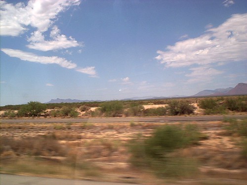
San Simon, Arizona
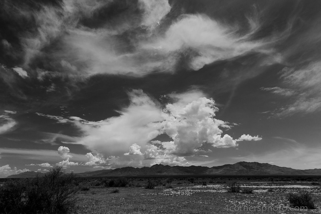
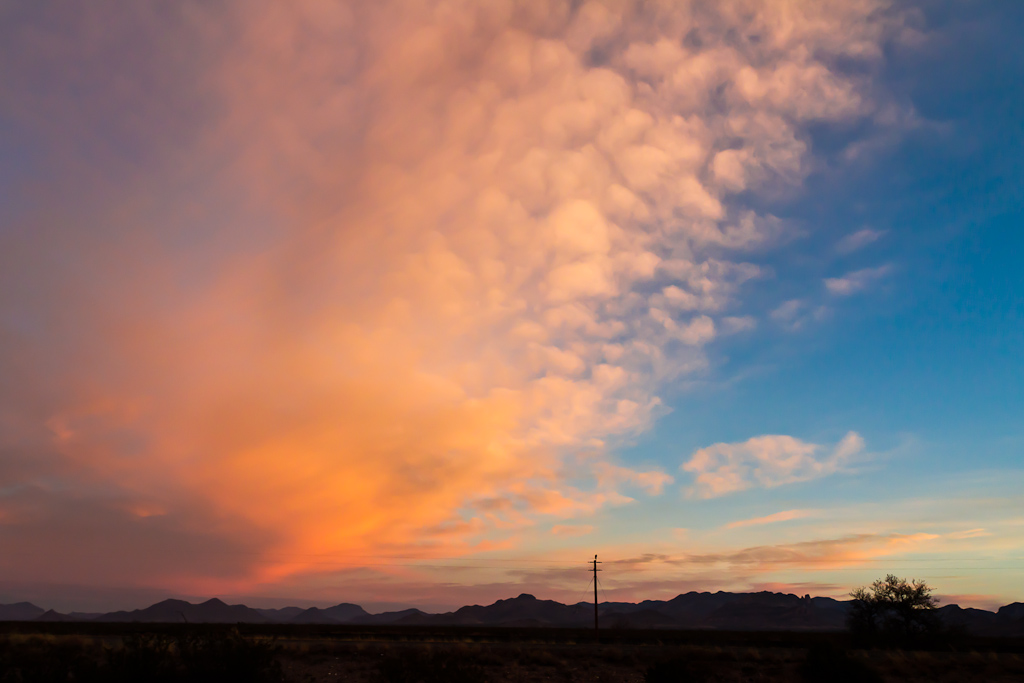
Clouds, Chiricahua National Monument, AZ
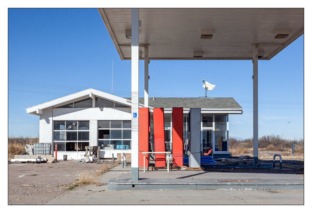
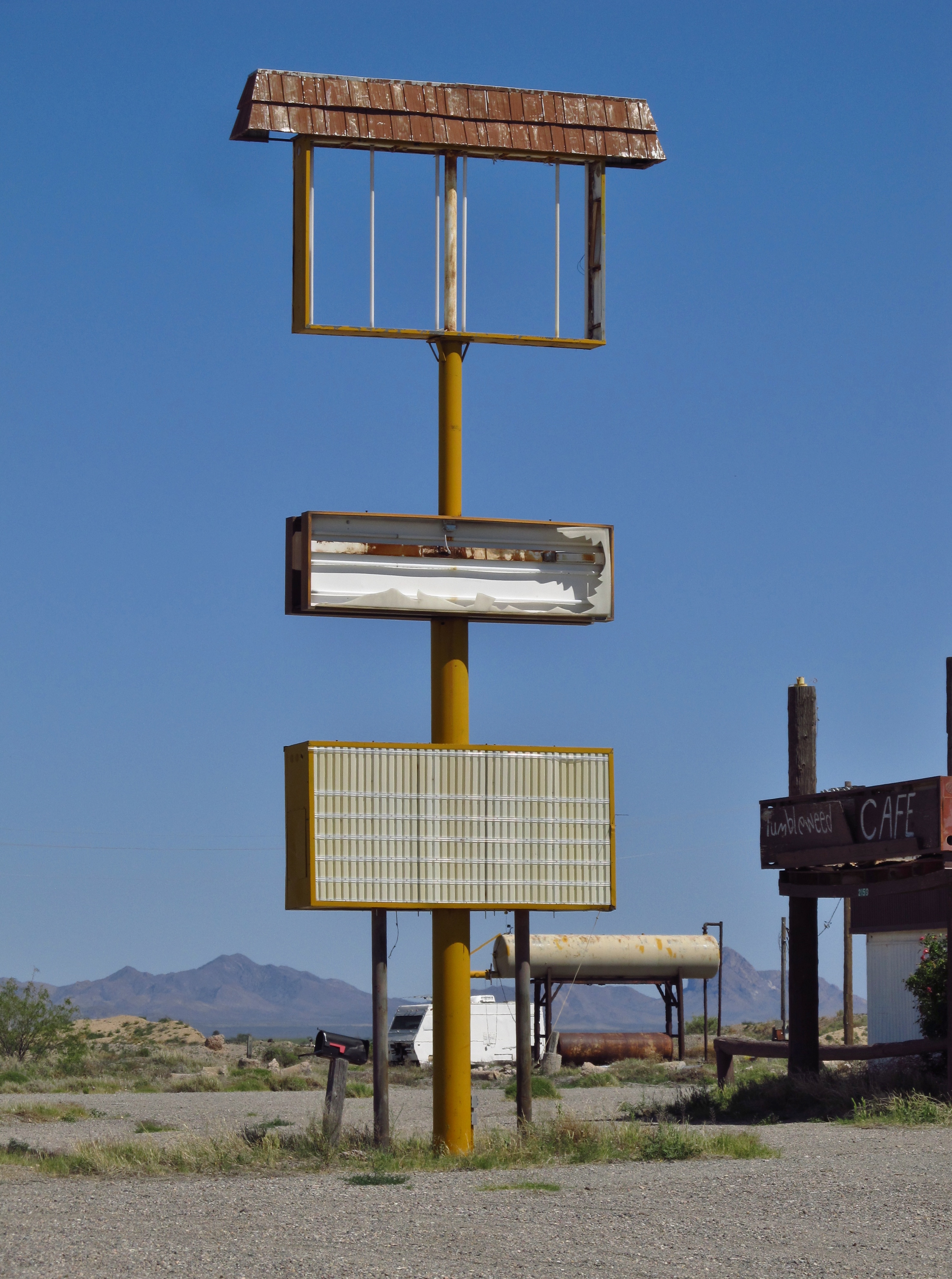
Former Shell Station - San Simon, Az. 2016
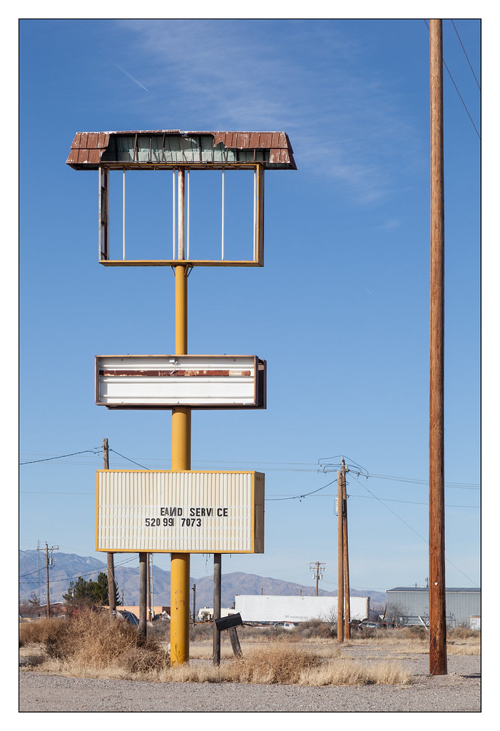
San Simon, Az.
IMG_1195 San Simon, AZ
San Simon, Arizona
Rain break
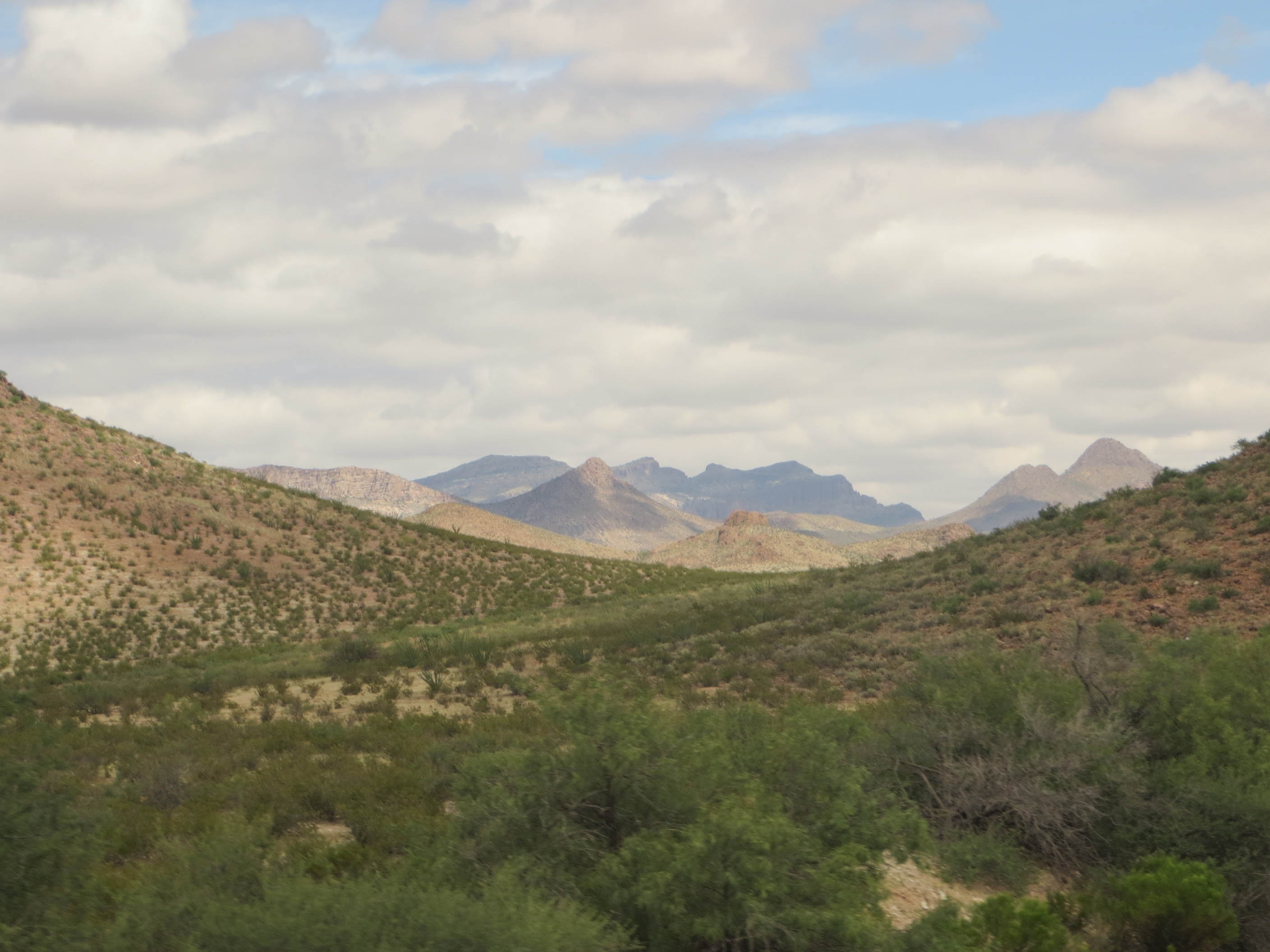
20140908 23 Arizona Desert
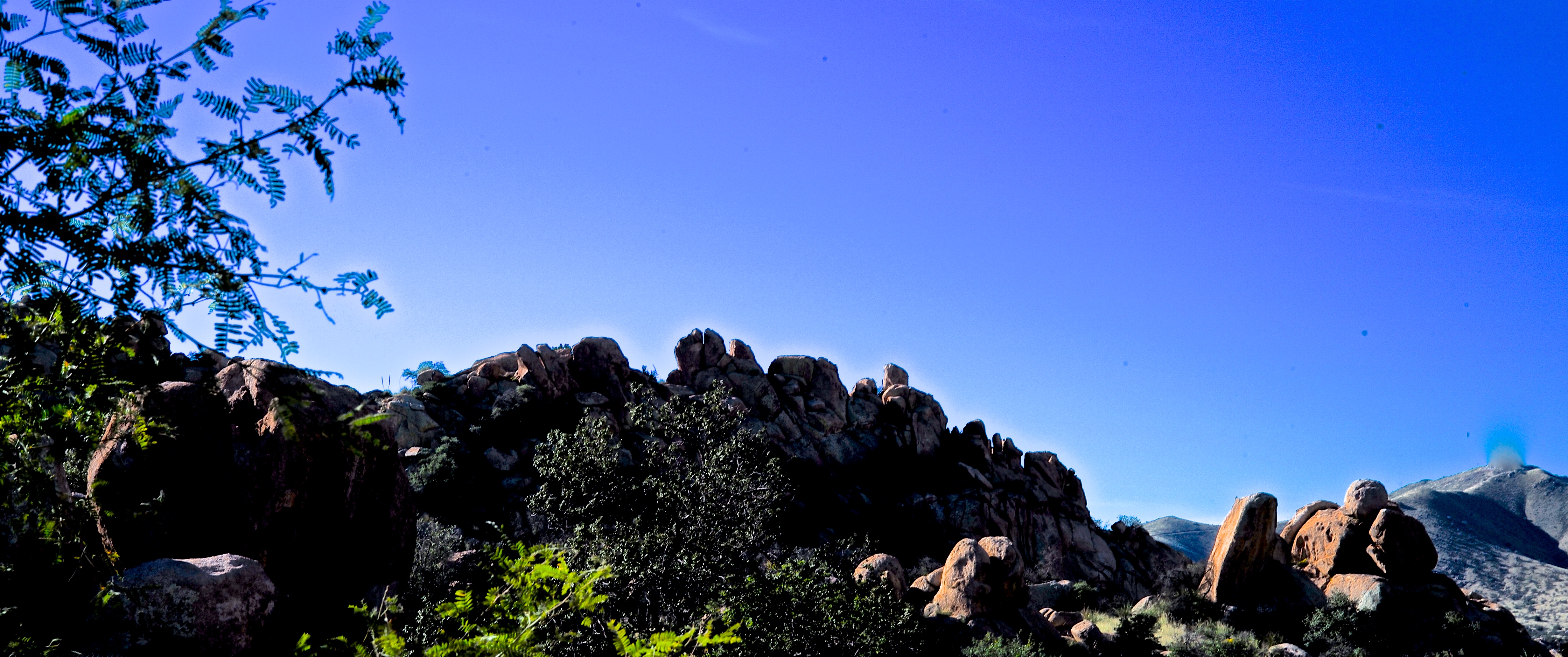
Rock Formations at Texas Canyon

2012-02-11_14-48-07_439
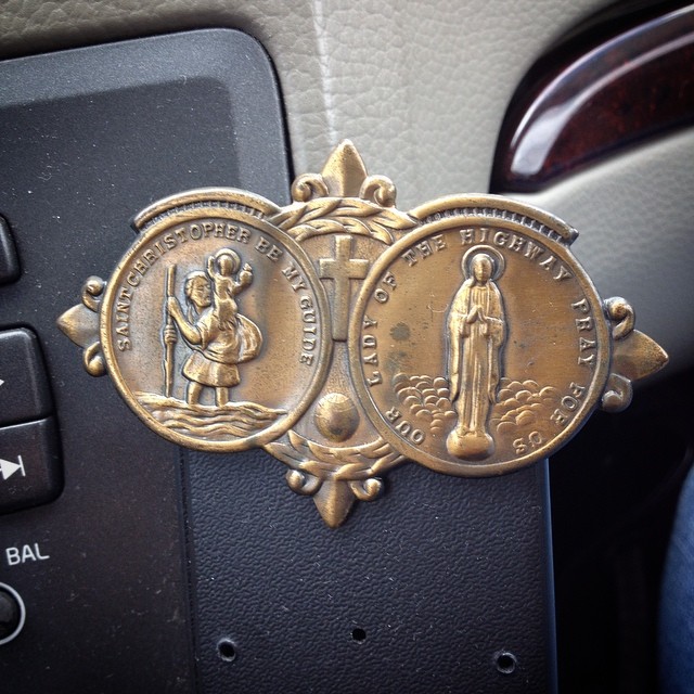
Been in every car since @ironduke151 's first one 14 years ago #stchristopher #ourladyofthehighway #roadtriptoaz #tekkbabe859 #blondebetweenthemountains @mtimman88
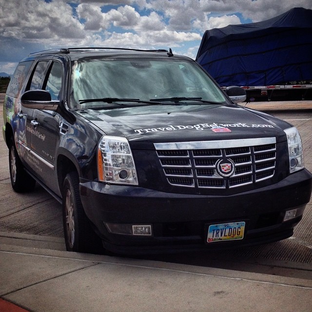
From #ohio #traveldogmetwork(dot)com. "For pals who travel with their people". #arizona #roadtriptoaz
Rest break #arizona #roadtriptoaz
#windy #Arizona #sky #clouds

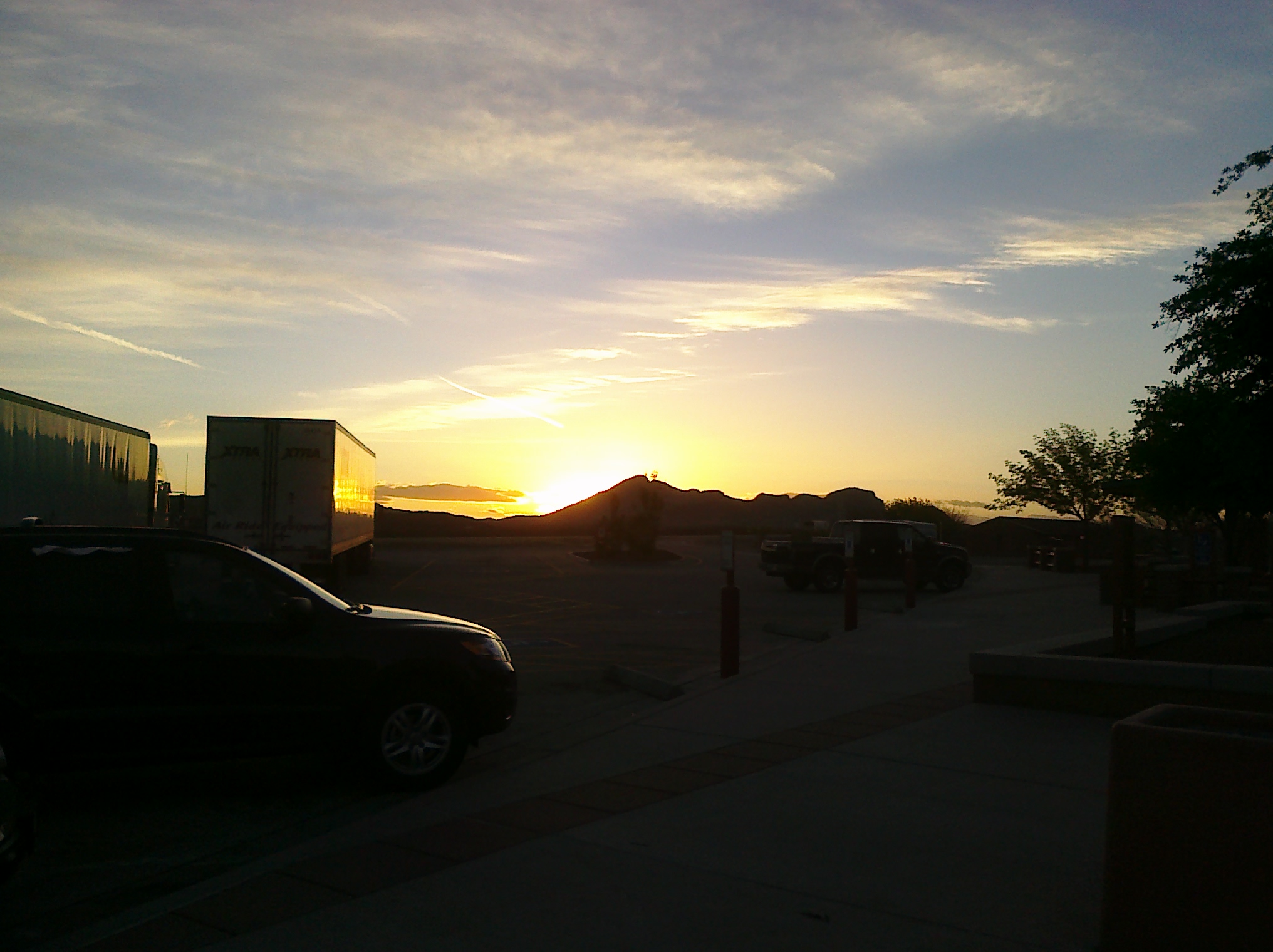
San Simon, AZ (Rest Area) (Interstate 10)

San Simon, AZ (Rest Area) (Interstate 10)

San Simon Rest Area (Interstate 10) (Arizona)

San Simon Rest Area (Interstate 10) (Arizona)

San Simon Rest Area (Interstate 10) (Arizona)

San Simon Rest Area (Interstate 10) (Arizona)

San Simon Rest Area (Interstate 10) (Arizona)
W Charles Ln, San Simon, AZ 美國West Charles Lane的地圖
搜索其他地方的日出日落時間
附近地點
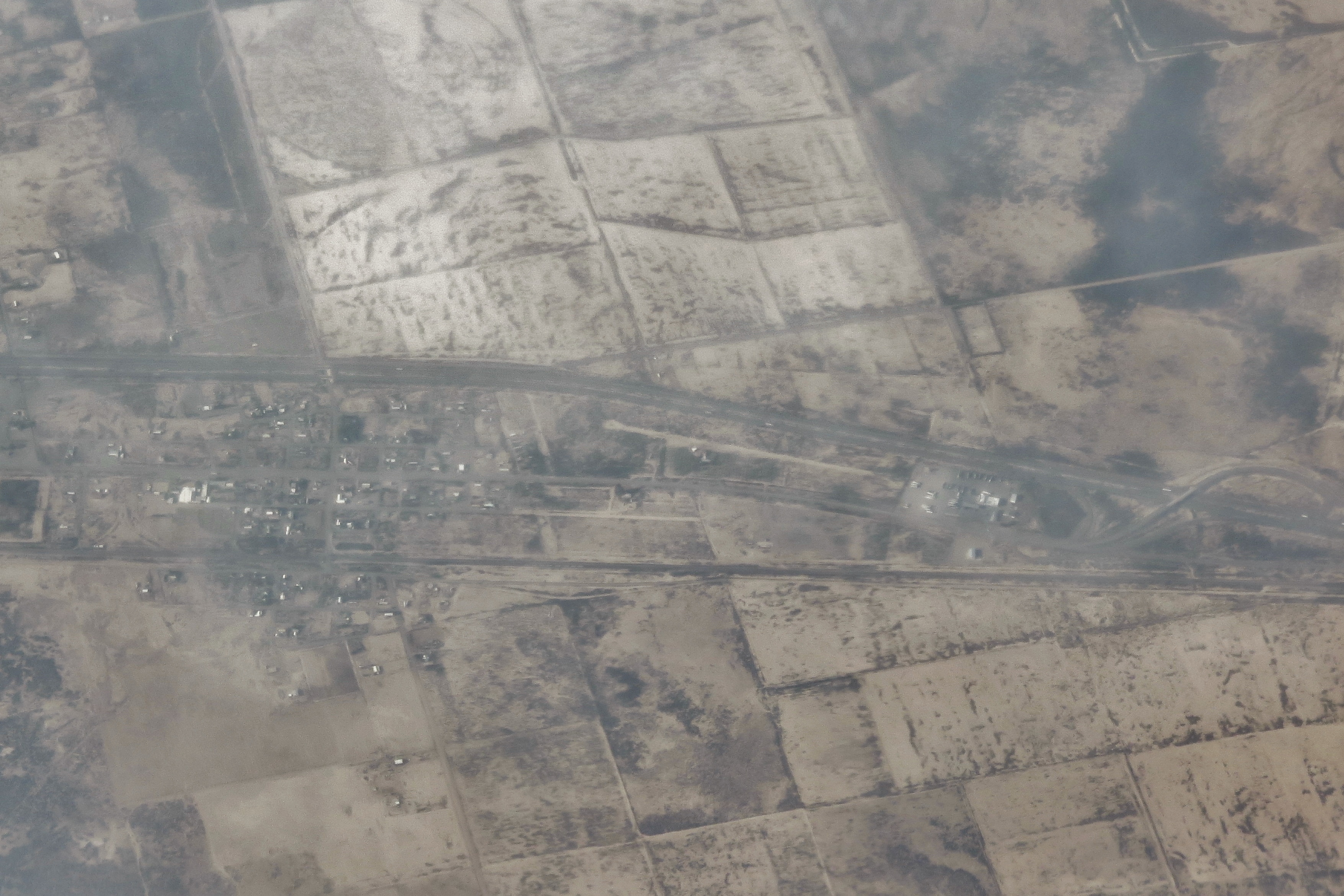
San Simon, AZ 美國
Bowie, AZ 美國Fort Bowie Ranger Station & Visitor Center
E Business Loop, Bowie, AZ 美國
Bowie, AZ 美國
San Simon Cienega, New Mexico 美國
E Bonita Canyon Rd, Willcox, AZ 美國Chiricahua National Monument
S Trogon Ln, San Simon, AZ 美國
E Rhyolite Creek Rd, Willcox, AZ 美國Bonita Canyon Campground (npsrecgovdata)
E Rhyolite Creek Rd, Willcox, AZ 美國Chiricahua National Monument Visitor Center
Blue Mountain, New Mexico 美國
E Bonita Canyon Rd, Willcox, AZ 美國East Bonita Canyon Road
S Timberline Dr, San Simon, AZ 美國
Paradise, AZ 美國
Forest Road 42, San Simon, AZ 美國Pinery Canyon Campground
S Cathedral Rock Rd, San Simon, AZ 美國
Silver Peak, Arizona 美國
Portal, AZ 美國
S Rock House Rd, Portal, AZ 美國
Dos Cabezas Peaks, Arizona 美國
Portal Rd, Portal, AZ 美國
最近搜索
- Sarangdanda 尼泊爾的日出日落時間表
- Nakanoshima, Shiogama, Miyagi -日本的日出日落時間表
- bp - 63 Rte de l'Observatoire, Bouzareah, 阿爾及利亞阿爾及爾天文台的日出日落時間表
- Crocker Dr, Vacaville, CA 美國的日出日落時間表
- 柬埔寨森莫諾隆HWHM+3X7Pu Ngaol Community Meeting Hall的日出日落時間表
- batu 10, Jalan Pantai, Port Dickson, Melaka, 馬來西亞Pantai Cermin的日出日落時間表
- 南非格魯伯斯普的日出日落時間表
- Petriti, 希臘的日出日落時間表
- Chesaw Rd, Oroville, WA 美國的日出日落時間表
- N, Mt Pleasant, UT 美國的日出日落時間表