West Charles Lane, W Charles Ln, San Simon, AZ, USA Sonnenaufgang Sonnenuntergang Zeiten
Location: USA > Arizona > Cochise County > San Simon >
Zeitzone:
America/Phoenix
Ortszeit:
2024-04-24 12:51:19
Länge:
-109.232354
Breite:
32.284242
Sonnenaufgang Heute:
05:35:23 AM
Sonnenuntergang Heute:
06:54:05 PM
Tageslänge heute:
13h 18m 42s
Sonnenaufgang morgen:
05:34:21 AM
Sonnenuntergang Morgen:
06:54:48 PM
Tageslänge von morgen:
13h 20m 27s
Alle Termine anzeigen
| Datum | Sonnenaufgang | Sonnenuntergang | Tageslänge |
|---|---|---|---|
| 2024-01-01 | 07:18:13 AM | 05:23:19 PM | 10h 5m 6s |
| 2024-01-02 | 07:18:24 AM | 05:24:04 PM | 10h 5m 40s |
| 2024-01-03 | 07:18:33 AM | 05:24:50 PM | 10h 6m 17s |
| 2024-01-04 | 07:18:40 AM | 05:25:37 PM | 10h 6m 57s |
| 2024-01-05 | 07:18:46 AM | 05:26:24 PM | 10h 7m 38s |
| 2024-01-06 | 07:18:50 AM | 05:27:13 PM | 10h 8m 23s |
| 2024-01-07 | 07:18:52 AM | 05:28:02 PM | 10h 9m 10s |
| 2024-01-08 | 07:18:53 AM | 05:28:52 PM | 10h 9m 59s |
| 2024-01-09 | 07:18:51 AM | 05:29:42 PM | 10h 10m 51s |
| 2024-01-10 | 07:18:48 AM | 05:30:34 PM | 10h 11m 46s |
| 2024-01-11 | 07:18:43 AM | 05:31:26 PM | 10h 12m 43s |
| 2024-01-12 | 07:18:36 AM | 05:32:18 PM | 10h 13m 42s |
| 2024-01-13 | 07:18:28 AM | 05:33:11 PM | 10h 14m 43s |
| 2024-01-14 | 07:18:18 AM | 05:34:05 PM | 10h 15m 47s |
| 2024-01-15 | 07:18:06 AM | 05:34:58 PM | 10h 16m 52s |
| 2024-01-16 | 07:17:52 AM | 05:35:53 PM | 10h 18m 1s |
| 2024-01-17 | 07:17:36 AM | 05:36:47 PM | 10h 19m 11s |
| 2024-01-18 | 07:17:19 AM | 05:37:42 PM | 10h 20m 23s |
| 2024-01-19 | 07:17:00 AM | 05:38:38 PM | 10h 21m 38s |
| 2024-01-20 | 07:16:39 AM | 05:39:33 PM | 10h 22m 54s |
| 2024-01-21 | 07:16:17 AM | 05:40:29 PM | 10h 24m 12s |
| 2024-01-22 | 07:15:53 AM | 05:41:24 PM | 10h 25m 31s |
| 2024-01-23 | 07:15:27 AM | 05:42:20 PM | 10h 26m 53s |
| 2024-01-24 | 07:15:00 AM | 05:43:16 PM | 10h 28m 16s |
| 2024-01-25 | 07:14:30 AM | 05:44:12 PM | 10h 29m 42s |
| 2024-01-26 | 07:14:00 AM | 05:45:09 PM | 10h 31m 9s |
| 2024-01-27 | 07:13:27 AM | 05:46:05 PM | 10h 32m 38s |
| 2024-01-28 | 07:12:54 AM | 05:47:01 PM | 10h 34m 7s |
| 2024-01-29 | 07:12:18 AM | 05:47:57 PM | 10h 35m 39s |
| 2024-01-30 | 07:11:41 AM | 05:48:53 PM | 10h 37m 12s |
| 2024-01-31 | 07:11:03 AM | 05:49:48 PM | 10h 38m 45s |
| 2024-02-01 | 07:10:23 AM | 05:50:44 PM | 10h 40m 21s |
| 2024-02-02 | 07:09:41 AM | 05:51:39 PM | 10h 41m 58s |
| 2024-02-03 | 07:08:58 AM | 05:52:35 PM | 10h 43m 37s |
| 2024-02-04 | 07:08:14 AM | 05:53:30 PM | 10h 45m 16s |
| 2024-02-05 | 07:07:28 AM | 05:54:24 PM | 10h 46m 56s |
| 2024-02-06 | 07:06:41 AM | 05:55:19 PM | 10h 48m 38s |
| 2024-02-07 | 07:05:53 AM | 05:56:13 PM | 10h 50m 20s |
| 2024-02-08 | 07:05:03 AM | 05:57:07 PM | 10h 52m 4s |
| 2024-02-09 | 07:04:12 AM | 05:58:01 PM | 10h 53m 49s |
| 2024-02-10 | 07:03:20 AM | 05:58:55 PM | 10h 55m 35s |
| 2024-02-11 | 07:02:26 AM | 05:59:48 PM | 10h 57m 22s |
| 2024-02-12 | 07:01:32 AM | 06:00:41 PM | 10h 59m 9s |
| 2024-02-13 | 07:00:36 AM | 06:01:33 PM | 11h 0m 57s |
| 2024-02-14 | 06:59:39 AM | 06:02:25 PM | 11h 2m 46s |
| 2024-02-15 | 06:58:41 AM | 06:03:17 PM | 11h 4m 36s |
| 2024-02-16 | 06:57:42 AM | 06:04:09 PM | 11h 6m 27s |
| 2024-02-17 | 06:56:41 AM | 06:05:00 PM | 11h 8m 19s |
| 2024-02-18 | 06:55:40 AM | 06:05:50 PM | 11h 10m 10s |
| 2024-02-19 | 06:54:38 AM | 06:06:41 PM | 11h 12m 3s |
| 2024-02-20 | 06:53:35 AM | 06:07:31 PM | 11h 13m 56s |
| 2024-02-21 | 06:52:31 AM | 06:08:20 PM | 11h 15m 49s |
| 2024-02-22 | 06:51:26 AM | 06:09:10 PM | 11h 17m 44s |
| 2024-02-23 | 06:50:20 AM | 06:09:59 PM | 11h 19m 39s |
| 2024-02-24 | 06:49:14 AM | 06:10:47 PM | 11h 21m 33s |
| 2024-02-25 | 06:48:06 AM | 06:11:35 PM | 11h 23m 29s |
| 2024-02-26 | 06:46:58 AM | 06:12:23 PM | 11h 25m 25s |
| 2024-02-27 | 06:45:49 AM | 06:13:11 PM | 11h 27m 22s |
| 2024-02-28 | 06:44:39 AM | 06:13:58 PM | 11h 29m 19s |
| 2024-02-29 | 06:43:29 AM | 06:14:45 PM | 11h 31m 16s |
| 2024-03-01 | 06:42:18 AM | 06:15:31 PM | 11h 33m 13s |
| 2024-03-02 | 06:41:06 AM | 06:16:18 PM | 11h 35m 12s |
| 2024-03-03 | 06:39:54 AM | 06:17:03 PM | 11h 37m 9s |
| 2024-03-04 | 06:38:41 AM | 06:17:49 PM | 11h 39m 8s |
| 2024-03-05 | 06:37:28 AM | 06:18:34 PM | 11h 41m 6s |
| 2024-03-06 | 06:36:14 AM | 06:19:19 PM | 11h 43m 5s |
| 2024-03-07 | 06:35:00 AM | 06:20:04 PM | 11h 45m 4s |
| 2024-03-08 | 06:33:45 AM | 06:20:48 PM | 11h 47m 3s |
| 2024-03-09 | 06:32:30 AM | 06:21:33 PM | 11h 49m 3s |
| 2024-03-10 | 06:31:15 AM | 06:22:17 PM | 11h 51m 2s |
| 2024-03-11 | 06:29:59 AM | 06:23:00 PM | 11h 53m 1s |
| 2024-03-12 | 06:28:42 AM | 06:23:44 PM | 11h 55m 2s |
| 2024-03-13 | 06:27:26 AM | 06:24:27 PM | 11h 57m 1s |
| 2024-03-14 | 06:26:09 AM | 06:25:10 PM | 11h 59m 1s |
| 2024-03-15 | 06:24:52 AM | 06:25:53 PM | 12h 1m 1s |
| 2024-03-16 | 06:23:35 AM | 06:26:35 PM | 12h 3m 0s |
| 2024-03-17 | 06:22:18 AM | 06:27:18 PM | 12h 5m 0s |
| 2024-03-18 | 06:21:00 AM | 06:28:00 PM | 12h 7m 0s |
| 2024-03-19 | 06:19:42 AM | 06:28:42 PM | 12h 9m 0s |
| 2024-03-20 | 06:18:25 AM | 06:29:24 PM | 12h 10m 59s |
| 2024-03-21 | 06:17:07 AM | 06:30:06 PM | 12h 12m 59s |
| 2024-03-22 | 06:15:49 AM | 06:30:48 PM | 12h 14m 59s |
| 2024-03-23 | 06:14:31 AM | 06:31:30 PM | 12h 16m 59s |
| 2024-03-24 | 06:13:13 AM | 06:32:11 PM | 12h 18m 58s |
| 2024-03-25 | 06:11:56 AM | 06:32:53 PM | 12h 20m 57s |
| 2024-03-26 | 06:10:38 AM | 06:33:34 PM | 12h 22m 56s |
| 2024-03-27 | 06:09:20 AM | 06:34:16 PM | 12h 24m 56s |
| 2024-03-28 | 06:08:03 AM | 06:34:57 PM | 12h 26m 54s |
| 2024-03-29 | 06:06:46 AM | 06:35:39 PM | 12h 28m 53s |
| 2024-03-30 | 06:05:28 AM | 06:36:20 PM | 12h 30m 52s |
| 2024-03-31 | 06:04:12 AM | 06:37:01 PM | 12h 32m 49s |
| 2024-04-01 | 06:02:55 AM | 06:37:43 PM | 12h 34m 48s |
| 2024-04-02 | 06:01:39 AM | 06:38:24 PM | 12h 36m 45s |
| 2024-04-03 | 06:00:23 AM | 06:39:05 PM | 12h 38m 42s |
| 2024-04-04 | 05:59:07 AM | 06:39:47 PM | 12h 40m 40s |
| 2024-04-05 | 05:57:52 AM | 06:40:28 PM | 12h 42m 36s |
| 2024-04-06 | 05:56:37 AM | 06:41:09 PM | 12h 44m 32s |
| 2024-04-07 | 05:55:22 AM | 06:41:51 PM | 12h 46m 29s |
| 2024-04-08 | 05:54:08 AM | 06:42:33 PM | 12h 48m 25s |
| 2024-04-09 | 05:52:55 AM | 06:43:14 PM | 12h 50m 19s |
| 2024-04-10 | 05:51:41 AM | 06:43:56 PM | 12h 52m 15s |
| 2024-04-11 | 05:50:29 AM | 06:44:38 PM | 12h 54m 9s |
| 2024-04-12 | 05:49:17 AM | 06:45:19 PM | 12h 56m 2s |
| 2024-04-13 | 05:48:05 AM | 06:46:01 PM | 12h 57m 56s |
| 2024-04-14 | 05:46:55 AM | 06:46:43 PM | 12h 59m 48s |
| 2024-04-15 | 05:45:45 AM | 06:47:25 PM | 13h 1m 40s |
| 2024-04-16 | 05:44:35 AM | 06:48:08 PM | 13h 3m 33s |
| 2024-04-17 | 05:43:26 AM | 06:48:50 PM | 13h 5m 24s |
| 2024-04-18 | 05:42:18 AM | 06:49:32 PM | 13h 7m 14s |
| 2024-04-19 | 05:41:11 AM | 06:50:15 PM | 13h 9m 4s |
| 2024-04-20 | 05:40:04 AM | 06:50:57 PM | 13h 10m 53s |
| 2024-04-21 | 05:38:59 AM | 06:51:40 PM | 13h 12m 41s |
| 2024-04-22 | 05:37:54 AM | 06:52:23 PM | 13h 14m 29s |
| 2024-04-23 | 05:36:50 AM | 06:53:06 PM | 13h 16m 16s |
| 2024-04-24 | 05:35:47 AM | 06:53:48 PM | 13h 18m 1s |
| 2024-04-25 | 05:34:44 AM | 06:54:31 PM | 13h 19m 47s |
| 2024-04-26 | 05:33:43 AM | 06:55:14 PM | 13h 21m 31s |
| 2024-04-27 | 05:32:43 AM | 06:55:57 PM | 13h 23m 14s |
| 2024-04-28 | 05:31:43 AM | 06:56:41 PM | 13h 24m 58s |
| 2024-04-29 | 05:30:45 AM | 06:57:24 PM | 13h 26m 39s |
| 2024-04-30 | 05:29:48 AM | 06:58:07 PM | 13h 28m 19s |
| 2024-05-01 | 05:28:52 AM | 06:58:50 PM | 13h 29m 58s |
| 2024-05-02 | 05:27:57 AM | 06:59:33 PM | 13h 31m 36s |
| 2024-05-03 | 05:27:02 AM | 07:00:17 PM | 13h 33m 15s |
| 2024-05-04 | 05:26:10 AM | 07:01:00 PM | 13h 34m 50s |
| 2024-05-05 | 05:25:18 AM | 07:01:43 PM | 13h 36m 25s |
| 2024-05-06 | 05:24:27 AM | 07:02:26 PM | 13h 37m 59s |
| 2024-05-07 | 05:23:38 AM | 07:03:09 PM | 13h 39m 31s |
| 2024-05-08 | 05:22:50 AM | 07:03:52 PM | 13h 41m 2s |
| 2024-05-09 | 05:22:03 AM | 07:04:35 PM | 13h 42m 32s |
| 2024-05-10 | 05:21:18 AM | 07:05:18 PM | 13h 44m 0s |
| 2024-05-11 | 05:20:33 AM | 07:06:00 PM | 13h 45m 27s |
| 2024-05-12 | 05:19:50 AM | 07:06:43 PM | 13h 46m 53s |
| 2024-05-13 | 05:19:09 AM | 07:07:25 PM | 13h 48m 16s |
| 2024-05-14 | 05:18:28 AM | 07:08:07 PM | 13h 49m 39s |
| 2024-05-15 | 05:17:49 AM | 07:08:49 PM | 13h 51m 0s |
| 2024-05-16 | 05:17:12 AM | 07:09:30 PM | 13h 52m 18s |
| 2024-05-17 | 05:16:36 AM | 07:10:12 PM | 13h 53m 36s |
| 2024-05-18 | 05:16:01 AM | 07:10:53 PM | 13h 54m 52s |
| 2024-05-19 | 05:15:28 AM | 07:11:33 PM | 13h 56m 5s |
| 2024-05-20 | 05:14:56 AM | 07:12:13 PM | 13h 57m 17s |
| 2024-05-21 | 05:14:25 AM | 07:12:53 PM | 13h 58m 28s |
| 2024-05-22 | 05:13:56 AM | 07:13:32 PM | 13h 59m 36s |
| 2024-05-23 | 05:13:29 AM | 07:14:11 PM | 14h 0m 42s |
| 2024-05-24 | 05:13:03 AM | 07:14:50 PM | 14h 1m 47s |
| 2024-05-25 | 05:12:38 AM | 07:15:28 PM | 14h 2m 50s |
| 2024-05-26 | 05:12:15 AM | 07:16:05 PM | 14h 3m 50s |
| 2024-05-27 | 05:11:54 AM | 07:16:42 PM | 14h 4m 48s |
| 2024-05-28 | 05:11:34 AM | 07:17:18 PM | 14h 5m 44s |
| 2024-05-29 | 05:11:15 AM | 07:17:53 PM | 14h 6m 38s |
| 2024-05-30 | 05:10:58 AM | 07:18:28 PM | 14h 7m 30s |
| 2024-05-31 | 05:10:43 AM | 07:19:02 PM | 14h 8m 19s |
| 2024-06-01 | 05:10:29 AM | 07:19:35 PM | 14h 9m 6s |
| 2024-06-02 | 05:10:17 AM | 07:20:08 PM | 14h 9m 51s |
| 2024-06-03 | 05:10:06 AM | 07:20:39 PM | 14h 10m 33s |
| 2024-06-04 | 05:09:56 AM | 07:21:10 PM | 14h 11m 14s |
| 2024-06-05 | 05:09:49 AM | 07:21:40 PM | 14h 11m 51s |
| 2024-06-06 | 05:09:42 AM | 07:22:09 PM | 14h 12m 27s |
| 2024-06-07 | 05:09:37 AM | 07:22:37 PM | 14h 13m 0s |
| 2024-06-08 | 05:09:34 AM | 07:23:04 PM | 14h 13m 30s |
| 2024-06-09 | 05:09:32 AM | 07:23:30 PM | 14h 13m 58s |
| 2024-06-10 | 05:09:32 AM | 07:23:55 PM | 14h 14m 23s |
| 2024-06-11 | 05:09:33 AM | 07:24:19 PM | 14h 14m 46s |
| 2024-06-12 | 05:09:35 AM | 07:24:42 PM | 14h 15m 7s |
| 2024-06-13 | 05:09:39 AM | 07:25:03 PM | 14h 15m 24s |
| 2024-06-14 | 05:09:45 AM | 07:25:23 PM | 14h 15m 38s |
| 2024-06-15 | 05:09:51 AM | 07:25:43 PM | 14h 15m 52s |
| 2024-06-16 | 05:09:59 AM | 07:26:01 PM | 14h 16m 2s |
| 2024-06-17 | 05:10:09 AM | 07:26:17 PM | 14h 16m 8s |
| 2024-06-18 | 05:10:20 AM | 07:26:33 PM | 14h 16m 13s |
| 2024-06-19 | 05:10:32 AM | 07:26:47 PM | 14h 16m 15s |
| 2024-06-20 | 05:10:45 AM | 07:27:00 PM | 14h 16m 15s |
| 2024-06-21 | 05:11:00 AM | 07:27:11 PM | 14h 16m 11s |
| 2024-06-22 | 05:11:16 AM | 07:27:21 PM | 14h 16m 5s |
| 2024-06-23 | 05:11:33 AM | 07:27:29 PM | 14h 15m 56s |
| 2024-06-24 | 05:11:51 AM | 07:27:37 PM | 14h 15m 46s |
| 2024-06-25 | 05:12:10 AM | 07:27:42 PM | 14h 15m 32s |
| 2024-06-26 | 05:12:31 AM | 07:27:47 PM | 14h 15m 16s |
| 2024-06-27 | 05:12:52 AM | 07:27:49 PM | 14h 14m 57s |
| 2024-06-28 | 05:13:15 AM | 07:27:51 PM | 14h 14m 36s |
| 2024-06-29 | 05:13:39 AM | 07:27:51 PM | 14h 14m 12s |
| 2024-06-30 | 05:14:04 AM | 07:27:49 PM | 14h 13m 45s |
| 2024-07-01 | 05:14:29 AM | 07:27:46 PM | 14h 13m 17s |
| 2024-07-02 | 05:14:56 AM | 07:27:41 PM | 14h 12m 45s |
| 2024-07-03 | 05:15:23 AM | 07:27:35 PM | 14h 12m 12s |
| 2024-07-04 | 05:15:52 AM | 07:27:27 PM | 14h 11m 35s |
| 2024-07-05 | 05:16:21 AM | 07:27:17 PM | 14h 10m 56s |
| 2024-07-06 | 05:16:51 AM | 07:27:06 PM | 14h 10m 15s |
| 2024-07-07 | 05:17:22 AM | 07:26:54 PM | 14h 9m 32s |
| 2024-07-08 | 05:17:54 AM | 07:26:40 PM | 14h 8m 46s |
| 2024-07-09 | 05:18:26 AM | 07:26:24 PM | 14h 7m 58s |
| 2024-07-10 | 05:18:59 AM | 07:26:07 PM | 14h 7m 8s |
| 2024-07-11 | 05:19:32 AM | 07:25:48 PM | 14h 6m 16s |
| 2024-07-12 | 05:20:07 AM | 07:25:28 PM | 14h 5m 21s |
| 2024-07-13 | 05:20:41 AM | 07:25:06 PM | 14h 4m 25s |
| 2024-07-14 | 05:21:17 AM | 07:24:43 PM | 14h 3m 26s |
| 2024-07-15 | 05:21:52 AM | 07:24:18 PM | 14h 2m 26s |
| 2024-07-16 | 05:22:29 AM | 07:23:51 PM | 14h 1m 22s |
| 2024-07-17 | 05:23:05 AM | 07:23:23 PM | 14h 0m 18s |
| 2024-07-18 | 05:23:42 AM | 07:22:54 PM | 13h 59m 12s |
| 2024-07-19 | 05:24:20 AM | 07:22:23 PM | 13h 58m 3s |
| 2024-07-20 | 05:24:58 AM | 07:21:50 PM | 13h 56m 52s |
| 2024-07-21 | 05:25:36 AM | 07:21:16 PM | 13h 55m 40s |
| 2024-07-22 | 05:26:15 AM | 07:20:41 PM | 13h 54m 26s |
| 2024-07-23 | 05:26:53 AM | 07:20:04 PM | 13h 53m 11s |
| 2024-07-24 | 05:27:32 AM | 07:19:26 PM | 13h 51m 54s |
| 2024-07-25 | 05:28:12 AM | 07:18:46 PM | 13h 50m 34s |
| 2024-07-26 | 05:28:51 AM | 07:18:05 PM | 13h 49m 14s |
| 2024-07-27 | 05:29:31 AM | 07:17:22 PM | 13h 47m 51s |
| 2024-07-28 | 05:30:10 AM | 07:16:38 PM | 13h 46m 28s |
| 2024-07-29 | 05:30:50 AM | 07:15:53 PM | 13h 45m 3s |
| 2024-07-30 | 05:31:30 AM | 07:15:07 PM | 13h 43m 37s |
| 2024-07-31 | 05:32:10 AM | 07:14:19 PM | 13h 42m 9s |
| 2024-08-01 | 05:32:50 AM | 07:13:30 PM | 13h 40m 40s |
| 2024-08-02 | 05:33:30 AM | 07:12:40 PM | 13h 39m 10s |
| 2024-08-03 | 05:34:10 AM | 07:11:48 PM | 13h 37m 38s |
| 2024-08-04 | 05:34:51 AM | 07:10:55 PM | 13h 36m 4s |
| 2024-08-05 | 05:35:31 AM | 07:10:01 PM | 13h 34m 30s |
| 2024-08-06 | 05:36:11 AM | 07:09:06 PM | 13h 32m 55s |
| 2024-08-07 | 05:36:51 AM | 07:08:10 PM | 13h 31m 19s |
| 2024-08-08 | 05:37:31 AM | 07:07:12 PM | 13h 29m 41s |
| 2024-08-09 | 05:38:11 AM | 07:06:14 PM | 13h 28m 3s |
| 2024-08-10 | 05:38:51 AM | 07:05:14 PM | 13h 26m 23s |
| 2024-08-11 | 05:39:31 AM | 07:04:14 PM | 13h 24m 43s |
| 2024-08-12 | 05:40:11 AM | 07:03:12 PM | 13h 23m 1s |
| 2024-08-13 | 05:40:50 AM | 07:02:10 PM | 13h 21m 20s |
| 2024-08-14 | 05:41:30 AM | 07:01:06 PM | 13h 19m 36s |
| 2024-08-15 | 05:42:09 AM | 07:00:02 PM | 13h 17m 53s |
| 2024-08-16 | 05:42:49 AM | 06:58:56 PM | 13h 16m 7s |
| 2024-08-17 | 05:43:28 AM | 06:57:50 PM | 13h 14m 22s |
| 2024-08-18 | 05:44:07 AM | 06:56:43 PM | 13h 12m 36s |
| 2024-08-19 | 05:44:46 AM | 06:55:35 PM | 13h 10m 49s |
| 2024-08-20 | 05:45:25 AM | 06:54:26 PM | 13h 9m 1s |
| 2024-08-21 | 05:46:04 AM | 06:53:16 PM | 13h 7m 12s |
| 2024-08-22 | 05:46:42 AM | 06:52:06 PM | 13h 5m 24s |
| 2024-08-23 | 05:47:21 AM | 06:50:55 PM | 13h 3m 34s |
| 2024-08-24 | 05:47:59 AM | 06:49:43 PM | 13h 1m 44s |
| 2024-08-25 | 05:48:38 AM | 06:48:31 PM | 12h 59m 53s |
| 2024-08-26 | 05:49:16 AM | 06:47:18 PM | 12h 58m 2s |
| 2024-08-27 | 05:49:54 AM | 06:46:04 PM | 12h 56m 10s |
| 2024-08-28 | 05:50:32 AM | 06:44:50 PM | 12h 54m 18s |
| 2024-08-29 | 05:51:09 AM | 06:43:35 PM | 12h 52m 26s |
| 2024-08-30 | 05:51:47 AM | 06:42:20 PM | 12h 50m 33s |
| 2024-08-31 | 05:52:25 AM | 06:41:04 PM | 12h 48m 39s |
| 2024-09-01 | 05:53:02 AM | 06:39:47 PM | 12h 46m 45s |
| 2024-09-02 | 05:53:40 AM | 06:38:31 PM | 12h 44m 51s |
| 2024-09-03 | 05:54:17 AM | 06:37:13 PM | 12h 42m 56s |
| 2024-09-04 | 05:54:54 AM | 06:35:56 PM | 12h 41m 2s |
| 2024-09-05 | 05:55:32 AM | 06:34:38 PM | 12h 39m 6s |
| 2024-09-06 | 05:56:09 AM | 06:33:19 PM | 12h 37m 10s |
| 2024-09-07 | 05:56:46 AM | 06:32:01 PM | 12h 35m 15s |
| 2024-09-08 | 05:57:23 AM | 06:30:42 PM | 12h 33m 19s |
| 2024-09-09 | 05:58:00 AM | 06:29:23 PM | 12h 31m 23s |
| 2024-09-10 | 05:58:38 AM | 06:28:03 PM | 12h 29m 25s |
| 2024-09-11 | 05:59:15 AM | 06:26:44 PM | 12h 27m 29s |
| 2024-09-12 | 05:59:52 AM | 06:25:24 PM | 12h 25m 32s |
| 2024-09-13 | 06:00:29 AM | 06:24:04 PM | 12h 23m 35s |
| 2024-09-14 | 06:01:06 AM | 06:22:44 PM | 12h 21m 38s |
| 2024-09-15 | 06:01:44 AM | 06:21:24 PM | 12h 19m 40s |
| 2024-09-16 | 06:02:21 AM | 06:20:03 PM | 12h 17m 42s |
| 2024-09-17 | 06:02:58 AM | 06:18:43 PM | 12h 15m 45s |
| 2024-09-18 | 06:03:36 AM | 06:17:23 PM | 12h 13m 47s |
| 2024-09-19 | 06:04:13 AM | 06:16:03 PM | 12h 11m 50s |
| 2024-09-20 | 06:04:51 AM | 06:14:42 PM | 12h 9m 51s |
| 2024-09-21 | 06:05:29 AM | 06:13:22 PM | 12h 7m 53s |
| 2024-09-22 | 06:06:07 AM | 06:12:02 PM | 12h 5m 55s |
| 2024-09-23 | 06:06:45 AM | 06:10:42 PM | 12h 3m 57s |
| 2024-09-24 | 06:07:23 AM | 06:09:23 PM | 12h 2m 0s |
| 2024-09-25 | 06:08:02 AM | 06:08:03 PM | 12h 0m 1s |
| 2024-09-26 | 06:08:41 AM | 06:06:44 PM | 11h 58m 3s |
| 2024-09-27 | 06:09:19 AM | 06:05:25 PM | 11h 56m 6s |
| 2024-09-28 | 06:09:58 AM | 06:04:06 PM | 11h 54m 8s |
| 2024-09-29 | 06:10:38 AM | 06:02:47 PM | 11h 52m 9s |
| 2024-09-30 | 06:11:17 AM | 06:01:29 PM | 11h 50m 12s |
| 2024-10-01 | 06:11:57 AM | 06:00:11 PM | 11h 48m 14s |
| 2024-10-02 | 06:12:37 AM | 05:58:54 PM | 11h 46m 17s |
| 2024-10-03 | 06:13:17 AM | 05:57:37 PM | 11h 44m 20s |
| 2024-10-04 | 06:13:58 AM | 05:56:20 PM | 11h 42m 22s |
| 2024-10-05 | 06:14:39 AM | 05:55:04 PM | 11h 40m 25s |
| 2024-10-06 | 06:15:20 AM | 05:53:49 PM | 11h 38m 29s |
| 2024-10-07 | 06:16:02 AM | 05:52:34 PM | 11h 36m 32s |
| 2024-10-08 | 06:16:43 AM | 05:51:19 PM | 11h 34m 36s |
| 2024-10-09 | 06:17:26 AM | 05:50:05 PM | 11h 32m 39s |
| 2024-10-10 | 06:18:08 AM | 05:48:52 PM | 11h 30m 44s |
| 2024-10-11 | 06:18:51 AM | 05:47:40 PM | 11h 28m 49s |
| 2024-10-12 | 06:19:34 AM | 05:46:28 PM | 11h 26m 54s |
| 2024-10-13 | 06:20:18 AM | 05:45:17 PM | 11h 24m 59s |
| 2024-10-14 | 06:21:02 AM | 05:44:06 PM | 11h 23m 4s |
| 2024-10-15 | 06:21:46 AM | 05:42:57 PM | 11h 21m 11s |
| 2024-10-16 | 06:22:31 AM | 05:41:48 PM | 11h 19m 17s |
| 2024-10-17 | 06:23:16 AM | 05:40:40 PM | 11h 17m 24s |
| 2024-10-18 | 06:24:01 AM | 05:39:33 PM | 11h 15m 32s |
| 2024-10-19 | 06:24:47 AM | 05:38:26 PM | 11h 13m 39s |
| 2024-10-20 | 06:25:33 AM | 05:37:21 PM | 11h 11m 48s |
| 2024-10-21 | 06:26:20 AM | 05:36:17 PM | 11h 9m 57s |
| 2024-10-22 | 06:27:07 AM | 05:35:13 PM | 11h 8m 6s |
| 2024-10-23 | 06:27:54 AM | 05:34:11 PM | 11h 6m 17s |
| 2024-10-24 | 06:28:42 AM | 05:33:09 PM | 11h 4m 27s |
| 2024-10-25 | 06:29:30 AM | 05:32:09 PM | 11h 2m 39s |
| 2024-10-26 | 06:30:19 AM | 05:31:10 PM | 11h 0m 51s |
| 2024-10-27 | 06:31:08 AM | 05:30:12 PM | 10h 59m 4s |
| 2024-10-28 | 06:31:57 AM | 05:29:15 PM | 10h 57m 18s |
| 2024-10-29 | 06:32:46 AM | 05:28:20 PM | 10h 55m 34s |
| 2024-10-30 | 06:33:36 AM | 05:27:25 PM | 10h 53m 49s |
| 2024-10-31 | 06:34:27 AM | 05:26:32 PM | 10h 52m 5s |
| 2024-11-01 | 06:35:17 AM | 05:25:40 PM | 10h 50m 23s |
| 2024-11-02 | 06:36:08 AM | 05:24:49 PM | 10h 48m 41s |
| 2024-11-03 | 06:37:00 AM | 05:24:00 PM | 10h 47m 0s |
| 2024-11-04 | 06:37:51 AM | 05:23:12 PM | 10h 45m 21s |
| 2024-11-05 | 06:38:43 AM | 05:22:26 PM | 10h 43m 43s |
| 2024-11-06 | 06:39:35 AM | 05:21:41 PM | 10h 42m 6s |
| 2024-11-07 | 06:40:28 AM | 05:20:57 PM | 10h 40m 29s |
| 2024-11-08 | 06:41:20 AM | 05:20:15 PM | 10h 38m 55s |
| 2024-11-09 | 06:42:13 AM | 05:19:34 PM | 10h 37m 21s |
| 2024-11-10 | 06:43:06 AM | 05:18:55 PM | 10h 35m 49s |
| 2024-11-11 | 06:43:59 AM | 05:18:18 PM | 10h 34m 19s |
| 2024-11-12 | 06:44:52 AM | 05:17:42 PM | 10h 32m 50s |
| 2024-11-13 | 06:45:46 AM | 05:17:07 PM | 10h 31m 21s |
| 2024-11-14 | 06:46:39 AM | 05:16:34 PM | 10h 29m 55s |
| 2024-11-15 | 06:47:33 AM | 05:16:03 PM | 10h 28m 30s |
| 2024-11-16 | 06:48:26 AM | 05:15:33 PM | 10h 27m 7s |
| 2024-11-17 | 06:49:20 AM | 05:15:06 PM | 10h 25m 46s |
| 2024-11-18 | 06:50:13 AM | 05:14:39 PM | 10h 24m 26s |
| 2024-11-19 | 06:51:06 AM | 05:14:15 PM | 10h 23m 9s |
| 2024-11-20 | 06:52:00 AM | 05:13:52 PM | 10h 21m 52s |
| 2024-11-21 | 06:52:53 AM | 05:13:31 PM | 10h 20m 38s |
| 2024-11-22 | 06:53:45 AM | 05:13:12 PM | 10h 19m 27s |
| 2024-11-23 | 06:54:38 AM | 05:12:55 PM | 10h 18m 17s |
| 2024-11-24 | 06:55:31 AM | 05:12:39 PM | 10h 17m 8s |
| 2024-11-25 | 06:56:23 AM | 05:12:25 PM | 10h 16m 2s |
| 2024-11-26 | 06:57:14 AM | 05:12:13 PM | 10h 14m 59s |
| 2024-11-27 | 06:58:06 AM | 05:12:03 PM | 10h 13m 57s |
| 2024-11-28 | 06:58:57 AM | 05:11:54 PM | 10h 12m 57s |
| 2024-11-29 | 06:59:47 AM | 05:11:47 PM | 10h 12m 0s |
| 2024-11-30 | 07:00:37 AM | 05:11:43 PM | 10h 11m 6s |
| 2024-12-01 | 07:01:26 AM | 05:11:39 PM | 10h 10m 13s |
| 2024-12-02 | 07:02:15 AM | 05:11:38 PM | 10h 9m 23s |
| 2024-12-03 | 07:03:03 AM | 05:11:39 PM | 10h 8m 36s |
| 2024-12-04 | 07:03:51 AM | 05:11:41 PM | 10h 7m 50s |
| 2024-12-05 | 07:04:37 AM | 05:11:46 PM | 10h 7m 9s |
| 2024-12-06 | 07:05:23 AM | 05:11:52 PM | 10h 6m 29s |
| 2024-12-07 | 07:06:08 AM | 05:11:59 PM | 10h 5m 51s |
| 2024-12-08 | 07:06:52 AM | 05:12:09 PM | 10h 5m 17s |
| 2024-12-09 | 07:07:35 AM | 05:12:20 PM | 10h 4m 45s |
| 2024-12-10 | 07:08:18 AM | 05:12:33 PM | 10h 4m 15s |
| 2024-12-11 | 07:08:59 AM | 05:12:48 PM | 10h 3m 49s |
| 2024-12-12 | 07:09:39 AM | 05:13:05 PM | 10h 3m 26s |
| 2024-12-13 | 07:10:18 AM | 05:13:23 PM | 10h 3m 5s |
| 2024-12-14 | 07:10:56 AM | 05:13:43 PM | 10h 2m 47s |
| 2024-12-15 | 07:11:33 AM | 05:14:04 PM | 10h 2m 31s |
| 2024-12-16 | 07:12:08 AM | 05:14:28 PM | 10h 2m 20s |
| 2024-12-17 | 07:12:43 AM | 05:14:52 PM | 10h 2m 9s |
| 2024-12-18 | 07:13:16 AM | 05:15:19 PM | 10h 2m 3s |
| 2024-12-19 | 07:13:47 AM | 05:15:47 PM | 10h 2m 0s |
| 2024-12-20 | 07:14:17 AM | 05:16:16 PM | 10h 1m 59s |
| 2024-12-21 | 07:14:46 AM | 05:16:47 PM | 10h 2m 1s |
| 2024-12-22 | 07:15:14 AM | 05:17:19 PM | 10h 2m 5s |
| 2024-12-23 | 07:15:39 AM | 05:17:53 PM | 10h 2m 14s |
| 2024-12-24 | 07:16:04 AM | 05:18:28 PM | 10h 2m 24s |
| 2024-12-25 | 07:16:27 AM | 05:19:05 PM | 10h 2m 38s |
| 2024-12-26 | 07:16:48 AM | 05:19:42 PM | 10h 2m 54s |
| 2024-12-27 | 07:17:07 AM | 05:20:21 PM | 10h 3m 14s |
| 2024-12-28 | 07:17:26 AM | 05:21:01 PM | 10h 3m 35s |
| 2024-12-29 | 07:17:42 AM | 05:21:43 PM | 10h 4m 1s |
| 2024-12-30 | 07:17:57 AM | 05:22:25 PM | 10h 4m 28s |
Fotos
Rise and shine people! #ohyeahemptybladder
Road Landscape-6022-Edit
Sunrise Over I-10
IMG00009
IMG00011

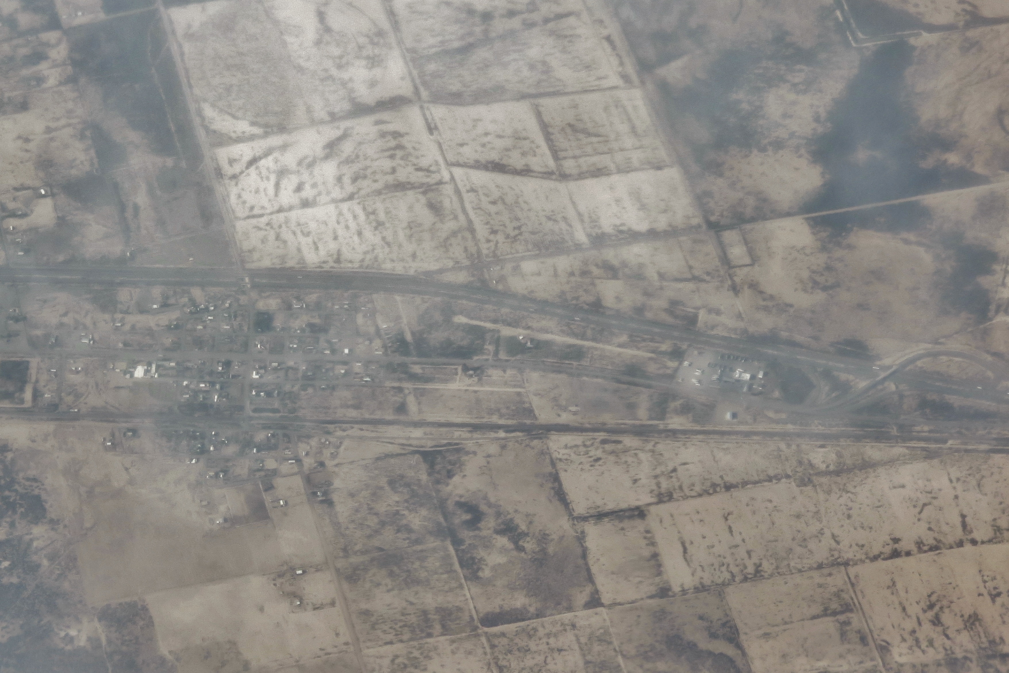
San Simon, Arizona
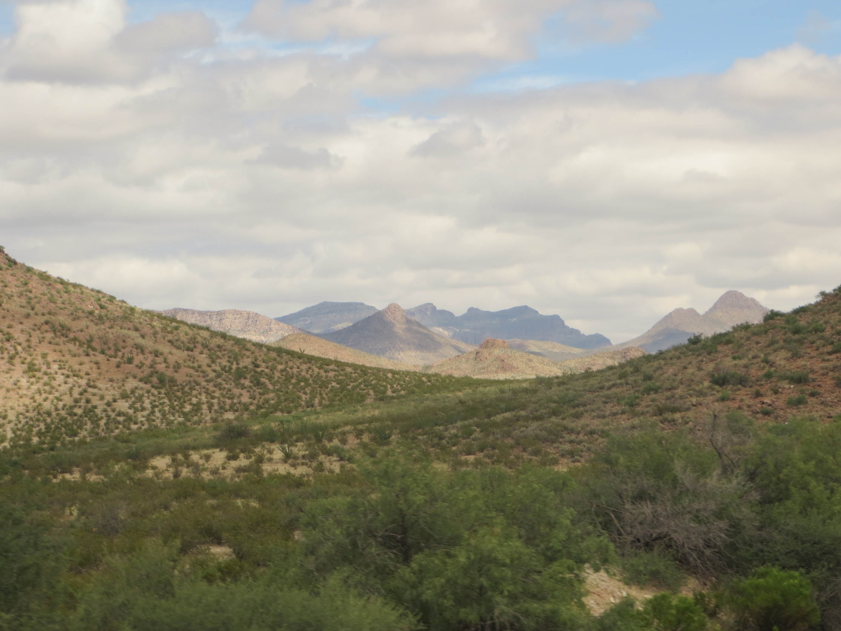
Clouds, Chiricahua National Monument, AZ
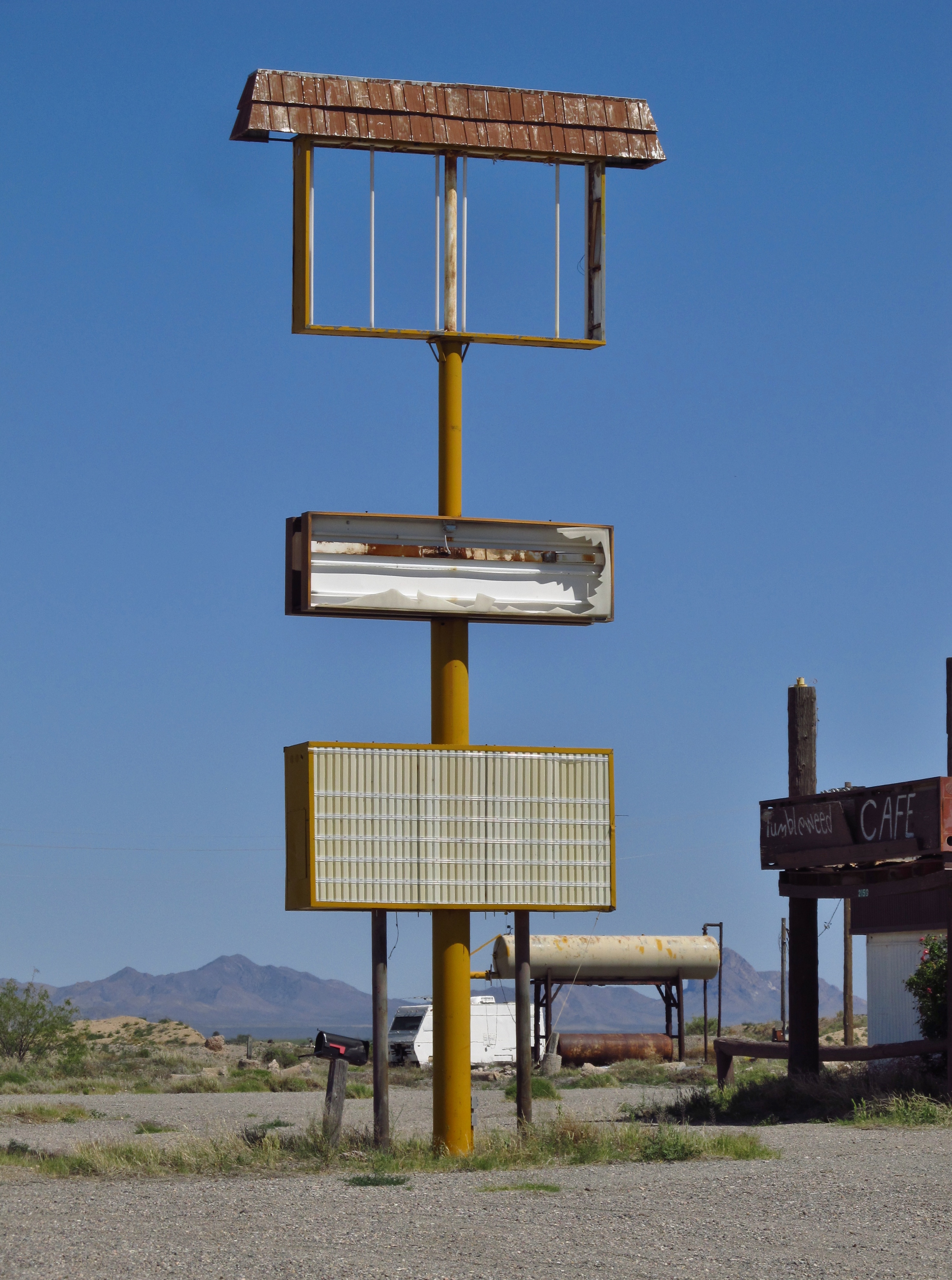
Former Shell Station - San Simon, Az. 2016
San Simon, Az.
IMG_1195 San Simon, AZ
San Simon, Arizona
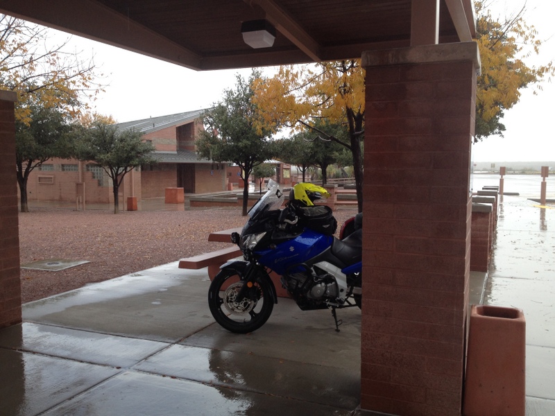
Rain break
20140908 23 Arizona Desert
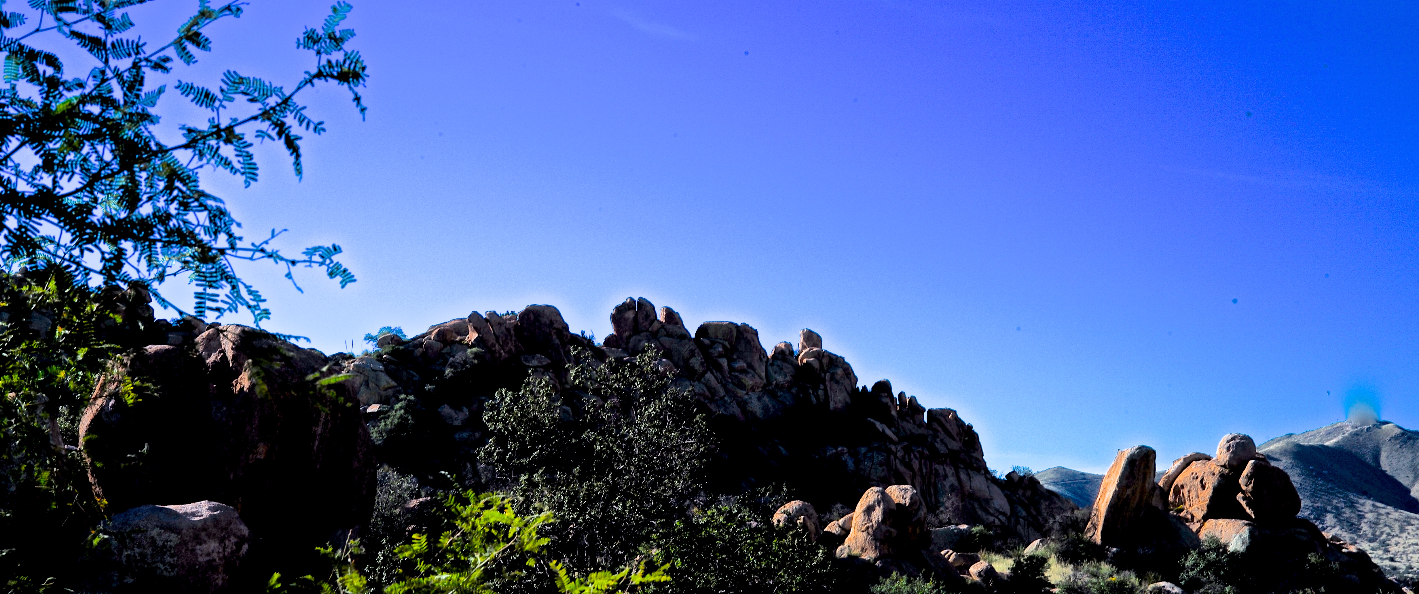
Rock Formations at Texas Canyon

2012-02-11_14-48-07_439

Been in every car since @ironduke151 's first one 14 years ago #stchristopher #ourladyofthehighway #roadtriptoaz #tekkbabe859 #blondebetweenthemountains @mtimman88
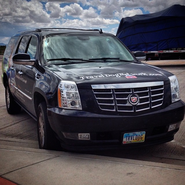
From #ohio #traveldogmetwork(dot)com. "For pals who travel with their people". #arizona #roadtriptoaz
Rest break #arizona #roadtriptoaz
#windy #Arizona #sky #clouds

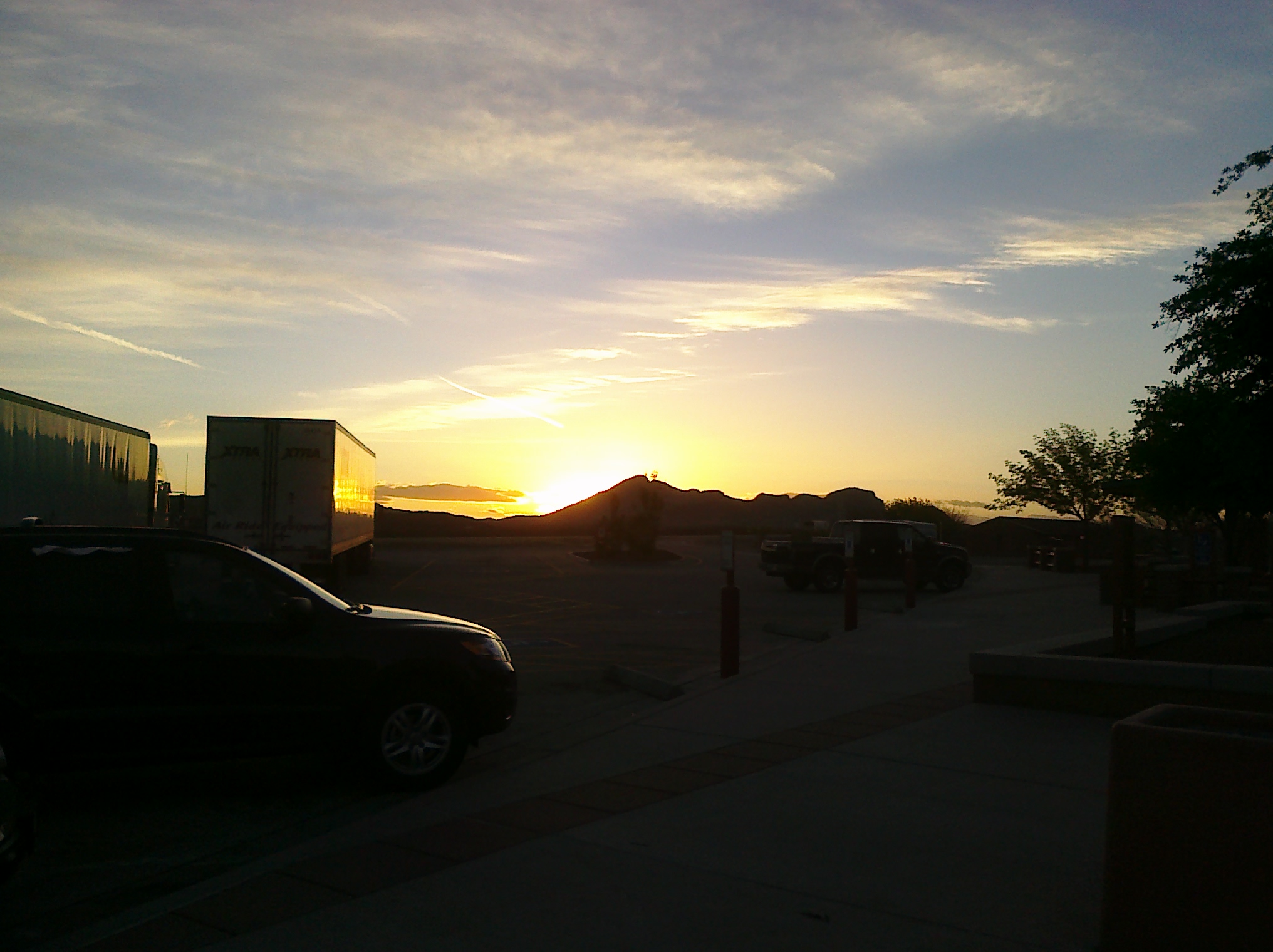
San Simon, AZ (Rest Area) (Interstate 10)

San Simon, AZ (Rest Area) (Interstate 10)

San Simon Rest Area (Interstate 10) (Arizona)

San Simon Rest Area (Interstate 10) (Arizona)

San Simon Rest Area (Interstate 10) (Arizona)

San Simon Rest Area (Interstate 10) (Arizona)

San Simon Rest Area (Interstate 10) (Arizona)
West Charles Lane, W Charles Ln, San Simon, AZ, USA Karte
Suchen Sie einen anderen Ort
Nahe Plätze
San Simon, AZ, USA
Fort Bowie Ranger Station & Visitor Center, Bowie, AZ, USA
E Business Loop, Bowie, AZ, USA
Bowie, AZ, USA
San Simon Cienega, New Mexico, USA
Chiricahua National Monument, E Bonita Canyon Rd, Willcox, AZ, USA
S Trogon Ln, San Simon, AZ, USA
Bonita Canyon Campground (npsrecgovdata), E Rhyolite Creek Rd, Willcox, AZ, USA
Chiricahua National Monument Visitor Center, E Rhyolite Creek Rd, Willcox, AZ, USA
Blue Mountain, New Mexico, USA
East Bonita Canyon Road, E Bonita Canyon Rd, Willcox, AZ, USA
S Timberline Dr, San Simon, AZ, USA
Paradise, AZ, USA
Pinery Canyon Campground, Forest Road 42, San Simon, AZ, USA
S Cathedral Rock Rd, San Simon, AZ, USA
Silver Peak, Arizona, USA
Portal, AZ, USA
S Rock House Rd, Portal, AZ, USA
Dos Cabezas Peaks, Arizona, USA
Portal Rd, Portal, AZ, USA
Letzte Suche
- W Granada St, Tampa, FL, USA Sonnenaufgang Sonnenuntergang Zeiten
- Jalapa, Oaxaca, Mexiko Sonnenaufgang Sonnenuntergang Zeiten
- Pykes Down, Ivybridge PL21 0BY, UK Sonnenaufgang Sonnenuntergang Zeiten
- Wuzhi Mountain, Wuzhishan City, China Sonnenaufgang Sonnenuntergang Zeiten
- Ehenbichl, Österreich Sonnenaufgang Sonnenuntergang Zeiten
- Bilohirsk Sonnenaufgang Sonnenuntergang Zeiten
- Nedre Storvollen, Kvaløysletta, Norwegen Sonnenaufgang Sonnenuntergang Zeiten
- Unnamed Road, Respublika Severnaya Osetiya — Alaniya, Russia Sonnenaufgang Sonnenuntergang Zeiten
- Herbage Dr, Gulfport, MS, USA Sonnenaufgang Sonnenuntergang Zeiten
- Pointe-au-Père, Rimouski, Québec, Kanada Sonnenaufgang Sonnenuntergang Zeiten