Sunlight Rd, Cody, WY 美國的日出日落時間表
Location: 美國 > 懷俄明州 > 帕克郡 > 美國懷俄明州科迪 >
時區:
America/Denver
當地時間:
2024-04-30 01:58:08
經度:
-109.448593
緯度:
44.7536119
今天日出時間:
06:07:26 AM
今天日落時間:
08:22:21 PM
今天日照時長:
14h 14m 55s
明天日出時間:
06:05:59 AM
明天日落時間:
08:23:35 PM
明天日照時長:
14h 17m 36s
顯示所有日期
| 日期 | 日出 | 日落 | 日照時長 |
|---|---|---|---|
| 2024年01月01日 | 07:55:04 AM | 04:48:12 PM | 8h 53m 8s |
| 2024年01月02日 | 07:55:04 AM | 04:49:08 PM | 8h 54m 4s |
| 2024年01月03日 | 07:55:01 AM | 04:50:06 PM | 8h 55m 5s |
| 2024年01月04日 | 07:54:55 AM | 04:51:05 PM | 8h 56m 10s |
| 2024年01月05日 | 07:54:47 AM | 04:52:07 PM | 8h 57m 20s |
| 2024年01月06日 | 07:54:37 AM | 04:53:10 PM | 8h 58m 33s |
| 2024年01月07日 | 07:54:23 AM | 04:54:14 PM | 8h 59m 51s |
| 2024年01月08日 | 07:54:08 AM | 04:55:20 PM | 9h 1m 12s |
| 2024年01月09日 | 07:53:49 AM | 04:56:28 PM | 9h 2m 39s |
| 2024年01月10日 | 07:53:29 AM | 04:57:37 PM | 9h 4m 8s |
| 2024年01月11日 | 07:53:05 AM | 04:58:47 PM | 9h 5m 42s |
| 2024年01月12日 | 07:52:39 AM | 04:59:59 PM | 9h 7m 20s |
| 2024年01月13日 | 07:52:11 AM | 05:01:12 PM | 9h 9m 1s |
| 2024年01月14日 | 07:51:40 AM | 05:02:26 PM | 9h 10m 46s |
| 2024年01月15日 | 07:51:07 AM | 05:03:41 PM | 9h 12m 34s |
| 2024年01月16日 | 07:50:31 AM | 05:04:57 PM | 9h 14m 26s |
| 2024年01月17日 | 07:49:54 AM | 05:06:14 PM | 9h 16m 20s |
| 2024年01月18日 | 07:49:13 AM | 05:07:32 PM | 9h 18m 19s |
| 2024年01月19日 | 07:48:31 AM | 05:08:51 PM | 9h 20m 20s |
| 2024年01月20日 | 07:47:46 AM | 05:10:10 PM | 9h 22m 24s |
| 2024年01月21日 | 07:46:59 AM | 05:11:31 PM | 9h 24m 32s |
| 2024年01月22日 | 07:46:09 AM | 05:12:52 PM | 9h 26m 43s |
| 2024年01月23日 | 07:45:18 AM | 05:14:13 PM | 9h 28m 55s |
| 2024年01月24日 | 07:44:24 AM | 05:15:36 PM | 9h 31m 12s |
| 2024年01月25日 | 07:43:28 AM | 05:16:58 PM | 9h 33m 30s |
| 2024年01月26日 | 07:42:31 AM | 05:18:21 PM | 9h 35m 50s |
| 2024年01月27日 | 07:41:31 AM | 05:19:45 PM | 9h 38m 14s |
| 2024年01月28日 | 07:40:29 AM | 05:21:09 PM | 9h 40m 40s |
| 2024年01月29日 | 07:39:25 AM | 05:22:33 PM | 9h 43m 8s |
| 2024年01月30日 | 07:38:20 AM | 05:23:58 PM | 9h 45m 38s |
| 2024年01月31日 | 07:37:12 AM | 05:25:22 PM | 9h 48m 10s |
| 2024年02月01日 | 07:36:03 AM | 05:26:47 PM | 9h 50m 44s |
| 2024年02月02日 | 07:34:52 AM | 05:28:13 PM | 9h 53m 21s |
| 2024年02月03日 | 07:33:39 AM | 05:29:38 PM | 9h 55m 59s |
| 2024年02月04日 | 07:32:24 AM | 05:31:03 PM | 9h 58m 39s |
| 2024年02月05日 | 07:31:08 AM | 05:32:28 PM | 10h 1m 20s |
| 2024年02月06日 | 07:29:50 AM | 05:33:54 PM | 10h 4m 4s |
| 2024年02月07日 | 07:28:31 AM | 05:35:19 PM | 10h 6m 48s |
| 2024年02月08日 | 07:27:10 AM | 05:36:44 PM | 10h 9m 34s |
| 2024年02月09日 | 07:25:47 AM | 05:38:09 PM | 10h 12m 22s |
| 2024年02月10日 | 07:24:24 AM | 05:39:35 PM | 10h 15m 11s |
| 2024年02月11日 | 07:22:58 AM | 05:41:00 PM | 10h 18m 2s |
| 2024年02月12日 | 07:21:32 AM | 05:42:24 PM | 10h 20m 52s |
| 2024年02月13日 | 07:20:04 AM | 05:43:49 PM | 10h 23m 45s |
| 2024年02月14日 | 07:18:34 AM | 05:45:14 PM | 10h 26m 40s |
| 2024年02月15日 | 07:17:04 AM | 05:46:38 PM | 10h 29m 34s |
| 2024年02月16日 | 07:15:32 AM | 05:48:02 PM | 10h 32m 30s |
| 2024年02月17日 | 07:13:59 AM | 05:49:26 PM | 10h 35m 27s |
| 2024年02月18日 | 07:12:25 AM | 05:50:49 PM | 10h 38m 24s |
| 2024年02月19日 | 07:10:50 AM | 05:52:13 PM | 10h 41m 23s |
| 2024年02月20日 | 07:09:14 AM | 05:53:36 PM | 10h 44m 22s |
| 2024年02月21日 | 07:07:36 AM | 05:54:59 PM | 10h 47m 23s |
| 2024年02月22日 | 07:05:58 AM | 05:56:22 PM | 10h 50m 24s |
| 2024年02月23日 | 07:04:19 AM | 05:57:44 PM | 10h 53m 25s |
| 2024年02月24日 | 07:02:39 AM | 05:59:06 PM | 10h 56m 27s |
| 2024年02月25日 | 07:00:58 AM | 06:00:28 PM | 10h 59m 30s |
| 2024年02月26日 | 06:59:16 AM | 06:01:49 PM | 11h 2m 33s |
| 2024年02月27日 | 06:57:33 AM | 06:03:10 PM | 11h 5m 37s |
| 2024年02月28日 | 06:55:50 AM | 06:04:31 PM | 11h 8m 41s |
| 2024年02月29日 | 06:54:06 AM | 06:05:52 PM | 11h 11m 46s |
| 2024年03月01日 | 06:52:21 AM | 06:07:12 PM | 11h 14m 51s |
| 2024年03月02日 | 06:50:35 AM | 06:08:32 PM | 11h 17m 57s |
| 2024年03月03日 | 06:48:49 AM | 06:09:52 PM | 11h 21m 3s |
| 2024年03月04日 | 06:47:02 AM | 06:11:12 PM | 11h 24m 10s |
| 2024年03月05日 | 06:45:15 AM | 06:12:31 PM | 11h 27m 16s |
| 2024年03月06日 | 06:43:27 AM | 06:13:50 PM | 11h 30m 23s |
| 2024年03月07日 | 06:41:39 AM | 06:15:09 PM | 11h 33m 30s |
| 2024年03月08日 | 06:39:50 AM | 06:16:27 PM | 11h 36m 37s |
| 2024年03月09日 | 06:38:01 AM | 06:17:45 PM | 11h 39m 44s |
| 2024年03月10日 | 07:36:16 AM | 07:19:00 PM | 11h 42m 44s |
| 2024年03月11日 | 07:34:26 AM | 07:20:18 PM | 11h 45m 52s |
| 2024年03月12日 | 07:32:36 AM | 07:21:36 PM | 11h 49m 0s |
| 2024年03月13日 | 07:30:45 AM | 07:22:53 PM | 11h 52m 8s |
| 2024年03月14日 | 07:28:54 AM | 07:24:10 PM | 11h 55m 16s |
| 2024年03月15日 | 07:27:03 AM | 07:25:27 PM | 11h 58m 24s |
| 2024年03月16日 | 07:25:12 AM | 07:26:44 PM | 12h 1m 32s |
| 2024年03月17日 | 07:23:20 AM | 07:28:01 PM | 12h 4m 41s |
| 2024年03月18日 | 07:21:28 AM | 07:29:17 PM | 12h 7m 49s |
| 2024年03月19日 | 07:19:37 AM | 07:30:33 PM | 12h 10m 56s |
| 2024年03月20日 | 07:17:45 AM | 07:31:49 PM | 12h 14m 4s |
| 2024年03月21日 | 07:15:53 AM | 07:33:05 PM | 12h 17m 12s |
| 2024年03月22日 | 07:14:01 AM | 07:34:21 PM | 12h 20m 20s |
| 2024年03月23日 | 07:12:09 AM | 07:35:37 PM | 12h 23m 28s |
| 2024年03月24日 | 07:10:17 AM | 07:36:53 PM | 12h 26m 36s |
| 2024年03月25日 | 07:08:25 AM | 07:38:08 PM | 12h 29m 43s |
| 2024年03月26日 | 07:06:34 AM | 07:39:24 PM | 12h 32m 50s |
| 2024年03月27日 | 07:04:42 AM | 07:40:39 PM | 12h 35m 57s |
| 2024年03月28日 | 07:02:51 AM | 07:41:55 PM | 12h 39m 4s |
| 2024年03月29日 | 07:01:00 AM | 07:43:10 PM | 12h 42m 10s |
| 2024年03月30日 | 06:59:09 AM | 07:44:25 PM | 12h 45m 16s |
| 2024年03月31日 | 06:57:18 AM | 07:45:40 PM | 12h 48m 22s |
| 2024年04月01日 | 06:55:27 AM | 07:46:55 PM | 12h 51m 28s |
| 2024年04月02日 | 06:53:37 AM | 07:48:11 PM | 12h 54m 34s |
| 2024年04月03日 | 06:51:47 AM | 07:49:26 PM | 12h 57m 39s |
| 2024年04月04日 | 06:49:58 AM | 07:50:41 PM | 13h 0m 43s |
| 2024年04月05日 | 06:48:09 AM | 07:51:56 PM | 13h 3m 47s |
| 2024年04月06日 | 06:46:21 AM | 07:53:11 PM | 13h 6m 50s |
| 2024年04月07日 | 06:44:32 AM | 07:54:26 PM | 13h 9m 54s |
| 2024年04月08日 | 06:42:45 AM | 07:55:41 PM | 13h 12m 56s |
| 2024年04月09日 | 06:40:58 AM | 07:56:56 PM | 13h 15m 58s |
| 2024年04月10日 | 06:39:11 AM | 07:58:11 PM | 13h 19m 0s |
| 2024年04月11日 | 06:37:26 AM | 07:59:26 PM | 13h 22m 0s |
| 2024年04月12日 | 06:35:40 AM | 08:00:41 PM | 13h 25m 1s |
| 2024年04月13日 | 06:33:56 AM | 08:01:56 PM | 13h 28m 0s |
| 2024年04月14日 | 06:32:12 AM | 08:03:11 PM | 13h 30m 59s |
| 2024年04月15日 | 06:30:29 AM | 08:04:26 PM | 13h 33m 57s |
| 2024年04月16日 | 06:28:47 AM | 08:05:41 PM | 13h 36m 54s |
| 2024年04月17日 | 06:27:05 AM | 08:06:56 PM | 13h 39m 51s |
| 2024年04月18日 | 06:25:25 AM | 08:08:11 PM | 13h 42m 46s |
| 2024年04月19日 | 06:23:45 AM | 08:09:26 PM | 13h 45m 41s |
| 2024年04月20日 | 06:22:06 AM | 08:10:41 PM | 13h 48m 35s |
| 2024年04月21日 | 06:20:28 AM | 08:11:55 PM | 13h 51m 27s |
| 2024年04月22日 | 06:18:51 AM | 08:13:10 PM | 13h 54m 19s |
| 2024年04月23日 | 06:17:15 AM | 08:14:25 PM | 13h 57m 10s |
| 2024年04月24日 | 06:15:40 AM | 08:15:39 PM | 13h 59m 59s |
| 2024年04月25日 | 06:14:06 AM | 08:16:54 PM | 14h 2m 48s |
| 2024年04月26日 | 06:12:34 AM | 08:18:08 PM | 14h 5m 34s |
| 2024年04月27日 | 06:11:02 AM | 08:19:23 PM | 14h 8m 21s |
| 2024年04月28日 | 06:09:32 AM | 08:20:37 PM | 14h 11m 5s |
| 2024年04月29日 | 06:08:03 AM | 08:21:51 PM | 14h 13m 48s |
| 2024年04月30日 | 06:06:35 AM | 08:23:04 PM | 14h 16m 29s |
| 2024年05月01日 | 06:05:08 AM | 08:24:18 PM | 14h 19m 10s |
| 2024年05月02日 | 06:03:43 AM | 08:25:31 PM | 14h 21m 48s |
| 2024年05月03日 | 06:02:19 AM | 08:26:44 PM | 14h 24m 25s |
| 2024年05月04日 | 06:00:57 AM | 08:27:57 PM | 14h 27m 0s |
| 2024年05月05日 | 05:59:36 AM | 08:29:09 PM | 14h 29m 33s |
| 2024年05月06日 | 05:58:16 AM | 08:30:21 PM | 14h 32m 5s |
| 2024年05月07日 | 05:56:58 AM | 08:31:33 PM | 14h 34m 35s |
| 2024年05月08日 | 05:55:42 AM | 08:32:45 PM | 14h 37m 3s |
| 2024年05月09日 | 05:54:27 AM | 08:33:55 PM | 14h 39m 28s |
| 2024年05月10日 | 05:53:13 AM | 08:35:06 PM | 14h 41m 53s |
| 2024年05月11日 | 05:52:02 AM | 08:36:16 PM | 14h 44m 14s |
| 2024年05月12日 | 05:50:52 AM | 08:37:25 PM | 14h 46m 33s |
| 2024年05月13日 | 05:49:44 AM | 08:38:34 PM | 14h 48m 50s |
| 2024年05月14日 | 05:48:37 AM | 08:39:42 PM | 14h 51m 5s |
| 2024年05月15日 | 05:47:33 AM | 08:40:49 PM | 14h 53m 16s |
| 2024年05月16日 | 05:46:30 AM | 08:41:56 PM | 14h 55m 26s |
| 2024年05月17日 | 05:45:29 AM | 08:43:02 PM | 14h 57m 33s |
| 2024年05月18日 | 05:44:30 AM | 08:44:07 PM | 14h 59m 37s |
| 2024年05月19日 | 05:43:33 AM | 08:45:11 PM | 15h 1m 38s |
| 2024年05月20日 | 05:42:37 AM | 08:46:15 PM | 15h 3m 38s |
| 2024年05月21日 | 05:41:44 AM | 08:47:17 PM | 15h 5m 33s |
| 2024年05月22日 | 05:40:53 AM | 08:48:19 PM | 15h 7m 26s |
| 2024年05月23日 | 05:40:04 AM | 08:49:19 PM | 15h 9m 15s |
| 2024年05月24日 | 05:39:17 AM | 08:50:19 PM | 15h 11m 2s |
| 2024年05月25日 | 05:38:32 AM | 08:51:17 PM | 15h 12m 45s |
| 2024年05月26日 | 05:37:49 AM | 08:52:14 PM | 15h 14m 25s |
| 2024年05月27日 | 05:37:08 AM | 08:53:10 PM | 15h 16m 2s |
| 2024年05月28日 | 05:36:30 AM | 08:54:05 PM | 15h 17m 35s |
| 2024年05月29日 | 05:35:54 AM | 08:54:58 PM | 15h 19m 4s |
| 2024年05月30日 | 05:35:19 AM | 08:55:50 PM | 15h 20m 31s |
| 2024年05月31日 | 05:34:47 AM | 08:56:40 PM | 15h 21m 53s |
| 2024年06月01日 | 05:34:18 AM | 08:57:29 PM | 15h 23m 11s |
| 2024年06月02日 | 05:33:50 AM | 08:58:17 PM | 15h 24m 27s |
| 2024年06月03日 | 05:33:25 AM | 08:59:03 PM | 15h 25m 38s |
| 2024年06月04日 | 05:33:02 AM | 08:59:47 PM | 15h 26m 45s |
| 2024年06月05日 | 05:32:42 AM | 09:00:30 PM | 15h 27m 48s |
| 2024年06月06日 | 05:32:24 AM | 09:01:10 PM | 15h 28m 46s |
| 2024年06月07日 | 05:32:08 AM | 09:01:50 PM | 15h 29m 42s |
| 2024年06月08日 | 05:31:54 AM | 09:02:27 PM | 15h 30m 33s |
| 2024年06月09日 | 05:31:43 AM | 09:03:02 PM | 15h 31m 19s |
| 2024年06月10日 | 05:31:34 AM | 09:03:36 PM | 15h 32m 2s |
| 2024年06月11日 | 05:31:27 AM | 09:04:07 PM | 15h 32m 40s |
| 2024年06月12日 | 05:31:22 AM | 09:04:37 PM | 15h 33m 15s |
| 2024年06月13日 | 05:31:20 AM | 09:05:05 PM | 15h 33m 45s |
| 2024年06月14日 | 05:31:20 AM | 09:05:30 PM | 15h 34m 10s |
| 2024年06月15日 | 05:31:23 AM | 09:05:54 PM | 15h 34m 31s |
| 2024年06月16日 | 05:31:27 AM | 09:06:15 PM | 15h 34m 48s |
| 2024年06月17日 | 05:31:34 AM | 09:06:34 PM | 15h 35m 0s |
| 2024年06月18日 | 05:31:43 AM | 09:06:51 PM | 15h 35m 8s |
| 2024年06月19日 | 05:31:55 AM | 09:07:06 PM | 15h 35m 11s |
| 2024年06月20日 | 05:32:08 AM | 09:07:19 PM | 15h 35m 11s |
| 2024年06月21日 | 05:32:24 AM | 09:07:29 PM | 15h 35m 5s |
| 2024年06月22日 | 05:32:42 AM | 09:07:37 PM | 15h 34m 55s |
| 2024年06月23日 | 05:33:02 AM | 09:07:43 PM | 15h 34m 41s |
| 2024年06月24日 | 05:33:23 AM | 09:07:47 PM | 15h 34m 24s |
| 2024年06月25日 | 05:33:47 AM | 09:07:48 PM | 15h 34m 1s |
| 2024年06月26日 | 05:34:13 AM | 09:07:47 PM | 15h 33m 34s |
| 2024年06月27日 | 05:34:41 AM | 09:07:43 PM | 15h 33m 2s |
| 2024年06月28日 | 05:35:11 AM | 09:07:38 PM | 15h 32m 27s |
| 2024年06月29日 | 05:35:43 AM | 09:07:29 PM | 15h 31m 46s |
| 2024年06月30日 | 05:36:16 AM | 09:07:19 PM | 15h 31m 3s |
| 2024年07月01日 | 05:36:52 AM | 09:07:06 PM | 15h 30m 14s |
| 2024年07月02日 | 05:37:29 AM | 09:06:51 PM | 15h 29m 22s |
| 2024年07月03日 | 05:38:08 AM | 09:06:33 PM | 15h 28m 25s |
| 2024年07月04日 | 05:38:48 AM | 09:06:13 PM | 15h 27m 25s |
| 2024年07月05日 | 05:39:30 AM | 09:05:51 PM | 15h 26m 21s |
| 2024年07月06日 | 05:40:14 AM | 09:05:27 PM | 15h 25m 13s |
| 2024年07月07日 | 05:40:59 AM | 09:05:00 PM | 15h 24m 1s |
| 2024年07月08日 | 05:41:46 AM | 09:04:31 PM | 15h 22m 45s |
| 2024年07月09日 | 05:42:34 AM | 09:03:59 PM | 15h 21m 25s |
| 2024年07月10日 | 05:43:23 AM | 09:03:25 PM | 15h 20m 2s |
| 2024年07月11日 | 05:44:14 AM | 09:02:49 PM | 15h 18m 35s |
| 2024年07月12日 | 05:45:06 AM | 09:02:11 PM | 15h 17m 5s |
| 2024年07月13日 | 05:46:00 AM | 09:01:31 PM | 15h 15m 31s |
| 2024年07月14日 | 05:46:54 AM | 09:00:48 PM | 15h 13m 54s |
| 2024年07月15日 | 05:47:50 AM | 09:00:04 PM | 15h 12m 14s |
| 2024年07月16日 | 05:48:46 AM | 08:59:17 PM | 15h 10m 31s |
| 2024年07月17日 | 05:49:44 AM | 08:58:28 PM | 15h 8m 44s |
| 2024年07月18日 | 05:50:43 AM | 08:57:37 PM | 15h 6m 54s |
| 2024年07月19日 | 05:51:43 AM | 08:56:44 PM | 15h 5m 1s |
| 2024年07月20日 | 05:52:43 AM | 08:55:48 PM | 15h 3m 5s |
| 2024年07月21日 | 05:53:44 AM | 08:54:51 PM | 15h 1m 7s |
| 2024年07月22日 | 05:54:47 AM | 08:53:52 PM | 14h 59m 5s |
| 2024年07月23日 | 05:55:50 AM | 08:52:51 PM | 14h 57m 1s |
| 2024年07月24日 | 05:56:53 AM | 08:51:48 PM | 14h 54m 55s |
| 2024年07月25日 | 05:57:57 AM | 08:50:44 PM | 14h 52m 47s |
| 2024年07月26日 | 05:59:02 AM | 08:49:37 PM | 14h 50m 35s |
| 2024年07月27日 | 06:00:08 AM | 08:48:29 PM | 14h 48m 21s |
| 2024年07月28日 | 06:01:14 AM | 08:47:19 PM | 14h 46m 5s |
| 2024年07月29日 | 06:02:20 AM | 08:46:07 PM | 14h 43m 47s |
| 2024年07月30日 | 06:03:28 AM | 08:44:53 PM | 14h 41m 25s |
| 2024年07月31日 | 06:04:35 AM | 08:43:38 PM | 14h 39m 3s |
| 2024年08月01日 | 06:05:43 AM | 08:42:21 PM | 14h 36m 38s |
| 2024年08月02日 | 06:06:51 AM | 08:41:03 PM | 14h 34m 12s |
| 2024年08月03日 | 06:08:00 AM | 08:39:43 PM | 14h 31m 43s |
| 2024年08月04日 | 06:09:08 AM | 08:38:22 PM | 14h 29m 14s |
| 2024年08月05日 | 06:10:18 AM | 08:36:59 PM | 14h 26m 41s |
| 2024年08月06日 | 06:11:27 AM | 08:35:34 PM | 14h 24m 7s |
| 2024年08月07日 | 06:12:37 AM | 08:34:09 PM | 14h 21m 32s |
| 2024年08月08日 | 06:13:46 AM | 08:32:42 PM | 14h 18m 56s |
| 2024年08月09日 | 06:14:56 AM | 08:31:13 PM | 14h 16m 17s |
| 2024年08月10日 | 06:16:07 AM | 08:29:44 PM | 14h 13m 37s |
| 2024年08月11日 | 06:17:17 AM | 08:28:13 PM | 14h 10m 56s |
| 2024年08月12日 | 06:18:27 AM | 08:26:40 PM | 14h 8m 13s |
| 2024年08月13日 | 06:19:38 AM | 08:25:07 PM | 14h 5m 29s |
| 2024年08月14日 | 06:20:48 AM | 08:23:33 PM | 14h 2m 45s |
| 2024年08月15日 | 06:21:59 AM | 08:21:57 PM | 13h 59m 58s |
| 2024年08月16日 | 06:23:10 AM | 08:20:20 PM | 13h 57m 10s |
| 2024年08月17日 | 06:24:20 AM | 08:18:43 PM | 13h 54m 23s |
| 2024年08月18日 | 06:25:31 AM | 08:17:04 PM | 13h 51m 33s |
| 2024年08月19日 | 06:26:42 AM | 08:15:24 PM | 13h 48m 42s |
| 2024年08月20日 | 06:27:53 AM | 08:13:44 PM | 13h 45m 51s |
| 2024年08月21日 | 06:29:03 AM | 08:12:02 PM | 13h 42m 59s |
| 2024年08月22日 | 06:30:14 AM | 08:10:20 PM | 13h 40m 6s |
| 2024年08月23日 | 06:31:25 AM | 08:08:36 PM | 13h 37m 11s |
| 2024年08月24日 | 06:32:36 AM | 08:06:52 PM | 13h 34m 16s |
| 2024年08月25日 | 06:33:46 AM | 08:05:07 PM | 13h 31m 21s |
| 2024年08月26日 | 06:34:57 AM | 08:03:22 PM | 13h 28m 25s |
| 2024年08月27日 | 06:36:08 AM | 08:01:36 PM | 13h 25m 28s |
| 2024年08月28日 | 06:37:18 AM | 07:59:49 PM | 13h 22m 31s |
| 2024年08月29日 | 06:38:29 AM | 07:58:01 PM | 13h 19m 32s |
| 2024年08月30日 | 06:39:39 AM | 07:56:13 PM | 13h 16m 34s |
| 2024年08月31日 | 06:40:50 AM | 07:54:24 PM | 13h 13m 34s |
| 2024年09月01日 | 06:42:00 AM | 07:52:35 PM | 13h 10m 35s |
| 2024年09月02日 | 06:43:11 AM | 07:50:45 PM | 13h 7m 34s |
| 2024年09月03日 | 06:44:21 AM | 07:48:55 PM | 13h 4m 34s |
| 2024年09月04日 | 06:45:32 AM | 07:47:04 PM | 13h 1m 32s |
| 2024年09月05日 | 06:46:42 AM | 07:45:13 PM | 12h 58m 31s |
| 2024年09月06日 | 06:47:53 AM | 07:43:21 PM | 12h 55m 28s |
| 2024年09月07日 | 06:49:03 AM | 07:41:29 PM | 12h 52m 26s |
| 2024年09月08日 | 06:50:14 AM | 07:39:37 PM | 12h 49m 23s |
| 2024年09月09日 | 06:51:24 AM | 07:37:45 PM | 12h 46m 21s |
| 2024年09月10日 | 06:52:35 AM | 07:35:52 PM | 12h 43m 17s |
| 2024年09月11日 | 06:53:45 AM | 07:33:59 PM | 12h 40m 14s |
| 2024年09月12日 | 06:54:56 AM | 07:32:06 PM | 12h 37m 10s |
| 2024年09月13日 | 06:56:06 AM | 07:30:12 PM | 12h 34m 6s |
| 2024年09月14日 | 06:57:17 AM | 07:28:19 PM | 12h 31m 2s |
| 2024年09月15日 | 06:58:28 AM | 07:26:25 PM | 12h 27m 57s |
| 2024年09月16日 | 06:59:39 AM | 07:24:31 PM | 12h 24m 52s |
| 2024年09月17日 | 07:00:50 AM | 07:22:37 PM | 12h 21m 47s |
| 2024年09月18日 | 07:02:01 AM | 07:20:44 PM | 12h 18m 43s |
| 2024年09月19日 | 07:03:12 AM | 07:18:50 PM | 12h 15m 38s |
| 2024年09月20日 | 07:04:23 AM | 07:16:56 PM | 12h 12m 33s |
| 2024年09月21日 | 07:05:35 AM | 07:15:02 PM | 12h 9m 27s |
| 2024年09月22日 | 07:06:46 AM | 07:13:09 PM | 12h 6m 23s |
| 2024年09月23日 | 07:07:58 AM | 07:11:15 PM | 12h 3m 17s |
| 2024年09月24日 | 07:09:10 AM | 07:09:22 PM | 12h 0m 12s |
| 2024年09月25日 | 07:10:22 AM | 07:07:28 PM | 11h 57m 6s |
| 2024年09月26日 | 07:11:34 AM | 07:05:36 PM | 11h 54m 2s |
| 2024年09月27日 | 07:12:47 AM | 07:03:43 PM | 11h 50m 56s |
| 2024年09月28日 | 07:13:59 AM | 07:01:50 PM | 11h 47m 51s |
| 2024年09月29日 | 07:15:12 AM | 06:59:58 PM | 11h 44m 46s |
| 2024年09月30日 | 07:16:25 AM | 06:58:07 PM | 11h 41m 42s |
| 2024年10月01日 | 07:17:39 AM | 06:56:15 PM | 11h 38m 36s |
| 2024年10月02日 | 07:18:52 AM | 06:54:24 PM | 11h 35m 32s |
| 2024年10月03日 | 07:20:06 AM | 06:52:34 PM | 11h 32m 28s |
| 2024年10月04日 | 07:21:20 AM | 06:50:44 PM | 11h 29m 24s |
| 2024年10月05日 | 07:22:35 AM | 06:48:54 PM | 11h 26m 19s |
| 2024年10月06日 | 07:23:49 AM | 06:47:05 PM | 11h 23m 16s |
| 2024年10月07日 | 07:25:04 AM | 06:45:16 PM | 11h 20m 12s |
| 2024年10月08日 | 07:26:19 AM | 06:43:28 PM | 11h 17m 9s |
| 2024年10月09日 | 07:27:35 AM | 06:41:41 PM | 11h 14m 6s |
| 2024年10月10日 | 07:28:51 AM | 06:39:55 PM | 11h 11m 4s |
| 2024年10月11日 | 07:30:07 AM | 06:38:09 PM | 11h 8m 2s |
| 2024年10月12日 | 07:31:23 AM | 06:36:24 PM | 11h 5m 1s |
| 2024年10月13日 | 07:32:40 AM | 06:34:39 PM | 11h 1m 59s |
| 2024年10月14日 | 07:33:57 AM | 06:32:56 PM | 10h 58m 59s |
| 2024年10月15日 | 07:35:14 AM | 06:31:13 PM | 10h 55m 59s |
| 2024年10月16日 | 07:36:32 AM | 06:29:31 PM | 10h 52m 59s |
| 2024年10月17日 | 07:37:50 AM | 06:27:50 PM | 10h 50m 0s |
| 2024年10月18日 | 07:39:08 AM | 06:26:10 PM | 10h 47m 2s |
| 2024年10月19日 | 07:40:27 AM | 06:24:31 PM | 10h 44m 4s |
| 2024年10月20日 | 07:41:46 AM | 06:22:53 PM | 10h 41m 7s |
| 2024年10月21日 | 07:43:05 AM | 06:21:16 PM | 10h 38m 11s |
| 2024年10月22日 | 07:44:24 AM | 06:19:40 PM | 10h 35m 16s |
| 2024年10月23日 | 07:45:44 AM | 06:18:05 PM | 10h 32m 21s |
| 2024年10月24日 | 07:47:04 AM | 06:16:32 PM | 10h 29m 28s |
| 2024年10月25日 | 07:48:24 AM | 06:14:59 PM | 10h 26m 35s |
| 2024年10月26日 | 07:49:45 AM | 06:13:28 PM | 10h 23m 43s |
| 2024年10月27日 | 07:51:05 AM | 06:11:58 PM | 10h 20m 53s |
| 2024年10月28日 | 07:52:26 AM | 06:10:30 PM | 10h 18m 4s |
| 2024年10月29日 | 07:53:47 AM | 06:09:03 PM | 10h 15m 16s |
| 2024年10月30日 | 07:55:09 AM | 06:07:37 PM | 10h 12m 28s |
| 2024年10月31日 | 07:56:30 AM | 06:06:13 PM | 10h 9m 43s |
| 2024年11月01日 | 07:57:52 AM | 06:04:50 PM | 10h 6m 58s |
| 2024年11月02日 | 07:59:13 AM | 06:03:28 PM | 10h 4m 15s |
| 2024年11月03日 | 07:00:38 AM | 05:02:05 PM | 10h 1m 27s |
| 2024年11月04日 | 07:02:00 AM | 05:00:47 PM | 9h 58m 47s |
| 2024年11月05日 | 07:03:22 AM | 04:59:31 PM | 9h 56m 9s |
| 2024年11月06日 | 07:04:44 AM | 04:58:16 PM | 9h 53m 32s |
| 2024年11月07日 | 07:06:05 AM | 04:57:03 PM | 9h 50m 58s |
| 2024年11月08日 | 07:07:27 AM | 04:55:52 PM | 9h 48m 25s |
| 2024年11月09日 | 07:08:48 AM | 04:54:43 PM | 9h 45m 55s |
| 2024年11月10日 | 07:10:10 AM | 04:53:35 PM | 9h 43m 25s |
| 2024年11月11日 | 07:11:31 AM | 04:52:29 PM | 9h 40m 58s |
| 2024年11月12日 | 07:12:52 AM | 04:51:26 PM | 9h 38m 34s |
| 2024年11月13日 | 07:14:13 AM | 04:50:24 PM | 9h 36m 11s |
| 2024年11月14日 | 07:15:33 AM | 04:49:24 PM | 9h 33m 51s |
| 2024年11月15日 | 07:16:53 AM | 04:48:27 PM | 9h 31m 34s |
| 2024年11月16日 | 07:18:12 AM | 04:47:31 PM | 9h 29m 19s |
| 2024年11月17日 | 07:19:31 AM | 04:46:38 PM | 9h 27m 7s |
| 2024年11月18日 | 07:20:50 AM | 04:45:46 PM | 9h 24m 56s |
| 2024年11月19日 | 07:22:08 AM | 04:44:57 PM | 9h 22m 49s |
| 2024年11月20日 | 07:23:25 AM | 04:44:10 PM | 9h 20m 45s |
| 2024年11月21日 | 07:24:42 AM | 04:43:26 PM | 9h 18m 44s |
| 2024年11月22日 | 07:25:58 AM | 04:42:44 PM | 9h 16m 46s |
| 2024年11月23日 | 07:27:13 AM | 04:42:04 PM | 9h 14m 51s |
| 2024年11月24日 | 07:28:27 AM | 04:41:26 PM | 9h 12m 59s |
| 2024年11月25日 | 07:29:40 AM | 04:40:51 PM | 9h 11m 11s |
| 2024年11月26日 | 07:30:52 AM | 04:40:19 PM | 9h 9m 27s |
| 2024年11月27日 | 07:32:04 AM | 04:39:48 PM | 9h 7m 44s |
| 2024年11月28日 | 07:33:14 AM | 04:39:21 PM | 9h 6m 7s |
| 2024年11月29日 | 07:34:23 AM | 04:38:55 PM | 9h 4m 32s |
| 2024年11月30日 | 07:35:31 AM | 04:38:33 PM | 9h 3m 2s |
| 2024年12月01日 | 07:36:37 AM | 04:38:13 PM | 9h 1m 36s |
| 2024年12月02日 | 07:37:42 AM | 04:37:55 PM | 9h 0m 13s |
| 2024年12月03日 | 07:38:46 AM | 04:37:40 PM | 8h 58m 54s |
| 2024年12月04日 | 07:39:48 AM | 04:37:28 PM | 8h 57m 40s |
| 2024年12月05日 | 07:40:48 AM | 04:37:18 PM | 8h 56m 30s |
| 2024年12月06日 | 07:41:47 AM | 04:37:11 PM | 8h 55m 24s |
| 2024年12月07日 | 07:42:45 AM | 04:37:07 PM | 8h 54m 22s |
| 2024年12月08日 | 07:43:40 AM | 04:37:05 PM | 8h 53m 25s |
| 2024年12月09日 | 07:44:34 AM | 04:37:06 PM | 8h 52m 32s |
| 2024年12月10日 | 07:45:26 AM | 04:37:09 PM | 8h 51m 43s |
| 2024年12月11日 | 07:46:16 AM | 04:37:15 PM | 8h 50m 59s |
| 2024年12月12日 | 07:47:04 AM | 04:37:24 PM | 8h 50m 20s |
| 2024年12月13日 | 07:47:50 AM | 04:37:35 PM | 8h 49m 45s |
| 2024年12月14日 | 07:48:34 AM | 04:37:49 PM | 8h 49m 15s |
| 2024年12月15日 | 07:49:15 AM | 04:38:06 PM | 8h 48m 51s |
| 2024年12月16日 | 07:49:55 AM | 04:38:25 PM | 8h 48m 30s |
| 2024年12月17日 | 07:50:32 AM | 04:38:46 PM | 8h 48m 14s |
| 2024年12月18日 | 07:51:08 AM | 04:39:11 PM | 8h 48m 3s |
| 2024年12月19日 | 07:51:40 AM | 04:39:37 PM | 8h 47m 57s |
| 2024年12月20日 | 07:52:11 AM | 04:40:06 PM | 8h 47m 55s |
| 2024年12月21日 | 07:52:39 AM | 04:40:38 PM | 8h 47m 59s |
| 2024年12月22日 | 07:53:05 AM | 04:41:12 PM | 8h 48m 7s |
| 2024年12月23日 | 07:53:28 AM | 04:41:48 PM | 8h 48m 20s |
| 2024年12月24日 | 07:53:49 AM | 04:42:27 PM | 8h 48m 38s |
| 2024年12月25日 | 07:54:07 AM | 04:43:08 PM | 8h 49m 1s |
| 2024年12月26日 | 07:54:23 AM | 04:43:51 PM | 8h 49m 28s |
| 2024年12月27日 | 07:54:36 AM | 04:44:36 PM | 8h 50m 0s |
| 2024年12月28日 | 07:54:47 AM | 04:45:24 PM | 8h 50m 37s |
| 2024年12月29日 | 07:54:55 AM | 04:46:13 PM | 8h 51m 18s |
| 2024年12月30日 | 07:55:00 AM | 04:47:05 PM | 8h 52m 5s |
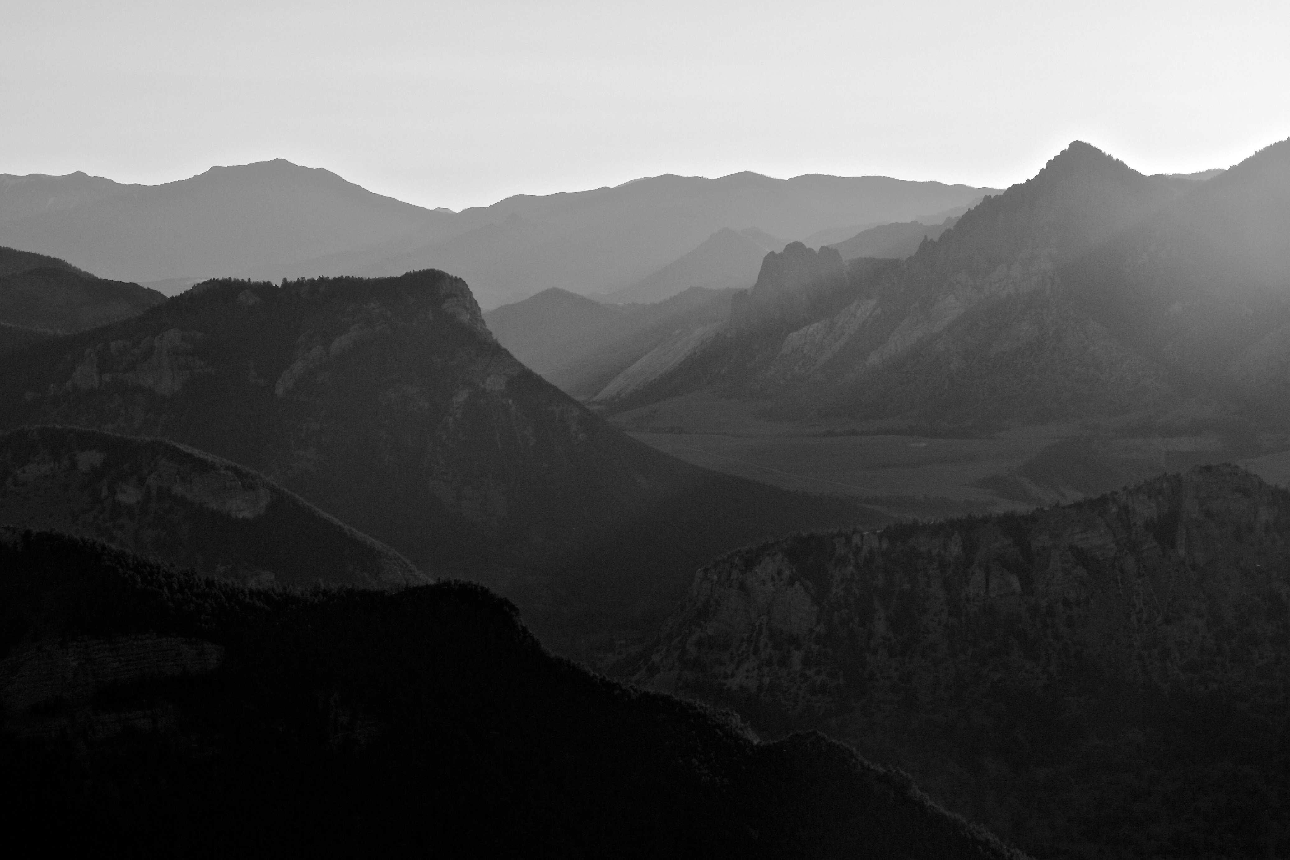
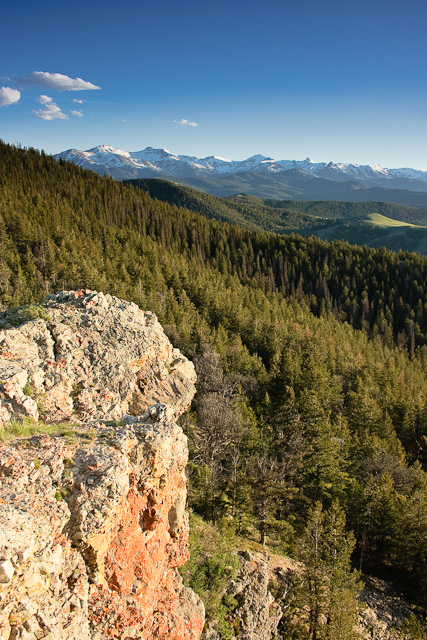
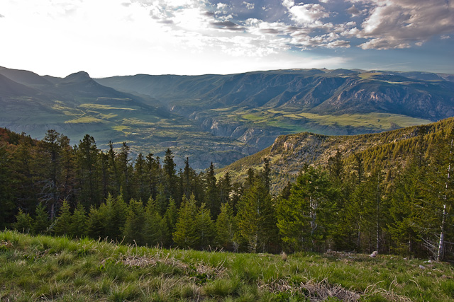
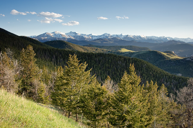
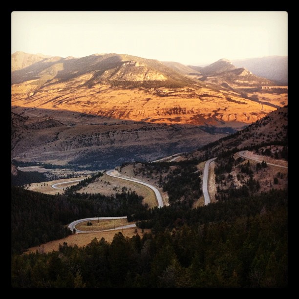
日出日落照片

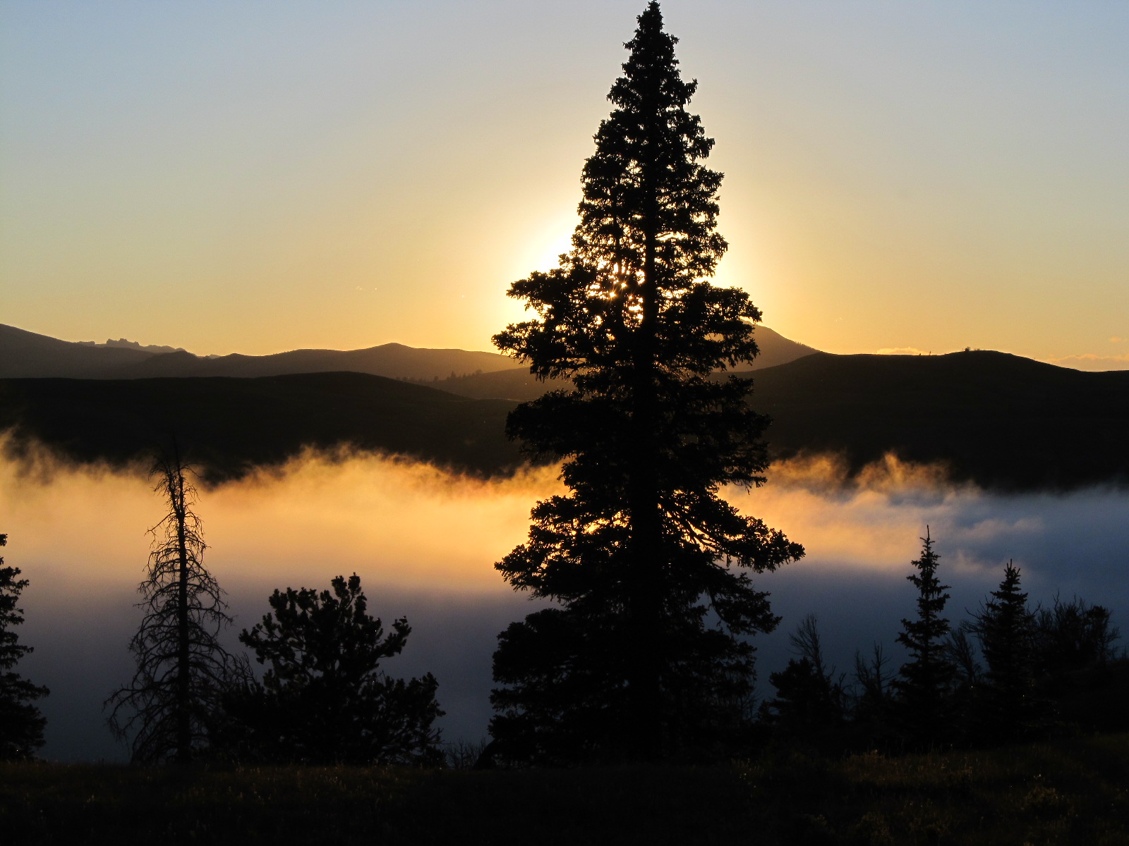
Sunset near Cody.
Wyoming Sunset
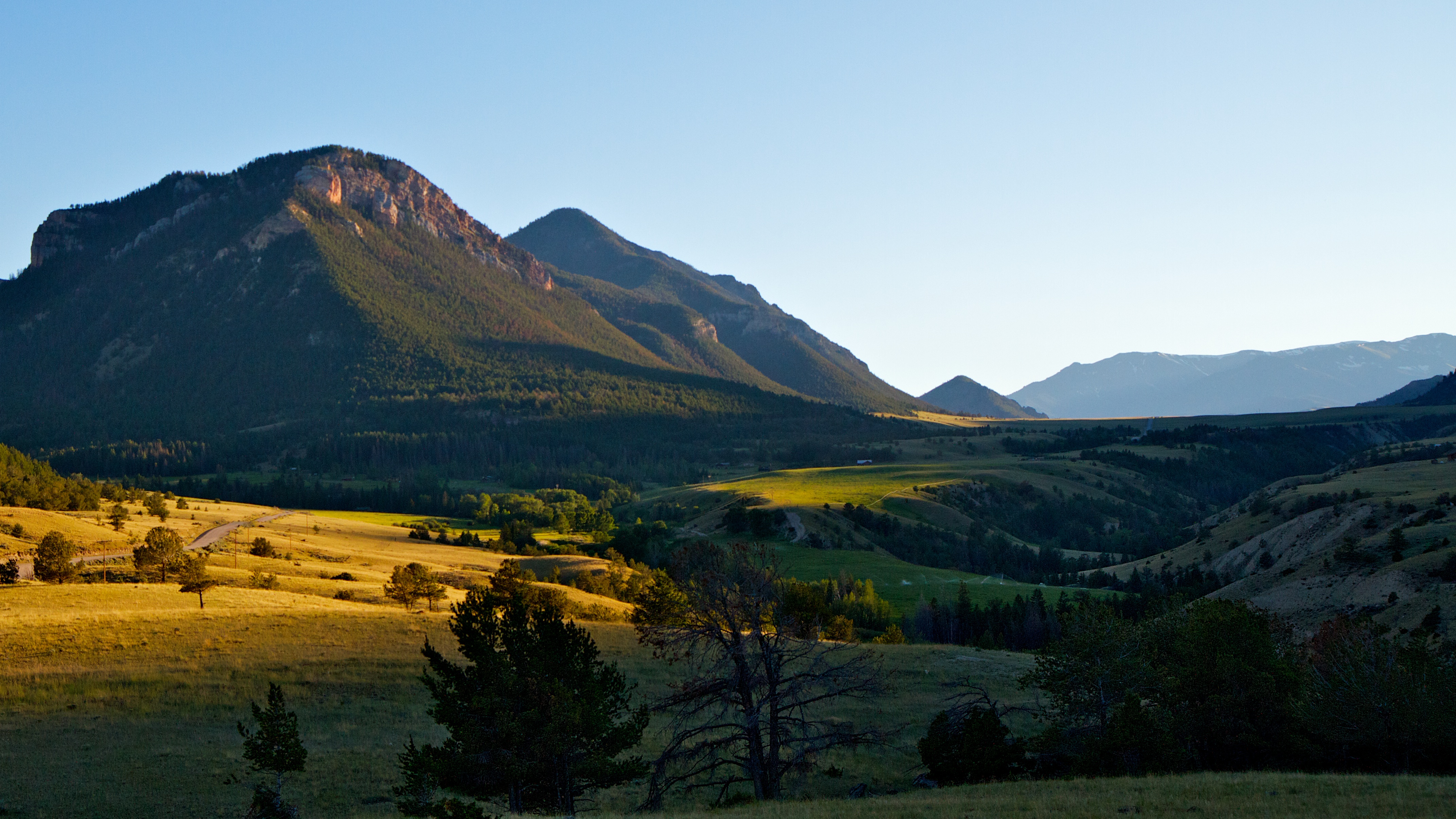
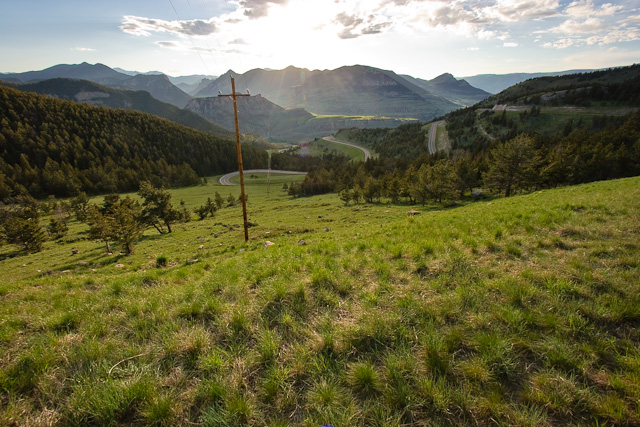
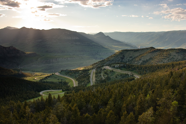
Chief Joseph Scenic Byway at sunset.
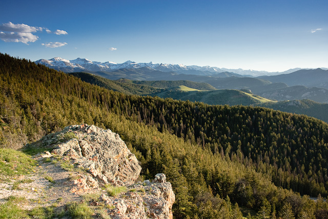
Painter Gulch, Absaroka Range, WY
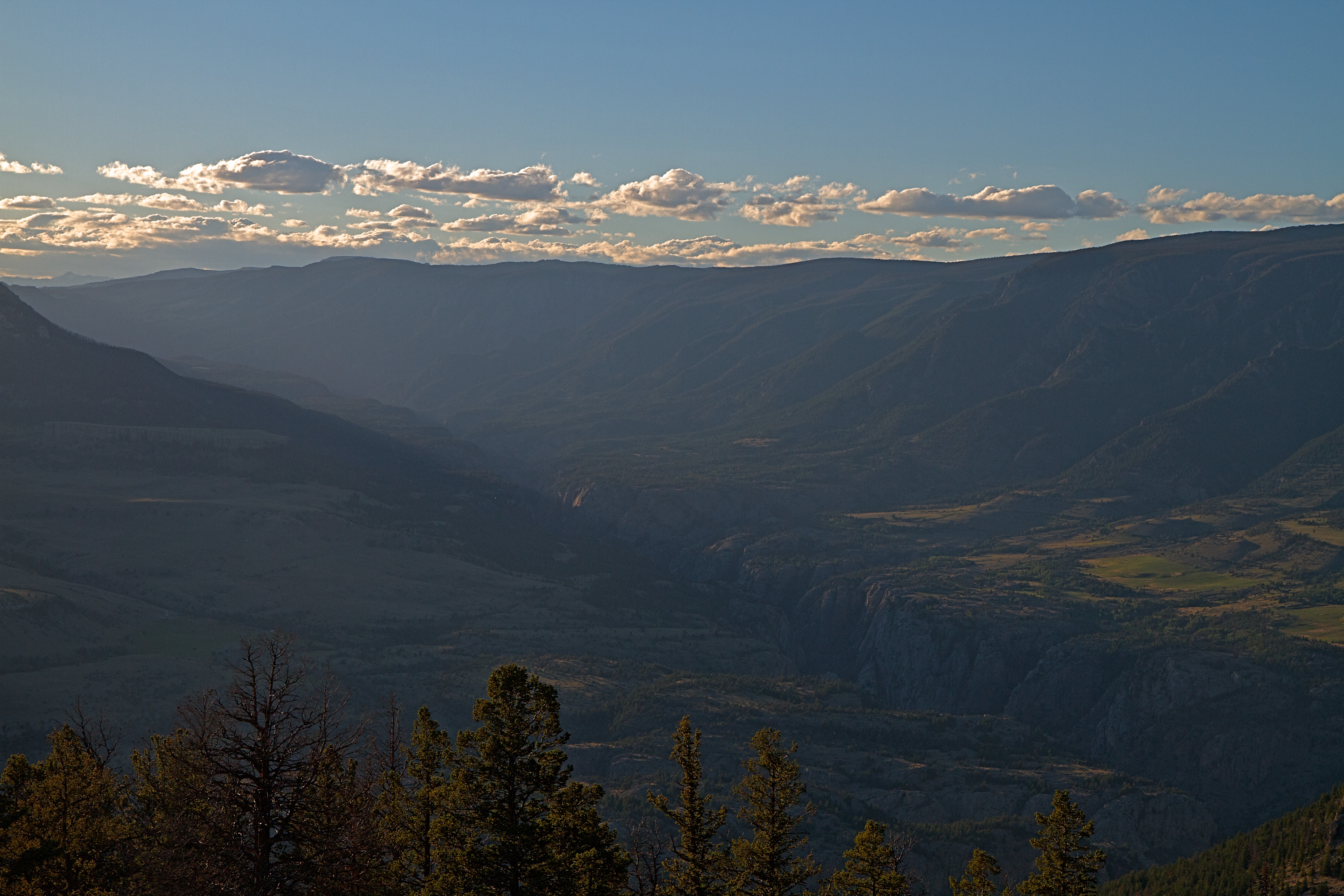
Canyon of the Clark's Fork Yellowstone River at Sunset.
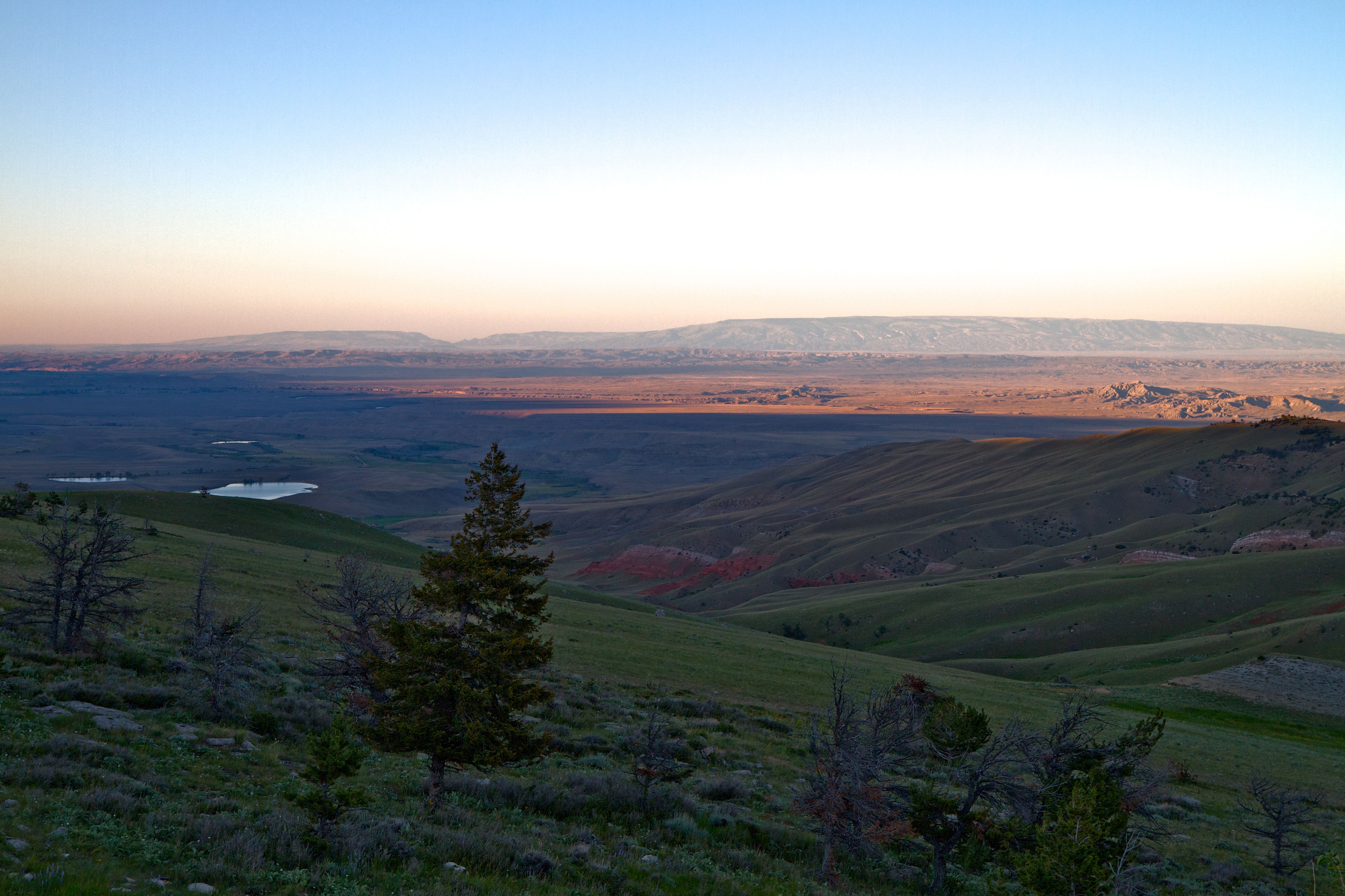
The desert at the bottom of the mountains.
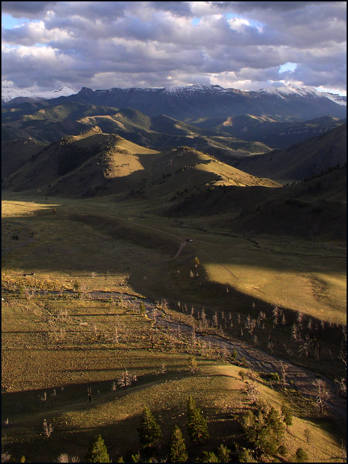
Dead Indian Pass
Dead Indian Pass
Dead Indian Pass
Rays of light from the sunset on the Chief Joseph Scenic Byway.
Dead Indian Pass
Dead Indian Pass
Dead Indian Pass
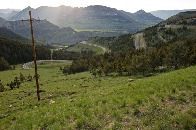
Dead Indian Pass
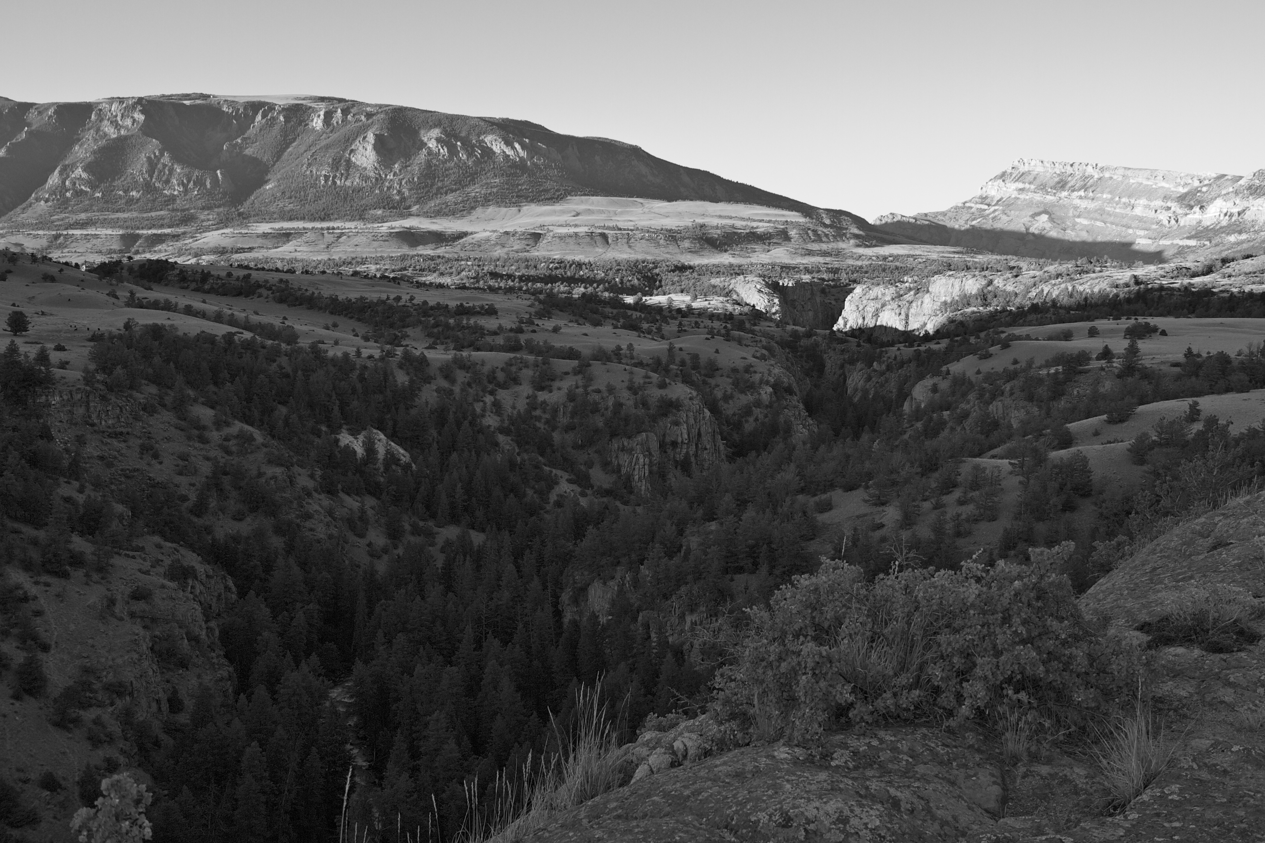
Canyon of the Clark's Fork Yellowstone River.
One never tires of this amazing view
Sunlight Rd, Cody, WY 美國的地圖
搜索其他地方的日出日落時間
附近地點
85 The Way West Rd, Cody, WY 美國
Chief Joseph Hwy, Cody, WY 美國Dead Indian Summit Overlook
美國懷俄明州帕克郡
Sawtooth Mountain, Wyoming 美國
The Wall, Wyoming 美國
Beartooth Hwy, 美國Beartooth Highway
Bear Tooth Pass Hwy, Cody, WY 美國Bear Tooth Pass Highway
N Fork Hwy, Cody, WY 美國
52 Moore Rd, Powell, WY 美國
Wapiti, WY, 美國
1 Streamside Dr, Wapiti, WY 美國
29 Pack Saddle Trail, Cody, WY 美國
81 Rd 6Cu, Cody, WY 美國
24 Rd 6Cu, Cody, WY 美國
86 N Wapiti Estates Drives, Cody, WY 美國
26 Talon Dr, Cody, WY 美國
Stagecoach Trail, Cody, WY 美國
59 Green Creek Rd, Cody, WY 美國
N Fork Hwy, Cody, WY 美國Buffalo Bill State Park
Badger Basin, Wyoming 美國
最近搜索
- Redondo Ave, Long Beach, CA, USA的日出日落時間表
- Ulitsa Kalinina, 79, Rezh, Sverdlovskaya oblast', Russia的日出日落時間表
- Leguwa 尼泊爾的日出日落時間表
- Shustino, Vladimir Oblast, 俄羅斯的日出日落時間表
- Lampiasi St, Sarasota, FL 美國的日出日落時間表
- 日本〒- Toyama, Kubomotomachi, 12−31 APAガーデンコート稲荷的日出日落時間表
- 台灣宜蘭縣大同鄉加羅湖的日出日落時間表
- 日本〒- 愛媛縣今治市 Sekizenoge大下港的日出日落時間表
- -1 Sekizenōge, Imabari, Ehime -日本Oge port Ferry Terminal的日出日落時間表
- 阿根廷布宜諾斯艾利斯聖特爾莫區的日出日落時間表