Horas de salida y puesta de sol de Sunlight Rd, Cody, WY, EE. UU.
Location: Estados Unidos > Wyoming > Condado de Park > Cody >
Zona horaria:
America/Denver
Hora local:
2024-05-01 21:03:46
Longitud:
-109.448593
Latitud:
44.7536119
Salida de sol de hoy:
06:04:33 AM
Puesta de sol de hoy:
08:24:48 PM
La duración del día hoy:
14h 20m 15s
Salida de sol de mañana:
06:03:08 AM
Puesta de sol de mañana:
08:26:02 PM
La duración del día mañana:
14h 22m 54s
Mostrar todas las fechas
| Fecha | Salida de sol | Puesta de sol | Duración del día |
|---|---|---|---|
| 01/01/2024 | 07:55:04 AM | 04:48:12 PM | 8h 53m 8s |
| 02/01/2024 | 07:55:04 AM | 04:49:08 PM | 8h 54m 4s |
| 03/01/2024 | 07:55:01 AM | 04:50:06 PM | 8h 55m 5s |
| 04/01/2024 | 07:54:55 AM | 04:51:05 PM | 8h 56m 10s |
| 05/01/2024 | 07:54:47 AM | 04:52:07 PM | 8h 57m 20s |
| 06/01/2024 | 07:54:37 AM | 04:53:10 PM | 8h 58m 33s |
| 07/01/2024 | 07:54:23 AM | 04:54:14 PM | 8h 59m 51s |
| 08/01/2024 | 07:54:08 AM | 04:55:20 PM | 9h 1m 12s |
| 09/01/2024 | 07:53:49 AM | 04:56:28 PM | 9h 2m 39s |
| 10/01/2024 | 07:53:29 AM | 04:57:37 PM | 9h 4m 8s |
| 11/01/2024 | 07:53:05 AM | 04:58:47 PM | 9h 5m 42s |
| 12/01/2024 | 07:52:39 AM | 04:59:59 PM | 9h 7m 20s |
| 13/01/2024 | 07:52:11 AM | 05:01:12 PM | 9h 9m 1s |
| 14/01/2024 | 07:51:40 AM | 05:02:26 PM | 9h 10m 46s |
| 15/01/2024 | 07:51:07 AM | 05:03:41 PM | 9h 12m 34s |
| 16/01/2024 | 07:50:31 AM | 05:04:57 PM | 9h 14m 26s |
| 17/01/2024 | 07:49:54 AM | 05:06:14 PM | 9h 16m 20s |
| 18/01/2024 | 07:49:13 AM | 05:07:32 PM | 9h 18m 19s |
| 19/01/2024 | 07:48:31 AM | 05:08:51 PM | 9h 20m 20s |
| 20/01/2024 | 07:47:46 AM | 05:10:10 PM | 9h 22m 24s |
| 21/01/2024 | 07:46:59 AM | 05:11:31 PM | 9h 24m 32s |
| 22/01/2024 | 07:46:09 AM | 05:12:52 PM | 9h 26m 43s |
| 23/01/2024 | 07:45:18 AM | 05:14:13 PM | 9h 28m 55s |
| 24/01/2024 | 07:44:24 AM | 05:15:36 PM | 9h 31m 12s |
| 25/01/2024 | 07:43:28 AM | 05:16:58 PM | 9h 33m 30s |
| 26/01/2024 | 07:42:31 AM | 05:18:21 PM | 9h 35m 50s |
| 27/01/2024 | 07:41:31 AM | 05:19:45 PM | 9h 38m 14s |
| 28/01/2024 | 07:40:29 AM | 05:21:09 PM | 9h 40m 40s |
| 29/01/2024 | 07:39:25 AM | 05:22:33 PM | 9h 43m 8s |
| 30/01/2024 | 07:38:20 AM | 05:23:58 PM | 9h 45m 38s |
| 31/01/2024 | 07:37:12 AM | 05:25:22 PM | 9h 48m 10s |
| 01/02/2024 | 07:36:03 AM | 05:26:47 PM | 9h 50m 44s |
| 02/02/2024 | 07:34:52 AM | 05:28:13 PM | 9h 53m 21s |
| 03/02/2024 | 07:33:39 AM | 05:29:38 PM | 9h 55m 59s |
| 04/02/2024 | 07:32:24 AM | 05:31:03 PM | 9h 58m 39s |
| 05/02/2024 | 07:31:08 AM | 05:32:28 PM | 10h 1m 20s |
| 06/02/2024 | 07:29:50 AM | 05:33:54 PM | 10h 4m 4s |
| 07/02/2024 | 07:28:31 AM | 05:35:19 PM | 10h 6m 48s |
| 08/02/2024 | 07:27:10 AM | 05:36:44 PM | 10h 9m 34s |
| 09/02/2024 | 07:25:47 AM | 05:38:09 PM | 10h 12m 22s |
| 10/02/2024 | 07:24:24 AM | 05:39:35 PM | 10h 15m 11s |
| 11/02/2024 | 07:22:58 AM | 05:41:00 PM | 10h 18m 2s |
| 12/02/2024 | 07:21:32 AM | 05:42:24 PM | 10h 20m 52s |
| 13/02/2024 | 07:20:04 AM | 05:43:49 PM | 10h 23m 45s |
| 14/02/2024 | 07:18:34 AM | 05:45:14 PM | 10h 26m 40s |
| 15/02/2024 | 07:17:04 AM | 05:46:38 PM | 10h 29m 34s |
| 16/02/2024 | 07:15:32 AM | 05:48:02 PM | 10h 32m 30s |
| 17/02/2024 | 07:13:59 AM | 05:49:26 PM | 10h 35m 27s |
| 18/02/2024 | 07:12:25 AM | 05:50:49 PM | 10h 38m 24s |
| 19/02/2024 | 07:10:50 AM | 05:52:13 PM | 10h 41m 23s |
| 20/02/2024 | 07:09:14 AM | 05:53:36 PM | 10h 44m 22s |
| 21/02/2024 | 07:07:36 AM | 05:54:59 PM | 10h 47m 23s |
| 22/02/2024 | 07:05:58 AM | 05:56:22 PM | 10h 50m 24s |
| 23/02/2024 | 07:04:19 AM | 05:57:44 PM | 10h 53m 25s |
| 24/02/2024 | 07:02:39 AM | 05:59:06 PM | 10h 56m 27s |
| 25/02/2024 | 07:00:58 AM | 06:00:28 PM | 10h 59m 30s |
| 26/02/2024 | 06:59:16 AM | 06:01:49 PM | 11h 2m 33s |
| 27/02/2024 | 06:57:33 AM | 06:03:10 PM | 11h 5m 37s |
| 28/02/2024 | 06:55:50 AM | 06:04:31 PM | 11h 8m 41s |
| 29/02/2024 | 06:54:06 AM | 06:05:52 PM | 11h 11m 46s |
| 01/03/2024 | 06:52:21 AM | 06:07:12 PM | 11h 14m 51s |
| 02/03/2024 | 06:50:35 AM | 06:08:32 PM | 11h 17m 57s |
| 03/03/2024 | 06:48:49 AM | 06:09:52 PM | 11h 21m 3s |
| 04/03/2024 | 06:47:02 AM | 06:11:12 PM | 11h 24m 10s |
| 05/03/2024 | 06:45:15 AM | 06:12:31 PM | 11h 27m 16s |
| 06/03/2024 | 06:43:27 AM | 06:13:50 PM | 11h 30m 23s |
| 07/03/2024 | 06:41:39 AM | 06:15:09 PM | 11h 33m 30s |
| 08/03/2024 | 06:39:50 AM | 06:16:27 PM | 11h 36m 37s |
| 09/03/2024 | 06:38:01 AM | 06:17:45 PM | 11h 39m 44s |
| 10/03/2024 | 07:36:16 AM | 07:19:00 PM | 11h 42m 44s |
| 11/03/2024 | 07:34:26 AM | 07:20:18 PM | 11h 45m 52s |
| 12/03/2024 | 07:32:36 AM | 07:21:36 PM | 11h 49m 0s |
| 13/03/2024 | 07:30:45 AM | 07:22:53 PM | 11h 52m 8s |
| 14/03/2024 | 07:28:54 AM | 07:24:10 PM | 11h 55m 16s |
| 15/03/2024 | 07:27:03 AM | 07:25:27 PM | 11h 58m 24s |
| 16/03/2024 | 07:25:12 AM | 07:26:44 PM | 12h 1m 32s |
| 17/03/2024 | 07:23:20 AM | 07:28:01 PM | 12h 4m 41s |
| 18/03/2024 | 07:21:28 AM | 07:29:17 PM | 12h 7m 49s |
| 19/03/2024 | 07:19:37 AM | 07:30:33 PM | 12h 10m 56s |
| 20/03/2024 | 07:17:45 AM | 07:31:49 PM | 12h 14m 4s |
| 21/03/2024 | 07:15:53 AM | 07:33:05 PM | 12h 17m 12s |
| 22/03/2024 | 07:14:01 AM | 07:34:21 PM | 12h 20m 20s |
| 23/03/2024 | 07:12:09 AM | 07:35:37 PM | 12h 23m 28s |
| 24/03/2024 | 07:10:17 AM | 07:36:53 PM | 12h 26m 36s |
| 25/03/2024 | 07:08:25 AM | 07:38:08 PM | 12h 29m 43s |
| 26/03/2024 | 07:06:34 AM | 07:39:24 PM | 12h 32m 50s |
| 27/03/2024 | 07:04:42 AM | 07:40:39 PM | 12h 35m 57s |
| 28/03/2024 | 07:02:51 AM | 07:41:55 PM | 12h 39m 4s |
| 29/03/2024 | 07:01:00 AM | 07:43:10 PM | 12h 42m 10s |
| 30/03/2024 | 06:59:09 AM | 07:44:25 PM | 12h 45m 16s |
| 31/03/2024 | 06:57:18 AM | 07:45:40 PM | 12h 48m 22s |
| 01/04/2024 | 06:55:27 AM | 07:46:55 PM | 12h 51m 28s |
| 02/04/2024 | 06:53:37 AM | 07:48:11 PM | 12h 54m 34s |
| 03/04/2024 | 06:51:47 AM | 07:49:26 PM | 12h 57m 39s |
| 04/04/2024 | 06:49:58 AM | 07:50:41 PM | 13h 0m 43s |
| 05/04/2024 | 06:48:09 AM | 07:51:56 PM | 13h 3m 47s |
| 06/04/2024 | 06:46:21 AM | 07:53:11 PM | 13h 6m 50s |
| 07/04/2024 | 06:44:32 AM | 07:54:26 PM | 13h 9m 54s |
| 08/04/2024 | 06:42:45 AM | 07:55:41 PM | 13h 12m 56s |
| 09/04/2024 | 06:40:58 AM | 07:56:56 PM | 13h 15m 58s |
| 10/04/2024 | 06:39:11 AM | 07:58:11 PM | 13h 19m 0s |
| 11/04/2024 | 06:37:26 AM | 07:59:26 PM | 13h 22m 0s |
| 12/04/2024 | 06:35:40 AM | 08:00:41 PM | 13h 25m 1s |
| 13/04/2024 | 06:33:56 AM | 08:01:56 PM | 13h 28m 0s |
| 14/04/2024 | 06:32:12 AM | 08:03:11 PM | 13h 30m 59s |
| 15/04/2024 | 06:30:29 AM | 08:04:26 PM | 13h 33m 57s |
| 16/04/2024 | 06:28:47 AM | 08:05:41 PM | 13h 36m 54s |
| 17/04/2024 | 06:27:05 AM | 08:06:56 PM | 13h 39m 51s |
| 18/04/2024 | 06:25:25 AM | 08:08:11 PM | 13h 42m 46s |
| 19/04/2024 | 06:23:45 AM | 08:09:26 PM | 13h 45m 41s |
| 20/04/2024 | 06:22:06 AM | 08:10:41 PM | 13h 48m 35s |
| 21/04/2024 | 06:20:28 AM | 08:11:55 PM | 13h 51m 27s |
| 22/04/2024 | 06:18:51 AM | 08:13:10 PM | 13h 54m 19s |
| 23/04/2024 | 06:17:15 AM | 08:14:25 PM | 13h 57m 10s |
| 24/04/2024 | 06:15:40 AM | 08:15:39 PM | 13h 59m 59s |
| 25/04/2024 | 06:14:06 AM | 08:16:54 PM | 14h 2m 48s |
| 26/04/2024 | 06:12:34 AM | 08:18:08 PM | 14h 5m 34s |
| 27/04/2024 | 06:11:02 AM | 08:19:23 PM | 14h 8m 21s |
| 28/04/2024 | 06:09:32 AM | 08:20:37 PM | 14h 11m 5s |
| 29/04/2024 | 06:08:03 AM | 08:21:51 PM | 14h 13m 48s |
| 30/04/2024 | 06:06:35 AM | 08:23:04 PM | 14h 16m 29s |
| 01/05/2024 | 06:05:08 AM | 08:24:18 PM | 14h 19m 10s |
| 02/05/2024 | 06:03:43 AM | 08:25:31 PM | 14h 21m 48s |
| 03/05/2024 | 06:02:19 AM | 08:26:44 PM | 14h 24m 25s |
| 04/05/2024 | 06:00:57 AM | 08:27:57 PM | 14h 27m 0s |
| 05/05/2024 | 05:59:36 AM | 08:29:09 PM | 14h 29m 33s |
| 06/05/2024 | 05:58:16 AM | 08:30:21 PM | 14h 32m 5s |
| 07/05/2024 | 05:56:58 AM | 08:31:33 PM | 14h 34m 35s |
| 08/05/2024 | 05:55:42 AM | 08:32:45 PM | 14h 37m 3s |
| 09/05/2024 | 05:54:27 AM | 08:33:55 PM | 14h 39m 28s |
| 10/05/2024 | 05:53:13 AM | 08:35:06 PM | 14h 41m 53s |
| 11/05/2024 | 05:52:02 AM | 08:36:16 PM | 14h 44m 14s |
| 12/05/2024 | 05:50:52 AM | 08:37:25 PM | 14h 46m 33s |
| 13/05/2024 | 05:49:44 AM | 08:38:34 PM | 14h 48m 50s |
| 14/05/2024 | 05:48:37 AM | 08:39:42 PM | 14h 51m 5s |
| 15/05/2024 | 05:47:33 AM | 08:40:49 PM | 14h 53m 16s |
| 16/05/2024 | 05:46:30 AM | 08:41:56 PM | 14h 55m 26s |
| 17/05/2024 | 05:45:29 AM | 08:43:02 PM | 14h 57m 33s |
| 18/05/2024 | 05:44:30 AM | 08:44:07 PM | 14h 59m 37s |
| 19/05/2024 | 05:43:33 AM | 08:45:11 PM | 15h 1m 38s |
| 20/05/2024 | 05:42:37 AM | 08:46:15 PM | 15h 3m 38s |
| 21/05/2024 | 05:41:44 AM | 08:47:17 PM | 15h 5m 33s |
| 22/05/2024 | 05:40:53 AM | 08:48:19 PM | 15h 7m 26s |
| 23/05/2024 | 05:40:04 AM | 08:49:19 PM | 15h 9m 15s |
| 24/05/2024 | 05:39:17 AM | 08:50:19 PM | 15h 11m 2s |
| 25/05/2024 | 05:38:32 AM | 08:51:17 PM | 15h 12m 45s |
| 26/05/2024 | 05:37:49 AM | 08:52:14 PM | 15h 14m 25s |
| 27/05/2024 | 05:37:08 AM | 08:53:10 PM | 15h 16m 2s |
| 28/05/2024 | 05:36:30 AM | 08:54:05 PM | 15h 17m 35s |
| 29/05/2024 | 05:35:54 AM | 08:54:58 PM | 15h 19m 4s |
| 30/05/2024 | 05:35:19 AM | 08:55:50 PM | 15h 20m 31s |
| 31/05/2024 | 05:34:47 AM | 08:56:40 PM | 15h 21m 53s |
| 01/06/2024 | 05:34:18 AM | 08:57:29 PM | 15h 23m 11s |
| 02/06/2024 | 05:33:50 AM | 08:58:17 PM | 15h 24m 27s |
| 03/06/2024 | 05:33:25 AM | 08:59:03 PM | 15h 25m 38s |
| 04/06/2024 | 05:33:02 AM | 08:59:47 PM | 15h 26m 45s |
| 05/06/2024 | 05:32:42 AM | 09:00:30 PM | 15h 27m 48s |
| 06/06/2024 | 05:32:24 AM | 09:01:10 PM | 15h 28m 46s |
| 07/06/2024 | 05:32:08 AM | 09:01:50 PM | 15h 29m 42s |
| 08/06/2024 | 05:31:54 AM | 09:02:27 PM | 15h 30m 33s |
| 09/06/2024 | 05:31:43 AM | 09:03:02 PM | 15h 31m 19s |
| 10/06/2024 | 05:31:34 AM | 09:03:36 PM | 15h 32m 2s |
| 11/06/2024 | 05:31:27 AM | 09:04:07 PM | 15h 32m 40s |
| 12/06/2024 | 05:31:22 AM | 09:04:37 PM | 15h 33m 15s |
| 13/06/2024 | 05:31:20 AM | 09:05:05 PM | 15h 33m 45s |
| 14/06/2024 | 05:31:20 AM | 09:05:30 PM | 15h 34m 10s |
| 15/06/2024 | 05:31:23 AM | 09:05:54 PM | 15h 34m 31s |
| 16/06/2024 | 05:31:27 AM | 09:06:15 PM | 15h 34m 48s |
| 17/06/2024 | 05:31:34 AM | 09:06:34 PM | 15h 35m 0s |
| 18/06/2024 | 05:31:43 AM | 09:06:51 PM | 15h 35m 8s |
| 19/06/2024 | 05:31:55 AM | 09:07:06 PM | 15h 35m 11s |
| 20/06/2024 | 05:32:08 AM | 09:07:19 PM | 15h 35m 11s |
| 21/06/2024 | 05:32:24 AM | 09:07:29 PM | 15h 35m 5s |
| 22/06/2024 | 05:32:42 AM | 09:07:37 PM | 15h 34m 55s |
| 23/06/2024 | 05:33:02 AM | 09:07:43 PM | 15h 34m 41s |
| 24/06/2024 | 05:33:23 AM | 09:07:47 PM | 15h 34m 24s |
| 25/06/2024 | 05:33:47 AM | 09:07:48 PM | 15h 34m 1s |
| 26/06/2024 | 05:34:13 AM | 09:07:47 PM | 15h 33m 34s |
| 27/06/2024 | 05:34:41 AM | 09:07:43 PM | 15h 33m 2s |
| 28/06/2024 | 05:35:11 AM | 09:07:38 PM | 15h 32m 27s |
| 29/06/2024 | 05:35:43 AM | 09:07:29 PM | 15h 31m 46s |
| 30/06/2024 | 05:36:16 AM | 09:07:19 PM | 15h 31m 3s |
| 01/07/2024 | 05:36:52 AM | 09:07:06 PM | 15h 30m 14s |
| 02/07/2024 | 05:37:29 AM | 09:06:51 PM | 15h 29m 22s |
| 03/07/2024 | 05:38:08 AM | 09:06:33 PM | 15h 28m 25s |
| 04/07/2024 | 05:38:48 AM | 09:06:13 PM | 15h 27m 25s |
| 05/07/2024 | 05:39:30 AM | 09:05:51 PM | 15h 26m 21s |
| 06/07/2024 | 05:40:14 AM | 09:05:27 PM | 15h 25m 13s |
| 07/07/2024 | 05:40:59 AM | 09:05:00 PM | 15h 24m 1s |
| 08/07/2024 | 05:41:46 AM | 09:04:31 PM | 15h 22m 45s |
| 09/07/2024 | 05:42:34 AM | 09:03:59 PM | 15h 21m 25s |
| 10/07/2024 | 05:43:23 AM | 09:03:25 PM | 15h 20m 2s |
| 11/07/2024 | 05:44:14 AM | 09:02:49 PM | 15h 18m 35s |
| 12/07/2024 | 05:45:06 AM | 09:02:11 PM | 15h 17m 5s |
| 13/07/2024 | 05:46:00 AM | 09:01:31 PM | 15h 15m 31s |
| 14/07/2024 | 05:46:54 AM | 09:00:48 PM | 15h 13m 54s |
| 15/07/2024 | 05:47:50 AM | 09:00:04 PM | 15h 12m 14s |
| 16/07/2024 | 05:48:46 AM | 08:59:17 PM | 15h 10m 31s |
| 17/07/2024 | 05:49:44 AM | 08:58:28 PM | 15h 8m 44s |
| 18/07/2024 | 05:50:43 AM | 08:57:37 PM | 15h 6m 54s |
| 19/07/2024 | 05:51:43 AM | 08:56:44 PM | 15h 5m 1s |
| 20/07/2024 | 05:52:43 AM | 08:55:48 PM | 15h 3m 5s |
| 21/07/2024 | 05:53:44 AM | 08:54:51 PM | 15h 1m 7s |
| 22/07/2024 | 05:54:47 AM | 08:53:52 PM | 14h 59m 5s |
| 23/07/2024 | 05:55:50 AM | 08:52:51 PM | 14h 57m 1s |
| 24/07/2024 | 05:56:53 AM | 08:51:48 PM | 14h 54m 55s |
| 25/07/2024 | 05:57:57 AM | 08:50:44 PM | 14h 52m 47s |
| 26/07/2024 | 05:59:02 AM | 08:49:37 PM | 14h 50m 35s |
| 27/07/2024 | 06:00:08 AM | 08:48:29 PM | 14h 48m 21s |
| 28/07/2024 | 06:01:14 AM | 08:47:19 PM | 14h 46m 5s |
| 29/07/2024 | 06:02:20 AM | 08:46:07 PM | 14h 43m 47s |
| 30/07/2024 | 06:03:28 AM | 08:44:53 PM | 14h 41m 25s |
| 31/07/2024 | 06:04:35 AM | 08:43:38 PM | 14h 39m 3s |
| 01/08/2024 | 06:05:43 AM | 08:42:21 PM | 14h 36m 38s |
| 02/08/2024 | 06:06:51 AM | 08:41:03 PM | 14h 34m 12s |
| 03/08/2024 | 06:08:00 AM | 08:39:43 PM | 14h 31m 43s |
| 04/08/2024 | 06:09:08 AM | 08:38:22 PM | 14h 29m 14s |
| 05/08/2024 | 06:10:18 AM | 08:36:59 PM | 14h 26m 41s |
| 06/08/2024 | 06:11:27 AM | 08:35:34 PM | 14h 24m 7s |
| 07/08/2024 | 06:12:37 AM | 08:34:09 PM | 14h 21m 32s |
| 08/08/2024 | 06:13:46 AM | 08:32:42 PM | 14h 18m 56s |
| 09/08/2024 | 06:14:56 AM | 08:31:13 PM | 14h 16m 17s |
| 10/08/2024 | 06:16:07 AM | 08:29:44 PM | 14h 13m 37s |
| 11/08/2024 | 06:17:17 AM | 08:28:13 PM | 14h 10m 56s |
| 12/08/2024 | 06:18:27 AM | 08:26:40 PM | 14h 8m 13s |
| 13/08/2024 | 06:19:38 AM | 08:25:07 PM | 14h 5m 29s |
| 14/08/2024 | 06:20:48 AM | 08:23:33 PM | 14h 2m 45s |
| 15/08/2024 | 06:21:59 AM | 08:21:57 PM | 13h 59m 58s |
| 16/08/2024 | 06:23:10 AM | 08:20:20 PM | 13h 57m 10s |
| 17/08/2024 | 06:24:20 AM | 08:18:43 PM | 13h 54m 23s |
| 18/08/2024 | 06:25:31 AM | 08:17:04 PM | 13h 51m 33s |
| 19/08/2024 | 06:26:42 AM | 08:15:24 PM | 13h 48m 42s |
| 20/08/2024 | 06:27:53 AM | 08:13:44 PM | 13h 45m 51s |
| 21/08/2024 | 06:29:03 AM | 08:12:02 PM | 13h 42m 59s |
| 22/08/2024 | 06:30:14 AM | 08:10:20 PM | 13h 40m 6s |
| 23/08/2024 | 06:31:25 AM | 08:08:36 PM | 13h 37m 11s |
| 24/08/2024 | 06:32:36 AM | 08:06:52 PM | 13h 34m 16s |
| 25/08/2024 | 06:33:46 AM | 08:05:07 PM | 13h 31m 21s |
| 26/08/2024 | 06:34:57 AM | 08:03:22 PM | 13h 28m 25s |
| 27/08/2024 | 06:36:08 AM | 08:01:36 PM | 13h 25m 28s |
| 28/08/2024 | 06:37:18 AM | 07:59:49 PM | 13h 22m 31s |
| 29/08/2024 | 06:38:29 AM | 07:58:01 PM | 13h 19m 32s |
| 30/08/2024 | 06:39:39 AM | 07:56:13 PM | 13h 16m 34s |
| 31/08/2024 | 06:40:50 AM | 07:54:24 PM | 13h 13m 34s |
| 01/09/2024 | 06:42:00 AM | 07:52:35 PM | 13h 10m 35s |
| 02/09/2024 | 06:43:11 AM | 07:50:45 PM | 13h 7m 34s |
| 03/09/2024 | 06:44:21 AM | 07:48:55 PM | 13h 4m 34s |
| 04/09/2024 | 06:45:32 AM | 07:47:04 PM | 13h 1m 32s |
| 05/09/2024 | 06:46:42 AM | 07:45:13 PM | 12h 58m 31s |
| 06/09/2024 | 06:47:53 AM | 07:43:21 PM | 12h 55m 28s |
| 07/09/2024 | 06:49:03 AM | 07:41:29 PM | 12h 52m 26s |
| 08/09/2024 | 06:50:14 AM | 07:39:37 PM | 12h 49m 23s |
| 09/09/2024 | 06:51:24 AM | 07:37:45 PM | 12h 46m 21s |
| 10/09/2024 | 06:52:35 AM | 07:35:52 PM | 12h 43m 17s |
| 11/09/2024 | 06:53:45 AM | 07:33:59 PM | 12h 40m 14s |
| 12/09/2024 | 06:54:56 AM | 07:32:06 PM | 12h 37m 10s |
| 13/09/2024 | 06:56:06 AM | 07:30:12 PM | 12h 34m 6s |
| 14/09/2024 | 06:57:17 AM | 07:28:19 PM | 12h 31m 2s |
| 15/09/2024 | 06:58:28 AM | 07:26:25 PM | 12h 27m 57s |
| 16/09/2024 | 06:59:39 AM | 07:24:31 PM | 12h 24m 52s |
| 17/09/2024 | 07:00:50 AM | 07:22:37 PM | 12h 21m 47s |
| 18/09/2024 | 07:02:01 AM | 07:20:44 PM | 12h 18m 43s |
| 19/09/2024 | 07:03:12 AM | 07:18:50 PM | 12h 15m 38s |
| 20/09/2024 | 07:04:23 AM | 07:16:56 PM | 12h 12m 33s |
| 21/09/2024 | 07:05:35 AM | 07:15:02 PM | 12h 9m 27s |
| 22/09/2024 | 07:06:46 AM | 07:13:09 PM | 12h 6m 23s |
| 23/09/2024 | 07:07:58 AM | 07:11:15 PM | 12h 3m 17s |
| 24/09/2024 | 07:09:10 AM | 07:09:22 PM | 12h 0m 12s |
| 25/09/2024 | 07:10:22 AM | 07:07:28 PM | 11h 57m 6s |
| 26/09/2024 | 07:11:34 AM | 07:05:36 PM | 11h 54m 2s |
| 27/09/2024 | 07:12:47 AM | 07:03:43 PM | 11h 50m 56s |
| 28/09/2024 | 07:13:59 AM | 07:01:50 PM | 11h 47m 51s |
| 29/09/2024 | 07:15:12 AM | 06:59:58 PM | 11h 44m 46s |
| 30/09/2024 | 07:16:25 AM | 06:58:07 PM | 11h 41m 42s |
| 01/10/2024 | 07:17:39 AM | 06:56:15 PM | 11h 38m 36s |
| 02/10/2024 | 07:18:52 AM | 06:54:24 PM | 11h 35m 32s |
| 03/10/2024 | 07:20:06 AM | 06:52:34 PM | 11h 32m 28s |
| 04/10/2024 | 07:21:20 AM | 06:50:44 PM | 11h 29m 24s |
| 05/10/2024 | 07:22:35 AM | 06:48:54 PM | 11h 26m 19s |
| 06/10/2024 | 07:23:49 AM | 06:47:05 PM | 11h 23m 16s |
| 07/10/2024 | 07:25:04 AM | 06:45:16 PM | 11h 20m 12s |
| 08/10/2024 | 07:26:19 AM | 06:43:28 PM | 11h 17m 9s |
| 09/10/2024 | 07:27:35 AM | 06:41:41 PM | 11h 14m 6s |
| 10/10/2024 | 07:28:51 AM | 06:39:55 PM | 11h 11m 4s |
| 11/10/2024 | 07:30:07 AM | 06:38:09 PM | 11h 8m 2s |
| 12/10/2024 | 07:31:23 AM | 06:36:24 PM | 11h 5m 1s |
| 13/10/2024 | 07:32:40 AM | 06:34:39 PM | 11h 1m 59s |
| 14/10/2024 | 07:33:57 AM | 06:32:56 PM | 10h 58m 59s |
| 15/10/2024 | 07:35:14 AM | 06:31:13 PM | 10h 55m 59s |
| 16/10/2024 | 07:36:32 AM | 06:29:31 PM | 10h 52m 59s |
| 17/10/2024 | 07:37:50 AM | 06:27:50 PM | 10h 50m 0s |
| 18/10/2024 | 07:39:08 AM | 06:26:10 PM | 10h 47m 2s |
| 19/10/2024 | 07:40:27 AM | 06:24:31 PM | 10h 44m 4s |
| 20/10/2024 | 07:41:46 AM | 06:22:53 PM | 10h 41m 7s |
| 21/10/2024 | 07:43:05 AM | 06:21:16 PM | 10h 38m 11s |
| 22/10/2024 | 07:44:24 AM | 06:19:40 PM | 10h 35m 16s |
| 23/10/2024 | 07:45:44 AM | 06:18:05 PM | 10h 32m 21s |
| 24/10/2024 | 07:47:04 AM | 06:16:32 PM | 10h 29m 28s |
| 25/10/2024 | 07:48:24 AM | 06:14:59 PM | 10h 26m 35s |
| 26/10/2024 | 07:49:45 AM | 06:13:28 PM | 10h 23m 43s |
| 27/10/2024 | 07:51:05 AM | 06:11:58 PM | 10h 20m 53s |
| 28/10/2024 | 07:52:26 AM | 06:10:30 PM | 10h 18m 4s |
| 29/10/2024 | 07:53:47 AM | 06:09:03 PM | 10h 15m 16s |
| 30/10/2024 | 07:55:09 AM | 06:07:37 PM | 10h 12m 28s |
| 31/10/2024 | 07:56:30 AM | 06:06:13 PM | 10h 9m 43s |
| 01/11/2024 | 07:57:52 AM | 06:04:50 PM | 10h 6m 58s |
| 02/11/2024 | 07:59:13 AM | 06:03:28 PM | 10h 4m 15s |
| 03/11/2024 | 07:00:38 AM | 05:02:05 PM | 10h 1m 27s |
| 04/11/2024 | 07:02:00 AM | 05:00:47 PM | 9h 58m 47s |
| 05/11/2024 | 07:03:22 AM | 04:59:31 PM | 9h 56m 9s |
| 06/11/2024 | 07:04:44 AM | 04:58:16 PM | 9h 53m 32s |
| 07/11/2024 | 07:06:05 AM | 04:57:03 PM | 9h 50m 58s |
| 08/11/2024 | 07:07:27 AM | 04:55:52 PM | 9h 48m 25s |
| 09/11/2024 | 07:08:48 AM | 04:54:43 PM | 9h 45m 55s |
| 10/11/2024 | 07:10:10 AM | 04:53:35 PM | 9h 43m 25s |
| 11/11/2024 | 07:11:31 AM | 04:52:29 PM | 9h 40m 58s |
| 12/11/2024 | 07:12:52 AM | 04:51:26 PM | 9h 38m 34s |
| 13/11/2024 | 07:14:13 AM | 04:50:24 PM | 9h 36m 11s |
| 14/11/2024 | 07:15:33 AM | 04:49:24 PM | 9h 33m 51s |
| 15/11/2024 | 07:16:53 AM | 04:48:27 PM | 9h 31m 34s |
| 16/11/2024 | 07:18:12 AM | 04:47:31 PM | 9h 29m 19s |
| 17/11/2024 | 07:19:31 AM | 04:46:38 PM | 9h 27m 7s |
| 18/11/2024 | 07:20:50 AM | 04:45:46 PM | 9h 24m 56s |
| 19/11/2024 | 07:22:08 AM | 04:44:57 PM | 9h 22m 49s |
| 20/11/2024 | 07:23:25 AM | 04:44:10 PM | 9h 20m 45s |
| 21/11/2024 | 07:24:42 AM | 04:43:26 PM | 9h 18m 44s |
| 22/11/2024 | 07:25:58 AM | 04:42:44 PM | 9h 16m 46s |
| 23/11/2024 | 07:27:13 AM | 04:42:04 PM | 9h 14m 51s |
| 24/11/2024 | 07:28:27 AM | 04:41:26 PM | 9h 12m 59s |
| 25/11/2024 | 07:29:40 AM | 04:40:51 PM | 9h 11m 11s |
| 26/11/2024 | 07:30:52 AM | 04:40:19 PM | 9h 9m 27s |
| 27/11/2024 | 07:32:04 AM | 04:39:48 PM | 9h 7m 44s |
| 28/11/2024 | 07:33:14 AM | 04:39:21 PM | 9h 6m 7s |
| 29/11/2024 | 07:34:23 AM | 04:38:55 PM | 9h 4m 32s |
| 30/11/2024 | 07:35:31 AM | 04:38:33 PM | 9h 3m 2s |
| 01/12/2024 | 07:36:37 AM | 04:38:13 PM | 9h 1m 36s |
| 02/12/2024 | 07:37:42 AM | 04:37:55 PM | 9h 0m 13s |
| 03/12/2024 | 07:38:46 AM | 04:37:40 PM | 8h 58m 54s |
| 04/12/2024 | 07:39:48 AM | 04:37:28 PM | 8h 57m 40s |
| 05/12/2024 | 07:40:48 AM | 04:37:18 PM | 8h 56m 30s |
| 06/12/2024 | 07:41:47 AM | 04:37:11 PM | 8h 55m 24s |
| 07/12/2024 | 07:42:45 AM | 04:37:07 PM | 8h 54m 22s |
| 08/12/2024 | 07:43:40 AM | 04:37:05 PM | 8h 53m 25s |
| 09/12/2024 | 07:44:34 AM | 04:37:06 PM | 8h 52m 32s |
| 10/12/2024 | 07:45:26 AM | 04:37:09 PM | 8h 51m 43s |
| 11/12/2024 | 07:46:16 AM | 04:37:15 PM | 8h 50m 59s |
| 12/12/2024 | 07:47:04 AM | 04:37:24 PM | 8h 50m 20s |
| 13/12/2024 | 07:47:50 AM | 04:37:35 PM | 8h 49m 45s |
| 14/12/2024 | 07:48:34 AM | 04:37:49 PM | 8h 49m 15s |
| 15/12/2024 | 07:49:15 AM | 04:38:06 PM | 8h 48m 51s |
| 16/12/2024 | 07:49:55 AM | 04:38:25 PM | 8h 48m 30s |
| 17/12/2024 | 07:50:32 AM | 04:38:46 PM | 8h 48m 14s |
| 18/12/2024 | 07:51:08 AM | 04:39:11 PM | 8h 48m 3s |
| 19/12/2024 | 07:51:40 AM | 04:39:37 PM | 8h 47m 57s |
| 20/12/2024 | 07:52:11 AM | 04:40:06 PM | 8h 47m 55s |
| 21/12/2024 | 07:52:39 AM | 04:40:38 PM | 8h 47m 59s |
| 22/12/2024 | 07:53:05 AM | 04:41:12 PM | 8h 48m 7s |
| 23/12/2024 | 07:53:28 AM | 04:41:48 PM | 8h 48m 20s |
| 24/12/2024 | 07:53:49 AM | 04:42:27 PM | 8h 48m 38s |
| 25/12/2024 | 07:54:07 AM | 04:43:08 PM | 8h 49m 1s |
| 26/12/2024 | 07:54:23 AM | 04:43:51 PM | 8h 49m 28s |
| 27/12/2024 | 07:54:36 AM | 04:44:36 PM | 8h 50m 0s |
| 28/12/2024 | 07:54:47 AM | 04:45:24 PM | 8h 50m 37s |
| 29/12/2024 | 07:54:55 AM | 04:46:13 PM | 8h 51m 18s |
| 30/12/2024 | 07:55:00 AM | 04:47:05 PM | 8h 52m 5s |
Fotos

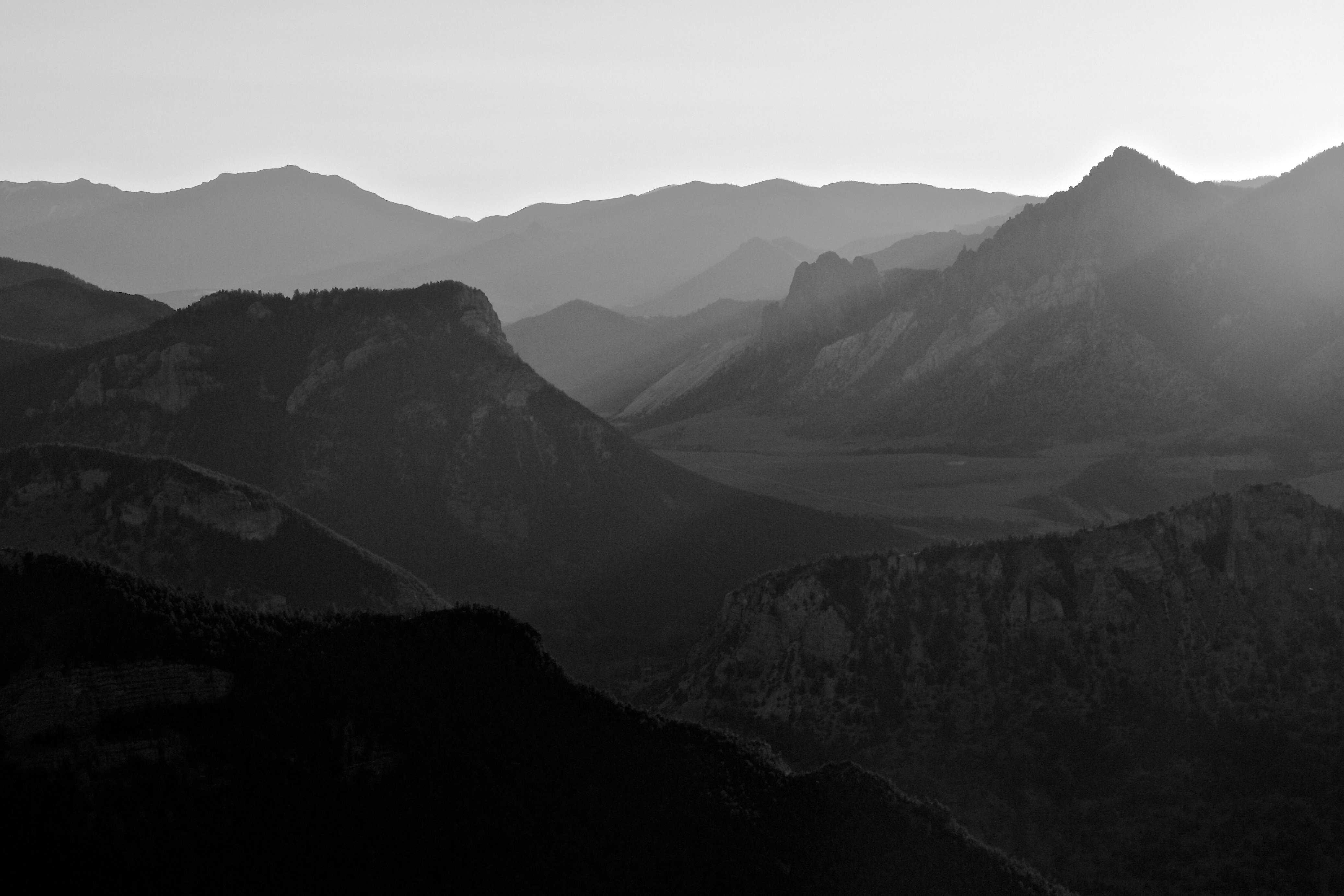
Sunset near Cody.
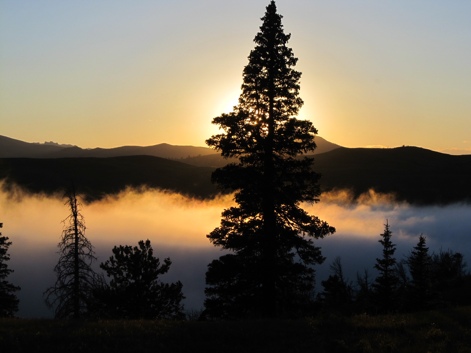
Wyoming Sunset
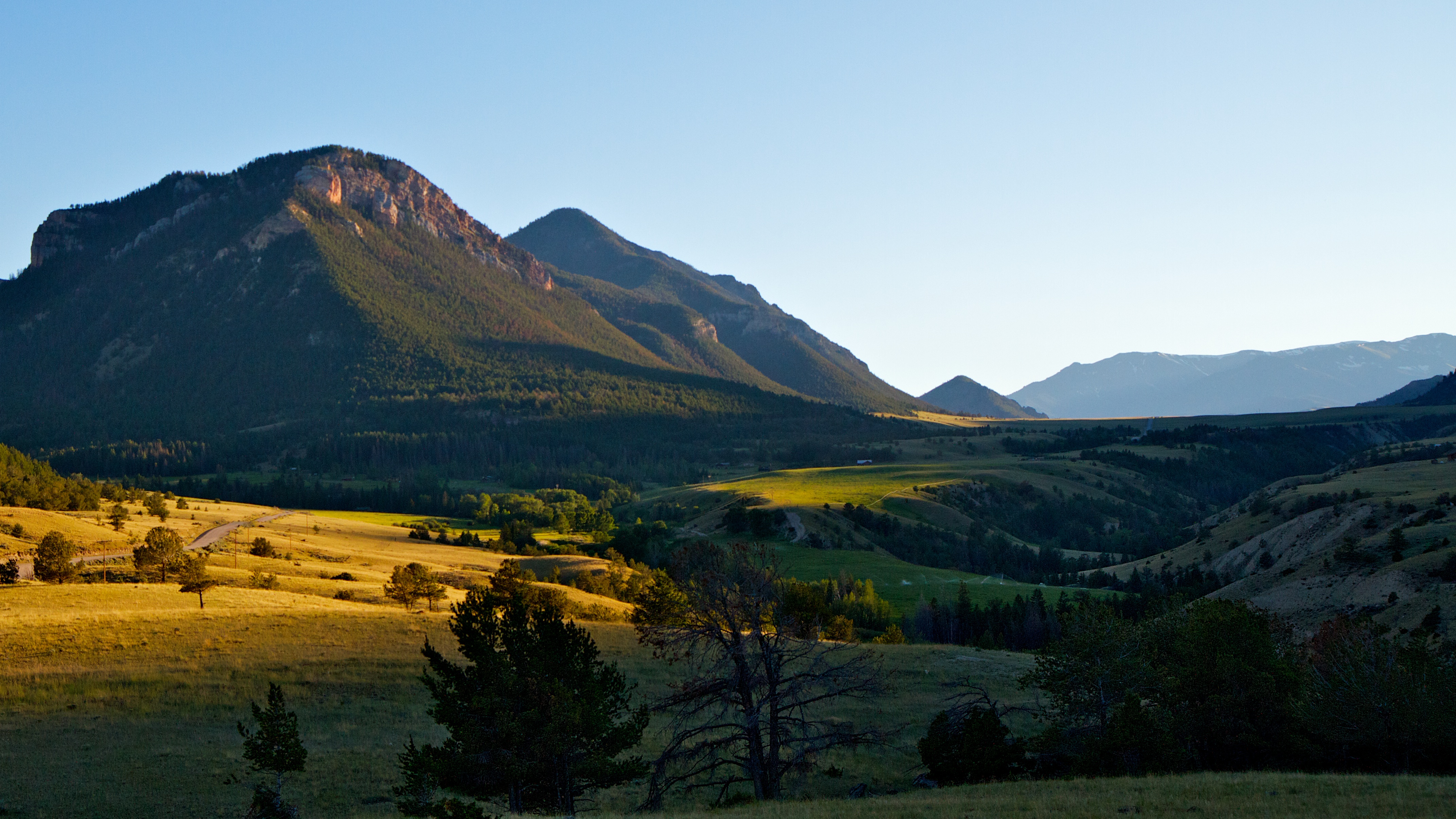
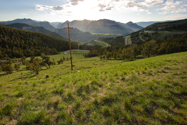
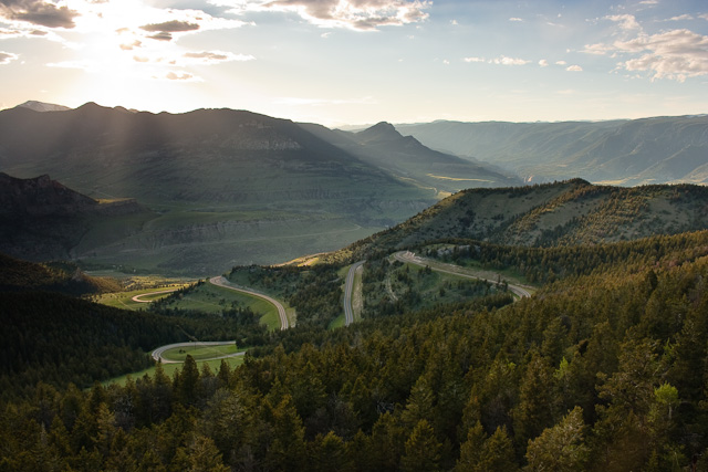
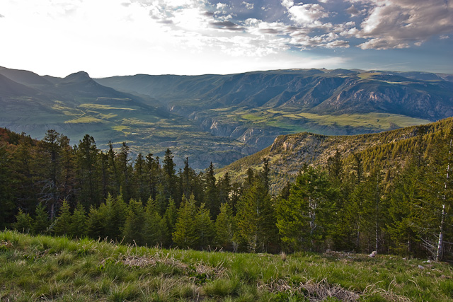
Chief Joseph Scenic Byway at sunset.
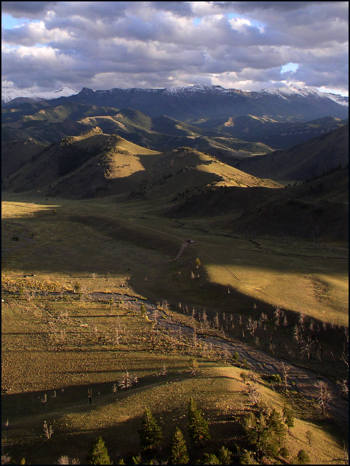
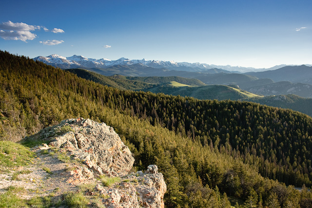
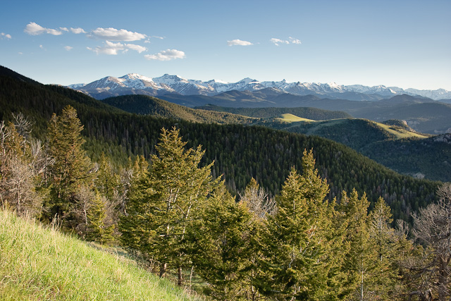
Painter Gulch, Absaroka Range, WY
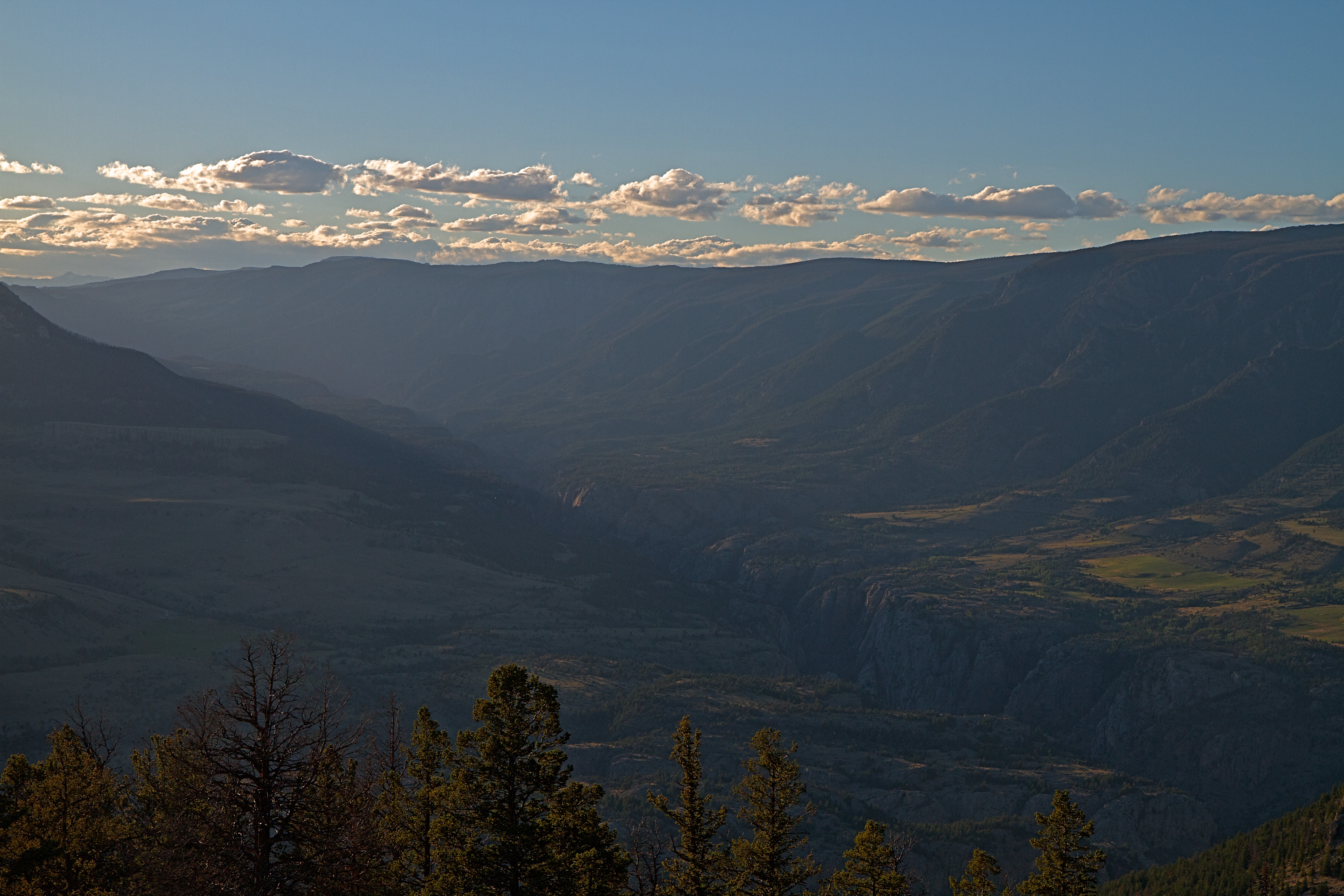
Canyon of the Clark's Fork Yellowstone River at Sunset.
The desert at the bottom of the mountains.
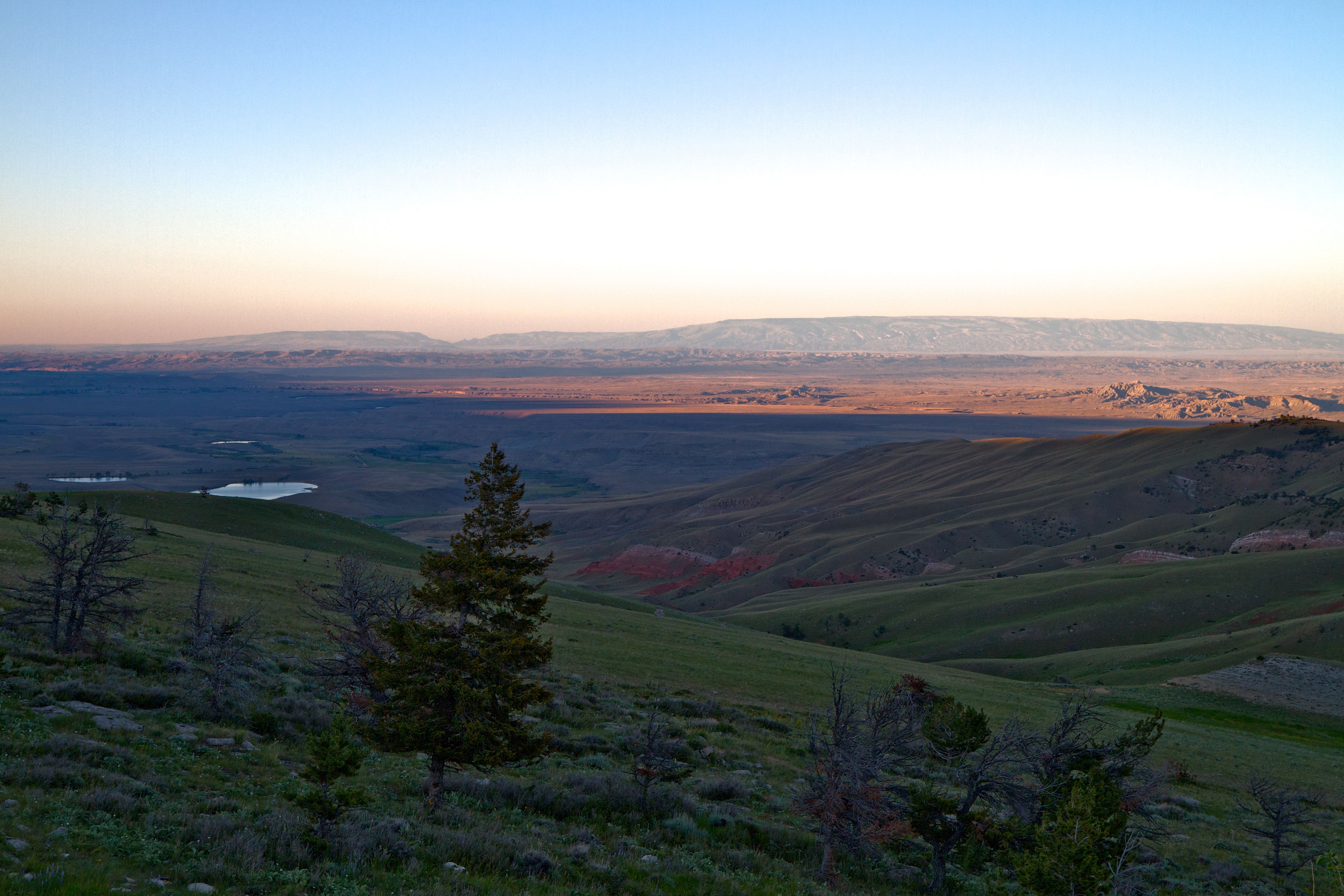
Dead Indian Pass
Dead Indian Pass
Dead Indian Pass
Rays of light from the sunset on the Chief Joseph Scenic Byway.
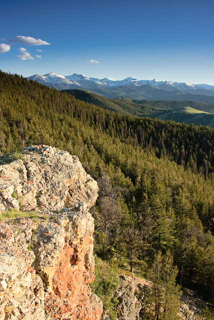
Dead Indian Pass
Dead Indian Pass
Dead Indian Pass
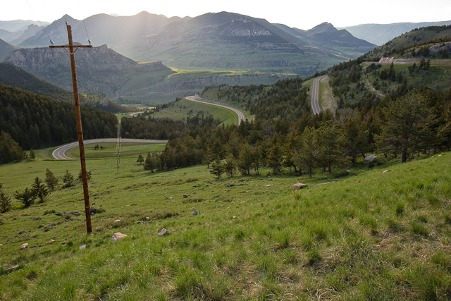
Dead Indian Pass
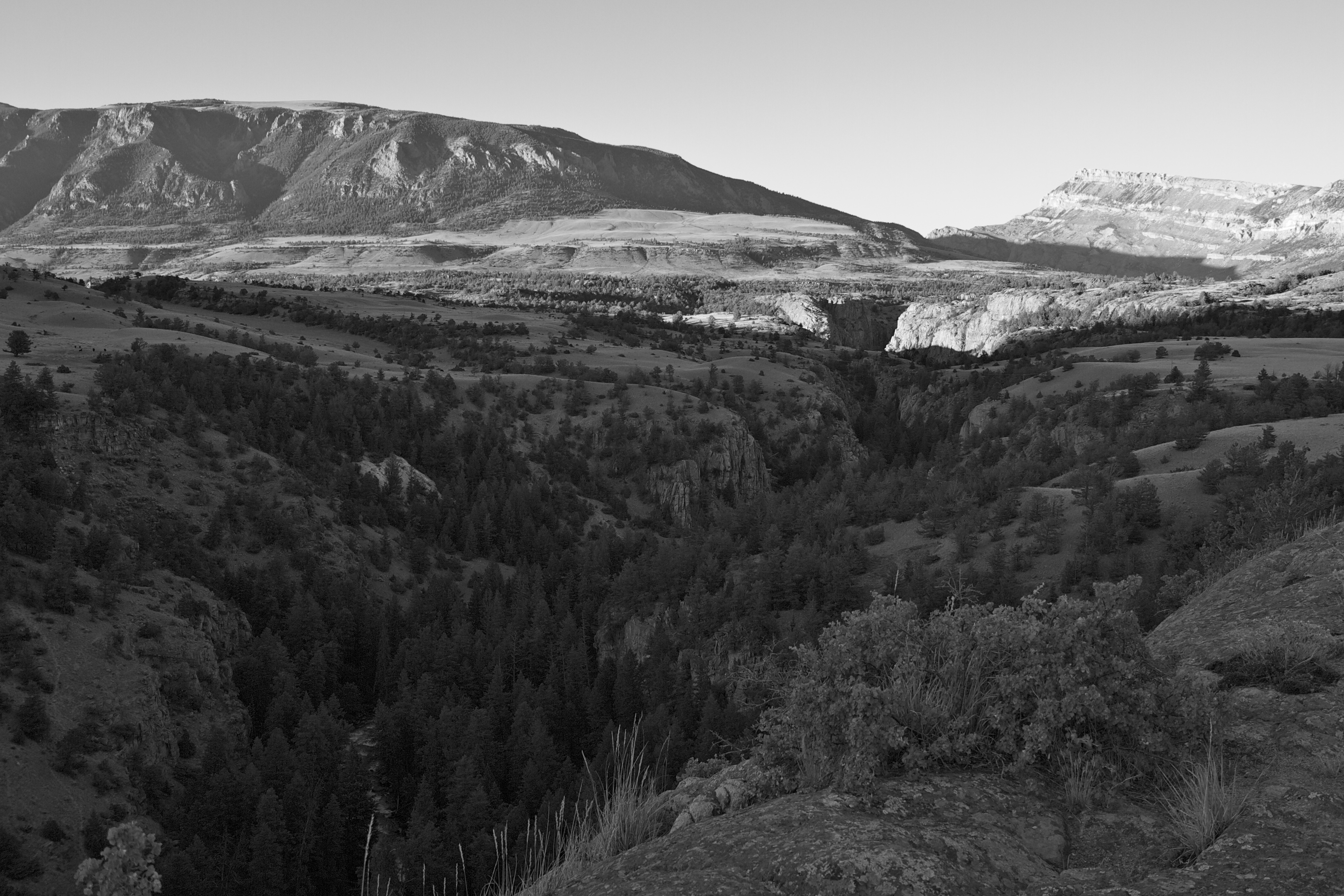
Canyon of the Clark's Fork Yellowstone River.
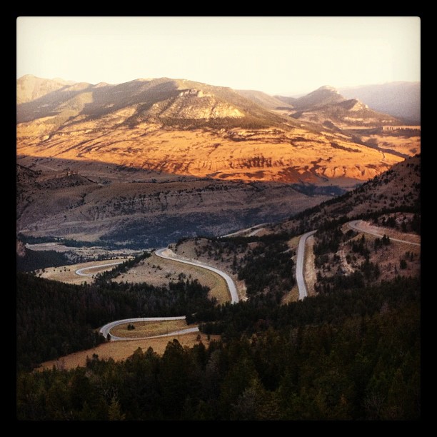
One never tires of this amazing view
Mapa de Sunlight Rd, Cody, WY, EE. UU.
Buscar otro lugar
Lugares cercanos
85 The Way West Rd, Cody, WY, EE. UU.
Dead Indian Summit Overlook, Chief Joseph Hwy, Cody, WY, EE. UU.
Condado de Park, Wyoming, EE. UU.
Sawtooth Mountain, Wyoming, EE. UU.
The Wall, Wyoming, EE. UU.
Beartooth Highway, Beartooth Hwy, Estados Unidos
Bear Tooth Pass Highway, Bear Tooth Pass Hwy, Cody, WY, EE. UU.
N Fork Hwy, Cody, WY, EE. UU.
52 Moore Rd, Powell, WY, EE. UU.
Wapiti, WY, EE. UU.
1 Streamside Dr, Wapiti, WY, EE. UU.
29 Pack Saddle Trail, Cody, WY, EE. UU.
81 Rd 6Cu, Cody, WY, EE. UU.
24 Rd 6Cu, Cody, WY, EE. UU.
86 N Wapiti Estates Drives, Cody, WY, EE. UU.
26 Talon Dr, Cody, WY, EE. UU.
Stagecoach Trail, Cody, WY, EE. UU.
59 Green Creek Rd, Cody, WY, EE. UU.
Buffalo Bill State Park, N Fork Hwy, Cody, WY, EE. UU.
Badger Basin, Wyoming, EE. UU.
Búsquedas recientes
- Horas de salida y puesta de sol de N, Mt Pleasant, UT, USA
- Horas de salida y puesta de sol de Kawanecho Sasamado, Shimada, Shizuoka -, Japan
- Horas de salida y puesta de sol de 6 Rue Jules Ferry, Beausoleil, Francia
- Horas de salida y puesta de sol de Ochandiano, Vizcaya, España
- Horas de salida y puesta de sol de Sattva Horizon, 4JC6+G9P, Vinayak Nagar, Kattigenahalli, Bengaluru, Karnataka, India
- Horas de salida y puesta de sol de Mount Fuji, Kitayama, Fujinomiya, Shizuoka -, Japan
- Horas de salida y puesta de sol de Laurel Rd, Townsend, TN, USA
- Horas de salida y puesta de sol de Haibin South Road, China, Guang Dong Sheng, Shen Zhen Shi, Long Gang Qu, 海滨南路GFPQ+R9Q
- Horas de salida y puesta de sol de Redondo Ave, Long Beach, CA, USA
- Horas de salida y puesta de sol de Ulitsa Kalinina, 79, Rezh, Sverdlovskaya oblast', Rusia