Milton, IN, 美國的日出日落時間表
Location: 美國 > 印第安納州 > 韋恩縣 > 美國 >
時區:
America/New_York
當地時間:
2024-04-30 09:31:51
經度:
-85.1552424
緯度:
39.7881021
今天日出時間:
06:40:57 AM
今天日落時間:
08:34:30 PM
今天日照時長:
13h 53m 33s
明天日出時間:
06:39:44 AM
明天日落時間:
08:35:30 PM
明天日照時長:
13h 55m 46s
顯示所有日期
| 日期 | 日出 | 日落 | 日照時長 |
|---|---|---|---|
| 2024年01月01日 | 08:01:48 AM | 05:26:59 PM | 9h 25m 11s |
| 2024年01月02日 | 08:01:53 AM | 05:27:50 PM | 9h 25m 57s |
| 2024年01月03日 | 08:01:56 AM | 05:28:42 PM | 9h 26m 46s |
| 2024年01月04日 | 08:01:57 AM | 05:29:35 PM | 9h 27m 38s |
| 2024年01月05日 | 08:01:55 AM | 05:30:30 PM | 9h 28m 35s |
| 2024年01月06日 | 08:01:52 AM | 05:31:26 PM | 9h 29m 34s |
| 2024年01月07日 | 08:01:46 AM | 05:32:23 PM | 9h 30m 37s |
| 2024年01月08日 | 08:01:38 AM | 05:33:22 PM | 9h 31m 44s |
| 2024年01月09日 | 08:01:28 AM | 05:34:22 PM | 9h 32m 54s |
| 2024年01月10日 | 08:01:15 AM | 05:35:22 PM | 9h 34m 7s |
| 2024年01月11日 | 08:01:01 AM | 05:36:24 PM | 9h 35m 23s |
| 2024年01月12日 | 08:00:44 AM | 05:37:27 PM | 9h 36m 43s |
| 2024年01月13日 | 08:00:25 AM | 05:38:30 PM | 9h 38m 5s |
| 2024年01月14日 | 08:00:04 AM | 05:39:35 PM | 9h 39m 31s |
| 2024年01月15日 | 07:59:41 AM | 05:40:40 PM | 9h 40m 59s |
| 2024年01月16日 | 07:59:16 AM | 05:41:46 PM | 9h 42m 30s |
| 2024年01月17日 | 07:58:48 AM | 05:42:53 PM | 9h 44m 5s |
| 2024年01月18日 | 07:58:19 AM | 05:44:00 PM | 9h 45m 41s |
| 2024年01月19日 | 07:57:47 AM | 05:45:08 PM | 9h 47m 21s |
| 2024年01月20日 | 07:57:13 AM | 05:46:17 PM | 9h 49m 4s |
| 2024年01月21日 | 07:56:38 AM | 05:47:26 PM | 9h 50m 48s |
| 2024年01月22日 | 07:56:00 AM | 05:48:35 PM | 9h 52m 35s |
| 2024年01月23日 | 07:55:21 AM | 05:49:45 PM | 9h 54m 24s |
| 2024年01月24日 | 07:54:39 AM | 05:50:55 PM | 9h 56m 16s |
| 2024年01月25日 | 07:53:56 AM | 05:52:06 PM | 9h 58m 10s |
| 2024年01月26日 | 07:53:11 AM | 05:53:17 PM | 10h 0m 6s |
| 2024年01月27日 | 07:52:24 AM | 05:54:28 PM | 10h 2m 4s |
| 2024年01月28日 | 07:51:35 AM | 05:55:39 PM | 10h 4m 4s |
| 2024年01月29日 | 07:50:44 AM | 05:56:51 PM | 10h 6m 7s |
| 2024年01月30日 | 07:49:52 AM | 05:58:02 PM | 10h 8m 10s |
| 2024年01月31日 | 07:48:57 AM | 05:59:14 PM | 10h 10m 17s |
| 2024年02月01日 | 07:48:01 AM | 06:00:26 PM | 10h 12m 25s |
| 2024年02月02日 | 07:47:04 AM | 06:01:37 PM | 10h 14m 33s |
| 2024年02月03日 | 07:46:05 AM | 06:02:49 PM | 10h 16m 44s |
| 2024年02月04日 | 07:45:04 AM | 06:04:01 PM | 10h 18m 57s |
| 2024年02月05日 | 07:44:02 AM | 06:05:12 PM | 10h 21m 10s |
| 2024年02月06日 | 07:42:58 AM | 06:06:24 PM | 10h 23m 26s |
| 2024年02月07日 | 07:41:53 AM | 06:07:35 PM | 10h 25m 42s |
| 2024年02月08日 | 07:40:46 AM | 06:08:47 PM | 10h 28m 1s |
| 2024年02月09日 | 07:39:38 AM | 06:09:58 PM | 10h 30m 20s |
| 2024年02月10日 | 07:38:28 AM | 06:11:09 PM | 10h 32m 41s |
| 2024年02月11日 | 07:37:17 AM | 06:12:20 PM | 10h 35m 3s |
| 2024年02月12日 | 07:36:05 AM | 06:13:30 PM | 10h 37m 25s |
| 2024年02月13日 | 07:34:52 AM | 06:14:41 PM | 10h 39m 49s |
| 2024年02月14日 | 07:33:37 AM | 06:15:51 PM | 10h 42m 14s |
| 2024年02月15日 | 07:32:21 AM | 06:17:01 PM | 10h 44m 40s |
| 2024年02月16日 | 07:31:04 AM | 06:18:10 PM | 10h 47m 6s |
| 2024年02月17日 | 07:29:46 AM | 06:19:20 PM | 10h 49m 34s |
| 2024年02月18日 | 07:28:27 AM | 06:20:29 PM | 10h 52m 2s |
| 2024年02月19日 | 07:27:06 AM | 06:21:37 PM | 10h 54m 31s |
| 2024年02月20日 | 07:25:45 AM | 06:22:46 PM | 10h 57m 1s |
| 2024年02月21日 | 07:24:23 AM | 06:23:54 PM | 10h 59m 31s |
| 2024年02月22日 | 07:22:59 AM | 06:25:02 PM | 11h 2m 3s |
| 2024年02月23日 | 07:21:35 AM | 06:26:09 PM | 11h 4m 34s |
| 2024年02月24日 | 07:20:10 AM | 06:27:17 PM | 11h 7m 7s |
| 2024年02月25日 | 07:18:44 AM | 06:28:24 PM | 11h 9m 40s |
| 2024年02月26日 | 07:17:17 AM | 06:29:30 PM | 11h 12m 13s |
| 2024年02月27日 | 07:15:50 AM | 06:30:37 PM | 11h 14m 47s |
| 2024年02月28日 | 07:14:21 AM | 06:31:43 PM | 11h 17m 22s |
| 2024年02月29日 | 07:12:52 AM | 06:32:48 PM | 11h 19m 56s |
| 2024年03月01日 | 07:11:22 AM | 06:33:54 PM | 11h 22m 32s |
| 2024年03月02日 | 07:09:52 AM | 06:34:59 PM | 11h 25m 7s |
| 2024年03月03日 | 07:08:21 AM | 06:36:04 PM | 11h 27m 43s |
| 2024年03月04日 | 07:06:49 AM | 06:37:08 PM | 11h 30m 19s |
| 2024年03月05日 | 07:05:17 AM | 06:38:13 PM | 11h 32m 56s |
| 2024年03月06日 | 07:03:44 AM | 06:39:17 PM | 11h 35m 33s |
| 2024年03月07日 | 07:02:11 AM | 06:40:20 PM | 11h 38m 9s |
| 2024年03月08日 | 07:00:37 AM | 06:41:24 PM | 11h 40m 47s |
| 2024年03月09日 | 06:59:03 AM | 06:42:27 PM | 11h 43m 24s |
| 2024年03月10日 | 07:57:33 AM | 07:43:28 PM | 11h 45m 55s |
| 2024年03月11日 | 07:55:58 AM | 07:44:30 PM | 11h 48m 32s |
| 2024年03月12日 | 07:54:23 AM | 07:45:33 PM | 11h 51m 10s |
| 2024年03月13日 | 07:52:47 AM | 07:46:35 PM | 11h 53m 48s |
| 2024年03月14日 | 07:51:11 AM | 07:47:37 PM | 11h 56m 26s |
| 2024年03月15日 | 07:49:35 AM | 07:48:39 PM | 11h 59m 4s |
| 2024年03月16日 | 07:47:59 AM | 07:49:41 PM | 12h 1m 42s |
| 2024年03月17日 | 07:46:23 AM | 07:50:43 PM | 12h 4m 20s |
| 2024年03月18日 | 07:44:46 AM | 07:51:44 PM | 12h 6m 58s |
| 2024年03月19日 | 07:43:09 AM | 07:52:45 PM | 12h 9m 36s |
| 2024年03月20日 | 07:41:32 AM | 07:53:46 PM | 12h 12m 14s |
| 2024年03月21日 | 07:39:56 AM | 07:54:47 PM | 12h 14m 51s |
| 2024年03月22日 | 07:38:19 AM | 07:55:48 PM | 12h 17m 29s |
| 2024年03月23日 | 07:36:42 AM | 07:56:49 PM | 12h 20m 7s |
| 2024年03月24日 | 07:35:05 AM | 07:57:50 PM | 12h 22m 45s |
| 2024年03月25日 | 07:33:28 AM | 07:58:50 PM | 12h 25m 22s |
| 2024年03月26日 | 07:31:51 AM | 07:59:51 PM | 12h 28m 0s |
| 2024年03月27日 | 07:30:15 AM | 08:00:51 PM | 12h 30m 36s |
| 2024年03月28日 | 07:28:38 AM | 08:01:52 PM | 12h 33m 14s |
| 2024年03月29日 | 07:27:02 AM | 08:02:52 PM | 12h 35m 50s |
| 2024年03月30日 | 07:25:26 AM | 08:03:52 PM | 12h 38m 26s |
| 2024年03月31日 | 07:23:50 AM | 08:04:52 PM | 12h 41m 2s |
| 2024年04月01日 | 07:22:15 AM | 08:05:53 PM | 12h 43m 38s |
| 2024年04月02日 | 07:20:40 AM | 08:06:53 PM | 12h 46m 13s |
| 2024年04月03日 | 07:19:05 AM | 08:07:53 PM | 12h 48m 48s |
| 2024年04月04日 | 07:17:30 AM | 08:08:53 PM | 12h 51m 23s |
| 2024年04月05日 | 07:15:56 AM | 08:09:53 PM | 12h 53m 57s |
| 2024年04月06日 | 07:14:22 AM | 08:10:53 PM | 12h 56m 31s |
| 2024年04月07日 | 07:12:49 AM | 08:11:53 PM | 12h 59m 4s |
| 2024年04月08日 | 07:11:16 AM | 08:12:54 PM | 13h 1m 38s |
| 2024年04月09日 | 07:09:44 AM | 08:13:54 PM | 13h 4m 10s |
| 2024年04月10日 | 07:08:12 AM | 08:14:54 PM | 13h 6m 42s |
| 2024年04月11日 | 07:06:41 AM | 08:15:54 PM | 13h 9m 13s |
| 2024年04月12日 | 07:05:11 AM | 08:16:55 PM | 13h 11m 44s |
| 2024年04月13日 | 07:03:41 AM | 08:17:55 PM | 13h 14m 14s |
| 2024年04月14日 | 07:02:11 AM | 08:18:55 PM | 13h 16m 44s |
| 2024年04月15日 | 07:00:43 AM | 08:19:55 PM | 13h 19m 12s |
| 2024年04月16日 | 06:59:15 AM | 08:20:56 PM | 13h 21m 41s |
| 2024年04月17日 | 06:57:48 AM | 08:21:56 PM | 13h 24m 8s |
| 2024年04月18日 | 06:56:22 AM | 08:22:57 PM | 13h 26m 35s |
| 2024年04月19日 | 06:54:56 AM | 08:23:57 PM | 13h 29m 1s |
| 2024年04月20日 | 06:53:32 AM | 08:24:57 PM | 13h 31m 25s |
| 2024年04月21日 | 06:52:08 AM | 08:25:58 PM | 13h 33m 50s |
| 2024年04月22日 | 06:50:45 AM | 08:26:58 PM | 13h 36m 13s |
| 2024年04月23日 | 06:49:24 AM | 08:27:59 PM | 13h 38m 35s |
| 2024年04月24日 | 06:48:03 AM | 08:28:59 PM | 13h 40m 56s |
| 2024年04月25日 | 06:46:43 AM | 08:29:59 PM | 13h 43m 16s |
| 2024年04月26日 | 06:45:24 AM | 08:31:00 PM | 13h 45m 36s |
| 2024年04月27日 | 06:44:07 AM | 08:32:00 PM | 13h 47m 53s |
| 2024年04月28日 | 06:42:50 AM | 08:33:00 PM | 13h 50m 10s |
| 2024年04月29日 | 06:41:34 AM | 08:34:00 PM | 13h 52m 26s |
| 2024年04月30日 | 06:40:20 AM | 08:35:00 PM | 13h 54m 40s |
| 2024年05月01日 | 06:39:07 AM | 08:36:00 PM | 13h 56m 53s |
| 2024年05月02日 | 06:37:55 AM | 08:37:00 PM | 13h 59m 5s |
| 2024年05月03日 | 06:36:45 AM | 08:37:59 PM | 14h 1m 14s |
| 2024年05月04日 | 06:35:35 AM | 08:38:59 PM | 14h 3m 24s |
| 2024年05月05日 | 06:34:27 AM | 08:39:58 PM | 14h 5m 31s |
| 2024年05月06日 | 06:33:21 AM | 08:40:57 PM | 14h 7m 36s |
| 2024年05月07日 | 06:32:16 AM | 08:41:56 PM | 14h 9m 40s |
| 2024年05月08日 | 06:31:12 AM | 08:42:54 PM | 14h 11m 42s |
| 2024年05月09日 | 06:30:09 AM | 08:43:53 PM | 14h 13m 44s |
| 2024年05月10日 | 06:29:08 AM | 08:44:50 PM | 14h 15m 42s |
| 2024年05月11日 | 06:28:09 AM | 08:45:48 PM | 14h 17m 39s |
| 2024年05月12日 | 06:27:11 AM | 08:46:45 PM | 14h 19m 34s |
| 2024年05月13日 | 06:26:15 AM | 08:47:42 PM | 14h 21m 27s |
| 2024年05月14日 | 06:25:20 AM | 08:48:38 PM | 14h 23m 18s |
| 2024年05月15日 | 06:24:27 AM | 08:49:34 PM | 14h 25m 7s |
| 2024年05月16日 | 06:23:35 AM | 08:50:29 PM | 14h 26m 54s |
| 2024年05月17日 | 06:22:45 AM | 08:51:24 PM | 14h 28m 39s |
| 2024年05月18日 | 06:21:57 AM | 08:52:18 PM | 14h 30m 21s |
| 2024年05月19日 | 06:21:11 AM | 08:53:12 PM | 14h 32m 1s |
| 2024年05月20日 | 06:20:26 AM | 08:54:04 PM | 14h 33m 38s |
| 2024年05月21日 | 06:19:43 AM | 08:54:57 PM | 14h 35m 14s |
| 2024年05月22日 | 06:19:02 AM | 08:55:48 PM | 14h 36m 46s |
| 2024年05月23日 | 06:18:22 AM | 08:56:39 PM | 14h 38m 17s |
| 2024年05月24日 | 06:17:44 AM | 08:57:29 PM | 14h 39m 45s |
| 2024年05月25日 | 06:17:09 AM | 08:58:18 PM | 14h 41m 9s |
| 2024年05月26日 | 06:16:35 AM | 08:59:06 PM | 14h 42m 31s |
| 2024年05月27日 | 06:16:03 AM | 08:59:53 PM | 14h 43m 50s |
| 2024年05月28日 | 06:15:32 AM | 09:00:39 PM | 14h 45m 7s |
| 2024年05月29日 | 06:15:04 AM | 09:01:24 PM | 14h 46m 20s |
| 2024年05月30日 | 06:14:37 AM | 09:02:08 PM | 14h 47m 31s |
| 2024年05月31日 | 06:14:13 AM | 09:02:51 PM | 14h 48m 38s |
| 2024年06月01日 | 06:13:50 AM | 09:03:33 PM | 14h 49m 43s |
| 2024年06月02日 | 06:13:29 AM | 09:04:14 PM | 14h 50m 45s |
| 2024年06月03日 | 06:13:11 AM | 09:04:54 PM | 14h 51m 43s |
| 2024年06月04日 | 06:12:54 AM | 09:05:32 PM | 14h 52m 38s |
| 2024年06月05日 | 06:12:39 AM | 09:06:09 PM | 14h 53m 30s |
| 2024年06月06日 | 06:12:26 AM | 09:06:44 PM | 14h 54m 18s |
| 2024年06月07日 | 06:12:15 AM | 09:07:18 PM | 14h 55m 3s |
| 2024年06月08日 | 06:12:05 AM | 09:07:51 PM | 14h 55m 46s |
| 2024年06月09日 | 06:11:58 AM | 09:08:22 PM | 14h 56m 24s |
| 2024年06月10日 | 06:11:53 AM | 09:08:52 PM | 14h 56m 59s |
| 2024年06月11日 | 06:11:49 AM | 09:09:20 PM | 14h 57m 31s |
| 2024年06月12日 | 06:11:48 AM | 09:09:47 PM | 14h 57m 59s |
| 2024年06月13日 | 06:11:48 AM | 09:10:12 PM | 14h 58m 24s |
| 2024年06月14日 | 06:11:50 AM | 09:10:36 PM | 14h 58m 46s |
| 2024年06月15日 | 06:11:55 AM | 09:10:57 PM | 14h 59m 2s |
| 2024年06月16日 | 06:12:01 AM | 09:11:17 PM | 14h 59m 16s |
| 2024年06月17日 | 06:12:08 AM | 09:11:36 PM | 14h 59m 28s |
| 2024年06月18日 | 06:12:18 AM | 09:11:52 PM | 14h 59m 34s |
| 2024年06月19日 | 06:12:29 AM | 09:12:07 PM | 14h 59m 38s |
| 2024年06月20日 | 06:12:42 AM | 09:12:20 PM | 14h 59m 38s |
| 2024年06月21日 | 06:12:57 AM | 09:12:31 PM | 14h 59m 34s |
| 2024年06月22日 | 06:13:14 AM | 09:12:41 PM | 14h 59m 27s |
| 2024年06月23日 | 06:13:32 AM | 09:12:48 PM | 14h 59m 16s |
| 2024年06月24日 | 06:13:52 AM | 09:12:53 PM | 14h 59m 1s |
| 2024年06月25日 | 06:14:14 AM | 09:12:57 PM | 14h 58m 43s |
| 2024年06月26日 | 06:14:37 AM | 09:12:59 PM | 14h 58m 22s |
| 2024年06月27日 | 06:15:02 AM | 09:12:59 PM | 14h 57m 57s |
| 2024年06月28日 | 06:15:28 AM | 09:12:56 PM | 14h 57m 28s |
| 2024年06月29日 | 06:15:56 AM | 09:12:52 PM | 14h 56m 56s |
| 2024年06月30日 | 06:16:25 AM | 09:12:46 PM | 14h 56m 21s |
| 2024年07月01日 | 06:16:55 AM | 09:12:38 PM | 14h 55m 43s |
| 2024年07月02日 | 06:17:27 AM | 09:12:28 PM | 14h 55m 1s |
| 2024年07月03日 | 06:18:01 AM | 09:12:16 PM | 14h 54m 15s |
| 2024年07月04日 | 06:18:35 AM | 09:12:02 PM | 14h 53m 27s |
| 2024年07月05日 | 06:19:11 AM | 09:11:46 PM | 14h 52m 35s |
| 2024年07月06日 | 06:19:49 AM | 09:11:28 PM | 14h 51m 39s |
| 2024年07月07日 | 06:20:27 AM | 09:11:08 PM | 14h 50m 41s |
| 2024年07月08日 | 06:21:06 AM | 09:10:47 PM | 14h 49m 41s |
| 2024年07月09日 | 06:21:47 AM | 09:10:23 PM | 14h 48m 36s |
| 2024年07月10日 | 06:22:29 AM | 09:09:57 PM | 14h 47m 28s |
| 2024年07月11日 | 06:23:11 AM | 09:09:29 PM | 14h 46m 18s |
| 2024年07月12日 | 06:23:55 AM | 09:09:00 PM | 14h 45m 5s |
| 2024年07月13日 | 06:24:40 AM | 09:08:28 PM | 14h 43m 48s |
| 2024年07月14日 | 06:25:25 AM | 09:07:55 PM | 14h 42m 30s |
| 2024年07月15日 | 06:26:11 AM | 09:07:20 PM | 14h 41m 9s |
| 2024年07月16日 | 06:26:58 AM | 09:06:42 PM | 14h 39m 44s |
| 2024年07月17日 | 06:27:46 AM | 09:06:03 PM | 14h 38m 17s |
| 2024年07月18日 | 06:28:35 AM | 09:05:23 PM | 14h 36m 48s |
| 2024年07月19日 | 06:29:24 AM | 09:04:40 PM | 14h 35m 16s |
| 2024年07月20日 | 06:30:14 AM | 09:03:56 PM | 14h 33m 42s |
| 2024年07月21日 | 06:31:05 AM | 09:03:09 PM | 14h 32m 4s |
| 2024年07月22日 | 06:31:56 AM | 09:02:21 PM | 14h 30m 25s |
| 2024年07月23日 | 06:32:48 AM | 09:01:32 PM | 14h 28m 44s |
| 2024年07月24日 | 06:33:40 AM | 09:00:40 PM | 14h 27m 0s |
| 2024年07月25日 | 06:34:33 AM | 08:59:47 PM | 14h 25m 14s |
| 2024年07月26日 | 06:35:26 AM | 08:58:53 PM | 14h 23m 27s |
| 2024年07月27日 | 06:36:20 AM | 08:57:57 PM | 14h 21m 37s |
| 2024年07月28日 | 06:37:14 AM | 08:56:59 PM | 14h 19m 45s |
| 2024年07月29日 | 06:38:08 AM | 08:55:59 PM | 14h 17m 51s |
| 2024年07月30日 | 06:39:03 AM | 08:54:58 PM | 14h 15m 55s |
| 2024年07月31日 | 06:39:58 AM | 08:53:56 PM | 14h 13m 58s |
| 2024年08月01日 | 06:40:53 AM | 08:52:52 PM | 14h 11m 59s |
| 2024年08月02日 | 06:41:48 AM | 08:51:46 PM | 14h 9m 58s |
| 2024年08月03日 | 06:42:44 AM | 08:50:40 PM | 14h 7m 56s |
| 2024年08月04日 | 06:43:40 AM | 08:49:31 PM | 14h 5m 51s |
| 2024年08月05日 | 06:44:36 AM | 08:48:22 PM | 14h 3m 46s |
| 2024年08月06日 | 06:45:32 AM | 08:47:11 PM | 14h 1m 39s |
| 2024年08月07日 | 06:46:28 AM | 08:45:59 PM | 13h 59m 31s |
| 2024年08月08日 | 06:47:25 AM | 08:44:45 PM | 13h 57m 20s |
| 2024年08月09日 | 06:48:21 AM | 08:43:31 PM | 13h 55m 10s |
| 2024年08月10日 | 06:49:18 AM | 08:42:15 PM | 13h 52m 57s |
| 2024年08月11日 | 06:50:14 AM | 08:40:58 PM | 13h 50m 44s |
| 2024年08月12日 | 06:51:11 AM | 08:39:39 PM | 13h 48m 28s |
| 2024年08月13日 | 06:52:07 AM | 08:38:20 PM | 13h 46m 13s |
| 2024年08月14日 | 06:53:04 AM | 08:37:00 PM | 13h 43m 56s |
| 2024年08月15日 | 06:54:01 AM | 08:35:38 PM | 13h 41m 37s |
| 2024年08月16日 | 06:54:57 AM | 08:34:16 PM | 13h 39m 19s |
| 2024年08月17日 | 06:55:54 AM | 08:32:52 PM | 13h 36m 58s |
| 2024年08月18日 | 06:56:51 AM | 08:31:28 PM | 13h 34m 37s |
| 2024年08月19日 | 06:57:47 AM | 08:30:02 PM | 13h 32m 15s |
| 2024年08月20日 | 06:58:44 AM | 08:28:36 PM | 13h 29m 52s |
| 2024年08月21日 | 06:59:40 AM | 08:27:09 PM | 13h 27m 29s |
| 2024年08月22日 | 07:00:37 AM | 08:25:41 PM | 13h 25m 4s |
| 2024年08月23日 | 07:01:33 AM | 08:24:12 PM | 13h 22m 39s |
| 2024年08月24日 | 07:02:29 AM | 08:22:43 PM | 13h 20m 14s |
| 2024年08月25日 | 07:03:26 AM | 08:21:13 PM | 13h 17m 47s |
| 2024年08月26日 | 07:04:22 AM | 08:19:42 PM | 13h 15m 20s |
| 2024年08月27日 | 07:05:18 AM | 08:18:10 PM | 13h 12m 52s |
| 2024年08月28日 | 07:06:14 AM | 08:16:38 PM | 13h 10m 24s |
| 2024年08月29日 | 07:07:10 AM | 08:15:05 PM | 13h 7m 55s |
| 2024年08月30日 | 07:08:06 AM | 08:13:31 PM | 13h 5m 25s |
| 2024年08月31日 | 07:09:02 AM | 08:11:57 PM | 13h 2m 55s |
| 2024年09月01日 | 07:09:58 AM | 08:10:22 PM | 13h 0m 24s |
| 2024年09月02日 | 07:10:54 AM | 08:08:47 PM | 12h 57m 53s |
| 2024年09月03日 | 07:11:49 AM | 08:07:12 PM | 12h 55m 23s |
| 2024年09月04日 | 07:12:45 AM | 08:05:36 PM | 12h 52m 51s |
| 2024年09月05日 | 07:13:41 AM | 08:03:59 PM | 12h 50m 18s |
| 2024年09月06日 | 07:14:37 AM | 08:02:23 PM | 12h 47m 46s |
| 2024年09月07日 | 07:15:32 AM | 08:00:45 PM | 12h 45m 13s |
| 2024年09月08日 | 07:16:28 AM | 07:59:08 PM | 12h 42m 40s |
| 2024年09月09日 | 07:17:24 AM | 07:57:30 PM | 12h 40m 6s |
| 2024年09月10日 | 07:18:20 AM | 07:55:52 PM | 12h 37m 32s |
| 2024年09月11日 | 07:19:15 AM | 07:54:14 PM | 12h 34m 59s |
| 2024年09月12日 | 07:20:11 AM | 07:52:36 PM | 12h 32m 25s |
| 2024年09月13日 | 07:21:07 AM | 07:50:57 PM | 12h 29m 50s |
| 2024年09月14日 | 07:22:03 AM | 07:49:18 PM | 12h 27m 15s |
| 2024年09月15日 | 07:22:59 AM | 07:47:39 PM | 12h 24m 40s |
| 2024年09月16日 | 07:23:55 AM | 07:46:00 PM | 12h 22m 5s |
| 2024年09月17日 | 07:24:51 AM | 07:44:21 PM | 12h 19m 30s |
| 2024年09月18日 | 07:25:47 AM | 07:42:42 PM | 12h 16m 55s |
| 2024年09月19日 | 07:26:44 AM | 07:41:03 PM | 12h 14m 19s |
| 2024年09月20日 | 07:27:40 AM | 07:39:24 PM | 12h 11m 44s |
| 2024年09月21日 | 07:28:37 AM | 07:37:45 PM | 12h 9m 8s |
| 2024年09月22日 | 07:29:34 AM | 07:36:07 PM | 12h 6m 33s |
| 2024年09月23日 | 07:30:30 AM | 07:34:28 PM | 12h 3m 58s |
| 2024年09月24日 | 07:31:28 AM | 07:32:49 PM | 12h 1m 21s |
| 2024年09月25日 | 07:32:25 AM | 07:31:11 PM | 11h 58m 46s |
| 2024年09月26日 | 07:33:22 AM | 07:29:33 PM | 11h 56m 11s |
| 2024年09月27日 | 07:34:20 AM | 07:27:55 PM | 11h 53m 35s |
| 2024年09月28日 | 07:35:18 AM | 07:26:17 PM | 11h 50m 59s |
| 2024年09月29日 | 07:36:16 AM | 07:24:40 PM | 11h 48m 24s |
| 2024年09月30日 | 07:37:14 AM | 07:23:03 PM | 11h 45m 49s |
| 2024年10月01日 | 07:38:12 AM | 07:21:26 PM | 11h 43m 14s |
| 2024年10月02日 | 07:39:11 AM | 07:19:50 PM | 11h 40m 39s |
| 2024年10月03日 | 07:40:10 AM | 07:18:14 PM | 11h 38m 4s |
| 2024年10月04日 | 07:41:09 AM | 07:16:39 PM | 11h 35m 30s |
| 2024年10月05日 | 07:42:09 AM | 07:15:04 PM | 11h 32m 55s |
| 2024年10月06日 | 07:43:09 AM | 07:13:30 PM | 11h 30m 21s |
| 2024年10月07日 | 07:44:09 AM | 07:11:56 PM | 11h 27m 47s |
| 2024年10月08日 | 07:45:09 AM | 07:10:23 PM | 11h 25m 14s |
| 2024年10月09日 | 07:46:10 AM | 07:08:50 PM | 11h 22m 40s |
| 2024年10月10日 | 07:47:11 AM | 07:07:18 PM | 11h 20m 7s |
| 2024年10月11日 | 07:48:12 AM | 07:05:47 PM | 11h 17m 35s |
| 2024年10月12日 | 07:49:14 AM | 07:04:16 PM | 11h 15m 2s |
| 2024年10月13日 | 07:50:16 AM | 07:02:46 PM | 11h 12m 30s |
| 2024年10月14日 | 07:51:18 AM | 07:01:17 PM | 11h 9m 59s |
| 2024年10月15日 | 07:52:21 AM | 06:59:49 PM | 11h 7m 28s |
| 2024年10月16日 | 07:53:24 AM | 06:58:22 PM | 11h 4m 58s |
| 2024年10月17日 | 07:54:27 AM | 06:56:55 PM | 11h 2m 28s |
| 2024年10月18日 | 07:55:31 AM | 06:55:30 PM | 10h 59m 59s |
| 2024年10月19日 | 07:56:35 AM | 06:54:05 PM | 10h 57m 30s |
| 2024年10月20日 | 07:57:39 AM | 06:52:41 PM | 10h 55m 2s |
| 2024年10月21日 | 07:58:44 AM | 06:51:19 PM | 10h 52m 35s |
| 2024年10月22日 | 07:59:49 AM | 06:49:57 PM | 10h 50m 8s |
| 2024年10月23日 | 08:00:54 AM | 06:48:37 PM | 10h 47m 43s |
| 2024年10月24日 | 08:02:00 AM | 06:47:17 PM | 10h 45m 17s |
| 2024年10月25日 | 08:03:06 AM | 06:45:59 PM | 10h 42m 53s |
| 2024年10月26日 | 08:04:12 AM | 06:44:42 PM | 10h 40m 30s |
| 2024年10月27日 | 08:05:18 AM | 06:43:26 PM | 10h 38m 8s |
| 2024年10月28日 | 08:06:25 AM | 06:42:11 PM | 10h 35m 46s |
| 2024年10月29日 | 08:07:32 AM | 06:40:58 PM | 10h 33m 26s |
| 2024年10月30日 | 08:08:39 AM | 06:39:46 PM | 10h 31m 7s |
| 2024年10月31日 | 08:09:47 AM | 06:38:36 PM | 10h 28m 49s |
| 2024年11月01日 | 08:10:54 AM | 06:37:26 PM | 10h 26m 32s |
| 2024年11月02日 | 08:12:02 AM | 06:36:19 PM | 10h 24m 17s |
| 2024年11月03日 | 07:13:13 AM | 05:35:10 PM | 10h 21m 57s |
| 2024年11月04日 | 07:14:21 AM | 05:34:05 PM | 10h 19m 44s |
| 2024年11月05日 | 07:15:29 AM | 05:33:02 PM | 10h 17m 33s |
| 2024年11月06日 | 07:16:38 AM | 05:32:00 PM | 10h 15m 22s |
| 2024年11月07日 | 07:17:46 AM | 05:31:00 PM | 10h 13m 14s |
| 2024年11月08日 | 07:18:55 AM | 05:30:02 PM | 10h 11m 7s |
| 2024年11月09日 | 07:20:03 AM | 05:29:05 PM | 10h 9m 2s |
| 2024年11月10日 | 07:21:12 AM | 05:28:10 PM | 10h 6m 58s |
| 2024年11月11日 | 07:22:20 AM | 05:27:17 PM | 10h 4m 57s |
| 2024年11月12日 | 07:23:29 AM | 05:26:25 PM | 10h 2m 56s |
| 2024年11月13日 | 07:24:37 AM | 05:25:36 PM | 10h 0m 59s |
| 2024年11月14日 | 07:25:45 AM | 05:24:48 PM | 9h 59m 3s |
| 2024年11月15日 | 07:26:53 AM | 05:24:02 PM | 9h 57m 9s |
| 2024年11月16日 | 07:28:01 AM | 05:23:18 PM | 9h 55m 17s |
| 2024年11月17日 | 07:29:09 AM | 05:22:36 PM | 9h 53m 27s |
| 2024年11月18日 | 07:30:16 AM | 05:21:55 PM | 9h 51m 39s |
| 2024年11月19日 | 07:31:23 AM | 05:21:17 PM | 9h 49m 54s |
| 2024年11月20日 | 07:32:29 AM | 05:20:41 PM | 9h 48m 12s |
| 2024年11月21日 | 07:33:35 AM | 05:20:07 PM | 9h 46m 32s |
| 2024年11月22日 | 07:34:40 AM | 05:19:35 PM | 9h 44m 55s |
| 2024年11月23日 | 07:35:45 AM | 05:19:05 PM | 9h 43m 20s |
| 2024年11月24日 | 07:36:50 AM | 05:18:37 PM | 9h 41m 47s |
| 2024年11月25日 | 07:37:53 AM | 05:18:11 PM | 9h 40m 18s |
| 2024年11月26日 | 07:38:56 AM | 05:17:48 PM | 9h 38m 52s |
| 2024年11月27日 | 07:39:59 AM | 05:17:26 PM | 9h 37m 27s |
| 2024年11月28日 | 07:41:00 AM | 05:17:07 PM | 9h 36m 7s |
| 2024年11月29日 | 07:42:01 AM | 05:16:50 PM | 9h 34m 49s |
| 2024年11月30日 | 07:43:00 AM | 05:16:35 PM | 9h 33m 35s |
| 2024年12月01日 | 07:43:59 AM | 05:16:23 PM | 9h 32m 24s |
| 2024年12月02日 | 07:44:57 AM | 05:16:12 PM | 9h 31m 15s |
| 2024年12月03日 | 07:45:53 AM | 05:16:04 PM | 9h 30m 11s |
| 2024年12月04日 | 07:46:49 AM | 05:15:58 PM | 9h 29m 9s |
| 2024年12月05日 | 07:47:43 AM | 05:15:55 PM | 9h 28m 12s |
| 2024年12月06日 | 07:48:36 AM | 05:15:53 PM | 9h 27m 17s |
| 2024年12月07日 | 07:49:28 AM | 05:15:54 PM | 9h 26m 26s |
| 2024年12月08日 | 07:50:19 AM | 05:15:57 PM | 9h 25m 38s |
| 2024年12月09日 | 07:51:08 AM | 05:16:03 PM | 9h 24m 55s |
| 2024年12月10日 | 07:51:56 AM | 05:16:10 PM | 9h 24m 14s |
| 2024年12月11日 | 07:52:42 AM | 05:16:20 PM | 9h 23m 38s |
| 2024年12月12日 | 07:53:26 AM | 05:16:32 PM | 9h 23m 6s |
| 2024年12月13日 | 07:54:09 AM | 05:16:46 PM | 9h 22m 37s |
| 2024年12月14日 | 07:54:51 AM | 05:17:03 PM | 9h 22m 12s |
| 2024年12月15日 | 07:55:30 AM | 05:17:21 PM | 9h 21m 51s |
| 2024年12月16日 | 07:56:08 AM | 05:17:42 PM | 9h 21m 34s |
| 2024年12月17日 | 07:56:45 AM | 05:18:05 PM | 9h 21m 20s |
| 2024年12月18日 | 07:57:19 AM | 05:18:29 PM | 9h 21m 10s |
| 2024年12月19日 | 07:57:52 AM | 05:18:56 PM | 9h 21m 4s |
| 2024年12月20日 | 07:58:22 AM | 05:19:25 PM | 9h 21m 3s |
| 2024年12月21日 | 07:58:51 AM | 05:19:56 PM | 9h 21m 5s |
| 2024年12月22日 | 07:59:18 AM | 05:20:29 PM | 9h 21m 11s |
| 2024年12月23日 | 07:59:43 AM | 05:21:04 PM | 9h 21m 21s |
| 2024年12月24日 | 08:00:05 AM | 05:21:41 PM | 9h 21m 36s |
| 2024年12月25日 | 08:00:26 AM | 05:22:19 PM | 9h 21m 53s |
| 2024年12月26日 | 08:00:45 AM | 05:23:00 PM | 9h 22m 15s |
| 2024年12月27日 | 08:01:01 AM | 05:23:42 PM | 9h 22m 41s |
| 2024年12月28日 | 08:01:15 AM | 05:24:26 PM | 9h 23m 11s |
| 2024年12月29日 | 08:01:28 AM | 05:25:11 PM | 9h 23m 43s |
| 2024年12月30日 | 08:01:38 AM | 05:25:58 PM | 9h 24m 20s |
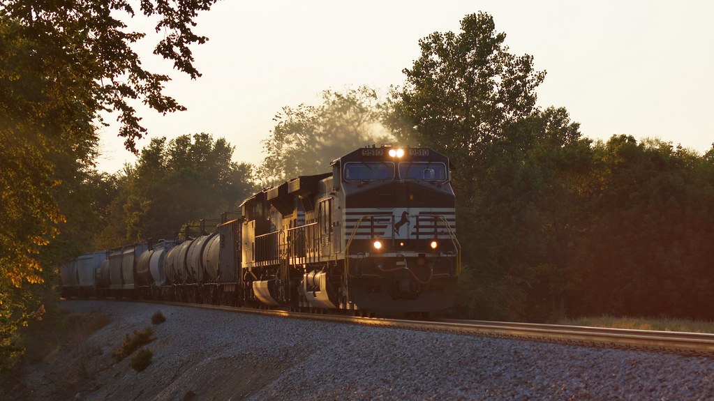
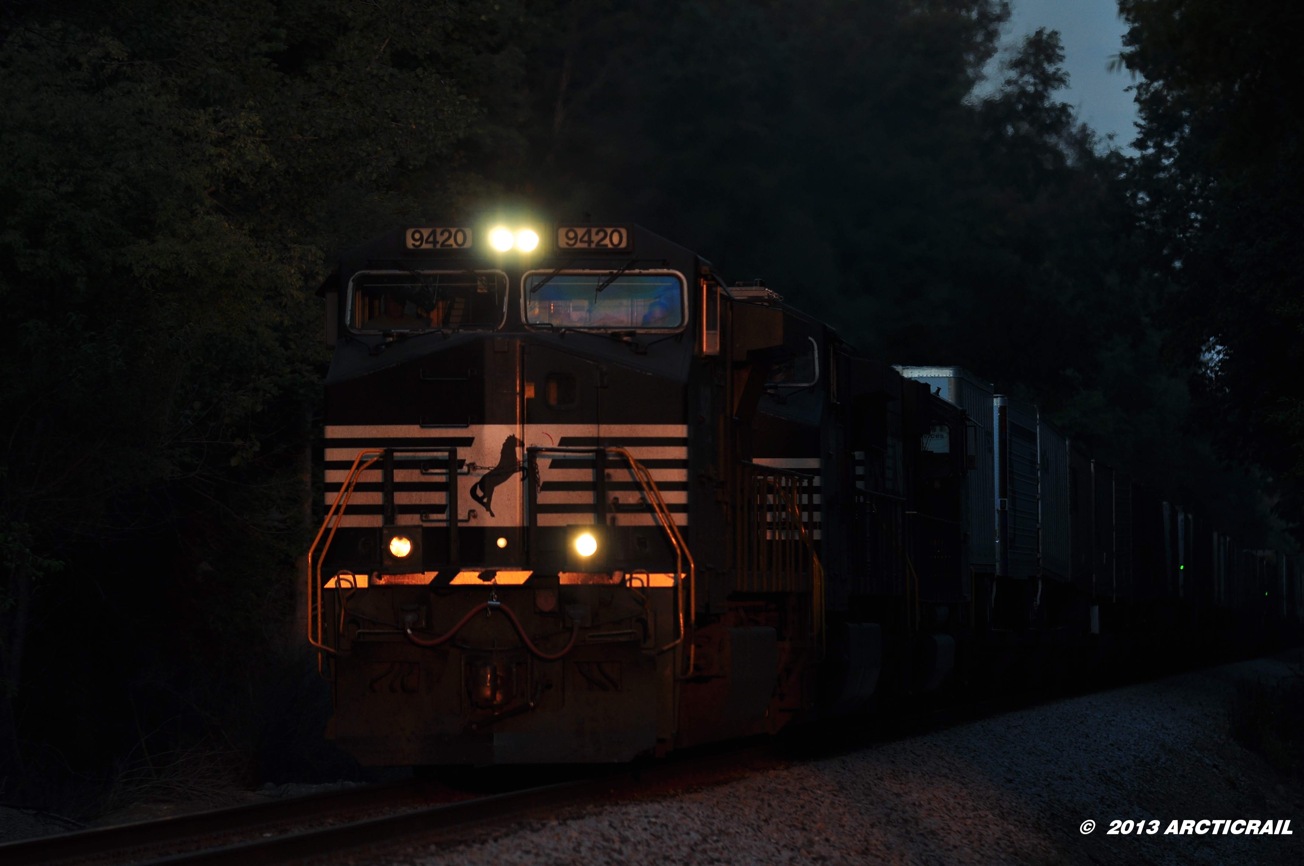
日出日落照片
Potash Sunset

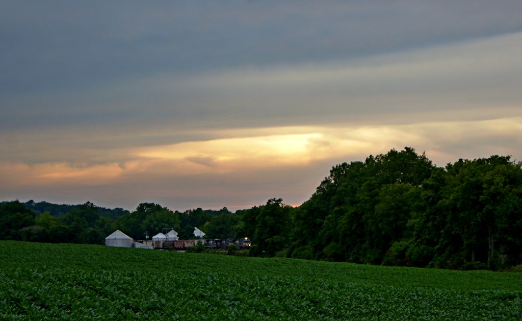
Sun Sets Over a Western Wayne County Farm
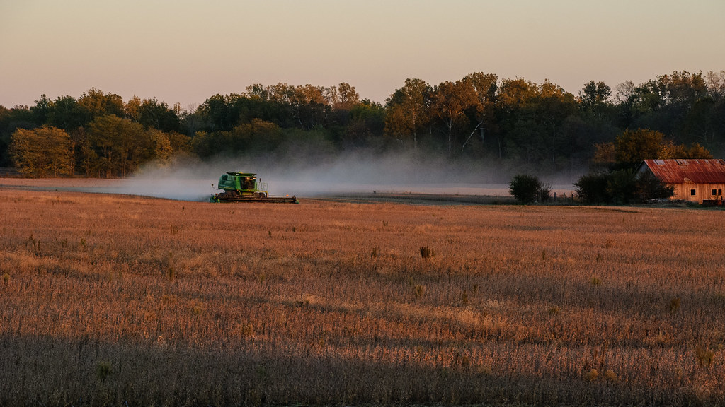
Combining Soybeans at Sunset
197 Sunset
Dappled sunset
Twilight on the Farm
County Road 450 West

Dublin, Indiana
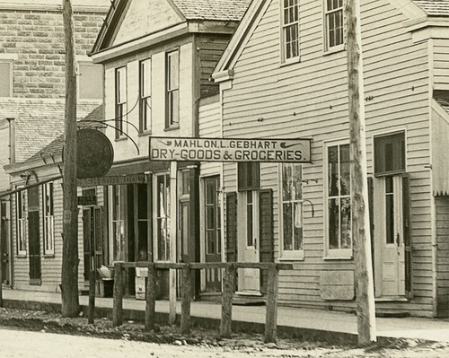
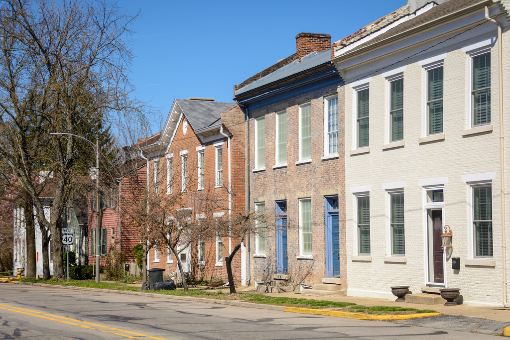
Main Street looking east-southeast, Hagerstown, Indiana
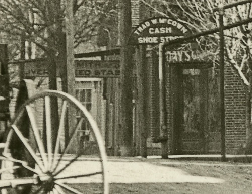
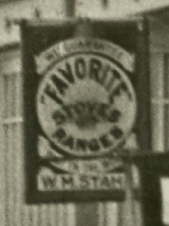
Main Street looking east-southeast, Hagerstown, Indiana, close-up section 1
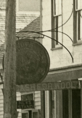
Main Street looking east-southeast, Hagerstown, Indiana, close-up section 2
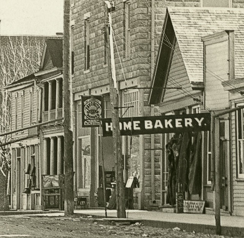
Main Street looking east-southeast, Hagerstown, Indiana, close-up section 3
Main Street looking east-southeast, Hagerstown, Indiana, close-up section 4
Main Street looking east-southeast, Hagerstown, Indiana, close-up section 6
Main Street looking east-southeast, Hagerstown, Indiana, close-up section 5
Main Street looking east-southeast, Hagerstown, Indiana, close-up section 8
Main Street looking east-southeast, Hagerstown, Indiana, close-up section 7
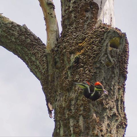
Pileated woodpecker nest
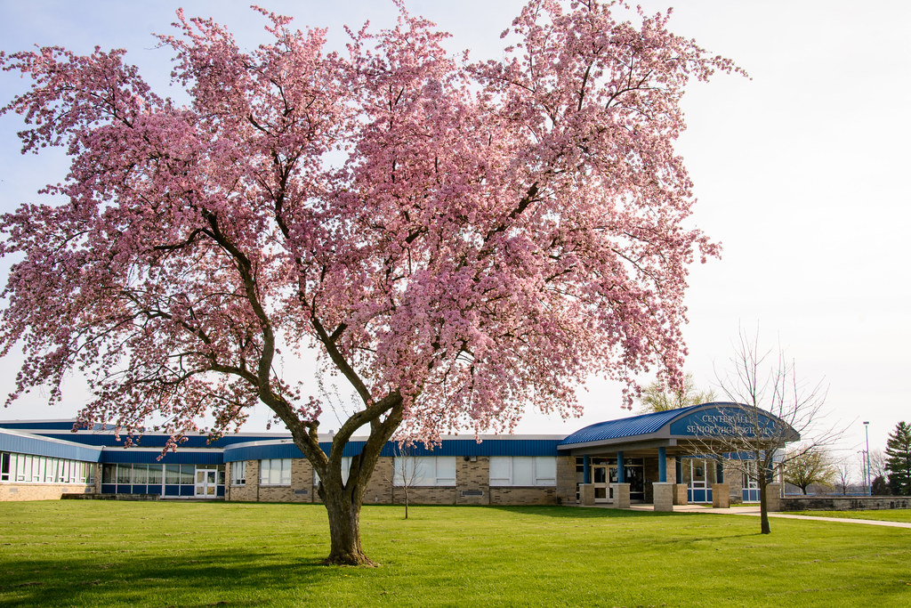
Centerville Senior High School
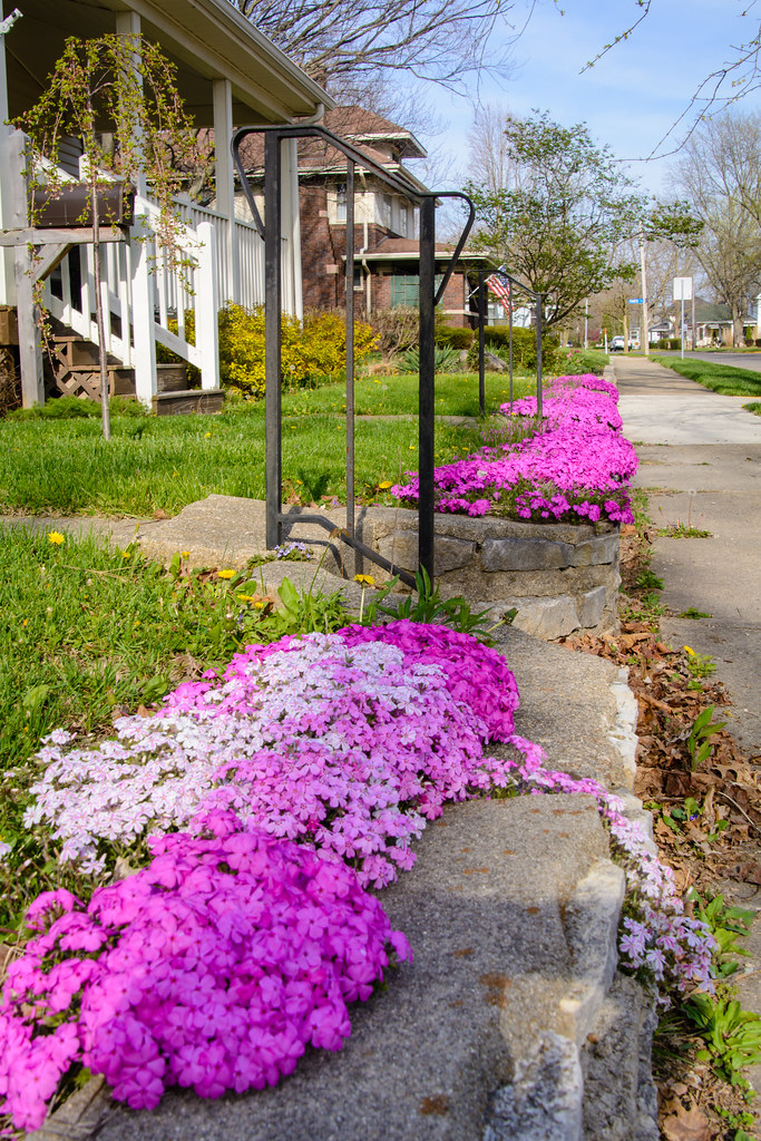
Creeping Phlox

The Enchanted Sleigh
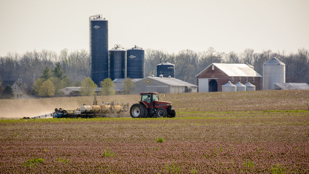
Spring Planting
#naturephotography #springtime
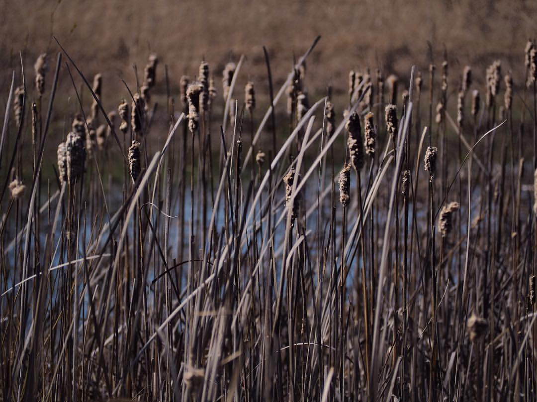
#naturephotography #Indiana #midwest #wetlands
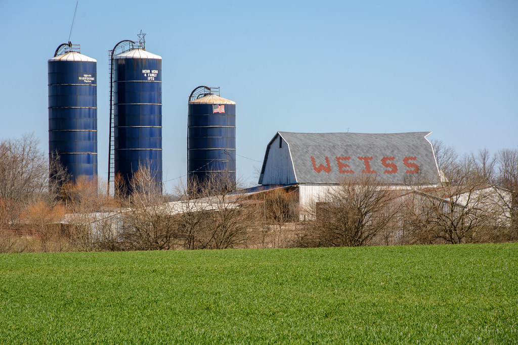
Weiss Farm
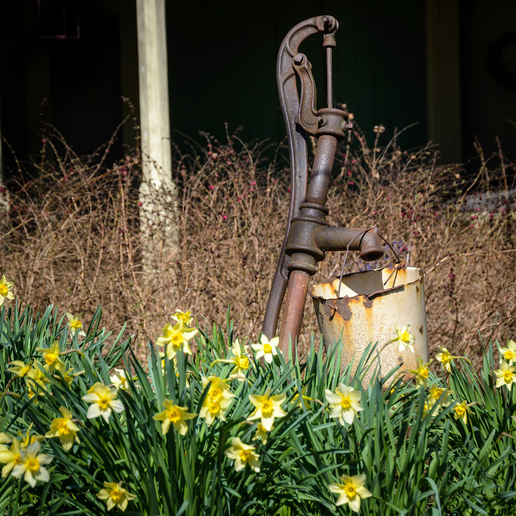
Water Pump and Daffodils
National Road Row Houses
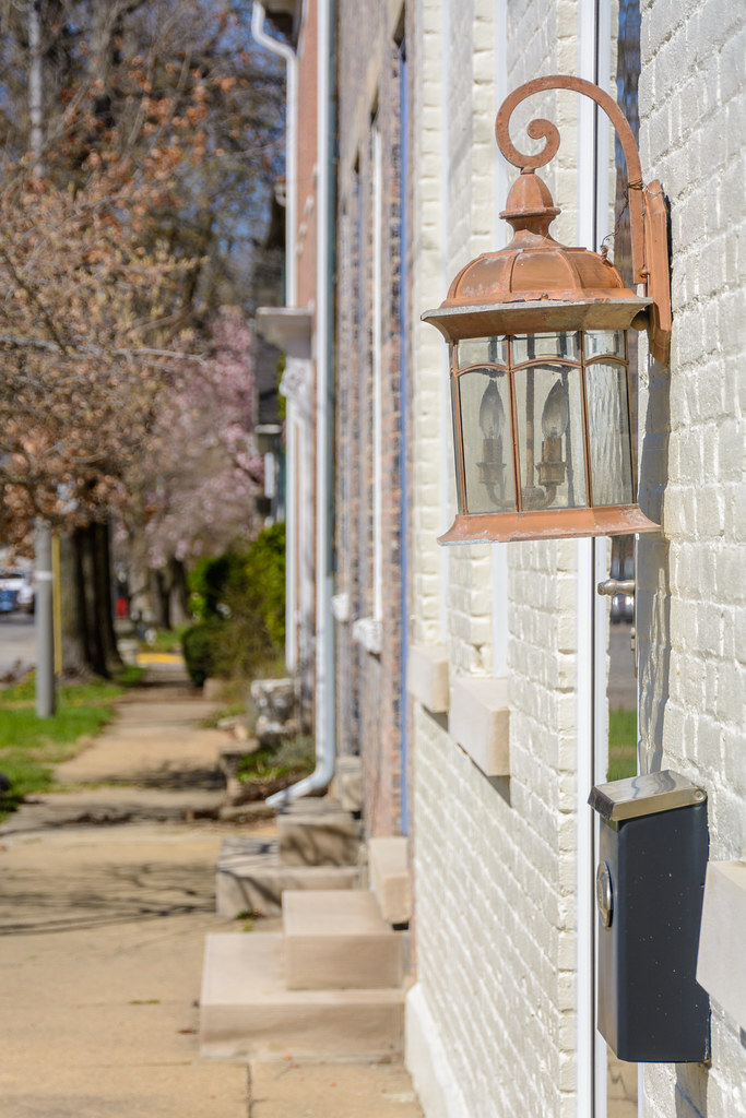
Row House Lantern
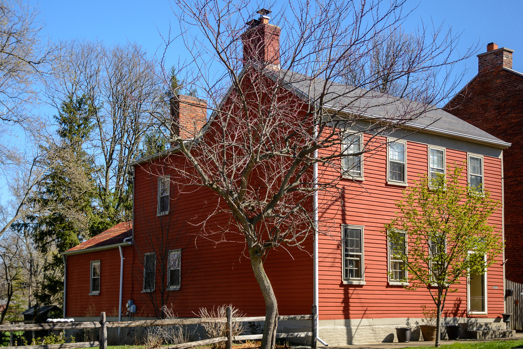
Architecture along the National Road
Milton, IN, 美國的地圖
搜索其他地方的日出日落時間
附近地點
Delaware Ct, Cambridge City, IN 美國Cambridge Square 2 Apartments
Cambridge City, IN 美國
Washington Township, IN, 美國
Jackson Township, IN, 美國
Dublin, IN, 美國
Whitaker Dr, Milton, IN 美國
N Co Rd E, Connersville, IN 美國
Dudley Township, IN, 美國
美國印第安纳州哈里森
N Eby Dr, Connersville, IN 美國
Waterloo Township, IN, 美國
E County Rd S, New Castle, IN 美國
New Lisbon, IN, 美國
Sunset Ave, Connersville, IN 美國
Market St, Connersville, IN 美國
Connersville, IN, 美國
Liberty Township, IN, 美國
Center Township, IN, 美國
W Main St, Centerville, IN 美國
Centerville, IN 美國
最近搜索
- Redondo Ave, Long Beach, CA 美國的日出日落時間表
- Ulitsa Kalinina, 79, Rezh, Sverdlovskaya oblast', 俄羅斯的日出日落時間表
- Leguwa 尼泊爾的日出日落時間表
- Shustino, Vladimir Oblast, 俄羅斯的日出日落時間表
- Lampiasi St, Sarasota, FL 美國的日出日落時間表
- 日本〒- Toyama, Kubomotomachi, 12−31 APAガーデンコート稲荷的日出日落時間表
- 台灣宜蘭縣大同鄉加羅湖的日出日落時間表
- 日本〒- 愛媛縣今治市 Sekizenoge大下港的日出日落時間表
- -1 Sekizenōge, Imabari, Ehime -日本Oge port Ferry Terminal的日出日落時間表
- 阿根廷布宜諾斯艾利斯聖特爾莫區的日出日落時間表