Market St, Connersville, IN 美國的日出日落時間表
Location: 美國 > 印第安納州 > 費耶特縣 > IN 美國 > 美國 >
時區:
America/New_York
當地時間:
2024-04-30 16:47:17
經度:
-85.1409129
緯度:
39.6414466
今天日出時間:
06:39:58 AM
今天日落時間:
08:35:09 PM
今天日照時長:
13h 55m 11s
明天日出時間:
06:38:46 AM
明天日落時間:
08:36:09 PM
明天日照時長:
13h 57m 23s
顯示所有日期
| 日期 | 日出 | 日落 | 日照時長 |
|---|---|---|---|
| 2024年01月01日 | 08:01:18 AM | 05:27:22 PM | 9h 26m 4s |
| 2024年01月02日 | 08:01:23 AM | 05:28:12 PM | 9h 26m 49s |
| 2024年01月03日 | 08:01:27 AM | 05:29:04 PM | 9h 27m 37s |
| 2024年01月04日 | 08:01:28 AM | 05:29:57 PM | 9h 28m 29s |
| 2024年01月05日 | 08:01:26 AM | 05:30:52 PM | 9h 29m 26s |
| 2024年01月06日 | 08:01:23 AM | 05:31:48 PM | 9h 30m 25s |
| 2024年01月07日 | 08:01:17 AM | 05:32:45 PM | 9h 31m 28s |
| 2024年01月08日 | 08:01:10 AM | 05:33:43 PM | 9h 32m 33s |
| 2024年01月09日 | 08:01:00 AM | 05:34:43 PM | 9h 33m 43s |
| 2024年01月10日 | 08:00:47 AM | 05:35:43 PM | 9h 34m 56s |
| 2024年01月11日 | 08:00:33 AM | 05:36:45 PM | 9h 36m 12s |
| 2024年01月12日 | 08:00:17 AM | 05:37:47 PM | 9h 37m 30s |
| 2024年01月13日 | 07:59:58 AM | 05:38:51 PM | 9h 38m 53s |
| 2024年01月14日 | 07:59:37 AM | 05:39:55 PM | 9h 40m 18s |
| 2024年01月15日 | 07:59:14 AM | 05:41:00 PM | 9h 41m 46s |
| 2024年01月16日 | 07:58:49 AM | 05:42:06 PM | 9h 43m 17s |
| 2024年01月17日 | 07:58:22 AM | 05:43:12 PM | 9h 44m 50s |
| 2024年01月18日 | 07:57:53 AM | 05:44:19 PM | 9h 46m 26s |
| 2024年01月19日 | 07:57:21 AM | 05:45:27 PM | 9h 48m 6s |
| 2024年01月20日 | 07:56:48 AM | 05:46:35 PM | 9h 49m 47s |
| 2024年01月21日 | 07:56:13 AM | 05:47:44 PM | 9h 51m 31s |
| 2024年01月22日 | 07:55:36 AM | 05:48:53 PM | 9h 53m 17s |
| 2024年01月23日 | 07:54:56 AM | 05:50:03 PM | 9h 55m 7s |
| 2024年01月24日 | 07:54:15 AM | 05:51:13 PM | 9h 56m 58s |
| 2024年01月25日 | 07:53:32 AM | 05:52:23 PM | 9h 58m 51s |
| 2024年01月26日 | 07:52:47 AM | 05:53:33 PM | 10h 0m 46s |
| 2024年01月27日 | 07:52:00 AM | 05:54:44 PM | 10h 2m 44s |
| 2024年01月28日 | 07:51:12 AM | 05:55:55 PM | 10h 4m 43s |
| 2024年01月29日 | 07:50:22 AM | 05:57:06 PM | 10h 6m 44s |
| 2024年01月30日 | 07:49:29 AM | 05:58:18 PM | 10h 8m 49s |
| 2024年01月31日 | 07:48:36 AM | 05:59:29 PM | 10h 10m 53s |
| 2024年02月01日 | 07:47:40 AM | 06:00:40 PM | 10h 13m 0s |
| 2024年02月02日 | 07:46:43 AM | 06:01:52 PM | 10h 15m 9s |
| 2024年02月03日 | 07:45:44 AM | 06:03:03 PM | 10h 17m 19s |
| 2024年02月04日 | 07:44:44 AM | 06:04:14 PM | 10h 19m 30s |
| 2024年02月05日 | 07:43:42 AM | 06:05:26 PM | 10h 21m 44s |
| 2024年02月06日 | 07:42:38 AM | 06:06:37 PM | 10h 23m 59s |
| 2024年02月07日 | 07:41:34 AM | 06:07:48 PM | 10h 26m 14s |
| 2024年02月08日 | 07:40:27 AM | 06:08:59 PM | 10h 28m 32s |
| 2024年02月09日 | 07:39:19 AM | 06:10:09 PM | 10h 30m 50s |
| 2024年02月10日 | 07:38:10 AM | 06:11:20 PM | 10h 33m 10s |
| 2024年02月11日 | 07:37:00 AM | 06:12:30 PM | 10h 35m 30s |
| 2024年02月12日 | 07:35:48 AM | 06:13:41 PM | 10h 37m 53s |
| 2024年02月13日 | 07:34:35 AM | 06:14:51 PM | 10h 40m 16s |
| 2024年02月14日 | 07:33:21 AM | 06:16:00 PM | 10h 42m 39s |
| 2024年02月15日 | 07:32:05 AM | 06:17:10 PM | 10h 45m 5s |
| 2024年02月16日 | 07:30:49 AM | 06:18:19 PM | 10h 47m 30s |
| 2024年02月17日 | 07:29:31 AM | 06:19:28 PM | 10h 49m 57s |
| 2024年02月18日 | 07:28:12 AM | 06:20:37 PM | 10h 52m 25s |
| 2024年02月19日 | 07:26:52 AM | 06:21:45 PM | 10h 54m 53s |
| 2024年02月20日 | 07:25:31 AM | 06:22:53 PM | 10h 57m 22s |
| 2024年02月21日 | 07:24:09 AM | 06:24:01 PM | 10h 59m 52s |
| 2024年02月22日 | 07:22:46 AM | 06:25:08 PM | 11h 2m 22s |
| 2024年02月23日 | 07:21:22 AM | 06:26:15 PM | 11h 4m 53s |
| 2024年02月24日 | 07:19:57 AM | 06:27:22 PM | 11h 7m 25s |
| 2024年02月25日 | 07:18:32 AM | 06:28:29 PM | 11h 9m 57s |
| 2024年02月26日 | 07:17:05 AM | 06:29:35 PM | 11h 12m 30s |
| 2024年02月27日 | 07:15:38 AM | 06:30:41 PM | 11h 15m 3s |
| 2024年02月28日 | 07:14:10 AM | 06:31:47 PM | 11h 17m 37s |
| 2024年02月29日 | 07:12:42 AM | 06:32:52 PM | 11h 20m 10s |
| 2024年03月01日 | 07:11:12 AM | 06:33:57 PM | 11h 22m 45s |
| 2024年03月02日 | 07:09:42 AM | 06:35:02 PM | 11h 25m 20s |
| 2024年03月03日 | 07:08:12 AM | 06:36:06 PM | 11h 27m 54s |
| 2024年03月04日 | 07:06:40 AM | 06:37:10 PM | 11h 30m 30s |
| 2024年03月05日 | 07:05:08 AM | 06:38:14 PM | 11h 33m 6s |
| 2024年03月06日 | 07:03:36 AM | 06:39:18 PM | 11h 35m 42s |
| 2024年03月07日 | 07:02:03 AM | 06:40:21 PM | 11h 38m 18s |
| 2024年03月08日 | 07:00:30 AM | 06:41:24 PM | 11h 40m 54s |
| 2024年03月09日 | 06:58:56 AM | 06:42:27 PM | 11h 43m 31s |
| 2024年03月10日 | 07:57:26 AM | 07:43:27 PM | 11h 46m 1s |
| 2024年03月11日 | 07:55:52 AM | 07:44:29 PM | 11h 48m 37s |
| 2024年03月12日 | 07:54:17 AM | 07:45:32 PM | 11h 51m 15s |
| 2024年03月13日 | 07:52:42 AM | 07:46:34 PM | 11h 53m 52s |
| 2024年03月14日 | 07:51:06 AM | 07:47:35 PM | 11h 56m 29s |
| 2024年03月15日 | 07:49:31 AM | 07:48:37 PM | 11h 59m 6s |
| 2024年03月16日 | 07:47:55 AM | 07:49:38 PM | 12h 1m 43s |
| 2024年03月17日 | 07:46:19 AM | 07:50:39 PM | 12h 4m 20s |
| 2024年03月18日 | 07:44:43 AM | 07:51:40 PM | 12h 6m 57s |
| 2024年03月19日 | 07:43:06 AM | 07:52:41 PM | 12h 9m 35s |
| 2024年03月20日 | 07:41:30 AM | 07:53:42 PM | 12h 12m 12s |
| 2024年03月21日 | 07:39:54 AM | 07:54:43 PM | 12h 14m 49s |
| 2024年03月22日 | 07:38:17 AM | 07:55:43 PM | 12h 17m 26s |
| 2024年03月23日 | 07:36:41 AM | 07:56:43 PM | 12h 20m 2s |
| 2024年03月24日 | 07:35:04 AM | 07:57:44 PM | 12h 22m 40s |
| 2024年03月25日 | 07:33:28 AM | 07:58:44 PM | 12h 25m 16s |
| 2024年03月26日 | 07:31:52 AM | 07:59:44 PM | 12h 27m 52s |
| 2024年03月27日 | 07:30:15 AM | 08:00:44 PM | 12h 30m 29s |
| 2024年03月28日 | 07:28:39 AM | 08:01:44 PM | 12h 33m 5s |
| 2024年03月29日 | 07:27:03 AM | 08:02:44 PM | 12h 35m 41s |
| 2024年03月30日 | 07:25:28 AM | 08:03:44 PM | 12h 38m 16s |
| 2024年03月31日 | 07:23:52 AM | 08:04:43 PM | 12h 40m 51s |
| 2024年04月01日 | 07:22:17 AM | 08:05:43 PM | 12h 43m 26s |
| 2024年04月02日 | 07:20:43 AM | 08:06:43 PM | 12h 46m 0s |
| 2024年04月03日 | 07:19:08 AM | 08:07:43 PM | 12h 48m 35s |
| 2024年04月04日 | 07:17:34 AM | 08:08:42 PM | 12h 51m 8s |
| 2024年04月05日 | 07:16:00 AM | 08:09:42 PM | 12h 53m 42s |
| 2024年04月06日 | 07:14:27 AM | 08:10:42 PM | 12h 56m 15s |
| 2024年04月07日 | 07:12:54 AM | 08:11:42 PM | 12h 58m 48s |
| 2024年04月08日 | 07:11:22 AM | 08:12:41 PM | 13h 1m 19s |
| 2024年04月09日 | 07:09:50 AM | 08:13:41 PM | 13h 3m 51s |
| 2024年04月10日 | 07:08:18 AM | 08:14:41 PM | 13h 6m 23s |
| 2024年04月11日 | 07:06:48 AM | 08:15:41 PM | 13h 8m 53s |
| 2024年04月12日 | 07:05:18 AM | 08:16:41 PM | 13h 11m 23s |
| 2024年04月13日 | 07:03:48 AM | 08:17:41 PM | 13h 13m 53s |
| 2024年04月14日 | 07:02:19 AM | 08:18:40 PM | 13h 16m 21s |
| 2024年04月15日 | 07:00:51 AM | 08:19:40 PM | 13h 18m 49s |
| 2024年04月16日 | 06:59:24 AM | 08:20:40 PM | 13h 21m 16s |
| 2024年04月17日 | 06:57:57 AM | 08:21:40 PM | 13h 23m 43s |
| 2024年04月18日 | 06:56:31 AM | 08:22:40 PM | 13h 26m 9s |
| 2024年04月19日 | 06:55:06 AM | 08:23:40 PM | 13h 28m 34s |
| 2024年04月20日 | 06:53:42 AM | 08:24:40 PM | 13h 30m 58s |
| 2024年04月21日 | 06:52:19 AM | 08:25:40 PM | 13h 33m 21s |
| 2024年04月22日 | 06:50:56 AM | 08:26:40 PM | 13h 35m 44s |
| 2024年04月23日 | 06:49:35 AM | 08:27:40 PM | 13h 38m 5s |
| 2024年04月24日 | 06:48:14 AM | 08:28:40 PM | 13h 40m 26s |
| 2024年04月25日 | 06:46:55 AM | 08:29:40 PM | 13h 42m 45s |
| 2024年04月26日 | 06:45:37 AM | 08:30:40 PM | 13h 45m 3s |
| 2024年04月27日 | 06:44:19 AM | 08:31:40 PM | 13h 47m 21s |
| 2024年04月28日 | 06:43:03 AM | 08:32:40 PM | 13h 49m 37s |
| 2024年04月29日 | 06:41:48 AM | 08:33:40 PM | 13h 51m 52s |
| 2024年04月30日 | 06:40:34 AM | 08:34:39 PM | 13h 54m 5s |
| 2024年05月01日 | 06:39:21 AM | 08:35:39 PM | 13h 56m 18s |
| 2024年05月02日 | 06:38:10 AM | 08:36:38 PM | 13h 58m 28s |
| 2024年05月03日 | 06:37:00 AM | 08:37:38 PM | 14h 0m 38s |
| 2024年05月04日 | 06:35:51 AM | 08:38:37 PM | 14h 2m 46s |
| 2024年05月05日 | 06:34:43 AM | 08:39:35 PM | 14h 4m 52s |
| 2024年05月06日 | 06:33:37 AM | 08:40:34 PM | 14h 6m 57s |
| 2024年05月07日 | 06:32:32 AM | 08:41:33 PM | 14h 9m 1s |
| 2024年05月08日 | 06:31:28 AM | 08:42:31 PM | 14h 11m 3s |
| 2024年05月09日 | 06:30:26 AM | 08:43:29 PM | 14h 13m 3s |
| 2024年05月10日 | 06:29:26 AM | 08:44:26 PM | 14h 15m 0s |
| 2024年05月11日 | 06:28:27 AM | 08:45:23 PM | 14h 16m 56s |
| 2024年05月12日 | 06:27:29 AM | 08:46:20 PM | 14h 18m 51s |
| 2024年05月13日 | 06:26:33 AM | 08:47:16 PM | 14h 20m 43s |
| 2024年05月14日 | 06:25:39 AM | 08:48:12 PM | 14h 22m 33s |
| 2024年05月15日 | 06:24:46 AM | 08:49:08 PM | 14h 24m 22s |
| 2024年05月16日 | 06:23:55 AM | 08:50:03 PM | 14h 26m 8s |
| 2024年05月17日 | 06:23:05 AM | 08:50:57 PM | 14h 27m 52s |
| 2024年05月18日 | 06:22:17 AM | 08:51:51 PM | 14h 29m 34s |
| 2024年05月19日 | 06:21:31 AM | 08:52:44 PM | 14h 31m 13s |
| 2024年05月20日 | 06:20:46 AM | 08:53:37 PM | 14h 32m 51s |
| 2024年05月21日 | 06:20:04 AM | 08:54:29 PM | 14h 34m 25s |
| 2024年05月22日 | 06:19:23 AM | 08:55:20 PM | 14h 35m 57s |
| 2024年05月23日 | 06:18:43 AM | 08:56:11 PM | 14h 37m 28s |
| 2024年05月24日 | 06:18:06 AM | 08:57:00 PM | 14h 38m 54s |
| 2024年05月25日 | 06:17:30 AM | 08:57:49 PM | 14h 40m 19s |
| 2024年05月26日 | 06:16:57 AM | 08:58:37 PM | 14h 41m 40s |
| 2024年05月27日 | 06:16:25 AM | 08:59:24 PM | 14h 42m 59s |
| 2024年05月28日 | 06:15:55 AM | 09:00:10 PM | 14h 44m 15s |
| 2024年05月29日 | 06:15:27 AM | 09:00:55 PM | 14h 45m 28s |
| 2024年05月30日 | 06:15:00 AM | 09:01:39 PM | 14h 46m 39s |
| 2024年05月31日 | 06:14:36 AM | 09:02:21 PM | 14h 47m 45s |
| 2024年06月01日 | 06:14:13 AM | 09:03:03 PM | 14h 48m 50s |
| 2024年06月02日 | 06:13:53 AM | 09:03:44 PM | 14h 49m 51s |
| 2024年06月03日 | 06:13:34 AM | 09:04:23 PM | 14h 50m 49s |
| 2024年06月04日 | 06:13:18 AM | 09:05:01 PM | 14h 51m 43s |
| 2024年06月05日 | 06:13:03 AM | 09:05:38 PM | 14h 52m 35s |
| 2024年06月06日 | 06:12:50 AM | 09:06:13 PM | 14h 53m 23s |
| 2024年06月07日 | 06:12:39 AM | 09:06:47 PM | 14h 54m 8s |
| 2024年06月08日 | 06:12:30 AM | 09:07:20 PM | 14h 54m 50s |
| 2024年06月09日 | 06:12:23 AM | 09:07:51 PM | 14h 55m 28s |
| 2024年06月10日 | 06:12:17 AM | 09:08:21 PM | 14h 56m 4s |
| 2024年06月11日 | 06:12:14 AM | 09:08:49 PM | 14h 56m 35s |
| 2024年06月12日 | 06:12:13 AM | 09:09:15 PM | 14h 57m 2s |
| 2024年06月13日 | 06:12:13 AM | 09:09:40 PM | 14h 57m 27s |
| 2024年06月14日 | 06:12:15 AM | 09:10:04 PM | 14h 57m 49s |
| 2024年06月15日 | 06:12:20 AM | 09:10:25 PM | 14h 58m 5s |
| 2024年06月16日 | 06:12:26 AM | 09:10:45 PM | 14h 58m 19s |
| 2024年06月17日 | 06:12:33 AM | 09:11:04 PM | 14h 58m 31s |
| 2024年06月18日 | 06:12:43 AM | 09:11:20 PM | 14h 58m 37s |
| 2024年06月19日 | 06:12:54 AM | 09:11:35 PM | 14h 58m 41s |
| 2024年06月20日 | 06:13:08 AM | 09:11:48 PM | 14h 58m 40s |
| 2024年06月21日 | 06:13:22 AM | 09:11:59 PM | 14h 58m 37s |
| 2024年06月22日 | 06:13:39 AM | 09:12:09 PM | 14h 58m 30s |
| 2024年06月23日 | 06:13:57 AM | 09:12:16 PM | 14h 58m 19s |
| 2024年06月24日 | 06:14:17 AM | 09:12:22 PM | 14h 58m 5s |
| 2024年06月25日 | 06:14:39 AM | 09:12:25 PM | 14h 57m 46s |
| 2024年06月26日 | 06:15:02 AM | 09:12:27 PM | 14h 57m 25s |
| 2024年06月27日 | 06:15:26 AM | 09:12:27 PM | 14h 57m 1s |
| 2024年06月28日 | 06:15:53 AM | 09:12:25 PM | 14h 56m 32s |
| 2024年06月29日 | 06:16:20 AM | 09:12:21 PM | 14h 56m 1s |
| 2024年06月30日 | 06:16:49 AM | 09:12:15 PM | 14h 55m 26s |
| 2024年07月01日 | 06:17:20 AM | 09:12:07 PM | 14h 54m 47s |
| 2024年07月02日 | 06:17:52 AM | 09:11:57 PM | 14h 54m 5s |
| 2024年07月03日 | 06:18:25 AM | 09:11:45 PM | 14h 53m 20s |
| 2024年07月04日 | 06:18:59 AM | 09:11:31 PM | 14h 52m 32s |
| 2024年07月05日 | 06:19:35 AM | 09:11:16 PM | 14h 51m 41s |
| 2024年07月06日 | 06:20:12 AM | 09:10:58 PM | 14h 50m 46s |
| 2024年07月07日 | 06:20:50 AM | 09:10:38 PM | 14h 49m 48s |
| 2024年07月08日 | 06:21:30 AM | 09:10:16 PM | 14h 48m 46s |
| 2024年07月09日 | 06:22:10 AM | 09:09:53 PM | 14h 47m 43s |
| 2024年07月10日 | 06:22:52 AM | 09:09:27 PM | 14h 46m 35s |
| 2024年07月11日 | 06:23:34 AM | 09:09:00 PM | 14h 45m 26s |
| 2024年07月12日 | 06:24:17 AM | 09:08:30 PM | 14h 44m 13s |
| 2024年07月13日 | 06:25:02 AM | 09:07:59 PM | 14h 42m 57s |
| 2024年07月14日 | 06:25:47 AM | 09:07:26 PM | 14h 41m 39s |
| 2024年07月15日 | 06:26:33 AM | 09:06:51 PM | 14h 40m 18s |
| 2024年07月16日 | 06:27:20 AM | 09:06:14 PM | 14h 38m 54s |
| 2024年07月17日 | 06:28:08 AM | 09:05:35 PM | 14h 37m 27s |
| 2024年07月18日 | 06:28:56 AM | 09:04:55 PM | 14h 35m 59s |
| 2024年07月19日 | 06:29:45 AM | 09:04:12 PM | 14h 34m 27s |
| 2024年07月20日 | 06:30:35 AM | 09:03:28 PM | 14h 32m 53s |
| 2024年07月21日 | 06:31:25 AM | 09:02:42 PM | 14h 31m 17s |
| 2024年07月22日 | 06:32:16 AM | 09:01:55 PM | 14h 29m 39s |
| 2024年07月23日 | 06:33:08 AM | 09:01:05 PM | 14h 27m 57s |
| 2024年07月24日 | 06:34:00 AM | 09:00:14 PM | 14h 26m 14s |
| 2024年07月25日 | 06:34:52 AM | 08:59:22 PM | 14h 24m 30s |
| 2024年07月26日 | 06:35:45 AM | 08:58:27 PM | 14h 22m 42s |
| 2024年07月27日 | 06:36:38 AM | 08:57:31 PM | 14h 20m 53s |
| 2024年07月28日 | 06:37:32 AM | 08:56:34 PM | 14h 19m 2s |
| 2024年07月29日 | 06:38:26 AM | 08:55:35 PM | 14h 17m 9s |
| 2024年07月30日 | 06:39:20 AM | 08:54:34 PM | 14h 15m 14s |
| 2024年07月31日 | 06:40:15 AM | 08:53:32 PM | 14h 13m 17s |
| 2024年08月01日 | 06:41:10 AM | 08:52:28 PM | 14h 11m 18s |
| 2024年08月02日 | 06:42:05 AM | 08:51:23 PM | 14h 9m 18s |
| 2024年08月03日 | 06:43:00 AM | 08:50:17 PM | 14h 7m 17s |
| 2024年08月04日 | 06:43:56 AM | 08:49:09 PM | 14h 5m 13s |
| 2024年08月05日 | 06:44:51 AM | 08:48:00 PM | 14h 3m 9s |
| 2024年08月06日 | 06:45:47 AM | 08:46:49 PM | 14h 1m 2s |
| 2024年08月07日 | 06:46:43 AM | 08:45:37 PM | 13h 58m 54s |
| 2024年08月08日 | 06:47:39 AM | 08:44:24 PM | 13h 56m 45s |
| 2024年08月09日 | 06:48:35 AM | 08:43:10 PM | 13h 54m 35s |
| 2024年08月10日 | 06:49:31 AM | 08:41:54 PM | 13h 52m 23s |
| 2024年08月11日 | 06:50:28 AM | 08:40:37 PM | 13h 50m 9s |
| 2024年08月12日 | 06:51:24 AM | 08:39:20 PM | 13h 47m 56s |
| 2024年08月13日 | 06:52:20 AM | 08:38:01 PM | 13h 45m 41s |
| 2024年08月14日 | 06:53:16 AM | 08:36:41 PM | 13h 43m 25s |
| 2024年08月15日 | 06:54:13 AM | 08:35:20 PM | 13h 41m 7s |
| 2024年08月16日 | 06:55:09 AM | 08:33:57 PM | 13h 38m 48s |
| 2024年08月17日 | 06:56:05 AM | 08:32:34 PM | 13h 36m 29s |
| 2024年08月18日 | 06:57:01 AM | 08:31:10 PM | 13h 34m 9s |
| 2024年08月19日 | 06:57:57 AM | 08:29:45 PM | 13h 31m 48s |
| 2024年08月20日 | 06:58:54 AM | 08:28:19 PM | 13h 29m 25s |
| 2024年08月21日 | 06:59:50 AM | 08:26:53 PM | 13h 27m 3s |
| 2024年08月22日 | 07:00:46 AM | 08:25:25 PM | 13h 24m 39s |
| 2024年08月23日 | 07:01:42 AM | 08:23:57 PM | 13h 22m 15s |
| 2024年08月24日 | 07:02:38 AM | 08:22:28 PM | 13h 19m 50s |
| 2024年08月25日 | 07:03:33 AM | 08:20:58 PM | 13h 17m 25s |
| 2024年08月26日 | 07:04:29 AM | 08:19:27 PM | 13h 14m 58s |
| 2024年08月27日 | 07:05:25 AM | 08:17:56 PM | 13h 12m 31s |
| 2024年08月28日 | 07:06:21 AM | 08:16:24 PM | 13h 10m 3s |
| 2024年08月29日 | 07:07:16 AM | 08:14:51 PM | 13h 7m 35s |
| 2024年08月30日 | 07:08:12 AM | 08:13:18 PM | 13h 5m 6s |
| 2024年08月31日 | 07:09:08 AM | 08:11:45 PM | 13h 2m 37s |
| 2024年09月01日 | 07:10:03 AM | 08:10:10 PM | 13h 0m 7s |
| 2024年09月02日 | 07:10:58 AM | 08:08:36 PM | 12h 57m 38s |
| 2024年09月03日 | 07:11:54 AM | 08:07:01 PM | 12h 55m 7s |
| 2024年09月04日 | 07:12:49 AM | 08:05:25 PM | 12h 52m 36s |
| 2024年09月05日 | 07:13:45 AM | 08:03:49 PM | 12h 50m 4s |
| 2024年09月06日 | 07:14:40 AM | 08:02:13 PM | 12h 47m 33s |
| 2024年09月07日 | 07:15:35 AM | 08:00:36 PM | 12h 45m 1s |
| 2024年09月08日 | 07:16:31 AM | 07:58:59 PM | 12h 42m 28s |
| 2024年09月09日 | 07:17:26 AM | 07:57:21 PM | 12h 39m 55s |
| 2024年09月10日 | 07:18:21 AM | 07:55:44 PM | 12h 37m 23s |
| 2024年09月11日 | 07:19:17 AM | 07:54:06 PM | 12h 34m 49s |
| 2024年09月12日 | 07:20:12 AM | 07:52:28 PM | 12h 32m 16s |
| 2024年09月13日 | 07:21:08 AM | 07:50:50 PM | 12h 29m 42s |
| 2024年09月14日 | 07:22:03 AM | 07:49:11 PM | 12h 27m 8s |
| 2024年09月15日 | 07:22:59 AM | 07:47:33 PM | 12h 24m 34s |
| 2024年09月16日 | 07:23:54 AM | 07:45:54 PM | 12h 22m 0s |
| 2024年09月17日 | 07:24:50 AM | 07:44:16 PM | 12h 19m 26s |
| 2024年09月18日 | 07:25:46 AM | 07:42:37 PM | 12h 16m 51s |
| 2024年09月19日 | 07:26:42 AM | 07:40:58 PM | 12h 14m 16s |
| 2024年09月20日 | 07:27:38 AM | 07:39:20 PM | 12h 11m 42s |
| 2024年09月21日 | 07:28:34 AM | 07:37:41 PM | 12h 9m 7s |
| 2024年09月22日 | 07:29:30 AM | 07:36:03 PM | 12h 6m 33s |
| 2024年09月23日 | 07:30:27 AM | 07:34:25 PM | 12h 3m 58s |
| 2024年09月24日 | 07:31:23 AM | 07:32:46 PM | 12h 1m 23s |
| 2024年09月25日 | 07:32:20 AM | 07:31:09 PM | 11h 58m 49s |
| 2024年09月26日 | 07:33:17 AM | 07:29:31 PM | 11h 56m 14s |
| 2024年09月27日 | 07:34:14 AM | 07:27:53 PM | 11h 53m 39s |
| 2024年09月28日 | 07:35:12 AM | 07:26:16 PM | 11h 51m 4s |
| 2024年09月29日 | 07:36:10 AM | 07:24:39 PM | 11h 48m 29s |
| 2024年09月30日 | 07:37:07 AM | 07:23:02 PM | 11h 45m 55s |
| 2024年10月01日 | 07:38:05 AM | 07:21:26 PM | 11h 43m 21s |
| 2024年10月02日 | 07:39:04 AM | 07:19:50 PM | 11h 40m 46s |
| 2024年10月03日 | 07:40:02 AM | 07:18:15 PM | 11h 38m 13s |
| 2024年10月04日 | 07:41:01 AM | 07:16:40 PM | 11h 35m 39s |
| 2024年10月05日 | 07:42:00 AM | 07:15:06 PM | 11h 33m 6s |
| 2024年10月06日 | 07:43:00 AM | 07:13:32 PM | 11h 30m 32s |
| 2024年10月07日 | 07:44:00 AM | 07:11:58 PM | 11h 27m 58s |
| 2024年10月08日 | 07:45:00 AM | 07:10:25 PM | 11h 25m 25s |
| 2024年10月09日 | 07:46:00 AM | 07:08:53 PM | 11h 22m 53s |
| 2024年10月10日 | 07:47:01 AM | 07:07:22 PM | 11h 20m 21s |
| 2024年10月11日 | 07:48:01 AM | 07:05:51 PM | 11h 17m 50s |
| 2024年10月12日 | 07:49:03 AM | 07:04:21 PM | 11h 15m 18s |
| 2024年10月13日 | 07:50:04 AM | 07:02:51 PM | 11h 12m 47s |
| 2024年10月14日 | 07:51:06 AM | 07:01:23 PM | 11h 10m 17s |
| 2024年10月15日 | 07:52:09 AM | 06:59:55 PM | 11h 7m 46s |
| 2024年10月16日 | 07:53:11 AM | 06:58:28 PM | 11h 5m 17s |
| 2024年10月17日 | 07:54:14 AM | 06:57:02 PM | 11h 2m 48s |
| 2024年10月18日 | 07:55:17 AM | 06:55:37 PM | 11h 0m 20s |
| 2024年10月19日 | 07:56:21 AM | 06:54:12 PM | 10h 57m 51s |
| 2024年10月20日 | 07:57:25 AM | 06:52:49 PM | 10h 55m 24s |
| 2024年10月21日 | 07:58:29 AM | 06:51:27 PM | 10h 52m 58s |
| 2024年10月22日 | 07:59:34 AM | 06:50:06 PM | 10h 50m 32s |
| 2024年10月23日 | 08:00:38 AM | 06:48:45 PM | 10h 48m 7s |
| 2024年10月24日 | 08:01:44 AM | 06:47:26 PM | 10h 45m 42s |
| 2024年10月25日 | 08:02:49 AM | 06:46:09 PM | 10h 43m 20s |
| 2024年10月26日 | 08:03:55 AM | 06:44:52 PM | 10h 40m 57s |
| 2024年10月27日 | 08:05:01 AM | 06:43:36 PM | 10h 38m 35s |
| 2024年10月28日 | 08:06:07 AM | 06:42:22 PM | 10h 36m 15s |
| 2024年10月29日 | 08:07:14 AM | 06:41:09 PM | 10h 33m 55s |
| 2024年10月30日 | 08:08:21 AM | 06:39:58 PM | 10h 31m 37s |
| 2024年10月31日 | 08:09:28 AM | 06:38:47 PM | 10h 29m 19s |
| 2024年11月01日 | 08:10:35 AM | 06:37:39 PM | 10h 27m 4s |
| 2024年11月02日 | 08:11:43 AM | 06:36:31 PM | 10h 24m 48s |
| 2024年11月03日 | 07:12:53 AM | 05:35:23 PM | 10h 22m 30s |
| 2024年11月04日 | 07:14:01 AM | 05:34:18 PM | 10h 20m 17s |
| 2024年11月05日 | 07:15:09 AM | 05:33:15 PM | 10h 18m 6s |
| 2024年11月06日 | 07:16:17 AM | 05:32:14 PM | 10h 15m 57s |
| 2024年11月07日 | 07:17:25 AM | 05:31:14 PM | 10h 13m 49s |
| 2024年11月08日 | 07:18:33 AM | 05:30:16 PM | 10h 11m 43s |
| 2024年11月09日 | 07:19:41 AM | 05:29:20 PM | 10h 9m 39s |
| 2024年11月10日 | 07:20:50 AM | 05:28:25 PM | 10h 7m 35s |
| 2024年11月11日 | 07:21:58 AM | 05:27:32 PM | 10h 5m 34s |
| 2024年11月12日 | 07:23:06 AM | 05:26:41 PM | 10h 3m 35s |
| 2024年11月13日 | 07:24:14 AM | 05:25:52 PM | 10h 1m 38s |
| 2024年11月14日 | 07:25:22 AM | 05:25:05 PM | 9h 59m 43s |
| 2024年11月15日 | 07:26:29 AM | 05:24:19 PM | 9h 57m 50s |
| 2024年11月16日 | 07:27:37 AM | 05:23:35 PM | 9h 55m 58s |
| 2024年11月17日 | 07:28:44 AM | 05:22:53 PM | 9h 54m 9s |
| 2024年11月18日 | 07:29:51 AM | 05:22:13 PM | 9h 52m 22s |
| 2024年11月19日 | 07:30:57 AM | 05:21:36 PM | 9h 50m 39s |
| 2024年11月20日 | 07:32:03 AM | 05:21:00 PM | 9h 48m 57s |
| 2024年11月21日 | 07:33:09 AM | 05:20:26 PM | 9h 47m 17s |
| 2024年11月22日 | 07:34:14 AM | 05:19:54 PM | 9h 45m 40s |
| 2024年11月23日 | 07:35:19 AM | 05:19:24 PM | 9h 44m 5s |
| 2024年11月24日 | 07:36:23 AM | 05:18:57 PM | 9h 42m 34s |
| 2024年11月25日 | 07:37:26 AM | 05:18:31 PM | 9h 41m 5s |
| 2024年11月26日 | 07:38:29 AM | 05:18:08 PM | 9h 39m 39s |
| 2024年11月27日 | 07:39:31 AM | 05:17:47 PM | 9h 38m 16s |
| 2024年11月28日 | 07:40:32 AM | 05:17:28 PM | 9h 36m 56s |
| 2024年11月29日 | 07:41:33 AM | 05:17:11 PM | 9h 35m 38s |
| 2024年11月30日 | 07:42:32 AM | 05:16:56 PM | 9h 34m 24s |
| 2024年12月01日 | 07:43:31 AM | 05:16:44 PM | 9h 33m 13s |
| 2024年12月02日 | 07:44:28 AM | 05:16:34 PM | 9h 32m 6s |
| 2024年12月03日 | 07:45:25 AM | 05:16:26 PM | 9h 31m 1s |
| 2024年12月04日 | 07:46:20 AM | 05:16:20 PM | 9h 30m 0s |
| 2024年12月05日 | 07:47:14 AM | 05:16:17 PM | 9h 29m 3s |
| 2024年12月06日 | 07:48:07 AM | 05:16:16 PM | 9h 28m 9s |
| 2024年12月07日 | 07:48:59 AM | 05:16:17 PM | 9h 27m 18s |
| 2024年12月08日 | 07:49:49 AM | 05:16:20 PM | 9h 26m 31s |
| 2024年12月09日 | 07:50:38 AM | 05:16:25 PM | 9h 25m 47s |
| 2024年12月10日 | 07:51:26 AM | 05:16:33 PM | 9h 25m 7s |
| 2024年12月11日 | 07:52:12 AM | 05:16:43 PM | 9h 24m 31s |
| 2024年12月12日 | 07:52:56 AM | 05:16:55 PM | 9h 23m 59s |
| 2024年12月13日 | 07:53:39 AM | 05:17:09 PM | 9h 23m 30s |
| 2024年12月14日 | 07:54:21 AM | 05:17:26 PM | 9h 23m 5s |
| 2024年12月15日 | 07:55:00 AM | 05:17:44 PM | 9h 22m 44s |
| 2024年12月16日 | 07:55:38 AM | 05:18:05 PM | 9h 22m 27s |
| 2024年12月17日 | 07:56:15 AM | 05:18:28 PM | 9h 22m 13s |
| 2024年12月18日 | 07:56:49 AM | 05:18:53 PM | 9h 22m 4s |
| 2024年12月19日 | 07:57:21 AM | 05:19:20 PM | 9h 21m 59s |
| 2024年12月20日 | 07:57:52 AM | 05:19:49 PM | 9h 21m 57s |
| 2024年12月21日 | 07:58:21 AM | 05:20:20 PM | 9h 21m 59s |
| 2024年12月22日 | 07:58:48 AM | 05:20:52 PM | 9h 22m 4s |
| 2024年12月23日 | 07:59:12 AM | 05:21:27 PM | 9h 22m 15s |
| 2024年12月24日 | 07:59:35 AM | 05:22:04 PM | 9h 22m 29s |
| 2024年12月25日 | 07:59:56 AM | 05:22:42 PM | 9h 22m 46s |
| 2024年12月26日 | 08:00:15 AM | 05:23:23 PM | 9h 23m 8s |
| 2024年12月27日 | 08:00:31 AM | 05:24:05 PM | 9h 23m 34s |
| 2024年12月28日 | 08:00:46 AM | 05:24:49 PM | 9h 24m 3s |
| 2024年12月29日 | 08:00:58 AM | 05:25:34 PM | 9h 24m 36s |
| 2024年12月30日 | 08:01:08 AM | 05:26:21 PM | 9h 25m 13s |
日出日落照片

Sun Sets Over a Western Wayne County Farm
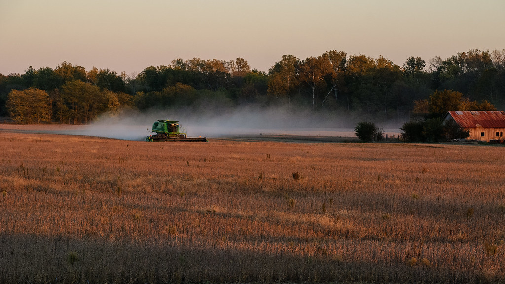
Combining Soybeans at Sunset
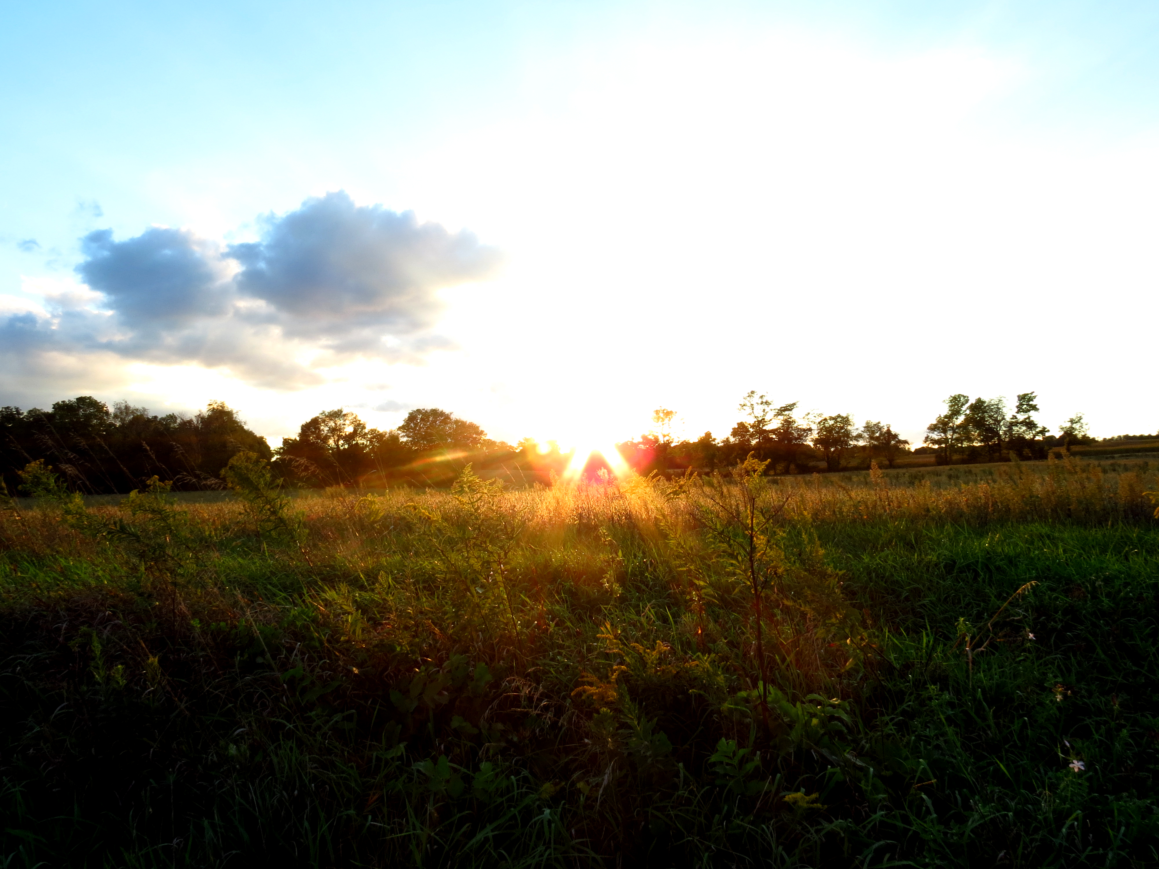
Sunset Quakertown, Indiana
Sunset on the Farm
Sunset from Alquina School, Alquina, IN
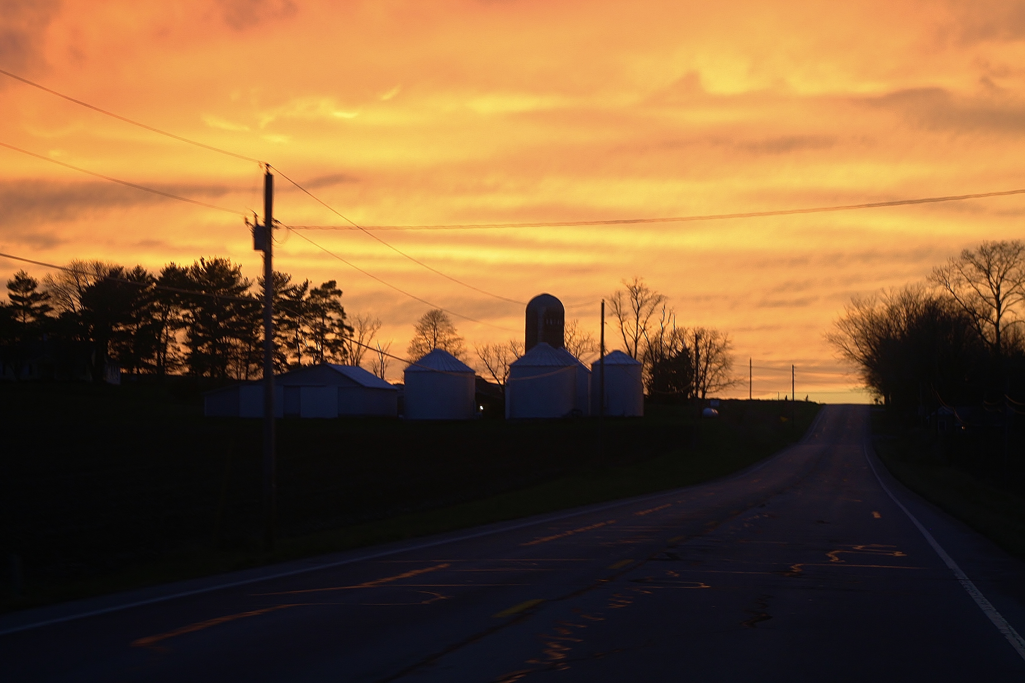
Twilight on the Farm
County Road 450 West
Backlands Indiana
3 BALD EAGLES IN THIS IMAGE ALONG WITH SEVERAL GREAT BLUE HERONS.
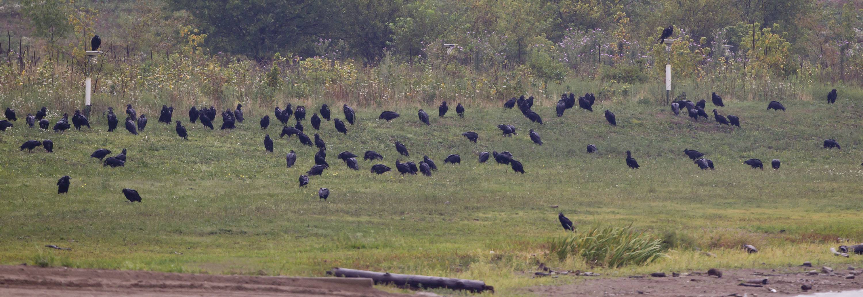
BLACK VULTURES
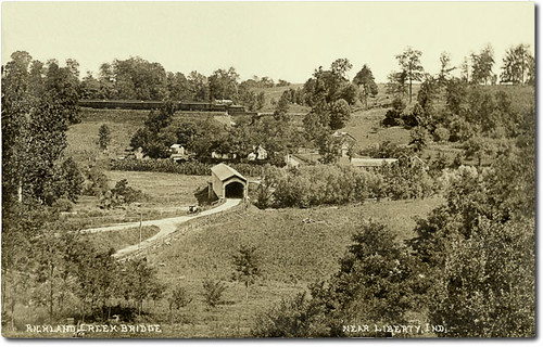
Richland Creek Valley and covered bridge near Liberty, Indiana
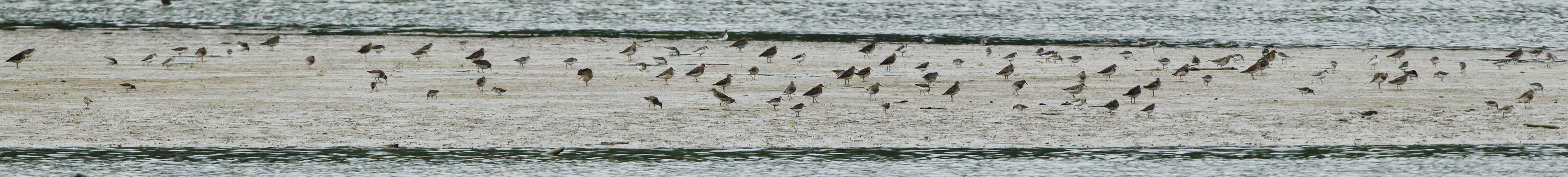
SHOREBIRDS ON THE MUDFLAT
Market St, Connersville, IN 美國的地圖
搜索其他地方的日出日落時間
附近地點
Connersville, IN, 美國
Sunset Ave, Connersville, IN 美國
Connersville Township, IN 美國
N Eby Dr, Connersville, IN 美國
美國印第安納州費耶特縣
美國印第安纳州哈里森
N Co Rd E, Connersville, IN 美國
Waterloo Township, IN, 美國
Whitaker Dr, Milton, IN 美國
Jennings Township, IN, 美國
E Alquina Rd, Connersville, IN 美國
S Baldwin St, Connersville, IN 美國
Columbia Township, IN 美國
美國印第安纳州奥兰治
Washington Township, IN, 美國
美國印第安纳州利伯蒂
Milton, IN, 美國
美國印第安纳州劳雷尔
S Sanes Rd, Connersville, IN 美國
Blooming Grove, IN 美國
最近搜索
- 中國广东省深圳市龙岗区海滨南路GFPQ+R9Q 海濱南路的日出日落時間表
- Redondo Ave, Long Beach, CA 美國的日出日落時間表
- Ulitsa Kalinina, 79, Rezh, Sverdlovskaya oblast', 俄羅斯的日出日落時間表
- Leguwa 尼泊爾的日出日落時間表
- Shustino, Vladimir Oblast, 俄羅斯的日出日落時間表
- Lampiasi St, Sarasota, FL 美國的日出日落時間表
- 日本〒- Toyama, Kubomotomachi, 12−31 APAガーデンコート稲荷的日出日落時間表
- 台灣宜蘭縣大同鄉加羅湖的日出日落時間表
- 日本〒- 愛媛縣今治市 Sekizenoge大下港的日出日落時間表
- -1 Sekizenōge, Imabari, Ehime -日本Oge port Ferry Terminal的日出日落時間表