Sunrise Sunset Times of Whitwell, TN, USA
Location: United States > Tennessee > Marion County > Whitwell >
Timezone:
America/Chicago
Current Time:
2024-05-02 03:11:30
Longitude:
-85.4788065
Latitude:
35.2624058
Sunrise Today:
05:48:27 AM
Sunset Today:
07:29:10 PM
Daylength Today:
13h 40m 43s
Sunrise Tomorrow:
05:47:26 AM
Sunset Tomorrow:
07:29:59 PM
Daylength Tomorrow:
13h 42m 33s
Year Show All Dates
| Date | Sunrise | Sunset | Daylength |
|---|---|---|---|
| 01/01/2024 | 06:50:35 AM | 04:40:50 PM | 9h 50m 15s |
| 01/02/2024 | 06:50:44 AM | 04:41:36 PM | 9h 50m 52s |
| 01/03/2024 | 06:50:51 AM | 04:42:24 PM | 9h 51m 33s |
| 01/04/2024 | 06:50:56 AM | 04:43:13 PM | 9h 52m 17s |
| 01/05/2024 | 06:50:59 AM | 04:44:04 PM | 9h 53m 5s |
| 01/06/2024 | 06:51:00 AM | 04:44:55 PM | 9h 53m 55s |
| 01/07/2024 | 06:51:00 AM | 04:45:47 PM | 9h 54m 47s |
| 01/08/2024 | 06:50:57 AM | 04:46:40 PM | 9h 55m 43s |
| 01/09/2024 | 06:50:53 AM | 04:47:34 PM | 9h 56m 41s |
| 01/10/2024 | 06:50:46 AM | 04:48:29 PM | 9h 57m 43s |
| 01/11/2024 | 06:50:38 AM | 04:49:24 PM | 9h 58m 46s |
| 01/12/2024 | 06:50:28 AM | 04:50:20 PM | 9h 59m 52s |
| 01/13/2024 | 06:50:15 AM | 04:51:17 PM | 10h 1m 2s |
| 01/14/2024 | 06:50:01 AM | 04:52:15 PM | 10h 2m 14s |
| 01/15/2024 | 06:49:45 AM | 04:53:13 PM | 10h 3m 28s |
| 01/16/2024 | 06:49:27 AM | 04:54:11 PM | 10h 4m 44s |
| 01/17/2024 | 06:49:08 AM | 04:55:10 PM | 10h 6m 2s |
| 01/18/2024 | 06:48:46 AM | 04:56:10 PM | 10h 7m 24s |
| 01/19/2024 | 06:48:22 AM | 04:57:10 PM | 10h 8m 48s |
| 01/20/2024 | 06:47:57 AM | 04:58:10 PM | 10h 10m 13s |
| 01/21/2024 | 06:47:30 AM | 04:59:11 PM | 10h 11m 41s |
| 01/22/2024 | 06:47:01 AM | 05:00:11 PM | 10h 13m 10s |
| 01/23/2024 | 06:46:30 AM | 05:01:13 PM | 10h 14m 43s |
| 01/24/2024 | 06:45:57 AM | 05:02:14 PM | 10h 16m 17s |
| 01/25/2024 | 06:45:23 AM | 05:03:15 PM | 10h 17m 52s |
| 01/26/2024 | 06:44:47 AM | 05:04:17 PM | 10h 19m 30s |
| 01/27/2024 | 06:44:09 AM | 05:05:18 PM | 10h 21m 9s |
| 01/28/2024 | 06:43:30 AM | 05:06:20 PM | 10h 22m 50s |
| 01/29/2024 | 06:42:49 AM | 05:07:22 PM | 10h 24m 33s |
| 01/30/2024 | 06:42:06 AM | 05:08:23 PM | 10h 26m 17s |
| 01/31/2024 | 06:41:22 AM | 05:09:25 PM | 10h 28m 3s |
| 02/01/2024 | 06:40:36 AM | 05:10:27 PM | 10h 29m 51s |
| 02/02/2024 | 06:39:49 AM | 05:11:28 PM | 10h 31m 39s |
| 02/03/2024 | 06:39:00 AM | 05:12:30 PM | 10h 33m 30s |
| 02/04/2024 | 06:38:10 AM | 05:13:31 PM | 10h 35m 21s |
| 02/05/2024 | 06:37:18 AM | 05:14:32 PM | 10h 37m 14s |
| 02/06/2024 | 06:36:25 AM | 05:15:33 PM | 10h 39m 8s |
| 02/07/2024 | 06:35:30 AM | 05:16:33 PM | 10h 41m 3s |
| 02/08/2024 | 06:34:34 AM | 05:17:34 PM | 10h 43m 0s |
| 02/09/2024 | 06:33:37 AM | 05:18:34 PM | 10h 44m 57s |
| 02/10/2024 | 06:32:38 AM | 05:19:34 PM | 10h 46m 56s |
| 02/11/2024 | 06:31:39 AM | 05:20:34 PM | 10h 48m 55s |
| 02/12/2024 | 06:30:37 AM | 05:21:33 PM | 10h 50m 56s |
| 02/13/2024 | 06:29:35 AM | 05:22:32 PM | 10h 52m 57s |
| 02/14/2024 | 06:28:32 AM | 05:23:31 PM | 10h 54m 59s |
| 02/15/2024 | 06:27:27 AM | 05:24:30 PM | 10h 57m 3s |
| 02/16/2024 | 06:26:21 AM | 05:25:28 PM | 10h 59m 7s |
| 02/17/2024 | 06:25:14 AM | 05:26:26 PM | 11h 1m 12s |
| 02/18/2024 | 06:24:07 AM | 05:27:24 PM | 11h 3m 17s |
| 02/19/2024 | 06:22:58 AM | 05:28:21 PM | 11h 5m 23s |
| 02/20/2024 | 06:21:48 AM | 05:29:18 PM | 11h 7m 30s |
| 02/21/2024 | 06:20:37 AM | 05:30:14 PM | 11h 9m 37s |
| 02/22/2024 | 06:19:25 AM | 05:31:11 PM | 11h 11m 46s |
| 02/23/2024 | 06:18:13 AM | 05:32:07 PM | 11h 13m 54s |
| 02/24/2024 | 06:16:59 AM | 05:33:02 PM | 11h 16m 3s |
| 02/25/2024 | 06:15:45 AM | 05:33:57 PM | 11h 18m 12s |
| 02/26/2024 | 06:14:30 AM | 05:34:52 PM | 11h 20m 22s |
| 02/27/2024 | 06:13:14 AM | 05:35:47 PM | 11h 22m 33s |
| 02/28/2024 | 06:11:57 AM | 05:36:41 PM | 11h 24m 44s |
| 02/29/2024 | 06:10:40 AM | 05:37:35 PM | 11h 26m 55s |
| 03/01/2024 | 06:09:22 AM | 05:38:29 PM | 11h 29m 7s |
| 03/02/2024 | 06:08:03 AM | 05:39:22 PM | 11h 31m 19s |
| 03/03/2024 | 06:06:44 AM | 05:40:15 PM | 11h 33m 31s |
| 03/04/2024 | 06:05:24 AM | 05:41:08 PM | 11h 35m 44s |
| 03/05/2024 | 06:04:04 AM | 05:42:00 PM | 11h 37m 56s |
| 03/06/2024 | 06:02:43 AM | 05:42:52 PM | 11h 40m 9s |
| 03/07/2024 | 06:01:22 AM | 05:43:44 PM | 11h 42m 22s |
| 03/08/2024 | 06:00:00 AM | 05:44:35 PM | 11h 44m 35s |
| 03/09/2024 | 05:58:38 AM | 05:45:27 PM | 11h 46m 49s |
| 03/10/2024 | 06:57:18 AM | 06:46:16 PM | 11h 48m 58s |
| 03/11/2024 | 06:55:55 AM | 06:47:07 PM | 11h 51m 12s |
| 03/12/2024 | 06:54:32 AM | 06:47:57 PM | 11h 53m 25s |
| 03/13/2024 | 06:53:09 AM | 06:48:48 PM | 11h 55m 39s |
| 03/14/2024 | 06:51:45 AM | 06:49:38 PM | 11h 57m 53s |
| 03/15/2024 | 06:50:21 AM | 06:50:28 PM | 12h 0m 7s |
| 03/16/2024 | 06:48:56 AM | 06:51:18 PM | 12h 2m 22s |
| 03/17/2024 | 06:47:32 AM | 06:52:07 PM | 12h 4m 35s |
| 03/18/2024 | 06:46:07 AM | 06:52:57 PM | 12h 6m 50s |
| 03/19/2024 | 06:44:42 AM | 06:53:46 PM | 12h 9m 4s |
| 03/20/2024 | 06:43:17 AM | 06:54:35 PM | 12h 11m 18s |
| 03/21/2024 | 06:41:52 AM | 06:55:24 PM | 12h 13m 32s |
| 03/22/2024 | 06:40:28 AM | 06:56:13 PM | 12h 15m 45s |
| 03/23/2024 | 06:39:03 AM | 06:57:02 PM | 12h 17m 59s |
| 03/24/2024 | 06:37:38 AM | 06:57:51 PM | 12h 20m 13s |
| 03/25/2024 | 06:36:13 AM | 06:58:40 PM | 12h 22m 27s |
| 03/26/2024 | 06:34:48 AM | 06:59:28 PM | 12h 24m 40s |
| 03/27/2024 | 06:33:23 AM | 07:00:17 PM | 12h 26m 54s |
| 03/28/2024 | 06:31:59 AM | 07:01:05 PM | 12h 29m 6s |
| 03/29/2024 | 06:30:34 AM | 07:01:54 PM | 12h 31m 20s |
| 03/30/2024 | 06:29:10 AM | 07:02:42 PM | 12h 33m 32s |
| 03/31/2024 | 06:27:46 AM | 07:03:30 PM | 12h 35m 44s |
| 04/01/2024 | 06:26:22 AM | 07:04:19 PM | 12h 37m 57s |
| 04/02/2024 | 06:24:59 AM | 07:05:07 PM | 12h 40m 8s |
| 04/03/2024 | 06:23:36 AM | 07:05:56 PM | 12h 42m 20s |
| 04/04/2024 | 06:22:13 AM | 07:06:44 PM | 12h 44m 31s |
| 04/05/2024 | 06:20:51 AM | 07:07:32 PM | 12h 46m 41s |
| 04/06/2024 | 06:19:29 AM | 07:08:21 PM | 12h 48m 52s |
| 04/07/2024 | 06:18:07 AM | 07:09:09 PM | 12h 51m 2s |
| 04/08/2024 | 06:16:46 AM | 07:09:58 PM | 12h 53m 12s |
| 04/09/2024 | 06:15:26 AM | 07:10:46 PM | 12h 55m 20s |
| 04/10/2024 | 06:14:05 AM | 07:11:35 PM | 12h 57m 30s |
| 04/11/2024 | 06:12:46 AM | 07:12:23 PM | 12h 59m 37s |
| 04/12/2024 | 06:11:27 AM | 07:13:12 PM | 13h 1m 45s |
| 04/13/2024 | 06:10:09 AM | 07:14:01 PM | 13h 3m 52s |
| 04/14/2024 | 06:08:51 AM | 07:14:50 PM | 13h 5m 59s |
| 04/15/2024 | 06:07:34 AM | 07:15:39 PM | 13h 8m 5s |
| 04/16/2024 | 06:06:18 AM | 07:16:28 PM | 13h 10m 10s |
| 04/17/2024 | 06:05:02 AM | 07:17:17 PM | 13h 12m 15s |
| 04/18/2024 | 06:03:47 AM | 07:18:06 PM | 13h 14m 19s |
| 04/19/2024 | 06:02:33 AM | 07:18:55 PM | 13h 16m 22s |
| 04/20/2024 | 06:01:20 AM | 07:19:44 PM | 13h 18m 24s |
| 04/21/2024 | 06:00:07 AM | 07:20:33 PM | 13h 20m 26s |
| 04/22/2024 | 05:58:56 AM | 07:21:22 PM | 13h 22m 26s |
| 04/23/2024 | 05:57:45 AM | 07:22:12 PM | 13h 24m 27s |
| 04/24/2024 | 05:56:35 AM | 07:23:01 PM | 13h 26m 26s |
| 04/25/2024 | 05:55:26 AM | 07:23:51 PM | 13h 28m 25s |
| 04/26/2024 | 05:54:18 AM | 07:24:40 PM | 13h 30m 22s |
| 04/27/2024 | 05:53:12 AM | 07:25:29 PM | 13h 32m 17s |
| 04/28/2024 | 05:52:06 AM | 07:26:19 PM | 13h 34m 13s |
| 04/29/2024 | 05:51:01 AM | 07:27:08 PM | 13h 36m 7s |
| 04/30/2024 | 05:49:57 AM | 07:27:58 PM | 13h 38m 1s |
| 05/01/2024 | 05:48:55 AM | 07:28:47 PM | 13h 39m 52s |
| 05/02/2024 | 05:47:54 AM | 07:29:36 PM | 13h 41m 42s |
| 05/03/2024 | 05:46:53 AM | 07:30:26 PM | 13h 43m 33s |
| 05/04/2024 | 05:45:54 AM | 07:31:15 PM | 13h 45m 21s |
| 05/05/2024 | 05:44:56 AM | 07:32:04 PM | 13h 47m 8s |
| 05/06/2024 | 05:44:00 AM | 07:32:53 PM | 13h 48m 53s |
| 05/07/2024 | 05:43:05 AM | 07:33:42 PM | 13h 50m 37s |
| 05/08/2024 | 05:42:11 AM | 07:34:31 PM | 13h 52m 20s |
| 05/09/2024 | 05:41:18 AM | 07:35:19 PM | 13h 54m 1s |
| 05/10/2024 | 05:40:27 AM | 07:36:07 PM | 13h 55m 40s |
| 05/11/2024 | 05:39:37 AM | 07:36:55 PM | 13h 57m 18s |
| 05/12/2024 | 05:38:48 AM | 07:37:43 PM | 13h 58m 55s |
| 05/13/2024 | 05:38:01 AM | 07:38:31 PM | 14h 0m 30s |
| 05/14/2024 | 05:37:15 AM | 07:39:18 PM | 14h 2m 3s |
| 05/15/2024 | 05:36:31 AM | 07:40:05 PM | 14h 3m 34s |
| 05/16/2024 | 05:35:48 AM | 07:40:52 PM | 14h 5m 4s |
| 05/17/2024 | 05:35:07 AM | 07:41:38 PM | 14h 6m 31s |
| 05/18/2024 | 05:34:27 AM | 07:42:24 PM | 14h 7m 57s |
| 05/19/2024 | 05:33:49 AM | 07:43:09 PM | 14h 9m 20s |
| 05/20/2024 | 05:33:12 AM | 07:43:54 PM | 14h 10m 42s |
| 05/21/2024 | 05:32:37 AM | 07:44:38 PM | 14h 12m 1s |
| 05/22/2024 | 05:32:03 AM | 07:45:22 PM | 14h 13m 19s |
| 05/23/2024 | 05:31:31 AM | 07:46:05 PM | 14h 14m 34s |
| 05/24/2024 | 05:31:01 AM | 07:46:48 PM | 14h 15m 47s |
| 05/25/2024 | 05:30:32 AM | 07:47:30 PM | 14h 16m 58s |
| 05/26/2024 | 05:30:05 AM | 07:48:11 PM | 14h 18m 6s |
| 05/27/2024 | 05:29:40 AM | 07:48:52 PM | 14h 19m 12s |
| 05/28/2024 | 05:29:16 AM | 07:49:32 PM | 14h 20m 16s |
| 05/29/2024 | 05:28:54 AM | 07:50:11 PM | 14h 21m 17s |
| 05/30/2024 | 05:28:33 AM | 07:50:49 PM | 14h 22m 16s |
| 05/31/2024 | 05:28:14 AM | 07:51:26 PM | 14h 23m 12s |
| 06/01/2024 | 05:27:57 AM | 07:52:03 PM | 14h 24m 6s |
| 06/02/2024 | 05:27:41 AM | 07:52:38 PM | 14h 24m 57s |
| 06/03/2024 | 05:27:28 AM | 07:53:13 PM | 14h 25m 45s |
| 06/04/2024 | 05:27:15 AM | 07:53:46 PM | 14h 26m 31s |
| 06/05/2024 | 05:27:05 AM | 07:54:19 PM | 14h 27m 14s |
| 06/06/2024 | 05:26:56 AM | 07:54:50 PM | 14h 27m 54s |
| 06/07/2024 | 05:26:49 AM | 07:55:21 PM | 14h 28m 32s |
| 06/08/2024 | 05:26:43 AM | 07:55:50 PM | 14h 29m 7s |
| 06/09/2024 | 05:26:39 AM | 07:56:18 PM | 14h 29m 39s |
| 06/10/2024 | 05:26:37 AM | 07:56:44 PM | 14h 30m 7s |
| 06/11/2024 | 05:26:36 AM | 07:57:10 PM | 14h 30m 34s |
| 06/12/2024 | 05:26:37 AM | 07:57:34 PM | 14h 30m 57s |
| 06/13/2024 | 05:26:40 AM | 07:57:57 PM | 14h 31m 17s |
| 06/14/2024 | 05:26:44 AM | 07:58:19 PM | 14h 31m 35s |
| 06/15/2024 | 05:26:49 AM | 07:58:39 PM | 14h 31m 50s |
| 06/16/2024 | 05:26:57 AM | 07:58:58 PM | 14h 32m 1s |
| 06/17/2024 | 05:27:05 AM | 07:59:15 PM | 14h 32m 10s |
| 06/18/2024 | 05:27:16 AM | 07:59:31 PM | 14h 32m 15s |
| 06/19/2024 | 05:27:27 AM | 07:59:45 PM | 14h 32m 18s |
| 06/20/2024 | 05:27:41 AM | 07:59:58 PM | 14h 32m 17s |
| 06/21/2024 | 05:27:55 AM | 08:00:10 PM | 14h 32m 15s |
| 06/22/2024 | 05:28:11 AM | 08:00:20 PM | 14h 32m 9s |
| 06/23/2024 | 05:28:29 AM | 08:00:28 PM | 14h 31m 59s |
| 06/24/2024 | 05:28:47 AM | 08:00:35 PM | 14h 31m 48s |
| 06/25/2024 | 05:29:08 AM | 08:00:40 PM | 14h 31m 32s |
| 06/26/2024 | 05:29:29 AM | 08:00:43 PM | 14h 31m 14s |
| 06/27/2024 | 05:29:52 AM | 08:00:45 PM | 14h 30m 53s |
| 06/28/2024 | 05:30:16 AM | 08:00:45 PM | 14h 30m 29s |
| 06/29/2024 | 05:30:41 AM | 08:00:44 PM | 14h 30m 3s |
| 06/30/2024 | 05:31:07 AM | 08:00:40 PM | 14h 29m 33s |
| 07/01/2024 | 05:31:34 AM | 08:00:36 PM | 14h 29m 2s |
| 07/02/2024 | 05:32:03 AM | 08:00:29 PM | 14h 28m 26s |
| 07/03/2024 | 05:32:32 AM | 08:00:21 PM | 14h 27m 49s |
| 07/04/2024 | 05:33:03 AM | 08:00:11 PM | 14h 27m 8s |
| 07/05/2024 | 05:33:35 AM | 07:59:59 PM | 14h 26m 24s |
| 07/06/2024 | 05:34:07 AM | 07:59:46 PM | 14h 25m 39s |
| 07/07/2024 | 05:34:41 AM | 07:59:31 PM | 14h 24m 50s |
| 07/08/2024 | 05:35:15 AM | 07:59:14 PM | 14h 23m 59s |
| 07/09/2024 | 05:35:50 AM | 07:58:55 PM | 14h 23m 5s |
| 07/10/2024 | 05:36:26 AM | 07:58:35 PM | 14h 22m 9s |
| 07/11/2024 | 05:37:03 AM | 07:58:13 PM | 14h 21m 10s |
| 07/12/2024 | 05:37:41 AM | 07:57:50 PM | 14h 20m 9s |
| 07/13/2024 | 05:38:19 AM | 07:57:24 PM | 14h 19m 5s |
| 07/14/2024 | 05:38:58 AM | 07:56:58 PM | 14h 18m 0s |
| 07/15/2024 | 05:39:38 AM | 07:56:29 PM | 14h 16m 51s |
| 07/16/2024 | 05:40:18 AM | 07:55:59 PM | 14h 15m 41s |
| 07/17/2024 | 05:40:59 AM | 07:55:27 PM | 14h 14m 28s |
| 07/18/2024 | 05:41:40 AM | 07:54:53 PM | 14h 13m 13s |
| 07/19/2024 | 05:42:22 AM | 07:54:18 PM | 14h 11m 56s |
| 07/20/2024 | 05:43:04 AM | 07:53:41 PM | 14h 10m 37s |
| 07/21/2024 | 05:43:47 AM | 07:53:03 PM | 14h 9m 16s |
| 07/22/2024 | 05:44:30 AM | 07:52:23 PM | 14h 7m 53s |
| 07/23/2024 | 05:45:14 AM | 07:51:42 PM | 14h 6m 28s |
| 07/24/2024 | 05:45:57 AM | 07:50:59 PM | 14h 5m 2s |
| 07/25/2024 | 05:46:42 AM | 07:50:14 PM | 14h 3m 32s |
| 07/26/2024 | 05:47:26 AM | 07:49:28 PM | 14h 2m 2s |
| 07/27/2024 | 05:48:11 AM | 07:48:41 PM | 14h 0m 30s |
| 07/28/2024 | 05:48:56 AM | 07:47:52 PM | 13h 58m 56s |
| 07/29/2024 | 05:49:41 AM | 07:47:02 PM | 13h 57m 21s |
| 07/30/2024 | 05:50:26 AM | 07:46:10 PM | 13h 55m 44s |
| 07/31/2024 | 05:51:12 AM | 07:45:17 PM | 13h 54m 5s |
| 08/01/2024 | 05:51:57 AM | 07:44:22 PM | 13h 52m 25s |
| 08/02/2024 | 05:52:43 AM | 07:43:27 PM | 13h 50m 44s |
| 08/03/2024 | 05:53:29 AM | 07:42:29 PM | 13h 49m 0s |
| 08/04/2024 | 05:54:15 AM | 07:41:31 PM | 13h 47m 16s |
| 08/05/2024 | 05:55:01 AM | 07:40:31 PM | 13h 45m 30s |
| 08/06/2024 | 05:55:47 AM | 07:39:31 PM | 13h 43m 44s |
| 08/07/2024 | 05:56:33 AM | 07:38:28 PM | 13h 41m 55s |
| 08/08/2024 | 05:57:19 AM | 07:37:25 PM | 13h 40m 6s |
| 08/09/2024 | 05:58:05 AM | 07:36:21 PM | 13h 38m 16s |
| 08/10/2024 | 05:58:51 AM | 07:35:15 PM | 13h 36m 24s |
| 08/11/2024 | 05:59:37 AM | 07:34:09 PM | 13h 34m 32s |
| 08/12/2024 | 06:00:24 AM | 07:33:01 PM | 13h 32m 37s |
| 08/13/2024 | 06:01:09 AM | 07:31:52 PM | 13h 30m 43s |
| 08/14/2024 | 06:01:55 AM | 07:30:43 PM | 13h 28m 48s |
| 08/15/2024 | 06:02:41 AM | 07:29:32 PM | 13h 26m 51s |
| 08/16/2024 | 06:03:27 AM | 07:28:20 PM | 13h 24m 53s |
| 08/17/2024 | 06:04:13 AM | 07:27:08 PM | 13h 22m 55s |
| 08/18/2024 | 06:04:58 AM | 07:25:54 PM | 13h 20m 56s |
| 08/19/2024 | 06:05:44 AM | 07:24:40 PM | 13h 18m 56s |
| 08/20/2024 | 06:06:29 AM | 07:23:25 PM | 13h 16m 56s |
| 08/21/2024 | 06:07:15 AM | 07:22:09 PM | 13h 14m 54s |
| 08/22/2024 | 06:08:00 AM | 07:20:52 PM | 13h 12m 52s |
| 08/23/2024 | 06:08:45 AM | 07:19:34 PM | 13h 10m 49s |
| 08/24/2024 | 06:09:30 AM | 07:18:16 PM | 13h 8m 46s |
| 08/25/2024 | 06:10:15 AM | 07:16:57 PM | 13h 6m 42s |
| 08/26/2024 | 06:11:00 AM | 07:15:37 PM | 13h 4m 37s |
| 08/27/2024 | 06:11:45 AM | 07:14:17 PM | 13h 2m 32s |
| 08/28/2024 | 06:12:30 AM | 07:12:56 PM | 13h 0m 26s |
| 08/29/2024 | 06:13:14 AM | 07:11:34 PM | 12h 58m 20s |
| 08/30/2024 | 06:13:59 AM | 07:10:12 PM | 12h 56m 13s |
| 08/31/2024 | 06:14:43 AM | 07:08:50 PM | 12h 54m 7s |
| 09/01/2024 | 06:15:28 AM | 07:07:26 PM | 12h 51m 58s |
| 09/02/2024 | 06:16:12 AM | 07:06:03 PM | 12h 49m 51s |
| 09/03/2024 | 06:16:56 AM | 07:04:39 PM | 12h 47m 43s |
| 09/04/2024 | 06:17:40 AM | 07:03:14 PM | 12h 45m 34s |
| 09/05/2024 | 06:18:25 AM | 07:01:49 PM | 12h 43m 24s |
| 09/06/2024 | 06:19:09 AM | 07:00:24 PM | 12h 41m 15s |
| 09/07/2024 | 06:19:53 AM | 06:58:59 PM | 12h 39m 6s |
| 09/08/2024 | 06:20:37 AM | 06:57:33 PM | 12h 36m 56s |
| 09/09/2024 | 06:21:21 AM | 06:56:07 PM | 12h 34m 46s |
| 09/10/2024 | 06:22:05 AM | 06:54:40 PM | 12h 32m 35s |
| 09/11/2024 | 06:22:49 AM | 06:53:14 PM | 12h 30m 25s |
| 09/12/2024 | 06:23:33 AM | 06:51:47 PM | 12h 28m 14s |
| 09/13/2024 | 06:24:17 AM | 06:50:20 PM | 12h 26m 3s |
| 09/14/2024 | 06:25:02 AM | 06:48:53 PM | 12h 23m 51s |
| 09/15/2024 | 06:25:46 AM | 06:47:26 PM | 12h 21m 40s |
| 09/16/2024 | 06:26:30 AM | 06:45:59 PM | 12h 19m 29s |
| 09/17/2024 | 06:27:15 AM | 06:44:31 PM | 12h 17m 16s |
| 09/18/2024 | 06:27:59 AM | 06:43:04 PM | 12h 15m 5s |
| 09/19/2024 | 06:28:44 AM | 06:41:37 PM | 12h 12m 53s |
| 09/20/2024 | 06:29:29 AM | 06:40:10 PM | 12h 10m 41s |
| 09/21/2024 | 06:30:13 AM | 06:38:42 PM | 12h 8m 29s |
| 09/22/2024 | 06:30:58 AM | 06:37:15 PM | 12h 6m 17s |
| 09/23/2024 | 06:31:44 AM | 06:35:48 PM | 12h 4m 4s |
| 09/24/2024 | 06:32:29 AM | 06:34:22 PM | 12h 1m 53s |
| 09/25/2024 | 06:33:14 AM | 06:32:55 PM | 11h 59m 41s |
| 09/26/2024 | 06:34:00 AM | 06:31:29 PM | 11h 57m 29s |
| 09/27/2024 | 06:34:46 AM | 06:30:02 PM | 11h 55m 16s |
| 09/28/2024 | 06:35:32 AM | 06:28:36 PM | 11h 53m 4s |
| 09/29/2024 | 06:36:18 AM | 06:27:11 PM | 11h 50m 53s |
| 09/30/2024 | 06:37:05 AM | 06:25:46 PM | 11h 48m 41s |
| 10/01/2024 | 06:37:52 AM | 06:24:21 PM | 11h 46m 29s |
| 10/02/2024 | 06:38:39 AM | 06:22:56 PM | 11h 44m 17s |
| 10/03/2024 | 06:39:26 AM | 06:21:32 PM | 11h 42m 6s |
| 10/04/2024 | 06:40:13 AM | 06:20:09 PM | 11h 39m 56s |
| 10/05/2024 | 06:41:01 AM | 06:18:45 PM | 11h 37m 44s |
| 10/06/2024 | 06:41:49 AM | 06:17:23 PM | 11h 35m 34s |
| 10/07/2024 | 06:42:38 AM | 06:16:01 PM | 11h 33m 23s |
| 10/08/2024 | 06:43:27 AM | 06:14:39 PM | 11h 31m 12s |
| 10/09/2024 | 06:44:16 AM | 06:13:18 PM | 11h 29m 2s |
| 10/10/2024 | 06:45:05 AM | 06:11:58 PM | 11h 26m 53s |
| 10/11/2024 | 06:45:55 AM | 06:10:38 PM | 11h 24m 43s |
| 10/12/2024 | 06:46:45 AM | 06:09:20 PM | 11h 22m 35s |
| 10/13/2024 | 06:47:35 AM | 06:08:01 PM | 11h 20m 26s |
| 10/14/2024 | 06:48:26 AM | 06:06:44 PM | 11h 18m 18s |
| 10/15/2024 | 06:49:17 AM | 06:05:27 PM | 11h 16m 10s |
| 10/16/2024 | 06:50:09 AM | 06:04:11 PM | 11h 14m 2s |
| 10/17/2024 | 06:51:00 AM | 06:02:56 PM | 11h 11m 56s |
| 10/18/2024 | 06:51:53 AM | 06:01:42 PM | 11h 9m 49s |
| 10/19/2024 | 06:52:45 AM | 06:00:29 PM | 11h 7m 44s |
| 10/20/2024 | 06:53:38 AM | 05:59:17 PM | 11h 5m 39s |
| 10/21/2024 | 06:54:31 AM | 05:58:06 PM | 11h 3m 35s |
| 10/22/2024 | 06:55:25 AM | 05:56:55 PM | 11h 1m 30s |
| 10/23/2024 | 06:56:19 AM | 05:55:46 PM | 10h 59m 27s |
| 10/24/2024 | 06:57:14 AM | 05:54:38 PM | 10h 57m 24s |
| 10/25/2024 | 06:58:08 AM | 05:53:31 PM | 10h 55m 23s |
| 10/26/2024 | 06:59:03 AM | 05:52:25 PM | 10h 53m 22s |
| 10/27/2024 | 06:59:59 AM | 05:51:20 PM | 10h 51m 21s |
| 10/28/2024 | 07:00:54 AM | 05:50:17 PM | 10h 49m 23s |
| 10/29/2024 | 07:01:51 AM | 05:49:15 PM | 10h 47m 24s |
| 10/30/2024 | 07:02:47 AM | 05:48:14 PM | 10h 45m 27s |
| 10/31/2024 | 07:03:44 AM | 05:47:14 PM | 10h 43m 30s |
| 11/01/2024 | 07:04:40 AM | 05:46:15 PM | 10h 41m 35s |
| 11/02/2024 | 07:05:38 AM | 05:45:18 PM | 10h 39m 40s |
| 11/03/2024 | 06:06:38 AM | 04:44:20 PM | 10h 37m 42s |
| 11/04/2024 | 06:07:35 AM | 04:43:26 PM | 10h 35m 51s |
| 11/05/2024 | 06:08:33 AM | 04:42:33 PM | 10h 34m 0s |
| 11/06/2024 | 06:09:31 AM | 04:41:42 PM | 10h 32m 11s |
| 11/07/2024 | 06:10:30 AM | 04:40:52 PM | 10h 30m 22s |
| 11/08/2024 | 06:11:28 AM | 04:40:04 PM | 10h 28m 36s |
| 11/09/2024 | 06:12:27 AM | 04:39:17 PM | 10h 26m 50s |
| 11/10/2024 | 06:13:25 AM | 04:38:32 PM | 10h 25m 7s |
| 11/11/2024 | 06:14:24 AM | 04:37:49 PM | 10h 23m 25s |
| 11/12/2024 | 06:15:23 AM | 04:37:07 PM | 10h 21m 44s |
| 11/13/2024 | 06:16:22 AM | 04:36:27 PM | 10h 20m 5s |
| 11/14/2024 | 06:17:21 AM | 04:35:49 PM | 10h 18m 28s |
| 11/15/2024 | 06:18:20 AM | 04:35:12 PM | 10h 16m 52s |
| 11/16/2024 | 06:19:18 AM | 04:34:37 PM | 10h 15m 19s |
| 11/17/2024 | 06:20:17 AM | 04:34:04 PM | 10h 13m 47s |
| 11/18/2024 | 06:21:15 AM | 04:33:32 PM | 10h 12m 17s |
| 11/19/2024 | 06:22:14 AM | 04:33:03 PM | 10h 10m 49s |
| 11/20/2024 | 06:23:12 AM | 04:32:35 PM | 10h 9m 23s |
| 11/21/2024 | 06:24:10 AM | 04:32:09 PM | 10h 7m 59s |
| 11/22/2024 | 06:25:07 AM | 04:31:45 PM | 10h 6m 38s |
| 11/23/2024 | 06:26:04 AM | 04:31:23 PM | 10h 5m 19s |
| 11/24/2024 | 06:27:01 AM | 04:31:02 PM | 10h 4m 1s |
| 11/25/2024 | 06:27:57 AM | 04:30:44 PM | 10h 2m 47s |
| 11/26/2024 | 06:28:53 AM | 04:30:28 PM | 10h 1m 35s |
| 11/27/2024 | 06:29:49 AM | 04:30:13 PM | 10h 0m 24s |
| 11/28/2024 | 06:30:44 AM | 04:30:01 PM | 9h 59m 17s |
| 11/29/2024 | 06:31:38 AM | 04:29:50 PM | 9h 58m 12s |
| 11/30/2024 | 06:32:31 AM | 04:29:42 PM | 9h 57m 11s |
| 12/01/2024 | 06:33:24 AM | 04:29:35 PM | 9h 56m 11s |
| 12/02/2024 | 06:34:16 AM | 04:29:30 PM | 9h 55m 14s |
| 12/03/2024 | 06:35:07 AM | 04:29:28 PM | 9h 54m 21s |
| 12/04/2024 | 06:35:58 AM | 04:29:27 PM | 9h 53m 29s |
| 12/05/2024 | 06:36:47 AM | 04:29:28 PM | 9h 52m 41s |
| 12/06/2024 | 06:37:36 AM | 04:29:31 PM | 9h 51m 55s |
| 12/07/2024 | 06:38:23 AM | 04:29:37 PM | 9h 51m 14s |
| 12/08/2024 | 06:39:10 AM | 04:29:44 PM | 9h 50m 34s |
| 12/09/2024 | 06:39:55 AM | 04:29:53 PM | 9h 49m 58s |
| 12/10/2024 | 06:40:40 AM | 04:30:04 PM | 9h 49m 24s |
| 12/11/2024 | 06:41:23 AM | 04:30:17 PM | 9h 48m 54s |
| 12/12/2024 | 06:42:05 AM | 04:30:32 PM | 9h 48m 27s |
| 12/13/2024 | 06:42:45 AM | 04:30:48 PM | 9h 48m 3s |
| 12/14/2024 | 06:43:24 AM | 04:31:07 PM | 9h 47m 43s |
| 12/15/2024 | 06:44:02 AM | 04:31:27 PM | 9h 47m 25s |
| 12/16/2024 | 06:44:39 AM | 04:31:49 PM | 9h 47m 10s |
| 12/17/2024 | 06:45:14 AM | 04:32:13 PM | 9h 46m 59s |
| 12/18/2024 | 06:45:47 AM | 04:32:39 PM | 9h 46m 52s |
| 12/19/2024 | 06:46:19 AM | 04:33:07 PM | 9h 46m 48s |
| 12/20/2024 | 06:46:50 AM | 04:33:36 PM | 9h 46m 46s |
| 12/21/2024 | 06:47:19 AM | 04:34:07 PM | 9h 46m 48s |
| 12/22/2024 | 06:47:46 AM | 04:34:39 PM | 9h 46m 53s |
| 12/23/2024 | 06:48:11 AM | 04:35:13 PM | 9h 47m 2s |
| 12/24/2024 | 06:48:35 AM | 04:35:49 PM | 9h 47m 14s |
| 12/25/2024 | 06:48:57 AM | 04:36:26 PM | 9h 47m 29s |
| 12/26/2024 | 06:49:18 AM | 04:37:04 PM | 9h 47m 46s |
| 12/27/2024 | 06:49:36 AM | 04:37:45 PM | 9h 48m 9s |
| 12/28/2024 | 06:49:53 AM | 04:38:26 PM | 9h 48m 33s |
| 12/29/2024 | 06:50:08 AM | 04:39:09 PM | 9h 49m 1s |
| 12/30/2024 | 06:50:21 AM | 04:39:53 PM | 9h 49m 32s |
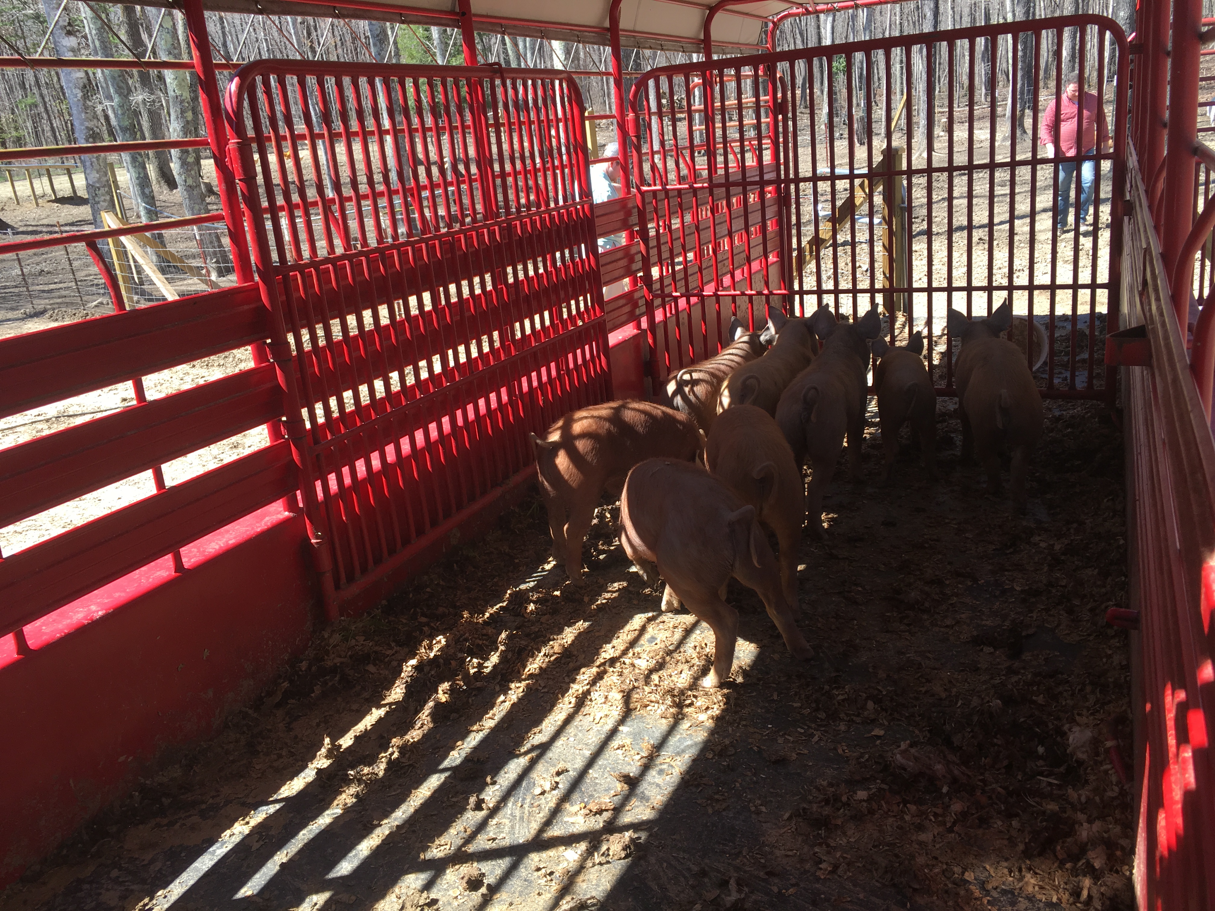
Sunrise & Sunset Photos

Sunset in Sequatchie Valley
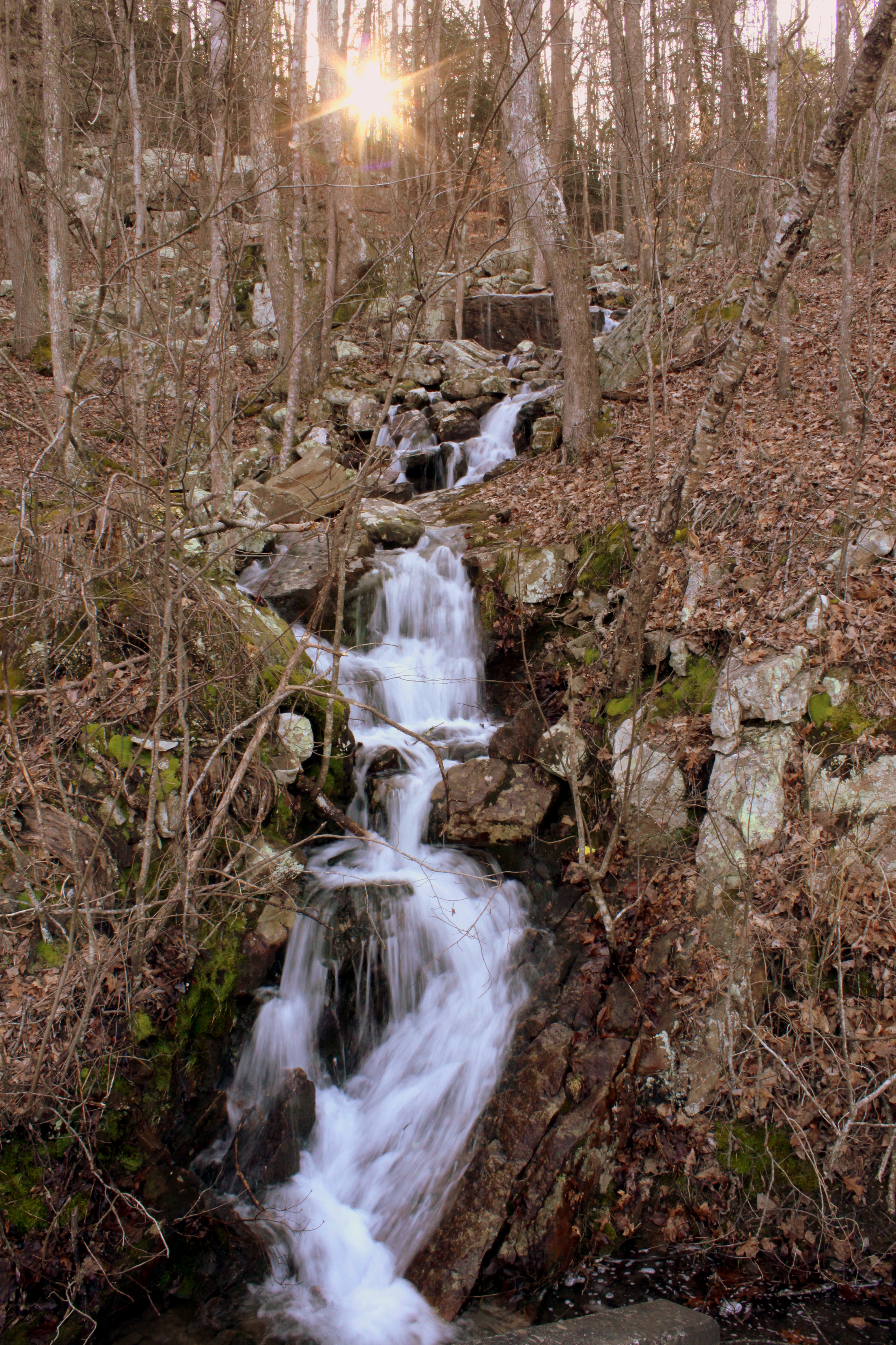
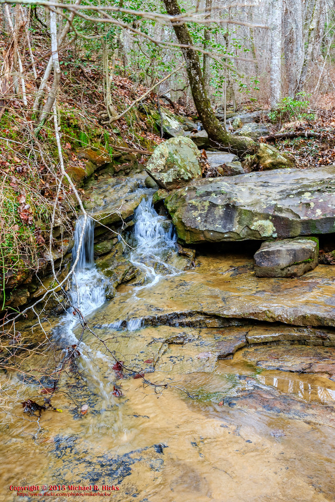
Unnamed waterfall one seen along the old Dixie Highway
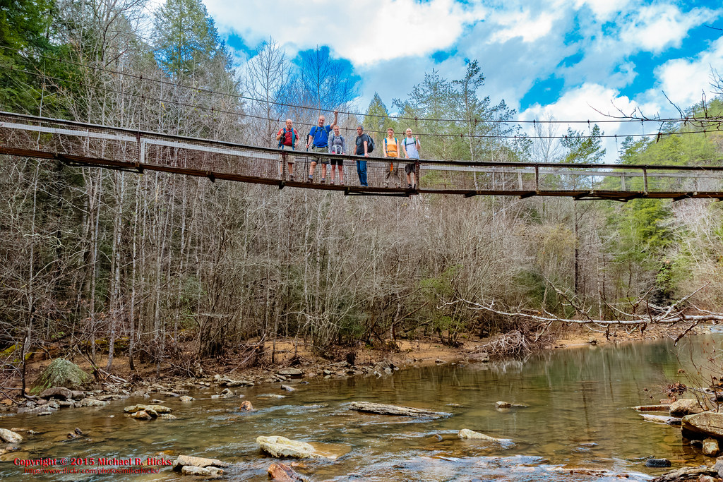
On Suck Creek Bridge
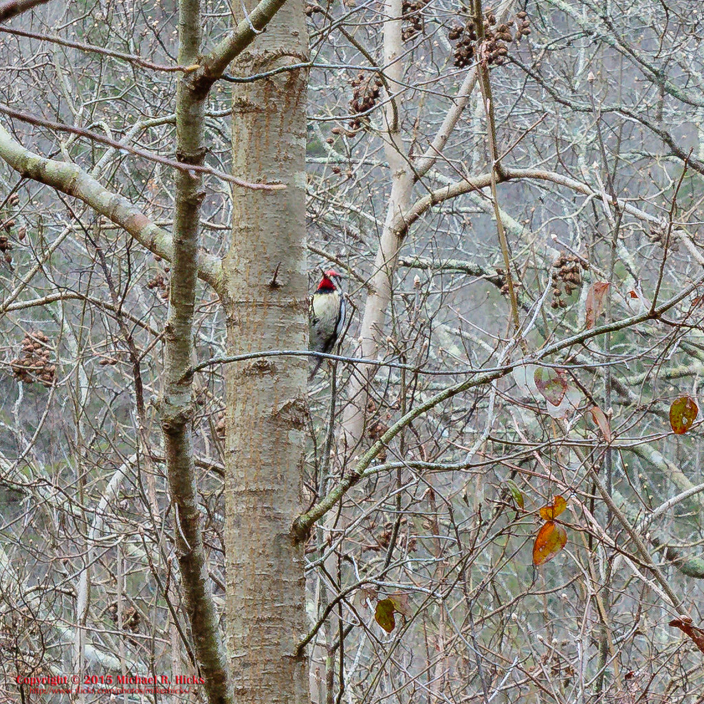
Yellow-bellied Sapsucker
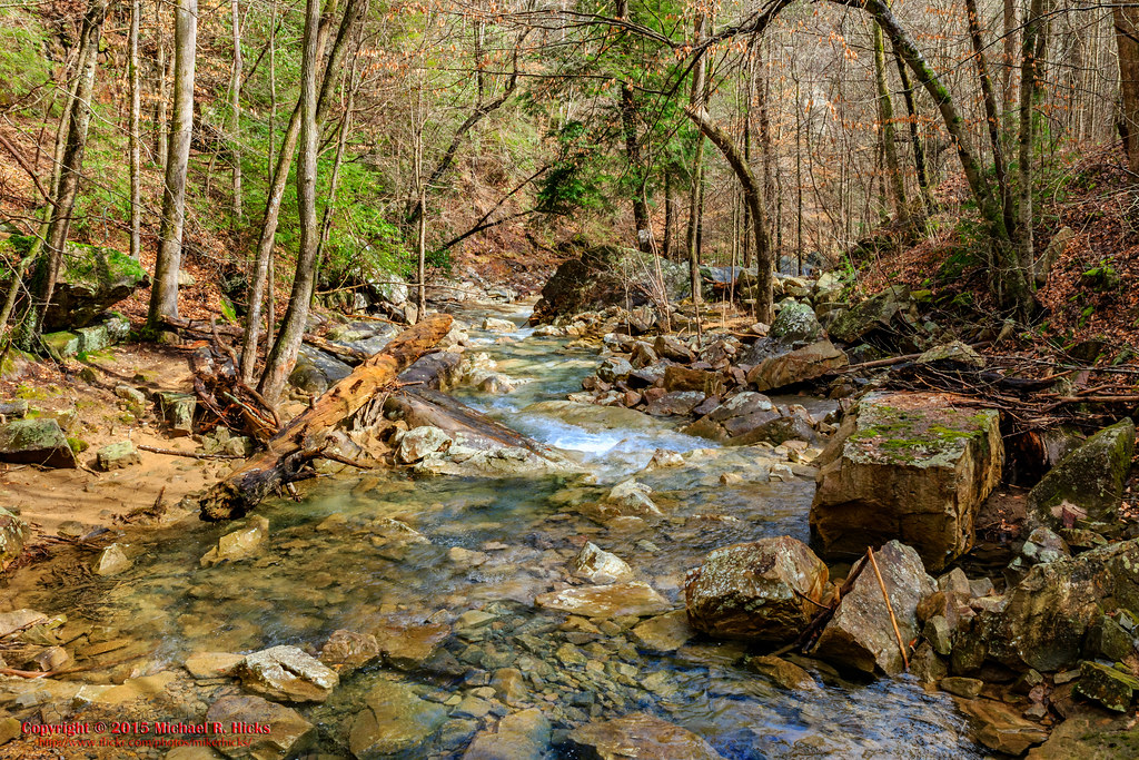
South Suck Creek
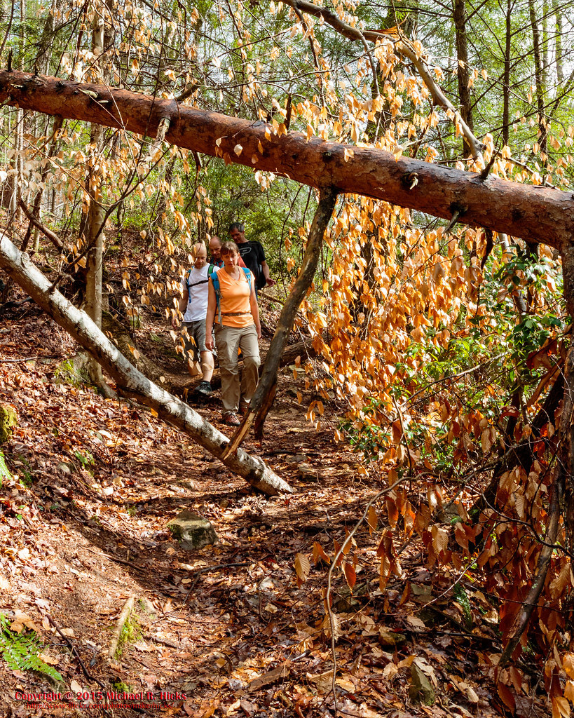
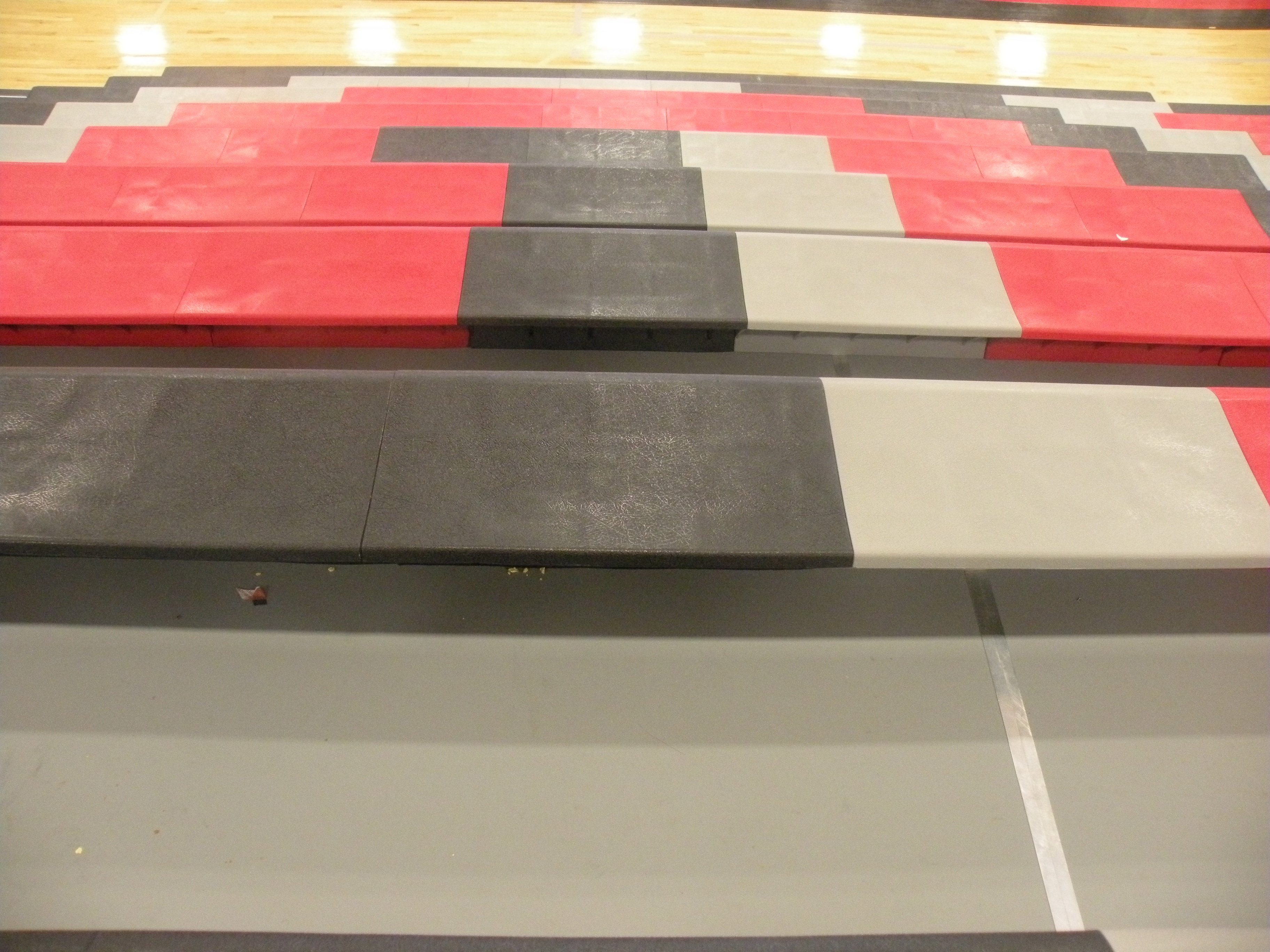
On the Trail

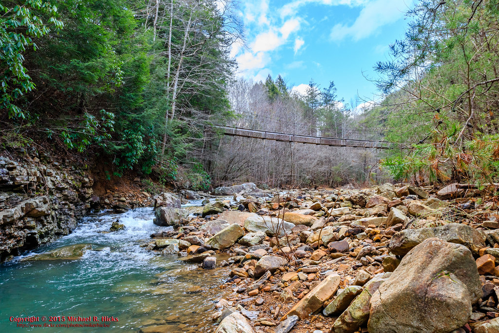
North Suck Creek
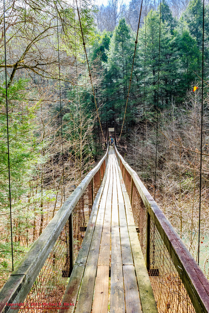
North Suck Creek Bridge
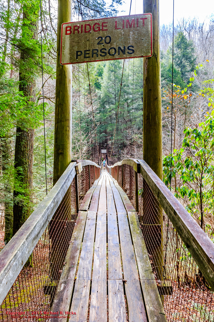
North Suck Creek Bridge
North Suck Creek Bridge
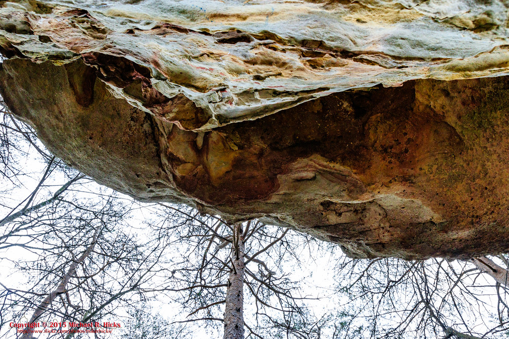
Mushroom Rock
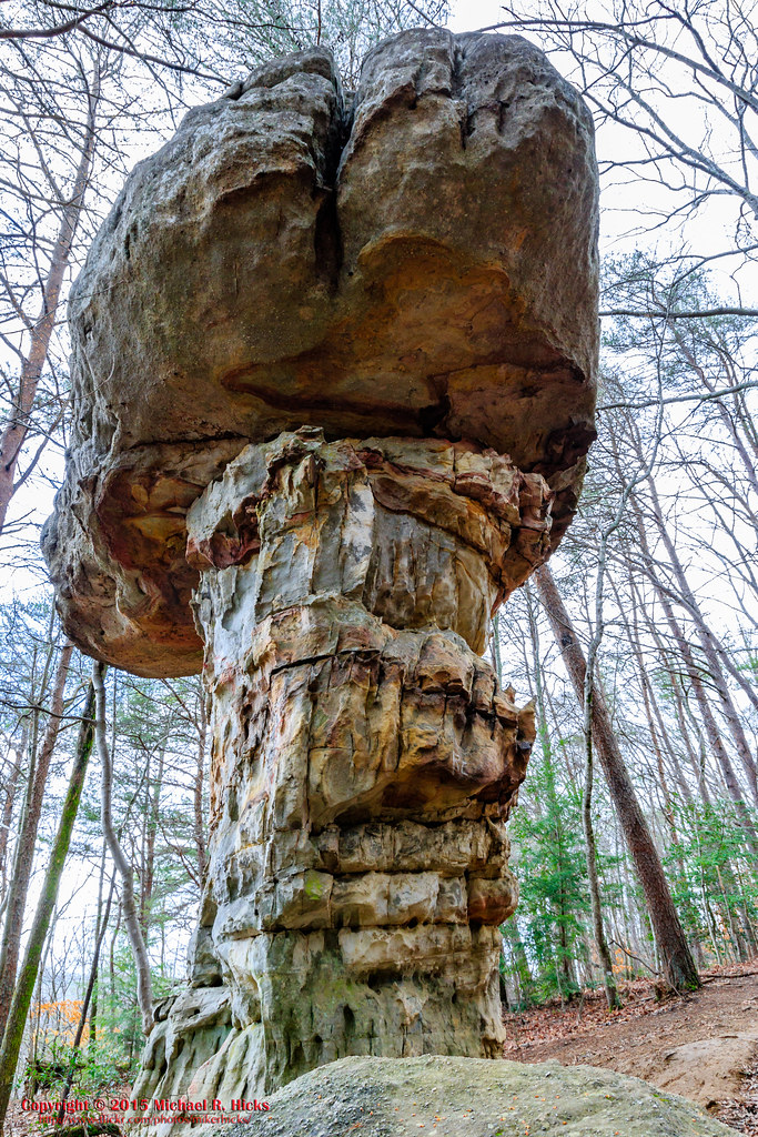
Mushroom Rock
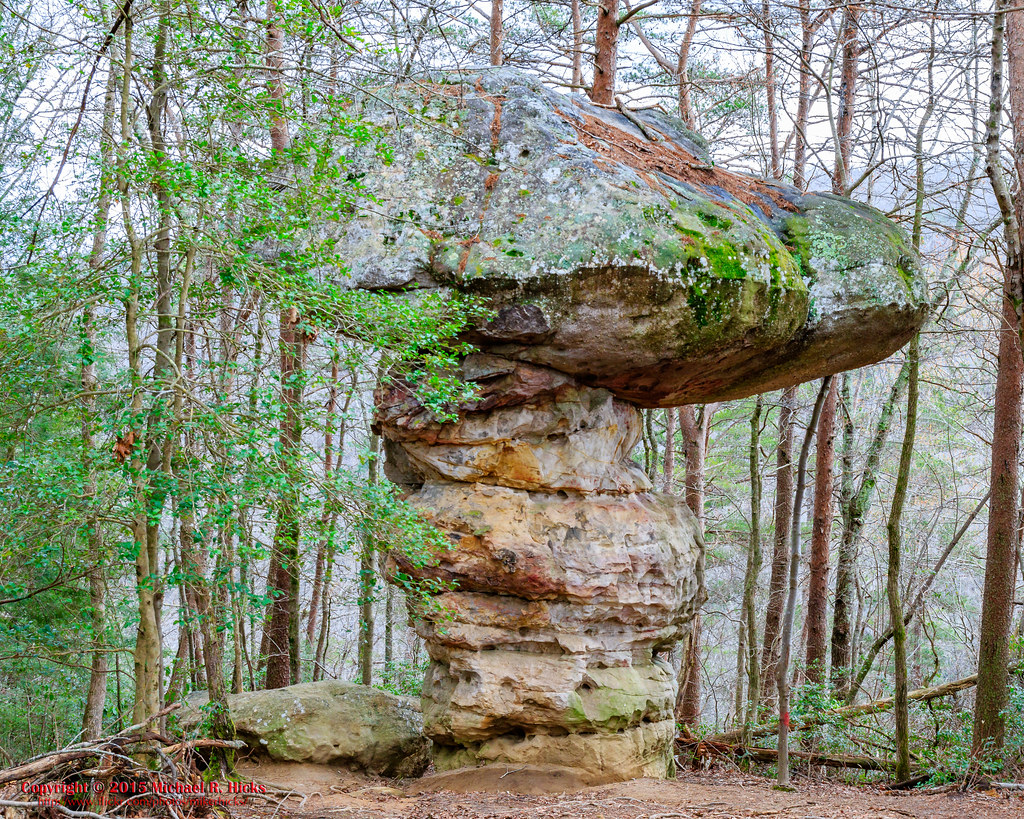
Mushroom Rock
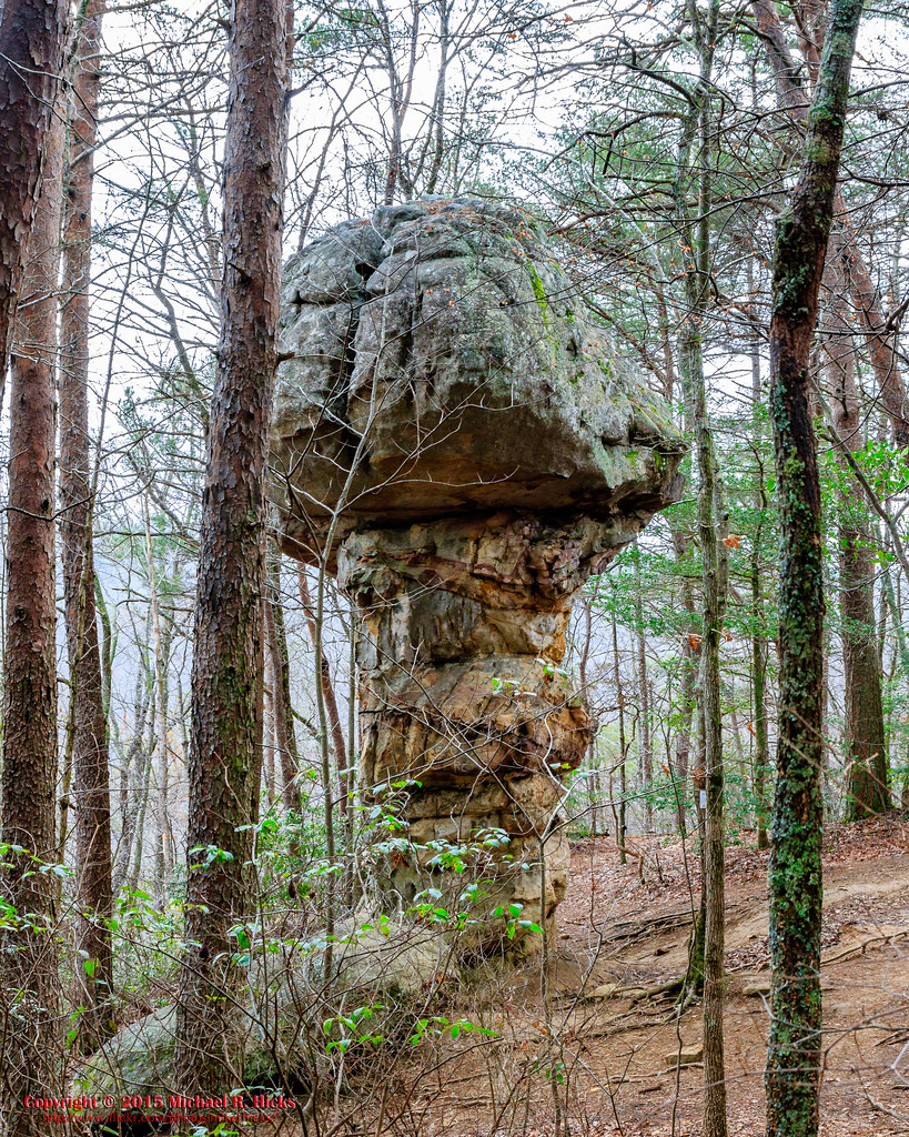
Mushroom Rock
Tributary to Norths Suck Creek
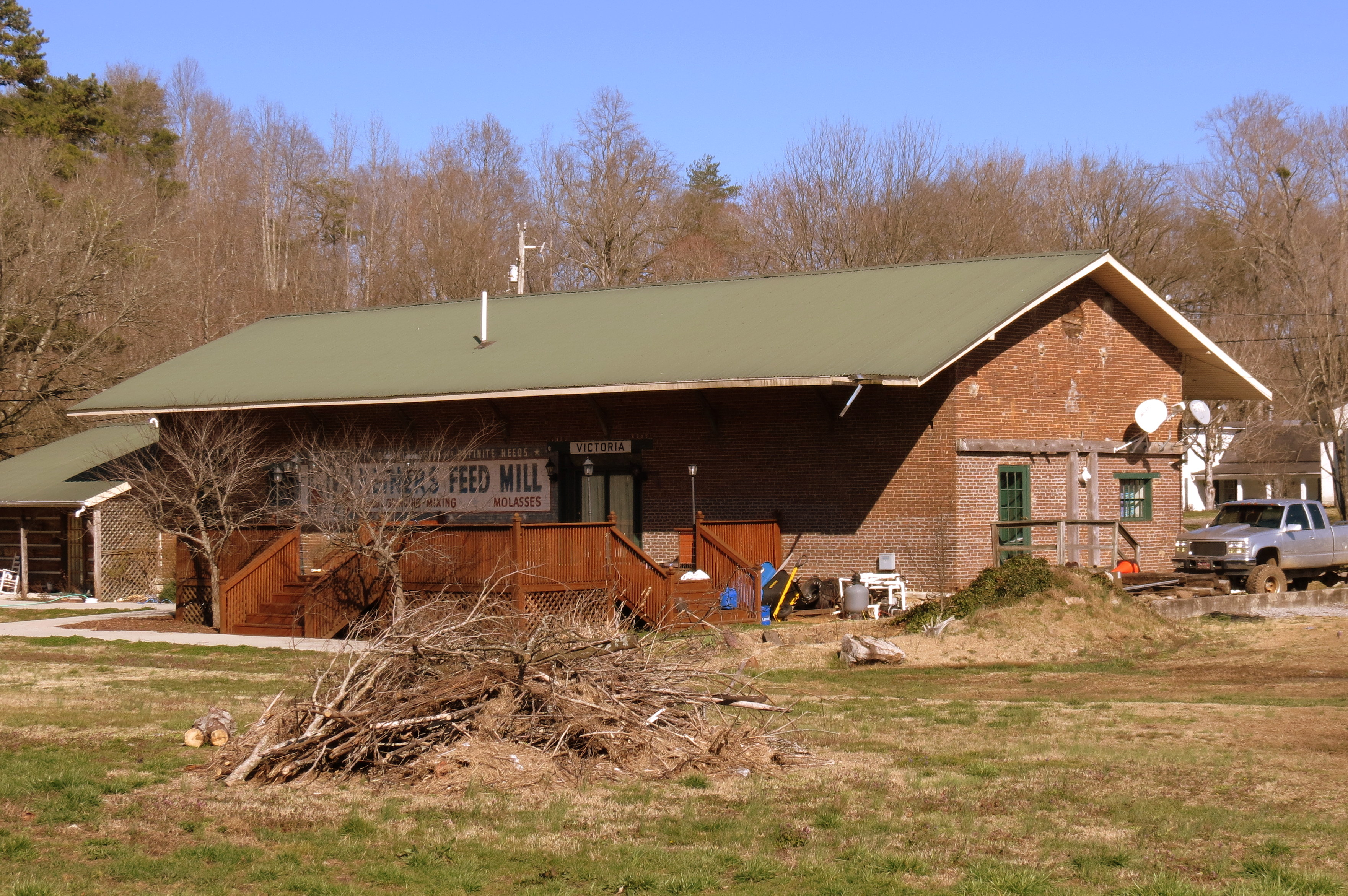
Victoria, TN train depot

Sequatchie County, TN Courthouse - Dunlap, TN
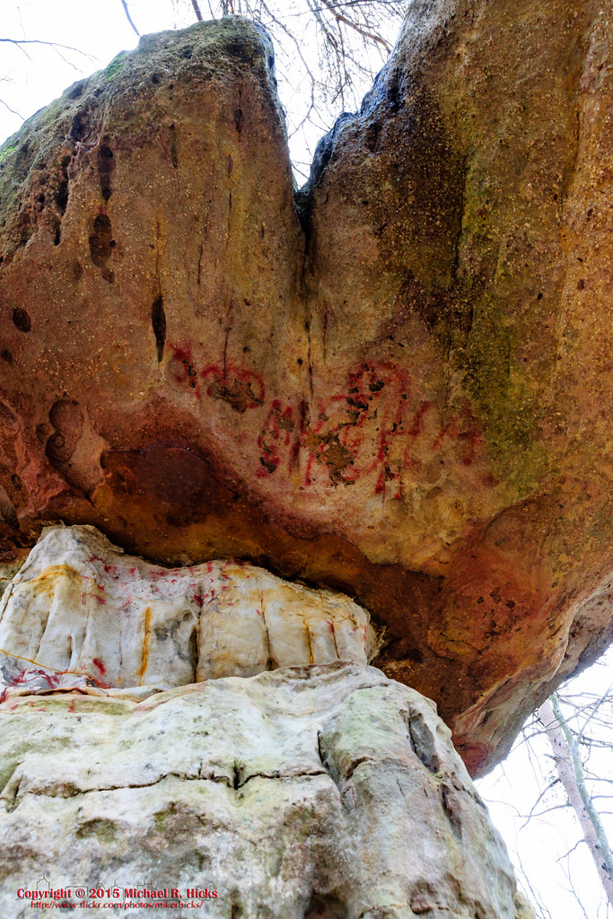
Mushroom Rock
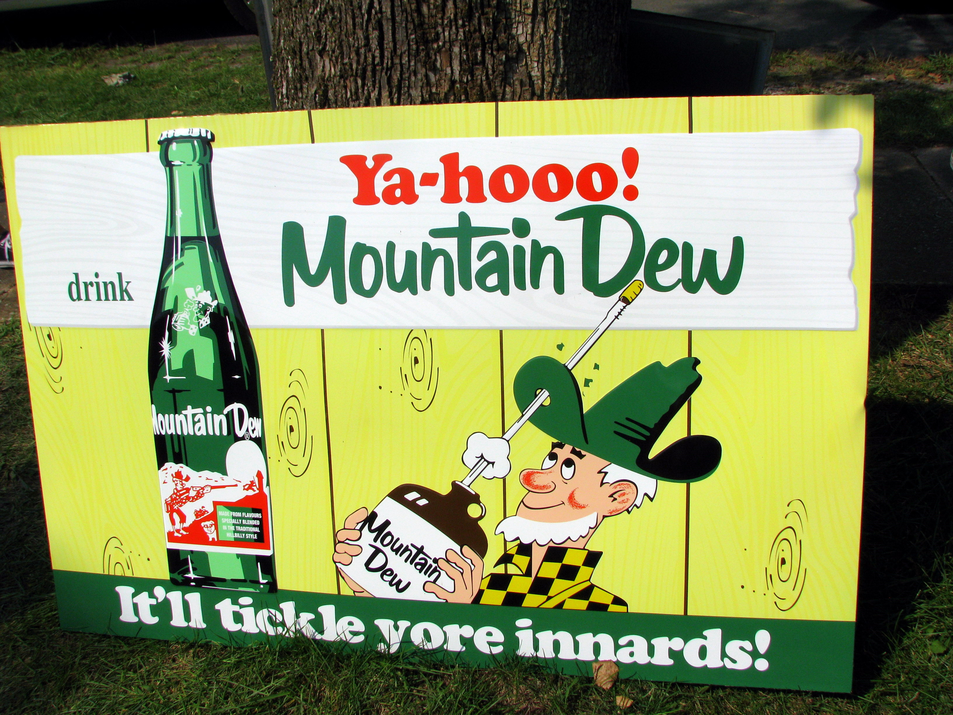
Mountain Dew sign
'G'
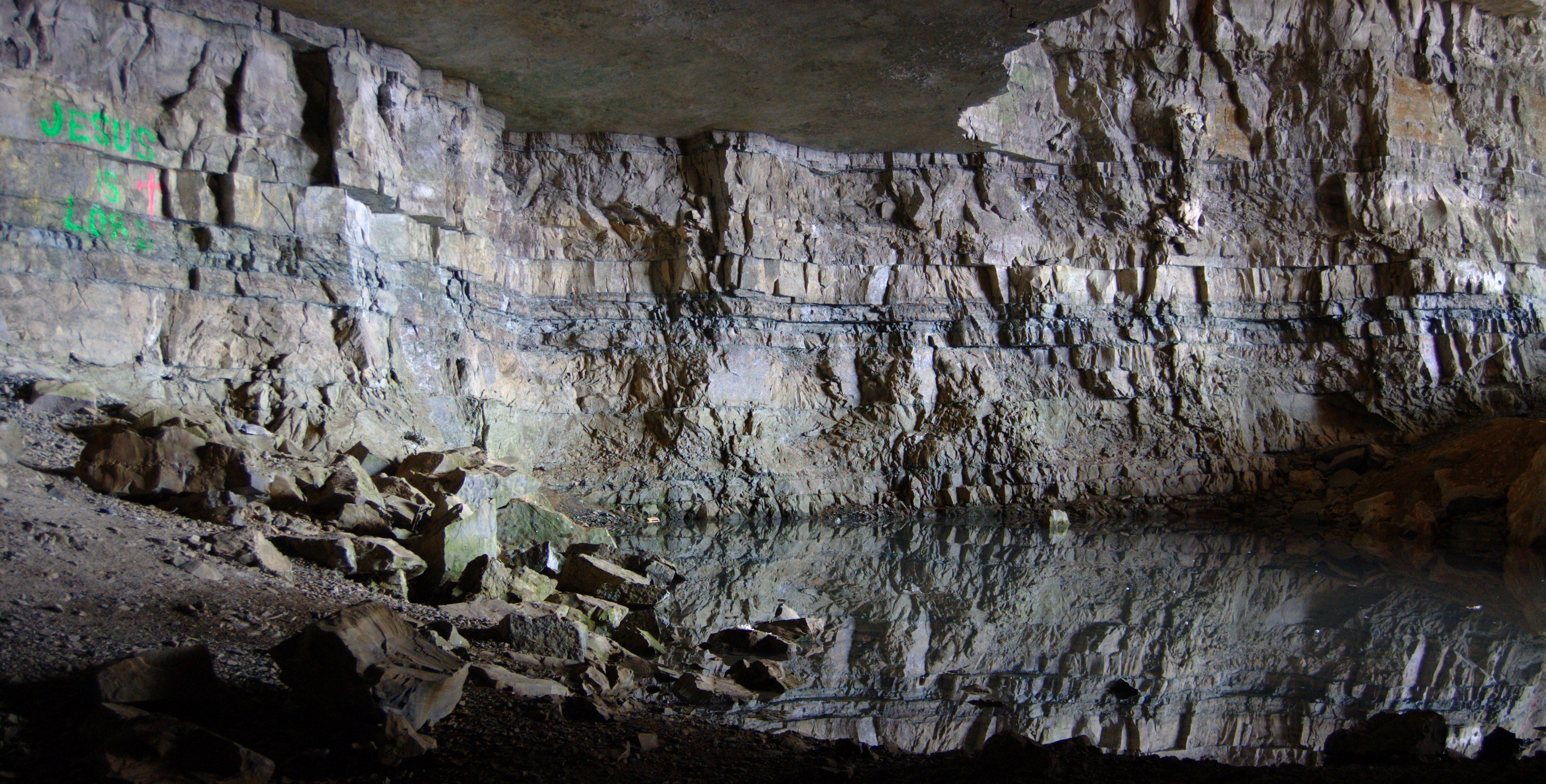
Underground Reflections
New photo added to "All Photos"
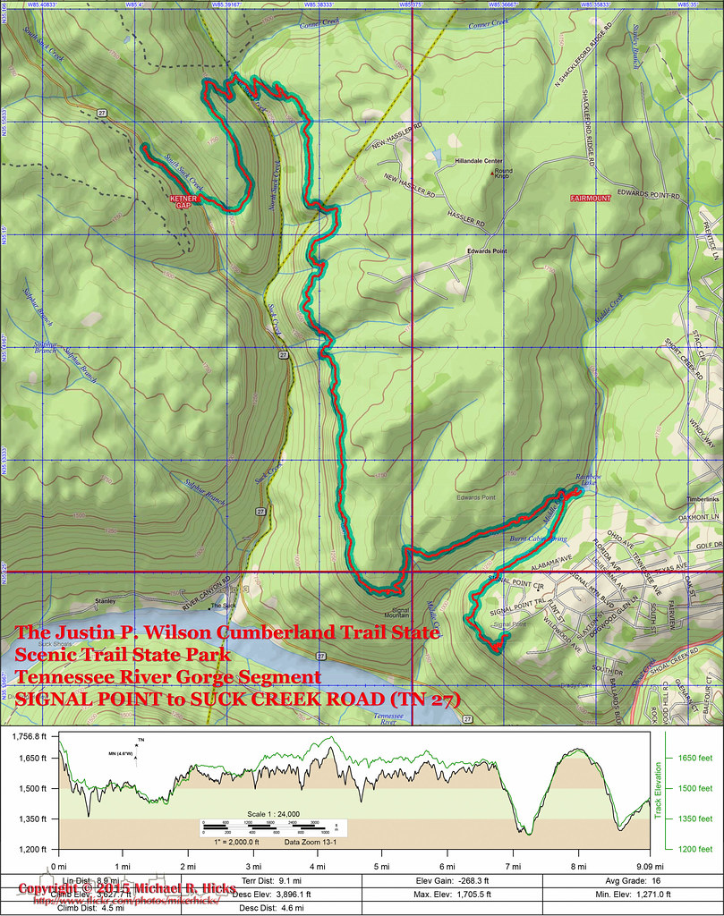
Trail Map and Elevation Profile
Whitwell, TN, USA Map
Search another place
Near Places
W Valley Rd, Whitwell, TN, USA
TN-, Whitwell, TN, USA
Whitwell, TN, USA
Powells Crossroads, TN, USA
Daus Mill Rd, Dunlap, TN, USA
Daus Mountain Rd, Palmer, TN, USA
Grays Creek Rd, Whitwell, TN, USA
50 Wilderness Way, Dunlap, TN, USA
Farmington Ln, Dunlap, TN, USA
English Cove Road, English Cove Rd, Whitwell, TN, USA
Deep Woods Dr, Dunlap, TN, USA
Hidden Ridge Loop, Dunlap, TN, USA
Choctaw Trail, Chattanooga, TN, USA
Choctaw Trail, Chattanooga, TN, USA
Clear Brooks Dr, Signal Mountain, TN, USA
Clear Brooks Drive, Clear Brooks Dr, Tennessee, USA
Sequatchie County, TN, USA
Mirror Lake Rd, Dunlap, TN, USA
Palmer, TN, USA
Airport Avenue, Airport Ave, Tennessee, USA
Recent Searches
- Sunrise Sunset Times of Groblershoop, South Africa
- Sunrise Sunset Times of Petriti, Greece
- Sunrise Sunset Times of Chesaw Rd, Oroville, WA, USA
- Sunrise Sunset Times of N, Mt Pleasant, UT, USA
- Sunrise Sunset Times of Kawanecho Sasamado, Shimada, Shizuoka -, Japan
- Sunrise Sunset Times of 6 Rue Jules Ferry, Beausoleil, France
- Sunrise Sunset Times of Otxandio, Biscay, Spain
- Sunrise Sunset Times of Sattva Horizon, 4JC6+G9P, Vinayak Nagar, Kattigenahalli, Bengaluru, Karnataka, India
- Sunrise Sunset Times of Mount Fuji, Kitayama, Fujinomiya, Shizuoka -, Japan
- Sunrise Sunset Times of Laurel Rd, Townsend, TN, USA