Sunrise Sunset Times of Whitwell, TN, USA
Location: United States > Tennessee > Marion County >
Timezone:
America/Chicago
Current Time:
2024-04-19 02:27:12
Longitude:
-85.5191323
Latitude:
35.2014631
Sunrise Today:
06:03:27 AM
Sunset Today:
07:18:33 PM
Daylength Today:
13h 15m 6s
Sunrise Tomorrow:
06:02:14 AM
Sunset Tomorrow:
07:19:22 PM
Daylength Tomorrow:
13h 17m 8s
Year Show All Dates
| Date | Sunrise | Sunset | Daylength |
|---|---|---|---|
| 01/01/2024 | 06:50:35 AM | 04:41:09 PM | 9h 50m 34s |
| 01/02/2024 | 06:50:44 AM | 04:41:55 PM | 9h 51m 11s |
| 01/03/2024 | 06:50:51 AM | 04:42:43 PM | 9h 51m 52s |
| 01/04/2024 | 06:50:56 AM | 04:43:32 PM | 9h 52m 36s |
| 01/05/2024 | 06:51:00 AM | 04:44:23 PM | 9h 53m 23s |
| 01/06/2024 | 06:51:01 AM | 04:45:14 PM | 9h 54m 13s |
| 01/07/2024 | 06:51:00 AM | 04:46:06 PM | 9h 55m 6s |
| 01/08/2024 | 06:50:58 AM | 04:46:59 PM | 9h 56m 1s |
| 01/09/2024 | 06:50:53 AM | 04:47:53 PM | 9h 57m 0s |
| 01/10/2024 | 06:50:47 AM | 04:48:47 PM | 9h 58m 0s |
| 01/11/2024 | 06:50:39 AM | 04:49:43 PM | 9h 59m 4s |
| 01/12/2024 | 06:50:29 AM | 04:50:39 PM | 10h 0m 10s |
| 01/13/2024 | 06:50:16 AM | 04:51:36 PM | 10h 1m 20s |
| 01/14/2024 | 06:50:02 AM | 04:52:33 PM | 10h 2m 31s |
| 01/15/2024 | 06:49:46 AM | 04:53:31 PM | 10h 3m 45s |
| 01/16/2024 | 06:49:29 AM | 04:54:29 PM | 10h 5m 0s |
| 01/17/2024 | 06:49:09 AM | 04:55:28 PM | 10h 6m 19s |
| 01/18/2024 | 06:48:47 AM | 04:56:28 PM | 10h 7m 41s |
| 01/19/2024 | 06:48:24 AM | 04:57:28 PM | 10h 9m 4s |
| 01/20/2024 | 06:47:59 AM | 04:58:28 PM | 10h 10m 29s |
| 01/21/2024 | 06:47:32 AM | 04:59:28 PM | 10h 11m 56s |
| 01/22/2024 | 06:47:03 AM | 05:00:29 PM | 10h 13m 26s |
| 01/23/2024 | 06:46:32 AM | 05:01:30 PM | 10h 14m 58s |
| 01/24/2024 | 06:46:00 AM | 05:02:31 PM | 10h 16m 31s |
| 01/25/2024 | 06:45:25 AM | 05:03:32 PM | 10h 18m 7s |
| 01/26/2024 | 06:44:50 AM | 05:04:34 PM | 10h 19m 44s |
| 01/27/2024 | 06:44:12 AM | 05:05:35 PM | 10h 21m 23s |
| 01/28/2024 | 06:43:33 AM | 05:06:37 PM | 10h 23m 4s |
| 01/29/2024 | 06:42:52 AM | 05:07:38 PM | 10h 24m 46s |
| 01/30/2024 | 06:42:09 AM | 05:08:40 PM | 10h 26m 31s |
| 01/31/2024 | 06:41:25 AM | 05:09:42 PM | 10h 28m 17s |
| 02/01/2024 | 06:40:40 AM | 05:10:43 PM | 10h 30m 3s |
| 02/02/2024 | 06:39:52 AM | 05:11:44 PM | 10h 31m 52s |
| 02/03/2024 | 06:39:04 AM | 05:12:46 PM | 10h 33m 42s |
| 02/04/2024 | 06:38:13 AM | 05:13:47 PM | 10h 35m 34s |
| 02/05/2024 | 06:37:22 AM | 05:14:48 PM | 10h 37m 26s |
| 02/06/2024 | 06:36:29 AM | 05:15:48 PM | 10h 39m 19s |
| 02/07/2024 | 06:35:34 AM | 05:16:49 PM | 10h 41m 15s |
| 02/08/2024 | 06:34:38 AM | 05:17:49 PM | 10h 43m 11s |
| 02/09/2024 | 06:33:41 AM | 05:18:49 PM | 10h 45m 8s |
| 02/10/2024 | 06:32:43 AM | 05:19:49 PM | 10h 47m 6s |
| 02/11/2024 | 06:31:43 AM | 05:20:49 PM | 10h 49m 6s |
| 02/12/2024 | 06:30:42 AM | 05:21:48 PM | 10h 51m 6s |
| 02/13/2024 | 06:29:40 AM | 05:22:47 PM | 10h 53m 7s |
| 02/14/2024 | 06:28:37 AM | 05:23:46 PM | 10h 55m 9s |
| 02/15/2024 | 06:27:32 AM | 05:24:44 PM | 10h 57m 12s |
| 02/16/2024 | 06:26:26 AM | 05:25:42 PM | 10h 59m 16s |
| 02/17/2024 | 06:25:20 AM | 05:26:40 PM | 11h 1m 20s |
| 02/18/2024 | 06:24:12 AM | 05:27:38 PM | 11h 3m 26s |
| 02/19/2024 | 06:23:03 AM | 05:28:35 PM | 11h 5m 32s |
| 02/20/2024 | 06:21:54 AM | 05:29:31 PM | 11h 7m 37s |
| 02/21/2024 | 06:20:43 AM | 05:30:28 PM | 11h 9m 45s |
| 02/22/2024 | 06:19:31 AM | 05:31:24 PM | 11h 11m 53s |
| 02/23/2024 | 06:18:19 AM | 05:32:20 PM | 11h 14m 1s |
| 02/24/2024 | 06:17:05 AM | 05:33:15 PM | 11h 16m 10s |
| 02/25/2024 | 06:15:51 AM | 05:34:10 PM | 11h 18m 19s |
| 02/26/2024 | 06:14:36 AM | 05:35:05 PM | 11h 20m 29s |
| 02/27/2024 | 06:13:20 AM | 05:35:59 PM | 11h 22m 39s |
| 02/28/2024 | 06:12:04 AM | 05:36:53 PM | 11h 24m 49s |
| 02/29/2024 | 06:10:47 AM | 05:37:47 PM | 11h 27m 0s |
| 03/01/2024 | 06:09:29 AM | 05:38:41 PM | 11h 29m 12s |
| 03/02/2024 | 06:08:11 AM | 05:39:34 PM | 11h 31m 23s |
| 03/03/2024 | 06:06:51 AM | 05:40:27 PM | 11h 33m 36s |
| 03/04/2024 | 06:05:32 AM | 05:41:19 PM | 11h 35m 47s |
| 03/05/2024 | 06:04:12 AM | 05:42:11 PM | 11h 37m 59s |
| 03/06/2024 | 06:02:51 AM | 05:43:03 PM | 11h 40m 12s |
| 03/07/2024 | 06:01:30 AM | 05:43:55 PM | 11h 42m 25s |
| 03/08/2024 | 06:00:08 AM | 05:44:47 PM | 11h 44m 39s |
| 03/09/2024 | 05:58:46 AM | 05:45:38 PM | 11h 46m 52s |
| 03/10/2024 | 06:57:27 AM | 06:46:27 PM | 11h 49m 0s |
| 03/11/2024 | 06:56:04 AM | 06:47:17 PM | 11h 51m 13s |
| 03/12/2024 | 06:54:41 AM | 06:48:08 PM | 11h 53m 27s |
| 03/13/2024 | 06:53:18 AM | 06:48:58 PM | 11h 55m 40s |
| 03/14/2024 | 06:51:54 AM | 06:49:48 PM | 11h 57m 54s |
| 03/15/2024 | 06:50:30 AM | 06:50:38 PM | 12h 0m 8s |
| 03/16/2024 | 06:49:06 AM | 06:51:28 PM | 12h 2m 22s |
| 03/17/2024 | 06:47:41 AM | 06:52:17 PM | 12h 4m 36s |
| 03/18/2024 | 06:46:17 AM | 06:53:06 PM | 12h 6m 49s |
| 03/19/2024 | 06:44:52 AM | 06:53:56 PM | 12h 9m 4s |
| 03/20/2024 | 06:43:27 AM | 06:54:45 PM | 12h 11m 18s |
| 03/21/2024 | 06:42:03 AM | 06:55:34 PM | 12h 13m 31s |
| 03/22/2024 | 06:40:38 AM | 06:56:22 PM | 12h 15m 44s |
| 03/23/2024 | 06:39:13 AM | 06:57:11 PM | 12h 17m 58s |
| 03/24/2024 | 06:37:48 AM | 06:58:00 PM | 12h 20m 12s |
| 03/25/2024 | 06:36:24 AM | 06:58:48 PM | 12h 22m 24s |
| 03/26/2024 | 06:34:59 AM | 06:59:37 PM | 12h 24m 38s |
| 03/27/2024 | 06:33:34 AM | 07:00:25 PM | 12h 26m 51s |
| 03/28/2024 | 06:32:10 AM | 07:01:13 PM | 12h 29m 3s |
| 03/29/2024 | 06:30:46 AM | 07:02:02 PM | 12h 31m 16s |
| 03/30/2024 | 06:29:22 AM | 07:02:50 PM | 12h 33m 28s |
| 03/31/2024 | 06:27:58 AM | 07:03:38 PM | 12h 35m 40s |
| 04/01/2024 | 06:26:34 AM | 07:04:26 PM | 12h 37m 52s |
| 04/02/2024 | 06:25:11 AM | 07:05:14 PM | 12h 40m 3s |
| 04/03/2024 | 06:23:48 AM | 07:06:03 PM | 12h 42m 15s |
| 04/04/2024 | 06:22:25 AM | 07:06:51 PM | 12h 44m 26s |
| 04/05/2024 | 06:21:03 AM | 07:07:39 PM | 12h 46m 36s |
| 04/06/2024 | 06:19:41 AM | 07:08:27 PM | 12h 48m 46s |
| 04/07/2024 | 06:18:20 AM | 07:09:16 PM | 12h 50m 56s |
| 04/08/2024 | 06:16:59 AM | 07:10:04 PM | 12h 53m 5s |
| 04/09/2024 | 06:15:39 AM | 07:10:53 PM | 12h 55m 14s |
| 04/10/2024 | 06:14:19 AM | 07:11:41 PM | 12h 57m 22s |
| 04/11/2024 | 06:12:59 AM | 07:12:29 PM | 12h 59m 30s |
| 04/12/2024 | 06:11:40 AM | 07:13:18 PM | 13h 1m 38s |
| 04/13/2024 | 06:10:22 AM | 07:14:07 PM | 13h 3m 45s |
| 04/14/2024 | 06:09:05 AM | 07:14:55 PM | 13h 5m 50s |
| 04/15/2024 | 06:07:48 AM | 07:15:44 PM | 13h 7m 56s |
| 04/16/2024 | 06:06:32 AM | 07:16:33 PM | 13h 10m 1s |
| 04/17/2024 | 06:05:16 AM | 07:17:22 PM | 13h 12m 6s |
| 04/18/2024 | 06:04:01 AM | 07:18:11 PM | 13h 14m 10s |
| 04/19/2024 | 06:02:47 AM | 07:19:00 PM | 13h 16m 13s |
| 04/20/2024 | 06:01:34 AM | 07:19:49 PM | 13h 18m 15s |
| 04/21/2024 | 06:00:22 AM | 07:20:38 PM | 13h 20m 16s |
| 04/22/2024 | 05:59:10 AM | 07:21:27 PM | 13h 22m 17s |
| 04/23/2024 | 05:58:00 AM | 07:22:16 PM | 13h 24m 16s |
| 04/24/2024 | 05:56:50 AM | 07:23:05 PM | 13h 26m 15s |
| 04/25/2024 | 05:55:42 AM | 07:23:55 PM | 13h 28m 13s |
| 04/26/2024 | 05:54:34 AM | 07:24:44 PM | 13h 30m 10s |
| 04/27/2024 | 05:53:27 AM | 07:25:33 PM | 13h 32m 6s |
| 04/28/2024 | 05:52:22 AM | 07:26:23 PM | 13h 34m 1s |
| 04/29/2024 | 05:51:17 AM | 07:27:12 PM | 13h 35m 55s |
| 04/30/2024 | 05:50:13 AM | 07:28:01 PM | 13h 37m 48s |
| 05/01/2024 | 05:49:11 AM | 07:28:50 PM | 13h 39m 39s |
| 05/02/2024 | 05:48:10 AM | 07:29:40 PM | 13h 41m 30s |
| 05/03/2024 | 05:47:10 AM | 07:30:29 PM | 13h 43m 19s |
| 05/04/2024 | 05:46:11 AM | 07:31:18 PM | 13h 45m 7s |
| 05/05/2024 | 05:45:13 AM | 07:32:07 PM | 13h 46m 54s |
| 05/06/2024 | 05:44:17 AM | 07:32:56 PM | 13h 48m 39s |
| 05/07/2024 | 05:43:21 AM | 07:33:44 PM | 13h 50m 23s |
| 05/08/2024 | 05:42:28 AM | 07:34:33 PM | 13h 52m 5s |
| 05/09/2024 | 05:41:35 AM | 07:35:21 PM | 13h 53m 46s |
| 05/10/2024 | 05:40:44 AM | 07:36:09 PM | 13h 55m 25s |
| 05/11/2024 | 05:39:54 AM | 07:36:57 PM | 13h 57m 3s |
| 05/12/2024 | 05:39:06 AM | 07:37:45 PM | 13h 58m 39s |
| 05/13/2024 | 05:38:19 AM | 07:38:33 PM | 14h 0m 14s |
| 05/14/2024 | 05:37:33 AM | 07:39:20 PM | 14h 1m 47s |
| 05/15/2024 | 05:36:49 AM | 07:40:07 PM | 14h 3m 18s |
| 05/16/2024 | 05:36:06 AM | 07:40:53 PM | 14h 4m 47s |
| 05/17/2024 | 05:35:25 AM | 07:41:39 PM | 14h 6m 14s |
| 05/18/2024 | 05:34:45 AM | 07:42:25 PM | 14h 7m 40s |
| 05/19/2024 | 05:34:07 AM | 07:43:10 PM | 14h 9m 3s |
| 05/20/2024 | 05:33:30 AM | 07:43:55 PM | 14h 10m 25s |
| 05/21/2024 | 05:32:55 AM | 07:44:39 PM | 14h 11m 44s |
| 05/22/2024 | 05:32:22 AM | 07:45:23 PM | 14h 13m 1s |
| 05/23/2024 | 05:31:50 AM | 07:46:06 PM | 14h 14m 16s |
| 05/24/2024 | 05:31:20 AM | 07:46:49 PM | 14h 15m 29s |
| 05/25/2024 | 05:30:51 AM | 07:47:30 PM | 14h 16m 39s |
| 05/26/2024 | 05:30:24 AM | 07:48:12 PM | 14h 17m 48s |
| 05/27/2024 | 05:29:59 AM | 07:48:52 PM | 14h 18m 53s |
| 05/28/2024 | 05:29:35 AM | 07:49:32 PM | 14h 19m 57s |
| 05/29/2024 | 05:29:13 AM | 07:50:11 PM | 14h 20m 58s |
| 05/30/2024 | 05:28:52 AM | 07:50:49 PM | 14h 21m 57s |
| 05/31/2024 | 05:28:33 AM | 07:51:26 PM | 14h 22m 53s |
| 06/01/2024 | 05:28:16 AM | 07:52:03 PM | 14h 23m 47s |
| 06/02/2024 | 05:28:01 AM | 07:52:38 PM | 14h 24m 37s |
| 06/03/2024 | 05:27:47 AM | 07:53:13 PM | 14h 25m 26s |
| 06/04/2024 | 05:27:35 AM | 07:53:46 PM | 14h 26m 11s |
| 06/05/2024 | 05:27:24 AM | 07:54:19 PM | 14h 26m 55s |
| 06/06/2024 | 05:27:16 AM | 07:54:50 PM | 14h 27m 34s |
| 06/07/2024 | 05:27:08 AM | 07:55:20 PM | 14h 28m 12s |
| 06/08/2024 | 05:27:03 AM | 07:55:49 PM | 14h 28m 46s |
| 06/09/2024 | 05:26:59 AM | 07:56:17 PM | 14h 29m 18s |
| 06/10/2024 | 05:26:57 AM | 07:56:44 PM | 14h 29m 47s |
| 06/11/2024 | 05:26:56 AM | 07:57:10 PM | 14h 30m 14s |
| 06/12/2024 | 05:26:57 AM | 07:57:34 PM | 14h 30m 37s |
| 06/13/2024 | 05:26:59 AM | 07:57:57 PM | 14h 30m 58s |
| 06/14/2024 | 05:27:04 AM | 07:58:18 PM | 14h 31m 14s |
| 06/15/2024 | 05:27:09 AM | 07:58:38 PM | 14h 31m 29s |
| 06/16/2024 | 05:27:17 AM | 07:58:57 PM | 14h 31m 40s |
| 06/17/2024 | 05:27:25 AM | 07:59:15 PM | 14h 31m 50s |
| 06/18/2024 | 05:27:36 AM | 07:59:30 PM | 14h 31m 54s |
| 06/19/2024 | 05:27:47 AM | 07:59:45 PM | 14h 31m 58s |
| 06/20/2024 | 05:28:00 AM | 07:59:58 PM | 14h 31m 58s |
| 06/21/2024 | 05:28:15 AM | 08:00:09 PM | 14h 31m 54s |
| 06/22/2024 | 05:28:31 AM | 08:00:19 PM | 14h 31m 48s |
| 06/23/2024 | 05:28:49 AM | 08:00:27 PM | 14h 31m 38s |
| 06/24/2024 | 05:29:07 AM | 08:00:34 PM | 14h 31m 27s |
| 06/25/2024 | 05:29:27 AM | 08:00:39 PM | 14h 31m 12s |
| 06/26/2024 | 05:29:49 AM | 08:00:43 PM | 14h 30m 54s |
| 06/27/2024 | 05:30:11 AM | 08:00:44 PM | 14h 30m 33s |
| 06/28/2024 | 05:30:35 AM | 08:00:45 PM | 14h 30m 10s |
| 06/29/2024 | 05:31:00 AM | 08:00:43 PM | 14h 29m 43s |
| 06/30/2024 | 05:31:27 AM | 08:00:40 PM | 14h 29m 13s |
| 07/01/2024 | 05:31:54 AM | 08:00:35 PM | 14h 28m 41s |
| 07/02/2024 | 05:32:23 AM | 08:00:29 PM | 14h 28m 6s |
| 07/03/2024 | 05:32:52 AM | 08:00:21 PM | 14h 27m 29s |
| 07/04/2024 | 05:33:23 AM | 08:00:11 PM | 14h 26m 48s |
| 07/05/2024 | 05:33:54 AM | 07:59:59 PM | 14h 26m 5s |
| 07/06/2024 | 05:34:27 AM | 07:59:46 PM | 14h 25m 19s |
| 07/07/2024 | 05:35:00 AM | 07:59:31 PM | 14h 24m 31s |
| 07/08/2024 | 05:35:34 AM | 07:59:14 PM | 14h 23m 40s |
| 07/09/2024 | 05:36:10 AM | 07:58:55 PM | 14h 22m 45s |
| 07/10/2024 | 05:36:46 AM | 07:58:35 PM | 14h 21m 49s |
| 07/11/2024 | 05:37:22 AM | 07:58:14 PM | 14h 20m 52s |
| 07/12/2024 | 05:38:00 AM | 07:57:50 PM | 14h 19m 50s |
| 07/13/2024 | 05:38:38 AM | 07:57:25 PM | 14h 18m 47s |
| 07/14/2024 | 05:39:17 AM | 07:56:58 PM | 14h 17m 41s |
| 07/15/2024 | 05:39:57 AM | 07:56:29 PM | 14h 16m 32s |
| 07/16/2024 | 05:40:37 AM | 07:55:59 PM | 14h 15m 22s |
| 07/17/2024 | 05:41:17 AM | 07:55:27 PM | 14h 14m 10s |
| 07/18/2024 | 05:41:59 AM | 07:54:54 PM | 14h 12m 55s |
| 07/19/2024 | 05:42:40 AM | 07:54:19 PM | 14h 11m 39s |
| 07/20/2024 | 05:43:23 AM | 07:53:42 PM | 14h 10m 19s |
| 07/21/2024 | 05:44:05 AM | 07:53:04 PM | 14h 8m 59s |
| 07/22/2024 | 05:44:48 AM | 07:52:24 PM | 14h 7m 36s |
| 07/23/2024 | 05:45:32 AM | 07:51:43 PM | 14h 6m 11s |
| 07/24/2024 | 05:46:15 AM | 07:51:00 PM | 14h 4m 45s |
| 07/25/2024 | 05:46:59 AM | 07:50:16 PM | 14h 3m 17s |
| 07/26/2024 | 05:47:44 AM | 07:49:30 PM | 14h 1m 46s |
| 07/27/2024 | 05:48:28 AM | 07:48:42 PM | 14h 0m 14s |
| 07/28/2024 | 05:49:13 AM | 07:47:54 PM | 13h 58m 41s |
| 07/29/2024 | 05:49:58 AM | 07:47:04 PM | 13h 57m 6s |
| 07/30/2024 | 05:50:44 AM | 07:46:12 PM | 13h 55m 28s |
| 07/31/2024 | 05:51:29 AM | 07:45:19 PM | 13h 53m 50s |
| 08/01/2024 | 05:52:14 AM | 07:44:25 PM | 13h 52m 11s |
| 08/02/2024 | 05:53:00 AM | 07:43:29 PM | 13h 50m 29s |
| 08/03/2024 | 05:53:46 AM | 07:42:32 PM | 13h 48m 46s |
| 08/04/2024 | 05:54:32 AM | 07:41:34 PM | 13h 47m 2s |
| 08/05/2024 | 05:55:18 AM | 07:40:34 PM | 13h 45m 16s |
| 08/06/2024 | 05:56:04 AM | 07:39:33 PM | 13h 43m 29s |
| 08/07/2024 | 05:56:49 AM | 07:38:32 PM | 13h 41m 43s |
| 08/08/2024 | 05:57:35 AM | 07:37:28 PM | 13h 39m 53s |
| 08/09/2024 | 05:58:21 AM | 07:36:24 PM | 13h 38m 3s |
| 08/10/2024 | 05:59:07 AM | 07:35:19 PM | 13h 36m 12s |
| 08/11/2024 | 05:59:53 AM | 07:34:12 PM | 13h 34m 19s |
| 08/12/2024 | 06:00:39 AM | 07:33:05 PM | 13h 32m 26s |
| 08/13/2024 | 06:01:25 AM | 07:31:56 PM | 13h 30m 31s |
| 08/14/2024 | 06:02:11 AM | 07:30:47 PM | 13h 28m 36s |
| 08/15/2024 | 06:02:56 AM | 07:29:36 PM | 13h 26m 40s |
| 08/16/2024 | 06:03:42 AM | 07:28:25 PM | 13h 24m 43s |
| 08/17/2024 | 06:04:28 AM | 07:27:12 PM | 13h 22m 44s |
| 08/18/2024 | 06:05:13 AM | 07:25:59 PM | 13h 20m 46s |
| 08/19/2024 | 06:05:59 AM | 07:24:44 PM | 13h 18m 45s |
| 08/20/2024 | 06:06:44 AM | 07:23:29 PM | 13h 16m 45s |
| 08/21/2024 | 06:07:29 AM | 07:22:13 PM | 13h 14m 44s |
| 08/22/2024 | 06:08:14 AM | 07:20:57 PM | 13h 12m 43s |
| 08/23/2024 | 06:08:59 AM | 07:19:39 PM | 13h 10m 40s |
| 08/24/2024 | 06:09:44 AM | 07:18:21 PM | 13h 8m 37s |
| 08/25/2024 | 06:10:29 AM | 07:17:02 PM | 13h 6m 33s |
| 08/26/2024 | 06:11:14 AM | 07:15:43 PM | 13h 4m 29s |
| 08/27/2024 | 06:11:58 AM | 07:14:23 PM | 13h 2m 25s |
| 08/28/2024 | 06:12:43 AM | 07:13:02 PM | 13h 0m 19s |
| 08/29/2024 | 06:13:27 AM | 07:11:40 PM | 12h 58m 13s |
| 08/30/2024 | 06:14:12 AM | 07:10:18 PM | 12h 56m 6s |
| 08/31/2024 | 06:14:56 AM | 07:08:56 PM | 12h 54m 0s |
| 09/01/2024 | 06:15:40 AM | 07:07:33 PM | 12h 51m 53s |
| 09/02/2024 | 06:16:25 AM | 07:06:09 PM | 12h 49m 44s |
| 09/03/2024 | 06:17:09 AM | 07:04:46 PM | 12h 47m 37s |
| 09/04/2024 | 06:17:53 AM | 07:03:21 PM | 12h 45m 28s |
| 09/05/2024 | 06:18:37 AM | 07:01:57 PM | 12h 43m 20s |
| 09/06/2024 | 06:19:21 AM | 07:00:31 PM | 12h 41m 10s |
| 09/07/2024 | 06:20:05 AM | 06:59:06 PM | 12h 39m 1s |
| 09/08/2024 | 06:20:49 AM | 06:57:40 PM | 12h 36m 51s |
| 09/09/2024 | 06:21:33 AM | 06:56:14 PM | 12h 34m 41s |
| 09/10/2024 | 06:22:17 AM | 06:54:48 PM | 12h 32m 31s |
| 09/11/2024 | 06:23:01 AM | 06:53:22 PM | 12h 30m 21s |
| 09/12/2024 | 06:23:45 AM | 06:51:55 PM | 12h 28m 10s |
| 09/13/2024 | 06:24:29 AM | 06:50:28 PM | 12h 25m 59s |
| 09/14/2024 | 06:25:13 AM | 06:49:01 PM | 12h 23m 48s |
| 09/15/2024 | 06:25:57 AM | 06:47:34 PM | 12h 21m 37s |
| 09/16/2024 | 06:26:41 AM | 06:46:07 PM | 12h 19m 26s |
| 09/17/2024 | 06:27:25 AM | 06:44:40 PM | 12h 17m 15s |
| 09/18/2024 | 06:28:10 AM | 06:43:13 PM | 12h 15m 3s |
| 09/19/2024 | 06:28:54 AM | 06:41:46 PM | 12h 12m 52s |
| 09/20/2024 | 06:29:39 AM | 06:40:19 PM | 12h 10m 40s |
| 09/21/2024 | 06:30:23 AM | 06:38:52 PM | 12h 8m 29s |
| 09/22/2024 | 06:31:08 AM | 06:37:25 PM | 12h 6m 17s |
| 09/23/2024 | 06:31:53 AM | 06:35:58 PM | 12h 4m 5s |
| 09/24/2024 | 06:32:38 AM | 06:34:31 PM | 12h 1m 53s |
| 09/25/2024 | 06:33:24 AM | 06:33:05 PM | 11h 59m 41s |
| 09/26/2024 | 06:34:09 AM | 06:31:39 PM | 11h 57m 30s |
| 09/27/2024 | 06:34:55 AM | 06:30:13 PM | 11h 55m 18s |
| 09/28/2024 | 06:35:41 AM | 06:28:47 PM | 11h 53m 6s |
| 09/29/2024 | 06:36:27 AM | 06:27:22 PM | 11h 50m 55s |
| 09/30/2024 | 06:37:13 AM | 06:25:56 PM | 11h 48m 43s |
| 10/01/2024 | 06:38:00 AM | 06:24:32 PM | 11h 46m 32s |
| 10/02/2024 | 06:38:47 AM | 06:23:07 PM | 11h 44m 20s |
| 10/03/2024 | 06:39:34 AM | 06:21:43 PM | 11h 42m 9s |
| 10/04/2024 | 06:40:21 AM | 06:20:20 PM | 11h 39m 59s |
| 10/05/2024 | 06:41:09 AM | 06:18:57 PM | 11h 37m 48s |
| 10/06/2024 | 06:41:57 AM | 06:17:35 PM | 11h 35m 38s |
| 10/07/2024 | 06:42:45 AM | 06:16:13 PM | 11h 33m 28s |
| 10/08/2024 | 06:43:34 AM | 06:14:51 PM | 11h 31m 17s |
| 10/09/2024 | 06:44:23 AM | 06:13:31 PM | 11h 29m 8s |
| 10/10/2024 | 06:45:12 AM | 06:12:10 PM | 11h 26m 58s |
| 10/11/2024 | 06:46:02 AM | 06:10:51 PM | 11h 24m 49s |
| 10/12/2024 | 06:46:52 AM | 06:09:32 PM | 11h 22m 40s |
| 10/13/2024 | 06:47:42 AM | 06:08:14 PM | 11h 20m 32s |
| 10/14/2024 | 06:48:33 AM | 06:06:57 PM | 11h 18m 24s |
| 10/15/2024 | 06:49:23 AM | 06:05:40 PM | 11h 16m 17s |
| 10/16/2024 | 06:50:15 AM | 06:04:25 PM | 11h 14m 10s |
| 10/17/2024 | 06:51:07 AM | 06:03:10 PM | 11h 12m 3s |
| 10/18/2024 | 06:51:59 AM | 06:01:56 PM | 11h 9m 57s |
| 10/19/2024 | 06:52:51 AM | 06:00:43 PM | 11h 7m 52s |
| 10/20/2024 | 06:53:44 AM | 05:59:31 PM | 11h 5m 47s |
| 10/21/2024 | 06:54:37 AM | 05:58:20 PM | 11h 3m 43s |
| 10/22/2024 | 06:55:30 AM | 05:57:10 PM | 11h 1m 40s |
| 10/23/2024 | 06:56:24 AM | 05:56:00 PM | 10h 59m 36s |
| 10/24/2024 | 06:57:19 AM | 05:54:52 PM | 10h 57m 33s |
| 10/25/2024 | 06:58:13 AM | 05:53:46 PM | 10h 55m 33s |
| 10/26/2024 | 06:59:08 AM | 05:52:40 PM | 10h 53m 32s |
| 10/27/2024 | 07:00:03 AM | 05:51:35 PM | 10h 51m 32s |
| 10/28/2024 | 07:00:59 AM | 05:50:32 PM | 10h 49m 33s |
| 10/29/2024 | 07:01:55 AM | 05:49:30 PM | 10h 47m 35s |
| 10/30/2024 | 07:02:51 AM | 05:48:29 PM | 10h 45m 38s |
| 10/31/2024 | 07:03:48 AM | 05:47:29 PM | 10h 43m 41s |
| 11/01/2024 | 07:04:44 AM | 05:46:31 PM | 10h 41m 47s |
| 11/02/2024 | 07:05:42 AM | 05:45:34 PM | 10h 39m 52s |
| 11/03/2024 | 06:06:41 AM | 04:44:36 PM | 10h 37m 55s |
| 11/04/2024 | 06:07:39 AM | 04:43:42 PM | 10h 36m 3s |
| 11/05/2024 | 06:08:37 AM | 04:42:49 PM | 10h 34m 12s |
| 11/06/2024 | 06:09:35 AM | 04:41:58 PM | 10h 32m 23s |
| 11/07/2024 | 06:10:33 AM | 04:41:09 PM | 10h 30m 36s |
| 11/08/2024 | 06:11:31 AM | 04:40:20 PM | 10h 28m 49s |
| 11/09/2024 | 06:12:30 AM | 04:39:34 PM | 10h 27m 4s |
| 11/10/2024 | 06:13:28 AM | 04:38:49 PM | 10h 25m 21s |
| 11/11/2024 | 06:14:27 AM | 04:38:06 PM | 10h 23m 39s |
| 11/12/2024 | 06:15:26 AM | 04:37:24 PM | 10h 21m 58s |
| 11/13/2024 | 06:16:24 AM | 04:36:44 PM | 10h 20m 20s |
| 11/14/2024 | 06:17:23 AM | 04:36:06 PM | 10h 18m 43s |
| 11/15/2024 | 06:18:22 AM | 04:35:29 PM | 10h 17m 7s |
| 11/16/2024 | 06:19:20 AM | 04:34:54 PM | 10h 15m 34s |
| 11/17/2024 | 06:20:19 AM | 04:34:21 PM | 10h 14m 2s |
| 11/18/2024 | 06:21:17 AM | 04:33:50 PM | 10h 12m 33s |
| 11/19/2024 | 06:22:16 AM | 04:33:20 PM | 10h 11m 4s |
| 11/20/2024 | 06:23:13 AM | 04:32:53 PM | 10h 9m 40s |
| 11/21/2024 | 06:24:11 AM | 04:32:27 PM | 10h 8m 16s |
| 11/22/2024 | 06:25:09 AM | 04:32:03 PM | 10h 6m 54s |
| 11/23/2024 | 06:26:06 AM | 04:31:41 PM | 10h 5m 35s |
| 11/24/2024 | 06:27:02 AM | 04:31:21 PM | 10h 4m 19s |
| 11/25/2024 | 06:27:59 AM | 04:31:02 PM | 10h 3m 3s |
| 11/26/2024 | 06:28:54 AM | 04:30:46 PM | 10h 1m 52s |
| 11/27/2024 | 06:29:50 AM | 04:30:32 PM | 10h 0m 42s |
| 11/28/2024 | 06:30:44 AM | 04:30:19 PM | 9h 59m 35s |
| 11/29/2024 | 06:31:39 AM | 04:30:09 PM | 9h 58m 30s |
| 11/30/2024 | 06:32:32 AM | 04:30:00 PM | 9h 57m 28s |
| 12/01/2024 | 06:33:25 AM | 04:29:54 PM | 9h 56m 29s |
| 12/02/2024 | 06:34:17 AM | 04:29:49 PM | 9h 55m 32s |
| 12/03/2024 | 06:35:08 AM | 04:29:46 PM | 9h 54m 38s |
| 12/04/2024 | 06:35:58 AM | 04:29:46 PM | 9h 53m 48s |
| 12/05/2024 | 06:36:48 AM | 04:29:47 PM | 9h 52m 59s |
| 12/06/2024 | 06:37:36 AM | 04:29:50 PM | 9h 52m 14s |
| 12/07/2024 | 06:38:24 AM | 04:29:56 PM | 9h 51m 32s |
| 12/08/2024 | 06:39:10 AM | 04:30:03 PM | 9h 50m 53s |
| 12/09/2024 | 06:39:56 AM | 04:30:12 PM | 9h 50m 16s |
| 12/10/2024 | 06:40:40 AM | 04:30:23 PM | 9h 49m 43s |
| 12/11/2024 | 06:41:23 AM | 04:30:36 PM | 9h 49m 13s |
| 12/12/2024 | 06:42:05 AM | 04:30:51 PM | 9h 48m 46s |
| 12/13/2024 | 06:42:45 AM | 04:31:08 PM | 9h 48m 23s |
| 12/14/2024 | 06:43:24 AM | 04:31:26 PM | 9h 48m 2s |
| 12/15/2024 | 06:44:02 AM | 04:31:46 PM | 9h 47m 44s |
| 12/16/2024 | 06:44:39 AM | 04:32:09 PM | 9h 47m 30s |
| 12/17/2024 | 06:45:14 AM | 04:32:33 PM | 9h 47m 19s |
| 12/18/2024 | 06:45:47 AM | 04:32:58 PM | 9h 47m 11s |
| 12/19/2024 | 06:46:19 AM | 04:33:26 PM | 9h 47m 7s |
| 12/20/2024 | 06:46:50 AM | 04:33:55 PM | 9h 47m 5s |
| 12/21/2024 | 06:47:19 AM | 04:34:26 PM | 9h 47m 7s |
| 12/22/2024 | 06:47:46 AM | 04:34:58 PM | 9h 47m 12s |
| 12/23/2024 | 06:48:11 AM | 04:35:32 PM | 9h 47m 21s |
| 12/24/2024 | 06:48:35 AM | 04:36:08 PM | 9h 47m 33s |
| 12/25/2024 | 06:48:57 AM | 04:36:45 PM | 9h 47m 48s |
| 12/26/2024 | 06:49:18 AM | 04:37:24 PM | 9h 48m 6s |
| 12/27/2024 | 06:49:36 AM | 04:38:04 PM | 9h 48m 28s |
| 12/28/2024 | 06:49:53 AM | 04:38:45 PM | 9h 48m 52s |
| 12/29/2024 | 06:50:08 AM | 04:39:28 PM | 9h 49m 20s |
| 12/30/2024 | 06:50:21 AM | 04:40:12 PM | 9h 49m 51s |
Sunrise & Sunset Photos
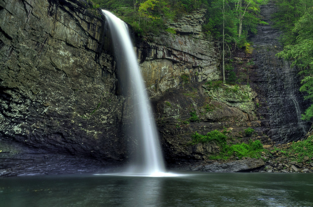
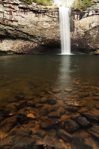
Foster Falls
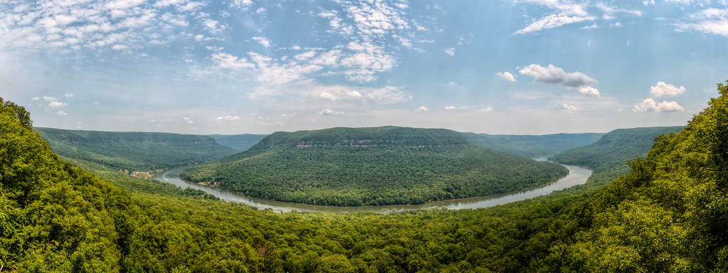
Mullen's Cove
Signal Mountain, Tennessee
The Woods of Chattanooga
Fosters Falls' Pool
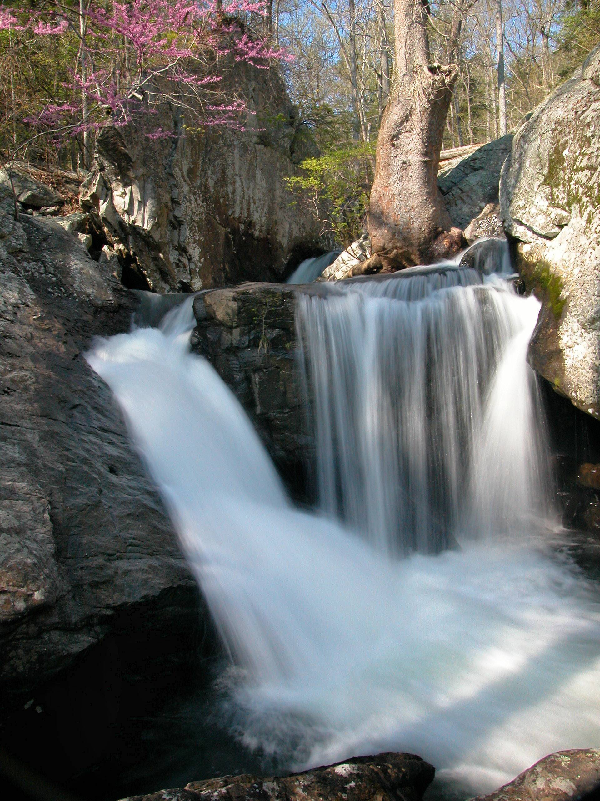
Waterfalls and Redbuds

Unnamed waterfall two seen along the old Dixie Highway
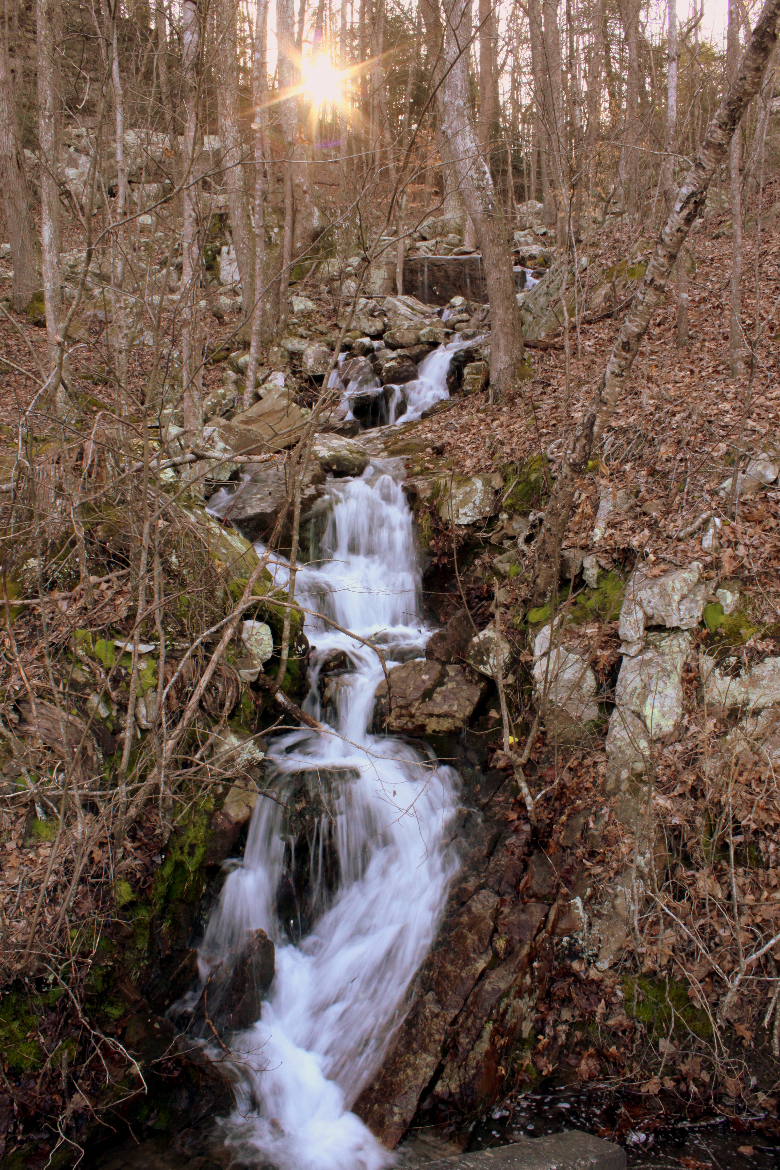
Unnamed waterfall one seen along the old Dixie Highway
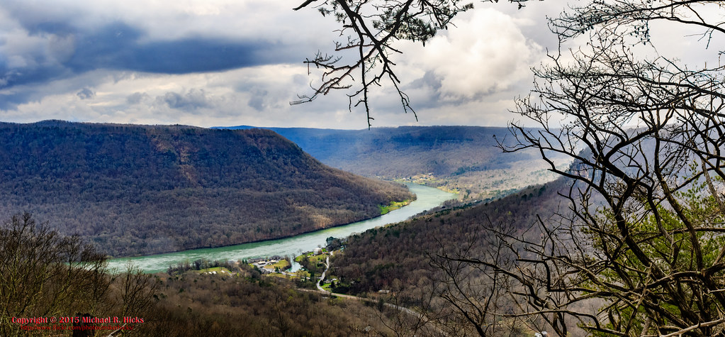
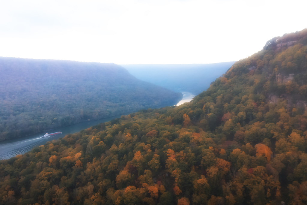
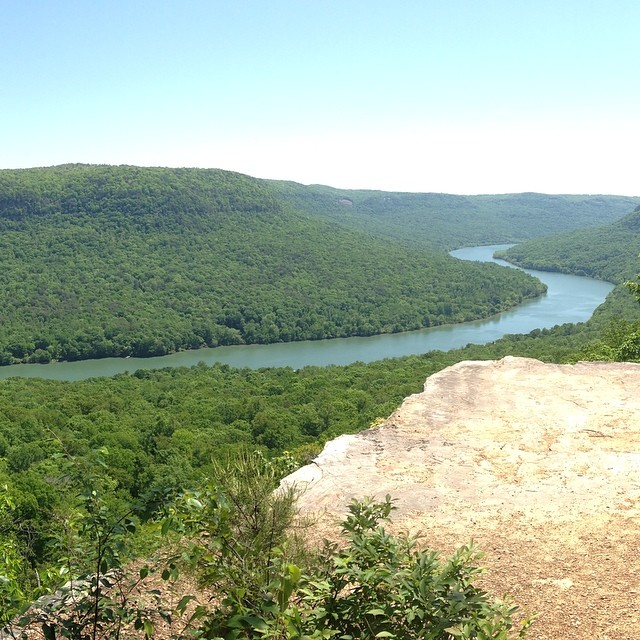
Last view of the Tennessee River
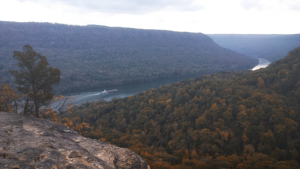
Lunch with a view

Foster Falls, TN

Foster Falls
Whitwell, TN, USA Map
Search another place
Places in Whitwell, TN, USA
Tennessee 27, TN-27, Tennessee, USA
English Cove Road, English Cove Rd, Whitwell, TN, USA
Whitwell, TN, USA
Near Places
English Cove Road, English Cove Rd, Whitwell, TN, USA
TN-, Whitwell, TN, USA
Powells Crossroads, TN, USA
Grays Creek Rd, Whitwell, TN, USA
Whitwell, TN, USA
Choctaw Trail, Chattanooga, TN, USA
Choctaw Trail, Chattanooga, TN, USA
W Valley Rd, Whitwell, TN, USA
Clear Brooks Dr, Signal Mountain, TN, USA
Daus Mountain Rd, Palmer, TN, USA
Clear Brooks Drive, Clear Brooks Dr, Tennessee, USA
Daus Mill Rd, Dunlap, TN, USA
Mossy Oak Drive, Mossy Oak Dr, Sequatchie, TN, USA
50 Wilderness Way, Dunlap, TN, USA
Farmington Ln, Dunlap, TN, USA
Palmer, TN, USA
Deep Woods Dr, Dunlap, TN, USA
Hidden Ridge Loop, Dunlap, TN, USA
Browns Hollow Rd, Tracy City, TN, USA
Mountain Hollow Drive, Mountain Hollow Dr, Signal Mountain, TN, USA
Recent Searches
- Sunrise Sunset Times of Horton in Ribblesdale, Settle BD24 0HB, UK
- Sunrise Sunset Times of Rojo Ct, Atascadero, CA, USA
- Sunrise Sunset Times of Lumagwas Diversified Farmers Multi-Purpose Cooperative, Lumagwas, Adtuyon, RV32+MH7, Pangantucan, Bu
- Sunrise Sunset Times of 12 Hutchinson Woods Dr, Fletcher, NC, USA
- Sunrise Sunset Times of Santa Maria del Mar, Peru
- Sunrise Sunset Times of Holloway Ave, San Francisco, CA, USA
- Sunrise Sunset Times of 1-chōme-1-5 Asahi, Utsunomiya, Tochigi -, Japan
- Sunrise Sunset Times of Bist Hazari, Afghanistan
- Sunrise Sunset Times of 82- D Rd, Captain Cook, HI, USA
- Sunrise Sunset Times of Harlow CM20 2PR, UK