アメリカ合衆国 〒 ワイオミング州 ザ・ウォール日の出日の入り時間
Location: アメリカ合衆国 > ワイオミング州 > パーク >
時間帯:
America/Denver
現地時間:
2024-04-28 20:56:31
経度:
-109.6161111
緯度:
44.5866666
今日の日の出時刻:
06:09:58 AM
今日の日の入時刻:
08:21:25 PM
今日の日長:
14h 11m 27s
明日の日の出時刻:
06:08:29 AM
明日の日の入時刻:
08:22:38 PM
明日の日長:
14h 14m 9s
すべて表示する
| 日付 | 日出 | 日没 | 日長 |
|---|---|---|---|
| 2024年01月01日 | 07:55:09 AM | 04:49:28 PM | 8h 54m 19s |
| 2024年01月02日 | 07:55:09 AM | 04:50:24 PM | 8h 55m 15s |
| 2024年01月03日 | 07:55:06 AM | 04:51:21 PM | 8h 56m 15s |
| 2024年01月04日 | 07:55:01 AM | 04:52:21 PM | 8h 57m 20s |
| 2024年01月05日 | 07:54:53 AM | 04:53:22 PM | 8h 58m 29s |
| 2024年01月06日 | 07:54:42 AM | 04:54:24 PM | 8h 59m 42s |
| 2024年01月07日 | 07:54:30 AM | 04:55:29 PM | 9h 0m 59s |
| 2024年01月08日 | 07:54:14 AM | 04:56:34 PM | 9h 2m 20s |
| 2024年01月09日 | 07:53:56 AM | 04:57:42 PM | 9h 3m 46s |
| 2024年01月10日 | 07:53:36 AM | 04:58:50 PM | 9h 5m 14s |
| 2024年01月11日 | 07:53:13 AM | 05:00:00 PM | 9h 6m 47s |
| 2024年01月12日 | 07:52:47 AM | 05:01:12 PM | 9h 8m 25s |
| 2024年01月13日 | 07:52:19 AM | 05:02:24 PM | 9h 10m 5s |
| 2024年01月14日 | 07:51:49 AM | 05:03:38 PM | 9h 11m 49s |
| 2024年01月15日 | 07:51:16 AM | 05:04:53 PM | 9h 13m 37s |
| 2024年01月16日 | 07:50:41 AM | 05:06:08 PM | 9h 15m 27s |
| 2024年01月17日 | 07:50:03 AM | 05:07:25 PM | 9h 17m 22s |
| 2024年01月18日 | 07:49:23 AM | 05:08:43 PM | 9h 19m 20s |
| 2024年01月19日 | 07:48:41 AM | 05:10:01 PM | 9h 21m 20s |
| 2024年01月20日 | 07:47:56 AM | 05:11:20 PM | 9h 23m 24s |
| 2024年01月21日 | 07:47:10 AM | 05:12:40 PM | 9h 25m 30s |
| 2024年01月22日 | 07:46:21 AM | 05:14:01 PM | 9h 27m 40s |
| 2024年01月23日 | 07:45:30 AM | 05:15:22 PM | 9h 29m 52s |
| 2024年01月24日 | 07:44:36 AM | 05:16:44 PM | 9h 32m 8s |
| 2024年01月25日 | 07:43:41 AM | 05:18:06 PM | 9h 34m 25s |
| 2024年01月26日 | 07:42:44 AM | 05:19:29 PM | 9h 36m 45s |
| 2024年01月27日 | 07:41:45 AM | 05:20:52 PM | 9h 39m 7s |
| 2024年01月28日 | 07:40:43 AM | 05:22:15 PM | 9h 41m 32s |
| 2024年01月29日 | 07:39:40 AM | 05:23:39 PM | 9h 43m 59s |
| 2024年01月30日 | 07:38:35 AM | 05:25:03 PM | 9h 46m 28s |
| 2024年01月31日 | 07:37:28 AM | 05:26:27 PM | 9h 48m 59s |
| 2024年02月01日 | 07:36:19 AM | 05:27:52 PM | 9h 51m 33s |
| 2024年02月02日 | 07:35:08 AM | 05:29:16 PM | 9h 54m 8s |
| 2024年02月03日 | 07:33:56 AM | 05:30:41 PM | 9h 56m 45s |
| 2024年02月04日 | 07:32:42 AM | 05:32:06 PM | 9h 59m 24s |
| 2024年02月05日 | 07:31:26 AM | 05:33:31 PM | 10h 2m 5s |
| 2024年02月06日 | 07:30:09 AM | 05:34:55 PM | 10h 4m 46s |
| 2024年02月07日 | 07:28:50 AM | 05:36:20 PM | 10h 7m 30s |
| 2024年02月08日 | 07:27:30 AM | 05:37:45 PM | 10h 10m 15s |
| 2024年02月09日 | 07:26:08 AM | 05:39:10 PM | 10h 13m 2s |
| 2024年02月10日 | 07:24:44 AM | 05:40:34 PM | 10h 15m 50s |
| 2024年02月11日 | 07:23:20 AM | 05:41:59 PM | 10h 18m 39s |
| 2024年02月12日 | 07:21:53 AM | 05:43:23 PM | 10h 21m 30s |
| 2024年02月13日 | 07:20:26 AM | 05:44:47 PM | 10h 24m 21s |
| 2024年02月14日 | 07:18:57 AM | 05:46:11 PM | 10h 27m 14s |
| 2024年02月15日 | 07:17:27 AM | 05:47:35 PM | 10h 30m 8s |
| 2024年02月16日 | 07:15:56 AM | 05:48:59 PM | 10h 33m 3s |
| 2024年02月17日 | 07:14:23 AM | 05:50:22 PM | 10h 35m 59s |
| 2024年02月18日 | 07:12:50 AM | 05:51:45 PM | 10h 38m 55s |
| 2024年02月19日 | 07:11:15 AM | 05:53:08 PM | 10h 41m 53s |
| 2024年02月20日 | 07:09:40 AM | 05:54:30 PM | 10h 44m 50s |
| 2024年02月21日 | 07:08:03 AM | 05:55:53 PM | 10h 47m 50s |
| 2024年02月22日 | 07:06:25 AM | 05:57:15 PM | 10h 50m 50s |
| 2024年02月23日 | 07:04:46 AM | 05:58:37 PM | 10h 53m 51s |
| 2024年02月24日 | 07:03:07 AM | 05:59:58 PM | 10h 56m 51s |
| 2024年02月25日 | 07:01:26 AM | 06:01:19 PM | 10h 59m 53s |
| 2024年02月26日 | 06:59:45 AM | 06:02:40 PM | 11h 2m 55s |
| 2024年02月27日 | 06:58:03 AM | 06:04:01 PM | 11h 5m 58s |
| 2024年02月28日 | 06:56:20 AM | 06:05:21 PM | 11h 9m 1s |
| 2024年02月29日 | 06:54:37 AM | 06:06:42 PM | 11h 12m 5s |
| 2024年03月01日 | 06:52:52 AM | 06:08:01 PM | 11h 15m 9s |
| 2024年03月02日 | 06:51:07 AM | 06:09:21 PM | 11h 18m 14s |
| 2024年03月03日 | 06:49:22 AM | 06:10:40 PM | 11h 21m 18s |
| 2024年03月04日 | 06:47:35 AM | 06:11:59 PM | 11h 24m 24s |
| 2024年03月05日 | 06:45:49 AM | 06:13:18 PM | 11h 27m 29s |
| 2024年03月06日 | 06:44:01 AM | 06:14:36 PM | 11h 30m 35s |
| 2024年03月07日 | 06:42:14 AM | 06:15:54 PM | 11h 33m 40s |
| 2024年03月08日 | 06:40:25 AM | 06:17:12 PM | 11h 36m 47s |
| 2024年03月09日 | 06:38:37 AM | 06:18:30 PM | 11h 39m 53s |
| 2024年03月10日 | 07:36:52 AM | 07:19:44 PM | 11h 42m 52s |
| 2024年03月11日 | 07:35:03 AM | 07:21:02 PM | 11h 45m 59s |
| 2024年03月12日 | 07:33:13 AM | 07:22:19 PM | 11h 49m 6s |
| 2024年03月13日 | 07:31:23 AM | 07:23:35 PM | 11h 52m 12s |
| 2024年03月14日 | 07:29:33 AM | 07:24:52 PM | 11h 55m 19s |
| 2024年03月15日 | 07:27:42 AM | 07:26:09 PM | 11h 58m 27s |
| 2024年03月16日 | 07:25:51 AM | 07:27:25 PM | 12h 1m 34s |
| 2024年03月17日 | 07:24:00 AM | 07:28:41 PM | 12h 4m 41s |
| 2024年03月18日 | 07:22:09 AM | 07:29:57 PM | 12h 7m 48s |
| 2024年03月19日 | 07:20:18 AM | 07:31:12 PM | 12h 10m 54s |
| 2024年03月20日 | 07:18:27 AM | 07:32:28 PM | 12h 14m 1s |
| 2024年03月21日 | 07:16:35 AM | 07:33:44 PM | 12h 17m 9s |
| 2024年03月22日 | 07:14:44 AM | 07:34:59 PM | 12h 20m 15s |
| 2024年03月23日 | 07:12:53 AM | 07:36:14 PM | 12h 23m 21s |
| 2024年03月24日 | 07:11:01 AM | 07:37:29 PM | 12h 26m 28s |
| 2024年03月25日 | 07:09:10 AM | 07:38:44 PM | 12h 29m 34s |
| 2024年03月26日 | 07:07:19 AM | 07:39:59 PM | 12h 32m 40s |
| 2024年03月27日 | 07:05:28 AM | 07:41:14 PM | 12h 35m 46s |
| 2024年03月28日 | 07:03:37 AM | 07:42:29 PM | 12h 38m 52s |
| 2024年03月29日 | 07:01:46 AM | 07:43:44 PM | 12h 41m 58s |
| 2024年03月30日 | 06:59:56 AM | 07:44:58 PM | 12h 45m 2s |
| 2024年03月31日 | 06:58:06 AM | 07:46:13 PM | 12h 48m 7s |
| 2024年04月01日 | 06:56:16 AM | 07:47:28 PM | 12h 51m 12s |
| 2024年04月02日 | 06:54:26 AM | 07:48:42 PM | 12h 54m 16s |
| 2024年04月03日 | 06:52:37 AM | 07:49:57 PM | 12h 57m 20s |
| 2024年04月04日 | 06:50:48 AM | 07:51:11 PM | 13h 0m 23s |
| 2024年04月05日 | 06:49:00 AM | 07:52:26 PM | 13h 3m 26s |
| 2024年04月06日 | 06:47:12 AM | 07:53:40 PM | 13h 6m 28s |
| 2024年04月07日 | 06:45:24 AM | 07:54:55 PM | 13h 9m 31s |
| 2024年04月08日 | 06:43:37 AM | 07:56:09 PM | 13h 12m 32s |
| 2024年04月09日 | 06:41:51 AM | 07:57:24 PM | 13h 15m 33s |
| 2024年04月10日 | 06:40:05 AM | 07:58:38 PM | 13h 18m 33s |
| 2024年04月11日 | 06:38:19 AM | 07:59:53 PM | 13h 21m 34s |
| 2024年04月12日 | 06:36:35 AM | 08:01:07 PM | 13h 24m 32s |
| 2024年04月13日 | 06:34:51 AM | 08:02:21 PM | 13h 27m 30s |
| 2024年04月14日 | 06:33:08 AM | 08:03:36 PM | 13h 30m 28s |
| 2024年04月15日 | 06:31:25 AM | 08:04:50 PM | 13h 33m 25s |
| 2024年04月16日 | 06:29:43 AM | 08:06:05 PM | 13h 36m 22s |
| 2024年04月17日 | 06:28:02 AM | 08:07:19 PM | 13h 39m 17s |
| 2024年04月18日 | 06:26:22 AM | 08:08:34 PM | 13h 42m 12s |
| 2024年04月19日 | 06:24:43 AM | 08:09:48 PM | 13h 45m 5s |
| 2024年04月20日 | 06:23:05 AM | 08:11:02 PM | 13h 47m 57s |
| 2024年04月21日 | 06:21:27 AM | 08:12:17 PM | 13h 50m 50s |
| 2024年04月22日 | 06:19:51 AM | 08:13:31 PM | 13h 53m 40s |
| 2024年04月23日 | 06:18:15 AM | 08:14:45 PM | 13h 56m 30s |
| 2024年04月24日 | 06:16:41 AM | 08:15:59 PM | 13h 59m 18s |
| 2024年04月25日 | 06:15:08 AM | 08:17:13 PM | 14h 2m 5s |
| 2024年04月26日 | 06:13:35 AM | 08:18:27 PM | 14h 4m 52s |
| 2024年04月27日 | 06:12:04 AM | 08:19:41 PM | 14h 7m 37s |
| 2024年04月28日 | 06:10:35 AM | 08:20:54 PM | 14h 10m 19s |
| 2024年04月29日 | 06:09:06 AM | 08:22:08 PM | 14h 13m 2s |
| 2024年04月30日 | 06:07:39 AM | 08:23:21 PM | 14h 15m 42s |
| 2024年05月01日 | 06:06:13 AM | 08:24:34 PM | 14h 18m 21s |
| 2024年05月02日 | 06:04:48 AM | 08:25:47 PM | 14h 20m 59s |
| 2024年05月03日 | 06:03:24 AM | 08:26:59 PM | 14h 23m 35s |
| 2024年05月04日 | 06:02:03 AM | 08:28:12 PM | 14h 26m 9s |
| 2024年05月05日 | 06:00:42 AM | 08:29:24 PM | 14h 28m 42s |
| 2024年05月06日 | 05:59:23 AM | 08:30:35 PM | 14h 31m 12s |
| 2024年05月07日 | 05:58:05 AM | 08:31:46 PM | 14h 33m 41s |
| 2024年05月08日 | 05:56:49 AM | 08:32:57 PM | 14h 36m 8s |
| 2024年05月09日 | 05:55:35 AM | 08:34:08 PM | 14h 38m 33s |
| 2024年05月10日 | 05:54:22 AM | 08:35:17 PM | 14h 40m 55s |
| 2024年05月11日 | 05:53:11 AM | 08:36:27 PM | 14h 43m 16s |
| 2024年05月12日 | 05:52:02 AM | 08:37:36 PM | 14h 45m 34s |
| 2024年05月13日 | 05:50:54 AM | 08:38:44 PM | 14h 47m 50s |
| 2024年05月14日 | 05:49:48 AM | 08:39:52 PM | 14h 50m 4s |
| 2024年05月15日 | 05:48:44 AM | 08:40:59 PM | 14h 52m 15s |
| 2024年05月16日 | 05:47:41 AM | 08:42:05 PM | 14h 54m 24s |
| 2024年05月17日 | 05:46:41 AM | 08:43:11 PM | 14h 56m 30s |
| 2024年05月18日 | 05:45:42 AM | 08:44:15 PM | 14h 58m 33s |
| 2024年05月19日 | 05:44:45 AM | 08:45:19 PM | 15h 0m 34s |
| 2024年05月20日 | 05:43:51 AM | 08:46:22 PM | 15h 2m 31s |
| 2024年05月21日 | 05:42:58 AM | 08:47:24 PM | 15h 4m 26s |
| 2024年05月22日 | 05:42:07 AM | 08:48:26 PM | 15h 6m 19s |
| 2024年05月23日 | 05:41:18 AM | 08:49:26 PM | 15h 8m 8s |
| 2024年05月24日 | 05:40:31 AM | 08:50:25 PM | 15h 9m 54s |
| 2024年05月25日 | 05:39:47 AM | 08:51:23 PM | 15h 11m 36s |
| 2024年05月26日 | 05:39:04 AM | 08:52:19 PM | 15h 13m 15s |
| 2024年05月27日 | 05:38:24 AM | 08:53:15 PM | 15h 14m 51s |
| 2024年05月28日 | 05:37:46 AM | 08:54:09 PM | 15h 16m 23s |
| 2024年05月29日 | 05:37:10 AM | 08:55:02 PM | 15h 17m 52s |
| 2024年05月30日 | 05:36:36 AM | 08:55:54 PM | 15h 19m 18s |
| 2024年05月31日 | 05:36:04 AM | 08:56:44 PM | 15h 20m 40s |
| 2024年06月01日 | 05:35:35 AM | 08:57:33 PM | 15h 21m 58s |
| 2024年06月02日 | 05:35:08 AM | 08:58:20 PM | 15h 23m 12s |
| 2024年06月03日 | 05:34:43 AM | 08:59:06 PM | 15h 24m 23s |
| 2024年06月04日 | 05:34:20 AM | 08:59:50 PM | 15h 25m 30s |
| 2024年06月05日 | 05:34:00 AM | 09:00:32 PM | 15h 26m 32s |
| 2024年06月06日 | 05:33:42 AM | 09:01:13 PM | 15h 27m 31s |
| 2024年06月07日 | 05:33:26 AM | 09:01:52 PM | 15h 28m 26s |
| 2024年06月08日 | 05:33:13 AM | 09:02:29 PM | 15h 29m 16s |
| 2024年06月09日 | 05:33:01 AM | 09:03:04 PM | 15h 30m 3s |
| 2024年06月10日 | 05:32:53 AM | 09:03:37 PM | 15h 30m 44s |
| 2024年06月11日 | 05:32:46 AM | 09:04:09 PM | 15h 31m 23s |
| 2024年06月12日 | 05:32:42 AM | 09:04:38 PM | 15h 31m 56s |
| 2024年06月13日 | 05:32:40 AM | 09:05:06 PM | 15h 32m 26s |
| 2024年06月14日 | 05:32:40 AM | 09:05:31 PM | 15h 32m 51s |
| 2024年06月15日 | 05:32:42 AM | 09:05:55 PM | 15h 33m 13s |
| 2024年06月16日 | 05:32:47 AM | 09:06:16 PM | 15h 33m 29s |
| 2024年06月17日 | 05:32:54 AM | 09:06:35 PM | 15h 33m 41s |
| 2024年06月18日 | 05:33:03 AM | 09:06:52 PM | 15h 33m 49s |
| 2024年06月19日 | 05:33:14 AM | 09:07:07 PM | 15h 33m 53s |
| 2024年06月20日 | 05:33:28 AM | 09:07:20 PM | 15h 33m 52s |
| 2024年06月21日 | 05:33:44 AM | 09:07:30 PM | 15h 33m 46s |
| 2024年06月22日 | 05:34:01 AM | 09:07:38 PM | 15h 33m 37s |
| 2024年06月23日 | 05:34:21 AM | 09:07:44 PM | 15h 33m 23s |
| 2024年06月24日 | 05:34:43 AM | 09:07:48 PM | 15h 33m 5s |
| 2024年06月25日 | 05:35:07 AM | 09:07:49 PM | 15h 32m 42s |
| 2024年06月26日 | 05:35:33 AM | 09:07:48 PM | 15h 32m 15s |
| 2024年06月27日 | 05:36:01 AM | 09:07:45 PM | 15h 31m 44s |
| 2024年06月28日 | 05:36:30 AM | 09:07:39 PM | 15h 31m 9s |
| 2024年06月29日 | 05:37:02 AM | 09:07:31 PM | 15h 30m 29s |
| 2024年06月30日 | 05:37:35 AM | 09:07:21 PM | 15h 29m 46s |
| 2024年07月01日 | 05:38:10 AM | 09:07:08 PM | 15h 28m 58s |
| 2024年07月02日 | 05:38:47 AM | 09:06:53 PM | 15h 28m 6s |
| 2024年07月03日 | 05:39:26 AM | 09:06:35 PM | 15h 27m 9s |
| 2024年07月04日 | 05:40:06 AM | 09:06:16 PM | 15h 26m 10s |
| 2024年07月05日 | 05:40:48 AM | 09:05:54 PM | 15h 25m 6s |
| 2024年07月06日 | 05:41:32 AM | 09:05:29 PM | 15h 23m 57s |
| 2024年07月07日 | 05:42:16 AM | 09:05:03 PM | 15h 22m 47s |
| 2024年07月08日 | 05:43:03 AM | 09:04:34 PM | 15h 21m 31s |
| 2024年07月09日 | 05:43:51 AM | 09:04:03 PM | 15h 20m 12s |
| 2024年07月10日 | 05:44:40 AM | 09:03:29 PM | 15h 18m 49s |
| 2024年07月11日 | 05:45:30 AM | 09:02:54 PM | 15h 17m 24s |
| 2024年07月12日 | 05:46:22 AM | 09:02:16 PM | 15h 15m 54s |
| 2024年07月13日 | 05:47:15 AM | 09:01:36 PM | 15h 14m 21s |
| 2024年07月14日 | 05:48:09 AM | 09:00:54 PM | 15h 12m 45s |
| 2024年07月15日 | 05:49:05 AM | 09:00:09 PM | 15h 11m 4s |
| 2024年07月16日 | 05:50:01 AM | 08:59:23 PM | 15h 9m 22s |
| 2024年07月17日 | 05:50:58 AM | 08:58:34 PM | 15h 7m 36s |
| 2024年07月18日 | 05:51:57 AM | 08:57:43 PM | 15h 5m 46s |
| 2024年07月19日 | 05:52:56 AM | 08:56:51 PM | 15h 3m 55s |
| 2024年07月20日 | 05:53:56 AM | 08:55:56 PM | 15h 2m 0s |
| 2024年07月21日 | 05:54:57 AM | 08:54:59 PM | 15h 0m 2s |
| 2024年07月22日 | 05:55:59 AM | 08:54:01 PM | 14h 58m 2s |
| 2024年07月23日 | 05:57:01 AM | 08:53:00 PM | 14h 55m 59s |
| 2024年07月24日 | 05:58:04 AM | 08:51:58 PM | 14h 53m 54s |
| 2024年07月25日 | 05:59:08 AM | 08:50:53 PM | 14h 51m 45s |
| 2024年07月26日 | 06:00:13 AM | 08:49:47 PM | 14h 49m 34s |
| 2024年07月27日 | 06:01:18 AM | 08:48:39 PM | 14h 47m 21s |
| 2024年07月28日 | 06:02:24 AM | 08:47:30 PM | 14h 45m 6s |
| 2024年07月29日 | 06:03:30 AM | 08:46:18 PM | 14h 42m 48s |
| 2024年07月30日 | 06:04:36 AM | 08:45:05 PM | 14h 40m 29s |
| 2024年07月31日 | 06:05:43 AM | 08:43:50 PM | 14h 38m 7s |
| 2024年08月01日 | 06:06:51 AM | 08:42:34 PM | 14h 35m 43s |
| 2024年08月02日 | 06:07:58 AM | 08:41:16 PM | 14h 33m 18s |
| 2024年08月03日 | 06:09:06 AM | 08:39:57 PM | 14h 30m 51s |
| 2024年08月04日 | 06:10:15 AM | 08:38:36 PM | 14h 28m 21s |
| 2024年08月05日 | 06:11:23 AM | 08:37:13 PM | 14h 25m 50s |
| 2024年08月06日 | 06:12:32 AM | 08:35:50 PM | 14h 23m 18s |
| 2024年08月07日 | 06:13:41 AM | 08:34:24 PM | 14h 20m 43s |
| 2024年08月08日 | 06:14:51 AM | 08:32:58 PM | 14h 18m 7s |
| 2024年08月09日 | 06:16:00 AM | 08:31:30 PM | 14h 15m 30s |
| 2024年08月10日 | 06:17:10 AM | 08:30:01 PM | 14h 12m 51s |
| 2024年08月11日 | 06:18:20 AM | 08:28:30 PM | 14h 10m 10s |
| 2024年08月12日 | 06:19:30 AM | 08:26:59 PM | 14h 7m 29s |
| 2024年08月13日 | 06:20:40 AM | 08:25:26 PM | 14h 4m 46s |
| 2024年08月14日 | 06:21:50 AM | 08:23:52 PM | 14h 2m 2s |
| 2024年08月15日 | 06:23:00 AM | 08:22:17 PM | 13h 59m 17s |
| 2024年08月16日 | 06:24:10 AM | 08:20:40 PM | 13h 56m 30s |
| 2024年08月17日 | 06:25:20 AM | 08:19:03 PM | 13h 53m 43s |
| 2024年08月18日 | 06:26:30 AM | 08:17:25 PM | 13h 50m 55s |
| 2024年08月19日 | 06:27:40 AM | 08:15:46 PM | 13h 48m 6s |
| 2024年08月20日 | 06:28:51 AM | 08:14:06 PM | 13h 45m 15s |
| 2024年08月21日 | 06:30:01 AM | 08:12:25 PM | 13h 42m 24s |
| 2024年08月22日 | 06:31:11 AM | 08:10:43 PM | 13h 39m 32s |
| 2024年08月23日 | 06:32:21 AM | 08:09:00 PM | 13h 36m 39s |
| 2024年08月24日 | 06:33:32 AM | 08:07:17 PM | 13h 33m 45s |
| 2024年08月25日 | 06:34:42 AM | 08:05:32 PM | 13h 30m 50s |
| 2024年08月26日 | 06:35:52 AM | 08:03:47 PM | 13h 27m 55s |
| 2024年08月27日 | 06:37:02 AM | 08:02:02 PM | 13h 25m 0s |
| 2024年08月28日 | 06:38:12 AM | 08:00:15 PM | 13h 22m 3s |
| 2024年08月29日 | 06:39:22 AM | 07:58:28 PM | 13h 19m 6s |
| 2024年08月30日 | 06:40:32 AM | 07:56:40 PM | 13h 16m 8s |
| 2024年08月31日 | 06:41:42 AM | 07:54:52 PM | 13h 13m 10s |
| 2024年09月01日 | 06:42:52 AM | 07:53:03 PM | 13h 10m 11s |
| 2024年09月02日 | 06:44:02 AM | 07:51:14 PM | 13h 7m 12s |
| 2024年09月03日 | 06:45:12 AM | 07:49:24 PM | 13h 4m 12s |
| 2024年09月04日 | 06:46:22 AM | 07:47:34 PM | 13h 1m 12s |
| 2024年09月05日 | 06:47:32 AM | 07:45:44 PM | 12h 58m 12s |
| 2024年09月06日 | 06:48:42 AM | 07:43:53 PM | 12h 55m 11s |
| 2024年09月07日 | 06:49:52 AM | 07:42:01 PM | 12h 52m 9s |
| 2024年09月08日 | 06:51:02 AM | 07:40:10 PM | 12h 49m 8s |
| 2024年09月09日 | 06:52:11 AM | 07:38:18 PM | 12h 46m 7s |
| 2024年09月10日 | 06:53:21 AM | 07:36:25 PM | 12h 43m 4s |
| 2024年09月11日 | 06:54:31 AM | 07:34:33 PM | 12h 40m 2s |
| 2024年09月12日 | 06:55:42 AM | 07:32:40 PM | 12h 36m 58s |
| 2024年09月13日 | 06:56:52 AM | 07:30:47 PM | 12h 33m 55s |
| 2024年09月14日 | 06:58:02 AM | 07:28:54 PM | 12h 30m 52s |
| 2024年09月15日 | 06:59:12 AM | 07:27:01 PM | 12h 27m 49s |
| 2024年09月16日 | 07:00:22 AM | 07:25:08 PM | 12h 24m 46s |
| 2024年09月17日 | 07:01:33 AM | 07:23:15 PM | 12h 21m 42s |
| 2024年09月18日 | 07:02:43 AM | 07:21:21 PM | 12h 18m 38s |
| 2024年09月19日 | 07:03:54 AM | 07:19:28 PM | 12h 15m 34s |
| 2024年09月20日 | 07:05:05 AM | 07:17:35 PM | 12h 12m 30s |
| 2024年09月21日 | 07:06:16 AM | 07:15:41 PM | 12h 9m 25s |
| 2024年09月22日 | 07:07:27 AM | 07:13:48 PM | 12h 6m 21s |
| 2024年09月23日 | 07:08:38 AM | 07:11:55 PM | 12h 3m 17s |
| 2024年09月24日 | 07:09:49 AM | 07:10:03 PM | 12h 0m 14s |
| 2024年09月25日 | 07:11:01 AM | 07:08:10 PM | 11h 57m 9s |
| 2024年09月26日 | 07:12:12 AM | 07:06:18 PM | 11h 54m 6s |
| 2024年09月27日 | 07:13:24 AM | 07:04:25 PM | 11h 51m 1s |
| 2024年09月28日 | 07:14:36 AM | 07:02:34 PM | 11h 47m 58s |
| 2024年09月29日 | 07:15:49 AM | 07:00:42 PM | 11h 44m 53s |
| 2024年09月30日 | 07:17:01 AM | 06:58:51 PM | 11h 41m 50s |
| 2024年10月01日 | 07:18:14 AM | 06:57:00 PM | 11h 38m 46s |
| 2024年10月02日 | 07:19:27 AM | 06:55:09 PM | 11h 35m 42s |
| 2024年10月03日 | 07:20:41 AM | 06:53:19 PM | 11h 32m 38s |
| 2024年10月04日 | 07:21:54 AM | 06:51:30 PM | 11h 29m 36s |
| 2024年10月05日 | 07:23:08 AM | 06:49:41 PM | 11h 26m 33s |
| 2024年10月06日 | 07:24:22 AM | 06:47:52 PM | 11h 23m 30s |
| 2024年10月07日 | 07:25:37 AM | 06:46:04 PM | 11h 20m 27s |
| 2024年10月08日 | 07:26:51 AM | 06:44:17 PM | 11h 17m 26s |
| 2024年10月09日 | 07:28:06 AM | 06:42:30 PM | 11h 14m 24s |
| 2024年10月10日 | 07:29:22 AM | 06:40:44 PM | 11h 11m 22s |
| 2024年10月11日 | 07:30:37 AM | 06:38:59 PM | 11h 8m 22s |
| 2024年10月12日 | 07:31:53 AM | 06:37:14 PM | 11h 5m 21s |
| 2024年10月13日 | 07:33:09 AM | 06:35:30 PM | 11h 2m 21s |
| 2024年10月14日 | 07:34:26 AM | 06:33:47 PM | 10h 59m 21s |
| 2024年10月15日 | 07:35:43 AM | 06:32:05 PM | 10h 56m 22s |
| 2024年10月16日 | 07:37:00 AM | 06:30:24 PM | 10h 53m 24s |
| 2024年10月17日 | 07:38:17 AM | 06:28:43 PM | 10h 50m 26s |
| 2024年10月18日 | 07:39:35 AM | 06:27:04 PM | 10h 47m 29s |
| 2024年10月19日 | 07:40:53 AM | 06:25:25 PM | 10h 44m 32s |
| 2024年10月20日 | 07:42:11 AM | 06:23:48 PM | 10h 41m 37s |
| 2024年10月21日 | 07:43:30 AM | 06:22:11 PM | 10h 38m 41s |
| 2024年10月22日 | 07:44:49 AM | 06:20:36 PM | 10h 35m 47s |
| 2024年10月23日 | 07:46:08 AM | 06:19:02 PM | 10h 32m 54s |
| 2024年10月24日 | 07:47:27 AM | 06:17:29 PM | 10h 30m 2s |
| 2024年10月25日 | 07:48:47 AM | 06:15:57 PM | 10h 27m 10s |
| 2024年10月26日 | 07:50:07 AM | 06:14:26 PM | 10h 24m 19s |
| 2024年10月27日 | 07:51:27 AM | 06:12:57 PM | 10h 21m 30s |
| 2024年10月28日 | 07:52:48 AM | 06:11:29 PM | 10h 18m 41s |
| 2024年10月29日 | 07:54:08 AM | 06:10:02 PM | 10h 15m 54s |
| 2024年10月30日 | 07:55:29 AM | 06:08:37 PM | 10h 13m 8s |
| 2024年10月31日 | 07:56:50 AM | 06:07:13 PM | 10h 10m 23s |
| 2024年11月01日 | 07:58:11 AM | 06:05:51 PM | 10h 7m 40s |
| 2024年11月02日 | 07:59:32 AM | 06:04:30 PM | 10h 4m 58s |
| 2024年11月03日 | 07:00:57 AM | 05:03:08 PM | 10h 2m 11s |
| 2024年11月04日 | 07:02:18 AM | 05:01:50 PM | 9h 59m 32s |
| 2024年11月05日 | 07:03:39 AM | 05:00:34 PM | 9h 56m 55s |
| 2024年11月06日 | 07:05:00 AM | 04:59:20 PM | 9h 54m 20s |
| 2024年11月07日 | 07:06:22 AM | 04:58:07 PM | 9h 51m 45s |
| 2024年11月08日 | 07:07:43 AM | 04:56:57 PM | 9h 49m 14s |
| 2024年11月09日 | 07:09:04 AM | 04:55:48 PM | 9h 46m 44s |
| 2024年11月10日 | 07:10:25 AM | 04:54:41 PM | 9h 44m 16s |
| 2024年11月11日 | 07:11:45 AM | 04:53:36 PM | 9h 41m 51s |
| 2024年11月12日 | 07:13:06 AM | 04:52:32 PM | 9h 39m 26s |
| 2024年11月13日 | 07:14:26 AM | 04:51:31 PM | 9h 37m 5s |
| 2024年11月14日 | 07:15:46 AM | 04:50:32 PM | 9h 34m 46s |
| 2024年11月15日 | 07:17:05 AM | 04:49:35 PM | 9h 32m 30s |
| 2024年11月16日 | 07:18:24 AM | 04:48:39 PM | 9h 30m 15s |
| 2024年11月17日 | 07:19:43 AM | 04:47:46 PM | 9h 28m 3s |
| 2024年11月18日 | 07:21:01 AM | 04:46:56 PM | 9h 25m 55s |
| 2024年11月19日 | 07:22:19 AM | 04:46:07 PM | 9h 23m 48s |
| 2024年11月20日 | 07:23:35 AM | 04:45:20 PM | 9h 21m 45s |
| 2024年11月21日 | 07:24:52 AM | 04:44:36 PM | 9h 19m 44s |
| 2024年11月22日 | 07:26:07 AM | 04:43:55 PM | 9h 17m 48s |
| 2024年11月23日 | 07:27:22 AM | 04:43:15 PM | 9h 15m 53s |
| 2024年11月24日 | 07:28:36 AM | 04:42:38 PM | 9h 14m 2s |
| 2024年11月25日 | 07:29:49 AM | 04:42:03 PM | 9h 12m 14s |
| 2024年11月26日 | 07:31:01 AM | 04:41:31 PM | 9h 10m 30s |
| 2024年11月27日 | 07:32:11 AM | 04:41:01 PM | 9h 8m 50s |
| 2024年11月28日 | 07:33:21 AM | 04:40:34 PM | 9h 7m 13s |
| 2024年11月29日 | 07:34:30 AM | 04:40:09 PM | 9h 5m 39s |
| 2024年11月30日 | 07:35:37 AM | 04:39:46 PM | 9h 4m 9s |
| 2024年12月01日 | 07:36:43 AM | 04:39:27 PM | 9h 2m 44s |
| 2024年12月02日 | 07:37:48 AM | 04:39:09 PM | 9h 1m 21s |
| 2024年12月03日 | 07:38:52 AM | 04:38:55 PM | 9h 0m 3s |
| 2024年12月04日 | 07:39:53 AM | 04:38:43 PM | 8h 58m 50s |
| 2024年12月05日 | 07:40:54 AM | 04:38:33 PM | 8h 57m 39s |
| 2024年12月06日 | 07:41:53 AM | 04:38:26 PM | 8h 56m 33s |
| 2024年12月07日 | 07:42:50 AM | 04:38:22 PM | 8h 55m 32s |
| 2024年12月08日 | 07:43:45 AM | 04:38:20 PM | 8h 54m 35s |
| 2024年12月09日 | 07:44:39 AM | 04:38:21 PM | 8h 53m 42s |
| 2024年12月10日 | 07:45:30 AM | 04:38:25 PM | 8h 52m 55s |
| 2024年12月11日 | 07:46:20 AM | 04:38:31 PM | 8h 52m 11s |
| 2024年12月12日 | 07:47:08 AM | 04:38:40 PM | 8h 51m 32s |
| 2024年12月13日 | 07:47:54 AM | 04:38:52 PM | 8h 50m 58s |
| 2024年12月14日 | 07:48:38 AM | 04:39:06 PM | 8h 50m 28s |
| 2024年12月15日 | 07:49:19 AM | 04:39:22 PM | 8h 50m 3s |
| 2024年12月16日 | 07:49:59 AM | 04:39:42 PM | 8h 49m 43s |
| 2024年12月17日 | 07:50:36 AM | 04:40:03 PM | 8h 49m 27s |
| 2024年12月18日 | 07:51:11 AM | 04:40:27 PM | 8h 49m 16s |
| 2024年12月19日 | 07:51:44 AM | 04:40:54 PM | 8h 49m 10s |
| 2024年12月20日 | 07:52:15 AM | 04:41:23 PM | 8h 49m 8s |
| 2024年12月21日 | 07:52:43 AM | 04:41:55 PM | 8h 49m 12s |
| 2024年12月22日 | 07:53:08 AM | 04:42:29 PM | 8h 49m 21s |
| 2024年12月23日 | 07:53:32 AM | 04:43:05 PM | 8h 49m 33s |
| 2024年12月24日 | 07:53:53 AM | 04:43:44 PM | 8h 49m 51s |
| 2024年12月25日 | 07:54:11 AM | 04:44:24 PM | 8h 50m 13s |
| 2024年12月26日 | 07:54:27 AM | 04:45:08 PM | 8h 50m 41s |
| 2024年12月27日 | 07:54:40 AM | 04:45:53 PM | 8h 51m 13s |
| 2024年12月28日 | 07:54:51 AM | 04:46:40 PM | 8h 51m 49s |
| 2024年12月29日 | 07:54:59 AM | 04:47:30 PM | 8h 52m 31s |
| 2024年12月30日 | 07:55:05 AM | 04:48:21 PM | 8h 53m 16s |
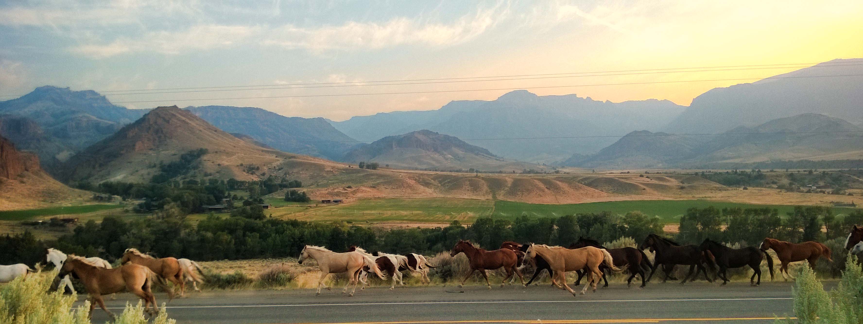
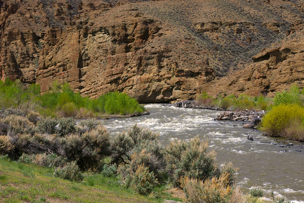
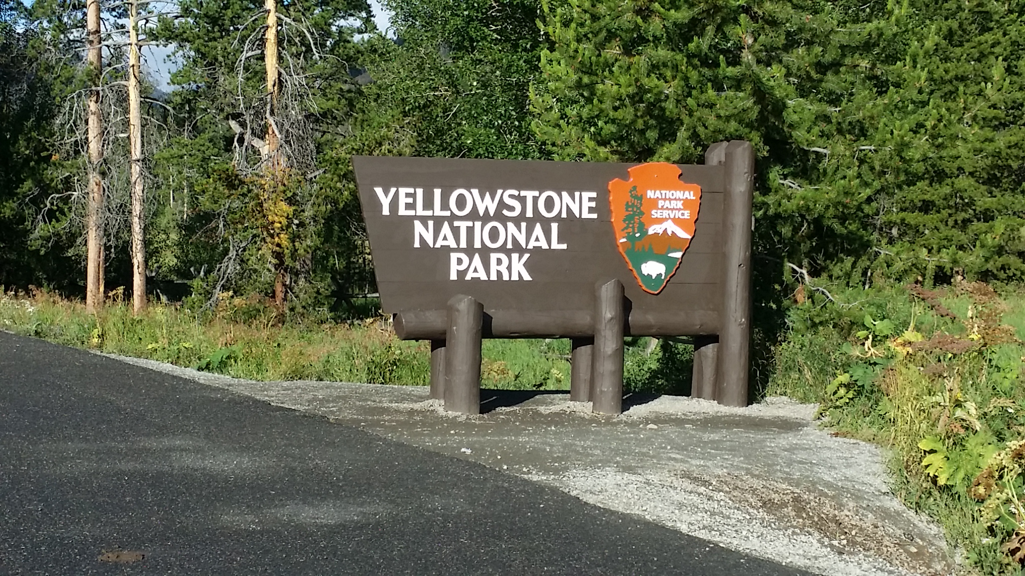
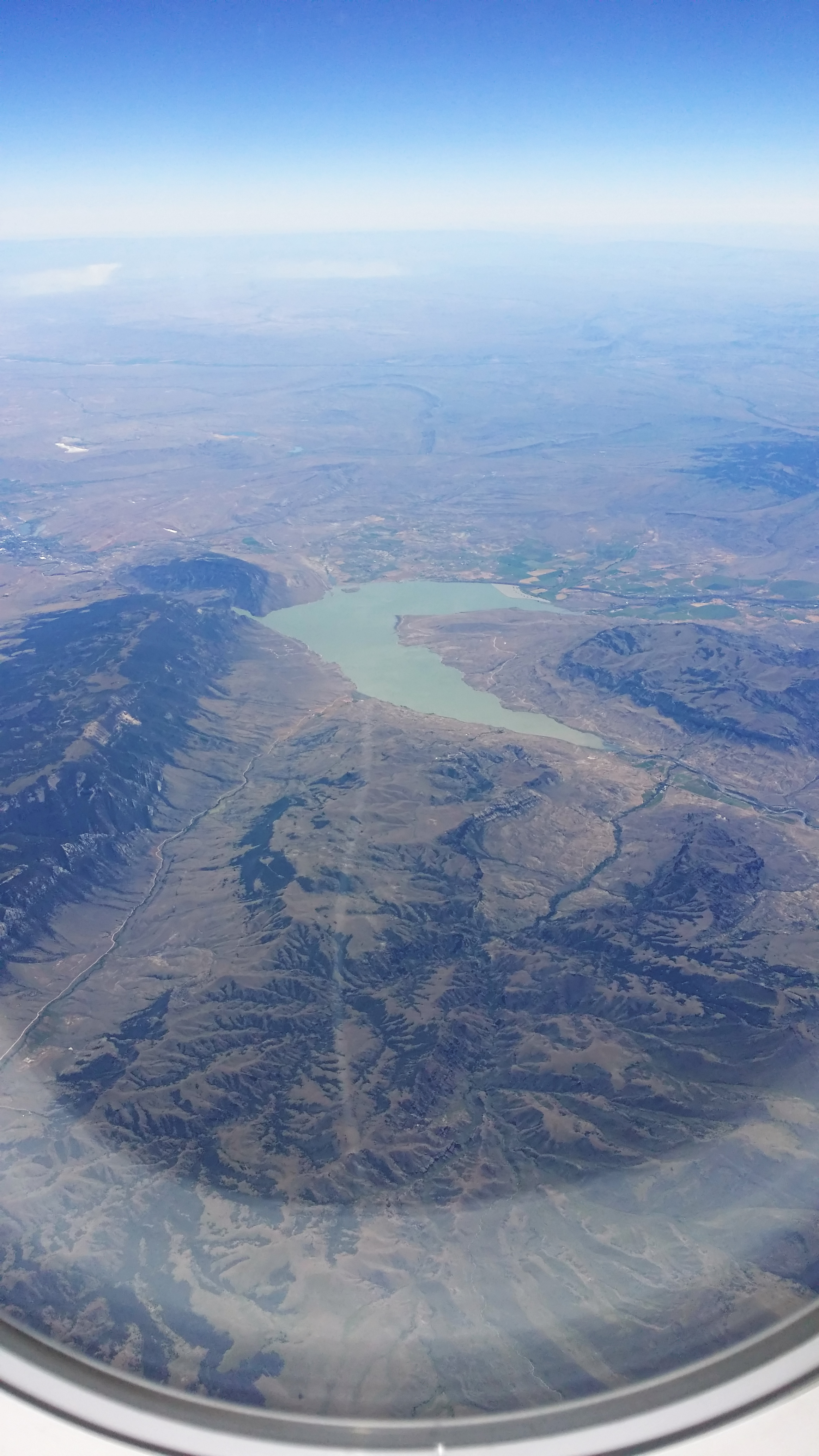
写真

Snake River
I'M A LONESOME COWBOY
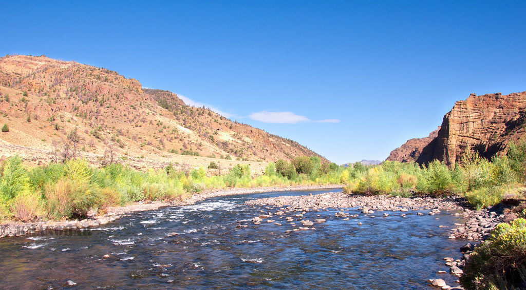
Shoshone River
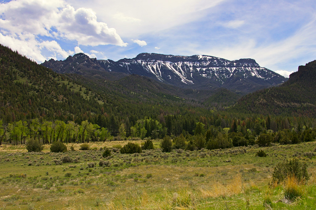
Cody to Yellowstone
Cody to Yellowstone
Cody to Yellowstone
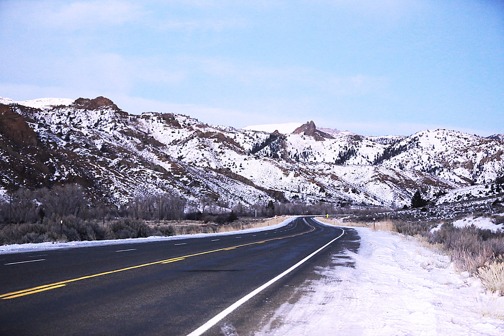
Highway in the Evening
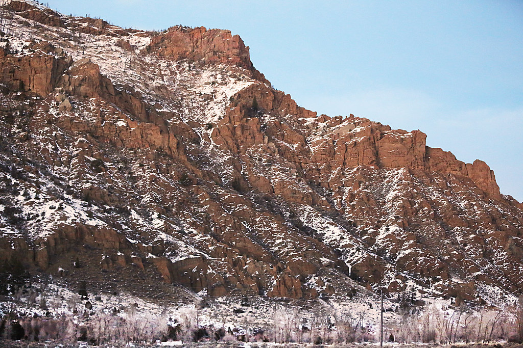
Cliffs near Wapiti Ranger Station
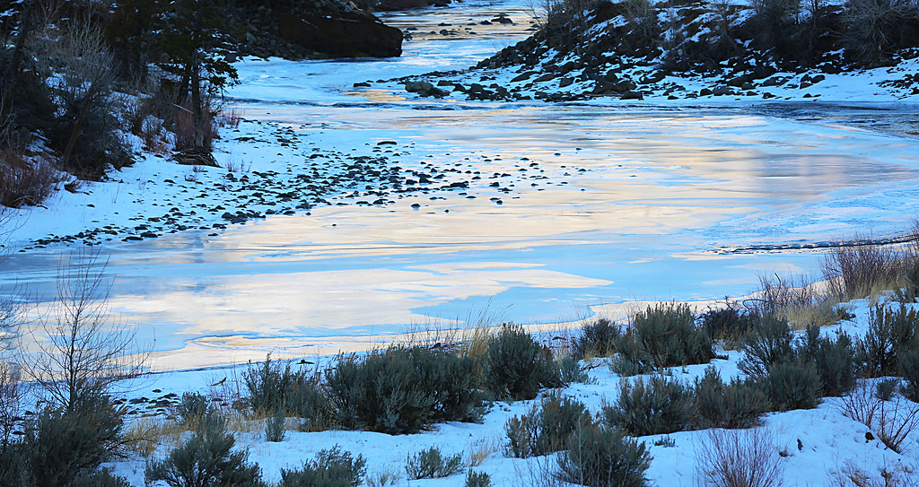
Ice on the North Fortk
Volcanics and Clouds

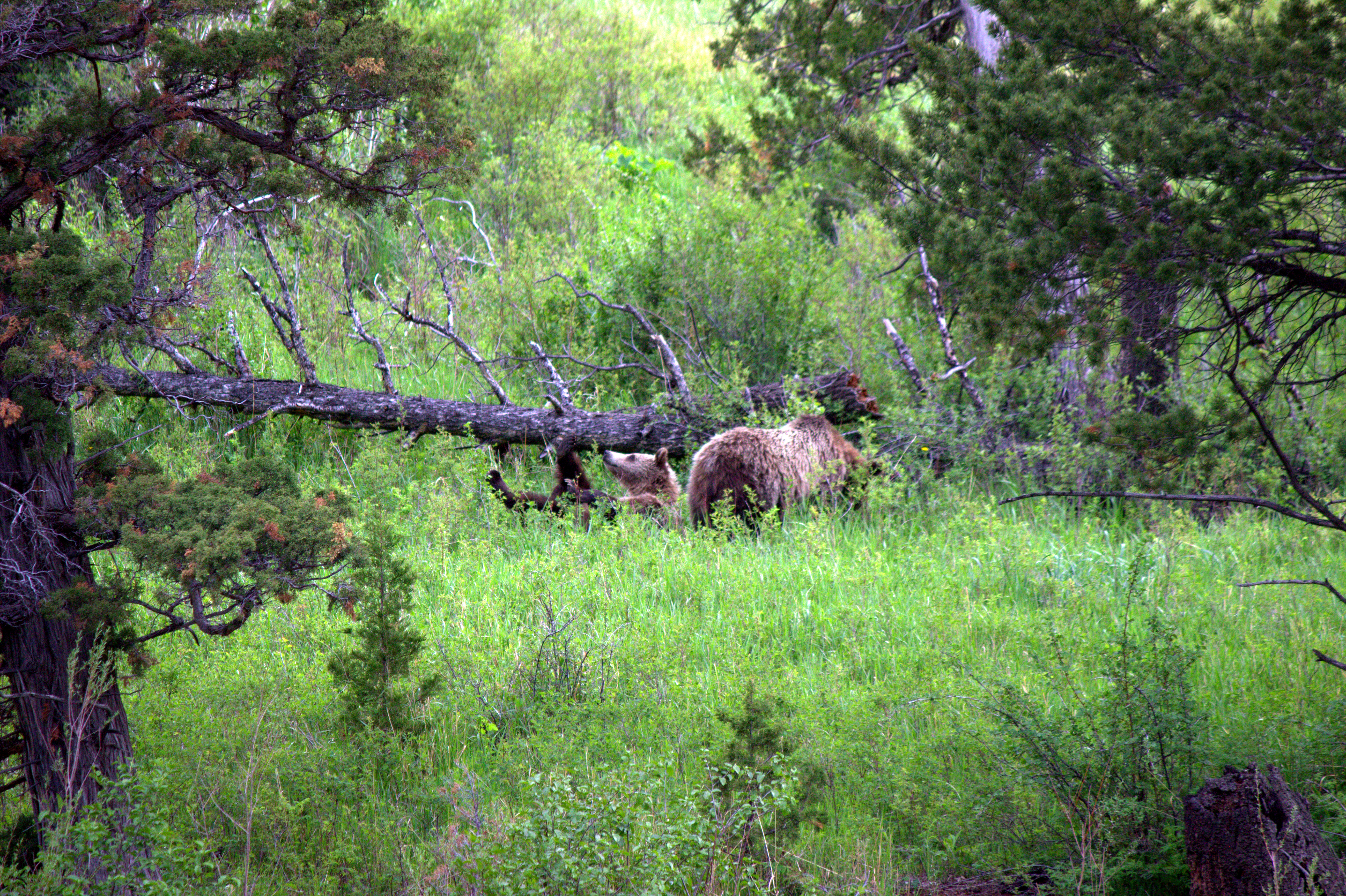
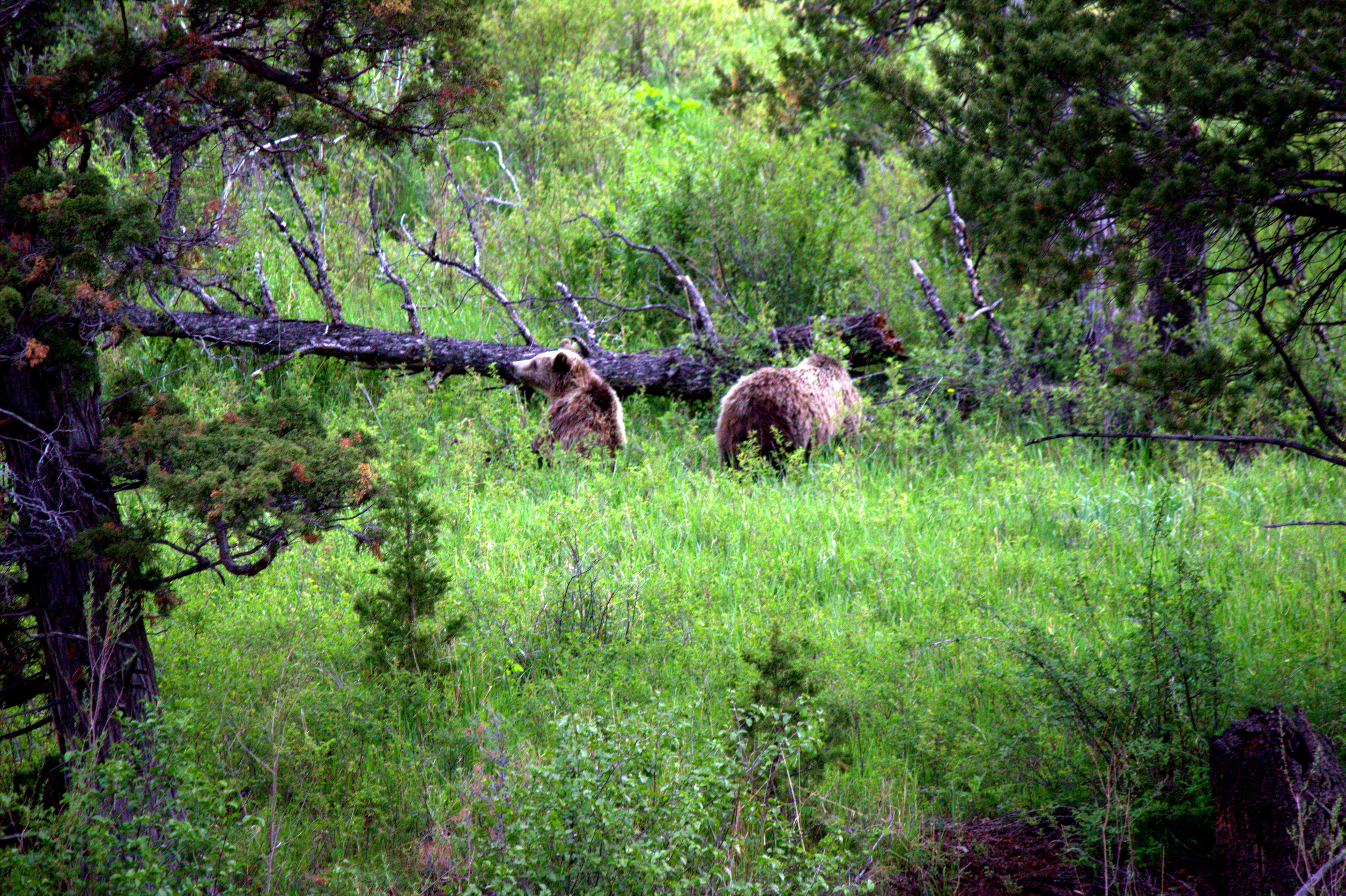
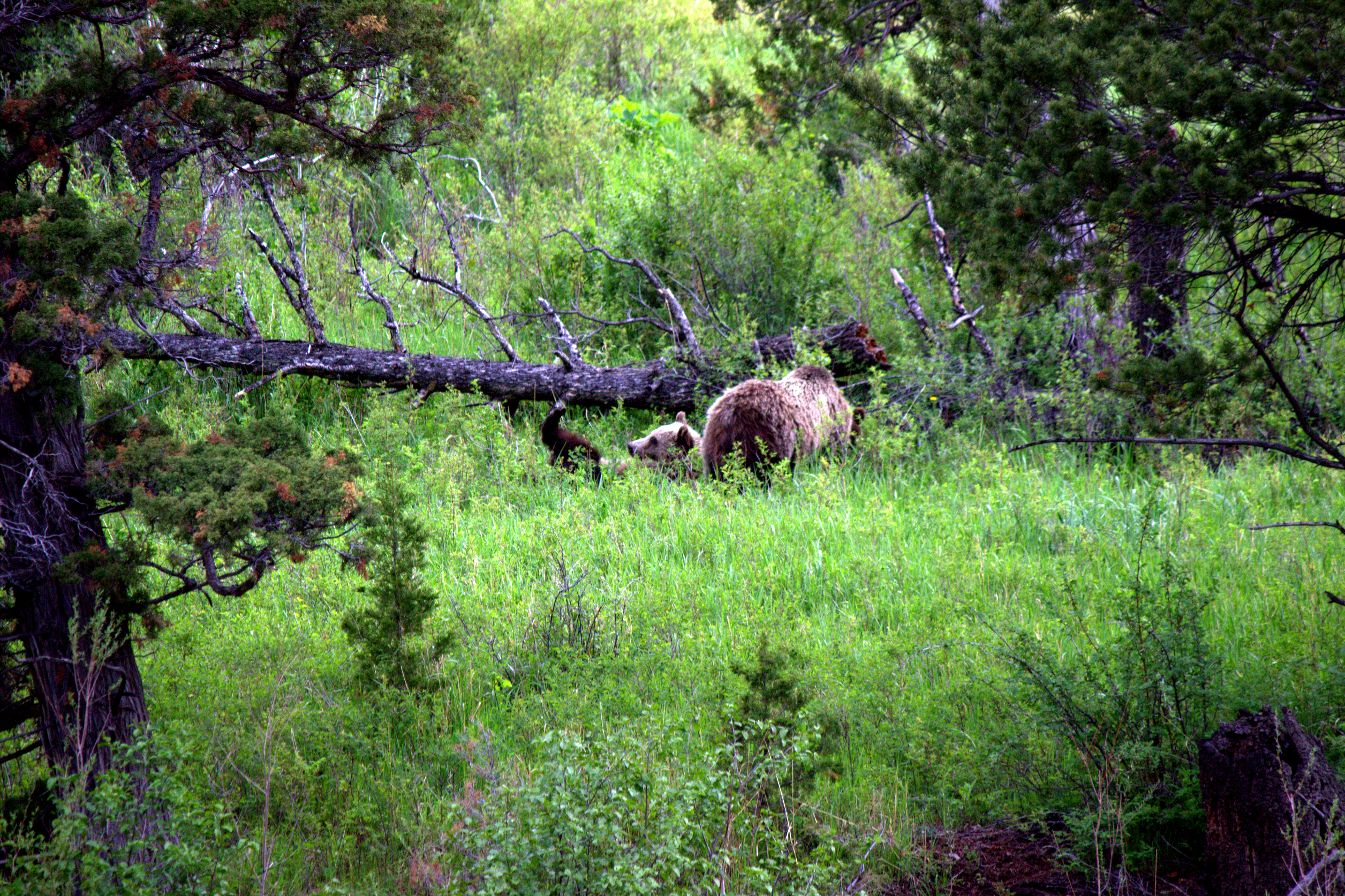
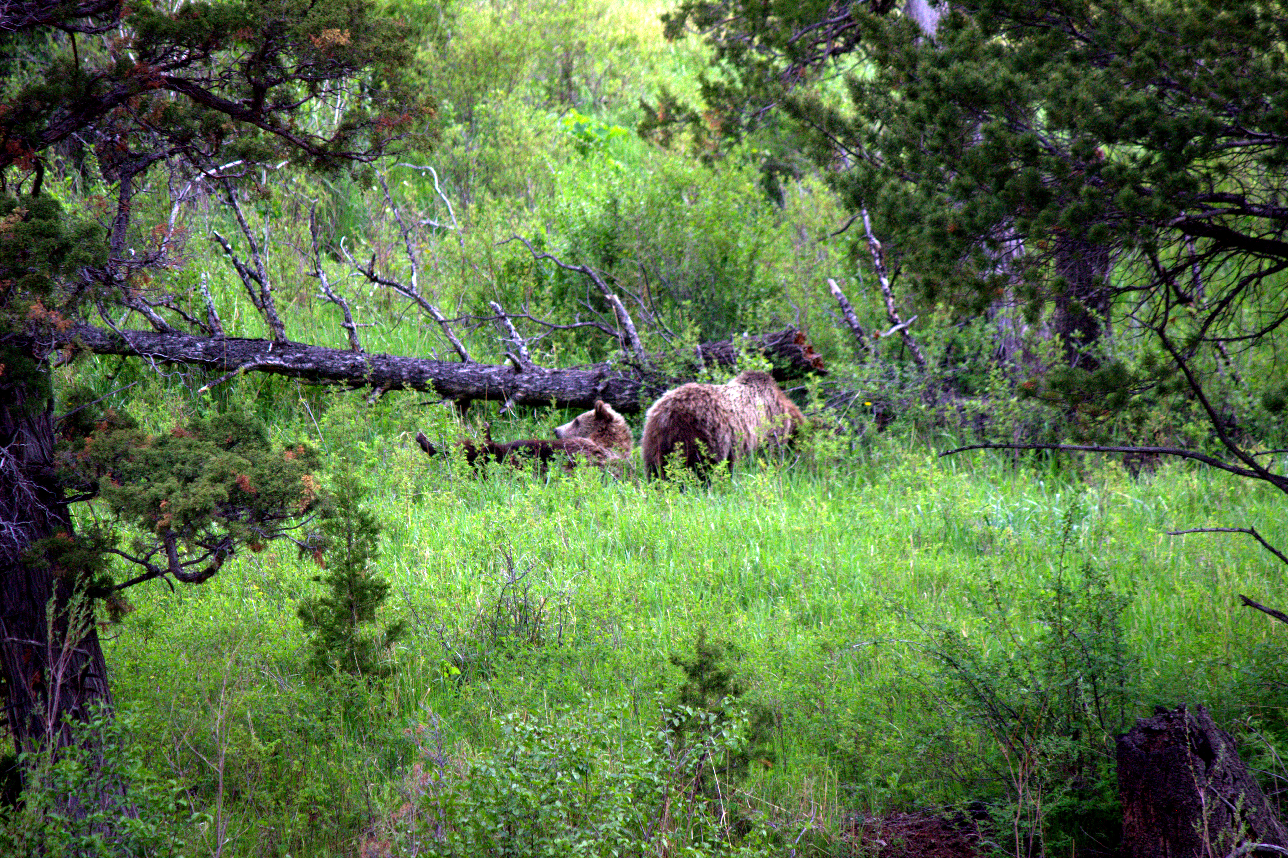
Feeding Grizzly
North Fork Shoshone River
Ranger Station Pasture

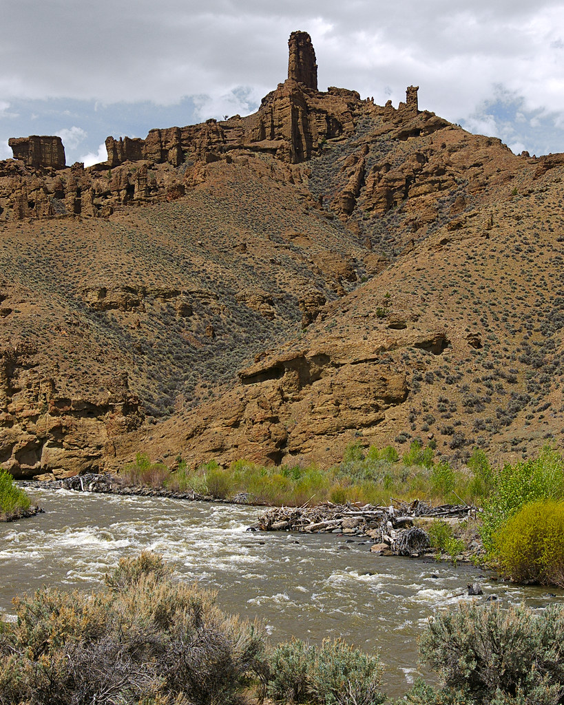
A Storm Over The Holy City

Mountain View Lodge - Cody WY

Last of the Old West
20150908-4G8A4424.jpg
...and damn cold riding too
Buffalo Bill Reservoir (US)
IMG_1101.CR2
IMG_1105.CR2
IMG_1106.CR2
IMG_1103.CR2
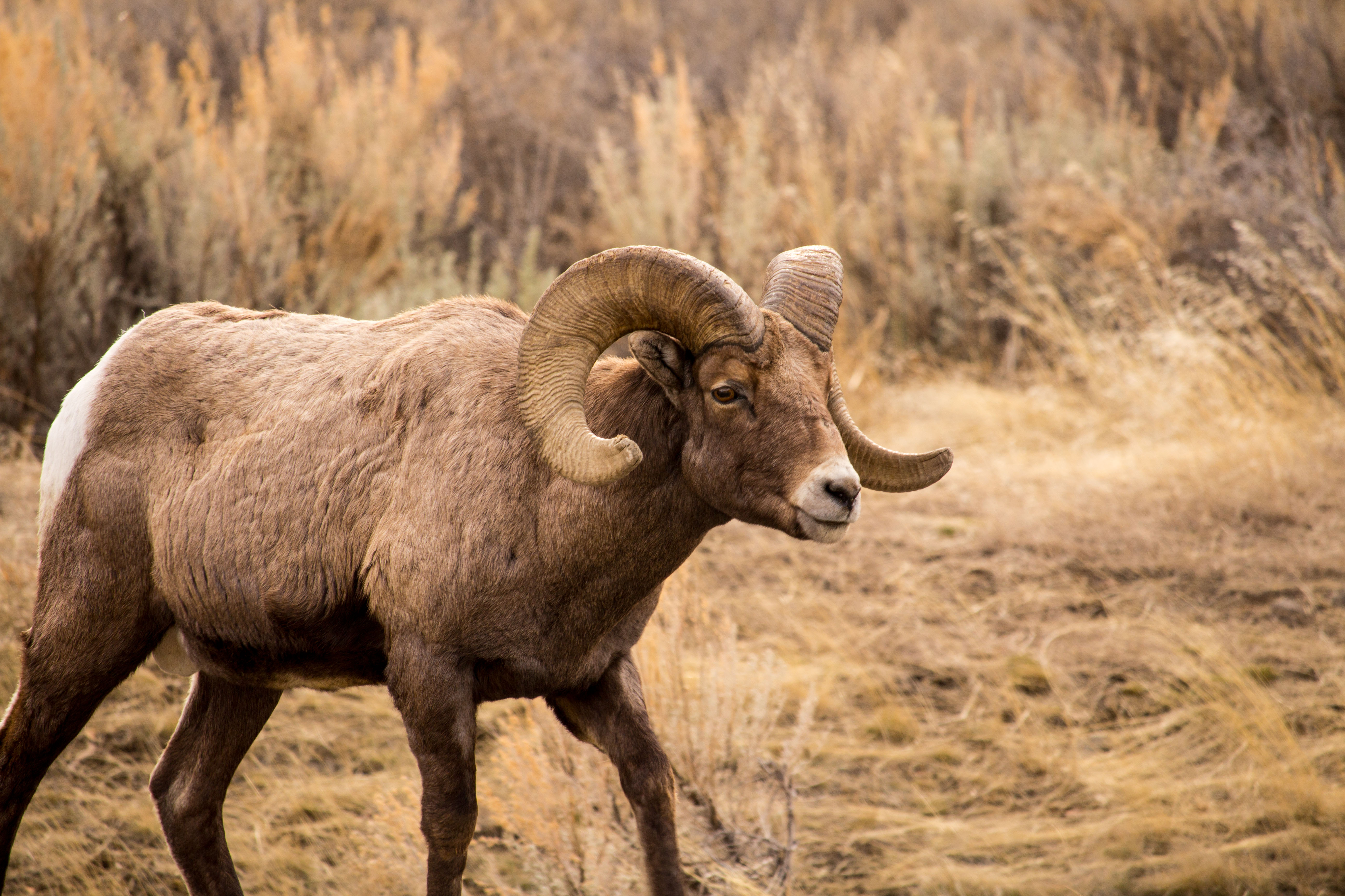
Big Horn
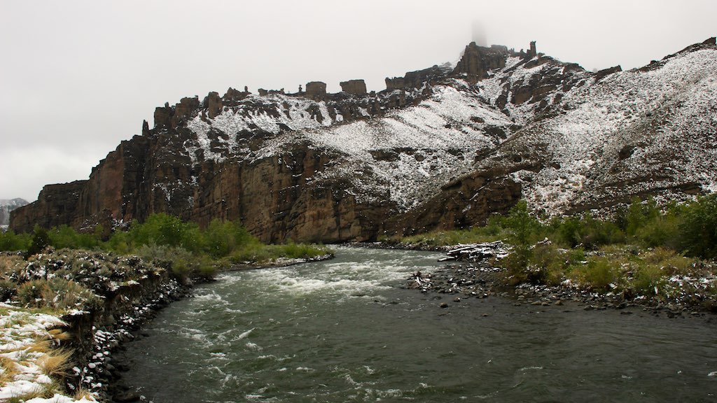
Holy City Rocks North Fork of Shoshone River

2014-10-28T18_07_26
アメリカ合衆国 〒 ワイオミング州 ザ・ウォールの地図
別の場所を検索
近所の場所
81 Rd 6Cu, Cody, WY アメリカ合衆国
24 Rd 6Cu, Cody, WY アメリカ合衆国
26 Talon Dr, Cody, WY アメリカ合衆国
59 Green Creek Rd, Cody, WY アメリカ合衆国
アメリカ合衆国 ワイオミング州 パーク
29 Pack Saddle Trail, Cody, WY アメリカ合衆国
アメリカ合衆国 ワイオミング州 ワピティ
N Fork Hwy, Cody, WY アメリカ合衆国
86 N Wapiti Estates Drives, Cody, WY アメリカ合衆国
Sunlight Rd, Cody, WY アメリカ合衆国
85 The Way West Rd, Cody, WY アメリカ合衆国
Chief Joseph Hwy, Cody, WY アメリカ合衆国デッド・インディアン・サミット・オーバールック
1 Streamside Dr, Wapiti, WY アメリカ合衆国
Stagecoach Trail, Cody, WY アメリカ合衆国
Rd 6Eh, Cody, WY アメリカ合衆国T E Ranch
Southfork Rd, Cody, WY アメリカ合衆国
Bear Tooth Pass Hwy, Cody, WY アメリカ合衆国Bear Tooth Pass Highway
Beartooth Hwy, アメリカ合衆国ベアートゥース・ハイウェイ
アメリカ合衆国 〒 ワイオミング州 ソウトゥース山
N Fork Hwy, Cody, WY アメリカ合衆国バッファロー・ビル州立公園
最近の検索
- Lampiasi St, Sarasota, FL, USA日の出日の入り時間
- 日本、〒- 富山県富山市窪本町12−31 APAガーデンコート稲荷日の出日の入り時間
- 台湾 宜蘭県 大同郷Jialuohu日の出日の入り時間
- 日本、〒- 愛媛県今治市関前大下大下港日の出日の入り時間
- 日本、〒- 愛媛県今治市関前大下1930−1大下港フェリー乗り場日の出日の入り時間
- San Telmo, Buenos Aires, Argentina日の出日の入り時間
- Congressional Dr, Stevensville, MD アメリカ合衆国日の出日の入り時間
- ギリシャ 〒 04 パピンゴ日の出日の入り時間
- Kranto 7-oji g. 8"N, Kaunas, リトアニアPagonija rock日の出日の入り時間
- Co Rd 87, Jamestown, CO, USA日の出日の入り時間