アメリカ合衆国 〒 オレゴン州 スーザン・クリーク滝日の出日の入り時間
Location: アメリカ合衆国 > オレゴン州 > アメリカ合衆国 〒 オレゴン州 グライド アイドレイルド・パーク >
時間帯:
America/Los_Angeles
現地時間:
2024-04-27 10:41:54
経度:
-122.8928357
緯度:
43.3317857
今日の日の出時刻:
06:07:13 AM
今日の日の入時刻:
08:10:37 PM
今日の日長:
14h 3m 24s
明日の日の出時刻:
06:05:48 AM
明日の日の入時刻:
08:11:47 PM
明日の日長:
14h 5m 59s
すべて表示する
| 日付 | 日出 | 日没 | 日長 |
|---|---|---|---|
| 2024年01月01日 | 07:43:56 AM | 04:46:58 PM | 9h 3m 2s |
| 2024年01月02日 | 07:43:57 AM | 04:47:52 PM | 9h 3m 55s |
| 2024年01月03日 | 07:43:56 AM | 04:48:48 PM | 9h 4m 52s |
| 2024年01月04日 | 07:43:52 AM | 04:49:46 PM | 9h 5m 54s |
| 2024年01月05日 | 07:43:46 AM | 04:50:46 PM | 9h 7m 0s |
| 2024年01月06日 | 07:43:37 AM | 04:51:47 PM | 9h 8m 10s |
| 2024年01月07日 | 07:43:26 AM | 04:52:49 PM | 9h 9m 23s |
| 2024年01月08日 | 07:43:12 AM | 04:53:53 PM | 9h 10m 41s |
| 2024年01月09日 | 07:42:56 AM | 04:54:58 PM | 9h 12m 2s |
| 2024年01月10日 | 07:42:38 AM | 04:56:05 PM | 9h 13m 27s |
| 2024年01月11日 | 07:42:17 AM | 04:57:13 PM | 9h 14m 56s |
| 2024年01月12日 | 07:41:53 AM | 04:58:22 PM | 9h 16m 29s |
| 2024年01月13日 | 07:41:28 AM | 04:59:32 PM | 9h 18m 4s |
| 2024年01月14日 | 07:41:00 AM | 05:00:43 PM | 9h 19m 43s |
| 2024年01月15日 | 07:40:29 AM | 05:01:55 PM | 9h 21m 26s |
| 2024年01月16日 | 07:39:56 AM | 05:03:08 PM | 9h 23m 12s |
| 2024年01月17日 | 07:39:22 AM | 05:04:22 PM | 9h 25m 0s |
| 2024年01月18日 | 07:38:44 AM | 05:05:37 PM | 9h 26m 53s |
| 2024年01月19日 | 07:38:05 AM | 05:06:53 PM | 9h 28m 48s |
| 2024年01月20日 | 07:37:23 AM | 05:08:09 PM | 9h 30m 46s |
| 2024年01月21日 | 07:36:39 AM | 05:09:26 PM | 9h 32m 47s |
| 2024年01月22日 | 07:35:53 AM | 05:10:43 PM | 9h 34m 50s |
| 2024年01月23日 | 07:35:05 AM | 05:12:01 PM | 9h 36m 56s |
| 2024年01月24日 | 07:34:15 AM | 05:13:20 PM | 9h 39m 5s |
| 2024年01月25日 | 07:33:23 AM | 05:14:39 PM | 9h 41m 16s |
| 2024年01月26日 | 07:32:29 AM | 05:15:58 PM | 9h 43m 29s |
| 2024年01月27日 | 07:31:33 AM | 05:17:18 PM | 9h 45m 45s |
| 2024年01月28日 | 07:30:35 AM | 05:18:38 PM | 9h 48m 3s |
| 2024年01月29日 | 07:29:35 AM | 05:19:59 PM | 9h 50m 24s |
| 2024年01月30日 | 07:28:33 AM | 05:21:19 PM | 9h 52m 46s |
| 2024年01月31日 | 07:27:29 AM | 05:22:40 PM | 9h 55m 11s |
| 2024年02月01日 | 07:26:24 AM | 05:24:01 PM | 9h 57m 37s |
| 2024年02月02日 | 07:25:17 AM | 05:25:22 PM | 10h 0m 5s |
| 2024年02月03日 | 07:24:08 AM | 05:26:43 PM | 10h 2m 35s |
| 2024年02月04日 | 07:22:57 AM | 05:28:04 PM | 10h 5m 7s |
| 2024年02月05日 | 07:21:45 AM | 05:29:25 PM | 10h 7m 40s |
| 2024年02月06日 | 07:20:31 AM | 05:30:46 PM | 10h 10m 15s |
| 2024年02月07日 | 07:19:16 AM | 05:32:07 PM | 10h 12m 51s |
| 2024年02月08日 | 07:17:59 AM | 05:33:28 PM | 10h 15m 29s |
| 2024年02月09日 | 07:16:41 AM | 05:34:49 PM | 10h 18m 8s |
| 2024年02月10日 | 07:15:21 AM | 05:36:10 PM | 10h 20m 49s |
| 2024年02月11日 | 07:14:00 AM | 05:37:31 PM | 10h 23m 31s |
| 2024年02月12日 | 07:12:38 AM | 05:38:51 PM | 10h 26m 13s |
| 2024年02月13日 | 07:11:14 AM | 05:40:11 PM | 10h 28m 57s |
| 2024年02月14日 | 07:09:49 AM | 05:41:31 PM | 10h 31m 42s |
| 2024年02月15日 | 07:08:23 AM | 05:42:51 PM | 10h 34m 28s |
| 2024年02月16日 | 07:06:56 AM | 05:44:11 PM | 10h 37m 15s |
| 2024年02月17日 | 07:05:27 AM | 05:45:30 PM | 10h 40m 3s |
| 2024年02月18日 | 07:03:57 AM | 05:46:50 PM | 10h 42m 53s |
| 2024年02月19日 | 07:02:27 AM | 05:48:08 PM | 10h 45m 41s |
| 2024年02月20日 | 07:00:55 AM | 05:49:27 PM | 10h 48m 32s |
| 2024年02月21日 | 06:59:22 AM | 05:50:45 PM | 10h 51m 23s |
| 2024年02月22日 | 06:57:48 AM | 05:52:04 PM | 10h 54m 16s |
| 2024年02月23日 | 06:56:13 AM | 05:53:21 PM | 10h 57m 8s |
| 2024年02月24日 | 06:54:38 AM | 05:54:39 PM | 11h 0m 1s |
| 2024年02月25日 | 06:53:01 AM | 05:55:56 PM | 11h 2m 55s |
| 2024年02月26日 | 06:51:24 AM | 05:57:13 PM | 11h 5m 49s |
| 2024年02月27日 | 06:49:45 AM | 05:58:30 PM | 11h 8m 45s |
| 2024年02月28日 | 06:48:06 AM | 05:59:46 PM | 11h 11m 40s |
| 2024年02月29日 | 06:46:27 AM | 06:01:02 PM | 11h 14m 35s |
| 2024年03月01日 | 06:44:46 AM | 06:02:18 PM | 11h 17m 32s |
| 2024年03月02日 | 06:43:05 AM | 06:03:33 PM | 11h 20m 28s |
| 2024年03月03日 | 06:41:24 AM | 06:04:49 PM | 11h 23m 25s |
| 2024年03月04日 | 06:39:42 AM | 06:06:04 PM | 11h 26m 22s |
| 2024年03月05日 | 06:37:59 AM | 06:07:18 PM | 11h 29m 19s |
| 2024年03月06日 | 06:36:15 AM | 06:08:33 PM | 11h 32m 18s |
| 2024年03月07日 | 06:34:32 AM | 06:09:47 PM | 11h 35m 15s |
| 2024年03月08日 | 06:32:47 AM | 06:11:01 PM | 11h 38m 14s |
| 2024年03月09日 | 06:31:03 AM | 06:12:15 PM | 11h 41m 12s |
| 2024年03月10日 | 07:29:22 AM | 07:13:25 PM | 11h 44m 3s |
| 2024年03月11日 | 07:27:37 AM | 07:14:38 PM | 11h 47m 1s |
| 2024年03月12日 | 07:25:51 AM | 07:15:51 PM | 11h 50m 0s |
| 2024年03月13日 | 07:24:05 AM | 07:17:04 PM | 11h 52m 59s |
| 2024年03月14日 | 07:22:18 AM | 07:18:17 PM | 11h 55m 59s |
| 2024年03月15日 | 07:20:32 AM | 07:19:29 PM | 11h 58m 57s |
| 2024年03月16日 | 07:18:45 AM | 07:20:41 PM | 12h 1m 56s |
| 2024年03月17日 | 07:16:58 AM | 07:21:53 PM | 12h 4m 55s |
| 2024年03月18日 | 07:15:11 AM | 07:23:05 PM | 12h 7m 54s |
| 2024年03月19日 | 07:13:24 AM | 07:24:17 PM | 12h 10m 53s |
| 2024年03月20日 | 07:11:36 AM | 07:25:28 PM | 12h 13m 52s |
| 2024年03月21日 | 07:09:49 AM | 07:26:40 PM | 12h 16m 51s |
| 2024年03月22日 | 07:08:02 AM | 07:27:51 PM | 12h 19m 49s |
| 2024年03月23日 | 07:06:14 AM | 07:29:02 PM | 12h 22m 48s |
| 2024年03月24日 | 07:04:27 AM | 07:30:14 PM | 12h 25m 47s |
| 2024年03月25日 | 07:02:40 AM | 07:31:25 PM | 12h 28m 45s |
| 2024年03月26日 | 07:00:53 AM | 07:32:35 PM | 12h 31m 42s |
| 2024年03月27日 | 06:59:06 AM | 07:33:46 PM | 12h 34m 40s |
| 2024年03月28日 | 06:57:19 AM | 07:34:57 PM | 12h 37m 38s |
| 2024年03月29日 | 06:55:32 AM | 07:36:08 PM | 12h 40m 36s |
| 2024年03月30日 | 06:53:46 AM | 07:37:19 PM | 12h 43m 33s |
| 2024年03月31日 | 06:51:59 AM | 07:38:29 PM | 12h 46m 30s |
| 2024年04月01日 | 06:50:14 AM | 07:39:40 PM | 12h 49m 26s |
| 2024年04月02日 | 06:48:28 AM | 07:40:50 PM | 12h 52m 22s |
| 2024年04月03日 | 06:46:43 AM | 07:42:01 PM | 12h 55m 18s |
| 2024年04月04日 | 06:44:58 AM | 07:43:11 PM | 12h 58m 13s |
| 2024年04月05日 | 06:43:13 AM | 07:44:22 PM | 13h 1m 9s |
| 2024年04月06日 | 06:41:30 AM | 07:45:32 PM | 13h 4m 2s |
| 2024年04月07日 | 06:39:46 AM | 07:46:43 PM | 13h 6m 57s |
| 2024年04月08日 | 06:38:03 AM | 07:47:53 PM | 13h 9m 50s |
| 2024年04月09日 | 06:36:21 AM | 07:49:04 PM | 13h 12m 43s |
| 2024年04月10日 | 06:34:39 AM | 07:50:14 PM | 13h 15m 35s |
| 2024年04月11日 | 06:32:57 AM | 07:51:25 PM | 13h 18m 28s |
| 2024年04月12日 | 06:31:17 AM | 07:52:35 PM | 13h 21m 18s |
| 2024年04月13日 | 06:29:37 AM | 07:53:46 PM | 13h 24m 9s |
| 2024年04月14日 | 06:27:57 AM | 07:54:57 PM | 13h 27m 0s |
| 2024年04月15日 | 06:26:19 AM | 07:56:07 PM | 13h 29m 48s |
| 2024年04月16日 | 06:24:41 AM | 07:57:18 PM | 13h 32m 37s |
| 2024年04月17日 | 06:23:04 AM | 07:58:28 PM | 13h 35m 24s |
| 2024年04月18日 | 06:21:28 AM | 07:59:39 PM | 13h 38m 11s |
| 2024年04月19日 | 06:19:53 AM | 08:00:49 PM | 13h 40m 56s |
| 2024年04月20日 | 06:18:18 AM | 08:02:00 PM | 13h 43m 42s |
| 2024年04月21日 | 06:16:45 AM | 08:03:10 PM | 13h 46m 25s |
| 2024年04月22日 | 06:15:12 AM | 08:04:20 PM | 13h 49m 8s |
| 2024年04月23日 | 06:13:41 AM | 08:05:31 PM | 13h 51m 50s |
| 2024年04月24日 | 06:12:10 AM | 08:06:41 PM | 13h 54m 31s |
| 2024年04月25日 | 06:10:41 AM | 08:07:51 PM | 13h 57m 10s |
| 2024年04月26日 | 06:09:13 AM | 08:09:01 PM | 13h 59m 48s |
| 2024年04月27日 | 06:07:46 AM | 08:10:11 PM | 14h 2m 25s |
| 2024年04月28日 | 06:06:20 AM | 08:11:21 PM | 14h 5m 1s |
| 2024年04月29日 | 06:04:55 AM | 08:12:31 PM | 14h 7m 36s |
| 2024年04月30日 | 06:03:31 AM | 08:13:40 PM | 14h 10m 9s |
| 2024年05月01日 | 06:02:09 AM | 08:14:49 PM | 14h 12m 40s |
| 2024年05月02日 | 06:00:48 AM | 08:15:59 PM | 14h 15m 11s |
| 2024年05月03日 | 05:59:28 AM | 08:17:07 PM | 14h 17m 39s |
| 2024年05月04日 | 05:58:10 AM | 08:18:16 PM | 14h 20m 6s |
| 2024年05月05日 | 05:56:53 AM | 08:19:24 PM | 14h 22m 31s |
| 2024年05月06日 | 05:55:38 AM | 08:20:32 PM | 14h 24m 54s |
| 2024年05月07日 | 05:54:24 AM | 08:21:40 PM | 14h 27m 16s |
| 2024年05月08日 | 05:53:12 AM | 08:22:47 PM | 14h 29m 35s |
| 2024年05月09日 | 05:52:01 AM | 08:23:54 PM | 14h 31m 53s |
| 2024年05月10日 | 05:50:52 AM | 08:25:01 PM | 14h 34m 9s |
| 2024年05月11日 | 05:49:44 AM | 08:26:07 PM | 14h 36m 23s |
| 2024年05月12日 | 05:48:38 AM | 08:27:12 PM | 14h 38m 34s |
| 2024年05月13日 | 05:47:34 AM | 08:28:17 PM | 14h 40m 43s |
| 2024年05月14日 | 05:46:31 AM | 08:29:22 PM | 14h 42m 51s |
| 2024年05月15日 | 05:45:30 AM | 08:30:25 PM | 14h 44m 55s |
| 2024年05月16日 | 05:44:31 AM | 08:31:28 PM | 14h 46m 57s |
| 2024年05月17日 | 05:43:34 AM | 08:32:31 PM | 14h 48m 57s |
| 2024年05月18日 | 05:42:38 AM | 08:33:32 PM | 14h 50m 54s |
| 2024年05月19日 | 05:41:45 AM | 08:34:33 PM | 14h 52m 48s |
| 2024年05月20日 | 05:40:53 AM | 08:35:33 PM | 14h 54m 40s |
| 2024年05月21日 | 05:40:03 AM | 08:36:33 PM | 14h 56m 30s |
| 2024年05月22日 | 05:39:15 AM | 08:37:31 PM | 14h 58m 16s |
| 2024年05月23日 | 05:38:29 AM | 08:38:28 PM | 14h 59m 59s |
| 2024年05月24日 | 05:37:46 AM | 08:39:25 PM | 15h 1m 39s |
| 2024年05月25日 | 05:37:04 AM | 08:40:20 PM | 15h 3m 16s |
| 2024年05月26日 | 05:36:24 AM | 08:41:14 PM | 15h 4m 50s |
| 2024年05月27日 | 05:35:46 AM | 08:42:07 PM | 15h 6m 21s |
| 2024年05月28日 | 05:35:10 AM | 08:42:59 PM | 15h 7m 49s |
| 2024年05月29日 | 05:34:37 AM | 08:43:49 PM | 15h 9m 12s |
| 2024年05月30日 | 05:34:05 AM | 08:44:39 PM | 15h 10m 34s |
| 2024年05月31日 | 05:33:36 AM | 08:45:27 PM | 15h 11m 51s |
| 2024年06月01日 | 05:33:09 AM | 08:46:13 PM | 15h 13m 4s |
| 2024年06月02日 | 05:32:44 AM | 08:46:59 PM | 15h 14m 15s |
| 2024年06月03日 | 05:32:21 AM | 08:47:42 PM | 15h 15m 21s |
| 2024年06月04日 | 05:32:00 AM | 08:48:24 PM | 15h 16m 24s |
| 2024年06月05日 | 05:31:41 AM | 08:49:05 PM | 15h 17m 24s |
| 2024年06月06日 | 05:31:25 AM | 08:49:44 PM | 15h 18m 19s |
| 2024年06月07日 | 05:31:11 AM | 08:50:21 PM | 15h 19m 10s |
| 2024年06月08日 | 05:30:59 AM | 08:50:57 PM | 15h 19m 58s |
| 2024年06月09日 | 05:30:49 AM | 08:51:31 PM | 15h 20m 42s |
| 2024年06月10日 | 05:30:42 AM | 08:52:03 PM | 15h 21m 21s |
| 2024年06月11日 | 05:30:36 AM | 08:52:34 PM | 15h 21m 58s |
| 2024年06月12日 | 05:30:33 AM | 08:53:02 PM | 15h 22m 29s |
| 2024年06月13日 | 05:30:32 AM | 08:53:29 PM | 15h 22m 57s |
| 2024年06月14日 | 05:30:33 AM | 08:53:53 PM | 15h 23m 20s |
| 2024年06月15日 | 05:30:36 AM | 08:54:16 PM | 15h 23m 40s |
| 2024年06月16日 | 05:30:41 AM | 08:54:37 PM | 15h 23m 56s |
| 2024年06月17日 | 05:30:49 AM | 08:54:55 PM | 15h 24m 6s |
| 2024年06月18日 | 05:30:58 AM | 08:55:12 PM | 15h 24m 14s |
| 2024年06月19日 | 05:31:10 AM | 08:55:27 PM | 15h 24m 17s |
| 2024年06月20日 | 05:31:23 AM | 08:55:39 PM | 15h 24m 16s |
| 2024年06月21日 | 05:31:39 AM | 08:55:49 PM | 15h 24m 10s |
| 2024年06月22日 | 05:31:57 AM | 08:55:58 PM | 15h 24m 1s |
| 2024年06月23日 | 05:32:16 AM | 08:56:04 PM | 15h 23m 48s |
| 2024年06月24日 | 05:32:38 AM | 08:56:08 PM | 15h 23m 30s |
| 2024年06月25日 | 05:33:01 AM | 08:56:09 PM | 15h 23m 8s |
| 2024年06月26日 | 05:33:27 AM | 08:56:09 PM | 15h 22m 42s |
| 2024年06月27日 | 05:33:54 AM | 08:56:06 PM | 15h 22m 12s |
| 2024年06月28日 | 05:34:23 AM | 08:56:01 PM | 15h 21m 38s |
| 2024年06月29日 | 05:34:53 AM | 08:55:54 PM | 15h 21m 1s |
| 2024年06月30日 | 05:35:26 AM | 08:55:45 PM | 15h 20m 19s |
| 2024年07月01日 | 05:36:00 AM | 08:55:33 PM | 15h 19m 33s |
| 2024年07月02日 | 05:36:35 AM | 08:55:19 PM | 15h 18m 44s |
| 2024年07月03日 | 05:37:13 AM | 08:55:03 PM | 15h 17m 50s |
| 2024年07月04日 | 05:37:52 AM | 08:54:45 PM | 15h 16m 53s |
| 2024年07月05日 | 05:38:32 AM | 08:54:24 PM | 15h 15m 52s |
| 2024年07月06日 | 05:39:14 AM | 08:54:02 PM | 15h 14m 48s |
| 2024年07月07日 | 05:39:57 AM | 08:53:37 PM | 15h 13m 40s |
| 2024年07月08日 | 05:40:42 AM | 08:53:09 PM | 15h 12m 27s |
| 2024年07月09日 | 05:41:27 AM | 08:52:40 PM | 15h 11m 13s |
| 2024年07月10日 | 05:42:15 AM | 08:52:09 PM | 15h 9m 54s |
| 2024年07月11日 | 05:43:03 AM | 08:51:35 PM | 15h 8m 32s |
| 2024年07月12日 | 05:43:53 AM | 08:50:59 PM | 15h 7m 6s |
| 2024年07月13日 | 05:44:43 AM | 08:50:21 PM | 15h 5m 38s |
| 2024年07月14日 | 05:45:35 AM | 08:49:41 PM | 15h 4m 6s |
| 2024年07月15日 | 05:46:28 AM | 08:48:59 PM | 15h 2m 31s |
| 2024年07月16日 | 05:47:22 AM | 08:48:15 PM | 15h 0m 53s |
| 2024年07月17日 | 05:48:17 AM | 08:47:29 PM | 14h 59m 12s |
| 2024年07月18日 | 05:49:12 AM | 08:46:41 PM | 14h 57m 29s |
| 2024年07月19日 | 05:50:09 AM | 08:45:51 PM | 14h 55m 42s |
| 2024年07月20日 | 05:51:06 AM | 08:44:59 PM | 14h 53m 53s |
| 2024年07月21日 | 05:52:04 AM | 08:44:05 PM | 14h 52m 1s |
| 2024年07月22日 | 05:53:03 AM | 08:43:09 PM | 14h 50m 6s |
| 2024年07月23日 | 05:54:03 AM | 08:42:11 PM | 14h 48m 8s |
| 2024年07月24日 | 05:55:03 AM | 08:41:12 PM | 14h 46m 9s |
| 2024年07月25日 | 05:56:04 AM | 08:40:11 PM | 14h 44m 7s |
| 2024年07月26日 | 05:57:05 AM | 08:39:08 PM | 14h 42m 3s |
| 2024年07月27日 | 05:58:07 AM | 08:38:03 PM | 14h 39m 56s |
| 2024年07月28日 | 05:59:09 AM | 08:36:56 PM | 14h 37m 47s |
| 2024年07月29日 | 06:00:12 AM | 08:35:48 PM | 14h 35m 36s |
| 2024年07月30日 | 06:01:15 AM | 08:34:38 PM | 14h 33m 23s |
| 2024年07月31日 | 06:02:19 AM | 08:33:27 PM | 14h 31m 8s |
| 2024年08月01日 | 06:03:23 AM | 08:32:14 PM | 14h 28m 51s |
| 2024年08月02日 | 06:04:27 AM | 08:30:59 PM | 14h 26m 32s |
| 2024年08月03日 | 06:05:32 AM | 08:29:43 PM | 14h 24m 11s |
| 2024年08月04日 | 06:06:37 AM | 08:28:26 PM | 14h 21m 49s |
| 2024年08月05日 | 06:07:42 AM | 08:27:07 PM | 14h 19m 25s |
| 2024年08月06日 | 06:08:47 AM | 08:25:46 PM | 14h 16m 59s |
| 2024年08月07日 | 06:09:53 AM | 08:24:25 PM | 14h 14m 32s |
| 2024年08月08日 | 06:10:58 AM | 08:23:01 PM | 14h 12m 3s |
| 2024年08月09日 | 06:12:04 AM | 08:21:37 PM | 14h 9m 33s |
| 2024年08月10日 | 06:13:10 AM | 08:20:11 PM | 14h 7m 1s |
| 2024年08月11日 | 06:14:16 AM | 08:18:45 PM | 14h 4m 29s |
| 2024年08月12日 | 06:15:23 AM | 08:17:17 PM | 14h 1m 54s |
| 2024年08月13日 | 06:16:29 AM | 08:15:47 PM | 13h 59m 18s |
| 2024年08月14日 | 06:17:35 AM | 08:14:17 PM | 13h 56m 42s |
| 2024年08月15日 | 06:18:41 AM | 08:12:46 PM | 13h 54m 5s |
| 2024年08月16日 | 06:19:48 AM | 08:11:13 PM | 13h 51m 25s |
| 2024年08月17日 | 06:20:54 AM | 08:09:40 PM | 13h 48m 46s |
| 2024年08月18日 | 06:22:01 AM | 08:08:05 PM | 13h 46m 4s |
| 2024年08月19日 | 06:23:07 AM | 08:06:30 PM | 13h 43m 23s |
| 2024年08月20日 | 06:24:13 AM | 08:04:53 PM | 13h 40m 40s |
| 2024年08月21日 | 06:25:20 AM | 08:03:16 PM | 13h 37m 56s |
| 2024年08月22日 | 06:26:26 AM | 08:01:38 PM | 13h 35m 12s |
| 2024年08月23日 | 06:27:33 AM | 07:59:59 PM | 13h 32m 26s |
| 2024年08月24日 | 06:28:39 AM | 07:58:19 PM | 13h 29m 40s |
| 2024年08月25日 | 06:29:45 AM | 07:56:39 PM | 13h 26m 54s |
| 2024年08月26日 | 06:30:51 AM | 07:54:58 PM | 13h 24m 7s |
| 2024年08月27日 | 06:31:58 AM | 07:53:16 PM | 13h 21m 18s |
| 2024年08月28日 | 06:33:04 AM | 07:51:33 PM | 13h 18m 29s |
| 2024年08月29日 | 06:34:10 AM | 07:49:50 PM | 13h 15m 40s |
| 2024年08月30日 | 06:35:16 AM | 07:48:06 PM | 13h 12m 50s |
| 2024年08月31日 | 06:36:22 AM | 07:46:22 PM | 13h 10m 0s |
| 2024年09月01日 | 06:37:28 AM | 07:44:37 PM | 13h 7m 9s |
| 2024年09月02日 | 06:38:34 AM | 07:42:52 PM | 13h 4m 18s |
| 2024年09月03日 | 06:39:40 AM | 07:41:06 PM | 13h 1m 26s |
| 2024年09月04日 | 06:40:46 AM | 07:39:19 PM | 12h 58m 33s |
| 2024年09月05日 | 06:41:52 AM | 07:37:33 PM | 12h 55m 41s |
| 2024年09月06日 | 06:42:58 AM | 07:35:46 PM | 12h 52m 48s |
| 2024年09月07日 | 06:44:04 AM | 07:33:58 PM | 12h 49m 54s |
| 2024年09月08日 | 06:45:10 AM | 07:32:10 PM | 12h 47m 0s |
| 2024年09月09日 | 06:46:16 AM | 07:30:22 PM | 12h 44m 6s |
| 2024年09月10日 | 06:47:22 AM | 07:28:34 PM | 12h 41m 12s |
| 2024年09月11日 | 06:48:28 AM | 07:26:45 PM | 12h 38m 17s |
| 2024年09月12日 | 06:49:34 AM | 07:24:57 PM | 12h 35m 23s |
| 2024年09月13日 | 06:50:41 AM | 07:23:08 PM | 12h 32m 27s |
| 2024年09月14日 | 06:51:47 AM | 07:21:19 PM | 12h 29m 32s |
| 2024年09月15日 | 06:52:53 AM | 07:19:29 PM | 12h 26m 36s |
| 2024年09月16日 | 06:54:00 AM | 07:17:40 PM | 12h 23m 40s |
| 2024年09月17日 | 06:55:06 AM | 07:15:51 PM | 12h 20m 45s |
| 2024年09月18日 | 06:56:13 AM | 07:14:01 PM | 12h 17m 48s |
| 2024年09月19日 | 06:57:19 AM | 07:12:12 PM | 12h 14m 53s |
| 2024年09月20日 | 06:58:26 AM | 07:10:23 PM | 12h 11m 57s |
| 2024年09月21日 | 06:59:33 AM | 07:08:33 PM | 12h 9m 0s |
| 2024年09月22日 | 07:00:40 AM | 07:06:44 PM | 12h 6m 4s |
| 2024年09月23日 | 07:01:47 AM | 07:04:55 PM | 12h 3m 8s |
| 2024年09月24日 | 07:02:55 AM | 07:03:06 PM | 12h 0m 11s |
| 2024年09月25日 | 07:04:02 AM | 07:01:18 PM | 11h 57m 16s |
| 2024年09月26日 | 07:05:10 AM | 06:59:29 PM | 11h 54m 19s |
| 2024年09月27日 | 07:06:18 AM | 06:57:41 PM | 11h 51m 23s |
| 2024年09月28日 | 07:07:26 AM | 06:55:53 PM | 11h 48m 27s |
| 2024年09月29日 | 07:08:35 AM | 06:54:06 PM | 11h 45m 31s |
| 2024年09月30日 | 07:09:44 AM | 06:52:18 PM | 11h 42m 34s |
| 2024年10月01日 | 07:10:52 AM | 06:50:32 PM | 11h 39m 40s |
| 2024年10月02日 | 07:12:02 AM | 06:48:45 PM | 11h 36m 43s |
| 2024年10月03日 | 07:13:11 AM | 06:46:59 PM | 11h 33m 48s |
| 2024年10月04日 | 07:14:21 AM | 06:45:14 PM | 11h 30m 53s |
| 2024年10月05日 | 07:15:30 AM | 06:43:28 PM | 11h 27m 58s |
| 2024年10月06日 | 07:16:41 AM | 06:41:44 PM | 11h 25m 3s |
| 2024年10月07日 | 07:17:51 AM | 06:40:00 PM | 11h 22m 9s |
| 2024年10月08日 | 07:19:02 AM | 06:38:17 PM | 11h 19m 15s |
| 2024年10月09日 | 07:20:13 AM | 06:36:34 PM | 11h 16m 21s |
| 2024年10月10日 | 07:21:24 AM | 06:34:52 PM | 11h 13m 28s |
| 2024年10月11日 | 07:22:36 AM | 06:33:10 PM | 11h 10m 34s |
| 2024年10月12日 | 07:23:48 AM | 06:31:30 PM | 11h 7m 42s |
| 2024年10月13日 | 07:25:00 AM | 06:29:50 PM | 11h 4m 50s |
| 2024年10月14日 | 07:26:13 AM | 06:28:11 PM | 11h 1m 58s |
| 2024年10月15日 | 07:27:26 AM | 06:26:33 PM | 10h 59m 7s |
| 2024年10月16日 | 07:28:39 AM | 06:24:55 PM | 10h 56m 16s |
| 2024年10月17日 | 07:29:53 AM | 06:23:19 PM | 10h 53m 26s |
| 2024年10月18日 | 07:31:07 AM | 06:21:43 PM | 10h 50m 36s |
| 2024年10月19日 | 07:32:21 AM | 06:20:09 PM | 10h 47m 48s |
| 2024年10月20日 | 07:33:35 AM | 06:18:35 PM | 10h 45m 0s |
| 2024年10月21日 | 07:34:50 AM | 06:17:03 PM | 10h 42m 13s |
| 2024年10月22日 | 07:36:05 AM | 06:15:31 PM | 10h 39m 26s |
| 2024年10月23日 | 07:37:20 AM | 06:14:01 PM | 10h 36m 41s |
| 2024年10月24日 | 07:38:36 AM | 06:12:32 PM | 10h 33m 56s |
| 2024年10月25日 | 07:39:52 AM | 06:11:04 PM | 10h 31m 12s |
| 2024年10月26日 | 07:41:08 AM | 06:09:37 PM | 10h 28m 29s |
| 2024年10月27日 | 07:42:24 AM | 06:08:12 PM | 10h 25m 48s |
| 2024年10月28日 | 07:43:41 AM | 06:06:48 PM | 10h 23m 7s |
| 2024年10月29日 | 07:44:58 AM | 06:05:25 PM | 10h 20m 27s |
| 2024年10月30日 | 07:46:15 AM | 06:04:04 PM | 10h 17m 49s |
| 2024年10月31日 | 07:47:32 AM | 06:02:44 PM | 10h 15m 12s |
| 2024年11月01日 | 07:48:49 AM | 06:01:25 PM | 10h 12m 36s |
| 2024年11月02日 | 07:50:07 AM | 06:00:08 PM | 10h 10m 1s |
| 2024年11月03日 | 06:51:28 AM | 04:58:50 PM | 10h 7m 22s |
| 2024年11月04日 | 06:52:45 AM | 04:57:36 PM | 10h 4m 51s |
| 2024年11月05日 | 06:54:03 AM | 04:56:24 PM | 10h 2m 21s |
| 2024年11月06日 | 06:55:20 AM | 04:55:13 PM | 9h 59m 53s |
| 2024年11月07日 | 06:56:38 AM | 04:54:04 PM | 9h 57m 26s |
| 2024年11月08日 | 06:57:56 AM | 04:52:57 PM | 9h 55m 1s |
| 2024年11月09日 | 06:59:13 AM | 04:51:52 PM | 9h 52m 39s |
| 2024年11月10日 | 07:00:31 AM | 04:50:49 PM | 9h 50m 18s |
| 2024年11月11日 | 07:01:48 AM | 04:49:47 PM | 9h 47m 59s |
| 2024年11月12日 | 07:03:05 AM | 04:48:47 PM | 9h 45m 42s |
| 2024年11月13日 | 07:04:22 AM | 04:47:50 PM | 9h 43m 28s |
| 2024年11月14日 | 07:05:38 AM | 04:46:54 PM | 9h 41m 16s |
| 2024年11月15日 | 07:06:55 AM | 04:46:00 PM | 9h 39m 5s |
| 2024年11月16日 | 07:08:10 AM | 04:45:08 PM | 9h 36m 58s |
| 2024年11月17日 | 07:09:26 AM | 04:44:19 PM | 9h 34m 53s |
| 2024年11月18日 | 07:10:41 AM | 04:43:31 PM | 9h 32m 50s |
| 2024年11月19日 | 07:11:55 AM | 04:42:45 PM | 9h 30m 50s |
| 2024年11月20日 | 07:13:09 AM | 04:42:02 PM | 9h 28m 53s |
| 2024年11月21日 | 07:14:22 AM | 04:41:21 PM | 9h 26m 59s |
| 2024年11月22日 | 07:15:35 AM | 04:40:42 PM | 9h 25m 7s |
| 2024年11月23日 | 07:16:47 AM | 04:40:06 PM | 9h 23m 19s |
| 2024年11月24日 | 07:17:58 AM | 04:39:32 PM | 9h 21m 34s |
| 2024年11月25日 | 07:19:08 AM | 04:39:00 PM | 9h 19m 52s |
| 2024年11月26日 | 07:20:17 AM | 04:38:30 PM | 9h 18m 13s |
| 2024年11月27日 | 07:21:26 AM | 04:38:03 PM | 9h 16m 37s |
| 2024年11月28日 | 07:22:33 AM | 04:37:38 PM | 9h 15m 5s |
| 2024年11月29日 | 07:23:39 AM | 04:37:16 PM | 9h 13m 37s |
| 2024年11月30日 | 07:24:44 AM | 04:36:56 PM | 9h 12m 12s |
| 2024年12月01日 | 07:25:48 AM | 04:36:38 PM | 9h 10m 50s |
| 2024年12月02日 | 07:26:51 AM | 04:36:23 PM | 9h 9m 32s |
| 2024年12月03日 | 07:27:52 AM | 04:36:11 PM | 9h 8m 19s |
| 2024年12月04日 | 07:28:52 AM | 04:36:01 PM | 9h 7m 9s |
| 2024年12月05日 | 07:29:50 AM | 04:35:53 PM | 9h 6m 3s |
| 2024年12月06日 | 07:30:47 AM | 04:35:48 PM | 9h 5m 1s |
| 2024年12月07日 | 07:31:43 AM | 04:35:46 PM | 9h 4m 3s |
| 2024年12月08日 | 07:32:37 AM | 04:35:46 PM | 9h 3m 9s |
| 2024年12月09日 | 07:33:29 AM | 04:35:48 PM | 9h 2m 19s |
| 2024年12月10日 | 07:34:19 AM | 04:35:54 PM | 9h 1m 35s |
| 2024年12月11日 | 07:35:08 AM | 04:36:01 PM | 9h 0m 53s |
| 2024年12月12日 | 07:35:54 AM | 04:36:11 PM | 9h 0m 17s |
| 2024年12月13日 | 07:36:39 AM | 04:36:24 PM | 8h 59m 45s |
| 2024年12月14日 | 07:37:22 AM | 04:36:39 PM | 8h 59m 17s |
| 2024年12月15日 | 07:38:03 AM | 04:36:56 PM | 8h 58m 53s |
| 2024年12月16日 | 07:38:42 AM | 04:37:16 PM | 8h 58m 34s |
| 2024年12月17日 | 07:39:19 AM | 04:37:38 PM | 8h 58m 19s |
| 2024年12月18日 | 07:39:53 AM | 04:38:03 PM | 8h 58m 10s |
| 2024年12月19日 | 07:40:26 AM | 04:38:30 PM | 8h 58m 4s |
| 2024年12月20日 | 07:40:56 AM | 04:38:59 PM | 8h 58m 3s |
| 2024年12月21日 | 07:41:24 AM | 04:39:31 PM | 8h 58m 7s |
| 2024年12月22日 | 07:41:50 AM | 04:40:05 PM | 8h 58m 15s |
| 2024年12月23日 | 07:42:13 AM | 04:40:41 PM | 8h 58m 28s |
| 2024年12月24日 | 07:42:34 AM | 04:41:19 PM | 8h 58m 45s |
| 2024年12月25日 | 07:42:53 AM | 04:42:00 PM | 8h 59m 7s |
| 2024年12月26日 | 07:43:10 AM | 04:42:42 PM | 8h 59m 32s |
| 2024年12月27日 | 07:43:24 AM | 04:43:27 PM | 9h 0m 3s |
| 2024年12月28日 | 07:43:35 AM | 04:44:13 PM | 9h 0m 38s |
| 2024年12月29日 | 07:43:44 AM | 04:45:02 PM | 9h 1m 18s |
| 2024年12月30日 | 07:43:51 AM | 04:45:52 PM | 9h 2m 1s |
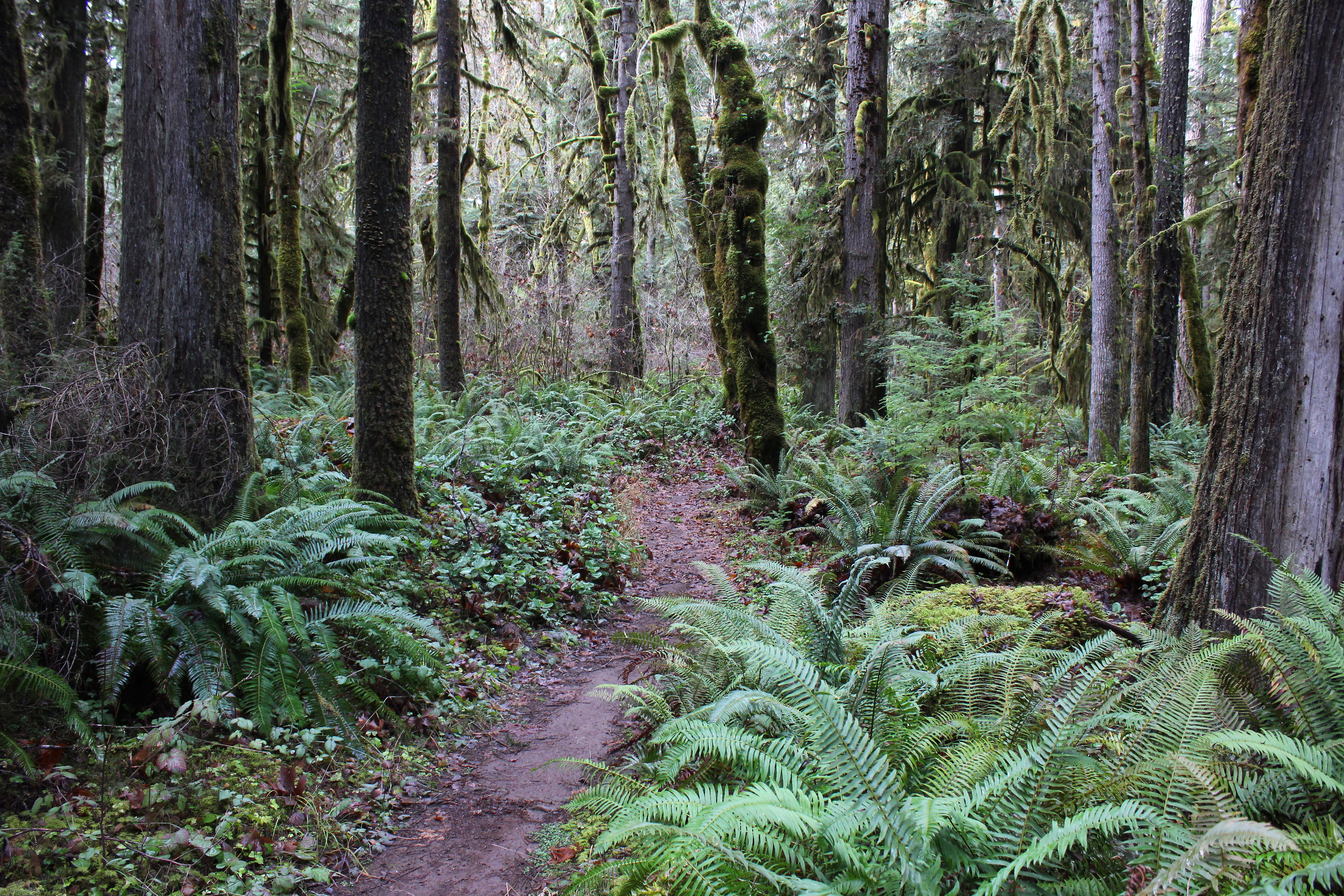
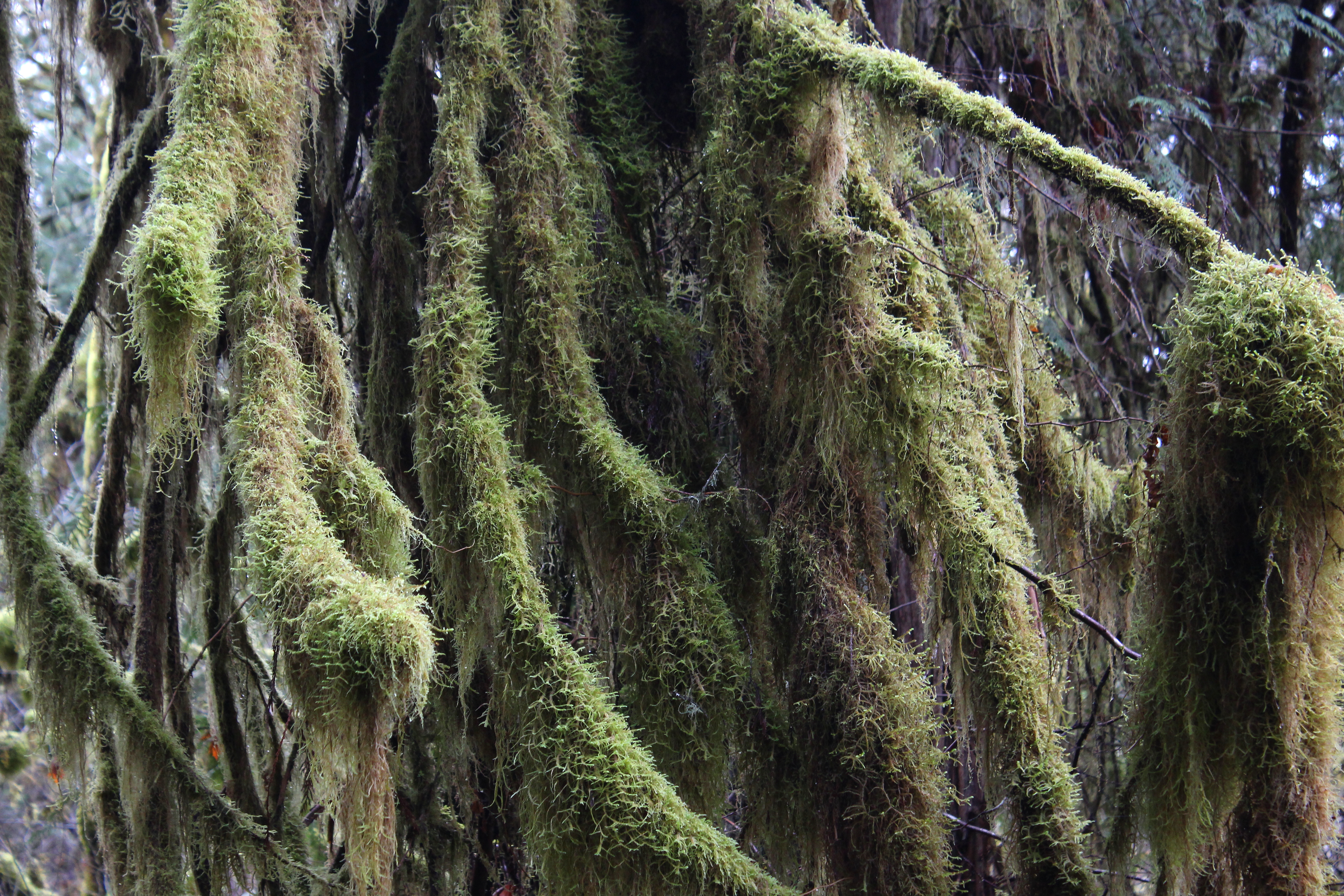
写真

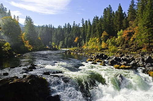
Water Rapids

Grotto Falls
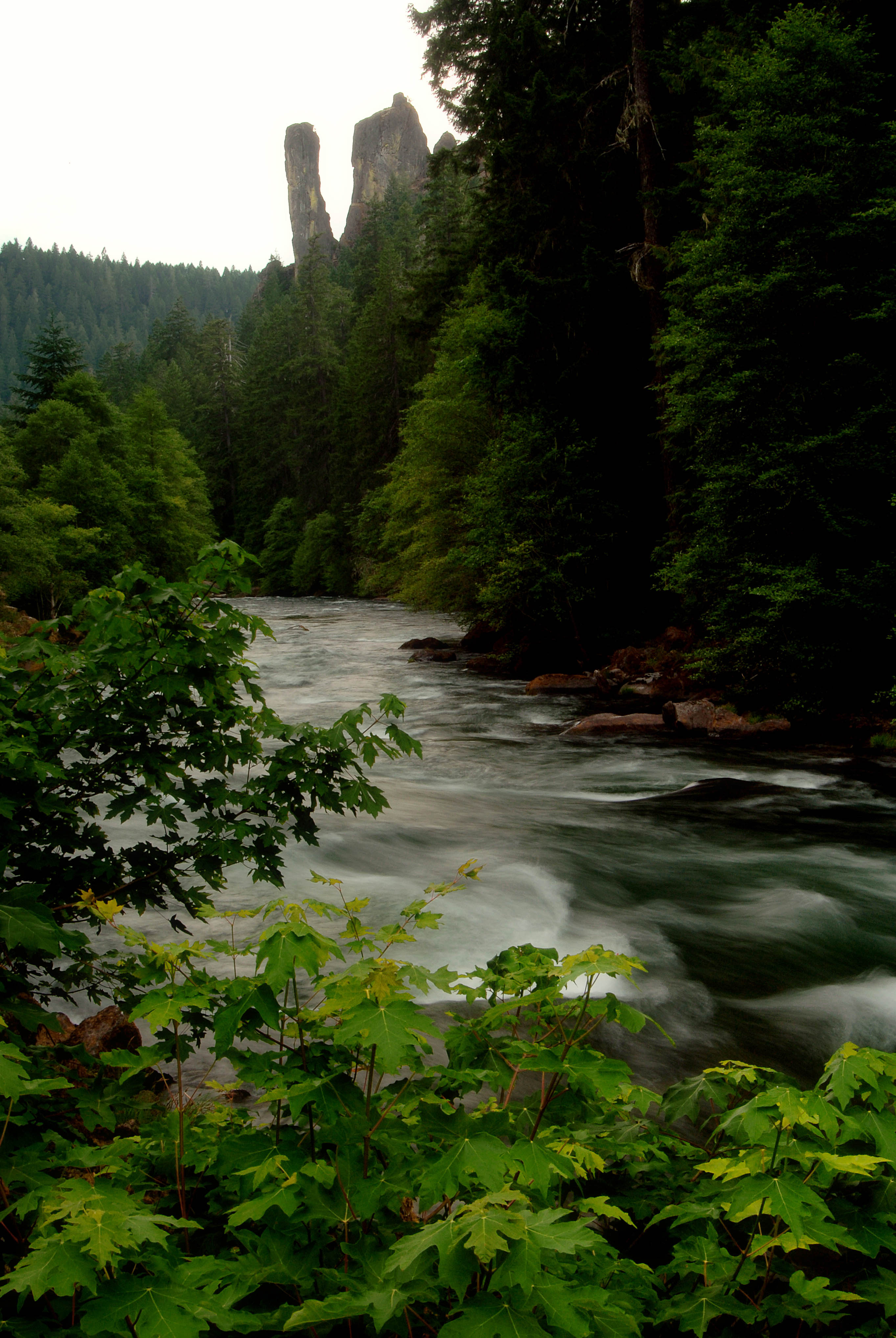
North Umpqua River and Rock Stacks-Umpqua
Deadline Falls a different view
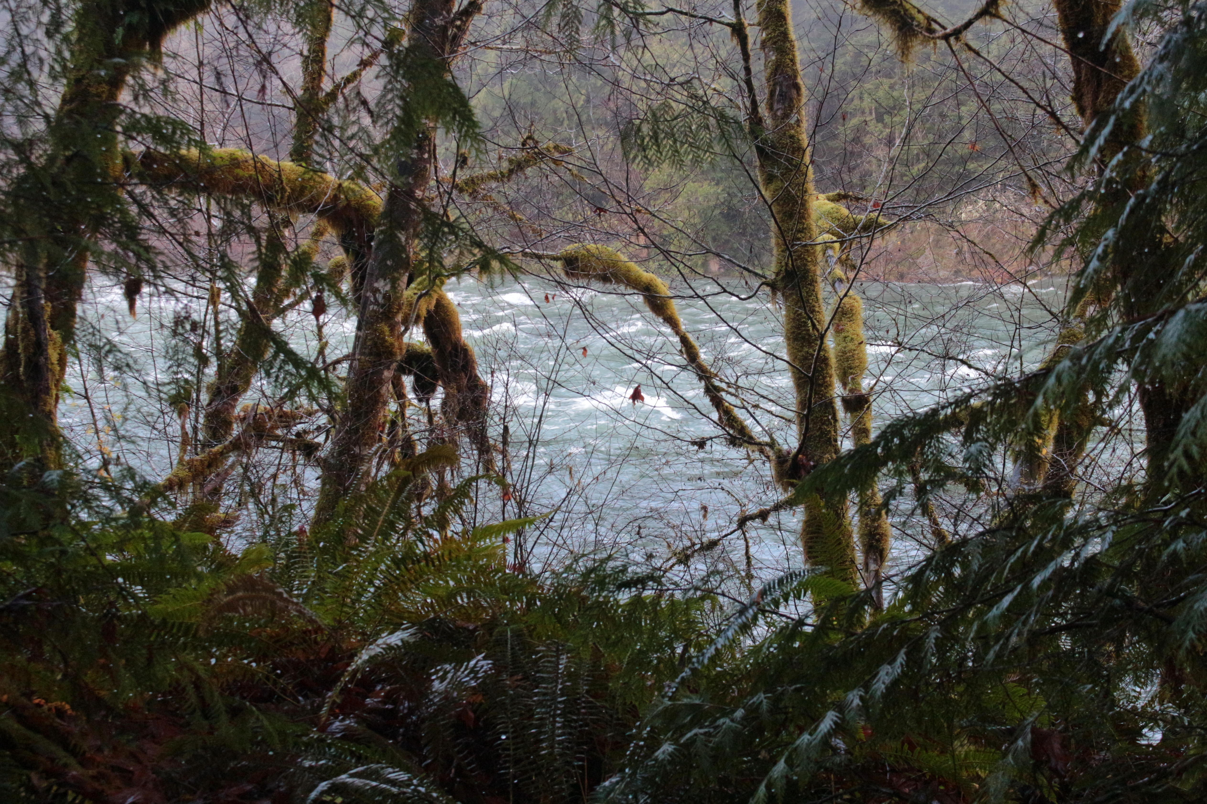
North Umpqua River in Oregon
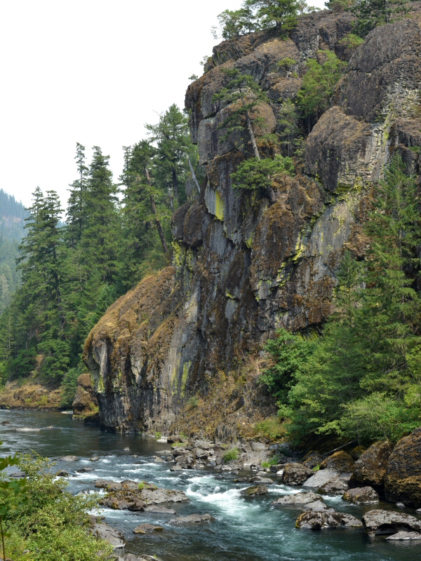
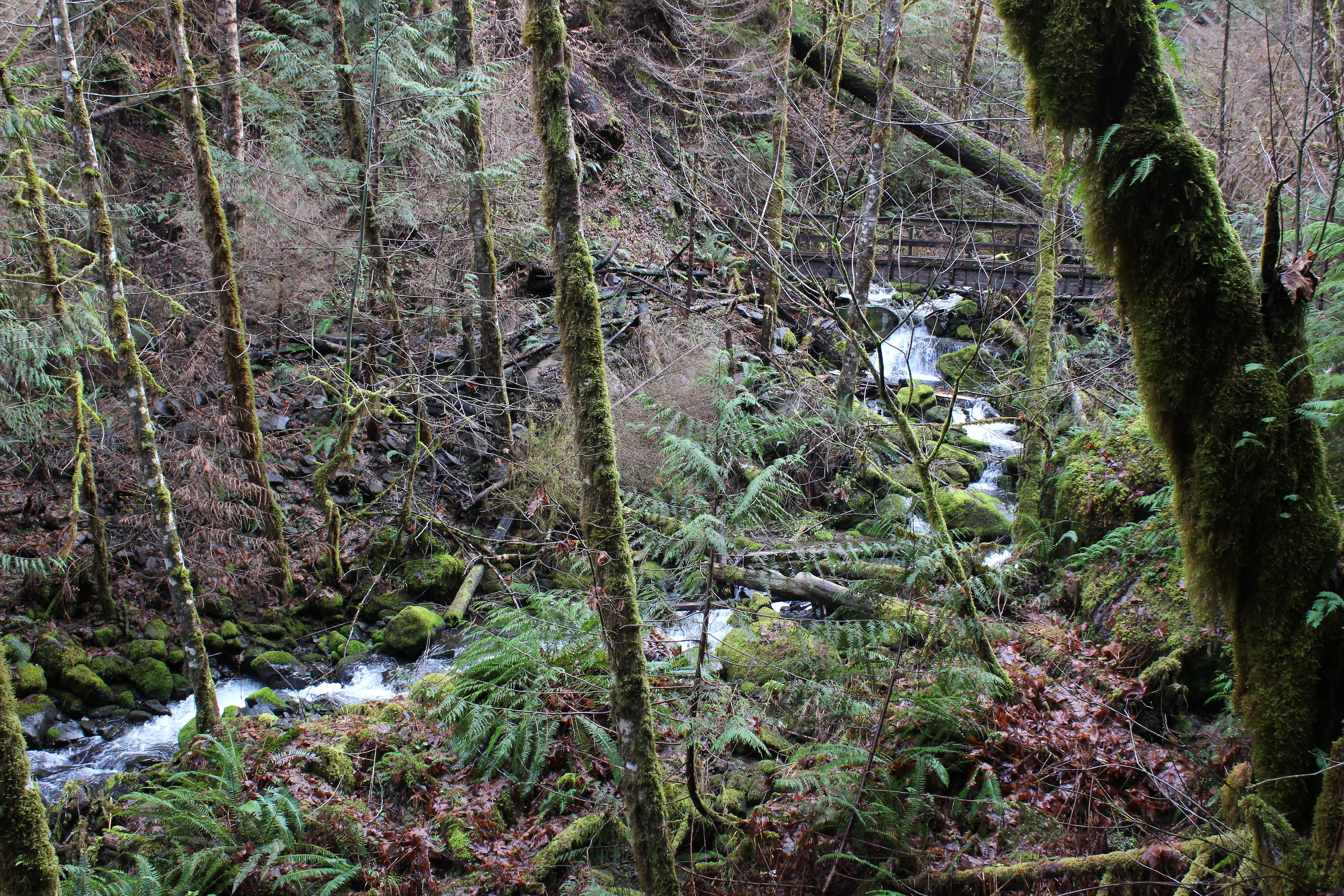
View down to the North Umpqua River
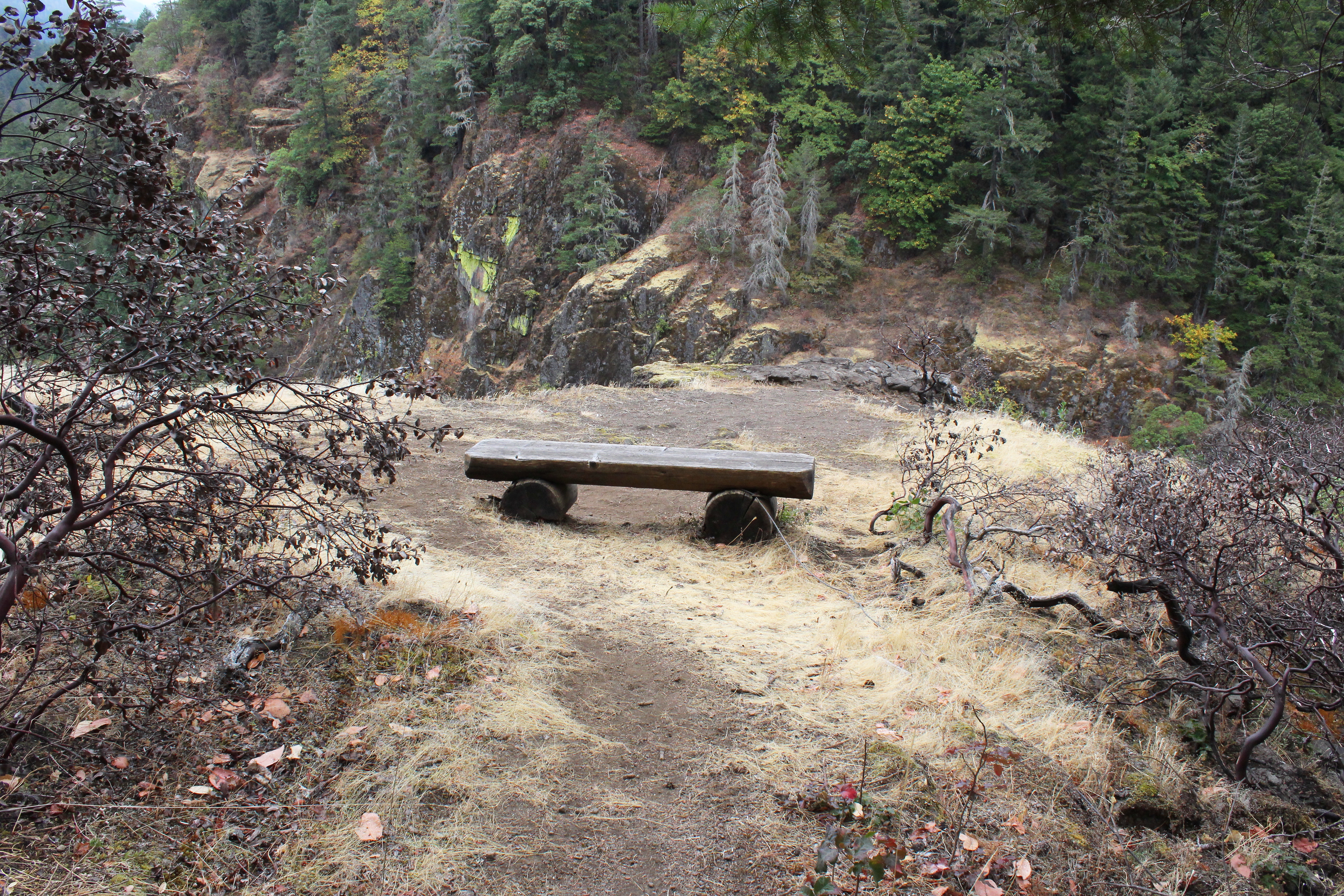
One of my favorite view points in all of Oregon
Partial view to the North Umpqua
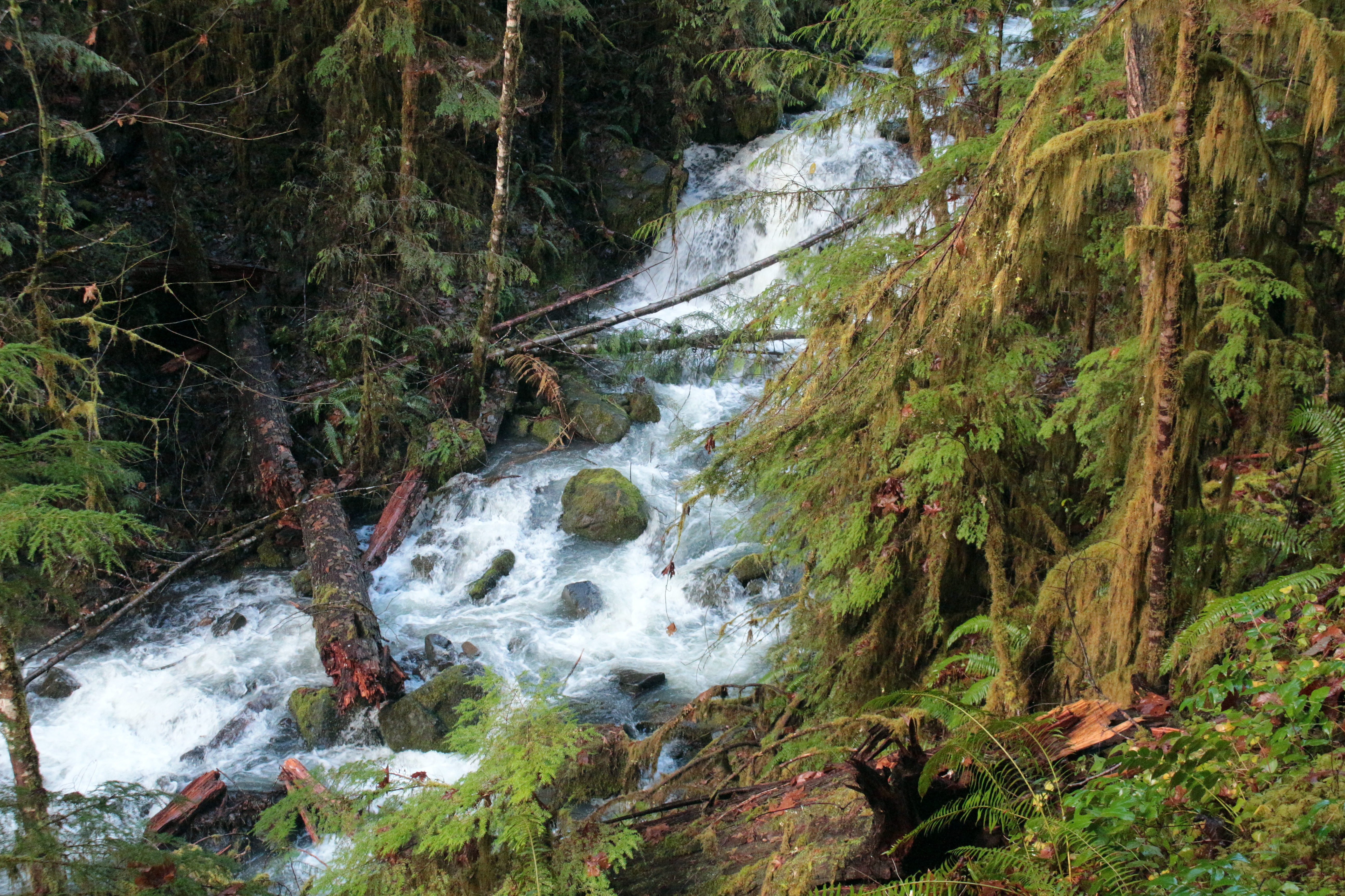
Fox Creek comes into view
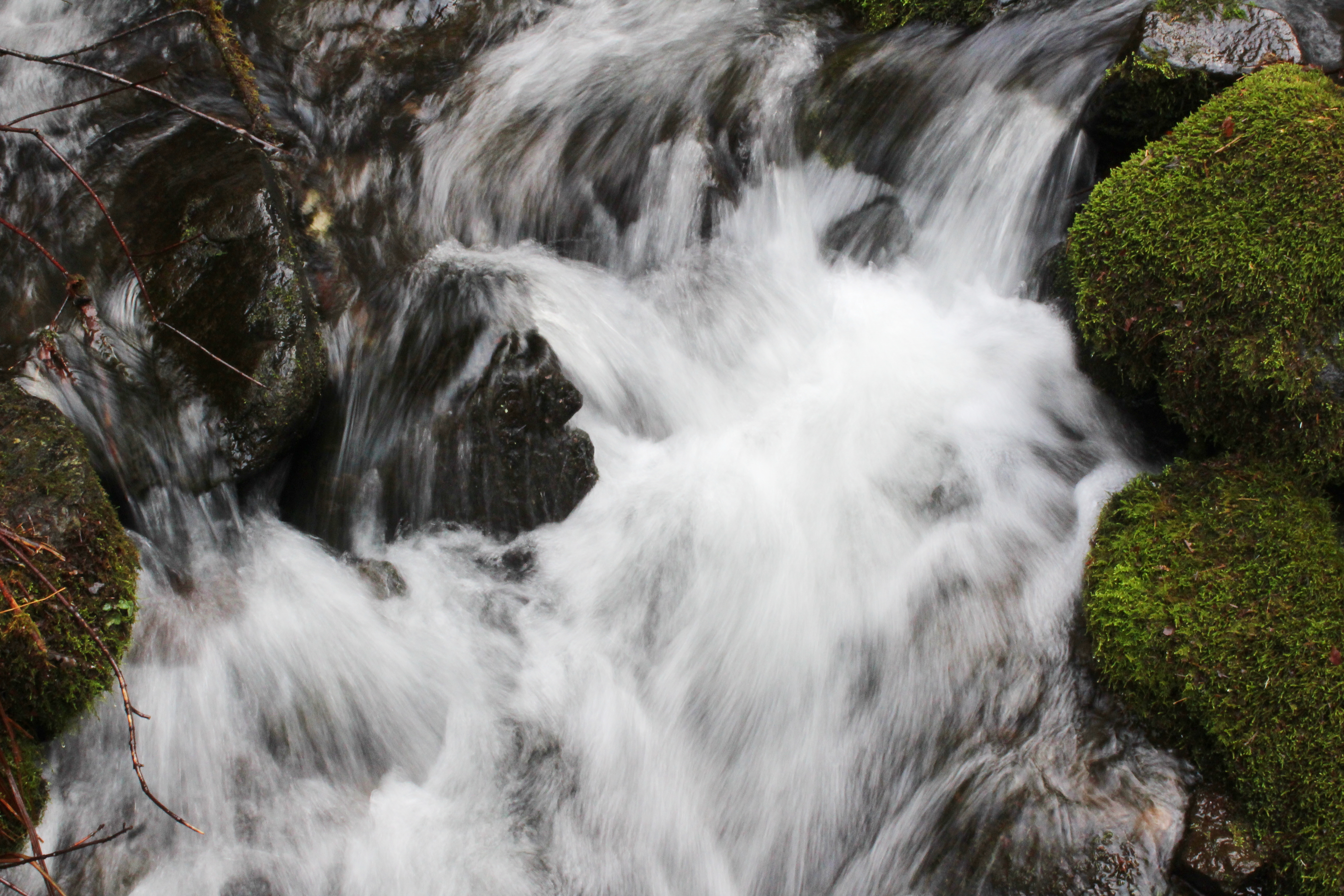
Fox Creek whitewater

We enjoyed lunch and photography at Fox Creek
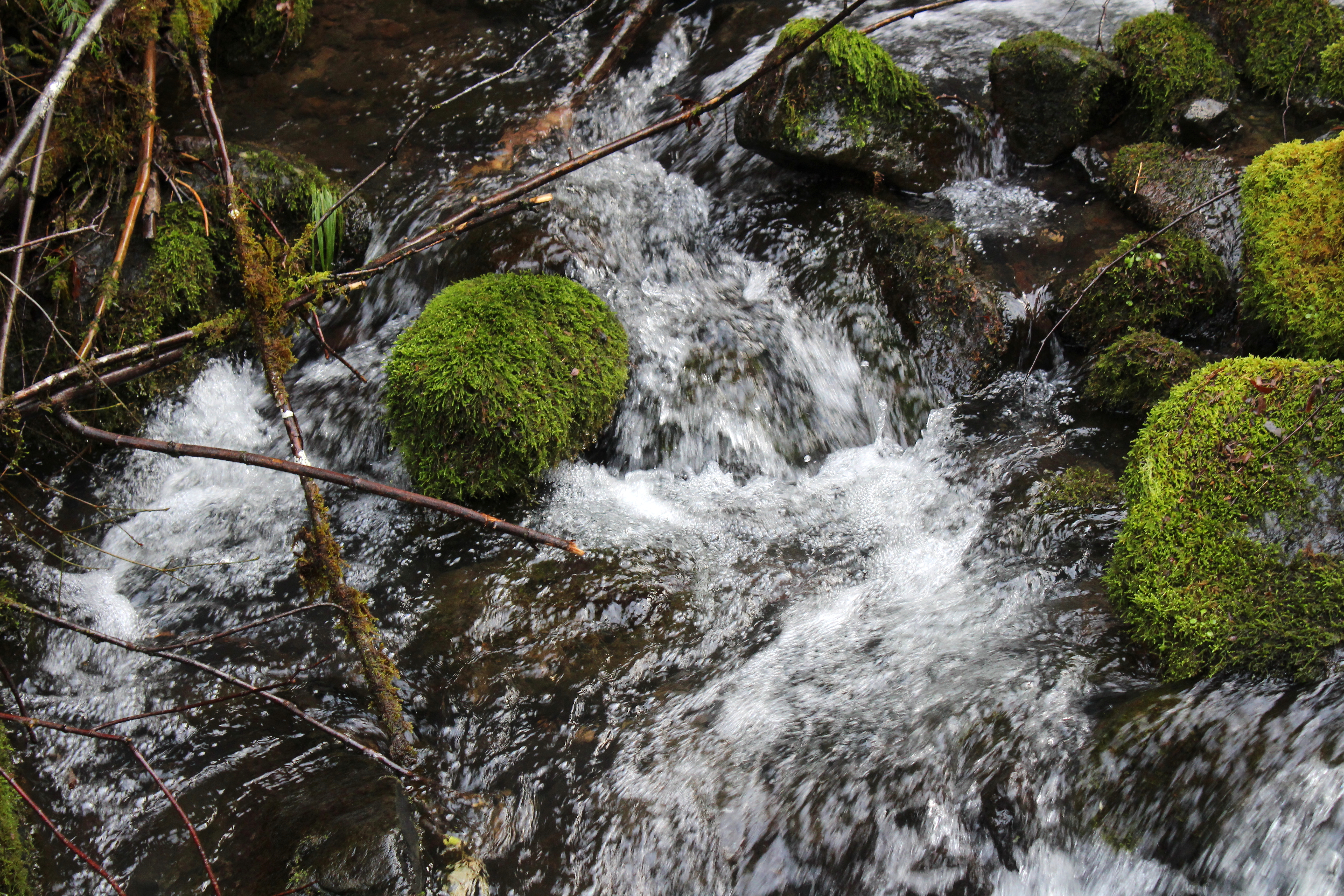
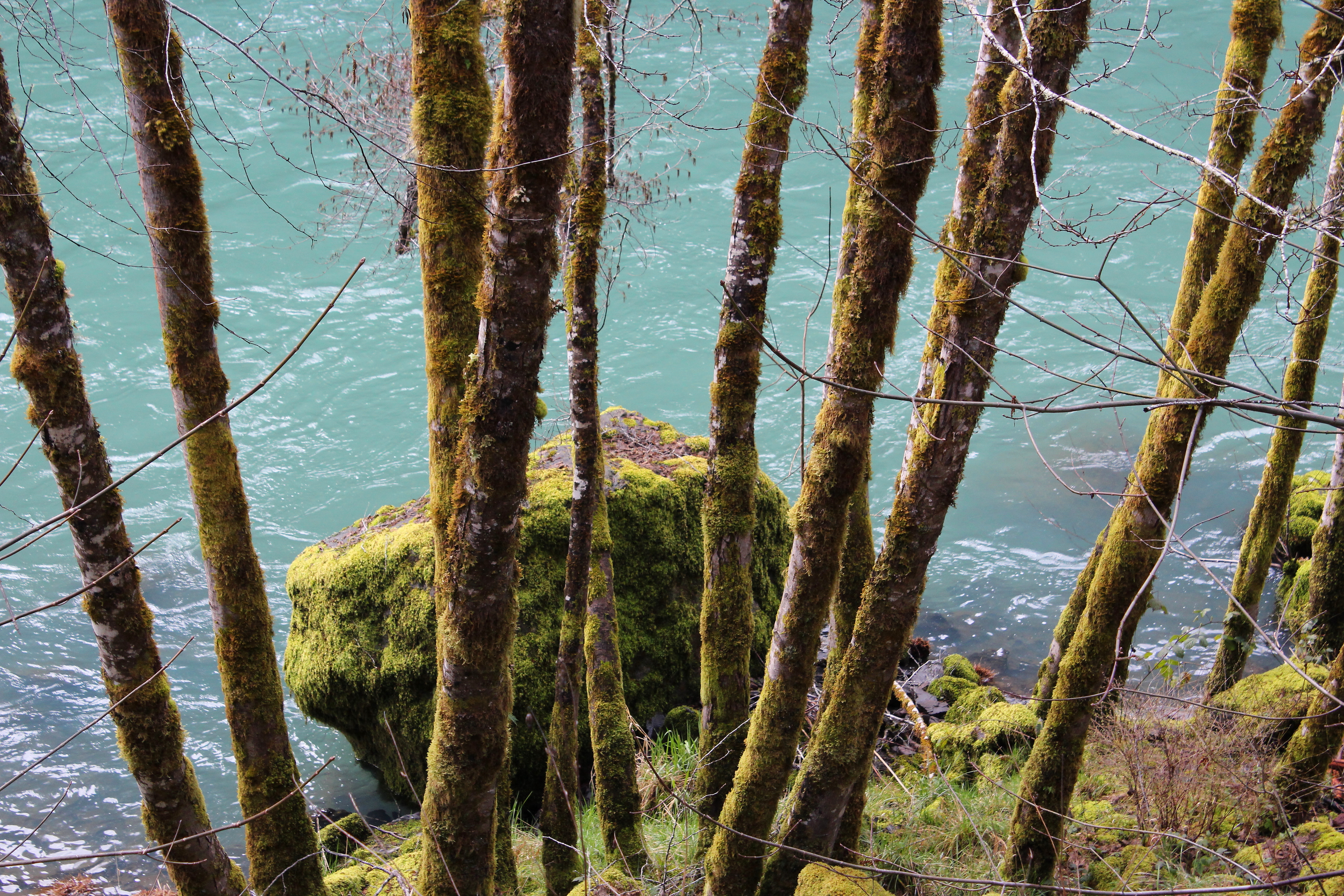
Still life with moss, rocks, and Fox Creek
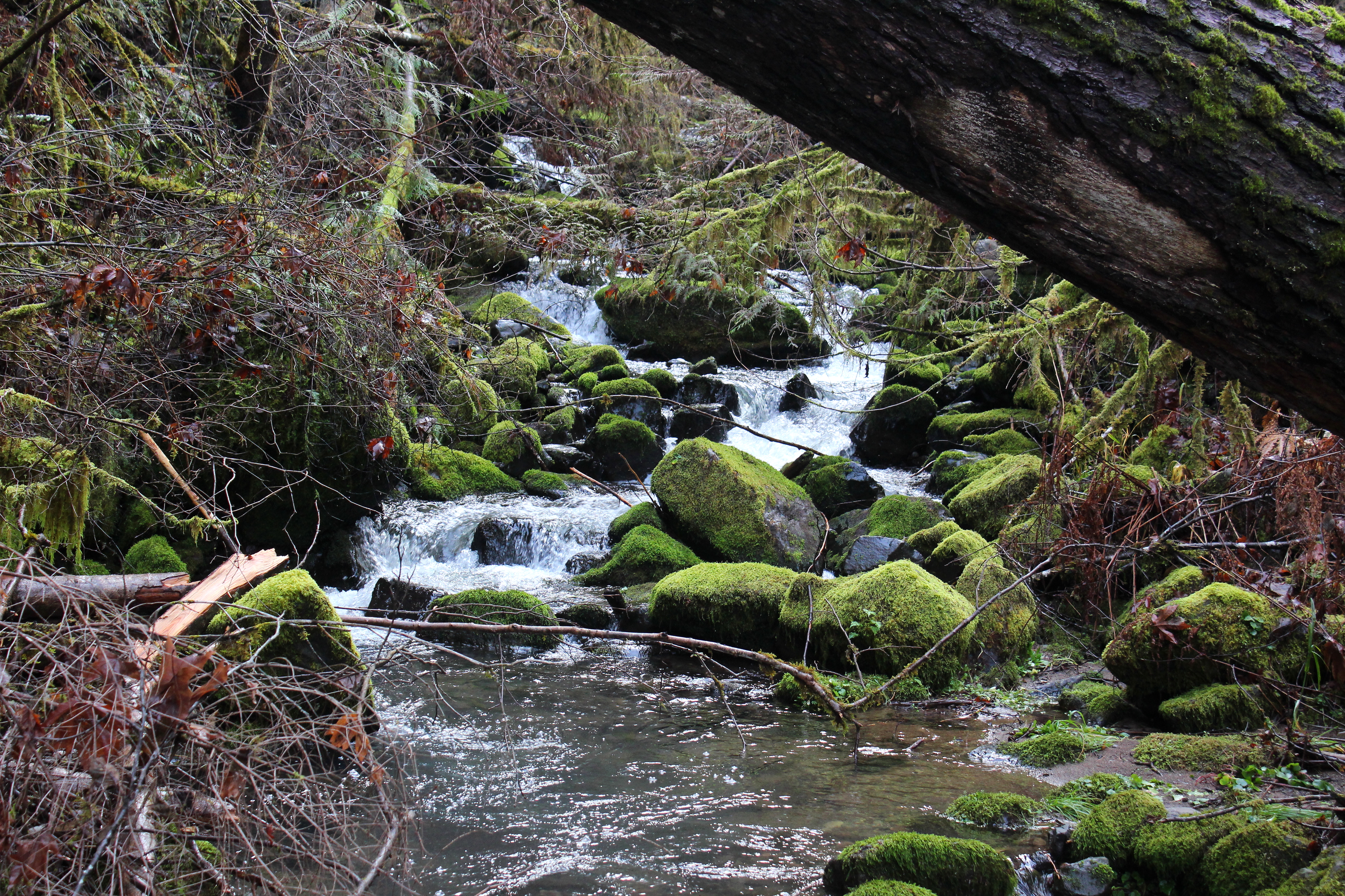
Fox Creek stair-steps down towards the North Umpqua River
Fox Creek, as we hiked away from it
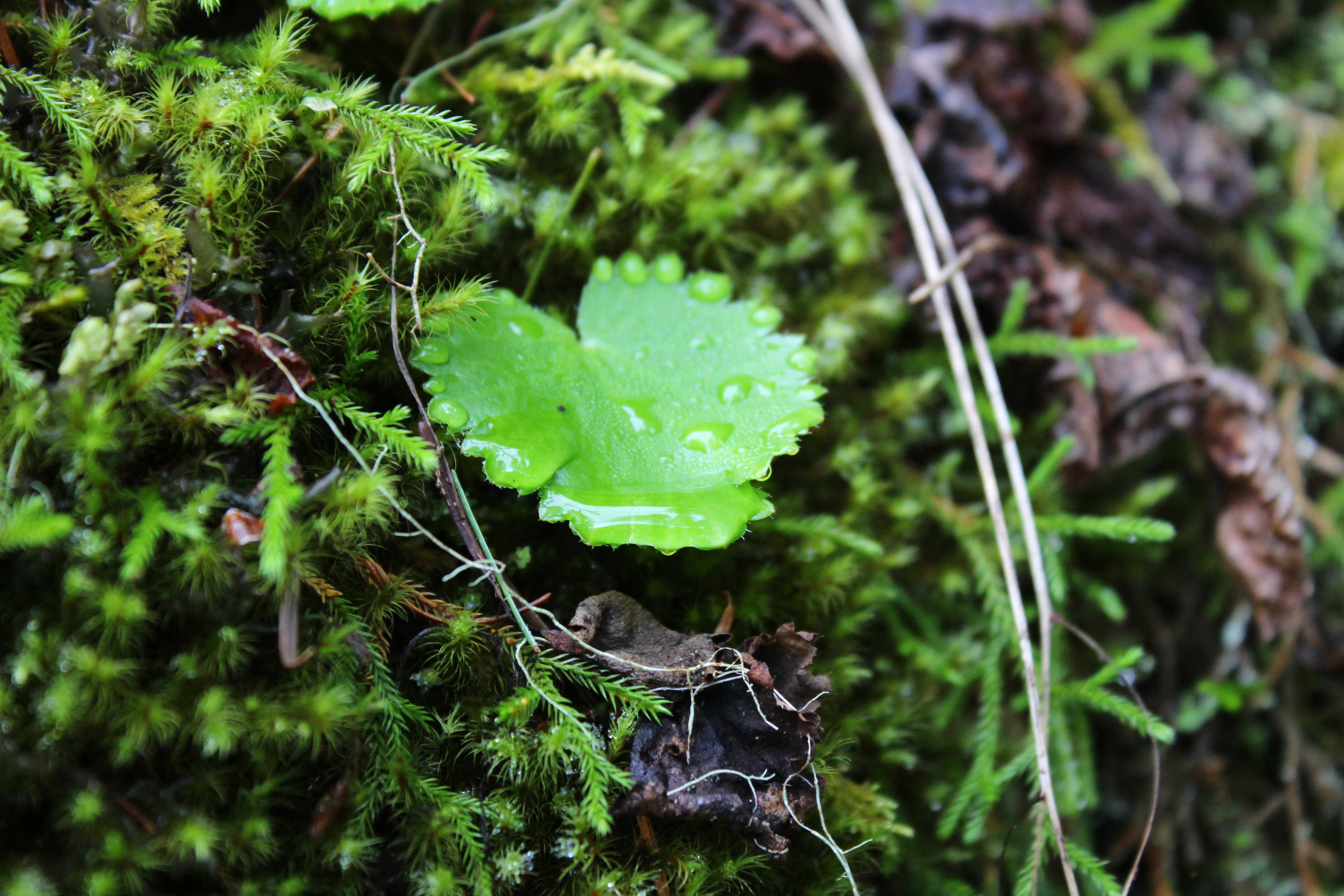
Some of that river mist condensed on a leaf
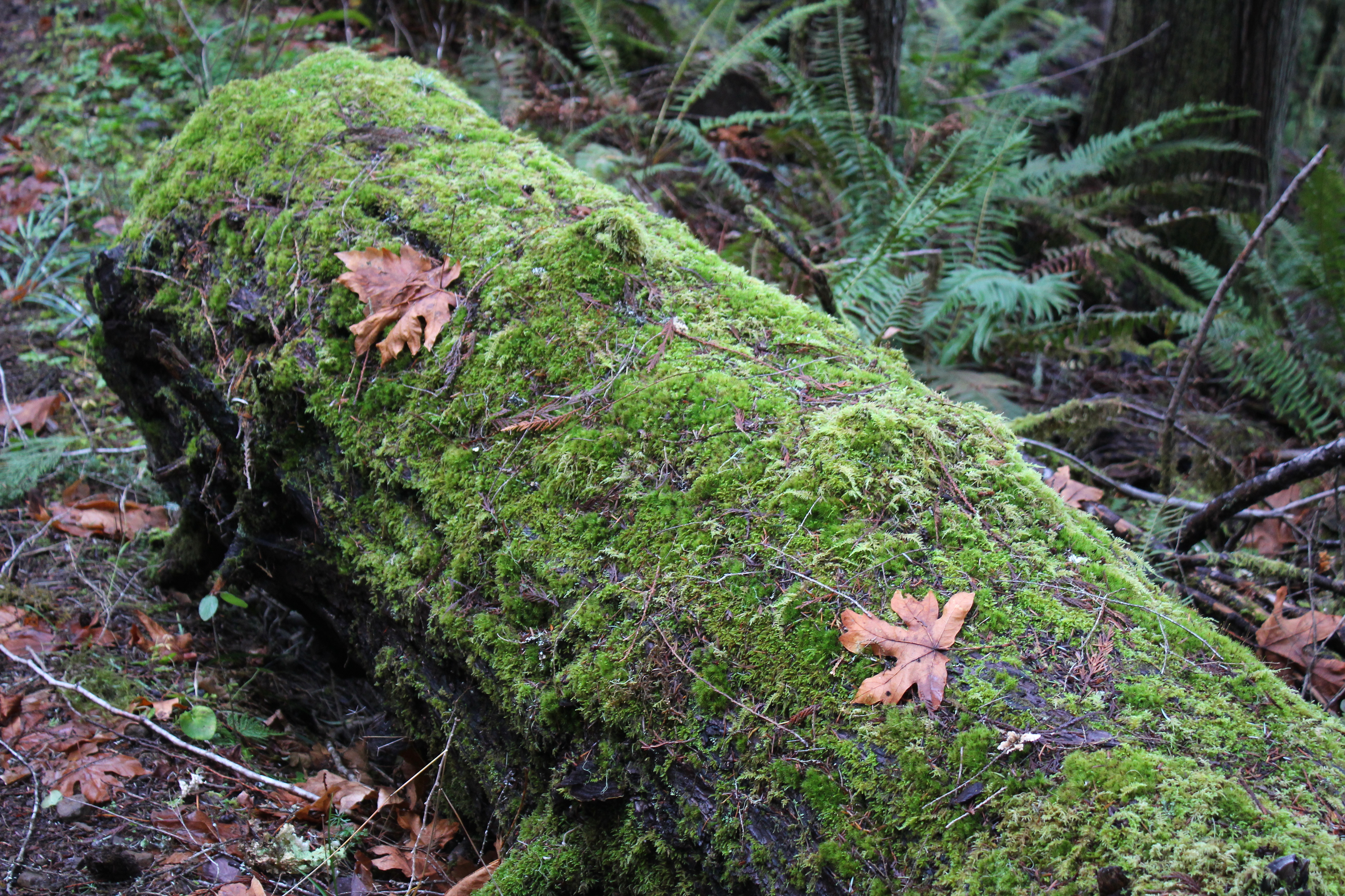
Moss lays claim to a log
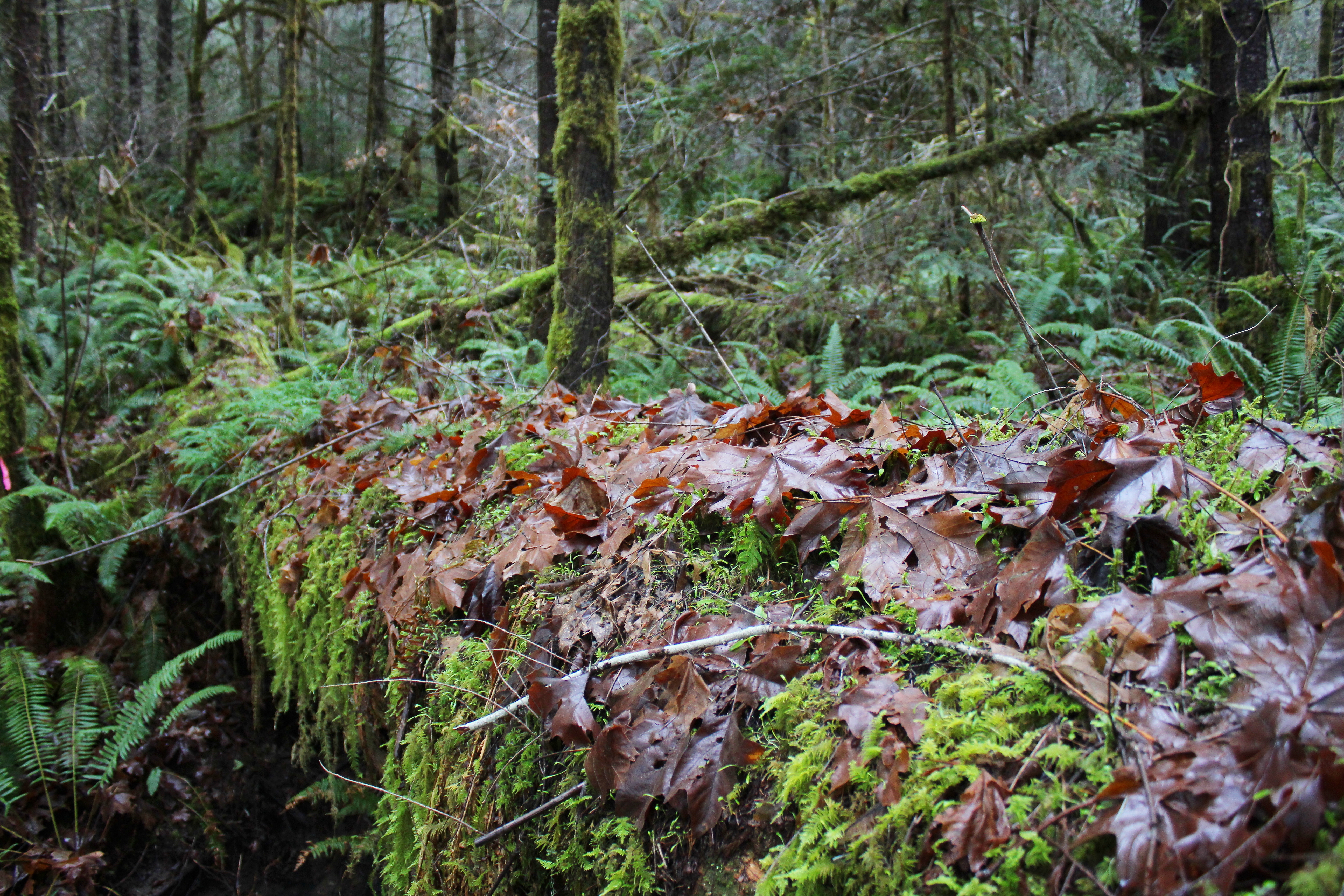
You see a lot of this in a burn zone
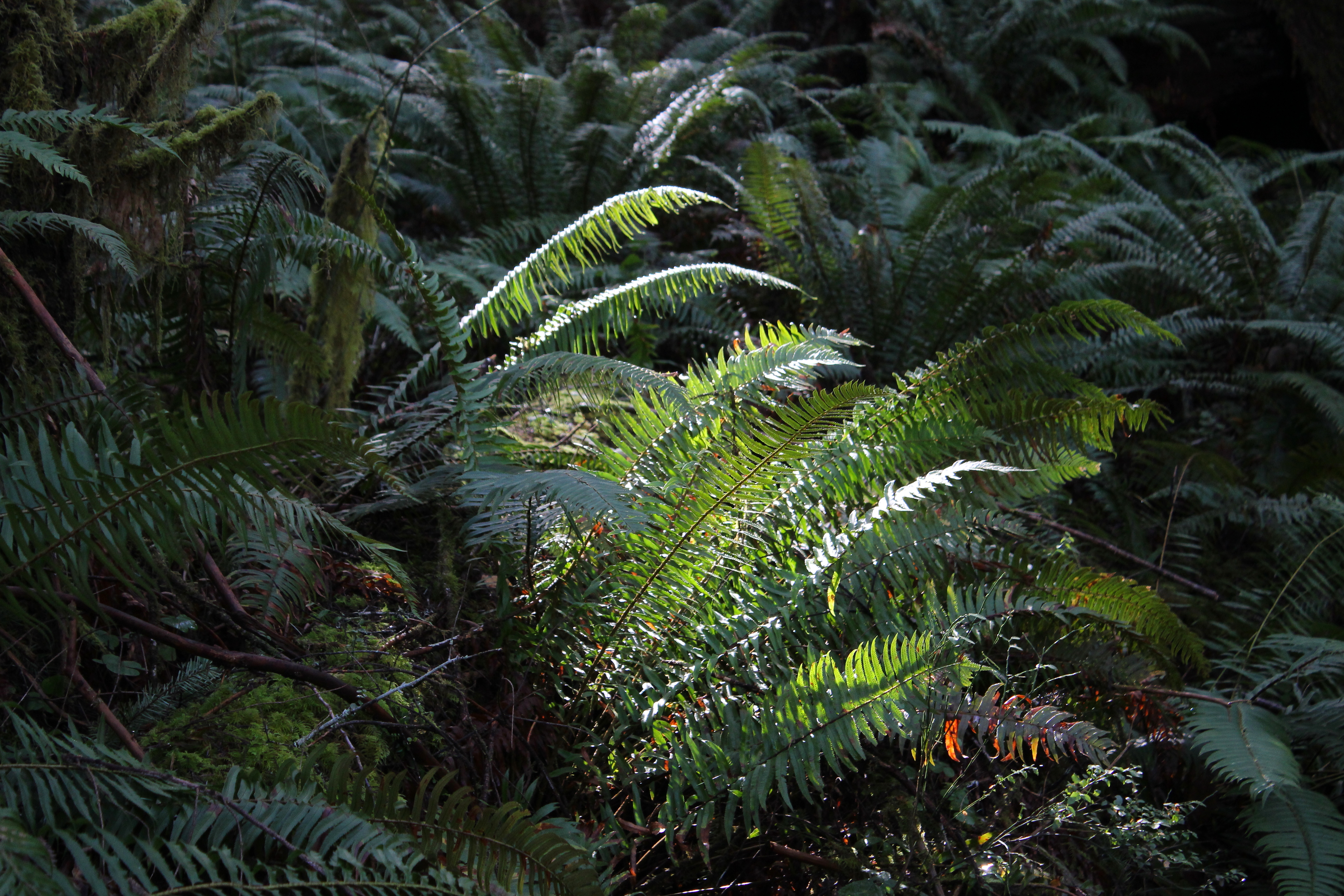
At least one fern gets a sun tan
Zen moment on a fallen log
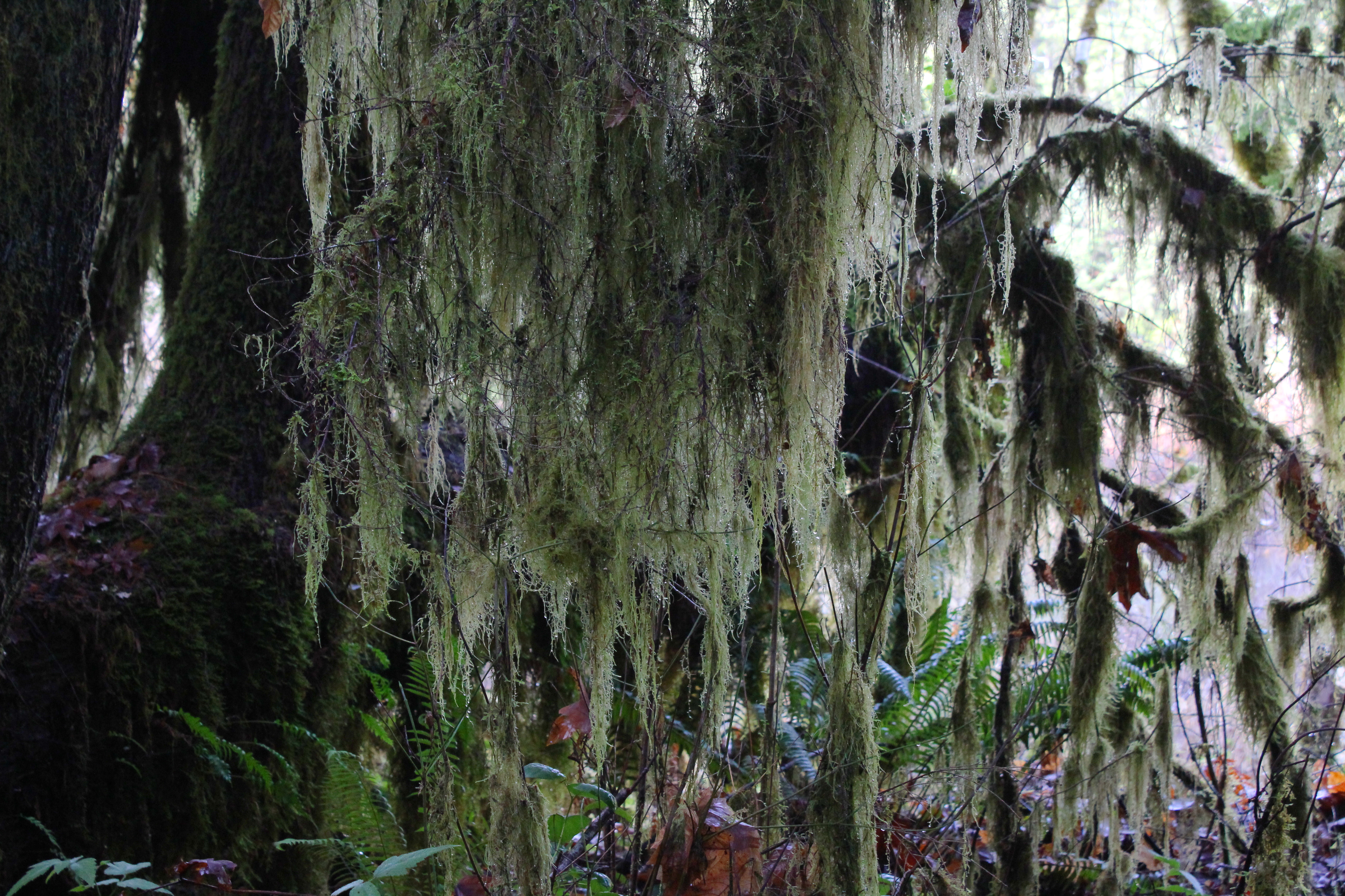
Lichen (Methuselahs beard) hung from the trees
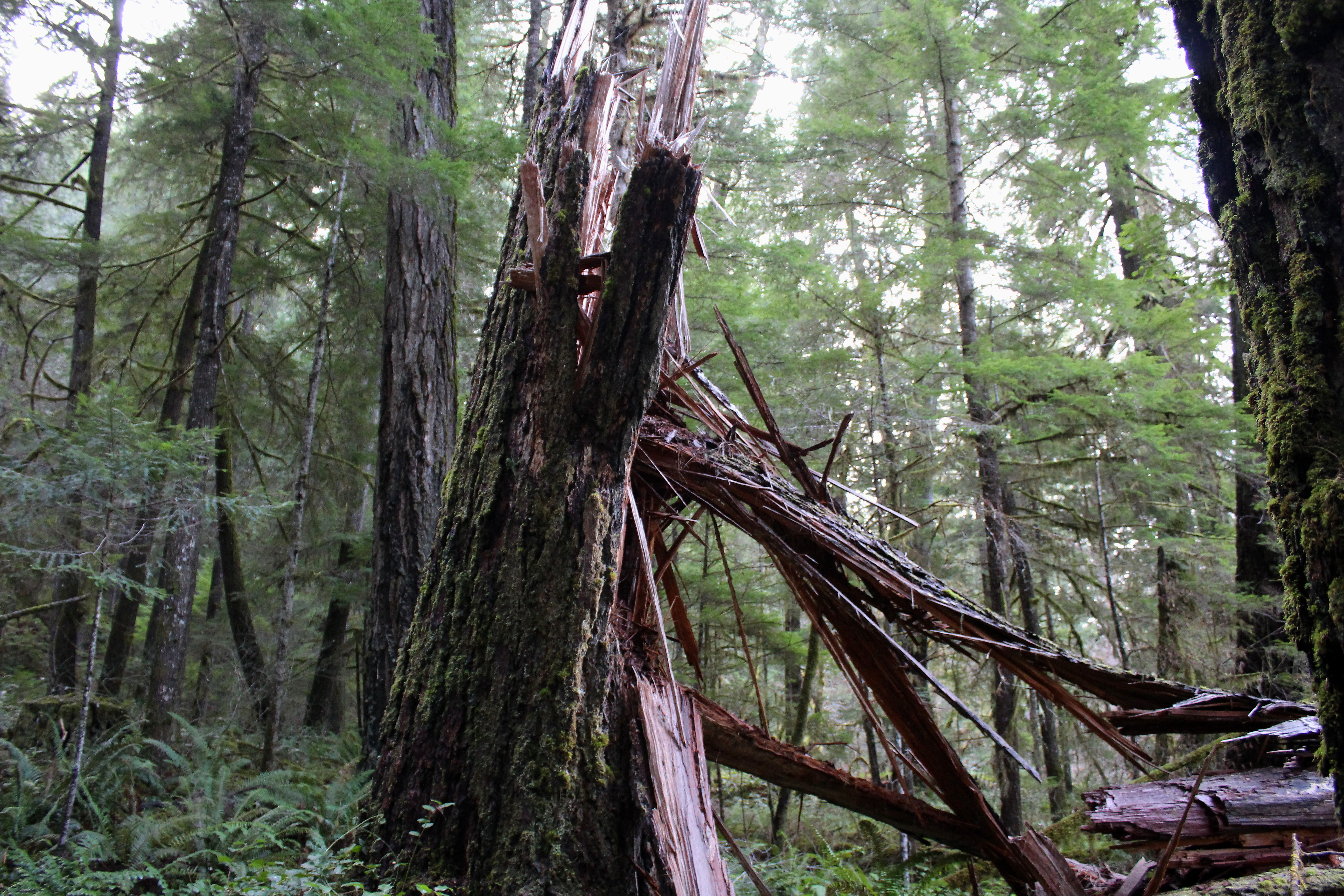
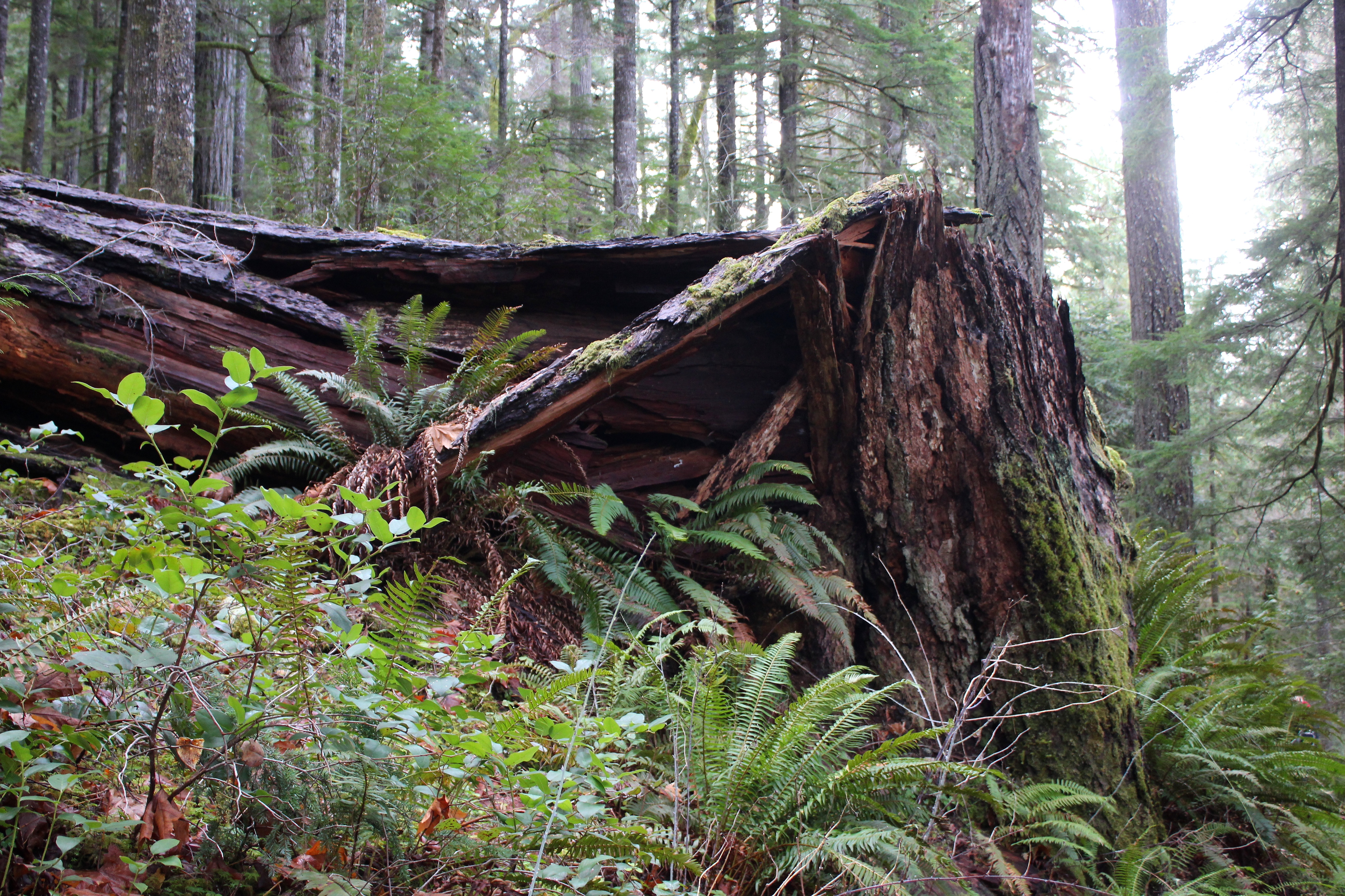
So glad the trees fell before we hiked and not during

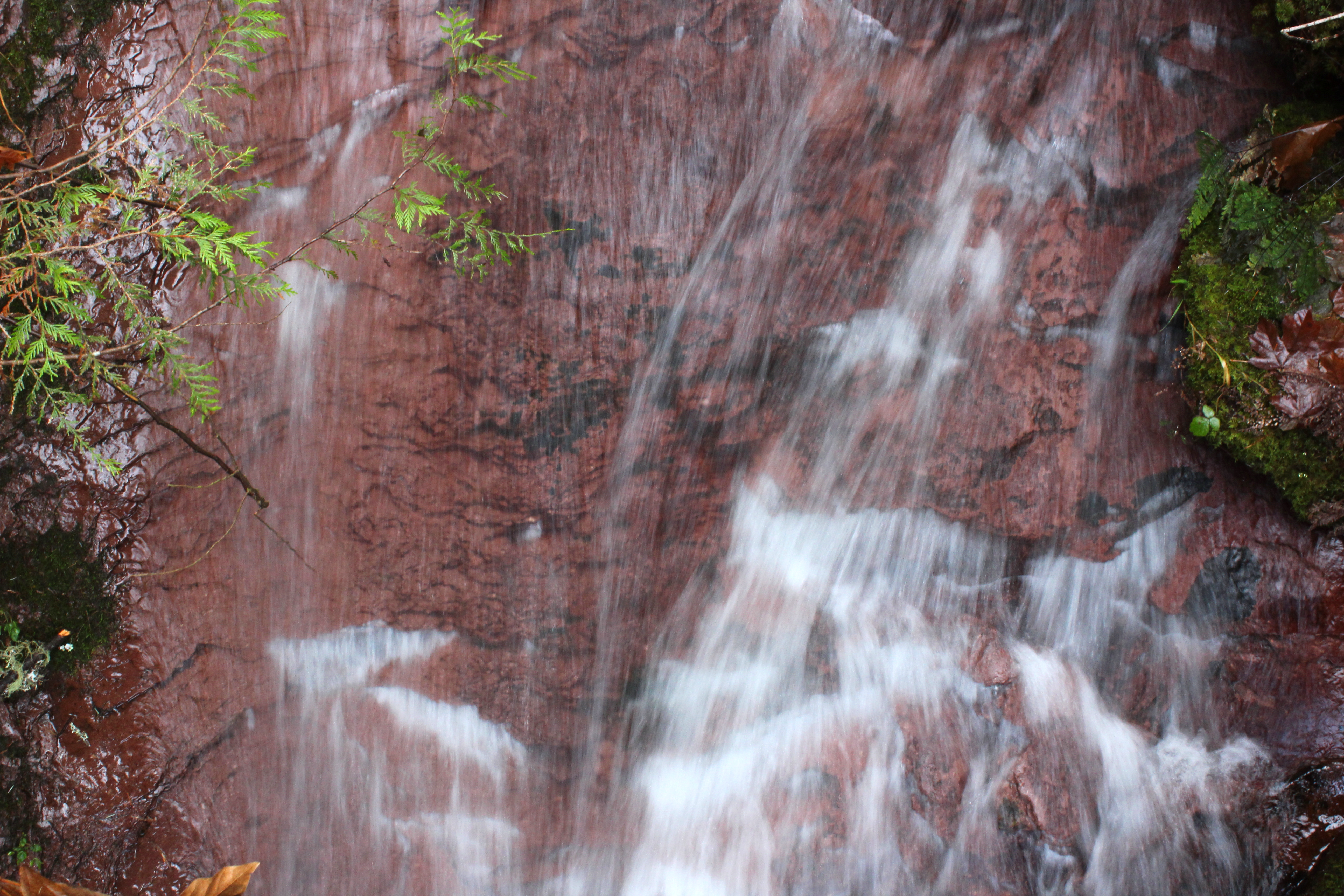
A small creek slides down a rock
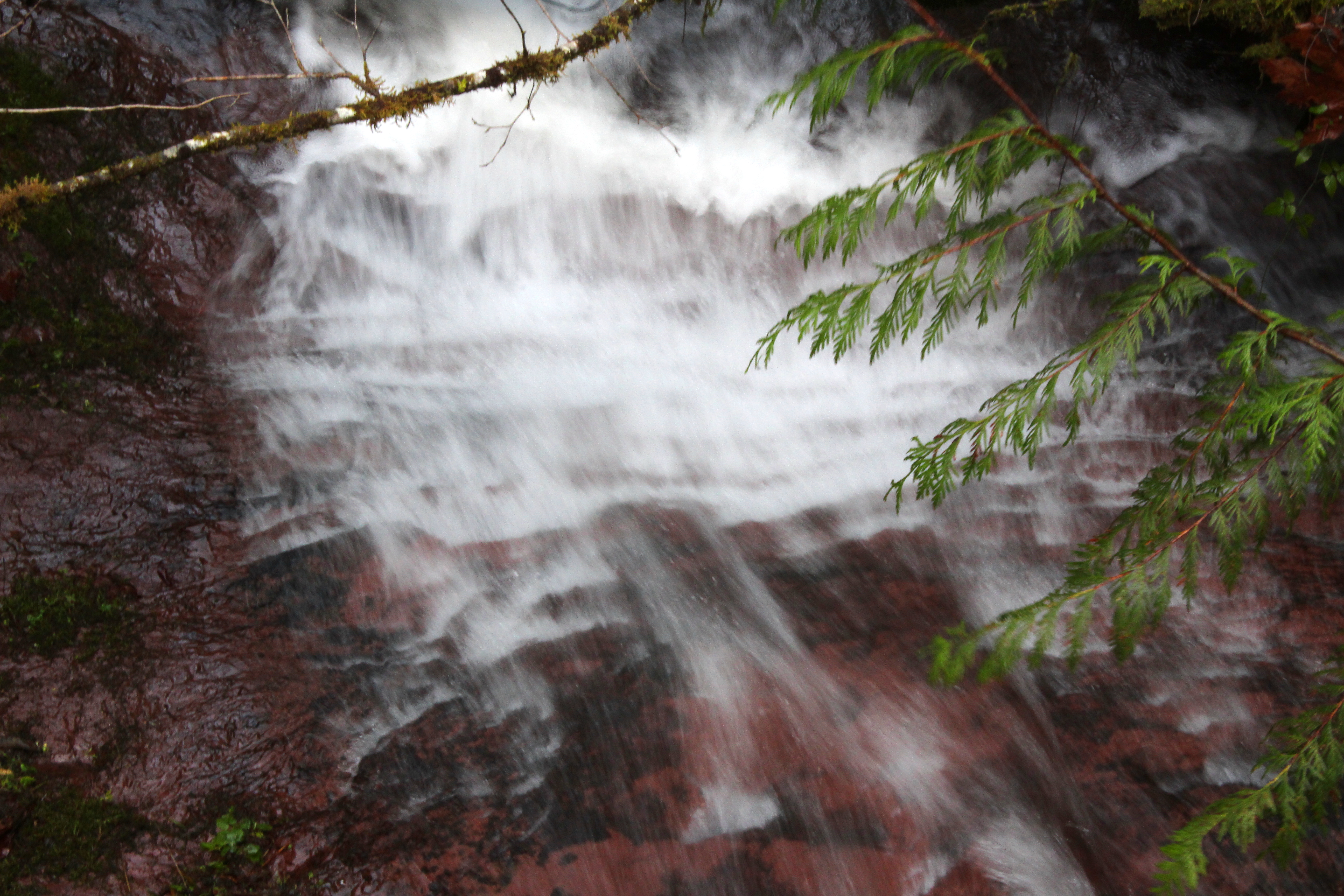
Slow shot of the creek slide
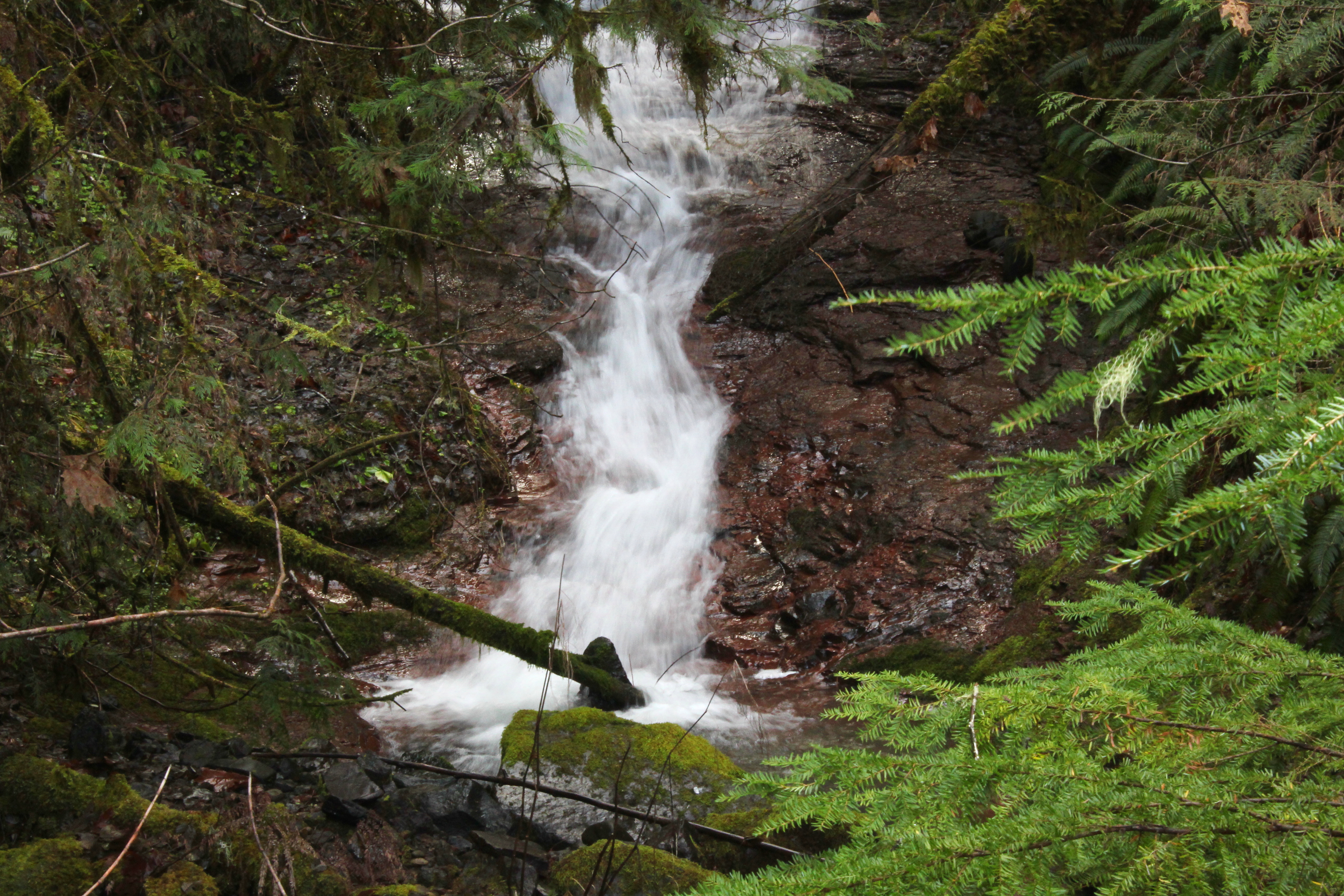
A nameless creek, on its way to the river
Small waterfall on a small creek
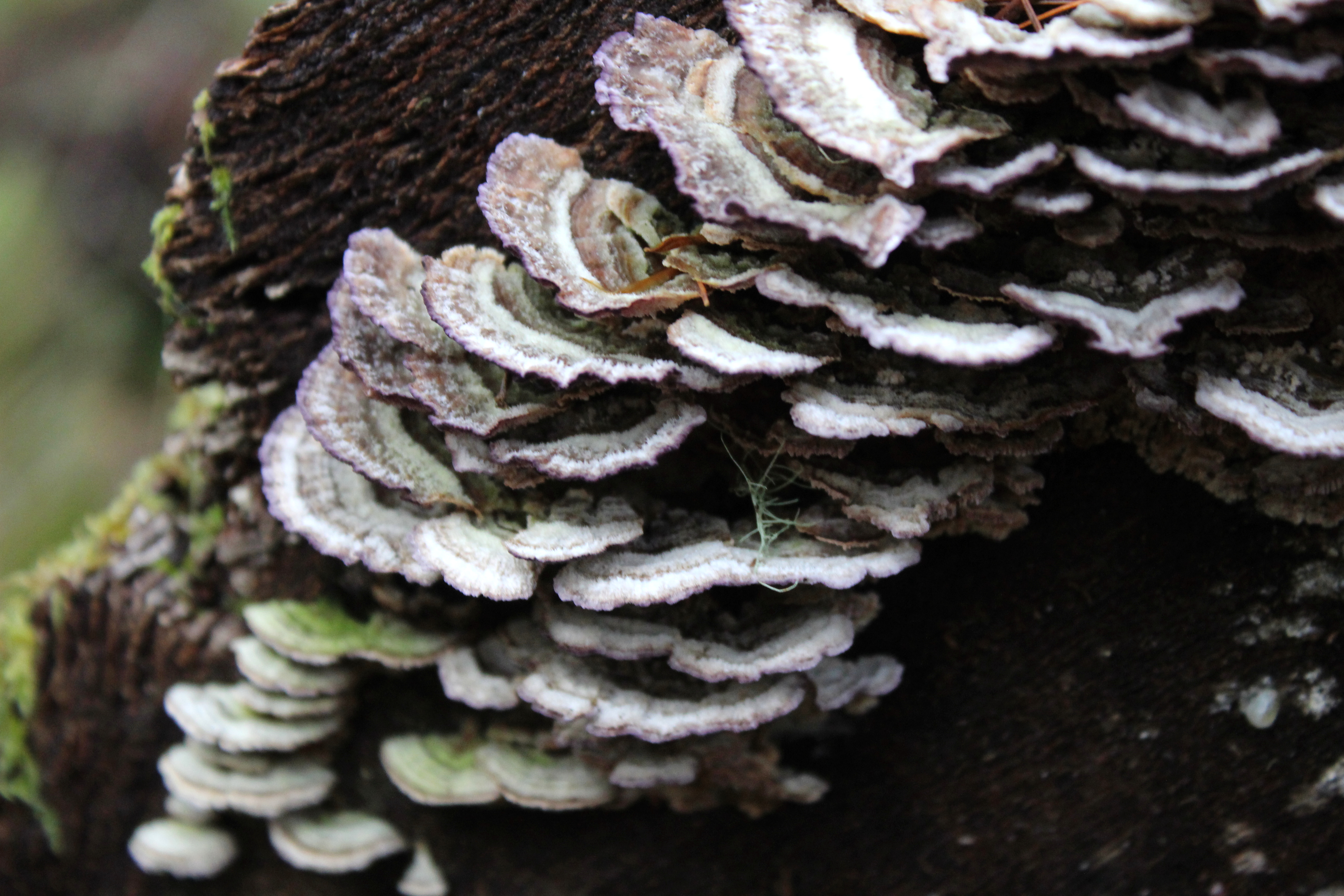
Turkeytails festoon a log
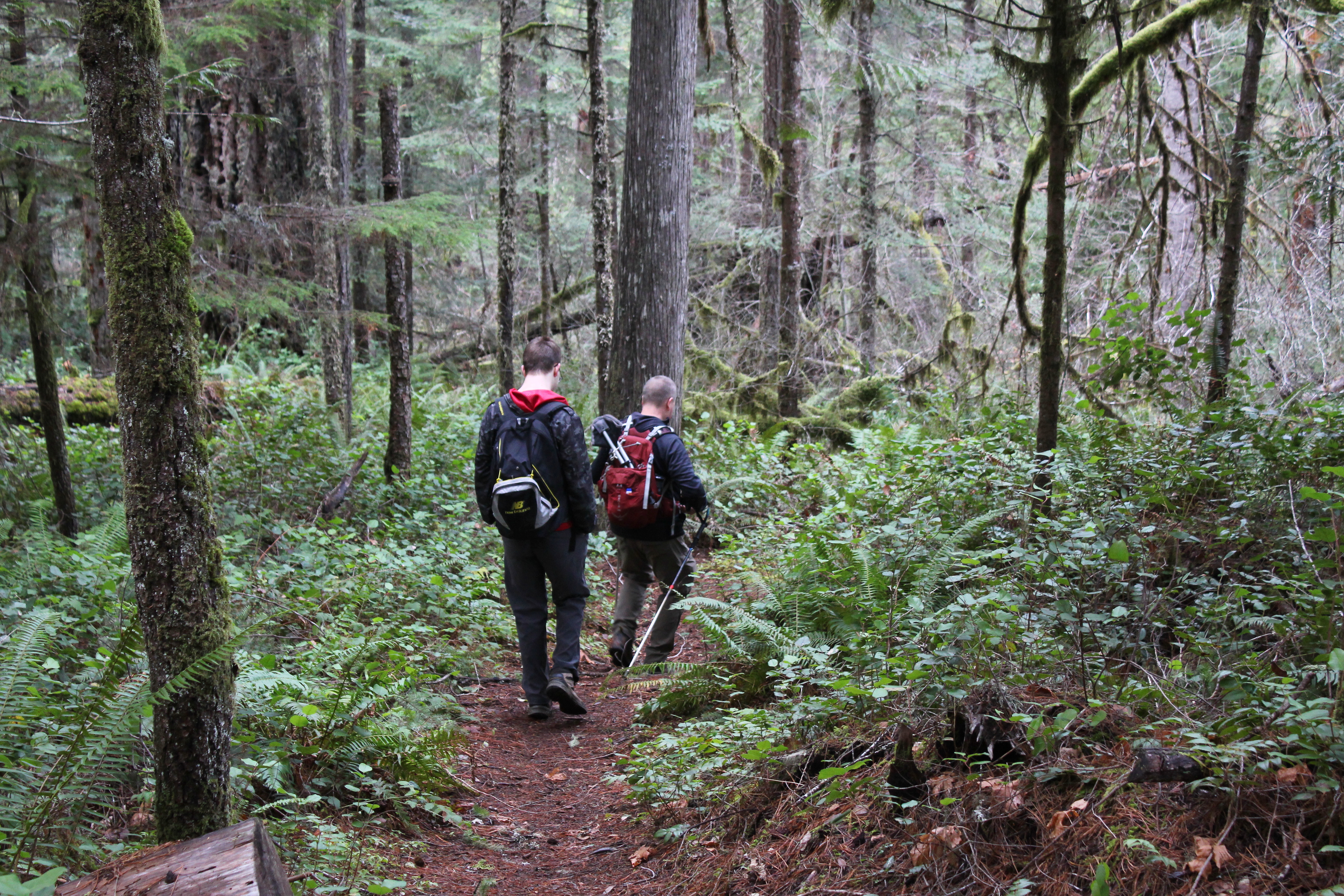
After a steep climb, it was a steep drop down to the river
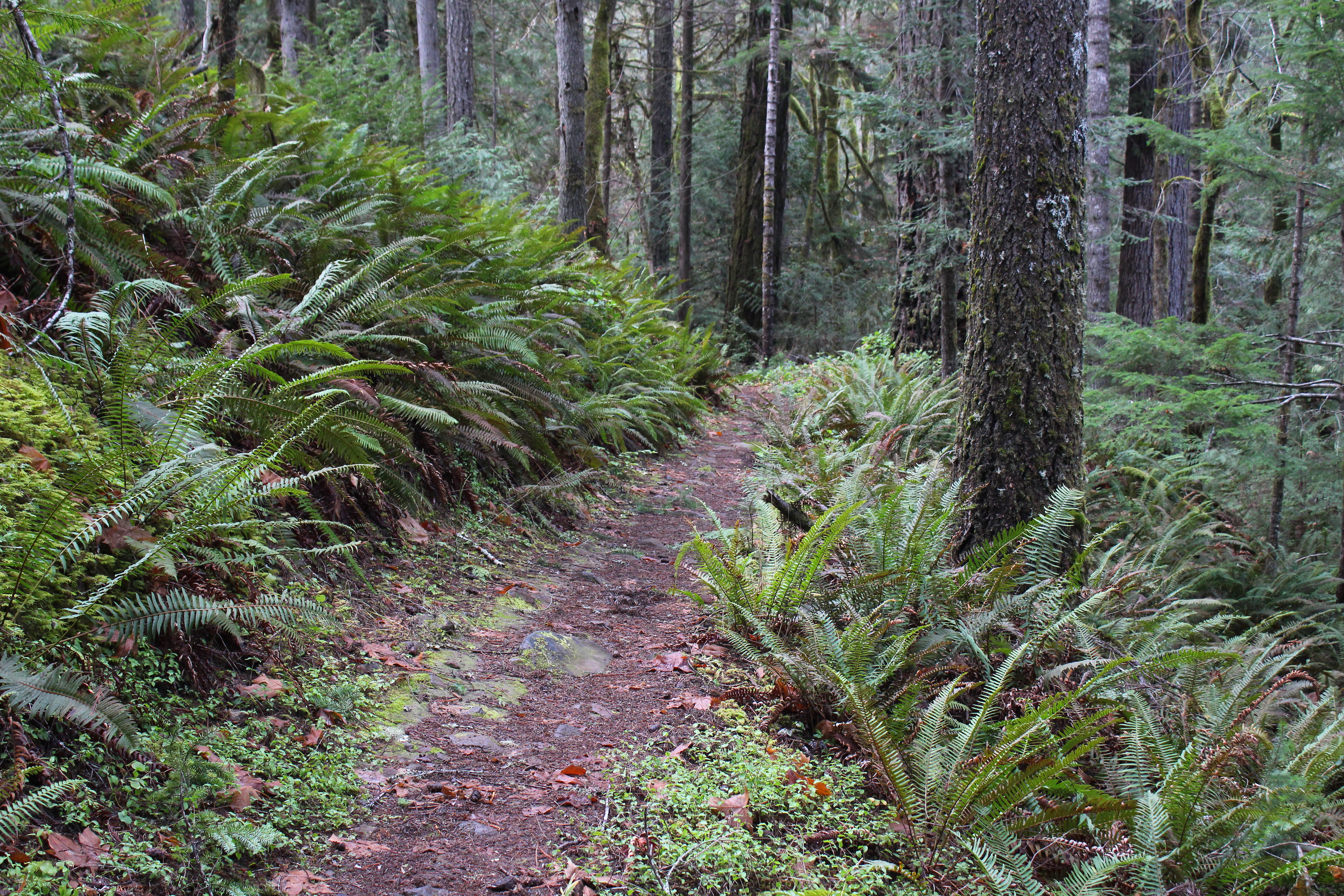
Trail through the fernage
Seems we hiked out of the burned area
Moss is all over a tree
アメリカ合衆国 〒 オレゴン州 スーザン・クリーク滝の地図
別の場所を検索
近所の場所
N Umpqa Hwy, Roseburg, OR アメリカ合衆国スーザン・クリーク・キャンプグランド
Idleyld Park, OR アメリカ合衆国フォール・クリーク・フォールズ
-, Rogue-Umpqua Scenic Byway, Idleyld Park, OR アメリカ合衆国ファーン・フォールズ
アメリカ合衆国 〒 オレゴン州 グライド アイドレイルド・パーク
Little River Rd, Glide, OR アメリカ合衆国
アメリカ合衆国 〒 オレゴン州 ピール
アメリカ合衆国 オレゴン州 グライド
アメリカ合衆国 〒 オレゴン州 ホウソーン
N Myrtle Rd, Myrtle Creek, OR アメリカ合衆国
アメリカ合衆国 〒 オレゴン州 ブラック・ビュート
N Bank Rd, Roseburg, OR アメリカ合衆国
Idleyld Park, OR アメリカ合衆国スリム・チャンス・キャンプグランド
Marilyn St, Roseburg, OR アメリカ合衆国
N Umpqua Hwy, Roseburg, OR アメリカ合衆国ボルダー・フラット・キャンプグランド
Cattle Dr, Roseburg, OR アメリカ合衆国
アメリカ合衆国 〒 オレゴン州 ディクソンビル
Echo Dr, Roseburg, OR アメリカ合衆国
Hatfield Dr, Roseburg, OR アメリカ合衆国
S Umpqua Rd, Tiller, OR アメリカ合衆国
アメリカ合衆国 〒 オレゴン州 ローズバーグ
最近の検索
- San Telmo, Buenos Aires, Argentina日の出日の入り時間
- Congressional Dr, Stevensville, MD, USA日の出日の入り時間
- ギリシャ 〒 04 パピンゴ日の出日の入り時間
- Kranto 7-oji g. 8"N, Kaunas, リトアニアPagonija rock日の出日の入り時間
- Co Rd 87, Jamestown, CO, USA日の出日の入り時間
- コロンビア クンディナマルカ テンホ日の出日の入り時間
- 日本、〒- 千葉県市原市五所1966−1日の出日の入り時間
- 日本 〒-日の出日の入り時間
- Co Rd A, Truth or Consequences, NM アメリカ合衆国スペースポート・アメリカ日の出日の入り時間
- アメリカ合衆国 〒 ロード・アイランド州 ウォーウィック日の出日の入り時間