Susan Creek Falls, Oregon, USA Sonnenaufgang Sonnenuntergang Zeiten
Location: USA > Oregon > Idleyld Park >
Zeitzone:
America/Los_Angeles
Ortszeit:
2024-04-28 01:49:14
Länge:
-122.8928357
Breite:
43.3317857
Sonnenaufgang Heute:
06:07:13 AM
Sonnenuntergang Heute:
08:10:37 PM
Tageslänge heute:
14h 3m 24s
Sonnenaufgang morgen:
06:05:48 AM
Sonnenuntergang Morgen:
08:11:47 PM
Tageslänge von morgen:
14h 5m 59s
Alle Termine anzeigen
| Datum | Sonnenaufgang | Sonnenuntergang | Tageslänge |
|---|---|---|---|
| 2024-01-01 | 07:43:56 AM | 04:46:58 PM | 9h 3m 2s |
| 2024-01-02 | 07:43:57 AM | 04:47:52 PM | 9h 3m 55s |
| 2024-01-03 | 07:43:56 AM | 04:48:48 PM | 9h 4m 52s |
| 2024-01-04 | 07:43:52 AM | 04:49:46 PM | 9h 5m 54s |
| 2024-01-05 | 07:43:46 AM | 04:50:46 PM | 9h 7m 0s |
| 2024-01-06 | 07:43:37 AM | 04:51:47 PM | 9h 8m 10s |
| 2024-01-07 | 07:43:26 AM | 04:52:49 PM | 9h 9m 23s |
| 2024-01-08 | 07:43:12 AM | 04:53:53 PM | 9h 10m 41s |
| 2024-01-09 | 07:42:56 AM | 04:54:58 PM | 9h 12m 2s |
| 2024-01-10 | 07:42:38 AM | 04:56:05 PM | 9h 13m 27s |
| 2024-01-11 | 07:42:17 AM | 04:57:13 PM | 9h 14m 56s |
| 2024-01-12 | 07:41:53 AM | 04:58:22 PM | 9h 16m 29s |
| 2024-01-13 | 07:41:28 AM | 04:59:32 PM | 9h 18m 4s |
| 2024-01-14 | 07:41:00 AM | 05:00:43 PM | 9h 19m 43s |
| 2024-01-15 | 07:40:29 AM | 05:01:55 PM | 9h 21m 26s |
| 2024-01-16 | 07:39:56 AM | 05:03:08 PM | 9h 23m 12s |
| 2024-01-17 | 07:39:22 AM | 05:04:22 PM | 9h 25m 0s |
| 2024-01-18 | 07:38:44 AM | 05:05:37 PM | 9h 26m 53s |
| 2024-01-19 | 07:38:05 AM | 05:06:53 PM | 9h 28m 48s |
| 2024-01-20 | 07:37:23 AM | 05:08:09 PM | 9h 30m 46s |
| 2024-01-21 | 07:36:39 AM | 05:09:26 PM | 9h 32m 47s |
| 2024-01-22 | 07:35:53 AM | 05:10:43 PM | 9h 34m 50s |
| 2024-01-23 | 07:35:05 AM | 05:12:01 PM | 9h 36m 56s |
| 2024-01-24 | 07:34:15 AM | 05:13:20 PM | 9h 39m 5s |
| 2024-01-25 | 07:33:23 AM | 05:14:39 PM | 9h 41m 16s |
| 2024-01-26 | 07:32:29 AM | 05:15:58 PM | 9h 43m 29s |
| 2024-01-27 | 07:31:33 AM | 05:17:18 PM | 9h 45m 45s |
| 2024-01-28 | 07:30:35 AM | 05:18:38 PM | 9h 48m 3s |
| 2024-01-29 | 07:29:35 AM | 05:19:59 PM | 9h 50m 24s |
| 2024-01-30 | 07:28:33 AM | 05:21:19 PM | 9h 52m 46s |
| 2024-01-31 | 07:27:29 AM | 05:22:40 PM | 9h 55m 11s |
| 2024-02-01 | 07:26:24 AM | 05:24:01 PM | 9h 57m 37s |
| 2024-02-02 | 07:25:17 AM | 05:25:22 PM | 10h 0m 5s |
| 2024-02-03 | 07:24:08 AM | 05:26:43 PM | 10h 2m 35s |
| 2024-02-04 | 07:22:57 AM | 05:28:04 PM | 10h 5m 7s |
| 2024-02-05 | 07:21:45 AM | 05:29:25 PM | 10h 7m 40s |
| 2024-02-06 | 07:20:31 AM | 05:30:46 PM | 10h 10m 15s |
| 2024-02-07 | 07:19:16 AM | 05:32:07 PM | 10h 12m 51s |
| 2024-02-08 | 07:17:59 AM | 05:33:28 PM | 10h 15m 29s |
| 2024-02-09 | 07:16:41 AM | 05:34:49 PM | 10h 18m 8s |
| 2024-02-10 | 07:15:21 AM | 05:36:10 PM | 10h 20m 49s |
| 2024-02-11 | 07:14:00 AM | 05:37:31 PM | 10h 23m 31s |
| 2024-02-12 | 07:12:38 AM | 05:38:51 PM | 10h 26m 13s |
| 2024-02-13 | 07:11:14 AM | 05:40:11 PM | 10h 28m 57s |
| 2024-02-14 | 07:09:49 AM | 05:41:31 PM | 10h 31m 42s |
| 2024-02-15 | 07:08:23 AM | 05:42:51 PM | 10h 34m 28s |
| 2024-02-16 | 07:06:56 AM | 05:44:11 PM | 10h 37m 15s |
| 2024-02-17 | 07:05:27 AM | 05:45:30 PM | 10h 40m 3s |
| 2024-02-18 | 07:03:57 AM | 05:46:50 PM | 10h 42m 53s |
| 2024-02-19 | 07:02:27 AM | 05:48:08 PM | 10h 45m 41s |
| 2024-02-20 | 07:00:55 AM | 05:49:27 PM | 10h 48m 32s |
| 2024-02-21 | 06:59:22 AM | 05:50:45 PM | 10h 51m 23s |
| 2024-02-22 | 06:57:48 AM | 05:52:04 PM | 10h 54m 16s |
| 2024-02-23 | 06:56:13 AM | 05:53:21 PM | 10h 57m 8s |
| 2024-02-24 | 06:54:38 AM | 05:54:39 PM | 11h 0m 1s |
| 2024-02-25 | 06:53:01 AM | 05:55:56 PM | 11h 2m 55s |
| 2024-02-26 | 06:51:24 AM | 05:57:13 PM | 11h 5m 49s |
| 2024-02-27 | 06:49:45 AM | 05:58:30 PM | 11h 8m 45s |
| 2024-02-28 | 06:48:06 AM | 05:59:46 PM | 11h 11m 40s |
| 2024-02-29 | 06:46:27 AM | 06:01:02 PM | 11h 14m 35s |
| 2024-03-01 | 06:44:46 AM | 06:02:18 PM | 11h 17m 32s |
| 2024-03-02 | 06:43:05 AM | 06:03:33 PM | 11h 20m 28s |
| 2024-03-03 | 06:41:24 AM | 06:04:49 PM | 11h 23m 25s |
| 2024-03-04 | 06:39:42 AM | 06:06:04 PM | 11h 26m 22s |
| 2024-03-05 | 06:37:59 AM | 06:07:18 PM | 11h 29m 19s |
| 2024-03-06 | 06:36:15 AM | 06:08:33 PM | 11h 32m 18s |
| 2024-03-07 | 06:34:32 AM | 06:09:47 PM | 11h 35m 15s |
| 2024-03-08 | 06:32:47 AM | 06:11:01 PM | 11h 38m 14s |
| 2024-03-09 | 06:31:03 AM | 06:12:15 PM | 11h 41m 12s |
| 2024-03-10 | 07:29:22 AM | 07:13:25 PM | 11h 44m 3s |
| 2024-03-11 | 07:27:37 AM | 07:14:38 PM | 11h 47m 1s |
| 2024-03-12 | 07:25:51 AM | 07:15:51 PM | 11h 50m 0s |
| 2024-03-13 | 07:24:05 AM | 07:17:04 PM | 11h 52m 59s |
| 2024-03-14 | 07:22:18 AM | 07:18:17 PM | 11h 55m 59s |
| 2024-03-15 | 07:20:32 AM | 07:19:29 PM | 11h 58m 57s |
| 2024-03-16 | 07:18:45 AM | 07:20:41 PM | 12h 1m 56s |
| 2024-03-17 | 07:16:58 AM | 07:21:53 PM | 12h 4m 55s |
| 2024-03-18 | 07:15:11 AM | 07:23:05 PM | 12h 7m 54s |
| 2024-03-19 | 07:13:24 AM | 07:24:17 PM | 12h 10m 53s |
| 2024-03-20 | 07:11:36 AM | 07:25:28 PM | 12h 13m 52s |
| 2024-03-21 | 07:09:49 AM | 07:26:40 PM | 12h 16m 51s |
| 2024-03-22 | 07:08:02 AM | 07:27:51 PM | 12h 19m 49s |
| 2024-03-23 | 07:06:14 AM | 07:29:02 PM | 12h 22m 48s |
| 2024-03-24 | 07:04:27 AM | 07:30:14 PM | 12h 25m 47s |
| 2024-03-25 | 07:02:40 AM | 07:31:25 PM | 12h 28m 45s |
| 2024-03-26 | 07:00:53 AM | 07:32:35 PM | 12h 31m 42s |
| 2024-03-27 | 06:59:06 AM | 07:33:46 PM | 12h 34m 40s |
| 2024-03-28 | 06:57:19 AM | 07:34:57 PM | 12h 37m 38s |
| 2024-03-29 | 06:55:32 AM | 07:36:08 PM | 12h 40m 36s |
| 2024-03-30 | 06:53:46 AM | 07:37:19 PM | 12h 43m 33s |
| 2024-03-31 | 06:51:59 AM | 07:38:29 PM | 12h 46m 30s |
| 2024-04-01 | 06:50:14 AM | 07:39:40 PM | 12h 49m 26s |
| 2024-04-02 | 06:48:28 AM | 07:40:50 PM | 12h 52m 22s |
| 2024-04-03 | 06:46:43 AM | 07:42:01 PM | 12h 55m 18s |
| 2024-04-04 | 06:44:58 AM | 07:43:11 PM | 12h 58m 13s |
| 2024-04-05 | 06:43:13 AM | 07:44:22 PM | 13h 1m 9s |
| 2024-04-06 | 06:41:30 AM | 07:45:32 PM | 13h 4m 2s |
| 2024-04-07 | 06:39:46 AM | 07:46:43 PM | 13h 6m 57s |
| 2024-04-08 | 06:38:03 AM | 07:47:53 PM | 13h 9m 50s |
| 2024-04-09 | 06:36:21 AM | 07:49:04 PM | 13h 12m 43s |
| 2024-04-10 | 06:34:39 AM | 07:50:14 PM | 13h 15m 35s |
| 2024-04-11 | 06:32:57 AM | 07:51:25 PM | 13h 18m 28s |
| 2024-04-12 | 06:31:17 AM | 07:52:35 PM | 13h 21m 18s |
| 2024-04-13 | 06:29:37 AM | 07:53:46 PM | 13h 24m 9s |
| 2024-04-14 | 06:27:57 AM | 07:54:57 PM | 13h 27m 0s |
| 2024-04-15 | 06:26:19 AM | 07:56:07 PM | 13h 29m 48s |
| 2024-04-16 | 06:24:41 AM | 07:57:18 PM | 13h 32m 37s |
| 2024-04-17 | 06:23:04 AM | 07:58:28 PM | 13h 35m 24s |
| 2024-04-18 | 06:21:28 AM | 07:59:39 PM | 13h 38m 11s |
| 2024-04-19 | 06:19:53 AM | 08:00:49 PM | 13h 40m 56s |
| 2024-04-20 | 06:18:18 AM | 08:02:00 PM | 13h 43m 42s |
| 2024-04-21 | 06:16:45 AM | 08:03:10 PM | 13h 46m 25s |
| 2024-04-22 | 06:15:12 AM | 08:04:20 PM | 13h 49m 8s |
| 2024-04-23 | 06:13:41 AM | 08:05:31 PM | 13h 51m 50s |
| 2024-04-24 | 06:12:10 AM | 08:06:41 PM | 13h 54m 31s |
| 2024-04-25 | 06:10:41 AM | 08:07:51 PM | 13h 57m 10s |
| 2024-04-26 | 06:09:13 AM | 08:09:01 PM | 13h 59m 48s |
| 2024-04-27 | 06:07:46 AM | 08:10:11 PM | 14h 2m 25s |
| 2024-04-28 | 06:06:20 AM | 08:11:21 PM | 14h 5m 1s |
| 2024-04-29 | 06:04:55 AM | 08:12:31 PM | 14h 7m 36s |
| 2024-04-30 | 06:03:31 AM | 08:13:40 PM | 14h 10m 9s |
| 2024-05-01 | 06:02:09 AM | 08:14:49 PM | 14h 12m 40s |
| 2024-05-02 | 06:00:48 AM | 08:15:59 PM | 14h 15m 11s |
| 2024-05-03 | 05:59:28 AM | 08:17:07 PM | 14h 17m 39s |
| 2024-05-04 | 05:58:10 AM | 08:18:16 PM | 14h 20m 6s |
| 2024-05-05 | 05:56:53 AM | 08:19:24 PM | 14h 22m 31s |
| 2024-05-06 | 05:55:38 AM | 08:20:32 PM | 14h 24m 54s |
| 2024-05-07 | 05:54:24 AM | 08:21:40 PM | 14h 27m 16s |
| 2024-05-08 | 05:53:12 AM | 08:22:47 PM | 14h 29m 35s |
| 2024-05-09 | 05:52:01 AM | 08:23:54 PM | 14h 31m 53s |
| 2024-05-10 | 05:50:52 AM | 08:25:01 PM | 14h 34m 9s |
| 2024-05-11 | 05:49:44 AM | 08:26:07 PM | 14h 36m 23s |
| 2024-05-12 | 05:48:38 AM | 08:27:12 PM | 14h 38m 34s |
| 2024-05-13 | 05:47:34 AM | 08:28:17 PM | 14h 40m 43s |
| 2024-05-14 | 05:46:31 AM | 08:29:22 PM | 14h 42m 51s |
| 2024-05-15 | 05:45:30 AM | 08:30:25 PM | 14h 44m 55s |
| 2024-05-16 | 05:44:31 AM | 08:31:28 PM | 14h 46m 57s |
| 2024-05-17 | 05:43:34 AM | 08:32:31 PM | 14h 48m 57s |
| 2024-05-18 | 05:42:38 AM | 08:33:32 PM | 14h 50m 54s |
| 2024-05-19 | 05:41:45 AM | 08:34:33 PM | 14h 52m 48s |
| 2024-05-20 | 05:40:53 AM | 08:35:33 PM | 14h 54m 40s |
| 2024-05-21 | 05:40:03 AM | 08:36:33 PM | 14h 56m 30s |
| 2024-05-22 | 05:39:15 AM | 08:37:31 PM | 14h 58m 16s |
| 2024-05-23 | 05:38:29 AM | 08:38:28 PM | 14h 59m 59s |
| 2024-05-24 | 05:37:46 AM | 08:39:25 PM | 15h 1m 39s |
| 2024-05-25 | 05:37:04 AM | 08:40:20 PM | 15h 3m 16s |
| 2024-05-26 | 05:36:24 AM | 08:41:14 PM | 15h 4m 50s |
| 2024-05-27 | 05:35:46 AM | 08:42:07 PM | 15h 6m 21s |
| 2024-05-28 | 05:35:10 AM | 08:42:59 PM | 15h 7m 49s |
| 2024-05-29 | 05:34:37 AM | 08:43:49 PM | 15h 9m 12s |
| 2024-05-30 | 05:34:05 AM | 08:44:39 PM | 15h 10m 34s |
| 2024-05-31 | 05:33:36 AM | 08:45:27 PM | 15h 11m 51s |
| 2024-06-01 | 05:33:09 AM | 08:46:13 PM | 15h 13m 4s |
| 2024-06-02 | 05:32:44 AM | 08:46:59 PM | 15h 14m 15s |
| 2024-06-03 | 05:32:21 AM | 08:47:42 PM | 15h 15m 21s |
| 2024-06-04 | 05:32:00 AM | 08:48:24 PM | 15h 16m 24s |
| 2024-06-05 | 05:31:41 AM | 08:49:05 PM | 15h 17m 24s |
| 2024-06-06 | 05:31:25 AM | 08:49:44 PM | 15h 18m 19s |
| 2024-06-07 | 05:31:11 AM | 08:50:21 PM | 15h 19m 10s |
| 2024-06-08 | 05:30:59 AM | 08:50:57 PM | 15h 19m 58s |
| 2024-06-09 | 05:30:49 AM | 08:51:31 PM | 15h 20m 42s |
| 2024-06-10 | 05:30:42 AM | 08:52:03 PM | 15h 21m 21s |
| 2024-06-11 | 05:30:36 AM | 08:52:34 PM | 15h 21m 58s |
| 2024-06-12 | 05:30:33 AM | 08:53:02 PM | 15h 22m 29s |
| 2024-06-13 | 05:30:32 AM | 08:53:29 PM | 15h 22m 57s |
| 2024-06-14 | 05:30:33 AM | 08:53:53 PM | 15h 23m 20s |
| 2024-06-15 | 05:30:36 AM | 08:54:16 PM | 15h 23m 40s |
| 2024-06-16 | 05:30:41 AM | 08:54:37 PM | 15h 23m 56s |
| 2024-06-17 | 05:30:49 AM | 08:54:55 PM | 15h 24m 6s |
| 2024-06-18 | 05:30:58 AM | 08:55:12 PM | 15h 24m 14s |
| 2024-06-19 | 05:31:10 AM | 08:55:27 PM | 15h 24m 17s |
| 2024-06-20 | 05:31:23 AM | 08:55:39 PM | 15h 24m 16s |
| 2024-06-21 | 05:31:39 AM | 08:55:49 PM | 15h 24m 10s |
| 2024-06-22 | 05:31:57 AM | 08:55:58 PM | 15h 24m 1s |
| 2024-06-23 | 05:32:16 AM | 08:56:04 PM | 15h 23m 48s |
| 2024-06-24 | 05:32:38 AM | 08:56:08 PM | 15h 23m 30s |
| 2024-06-25 | 05:33:01 AM | 08:56:09 PM | 15h 23m 8s |
| 2024-06-26 | 05:33:27 AM | 08:56:09 PM | 15h 22m 42s |
| 2024-06-27 | 05:33:54 AM | 08:56:06 PM | 15h 22m 12s |
| 2024-06-28 | 05:34:23 AM | 08:56:01 PM | 15h 21m 38s |
| 2024-06-29 | 05:34:53 AM | 08:55:54 PM | 15h 21m 1s |
| 2024-06-30 | 05:35:26 AM | 08:55:45 PM | 15h 20m 19s |
| 2024-07-01 | 05:36:00 AM | 08:55:33 PM | 15h 19m 33s |
| 2024-07-02 | 05:36:35 AM | 08:55:19 PM | 15h 18m 44s |
| 2024-07-03 | 05:37:13 AM | 08:55:03 PM | 15h 17m 50s |
| 2024-07-04 | 05:37:52 AM | 08:54:45 PM | 15h 16m 53s |
| 2024-07-05 | 05:38:32 AM | 08:54:24 PM | 15h 15m 52s |
| 2024-07-06 | 05:39:14 AM | 08:54:02 PM | 15h 14m 48s |
| 2024-07-07 | 05:39:57 AM | 08:53:37 PM | 15h 13m 40s |
| 2024-07-08 | 05:40:42 AM | 08:53:09 PM | 15h 12m 27s |
| 2024-07-09 | 05:41:27 AM | 08:52:40 PM | 15h 11m 13s |
| 2024-07-10 | 05:42:15 AM | 08:52:09 PM | 15h 9m 54s |
| 2024-07-11 | 05:43:03 AM | 08:51:35 PM | 15h 8m 32s |
| 2024-07-12 | 05:43:53 AM | 08:50:59 PM | 15h 7m 6s |
| 2024-07-13 | 05:44:43 AM | 08:50:21 PM | 15h 5m 38s |
| 2024-07-14 | 05:45:35 AM | 08:49:41 PM | 15h 4m 6s |
| 2024-07-15 | 05:46:28 AM | 08:48:59 PM | 15h 2m 31s |
| 2024-07-16 | 05:47:22 AM | 08:48:15 PM | 15h 0m 53s |
| 2024-07-17 | 05:48:17 AM | 08:47:29 PM | 14h 59m 12s |
| 2024-07-18 | 05:49:12 AM | 08:46:41 PM | 14h 57m 29s |
| 2024-07-19 | 05:50:09 AM | 08:45:51 PM | 14h 55m 42s |
| 2024-07-20 | 05:51:06 AM | 08:44:59 PM | 14h 53m 53s |
| 2024-07-21 | 05:52:04 AM | 08:44:05 PM | 14h 52m 1s |
| 2024-07-22 | 05:53:03 AM | 08:43:09 PM | 14h 50m 6s |
| 2024-07-23 | 05:54:03 AM | 08:42:11 PM | 14h 48m 8s |
| 2024-07-24 | 05:55:03 AM | 08:41:12 PM | 14h 46m 9s |
| 2024-07-25 | 05:56:04 AM | 08:40:11 PM | 14h 44m 7s |
| 2024-07-26 | 05:57:05 AM | 08:39:08 PM | 14h 42m 3s |
| 2024-07-27 | 05:58:07 AM | 08:38:03 PM | 14h 39m 56s |
| 2024-07-28 | 05:59:09 AM | 08:36:56 PM | 14h 37m 47s |
| 2024-07-29 | 06:00:12 AM | 08:35:48 PM | 14h 35m 36s |
| 2024-07-30 | 06:01:15 AM | 08:34:38 PM | 14h 33m 23s |
| 2024-07-31 | 06:02:19 AM | 08:33:27 PM | 14h 31m 8s |
| 2024-08-01 | 06:03:23 AM | 08:32:14 PM | 14h 28m 51s |
| 2024-08-02 | 06:04:27 AM | 08:30:59 PM | 14h 26m 32s |
| 2024-08-03 | 06:05:32 AM | 08:29:43 PM | 14h 24m 11s |
| 2024-08-04 | 06:06:37 AM | 08:28:26 PM | 14h 21m 49s |
| 2024-08-05 | 06:07:42 AM | 08:27:07 PM | 14h 19m 25s |
| 2024-08-06 | 06:08:47 AM | 08:25:46 PM | 14h 16m 59s |
| 2024-08-07 | 06:09:53 AM | 08:24:25 PM | 14h 14m 32s |
| 2024-08-08 | 06:10:58 AM | 08:23:01 PM | 14h 12m 3s |
| 2024-08-09 | 06:12:04 AM | 08:21:37 PM | 14h 9m 33s |
| 2024-08-10 | 06:13:10 AM | 08:20:11 PM | 14h 7m 1s |
| 2024-08-11 | 06:14:16 AM | 08:18:45 PM | 14h 4m 29s |
| 2024-08-12 | 06:15:23 AM | 08:17:17 PM | 14h 1m 54s |
| 2024-08-13 | 06:16:29 AM | 08:15:47 PM | 13h 59m 18s |
| 2024-08-14 | 06:17:35 AM | 08:14:17 PM | 13h 56m 42s |
| 2024-08-15 | 06:18:41 AM | 08:12:46 PM | 13h 54m 5s |
| 2024-08-16 | 06:19:48 AM | 08:11:13 PM | 13h 51m 25s |
| 2024-08-17 | 06:20:54 AM | 08:09:40 PM | 13h 48m 46s |
| 2024-08-18 | 06:22:01 AM | 08:08:05 PM | 13h 46m 4s |
| 2024-08-19 | 06:23:07 AM | 08:06:30 PM | 13h 43m 23s |
| 2024-08-20 | 06:24:13 AM | 08:04:53 PM | 13h 40m 40s |
| 2024-08-21 | 06:25:20 AM | 08:03:16 PM | 13h 37m 56s |
| 2024-08-22 | 06:26:26 AM | 08:01:38 PM | 13h 35m 12s |
| 2024-08-23 | 06:27:33 AM | 07:59:59 PM | 13h 32m 26s |
| 2024-08-24 | 06:28:39 AM | 07:58:19 PM | 13h 29m 40s |
| 2024-08-25 | 06:29:45 AM | 07:56:39 PM | 13h 26m 54s |
| 2024-08-26 | 06:30:51 AM | 07:54:58 PM | 13h 24m 7s |
| 2024-08-27 | 06:31:58 AM | 07:53:16 PM | 13h 21m 18s |
| 2024-08-28 | 06:33:04 AM | 07:51:33 PM | 13h 18m 29s |
| 2024-08-29 | 06:34:10 AM | 07:49:50 PM | 13h 15m 40s |
| 2024-08-30 | 06:35:16 AM | 07:48:06 PM | 13h 12m 50s |
| 2024-08-31 | 06:36:22 AM | 07:46:22 PM | 13h 10m 0s |
| 2024-09-01 | 06:37:28 AM | 07:44:37 PM | 13h 7m 9s |
| 2024-09-02 | 06:38:34 AM | 07:42:52 PM | 13h 4m 18s |
| 2024-09-03 | 06:39:40 AM | 07:41:06 PM | 13h 1m 26s |
| 2024-09-04 | 06:40:46 AM | 07:39:19 PM | 12h 58m 33s |
| 2024-09-05 | 06:41:52 AM | 07:37:33 PM | 12h 55m 41s |
| 2024-09-06 | 06:42:58 AM | 07:35:46 PM | 12h 52m 48s |
| 2024-09-07 | 06:44:04 AM | 07:33:58 PM | 12h 49m 54s |
| 2024-09-08 | 06:45:10 AM | 07:32:10 PM | 12h 47m 0s |
| 2024-09-09 | 06:46:16 AM | 07:30:22 PM | 12h 44m 6s |
| 2024-09-10 | 06:47:22 AM | 07:28:34 PM | 12h 41m 12s |
| 2024-09-11 | 06:48:28 AM | 07:26:45 PM | 12h 38m 17s |
| 2024-09-12 | 06:49:34 AM | 07:24:57 PM | 12h 35m 23s |
| 2024-09-13 | 06:50:41 AM | 07:23:08 PM | 12h 32m 27s |
| 2024-09-14 | 06:51:47 AM | 07:21:19 PM | 12h 29m 32s |
| 2024-09-15 | 06:52:53 AM | 07:19:29 PM | 12h 26m 36s |
| 2024-09-16 | 06:54:00 AM | 07:17:40 PM | 12h 23m 40s |
| 2024-09-17 | 06:55:06 AM | 07:15:51 PM | 12h 20m 45s |
| 2024-09-18 | 06:56:13 AM | 07:14:01 PM | 12h 17m 48s |
| 2024-09-19 | 06:57:19 AM | 07:12:12 PM | 12h 14m 53s |
| 2024-09-20 | 06:58:26 AM | 07:10:23 PM | 12h 11m 57s |
| 2024-09-21 | 06:59:33 AM | 07:08:33 PM | 12h 9m 0s |
| 2024-09-22 | 07:00:40 AM | 07:06:44 PM | 12h 6m 4s |
| 2024-09-23 | 07:01:47 AM | 07:04:55 PM | 12h 3m 8s |
| 2024-09-24 | 07:02:55 AM | 07:03:06 PM | 12h 0m 11s |
| 2024-09-25 | 07:04:02 AM | 07:01:18 PM | 11h 57m 16s |
| 2024-09-26 | 07:05:10 AM | 06:59:29 PM | 11h 54m 19s |
| 2024-09-27 | 07:06:18 AM | 06:57:41 PM | 11h 51m 23s |
| 2024-09-28 | 07:07:26 AM | 06:55:53 PM | 11h 48m 27s |
| 2024-09-29 | 07:08:35 AM | 06:54:06 PM | 11h 45m 31s |
| 2024-09-30 | 07:09:44 AM | 06:52:18 PM | 11h 42m 34s |
| 2024-10-01 | 07:10:52 AM | 06:50:32 PM | 11h 39m 40s |
| 2024-10-02 | 07:12:02 AM | 06:48:45 PM | 11h 36m 43s |
| 2024-10-03 | 07:13:11 AM | 06:46:59 PM | 11h 33m 48s |
| 2024-10-04 | 07:14:21 AM | 06:45:14 PM | 11h 30m 53s |
| 2024-10-05 | 07:15:30 AM | 06:43:28 PM | 11h 27m 58s |
| 2024-10-06 | 07:16:41 AM | 06:41:44 PM | 11h 25m 3s |
| 2024-10-07 | 07:17:51 AM | 06:40:00 PM | 11h 22m 9s |
| 2024-10-08 | 07:19:02 AM | 06:38:17 PM | 11h 19m 15s |
| 2024-10-09 | 07:20:13 AM | 06:36:34 PM | 11h 16m 21s |
| 2024-10-10 | 07:21:24 AM | 06:34:52 PM | 11h 13m 28s |
| 2024-10-11 | 07:22:36 AM | 06:33:10 PM | 11h 10m 34s |
| 2024-10-12 | 07:23:48 AM | 06:31:30 PM | 11h 7m 42s |
| 2024-10-13 | 07:25:00 AM | 06:29:50 PM | 11h 4m 50s |
| 2024-10-14 | 07:26:13 AM | 06:28:11 PM | 11h 1m 58s |
| 2024-10-15 | 07:27:26 AM | 06:26:33 PM | 10h 59m 7s |
| 2024-10-16 | 07:28:39 AM | 06:24:55 PM | 10h 56m 16s |
| 2024-10-17 | 07:29:53 AM | 06:23:19 PM | 10h 53m 26s |
| 2024-10-18 | 07:31:07 AM | 06:21:43 PM | 10h 50m 36s |
| 2024-10-19 | 07:32:21 AM | 06:20:09 PM | 10h 47m 48s |
| 2024-10-20 | 07:33:35 AM | 06:18:35 PM | 10h 45m 0s |
| 2024-10-21 | 07:34:50 AM | 06:17:03 PM | 10h 42m 13s |
| 2024-10-22 | 07:36:05 AM | 06:15:31 PM | 10h 39m 26s |
| 2024-10-23 | 07:37:20 AM | 06:14:01 PM | 10h 36m 41s |
| 2024-10-24 | 07:38:36 AM | 06:12:32 PM | 10h 33m 56s |
| 2024-10-25 | 07:39:52 AM | 06:11:04 PM | 10h 31m 12s |
| 2024-10-26 | 07:41:08 AM | 06:09:37 PM | 10h 28m 29s |
| 2024-10-27 | 07:42:24 AM | 06:08:12 PM | 10h 25m 48s |
| 2024-10-28 | 07:43:41 AM | 06:06:48 PM | 10h 23m 7s |
| 2024-10-29 | 07:44:58 AM | 06:05:25 PM | 10h 20m 27s |
| 2024-10-30 | 07:46:15 AM | 06:04:04 PM | 10h 17m 49s |
| 2024-10-31 | 07:47:32 AM | 06:02:44 PM | 10h 15m 12s |
| 2024-11-01 | 07:48:49 AM | 06:01:25 PM | 10h 12m 36s |
| 2024-11-02 | 07:50:07 AM | 06:00:08 PM | 10h 10m 1s |
| 2024-11-03 | 06:51:28 AM | 04:58:50 PM | 10h 7m 22s |
| 2024-11-04 | 06:52:45 AM | 04:57:36 PM | 10h 4m 51s |
| 2024-11-05 | 06:54:03 AM | 04:56:24 PM | 10h 2m 21s |
| 2024-11-06 | 06:55:20 AM | 04:55:13 PM | 9h 59m 53s |
| 2024-11-07 | 06:56:38 AM | 04:54:04 PM | 9h 57m 26s |
| 2024-11-08 | 06:57:56 AM | 04:52:57 PM | 9h 55m 1s |
| 2024-11-09 | 06:59:13 AM | 04:51:52 PM | 9h 52m 39s |
| 2024-11-10 | 07:00:31 AM | 04:50:49 PM | 9h 50m 18s |
| 2024-11-11 | 07:01:48 AM | 04:49:47 PM | 9h 47m 59s |
| 2024-11-12 | 07:03:05 AM | 04:48:47 PM | 9h 45m 42s |
| 2024-11-13 | 07:04:22 AM | 04:47:50 PM | 9h 43m 28s |
| 2024-11-14 | 07:05:38 AM | 04:46:54 PM | 9h 41m 16s |
| 2024-11-15 | 07:06:55 AM | 04:46:00 PM | 9h 39m 5s |
| 2024-11-16 | 07:08:10 AM | 04:45:08 PM | 9h 36m 58s |
| 2024-11-17 | 07:09:26 AM | 04:44:19 PM | 9h 34m 53s |
| 2024-11-18 | 07:10:41 AM | 04:43:31 PM | 9h 32m 50s |
| 2024-11-19 | 07:11:55 AM | 04:42:45 PM | 9h 30m 50s |
| 2024-11-20 | 07:13:09 AM | 04:42:02 PM | 9h 28m 53s |
| 2024-11-21 | 07:14:22 AM | 04:41:21 PM | 9h 26m 59s |
| 2024-11-22 | 07:15:35 AM | 04:40:42 PM | 9h 25m 7s |
| 2024-11-23 | 07:16:47 AM | 04:40:06 PM | 9h 23m 19s |
| 2024-11-24 | 07:17:58 AM | 04:39:32 PM | 9h 21m 34s |
| 2024-11-25 | 07:19:08 AM | 04:39:00 PM | 9h 19m 52s |
| 2024-11-26 | 07:20:17 AM | 04:38:30 PM | 9h 18m 13s |
| 2024-11-27 | 07:21:26 AM | 04:38:03 PM | 9h 16m 37s |
| 2024-11-28 | 07:22:33 AM | 04:37:38 PM | 9h 15m 5s |
| 2024-11-29 | 07:23:39 AM | 04:37:16 PM | 9h 13m 37s |
| 2024-11-30 | 07:24:44 AM | 04:36:56 PM | 9h 12m 12s |
| 2024-12-01 | 07:25:48 AM | 04:36:38 PM | 9h 10m 50s |
| 2024-12-02 | 07:26:51 AM | 04:36:23 PM | 9h 9m 32s |
| 2024-12-03 | 07:27:52 AM | 04:36:11 PM | 9h 8m 19s |
| 2024-12-04 | 07:28:52 AM | 04:36:01 PM | 9h 7m 9s |
| 2024-12-05 | 07:29:50 AM | 04:35:53 PM | 9h 6m 3s |
| 2024-12-06 | 07:30:47 AM | 04:35:48 PM | 9h 5m 1s |
| 2024-12-07 | 07:31:43 AM | 04:35:46 PM | 9h 4m 3s |
| 2024-12-08 | 07:32:37 AM | 04:35:46 PM | 9h 3m 9s |
| 2024-12-09 | 07:33:29 AM | 04:35:48 PM | 9h 2m 19s |
| 2024-12-10 | 07:34:19 AM | 04:35:54 PM | 9h 1m 35s |
| 2024-12-11 | 07:35:08 AM | 04:36:01 PM | 9h 0m 53s |
| 2024-12-12 | 07:35:54 AM | 04:36:11 PM | 9h 0m 17s |
| 2024-12-13 | 07:36:39 AM | 04:36:24 PM | 8h 59m 45s |
| 2024-12-14 | 07:37:22 AM | 04:36:39 PM | 8h 59m 17s |
| 2024-12-15 | 07:38:03 AM | 04:36:56 PM | 8h 58m 53s |
| 2024-12-16 | 07:38:42 AM | 04:37:16 PM | 8h 58m 34s |
| 2024-12-17 | 07:39:19 AM | 04:37:38 PM | 8h 58m 19s |
| 2024-12-18 | 07:39:53 AM | 04:38:03 PM | 8h 58m 10s |
| 2024-12-19 | 07:40:26 AM | 04:38:30 PM | 8h 58m 4s |
| 2024-12-20 | 07:40:56 AM | 04:38:59 PM | 8h 58m 3s |
| 2024-12-21 | 07:41:24 AM | 04:39:31 PM | 8h 58m 7s |
| 2024-12-22 | 07:41:50 AM | 04:40:05 PM | 8h 58m 15s |
| 2024-12-23 | 07:42:13 AM | 04:40:41 PM | 8h 58m 28s |
| 2024-12-24 | 07:42:34 AM | 04:41:19 PM | 8h 58m 45s |
| 2024-12-25 | 07:42:53 AM | 04:42:00 PM | 8h 59m 7s |
| 2024-12-26 | 07:43:10 AM | 04:42:42 PM | 8h 59m 32s |
| 2024-12-27 | 07:43:24 AM | 04:43:27 PM | 9h 0m 3s |
| 2024-12-28 | 07:43:35 AM | 04:44:13 PM | 9h 0m 38s |
| 2024-12-29 | 07:43:44 AM | 04:45:02 PM | 9h 1m 18s |
| 2024-12-30 | 07:43:51 AM | 04:45:52 PM | 9h 2m 1s |
Fotos

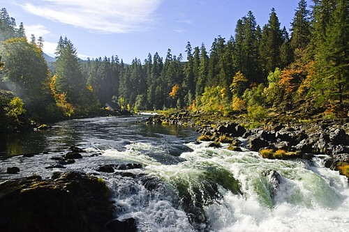
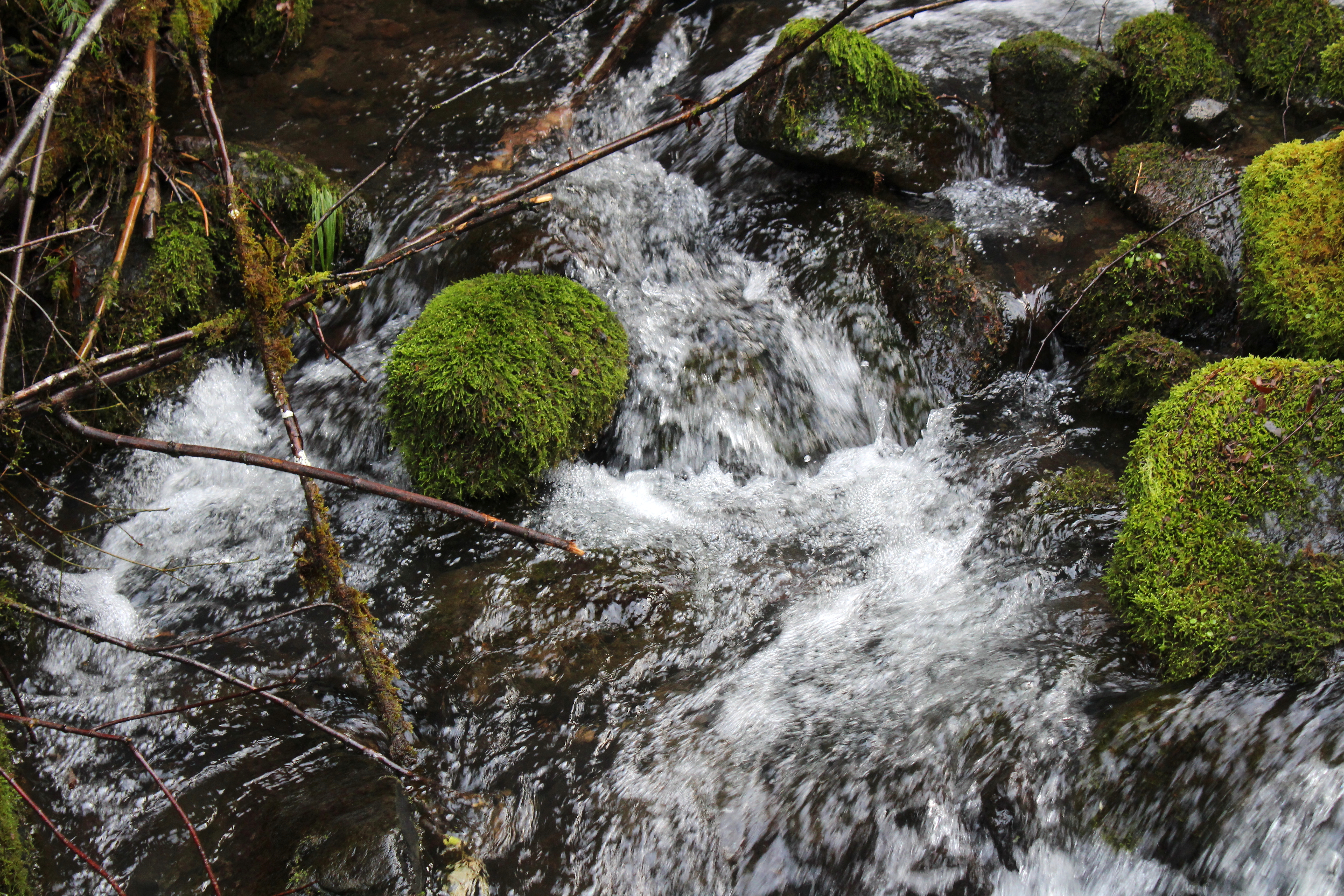
Water Rapids

Grotto Falls
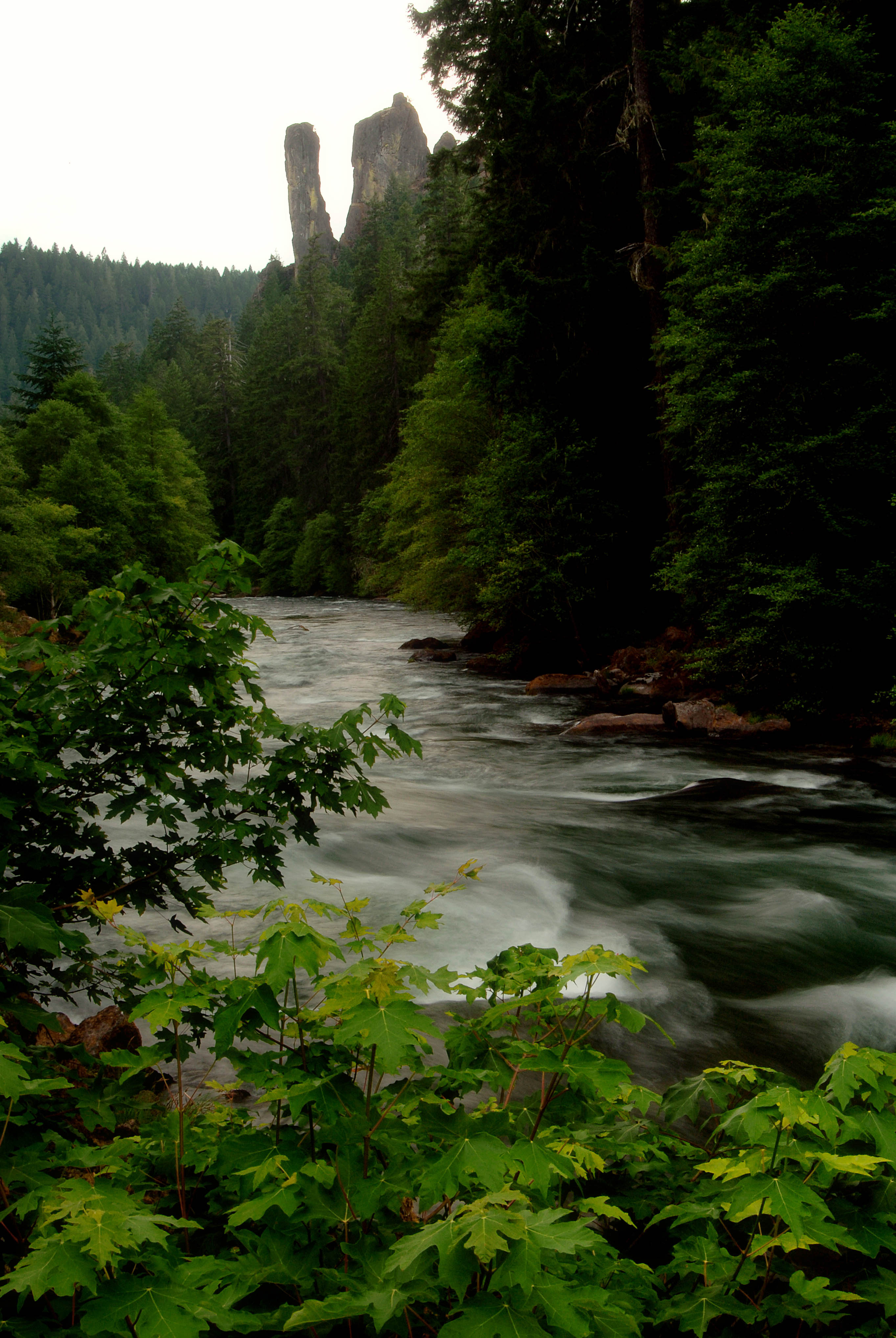
North Umpqua River and Rock Stacks-Umpqua
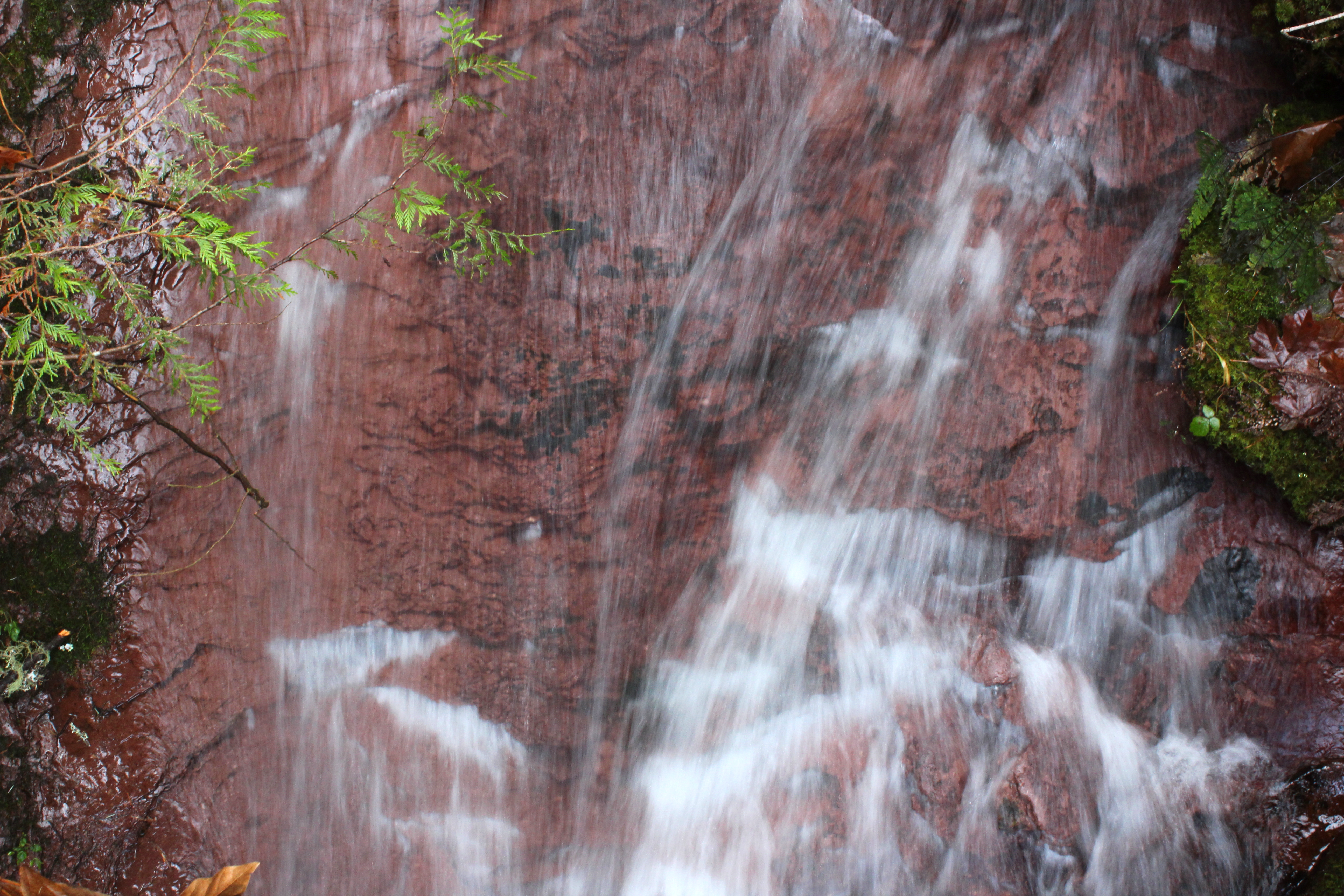
Deadline Falls a different view
North Umpqua River in Oregon
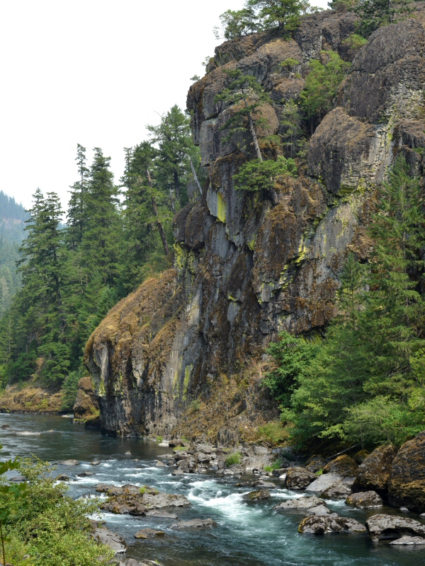
View down to the North Umpqua River
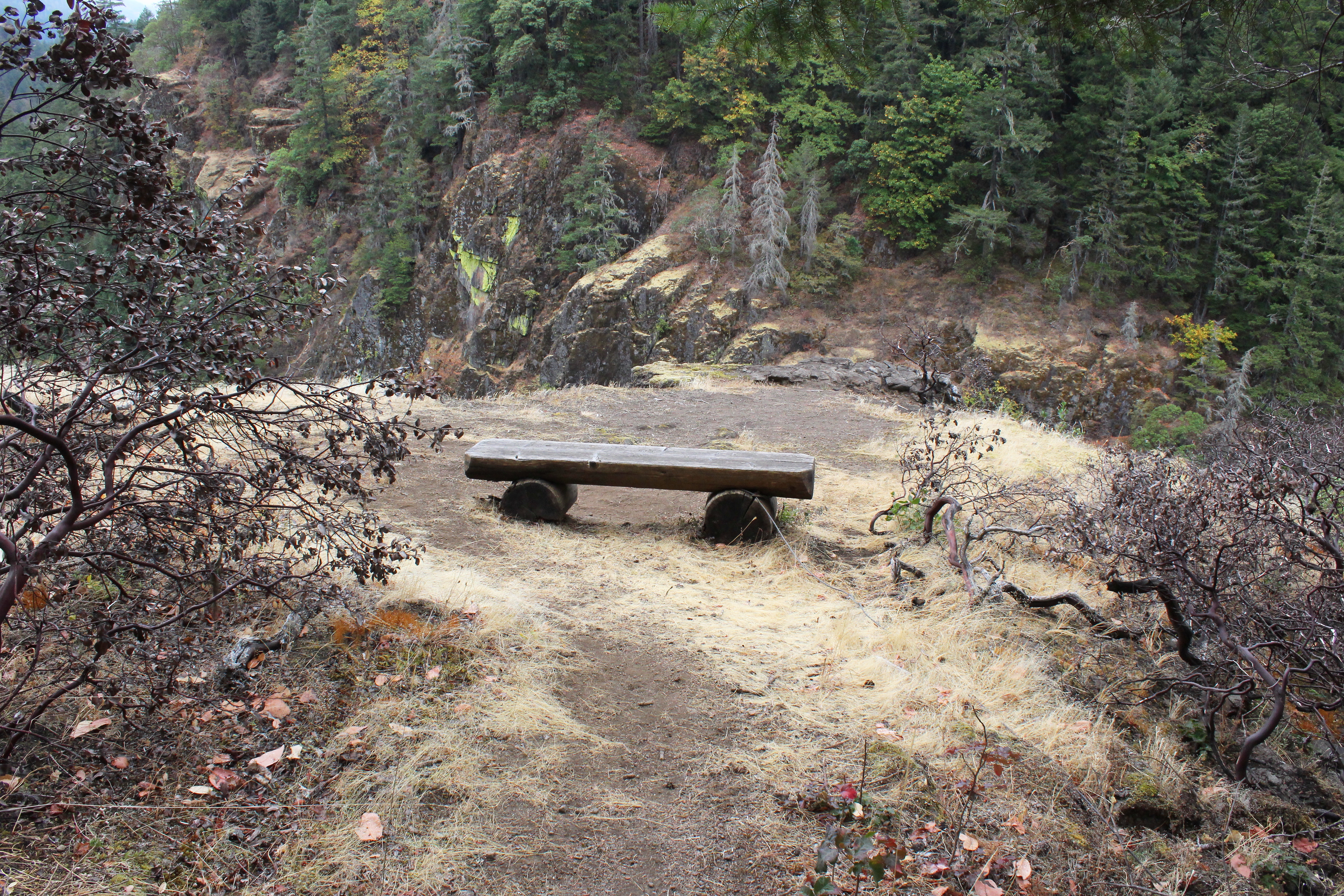
One of my favorite view points in all of Oregon
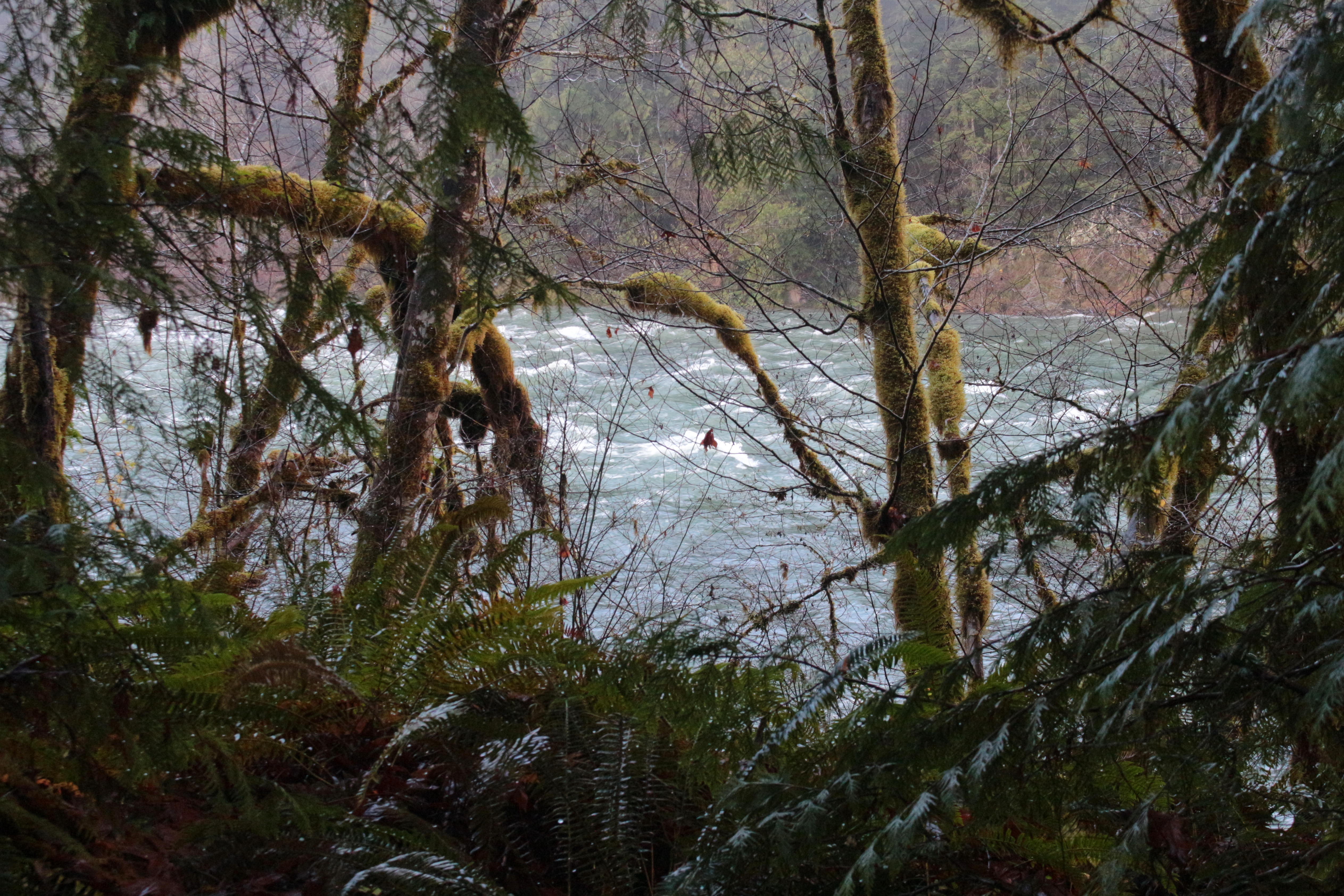
Partial view to the North Umpqua
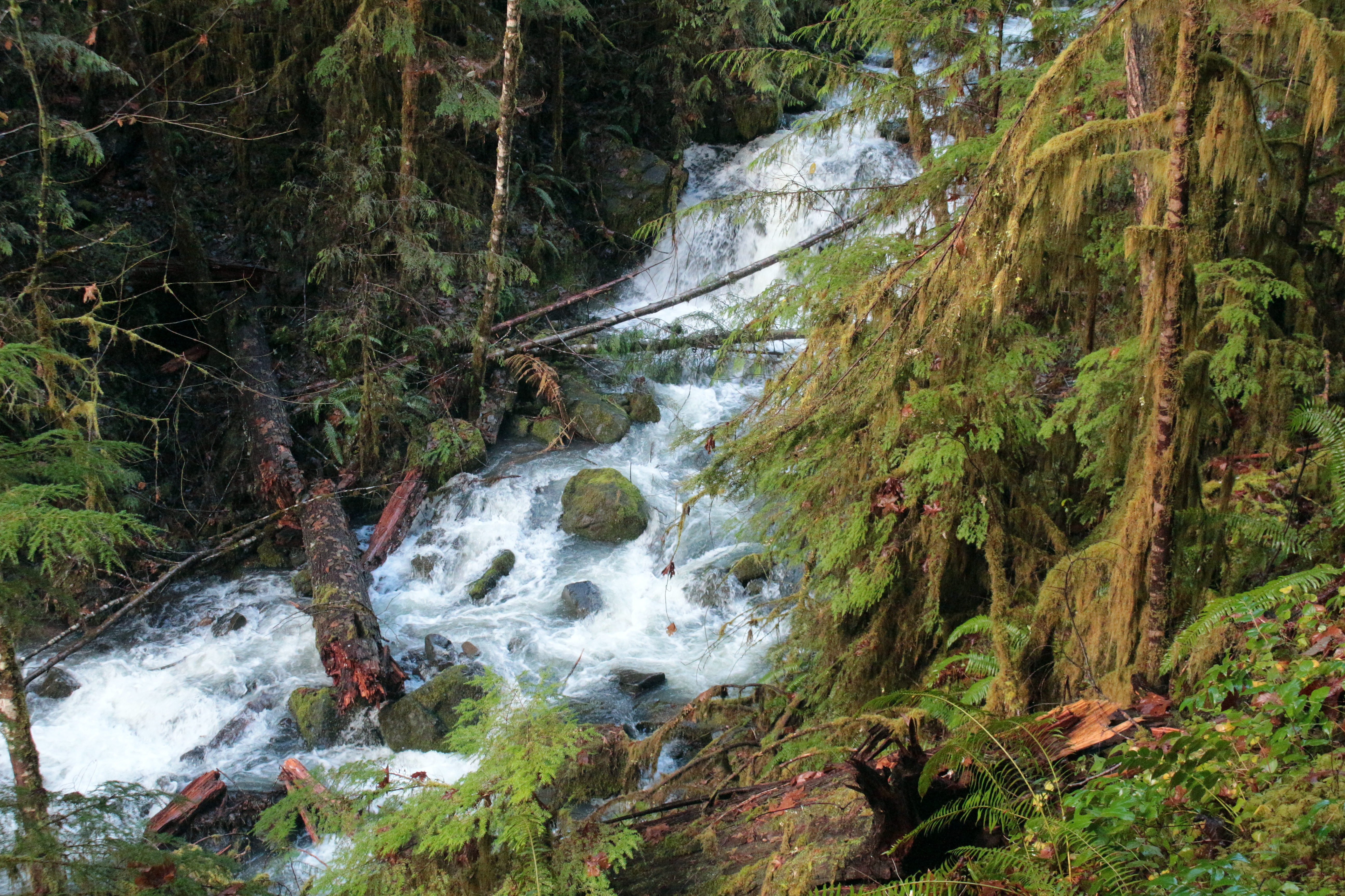
Fox Creek comes into view
Fox Creek whitewater

We enjoyed lunch and photography at Fox Creek
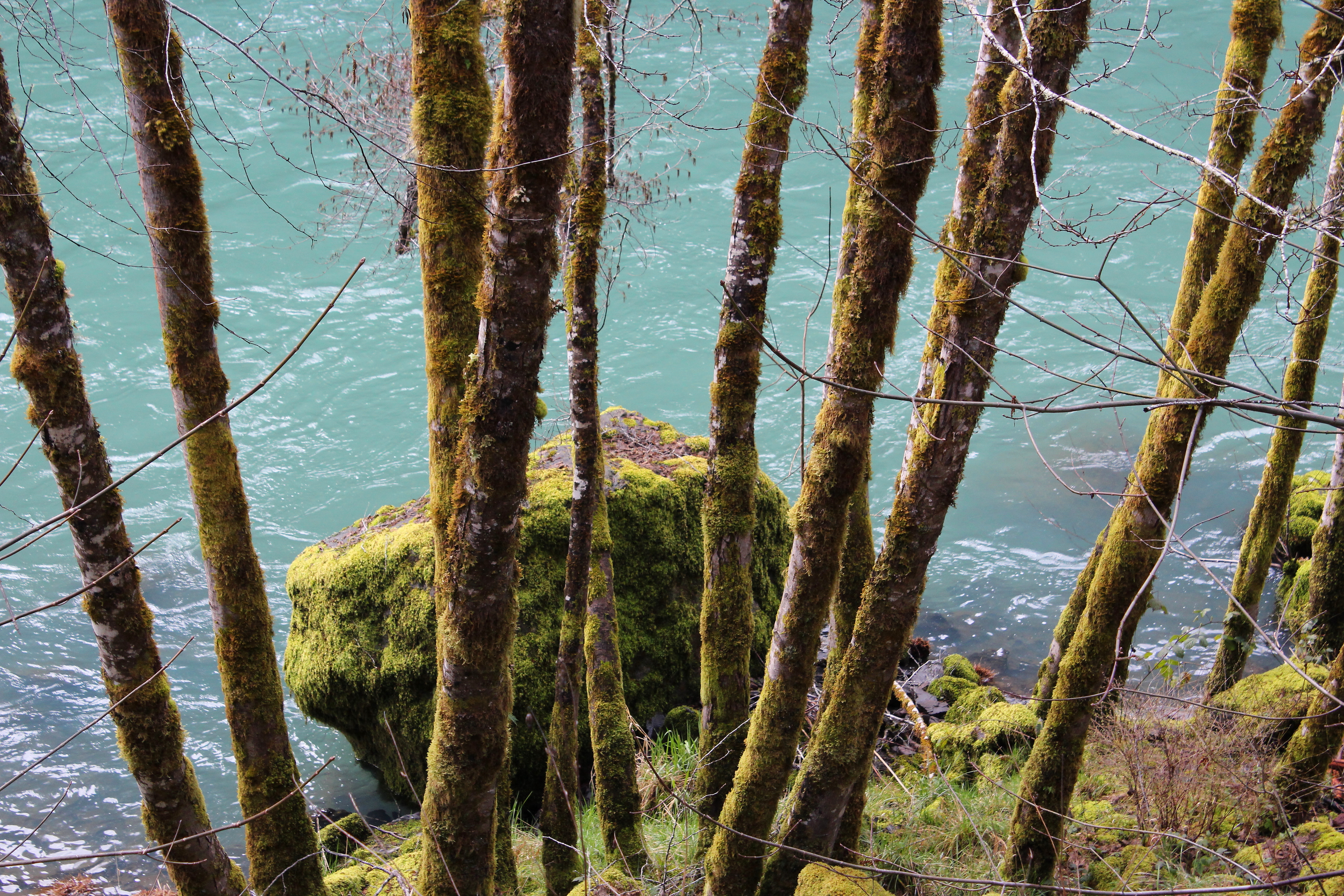
Still life with moss, rocks, and Fox Creek
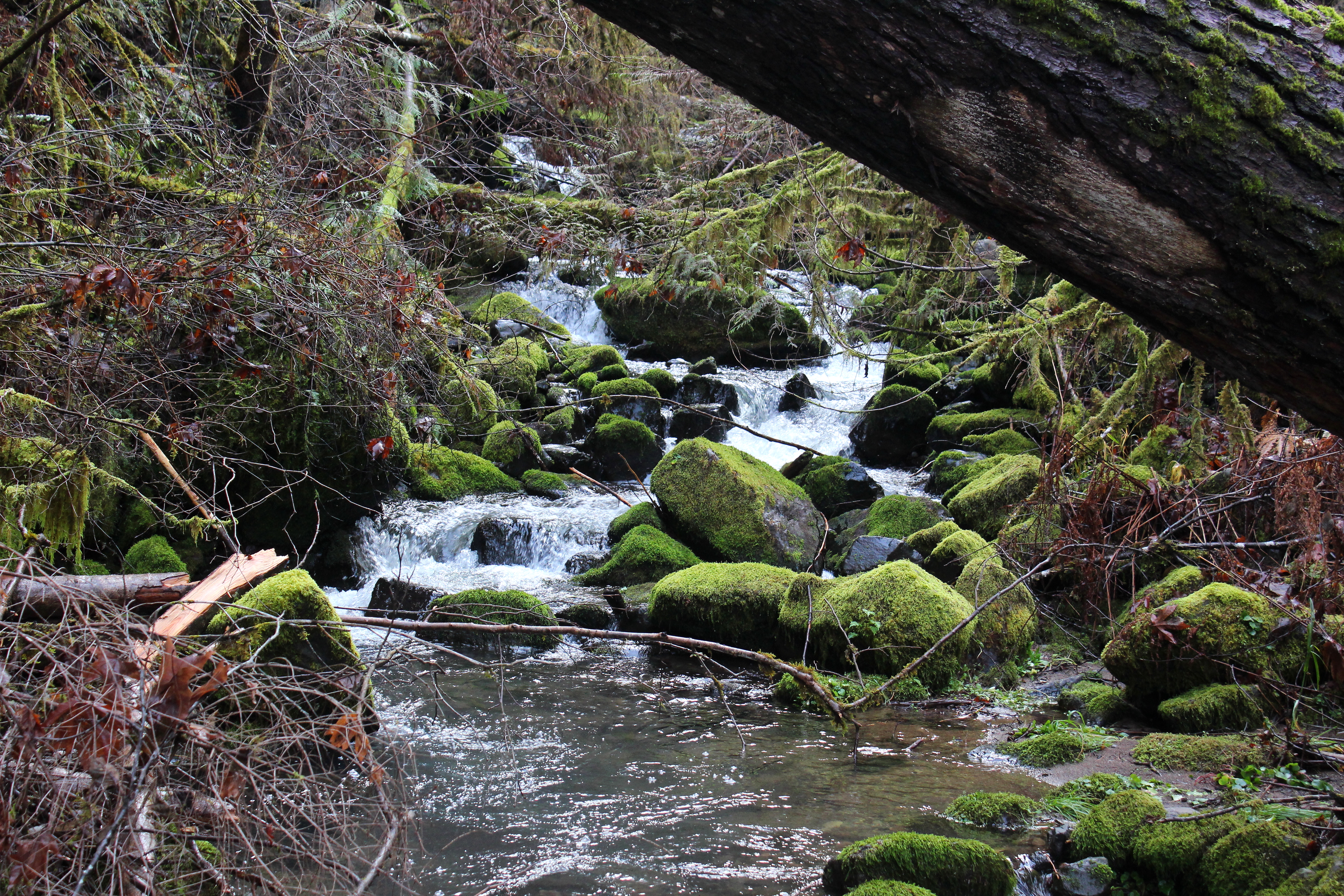
Fox Creek stair-steps down towards the North Umpqua River
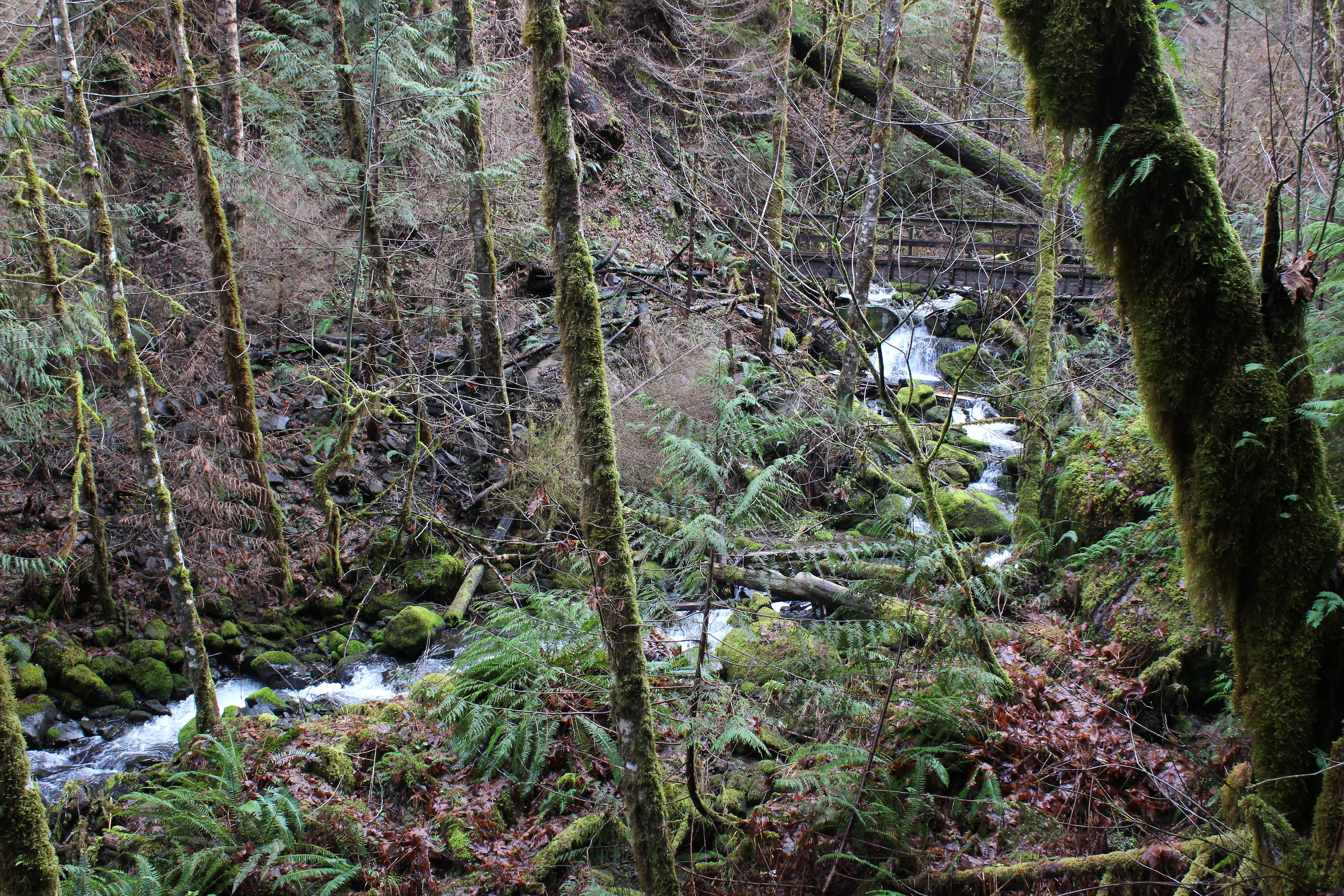
Fox Creek, as we hiked away from it
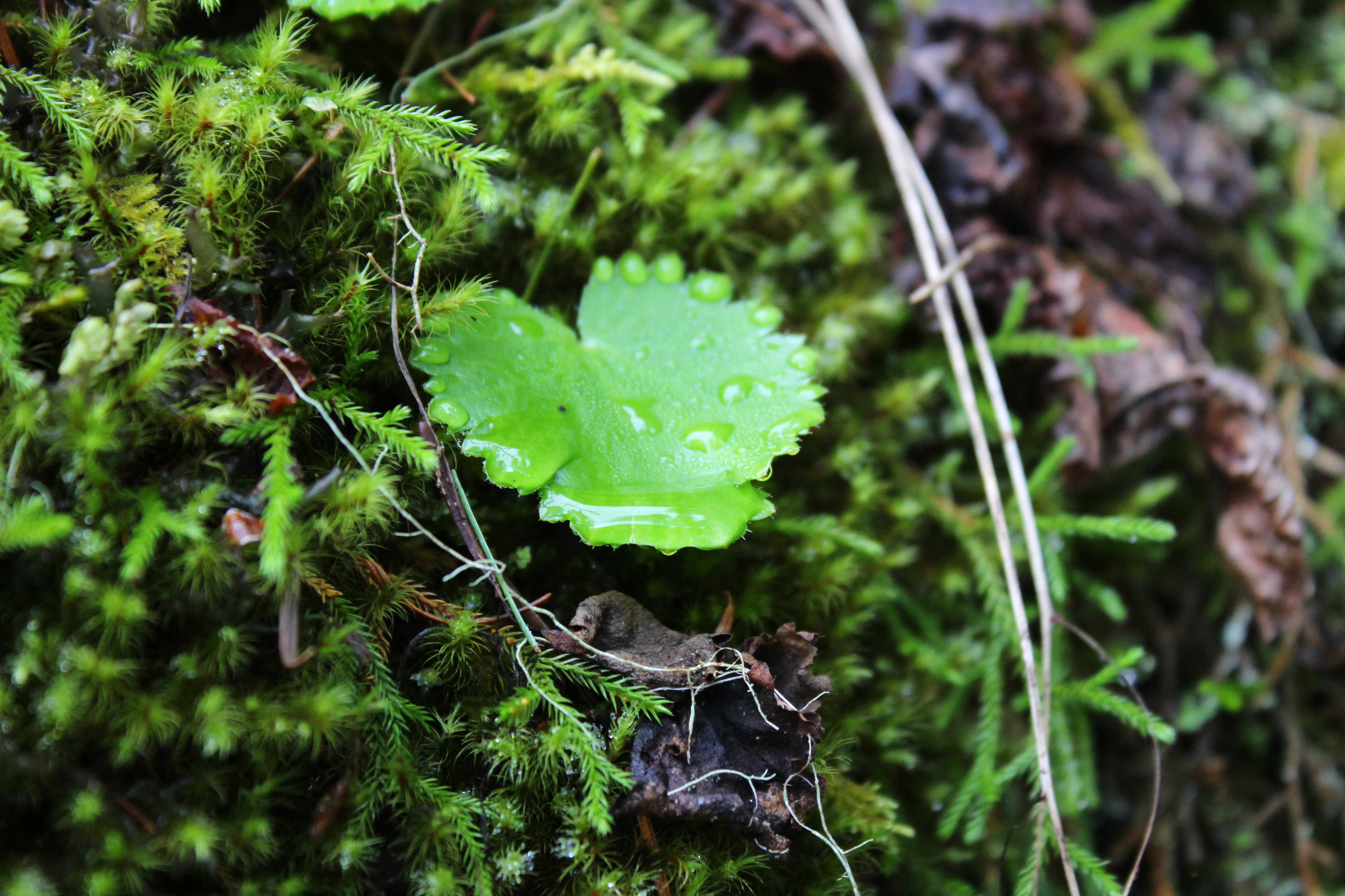
Some of that river mist condensed on a leaf
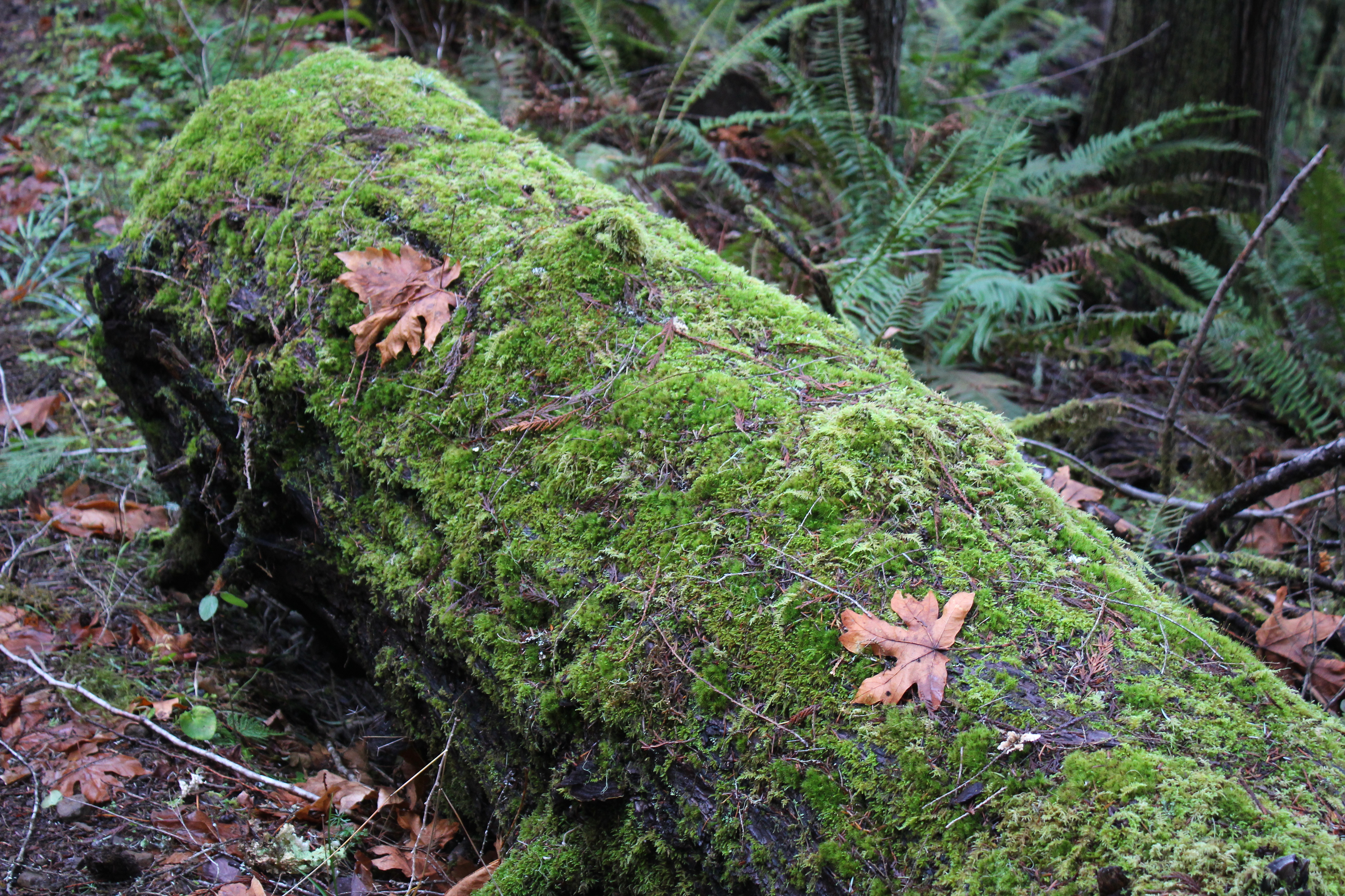
Moss lays claim to a log
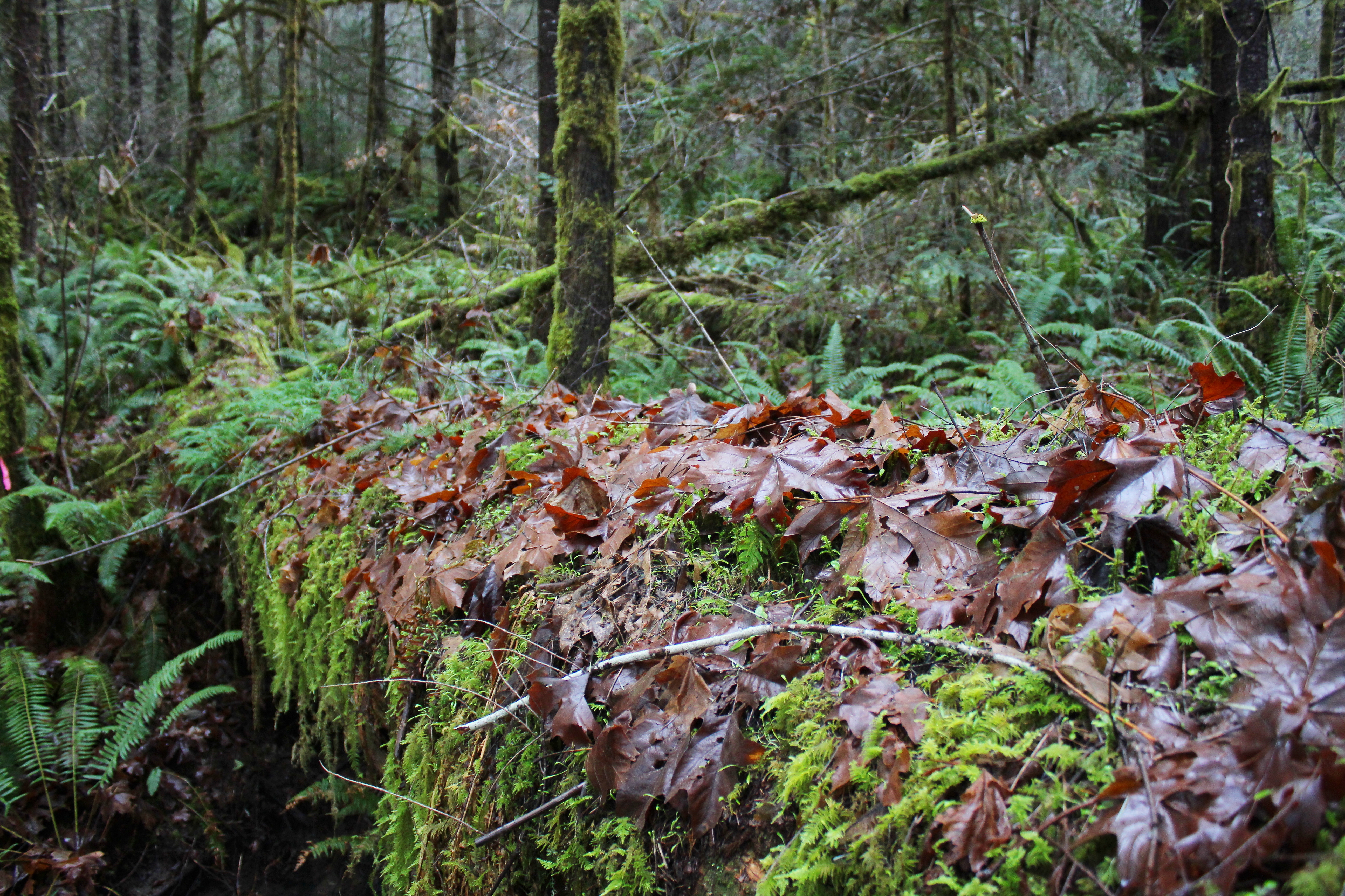
You see a lot of this in a burn zone
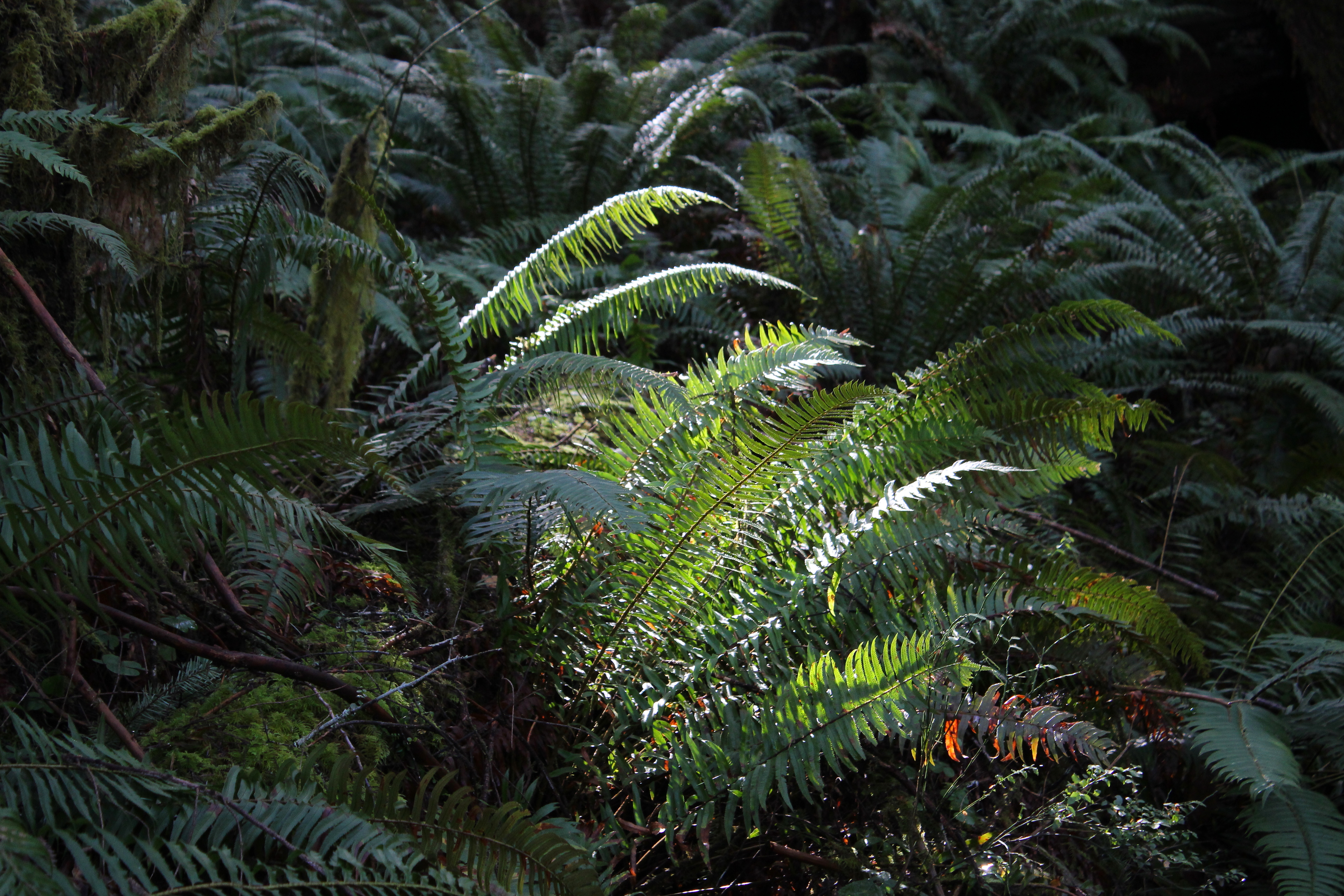
At least one fern gets a sun tan
Zen moment on a fallen log
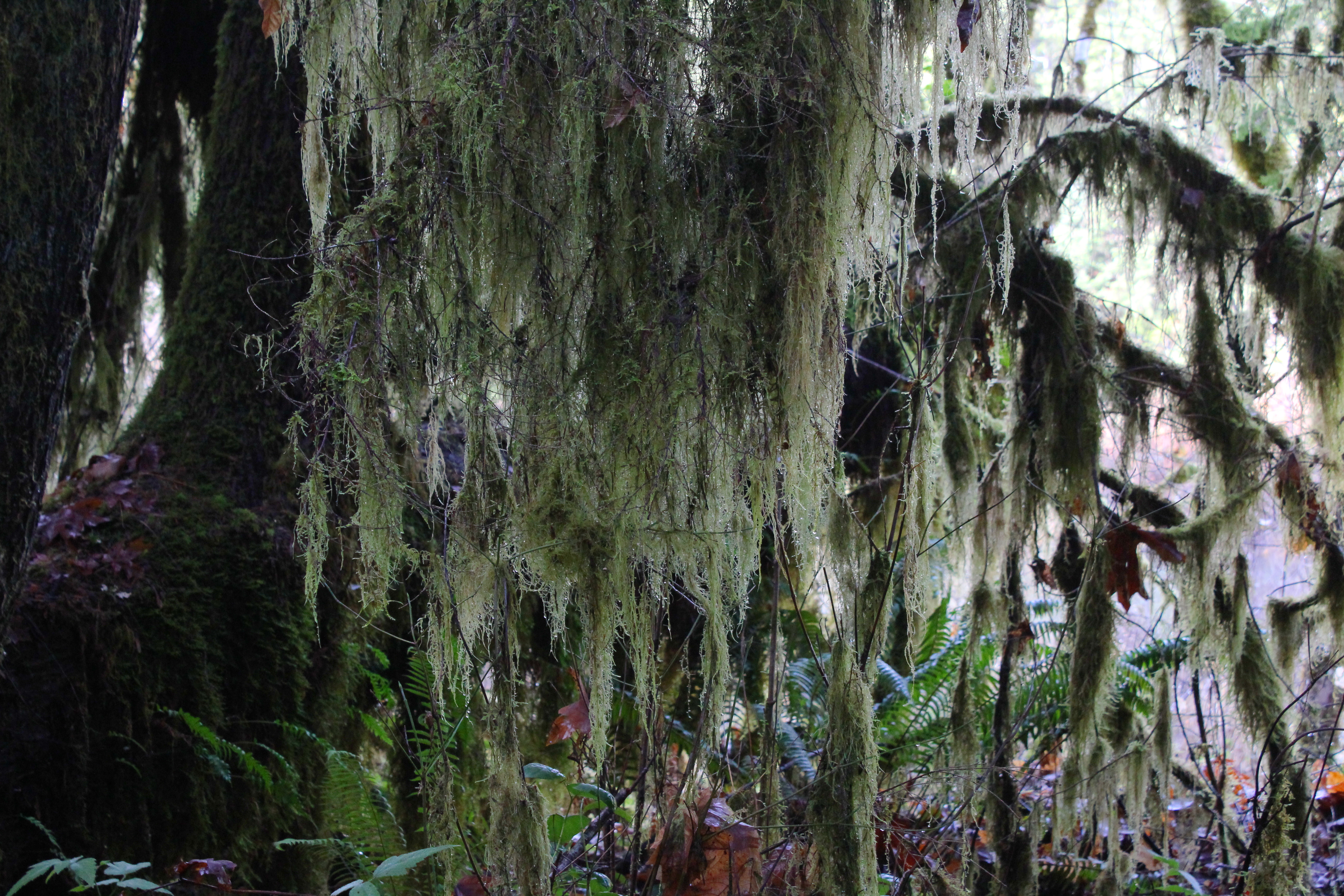
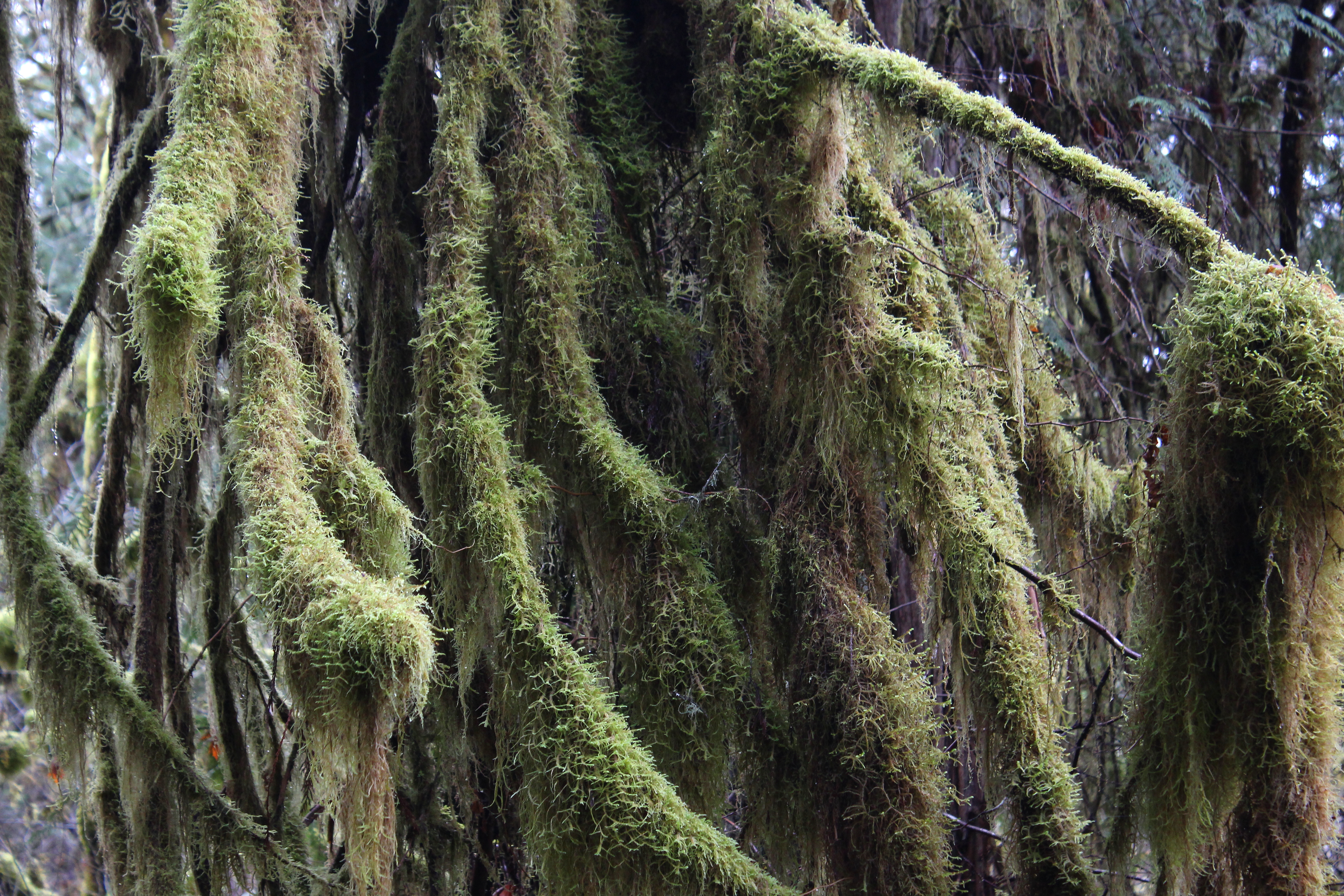
Lichen (Methuselahs beard) hung from the trees
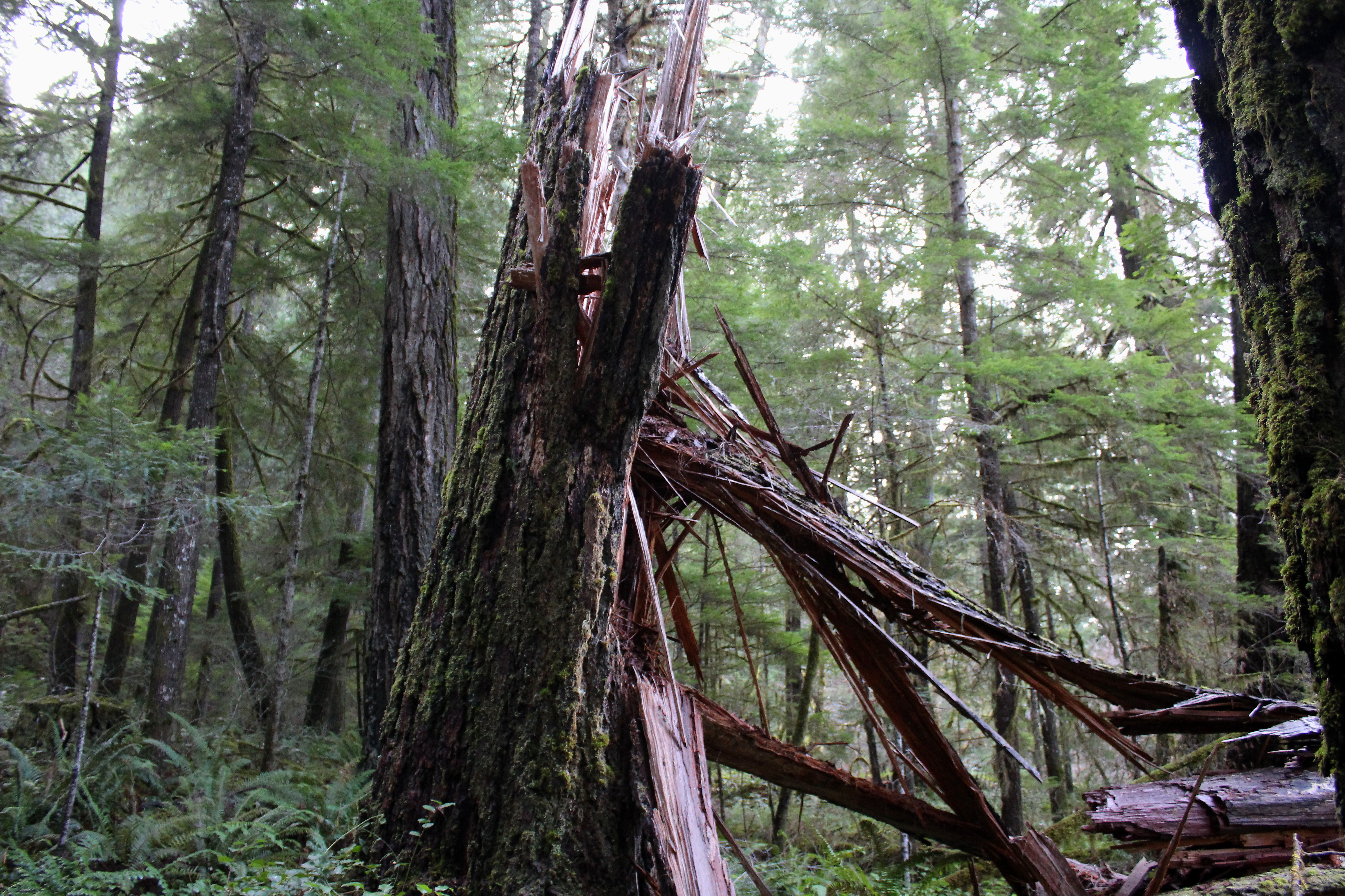
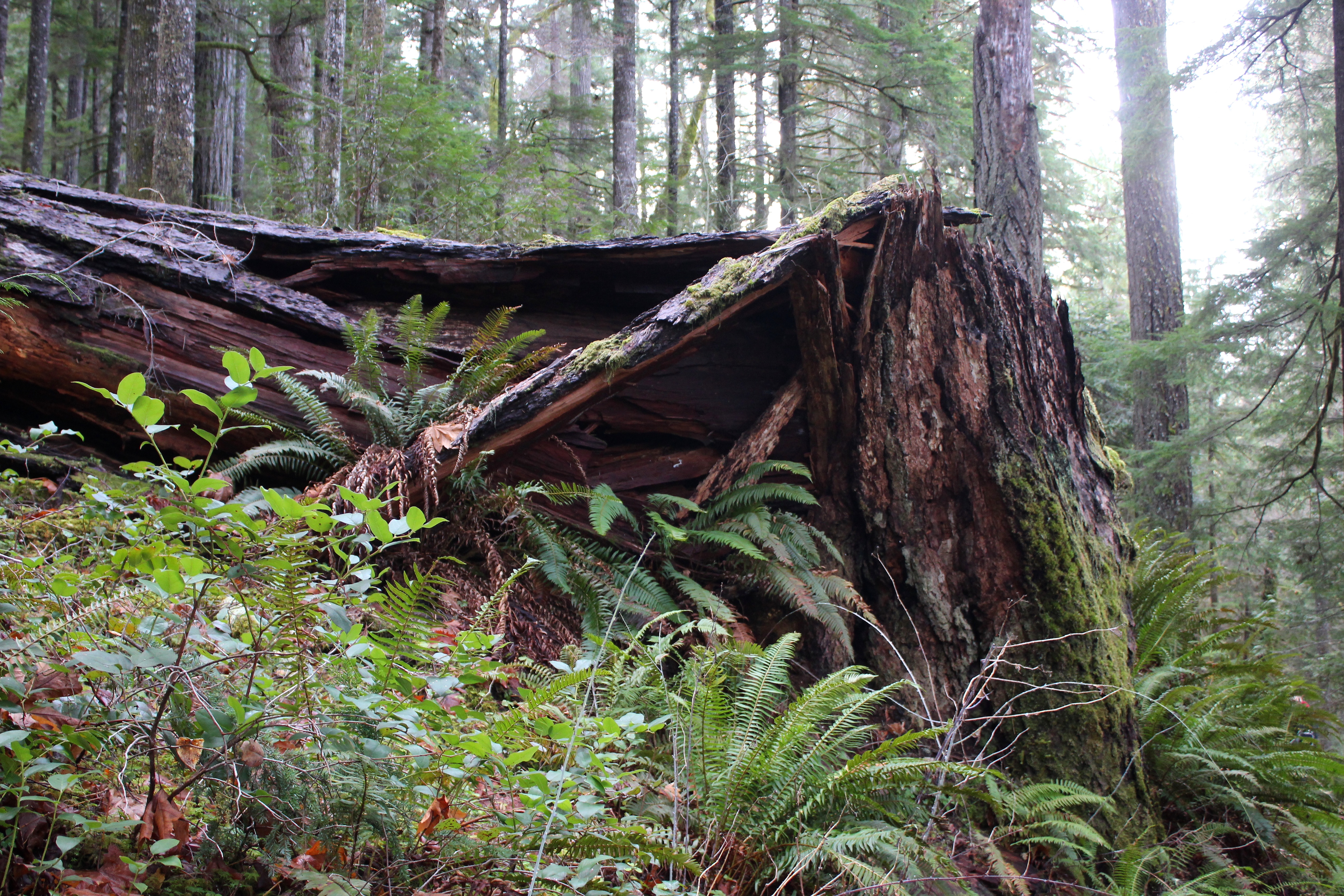
So glad the trees fell before we hiked and not during

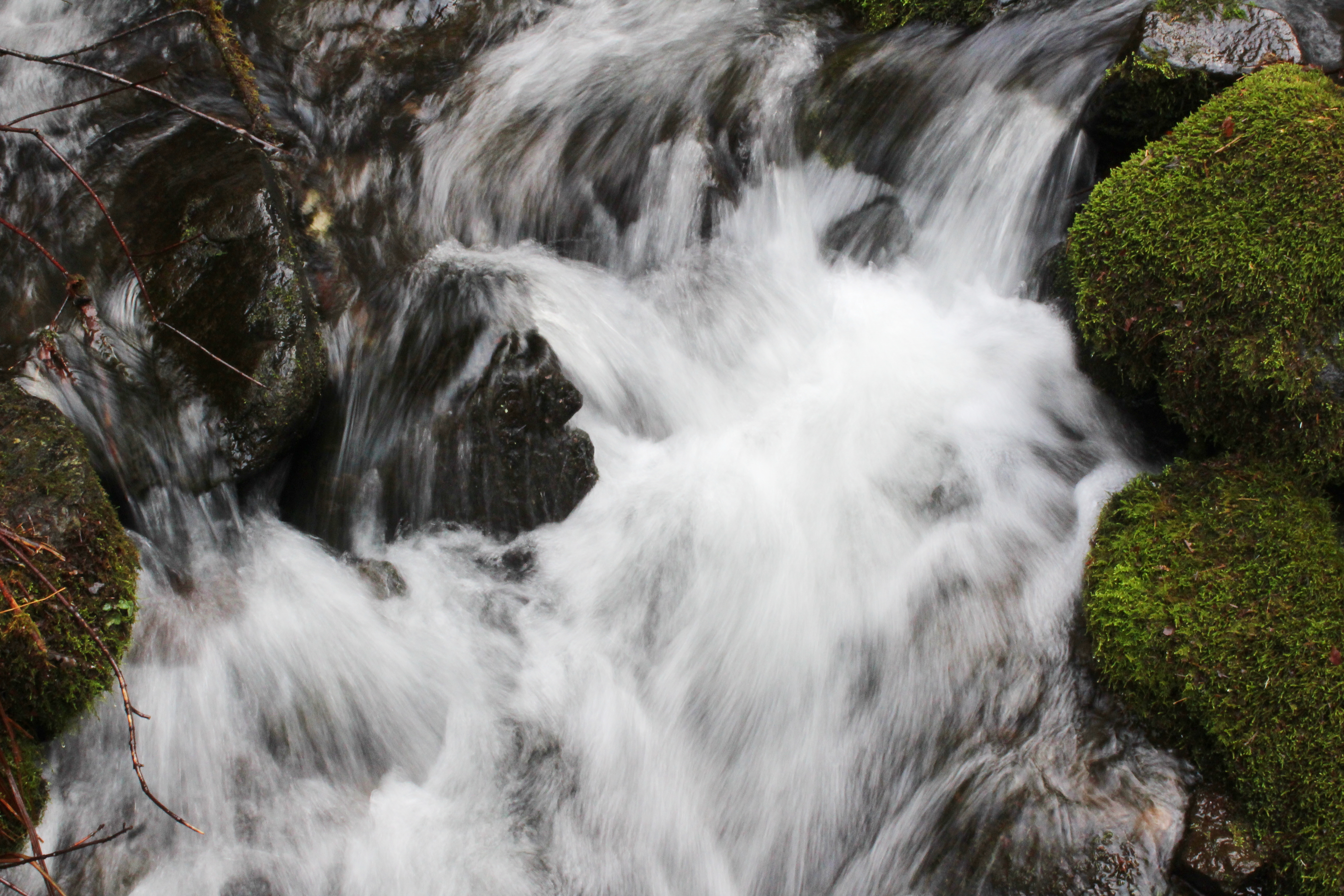
A small creek slides down a rock
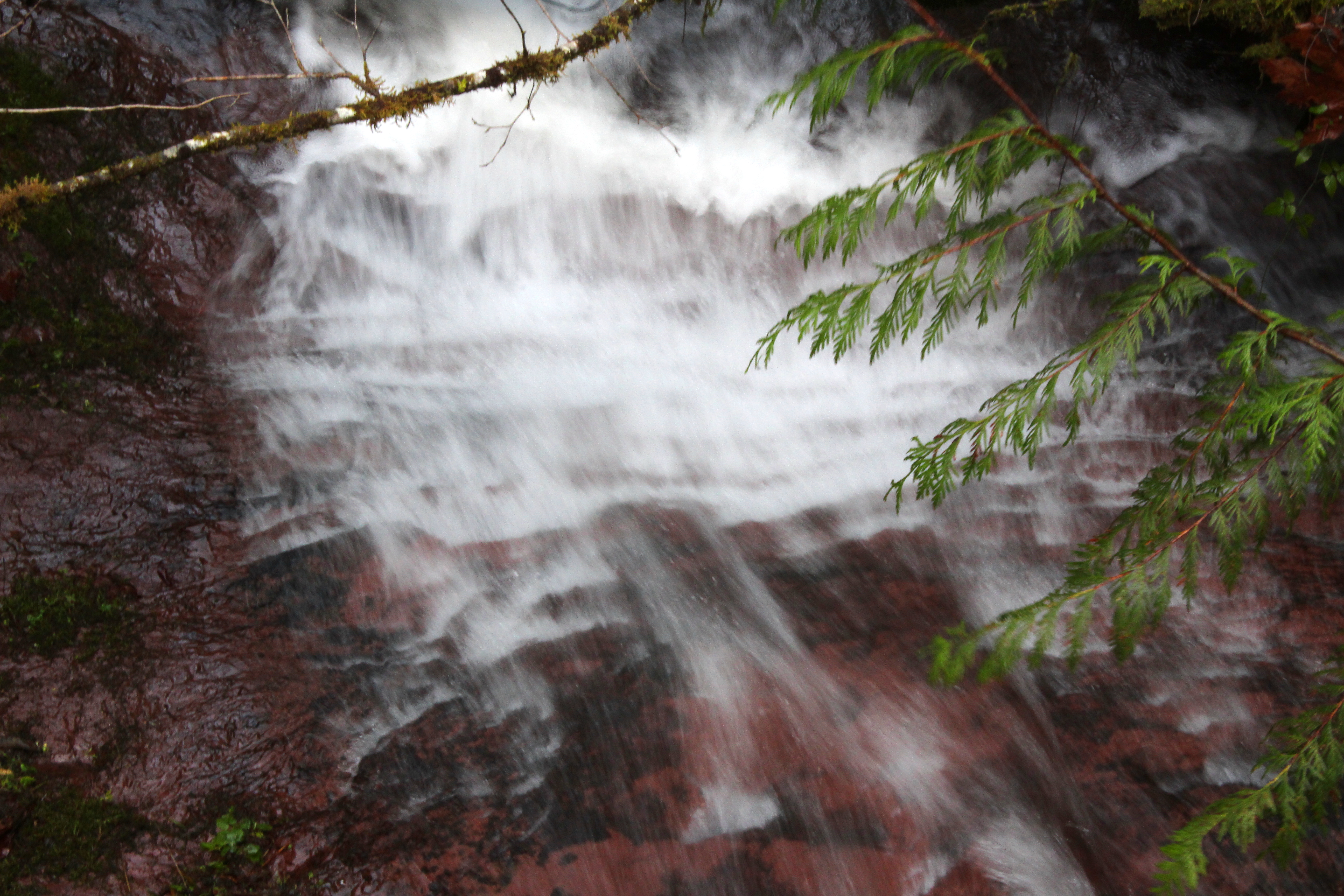
Slow shot of the creek slide
A nameless creek, on its way to the river
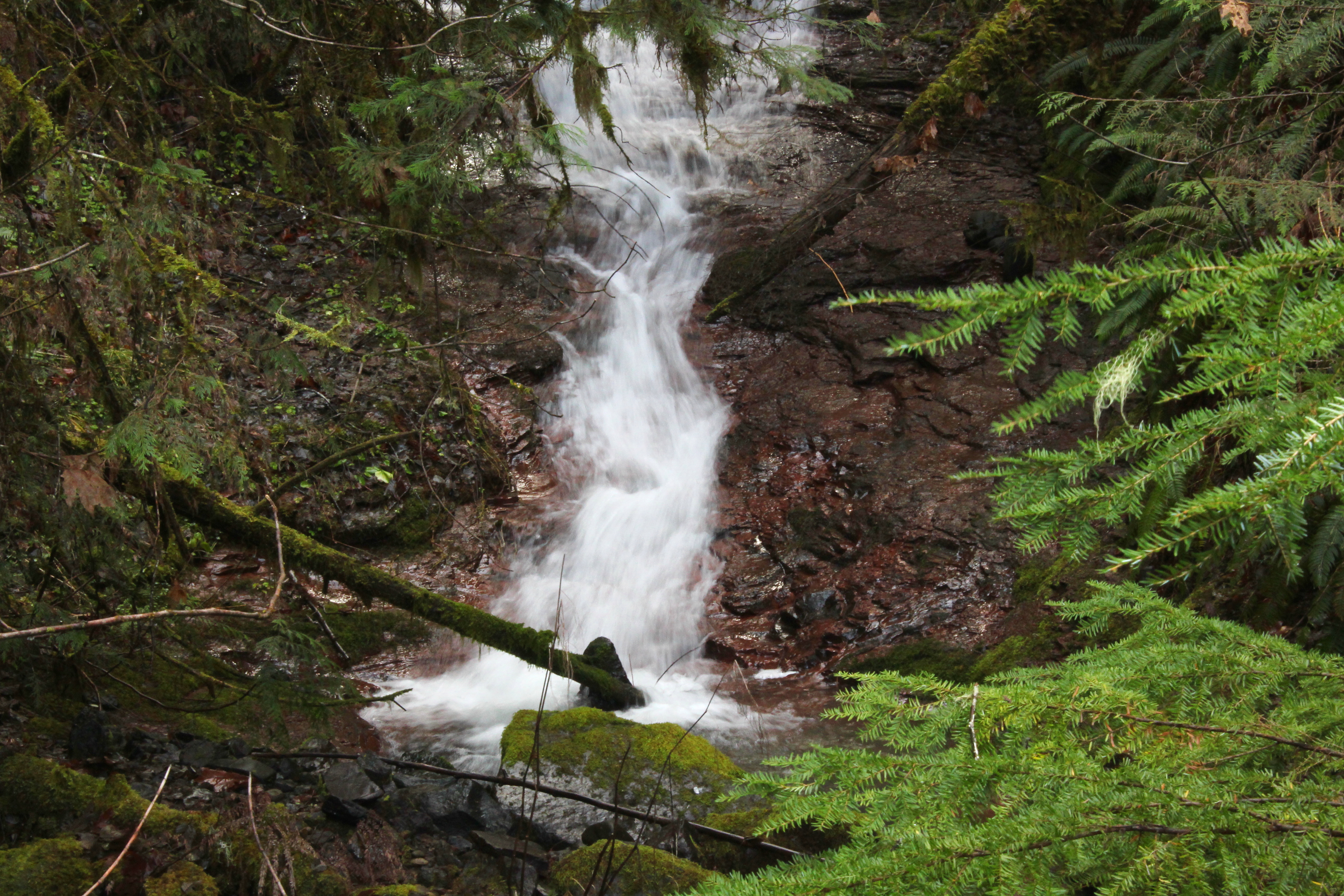
Small waterfall on a small creek
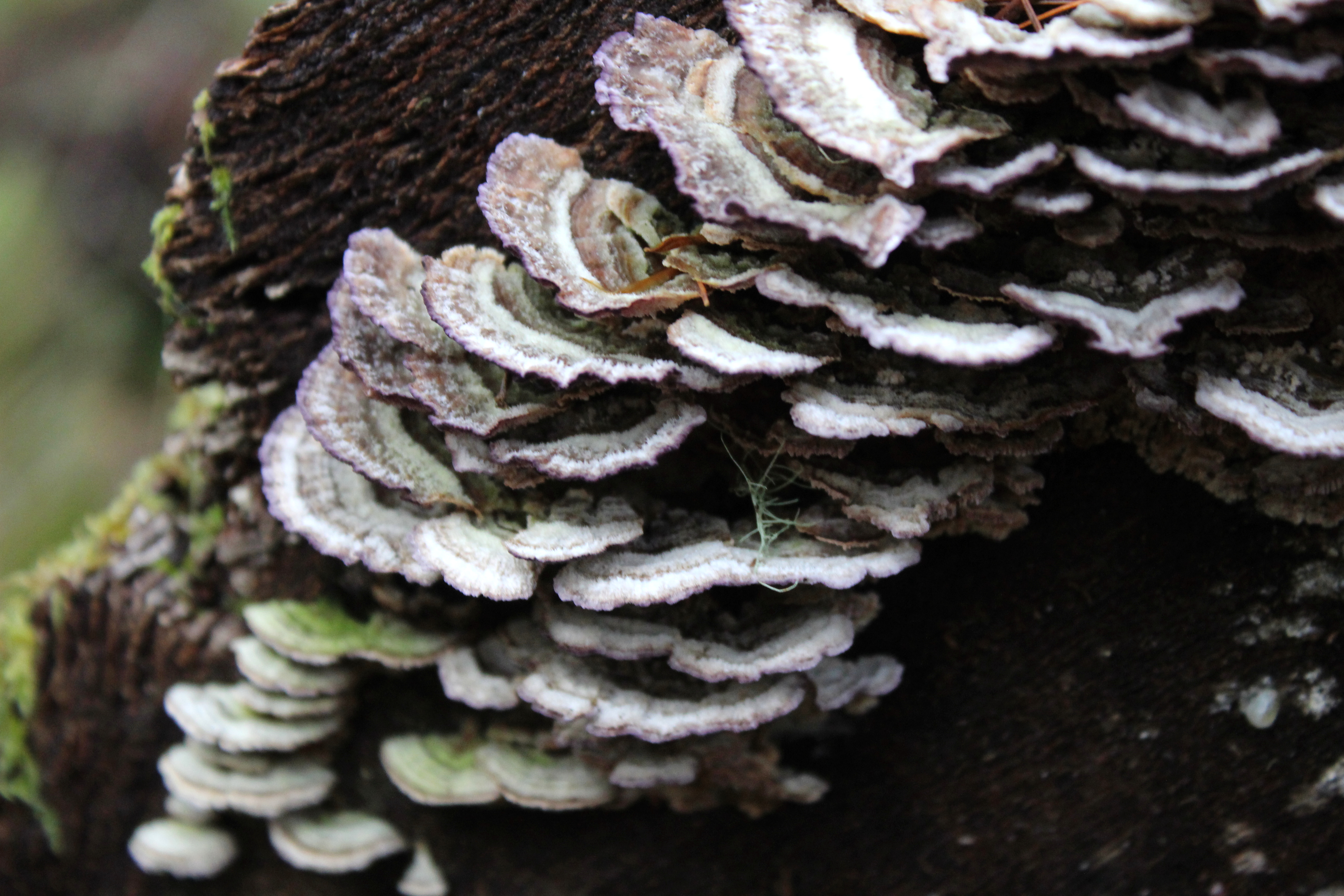
Turkeytails festoon a log
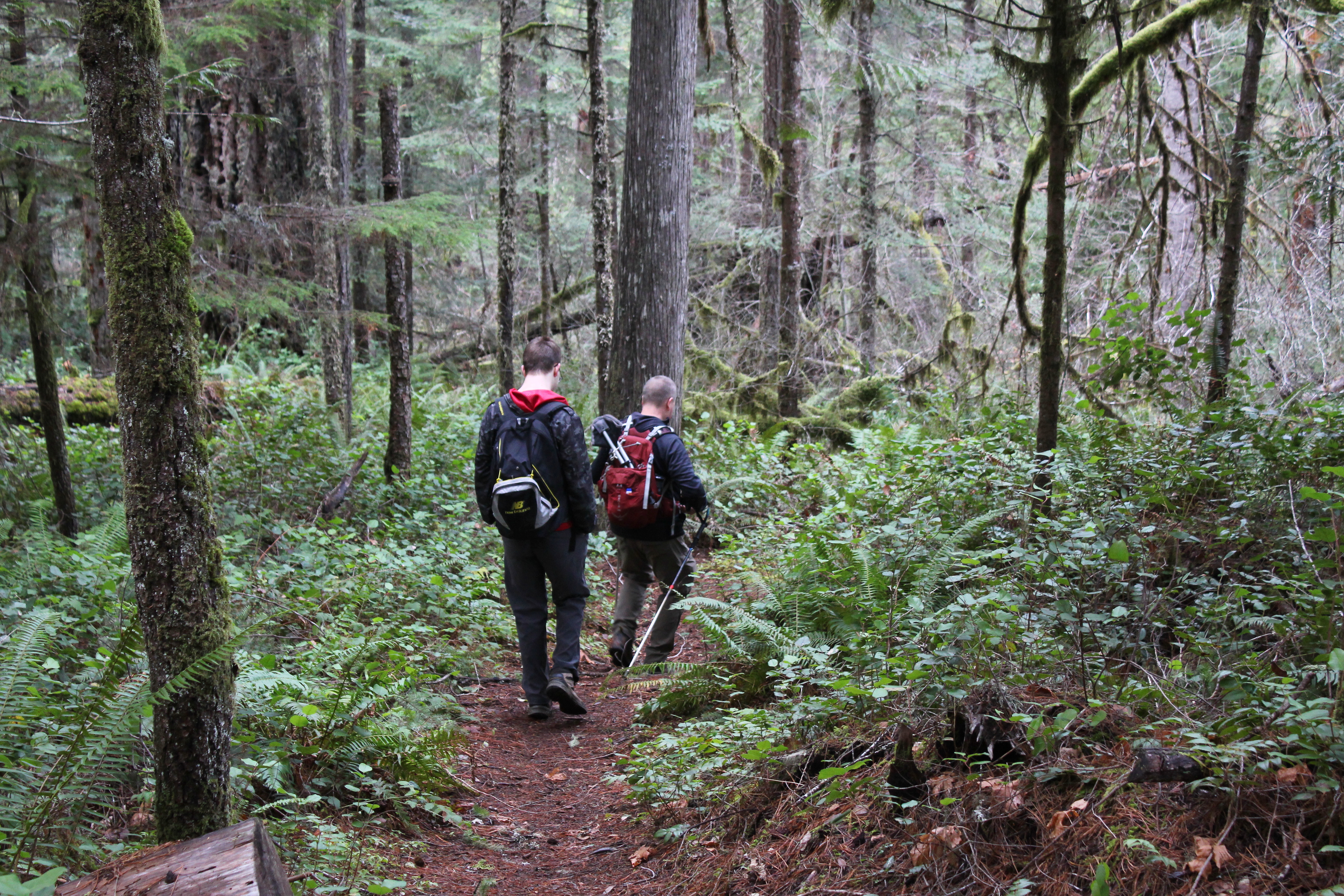
After a steep climb, it was a steep drop down to the river
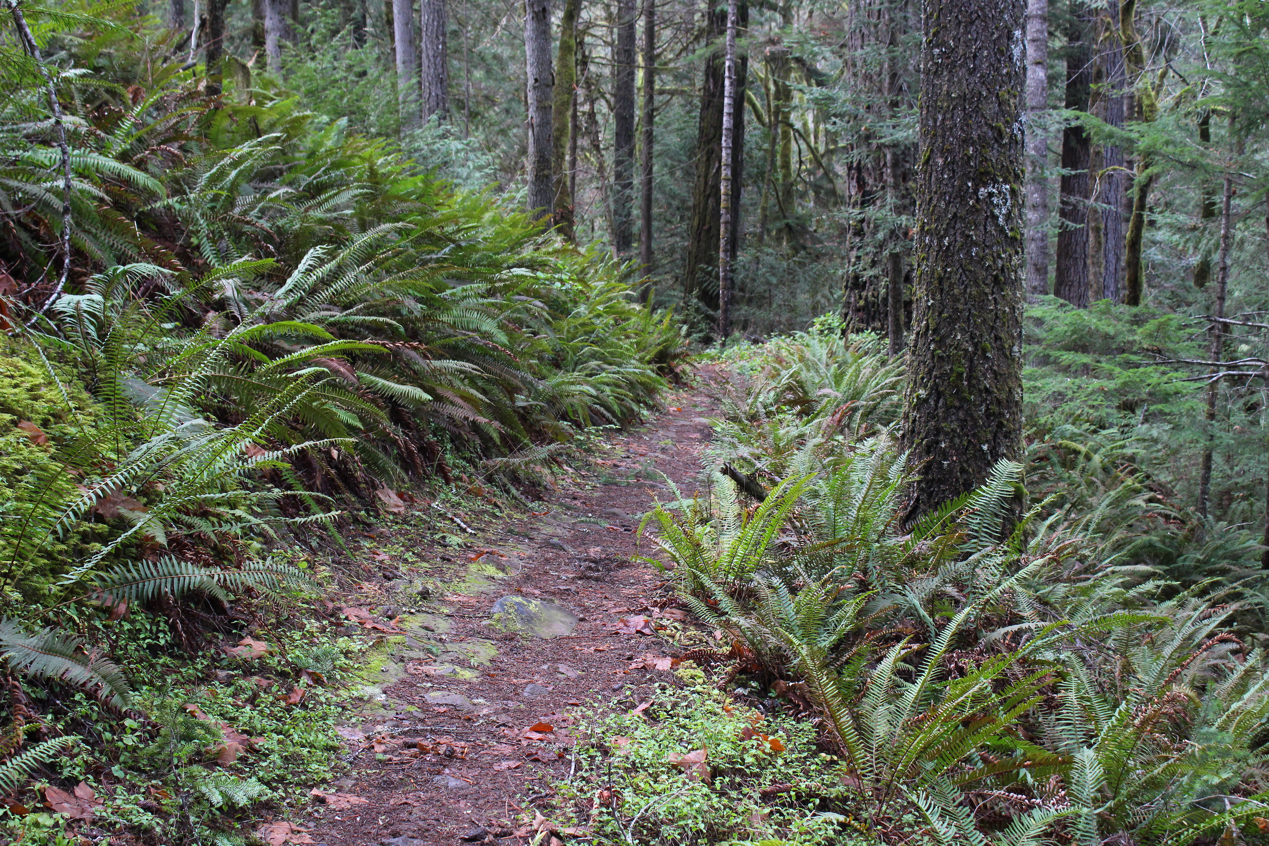
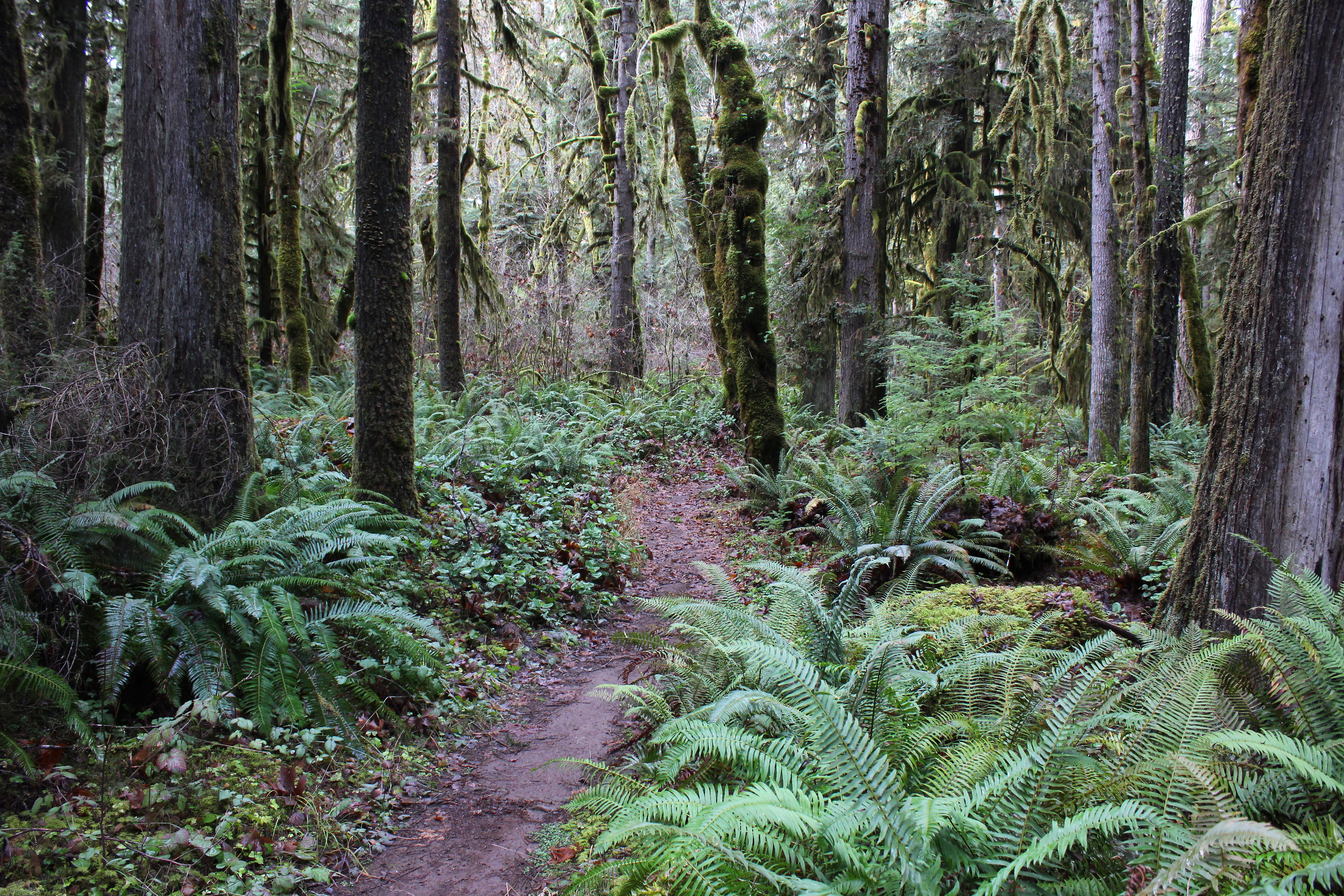
Trail through the fernage
Seems we hiked out of the burned area
Moss is all over a tree
Susan Creek Falls, Oregon, USA Karte
Suchen Sie einen anderen Ort
Nahe Plätze
Susan Creek Campground, N Umpqa Hwy, Roseburg, OR, USA
Fall Creek Falls, Idleyld Park, OR, USA
Fern Falls, -, Rogue-Umpqua Scenic Byway, Idleyld Park, OR, USA
Idleyld Park, Glide, OR, USA
Little River Rd, Glide, OR, USA
Peel, OR, USA
Glide, OR, USA
Hawthorne, OR, USA
N Myrtle Rd, Myrtle Creek, OR, USA
Black Butte, OR, USA
N Bank Rd, Roseburg, OR, USA
Slim Chance Campground, Idleyld Park, OR, Vereinigte Staaten
Marilyn St, Roseburg, OR, USA
Boulder Flat Campground, N Umpqua Hwy, Roseburg, OR, USA
Cattle Dr, Roseburg, OR, USA
Dixonville, OR, USA
Echo Dr, Roseburg, OR, USA
Hatfield Dr, Roseburg, OR, USA
S Umpqua Rd, Tiller, OR, USA
Roseburg, Oregon, USA
Letzte Suche
- 大下港, Sekizenoge, Imabari, Präfektur Ehime -, Japan Sonnenaufgang Sonnenuntergang Zeiten
- Oge port Ferry Terminal, -1 Sekizenōge, Imabari, Ehime -, Japan Sonnenaufgang Sonnenuntergang Zeiten
- San Telmo, Autonomen Stadt Buenos Aires, Argentinien Sonnenaufgang Sonnenuntergang Zeiten
- Congressional Dr, Stevensville, MD, USA Sonnenaufgang Sonnenuntergang Zeiten
- Papingo 04, Griechenland Sonnenaufgang Sonnenuntergang Zeiten
- Pagonija rock, Kranto 7-oji g. 8"N, Kaunas, Litauen Sonnenaufgang Sonnenuntergang Zeiten
- Co Rd 87, Jamestown, CO, USA Sonnenaufgang Sonnenuntergang Zeiten
- Tenjo, Cundinamarca, Colombia Sonnenaufgang Sonnenuntergang Zeiten
- -1 Gosho, Ichihara, Chiba -, Japan Sonnenaufgang Sonnenuntergang Zeiten
- -, Japan Sonnenaufgang Sonnenuntergang Zeiten