Main St, Hornbrook, CA アメリカ合衆国日の出日の入り時間
Location: アメリカ合衆国 > カリフォルニア州 > シスキュー > アメリカ合衆国 〒 カリフォルニア州 ホーンブルック >
時間帯:
America/Los_Angeles
現地時間:
2024-04-27 07:21:33
経度:
-122.562021
緯度:
41.901854
今日の日の出時刻:
06:10:14 AM
今日の日の入時刻:
08:05:15 PM
今日の日長:
13h 55m 1s
明日の日の出時刻:
06:08:51 AM
明日の日の入時刻:
08:06:21 PM
明日の日長:
13h 57m 30s
すべて表示する
| 日付 | 日出 | 日没 | 日長 |
|---|---|---|---|
| 2024年01月01日 | 07:37:56 AM | 04:50:19 PM | 9h 12m 23s |
| 2024年01月02日 | 07:37:59 AM | 04:51:12 PM | 9h 13m 13s |
| 2024年01月03日 | 07:37:59 AM | 04:52:06 PM | 9h 14m 7s |
| 2024年01月04日 | 07:37:57 AM | 04:53:03 PM | 9h 15m 6s |
| 2024年01月05日 | 07:37:52 AM | 04:54:00 PM | 9h 16m 8s |
| 2024年01月06日 | 07:37:46 AM | 04:54:59 PM | 9h 17m 13s |
| 2024年01月07日 | 07:37:37 AM | 04:56:00 PM | 9h 18m 23s |
| 2024年01月08日 | 07:37:25 AM | 04:57:01 PM | 9h 19m 36s |
| 2024年01月09日 | 07:37:11 AM | 04:58:04 PM | 9h 20m 53s |
| 2024年01月10日 | 07:36:55 AM | 04:59:09 PM | 9h 22m 14s |
| 2024年01月11日 | 07:36:37 AM | 05:00:14 PM | 9h 23m 37s |
| 2024年01月12日 | 07:36:16 AM | 05:01:20 PM | 9h 25m 4s |
| 2024年01月13日 | 07:35:53 AM | 05:02:28 PM | 9h 26m 35s |
| 2024年01月14日 | 07:35:28 AM | 05:03:36 PM | 9h 28m 8s |
| 2024年01月15日 | 07:35:00 AM | 05:04:46 PM | 9h 29m 46s |
| 2024年01月16日 | 07:34:30 AM | 05:05:56 PM | 9h 31m 26s |
| 2024年01月17日 | 07:33:58 AM | 05:07:07 PM | 9h 33m 9s |
| 2024年01月18日 | 07:33:24 AM | 05:08:18 PM | 9h 34m 54s |
| 2024年01月19日 | 07:32:48 AM | 05:09:31 PM | 9h 36m 43s |
| 2024年01月20日 | 07:32:09 AM | 05:10:44 PM | 9h 38m 35s |
| 2024年01月21日 | 07:31:29 AM | 05:11:58 PM | 9h 40m 29s |
| 2024年01月22日 | 07:30:46 AM | 05:13:12 PM | 9h 42m 26s |
| 2024年01月23日 | 07:30:02 AM | 05:14:26 PM | 9h 44m 24s |
| 2024年01月24日 | 07:29:15 AM | 05:15:42 PM | 9h 46m 27s |
| 2024年01月25日 | 07:28:26 AM | 05:16:57 PM | 9h 48m 31s |
| 2024年01月26日 | 07:27:36 AM | 05:18:13 PM | 9h 50m 37s |
| 2024年01月27日 | 07:26:43 AM | 05:19:29 PM | 9h 52m 46s |
| 2024年01月28日 | 07:25:49 AM | 05:20:45 PM | 9h 54m 56s |
| 2024年01月29日 | 07:24:52 AM | 05:22:02 PM | 9h 57m 10s |
| 2024年01月30日 | 07:23:54 AM | 05:23:19 PM | 9h 59m 25s |
| 2024年01月31日 | 07:22:55 AM | 05:24:36 PM | 10h 1m 41s |
| 2024年02月01日 | 07:21:53 AM | 05:25:53 PM | 10h 4m 0s |
| 2024年02月02日 | 07:20:50 AM | 05:27:10 PM | 10h 6m 20s |
| 2024年02月03日 | 07:19:45 AM | 05:28:27 PM | 10h 8m 42s |
| 2024年02月04日 | 07:18:38 AM | 05:29:44 PM | 10h 11m 6s |
| 2024年02月05日 | 07:17:30 AM | 05:31:01 PM | 10h 13m 31s |
| 2024年02月06日 | 07:16:20 AM | 05:32:18 PM | 10h 15m 58s |
| 2024年02月07日 | 07:15:09 AM | 05:33:35 PM | 10h 18m 26s |
| 2024年02月08日 | 07:13:57 AM | 05:34:52 PM | 10h 20m 55s |
| 2024年02月09日 | 07:12:42 AM | 05:36:09 PM | 10h 23m 27s |
| 2024年02月10日 | 07:11:27 AM | 05:37:26 PM | 10h 25m 59s |
| 2024年02月11日 | 07:10:10 AM | 05:38:42 PM | 10h 28m 32s |
| 2024年02月12日 | 07:08:52 AM | 05:39:59 PM | 10h 31m 7s |
| 2024年02月13日 | 07:07:32 AM | 05:41:15 PM | 10h 33m 43s |
| 2024年02月14日 | 07:06:11 AM | 05:42:31 PM | 10h 36m 20s |
| 2024年02月15日 | 07:04:49 AM | 05:43:46 PM | 10h 38m 57s |
| 2024年02月16日 | 07:03:26 AM | 05:45:02 PM | 10h 41m 36s |
| 2024年02月17日 | 07:02:02 AM | 05:46:17 PM | 10h 44m 15s |
| 2024年02月18日 | 07:00:36 AM | 05:47:32 PM | 10h 46m 56s |
| 2024年02月19日 | 06:59:10 AM | 05:48:46 PM | 10h 49m 36s |
| 2024年02月20日 | 06:57:42 AM | 05:50:01 PM | 10h 52m 19s |
| 2024年02月21日 | 06:56:14 AM | 05:51:15 PM | 10h 55m 1s |
| 2024年02月22日 | 06:54:44 AM | 05:52:29 PM | 10h 57m 45s |
| 2024年02月23日 | 06:53:14 AM | 05:53:42 PM | 11h 0m 28s |
| 2024年02月24日 | 06:51:42 AM | 05:54:55 PM | 11h 3m 13s |
| 2024年02月25日 | 06:50:10 AM | 05:56:08 PM | 11h 5m 58s |
| 2024年02月26日 | 06:48:37 AM | 05:57:21 PM | 11h 8m 44s |
| 2024年02月27日 | 06:47:03 AM | 05:58:33 PM | 11h 11m 30s |
| 2024年02月28日 | 06:45:29 AM | 05:59:45 PM | 11h 14m 16s |
| 2024年02月29日 | 06:43:53 AM | 06:00:57 PM | 11h 17m 4s |
| 2024年03月01日 | 06:42:17 AM | 06:02:08 PM | 11h 19m 51s |
| 2024年03月02日 | 06:40:41 AM | 06:03:20 PM | 11h 22m 39s |
| 2024年03月03日 | 06:39:03 AM | 06:04:30 PM | 11h 25m 27s |
| 2024年03月04日 | 06:37:25 AM | 06:05:41 PM | 11h 28m 16s |
| 2024年03月05日 | 06:35:47 AM | 06:06:51 PM | 11h 31m 4s |
| 2024年03月06日 | 06:34:08 AM | 06:08:01 PM | 11h 33m 53s |
| 2024年03月07日 | 06:32:29 AM | 06:09:11 PM | 11h 36m 42s |
| 2024年03月08日 | 06:30:49 AM | 06:10:21 PM | 11h 39m 32s |
| 2024年03月09日 | 06:29:08 AM | 06:11:30 PM | 11h 42m 22s |
| 2024年03月10日 | 07:27:32 AM | 07:12:36 PM | 11h 45m 4s |
| 2024年03月11日 | 07:25:51 AM | 07:13:45 PM | 11h 47m 54s |
| 2024年03月12日 | 07:24:09 AM | 07:14:54 PM | 11h 50m 45s |
| 2024年03月13日 | 07:22:28 AM | 07:16:02 PM | 11h 53m 34s |
| 2024年03月14日 | 07:20:46 AM | 07:17:10 PM | 11h 56m 24s |
| 2024年03月15日 | 07:19:04 AM | 07:18:18 PM | 11h 59m 14s |
| 2024年03月16日 | 07:17:21 AM | 07:19:26 PM | 12h 2m 5s |
| 2024年03月17日 | 07:15:39 AM | 07:20:34 PM | 12h 4m 55s |
| 2024年03月18日 | 07:13:56 AM | 07:21:41 PM | 12h 7m 45s |
| 2024年03月19日 | 07:12:13 AM | 07:22:49 PM | 12h 10m 36s |
| 2024年03月20日 | 07:10:30 AM | 07:23:56 PM | 12h 13m 26s |
| 2024年03月21日 | 07:08:47 AM | 07:25:03 PM | 12h 16m 16s |
| 2024年03月22日 | 07:07:04 AM | 07:26:10 PM | 12h 19m 6s |
| 2024年03月23日 | 07:05:21 AM | 07:27:17 PM | 12h 21m 56s |
| 2024年03月24日 | 07:03:38 AM | 07:28:24 PM | 12h 24m 46s |
| 2024年03月25日 | 07:01:55 AM | 07:29:30 PM | 12h 27m 35s |
| 2024年03月26日 | 07:00:12 AM | 07:30:37 PM | 12h 30m 25s |
| 2024年03月27日 | 06:58:30 AM | 07:31:43 PM | 12h 33m 13s |
| 2024年03月28日 | 06:56:47 AM | 07:32:50 PM | 12h 36m 3s |
| 2024年03月29日 | 06:55:05 AM | 07:33:56 PM | 12h 38m 51s |
| 2024年03月30日 | 06:53:23 AM | 07:35:02 PM | 12h 41m 39s |
| 2024年03月31日 | 06:51:41 AM | 07:36:09 PM | 12h 44m 28s |
| 2024年04月01日 | 06:50:00 AM | 07:37:15 PM | 12h 47m 15s |
| 2024年04月02日 | 06:48:18 AM | 07:38:21 PM | 12h 50m 3s |
| 2024年04月03日 | 06:46:37 AM | 07:39:27 PM | 12h 52m 50s |
| 2024年04月04日 | 06:44:57 AM | 07:40:34 PM | 12h 55m 37s |
| 2024年04月05日 | 06:43:17 AM | 07:41:40 PM | 12h 58m 23s |
| 2024年04月06日 | 06:41:37 AM | 07:42:46 PM | 13h 1m 9s |
| 2024年04月07日 | 06:39:58 AM | 07:43:52 PM | 13h 3m 54s |
| 2024年04月08日 | 06:38:19 AM | 07:44:58 PM | 13h 6m 39s |
| 2024年04月09日 | 06:36:41 AM | 07:46:05 PM | 13h 9m 24s |
| 2024年04月10日 | 06:35:04 AM | 07:47:11 PM | 13h 12m 7s |
| 2024年04月11日 | 06:33:27 AM | 07:48:17 PM | 13h 14m 50s |
| 2024年04月12日 | 06:31:50 AM | 07:49:23 PM | 13h 17m 33s |
| 2024年04月13日 | 06:30:15 AM | 07:50:29 PM | 13h 20m 14s |
| 2024年04月14日 | 06:28:40 AM | 07:51:36 PM | 13h 22m 56s |
| 2024年04月15日 | 06:27:05 AM | 07:52:42 PM | 13h 25m 37s |
| 2024年04月16日 | 06:25:32 AM | 07:53:48 PM | 13h 28m 16s |
| 2024年04月17日 | 06:23:59 AM | 07:54:55 PM | 13h 30m 56s |
| 2024年04月18日 | 06:22:27 AM | 07:56:01 PM | 13h 33m 34s |
| 2024年04月19日 | 06:20:56 AM | 07:57:07 PM | 13h 36m 11s |
| 2024年04月20日 | 06:19:26 AM | 07:58:13 PM | 13h 38m 47s |
| 2024年04月21日 | 06:17:57 AM | 07:59:20 PM | 13h 41m 23s |
| 2024年04月22日 | 06:16:28 AM | 08:00:26 PM | 13h 43m 58s |
| 2024年04月23日 | 06:15:01 AM | 08:01:32 PM | 13h 46m 31s |
| 2024年04月24日 | 06:13:35 AM | 08:02:38 PM | 13h 49m 3s |
| 2024年04月25日 | 06:12:09 AM | 08:03:44 PM | 13h 51m 35s |
| 2024年04月26日 | 06:10:45 AM | 08:04:50 PM | 13h 54m 5s |
| 2024年04月27日 | 06:09:22 AM | 08:05:56 PM | 13h 56m 34s |
| 2024年04月28日 | 06:08:00 AM | 08:07:02 PM | 13h 59m 2s |
| 2024年04月29日 | 06:06:39 AM | 08:08:07 PM | 14h 1m 28s |
| 2024年04月30日 | 06:05:20 AM | 08:09:13 PM | 14h 3m 53s |
| 2024年05月01日 | 06:04:01 AM | 08:10:18 PM | 14h 6m 17s |
| 2024年05月02日 | 06:02:44 AM | 08:11:23 PM | 14h 8m 39s |
| 2024年05月03日 | 06:01:29 AM | 08:12:28 PM | 14h 10m 59s |
| 2024年05月04日 | 06:00:14 AM | 08:13:33 PM | 14h 13m 19s |
| 2024年05月05日 | 05:59:01 AM | 08:14:38 PM | 14h 15m 37s |
| 2024年05月06日 | 05:57:50 AM | 08:15:42 PM | 14h 17m 52s |
| 2024年05月07日 | 05:56:40 AM | 08:16:46 PM | 14h 20m 6s |
| 2024年05月08日 | 05:55:31 AM | 08:17:49 PM | 14h 22m 18s |
| 2024年05月09日 | 05:54:24 AM | 08:18:52 PM | 14h 24m 28s |
| 2024年05月10日 | 05:53:18 AM | 08:19:55 PM | 14h 26m 37s |
| 2024年05月11日 | 05:52:14 AM | 08:20:58 PM | 14h 28m 44s |
| 2024年05月12日 | 05:51:12 AM | 08:21:59 PM | 14h 30m 47s |
| 2024年05月13日 | 05:50:11 AM | 08:23:01 PM | 14h 32m 50s |
| 2024年05月14日 | 05:49:12 AM | 08:24:02 PM | 14h 34m 50s |
| 2024年05月15日 | 05:48:14 AM | 08:25:02 PM | 14h 36m 48s |
| 2024年05月16日 | 05:47:19 AM | 08:26:02 PM | 14h 38m 43s |
| 2024年05月17日 | 05:46:25 AM | 08:27:01 PM | 14h 40m 36s |
| 2024年05月18日 | 05:45:32 AM | 08:27:59 PM | 14h 42m 27s |
| 2024年05月19日 | 05:44:42 AM | 08:28:57 PM | 14h 44m 15s |
| 2024年05月20日 | 05:43:53 AM | 08:29:54 PM | 14h 46m 1s |
| 2024年05月21日 | 05:43:07 AM | 08:30:50 PM | 14h 47m 43s |
| 2024年05月22日 | 05:42:22 AM | 08:31:46 PM | 14h 49m 24s |
| 2024年05月23日 | 05:41:39 AM | 08:32:40 PM | 14h 51m 1s |
| 2024年05月24日 | 05:40:58 AM | 08:33:34 PM | 14h 52m 36s |
| 2024年05月25日 | 05:40:19 AM | 08:34:26 PM | 14h 54m 7s |
| 2024年05月26日 | 05:39:41 AM | 08:35:18 PM | 14h 55m 37s |
| 2024年05月27日 | 05:39:06 AM | 08:36:08 PM | 14h 57m 2s |
| 2024年05月28日 | 05:38:33 AM | 08:36:57 PM | 14h 58m 24s |
| 2024年05月29日 | 05:38:02 AM | 08:37:46 PM | 14h 59m 44s |
| 2024年05月30日 | 05:37:33 AM | 08:38:33 PM | 15h 1m 0s |
| 2024年05月31日 | 05:37:05 AM | 08:39:18 PM | 15h 2m 13s |
| 2024年06月01日 | 05:36:40 AM | 08:40:03 PM | 15h 3m 23s |
| 2024年06月02日 | 05:36:17 AM | 08:40:46 PM | 15h 4m 29s |
| 2024年06月03日 | 05:35:56 AM | 08:41:28 PM | 15h 5m 32s |
| 2024年06月04日 | 05:35:37 AM | 08:42:08 PM | 15h 6m 31s |
| 2024年06月05日 | 05:35:21 AM | 08:42:47 PM | 15h 7m 26s |
| 2024年06月06日 | 05:35:06 AM | 08:43:25 PM | 15h 8m 19s |
| 2024年06月07日 | 05:34:53 AM | 08:44:00 PM | 15h 9m 7s |
| 2024年06月08日 | 05:34:42 AM | 08:44:35 PM | 15h 9m 53s |
| 2024年06月09日 | 05:34:34 AM | 08:45:07 PM | 15h 10m 33s |
| 2024年06月10日 | 05:34:27 AM | 08:45:38 PM | 15h 11m 11s |
| 2024年06月11日 | 05:34:23 AM | 08:46:08 PM | 15h 11m 45s |
| 2024年06月12日 | 05:34:21 AM | 08:46:35 PM | 15h 12m 14s |
| 2024年06月13日 | 05:34:20 AM | 08:47:01 PM | 15h 12m 41s |
| 2024年06月14日 | 05:34:22 AM | 08:47:25 PM | 15h 13m 3s |
| 2024年06月15日 | 05:34:26 AM | 08:47:47 PM | 15h 13m 21s |
| 2024年06月16日 | 05:34:32 AM | 08:48:07 PM | 15h 13m 35s |
| 2024年06月17日 | 05:34:40 AM | 08:48:26 PM | 15h 13m 46s |
| 2024年06月18日 | 05:34:49 AM | 08:48:42 PM | 15h 13m 53s |
| 2024年06月19日 | 05:35:01 AM | 08:48:57 PM | 15h 13m 56s |
| 2024年06月20日 | 05:35:14 AM | 08:49:09 PM | 15h 13m 55s |
| 2024年06月21日 | 05:35:30 AM | 08:49:20 PM | 15h 13m 50s |
| 2024年06月22日 | 05:35:47 AM | 08:49:28 PM | 15h 13m 41s |
| 2024年06月23日 | 05:36:07 AM | 08:49:35 PM | 15h 13m 28s |
| 2024年06月24日 | 05:36:28 AM | 08:49:39 PM | 15h 13m 11s |
| 2024年06月25日 | 05:36:50 AM | 08:49:41 PM | 15h 12m 51s |
| 2024年06月26日 | 05:37:15 AM | 08:49:42 PM | 15h 12m 27s |
| 2024年06月27日 | 05:37:41 AM | 08:49:40 PM | 15h 11m 59s |
| 2024年06月28日 | 05:38:09 AM | 08:49:36 PM | 15h 11m 27s |
| 2024年06月29日 | 05:38:39 AM | 08:49:30 PM | 15h 10m 51s |
| 2024年06月30日 | 05:39:10 AM | 08:49:22 PM | 15h 10m 12s |
| 2024年07月01日 | 05:39:43 AM | 08:49:11 PM | 15h 9m 28s |
| 2024年07月02日 | 05:40:17 AM | 08:48:59 PM | 15h 8m 42s |
| 2024年07月03日 | 05:40:53 AM | 08:48:44 PM | 15h 7m 51s |
| 2024年07月04日 | 05:41:30 AM | 08:48:28 PM | 15h 6m 58s |
| 2024年07月05日 | 05:42:08 AM | 08:48:09 PM | 15h 6m 1s |
| 2024年07月06日 | 05:42:48 AM | 08:47:48 PM | 15h 5m 0s |
| 2024年07月07日 | 05:43:30 AM | 08:47:25 PM | 15h 3m 55s |
| 2024年07月08日 | 05:44:12 AM | 08:47:00 PM | 15h 2m 48s |
| 2024年07月09日 | 05:44:56 AM | 08:46:33 PM | 15h 1m 37s |
| 2024年07月10日 | 05:45:41 AM | 08:46:04 PM | 15h 0m 23s |
| 2024年07月11日 | 05:46:27 AM | 08:45:32 PM | 14h 59m 5s |
| 2024年07月12日 | 05:47:14 AM | 08:44:59 PM | 14h 57m 45s |
| 2024年07月13日 | 05:48:02 AM | 08:44:24 PM | 14h 56m 22s |
| 2024年07月14日 | 05:48:51 AM | 08:43:46 PM | 14h 54m 55s |
| 2024年07月15日 | 05:49:42 AM | 08:43:07 PM | 14h 53m 25s |
| 2024年07月16日 | 05:50:33 AM | 08:42:26 PM | 14h 51m 53s |
| 2024年07月17日 | 05:51:25 AM | 08:41:42 PM | 14h 50m 17s |
| 2024年07月18日 | 05:52:17 AM | 08:40:57 PM | 14h 48m 40s |
| 2024年07月19日 | 05:53:11 AM | 08:40:10 PM | 14h 46m 59s |
| 2024年07月20日 | 05:54:05 AM | 08:39:21 PM | 14h 45m 16s |
| 2024年07月21日 | 05:55:00 AM | 08:38:30 PM | 14h 43m 30s |
| 2024年07月22日 | 05:55:56 AM | 08:37:38 PM | 14h 41m 42s |
| 2024年07月23日 | 05:56:52 AM | 08:36:43 PM | 14h 39m 51s |
| 2024年07月24日 | 05:57:49 AM | 08:35:47 PM | 14h 37m 58s |
| 2024年07月25日 | 05:58:47 AM | 08:34:49 PM | 14h 36m 2s |
| 2024年07月26日 | 05:59:45 AM | 08:33:49 PM | 14h 34m 4s |
| 2024年07月27日 | 06:00:43 AM | 08:32:48 PM | 14h 32m 5s |
| 2024年07月28日 | 06:01:42 AM | 08:31:45 PM | 14h 30m 3s |
| 2024年07月29日 | 06:02:41 AM | 08:30:40 PM | 14h 27m 59s |
| 2024年07月30日 | 06:03:41 AM | 08:29:34 PM | 14h 25m 53s |
| 2024年07月31日 | 06:04:41 AM | 08:28:26 PM | 14h 23m 45s |
| 2024年08月01日 | 06:05:41 AM | 08:27:17 PM | 14h 21m 36s |
| 2024年08月02日 | 06:06:42 AM | 08:26:06 PM | 14h 19m 24s |
| 2024年08月03日 | 06:07:42 AM | 08:24:54 PM | 14h 17m 12s |
| 2024年08月04日 | 06:08:44 AM | 08:23:40 PM | 14h 14m 56s |
| 2024年08月05日 | 06:09:45 AM | 08:22:25 PM | 14h 12m 40s |
| 2024年08月06日 | 06:10:46 AM | 08:21:08 PM | 14h 10m 22s |
| 2024年08月07日 | 06:11:48 AM | 08:19:50 PM | 14h 8m 2s |
| 2024年08月08日 | 06:12:50 AM | 08:18:31 PM | 14h 5m 41s |
| 2024年08月09日 | 06:13:52 AM | 08:17:11 PM | 14h 3m 19s |
| 2024年08月10日 | 06:14:54 AM | 08:15:49 PM | 14h 0m 55s |
| 2024年08月11日 | 06:15:56 AM | 08:14:26 PM | 13h 58m 30s |
| 2024年08月12日 | 06:16:58 AM | 08:13:02 PM | 13h 56m 4s |
| 2024年08月13日 | 06:18:00 AM | 08:11:37 PM | 13h 53m 37s |
| 2024年08月14日 | 06:19:02 AM | 08:10:11 PM | 13h 51m 9s |
| 2024年08月15日 | 06:20:05 AM | 08:08:44 PM | 13h 48m 39s |
| 2024年08月16日 | 06:21:07 AM | 08:07:15 PM | 13h 46m 8s |
| 2024年08月17日 | 06:22:09 AM | 08:05:46 PM | 13h 43m 37s |
| 2024年08月18日 | 06:23:12 AM | 08:04:16 PM | 13h 41m 4s |
| 2024年08月19日 | 06:24:14 AM | 08:02:44 PM | 13h 38m 30s |
| 2024年08月20日 | 06:25:16 AM | 08:01:12 PM | 13h 35m 56s |
| 2024年08月21日 | 06:26:18 AM | 07:59:39 PM | 13h 33m 21s |
| 2024年08月22日 | 06:27:21 AM | 07:58:05 PM | 13h 30m 44s |
| 2024年08月23日 | 06:28:23 AM | 07:56:30 PM | 13h 28m 7s |
| 2024年08月24日 | 06:29:25 AM | 07:54:55 PM | 13h 25m 30s |
| 2024年08月25日 | 06:30:27 AM | 07:53:18 PM | 13h 22m 51s |
| 2024年08月26日 | 06:31:29 AM | 07:51:41 PM | 13h 20m 12s |
| 2024年08月27日 | 06:32:31 AM | 07:50:04 PM | 13h 17m 33s |
| 2024年08月28日 | 06:33:33 AM | 07:48:25 PM | 13h 14m 52s |
| 2024年08月29日 | 06:34:35 AM | 07:46:46 PM | 13h 12m 11s |
| 2024年08月30日 | 06:35:37 AM | 07:45:07 PM | 13h 9m 30s |
| 2024年08月31日 | 06:36:39 AM | 07:43:27 PM | 13h 6m 48s |
| 2024年09月01日 | 06:37:40 AM | 07:41:46 PM | 13h 4m 6s |
| 2024年09月02日 | 06:38:42 AM | 07:40:05 PM | 13h 1m 23s |
| 2024年09月03日 | 06:39:44 AM | 07:38:23 PM | 12h 58m 39s |
| 2024年09月04日 | 06:40:46 AM | 07:36:41 PM | 12h 55m 55s |
| 2024年09月05日 | 06:41:47 AM | 07:34:59 PM | 12h 53m 12s |
| 2024年09月06日 | 06:42:49 AM | 07:33:16 PM | 12h 50m 27s |
| 2024年09月07日 | 06:43:51 AM | 07:31:33 PM | 12h 47m 42s |
| 2024年09月08日 | 06:44:53 AM | 07:29:49 PM | 12h 44m 56s |
| 2024年09月09日 | 06:45:54 AM | 07:28:06 PM | 12h 42m 12s |
| 2024年09月10日 | 06:46:56 AM | 07:26:21 PM | 12h 39m 25s |
| 2024年09月11日 | 06:47:58 AM | 07:24:37 PM | 12h 36m 39s |
| 2024年09月12日 | 06:49:00 AM | 07:22:53 PM | 12h 33m 53s |
| 2024年09月13日 | 06:50:01 AM | 07:21:08 PM | 12h 31m 7s |
| 2024年09月14日 | 06:51:03 AM | 07:19:23 PM | 12h 28m 20s |
| 2024年09月15日 | 06:52:05 AM | 07:17:38 PM | 12h 25m 33s |
| 2024年09月16日 | 06:53:08 AM | 07:15:53 PM | 12h 22m 45s |
| 2024年09月17日 | 06:54:10 AM | 07:14:08 PM | 12h 19m 58s |
| 2024年09月18日 | 06:55:12 AM | 07:12:23 PM | 12h 17m 11s |
| 2024年09月19日 | 06:56:14 AM | 07:10:38 PM | 12h 14m 24s |
| 2024年09月20日 | 06:57:17 AM | 07:08:53 PM | 12h 11m 36s |
| 2024年09月21日 | 06:58:20 AM | 07:07:08 PM | 12h 8m 48s |
| 2024年09月22日 | 06:59:22 AM | 07:05:23 PM | 12h 6m 1s |
| 2024年09月23日 | 07:00:25 AM | 07:03:39 PM | 12h 3m 14s |
| 2024年09月24日 | 07:01:28 AM | 07:01:54 PM | 12h 0m 26s |
| 2024年09月25日 | 07:02:32 AM | 07:00:10 PM | 11h 57m 38s |
| 2024年09月26日 | 07:03:35 AM | 06:58:26 PM | 11h 54m 51s |
| 2024年09月27日 | 07:04:39 AM | 06:56:42 PM | 11h 52m 3s |
| 2024年09月28日 | 07:05:43 AM | 06:54:58 PM | 11h 49m 15s |
| 2024年09月29日 | 07:06:47 AM | 06:53:15 PM | 11h 46m 28s |
| 2024年09月30日 | 07:07:51 AM | 06:51:32 PM | 11h 43m 41s |
| 2024年10月01日 | 07:08:56 AM | 06:49:49 PM | 11h 40m 53s |
| 2024年10月02日 | 07:10:01 AM | 06:48:07 PM | 11h 38m 6s |
| 2024年10月03日 | 07:11:06 AM | 06:46:26 PM | 11h 35m 20s |
| 2024年10月04日 | 07:12:11 AM | 06:44:44 PM | 11h 32m 33s |
| 2024年10月05日 | 07:13:17 AM | 06:43:04 PM | 11h 29m 47s |
| 2024年10月06日 | 07:14:23 AM | 06:41:23 PM | 11h 27m 0s |
| 2024年10月07日 | 07:15:29 AM | 06:39:44 PM | 11h 24m 15s |
| 2024年10月08日 | 07:16:35 AM | 06:38:05 PM | 11h 21m 30s |
| 2024年10月09日 | 07:17:42 AM | 06:36:26 PM | 11h 18m 44s |
| 2024年10月10日 | 07:18:49 AM | 06:34:48 PM | 11h 15m 59s |
| 2024年10月11日 | 07:19:56 AM | 06:33:11 PM | 11h 13m 15s |
| 2024年10月12日 | 07:21:04 AM | 06:31:35 PM | 11h 10m 31s |
| 2024年10月13日 | 07:22:12 AM | 06:29:59 PM | 11h 7m 47s |
| 2024年10月14日 | 07:23:21 AM | 06:28:25 PM | 11h 5m 4s |
| 2024年10月15日 | 07:24:29 AM | 06:26:51 PM | 11h 2m 22s |
| 2024年10月16日 | 07:25:38 AM | 06:25:17 PM | 10h 59m 39s |
| 2024年10月17日 | 07:26:48 AM | 06:23:45 PM | 10h 56m 57s |
| 2024年10月18日 | 07:27:57 AM | 06:22:14 PM | 10h 54m 17s |
| 2024年10月19日 | 07:29:07 AM | 06:20:44 PM | 10h 51m 37s |
| 2024年10月20日 | 07:30:17 AM | 06:19:14 PM | 10h 48m 57s |
| 2024年10月21日 | 07:31:28 AM | 06:17:46 PM | 10h 46m 18s |
| 2024年10月22日 | 07:32:39 AM | 06:16:19 PM | 10h 43m 40s |
| 2024年10月23日 | 07:33:50 AM | 06:14:53 PM | 10h 41m 3s |
| 2024年10月24日 | 07:35:01 AM | 06:13:28 PM | 10h 38m 27s |
| 2024年10月25日 | 07:36:13 AM | 06:12:04 PM | 10h 35m 51s |
| 2024年10月26日 | 07:37:25 AM | 06:10:41 PM | 10h 33m 16s |
| 2024年10月27日 | 07:38:37 AM | 06:09:20 PM | 10h 30m 43s |
| 2024年10月28日 | 07:39:50 AM | 06:08:00 PM | 10h 28m 10s |
| 2024年10月29日 | 07:41:03 AM | 06:06:42 PM | 10h 25m 39s |
| 2024年10月30日 | 07:42:16 AM | 06:05:24 PM | 10h 23m 8s |
| 2024年10月31日 | 07:43:29 AM | 06:04:08 PM | 10h 20m 39s |
| 2024年11月01日 | 07:44:42 AM | 06:02:54 PM | 10h 18m 12s |
| 2024年11月02日 | 07:45:55 AM | 06:01:41 PM | 10h 15m 46s |
| 2024年11月03日 | 06:47:12 AM | 05:00:26 PM | 10h 13m 14s |
| 2024年11月04日 | 06:48:26 AM | 04:59:17 PM | 10h 10m 51s |
| 2024年11月05日 | 06:49:39 AM | 04:58:08 PM | 10h 8m 29s |
| 2024年11月06日 | 06:50:53 AM | 04:57:02 PM | 10h 6m 9s |
| 2024年11月07日 | 06:52:07 AM | 04:55:57 PM | 10h 3m 50s |
| 2024年11月08日 | 06:53:21 AM | 04:54:54 PM | 10h 1m 33s |
| 2024年11月09日 | 06:54:35 AM | 04:53:52 PM | 9h 59m 17s |
| 2024年11月10日 | 06:55:48 AM | 04:52:52 PM | 9h 57m 4s |
| 2024年11月11日 | 06:57:02 AM | 04:51:54 PM | 9h 54m 52s |
| 2024年11月12日 | 06:58:15 AM | 04:50:58 PM | 9h 52m 43s |
| 2024年11月13日 | 06:59:28 AM | 04:50:04 PM | 9h 50m 36s |
| 2024年11月14日 | 07:00:41 AM | 04:49:12 PM | 9h 48m 31s |
| 2024年11月15日 | 07:01:54 AM | 04:48:22 PM | 9h 46m 28s |
| 2024年11月16日 | 07:03:07 AM | 04:47:33 PM | 9h 44m 26s |
| 2024年11月17日 | 07:04:19 AM | 04:46:47 PM | 9h 42m 28s |
| 2024年11月18日 | 07:05:30 AM | 04:46:03 PM | 9h 40m 33s |
| 2024年11月19日 | 07:06:41 AM | 04:45:20 PM | 9h 38m 39s |
| 2024年11月20日 | 07:07:52 AM | 04:44:40 PM | 9h 36m 48s |
| 2024年11月21日 | 07:09:02 AM | 04:44:02 PM | 9h 35m 0s |
| 2024年11月22日 | 07:10:12 AM | 04:43:27 PM | 9h 33m 15s |
| 2024年11月23日 | 07:11:21 AM | 04:42:53 PM | 9h 31m 32s |
| 2024年11月24日 | 07:12:29 AM | 04:42:22 PM | 9h 29m 53s |
| 2024年11月25日 | 07:13:36 AM | 04:41:53 PM | 9h 28m 17s |
| 2024年11月26日 | 07:14:43 AM | 04:41:26 PM | 9h 26m 43s |
| 2024年11月27日 | 07:15:48 AM | 04:41:01 PM | 9h 25m 13s |
| 2024年11月28日 | 07:16:53 AM | 04:40:39 PM | 9h 23m 46s |
| 2024年11月29日 | 07:17:57 AM | 04:40:19 PM | 9h 22m 22s |
| 2024年11月30日 | 07:19:00 AM | 04:40:02 PM | 9h 21m 2s |
| 2024年12月01日 | 07:20:01 AM | 04:39:46 PM | 9h 19m 45s |
| 2024年12月02日 | 07:21:02 AM | 04:39:34 PM | 9h 18m 32s |
| 2024年12月03日 | 07:22:01 AM | 04:39:23 PM | 9h 17m 22s |
| 2024年12月04日 | 07:22:59 AM | 04:39:15 PM | 9h 16m 16s |
| 2024年12月05日 | 07:23:56 AM | 04:39:09 PM | 9h 15m 13s |
| 2024年12月06日 | 07:24:51 AM | 04:39:06 PM | 9h 14m 15s |
| 2024年12月07日 | 07:25:45 AM | 04:39:05 PM | 9h 13m 20s |
| 2024年12月08日 | 07:26:37 AM | 04:39:07 PM | 9h 12m 30s |
| 2024年12月09日 | 07:27:27 AM | 04:39:11 PM | 9h 11m 44s |
| 2024年12月10日 | 07:28:17 AM | 04:39:17 PM | 9h 11m 0s |
| 2024年12月11日 | 07:29:04 AM | 04:39:26 PM | 9h 10m 22s |
| 2024年12月12日 | 07:29:50 AM | 04:39:37 PM | 9h 9m 47s |
| 2024年12月13日 | 07:30:34 AM | 04:39:50 PM | 9h 9m 16s |
| 2024年12月14日 | 07:31:16 AM | 04:40:06 PM | 9h 8m 50s |
| 2024年12月15日 | 07:31:56 AM | 04:40:24 PM | 9h 8m 28s |
| 2024年12月16日 | 07:32:34 AM | 04:40:45 PM | 9h 8m 11s |
| 2024年12月17日 | 07:33:11 AM | 04:41:07 PM | 9h 7m 56s |
| 2024年12月18日 | 07:33:45 AM | 04:41:32 PM | 9h 7m 47s |
| 2024年12月19日 | 07:34:17 AM | 04:42:00 PM | 9h 7m 43s |
| 2024年12月20日 | 07:34:48 AM | 04:42:29 PM | 9h 7m 41s |
| 2024年12月21日 | 07:35:16 AM | 04:43:01 PM | 9h 7m 45s |
| 2024年12月22日 | 07:35:42 AM | 04:43:34 PM | 9h 7m 52s |
| 2024年12月23日 | 07:36:05 AM | 04:44:10 PM | 9h 8m 5s |
| 2024年12月24日 | 07:36:27 AM | 04:44:48 PM | 9h 8m 21s |
| 2024年12月25日 | 07:36:46 AM | 04:45:28 PM | 9h 8m 42s |
| 2024年12月26日 | 07:37:04 AM | 04:46:09 PM | 9h 9m 5s |
| 2024年12月27日 | 07:37:18 AM | 04:46:53 PM | 9h 9m 35s |
| 2024年12月28日 | 07:37:31 AM | 04:47:39 PM | 9h 10m 8s |
| 2024年12月29日 | 07:37:41 AM | 04:48:26 PM | 9h 10m 45s |
| 2024年12月30日 | 07:37:49 AM | 04:49:15 PM | 9h 11m 26s |
写真
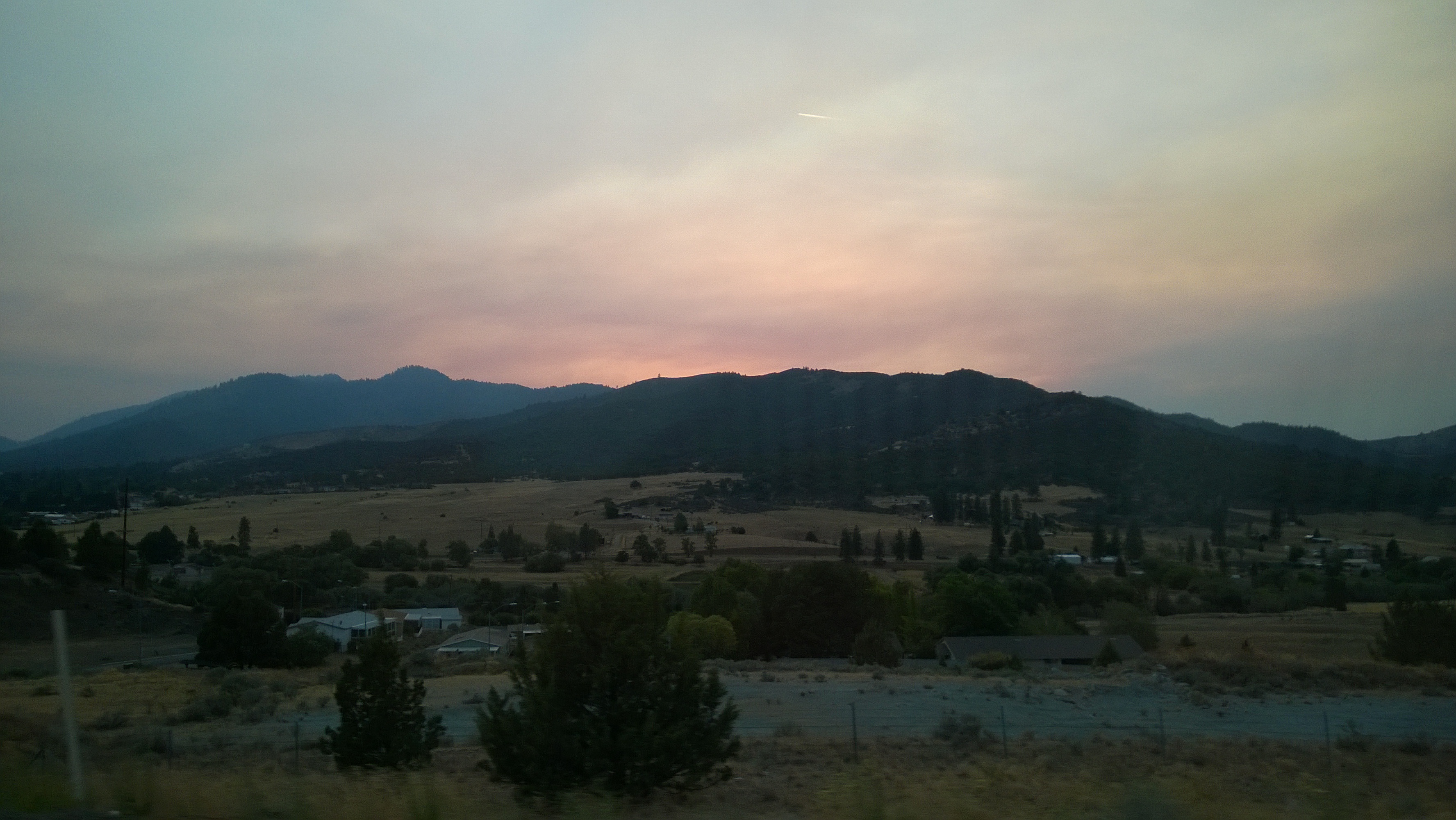
As day turned to night...

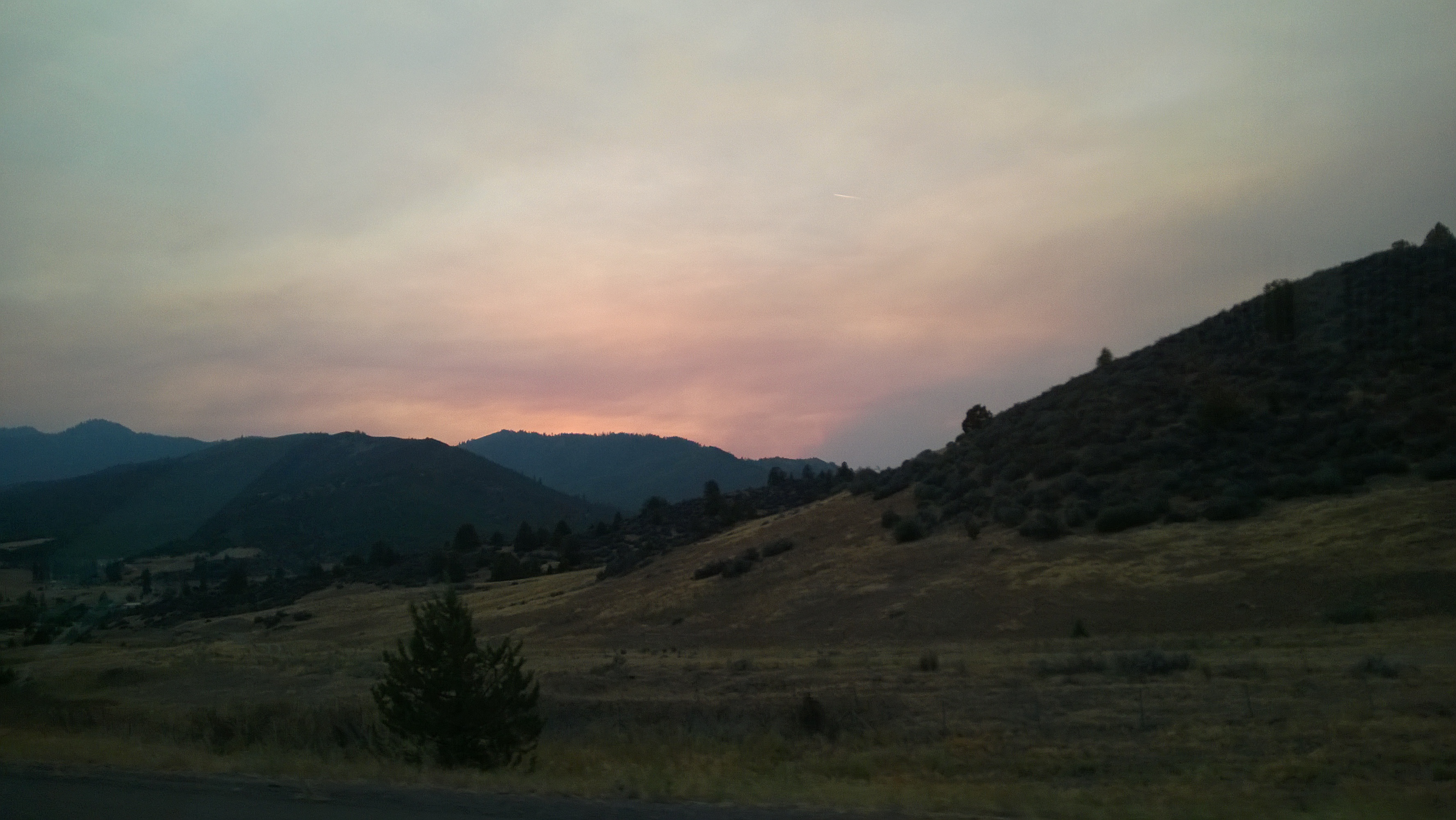
As day turned to night...
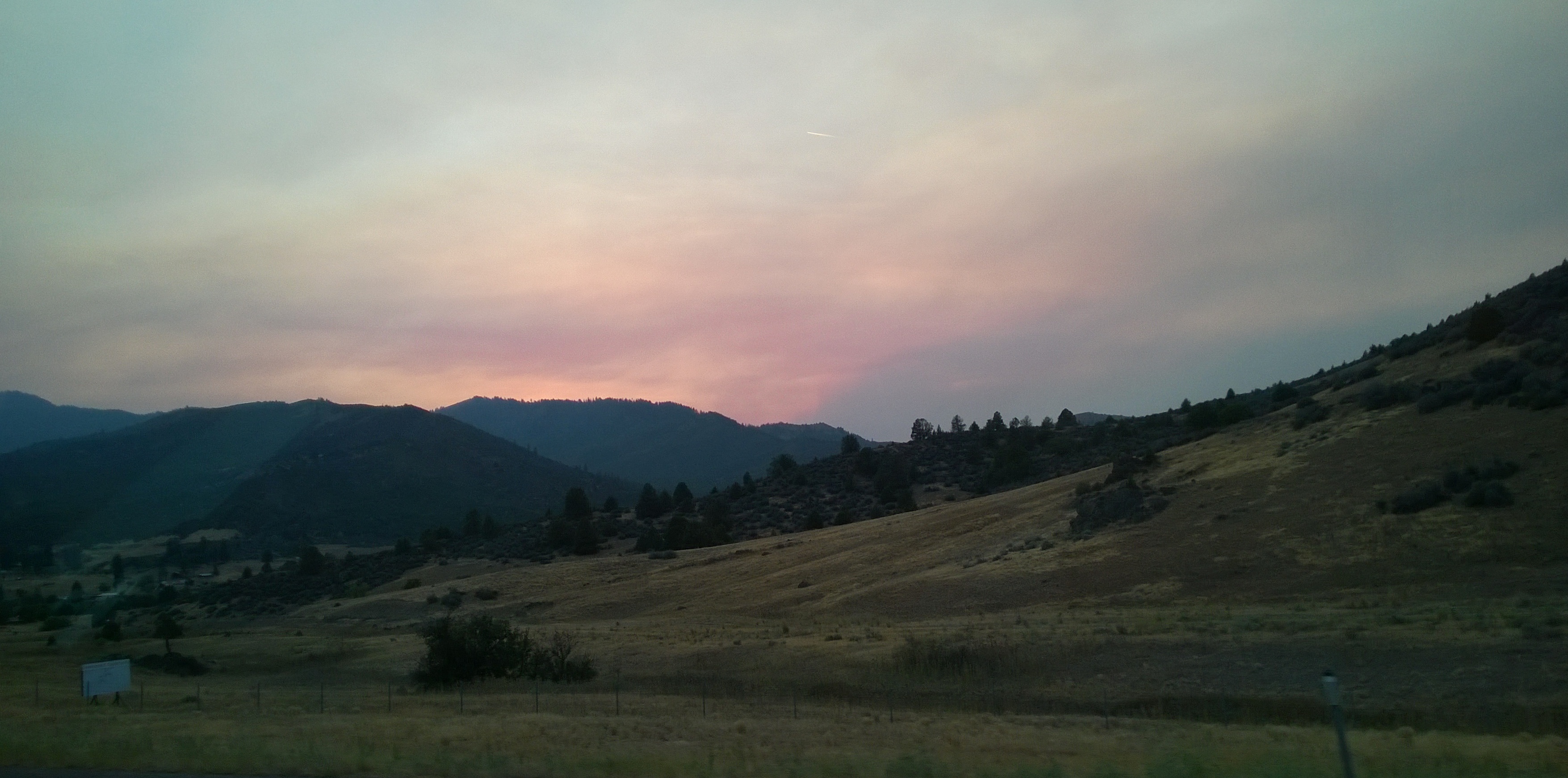
As day turned to night...
As day turned to night...
Ansel Adamsy
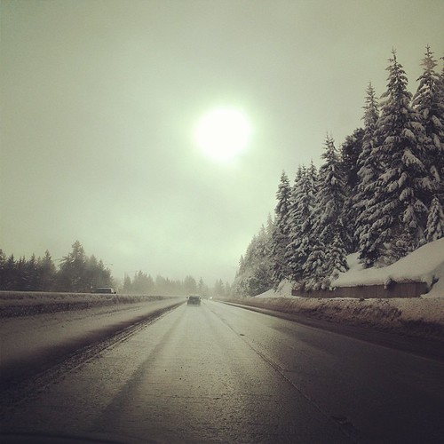
We didn't see the sun much on our road trip, but as soon as we crossed into California, it came out. #christmasroadtrip #latergram
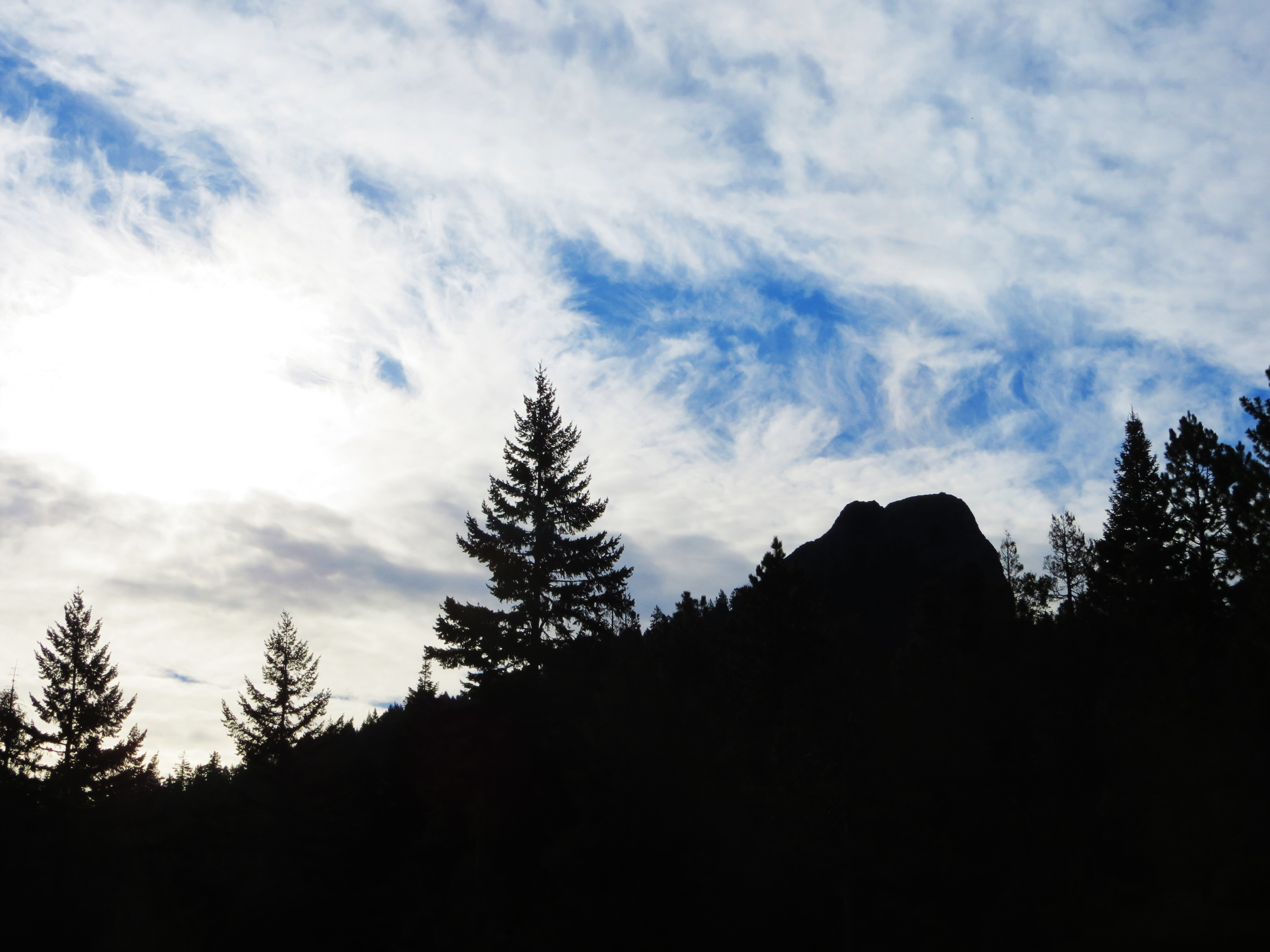
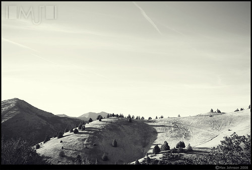
Pilot Rock in the Morning
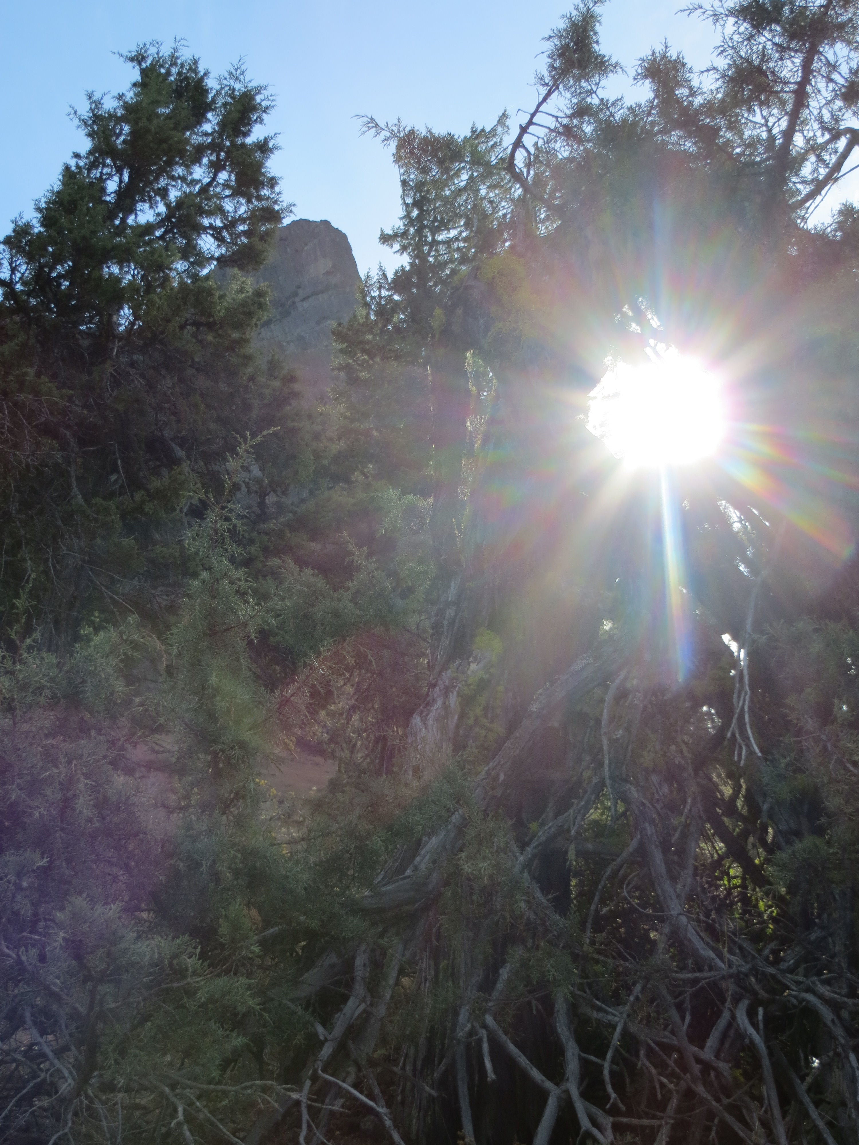
Pilot Rock Sun Flare
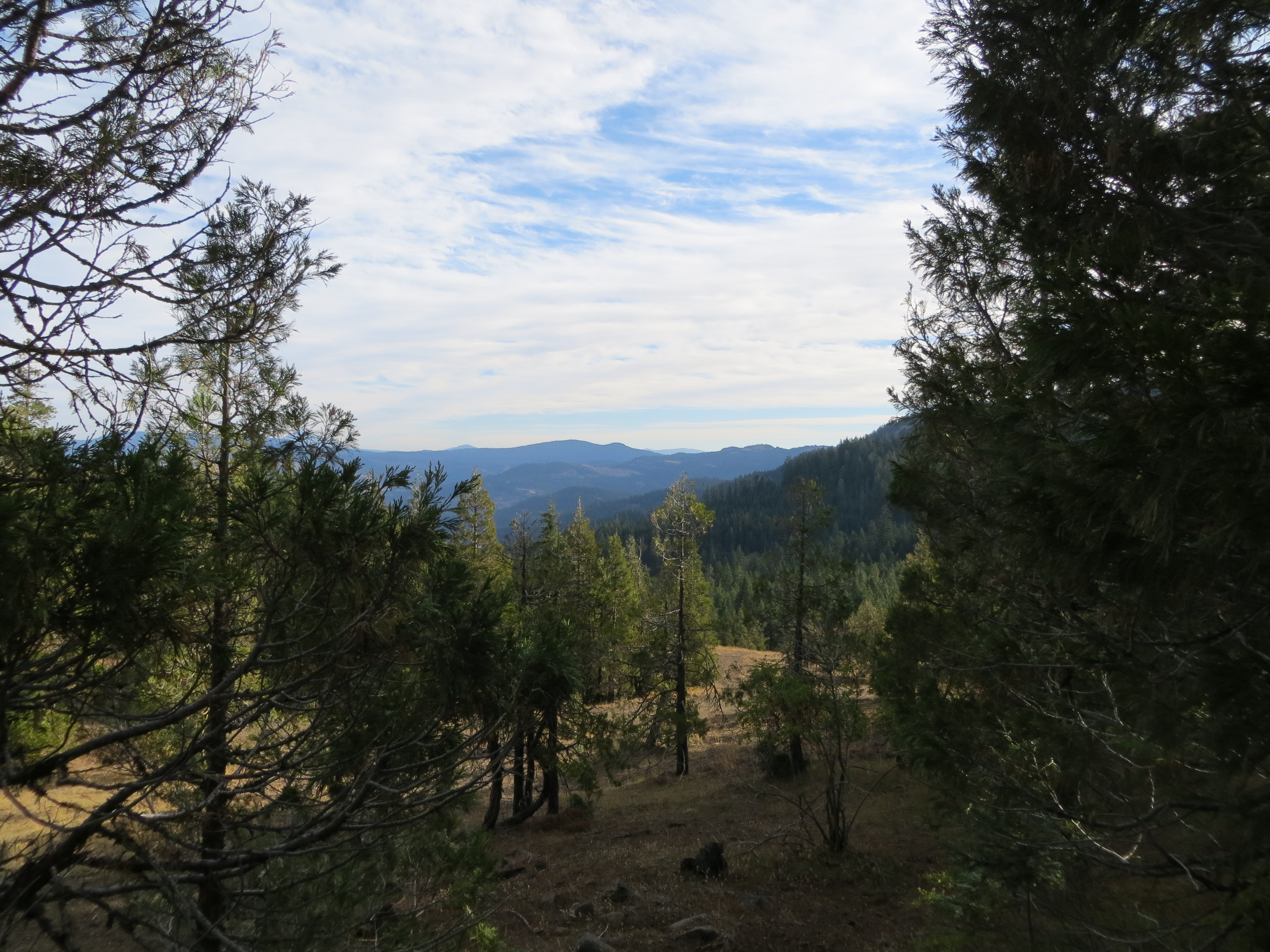
Cascade-Siskiyou National Monument Landscape
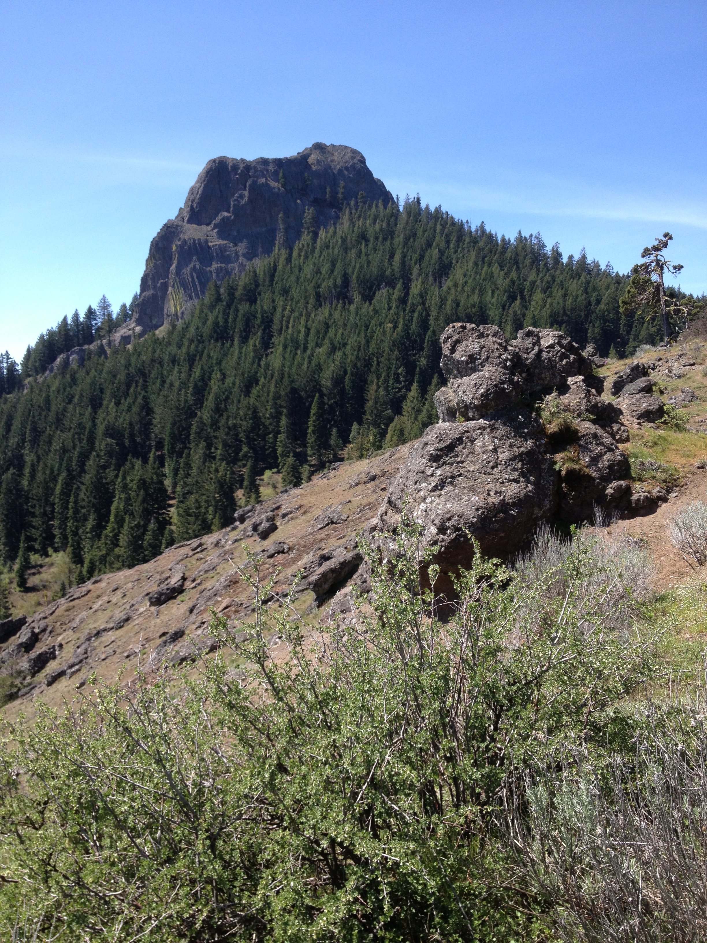
Pilot Rock
Drove to the great vista point off I-5 to shoot Mt. Shasta at sunrise. So far this is my view.
Main St, Hornbrook, CA アメリカ合衆国の地図
別の場所を検索
近所の場所
アメリカ合衆国 〒 カリフォルニア州 ホーンブルック
Red Bird St, Hornbrook, CA アメリカ合衆国レッド・バード・ストリート
Klamath River Hwy, Yreka, CA アメリカ合衆国
Dandy Ln, Hornbrook, CA アメリカ合衆国ダンディー・レーン
アメリカ合衆国 〒 カリフォルニア州 ホーンブルック
Dandy Ln, Hornbrook, CA アメリカ合衆国
Ager Beswick Rd, Montague, CA アメリカ合衆国
アメリカ合衆国 〒 カリフォルニア州 ヒルト
Lake Rd, Hornbrook, CA アメリカ合衆国Lake Road
アメリカ合衆国 カリフォルニア州 シスキュー
Kuck Rd, Montague, CA アメリカ合衆国
Colestin Rd, Ashland, OR アメリカ合衆国
Colestin Rd, Ashland, OR アメリカ合衆国
Colestin Rd, Ashland, OR アメリカ合衆国
CA-, Yreka, CA アメリカ合衆国
CA-96, Klamath River, CA アメリカ合衆国
Siskiyou Summit, Oregon アメリカ合衆国
Colestin Rd, Ashland, OR アメリカ合衆国
Colestin Rd, Ashland, OR アメリカ合衆国
アメリカ合衆国 〒 オレゴン州 コールスティン
最近の検索
- San Telmo, Buenos Aires, Argentina日の出日の入り時間
- Congressional Dr, Stevensville, MD, USA日の出日の入り時間
- ギリシャ 〒 04 パピンゴ日の出日の入り時間
- Kranto 7-oji g. 8"N, Kaunas, リトアニアPagonija rock日の出日の入り時間
- Co Rd 87, Jamestown, CO, USA日の出日の入り時間
- コロンビア クンディナマルカ テンホ日の出日の入り時間
- 日本、〒- 千葉県市原市五所1966−1日の出日の入り時間
- 日本 〒-日の出日の入り時間
- Co Rd A, Truth or Consequences, NM アメリカ合衆国スペースポート・アメリカ日の出日の入り時間
- アメリカ合衆国 〒 ロード・アイランド州 ウォーウィック日の出日の入り時間