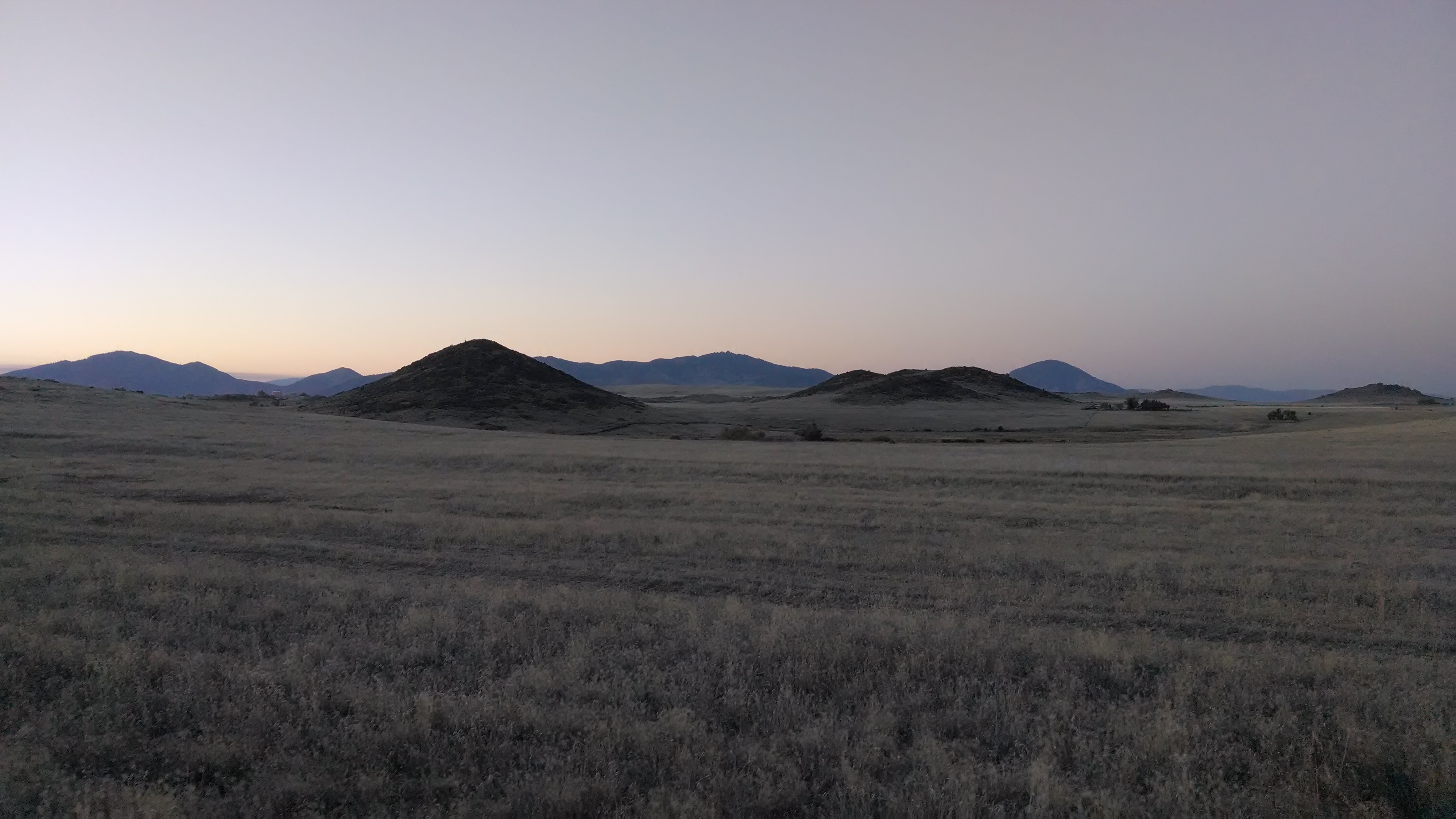
Klamath River Hwy, Yreka, CA アメリカ合衆国日の出日の入り時間
Location: アメリカ合衆国 > カリフォルニア州 > シスキュー > アメリカ合衆国 〒 カリフォルニア州 イリーカ >
時間帯:
America/Los_Angeles
現地時間:
2024-04-27 14:14:49
経度:
-122.5863378
緯度:
41.8326253
今日の日の出時刻:
06:09:05 AM
今日の日の入時刻:
08:06:18 PM
今日の日長:
13h 57m 13s
明日の日の出時刻:
06:07:44 AM
明日の日の入時刻:
08:07:24 PM
明日の日長:
13h 59m 40s
すべて表示する
| 日付 | 日出 | 日没 | 日長 |
|---|---|---|---|
| 2024年01月01日 | 07:37:48 AM | 04:50:38 PM | 9h 12m 50s |
| 2024年01月02日 | 07:37:51 AM | 04:51:31 PM | 9h 13m 40s |
| 2024年01月03日 | 07:37:52 AM | 04:52:25 PM | 9h 14m 33s |
| 2024年01月04日 | 07:37:50 AM | 04:53:21 PM | 9h 15m 31s |
| 2024年01月05日 | 07:37:45 AM | 04:54:19 PM | 9h 16m 34s |
| 2024年01月06日 | 07:37:39 AM | 04:55:18 PM | 9h 17m 39s |
| 2024年01月07日 | 07:37:30 AM | 04:56:18 PM | 9h 18m 48s |
| 2024年01月08日 | 07:37:18 AM | 04:57:20 PM | 9h 20m 2s |
| 2024年01月09日 | 07:37:05 AM | 04:58:23 PM | 9h 21m 18s |
| 2024年01月10日 | 07:36:49 AM | 04:59:27 PM | 9h 22m 38s |
| 2024年01月11日 | 07:36:30 AM | 05:00:32 PM | 9h 24m 2s |
| 2024年01月12日 | 07:36:10 AM | 05:01:38 PM | 9h 25m 28s |
| 2024年01月13日 | 07:35:47 AM | 05:02:46 PM | 9h 26m 59s |
| 2024年01月14日 | 07:35:22 AM | 05:03:54 PM | 9h 28m 32s |
| 2024年01月15日 | 07:34:54 AM | 05:05:03 PM | 9h 30m 9s |
| 2024年01月16日 | 07:34:24 AM | 05:06:13 PM | 9h 31m 49s |
| 2024年01月17日 | 07:33:53 AM | 05:07:24 PM | 9h 33m 31s |
| 2024年01月18日 | 07:33:19 AM | 05:08:36 PM | 9h 35m 17s |
| 2024年01月19日 | 07:32:42 AM | 05:09:48 PM | 9h 37m 6s |
| 2024年01月20日 | 07:32:04 AM | 05:11:01 PM | 9h 38m 57s |
| 2024年01月21日 | 07:31:24 AM | 05:12:14 PM | 9h 40m 50s |
| 2024年01月22日 | 07:30:41 AM | 05:13:28 PM | 9h 42m 47s |
| 2024年01月23日 | 07:29:57 AM | 05:14:43 PM | 9h 44m 46s |
| 2024年01月24日 | 07:29:10 AM | 05:15:58 PM | 9h 46m 48s |
| 2024年01月25日 | 07:28:22 AM | 05:17:13 PM | 9h 48m 51s |
| 2024年01月26日 | 07:27:31 AM | 05:18:29 PM | 9h 50m 58s |
| 2024年01月27日 | 07:26:39 AM | 05:19:45 PM | 9h 53m 6s |
| 2024年01月28日 | 07:25:45 AM | 05:21:01 PM | 9h 55m 16s |
| 2024年01月29日 | 07:24:49 AM | 05:22:17 PM | 9h 57m 28s |
| 2024年01月30日 | 07:23:51 AM | 05:23:34 PM | 9h 59m 43s |
| 2024年01月31日 | 07:22:51 AM | 05:24:51 PM | 10h 2m 0s |
| 2024年02月01日 | 07:21:50 AM | 05:26:08 PM | 10h 4m 18s |
| 2024年02月02日 | 07:20:47 AM | 05:27:25 PM | 10h 6m 38s |
| 2024年02月03日 | 07:19:42 AM | 05:28:42 PM | 10h 9m 0s |
| 2024年02月04日 | 07:18:36 AM | 05:29:58 PM | 10h 11m 22s |
| 2024年02月05日 | 07:17:28 AM | 05:31:15 PM | 10h 13m 47s |
| 2024年02月06日 | 07:16:18 AM | 05:32:32 PM | 10h 16m 14s |
| 2024年02月07日 | 07:15:07 AM | 05:33:49 PM | 10h 18m 42s |
| 2024年02月08日 | 07:13:55 AM | 05:35:06 PM | 10h 21m 11s |
| 2024年02月09日 | 07:12:41 AM | 05:36:22 PM | 10h 23m 41s |
| 2024年02月10日 | 07:11:25 AM | 05:37:39 PM | 10h 26m 14s |
| 2024年02月11日 | 07:10:09 AM | 05:38:55 PM | 10h 28m 46s |
| 2024年02月12日 | 07:08:51 AM | 05:40:11 PM | 10h 31m 20s |
| 2024年02月13日 | 07:07:31 AM | 05:41:27 PM | 10h 33m 56s |
| 2024年02月14日 | 07:06:11 AM | 05:42:43 PM | 10h 36m 32s |
| 2024年02月15日 | 07:04:49 AM | 05:43:58 PM | 10h 39m 9s |
| 2024年02月16日 | 07:03:26 AM | 05:45:14 PM | 10h 41m 48s |
| 2024年02月17日 | 07:02:02 AM | 05:46:29 PM | 10h 44m 27s |
| 2024年02月18日 | 07:00:36 AM | 05:47:43 PM | 10h 47m 7s |
| 2024年02月19日 | 06:59:10 AM | 05:48:58 PM | 10h 49m 48s |
| 2024年02月20日 | 06:57:43 AM | 05:50:12 PM | 10h 52m 29s |
| 2024年02月21日 | 06:56:14 AM | 05:51:26 PM | 10h 55m 12s |
| 2024年02月22日 | 06:54:45 AM | 05:52:39 PM | 10h 57m 54s |
| 2024年02月23日 | 06:53:15 AM | 05:53:53 PM | 11h 0m 38s |
| 2024年02月24日 | 06:51:44 AM | 05:55:06 PM | 11h 3m 22s |
| 2024年02月25日 | 06:50:12 AM | 05:56:18 PM | 11h 6m 6s |
| 2024年02月26日 | 06:48:39 AM | 05:57:31 PM | 11h 8m 52s |
| 2024年02月27日 | 06:47:05 AM | 05:58:43 PM | 11h 11m 38s |
| 2024年02月28日 | 06:45:31 AM | 05:59:55 PM | 11h 14m 24s |
| 2024年02月29日 | 06:43:56 AM | 06:01:06 PM | 11h 17m 10s |
| 2024年03月01日 | 06:42:20 AM | 06:02:18 PM | 11h 19m 58s |
| 2024年03月02日 | 06:40:43 AM | 06:03:28 PM | 11h 22m 45s |
| 2024年03月03日 | 06:39:06 AM | 06:04:39 PM | 11h 25m 33s |
| 2024年03月04日 | 06:37:29 AM | 06:05:50 PM | 11h 28m 21s |
| 2024年03月05日 | 06:35:50 AM | 06:07:00 PM | 11h 31m 10s |
| 2024年03月06日 | 06:34:12 AM | 06:08:09 PM | 11h 33m 57s |
| 2024年03月07日 | 06:32:32 AM | 06:09:19 PM | 11h 36m 47s |
| 2024年03月08日 | 06:30:53 AM | 06:10:28 PM | 11h 39m 35s |
| 2024年03月09日 | 06:29:13 AM | 06:11:38 PM | 11h 42m 25s |
| 2024年03月10日 | 07:27:36 AM | 07:12:44 PM | 11h 45m 8s |
| 2024年03月11日 | 07:25:55 AM | 07:13:52 PM | 11h 47m 57s |
| 2024年03月12日 | 07:24:14 AM | 07:15:01 PM | 11h 50m 47s |
| 2024年03月13日 | 07:22:33 AM | 07:16:09 PM | 11h 53m 36s |
| 2024年03月14日 | 07:20:51 AM | 07:17:17 PM | 11h 56m 26s |
| 2024年03月15日 | 07:19:09 AM | 07:18:25 PM | 11h 59m 16s |
| 2024年03月16日 | 07:17:27 AM | 07:19:32 PM | 12h 2m 5s |
| 2024年03月17日 | 07:15:44 AM | 07:20:40 PM | 12h 4m 56s |
| 2024年03月18日 | 07:14:02 AM | 07:21:47 PM | 12h 7m 45s |
| 2024年03月19日 | 07:12:19 AM | 07:22:54 PM | 12h 10m 35s |
| 2024年03月20日 | 07:10:36 AM | 07:24:01 PM | 12h 13m 25s |
| 2024年03月21日 | 07:08:54 AM | 07:25:08 PM | 12h 16m 14s |
| 2024年03月22日 | 07:07:11 AM | 07:26:15 PM | 12h 19m 4s |
| 2024年03月23日 | 07:05:28 AM | 07:27:21 PM | 12h 21m 53s |
| 2024年03月24日 | 07:03:45 AM | 07:28:28 PM | 12h 24m 43s |
| 2024年03月25日 | 07:02:03 AM | 07:29:34 PM | 12h 27m 31s |
| 2024年03月26日 | 07:00:20 AM | 07:30:41 PM | 12h 30m 21s |
| 2024年03月27日 | 06:58:38 AM | 07:31:47 PM | 12h 33m 9s |
| 2024年03月28日 | 06:56:55 AM | 07:32:53 PM | 12h 35m 58s |
| 2024年03月29日 | 06:55:13 AM | 07:33:59 PM | 12h 38m 46s |
| 2024年03月30日 | 06:53:31 AM | 07:35:06 PM | 12h 41m 35s |
| 2024年03月31日 | 06:51:50 AM | 07:36:12 PM | 12h 44m 22s |
| 2024年04月01日 | 06:50:08 AM | 07:37:18 PM | 12h 47m 10s |
| 2024年04月02日 | 06:48:27 AM | 07:38:24 PM | 12h 49m 57s |
| 2024年04月03日 | 06:46:47 AM | 07:39:30 PM | 12h 52m 43s |
| 2024年04月04日 | 06:45:06 AM | 07:40:36 PM | 12h 55m 30s |
| 2024年04月05日 | 06:43:27 AM | 07:41:42 PM | 12h 58m 15s |
| 2024年04月06日 | 06:41:47 AM | 07:42:48 PM | 13h 1m 1s |
| 2024年04月07日 | 06:40:08 AM | 07:43:54 PM | 13h 3m 46s |
| 2024年04月08日 | 06:38:30 AM | 07:45:00 PM | 13h 6m 30s |
| 2024年04月09日 | 06:36:52 AM | 07:46:06 PM | 13h 9m 14s |
| 2024年04月10日 | 06:35:14 AM | 07:47:12 PM | 13h 11m 58s |
| 2024年04月11日 | 06:33:38 AM | 07:48:18 PM | 13h 14m 40s |
| 2024年04月12日 | 06:32:01 AM | 07:49:24 PM | 13h 17m 23s |
| 2024年04月13日 | 06:30:26 AM | 07:50:30 PM | 13h 20m 4s |
| 2024年04月14日 | 06:28:51 AM | 07:51:36 PM | 13h 22m 45s |
| 2024年04月15日 | 06:27:17 AM | 07:52:42 PM | 13h 25m 25s |
| 2024年04月16日 | 06:25:44 AM | 07:53:48 PM | 13h 28m 4s |
| 2024年04月17日 | 06:24:11 AM | 07:54:54 PM | 13h 30m 43s |
| 2024年04月18日 | 06:22:39 AM | 07:56:00 PM | 13h 33m 21s |
| 2024年04月19日 | 06:21:09 AM | 07:57:06 PM | 13h 35m 57s |
| 2024年04月20日 | 06:19:39 AM | 07:58:12 PM | 13h 38m 33s |
| 2024年04月21日 | 06:18:09 AM | 07:59:18 PM | 13h 41m 9s |
| 2024年04月22日 | 06:16:41 AM | 08:00:24 PM | 13h 43m 43s |
| 2024年04月23日 | 06:15:14 AM | 08:01:30 PM | 13h 46m 16s |
| 2024年04月24日 | 06:13:48 AM | 08:02:36 PM | 13h 48m 48s |
| 2024年04月25日 | 06:12:23 AM | 08:03:42 PM | 13h 51m 19s |
| 2024年04月26日 | 06:10:59 AM | 08:04:48 PM | 13h 53m 49s |
| 2024年04月27日 | 06:09:36 AM | 08:05:53 PM | 13h 56m 17s |
| 2024年04月28日 | 06:08:14 AM | 08:06:59 PM | 13h 58m 45s |
| 2024年04月29日 | 06:06:54 AM | 08:08:05 PM | 14h 1m 11s |
| 2024年04月30日 | 06:05:34 AM | 08:09:10 PM | 14h 3m 36s |
| 2024年05月01日 | 06:04:16 AM | 08:10:15 PM | 14h 5m 59s |
| 2024年05月02日 | 06:03:00 AM | 08:11:20 PM | 14h 8m 20s |
| 2024年05月03日 | 06:01:44 AM | 08:12:25 PM | 14h 10m 41s |
| 2024年05月04日 | 06:00:30 AM | 08:13:29 PM | 14h 12m 59s |
| 2024年05月05日 | 05:59:17 AM | 08:14:34 PM | 14h 15m 17s |
| 2024年05月06日 | 05:58:06 AM | 08:15:38 PM | 14h 17m 32s |
| 2024年05月07日 | 05:56:56 AM | 08:16:41 PM | 14h 19m 45s |
| 2024年05月08日 | 05:55:47 AM | 08:17:45 PM | 14h 21m 58s |
| 2024年05月09日 | 05:54:40 AM | 08:18:48 PM | 14h 24m 8s |
| 2024年05月10日 | 05:53:35 AM | 08:19:50 PM | 14h 26m 15s |
| 2024年05月11日 | 05:52:31 AM | 08:20:53 PM | 14h 28m 22s |
| 2024年05月12日 | 05:51:29 AM | 08:21:54 PM | 14h 30m 25s |
| 2024年05月13日 | 05:50:28 AM | 08:22:56 PM | 14h 32m 28s |
| 2024年05月14日 | 05:49:29 AM | 08:23:56 PM | 14h 34m 27s |
| 2024年05月15日 | 05:48:32 AM | 08:24:57 PM | 14h 36m 25s |
| 2024年05月16日 | 05:47:36 AM | 08:25:56 PM | 14h 38m 20s |
| 2024年05月17日 | 05:46:42 AM | 08:26:55 PM | 14h 40m 13s |
| 2024年05月18日 | 05:45:50 AM | 08:27:53 PM | 14h 42m 3s |
| 2024年05月19日 | 05:45:00 AM | 08:28:51 PM | 14h 43m 51s |
| 2024年05月20日 | 05:44:11 AM | 08:29:48 PM | 14h 45m 37s |
| 2024年05月21日 | 05:43:25 AM | 08:30:44 PM | 14h 47m 19s |
| 2024年05月22日 | 05:42:40 AM | 08:31:39 PM | 14h 48m 59s |
| 2024年05月23日 | 05:41:57 AM | 08:32:33 PM | 14h 50m 36s |
| 2024年05月24日 | 05:41:16 AM | 08:33:27 PM | 14h 52m 11s |
| 2024年05月25日 | 05:40:37 AM | 08:34:19 PM | 14h 53m 42s |
| 2024年05月26日 | 05:40:00 AM | 08:35:10 PM | 14h 55m 10s |
| 2024年05月27日 | 05:39:25 AM | 08:36:01 PM | 14h 56m 36s |
| 2024年05月28日 | 05:38:52 AM | 08:36:50 PM | 14h 57m 58s |
| 2024年05月29日 | 05:38:21 AM | 08:37:38 PM | 14h 59m 17s |
| 2024年05月30日 | 05:37:52 AM | 08:38:25 PM | 15h 0m 33s |
| 2024年05月31日 | 05:37:25 AM | 08:39:11 PM | 15h 1m 46s |
| 2024年06月01日 | 05:37:00 AM | 08:39:55 PM | 15h 2m 55s |
| 2024年06月02日 | 05:36:37 AM | 08:40:38 PM | 15h 4m 1s |
| 2024年06月03日 | 05:36:16 AM | 08:41:20 PM | 15h 5m 4s |
| 2024年06月04日 | 05:35:57 AM | 08:42:00 PM | 15h 6m 3s |
| 2024年06月05日 | 05:35:40 AM | 08:42:39 PM | 15h 6m 59s |
| 2024年06月06日 | 05:35:26 AM | 08:43:16 PM | 15h 7m 50s |
| 2024年06月07日 | 05:35:13 AM | 08:43:52 PM | 15h 8m 39s |
| 2024年06月08日 | 05:35:03 AM | 08:44:26 PM | 15h 9m 23s |
| 2024年06月09日 | 05:34:54 AM | 08:44:59 PM | 15h 10m 5s |
| 2024年06月10日 | 05:34:48 AM | 08:45:30 PM | 15h 10m 42s |
| 2024年06月11日 | 05:34:43 AM | 08:45:59 PM | 15h 11m 16s |
| 2024年06月12日 | 05:34:41 AM | 08:46:27 PM | 15h 11m 46s |
| 2024年06月13日 | 05:34:41 AM | 08:46:52 PM | 15h 12m 11s |
| 2024年06月14日 | 05:34:43 AM | 08:47:16 PM | 15h 12m 33s |
| 2024年06月15日 | 05:34:46 AM | 08:47:38 PM | 15h 12m 52s |
| 2024年06月16日 | 05:34:52 AM | 08:47:59 PM | 15h 13m 7s |
| 2024年06月17日 | 05:35:00 AM | 08:48:17 PM | 15h 13m 17s |
| 2024年06月18日 | 05:35:10 AM | 08:48:33 PM | 15h 13m 23s |
| 2024年06月19日 | 05:35:21 AM | 08:48:48 PM | 15h 13m 27s |
| 2024年06月20日 | 05:35:35 AM | 08:49:00 PM | 15h 13m 25s |
| 2024年06月21日 | 05:35:50 AM | 08:49:11 PM | 15h 13m 21s |
| 2024年06月22日 | 05:36:08 AM | 08:49:20 PM | 15h 13m 12s |
| 2024年06月23日 | 05:36:27 AM | 08:49:26 PM | 15h 12m 59s |
| 2024年06月24日 | 05:36:48 AM | 08:49:30 PM | 15h 12m 42s |
| 2024年06月25日 | 05:37:11 AM | 08:49:33 PM | 15h 12m 22s |
| 2024年06月26日 | 05:37:35 AM | 08:49:33 PM | 15h 11m 58s |
| 2024年06月27日 | 05:38:01 AM | 08:49:31 PM | 15h 11m 30s |
| 2024年06月28日 | 05:38:29 AM | 08:49:27 PM | 15h 10m 58s |
| 2024年06月29日 | 05:38:59 AM | 08:49:21 PM | 15h 10m 22s |
| 2024年06月30日 | 05:39:30 AM | 08:49:13 PM | 15h 9m 43s |
| 2024年07月01日 | 05:40:03 AM | 08:49:03 PM | 15h 9m 0s |
| 2024年07月02日 | 05:40:37 AM | 08:48:51 PM | 15h 8m 14s |
| 2024年07月03日 | 05:41:12 AM | 08:48:36 PM | 15h 7m 24s |
| 2024年07月04日 | 05:41:50 AM | 08:48:20 PM | 15h 6m 30s |
| 2024年07月05日 | 05:42:28 AM | 08:48:01 PM | 15h 5m 33s |
| 2024年07月06日 | 05:43:08 AM | 08:47:40 PM | 15h 4m 32s |
| 2024年07月07日 | 05:43:49 AM | 08:47:17 PM | 15h 3m 28s |
| 2024年07月08日 | 05:44:32 AM | 08:46:52 PM | 15h 2m 20s |
| 2024年07月09日 | 05:45:15 AM | 08:46:25 PM | 15h 1m 10s |
| 2024年07月10日 | 05:46:00 AM | 08:45:56 PM | 14h 59m 56s |
| 2024年07月11日 | 05:46:46 AM | 08:45:25 PM | 14h 58m 39s |
| 2024年07月12日 | 05:47:33 AM | 08:44:52 PM | 14h 57m 19s |
| 2024年07月13日 | 05:48:21 AM | 08:44:16 PM | 14h 55m 55s |
| 2024年07月14日 | 05:49:10 AM | 08:43:39 PM | 14h 54m 29s |
| 2024年07月15日 | 05:50:00 AM | 08:43:00 PM | 14h 53m 0s |
| 2024年07月16日 | 05:50:51 AM | 08:42:19 PM | 14h 51m 28s |
| 2024年07月17日 | 05:51:43 AM | 08:41:36 PM | 14h 49m 53s |
| 2024年07月18日 | 05:52:36 AM | 08:40:51 PM | 14h 48m 15s |
| 2024年07月19日 | 05:53:29 AM | 08:40:04 PM | 14h 46m 35s |
| 2024年07月20日 | 05:54:23 AM | 08:39:15 PM | 14h 44m 52s |
| 2024年07月21日 | 05:55:18 AM | 08:38:24 PM | 14h 43m 6s |
| 2024年07月22日 | 05:56:14 AM | 08:37:32 PM | 14h 41m 18s |
| 2024年07月23日 | 05:57:10 AM | 08:36:37 PM | 14h 39m 27s |
| 2024年07月24日 | 05:58:07 AM | 08:35:41 PM | 14h 37m 34s |
| 2024年07月25日 | 05:59:04 AM | 08:34:43 PM | 14h 35m 39s |
| 2024年07月26日 | 06:00:02 AM | 08:33:44 PM | 14h 33m 42s |
| 2024年07月27日 | 06:01:00 AM | 08:32:43 PM | 14h 31m 43s |
| 2024年07月28日 | 06:01:59 AM | 08:31:40 PM | 14h 29m 41s |
| 2024年07月29日 | 06:02:58 AM | 08:30:35 PM | 14h 27m 37s |
| 2024年07月30日 | 06:03:57 AM | 08:29:29 PM | 14h 25m 32s |
| 2024年07月31日 | 06:04:57 AM | 08:28:22 PM | 14h 23m 25s |
| 2024年08月01日 | 06:05:57 AM | 08:27:12 PM | 14h 21m 15s |
| 2024年08月02日 | 06:06:58 AM | 08:26:02 PM | 14h 19m 4s |
| 2024年08月03日 | 06:07:58 AM | 08:24:50 PM | 14h 16m 52s |
| 2024年08月04日 | 06:08:59 AM | 08:23:36 PM | 14h 14m 37s |
| 2024年08月05日 | 06:10:00 AM | 08:22:21 PM | 14h 12m 21s |
| 2024年08月06日 | 06:11:02 AM | 08:21:05 PM | 14h 10m 3s |
| 2024年08月07日 | 06:12:03 AM | 08:19:47 PM | 14h 7m 44s |
| 2024年08月08日 | 06:13:05 AM | 08:18:28 PM | 14h 5m 23s |
| 2024年08月09日 | 06:14:06 AM | 08:17:08 PM | 14h 3m 2s |
| 2024年08月10日 | 06:15:08 AM | 08:15:46 PM | 14h 0m 38s |
| 2024年08月11日 | 06:16:10 AM | 08:14:24 PM | 13h 58m 14s |
| 2024年08月12日 | 06:17:12 AM | 08:13:00 PM | 13h 55m 48s |
| 2024年08月13日 | 06:18:14 AM | 08:11:35 PM | 13h 53m 21s |
| 2024年08月14日 | 06:19:16 AM | 08:10:09 PM | 13h 50m 53s |
| 2024年08月15日 | 06:20:18 AM | 08:08:42 PM | 13h 48m 24s |
| 2024年08月16日 | 06:21:20 AM | 08:07:14 PM | 13h 45m 54s |
| 2024年08月17日 | 06:22:22 AM | 08:05:44 PM | 13h 43m 22s |
| 2024年08月18日 | 06:23:25 AM | 08:04:14 PM | 13h 40m 49s |
| 2024年08月19日 | 06:24:27 AM | 08:02:43 PM | 13h 38m 16s |
| 2024年08月20日 | 06:25:29 AM | 08:01:11 PM | 13h 35m 42s |
| 2024年08月21日 | 06:26:31 AM | 07:59:38 PM | 13h 33m 7s |
| 2024年08月22日 | 06:27:33 AM | 07:58:04 PM | 13h 30m 31s |
| 2024年08月23日 | 06:28:35 AM | 07:56:30 PM | 13h 27m 55s |
| 2024年08月24日 | 06:29:37 AM | 07:54:55 PM | 13h 25m 18s |
| 2024年08月25日 | 06:30:39 AM | 07:53:19 PM | 13h 22m 40s |
| 2024年08月26日 | 06:31:40 AM | 07:51:42 PM | 13h 20m 2s |
| 2024年08月27日 | 06:32:42 AM | 07:50:04 PM | 13h 17m 22s |
| 2024年08月28日 | 06:33:44 AM | 07:48:26 PM | 13h 14m 42s |
| 2024年08月29日 | 06:34:46 AM | 07:46:47 PM | 13h 12m 1s |
| 2024年08月30日 | 06:35:47 AM | 07:45:08 PM | 13h 9m 21s |
| 2024年08月31日 | 06:36:49 AM | 07:43:28 PM | 13h 6m 39s |
| 2024年09月01日 | 06:37:51 AM | 07:41:48 PM | 13h 3m 57s |
| 2024年09月02日 | 06:38:52 AM | 07:40:07 PM | 13h 1m 15s |
| 2024年09月03日 | 06:39:54 AM | 07:38:25 PM | 12h 58m 31s |
| 2024年09月04日 | 06:40:55 AM | 07:36:43 PM | 12h 55m 48s |
| 2024年09月05日 | 06:41:57 AM | 07:35:01 PM | 12h 53m 4s |
| 2024年09月06日 | 06:42:58 AM | 07:33:19 PM | 12h 50m 21s |
| 2024年09月07日 | 06:44:00 AM | 07:31:36 PM | 12h 47m 36s |
| 2024年09月08日 | 06:45:01 AM | 07:29:52 PM | 12h 44m 51s |
| 2024年09月09日 | 06:46:03 AM | 07:28:09 PM | 12h 42m 6s |
| 2024年09月10日 | 06:47:04 AM | 07:26:25 PM | 12h 39m 21s |
| 2024年09月11日 | 06:48:06 AM | 07:24:41 PM | 12h 36m 35s |
| 2024年09月12日 | 06:49:08 AM | 07:22:56 PM | 12h 33m 48s |
| 2024年09月13日 | 06:50:09 AM | 07:21:12 PM | 12h 31m 3s |
| 2024年09月14日 | 06:51:11 AM | 07:19:27 PM | 12h 28m 16s |
| 2024年09月15日 | 06:52:13 AM | 07:17:43 PM | 12h 25m 30s |
| 2024年09月16日 | 06:53:15 AM | 07:15:58 PM | 12h 22m 43s |
| 2024年09月17日 | 06:54:17 AM | 07:14:13 PM | 12h 19m 56s |
| 2024年09月18日 | 06:55:19 AM | 07:12:28 PM | 12h 17m 9s |
| 2024年09月19日 | 06:56:21 AM | 07:10:43 PM | 12h 14m 22s |
| 2024年09月20日 | 06:57:23 AM | 07:08:59 PM | 12h 11m 36s |
| 2024年09月21日 | 06:58:26 AM | 07:07:14 PM | 12h 8m 48s |
| 2024年09月22日 | 06:59:28 AM | 07:05:29 PM | 12h 6m 1s |
| 2024年09月23日 | 07:00:31 AM | 07:03:45 PM | 12h 3m 14s |
| 2024年09月24日 | 07:01:34 AM | 07:02:00 PM | 12h 0m 26s |
| 2024年09月25日 | 07:02:37 AM | 07:00:16 PM | 11h 57m 39s |
| 2024年09月26日 | 07:03:40 AM | 06:58:32 PM | 11h 54m 52s |
| 2024年09月27日 | 07:04:44 AM | 06:56:49 PM | 11h 52m 5s |
| 2024年09月28日 | 07:05:47 AM | 06:55:05 PM | 11h 49m 18s |
| 2024年09月29日 | 07:06:51 AM | 06:53:22 PM | 11h 46m 31s |
| 2024年09月30日 | 07:07:55 AM | 06:51:39 PM | 11h 43m 44s |
| 2024年10月01日 | 07:09:00 AM | 06:49:57 PM | 11h 40m 57s |
| 2024年10月02日 | 07:10:04 AM | 06:48:15 PM | 11h 38m 11s |
| 2024年10月03日 | 07:11:09 AM | 06:46:34 PM | 11h 35m 25s |
| 2024年10月04日 | 07:12:14 AM | 06:44:53 PM | 11h 32m 39s |
| 2024年10月05日 | 07:13:20 AM | 06:43:12 PM | 11h 29m 52s |
| 2024年10月06日 | 07:14:26 AM | 06:41:32 PM | 11h 27m 6s |
| 2024年10月07日 | 07:15:32 AM | 06:39:52 PM | 11h 24m 20s |
| 2024年10月08日 | 07:16:38 AM | 06:38:14 PM | 11h 21m 36s |
| 2024年10月09日 | 07:17:44 AM | 06:36:35 PM | 11h 18m 51s |
| 2024年10月10日 | 07:18:51 AM | 06:34:58 PM | 11h 16m 7s |
| 2024年10月11日 | 07:19:59 AM | 06:33:21 PM | 11h 13m 22s |
| 2024年10月12日 | 07:21:06 AM | 06:31:45 PM | 11h 10m 39s |
| 2024年10月13日 | 07:22:14 AM | 06:30:09 PM | 11h 7m 55s |
| 2024年10月14日 | 07:23:22 AM | 06:28:35 PM | 11h 5m 13s |
| 2024年10月15日 | 07:24:30 AM | 06:27:01 PM | 11h 2m 31s |
| 2024年10月16日 | 07:25:39 AM | 06:25:28 PM | 10h 59m 49s |
| 2024年10月17日 | 07:26:48 AM | 06:23:56 PM | 10h 57m 8s |
| 2024年10月18日 | 07:27:58 AM | 06:22:25 PM | 10h 54m 27s |
| 2024年10月19日 | 07:29:08 AM | 06:20:55 PM | 10h 51m 47s |
| 2024年10月20日 | 07:30:18 AM | 06:19:26 PM | 10h 49m 8s |
| 2024年10月21日 | 07:31:28 AM | 06:17:58 PM | 10h 46m 30s |
| 2024年10月22日 | 07:32:39 AM | 06:16:31 PM | 10h 43m 52s |
| 2024年10月23日 | 07:33:50 AM | 06:15:05 PM | 10h 41m 15s |
| 2024年10月24日 | 07:35:01 AM | 06:13:40 PM | 10h 38m 39s |
| 2024年10月25日 | 07:36:12 AM | 06:12:16 PM | 10h 36m 4s |
| 2024年10月26日 | 07:37:24 AM | 06:10:54 PM | 10h 33m 30s |
| 2024年10月27日 | 07:38:36 AM | 06:09:33 PM | 10h 30m 57s |
| 2024年10月28日 | 07:39:49 AM | 06:08:13 PM | 10h 28m 24s |
| 2024年10月29日 | 07:41:01 AM | 06:06:55 PM | 10h 25m 54s |
| 2024年10月30日 | 07:42:14 AM | 06:05:38 PM | 10h 23m 24s |
| 2024年10月31日 | 07:43:27 AM | 06:04:22 PM | 10h 20m 55s |
| 2024年11月01日 | 07:44:40 AM | 06:03:08 PM | 10h 18m 28s |
| 2024年11月02日 | 07:45:53 AM | 06:01:55 PM | 10h 16m 2s |
| 2024年11月03日 | 06:47:09 AM | 05:00:41 PM | 10h 13m 32s |
| 2024年11月04日 | 06:48:23 AM | 04:59:31 PM | 10h 11m 8s |
| 2024年11月05日 | 06:49:37 AM | 04:58:23 PM | 10h 8m 46s |
| 2024年11月06日 | 06:50:50 AM | 04:57:16 PM | 10h 6m 26s |
| 2024年11月07日 | 06:52:04 AM | 04:56:12 PM | 10h 4m 8s |
| 2024年11月08日 | 06:53:17 AM | 04:55:09 PM | 10h 1m 52s |
| 2024年11月09日 | 06:54:31 AM | 04:54:07 PM | 9h 59m 36s |
| 2024年11月10日 | 06:55:44 AM | 04:53:08 PM | 9h 57m 24s |
| 2024年11月11日 | 06:56:58 AM | 04:52:10 PM | 9h 55m 12s |
| 2024年11月12日 | 06:58:11 AM | 04:51:14 PM | 9h 53m 3s |
| 2024年11月13日 | 06:59:24 AM | 04:50:20 PM | 9h 50m 56s |
| 2024年11月14日 | 07:00:37 AM | 04:49:28 PM | 9h 48m 51s |
| 2024年11月15日 | 07:01:50 AM | 04:48:38 PM | 9h 46m 48s |
| 2024年11月16日 | 07:03:02 AM | 04:47:50 PM | 9h 44m 48s |
| 2024年11月17日 | 07:04:14 AM | 04:47:03 PM | 9h 42m 49s |
| 2024年11月18日 | 07:05:25 AM | 04:46:19 PM | 9h 40m 54s |
| 2024年11月19日 | 07:06:36 AM | 04:45:37 PM | 9h 39m 1s |
| 2024年11月20日 | 07:07:47 AM | 04:44:57 PM | 9h 37m 10s |
| 2024年11月21日 | 07:08:57 AM | 04:44:20 PM | 9h 35m 23s |
| 2024年11月22日 | 07:10:06 AM | 04:43:44 PM | 9h 33m 38s |
| 2024年11月23日 | 07:11:15 AM | 04:43:11 PM | 9h 31m 56s |
| 2024年11月24日 | 07:12:23 AM | 04:42:39 PM | 9h 30m 16s |
| 2024年11月25日 | 07:13:30 AM | 04:42:10 PM | 9h 28m 40s |
| 2024年11月26日 | 07:14:37 AM | 04:41:44 PM | 9h 27m 7s |
| 2024年11月27日 | 07:15:42 AM | 04:41:19 PM | 9h 25m 37s |
| 2024年11月28日 | 07:16:47 AM | 04:40:57 PM | 9h 24m 10s |
| 2024年11月29日 | 07:17:50 AM | 04:40:37 PM | 9h 22m 47s |
| 2024年11月30日 | 07:18:53 AM | 04:40:20 PM | 9h 21m 27s |
| 2024年12月01日 | 07:19:55 AM | 04:40:05 PM | 9h 20m 10s |
| 2024年12月02日 | 07:20:55 AM | 04:39:52 PM | 9h 18m 57s |
| 2024年12月03日 | 07:21:54 AM | 04:39:42 PM | 9h 17m 48s |
| 2024年12月04日 | 07:22:52 AM | 04:39:34 PM | 9h 16m 42s |
| 2024年12月05日 | 07:23:48 AM | 04:39:28 PM | 9h 15m 40s |
| 2024年12月06日 | 07:24:44 AM | 04:39:25 PM | 9h 14m 41s |
| 2024年12月07日 | 07:25:37 AM | 04:39:24 PM | 9h 13m 47s |
| 2024年12月08日 | 07:26:29 AM | 04:39:26 PM | 9h 12m 57s |
| 2024年12月09日 | 07:27:20 AM | 04:39:30 PM | 9h 12m 10s |
| 2024年12月10日 | 07:28:09 AM | 04:39:36 PM | 9h 11m 27s |
| 2024年12月11日 | 07:28:56 AM | 04:39:45 PM | 9h 10m 49s |
| 2024年12月12日 | 07:29:42 AM | 04:39:56 PM | 9h 10m 14s |
| 2024年12月13日 | 07:30:26 AM | 04:40:10 PM | 9h 9m 44s |
| 2024年12月14日 | 07:31:08 AM | 04:40:26 PM | 9h 9m 18s |
| 2024年12月15日 | 07:31:48 AM | 04:40:44 PM | 9h 8m 56s |
| 2024年12月16日 | 07:32:26 AM | 04:41:04 PM | 9h 8m 38s |
| 2024年12月17日 | 07:33:03 AM | 04:41:27 PM | 9h 8m 24s |
| 2024年12月18日 | 07:33:37 AM | 04:41:52 PM | 9h 8m 15s |
| 2024年12月19日 | 07:34:10 AM | 04:42:19 PM | 9h 8m 9s |
| 2024年12月20日 | 07:34:40 AM | 04:42:48 PM | 9h 8m 8s |
| 2024年12月21日 | 07:35:08 AM | 04:43:20 PM | 9h 8m 12s |
| 2024年12月22日 | 07:35:34 AM | 04:43:54 PM | 9h 8m 20s |
| 2024年12月23日 | 07:35:58 AM | 04:44:29 PM | 9h 8m 31s |
| 2024年12月24日 | 07:36:19 AM | 04:45:07 PM | 9h 8m 48s |
| 2024年12月25日 | 07:36:39 AM | 04:45:47 PM | 9h 9m 8s |
| 2024年12月26日 | 07:36:56 AM | 04:46:29 PM | 9h 9m 33s |
| 2024年12月27日 | 07:37:11 AM | 04:47:12 PM | 9h 10m 1s |
| 2024年12月28日 | 07:37:23 AM | 04:47:58 PM | 9h 10m 35s |
| 2024年12月29日 | 07:37:34 AM | 04:48:45 PM | 9h 11m 11s |
| 2024年12月30日 | 07:37:42 AM | 04:49:34 PM | 9h 11m 52s |
写真

2013-07-19 06.37.06
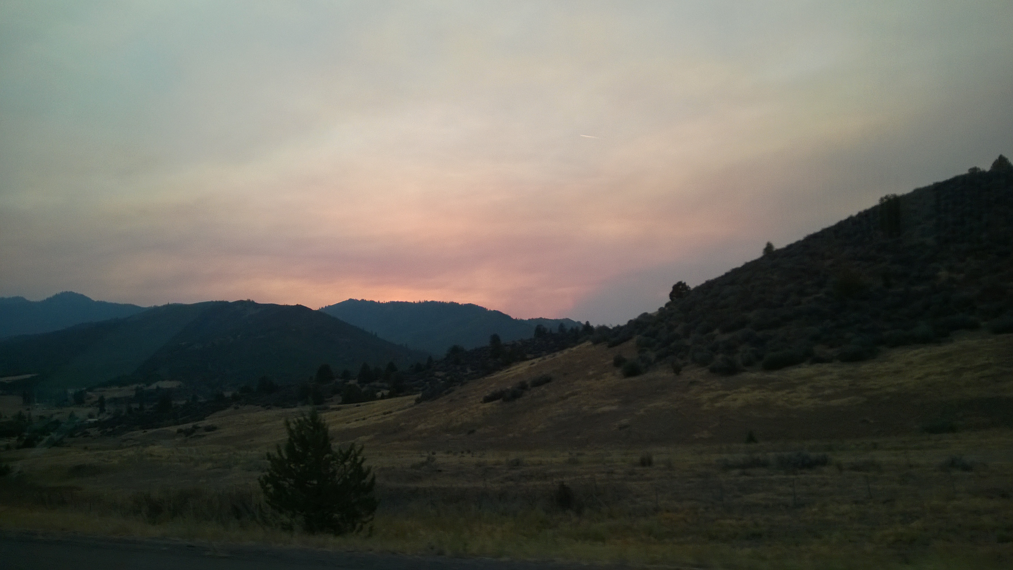
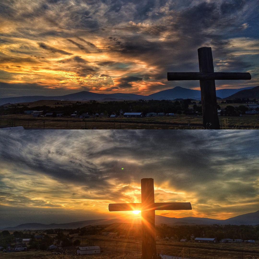
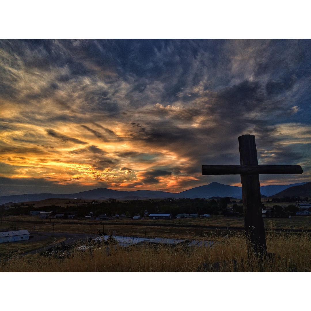
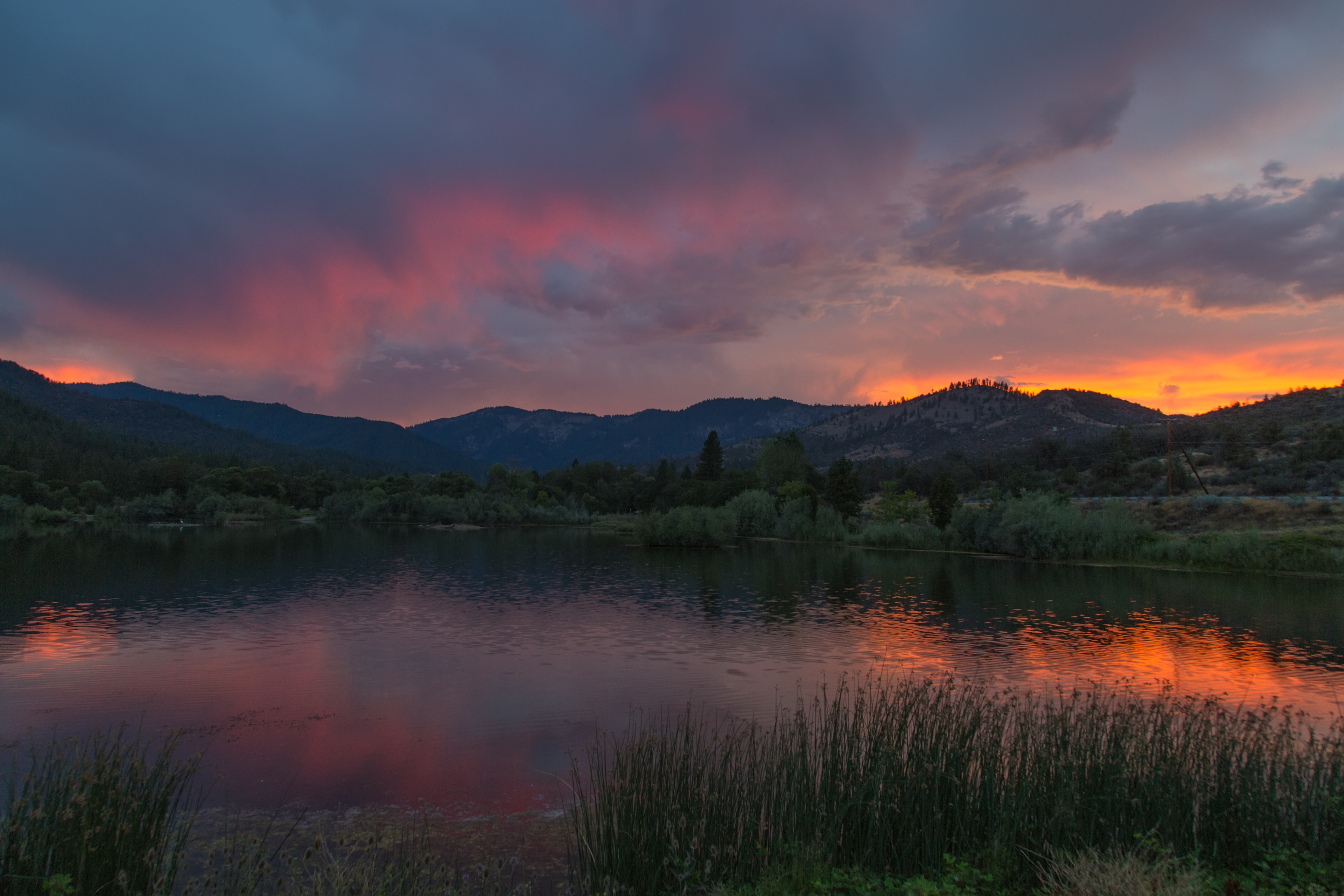
As day turned to night...

As day turned to night...
As day turned to night...
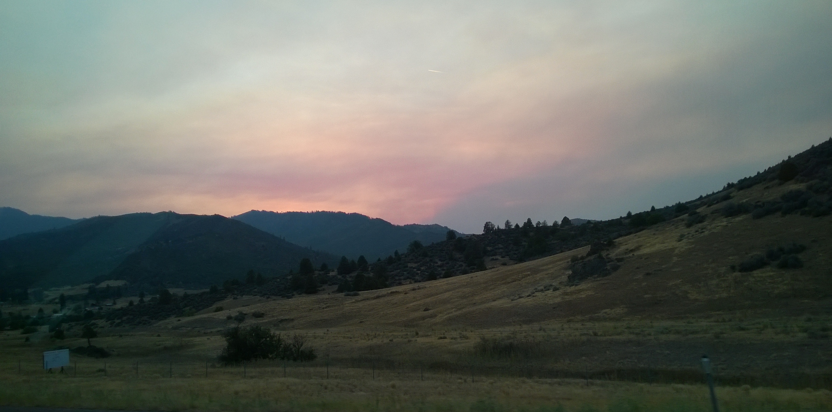
As day turned to night...
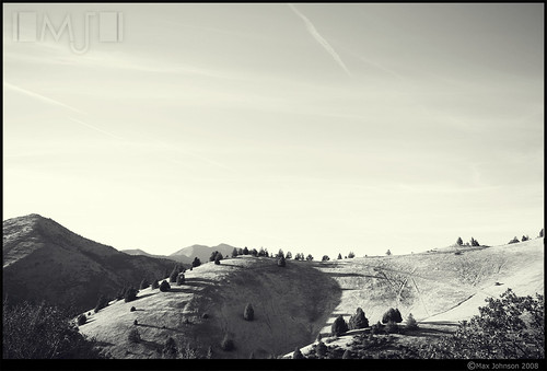
Ansel Adamsy
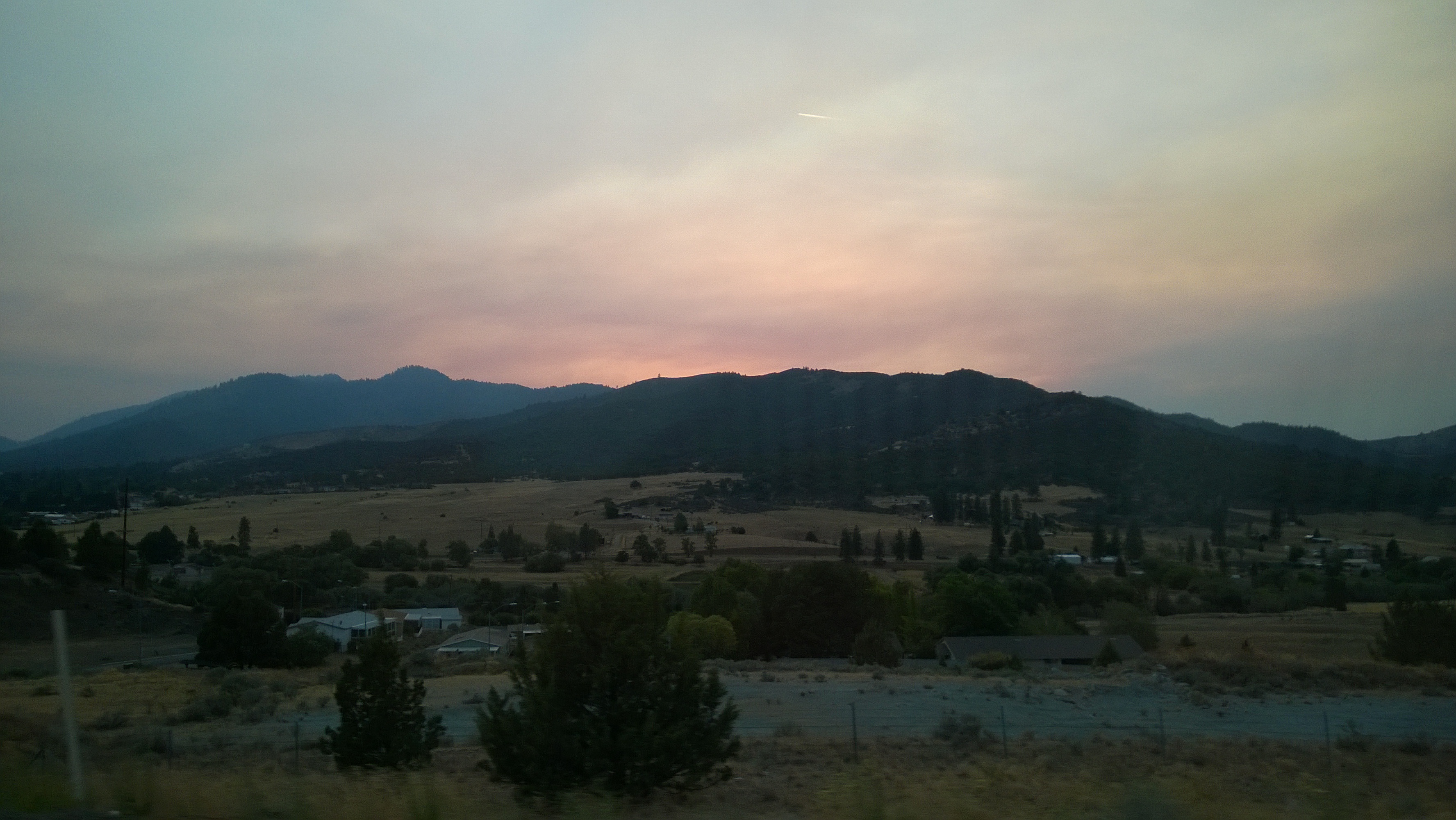
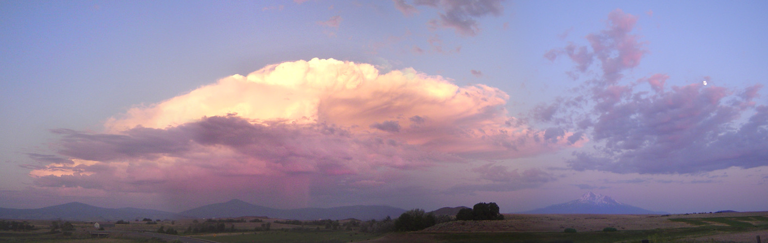
Shasta Valley at Autumn Sunset

#Cali #sunset #westcoast_exposures #briskoutdoors #theoutbound #theworld_thru_youreyes #cloudporn #skyporn #jj_california #yreka
#jj_california #jj_westcoast #westcoast_exposures #sunrise #skyporn #cloudporn #ig_unitedstates_ #theoutbound #theworld_thru_youreyes #briskoutdoors #deftonysrealm #Cali #californi_igers #bestofcali #happy4thofjuly
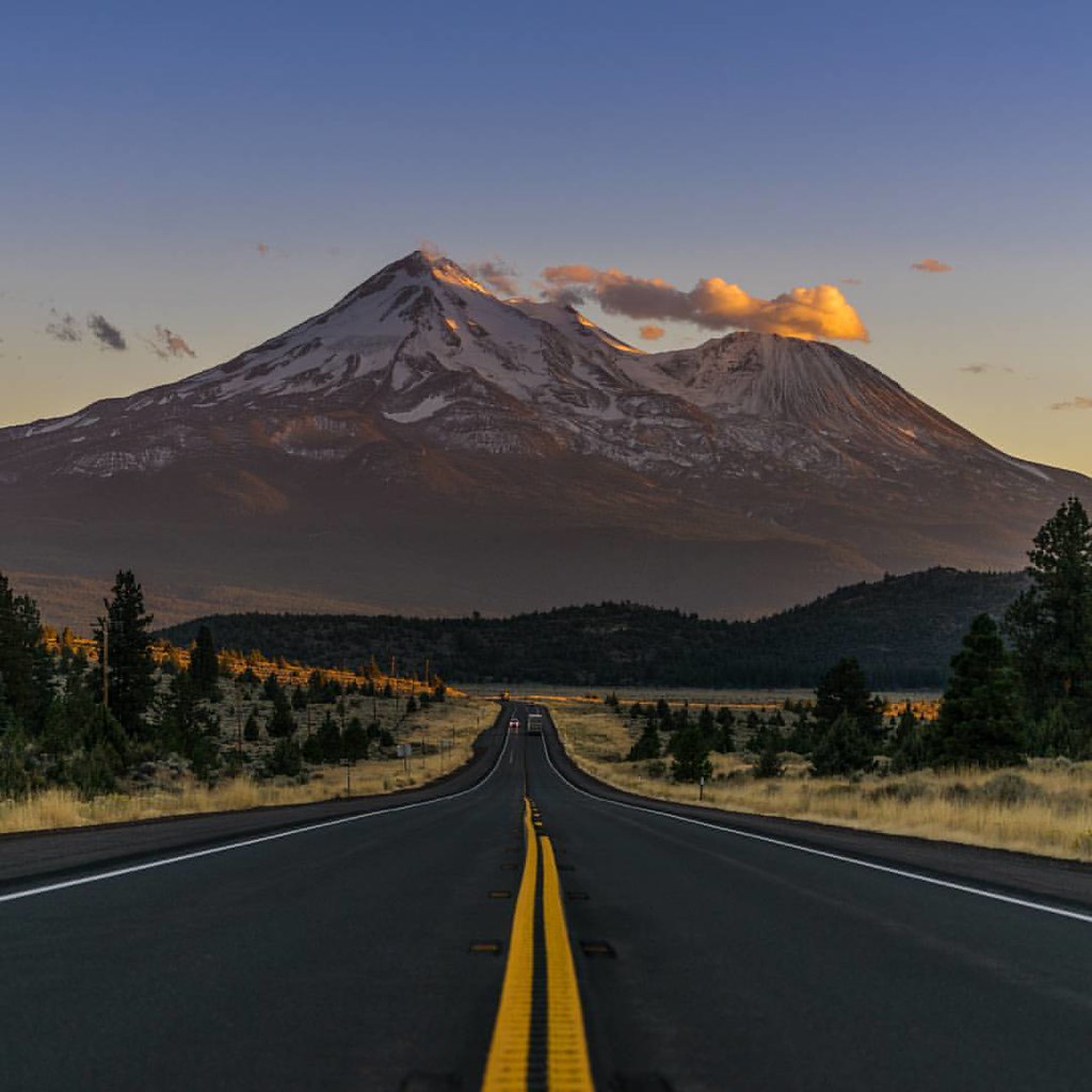
Chasing sunsets over Mt shasta Over 13k feet of awesomeness.
#sunrise #yreka #yreka_cali #Cali #californi_igers #PacificStates #skylovers #theworld_thru_youreyes #water_captures #jj_california #jj_westcoast #skyporn #clouds #cloudporn #tbt #thecross #cali_skys #bestofcali #heaven #ig_unitedstates_ #ig_sky
2013-07-19 06.37.03
Mount Shasta with Moon and Thunderstorm
DV0A0510-1
Drove to the great vista point off I-5 to shoot Mt. Shasta at sunrise. So far this is my view.

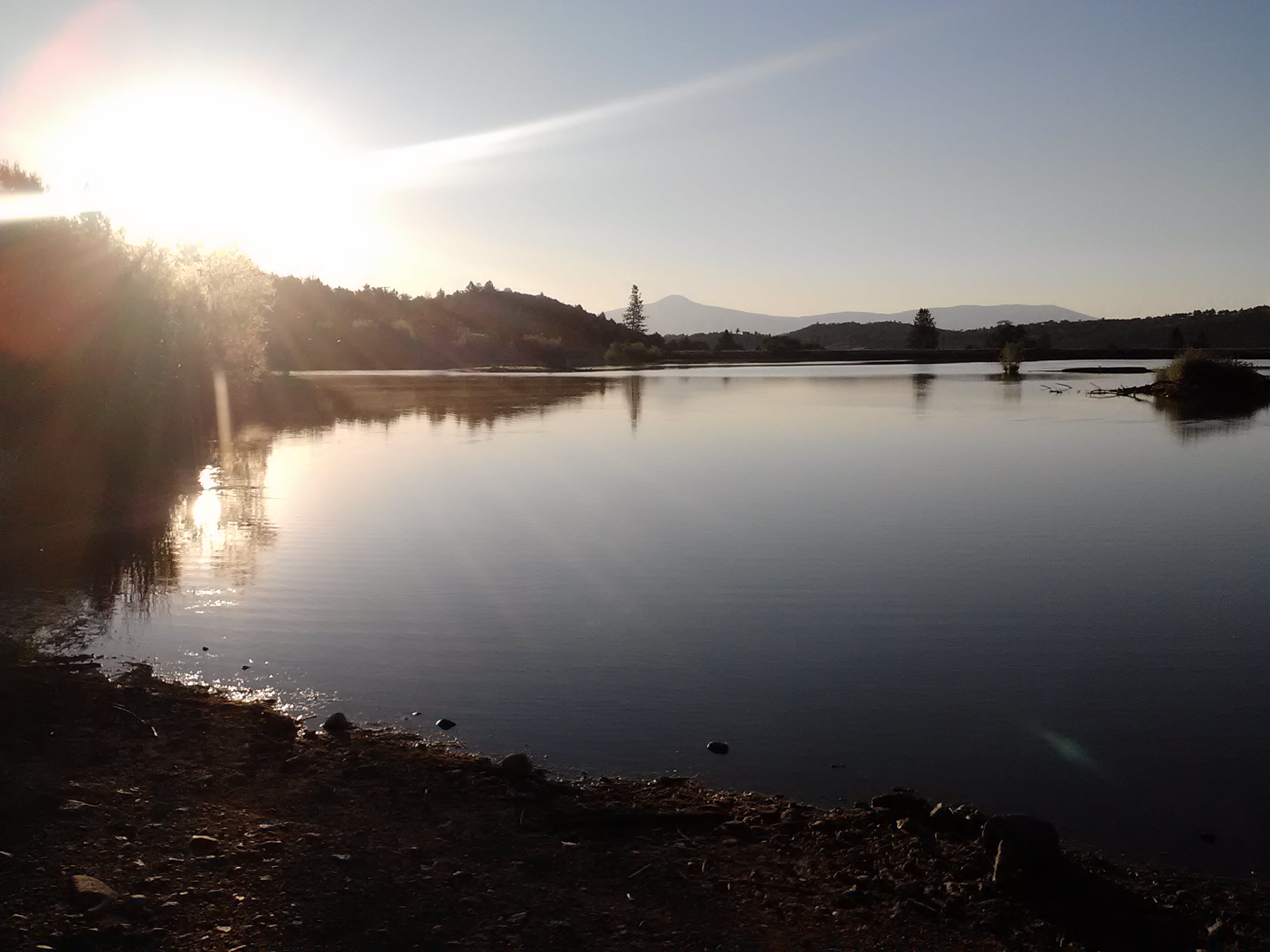
Yreka Sunrise
Klamath River Hwy, Yreka, CA アメリカ合衆国の地図
別の場所を検索
近所の場所
アメリカ合衆国 カリフォルニア州 シスキュー
Main St, Hornbrook, CA アメリカ合衆国
CA-, Yreka, CA アメリカ合衆国
Red Bird St, Hornbrook, CA アメリカ合衆国レッド・バード・ストリート
アメリカ合衆国 〒 カリフォルニア州 ホーンブルック
アメリカ合衆国 〒 カリフォルニア州 イリーカ
Kuck Rd, Montague, CA アメリカ合衆国
North St, Yreka, CA アメリカ合衆国ノース・ストリート
アメリカ合衆国 〒 カリフォルニア州 モンタギュー
Dandy Ln, Hornbrook, CA アメリカ合衆国ダンディー・レーン
Dandy Ln, Hornbrook, CA アメリカ合衆国
Ager Beswick Rd, Montague, CA アメリカ合衆国
CA-96, Klamath River, CA アメリカ合衆国
Rolling Hills Dr, Yreka, CA アメリカ合衆国
アメリカ合衆国 〒 カリフォルニア州 ホーンブルック
Laura Ln, Yreka, CA アメリカ合衆国
CA-96, Yreka, CA アメリカ合衆国
Lichens Rd, Montague, CA アメリカ合衆国
アメリカ合衆国 〒 カリフォルニア州 ヒルト
Oak Valley Dr, Yreka, CA アメリカ合衆国
最近の検索
- San Telmo, Buenos Aires, Argentina日の出日の入り時間
- Congressional Dr, Stevensville, MD, USA日の出日の入り時間
- ギリシャ 〒 04 パピンゴ日の出日の入り時間
- Kranto 7-oji g. 8"N, Kaunas, リトアニアPagonija rock日の出日の入り時間
- Co Rd 87, Jamestown, CO, USA日の出日の入り時間
- コロンビア クンディナマルカ テンホ日の出日の入り時間
- 日本、〒- 千葉県市原市五所1966−1日の出日の入り時間
- 日本 〒-日の出日の入り時間
- Co Rd A, Truth or Consequences, NM アメリカ合衆国スペースポート・アメリカ日の出日の入り時間
- アメリカ合衆国 〒 ロード・アイランド州 ウォーウィック日の出日の入り時間