Higdon Rd, West Point, CA アメリカ合衆国日の出日の入り時間
Location: アメリカ合衆国 > カリフォルニア州 > カラベラス > アメリカ合衆国 〒 カリフォルニア州 ウェスト・ポイント >
時間帯:
America/Los_Angeles
現地時間:
2024-04-28 16:08:39
経度:
-120.582782
緯度:
38.394033
今日の日の出時刻:
06:06:24 AM
今日の日の入時刻:
07:52:42 PM
今日の日長:
13h 46m 18s
明日の日の出時刻:
06:05:13 AM
明日の日の入時刻:
07:53:38 PM
明日の日長:
13h 48m 25s
すべて表示する
| 日付 | 日出 | 日没 | 日長 |
|---|---|---|---|
| 2024年01月01日 | 07:19:29 AM | 04:52:55 PM | 9h 33m 26s |
| 2024年01月02日 | 07:19:35 AM | 04:53:45 PM | 9h 34m 10s |
| 2024年01月03日 | 07:19:39 AM | 04:54:36 PM | 9h 34m 57s |
| 2024年01月04日 | 07:19:41 AM | 04:55:28 PM | 9h 35m 47s |
| 2024年01月05日 | 07:19:41 AM | 04:56:22 PM | 9h 36m 41s |
| 2024年01月06日 | 07:19:38 AM | 04:57:16 PM | 9h 37m 38s |
| 2024年01月07日 | 07:19:34 AM | 04:58:12 PM | 9h 38m 38s |
| 2024年01月08日 | 07:19:27 AM | 04:59:09 PM | 9h 39m 42s |
| 2024年01月09日 | 07:19:18 AM | 05:00:07 PM | 9h 40m 49s |
| 2024年01月10日 | 07:19:07 AM | 05:01:06 PM | 9h 41m 59s |
| 2024年01月11日 | 07:18:54 AM | 05:02:06 PM | 9h 43m 12s |
| 2024年01月12日 | 07:18:39 AM | 05:03:07 PM | 9h 44m 28s |
| 2024年01月13日 | 07:18:22 AM | 05:04:08 PM | 9h 45m 46s |
| 2024年01月14日 | 07:18:03 AM | 05:05:11 PM | 9h 47m 8s |
| 2024年01月15日 | 07:17:42 AM | 05:06:14 PM | 9h 48m 32s |
| 2024年01月16日 | 07:17:18 AM | 05:07:17 PM | 9h 49m 59s |
| 2024年01月17日 | 07:16:53 AM | 05:08:22 PM | 9h 51m 29s |
| 2024年01月18日 | 07:16:26 AM | 05:09:27 PM | 9h 53m 1s |
| 2024年01月19日 | 07:15:56 AM | 05:10:32 PM | 9h 54m 36s |
| 2024年01月20日 | 07:15:25 AM | 05:11:38 PM | 9h 56m 13s |
| 2024年01月21日 | 07:14:52 AM | 05:12:45 PM | 9h 57m 53s |
| 2024年01月22日 | 07:14:16 AM | 05:13:51 PM | 9h 59m 35s |
| 2024年01月23日 | 07:13:39 AM | 05:14:58 PM | 10h 1m 19s |
| 2024年01月24日 | 07:13:00 AM | 05:16:06 PM | 10h 3m 6s |
| 2024年01月25日 | 07:12:20 AM | 05:17:13 PM | 10h 4m 53s |
| 2024年01月26日 | 07:11:37 AM | 05:18:21 PM | 10h 6m 44s |
| 2024年01月27日 | 07:10:53 AM | 05:19:29 PM | 10h 8m 36s |
| 2024年01月28日 | 07:10:06 AM | 05:20:38 PM | 10h 10m 32s |
| 2024年01月29日 | 07:09:18 AM | 05:21:46 PM | 10h 12m 28s |
| 2024年01月30日 | 07:08:29 AM | 05:22:54 PM | 10h 14m 25s |
| 2024年01月31日 | 07:07:38 AM | 05:24:03 PM | 10h 16m 25s |
| 2024年02月01日 | 07:06:45 AM | 05:25:11 PM | 10h 18m 26s |
| 2024年02月02日 | 07:05:50 AM | 05:26:20 PM | 10h 20m 30s |
| 2024年02月03日 | 07:04:54 AM | 05:27:28 PM | 10h 22m 34s |
| 2024年02月04日 | 07:03:56 AM | 05:28:36 PM | 10h 24m 40s |
| 2024年02月05日 | 07:02:57 AM | 05:29:44 PM | 10h 26m 47s |
| 2024年02月06日 | 07:01:56 AM | 05:30:52 PM | 10h 28m 56s |
| 2024年02月07日 | 07:00:54 AM | 05:32:00 PM | 10h 31m 6s |
| 2024年02月08日 | 06:59:51 AM | 05:33:08 PM | 10h 33m 17s |
| 2024年02月09日 | 06:58:46 AM | 05:34:16 PM | 10h 35m 30s |
| 2024年02月10日 | 06:57:39 AM | 05:35:23 PM | 10h 37m 44s |
| 2024年02月11日 | 06:56:32 AM | 05:36:30 PM | 10h 39m 58s |
| 2024年02月12日 | 06:55:23 AM | 05:37:37 PM | 10h 42m 14s |
| 2024年02月13日 | 06:54:13 AM | 05:38:44 PM | 10h 44m 31s |
| 2024年02月14日 | 06:53:02 AM | 05:39:50 PM | 10h 46m 48s |
| 2024年02月15日 | 06:51:49 AM | 05:40:56 PM | 10h 49m 7s |
| 2024年02月16日 | 06:50:35 AM | 05:42:02 PM | 10h 51m 27s |
| 2024年02月17日 | 06:49:21 AM | 05:43:08 PM | 10h 53m 47s |
| 2024年02月18日 | 06:48:05 AM | 05:44:13 PM | 10h 56m 8s |
| 2024年02月19日 | 06:46:48 AM | 05:45:18 PM | 10h 58m 30s |
| 2024年02月20日 | 06:45:30 AM | 05:46:23 PM | 11h 0m 53s |
| 2024年02月21日 | 06:44:11 AM | 05:47:27 PM | 11h 3m 16s |
| 2024年02月22日 | 06:42:51 AM | 05:48:31 PM | 11h 5m 40s |
| 2024年02月23日 | 06:41:31 AM | 05:49:35 PM | 11h 8m 4s |
| 2024年02月24日 | 06:40:09 AM | 05:50:39 PM | 11h 10m 30s |
| 2024年02月25日 | 06:38:47 AM | 05:51:42 PM | 11h 12m 55s |
| 2024年02月26日 | 06:37:24 AM | 05:52:44 PM | 11h 15m 20s |
| 2024年02月27日 | 06:36:00 AM | 05:53:47 PM | 11h 17m 47s |
| 2024年02月28日 | 06:34:35 AM | 05:54:49 PM | 11h 20m 14s |
| 2024年02月29日 | 06:33:09 AM | 05:55:51 PM | 11h 22m 42s |
| 2024年03月01日 | 06:31:43 AM | 05:56:53 PM | 11h 25m 10s |
| 2024年03月02日 | 06:30:16 AM | 05:57:54 PM | 11h 27m 38s |
| 2024年03月03日 | 06:28:49 AM | 05:58:55 PM | 11h 30m 6s |
| 2024年03月04日 | 06:27:21 AM | 05:59:55 PM | 11h 32m 34s |
| 2024年03月05日 | 06:25:53 AM | 06:00:56 PM | 11h 35m 3s |
| 2024年03月06日 | 06:24:24 AM | 06:01:56 PM | 11h 37m 32s |
| 2024年03月07日 | 06:22:54 AM | 06:02:56 PM | 11h 40m 2s |
| 2024年03月08日 | 06:21:24 AM | 06:03:56 PM | 11h 42m 32s |
| 2024年03月09日 | 06:19:54 AM | 06:04:55 PM | 11h 45m 1s |
| 2024年03月10日 | 07:18:27 AM | 07:05:52 PM | 11h 47m 25s |
| 2024年03月11日 | 07:16:56 AM | 07:06:50 PM | 11h 49m 54s |
| 2024年03月12日 | 07:15:24 AM | 07:07:49 PM | 11h 52m 25s |
| 2024年03月13日 | 07:13:52 AM | 07:08:48 PM | 11h 54m 56s |
| 2024年03月14日 | 07:12:20 AM | 07:09:46 PM | 11h 57m 26s |
| 2024年03月15日 | 07:10:48 AM | 07:10:44 PM | 11h 59m 56s |
| 2024年03月16日 | 07:09:16 AM | 07:11:42 PM | 12h 2m 26s |
| 2024年03月17日 | 07:07:43 AM | 07:12:40 PM | 12h 4m 57s |
| 2024年03月18日 | 07:06:10 AM | 07:13:37 PM | 12h 7m 27s |
| 2024年03月19日 | 07:04:37 AM | 07:14:35 PM | 12h 9m 58s |
| 2024年03月20日 | 07:03:04 AM | 07:15:32 PM | 12h 12m 28s |
| 2024年03月21日 | 07:01:31 AM | 07:16:29 PM | 12h 14m 58s |
| 2024年03月22日 | 06:59:58 AM | 07:17:26 PM | 12h 17m 28s |
| 2024年03月23日 | 06:58:25 AM | 07:18:23 PM | 12h 19m 58s |
| 2024年03月24日 | 06:56:52 AM | 07:19:20 PM | 12h 22m 28s |
| 2024年03月25日 | 06:55:19 AM | 07:20:16 PM | 12h 24m 57s |
| 2024年03月26日 | 06:53:46 AM | 07:21:13 PM | 12h 27m 27s |
| 2024年03月27日 | 06:52:14 AM | 07:22:10 PM | 12h 29m 56s |
| 2024年03月28日 | 06:50:41 AM | 07:23:06 PM | 12h 32m 25s |
| 2024年03月29日 | 06:49:09 AM | 07:24:03 PM | 12h 34m 54s |
| 2024年03月30日 | 06:47:36 AM | 07:24:59 PM | 12h 37m 23s |
| 2024年03月31日 | 06:46:05 AM | 07:25:55 PM | 12h 39m 50s |
| 2024年04月01日 | 06:44:33 AM | 07:26:52 PM | 12h 42m 19s |
| 2024年04月02日 | 06:43:01 AM | 07:27:48 PM | 12h 44m 47s |
| 2024年04月03日 | 06:41:30 AM | 07:28:45 PM | 12h 47m 15s |
| 2024年04月04日 | 06:40:00 AM | 07:29:41 PM | 12h 49m 41s |
| 2024年04月05日 | 06:38:30 AM | 07:30:37 PM | 12h 52m 7s |
| 2024年04月06日 | 06:37:00 AM | 07:31:34 PM | 12h 54m 34s |
| 2024年04月07日 | 06:35:30 AM | 07:32:30 PM | 12h 57m 0s |
| 2024年04月08日 | 06:34:01 AM | 07:33:26 PM | 12h 59m 25s |
| 2024年04月09日 | 06:32:33 AM | 07:34:23 PM | 13h 1m 50s |
| 2024年04月10日 | 06:31:05 AM | 07:35:19 PM | 13h 4m 14s |
| 2024年04月11日 | 06:29:38 AM | 07:36:16 PM | 13h 6m 38s |
| 2024年04月12日 | 06:28:11 AM | 07:37:12 PM | 13h 9m 1s |
| 2024年04月13日 | 06:26:45 AM | 07:38:09 PM | 13h 11m 24s |
| 2024年04月14日 | 06:25:20 AM | 07:39:06 PM | 13h 13m 46s |
| 2024年04月15日 | 06:23:55 AM | 07:40:02 PM | 13h 16m 7s |
| 2024年04月16日 | 06:22:31 AM | 07:40:59 PM | 13h 18m 28s |
| 2024年04月17日 | 06:21:08 AM | 07:41:56 PM | 13h 20m 48s |
| 2024年04月18日 | 06:19:46 AM | 07:42:52 PM | 13h 23m 6s |
| 2024年04月19日 | 06:18:24 AM | 07:43:49 PM | 13h 25m 25s |
| 2024年04月20日 | 06:17:03 AM | 07:44:46 PM | 13h 27m 43s |
| 2024年04月21日 | 06:15:43 AM | 07:45:43 PM | 13h 30m 0s |
| 2024年04月22日 | 06:14:24 AM | 07:46:40 PM | 13h 32m 16s |
| 2024年04月23日 | 06:13:06 AM | 07:47:36 PM | 13h 34m 30s |
| 2024年04月24日 | 06:11:49 AM | 07:48:33 PM | 13h 36m 44s |
| 2024年04月25日 | 06:10:33 AM | 07:49:30 PM | 13h 38m 57s |
| 2024年04月26日 | 06:09:18 AM | 07:50:27 PM | 13h 41m 9s |
| 2024年04月27日 | 06:08:04 AM | 07:51:24 PM | 13h 43m 20s |
| 2024年04月28日 | 06:06:51 AM | 07:52:20 PM | 13h 45m 29s |
| 2024年04月29日 | 06:05:40 AM | 07:53:17 PM | 13h 47m 37s |
| 2024年04月30日 | 06:04:29 AM | 07:54:14 PM | 13h 49m 45s |
| 2024年05月01日 | 06:03:20 AM | 07:55:10 PM | 13h 51m 50s |
| 2024年05月02日 | 06:02:12 AM | 07:56:06 PM | 13h 53m 54s |
| 2024年05月03日 | 06:01:05 AM | 07:57:03 PM | 13h 55m 58s |
| 2024年05月04日 | 05:59:59 AM | 07:57:59 PM | 13h 58m 0s |
| 2024年05月05日 | 05:58:54 AM | 07:58:54 PM | 14h 0m 0s |
| 2024年05月06日 | 05:57:51 AM | 07:59:50 PM | 14h 1m 59s |
| 2024年05月07日 | 05:56:50 AM | 08:00:46 PM | 14h 3m 56s |
| 2024年05月08日 | 05:55:49 AM | 08:01:41 PM | 14h 5m 52s |
| 2024年05月09日 | 05:54:50 AM | 08:02:36 PM | 14h 7m 46s |
| 2024年05月10日 | 05:53:53 AM | 08:03:31 PM | 14h 9m 38s |
| 2024年05月11日 | 05:52:57 AM | 08:04:25 PM | 14h 11m 28s |
| 2024年05月12日 | 05:52:02 AM | 08:05:19 PM | 14h 13m 17s |
| 2024年05月13日 | 05:51:09 AM | 08:06:13 PM | 14h 15m 4s |
| 2024年05月14日 | 05:50:18 AM | 08:07:06 PM | 14h 16m 48s |
| 2024年05月15日 | 05:49:28 AM | 08:07:59 PM | 14h 18m 31s |
| 2024年05月16日 | 05:48:39 AM | 08:08:51 PM | 14h 20m 12s |
| 2024年05月17日 | 05:47:53 AM | 08:09:43 PM | 14h 21m 50s |
| 2024年05月18日 | 05:47:08 AM | 08:10:34 PM | 14h 23m 26s |
| 2024年05月19日 | 05:46:24 AM | 08:11:25 PM | 14h 25m 1s |
| 2024年05月20日 | 05:45:42 AM | 08:12:15 PM | 14h 26m 33s |
| 2024年05月21日 | 05:45:02 AM | 08:13:05 PM | 14h 28m 3s |
| 2024年05月22日 | 05:44:24 AM | 08:13:53 PM | 14h 29m 29s |
| 2024年05月23日 | 05:43:47 AM | 08:14:41 PM | 14h 30m 54s |
| 2024年05月24日 | 05:43:12 AM | 08:15:29 PM | 14h 32m 17s |
| 2024年05月25日 | 05:42:39 AM | 08:16:15 PM | 14h 33m 36s |
| 2024年05月26日 | 05:42:08 AM | 08:17:01 PM | 14h 34m 53s |
| 2024年05月27日 | 05:41:38 AM | 08:17:46 PM | 14h 36m 8s |
| 2024年05月28日 | 05:41:10 AM | 08:18:30 PM | 14h 37m 20s |
| 2024年05月29日 | 05:40:44 AM | 08:19:13 PM | 14h 38m 29s |
| 2024年05月30日 | 05:40:20 AM | 08:19:55 PM | 14h 39m 35s |
| 2024年05月31日 | 05:39:58 AM | 08:20:36 PM | 14h 40m 38s |
| 2024年06月01日 | 05:39:38 AM | 08:21:16 PM | 14h 41m 38s |
| 2024年06月02日 | 05:39:19 AM | 08:21:54 PM | 14h 42m 35s |
| 2024年06月03日 | 05:39:02 AM | 08:22:32 PM | 14h 43m 30s |
| 2024年06月04日 | 05:38:47 AM | 08:23:08 PM | 14h 44m 21s |
| 2024年06月05日 | 05:38:34 AM | 08:23:44 PM | 14h 45m 10s |
| 2024年06月06日 | 05:38:23 AM | 08:24:18 PM | 14h 45m 55s |
| 2024年06月07日 | 05:38:13 AM | 08:24:50 PM | 14h 46m 37s |
| 2024年06月08日 | 05:38:06 AM | 08:25:21 PM | 14h 47m 15s |
| 2024年06月09日 | 05:38:00 AM | 08:25:51 PM | 14h 47m 51s |
| 2024年06月10日 | 05:37:56 AM | 08:26:20 PM | 14h 48m 24s |
| 2024年06月11日 | 05:37:54 AM | 08:26:47 PM | 14h 48m 53s |
| 2024年06月12日 | 05:37:53 AM | 08:27:12 PM | 14h 49m 19s |
| 2024年06月13日 | 05:37:55 AM | 08:27:36 PM | 14h 49m 41s |
| 2024年06月14日 | 05:37:58 AM | 08:27:59 PM | 14h 50m 1s |
| 2024年06月15日 | 05:38:03 AM | 08:28:20 PM | 14h 50m 17s |
| 2024年06月16日 | 05:38:10 AM | 08:28:39 PM | 14h 50m 29s |
| 2024年06月17日 | 05:38:18 AM | 08:28:57 PM | 14h 50m 39s |
| 2024年06月18日 | 05:38:28 AM | 08:29:13 PM | 14h 50m 45s |
| 2024年06月19日 | 05:38:40 AM | 08:29:27 PM | 14h 50m 47s |
| 2024年06月20日 | 05:38:54 AM | 08:29:40 PM | 14h 50m 46s |
| 2024年06月21日 | 05:39:09 AM | 08:29:51 PM | 14h 50m 42s |
| 2024年06月22日 | 05:39:26 AM | 08:30:00 PM | 14h 50m 34s |
| 2024年06月23日 | 05:39:44 AM | 08:30:07 PM | 14h 50m 23s |
| 2024年06月24日 | 05:40:04 AM | 08:30:13 PM | 14h 50m 9s |
| 2024年06月25日 | 05:40:25 AM | 08:30:16 PM | 14h 49m 51s |
| 2024年06月26日 | 05:40:48 AM | 08:30:18 PM | 14h 49m 30s |
| 2024年06月27日 | 05:41:13 AM | 08:30:18 PM | 14h 49m 5s |
| 2024年06月28日 | 05:41:38 AM | 08:30:16 PM | 14h 48m 38s |
| 2024年06月29日 | 05:42:06 AM | 08:30:13 PM | 14h 48m 7s |
| 2024年06月30日 | 05:42:34 AM | 08:30:07 PM | 14h 47m 33s |
| 2024年07月01日 | 05:43:04 AM | 08:30:00 PM | 14h 46m 56s |
| 2024年07月02日 | 05:43:35 AM | 08:29:51 PM | 14h 46m 16s |
| 2024年07月03日 | 05:44:07 AM | 08:29:39 PM | 14h 45m 32s |
| 2024年07月04日 | 05:44:41 AM | 08:29:26 PM | 14h 44m 45s |
| 2024年07月05日 | 05:45:16 AM | 08:29:11 PM | 14h 43m 55s |
| 2024年07月06日 | 05:45:52 AM | 08:28:55 PM | 14h 43m 3s |
| 2024年07月07日 | 05:46:29 AM | 08:28:36 PM | 14h 42m 7s |
| 2024年07月08日 | 05:47:07 AM | 08:28:15 PM | 14h 41m 8s |
| 2024年07月09日 | 05:47:46 AM | 08:27:53 PM | 14h 40m 7s |
| 2024年07月10日 | 05:48:26 AM | 08:27:29 PM | 14h 39m 3s |
| 2024年07月11日 | 05:49:07 AM | 08:27:02 PM | 14h 37m 55s |
| 2024年07月12日 | 05:49:49 AM | 08:26:34 PM | 14h 36m 45s |
| 2024年07月13日 | 05:50:31 AM | 08:26:05 PM | 14h 35m 34s |
| 2024年07月14日 | 05:51:15 AM | 08:25:33 PM | 14h 34m 18s |
| 2024年07月15日 | 05:51:59 AM | 08:24:59 PM | 14h 33m 0s |
| 2024年07月16日 | 05:52:44 AM | 08:24:24 PM | 14h 31m 40s |
| 2024年07月17日 | 05:53:30 AM | 08:23:47 PM | 14h 30m 17s |
| 2024年07月18日 | 05:54:16 AM | 08:23:08 PM | 14h 28m 52s |
| 2024年07月19日 | 05:55:03 AM | 08:22:28 PM | 14h 27m 25s |
| 2024年07月20日 | 05:55:51 AM | 08:21:45 PM | 14h 25m 54s |
| 2024年07月21日 | 05:56:39 AM | 08:21:01 PM | 14h 24m 22s |
| 2024年07月22日 | 05:57:28 AM | 08:20:16 PM | 14h 22m 48s |
| 2024年07月23日 | 05:58:17 AM | 08:19:28 PM | 14h 21m 11s |
| 2024年07月24日 | 05:59:07 AM | 08:18:40 PM | 14h 19m 33s |
| 2024年07月25日 | 05:59:57 AM | 08:17:49 PM | 14h 17m 52s |
| 2024年07月26日 | 06:00:47 AM | 08:16:57 PM | 14h 16m 10s |
| 2024年07月27日 | 06:01:38 AM | 08:16:03 PM | 14h 14m 25s |
| 2024年07月28日 | 06:02:29 AM | 08:15:08 PM | 14h 12m 39s |
| 2024年07月29日 | 06:03:20 AM | 08:14:11 PM | 14h 10m 51s |
| 2024年07月30日 | 06:04:12 AM | 08:13:13 PM | 14h 9m 1s |
| 2024年07月31日 | 06:05:04 AM | 08:12:13 PM | 14h 7m 9s |
| 2024年08月01日 | 06:05:56 AM | 08:11:12 PM | 14h 5m 16s |
| 2024年08月02日 | 06:06:48 AM | 08:10:09 PM | 14h 3m 21s |
| 2024年08月03日 | 06:07:41 AM | 08:09:05 PM | 14h 1m 24s |
| 2024年08月04日 | 06:08:34 AM | 08:08:00 PM | 13h 59m 26s |
| 2024年08月05日 | 06:09:26 AM | 08:06:53 PM | 13h 57m 27s |
| 2024年08月06日 | 06:10:19 AM | 08:05:46 PM | 13h 55m 27s |
| 2024年08月07日 | 06:11:12 AM | 08:04:36 PM | 13h 53m 24s |
| 2024年08月08日 | 06:12:05 AM | 08:03:26 PM | 13h 51m 21s |
| 2024年08月09日 | 06:12:58 AM | 08:02:14 PM | 13h 49m 16s |
| 2024年08月10日 | 06:13:52 AM | 08:01:02 PM | 13h 47m 10s |
| 2024年08月11日 | 06:14:45 AM | 07:59:48 PM | 13h 45m 3s |
| 2024年08月12日 | 06:15:38 AM | 07:58:33 PM | 13h 42m 55s |
| 2024年08月13日 | 06:16:31 AM | 07:57:16 PM | 13h 40m 45s |
| 2024年08月14日 | 06:17:24 AM | 07:55:59 PM | 13h 38m 35s |
| 2024年08月15日 | 06:18:17 AM | 07:54:41 PM | 13h 36m 24s |
| 2024年08月16日 | 06:19:10 AM | 07:53:22 PM | 13h 34m 12s |
| 2024年08月17日 | 06:20:04 AM | 07:52:02 PM | 13h 31m 58s |
| 2024年08月18日 | 06:20:57 AM | 07:50:41 PM | 13h 29m 44s |
| 2024年08月19日 | 06:21:50 AM | 07:49:19 PM | 13h 27m 29s |
| 2024年08月20日 | 06:22:43 AM | 07:47:56 PM | 13h 25m 13s |
| 2024年08月21日 | 06:23:35 AM | 07:46:32 PM | 13h 22m 57s |
| 2024年08月22日 | 06:24:28 AM | 07:45:08 PM | 13h 20m 40s |
| 2024年08月23日 | 06:25:21 AM | 07:43:42 PM | 13h 18m 21s |
| 2024年08月24日 | 06:26:14 AM | 07:42:16 PM | 13h 16m 2s |
| 2024年08月25日 | 06:27:06 AM | 07:40:49 PM | 13h 13m 43s |
| 2024年08月26日 | 06:27:59 AM | 07:39:22 PM | 13h 11m 23s |
| 2024年08月27日 | 06:28:51 AM | 07:37:54 PM | 13h 9m 3s |
| 2024年08月28日 | 06:29:44 AM | 07:36:25 PM | 13h 6m 41s |
| 2024年08月29日 | 06:30:36 AM | 07:34:56 PM | 13h 4m 20s |
| 2024年08月30日 | 06:31:28 AM | 07:33:26 PM | 13h 1m 58s |
| 2024年08月31日 | 06:32:20 AM | 07:31:55 PM | 12h 59m 35s |
| 2024年09月01日 | 06:33:13 AM | 07:30:24 PM | 12h 57m 11s |
| 2024年09月02日 | 06:34:05 AM | 07:28:53 PM | 12h 54m 48s |
| 2024年09月03日 | 06:34:57 AM | 07:27:21 PM | 12h 52m 24s |
| 2024年09月04日 | 06:35:49 AM | 07:25:48 PM | 12h 49m 59s |
| 2024年09月05日 | 06:36:41 AM | 07:24:16 PM | 12h 47m 35s |
| 2024年09月06日 | 06:37:33 AM | 07:22:42 PM | 12h 45m 9s |
| 2024年09月07日 | 06:38:25 AM | 07:21:09 PM | 12h 42m 44s |
| 2024年09月08日 | 06:39:17 AM | 07:19:35 PM | 12h 40m 18s |
| 2024年09月09日 | 06:40:09 AM | 07:18:01 PM | 12h 37m 52s |
| 2024年09月10日 | 06:41:01 AM | 07:16:27 PM | 12h 35m 26s |
| 2024年09月11日 | 06:41:53 AM | 07:14:52 PM | 12h 32m 59s |
| 2024年09月12日 | 06:42:45 AM | 07:13:17 PM | 12h 30m 32s |
| 2024年09月13日 | 06:43:37 AM | 07:11:43 PM | 12h 28m 6s |
| 2024年09月14日 | 06:44:29 AM | 07:10:08 PM | 12h 25m 39s |
| 2024年09月15日 | 06:45:22 AM | 07:08:32 PM | 12h 23m 10s |
| 2024年09月16日 | 06:46:14 AM | 07:06:57 PM | 12h 20m 43s |
| 2024年09月17日 | 06:47:06 AM | 07:05:22 PM | 12h 18m 16s |
| 2024年09月18日 | 06:47:59 AM | 07:03:47 PM | 12h 15m 48s |
| 2024年09月19日 | 06:48:51 AM | 07:02:11 PM | 12h 13m 20s |
| 2024年09月20日 | 06:49:44 AM | 07:00:36 PM | 12h 10m 52s |
| 2024年09月21日 | 06:50:37 AM | 06:59:01 PM | 12h 8m 24s |
| 2024年09月22日 | 06:51:30 AM | 06:57:26 PM | 12h 5m 56s |
| 2024年09月23日 | 06:52:23 AM | 06:55:51 PM | 12h 3m 28s |
| 2024年09月24日 | 06:53:16 AM | 06:54:16 PM | 12h 1m 0s |
| 2024年09月25日 | 06:54:10 AM | 06:52:42 PM | 11h 58m 32s |
| 2024年09月26日 | 06:55:04 AM | 06:51:08 PM | 11h 56m 4s |
| 2024年09月27日 | 06:55:57 AM | 06:49:33 PM | 11h 53m 36s |
| 2024年09月28日 | 06:56:51 AM | 06:48:00 PM | 11h 51m 9s |
| 2024年09月29日 | 06:57:46 AM | 06:46:26 PM | 11h 48m 40s |
| 2024年09月30日 | 06:58:40 AM | 06:44:53 PM | 11h 46m 13s |
| 2024年10月01日 | 06:59:35 AM | 06:43:20 PM | 11h 43m 45s |
| 2024年10月02日 | 07:00:30 AM | 06:41:48 PM | 11h 41m 18s |
| 2024年10月03日 | 07:01:25 AM | 06:40:16 PM | 11h 38m 51s |
| 2024年10月04日 | 07:02:21 AM | 06:38:44 PM | 11h 36m 23s |
| 2024年10月05日 | 07:03:17 AM | 06:37:13 PM | 11h 33m 56s |
| 2024年10月06日 | 07:04:13 AM | 06:35:43 PM | 11h 31m 30s |
| 2024年10月07日 | 07:05:09 AM | 06:34:13 PM | 11h 29m 4s |
| 2024年10月08日 | 07:06:06 AM | 06:32:44 PM | 11h 26m 38s |
| 2024年10月09日 | 07:07:03 AM | 06:31:15 PM | 11h 24m 12s |
| 2024年10月10日 | 07:08:01 AM | 06:29:47 PM | 11h 21m 46s |
| 2024年10月11日 | 07:08:58 AM | 06:28:20 PM | 11h 19m 22s |
| 2024年10月12日 | 07:09:56 AM | 06:26:53 PM | 11h 16m 57s |
| 2024年10月13日 | 07:10:55 AM | 06:25:27 PM | 11h 14m 32s |
| 2024年10月14日 | 07:11:53 AM | 06:24:02 PM | 11h 12m 9s |
| 2024年10月15日 | 07:12:52 AM | 06:22:38 PM | 11h 9m 46s |
| 2024年10月16日 | 07:13:52 AM | 06:21:14 PM | 11h 7m 22s |
| 2024年10月17日 | 07:14:51 AM | 06:19:52 PM | 11h 5m 1s |
| 2024年10月18日 | 07:15:51 AM | 06:18:30 PM | 11h 2m 39s |
| 2024年10月19日 | 07:16:52 AM | 06:17:09 PM | 11h 0m 17s |
| 2024年10月20日 | 07:17:52 AM | 06:15:49 PM | 10h 57m 57s |
| 2024年10月21日 | 07:18:53 AM | 06:14:31 PM | 10h 55m 38s |
| 2024年10月22日 | 07:19:55 AM | 06:13:13 PM | 10h 53m 18s |
| 2024年10月23日 | 07:20:57 AM | 06:11:56 PM | 10h 50m 59s |
| 2024年10月24日 | 07:21:59 AM | 06:10:41 PM | 10h 48m 42s |
| 2024年10月25日 | 07:23:01 AM | 06:09:26 PM | 10h 46m 25s |
| 2024年10月26日 | 07:24:04 AM | 06:08:13 PM | 10h 44m 9s |
| 2024年10月27日 | 07:25:07 AM | 06:07:01 PM | 10h 41m 54s |
| 2024年10月28日 | 07:26:10 AM | 06:05:50 PM | 10h 39m 40s |
| 2024年10月29日 | 07:27:13 AM | 06:04:41 PM | 10h 37m 28s |
| 2024年10月30日 | 07:28:17 AM | 06:03:33 PM | 10h 35m 16s |
| 2024年10月31日 | 07:29:21 AM | 06:02:26 PM | 10h 33m 5s |
| 2024年11月01日 | 07:30:25 AM | 06:01:20 PM | 10h 30m 55s |
| 2024年11月02日 | 07:31:30 AM | 06:00:16 PM | 10h 28m 46s |
| 2024年11月03日 | 06:32:37 AM | 04:59:11 PM | 10h 26m 34s |
| 2024年11月04日 | 06:33:42 AM | 04:58:10 PM | 10h 24m 28s |
| 2024年11月05日 | 06:34:47 AM | 04:57:11 PM | 10h 22m 24s |
| 2024年11月06日 | 06:35:52 AM | 04:56:13 PM | 10h 20m 21s |
| 2024年11月07日 | 06:36:57 AM | 04:55:16 PM | 10h 18m 19s |
| 2024年11月08日 | 06:38:03 AM | 04:54:22 PM | 10h 16m 19s |
| 2024年11月09日 | 06:39:08 AM | 04:53:29 PM | 10h 14m 21s |
| 2024年11月10日 | 06:40:13 AM | 04:52:37 PM | 10h 12m 24s |
| 2024年11月11日 | 06:41:19 AM | 04:51:47 PM | 10h 10m 28s |
| 2024年11月12日 | 06:42:24 AM | 04:51:00 PM | 10h 8m 36s |
| 2024年11月13日 | 06:43:29 AM | 04:50:13 PM | 10h 6m 44s |
| 2024年11月14日 | 06:44:34 AM | 04:49:29 PM | 10h 4m 55s |
| 2024年11月15日 | 06:45:39 AM | 04:48:46 PM | 10h 3m 7s |
| 2024年11月16日 | 06:46:44 AM | 04:48:06 PM | 10h 1m 22s |
| 2024年11月17日 | 06:47:48 AM | 04:47:27 PM | 9h 59m 39s |
| 2024年11月18日 | 06:48:53 AM | 04:46:50 PM | 9h 57m 57s |
| 2024年11月19日 | 06:49:57 AM | 04:46:15 PM | 9h 56m 18s |
| 2024年11月20日 | 06:51:00 AM | 04:45:42 PM | 9h 54m 42s |
| 2024年11月21日 | 06:52:04 AM | 04:45:11 PM | 9h 53m 7s |
| 2024年11月22日 | 06:53:06 AM | 04:44:42 PM | 9h 51m 36s |
| 2024年11月23日 | 06:54:09 AM | 04:44:15 PM | 9h 50m 6s |
| 2024年11月24日 | 06:55:10 AM | 04:43:50 PM | 9h 48m 40s |
| 2024年11月25日 | 06:56:12 AM | 04:43:27 PM | 9h 47m 15s |
| 2024年11月26日 | 06:57:12 AM | 04:43:06 PM | 9h 45m 54s |
| 2024年11月27日 | 06:58:12 AM | 04:42:48 PM | 9h 44m 36s |
| 2024年11月28日 | 06:59:11 AM | 04:42:31 PM | 9h 43m 20s |
| 2024年11月29日 | 07:00:09 AM | 04:42:16 PM | 9h 42m 7s |
| 2024年11月30日 | 07:01:07 AM | 04:42:04 PM | 9h 40m 57s |
| 2024年12月01日 | 07:02:04 AM | 04:41:54 PM | 9h 39m 50s |
| 2024年12月02日 | 07:02:59 AM | 04:41:46 PM | 9h 38m 47s |
| 2024年12月03日 | 07:03:54 AM | 04:41:40 PM | 9h 37m 46s |
| 2024年12月04日 | 07:04:47 AM | 04:41:36 PM | 9h 36m 49s |
| 2024年12月05日 | 07:05:40 AM | 04:41:35 PM | 9h 35m 55s |
| 2024年12月06日 | 07:06:31 AM | 04:41:35 PM | 9h 35m 4s |
| 2024年12月07日 | 07:07:22 AM | 04:41:38 PM | 9h 34m 16s |
| 2024年12月08日 | 07:08:11 AM | 04:41:43 PM | 9h 33m 32s |
| 2024年12月09日 | 07:08:58 AM | 04:41:50 PM | 9h 32m 52s |
| 2024年12月10日 | 07:09:44 AM | 04:41:59 PM | 9h 32m 15s |
| 2024年12月11日 | 07:10:29 AM | 04:42:10 PM | 9h 31m 41s |
| 2024年12月12日 | 07:11:13 AM | 04:42:24 PM | 9h 31m 11s |
| 2024年12月13日 | 07:11:55 AM | 04:42:39 PM | 9h 30m 44s |
| 2024年12月14日 | 07:12:35 AM | 04:42:57 PM | 9h 30m 22s |
| 2024年12月15日 | 07:13:14 AM | 04:43:16 PM | 9h 30m 2s |
| 2024年12月16日 | 07:13:51 AM | 04:43:38 PM | 9h 29m 47s |
| 2024年12月17日 | 07:14:26 AM | 04:44:01 PM | 9h 29m 35s |
| 2024年12月18日 | 07:15:00 AM | 04:44:27 PM | 9h 29m 27s |
| 2024年12月19日 | 07:15:32 AM | 04:44:54 PM | 9h 29m 22s |
| 2024年12月20日 | 07:16:02 AM | 04:45:24 PM | 9h 29m 22s |
| 2024年12月21日 | 07:16:31 AM | 04:45:55 PM | 9h 29m 24s |
| 2024年12月22日 | 07:16:57 AM | 04:46:28 PM | 9h 29m 31s |
| 2024年12月23日 | 07:17:22 AM | 04:47:03 PM | 9h 29m 41s |
| 2024年12月24日 | 07:17:44 AM | 04:47:40 PM | 9h 29m 56s |
| 2024年12月25日 | 07:18:05 AM | 04:48:18 PM | 9h 30m 13s |
| 2024年12月26日 | 07:18:24 AM | 04:48:59 PM | 9h 30m 35s |
| 2024年12月27日 | 07:18:41 AM | 04:49:40 PM | 9h 30m 59s |
| 2024年12月28日 | 07:18:56 AM | 04:50:24 PM | 9h 31m 28s |
| 2024年12月29日 | 07:19:08 AM | 04:51:09 PM | 9h 32m 1s |
| 2024年12月30日 | 07:19:19 AM | 04:51:55 PM | 9h 32m 36s |
写真
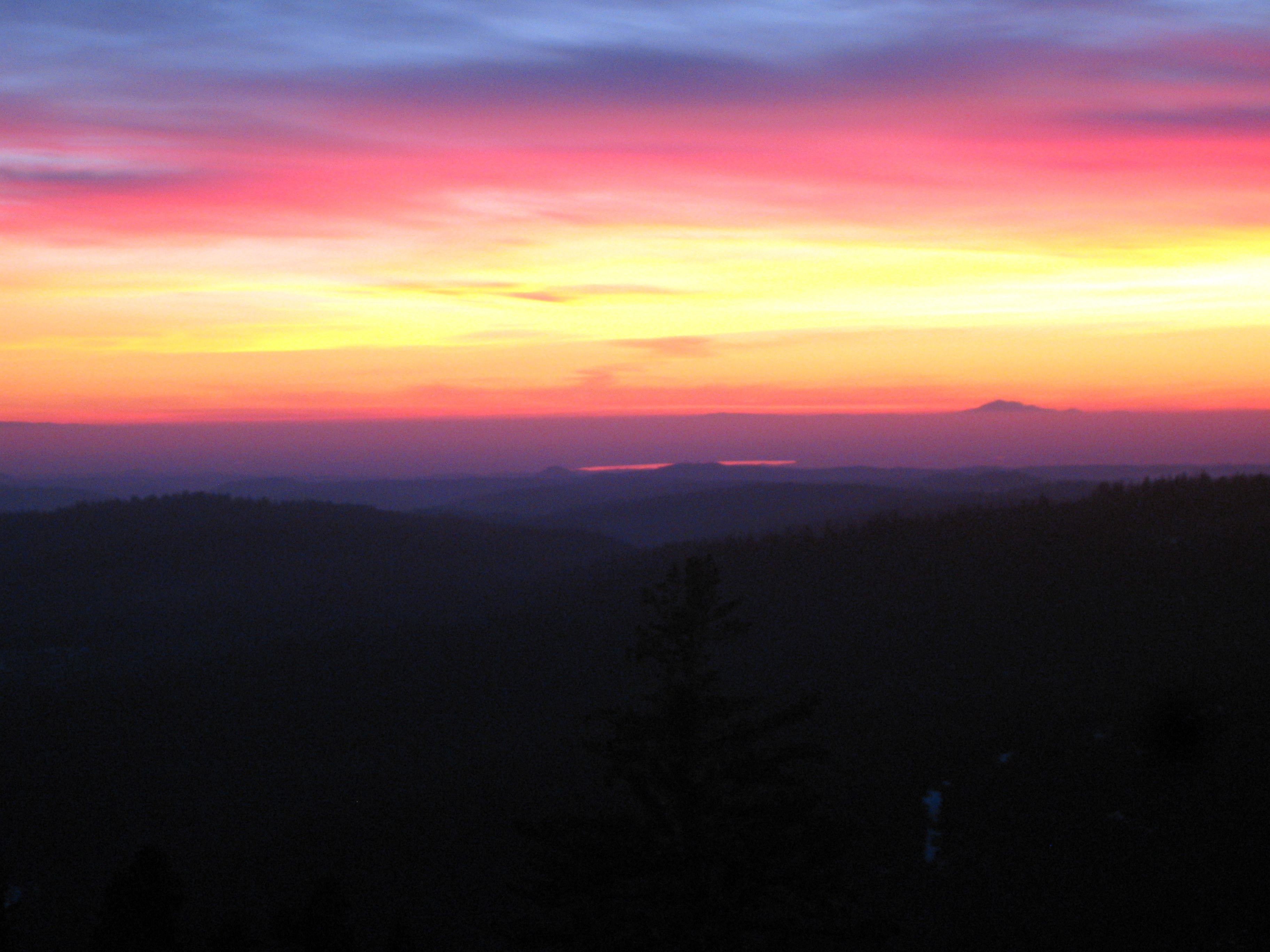
Painted Sky
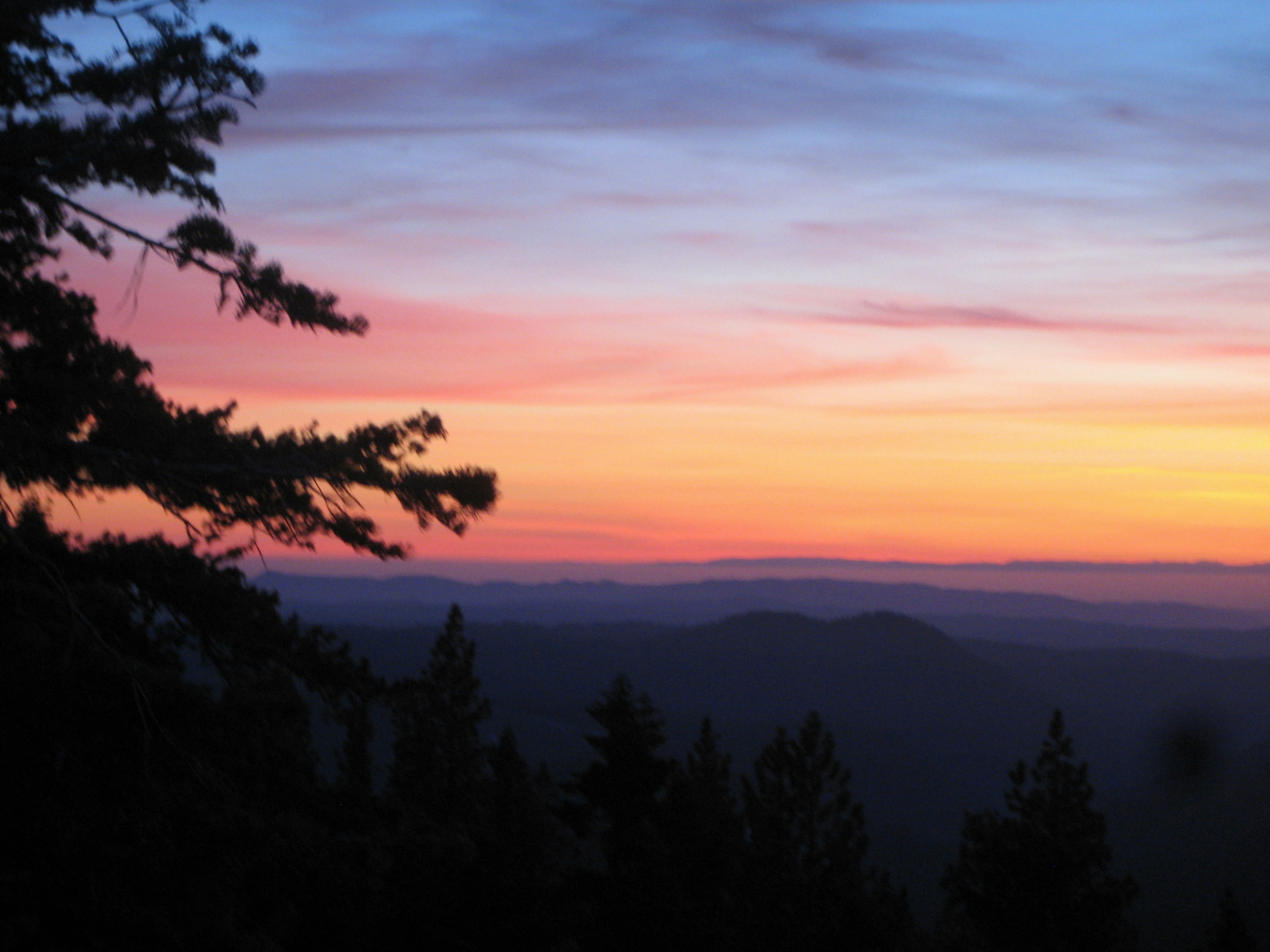
Living Color
Sacramento deluge

First Sunset
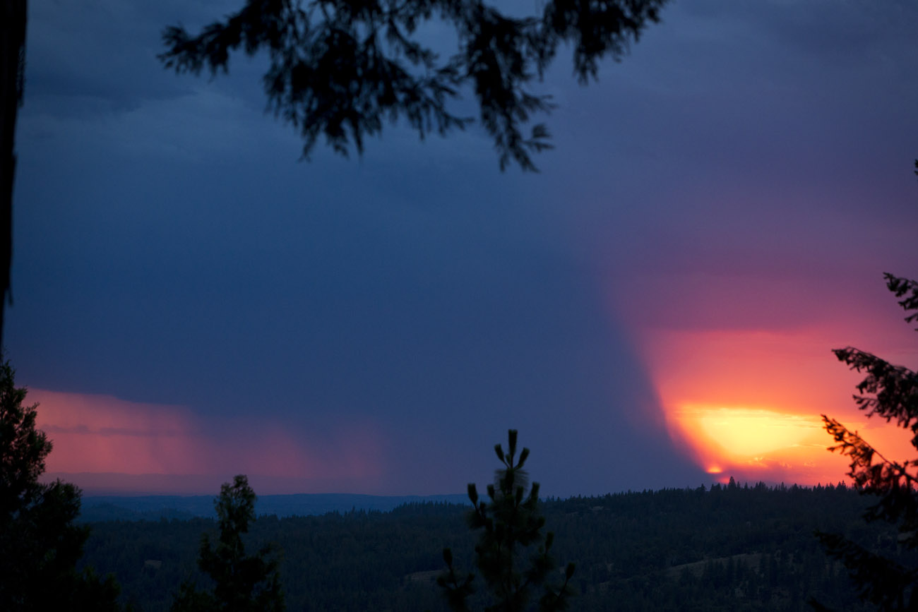
Fire from beyond
#sunset #nature #mountains #pioneer
sunset, hilltop, Red Mule Ranch, Fiddletown,

sunset, "Cowboy Campfire", cowboy, Fiddletown, Red Mule Ranch, Ron Scofield

sunset, men,

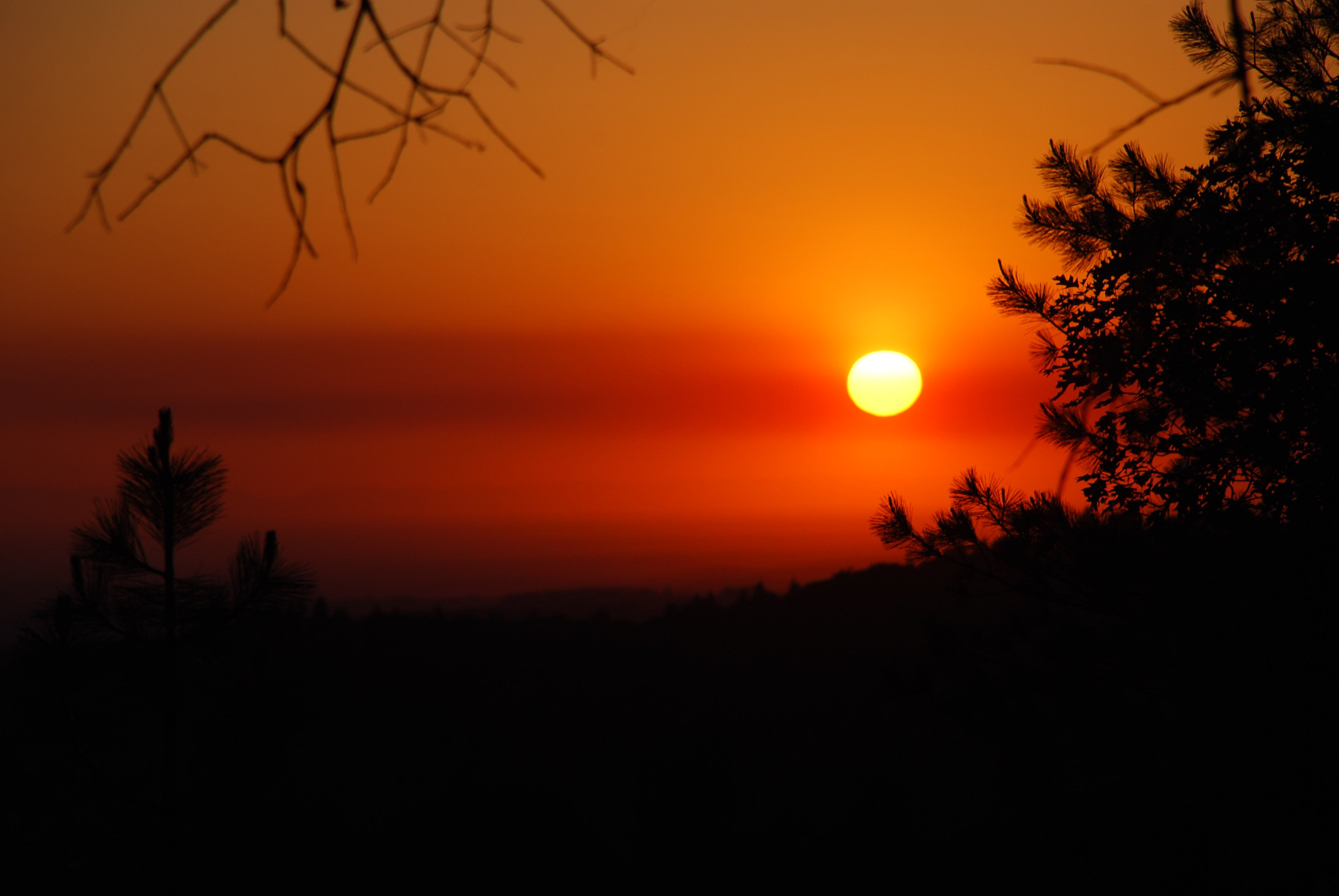
Red Sun

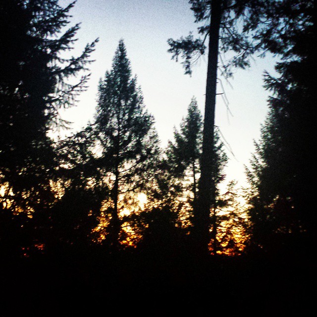
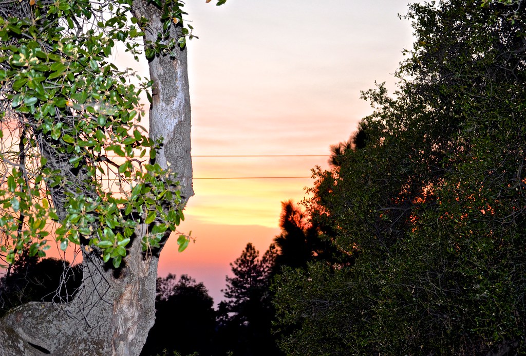
Sunrise through the trees in Amador County

Sunrise through the trees in Amador County

Sunrise through the trees in Amador County

Sunrise through the trees in Amador County

Sunrise through the trees in Amador County

Sunrise through the trees in Amador County

Sunrise through the trees in Amador County

Sunrise Behind the Trees Amador County

Sunrise through the trees in Amador County

Sunrise through the trees in Amador County

Sunrise through the trees in Amador County

Sunrise through the trees in Amador County

Sunrise through the trees in Amador County
Higdon Rd, West Point, CA アメリカ合衆国の地図
別の場所を検索
近所の場所
Bobbie Ln, Pioneer, CA アメリカ合衆国
Kathy Ln, Pioneer, CA アメリカ合衆国
CA-88, Pioneer, CA アメリカ合衆国Pioneer Inn & Suites
CA-88, Pioneer, CA アメリカ合衆国Gallagher's Pub
アメリカ合衆国 〒 カリフォルニア州Pioneer Post Office
Woodfern Dr, Pioneer, CA アメリカ合衆国モリー・ジョイス・パーク
CA-88, Pioneer, CA アメリカ合衆国Pioneer Hardware
アメリカ合衆国 〒 カリフォルニア州 パイオニア
Carson Dr, Pioneer, CA アメリカ合衆国
W Point Pioneer Rd, West Point, CA アメリカ合衆国
Carson Dr, California アメリカ合衆国カーソン・ドライブ
アメリカ合衆国 〒 カリフォルニア州 グレンコー
Ealey Rd, Glencoe, CA アメリカ合衆国
CA-88, Pioneer, CA アメリカ合衆国パイオニア・エレメンタリー・スクール
Meadow Crest Dr, Pioneer, CA アメリカ合衆国
CA-26, Glencoe, CA アメリカ合衆国United States Postal Service
CA-88, Pioneer, CA アメリカ合衆国Le's Chinese Restaurant
Schaefer Ranch Rd, Pioneer, CA アメリカ合衆国
Buckhorn Ridge Rd, Pioneer, CA アメリカ合衆国
Stanley Rd, West Point, CA アメリカ合衆国
最近の検索
- Japan, 〒- Toyama, Kubomotomachi, 12−31 APAガーデンコート稲荷日の出日の入り時間
- 台湾 宜蘭県 大同郷Jialuohu日の出日の入り時間
- 日本、〒- 愛媛県今治市関前大下大下港日の出日の入り時間
- 日本、〒- 愛媛県今治市関前大下1930−1大下港フェリー乗り場日の出日の入り時間
- San Telmo, Buenos Aires, Argentina日の出日の入り時間
- Congressional Dr, Stevensville, MD アメリカ合衆国日の出日の入り時間
- ギリシャ 〒 04 パピンゴ日の出日の入り時間
- Kranto 7-oji g. 8"N, Kaunas, リトアニアPagonija rock日の出日の入り時間
- Co Rd 87, Jamestown, CO, USA日の出日の入り時間
- コロンビア クンディナマルカ テンホ日の出日の入り時間