Boomer Hill Rd, Myrtle Creek, OR アメリカ合衆国日の出日の入り時間
Location: アメリカ合衆国 > オレゴン州 > ダグラス > アメリカ合衆国 〒 オレゴン州 マートル・クリーク >
時間帯:
America/Los_Angeles
現地時間:
2024-05-05 13:12:57
経度:
-123.395227
緯度:
43.02576
今日の日の出時刻:
05:59:11 AM
今日の日の入時刻:
08:21:05 PM
今日の日長:
14h 21m 54s
明日の日の出時刻:
05:57:57 AM
明日の日の入時刻:
08:22:12 PM
明日の日長:
14h 24m 15s
すべて表示する
| 日付 | 日出 | 日没 | 日長 |
|---|---|---|---|
| 2024年01月01日 | 07:44:55 AM | 04:50:00 PM | 9h 5m 5s |
| 2024年01月02日 | 07:44:57 AM | 04:50:54 PM | 9h 5m 57s |
| 2024年01月03日 | 07:44:56 AM | 04:51:50 PM | 9h 6m 54s |
| 2024年01月04日 | 07:44:52 AM | 04:52:47 PM | 9h 7m 55s |
| 2024年01月05日 | 07:44:46 AM | 04:53:46 PM | 9h 9m 0s |
| 2024年01月06日 | 07:44:38 AM | 04:54:47 PM | 9h 10m 9s |
| 2024年01月07日 | 07:44:27 AM | 04:55:49 PM | 9h 11m 22s |
| 2024年01月08日 | 07:44:14 AM | 04:56:52 PM | 9h 12m 38s |
| 2024年01月09日 | 07:43:59 AM | 04:57:57 PM | 9h 13m 58s |
| 2024年01月10日 | 07:43:41 AM | 04:59:03 PM | 9h 15m 22s |
| 2024年01月11日 | 07:43:20 AM | 05:00:10 PM | 9h 16m 50s |
| 2024年01月12日 | 07:42:57 AM | 05:01:19 PM | 9h 18m 22s |
| 2024年01月13日 | 07:42:32 AM | 05:02:28 PM | 9h 19m 56s |
| 2024年01月14日 | 07:42:05 AM | 05:03:39 PM | 9h 21m 34s |
| 2024年01月15日 | 07:41:35 AM | 05:04:50 PM | 9h 23m 15s |
| 2024年01月16日 | 07:41:03 AM | 05:06:03 PM | 9h 25m 0s |
| 2024年01月17日 | 07:40:29 AM | 05:07:16 PM | 9h 26m 47s |
| 2024年01月18日 | 07:39:52 AM | 05:08:30 PM | 9h 28m 38s |
| 2024年01月19日 | 07:39:13 AM | 05:09:45 PM | 9h 30m 32s |
| 2024年01月20日 | 07:38:33 AM | 05:11:01 PM | 9h 32m 28s |
| 2024年01月21日 | 07:37:49 AM | 05:12:17 PM | 9h 34m 28s |
| 2024年01月22日 | 07:37:04 AM | 05:13:34 PM | 9h 36m 30s |
| 2024年01月23日 | 07:36:17 AM | 05:14:51 PM | 9h 38m 34s |
| 2024年01月24日 | 07:35:27 AM | 05:16:09 PM | 9h 40m 42s |
| 2024年01月25日 | 07:34:36 AM | 05:17:27 PM | 9h 42m 51s |
| 2024年01月26日 | 07:33:43 AM | 05:18:46 PM | 9h 45m 3s |
| 2024年01月27日 | 07:32:47 AM | 05:20:05 PM | 9h 47m 18s |
| 2024年01月28日 | 07:31:50 AM | 05:21:24 PM | 9h 49m 34s |
| 2024年01月29日 | 07:30:51 AM | 05:22:44 PM | 9h 51m 53s |
| 2024年01月30日 | 07:29:50 AM | 05:24:03 PM | 9h 54m 13s |
| 2024年01月31日 | 07:28:47 AM | 05:25:23 PM | 9h 56m 36s |
| 2024年02月01日 | 07:27:43 AM | 05:26:43 PM | 9h 59m 0s |
| 2024年02月02日 | 07:26:36 AM | 05:28:03 PM | 10h 1m 27s |
| 2024年02月03日 | 07:25:28 AM | 05:29:24 PM | 10h 3m 56s |
| 2024年02月04日 | 07:24:19 AM | 05:30:44 PM | 10h 6m 25s |
| 2024年02月05日 | 07:23:07 AM | 05:32:04 PM | 10h 8m 57s |
| 2024年02月06日 | 07:21:54 AM | 05:33:24 PM | 10h 11m 30s |
| 2024年02月07日 | 07:20:40 AM | 05:34:45 PM | 10h 14m 5s |
| 2024年02月08日 | 07:19:24 AM | 05:36:05 PM | 10h 16m 41s |
| 2024年02月09日 | 07:18:07 AM | 05:37:25 PM | 10h 19m 18s |
| 2024年02月10日 | 07:16:48 AM | 05:38:44 PM | 10h 21m 56s |
| 2024年02月11日 | 07:15:28 AM | 05:40:04 PM | 10h 24m 36s |
| 2024年02月12日 | 07:14:06 AM | 05:41:24 PM | 10h 27m 18s |
| 2024年02月13日 | 07:12:44 AM | 05:42:43 PM | 10h 29m 59s |
| 2024年02月14日 | 07:11:20 AM | 05:44:02 PM | 10h 32m 42s |
| 2024年02月15日 | 07:09:54 AM | 05:45:21 PM | 10h 35m 27s |
| 2024年02月16日 | 07:08:28 AM | 05:46:40 PM | 10h 38m 12s |
| 2024年02月17日 | 07:07:00 AM | 05:47:58 PM | 10h 40m 58s |
| 2024年02月18日 | 07:05:31 AM | 05:49:17 PM | 10h 43m 46s |
| 2024年02月19日 | 07:04:01 AM | 05:50:35 PM | 10h 46m 34s |
| 2024年02月20日 | 07:02:30 AM | 05:51:52 PM | 10h 49m 22s |
| 2024年02月21日 | 07:00:59 AM | 05:53:10 PM | 10h 52m 11s |
| 2024年02月22日 | 06:59:26 AM | 05:54:27 PM | 10h 55m 1s |
| 2024年02月23日 | 06:57:52 AM | 05:55:44 PM | 10h 57m 52s |
| 2024年02月24日 | 06:56:17 AM | 05:57:00 PM | 11h 0m 43s |
| 2024年02月25日 | 06:54:41 AM | 05:58:17 PM | 11h 3m 36s |
| 2024年02月26日 | 06:53:05 AM | 05:59:33 PM | 11h 6m 28s |
| 2024年02月27日 | 06:51:28 AM | 06:00:48 PM | 11h 9m 20s |
| 2024年02月28日 | 06:49:50 AM | 06:02:04 PM | 11h 12m 14s |
| 2024年02月29日 | 06:48:11 AM | 06:03:19 PM | 11h 15m 8s |
| 2024年03月01日 | 06:46:32 AM | 06:04:34 PM | 11h 18m 2s |
| 2024年03月02日 | 06:44:52 AM | 06:05:48 PM | 11h 20m 56s |
| 2024年03月03日 | 06:43:11 AM | 06:07:03 PM | 11h 23m 52s |
| 2024年03月04日 | 06:41:30 AM | 06:08:17 PM | 11h 26m 47s |
| 2024年03月05日 | 06:39:48 AM | 06:09:30 PM | 11h 29m 42s |
| 2024年03月06日 | 06:38:05 AM | 06:10:44 PM | 11h 32m 39s |
| 2024年03月07日 | 06:36:23 AM | 06:11:57 PM | 11h 35m 34s |
| 2024年03月08日 | 06:34:39 AM | 06:13:10 PM | 11h 38m 31s |
| 2024年03月09日 | 06:32:55 AM | 06:14:23 PM | 11h 41m 28s |
| 2024年03月10日 | 07:31:16 AM | 07:15:32 PM | 11h 44m 16s |
| 2024年03月11日 | 07:29:31 AM | 07:16:45 PM | 11h 47m 14s |
| 2024年03月12日 | 07:27:46 AM | 07:17:57 PM | 11h 50m 11s |
| 2024年03月13日 | 07:26:01 AM | 07:19:08 PM | 11h 53m 7s |
| 2024年03月14日 | 07:24:16 AM | 07:20:20 PM | 11h 56m 4s |
| 2024年03月15日 | 07:22:30 AM | 07:21:32 PM | 11h 59m 2s |
| 2024年03月16日 | 07:20:44 AM | 07:22:43 PM | 12h 1m 59s |
| 2024年03月17日 | 07:18:58 AM | 07:23:54 PM | 12h 4m 56s |
| 2024年03月18日 | 07:17:12 AM | 07:25:05 PM | 12h 7m 53s |
| 2024年03月19日 | 07:15:26 AM | 07:26:16 PM | 12h 10m 50s |
| 2024年03月20日 | 07:13:40 AM | 07:27:26 PM | 12h 13m 46s |
| 2024年03月21日 | 07:11:53 AM | 07:28:37 PM | 12h 16m 44s |
| 2024年03月22日 | 07:10:07 AM | 07:29:47 PM | 12h 19m 40s |
| 2024年03月23日 | 07:08:20 AM | 07:30:57 PM | 12h 22m 37s |
| 2024年03月24日 | 07:06:34 AM | 07:32:08 PM | 12h 25m 34s |
| 2024年03月25日 | 07:04:48 AM | 07:33:18 PM | 12h 28m 30s |
| 2024年03月26日 | 07:03:02 AM | 07:34:28 PM | 12h 31m 26s |
| 2024年03月27日 | 07:01:15 AM | 07:35:37 PM | 12h 34m 22s |
| 2024年03月28日 | 06:59:30 AM | 07:36:47 PM | 12h 37m 17s |
| 2024年03月29日 | 06:57:44 AM | 07:37:57 PM | 12h 40m 13s |
| 2024年03月30日 | 06:55:58 AM | 07:39:07 PM | 12h 43m 9s |
| 2024年03月31日 | 06:54:13 AM | 07:40:17 PM | 12h 46m 4s |
| 2024年04月01日 | 06:52:28 AM | 07:41:26 PM | 12h 48m 58s |
| 2024年04月02日 | 06:50:44 AM | 07:42:36 PM | 12h 51m 52s |
| 2024年04月03日 | 06:48:59 AM | 07:43:45 PM | 12h 54m 46s |
| 2024年04月04日 | 06:47:15 AM | 07:44:55 PM | 12h 57m 40s |
| 2024年04月05日 | 06:45:32 AM | 07:46:05 PM | 13h 0m 33s |
| 2024年04月06日 | 06:43:49 AM | 07:47:14 PM | 13h 3m 25s |
| 2024年04月07日 | 06:42:06 AM | 07:48:24 PM | 13h 6m 18s |
| 2024年04月08日 | 06:40:24 AM | 07:49:33 PM | 13h 9m 9s |
| 2024年04月09日 | 06:38:43 AM | 07:50:43 PM | 13h 12m 0s |
| 2024年04月10日 | 06:37:02 AM | 07:51:52 PM | 13h 14m 50s |
| 2024年04月11日 | 06:35:22 AM | 07:53:02 PM | 13h 17m 40s |
| 2024年04月12日 | 06:33:42 AM | 07:54:12 PM | 13h 20m 30s |
| 2024年04月13日 | 06:32:03 AM | 07:55:21 PM | 13h 23m 18s |
| 2024年04月14日 | 06:30:24 AM | 07:56:31 PM | 13h 26m 7s |
| 2024年04月15日 | 06:28:47 AM | 07:57:40 PM | 13h 28m 53s |
| 2024年04月16日 | 06:27:10 AM | 07:58:50 PM | 13h 31m 40s |
| 2024年04月17日 | 06:25:34 AM | 08:00:00 PM | 13h 34m 26s |
| 2024年04月18日 | 06:23:59 AM | 08:01:09 PM | 13h 37m 10s |
| 2024年04月19日 | 06:22:24 AM | 08:02:19 PM | 13h 39m 55s |
| 2024年04月20日 | 06:20:51 AM | 08:03:28 PM | 13h 42m 37s |
| 2024年04月21日 | 06:19:18 AM | 08:04:38 PM | 13h 45m 20s |
| 2024年04月22日 | 06:17:47 AM | 08:05:47 PM | 13h 48m 0s |
| 2024年04月23日 | 06:16:16 AM | 08:06:57 PM | 13h 50m 41s |
| 2024年04月24日 | 06:14:47 AM | 08:08:06 PM | 13h 53m 19s |
| 2024年04月25日 | 06:13:18 AM | 08:09:15 PM | 13h 55m 57s |
| 2024年04月26日 | 06:11:51 AM | 08:10:24 PM | 13h 58m 33s |
| 2024年04月27日 | 06:10:24 AM | 08:11:33 PM | 14h 1m 9s |
| 2024年04月28日 | 06:08:59 AM | 08:12:42 PM | 14h 3m 43s |
| 2024年04月29日 | 06:07:35 AM | 08:13:51 PM | 14h 6m 16s |
| 2024年04月30日 | 06:06:13 AM | 08:15:00 PM | 14h 8m 47s |
| 2024年05月01日 | 06:04:51 AM | 08:16:08 PM | 14h 11m 17s |
| 2024年05月02日 | 06:03:31 AM | 08:17:16 PM | 14h 13m 45s |
| 2024年05月03日 | 06:02:13 AM | 08:18:24 PM | 14h 16m 11s |
| 2024年05月04日 | 06:00:55 AM | 08:19:32 PM | 14h 18m 37s |
| 2024年05月05日 | 05:59:39 AM | 08:20:40 PM | 14h 21m 1s |
| 2024年05月06日 | 05:58:25 AM | 08:21:47 PM | 14h 23m 22s |
| 2024年05月07日 | 05:57:12 AM | 08:22:54 PM | 14h 25m 42s |
| 2024年05月08日 | 05:56:00 AM | 08:24:00 PM | 14h 28m 0s |
| 2024年05月09日 | 05:54:50 AM | 08:25:06 PM | 14h 30m 16s |
| 2024年05月10日 | 05:53:41 AM | 08:26:12 PM | 14h 32m 31s |
| 2024年05月11日 | 05:52:35 AM | 08:27:17 PM | 14h 34m 42s |
| 2024年05月12日 | 05:51:29 AM | 08:28:22 PM | 14h 36m 53s |
| 2024年05月13日 | 05:50:26 AM | 08:29:26 PM | 14h 39m 0s |
| 2024年05月14日 | 05:49:24 AM | 08:30:30 PM | 14h 41m 6s |
| 2024年05月15日 | 05:48:24 AM | 08:31:33 PM | 14h 43m 9s |
| 2024年05月16日 | 05:47:25 AM | 08:32:35 PM | 14h 45m 10s |
| 2024年05月17日 | 05:46:29 AM | 08:33:37 PM | 14h 47m 8s |
| 2024年05月18日 | 05:45:34 AM | 08:34:38 PM | 14h 49m 4s |
| 2024年05月19日 | 05:44:41 AM | 08:35:38 PM | 14h 50m 57s |
| 2024年05月20日 | 05:43:50 AM | 08:36:37 PM | 14h 52m 47s |
| 2024年05月21日 | 05:43:01 AM | 08:37:36 PM | 14h 54m 35s |
| 2024年05月22日 | 05:42:14 AM | 08:38:33 PM | 14h 56m 19s |
| 2024年05月23日 | 05:41:29 AM | 08:39:30 PM | 14h 58m 1s |
| 2024年05月24日 | 05:40:45 AM | 08:40:26 PM | 14h 59m 41s |
| 2024年05月25日 | 05:40:04 AM | 08:41:20 PM | 15h 1m 16s |
| 2024年05月26日 | 05:39:25 AM | 08:42:14 PM | 15h 2m 49s |
| 2024年05月27日 | 05:38:48 AM | 08:43:07 PM | 15h 4m 19s |
| 2024年05月28日 | 05:38:13 AM | 08:43:58 PM | 15h 5m 45s |
| 2024年05月29日 | 05:37:39 AM | 08:44:48 PM | 15h 7m 9s |
| 2024年05月30日 | 05:37:08 AM | 08:45:37 PM | 15h 8m 29s |
| 2024年05月31日 | 05:36:40 AM | 08:46:24 PM | 15h 9m 44s |
| 2024年06月01日 | 05:36:13 AM | 08:47:10 PM | 15h 10m 57s |
| 2024年06月02日 | 05:35:48 AM | 08:47:55 PM | 15h 12m 7s |
| 2024年06月03日 | 05:35:26 AM | 08:48:38 PM | 15h 13m 12s |
| 2024年06月04日 | 05:35:05 AM | 08:49:20 PM | 15h 14m 15s |
| 2024年06月05日 | 05:34:47 AM | 08:50:00 PM | 15h 15m 13s |
| 2024年06月06日 | 05:34:31 AM | 08:50:39 PM | 15h 16m 8s |
| 2024年06月07日 | 05:34:17 AM | 08:51:16 PM | 15h 16m 59s |
| 2024年06月08日 | 05:34:06 AM | 08:51:51 PM | 15h 17m 45s |
| 2024年06月09日 | 05:33:56 AM | 08:52:25 PM | 15h 18m 29s |
| 2024年06月10日 | 05:33:49 AM | 08:52:57 PM | 15h 19m 8s |
| 2024年06月11日 | 05:33:44 AM | 08:53:27 PM | 15h 19m 43s |
| 2024年06月12日 | 05:33:41 AM | 08:53:55 PM | 15h 20m 14s |
| 2024年06月13日 | 05:33:40 AM | 08:54:22 PM | 15h 20m 42s |
| 2024年06月14日 | 05:33:41 AM | 08:54:46 PM | 15h 21m 5s |
| 2024年06月15日 | 05:33:44 AM | 08:55:09 PM | 15h 21m 25s |
| 2024年06月16日 | 05:33:50 AM | 08:55:29 PM | 15h 21m 39s |
| 2024年06月17日 | 05:33:57 AM | 08:55:48 PM | 15h 21m 51s |
| 2024年06月18日 | 05:34:07 AM | 08:56:05 PM | 15h 21m 58s |
| 2024年06月19日 | 05:34:18 AM | 08:56:19 PM | 15h 22m 1s |
| 2024年06月20日 | 05:34:32 AM | 08:56:32 PM | 15h 22m 0s |
| 2024年06月21日 | 05:34:48 AM | 08:56:42 PM | 15h 21m 54s |
| 2024年06月22日 | 05:35:05 AM | 08:56:50 PM | 15h 21m 45s |
| 2024年06月23日 | 05:35:25 AM | 08:56:57 PM | 15h 21m 32s |
| 2024年06月24日 | 05:35:46 AM | 08:57:01 PM | 15h 21m 15s |
| 2024年06月25日 | 05:36:09 AM | 08:57:02 PM | 15h 20m 53s |
| 2024年06月26日 | 05:36:35 AM | 08:57:02 PM | 15h 20m 27s |
| 2024年06月27日 | 05:37:01 AM | 08:57:00 PM | 15h 19m 59s |
| 2024年06月28日 | 05:37:30 AM | 08:56:55 PM | 15h 19m 25s |
| 2024年06月29日 | 05:38:01 AM | 08:56:48 PM | 15h 18m 47s |
| 2024年06月30日 | 05:38:33 AM | 08:56:39 PM | 15h 18m 6s |
| 2024年07月01日 | 05:39:07 AM | 08:56:27 PM | 15h 17m 20s |
| 2024年07月02日 | 05:39:42 AM | 08:56:14 PM | 15h 16m 32s |
| 2024年07月03日 | 05:40:19 AM | 08:55:58 PM | 15h 15m 39s |
| 2024年07月04日 | 05:40:57 AM | 08:55:40 PM | 15h 14m 43s |
| 2024年07月05日 | 05:41:37 AM | 08:55:20 PM | 15h 13m 43s |
| 2024年07月06日 | 05:42:19 AM | 08:54:58 PM | 15h 12m 39s |
| 2024年07月07日 | 05:43:01 AM | 08:54:33 PM | 15h 11m 32s |
| 2024年07月08日 | 05:43:46 AM | 08:54:07 PM | 15h 10m 21s |
| 2024年07月09日 | 05:44:31 AM | 08:53:38 PM | 15h 9m 7s |
| 2024年07月10日 | 05:45:18 AM | 08:53:07 PM | 15h 7m 49s |
| 2024年07月11日 | 05:46:06 AM | 08:52:34 PM | 15h 6m 28s |
| 2024年07月12日 | 05:46:55 AM | 08:51:58 PM | 15h 5m 3s |
| 2024年07月13日 | 05:47:45 AM | 08:51:21 PM | 15h 3m 36s |
| 2024年07月14日 | 05:48:36 AM | 08:50:42 PM | 15h 2m 6s |
| 2024年07月15日 | 05:49:28 AM | 08:50:00 PM | 15h 0m 32s |
| 2024年07月16日 | 05:50:22 AM | 08:49:17 PM | 14h 58m 55s |
| 2024年07月17日 | 05:51:16 AM | 08:48:31 PM | 14h 57m 15s |
| 2024年07月18日 | 05:52:11 AM | 08:47:44 PM | 14h 55m 33s |
| 2024年07月19日 | 05:53:07 AM | 08:46:54 PM | 14h 53m 47s |
| 2024年07月20日 | 05:54:03 AM | 08:46:03 PM | 14h 52m 0s |
| 2024年07月21日 | 05:55:01 AM | 08:45:10 PM | 14h 50m 9s |
| 2024年07月22日 | 05:55:59 AM | 08:44:15 PM | 14h 48m 16s |
| 2024年07月23日 | 05:56:58 AM | 08:43:18 PM | 14h 46m 20s |
| 2024年07月24日 | 05:57:57 AM | 08:42:19 PM | 14h 44m 22s |
| 2024年07月25日 | 05:58:57 AM | 08:41:18 PM | 14h 42m 21s |
| 2024年07月26日 | 05:59:58 AM | 08:40:16 PM | 14h 40m 18s |
| 2024年07月27日 | 06:00:59 AM | 08:39:12 PM | 14h 38m 13s |
| 2024年07月28日 | 06:02:01 AM | 08:38:06 PM | 14h 36m 5s |
| 2024年07月29日 | 06:03:03 AM | 08:36:59 PM | 14h 33m 56s |
| 2024年07月30日 | 06:04:05 AM | 08:35:50 PM | 14h 31m 45s |
| 2024年07月31日 | 06:05:08 AM | 08:34:39 PM | 14h 29m 31s |
| 2024年08月01日 | 06:06:11 AM | 08:33:27 PM | 14h 27m 16s |
| 2024年08月02日 | 06:07:15 AM | 08:32:13 PM | 14h 24m 58s |
| 2024年08月03日 | 06:08:18 AM | 08:30:58 PM | 14h 22m 40s |
| 2024年08月04日 | 06:09:22 AM | 08:29:41 PM | 14h 20m 19s |
| 2024年08月05日 | 06:10:27 AM | 08:28:23 PM | 14h 17m 56s |
| 2024年08月06日 | 06:11:31 AM | 08:27:03 PM | 14h 15m 32s |
| 2024年08月07日 | 06:12:36 AM | 08:25:42 PM | 14h 13m 6s |
| 2024年08月08日 | 06:13:41 AM | 08:24:20 PM | 14h 10m 39s |
| 2024年08月09日 | 06:14:46 AM | 08:22:57 PM | 14h 8m 11s |
| 2024年08月10日 | 06:15:51 AM | 08:21:32 PM | 14h 5m 41s |
| 2024年08月11日 | 06:16:56 AM | 08:20:06 PM | 14h 3m 10s |
| 2024年08月12日 | 06:18:01 AM | 08:18:39 PM | 14h 0m 38s |
| 2024年08月13日 | 06:19:07 AM | 08:17:11 PM | 13h 58m 4s |
| 2024年08月14日 | 06:20:12 AM | 08:15:41 PM | 13h 55m 29s |
| 2024年08月15日 | 06:21:18 AM | 08:14:11 PM | 13h 52m 53s |
| 2024年08月16日 | 06:22:23 AM | 08:12:39 PM | 13h 50m 16s |
| 2024年08月17日 | 06:23:29 AM | 08:11:06 PM | 13h 47m 37s |
| 2024年08月18日 | 06:24:34 AM | 08:09:33 PM | 13h 44m 59s |
| 2024年08月19日 | 06:25:40 AM | 08:07:58 PM | 13h 42m 18s |
| 2024年08月20日 | 06:26:45 AM | 08:06:23 PM | 13h 39m 38s |
| 2024年08月21日 | 06:27:51 AM | 08:04:47 PM | 13h 36m 56s |
| 2024年08月22日 | 06:28:56 AM | 08:03:09 PM | 13h 34m 13s |
| 2024年08月23日 | 06:30:02 AM | 08:01:31 PM | 13h 31m 29s |
| 2024年08月24日 | 06:31:07 AM | 07:59:53 PM | 13h 28m 46s |
| 2024年08月25日 | 06:32:12 AM | 07:58:13 PM | 13h 26m 1s |
| 2024年08月26日 | 06:33:18 AM | 07:56:33 PM | 13h 23m 15s |
| 2024年08月27日 | 06:34:23 AM | 07:54:52 PM | 13h 20m 29s |
| 2024年08月28日 | 06:35:28 AM | 07:53:10 PM | 13h 17m 42s |
| 2024年08月29日 | 06:36:33 AM | 07:51:28 PM | 13h 14m 55s |
| 2024年08月30日 | 06:37:39 AM | 07:49:45 PM | 13h 12m 6s |
| 2024年08月31日 | 06:38:44 AM | 07:48:01 PM | 13h 9m 17s |
| 2024年09月01日 | 06:39:49 AM | 07:46:18 PM | 13h 6m 29s |
| 2024年09月02日 | 06:40:54 AM | 07:44:33 PM | 13h 3m 39s |
| 2024年09月03日 | 06:41:59 AM | 07:42:48 PM | 13h 0m 49s |
| 2024年09月04日 | 06:43:04 AM | 07:41:03 PM | 12h 57m 59s |
| 2024年09月05日 | 06:44:09 AM | 07:39:17 PM | 12h 55m 8s |
| 2024年09月06日 | 06:45:14 AM | 07:37:31 PM | 12h 52m 17s |
| 2024年09月07日 | 06:46:19 AM | 07:35:44 PM | 12h 49m 25s |
| 2024年09月08日 | 06:47:24 AM | 07:33:57 PM | 12h 46m 33s |
| 2024年09月09日 | 06:48:29 AM | 07:32:10 PM | 12h 43m 41s |
| 2024年09月10日 | 06:49:35 AM | 07:30:23 PM | 12h 40m 48s |
| 2024年09月11日 | 06:50:40 AM | 07:28:35 PM | 12h 37m 55s |
| 2024年09月12日 | 06:51:45 AM | 07:26:47 PM | 12h 35m 2s |
| 2024年09月13日 | 06:52:50 AM | 07:24:59 PM | 12h 32m 9s |
| 2024年09月14日 | 06:53:55 AM | 07:23:11 PM | 12h 29m 16s |
| 2024年09月15日 | 06:55:01 AM | 07:21:23 PM | 12h 26m 22s |
| 2024年09月16日 | 06:56:06 AM | 07:19:34 PM | 12h 23m 28s |
| 2024年09月17日 | 06:57:12 AM | 07:17:46 PM | 12h 20m 34s |
| 2024年09月18日 | 06:58:17 AM | 07:15:58 PM | 12h 17m 41s |
| 2024年09月19日 | 06:59:23 AM | 07:14:09 PM | 12h 14m 46s |
| 2024年09月20日 | 07:00:29 AM | 07:12:21 PM | 12h 11m 52s |
| 2024年09月21日 | 07:01:35 AM | 07:10:33 PM | 12h 8m 58s |
| 2024年09月22日 | 07:02:41 AM | 07:08:44 PM | 12h 6m 3s |
| 2024年09月23日 | 07:03:48 AM | 07:06:56 PM | 12h 3m 8s |
| 2024年09月24日 | 07:04:54 AM | 07:05:08 PM | 12h 0m 14s |
| 2024年09月25日 | 07:06:01 AM | 07:03:21 PM | 11h 57m 20s |
| 2024年09月26日 | 07:07:08 AM | 07:01:33 PM | 11h 54m 25s |
| 2024年09月27日 | 07:08:15 AM | 06:59:46 PM | 11h 51m 31s |
| 2024年09月28日 | 07:09:22 AM | 06:57:59 PM | 11h 48m 37s |
| 2024年09月29日 | 07:10:29 AM | 06:56:12 PM | 11h 45m 43s |
| 2024年09月30日 | 07:11:37 AM | 06:54:26 PM | 11h 42m 49s |
| 2024年10月01日 | 07:12:45 AM | 06:52:40 PM | 11h 39m 55s |
| 2024年10月02日 | 07:13:53 AM | 06:50:55 PM | 11h 37m 2s |
| 2024年10月03日 | 07:15:02 AM | 06:49:09 PM | 11h 34m 7s |
| 2024年10月04日 | 07:16:10 AM | 06:47:25 PM | 11h 31m 15s |
| 2024年10月05日 | 07:17:19 AM | 06:45:41 PM | 11h 28m 22s |
| 2024年10月06日 | 07:18:29 AM | 06:43:57 PM | 11h 25m 28s |
| 2024年10月07日 | 07:19:38 AM | 06:42:14 PM | 11h 22m 36s |
| 2024年10月08日 | 07:20:48 AM | 06:40:32 PM | 11h 19m 44s |
| 2024年10月09日 | 07:21:58 AM | 06:38:50 PM | 11h 16m 52s |
| 2024年10月10日 | 07:23:09 AM | 06:37:09 PM | 11h 14m 0s |
| 2024年10月11日 | 07:24:19 AM | 06:35:28 PM | 11h 11m 9s |
| 2024年10月12日 | 07:25:30 AM | 06:33:49 PM | 11h 8m 19s |
| 2024年10月13日 | 07:26:42 AM | 06:32:10 PM | 11h 5m 28s |
| 2024年10月14日 | 07:27:53 AM | 06:30:32 PM | 11h 2m 39s |
| 2024年10月15日 | 07:29:05 AM | 06:28:54 PM | 10h 59m 49s |
| 2024年10月16日 | 07:30:18 AM | 06:27:18 PM | 10h 57m 0s |
| 2024年10月17日 | 07:31:30 AM | 06:25:42 PM | 10h 54m 12s |
| 2024年10月18日 | 07:32:43 AM | 06:24:08 PM | 10h 51m 25s |
| 2024年10月19日 | 07:33:57 AM | 06:22:34 PM | 10h 48m 37s |
| 2024年10月20日 | 07:35:10 AM | 06:21:01 PM | 10h 45m 51s |
| 2024年10月21日 | 07:36:24 AM | 06:19:30 PM | 10h 43m 6s |
| 2024年10月22日 | 07:37:38 AM | 06:17:59 PM | 10h 40m 21s |
| 2024年10月23日 | 07:38:53 AM | 06:16:30 PM | 10h 37m 37s |
| 2024年10月24日 | 07:40:07 AM | 06:15:02 PM | 10h 34m 55s |
| 2024年10月25日 | 07:41:22 AM | 06:13:35 PM | 10h 32m 13s |
| 2024年10月26日 | 07:42:38 AM | 06:12:09 PM | 10h 29m 31s |
| 2024年10月27日 | 07:43:53 AM | 06:10:45 PM | 10h 26m 52s |
| 2024年10月28日 | 07:45:09 AM | 06:09:21 PM | 10h 24m 12s |
| 2024年10月29日 | 07:46:25 AM | 06:07:59 PM | 10h 21m 34s |
| 2024年10月30日 | 07:47:41 AM | 06:06:39 PM | 10h 18m 58s |
| 2024年10月31日 | 07:48:57 AM | 06:05:20 PM | 10h 16m 23s |
| 2024年11月01日 | 07:50:13 AM | 06:04:02 PM | 10h 13m 49s |
| 2024年11月02日 | 07:51:30 AM | 06:02:46 PM | 10h 11m 16s |
| 2024年11月03日 | 06:52:50 AM | 05:01:29 PM | 10h 8m 39s |
| 2024年11月04日 | 06:54:07 AM | 05:00:16 PM | 10h 6m 9s |
| 2024年11月05日 | 06:55:23 AM | 04:59:04 PM | 10h 3m 41s |
| 2024年11月06日 | 06:56:40 AM | 04:57:55 PM | 10h 1m 15s |
| 2024年11月07日 | 06:57:57 AM | 04:56:47 PM | 9h 58m 50s |
| 2024年11月08日 | 06:59:14 AM | 04:55:41 PM | 9h 56m 27s |
| 2024年11月09日 | 07:00:30 AM | 04:54:36 PM | 9h 54m 6s |
| 2024年11月10日 | 07:01:47 AM | 04:53:33 PM | 9h 51m 46s |
| 2024年11月11日 | 07:03:03 AM | 04:52:33 PM | 9h 49m 30s |
| 2024年11月12日 | 07:04:20 AM | 04:51:34 PM | 9h 47m 14s |
| 2024年11月13日 | 07:05:36 AM | 04:50:37 PM | 9h 45m 1s |
| 2024年11月14日 | 07:06:52 AM | 04:49:42 PM | 9h 42m 50s |
| 2024年11月15日 | 07:08:07 AM | 04:48:49 PM | 9h 40m 42s |
| 2024年11月16日 | 07:09:22 AM | 04:47:58 PM | 9h 38m 36s |
| 2024年11月17日 | 07:10:37 AM | 04:47:09 PM | 9h 36m 32s |
| 2024年11月18日 | 07:11:51 AM | 04:46:22 PM | 9h 34m 31s |
| 2024年11月19日 | 07:13:05 AM | 04:45:37 PM | 9h 32m 32s |
| 2024年11月20日 | 07:14:18 AM | 04:44:55 PM | 9h 30m 37s |
| 2024年11月21日 | 07:15:30 AM | 04:44:14 PM | 9h 28m 44s |
| 2024年11月22日 | 07:16:42 AM | 04:43:36 PM | 9h 26m 54s |
| 2024年11月23日 | 07:17:54 AM | 04:43:00 PM | 9h 25m 6s |
| 2024年11月24日 | 07:19:04 AM | 04:42:27 PM | 9h 23m 23s |
| 2024年11月25日 | 07:20:14 AM | 04:41:55 PM | 9h 21m 41s |
| 2024年11月26日 | 07:21:22 AM | 04:41:26 PM | 9h 20m 4s |
| 2024年11月27日 | 07:22:30 AM | 04:41:00 PM | 9h 18m 30s |
| 2024年11月28日 | 07:23:37 AM | 04:40:36 PM | 9h 16m 59s |
| 2024年11月29日 | 07:24:42 AM | 04:40:14 PM | 9h 15m 32s |
| 2024年11月30日 | 07:25:47 AM | 04:39:54 PM | 9h 14m 7s |
| 2024年12月01日 | 07:26:50 AM | 04:39:37 PM | 9h 12m 47s |
| 2024年12月02日 | 07:27:53 AM | 04:39:23 PM | 9h 11m 30s |
| 2024年12月03日 | 07:28:53 AM | 04:39:11 PM | 9h 10m 18s |
| 2024年12月04日 | 07:29:53 AM | 04:39:01 PM | 9h 9m 8s |
| 2024年12月05日 | 07:30:51 AM | 04:38:54 PM | 9h 8m 3s |
| 2024年12月06日 | 07:31:47 AM | 04:38:50 PM | 9h 7m 3s |
| 2024年12月07日 | 07:32:43 AM | 04:38:47 PM | 9h 6m 4s |
| 2024年12月08日 | 07:33:36 AM | 04:38:48 PM | 9h 5m 12s |
| 2024年12月09日 | 07:34:28 AM | 04:38:51 PM | 9h 4m 23s |
| 2024年12月10日 | 07:35:18 AM | 04:38:56 PM | 9h 3m 38s |
| 2024年12月11日 | 07:36:06 AM | 04:39:04 PM | 9h 2m 58s |
| 2024年12月12日 | 07:36:53 AM | 04:39:14 PM | 9h 2m 21s |
| 2024年12月13日 | 07:37:37 AM | 04:39:27 PM | 9h 1m 50s |
| 2024年12月14日 | 07:38:20 AM | 04:39:42 PM | 9h 1m 22s |
| 2024年12月15日 | 07:39:01 AM | 04:40:00 PM | 9h 0m 59s |
| 2024年12月16日 | 07:39:40 AM | 04:40:20 PM | 9h 0m 40s |
| 2024年12月17日 | 07:40:16 AM | 04:40:42 PM | 9h 0m 26s |
| 2024年12月18日 | 07:40:51 AM | 04:41:07 PM | 9h 0m 16s |
| 2024年12月19日 | 07:41:23 AM | 04:41:34 PM | 9h 0m 11s |
| 2024年12月20日 | 07:41:53 AM | 04:42:03 PM | 9h 0m 10s |
| 2024年12月21日 | 07:42:22 AM | 04:42:35 PM | 9h 0m 13s |
| 2024年12月22日 | 07:42:47 AM | 04:43:09 PM | 9h 0m 22s |
| 2024年12月23日 | 07:43:11 AM | 04:43:45 PM | 9h 0m 34s |
| 2024年12月24日 | 07:43:32 AM | 04:44:23 PM | 9h 0m 51s |
| 2024年12月25日 | 07:43:51 AM | 04:45:03 PM | 9h 1m 12s |
| 2024年12月26日 | 07:44:07 AM | 04:45:46 PM | 9h 1m 39s |
| 2024年12月27日 | 07:44:22 AM | 04:46:30 PM | 9h 2m 8s |
| 2024年12月28日 | 07:44:33 AM | 04:47:16 PM | 9h 2m 43s |
| 2024年12月29日 | 07:44:43 AM | 04:48:05 PM | 9h 3m 22s |
| 2024年12月30日 | 07:44:50 AM | 04:48:55 PM | 9h 4m 5s |
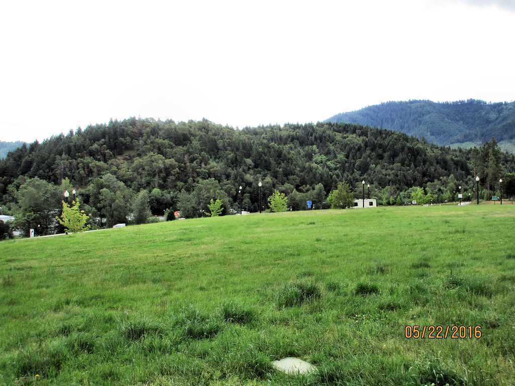
写真
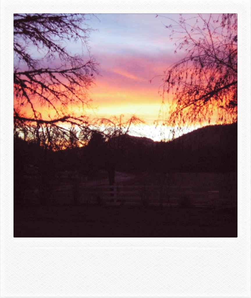
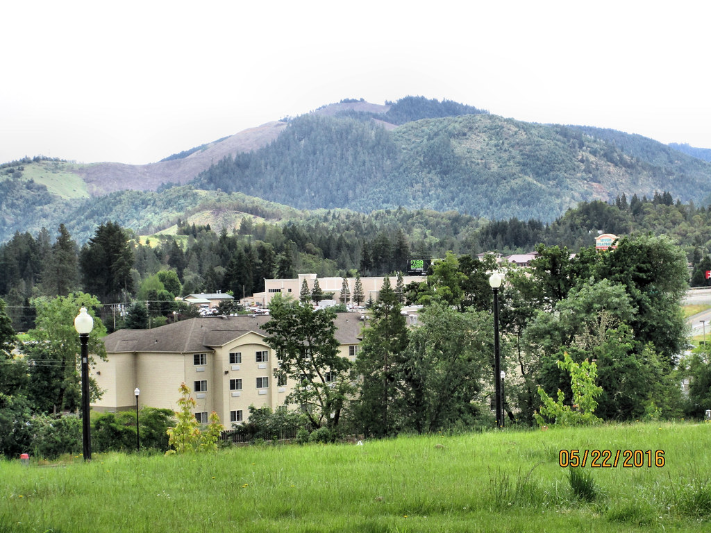
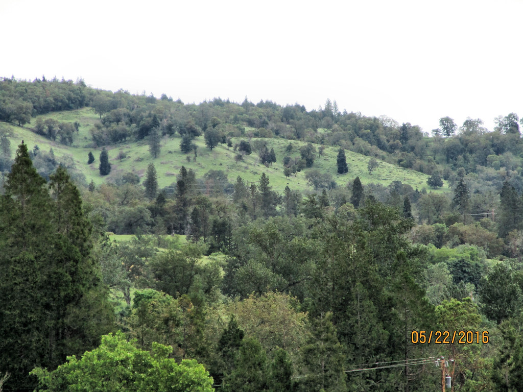
A view declining

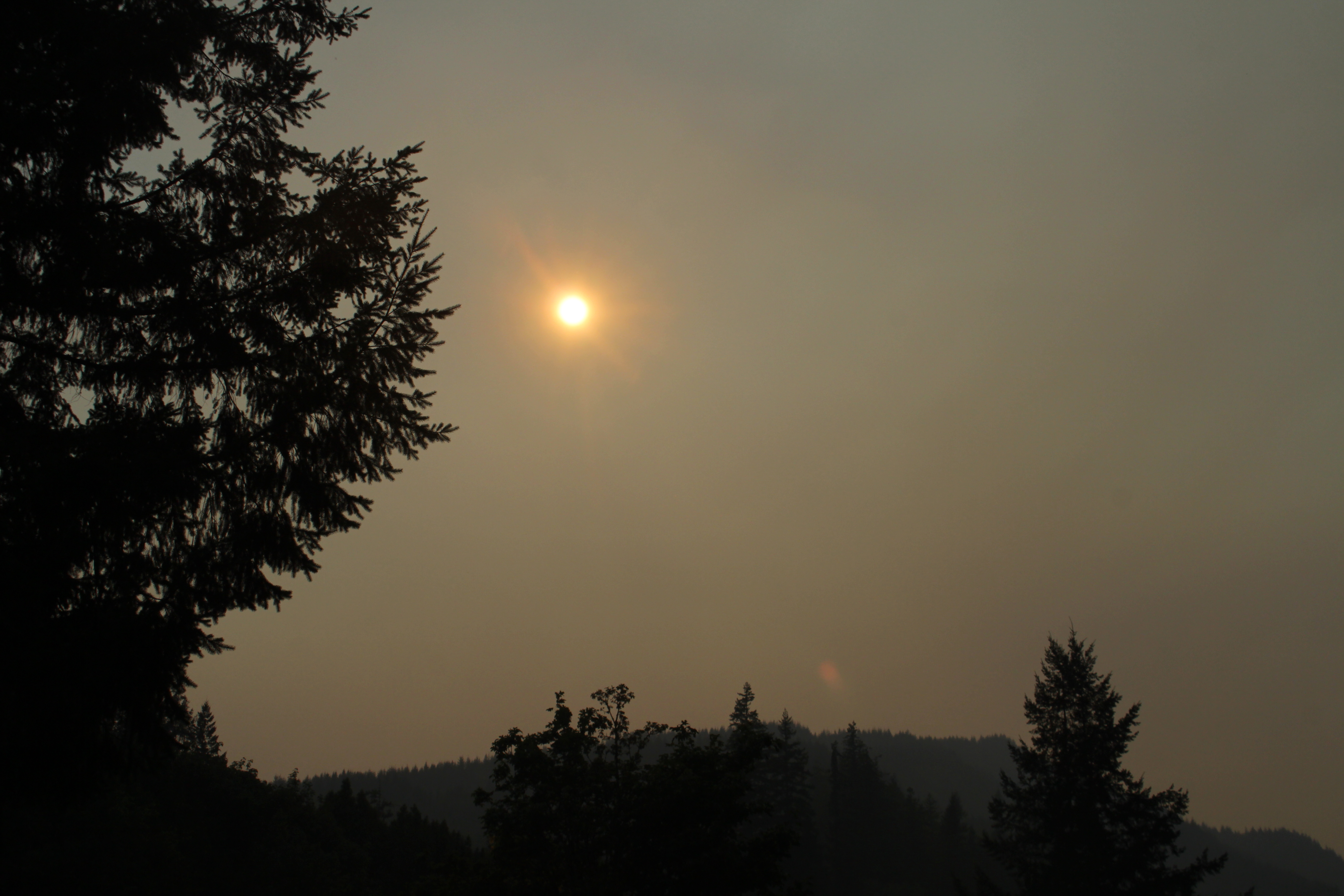
At one point, ash was falling from the sky
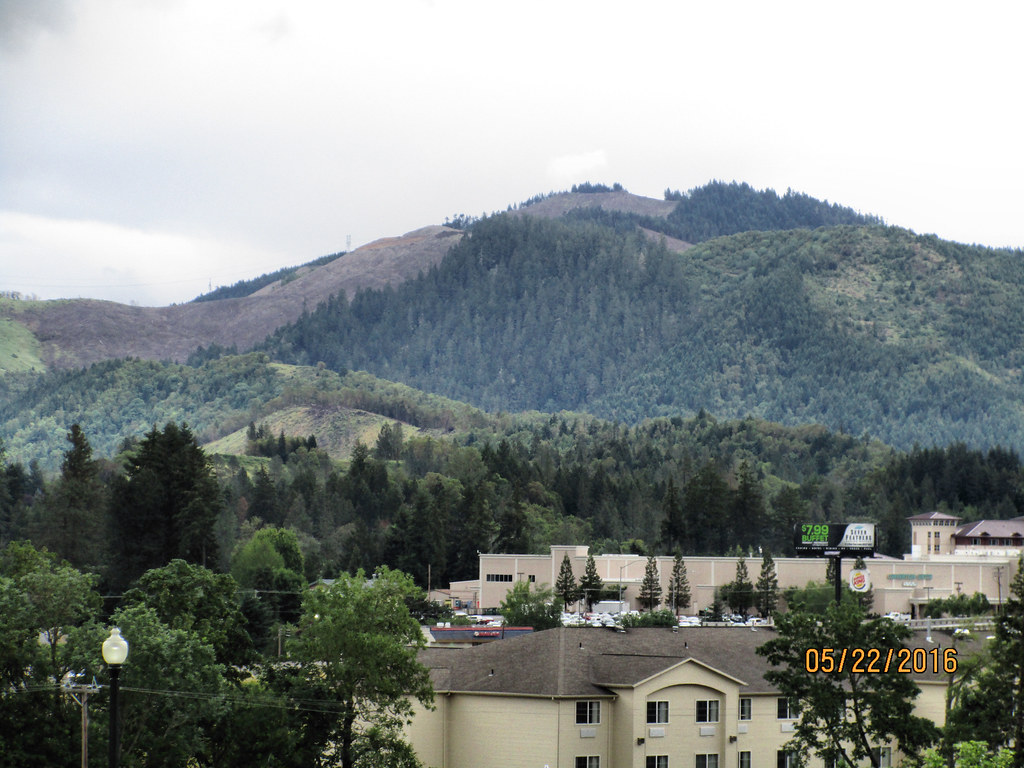
My backyard view, in the afternoon
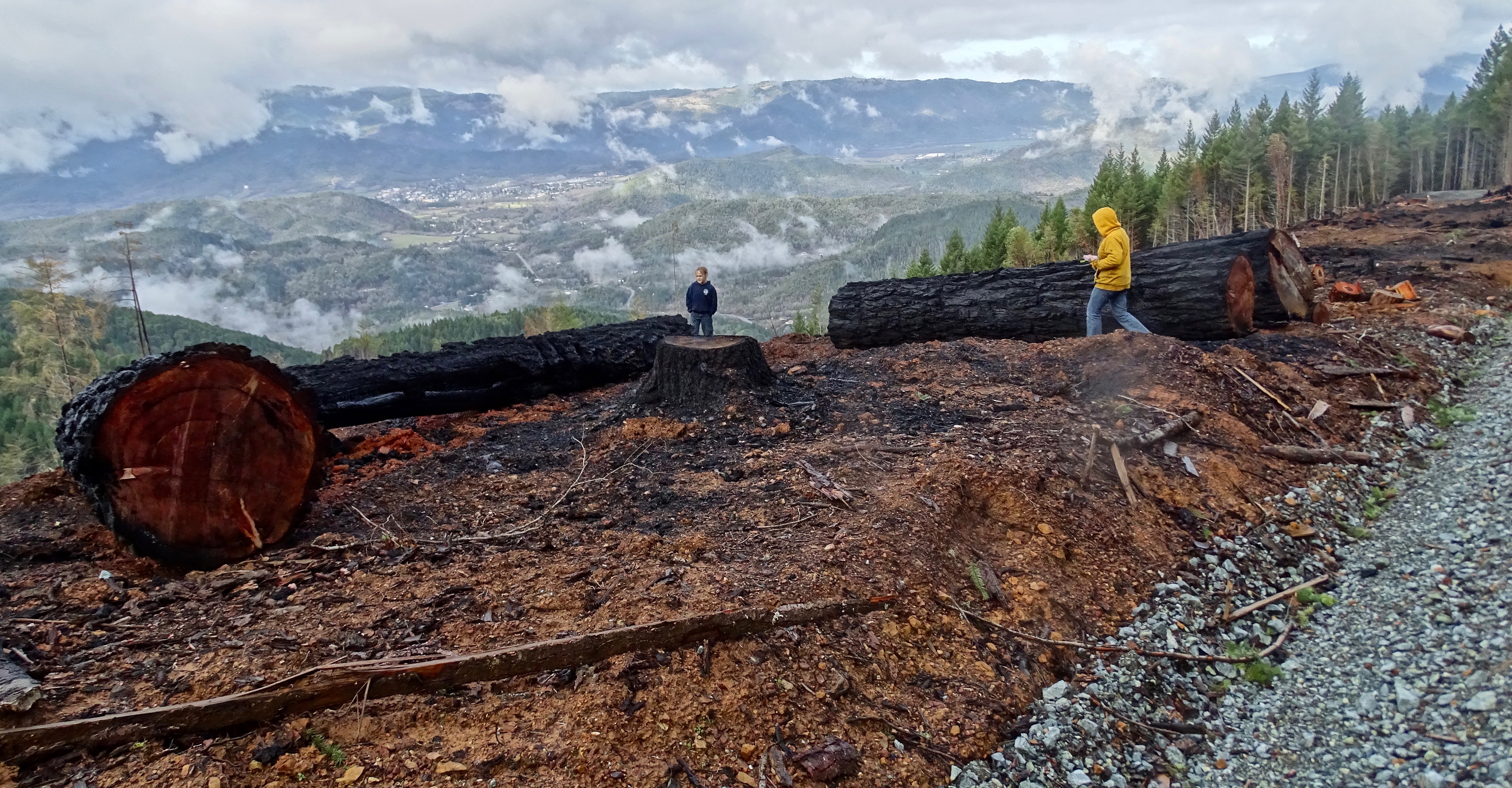
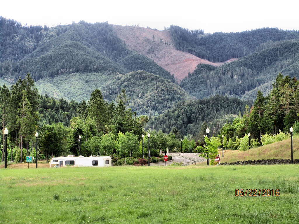
Cow Creek Tribal timber sale: Gold Bluff
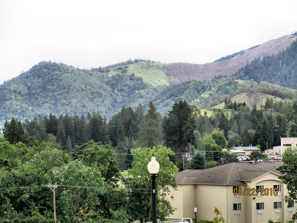
CAN-0522-009 - View
CAN-0522-011 - View
CAN-0522-007 - View
CAN-0522-008 - View
CAN-0522-006 - View
CAN-0522-010 - View
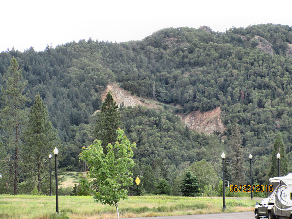
CAN-0522-012 - View
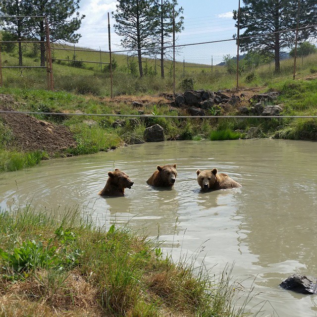
Epic view and experience right now!!! #thethreebears #wildlifesafari #roadtripping #weekendadventures #instapdx #igers_portland #jj_oregon #exploregon #oregonexplored #rsa_nature #bear
Boomer Hill Rd, Myrtle Creek, OR アメリカ合衆国の地図
別の場所を検索
近所の場所
Boomer Hill Rd, Myrtle Creek, OR アメリカ合衆国
Raleigh Dr, Winston, OR アメリカ合衆国ラリー・ドライブ
Skyline Dr, Myrtle Creek, OR アメリカ合衆国
アメリカ合衆国 〒 オレゴン州 リドル
Old Hwy 99 S, Winston, OR アメリカ合衆国
Reston Ave, Winston, OR アメリカ合衆国
Reston Ave, Winston, OR アメリカ合衆国
Old Hwy 99 S, Winston, OR アメリカ合衆国
5th St, Winston, OR アメリカ合衆国
アメリカ合衆国 〒 オレゴン州 ウィンストン
アメリカ合衆国 〒 オレゴン州 マートル・クリーク
Pinnacle Ln, Roseburg, OR アメリカ合衆国
アメリカ合衆国 〒 オレゴン州 サプライズ・バレー
Austin Rd, Roseburg, OR アメリカ合衆国
Creekside Rd, Canyonville, OR アメリカ合衆国
アメリカ合衆国 オレゴン州 キャニオンビル
Old Hwy 99 S, Roseburg, OR アメリカ合衆国
Upper Olalla Rd, Winston, OR アメリカ合衆国
Tenmile Valley Rd, Tenmile, OR アメリカ合衆国
アメリカ合衆国 オレゴン州 ローズバーグ
最近の検索
- Presidente Quintana & Emilio Mitre, Carlos Keen, Provincia de Buenos Aires, Argentina日の出日の入り時間
- Deep Gap Farm Rd E, Mill Spring, NC, USA日の出日の入り時間
- 中華人民共和国 広東省 仏山市 南海区 九江鎮日の出日の入り時間
- アメリカ合衆国 〒 カリフォルニア州 マウンテンビュー日の出日の入り時間
- 日本、〒- 北海道斜里郡斜里町朱円東天に続く道展望台日の出日の入り時間
- 海岸咖啡, No. 31號, Chaishan Ave, Gushan District, Kaohsiung City, Taiwan日の出日の入り時間
- Estates Loop, Priest River, ID アメリカ合衆国日の出日の入り時間
- Woodland Oak Pl, Thousand Oaks, CA アメリカ合衆国日の出日の入り時間
- Sarangdanda ネパール日の出日の入り時間
- 日本、〒- 宮城県塩竈市中の島日の出日の入り時間