Big Rock Creek Rd, Pearblossom, CA アメリカ合衆国日の出日の入り時間
Location: アメリカ合衆国 > カリフォルニア州 > ロサンゼルス > アメリカ合衆国 〒 カリフォルニア州 パーブロッサム >
時間帯:
America/Los_Angeles
現地時間:
2024-04-28 13:33:16
経度:
-117.8319593
緯度:
34.4154874
今日の日の出時刻:
06:02:19 AM
今日の日の入時刻:
07:34:46 PM
今日の日長:
13h 32m 27s
明日の日の出時刻:
06:01:17 AM
明日の日の入時刻:
07:35:34 PM
明日の日長:
13h 34m 17s
すべて表示する
| 日付 | 日出 | 日没 | 日長 |
|---|---|---|---|
| 2024年01月01日 | 06:57:52 AM | 04:52:32 PM | 9h 54m 40s |
| 2024年01月02日 | 06:58:01 AM | 04:53:18 PM | 9h 55m 17s |
| 2024年01月03日 | 06:58:08 AM | 04:54:06 PM | 9h 55m 58s |
| 2024年01月04日 | 06:58:14 AM | 04:54:55 PM | 9h 56m 41s |
| 2024年01月05日 | 06:58:17 AM | 04:55:44 PM | 9h 57m 27s |
| 2024年01月06日 | 06:58:19 AM | 04:56:35 PM | 9h 58m 16s |
| 2024年01月07日 | 06:58:19 AM | 04:57:26 PM | 9h 59m 7s |
| 2024年01月08日 | 06:58:17 AM | 04:58:18 PM | 10h 0m 1s |
| 2024年01月09日 | 06:58:13 AM | 04:59:11 PM | 10h 0m 58s |
| 2024年01月10日 | 06:58:08 AM | 05:00:05 PM | 10h 1m 57s |
| 2024年01月11日 | 06:58:00 AM | 05:01:00 PM | 10h 3m 0s |
| 2024年01月12日 | 06:57:50 AM | 05:01:55 PM | 10h 4m 5s |
| 2024年01月13日 | 06:57:39 AM | 05:02:51 PM | 10h 5m 12s |
| 2024年01月14日 | 06:57:26 AM | 05:03:47 PM | 10h 6m 21s |
| 2024年01月15日 | 06:57:11 AM | 05:04:44 PM | 10h 7m 33s |
| 2024年01月16日 | 06:56:54 AM | 05:05:41 PM | 10h 8m 47s |
| 2024年01月17日 | 06:56:35 AM | 05:06:39 PM | 10h 10m 4s |
| 2024年01月18日 | 06:56:14 AM | 05:07:37 PM | 10h 11m 23s |
| 2024年01月19日 | 06:55:52 AM | 05:08:36 PM | 10h 12m 44s |
| 2024年01月20日 | 06:55:28 AM | 05:09:35 PM | 10h 14m 7s |
| 2024年01月21日 | 06:55:01 AM | 05:10:34 PM | 10h 15m 33s |
| 2024年01月22日 | 06:54:34 AM | 05:11:33 PM | 10h 16m 59s |
| 2024年01月23日 | 06:54:04 AM | 05:12:33 PM | 10h 18m 29s |
| 2024年01月24日 | 06:53:33 AM | 05:13:33 PM | 10h 20m 0s |
| 2024年01月25日 | 06:53:00 AM | 05:14:33 PM | 10h 21m 33s |
| 2024年01月26日 | 06:52:25 AM | 05:15:33 PM | 10h 23m 8s |
| 2024年01月27日 | 06:51:49 AM | 05:16:33 PM | 10h 24m 44s |
| 2024年01月28日 | 06:51:11 AM | 05:17:33 PM | 10h 26m 22s |
| 2024年01月29日 | 06:50:31 AM | 05:18:33 PM | 10h 28m 2s |
| 2024年01月30日 | 06:49:50 AM | 05:19:33 PM | 10h 29m 43s |
| 2024年01月31日 | 06:49:07 AM | 05:20:33 PM | 10h 31m 26s |
| 2024年02月01日 | 06:48:23 AM | 05:21:32 PM | 10h 33m 9s |
| 2024年02月02日 | 06:47:37 AM | 05:22:32 PM | 10h 34m 55s |
| 2024年02月03日 | 06:46:50 AM | 05:23:32 PM | 10h 36m 42s |
| 2024年02月04日 | 06:46:01 AM | 05:24:31 PM | 10h 38m 30s |
| 2024年02月05日 | 06:45:11 AM | 05:25:30 PM | 10h 40m 19s |
| 2024年02月06日 | 06:44:19 AM | 05:26:29 PM | 10h 42m 10s |
| 2024年02月07日 | 06:43:26 AM | 05:27:28 PM | 10h 44m 2s |
| 2024年02月08日 | 06:42:32 AM | 05:28:27 PM | 10h 45m 55s |
| 2024年02月09日 | 06:41:36 AM | 05:29:25 PM | 10h 47m 49s |
| 2024年02月10日 | 06:40:39 AM | 05:30:23 PM | 10h 49m 44s |
| 2024年02月11日 | 06:39:41 AM | 05:31:21 PM | 10h 51m 40s |
| 2024年02月12日 | 06:38:42 AM | 05:32:18 PM | 10h 53m 36s |
| 2024年02月13日 | 06:37:41 AM | 05:33:15 PM | 10h 55m 34s |
| 2024年02月14日 | 06:36:39 AM | 05:34:12 PM | 10h 57m 33s |
| 2024年02月15日 | 06:35:36 AM | 05:35:09 PM | 10h 59m 33s |
| 2024年02月16日 | 06:34:33 AM | 05:36:05 PM | 11h 1m 32s |
| 2024年02月17日 | 06:33:27 AM | 05:37:01 PM | 11h 3m 34s |
| 2024年02月18日 | 06:32:21 AM | 05:37:56 PM | 11h 5m 35s |
| 2024年02月19日 | 06:31:14 AM | 05:38:52 PM | 11h 7m 38s |
| 2024年02月20日 | 06:30:06 AM | 05:39:46 PM | 11h 9m 40s |
| 2024年02月21日 | 06:28:57 AM | 05:40:41 PM | 11h 11m 44s |
| 2024年02月22日 | 06:27:47 AM | 05:41:35 PM | 11h 13m 48s |
| 2024年02月23日 | 06:26:37 AM | 05:42:29 PM | 11h 15m 52s |
| 2024年02月24日 | 06:25:25 AM | 05:43:22 PM | 11h 17m 57s |
| 2024年02月25日 | 06:24:13 AM | 05:44:16 PM | 11h 20m 3s |
| 2024年02月26日 | 06:22:59 AM | 05:45:08 PM | 11h 22m 9s |
| 2024年02月27日 | 06:21:45 AM | 05:46:01 PM | 11h 24m 16s |
| 2024年02月28日 | 06:20:31 AM | 05:46:53 PM | 11h 26m 22s |
| 2024年02月29日 | 06:19:15 AM | 05:47:45 PM | 11h 28m 30s |
| 2024年03月01日 | 06:17:59 AM | 05:48:36 PM | 11h 30m 37s |
| 2024年03月02日 | 06:16:43 AM | 05:49:27 PM | 11h 32m 44s |
| 2024年03月03日 | 06:15:25 AM | 05:50:18 PM | 11h 34m 53s |
| 2024年03月04日 | 06:14:08 AM | 05:51:09 PM | 11h 37m 1s |
| 2024年03月05日 | 06:12:49 AM | 05:51:59 PM | 11h 39m 10s |
| 2024年03月06日 | 06:11:30 AM | 05:52:49 PM | 11h 41m 19s |
| 2024年03月07日 | 06:10:11 AM | 05:53:39 PM | 11h 43m 28s |
| 2024年03月08日 | 06:08:51 AM | 05:54:28 PM | 11h 45m 37s |
| 2024年03月09日 | 06:07:31 AM | 05:55:18 PM | 11h 47m 47s |
| 2024年03月10日 | 07:06:14 AM | 06:56:04 PM | 11h 49m 50s |
| 2024年03月11日 | 07:04:53 AM | 06:56:53 PM | 11h 52m 0s |
| 2024年03月12日 | 07:03:31 AM | 06:57:42 PM | 11h 54m 11s |
| 2024年03月13日 | 07:02:10 AM | 06:58:30 PM | 11h 56m 20s |
| 2024年03月14日 | 07:00:48 AM | 06:59:18 PM | 11h 58m 30s |
| 2024年03月15日 | 06:59:26 AM | 07:00:06 PM | 12h 0m 40s |
| 2024年03月16日 | 06:58:04 AM | 07:00:54 PM | 12h 2m 50s |
| 2024年03月17日 | 06:56:41 AM | 07:01:41 PM | 12h 5m 0s |
| 2024年03月18日 | 06:55:19 AM | 07:02:29 PM | 12h 7m 10s |
| 2024年03月19日 | 06:53:56 AM | 07:03:16 PM | 12h 9m 20s |
| 2024年03月20日 | 06:52:33 AM | 07:04:03 PM | 12h 11m 30s |
| 2024年03月21日 | 06:51:10 AM | 07:04:50 PM | 12h 13m 40s |
| 2024年03月22日 | 06:49:47 AM | 07:05:37 PM | 12h 15m 50s |
| 2024年03月23日 | 06:48:24 AM | 07:06:23 PM | 12h 17m 59s |
| 2024年03月24日 | 06:47:02 AM | 07:07:10 PM | 12h 20m 8s |
| 2024年03月25日 | 06:45:39 AM | 07:07:57 PM | 12h 22m 18s |
| 2024年03月26日 | 06:44:16 AM | 07:08:43 PM | 12h 24m 27s |
| 2024年03月27日 | 06:42:53 AM | 07:09:30 PM | 12h 26m 37s |
| 2024年03月28日 | 06:41:31 AM | 07:10:16 PM | 12h 28m 45s |
| 2024年03月29日 | 06:40:09 AM | 07:11:02 PM | 12h 30m 53s |
| 2024年03月30日 | 06:38:47 AM | 07:11:49 PM | 12h 33m 2s |
| 2024年03月31日 | 06:37:25 AM | 07:12:35 PM | 12h 35m 10s |
| 2024年04月01日 | 06:36:03 AM | 07:13:21 PM | 12h 37m 18s |
| 2024年04月02日 | 06:34:42 AM | 07:14:08 PM | 12h 39m 26s |
| 2024年04月03日 | 06:33:21 AM | 07:14:54 PM | 12h 41m 33s |
| 2024年04月04日 | 06:32:00 AM | 07:15:40 PM | 12h 43m 40s |
| 2024年04月05日 | 06:30:40 AM | 07:16:27 PM | 12h 45m 47s |
| 2024年04月06日 | 06:29:20 AM | 07:17:13 PM | 12h 47m 53s |
| 2024年04月07日 | 06:28:01 AM | 07:18:00 PM | 12h 49m 59s |
| 2024年04月08日 | 06:26:42 AM | 07:18:46 PM | 12h 52m 4s |
| 2024年04月09日 | 06:25:23 AM | 07:19:33 PM | 12h 54m 10s |
| 2024年04月10日 | 06:24:05 AM | 07:20:19 PM | 12h 56m 14s |
| 2024年04月11日 | 06:22:48 AM | 07:21:06 PM | 12h 58m 18s |
| 2024年04月12日 | 06:21:31 AM | 07:21:52 PM | 13h 0m 21s |
| 2024年04月13日 | 06:20:15 AM | 07:22:39 PM | 13h 2m 24s |
| 2024年04月14日 | 06:18:59 AM | 07:23:26 PM | 13h 4m 27s |
| 2024年04月15日 | 06:17:44 AM | 07:24:13 PM | 13h 6m 29s |
| 2024年04月16日 | 06:16:30 AM | 07:25:00 PM | 13h 8m 30s |
| 2024年04月17日 | 06:15:16 AM | 07:25:47 PM | 13h 10m 31s |
| 2024年04月18日 | 06:14:04 AM | 07:26:34 PM | 13h 12m 30s |
| 2024年04月19日 | 06:12:52 AM | 07:27:21 PM | 13h 14m 29s |
| 2024年04月20日 | 06:11:40 AM | 07:28:09 PM | 13h 16m 29s |
| 2024年04月21日 | 06:10:30 AM | 07:28:56 PM | 13h 18m 26s |
| 2024年04月22日 | 06:09:21 AM | 07:29:43 PM | 13h 20m 22s |
| 2024年04月23日 | 06:08:12 AM | 07:30:31 PM | 13h 22m 19s |
| 2024年04月24日 | 06:07:04 AM | 07:31:18 PM | 13h 24m 14s |
| 2024年04月25日 | 06:05:57 AM | 07:32:06 PM | 13h 26m 9s |
| 2024年04月26日 | 06:04:52 AM | 07:32:53 PM | 13h 28m 1s |
| 2024年04月27日 | 06:03:47 AM | 07:33:41 PM | 13h 29m 54s |
| 2024年04月28日 | 06:02:43 AM | 07:34:28 PM | 13h 31m 45s |
| 2024年04月29日 | 06:01:40 AM | 07:35:16 PM | 13h 33m 36s |
| 2024年04月30日 | 06:00:39 AM | 07:36:04 PM | 13h 35m 25s |
| 2024年05月01日 | 05:59:38 AM | 07:36:51 PM | 13h 37m 13s |
| 2024年05月02日 | 05:58:39 AM | 07:37:39 PM | 13h 39m 0s |
| 2024年05月03日 | 05:57:40 AM | 07:38:26 PM | 13h 40m 46s |
| 2024年05月04日 | 05:56:43 AM | 07:39:14 PM | 13h 42m 31s |
| 2024年05月05日 | 05:55:48 AM | 07:40:01 PM | 13h 44m 13s |
| 2024年05月06日 | 05:54:53 AM | 07:40:48 PM | 13h 45m 55s |
| 2024年05月07日 | 05:54:00 AM | 07:41:35 PM | 13h 47m 35s |
| 2024年05月08日 | 05:53:07 AM | 07:42:22 PM | 13h 49m 15s |
| 2024年05月09日 | 05:52:17 AM | 07:43:09 PM | 13h 50m 52s |
| 2024年05月10日 | 05:51:27 AM | 07:43:56 PM | 13h 52m 29s |
| 2024年05月11日 | 05:50:39 AM | 07:44:42 PM | 13h 54m 3s |
| 2024年05月12日 | 05:49:52 AM | 07:45:29 PM | 13h 55m 37s |
| 2024年05月13日 | 05:49:07 AM | 07:46:15 PM | 13h 57m 8s |
| 2024年05月14日 | 05:48:23 AM | 07:47:00 PM | 13h 58m 37s |
| 2024年05月15日 | 05:47:41 AM | 07:47:46 PM | 14h 0m 5s |
| 2024年05月16日 | 05:46:59 AM | 07:48:31 PM | 14h 1m 32s |
| 2024年05月17日 | 05:46:20 AM | 07:49:15 PM | 14h 2m 55s |
| 2024年05月18日 | 05:45:42 AM | 07:50:00 PM | 14h 4m 18s |
| 2024年05月19日 | 05:45:05 AM | 07:50:43 PM | 14h 5m 38s |
| 2024年05月20日 | 05:44:30 AM | 07:51:27 PM | 14h 6m 57s |
| 2024年05月21日 | 05:43:57 AM | 07:52:10 PM | 14h 8m 13s |
| 2024年05月22日 | 05:43:25 AM | 07:52:52 PM | 14h 9m 27s |
| 2024年05月23日 | 05:42:54 AM | 07:53:34 PM | 14h 10m 40s |
| 2024年05月24日 | 05:42:25 AM | 07:54:15 PM | 14h 11m 50s |
| 2024年05月25日 | 05:41:58 AM | 07:54:56 PM | 14h 12m 58s |
| 2024年05月26日 | 05:41:32 AM | 07:55:36 PM | 14h 14m 4s |
| 2024年05月27日 | 05:41:08 AM | 07:56:16 PM | 14h 15m 8s |
| 2024年05月28日 | 05:40:46 AM | 07:56:54 PM | 14h 16m 8s |
| 2024年05月29日 | 05:40:25 AM | 07:57:32 PM | 14h 17m 7s |
| 2024年05月30日 | 05:40:05 AM | 07:58:09 PM | 14h 18m 4s |
| 2024年05月31日 | 05:39:48 AM | 07:58:45 PM | 14h 18m 57s |
| 2024年06月01日 | 05:39:32 AM | 07:59:21 PM | 14h 19m 49s |
| 2024年06月02日 | 05:39:17 AM | 07:59:55 PM | 14h 20m 38s |
| 2024年06月03日 | 05:39:05 AM | 08:00:29 PM | 14h 21m 24s |
| 2024年06月04日 | 05:38:53 AM | 08:01:01 PM | 14h 22m 8s |
| 2024年06月05日 | 05:38:44 AM | 08:01:33 PM | 14h 22m 49s |
| 2024年06月06日 | 05:38:36 AM | 08:02:04 PM | 14h 23m 28s |
| 2024年06月07日 | 05:38:30 AM | 08:02:33 PM | 14h 24m 3s |
| 2024年06月08日 | 05:38:25 AM | 08:03:02 PM | 14h 24m 37s |
| 2024年06月09日 | 05:38:22 AM | 08:03:29 PM | 14h 25m 7s |
| 2024年06月10日 | 05:38:20 AM | 08:03:55 PM | 14h 25m 35s |
| 2024年06月11日 | 05:38:20 AM | 08:04:20 PM | 14h 26m 0s |
| 2024年06月12日 | 05:38:22 AM | 08:04:43 PM | 14h 26m 21s |
| 2024年06月13日 | 05:38:25 AM | 08:05:06 PM | 14h 26m 41s |
| 2024年06月14日 | 05:38:30 AM | 08:05:27 PM | 14h 26m 57s |
| 2024年06月15日 | 05:38:36 AM | 08:05:46 PM | 14h 27m 10s |
| 2024年06月16日 | 05:38:44 AM | 08:06:05 PM | 14h 27m 21s |
| 2024年06月17日 | 05:38:53 AM | 08:06:22 PM | 14h 27m 29s |
| 2024年06月18日 | 05:39:03 AM | 08:06:37 PM | 14h 27m 34s |
| 2024年06月19日 | 05:39:15 AM | 08:06:52 PM | 14h 27m 37s |
| 2024年06月20日 | 05:39:29 AM | 08:07:04 PM | 14h 27m 35s |
| 2024年06月21日 | 05:39:44 AM | 08:07:15 PM | 14h 27m 31s |
| 2024年06月22日 | 05:40:00 AM | 08:07:25 PM | 14h 27m 25s |
| 2024年06月23日 | 05:40:17 AM | 08:07:33 PM | 14h 27m 16s |
| 2024年06月24日 | 05:40:36 AM | 08:07:40 PM | 14h 27m 4s |
| 2024年06月25日 | 05:40:56 AM | 08:07:45 PM | 14h 26m 49s |
| 2024年06月26日 | 05:41:17 AM | 08:07:48 PM | 14h 26m 31s |
| 2024年06月27日 | 05:41:40 AM | 08:07:50 PM | 14h 26m 10s |
| 2024年06月28日 | 05:42:04 AM | 08:07:51 PM | 14h 25m 47s |
| 2024年06月29日 | 05:42:29 AM | 08:07:49 PM | 14h 25m 20s |
| 2024年06月30日 | 05:42:54 AM | 08:07:46 PM | 14h 24m 52s |
| 2024年07月01日 | 05:43:22 AM | 08:07:42 PM | 14h 24m 20s |
| 2024年07月02日 | 05:43:50 AM | 08:07:35 PM | 14h 23m 45s |
| 2024年07月03日 | 05:44:19 AM | 08:07:28 PM | 14h 23m 9s |
| 2024年07月04日 | 05:44:49 AM | 08:07:18 PM | 14h 22m 29s |
| 2024年07月05日 | 05:45:20 AM | 08:07:07 PM | 14h 21m 47s |
| 2024年07月06日 | 05:45:52 AM | 08:06:54 PM | 14h 21m 2s |
| 2024年07月07日 | 05:46:25 AM | 08:06:39 PM | 14h 20m 14s |
| 2024年07月08日 | 05:46:58 AM | 08:06:23 PM | 14h 19m 25s |
| 2024年07月09日 | 05:47:33 AM | 08:06:05 PM | 14h 18m 32s |
| 2024年07月10日 | 05:48:08 AM | 08:05:46 PM | 14h 17m 38s |
| 2024年07月11日 | 05:48:44 AM | 08:05:25 PM | 14h 16m 41s |
| 2024年07月12日 | 05:49:21 AM | 08:05:02 PM | 14h 15m 41s |
| 2024年07月13日 | 05:49:58 AM | 08:04:37 PM | 14h 14m 39s |
| 2024年07月14日 | 05:50:36 AM | 08:04:11 PM | 14h 13m 35s |
| 2024年07月15日 | 05:51:15 AM | 08:03:43 PM | 14h 12m 28s |
| 2024年07月16日 | 05:51:54 AM | 08:03:14 PM | 14h 11m 20s |
| 2024年07月17日 | 05:52:33 AM | 08:02:43 PM | 14h 10m 10s |
| 2024年07月18日 | 05:53:14 AM | 08:02:10 PM | 14h 8m 56s |
| 2024年07月19日 | 05:53:54 AM | 08:01:36 PM | 14h 7m 42s |
| 2024年07月20日 | 05:54:35 AM | 08:01:01 PM | 14h 6m 26s |
| 2024年07月21日 | 05:55:17 AM | 08:00:23 PM | 14h 5m 6s |
| 2024年07月22日 | 05:55:58 AM | 07:59:45 PM | 14h 3m 47s |
| 2024年07月23日 | 05:56:41 AM | 07:59:04 PM | 14h 2m 23s |
| 2024年07月24日 | 05:57:23 AM | 07:58:23 PM | 14h 1m 0s |
| 2024年07月25日 | 05:58:06 AM | 07:57:39 PM | 13h 59m 33s |
| 2024年07月26日 | 05:58:49 AM | 07:56:55 PM | 13h 58m 6s |
| 2024年07月27日 | 05:59:32 AM | 07:56:08 PM | 13h 56m 36s |
| 2024年07月28日 | 06:00:16 AM | 07:55:21 PM | 13h 55m 5s |
| 2024年07月29日 | 06:00:59 AM | 07:54:32 PM | 13h 53m 33s |
| 2024年07月30日 | 06:01:43 AM | 07:53:41 PM | 13h 51m 58s |
| 2024年07月31日 | 06:02:27 AM | 07:52:50 PM | 13h 50m 23s |
| 2024年08月01日 | 06:03:11 AM | 07:51:57 PM | 13h 48m 46s |
| 2024年08月02日 | 06:03:55 AM | 07:51:02 PM | 13h 47m 7s |
| 2024年08月03日 | 06:04:39 AM | 07:50:07 PM | 13h 45m 28s |
| 2024年08月04日 | 06:05:24 AM | 07:49:10 PM | 13h 43m 46s |
| 2024年08月05日 | 06:06:08 AM | 07:48:12 PM | 13h 42m 4s |
| 2024年08月06日 | 06:06:52 AM | 07:47:12 PM | 13h 40m 20s |
| 2024年08月07日 | 06:07:37 AM | 07:46:12 PM | 13h 38m 35s |
| 2024年08月08日 | 06:08:21 AM | 07:45:10 PM | 13h 36m 49s |
| 2024年08月09日 | 06:09:05 AM | 07:44:07 PM | 13h 35m 2s |
| 2024年08月10日 | 06:09:49 AM | 07:43:03 PM | 13h 33m 14s |
| 2024年08月11日 | 06:10:34 AM | 07:41:58 PM | 13h 31m 24s |
| 2024年08月12日 | 06:11:18 AM | 07:40:52 PM | 13h 29m 34s |
| 2024年08月13日 | 06:12:02 AM | 07:39:45 PM | 13h 27m 43s |
| 2024年08月14日 | 06:12:46 AM | 07:38:37 PM | 13h 25m 51s |
| 2024年08月15日 | 06:13:30 AM | 07:37:28 PM | 13h 23m 58s |
| 2024年08月16日 | 06:14:14 AM | 07:36:18 PM | 13h 22m 4s |
| 2024年08月17日 | 06:14:58 AM | 07:35:07 PM | 13h 20m 9s |
| 2024年08月18日 | 06:15:41 AM | 07:33:56 PM | 13h 18m 15s |
| 2024年08月19日 | 06:16:25 AM | 07:32:43 PM | 13h 16m 18s |
| 2024年08月20日 | 06:17:09 AM | 07:31:30 PM | 13h 14m 21s |
| 2024年08月21日 | 06:17:52 AM | 07:30:15 PM | 13h 12m 23s |
| 2024年08月22日 | 06:18:35 AM | 07:29:00 PM | 13h 10m 25s |
| 2024年08月23日 | 06:19:18 AM | 07:27:45 PM | 13h 8m 27s |
| 2024年08月24日 | 06:20:02 AM | 07:26:28 PM | 13h 6m 26s |
| 2024年08月25日 | 06:20:45 AM | 07:25:11 PM | 13h 4m 26s |
| 2024年08月26日 | 06:21:27 AM | 07:23:53 PM | 13h 2m 26s |
| 2024年08月27日 | 06:22:10 AM | 07:22:35 PM | 13h 0m 25s |
| 2024年08月28日 | 06:22:53 AM | 07:21:16 PM | 12h 58m 23s |
| 2024年08月29日 | 06:23:36 AM | 07:19:56 PM | 12h 56m 20s |
| 2024年08月30日 | 06:24:18 AM | 07:18:36 PM | 12h 54m 18s |
| 2024年08月31日 | 06:25:01 AM | 07:17:15 PM | 12h 52m 14s |
| 2024年09月01日 | 06:25:43 AM | 07:15:54 PM | 12h 50m 11s |
| 2024年09月02日 | 06:26:25 AM | 07:14:32 PM | 12h 48m 7s |
| 2024年09月03日 | 06:27:08 AM | 07:13:10 PM | 12h 46m 2s |
| 2024年09月04日 | 06:27:50 AM | 07:11:47 PM | 12h 43m 57s |
| 2024年09月05日 | 06:28:32 AM | 07:10:25 PM | 12h 41m 53s |
| 2024年09月06日 | 06:29:14 AM | 07:09:01 PM | 12h 39m 47s |
| 2024年09月07日 | 06:29:56 AM | 07:07:38 PM | 12h 37m 42s |
| 2024年09月08日 | 06:30:38 AM | 07:06:14 PM | 12h 35m 36s |
| 2024年09月09日 | 06:31:20 AM | 07:04:50 PM | 12h 33m 30s |
| 2024年09月10日 | 06:32:02 AM | 07:03:25 PM | 12h 31m 23s |
| 2024年09月11日 | 06:32:44 AM | 07:02:01 PM | 12h 29m 17s |
| 2024年09月12日 | 06:33:26 AM | 07:00:36 PM | 12h 27m 10s |
| 2024年09月13日 | 06:34:09 AM | 06:59:11 PM | 12h 25m 2s |
| 2024年09月14日 | 06:34:51 AM | 06:57:46 PM | 12h 22m 55s |
| 2024年09月15日 | 06:35:33 AM | 06:56:21 PM | 12h 20m 48s |
| 2024年09月16日 | 06:36:15 AM | 06:54:56 PM | 12h 18m 41s |
| 2024年09月17日 | 06:36:58 AM | 06:53:30 PM | 12h 16m 32s |
| 2024年09月18日 | 06:37:40 AM | 06:52:05 PM | 12h 14m 25s |
| 2024年09月19日 | 06:38:23 AM | 06:50:40 PM | 12h 12m 17s |
| 2024年09月20日 | 06:39:05 AM | 06:49:15 PM | 12h 10m 10s |
| 2024年09月21日 | 06:39:48 AM | 06:47:50 PM | 12h 8m 2s |
| 2024年09月22日 | 06:40:31 AM | 06:46:25 PM | 12h 5m 54s |
| 2024年09月23日 | 06:41:14 AM | 06:45:00 PM | 12h 3m 46s |
| 2024年09月24日 | 06:41:58 AM | 06:43:35 PM | 12h 1m 37s |
| 2024年09月25日 | 06:42:41 AM | 06:42:11 PM | 11h 59m 30s |
| 2024年09月26日 | 06:43:25 AM | 06:40:46 PM | 11h 57m 21s |
| 2024年09月27日 | 06:44:09 AM | 06:39:22 PM | 11h 55m 13s |
| 2024年09月28日 | 06:44:53 AM | 06:37:58 PM | 11h 53m 5s |
| 2024年09月29日 | 06:45:37 AM | 06:36:35 PM | 11h 50m 58s |
| 2024年09月30日 | 06:46:21 AM | 06:35:12 PM | 11h 48m 51s |
| 2024年10月01日 | 06:47:06 AM | 06:33:49 PM | 11h 46m 43s |
| 2024年10月02日 | 06:47:51 AM | 06:32:27 PM | 11h 44m 36s |
| 2024年10月03日 | 06:48:37 AM | 06:31:05 PM | 11h 42m 28s |
| 2024年10月04日 | 06:49:22 AM | 06:29:43 PM | 11h 40m 21s |
| 2024年10月05日 | 06:50:08 AM | 06:28:22 PM | 11h 38m 14s |
| 2024年10月06日 | 06:50:54 AM | 06:27:02 PM | 11h 36m 8s |
| 2024年10月07日 | 06:51:41 AM | 06:25:42 PM | 11h 34m 1s |
| 2024年10月08日 | 06:52:27 AM | 06:24:22 PM | 11h 31m 55s |
| 2024年10月09日 | 06:53:14 AM | 06:23:04 PM | 11h 29m 50s |
| 2024年10月10日 | 06:54:02 AM | 06:21:46 PM | 11h 27m 44s |
| 2024年10月11日 | 06:54:50 AM | 06:20:28 PM | 11h 25m 38s |
| 2024年10月12日 | 06:55:38 AM | 06:19:11 PM | 11h 23m 33s |
| 2024年10月13日 | 06:56:26 AM | 06:17:55 PM | 11h 21m 29s |
| 2024年10月14日 | 06:57:15 AM | 06:16:40 PM | 11h 19m 25s |
| 2024年10月15日 | 06:58:04 AM | 06:15:25 PM | 11h 17m 21s |
| 2024年10月16日 | 06:58:54 AM | 06:14:12 PM | 11h 15m 18s |
| 2024年10月17日 | 06:59:44 AM | 06:12:59 PM | 11h 13m 15s |
| 2024年10月18日 | 07:00:34 AM | 06:11:47 PM | 11h 11m 13s |
| 2024年10月19日 | 07:01:25 AM | 06:10:36 PM | 11h 9m 11s |
| 2024年10月20日 | 07:02:16 AM | 06:09:26 PM | 11h 7m 10s |
| 2024年10月21日 | 07:03:07 AM | 06:08:17 PM | 11h 5m 10s |
| 2024年10月22日 | 07:03:59 AM | 06:07:09 PM | 11h 3m 10s |
| 2024年10月23日 | 07:04:51 AM | 06:06:02 PM | 11h 1m 11s |
| 2024年10月24日 | 07:05:43 AM | 06:04:56 PM | 10h 59m 13s |
| 2024年10月25日 | 07:06:36 AM | 06:03:51 PM | 10h 57m 15s |
| 2024年10月26日 | 07:07:29 AM | 06:02:47 PM | 10h 55m 18s |
| 2024年10月27日 | 07:08:23 AM | 06:01:44 PM | 10h 53m 21s |
| 2024年10月28日 | 07:09:17 AM | 06:00:43 PM | 10h 51m 26s |
| 2024年10月29日 | 07:10:11 AM | 05:59:43 PM | 10h 49m 32s |
| 2024年10月30日 | 07:11:06 AM | 05:58:44 PM | 10h 47m 38s |
| 2024年10月31日 | 07:12:01 AM | 05:57:46 PM | 10h 45m 45s |
| 2024年11月01日 | 07:12:56 AM | 05:56:50 PM | 10h 43m 54s |
| 2024年11月02日 | 07:13:51 AM | 05:55:55 PM | 10h 42m 4s |
| 2024年11月03日 | 06:14:49 AM | 04:54:59 PM | 10h 40m 10s |
| 2024年11月04日 | 06:15:45 AM | 04:54:07 PM | 10h 38m 22s |
| 2024年11月05日 | 06:16:41 AM | 04:53:16 PM | 10h 36m 35s |
| 2024年11月06日 | 06:17:38 AM | 04:52:27 PM | 10h 34m 49s |
| 2024年11月07日 | 06:18:34 AM | 04:51:39 PM | 10h 33m 5s |
| 2024年11月08日 | 06:19:31 AM | 04:50:53 PM | 10h 31m 22s |
| 2024年11月09日 | 06:20:28 AM | 04:50:08 PM | 10h 29m 40s |
| 2024年11月10日 | 06:21:25 AM | 04:49:25 PM | 10h 28m 0s |
| 2024年11月11日 | 06:22:22 AM | 04:48:43 PM | 10h 26m 21s |
| 2024年11月12日 | 06:23:19 AM | 04:48:04 PM | 10h 24m 45s |
| 2024年11月13日 | 06:24:17 AM | 04:47:25 PM | 10h 23m 8s |
| 2024年11月14日 | 06:25:14 AM | 04:46:49 PM | 10h 21m 35s |
| 2024年11月15日 | 06:26:11 AM | 04:46:14 PM | 10h 20m 3s |
| 2024年11月16日 | 06:27:08 AM | 04:45:41 PM | 10h 18m 33s |
| 2024年11月17日 | 06:28:05 AM | 04:45:09 PM | 10h 17m 4s |
| 2024年11月18日 | 06:29:02 AM | 04:44:40 PM | 10h 15m 38s |
| 2024年11月19日 | 06:29:59 AM | 04:44:12 PM | 10h 14m 13s |
| 2024年11月20日 | 06:30:56 AM | 04:43:46 PM | 10h 12m 50s |
| 2024年11月21日 | 06:31:52 AM | 04:43:22 PM | 10h 11m 30s |
| 2024年11月22日 | 06:32:48 AM | 04:42:59 PM | 10h 10m 11s |
| 2024年11月23日 | 06:33:44 AM | 04:42:39 PM | 10h 8m 55s |
| 2024年11月24日 | 06:34:39 AM | 04:42:20 PM | 10h 7m 41s |
| 2024年11月25日 | 06:35:35 AM | 04:42:03 PM | 10h 6m 28s |
| 2024年11月26日 | 06:36:29 AM | 04:41:49 PM | 10h 5m 20s |
| 2024年11月27日 | 06:37:23 AM | 04:41:36 PM | 10h 4m 13s |
| 2024年11月28日 | 06:38:17 AM | 04:41:24 PM | 10h 3m 7s |
| 2024年11月29日 | 06:39:10 AM | 04:41:15 PM | 10h 2m 5s |
| 2024年11月30日 | 06:40:02 AM | 04:41:08 PM | 10h 1m 6s |
| 2024年12月01日 | 06:40:54 AM | 04:41:03 PM | 10h 0m 9s |
| 2024年12月02日 | 06:41:45 AM | 04:40:59 PM | 9h 59m 14s |
| 2024年12月03日 | 06:42:35 AM | 04:40:58 PM | 9h 58m 23s |
| 2024年12月04日 | 06:43:24 AM | 04:40:59 PM | 9h 57m 35s |
| 2024年12月05日 | 06:44:13 AM | 04:41:01 PM | 9h 56m 48s |
| 2024年12月06日 | 06:45:01 AM | 04:41:05 PM | 9h 56m 4s |
| 2024年12月07日 | 06:45:47 AM | 04:41:11 PM | 9h 55m 24s |
| 2024年12月08日 | 06:46:33 AM | 04:41:20 PM | 9h 54m 47s |
| 2024年12月09日 | 06:47:18 AM | 04:41:30 PM | 9h 54m 12s |
| 2024年12月10日 | 06:48:01 AM | 04:41:41 PM | 9h 53m 40s |
| 2024年12月11日 | 06:48:43 AM | 04:41:55 PM | 9h 53m 12s |
| 2024年12月12日 | 06:49:25 AM | 04:42:11 PM | 9h 52m 46s |
| 2024年12月13日 | 06:50:05 AM | 04:42:28 PM | 9h 52m 23s |
| 2024年12月14日 | 06:50:43 AM | 04:42:47 PM | 9h 52m 4s |
| 2024年12月15日 | 06:51:21 AM | 04:43:08 PM | 9h 51m 47s |
| 2024年12月16日 | 06:51:57 AM | 04:43:31 PM | 9h 51m 34s |
| 2024年12月17日 | 06:52:31 AM | 04:43:56 PM | 9h 51m 25s |
| 2024年12月18日 | 06:53:04 AM | 04:44:22 PM | 9h 51m 18s |
| 2024年12月19日 | 06:53:36 AM | 04:44:50 PM | 9h 51m 14s |
| 2024年12月20日 | 06:54:06 AM | 04:45:19 PM | 9h 51m 13s |
| 2024年12月21日 | 06:54:35 AM | 04:45:50 PM | 9h 51m 15s |
| 2024年12月22日 | 06:55:02 AM | 04:46:23 PM | 9h 51m 21s |
| 2024年12月23日 | 06:55:27 AM | 04:46:57 PM | 9h 51m 30s |
| 2024年12月24日 | 06:55:51 AM | 04:47:33 PM | 9h 51m 42s |
| 2024年12月25日 | 06:56:13 AM | 04:48:10 PM | 9h 51m 57s |
| 2024年12月26日 | 06:56:33 AM | 04:48:48 PM | 9h 52m 15s |
| 2024年12月27日 | 06:56:52 AM | 04:49:28 PM | 9h 52m 36s |
| 2024年12月28日 | 06:57:09 AM | 04:50:10 PM | 9h 53m 1s |
| 2024年12月29日 | 06:57:24 AM | 04:50:52 PM | 9h 53m 28s |
| 2024年12月30日 | 06:57:37 AM | 04:51:36 PM | 9h 53m 59s |
写真
Riding The Storm Out

Clearing Storm, Mount Williamson

Wake me when it's over [Explored]
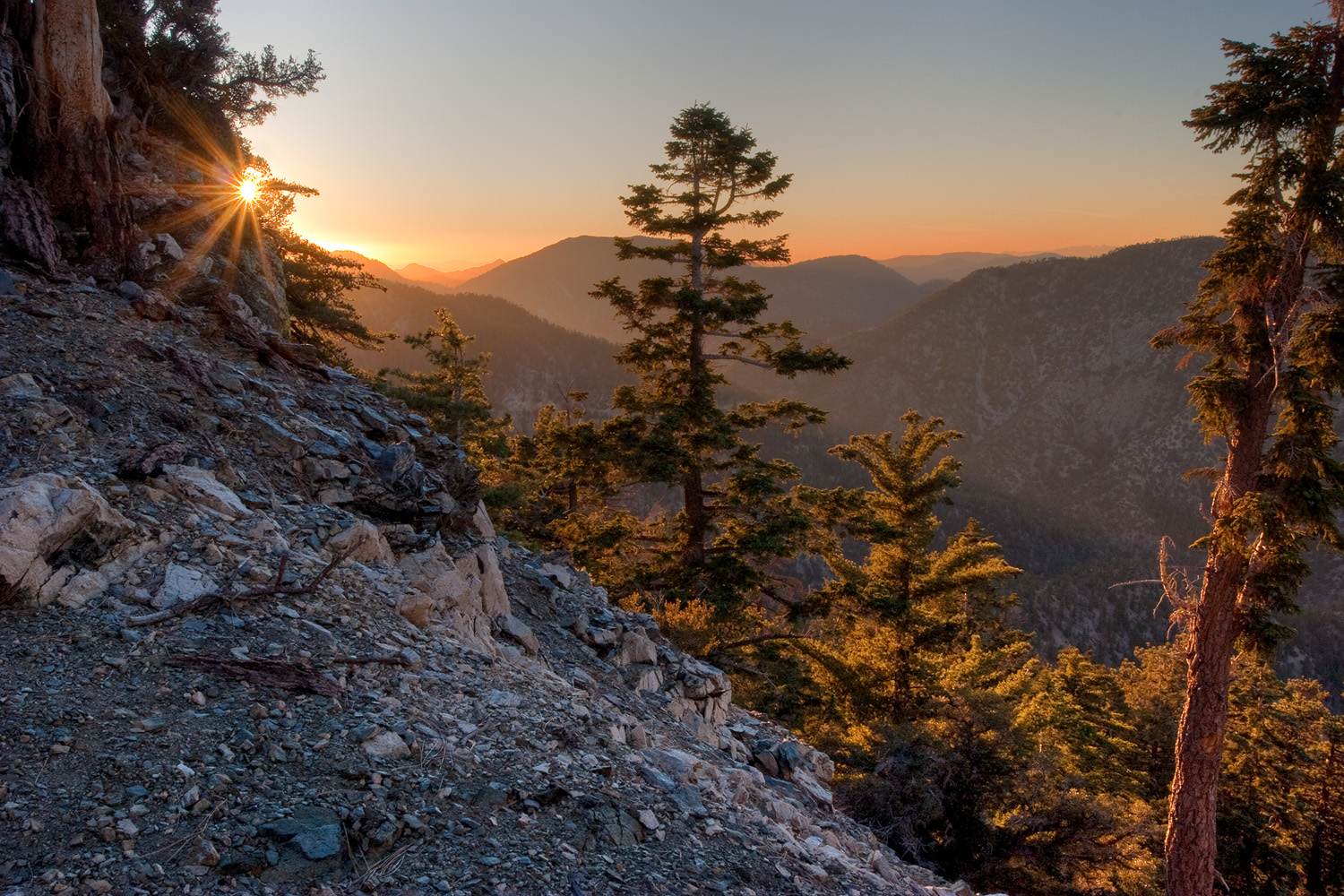
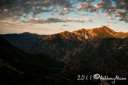
Alpenglow on Mt. San Antonio
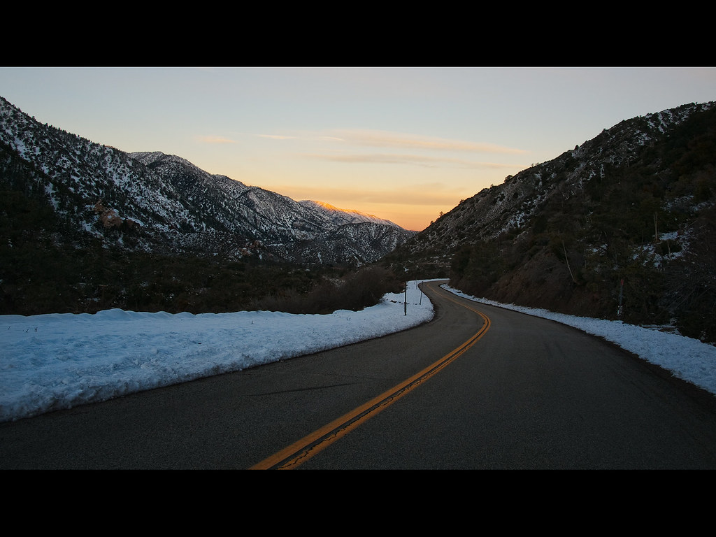
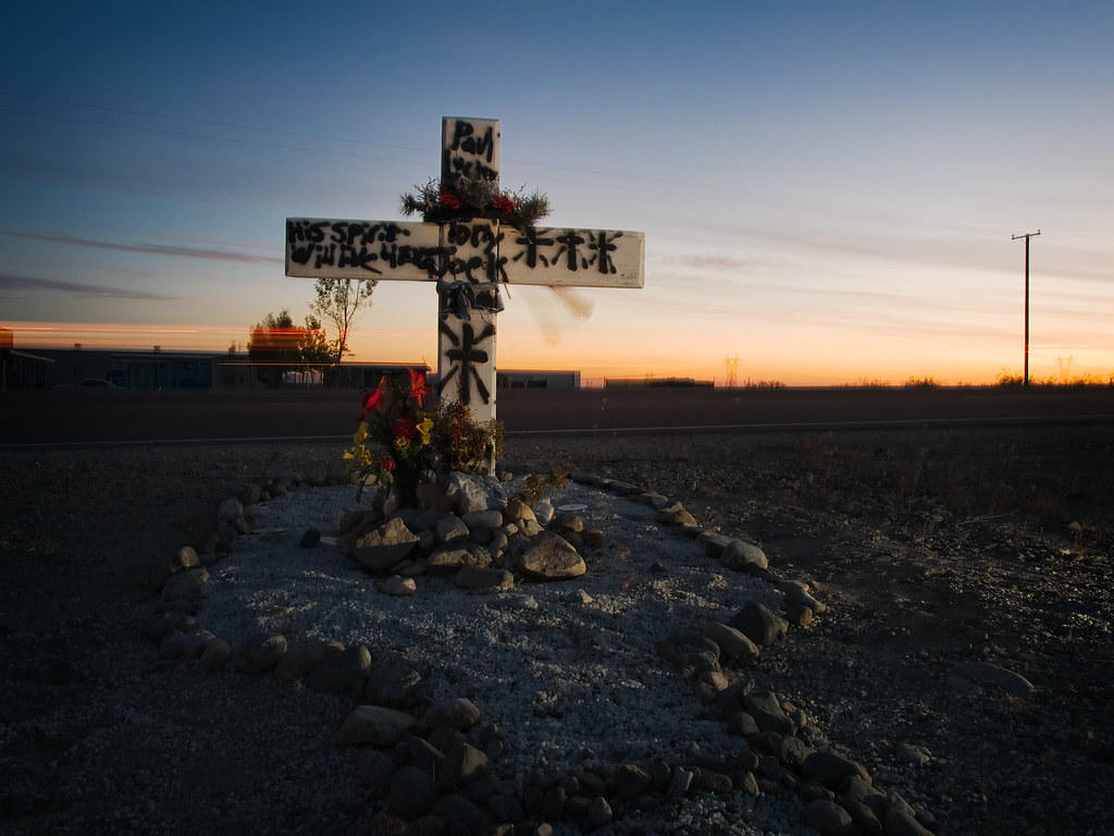
Pearblossom Highway Sunset

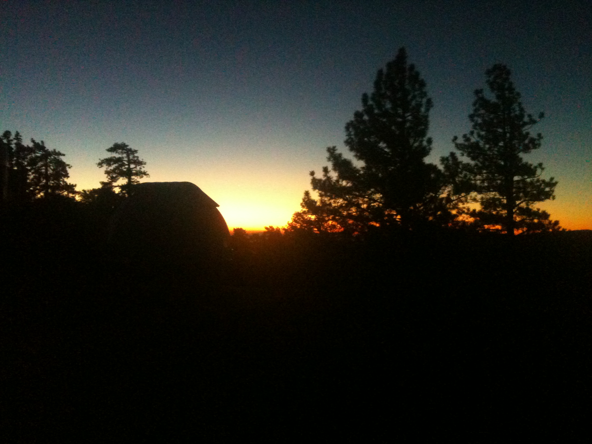
Darkness Sets
Autumn at Jackson Lake
Sunset over the San Gabriel and Pleasant View Ridge Wilderness Areas

Fading Storm on Williamson [Explored]
A Dream of Spring [Explored]

Lucid Winter Dream
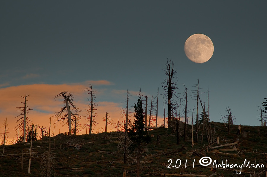
Moonrise over Mt. Williams
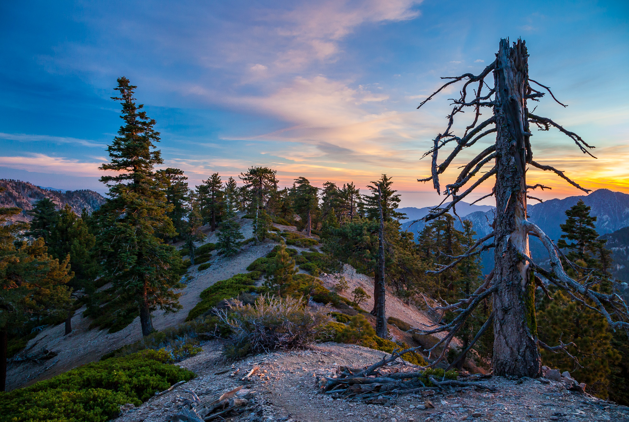
Life is harsh on the ridge.
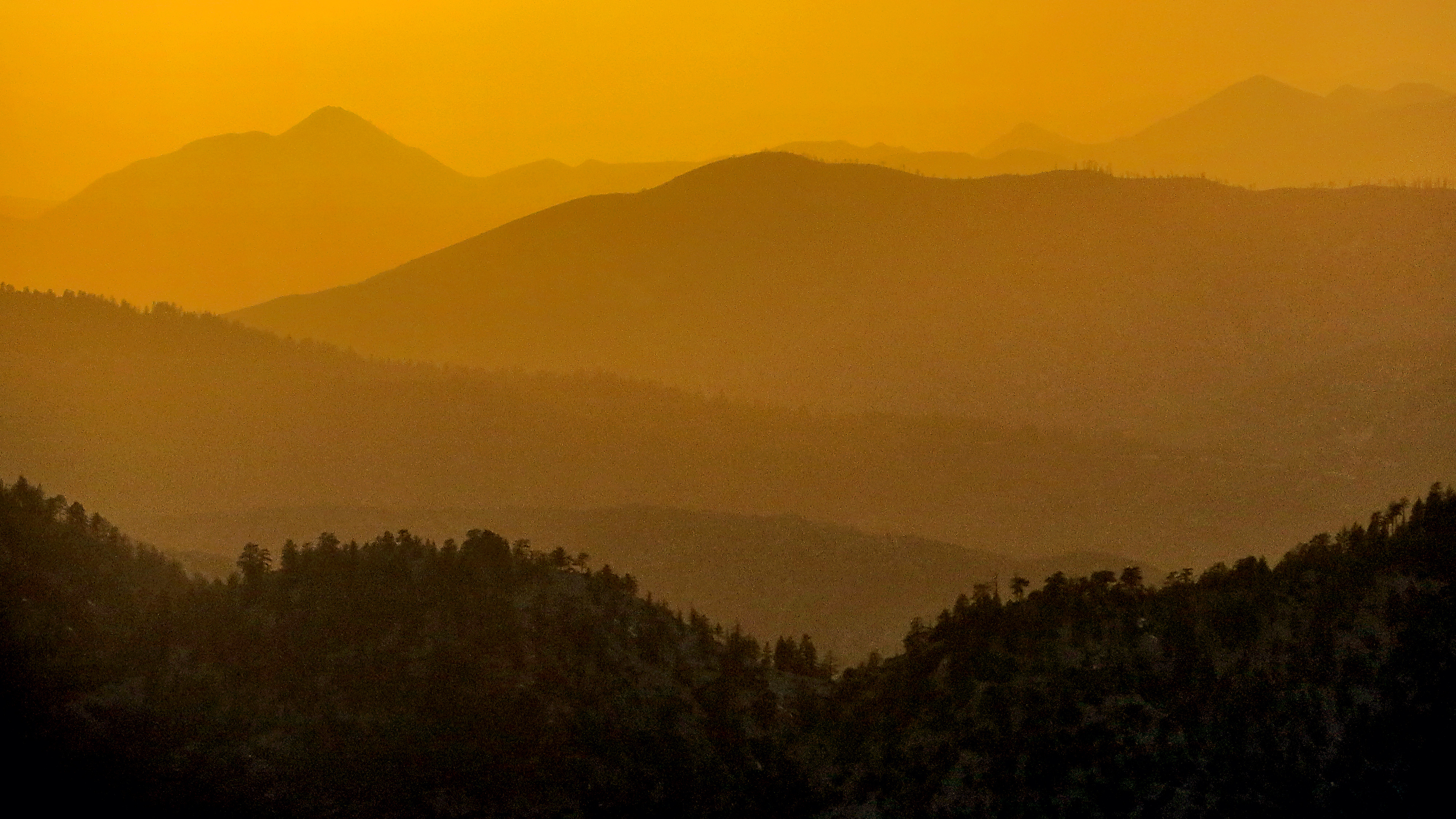
Tangerine Topography
Past the Mission
Started super early this morning, before the sun came out.
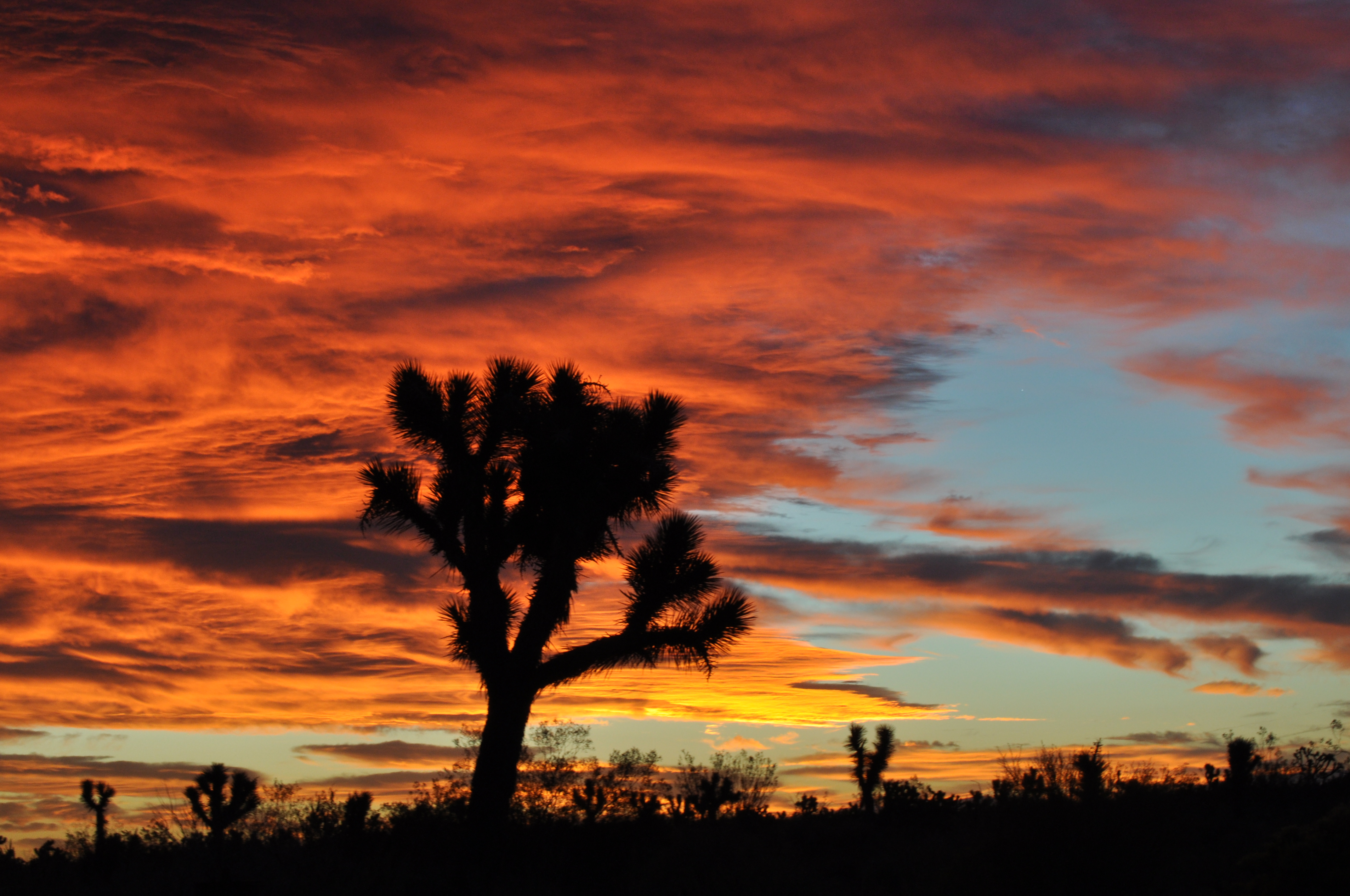
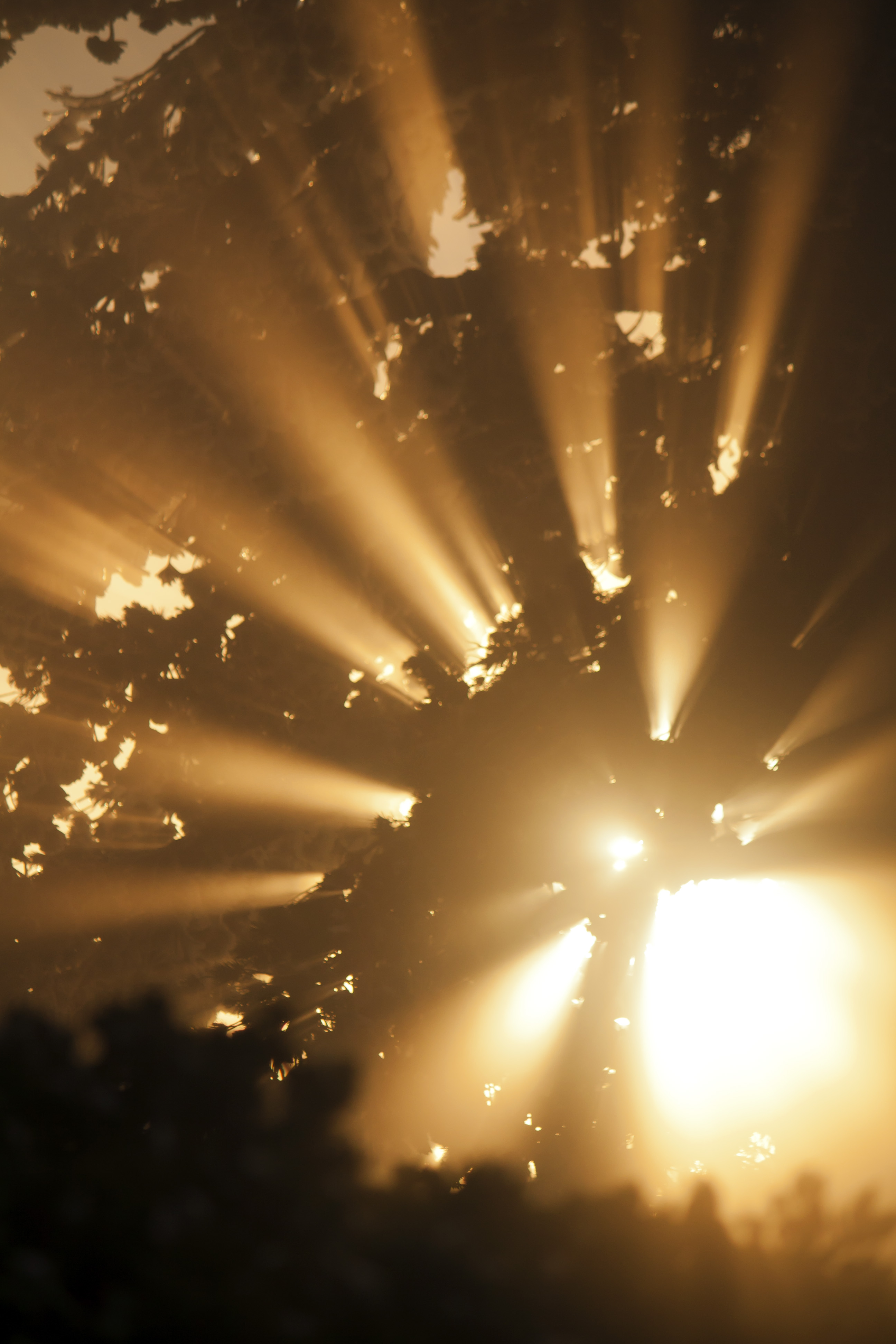
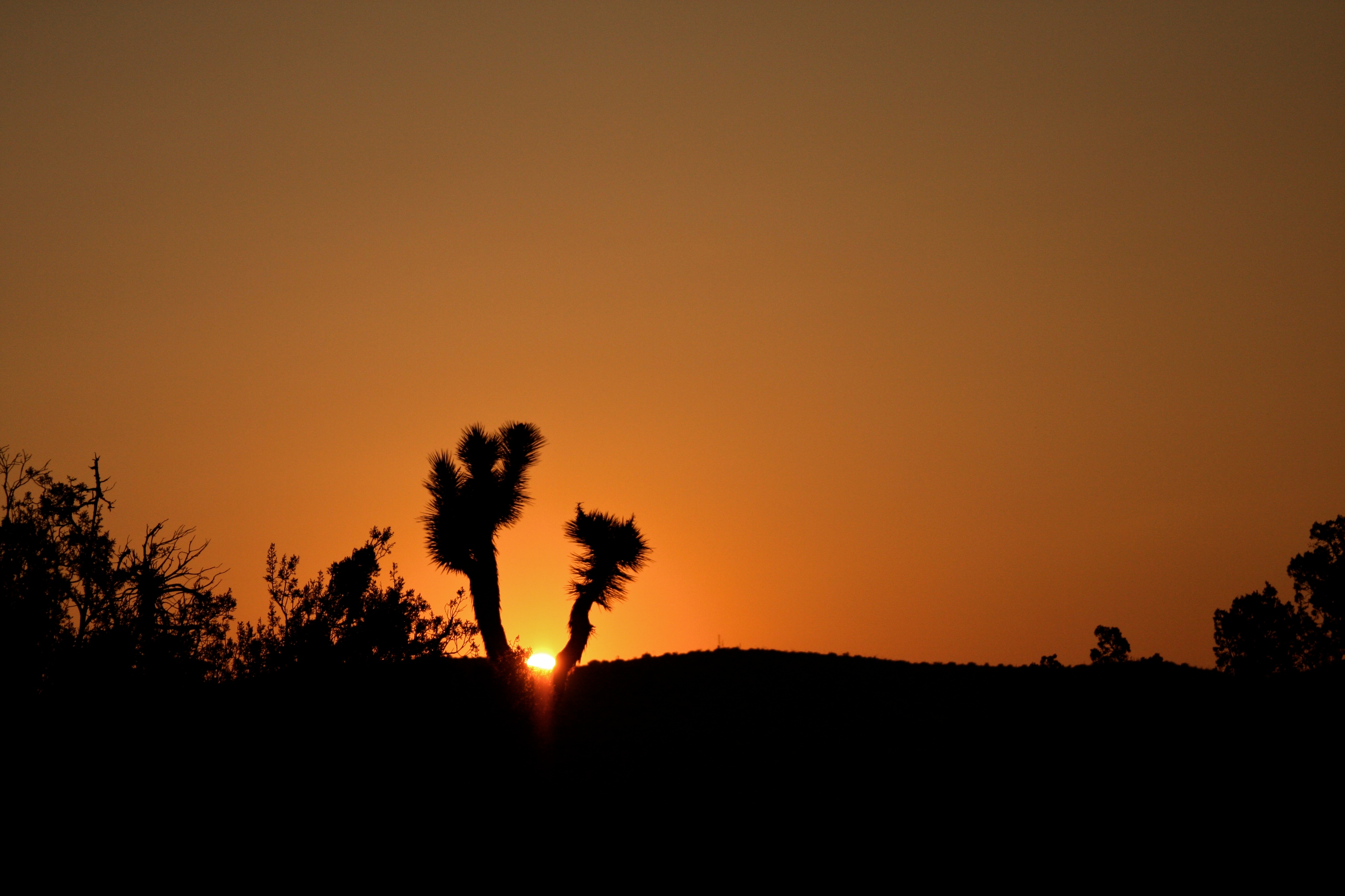
Joshua fire sky
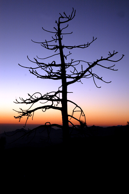
Dead tree silhouette on the Angeles Crest Highway; in the Angeles National Forest near Three Points
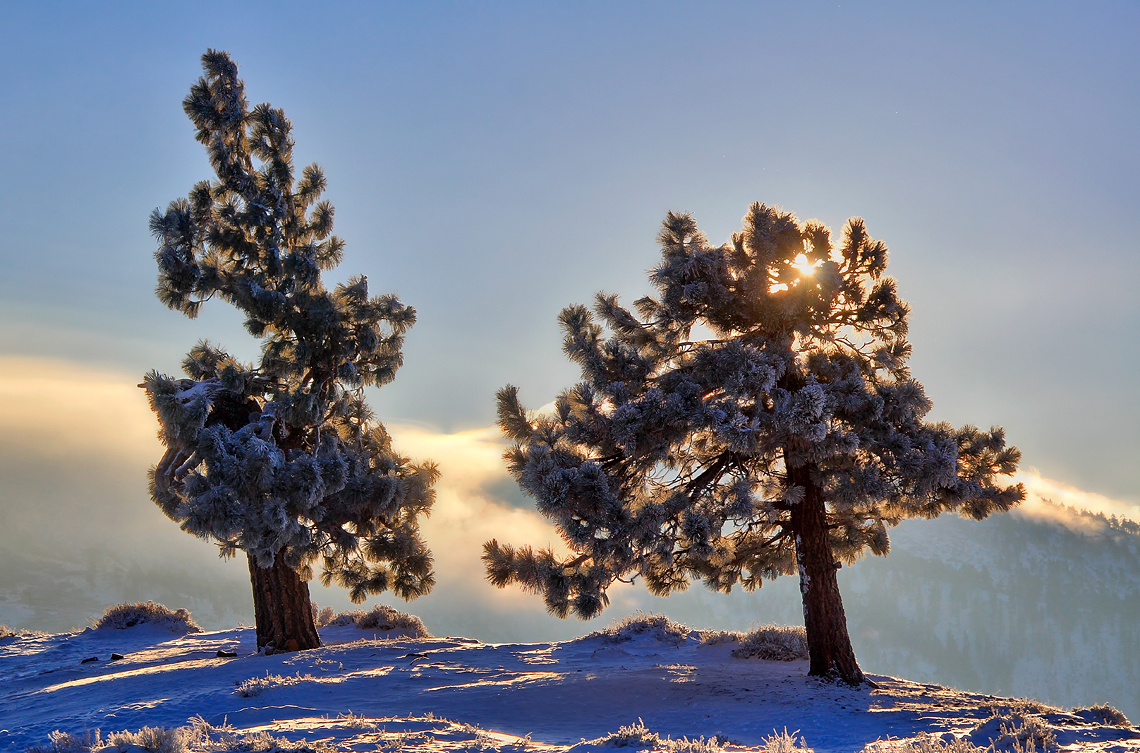
Crisp Air
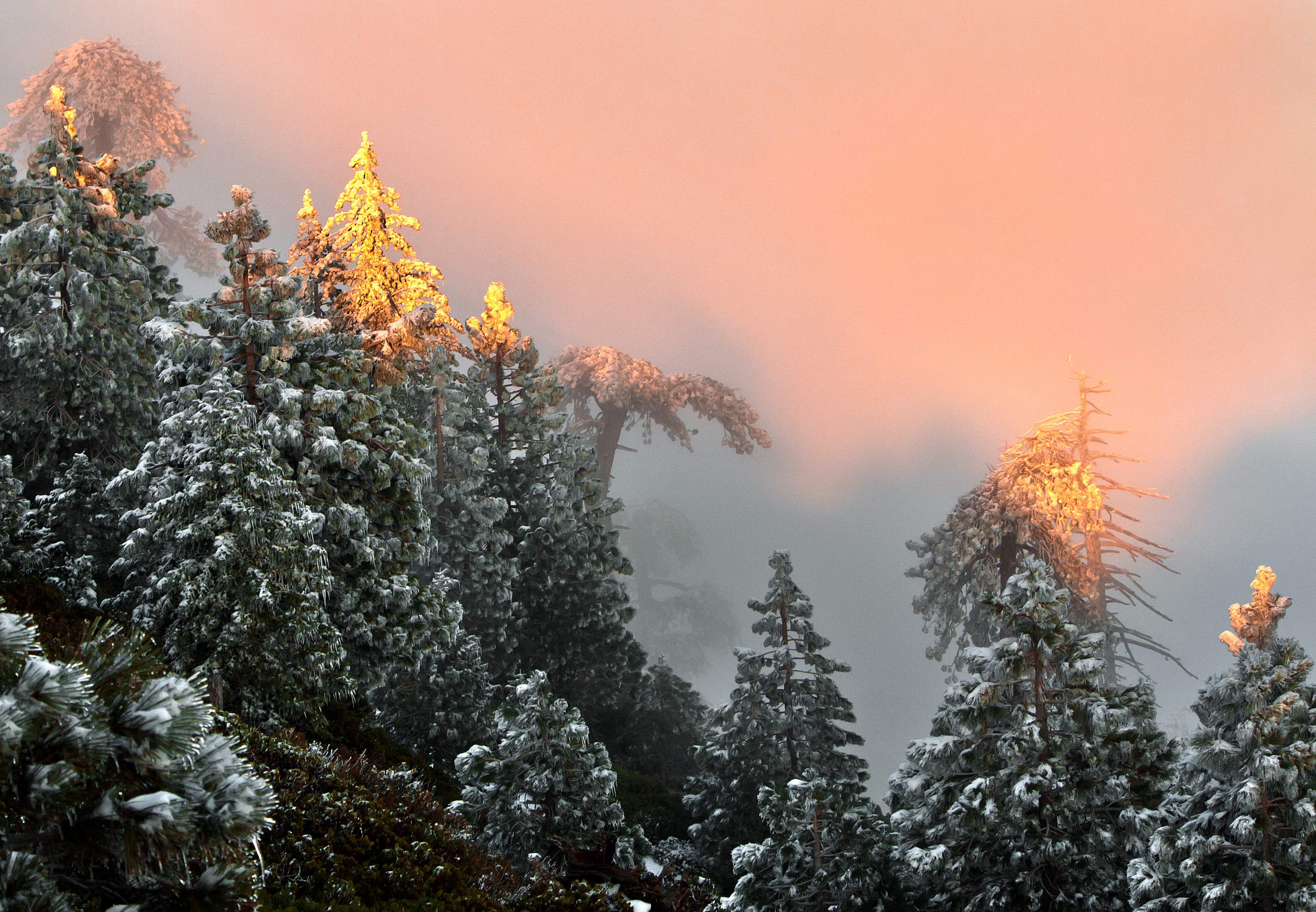
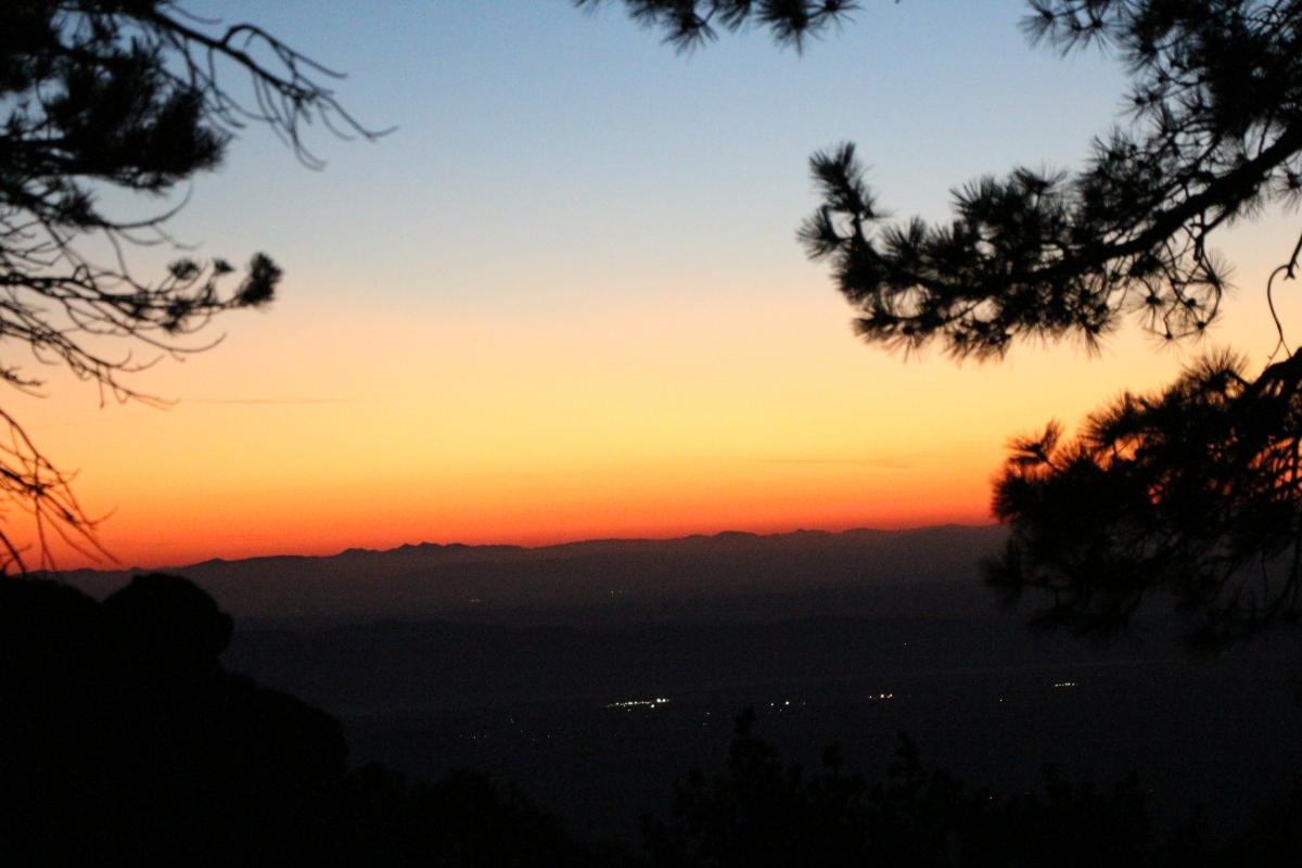
Kissed with Pink
Toward Big Bear

So Cold!
Canyon Light
Dome sunrise
Sunrise on Twin Peaks
Snowy Sunrise

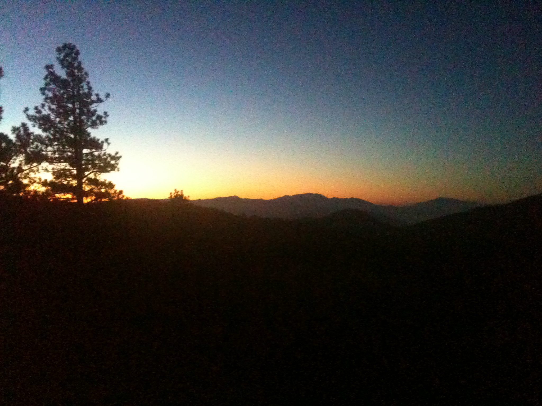
Valyermo Dawn
Live 4eva
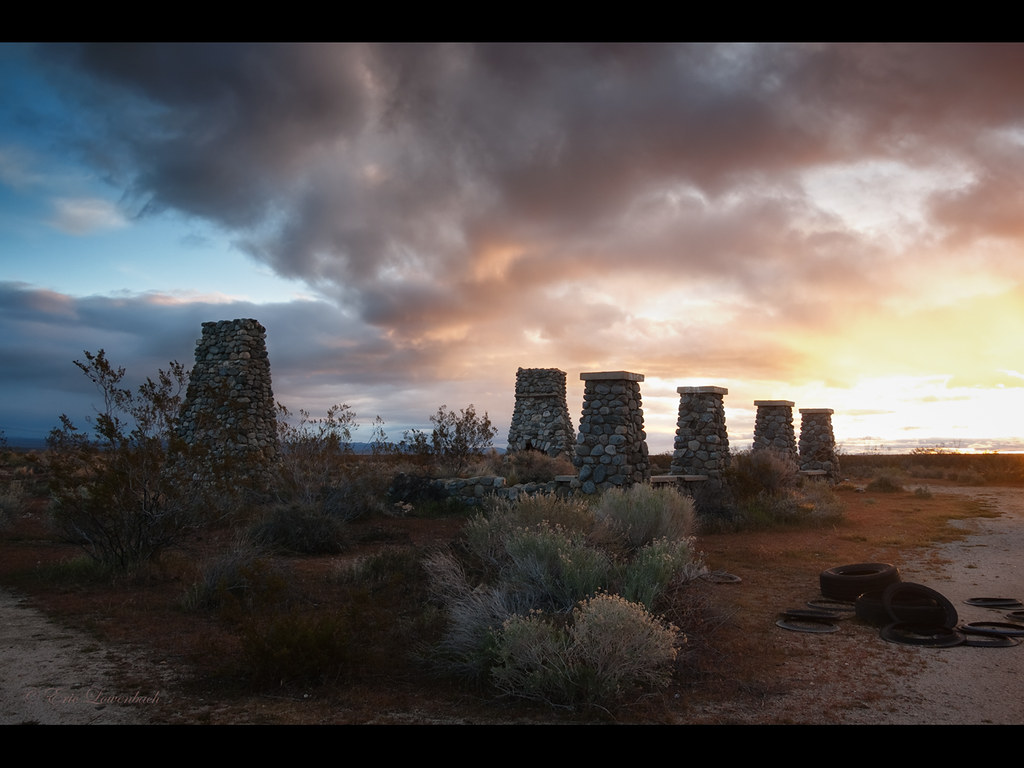
Desert View
Mt. Islip Sunrise
Joshua tree sunrise
313 Dawn's first light from our camp on the west ridge of Mount Islip
SGV Valley pano
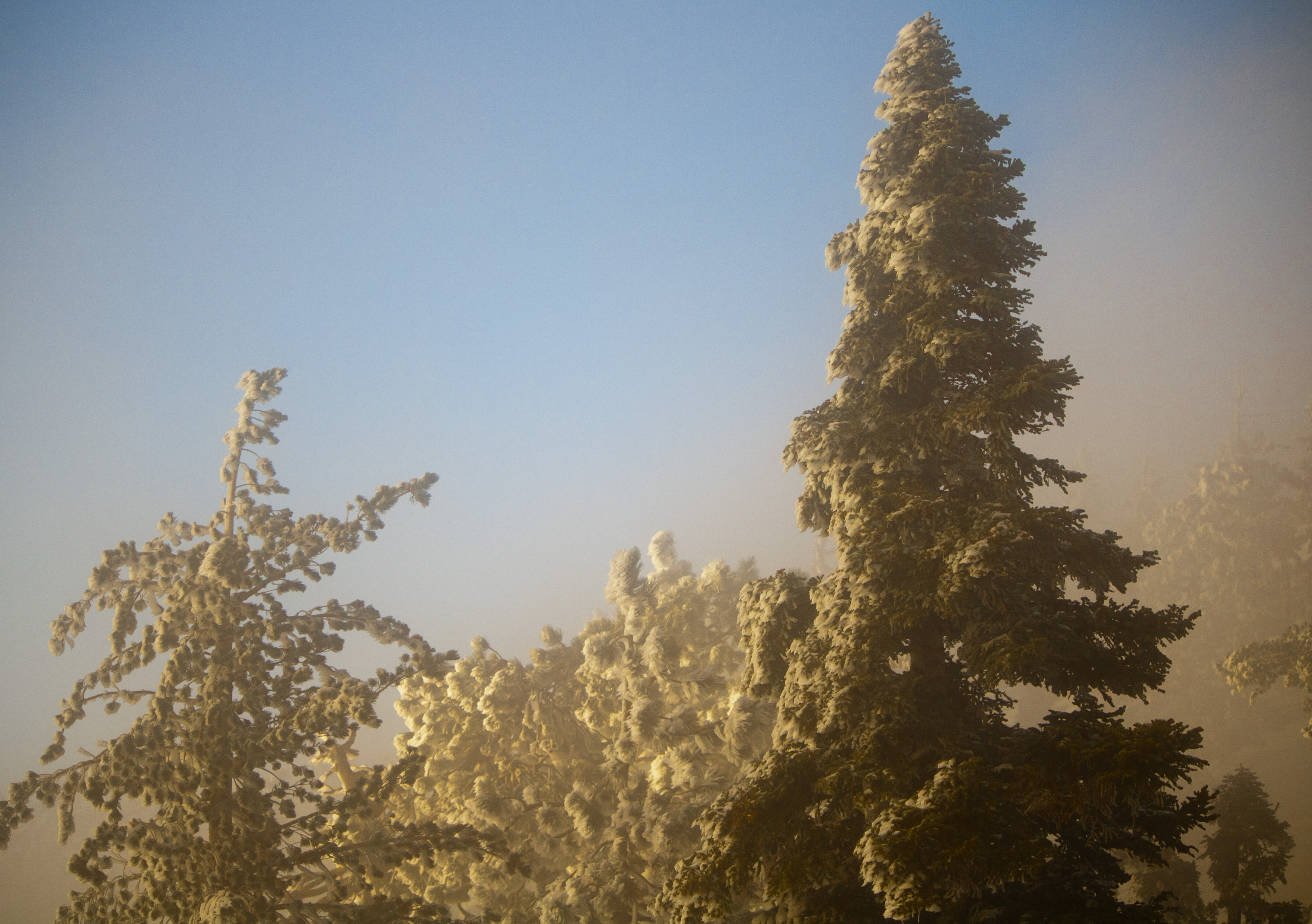
Foggy morning on Mt. Islip
Midwinter Cholla

Twin Peaks Sunrise
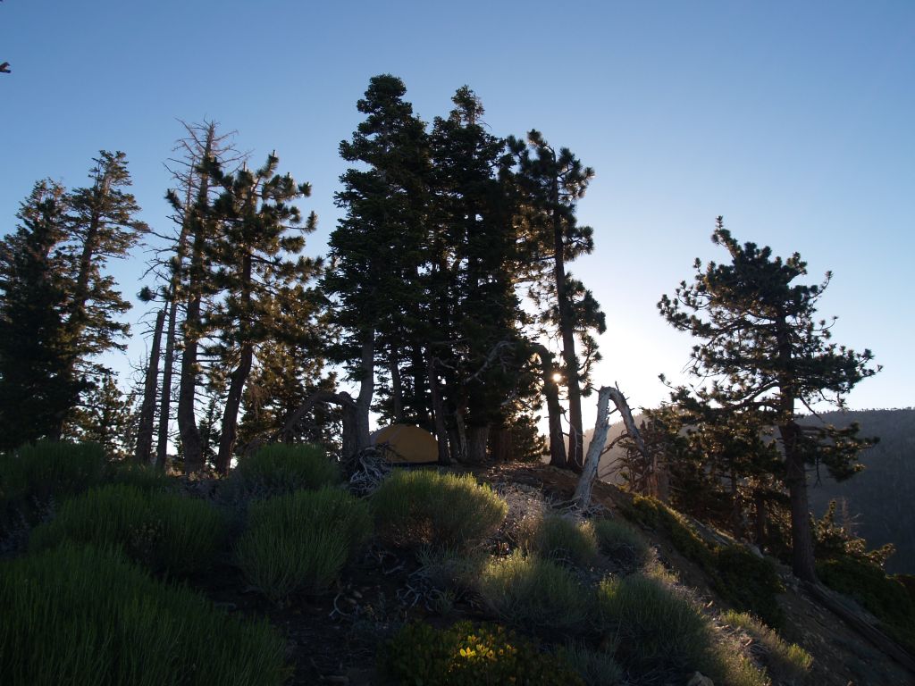
326 Dawn light shining on our tent and campsite on the west ridge of Mount Islip
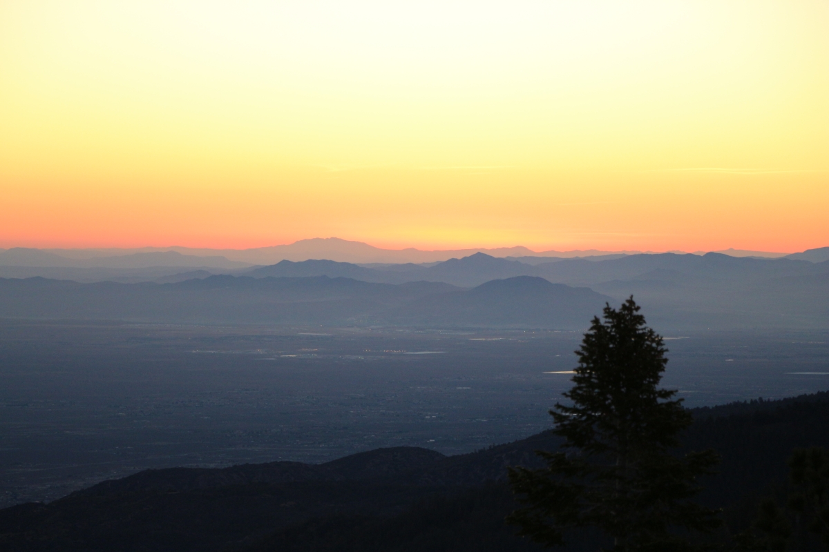
368 Sunrise over Victorville from our campsite on the ridge above the Dawson Saddle Trail

357 Sunrise over Victorville from our campsite on the ridge above the Dawson Saddle Trail
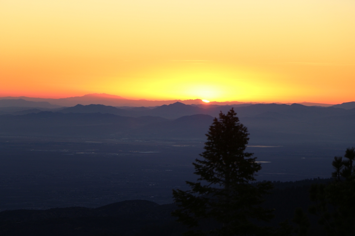
370 Sunrise over Victorville from our campsite on the ridge above the Dawson Saddle Trail
361 Sunrise over Victorville from our campsite on the ridge above the Dawson Saddle Trail
Big Rock Creek Rd, Pearblossom, CA アメリカ合衆国の地図
別の場所を検索
近所の場所
アメリカ合衆国 〒 カリフォルニア州 デヴィルズ・パンチボール
Devils Punchbowl Rd, Pearblossom, CA アメリカ合衆国デビルズ・パンチボール
Paradise Dr, Valyermo, CA アメリカ合衆国
アメリカ合衆国 〒 カリフォルニア州 バライヤーモ
Big Rock Creek Rd, California, アメリカ合衆国Big Rock Creek Road
アメリカ合衆国 〒 カリフォルニア州 ルイス山
Big Pines Hwy, Valyermo, CA アメリカ合衆国Angeles Crest Creamery
N Valyermo Rd, Valyermo, CA アメリカ合衆国
Boca Raton Ave, Llano, CA アメリカ合衆国ボカ・レイトン・アベニュー
Big Pines Hwy, Valyermo, CA アメリカ合衆国
Largo Vista Rd, Llano, CA アメリカ合衆国
E Ave X, Llano, CA アメリカ合衆国
Le Page Ranch Rd, Pearblossom, CA アメリカ合衆国
Nearwood Rd, Pearblossom, CA アメリカ合衆国
Fort Tejon Rd, Pearblossom, CA アメリカ合衆国
Juniper Hills Rd, Littlerock, CA アメリカ合衆国
Libra Dr, Llano, CA アメリカ合衆国
アメリカ合衆国 〒 カリフォルニア州 ベーデン=パウエル山
Juniper Hills Rd, Juniper Hills, CA アメリカ合衆国
アメリカ合衆国 〒 カリフォルニア州 ラノ
最近の検索
- 台湾 宜蘭県 大同郷Jialuohu日の出日の入り時間
- 日本、〒- 愛媛県今治市関前大下大下港日の出日の入り時間
- 日本、〒- 愛媛県今治市関前大下1930−1大下港フェリー乗り場日の出日の入り時間
- San Telmo, Buenos Aires, Argentina日の出日の入り時間
- Congressional Dr, Stevensville, MD アメリカ合衆国日の出日の入り時間
- ギリシャ 〒 04 パピンゴ日の出日の入り時間
- Kranto 7-oji g. 8"N, Kaunas, リトアニアPagonija rock日の出日の入り時間
- Co Rd 87, Jamestown, CO, USA日の出日の入り時間
- コロンビア クンディナマルカ テンホ日の出日の入り時間
- 日本、〒- 千葉県市原市五所1966−1日の出日の入り時間