Horas de salida y puesta de sol de Rimrock Lake, Washington, EE. UU.
Location: Estados Unidos > Washington > Condado de Yakima > Goose Prairie >
Zona horaria:
America/Los_Angeles
Hora local:
2024-05-18 21:06:47
Longitud:
-121.1663016
Latitud:
46.6413466
Salida de sol de hoy:
05:24:36 AM
Puesta de sol de hoy:
08:37:49 PM
La duración del día hoy:
15h 13m 13s
Salida de sol de mañana:
05:23:35 AM
Puesta de sol de mañana:
08:38:58 PM
La duración del día mañana:
15h 15m 23s
Mostrar todas las fechas
| Fecha | Salida de sol | Puesta de sol | Duración del día |
|---|---|---|---|
| 01/01/2024 | 07:48:55 AM | 04:28:10 PM | 8h 39m 15s |
| 02/01/2024 | 07:48:52 AM | 04:29:08 PM | 8h 40m 16s |
| 03/01/2024 | 07:48:47 AM | 04:30:08 PM | 8h 41m 21s |
| 04/01/2024 | 07:48:38 AM | 04:31:11 PM | 8h 42m 33s |
| 05/01/2024 | 07:48:27 AM | 04:32:15 PM | 8h 43m 48s |
| 06/01/2024 | 07:48:13 AM | 04:33:21 PM | 8h 45m 8s |
| 07/01/2024 | 07:47:57 AM | 04:34:29 PM | 8h 46m 32s |
| 08/01/2024 | 07:47:38 AM | 04:35:39 PM | 8h 48m 1s |
| 09/01/2024 | 07:47:16 AM | 04:36:50 PM | 8h 49m 34s |
| 10/01/2024 | 07:46:51 AM | 04:38:03 PM | 8h 51m 12s |
| 11/01/2024 | 07:46:23 AM | 04:39:17 PM | 8h 52m 54s |
| 12/01/2024 | 07:45:53 AM | 04:40:33 PM | 8h 54m 40s |
| 13/01/2024 | 07:45:21 AM | 04:41:50 PM | 8h 56m 29s |
| 14/01/2024 | 07:44:46 AM | 04:43:08 PM | 8h 58m 22s |
| 15/01/2024 | 07:44:08 AM | 04:44:27 PM | 9h 0m 19s |
| 16/01/2024 | 07:43:28 AM | 04:45:48 PM | 9h 2m 20s |
| 17/01/2024 | 07:42:45 AM | 04:47:10 PM | 9h 4m 25s |
| 18/01/2024 | 07:42:00 AM | 04:48:33 PM | 9h 6m 33s |
| 19/01/2024 | 07:41:12 AM | 04:49:56 PM | 9h 8m 44s |
| 20/01/2024 | 07:40:22 AM | 04:51:21 PM | 9h 10m 59s |
| 21/01/2024 | 07:39:30 AM | 04:52:46 PM | 9h 13m 16s |
| 22/01/2024 | 07:38:35 AM | 04:54:12 PM | 9h 15m 37s |
| 23/01/2024 | 07:37:39 AM | 04:55:39 PM | 9h 18m 0s |
| 24/01/2024 | 07:36:40 AM | 04:57:07 PM | 9h 20m 27s |
| 25/01/2024 | 07:35:38 AM | 04:58:35 PM | 9h 22m 57s |
| 26/01/2024 | 07:34:35 AM | 05:00:03 PM | 9h 25m 28s |
| 27/01/2024 | 07:33:29 AM | 05:01:33 PM | 9h 28m 4s |
| 28/01/2024 | 07:32:22 AM | 05:03:02 PM | 9h 30m 40s |
| 29/01/2024 | 07:31:12 AM | 05:04:32 PM | 9h 33m 20s |
| 30/01/2024 | 07:30:01 AM | 05:06:02 PM | 9h 36m 1s |
| 31/01/2024 | 07:28:48 AM | 05:07:33 PM | 9h 38m 45s |
| 01/02/2024 | 07:27:32 AM | 05:09:03 PM | 9h 41m 31s |
| 02/02/2024 | 07:26:15 AM | 05:10:34 PM | 9h 44m 19s |
| 03/02/2024 | 07:24:56 AM | 05:12:06 PM | 9h 47m 10s |
| 04/02/2024 | 07:23:36 AM | 05:13:37 PM | 9h 50m 1s |
| 05/02/2024 | 07:22:13 AM | 05:15:08 PM | 9h 52m 55s |
| 06/02/2024 | 07:20:50 AM | 05:16:39 PM | 9h 55m 49s |
| 07/02/2024 | 07:19:24 AM | 05:18:11 PM | 9h 58m 47s |
| 08/02/2024 | 07:17:57 AM | 05:19:42 PM | 10h 1m 45s |
| 09/02/2024 | 07:16:28 AM | 05:21:13 PM | 10h 4m 45s |
| 10/02/2024 | 07:14:58 AM | 05:22:45 PM | 10h 7m 47s |
| 11/02/2024 | 07:13:26 AM | 05:24:16 PM | 10h 10m 50s |
| 12/02/2024 | 07:11:53 AM | 05:25:47 PM | 10h 13m 54s |
| 13/02/2024 | 07:10:19 AM | 05:27:18 PM | 10h 16m 59s |
| 14/02/2024 | 07:08:43 AM | 05:28:48 PM | 10h 20m 5s |
| 15/02/2024 | 07:07:07 AM | 05:30:19 PM | 10h 23m 12s |
| 16/02/2024 | 07:05:28 AM | 05:31:49 PM | 10h 26m 21s |
| 17/02/2024 | 07:03:49 AM | 05:33:20 PM | 10h 29m 31s |
| 18/02/2024 | 07:02:09 AM | 05:34:50 PM | 10h 32m 41s |
| 19/02/2024 | 07:00:27 AM | 05:36:19 PM | 10h 35m 52s |
| 20/02/2024 | 06:58:44 AM | 05:37:49 PM | 10h 39m 5s |
| 21/02/2024 | 06:57:01 AM | 05:39:18 PM | 10h 42m 17s |
| 22/02/2024 | 06:55:16 AM | 05:40:47 PM | 10h 45m 31s |
| 23/02/2024 | 06:53:30 AM | 05:42:16 PM | 10h 48m 46s |
| 24/02/2024 | 06:51:44 AM | 05:43:44 PM | 10h 52m 0s |
| 25/02/2024 | 06:49:56 AM | 05:45:12 PM | 10h 55m 16s |
| 26/02/2024 | 06:48:08 AM | 05:46:40 PM | 10h 58m 32s |
| 27/02/2024 | 06:46:19 AM | 05:48:07 PM | 11h 1m 48s |
| 28/02/2024 | 06:44:29 AM | 05:49:35 PM | 11h 5m 6s |
| 29/02/2024 | 06:42:39 AM | 05:51:02 PM | 11h 8m 23s |
| 01/03/2024 | 06:40:47 AM | 05:52:29 PM | 11h 11m 42s |
| 02/03/2024 | 06:38:55 AM | 05:53:55 PM | 11h 15m 0s |
| 03/03/2024 | 06:37:03 AM | 05:55:21 PM | 11h 18m 18s |
| 04/03/2024 | 06:35:10 AM | 05:56:47 PM | 11h 21m 37s |
| 05/03/2024 | 06:33:16 AM | 05:58:13 PM | 11h 24m 57s |
| 06/03/2024 | 06:31:21 AM | 05:59:38 PM | 11h 28m 17s |
| 07/03/2024 | 06:29:27 AM | 06:01:03 PM | 11h 31m 36s |
| 08/03/2024 | 06:27:31 AM | 06:02:28 PM | 11h 34m 57s |
| 09/03/2024 | 06:25:36 AM | 06:03:53 PM | 11h 38m 17s |
| 10/03/2024 | 07:23:45 AM | 07:05:14 PM | 11h 41m 29s |
| 11/03/2024 | 07:21:48 AM | 07:06:38 PM | 11h 44m 50s |
| 12/03/2024 | 07:19:51 AM | 07:08:02 PM | 11h 48m 11s |
| 13/03/2024 | 07:17:54 AM | 07:09:26 PM | 11h 51m 32s |
| 14/03/2024 | 07:15:57 AM | 07:10:49 PM | 11h 54m 52s |
| 15/03/2024 | 07:14:00 AM | 07:12:13 PM | 11h 58m 13s |
| 16/03/2024 | 07:12:02 AM | 07:13:36 PM | 12h 1m 34s |
| 17/03/2024 | 07:10:04 AM | 07:14:59 PM | 12h 4m 55s |
| 18/03/2024 | 07:08:06 AM | 07:16:22 PM | 12h 8m 16s |
| 19/03/2024 | 07:06:08 AM | 07:17:44 PM | 12h 11m 36s |
| 20/03/2024 | 07:04:09 AM | 07:19:07 PM | 12h 14m 58s |
| 21/03/2024 | 07:02:11 AM | 07:20:29 PM | 12h 18m 18s |
| 22/03/2024 | 07:00:13 AM | 07:21:52 PM | 12h 21m 39s |
| 23/03/2024 | 06:58:14 AM | 07:23:14 PM | 12h 25m 0s |
| 24/03/2024 | 06:56:16 AM | 07:24:36 PM | 12h 28m 20s |
| 25/03/2024 | 06:54:18 AM | 07:25:58 PM | 12h 31m 40s |
| 26/03/2024 | 06:52:20 AM | 07:27:20 PM | 12h 35m 0s |
| 27/03/2024 | 06:50:22 AM | 07:28:42 PM | 12h 38m 20s |
| 28/03/2024 | 06:48:24 AM | 07:30:03 PM | 12h 41m 39s |
| 29/03/2024 | 06:46:26 AM | 07:31:25 PM | 12h 44m 59s |
| 30/03/2024 | 06:44:29 AM | 07:32:47 PM | 12h 48m 18s |
| 31/03/2024 | 06:42:32 AM | 07:34:08 PM | 12h 51m 36s |
| 01/04/2024 | 06:40:35 AM | 07:35:30 PM | 12h 54m 55s |
| 02/04/2024 | 06:38:39 AM | 07:36:51 PM | 12h 58m 12s |
| 03/04/2024 | 06:36:42 AM | 07:38:13 PM | 13h 1m 31s |
| 04/04/2024 | 06:34:47 AM | 07:39:34 PM | 13h 4m 47s |
| 05/04/2024 | 06:32:51 AM | 07:40:56 PM | 13h 8m 5s |
| 06/04/2024 | 06:30:56 AM | 07:42:17 PM | 13h 11m 21s |
| 07/04/2024 | 06:29:02 AM | 07:43:38 PM | 13h 14m 36s |
| 08/04/2024 | 06:27:08 AM | 07:45:00 PM | 13h 17m 52s |
| 09/04/2024 | 06:25:15 AM | 07:46:21 PM | 13h 21m 6s |
| 10/04/2024 | 06:23:22 AM | 07:47:42 PM | 13h 24m 20s |
| 11/04/2024 | 06:21:30 AM | 07:49:04 PM | 13h 27m 34s |
| 12/04/2024 | 06:19:38 AM | 07:50:25 PM | 13h 30m 47s |
| 13/04/2024 | 06:17:48 AM | 07:51:47 PM | 13h 33m 59s |
| 14/04/2024 | 06:15:58 AM | 07:53:08 PM | 13h 37m 10s |
| 15/04/2024 | 06:14:08 AM | 07:54:29 PM | 13h 40m 21s |
| 16/04/2024 | 06:12:20 AM | 07:55:50 PM | 13h 43m 30s |
| 17/04/2024 | 06:10:32 AM | 07:57:12 PM | 13h 46m 40s |
| 18/04/2024 | 06:08:45 AM | 07:58:33 PM | 13h 49m 48s |
| 19/04/2024 | 06:06:59 AM | 07:59:54 PM | 13h 52m 55s |
| 20/04/2024 | 06:05:14 AM | 08:01:15 PM | 13h 56m 1s |
| 21/04/2024 | 06:03:30 AM | 08:02:36 PM | 13h 59m 6s |
| 22/04/2024 | 06:01:47 AM | 08:03:57 PM | 14h 2m 10s |
| 23/04/2024 | 06:00:05 AM | 08:05:18 PM | 14h 5m 13s |
| 24/04/2024 | 05:58:24 AM | 08:06:39 PM | 14h 8m 15s |
| 25/04/2024 | 05:56:44 AM | 08:08:00 PM | 14h 11m 16s |
| 26/04/2024 | 05:55:05 AM | 08:09:20 PM | 14h 14m 15s |
| 27/04/2024 | 05:53:27 AM | 08:10:41 PM | 14h 17m 14s |
| 28/04/2024 | 05:51:51 AM | 08:12:01 PM | 14h 20m 10s |
| 29/04/2024 | 05:50:16 AM | 08:13:21 PM | 14h 23m 5s |
| 30/04/2024 | 05:48:42 AM | 08:14:40 PM | 14h 25m 58s |
| 01/05/2024 | 05:47:10 AM | 08:16:00 PM | 14h 28m 50s |
| 02/05/2024 | 05:45:39 AM | 08:17:19 PM | 14h 31m 40s |
| 03/05/2024 | 05:44:09 AM | 08:18:38 PM | 14h 34m 29s |
| 04/05/2024 | 05:42:41 AM | 08:19:57 PM | 14h 37m 16s |
| 05/05/2024 | 05:41:14 AM | 08:21:15 PM | 14h 40m 1s |
| 06/05/2024 | 05:39:49 AM | 08:22:33 PM | 14h 42m 44s |
| 07/05/2024 | 05:38:25 AM | 08:23:50 PM | 14h 45m 25s |
| 08/05/2024 | 05:37:03 AM | 08:25:07 PM | 14h 48m 4s |
| 09/05/2024 | 05:35:43 AM | 08:26:24 PM | 14h 50m 41s |
| 10/05/2024 | 05:34:24 AM | 08:27:40 PM | 14h 53m 16s |
| 11/05/2024 | 05:33:07 AM | 08:28:55 PM | 14h 55m 48s |
| 12/05/2024 | 05:31:52 AM | 08:30:10 PM | 14h 58m 18s |
| 13/05/2024 | 05:30:38 AM | 08:31:24 PM | 15h 0m 46s |
| 14/05/2024 | 05:29:26 AM | 08:32:37 PM | 15h 3m 11s |
| 15/05/2024 | 05:28:17 AM | 08:33:50 PM | 15h 5m 33s |
| 16/05/2024 | 05:27:09 AM | 08:35:02 PM | 15h 7m 53s |
| 17/05/2024 | 05:26:03 AM | 08:36:13 PM | 15h 10m 10s |
| 18/05/2024 | 05:24:59 AM | 08:37:23 PM | 15h 12m 24s |
| 19/05/2024 | 05:23:57 AM | 08:38:32 PM | 15h 14m 35s |
| 20/05/2024 | 05:22:57 AM | 08:39:40 PM | 15h 16m 43s |
| 21/05/2024 | 05:22:00 AM | 08:40:47 PM | 15h 18m 47s |
| 22/05/2024 | 05:21:04 AM | 08:41:53 PM | 15h 20m 49s |
| 23/05/2024 | 05:20:10 AM | 08:42:58 PM | 15h 22m 48s |
| 24/05/2024 | 05:19:19 AM | 08:44:02 PM | 15h 24m 43s |
| 25/05/2024 | 05:18:30 AM | 08:45:05 PM | 15h 26m 35s |
| 26/05/2024 | 05:17:43 AM | 08:46:06 PM | 15h 28m 23s |
| 27/05/2024 | 05:16:59 AM | 08:47:05 PM | 15h 30m 6s |
| 28/05/2024 | 05:16:17 AM | 08:48:04 PM | 15h 31m 47s |
| 29/05/2024 | 05:15:37 AM | 08:49:01 PM | 15h 33m 24s |
| 30/05/2024 | 05:14:59 AM | 08:49:56 PM | 15h 34m 57s |
| 31/05/2024 | 05:14:24 AM | 08:50:50 PM | 15h 36m 26s |
| 01/06/2024 | 05:13:51 AM | 08:51:42 PM | 15h 37m 51s |
| 02/06/2024 | 05:13:21 AM | 08:52:33 PM | 15h 39m 12s |
| 03/06/2024 | 05:12:53 AM | 08:53:22 PM | 15h 40m 29s |
| 04/06/2024 | 05:12:27 AM | 08:54:09 PM | 15h 41m 42s |
| 05/06/2024 | 05:12:04 AM | 08:54:54 PM | 15h 42m 50s |
| 06/06/2024 | 05:11:43 AM | 08:55:37 PM | 15h 43m 54s |
| 07/06/2024 | 05:11:25 AM | 08:56:18 PM | 15h 44m 53s |
| 08/06/2024 | 05:11:10 AM | 08:56:58 PM | 15h 45m 48s |
| 09/06/2024 | 05:10:56 AM | 08:57:35 PM | 15h 46m 39s |
| 10/06/2024 | 05:10:46 AM | 08:58:10 PM | 15h 47m 24s |
| 11/06/2024 | 05:10:37 AM | 08:58:43 PM | 15h 48m 6s |
| 12/06/2024 | 05:10:32 AM | 08:59:14 PM | 15h 48m 42s |
| 13/06/2024 | 05:10:28 AM | 08:59:43 PM | 15h 49m 15s |
| 14/06/2024 | 05:10:28 AM | 09:00:10 PM | 15h 49m 42s |
| 15/06/2024 | 05:10:29 AM | 09:00:34 PM | 15h 50m 5s |
| 16/06/2024 | 05:10:33 AM | 09:00:56 PM | 15h 50m 23s |
| 17/06/2024 | 05:10:40 AM | 09:01:15 PM | 15h 50m 35s |
| 18/06/2024 | 05:10:49 AM | 09:01:33 PM | 15h 50m 44s |
| 19/06/2024 | 05:11:00 AM | 09:01:47 PM | 15h 50m 47s |
| 20/06/2024 | 05:11:14 AM | 09:02:00 PM | 15h 50m 46s |
| 21/06/2024 | 05:11:30 AM | 09:02:10 PM | 15h 50m 40s |
| 22/06/2024 | 05:11:48 AM | 09:02:17 PM | 15h 50m 29s |
| 23/06/2024 | 05:12:09 AM | 09:02:22 PM | 15h 50m 13s |
| 24/06/2024 | 05:12:32 AM | 09:02:25 PM | 15h 49m 53s |
| 25/06/2024 | 05:12:57 AM | 09:02:25 PM | 15h 49m 28s |
| 26/06/2024 | 05:13:24 AM | 09:02:22 PM | 15h 48m 58s |
| 27/06/2024 | 05:13:54 AM | 09:02:17 PM | 15h 48m 23s |
| 28/06/2024 | 05:14:25 AM | 09:02:10 PM | 15h 47m 45s |
| 29/06/2024 | 05:14:59 AM | 09:02:00 PM | 15h 47m 1s |
| 30/06/2024 | 05:15:34 AM | 09:01:47 PM | 15h 46m 13s |
| 01/07/2024 | 05:16:12 AM | 09:01:32 PM | 15h 45m 20s |
| 02/07/2024 | 05:16:52 AM | 09:01:14 PM | 15h 44m 22s |
| 03/07/2024 | 05:17:33 AM | 09:00:54 PM | 15h 43m 21s |
| 04/07/2024 | 05:18:16 AM | 09:00:31 PM | 15h 42m 15s |
| 05/07/2024 | 05:19:01 AM | 09:00:06 PM | 15h 41m 5s |
| 06/07/2024 | 05:19:48 AM | 08:59:39 PM | 15h 39m 51s |
| 07/07/2024 | 05:20:36 AM | 08:59:08 PM | 15h 38m 32s |
| 08/07/2024 | 05:21:26 AM | 08:58:36 PM | 15h 37m 10s |
| 09/07/2024 | 05:22:18 AM | 08:58:01 PM | 15h 35m 43s |
| 10/07/2024 | 05:23:11 AM | 08:57:24 PM | 15h 34m 13s |
| 11/07/2024 | 05:24:05 AM | 08:56:44 PM | 15h 32m 39s |
| 12/07/2024 | 05:25:01 AM | 08:56:02 PM | 15h 31m 1s |
| 13/07/2024 | 05:25:59 AM | 08:55:17 PM | 15h 29m 18s |
| 14/07/2024 | 05:26:57 AM | 08:54:30 PM | 15h 27m 33s |
| 15/07/2024 | 05:27:57 AM | 08:53:41 PM | 15h 25m 44s |
| 16/07/2024 | 05:28:58 AM | 08:52:50 PM | 15h 23m 52s |
| 17/07/2024 | 05:30:01 AM | 08:51:56 PM | 15h 21m 55s |
| 18/07/2024 | 05:31:04 AM | 08:51:01 PM | 15h 19m 57s |
| 19/07/2024 | 05:32:08 AM | 08:50:03 PM | 15h 17m 55s |
| 20/07/2024 | 05:33:13 AM | 08:49:03 PM | 15h 15m 50s |
| 21/07/2024 | 05:34:20 AM | 08:48:01 PM | 15h 13m 41s |
| 22/07/2024 | 05:35:27 AM | 08:46:57 PM | 15h 11m 30s |
| 23/07/2024 | 05:36:35 AM | 08:45:51 PM | 15h 9m 16s |
| 24/07/2024 | 05:37:44 AM | 08:44:43 PM | 15h 6m 59s |
| 25/07/2024 | 05:38:53 AM | 08:43:33 PM | 15h 4m 40s |
| 26/07/2024 | 05:40:03 AM | 08:42:21 PM | 15h 2m 18s |
| 27/07/2024 | 05:41:14 AM | 08:41:07 PM | 14h 59m 53s |
| 28/07/2024 | 05:42:26 AM | 08:39:51 PM | 14h 57m 25s |
| 29/07/2024 | 05:43:38 AM | 08:38:34 PM | 14h 54m 56s |
| 30/07/2024 | 05:44:50 AM | 08:37:15 PM | 14h 52m 25s |
| 31/07/2024 | 05:46:03 AM | 08:35:54 PM | 14h 49m 51s |
| 01/08/2024 | 05:47:17 AM | 08:34:31 PM | 14h 47m 14s |
| 02/08/2024 | 05:48:31 AM | 08:33:07 PM | 14h 44m 36s |
| 03/08/2024 | 05:49:45 AM | 08:31:42 PM | 14h 41m 57s |
| 04/08/2024 | 05:50:59 AM | 08:30:14 PM | 14h 39m 15s |
| 05/08/2024 | 05:52:14 AM | 08:28:45 PM | 14h 36m 31s |
| 06/08/2024 | 05:53:30 AM | 08:27:15 PM | 14h 33m 45s |
| 07/08/2024 | 05:54:45 AM | 08:25:43 PM | 14h 30m 58s |
| 08/08/2024 | 05:56:01 AM | 08:24:10 PM | 14h 28m 9s |
| 09/08/2024 | 05:57:17 AM | 08:22:36 PM | 14h 25m 19s |
| 10/08/2024 | 05:58:33 AM | 08:21:00 PM | 14h 22m 27s |
| 11/08/2024 | 05:59:49 AM | 08:19:23 PM | 14h 19m 34s |
| 12/08/2024 | 06:01:06 AM | 08:17:45 PM | 14h 16m 39s |
| 13/08/2024 | 06:02:22 AM | 08:16:05 PM | 14h 13m 43s |
| 14/08/2024 | 06:03:39 AM | 08:14:25 PM | 14h 10m 46s |
| 15/08/2024 | 06:04:56 AM | 08:12:43 PM | 14h 7m 47s |
| 16/08/2024 | 06:06:12 AM | 08:11:00 PM | 14h 4m 48s |
| 17/08/2024 | 06:07:29 AM | 08:09:16 PM | 14h 1m 47s |
| 18/08/2024 | 06:08:46 AM | 08:07:31 PM | 13h 58m 45s |
| 19/08/2024 | 06:10:03 AM | 08:05:45 PM | 13h 55m 42s |
| 20/08/2024 | 06:11:20 AM | 08:03:58 PM | 13h 52m 38s |
| 21/08/2024 | 06:12:37 AM | 08:02:11 PM | 13h 49m 34s |
| 22/08/2024 | 06:13:54 AM | 08:00:22 PM | 13h 46m 28s |
| 23/08/2024 | 06:15:11 AM | 07:58:32 PM | 13h 43m 21s |
| 24/08/2024 | 06:16:28 AM | 07:56:42 PM | 13h 40m 14s |
| 25/08/2024 | 06:17:45 AM | 07:54:51 PM | 13h 37m 6s |
| 26/08/2024 | 06:19:02 AM | 07:52:59 PM | 13h 33m 57s |
| 27/08/2024 | 06:20:19 AM | 07:51:06 PM | 13h 30m 47s |
| 28/08/2024 | 06:21:35 AM | 07:49:13 PM | 13h 27m 38s |
| 29/08/2024 | 06:22:52 AM | 07:47:19 PM | 13h 24m 27s |
| 30/08/2024 | 06:24:09 AM | 07:45:25 PM | 13h 21m 16s |
| 31/08/2024 | 06:25:26 AM | 07:43:30 PM | 13h 18m 4s |
| 01/09/2024 | 06:26:43 AM | 07:41:34 PM | 13h 14m 51s |
| 02/09/2024 | 06:27:59 AM | 07:39:38 PM | 13h 11m 39s |
| 03/09/2024 | 06:29:16 AM | 07:37:41 PM | 13h 8m 25s |
| 04/09/2024 | 06:30:33 AM | 07:35:44 PM | 13h 5m 11s |
| 05/09/2024 | 06:31:50 AM | 07:33:47 PM | 13h 1m 57s |
| 06/09/2024 | 06:33:06 AM | 07:31:49 PM | 12h 58m 43s |
| 07/09/2024 | 06:34:23 AM | 07:29:51 PM | 12h 55m 28s |
| 08/09/2024 | 06:35:40 AM | 07:27:52 PM | 12h 52m 12s |
| 09/09/2024 | 06:36:57 AM | 07:25:53 PM | 12h 48m 56s |
| 10/09/2024 | 06:38:13 AM | 07:23:54 PM | 12h 45m 41s |
| 11/09/2024 | 06:39:30 AM | 07:21:55 PM | 12h 42m 25s |
| 12/09/2024 | 06:40:47 AM | 07:19:55 PM | 12h 39m 8s |
| 13/09/2024 | 06:42:04 AM | 07:17:56 PM | 12h 35m 52s |
| 14/09/2024 | 06:43:21 AM | 07:15:56 PM | 12h 32m 35s |
| 15/09/2024 | 06:44:38 AM | 07:13:56 PM | 12h 29m 18s |
| 16/09/2024 | 06:45:55 AM | 07:11:56 PM | 12h 26m 1s |
| 17/09/2024 | 06:47:13 AM | 07:09:56 PM | 12h 22m 43s |
| 18/09/2024 | 06:48:30 AM | 07:07:55 PM | 12h 19m 25s |
| 19/09/2024 | 06:49:48 AM | 07:05:55 PM | 12h 16m 7s |
| 20/09/2024 | 06:51:05 AM | 07:03:55 PM | 12h 12m 50s |
| 21/09/2024 | 06:52:23 AM | 07:01:55 PM | 12h 9m 32s |
| 22/09/2024 | 06:53:41 AM | 06:59:55 PM | 12h 6m 14s |
| 23/09/2024 | 06:54:59 AM | 06:57:55 PM | 12h 2m 56s |
| 24/09/2024 | 06:56:17 AM | 06:55:56 PM | 11h 59m 39s |
| 25/09/2024 | 06:57:35 AM | 06:53:56 PM | 11h 56m 21s |
| 26/09/2024 | 06:58:54 AM | 06:51:57 PM | 11h 53m 3s |
| 27/09/2024 | 07:00:13 AM | 06:49:58 PM | 11h 49m 45s |
| 28/09/2024 | 07:01:32 AM | 06:47:59 PM | 11h 46m 27s |
| 29/09/2024 | 07:02:51 AM | 06:46:01 PM | 11h 43m 10s |
| 30/09/2024 | 07:04:11 AM | 06:44:03 PM | 11h 39m 52s |
| 01/10/2024 | 07:05:30 AM | 06:42:05 PM | 11h 36m 35s |
| 02/10/2024 | 07:06:50 AM | 06:40:08 PM | 11h 33m 18s |
| 03/10/2024 | 07:08:10 AM | 06:38:11 PM | 11h 30m 1s |
| 04/10/2024 | 07:09:31 AM | 06:36:15 PM | 11h 26m 44s |
| 05/10/2024 | 07:10:52 AM | 06:34:19 PM | 11h 23m 27s |
| 06/10/2024 | 07:12:13 AM | 06:32:23 PM | 11h 20m 10s |
| 07/10/2024 | 07:13:34 AM | 06:30:29 PM | 11h 16m 55s |
| 08/10/2024 | 07:14:55 AM | 06:28:35 PM | 11h 13m 40s |
| 09/10/2024 | 07:16:17 AM | 06:26:41 PM | 11h 10m 24s |
| 10/10/2024 | 07:17:39 AM | 06:24:48 PM | 11h 7m 9s |
| 11/10/2024 | 07:19:02 AM | 06:22:56 PM | 11h 3m 54s |
| 12/10/2024 | 07:20:25 AM | 06:21:05 PM | 11h 0m 40s |
| 13/10/2024 | 07:21:48 AM | 06:19:14 PM | 10h 57m 26s |
| 14/10/2024 | 07:23:11 AM | 06:17:24 PM | 10h 54m 13s |
| 15/10/2024 | 07:24:35 AM | 06:15:35 PM | 10h 51m 0s |
| 16/10/2024 | 07:25:59 AM | 06:13:47 PM | 10h 47m 48s |
| 17/10/2024 | 07:27:23 AM | 06:12:00 PM | 10h 44m 37s |
| 18/10/2024 | 07:28:48 AM | 06:10:14 PM | 10h 41m 26s |
| 19/10/2024 | 07:30:12 AM | 06:08:28 PM | 10h 38m 16s |
| 20/10/2024 | 07:31:38 AM | 06:06:44 PM | 10h 35m 6s |
| 21/10/2024 | 07:33:03 AM | 06:05:01 PM | 10h 31m 58s |
| 22/10/2024 | 07:34:29 AM | 06:03:19 PM | 10h 28m 50s |
| 23/10/2024 | 07:35:55 AM | 06:01:38 PM | 10h 25m 43s |
| 24/10/2024 | 07:37:21 AM | 05:59:59 PM | 10h 22m 38s |
| 25/10/2024 | 07:38:47 AM | 05:58:20 PM | 10h 19m 33s |
| 26/10/2024 | 07:40:14 AM | 05:56:43 PM | 10h 16m 29s |
| 27/10/2024 | 07:41:41 AM | 05:55:07 PM | 10h 13m 26s |
| 28/10/2024 | 07:43:08 AM | 05:53:32 PM | 10h 10m 24s |
| 29/10/2024 | 07:44:35 AM | 05:51:59 PM | 10h 7m 24s |
| 30/10/2024 | 07:46:02 AM | 05:50:28 PM | 10h 4m 26s |
| 31/10/2024 | 07:47:30 AM | 05:48:57 PM | 10h 1m 27s |
| 01/11/2024 | 07:48:57 AM | 05:47:29 PM | 9h 58m 32s |
| 02/11/2024 | 07:50:25 AM | 05:46:01 PM | 9h 55m 36s |
| 03/11/2024 | 06:51:56 AM | 04:44:32 PM | 9h 52m 36s |
| 04/11/2024 | 06:53:24 AM | 04:43:08 PM | 9h 49m 44s |
| 05/11/2024 | 06:54:51 AM | 04:41:46 PM | 9h 46m 55s |
| 06/11/2024 | 06:56:19 AM | 04:40:26 PM | 9h 44m 7s |
| 07/11/2024 | 06:57:47 AM | 04:39:07 PM | 9h 41m 20s |
| 08/11/2024 | 06:59:14 AM | 04:37:50 PM | 9h 38m 36s |
| 09/11/2024 | 07:00:41 AM | 04:36:35 PM | 9h 35m 54s |
| 10/11/2024 | 07:02:08 AM | 04:35:22 PM | 9h 33m 14s |
| 11/11/2024 | 07:03:35 AM | 04:34:11 PM | 9h 30m 36s |
| 12/11/2024 | 07:05:01 AM | 04:33:02 PM | 9h 28m 1s |
| 13/11/2024 | 07:06:27 AM | 04:31:55 PM | 9h 25m 28s |
| 14/11/2024 | 07:07:53 AM | 04:30:50 PM | 9h 22m 57s |
| 15/11/2024 | 07:09:18 AM | 04:29:48 PM | 9h 20m 30s |
| 16/11/2024 | 07:10:43 AM | 04:28:47 PM | 9h 18m 4s |
| 17/11/2024 | 07:12:07 AM | 04:27:48 PM | 9h 15m 41s |
| 18/11/2024 | 07:13:31 AM | 04:26:52 PM | 9h 13m 21s |
| 19/11/2024 | 07:14:53 AM | 04:25:58 PM | 9h 11m 5s |
| 20/11/2024 | 07:16:15 AM | 04:25:07 PM | 9h 8m 52s |
| 21/11/2024 | 07:17:37 AM | 04:24:18 PM | 9h 6m 41s |
| 22/11/2024 | 07:18:57 AM | 04:23:31 PM | 9h 4m 34s |
| 23/11/2024 | 07:20:17 AM | 04:22:47 PM | 9h 2m 30s |
| 24/11/2024 | 07:21:35 AM | 04:22:05 PM | 9h 0m 30s |
| 25/11/2024 | 07:22:53 AM | 04:21:26 PM | 8h 58m 33s |
| 26/11/2024 | 07:24:09 AM | 04:20:49 PM | 8h 56m 40s |
| 27/11/2024 | 07:25:25 AM | 04:20:15 PM | 8h 54m 50s |
| 28/11/2024 | 07:26:39 AM | 04:19:44 PM | 8h 53m 5s |
| 29/11/2024 | 07:27:51 AM | 04:19:15 PM | 8h 51m 24s |
| 30/11/2024 | 07:29:03 AM | 04:18:49 PM | 8h 49m 46s |
| 01/12/2024 | 07:30:12 AM | 04:18:25 PM | 8h 48m 13s |
| 02/12/2024 | 07:31:21 AM | 04:18:04 PM | 8h 46m 43s |
| 03/12/2024 | 07:32:28 AM | 04:17:47 PM | 8h 45m 19s |
| 04/12/2024 | 07:33:33 AM | 04:17:31 PM | 8h 43m 58s |
| 05/12/2024 | 07:34:36 AM | 04:17:19 PM | 8h 42m 43s |
| 06/12/2024 | 07:35:37 AM | 04:17:09 PM | 8h 41m 32s |
| 07/12/2024 | 07:36:37 AM | 04:17:03 PM | 8h 40m 26s |
| 08/12/2024 | 07:37:35 AM | 04:16:59 PM | 8h 39m 24s |
| 09/12/2024 | 07:38:31 AM | 04:16:57 PM | 8h 38m 26s |
| 10/12/2024 | 07:39:25 AM | 04:16:59 PM | 8h 37m 34s |
| 11/12/2024 | 07:40:16 AM | 04:17:03 PM | 8h 36m 47s |
| 12/12/2024 | 07:41:06 AM | 04:17:11 PM | 8h 36m 5s |
| 13/12/2024 | 07:41:53 AM | 04:17:21 PM | 8h 35m 28s |
| 14/12/2024 | 07:42:38 AM | 04:17:34 PM | 8h 34m 56s |
| 15/12/2024 | 07:43:21 AM | 04:17:49 PM | 8h 34m 28s |
| 16/12/2024 | 07:44:01 AM | 04:18:08 PM | 8h 34m 7s |
| 17/12/2024 | 07:44:39 AM | 04:18:29 PM | 8h 33m 50s |
| 18/12/2024 | 07:45:14 AM | 04:18:53 PM | 8h 33m 39s |
| 19/12/2024 | 07:45:47 AM | 04:19:20 PM | 8h 33m 33s |
| 20/12/2024 | 07:46:17 AM | 04:19:49 PM | 8h 33m 32s |
| 21/12/2024 | 07:46:45 AM | 04:20:21 PM | 8h 33m 36s |
| 22/12/2024 | 07:47:10 AM | 04:20:55 PM | 8h 33m 45s |
| 23/12/2024 | 07:47:33 AM | 04:21:32 PM | 8h 33m 59s |
| 24/12/2024 | 07:47:53 AM | 04:22:12 PM | 8h 34m 19s |
| 25/12/2024 | 07:48:10 AM | 04:22:54 PM | 8h 34m 44s |
| 26/12/2024 | 07:48:24 AM | 04:23:38 PM | 8h 35m 14s |
| 27/12/2024 | 07:48:36 AM | 04:24:25 PM | 8h 35m 49s |
| 28/12/2024 | 07:48:45 AM | 04:25:15 PM | 8h 36m 30s |
| 29/12/2024 | 07:48:51 AM | 04:26:06 PM | 8h 37m 15s |
| 30/12/2024 | 07:48:55 AM | 04:27:00 PM | 8h 38m 5s |
Fotos
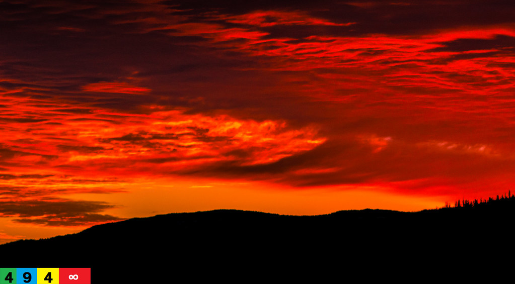
A Pacific Northwest Sweet Morning Crush: A Dramatic Sunrise (Part 11): A Sensual Reality (In Technicolor)

Yakima Complex Fire

Bonnie and Breezy watching the sunset

009_20100221_Orting-Rimrock-Rainier

007_20100221_Orting-Rimrock-Rainier
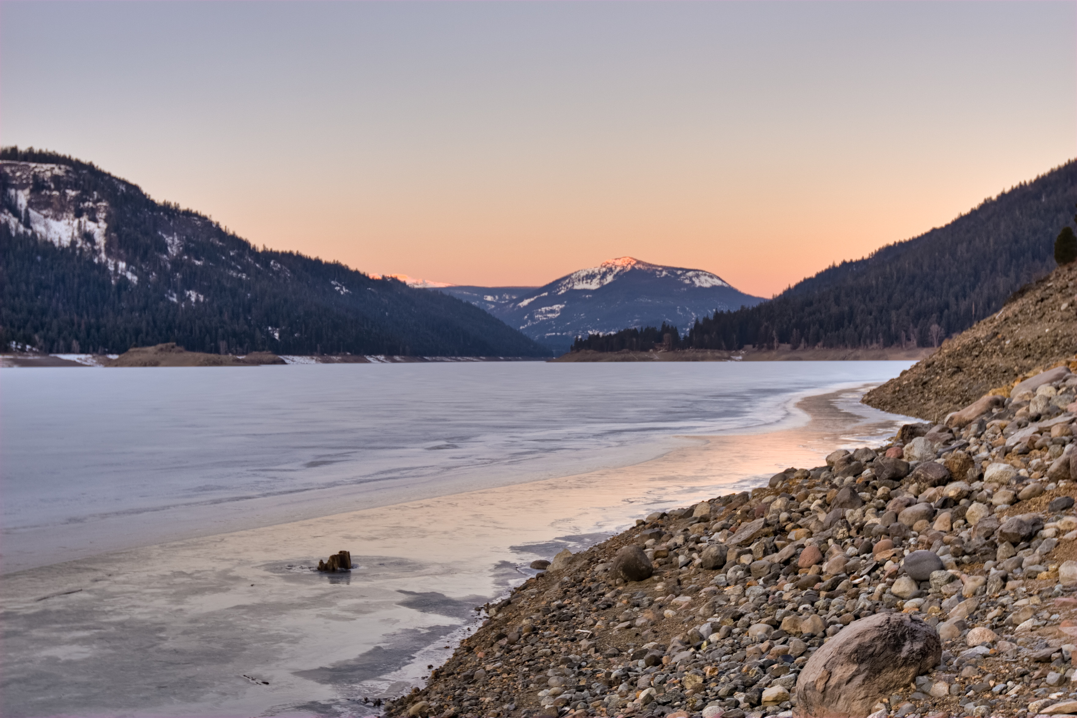
004_20100221_Orting-Rimrock-Rainier
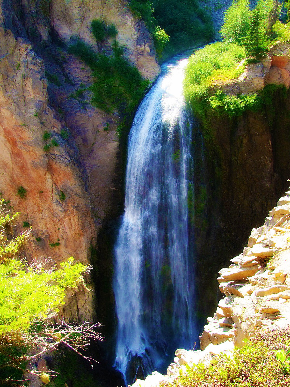
Lower Clear Creek Falls (Dream version)

Clear Creek Falls Valley 2 ~ Wenatchee National Forest ~ Washington

Clear Creek Falls Valley ~ Wenatchee National Forest ~ Washington

Clear Creek Falls Canyon ~ Wenatchee National Forest ~ Washington

Clear Creek Falls01 - Painting

Lower Clear Creek Falls

Clear Creek Falls View Point

View from Clear Creek Falls Overlook

Clear Creek Falls View Point

Cleer Creek Falls View Point

The Mountains Of Washington
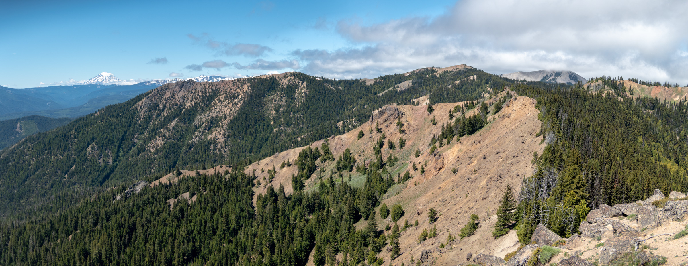
Burnt Mountain

Clear Creek Falls View Point

Shellrock Peak

Happy Waterfall Wednesday #7

View along Divide Ridge from the Jumpoff Lookout
Mapa de Rimrock Lake, Washington, EE. UU.
Buscar otro lugar
Lugares cercanos
Old Scab Mountain, Washington, EE. UU.
Goose Prairie, Washington, EE. UU.
Cottonwood Campground, Naches, WA, EE. UU.
Goat Rocks Wilderness, Randle, WA, EE. UU.
WA-, Naches, WA, EE. UU.
American River, WA, EE. UU.
Fifes Peaks West, Washington, EE. UU.
Walupt Lake, Washington, EE. UU.
Fifes Ridge East, Washington, EE. UU.
Fifes Ridge West, Washington, EE. UU.
Packwood Lake, Washington, EE. UU.
Crown Point, Washington, EE. UU.
Chambers Lake Campground, Randle, WA, EE. UU.
Pickhandle Point, Washington, EE. UU.
La Wis Wis Campground, Randle, WA, EE. UU.
Raven Roost, Washington, EE. UU.
Cougar Valley, WA, EE. UU.
Norse Peak, Washington, EE. UU.
Crystal Mountain Blvd, Enumclaw, WA, EE. UU.
Crystal Mountain Resort, Crystal Mountain Blvd, Enumclaw, WA, EE. UU.
Búsquedas recientes
- Horas de salida y puesta de sol de Eldorado do Sul - RS, Brazil
- Horas de salida y puesta de sol de Eldorado do Sul - Parque Eldorado, Eldorado do Sul - RS, -, Brasil
- Horas de salida y puesta de sol de Granada, Meta, Colombia
- Horas de salida y puesta de sol de Narhe, Pune, Maharashtra, India
- Horas de salida y puesta de sol de Sri Bintang Hill Trail, Jalan 11/36, Taman Sri Bintang, Kuala Lumpur, Wilayah Persekutuan Kuala Lump
- Horas de salida y puesta de sol de Portón Kaminarimon, 2-chōme-3-1 Asakusa, Taito City, Tokyo -, Japón
- Horas de salida y puesta de sol de Yoshiumicho Minamiura, Imabari, Ehime -, Japan
- Horas de salida y puesta de sol de Kippen, Stirling FK8, Reino Unido
- Horas de salida y puesta de sol de Fleur de Chine Hotel Sun Moon Lake, No. 23號, Zhongzheng Rd, Yuchi Township, Nantou County, Taiwán
- Horas de salida y puesta de sol de -16 Kitamuraakagawa, Iwamizawa, Hokkaido -, Japón