Horas de salida y puesta de sol de E Ave X, Llano, CA, EE. UU.
Location: Estados Unidos > California > Condado de Los Ángeles > Llano >
Zona horaria:
America/Los_Angeles
Hora local:
2024-04-27 04:32:32
Longitud:
-117.830404
Latitud:
34.483351
Salida de sol de hoy:
06:04:20 AM
Puesta de sol de hoy:
07:33:17 PM
La duración del día hoy:
13h 28m 57s
Salida de sol de mañana:
06:03:16 AM
Puesta de sol de mañana:
07:34:05 PM
La duración del día mañana:
13h 30m 49s
Mostrar todas las fechas
| Fecha | Salida de sol | Puesta de sol | Duración del día |
|---|---|---|---|
| 01/01/2024 | 06:58:01 AM | 04:52:21 PM | 9h 54m 20s |
| 02/01/2024 | 06:58:11 AM | 04:53:08 PM | 9h 54m 57s |
| 03/01/2024 | 06:58:18 AM | 04:53:55 PM | 9h 55m 37s |
| 04/01/2024 | 06:58:23 AM | 04:54:44 PM | 9h 56m 21s |
| 05/01/2024 | 06:58:27 AM | 04:55:34 PM | 9h 57m 7s |
| 06/01/2024 | 06:58:29 AM | 04:56:24 PM | 9h 57m 55s |
| 07/01/2024 | 06:58:29 AM | 04:57:16 PM | 9h 58m 47s |
| 08/01/2024 | 06:58:27 AM | 04:58:08 PM | 9h 59m 41s |
| 09/01/2024 | 06:58:23 AM | 04:59:01 PM | 10h 0m 38s |
| 10/01/2024 | 06:58:17 AM | 04:59:55 PM | 10h 1m 38s |
| 11/01/2024 | 06:58:09 AM | 05:00:50 PM | 10h 2m 41s |
| 12/01/2024 | 06:58:00 AM | 05:01:45 PM | 10h 3m 45s |
| 13/01/2024 | 06:57:48 AM | 05:02:41 PM | 10h 4m 53s |
| 14/01/2024 | 06:57:35 AM | 05:03:37 PM | 10h 6m 2s |
| 15/01/2024 | 06:57:20 AM | 05:04:34 PM | 10h 7m 14s |
| 16/01/2024 | 06:57:02 AM | 05:05:32 PM | 10h 8m 30s |
| 17/01/2024 | 06:56:44 AM | 05:06:30 PM | 10h 9m 46s |
| 18/01/2024 | 06:56:23 AM | 05:07:28 PM | 10h 11m 5s |
| 19/01/2024 | 06:56:00 AM | 05:08:27 PM | 10h 12m 27s |
| 20/01/2024 | 06:55:36 AM | 05:09:26 PM | 10h 13m 50s |
| 21/01/2024 | 06:55:10 AM | 05:10:25 PM | 10h 15m 15s |
| 22/01/2024 | 06:54:42 AM | 05:11:25 PM | 10h 16m 43s |
| 23/01/2024 | 06:54:12 AM | 05:12:24 PM | 10h 18m 12s |
| 24/01/2024 | 06:53:41 AM | 05:13:24 PM | 10h 19m 43s |
| 25/01/2024 | 06:53:08 AM | 05:14:24 PM | 10h 21m 16s |
| 26/01/2024 | 06:52:33 AM | 05:15:24 PM | 10h 22m 51s |
| 27/01/2024 | 06:51:56 AM | 05:16:24 PM | 10h 24m 28s |
| 28/01/2024 | 06:51:18 AM | 05:17:25 PM | 10h 26m 7s |
| 29/01/2024 | 06:50:38 AM | 05:18:25 PM | 10h 27m 47s |
| 30/01/2024 | 06:49:57 AM | 05:19:25 PM | 10h 29m 28s |
| 31/01/2024 | 06:49:14 AM | 05:20:25 PM | 10h 31m 11s |
| 01/02/2024 | 06:48:30 AM | 05:21:25 PM | 10h 32m 55s |
| 02/02/2024 | 06:47:44 AM | 05:22:25 PM | 10h 34m 41s |
| 03/02/2024 | 06:46:56 AM | 05:23:24 PM | 10h 36m 28s |
| 04/02/2024 | 06:46:07 AM | 05:24:24 PM | 10h 38m 17s |
| 05/02/2024 | 06:45:17 AM | 05:25:23 PM | 10h 40m 6s |
| 06/02/2024 | 06:44:25 AM | 05:26:22 PM | 10h 41m 57s |
| 07/02/2024 | 06:43:32 AM | 05:27:21 PM | 10h 43m 49s |
| 08/02/2024 | 06:42:38 AM | 05:28:20 PM | 10h 45m 42s |
| 09/02/2024 | 06:41:42 AM | 05:29:19 PM | 10h 47m 37s |
| 10/02/2024 | 06:40:45 AM | 05:30:17 PM | 10h 49m 32s |
| 11/02/2024 | 06:39:46 AM | 05:31:15 PM | 10h 51m 29s |
| 12/02/2024 | 06:38:47 AM | 05:32:12 PM | 10h 53m 25s |
| 13/02/2024 | 06:37:46 AM | 05:33:10 PM | 10h 55m 24s |
| 14/02/2024 | 06:36:44 AM | 05:34:07 PM | 10h 57m 23s |
| 15/02/2024 | 06:35:41 AM | 05:35:03 PM | 10h 59m 22s |
| 16/02/2024 | 06:34:37 AM | 05:36:00 PM | 11h 1m 23s |
| 17/02/2024 | 06:33:32 AM | 05:36:56 PM | 11h 3m 24s |
| 18/02/2024 | 06:32:26 AM | 05:37:51 PM | 11h 5m 25s |
| 19/02/2024 | 06:31:18 AM | 05:38:47 PM | 11h 7m 29s |
| 20/02/2024 | 06:30:10 AM | 05:39:42 PM | 11h 9m 32s |
| 21/02/2024 | 06:29:01 AM | 05:40:36 PM | 11h 11m 35s |
| 22/02/2024 | 06:27:51 AM | 05:41:31 PM | 11h 13m 40s |
| 23/02/2024 | 06:26:40 AM | 05:42:25 PM | 11h 15m 45s |
| 24/02/2024 | 06:25:28 AM | 05:43:18 PM | 11h 17m 50s |
| 25/02/2024 | 06:24:16 AM | 05:44:12 PM | 11h 19m 56s |
| 26/02/2024 | 06:23:02 AM | 05:45:05 PM | 11h 22m 3s |
| 27/02/2024 | 06:21:48 AM | 05:45:57 PM | 11h 24m 9s |
| 28/02/2024 | 06:20:33 AM | 05:46:50 PM | 11h 26m 17s |
| 29/02/2024 | 06:19:18 AM | 05:47:42 PM | 11h 28m 24s |
| 01/03/2024 | 06:18:02 AM | 05:48:33 PM | 11h 30m 31s |
| 02/03/2024 | 06:16:45 AM | 05:49:25 PM | 11h 32m 40s |
| 03/03/2024 | 06:15:27 AM | 05:50:16 PM | 11h 34m 49s |
| 04/03/2024 | 06:14:09 AM | 05:51:06 PM | 11h 36m 57s |
| 05/03/2024 | 06:12:51 AM | 05:51:57 PM | 11h 39m 6s |
| 06/03/2024 | 06:11:32 AM | 05:52:47 PM | 11h 41m 15s |
| 07/03/2024 | 06:10:12 AM | 05:53:37 PM | 11h 43m 25s |
| 08/03/2024 | 06:08:52 AM | 05:54:26 PM | 11h 45m 34s |
| 09/03/2024 | 06:07:32 AM | 05:55:16 PM | 11h 47m 44s |
| 10/03/2024 | 07:06:14 AM | 06:56:03 PM | 11h 49m 49s |
| 11/03/2024 | 07:04:53 AM | 06:56:52 PM | 11h 51m 59s |
| 12/03/2024 | 07:03:32 AM | 06:57:40 PM | 11h 54m 8s |
| 13/03/2024 | 07:02:10 AM | 06:58:29 PM | 11h 56m 19s |
| 14/03/2024 | 07:00:48 AM | 06:59:17 PM | 11h 58m 29s |
| 15/03/2024 | 06:59:26 AM | 07:00:05 PM | 12h 0m 39s |
| 16/03/2024 | 06:58:04 AM | 07:00:53 PM | 12h 2m 49s |
| 17/03/2024 | 06:56:41 AM | 07:01:41 PM | 12h 5m 0s |
| 18/03/2024 | 06:55:18 AM | 07:02:28 PM | 12h 7m 10s |
| 19/03/2024 | 06:53:55 AM | 07:03:16 PM | 12h 9m 21s |
| 20/03/2024 | 06:52:32 AM | 07:04:03 PM | 12h 11m 31s |
| 21/03/2024 | 06:51:09 AM | 07:04:50 PM | 12h 13m 41s |
| 22/03/2024 | 06:49:46 AM | 07:05:37 PM | 12h 15m 51s |
| 23/03/2024 | 06:48:23 AM | 07:06:24 PM | 12h 18m 1s |
| 24/03/2024 | 06:47:00 AM | 07:07:11 PM | 12h 20m 11s |
| 25/03/2024 | 06:45:37 AM | 07:07:58 PM | 12h 22m 21s |
| 26/03/2024 | 06:44:14 AM | 07:08:44 PM | 12h 24m 30s |
| 27/03/2024 | 06:42:52 AM | 07:09:31 PM | 12h 26m 39s |
| 28/03/2024 | 06:41:29 AM | 07:10:17 PM | 12h 28m 48s |
| 29/03/2024 | 06:40:06 AM | 07:11:04 PM | 12h 30m 58s |
| 30/03/2024 | 06:38:44 AM | 07:11:50 PM | 12h 33m 6s |
| 31/03/2024 | 06:37:22 AM | 07:12:37 PM | 12h 35m 15s |
| 01/04/2024 | 06:36:00 AM | 07:13:23 PM | 12h 37m 23s |
| 02/04/2024 | 06:34:39 AM | 07:14:10 PM | 12h 39m 31s |
| 03/04/2024 | 06:33:18 AM | 07:14:56 PM | 12h 41m 38s |
| 04/04/2024 | 06:31:57 AM | 07:15:43 PM | 12h 43m 46s |
| 05/04/2024 | 06:30:37 AM | 07:16:29 PM | 12h 45m 52s |
| 06/04/2024 | 06:29:16 AM | 07:17:16 PM | 12h 48m 0s |
| 07/04/2024 | 06:27:57 AM | 07:18:03 PM | 12h 50m 6s |
| 08/04/2024 | 06:26:38 AM | 07:18:49 PM | 12h 52m 11s |
| 09/04/2024 | 06:25:19 AM | 07:19:36 PM | 12h 54m 17s |
| 10/04/2024 | 06:24:01 AM | 07:20:23 PM | 12h 56m 22s |
| 11/04/2024 | 06:22:43 AM | 07:21:09 PM | 12h 58m 26s |
| 12/04/2024 | 06:21:26 AM | 07:21:56 PM | 13h 0m 30s |
| 13/04/2024 | 06:20:10 AM | 07:22:43 PM | 13h 2m 33s |
| 14/04/2024 | 06:18:54 AM | 07:23:30 PM | 13h 4m 36s |
| 15/04/2024 | 06:17:39 AM | 07:24:17 PM | 13h 6m 38s |
| 16/04/2024 | 06:16:25 AM | 07:25:04 PM | 13h 8m 39s |
| 17/04/2024 | 06:15:11 AM | 07:25:52 PM | 13h 10m 41s |
| 18/04/2024 | 06:13:58 AM | 07:26:39 PM | 13h 12m 41s |
| 19/04/2024 | 06:12:46 AM | 07:27:26 PM | 13h 14m 40s |
| 20/04/2024 | 06:11:35 AM | 07:28:14 PM | 13h 16m 39s |
| 21/04/2024 | 06:10:24 AM | 07:29:01 PM | 13h 18m 37s |
| 22/04/2024 | 06:09:14 AM | 07:29:49 PM | 13h 20m 35s |
| 23/04/2024 | 06:08:06 AM | 07:30:36 PM | 13h 22m 30s |
| 24/04/2024 | 06:06:58 AM | 07:31:24 PM | 13h 24m 26s |
| 25/04/2024 | 06:05:51 AM | 07:32:12 PM | 13h 26m 21s |
| 26/04/2024 | 06:04:45 AM | 07:32:59 PM | 13h 28m 14s |
| 27/04/2024 | 06:03:40 AM | 07:33:47 PM | 13h 30m 7s |
| 28/04/2024 | 06:02:36 AM | 07:34:35 PM | 13h 31m 59s |
| 29/04/2024 | 06:01:33 AM | 07:35:22 PM | 13h 33m 49s |
| 30/04/2024 | 06:00:31 AM | 07:36:10 PM | 13h 35m 39s |
| 01/05/2024 | 05:59:31 AM | 07:36:58 PM | 13h 37m 27s |
| 02/05/2024 | 05:58:31 AM | 07:37:46 PM | 13h 39m 15s |
| 03/05/2024 | 05:57:33 AM | 07:38:33 PM | 13h 41m 0s |
| 04/05/2024 | 05:56:36 AM | 07:39:21 PM | 13h 42m 45s |
| 05/05/2024 | 05:55:40 AM | 07:40:08 PM | 13h 44m 28s |
| 06/05/2024 | 05:54:45 AM | 07:40:56 PM | 13h 46m 11s |
| 07/05/2024 | 05:53:51 AM | 07:41:43 PM | 13h 47m 52s |
| 08/05/2024 | 05:52:59 AM | 07:42:30 PM | 13h 49m 31s |
| 09/05/2024 | 05:52:08 AM | 07:43:17 PM | 13h 51m 9s |
| 10/05/2024 | 05:51:19 AM | 07:44:04 PM | 13h 52m 45s |
| 11/05/2024 | 05:50:30 AM | 07:44:50 PM | 13h 54m 20s |
| 12/05/2024 | 05:49:43 AM | 07:45:37 PM | 13h 55m 54s |
| 13/05/2024 | 05:48:58 AM | 07:46:23 PM | 13h 57m 25s |
| 14/05/2024 | 05:48:14 AM | 07:47:09 PM | 13h 58m 55s |
| 15/05/2024 | 05:47:31 AM | 07:47:54 PM | 14h 0m 23s |
| 16/05/2024 | 05:46:50 AM | 07:48:39 PM | 14h 1m 49s |
| 17/05/2024 | 05:46:10 AM | 07:49:24 PM | 14h 3m 14s |
| 18/05/2024 | 05:45:32 AM | 07:50:08 PM | 14h 4m 36s |
| 19/05/2024 | 05:44:55 AM | 07:50:52 PM | 14h 5m 57s |
| 20/05/2024 | 05:44:20 AM | 07:51:36 PM | 14h 7m 16s |
| 21/05/2024 | 05:43:47 AM | 07:52:19 PM | 14h 8m 32s |
| 22/05/2024 | 05:43:14 AM | 07:53:02 PM | 14h 9m 48s |
| 23/05/2024 | 05:42:44 AM | 07:53:44 PM | 14h 11m 0s |
| 24/05/2024 | 05:42:15 AM | 07:54:25 PM | 14h 12m 10s |
| 25/05/2024 | 05:41:48 AM | 07:55:06 PM | 14h 13m 18s |
| 26/05/2024 | 05:41:22 AM | 07:55:46 PM | 14h 14m 24s |
| 27/05/2024 | 05:40:58 AM | 07:56:25 PM | 14h 15m 27s |
| 28/05/2024 | 05:40:35 AM | 07:57:04 PM | 14h 16m 29s |
| 29/05/2024 | 05:40:14 AM | 07:57:42 PM | 14h 17m 28s |
| 30/05/2024 | 05:39:55 AM | 07:58:19 PM | 14h 18m 24s |
| 31/05/2024 | 05:39:37 AM | 07:58:55 PM | 14h 19m 18s |
| 01/06/2024 | 05:39:21 AM | 07:59:31 PM | 14h 20m 10s |
| 02/06/2024 | 05:39:06 AM | 08:00:06 PM | 14h 21m 0s |
| 03/06/2024 | 05:38:54 AM | 08:00:39 PM | 14h 21m 45s |
| 04/06/2024 | 05:38:42 AM | 08:01:12 PM | 14h 22m 30s |
| 05/06/2024 | 05:38:33 AM | 08:01:43 PM | 14h 23m 10s |
| 06/06/2024 | 05:38:25 AM | 08:02:14 PM | 14h 23m 49s |
| 07/06/2024 | 05:38:18 AM | 08:02:44 PM | 14h 24m 26s |
| 08/06/2024 | 05:38:14 AM | 08:03:12 PM | 14h 24m 58s |
| 09/06/2024 | 05:38:10 AM | 08:03:39 PM | 14h 25m 29s |
| 10/06/2024 | 05:38:09 AM | 08:04:05 PM | 14h 25m 56s |
| 11/06/2024 | 05:38:09 AM | 08:04:30 PM | 14h 26m 21s |
| 12/06/2024 | 05:38:10 AM | 08:04:54 PM | 14h 26m 44s |
| 13/06/2024 | 05:38:14 AM | 08:05:16 PM | 14h 27m 2s |
| 14/06/2024 | 05:38:18 AM | 08:05:37 PM | 14h 27m 19s |
| 15/06/2024 | 05:38:24 AM | 08:05:57 PM | 14h 27m 33s |
| 16/06/2024 | 05:38:32 AM | 08:06:16 PM | 14h 27m 44s |
| 17/06/2024 | 05:38:41 AM | 08:06:33 PM | 14h 27m 52s |
| 18/06/2024 | 05:38:52 AM | 08:06:48 PM | 14h 27m 56s |
| 19/06/2024 | 05:39:04 AM | 08:07:02 PM | 14h 27m 58s |
| 20/06/2024 | 05:39:17 AM | 08:07:15 PM | 14h 27m 58s |
| 21/06/2024 | 05:39:32 AM | 08:07:26 PM | 14h 27m 54s |
| 22/06/2024 | 05:39:48 AM | 08:07:36 PM | 14h 27m 48s |
| 23/06/2024 | 05:40:06 AM | 08:07:44 PM | 14h 27m 38s |
| 24/06/2024 | 05:40:25 AM | 08:07:51 PM | 14h 27m 26s |
| 25/06/2024 | 05:40:45 AM | 08:07:56 PM | 14h 27m 11s |
| 26/06/2024 | 05:41:06 AM | 08:07:59 PM | 14h 26m 53s |
| 27/06/2024 | 05:41:29 AM | 08:08:01 PM | 14h 26m 32s |
| 28/06/2024 | 05:41:52 AM | 08:08:01 PM | 14h 26m 9s |
| 29/06/2024 | 05:42:17 AM | 08:08:00 PM | 14h 25m 43s |
| 30/06/2024 | 05:42:43 AM | 08:07:57 PM | 14h 25m 14s |
| 01/07/2024 | 05:43:10 AM | 08:07:52 PM | 14h 24m 42s |
| 02/07/2024 | 05:43:38 AM | 08:07:46 PM | 14h 24m 8s |
| 03/07/2024 | 05:44:08 AM | 08:07:38 PM | 14h 23m 30s |
| 04/07/2024 | 05:44:38 AM | 08:07:28 PM | 14h 22m 50s |
| 05/07/2024 | 05:45:09 AM | 08:07:17 PM | 14h 22m 8s |
| 06/07/2024 | 05:45:41 AM | 08:07:04 PM | 14h 21m 23s |
| 07/07/2024 | 05:46:14 AM | 08:06:50 PM | 14h 20m 36s |
| 08/07/2024 | 05:46:48 AM | 08:06:33 PM | 14h 19m 45s |
| 09/07/2024 | 05:47:22 AM | 08:06:15 PM | 14h 18m 53s |
| 10/07/2024 | 05:47:57 AM | 08:05:56 PM | 14h 17m 59s |
| 11/07/2024 | 05:48:33 AM | 08:05:34 PM | 14h 17m 1s |
| 12/07/2024 | 05:49:10 AM | 08:05:12 PM | 14h 16m 2s |
| 13/07/2024 | 05:49:48 AM | 08:04:47 PM | 14h 14m 59s |
| 14/07/2024 | 05:50:26 AM | 08:04:21 PM | 14h 13m 55s |
| 15/07/2024 | 05:51:04 AM | 08:03:53 PM | 14h 12m 49s |
| 16/07/2024 | 05:51:44 AM | 08:03:23 PM | 14h 11m 39s |
| 17/07/2024 | 05:52:23 AM | 08:02:52 PM | 14h 10m 29s |
| 18/07/2024 | 05:53:04 AM | 08:02:20 PM | 14h 9m 16s |
| 19/07/2024 | 05:53:44 AM | 08:01:45 PM | 14h 8m 1s |
| 20/07/2024 | 05:54:25 AM | 08:01:10 PM | 14h 6m 45s |
| 21/07/2024 | 05:55:07 AM | 08:00:32 PM | 14h 5m 25s |
| 22/07/2024 | 05:55:49 AM | 07:59:53 PM | 14h 4m 4s |
| 23/07/2024 | 05:56:31 AM | 07:59:13 PM | 14h 2m 42s |
| 24/07/2024 | 05:57:14 AM | 07:58:31 PM | 14h 1m 17s |
| 25/07/2024 | 05:57:57 AM | 07:57:48 PM | 13h 59m 51s |
| 26/07/2024 | 05:58:40 AM | 07:57:03 PM | 13h 58m 23s |
| 27/07/2024 | 05:59:23 AM | 07:56:17 PM | 13h 56m 54s |
| 28/07/2024 | 06:00:07 AM | 07:55:29 PM | 13h 55m 22s |
| 29/07/2024 | 06:00:50 AM | 07:54:40 PM | 13h 53m 50s |
| 30/07/2024 | 06:01:34 AM | 07:53:49 PM | 13h 52m 15s |
| 31/07/2024 | 06:02:18 AM | 07:52:57 PM | 13h 50m 39s |
| 01/08/2024 | 06:03:03 AM | 07:52:04 PM | 13h 49m 1s |
| 02/08/2024 | 06:03:47 AM | 07:51:10 PM | 13h 47m 23s |
| 03/08/2024 | 06:04:31 AM | 07:50:14 PM | 13h 45m 43s |
| 04/08/2024 | 06:05:16 AM | 07:49:17 PM | 13h 44m 1s |
| 05/08/2024 | 06:06:00 AM | 07:48:19 PM | 13h 42m 19s |
| 06/08/2024 | 06:06:44 AM | 07:47:19 PM | 13h 40m 35s |
| 07/08/2024 | 06:07:29 AM | 07:46:19 PM | 13h 38m 50s |
| 08/08/2024 | 06:08:13 AM | 07:45:17 PM | 13h 37m 4s |
| 09/08/2024 | 06:08:58 AM | 07:44:14 PM | 13h 35m 16s |
| 10/08/2024 | 06:09:42 AM | 07:43:10 PM | 13h 33m 28s |
| 11/08/2024 | 06:10:27 AM | 07:42:05 PM | 13h 31m 38s |
| 12/08/2024 | 06:11:11 AM | 07:40:59 PM | 13h 29m 48s |
| 13/08/2024 | 06:11:55 AM | 07:39:51 PM | 13h 27m 56s |
| 14/08/2024 | 06:12:39 AM | 07:38:43 PM | 13h 26m 4s |
| 15/08/2024 | 06:13:24 AM | 07:37:34 PM | 13h 24m 10s |
| 16/08/2024 | 06:14:08 AM | 07:36:24 PM | 13h 22m 16s |
| 17/08/2024 | 06:14:52 AM | 07:35:13 PM | 13h 20m 21s |
| 18/08/2024 | 06:15:35 AM | 07:34:01 PM | 13h 18m 26s |
| 19/08/2024 | 06:16:19 AM | 07:32:48 PM | 13h 16m 29s |
| 20/08/2024 | 06:17:03 AM | 07:31:35 PM | 13h 14m 32s |
| 21/08/2024 | 06:17:46 AM | 07:30:20 PM | 13h 12m 34s |
| 22/08/2024 | 06:18:30 AM | 07:29:05 PM | 13h 10m 35s |
| 23/08/2024 | 06:19:13 AM | 07:27:49 PM | 13h 8m 36s |
| 24/08/2024 | 06:19:57 AM | 07:26:32 PM | 13h 6m 35s |
| 25/08/2024 | 06:20:40 AM | 07:25:15 PM | 13h 4m 35s |
| 26/08/2024 | 06:21:23 AM | 07:23:57 PM | 13h 2m 34s |
| 27/08/2024 | 06:22:06 AM | 07:22:38 PM | 13h 0m 32s |
| 28/08/2024 | 06:22:49 AM | 07:21:19 PM | 12h 58m 30s |
| 29/08/2024 | 06:23:31 AM | 07:19:59 PM | 12h 56m 28s |
| 30/08/2024 | 06:24:14 AM | 07:18:39 PM | 12h 54m 25s |
| 31/08/2024 | 06:24:57 AM | 07:17:18 PM | 12h 52m 21s |
| 01/09/2024 | 06:25:39 AM | 07:15:57 PM | 12h 50m 18s |
| 02/09/2024 | 06:26:22 AM | 07:14:35 PM | 12h 48m 13s |
| 03/09/2024 | 06:27:04 AM | 07:13:13 PM | 12h 46m 9s |
| 04/09/2024 | 06:27:46 AM | 07:11:50 PM | 12h 44m 4s |
| 05/09/2024 | 06:28:29 AM | 07:10:27 PM | 12h 41m 58s |
| 06/09/2024 | 06:29:11 AM | 07:09:04 PM | 12h 39m 53s |
| 07/09/2024 | 06:29:53 AM | 07:07:40 PM | 12h 37m 47s |
| 08/09/2024 | 06:30:35 AM | 07:06:16 PM | 12h 35m 41s |
| 09/09/2024 | 06:31:18 AM | 07:04:51 PM | 12h 33m 33s |
| 10/09/2024 | 06:32:00 AM | 07:03:27 PM | 12h 31m 27s |
| 11/09/2024 | 06:32:42 AM | 07:02:02 PM | 12h 29m 20s |
| 12/09/2024 | 06:33:24 AM | 07:00:37 PM | 12h 27m 13s |
| 13/09/2024 | 06:34:07 AM | 06:59:12 PM | 12h 25m 5s |
| 14/09/2024 | 06:34:49 AM | 06:57:47 PM | 12h 22m 58s |
| 15/09/2024 | 06:35:31 AM | 06:56:22 PM | 12h 20m 51s |
| 16/09/2024 | 06:36:14 AM | 06:54:56 PM | 12h 18m 42s |
| 17/09/2024 | 06:36:57 AM | 06:53:31 PM | 12h 16m 34s |
| 18/09/2024 | 06:37:39 AM | 06:52:05 PM | 12h 14m 26s |
| 19/09/2024 | 06:38:22 AM | 06:50:40 PM | 12h 12m 18s |
| 20/09/2024 | 06:39:05 AM | 06:49:15 PM | 12h 10m 10s |
| 21/09/2024 | 06:39:48 AM | 06:47:49 PM | 12h 8m 1s |
| 22/09/2024 | 06:40:31 AM | 06:46:24 PM | 12h 5m 53s |
| 23/09/2024 | 06:41:14 AM | 06:44:59 PM | 12h 3m 45s |
| 24/09/2024 | 06:41:58 AM | 06:43:34 PM | 12h 1m 36s |
| 25/09/2024 | 06:42:41 AM | 06:42:10 PM | 11h 59m 29s |
| 26/09/2024 | 06:43:25 AM | 06:40:45 PM | 11h 57m 20s |
| 27/09/2024 | 06:44:09 AM | 06:39:21 PM | 11h 55m 12s |
| 28/09/2024 | 06:44:53 AM | 06:37:57 PM | 11h 53m 4s |
| 29/09/2024 | 06:45:38 AM | 06:36:33 PM | 11h 50m 55s |
| 30/09/2024 | 06:46:22 AM | 06:35:10 PM | 11h 48m 48s |
| 01/10/2024 | 06:47:07 AM | 06:33:47 PM | 11h 46m 40s |
| 02/10/2024 | 06:47:52 AM | 06:32:25 PM | 11h 44m 33s |
| 03/10/2024 | 06:48:38 AM | 06:31:03 PM | 11h 42m 25s |
| 04/10/2024 | 06:49:24 AM | 06:29:41 PM | 11h 40m 17s |
| 05/10/2024 | 06:50:10 AM | 06:28:20 PM | 11h 38m 10s |
| 06/10/2024 | 06:50:56 AM | 06:26:59 PM | 11h 36m 3s |
| 07/10/2024 | 06:51:43 AM | 06:25:39 PM | 11h 33m 56s |
| 08/10/2024 | 06:52:30 AM | 06:24:19 PM | 11h 31m 49s |
| 09/10/2024 | 06:53:17 AM | 06:23:01 PM | 11h 29m 44s |
| 10/10/2024 | 06:54:04 AM | 06:21:42 PM | 11h 27m 38s |
| 11/10/2024 | 06:54:52 AM | 06:20:25 PM | 11h 25m 33s |
| 12/10/2024 | 06:55:41 AM | 06:19:08 PM | 11h 23m 27s |
| 13/10/2024 | 06:56:29 AM | 06:17:51 PM | 11h 21m 22s |
| 14/10/2024 | 06:57:18 AM | 06:16:36 PM | 11h 19m 18s |
| 15/10/2024 | 06:58:08 AM | 06:15:21 PM | 11h 17m 13s |
| 16/10/2024 | 06:58:57 AM | 06:14:08 PM | 11h 15m 11s |
| 17/10/2024 | 06:59:47 AM | 06:12:55 PM | 11h 13m 8s |
| 18/10/2024 | 07:00:38 AM | 06:11:42 PM | 11h 11m 4s |
| 19/10/2024 | 07:01:29 AM | 06:10:31 PM | 11h 9m 2s |
| 20/10/2024 | 07:02:20 AM | 06:09:21 PM | 11h 7m 1s |
| 21/10/2024 | 07:03:11 AM | 06:08:12 PM | 11h 5m 1s |
| 22/10/2024 | 07:04:03 AM | 06:07:03 PM | 11h 3m 0s |
| 23/10/2024 | 07:04:56 AM | 06:05:56 PM | 11h 1m 0s |
| 24/10/2024 | 07:05:48 AM | 06:04:50 PM | 10h 59m 2s |
| 25/10/2024 | 07:06:41 AM | 06:03:45 PM | 10h 57m 4s |
| 26/10/2024 | 07:07:35 AM | 06:02:41 PM | 10h 55m 6s |
| 27/10/2024 | 07:08:28 AM | 06:01:38 PM | 10h 53m 10s |
| 28/10/2024 | 07:09:22 AM | 06:00:37 PM | 10h 51m 15s |
| 29/10/2024 | 07:10:17 AM | 05:59:36 PM | 10h 49m 19s |
| 30/10/2024 | 07:11:11 AM | 05:58:37 PM | 10h 47m 26s |
| 31/10/2024 | 07:12:06 AM | 05:57:39 PM | 10h 45m 33s |
| 01/11/2024 | 07:13:02 AM | 05:56:43 PM | 10h 43m 41s |
| 02/11/2024 | 07:13:57 AM | 05:55:48 PM | 10h 41m 51s |
| 03/11/2024 | 06:14:55 AM | 04:54:52 PM | 10h 39m 57s |
| 04/11/2024 | 06:15:51 AM | 04:54:00 PM | 10h 38m 9s |
| 05/11/2024 | 06:16:48 AM | 04:53:09 PM | 10h 36m 21s |
| 06/11/2024 | 06:17:44 AM | 04:52:19 PM | 10h 34m 35s |
| 07/11/2024 | 06:18:41 AM | 04:51:31 PM | 10h 32m 50s |
| 08/11/2024 | 06:19:38 AM | 04:50:45 PM | 10h 31m 7s |
| 09/11/2024 | 06:20:35 AM | 04:50:00 PM | 10h 29m 25s |
| 10/11/2024 | 06:21:32 AM | 04:49:17 PM | 10h 27m 45s |
| 11/11/2024 | 06:22:29 AM | 04:48:35 PM | 10h 26m 6s |
| 12/11/2024 | 06:23:27 AM | 04:47:55 PM | 10h 24m 28s |
| 13/11/2024 | 06:24:24 AM | 04:47:17 PM | 10h 22m 53s |
| 14/11/2024 | 06:25:22 AM | 04:46:40 PM | 10h 21m 18s |
| 15/11/2024 | 06:26:19 AM | 04:46:05 PM | 10h 19m 46s |
| 16/11/2024 | 06:27:16 AM | 04:45:32 PM | 10h 18m 16s |
| 17/11/2024 | 06:28:13 AM | 04:45:01 PM | 10h 16m 48s |
| 18/11/2024 | 06:29:11 AM | 04:44:31 PM | 10h 15m 20s |
| 19/11/2024 | 06:30:07 AM | 04:44:03 PM | 10h 13m 56s |
| 20/11/2024 | 06:31:04 AM | 04:43:37 PM | 10h 12m 33s |
| 21/11/2024 | 06:32:01 AM | 04:43:12 PM | 10h 11m 11s |
| 22/11/2024 | 06:32:57 AM | 04:42:50 PM | 10h 9m 53s |
| 23/11/2024 | 06:33:53 AM | 04:42:29 PM | 10h 8m 36s |
| 24/11/2024 | 06:34:48 AM | 04:42:11 PM | 10h 7m 23s |
| 25/11/2024 | 06:35:43 AM | 04:41:54 PM | 10h 6m 11s |
| 26/11/2024 | 06:36:38 AM | 04:41:39 PM | 10h 5m 1s |
| 27/11/2024 | 06:37:32 AM | 04:41:26 PM | 10h 3m 54s |
| 28/11/2024 | 06:38:26 AM | 04:41:15 PM | 10h 2m 49s |
| 29/11/2024 | 06:39:19 AM | 04:41:05 PM | 10h 1m 46s |
| 30/11/2024 | 06:40:12 AM | 04:40:58 PM | 10h 0m 46s |
| 01/12/2024 | 06:41:03 AM | 04:40:53 PM | 9h 59m 50s |
| 02/12/2024 | 06:41:54 AM | 04:40:49 PM | 9h 58m 55s |
| 03/12/2024 | 06:42:45 AM | 04:40:48 PM | 9h 58m 3s |
| 04/12/2024 | 06:43:34 AM | 04:40:48 PM | 9h 57m 14s |
| 05/12/2024 | 06:44:23 AM | 04:40:50 PM | 9h 56m 27s |
| 06/12/2024 | 06:45:10 AM | 04:40:55 PM | 9h 55m 45s |
| 07/12/2024 | 06:45:57 AM | 04:41:01 PM | 9h 55m 4s |
| 08/12/2024 | 06:46:43 AM | 04:41:09 PM | 9h 54m 26s |
| 09/12/2024 | 06:47:28 AM | 04:41:19 PM | 9h 53m 51s |
| 10/12/2024 | 06:48:11 AM | 04:41:31 PM | 9h 53m 20s |
| 11/12/2024 | 06:48:53 AM | 04:41:44 PM | 9h 52m 51s |
| 12/12/2024 | 06:49:35 AM | 04:42:00 PM | 9h 52m 25s |
| 13/12/2024 | 06:50:15 AM | 04:42:17 PM | 9h 52m 2s |
| 14/12/2024 | 06:50:53 AM | 04:42:37 PM | 9h 51m 44s |
| 15/12/2024 | 06:51:31 AM | 04:42:58 PM | 9h 51m 27s |
| 16/12/2024 | 06:52:07 AM | 04:43:20 PM | 9h 51m 13s |
| 17/12/2024 | 06:52:41 AM | 04:43:45 PM | 9h 51m 4s |
| 18/12/2024 | 06:53:15 AM | 04:44:11 PM | 9h 50m 56s |
| 19/12/2024 | 06:53:46 AM | 04:44:39 PM | 9h 50m 53s |
| 20/12/2024 | 06:54:16 AM | 04:45:08 PM | 9h 50m 52s |
| 21/12/2024 | 06:54:45 AM | 04:45:39 PM | 9h 50m 54s |
| 22/12/2024 | 06:55:12 AM | 04:46:12 PM | 9h 51m 0s |
| 23/12/2024 | 06:55:37 AM | 04:46:46 PM | 9h 51m 9s |
| 24/12/2024 | 06:56:01 AM | 04:47:22 PM | 9h 51m 21s |
| 25/12/2024 | 06:56:23 AM | 04:47:59 PM | 9h 51m 36s |
| 26/12/2024 | 06:56:44 AM | 04:48:38 PM | 9h 51m 54s |
| 27/12/2024 | 06:57:02 AM | 04:49:17 PM | 9h 52m 15s |
| 28/12/2024 | 06:57:19 AM | 04:49:59 PM | 9h 52m 40s |
| 29/12/2024 | 06:57:34 AM | 04:50:41 PM | 9h 53m 7s |
| 30/12/2024 | 06:57:47 AM | 04:51:25 PM | 9h 53m 38s |
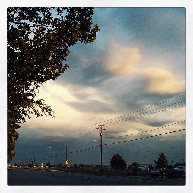
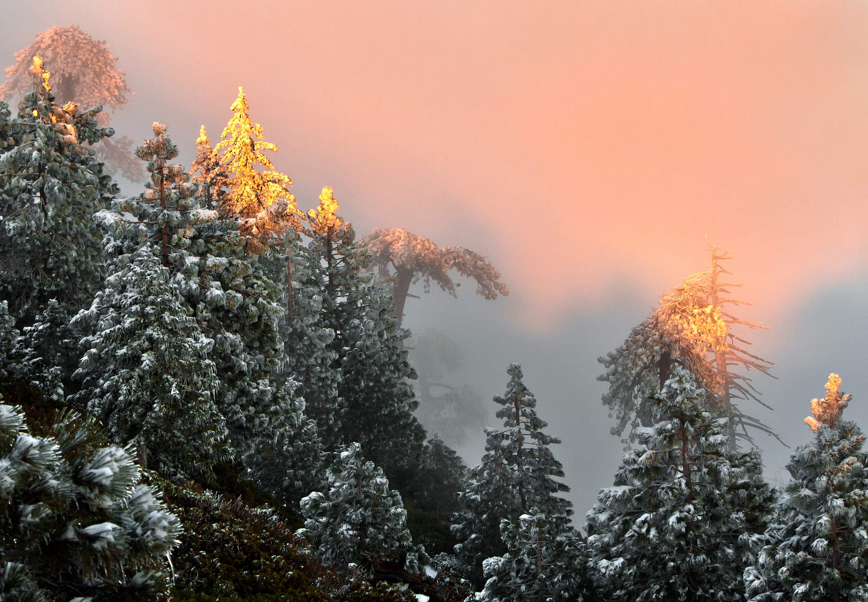
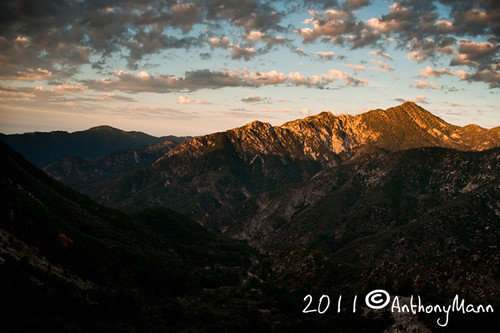
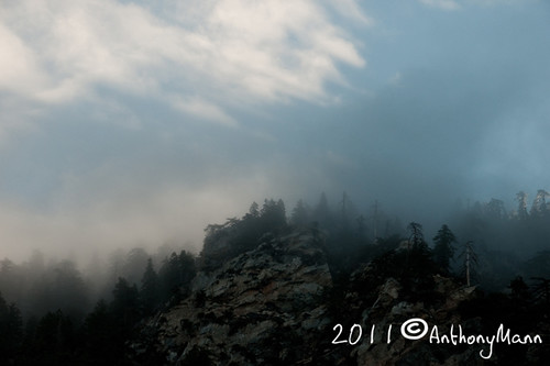
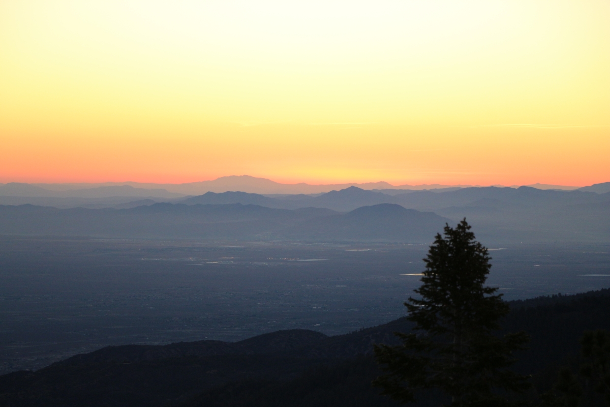
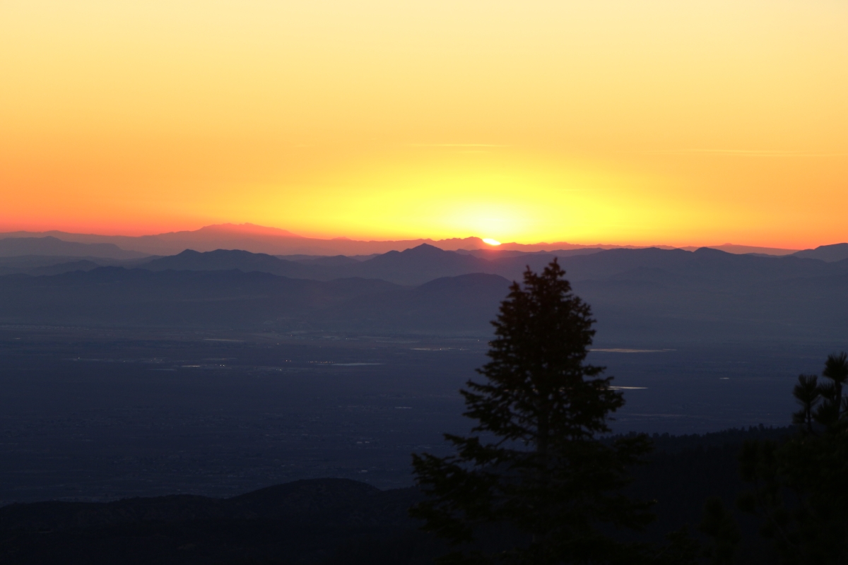
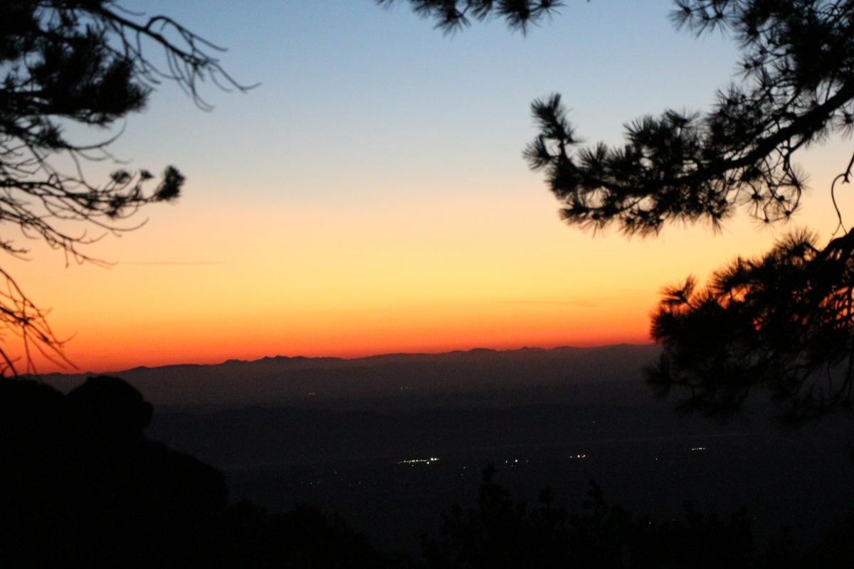
Fotos
Riding The Storm Out

Clearing Storm, Mount Williamson

Darkness Sets
Autumn at Jackson Lake

Fading Storm on Williamson [Explored]

Another great CA sunset
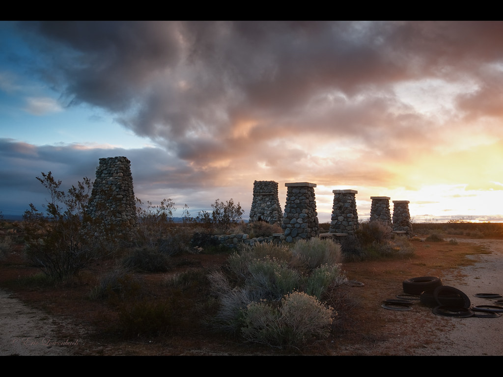
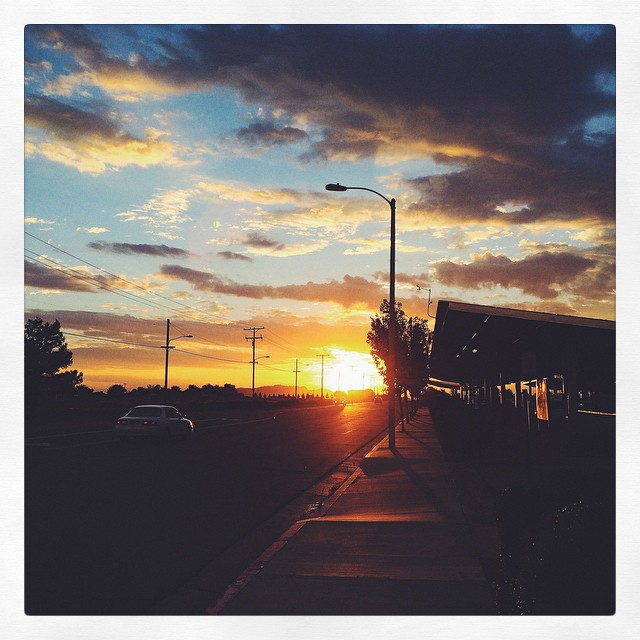
Pearblossom Highway Sunset
Sunset over the San Gabriel and Pleasant View Ridge Wilderness Areas

A Dream of Spring [Explored]

Lucid Winter Dream
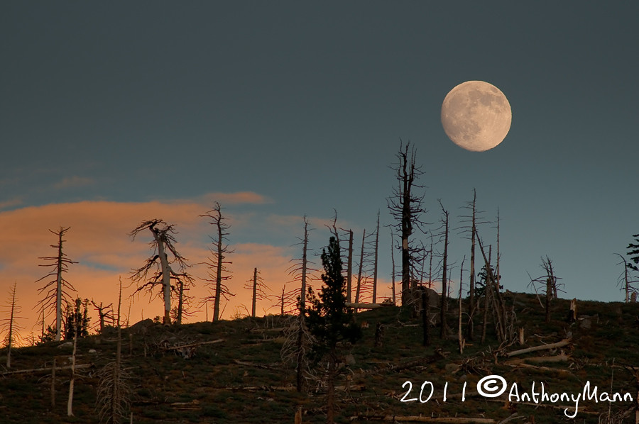
Moonrise over Mt. Williams
Life is harsh on the ridge.
Snowy Summit, Project 365: 61/365
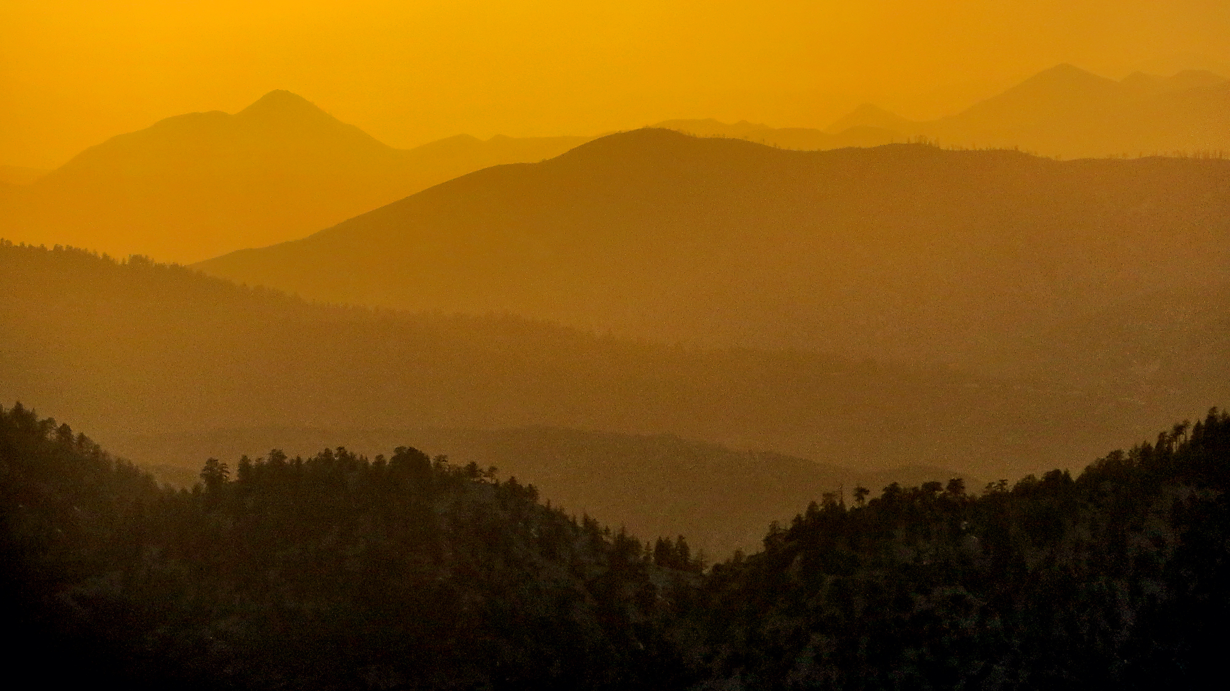
Tangerine Topography

Wake me when it's over [Explored]
Past the Mission
Started super early this morning, before the sun came out.
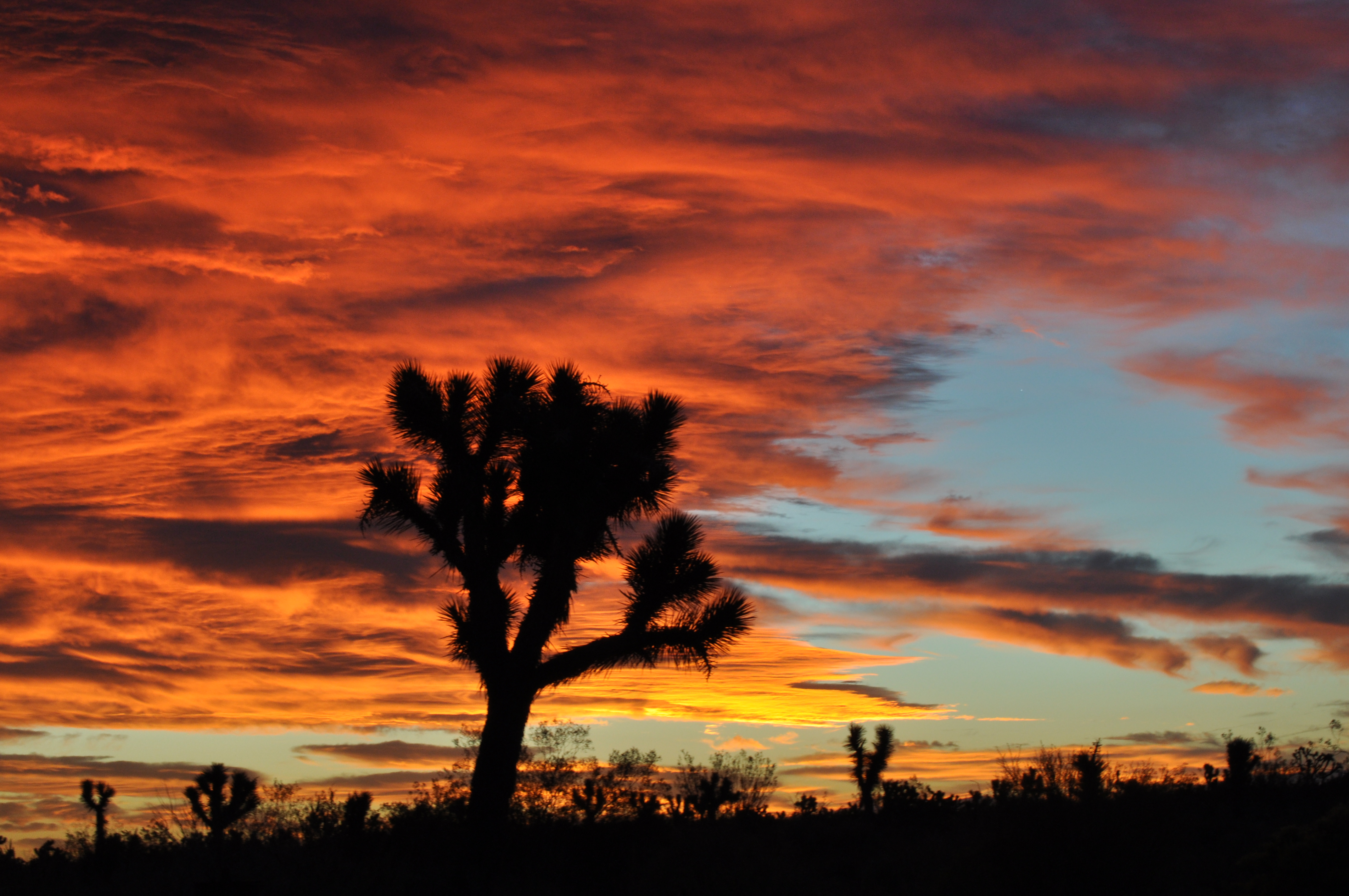
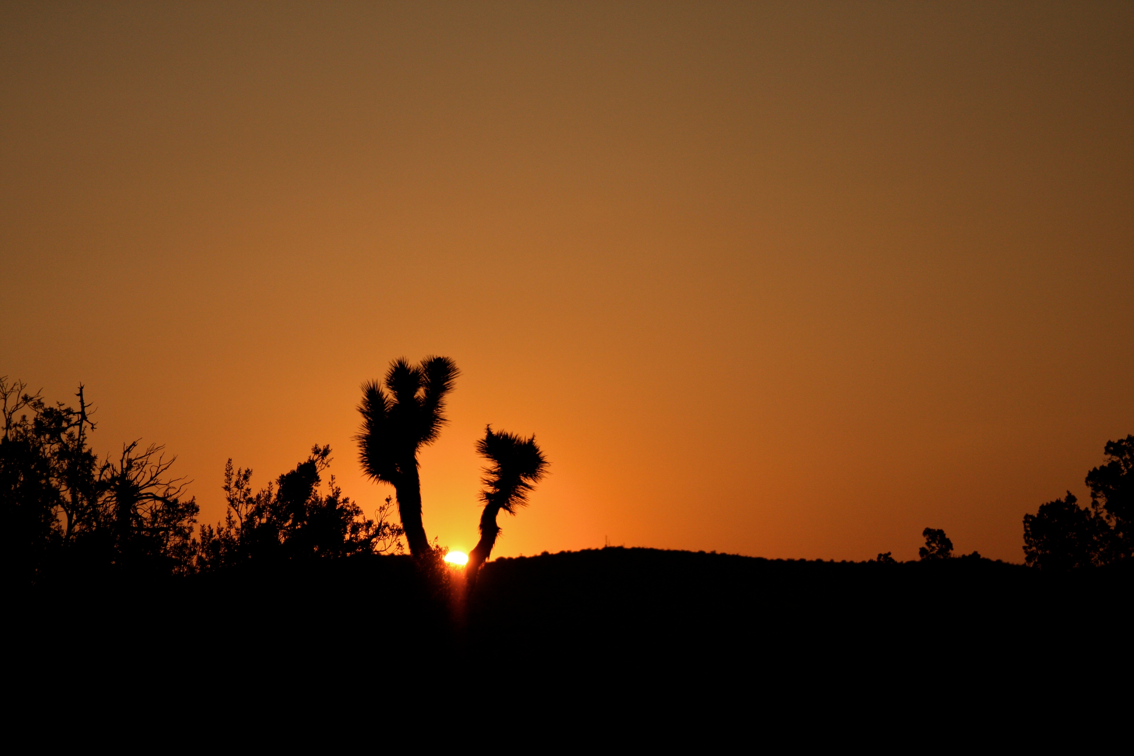
Joshua fire sky
Crisp Air
Lowering clouds in the west #VSCOCam #summerstorm
Kissed with Pink
Sunrise on Twin Peaks
Mt. Islip Sunrise
Foggy morning on Mt. Islip

Twin Peaks Sunrise
Snowy Sunrise
Four Aces (panorama)

Valyermo Dawn
Canyon Light
#VSCOCam Desert sunrise
Live 4eva
Joshua tree sunrise
313 Dawn's first light from our camp on the west ridge of Mount Islip
SGV Valley pano
Midwinter Cholla
326 Dawn light shining on our tent and campsite on the west ridge of Mount Islip
Sunset Bill
368 Sunrise over Victorville from our campsite on the ridge above the Dawson Saddle Trail

357 Sunrise over Victorville from our campsite on the ridge above the Dawson Saddle Trail
370 Sunrise over Victorville from our campsite on the ridge above the Dawson Saddle Trail
361 Sunrise over Victorville from our campsite on the ridge above the Dawson Saddle Trail
Mapa de E Ave X, Llano, CA, EE. UU.
Buscar otro lugar
Lugares cercanos
Boca Raton Avenue, Boca Raton Ave, Llano, CA, EE. UU.
Llano, CA, EE. UU.
N Valyermo Rd, Valyermo, CA, EE. UU.
Fort Tejon Rd, Pearblossom, CA, EE. UU.
E Ave W 6, Pearblossom, CA, EE. UU.
Pearblossom, California, EE. UU.
Lake Los Angeles, California, EE. UU.
96th Street East, 96th St E, California, EE. UU.
95th St E, Littlerock, CA, EE. UU.
Littlerock, California, EE. UU.
90th St E, Littlerock, CA, EE. UU.
Little Rock Reservoir, California, EE. UU.
Cheseboro Rd, Palmdale, CA, EE. UU.
Boxthorn St, Palmdale, CA, EE. UU.
Palmdale, California, EE. UU.
50th St E, Palmdale, CA, EE. UU.
Palmdale Hills Dr, Palmdale, CA, EE. UU.
Sulphur Springs Rd, Palmdale, CA, EE. UU.
Mount Emma Road, Mt Emma Rd, Palmdale, CA, EE. UU.
Dedham Ct, Palmdale, CA, EE. UU.
Búsquedas recientes
- Horas de salida y puesta de sol de Papingo 04, Grecia
- Horas de salida y puesta de sol de Pagonija rock, Kranto 7-oji g. 8"N, Kaunas, Lituania
- Horas de salida y puesta de sol de Co Rd 87, Jamestown, CO, USA
- Horas de salida y puesta de sol de Tenjo, Cundinamarca, Colombia
- Horas de salida y puesta de sol de -1 Gosho, Ichihara, Chiba -, Japan
- Horas de salida y puesta de sol de -, Japón
- Horas de salida y puesta de sol de Spaceport America, Co Rd A, Truth or Consequences, NM, USA
- Horas de salida y puesta de sol de Warwick, Rhode Island, EE. UU.
- Horas de salida y puesta de sol de Moriyama House, 3-chōme-21-21 Nishikamata, Ota City, Tokyo -, Japón
- Horas de salida y puesta de sol de Diez mil tatamis, Sawasaki, Sado, Niigata -, Japón