Park County, Wyoming, USA Sonnenaufgang Sonnenuntergang Zeiten
Location: USA > Wyoming >
Zeitzone:
America/Denver
Ortszeit:
2024-04-29 08:32:24
Länge:
-109.4579855
Breite:
44.6782103
Sonnenaufgang Heute:
06:09:07 AM
Sonnenuntergang Heute:
08:20:59 PM
Tageslänge heute:
14h 11m 52s
Sonnenaufgang morgen:
06:07:39 AM
Sonnenuntergang Morgen:
08:22:13 PM
Tageslänge von morgen:
14h 14m 34s
Alle Termine anzeigen
| Datum | Sonnenaufgang | Sonnenuntergang | Tageslänge |
|---|---|---|---|
| 2024-01-01 | 07:54:50 AM | 04:48:30 PM | 8h 53m 40s |
| 2024-01-02 | 07:54:50 AM | 04:49:26 PM | 8h 54m 36s |
| 2024-01-03 | 07:54:47 AM | 04:50:24 PM | 8h 55m 37s |
| 2024-01-04 | 07:54:42 AM | 04:51:23 PM | 8h 56m 41s |
| 2024-01-05 | 07:54:34 AM | 04:52:25 PM | 8h 57m 51s |
| 2024-01-06 | 07:54:23 AM | 04:53:28 PM | 8h 59m 5s |
| 2024-01-07 | 07:54:10 AM | 04:54:32 PM | 9h 0m 22s |
| 2024-01-08 | 07:53:55 AM | 04:55:38 PM | 9h 1m 43s |
| 2024-01-09 | 07:53:36 AM | 04:56:45 PM | 9h 3m 9s |
| 2024-01-10 | 07:53:16 AM | 04:57:54 PM | 9h 4m 38s |
| 2024-01-11 | 07:52:53 AM | 04:59:04 PM | 9h 6m 11s |
| 2024-01-12 | 07:52:27 AM | 05:00:16 PM | 9h 7m 49s |
| 2024-01-13 | 07:51:59 AM | 05:01:29 PM | 9h 9m 30s |
| 2024-01-14 | 07:51:28 AM | 05:02:42 PM | 9h 11m 14s |
| 2024-01-15 | 07:50:55 AM | 05:03:57 PM | 9h 13m 2s |
| 2024-01-16 | 07:50:20 AM | 05:05:13 PM | 9h 14m 53s |
| 2024-01-17 | 07:49:42 AM | 05:06:30 PM | 9h 16m 48s |
| 2024-01-18 | 07:49:02 AM | 05:07:48 PM | 9h 18m 46s |
| 2024-01-19 | 07:48:19 AM | 05:09:07 PM | 9h 20m 48s |
| 2024-01-20 | 07:47:35 AM | 05:10:26 PM | 9h 22m 51s |
| 2024-01-21 | 07:46:48 AM | 05:11:46 PM | 9h 24m 58s |
| 2024-01-22 | 07:45:59 AM | 05:13:07 PM | 9h 27m 8s |
| 2024-01-23 | 07:45:07 AM | 05:14:28 PM | 9h 29m 21s |
| 2024-01-24 | 07:44:14 AM | 05:15:50 PM | 9h 31m 36s |
| 2024-01-25 | 07:43:18 AM | 05:17:13 PM | 9h 33m 55s |
| 2024-01-26 | 07:42:21 AM | 05:18:36 PM | 9h 36m 15s |
| 2024-01-27 | 07:41:21 AM | 05:19:59 PM | 9h 38m 38s |
| 2024-01-28 | 07:40:19 AM | 05:21:23 PM | 9h 41m 4s |
| 2024-01-29 | 07:39:16 AM | 05:22:47 PM | 9h 43m 31s |
| 2024-01-30 | 07:38:11 AM | 05:24:11 PM | 9h 46m 0s |
| 2024-01-31 | 07:37:03 AM | 05:25:36 PM | 9h 48m 33s |
| 2024-02-01 | 07:35:54 AM | 05:27:01 PM | 9h 51m 7s |
| 2024-02-02 | 07:34:43 AM | 05:28:25 PM | 9h 53m 42s |
| 2024-02-03 | 07:33:31 AM | 05:29:50 PM | 9h 56m 19s |
| 2024-02-04 | 07:32:16 AM | 05:31:15 PM | 9h 58m 59s |
| 2024-02-05 | 07:31:00 AM | 05:32:41 PM | 10h 1m 41s |
| 2024-02-06 | 07:29:43 AM | 05:34:06 PM | 10h 4m 23s |
| 2024-02-07 | 07:28:24 AM | 05:35:31 PM | 10h 7m 7s |
| 2024-02-08 | 07:27:03 AM | 05:36:56 PM | 10h 9m 53s |
| 2024-02-09 | 07:25:41 AM | 05:38:21 PM | 10h 12m 40s |
| 2024-02-10 | 07:24:17 AM | 05:39:46 PM | 10h 15m 29s |
| 2024-02-11 | 07:22:52 AM | 05:41:10 PM | 10h 18m 18s |
| 2024-02-12 | 07:21:26 AM | 05:42:35 PM | 10h 21m 9s |
| 2024-02-13 | 07:19:58 AM | 05:43:59 PM | 10h 24m 1s |
| 2024-02-14 | 07:18:29 AM | 05:45:24 PM | 10h 26m 55s |
| 2024-02-15 | 07:16:58 AM | 05:46:48 PM | 10h 29m 50s |
| 2024-02-16 | 07:15:27 AM | 05:48:12 PM | 10h 32m 45s |
| 2024-02-17 | 07:13:54 AM | 05:49:35 PM | 10h 35m 41s |
| 2024-02-18 | 07:12:20 AM | 05:50:59 PM | 10h 38m 39s |
| 2024-02-19 | 07:10:45 AM | 05:52:22 PM | 10h 41m 37s |
| 2024-02-20 | 07:09:09 AM | 05:53:45 PM | 10h 44m 36s |
| 2024-02-21 | 07:07:32 AM | 05:55:07 PM | 10h 47m 35s |
| 2024-02-22 | 07:05:54 AM | 05:56:30 PM | 10h 50m 36s |
| 2024-02-23 | 07:04:15 AM | 05:57:52 PM | 10h 53m 37s |
| 2024-02-24 | 07:02:36 AM | 05:59:14 PM | 10h 56m 38s |
| 2024-02-25 | 07:00:55 AM | 06:00:35 PM | 10h 59m 40s |
| 2024-02-26 | 06:59:13 AM | 06:01:56 PM | 11h 2m 43s |
| 2024-02-27 | 06:57:31 AM | 06:03:17 PM | 11h 5m 46s |
| 2024-02-28 | 06:55:48 AM | 06:04:38 PM | 11h 8m 50s |
| 2024-02-29 | 06:54:04 AM | 06:05:58 PM | 11h 11m 54s |
| 2024-03-01 | 06:52:19 AM | 06:07:19 PM | 11h 15m 0s |
| 2024-03-02 | 06:50:34 AM | 06:08:38 PM | 11h 18m 4s |
| 2024-03-03 | 06:48:48 AM | 06:09:58 PM | 11h 21m 10s |
| 2024-03-04 | 06:47:01 AM | 06:11:17 PM | 11h 24m 16s |
| 2024-03-05 | 06:45:14 AM | 06:12:36 PM | 11h 27m 22s |
| 2024-03-06 | 06:43:27 AM | 06:13:55 PM | 11h 30m 28s |
| 2024-03-07 | 06:41:39 AM | 06:15:13 PM | 11h 33m 34s |
| 2024-03-08 | 06:39:50 AM | 06:16:32 PM | 11h 36m 42s |
| 2024-03-09 | 06:38:01 AM | 06:17:50 PM | 11h 39m 49s |
| 2024-03-10 | 07:36:16 AM | 07:19:04 PM | 11h 42m 48s |
| 2024-03-11 | 07:34:27 AM | 07:20:22 PM | 11h 45m 55s |
| 2024-03-12 | 07:32:37 AM | 07:21:39 PM | 11h 49m 2s |
| 2024-03-13 | 07:30:46 AM | 07:22:56 PM | 11h 52m 10s |
| 2024-03-14 | 07:28:56 AM | 07:24:13 PM | 11h 55m 17s |
| 2024-03-15 | 07:27:05 AM | 07:25:30 PM | 11h 58m 25s |
| 2024-03-16 | 07:25:14 AM | 07:26:46 PM | 12h 1m 32s |
| 2024-03-17 | 07:23:22 AM | 07:28:03 PM | 12h 4m 41s |
| 2024-03-18 | 07:21:31 AM | 07:29:19 PM | 12h 7m 48s |
| 2024-03-19 | 07:19:39 AM | 07:30:35 PM | 12h 10m 56s |
| 2024-03-20 | 07:17:48 AM | 07:31:51 PM | 12h 14m 3s |
| 2024-03-21 | 07:15:56 AM | 07:33:07 PM | 12h 17m 11s |
| 2024-03-22 | 07:14:04 AM | 07:34:22 PM | 12h 20m 18s |
| 2024-03-23 | 07:12:13 AM | 07:35:38 PM | 12h 23m 25s |
| 2024-03-24 | 07:10:21 AM | 07:36:53 PM | 12h 26m 32s |
| 2024-03-25 | 07:08:30 AM | 07:38:09 PM | 12h 29m 39s |
| 2024-03-26 | 07:06:38 AM | 07:39:24 PM | 12h 32m 46s |
| 2024-03-27 | 07:04:47 AM | 07:40:39 PM | 12h 35m 52s |
| 2024-03-28 | 07:02:56 AM | 07:41:54 PM | 12h 38m 58s |
| 2024-03-29 | 07:01:05 AM | 07:43:09 PM | 12h 42m 4s |
| 2024-03-30 | 06:59:14 AM | 07:44:24 PM | 12h 45m 10s |
| 2024-03-31 | 06:57:23 AM | 07:45:39 PM | 12h 48m 16s |
| 2024-04-01 | 06:55:33 AM | 07:46:54 PM | 12h 51m 21s |
| 2024-04-02 | 06:53:43 AM | 07:48:09 PM | 12h 54m 26s |
| 2024-04-03 | 06:51:54 AM | 07:49:24 PM | 12h 57m 30s |
| 2024-04-04 | 06:50:05 AM | 07:50:39 PM | 13h 0m 34s |
| 2024-04-05 | 06:48:16 AM | 07:51:53 PM | 13h 3m 37s |
| 2024-04-06 | 06:46:28 AM | 07:53:08 PM | 13h 6m 40s |
| 2024-04-07 | 06:44:40 AM | 07:54:23 PM | 13h 9m 43s |
| 2024-04-08 | 06:42:53 AM | 07:55:38 PM | 13h 12m 45s |
| 2024-04-09 | 06:41:06 AM | 07:56:52 PM | 13h 15m 46s |
| 2024-04-10 | 06:39:20 AM | 07:58:07 PM | 13h 18m 47s |
| 2024-04-11 | 06:37:34 AM | 07:59:22 PM | 13h 21m 48s |
| 2024-04-12 | 06:35:49 AM | 08:00:37 PM | 13h 24m 48s |
| 2024-04-13 | 06:34:05 AM | 08:01:52 PM | 13h 27m 47s |
| 2024-04-14 | 06:32:21 AM | 08:03:06 PM | 13h 30m 45s |
| 2024-04-15 | 06:30:38 AM | 08:04:21 PM | 13h 33m 43s |
| 2024-04-16 | 06:28:56 AM | 08:05:36 PM | 13h 36m 40s |
| 2024-04-17 | 06:27:15 AM | 08:06:50 PM | 13h 39m 35s |
| 2024-04-18 | 06:25:35 AM | 08:08:05 PM | 13h 42m 30s |
| 2024-04-19 | 06:23:55 AM | 08:09:20 PM | 13h 45m 25s |
| 2024-04-20 | 06:22:17 AM | 08:10:34 PM | 13h 48m 17s |
| 2024-04-21 | 06:20:39 AM | 08:11:49 PM | 13h 51m 10s |
| 2024-04-22 | 06:19:02 AM | 08:13:04 PM | 13h 54m 2s |
| 2024-04-23 | 06:17:26 AM | 08:14:18 PM | 13h 56m 52s |
| 2024-04-24 | 06:15:52 AM | 08:15:32 PM | 13h 59m 40s |
| 2024-04-25 | 06:14:18 AM | 08:16:47 PM | 14h 2m 29s |
| 2024-04-26 | 06:12:46 AM | 08:18:01 PM | 14h 5m 15s |
| 2024-04-27 | 06:11:14 AM | 08:19:15 PM | 14h 8m 1s |
| 2024-04-28 | 06:09:44 AM | 08:20:29 PM | 14h 10m 45s |
| 2024-04-29 | 06:08:15 AM | 08:21:42 PM | 14h 13m 27s |
| 2024-04-30 | 06:06:48 AM | 08:22:56 PM | 14h 16m 8s |
| 2024-05-01 | 06:05:21 AM | 08:24:09 PM | 14h 18m 48s |
| 2024-05-02 | 06:03:56 AM | 08:25:22 PM | 14h 21m 26s |
| 2024-05-03 | 06:02:33 AM | 08:26:35 PM | 14h 24m 2s |
| 2024-05-04 | 06:01:11 AM | 08:27:48 PM | 14h 26m 37s |
| 2024-05-05 | 05:59:50 AM | 08:29:00 PM | 14h 29m 10s |
| 2024-05-06 | 05:58:30 AM | 08:30:12 PM | 14h 31m 42s |
| 2024-05-07 | 05:57:13 AM | 08:31:23 PM | 14h 34m 10s |
| 2024-05-08 | 05:55:56 AM | 08:32:34 PM | 14h 36m 38s |
| 2024-05-09 | 05:54:42 AM | 08:33:45 PM | 14h 39m 3s |
| 2024-05-10 | 05:53:29 AM | 08:34:55 PM | 14h 41m 26s |
| 2024-05-11 | 05:52:17 AM | 08:36:05 PM | 14h 43m 48s |
| 2024-05-12 | 05:51:07 AM | 08:37:14 PM | 14h 46m 7s |
| 2024-05-13 | 05:50:00 AM | 08:38:22 PM | 14h 48m 22s |
| 2024-05-14 | 05:48:53 AM | 08:39:30 PM | 14h 50m 37s |
| 2024-05-15 | 05:47:49 AM | 08:40:38 PM | 14h 52m 49s |
| 2024-05-16 | 05:46:46 AM | 08:41:44 PM | 14h 54m 58s |
| 2024-05-17 | 05:45:45 AM | 08:42:50 PM | 14h 57m 5s |
| 2024-05-18 | 05:44:47 AM | 08:43:55 PM | 14h 59m 8s |
| 2024-05-19 | 05:43:50 AM | 08:44:59 PM | 15h 1m 9s |
| 2024-05-20 | 05:42:55 AM | 08:46:02 PM | 15h 3m 7s |
| 2024-05-21 | 05:42:02 AM | 08:47:05 PM | 15h 5m 3s |
| 2024-05-22 | 05:41:11 AM | 08:48:06 PM | 15h 6m 55s |
| 2024-05-23 | 05:40:22 AM | 08:49:06 PM | 15h 8m 44s |
| 2024-05-24 | 05:39:35 AM | 08:50:06 PM | 15h 10m 31s |
| 2024-05-25 | 05:38:50 AM | 08:51:04 PM | 15h 12m 14s |
| 2024-05-26 | 05:38:07 AM | 08:52:01 PM | 15h 13m 54s |
| 2024-05-27 | 05:37:27 AM | 08:52:56 PM | 15h 15m 29s |
| 2024-05-28 | 05:36:48 AM | 08:53:51 PM | 15h 17m 3s |
| 2024-05-29 | 05:36:12 AM | 08:54:44 PM | 15h 18m 32s |
| 2024-05-30 | 05:35:38 AM | 08:55:36 PM | 15h 19m 58s |
| 2024-05-31 | 05:35:06 AM | 08:56:26 PM | 15h 21m 20s |
| 2024-06-01 | 05:34:37 AM | 08:57:15 PM | 15h 22m 38s |
| 2024-06-02 | 05:34:10 AM | 08:58:02 PM | 15h 23m 52s |
| 2024-06-03 | 05:33:44 AM | 08:58:48 PM | 15h 25m 4s |
| 2024-06-04 | 05:33:22 AM | 08:59:32 PM | 15h 26m 10s |
| 2024-06-05 | 05:33:01 AM | 09:00:15 PM | 15h 27m 14s |
| 2024-06-06 | 05:32:43 AM | 09:00:55 PM | 15h 28m 12s |
| 2024-06-07 | 05:32:27 AM | 09:01:35 PM | 15h 29m 8s |
| 2024-06-08 | 05:32:14 AM | 09:02:12 PM | 15h 29m 58s |
| 2024-06-09 | 05:32:02 AM | 09:02:47 PM | 15h 30m 45s |
| 2024-06-10 | 05:31:53 AM | 09:03:21 PM | 15h 31m 28s |
| 2024-06-11 | 05:31:47 AM | 09:03:52 PM | 15h 32m 5s |
| 2024-06-12 | 05:31:42 AM | 09:04:22 PM | 15h 32m 40s |
| 2024-06-13 | 05:31:40 AM | 09:04:49 PM | 15h 33m 9s |
| 2024-06-14 | 05:31:40 AM | 09:05:15 PM | 15h 33m 35s |
| 2024-06-15 | 05:31:43 AM | 09:05:38 PM | 15h 33m 55s |
| 2024-06-16 | 05:31:48 AM | 09:06:00 PM | 15h 34m 12s |
| 2024-06-17 | 05:31:54 AM | 09:06:19 PM | 15h 34m 25s |
| 2024-06-18 | 05:32:04 AM | 09:06:36 PM | 15h 34m 32s |
| 2024-06-19 | 05:32:15 AM | 09:06:51 PM | 15h 34m 36s |
| 2024-06-20 | 05:32:28 AM | 09:07:03 PM | 15h 34m 35s |
| 2024-06-21 | 05:32:44 AM | 09:07:14 PM | 15h 34m 30s |
| 2024-06-22 | 05:33:02 AM | 09:07:22 PM | 15h 34m 20s |
| 2024-06-23 | 05:33:22 AM | 09:07:28 PM | 15h 34m 6s |
| 2024-06-24 | 05:33:44 AM | 09:07:31 PM | 15h 33m 47s |
| 2024-06-25 | 05:34:07 AM | 09:07:33 PM | 15h 33m 26s |
| 2024-06-26 | 05:34:33 AM | 09:07:31 PM | 15h 32m 58s |
| 2024-06-27 | 05:35:01 AM | 09:07:28 PM | 15h 32m 27s |
| 2024-06-28 | 05:35:31 AM | 09:07:22 PM | 15h 31m 51s |
| 2024-06-29 | 05:36:03 AM | 09:07:14 PM | 15h 31m 11s |
| 2024-06-30 | 05:36:36 AM | 09:07:04 PM | 15h 30m 28s |
| 2024-07-01 | 05:37:11 AM | 09:06:51 PM | 15h 29m 40s |
| 2024-07-02 | 05:37:48 AM | 09:06:36 PM | 15h 28m 48s |
| 2024-07-03 | 05:38:27 AM | 09:06:18 PM | 15h 27m 51s |
| 2024-07-04 | 05:39:08 AM | 09:05:59 PM | 15h 26m 51s |
| 2024-07-05 | 05:39:50 AM | 09:05:36 PM | 15h 25m 46s |
| 2024-07-06 | 05:40:33 AM | 09:05:12 PM | 15h 24m 39s |
| 2024-07-07 | 05:41:18 AM | 09:04:45 PM | 15h 23m 27s |
| 2024-07-08 | 05:42:05 AM | 09:04:16 PM | 15h 22m 11s |
| 2024-07-09 | 05:42:53 AM | 09:03:45 PM | 15h 20m 52s |
| 2024-07-10 | 05:43:42 AM | 09:03:11 PM | 15h 19m 29s |
| 2024-07-11 | 05:44:33 AM | 09:02:35 PM | 15h 18m 2s |
| 2024-07-12 | 05:45:25 AM | 09:01:57 PM | 15h 16m 32s |
| 2024-07-13 | 05:46:18 AM | 09:01:17 PM | 15h 14m 59s |
| 2024-07-14 | 05:47:12 AM | 09:00:35 PM | 15h 13m 23s |
| 2024-07-15 | 05:48:08 AM | 08:59:50 PM | 15h 11m 42s |
| 2024-07-16 | 05:49:04 AM | 08:59:03 PM | 15h 9m 59s |
| 2024-07-17 | 05:50:02 AM | 08:58:15 PM | 15h 8m 13s |
| 2024-07-18 | 05:51:00 AM | 08:57:24 PM | 15h 6m 24s |
| 2024-07-19 | 05:52:00 AM | 08:56:31 PM | 15h 4m 31s |
| 2024-07-20 | 05:53:00 AM | 08:55:36 PM | 15h 2m 36s |
| 2024-07-21 | 05:54:01 AM | 08:54:39 PM | 15h 0m 38s |
| 2024-07-22 | 05:55:03 AM | 08:53:40 PM | 14h 58m 37s |
| 2024-07-23 | 05:56:06 AM | 08:52:39 PM | 14h 56m 33s |
| 2024-07-24 | 05:57:09 AM | 08:51:37 PM | 14h 54m 28s |
| 2024-07-25 | 05:58:14 AM | 08:50:32 PM | 14h 52m 18s |
| 2024-07-26 | 05:59:18 AM | 08:49:26 PM | 14h 50m 8s |
| 2024-07-27 | 06:00:24 AM | 08:48:18 PM | 14h 47m 54s |
| 2024-07-28 | 06:01:29 AM | 08:47:08 PM | 14h 45m 39s |
| 2024-07-29 | 06:02:36 AM | 08:45:56 PM | 14h 43m 20s |
| 2024-07-30 | 06:03:43 AM | 08:44:43 PM | 14h 41m 0s |
| 2024-07-31 | 06:04:50 AM | 08:43:28 PM | 14h 38m 38s |
| 2024-08-01 | 06:05:58 AM | 08:42:11 PM | 14h 36m 13s |
| 2024-08-02 | 06:07:06 AM | 08:40:53 PM | 14h 33m 47s |
| 2024-08-03 | 06:08:14 AM | 08:39:33 PM | 14h 31m 19s |
| 2024-08-04 | 06:09:23 AM | 08:38:12 PM | 14h 28m 49s |
| 2024-08-05 | 06:10:31 AM | 08:36:49 PM | 14h 26m 18s |
| 2024-08-06 | 06:11:41 AM | 08:35:25 PM | 14h 23m 44s |
| 2024-08-07 | 06:12:50 AM | 08:34:00 PM | 14h 21m 10s |
| 2024-08-08 | 06:14:00 AM | 08:32:33 PM | 14h 18m 33s |
| 2024-08-09 | 06:15:09 AM | 08:31:05 PM | 14h 15m 56s |
| 2024-08-10 | 06:16:19 AM | 08:29:35 PM | 14h 13m 16s |
| 2024-08-11 | 06:17:29 AM | 08:28:05 PM | 14h 10m 36s |
| 2024-08-12 | 06:18:39 AM | 08:26:33 PM | 14h 7m 54s |
| 2024-08-13 | 06:19:50 AM | 08:25:00 PM | 14h 5m 10s |
| 2024-08-14 | 06:21:00 AM | 08:23:25 PM | 14h 2m 25s |
| 2024-08-15 | 06:22:10 AM | 08:21:50 PM | 13h 59m 40s |
| 2024-08-16 | 06:23:21 AM | 08:20:14 PM | 13h 56m 53s |
| 2024-08-17 | 06:24:31 AM | 08:18:36 PM | 13h 54m 5s |
| 2024-08-18 | 06:25:42 AM | 08:16:58 PM | 13h 51m 16s |
| 2024-08-19 | 06:26:52 AM | 08:15:18 PM | 13h 48m 26s |
| 2024-08-20 | 06:28:03 AM | 08:13:38 PM | 13h 45m 35s |
| 2024-08-21 | 06:29:13 AM | 08:11:56 PM | 13h 42m 43s |
| 2024-08-22 | 06:30:24 AM | 08:10:14 PM | 13h 39m 50s |
| 2024-08-23 | 06:31:34 AM | 08:08:31 PM | 13h 36m 57s |
| 2024-08-24 | 06:32:45 AM | 08:06:47 PM | 13h 34m 2s |
| 2024-08-25 | 06:33:55 AM | 08:05:03 PM | 13h 31m 8s |
| 2024-08-26 | 06:35:06 AM | 08:03:17 PM | 13h 28m 11s |
| 2024-08-27 | 06:36:16 AM | 08:01:31 PM | 13h 25m 15s |
| 2024-08-28 | 06:37:27 AM | 07:59:45 PM | 13h 22m 18s |
| 2024-08-29 | 06:38:37 AM | 07:57:57 PM | 13h 19m 20s |
| 2024-08-30 | 06:39:47 AM | 07:56:09 PM | 13h 16m 22s |
| 2024-08-31 | 06:40:58 AM | 07:54:21 PM | 13h 13m 23s |
| 2024-09-01 | 06:42:08 AM | 07:52:32 PM | 13h 10m 24s |
| 2024-09-02 | 06:43:18 AM | 07:50:42 PM | 13h 7m 24s |
| 2024-09-03 | 06:44:28 AM | 07:48:52 PM | 13h 4m 24s |
| 2024-09-04 | 06:45:38 AM | 07:47:02 PM | 13h 1m 24s |
| 2024-09-05 | 06:46:49 AM | 07:45:11 PM | 12h 58m 22s |
| 2024-09-06 | 06:47:59 AM | 07:43:20 PM | 12h 55m 21s |
| 2024-09-07 | 06:49:09 AM | 07:41:28 PM | 12h 52m 19s |
| 2024-09-08 | 06:50:19 AM | 07:39:36 PM | 12h 49m 17s |
| 2024-09-09 | 06:51:30 AM | 07:37:44 PM | 12h 46m 14s |
| 2024-09-10 | 06:52:40 AM | 07:35:51 PM | 12h 43m 11s |
| 2024-09-11 | 06:53:50 AM | 07:33:58 PM | 12h 40m 8s |
| 2024-09-12 | 06:55:00 AM | 07:32:05 PM | 12h 37m 5s |
| 2024-09-13 | 06:56:11 AM | 07:30:12 PM | 12h 34m 1s |
| 2024-09-14 | 06:57:21 AM | 07:28:19 PM | 12h 30m 58s |
| 2024-09-15 | 06:58:32 AM | 07:26:25 PM | 12h 27m 53s |
| 2024-09-16 | 06:59:42 AM | 07:24:32 PM | 12h 24m 50s |
| 2024-09-17 | 07:00:53 AM | 07:22:38 PM | 12h 21m 45s |
| 2024-09-18 | 07:02:04 AM | 07:20:45 PM | 12h 18m 41s |
| 2024-09-19 | 07:03:15 AM | 07:18:51 PM | 12h 15m 36s |
| 2024-09-20 | 07:04:26 AM | 07:16:58 PM | 12h 12m 32s |
| 2024-09-21 | 07:05:37 AM | 07:15:04 PM | 12h 9m 27s |
| 2024-09-22 | 07:06:48 AM | 07:13:11 PM | 12h 6m 23s |
| 2024-09-23 | 07:08:00 AM | 07:11:17 PM | 12h 3m 17s |
| 2024-09-24 | 07:09:12 AM | 07:09:24 PM | 12h 0m 12s |
| 2024-09-25 | 07:10:23 AM | 07:07:31 PM | 11h 57m 8s |
| 2024-09-26 | 07:11:35 AM | 07:05:39 PM | 11h 54m 4s |
| 2024-09-27 | 07:12:48 AM | 07:03:46 PM | 11h 50m 58s |
| 2024-09-28 | 07:14:00 AM | 07:01:54 PM | 11h 47m 54s |
| 2024-09-29 | 07:15:13 AM | 07:00:02 PM | 11h 44m 49s |
| 2024-09-30 | 07:16:26 AM | 06:58:11 PM | 11h 41m 45s |
| 2024-10-01 | 07:17:39 AM | 06:56:19 PM | 11h 38m 40s |
| 2024-10-02 | 07:18:52 AM | 06:54:29 PM | 11h 35m 37s |
| 2024-10-03 | 07:20:06 AM | 06:52:38 PM | 11h 32m 32s |
| 2024-10-04 | 07:21:20 AM | 06:50:49 PM | 11h 29m 29s |
| 2024-10-05 | 07:22:34 AM | 06:48:59 PM | 11h 26m 25s |
| 2024-10-06 | 07:23:48 AM | 06:47:10 PM | 11h 23m 22s |
| 2024-10-07 | 07:25:03 AM | 06:45:22 PM | 11h 20m 19s |
| 2024-10-08 | 07:26:18 AM | 06:43:35 PM | 11h 17m 17s |
| 2024-10-09 | 07:27:33 AM | 06:41:47 PM | 11h 14m 14s |
| 2024-10-10 | 07:28:49 AM | 06:40:01 PM | 11h 11m 12s |
| 2024-10-11 | 07:30:05 AM | 06:38:15 PM | 11h 8m 10s |
| 2024-10-12 | 07:31:21 AM | 06:36:31 PM | 11h 5m 10s |
| 2024-10-13 | 07:32:37 AM | 06:34:46 PM | 11h 2m 9s |
| 2024-10-14 | 07:33:54 AM | 06:33:03 PM | 10h 59m 9s |
| 2024-10-15 | 07:35:11 AM | 06:31:21 PM | 10h 56m 10s |
| 2024-10-16 | 07:36:29 AM | 06:29:39 PM | 10h 53m 10s |
| 2024-10-17 | 07:37:46 AM | 06:27:58 PM | 10h 50m 12s |
| 2024-10-18 | 07:39:04 AM | 06:26:18 PM | 10h 47m 14s |
| 2024-10-19 | 07:40:23 AM | 06:24:40 PM | 10h 44m 17s |
| 2024-10-20 | 07:41:41 AM | 06:23:02 PM | 10h 41m 21s |
| 2024-10-21 | 07:43:00 AM | 06:21:25 PM | 10h 38m 25s |
| 2024-10-22 | 07:44:20 AM | 06:19:49 PM | 10h 35m 29s |
| 2024-10-23 | 07:45:39 AM | 06:18:15 PM | 10h 32m 36s |
| 2024-10-24 | 07:46:59 AM | 06:16:42 PM | 10h 29m 43s |
| 2024-10-25 | 07:48:19 AM | 06:15:09 PM | 10h 26m 50s |
| 2024-10-26 | 07:49:39 AM | 06:13:39 PM | 10h 24m 0s |
| 2024-10-27 | 07:50:59 AM | 06:12:09 PM | 10h 21m 10s |
| 2024-10-28 | 07:52:20 AM | 06:10:41 PM | 10h 18m 21s |
| 2024-10-29 | 07:53:41 AM | 06:09:14 PM | 10h 15m 33s |
| 2024-10-30 | 07:55:02 AM | 06:07:48 PM | 10h 12m 46s |
| 2024-10-31 | 07:56:23 AM | 06:06:24 PM | 10h 10m 1s |
| 2024-11-01 | 07:57:44 AM | 06:05:01 PM | 10h 7m 17s |
| 2024-11-02 | 07:59:06 AM | 06:03:40 PM | 10h 4m 34s |
| 2024-11-03 | 07:00:31 AM | 05:02:18 PM | 10h 1m 47s |
| 2024-11-04 | 07:01:52 AM | 05:01:00 PM | 9h 59m 8s |
| 2024-11-05 | 07:03:14 AM | 04:59:44 PM | 9h 56m 30s |
| 2024-11-06 | 07:04:35 AM | 04:58:29 PM | 9h 53m 54s |
| 2024-11-07 | 07:05:57 AM | 04:57:16 PM | 9h 51m 19s |
| 2024-11-08 | 07:07:18 AM | 04:56:05 PM | 9h 48m 47s |
| 2024-11-09 | 07:08:39 AM | 04:54:56 PM | 9h 46m 17s |
| 2024-11-10 | 07:10:01 AM | 04:53:49 PM | 9h 43m 48s |
| 2024-11-11 | 07:11:22 AM | 04:52:43 PM | 9h 41m 21s |
| 2024-11-12 | 07:12:42 AM | 04:51:40 PM | 9h 38m 58s |
| 2024-11-13 | 07:14:03 AM | 04:50:38 PM | 9h 36m 35s |
| 2024-11-14 | 07:15:23 AM | 04:49:39 PM | 9h 34m 16s |
| 2024-11-15 | 07:16:43 AM | 04:48:41 PM | 9h 31m 58s |
| 2024-11-16 | 07:18:02 AM | 04:47:46 PM | 9h 29m 44s |
| 2024-11-17 | 07:19:21 AM | 04:46:53 PM | 9h 27m 32s |
| 2024-11-18 | 07:20:39 AM | 04:46:02 PM | 9h 25m 23s |
| 2024-11-19 | 07:21:57 AM | 04:45:13 PM | 9h 23m 16s |
| 2024-11-20 | 07:23:14 AM | 04:44:26 PM | 9h 21m 12s |
| 2024-11-21 | 07:24:30 AM | 04:43:42 PM | 9h 19m 12s |
| 2024-11-22 | 07:25:46 AM | 04:43:00 PM | 9h 17m 14s |
| 2024-11-23 | 07:27:01 AM | 04:42:20 PM | 9h 15m 19s |
| 2024-11-24 | 07:28:15 AM | 04:41:43 PM | 9h 13m 28s |
| 2024-11-25 | 07:29:28 AM | 04:41:08 PM | 9h 11m 40s |
| 2024-11-26 | 07:30:40 AM | 04:40:35 PM | 9h 9m 55s |
| 2024-11-27 | 07:31:51 AM | 04:40:05 PM | 9h 8m 14s |
| 2024-11-28 | 07:33:01 AM | 04:39:38 PM | 9h 6m 37s |
| 2024-11-29 | 07:34:10 AM | 04:39:13 PM | 9h 5m 3s |
| 2024-11-30 | 07:35:18 AM | 04:38:50 PM | 9h 3m 32s |
| 2024-12-01 | 07:36:24 AM | 04:38:30 PM | 9h 2m 6s |
| 2024-12-02 | 07:37:29 AM | 04:38:13 PM | 9h 0m 44s |
| 2024-12-03 | 07:38:32 AM | 04:37:58 PM | 8h 59m 26s |
| 2024-12-04 | 07:39:34 AM | 04:37:46 PM | 8h 58m 12s |
| 2024-12-05 | 07:40:35 AM | 04:37:36 PM | 8h 57m 1s |
| 2024-12-06 | 07:41:34 AM | 04:37:29 PM | 8h 55m 55s |
| 2024-12-07 | 07:42:31 AM | 04:37:25 PM | 8h 54m 54s |
| 2024-12-08 | 07:43:26 AM | 04:37:23 PM | 8h 53m 57s |
| 2024-12-09 | 07:44:20 AM | 04:37:24 PM | 8h 53m 4s |
| 2024-12-10 | 07:45:12 AM | 04:37:28 PM | 8h 52m 16s |
| 2024-12-11 | 07:46:02 AM | 04:37:34 PM | 8h 51m 32s |
| 2024-12-12 | 07:46:50 AM | 04:37:43 PM | 8h 50m 53s |
| 2024-12-13 | 07:47:36 AM | 04:37:54 PM | 8h 50m 18s |
| 2024-12-14 | 07:48:20 AM | 04:38:08 PM | 8h 49m 48s |
| 2024-12-15 | 07:49:01 AM | 04:38:24 PM | 8h 49m 23s |
| 2024-12-16 | 07:49:41 AM | 04:38:44 PM | 8h 49m 3s |
| 2024-12-17 | 07:50:18 AM | 04:39:05 PM | 8h 48m 47s |
| 2024-12-18 | 07:50:53 AM | 04:39:29 PM | 8h 48m 36s |
| 2024-12-19 | 07:51:26 AM | 04:39:56 PM | 8h 48m 30s |
| 2024-12-20 | 07:51:57 AM | 04:40:25 PM | 8h 48m 28s |
| 2024-12-21 | 07:52:25 AM | 04:40:57 PM | 8h 48m 32s |
| 2024-12-22 | 07:52:50 AM | 04:41:31 PM | 8h 48m 41s |
| 2024-12-23 | 07:53:14 AM | 04:42:07 PM | 8h 48m 53s |
| 2024-12-24 | 07:53:35 AM | 04:42:46 PM | 8h 49m 11s |
| 2024-12-25 | 07:53:53 AM | 04:43:27 PM | 8h 49m 34s |
| 2024-12-26 | 07:54:09 AM | 04:44:10 PM | 8h 50m 1s |
| 2024-12-27 | 07:54:22 AM | 04:44:55 PM | 8h 50m 33s |
| 2024-12-28 | 07:54:33 AM | 04:45:42 PM | 8h 51m 9s |
| 2024-12-29 | 07:54:41 AM | 04:46:32 PM | 8h 51m 51s |
| 2024-12-30 | 07:54:47 AM | 04:47:24 PM | 8h 52m 37s |
Fotos

Sunset near Cody.
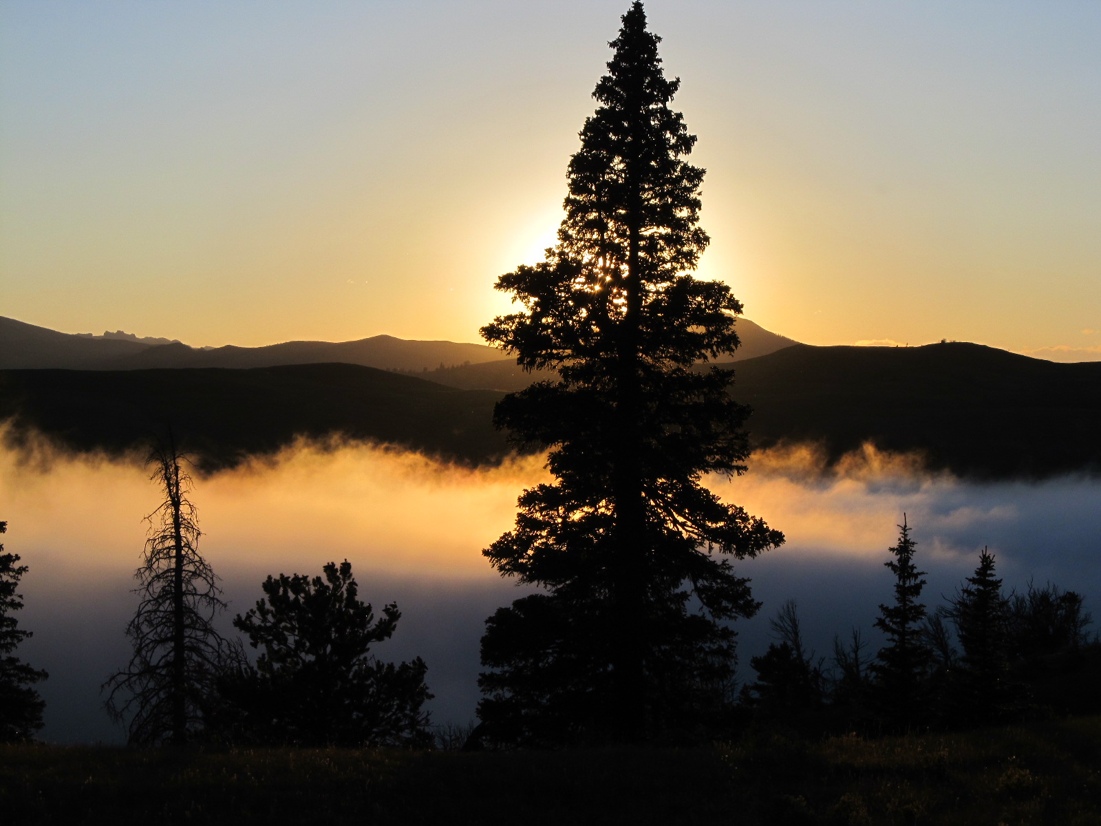
Wyoming Sunset
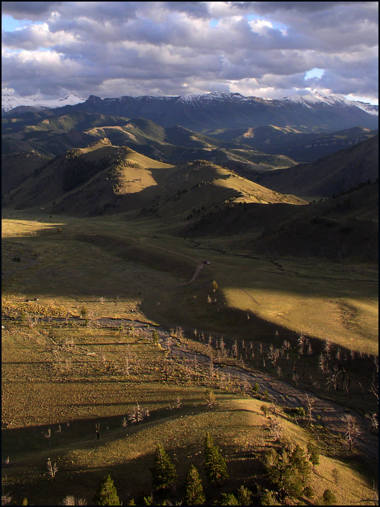
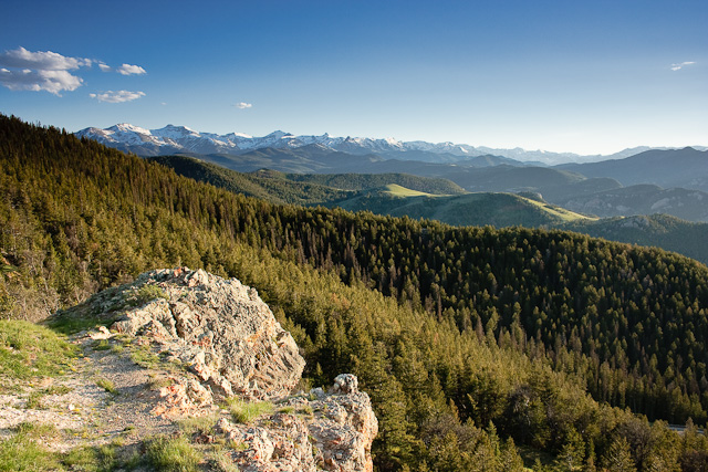
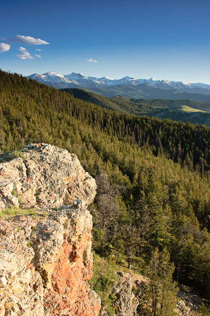
Painter Gulch, Absaroka Range, WY
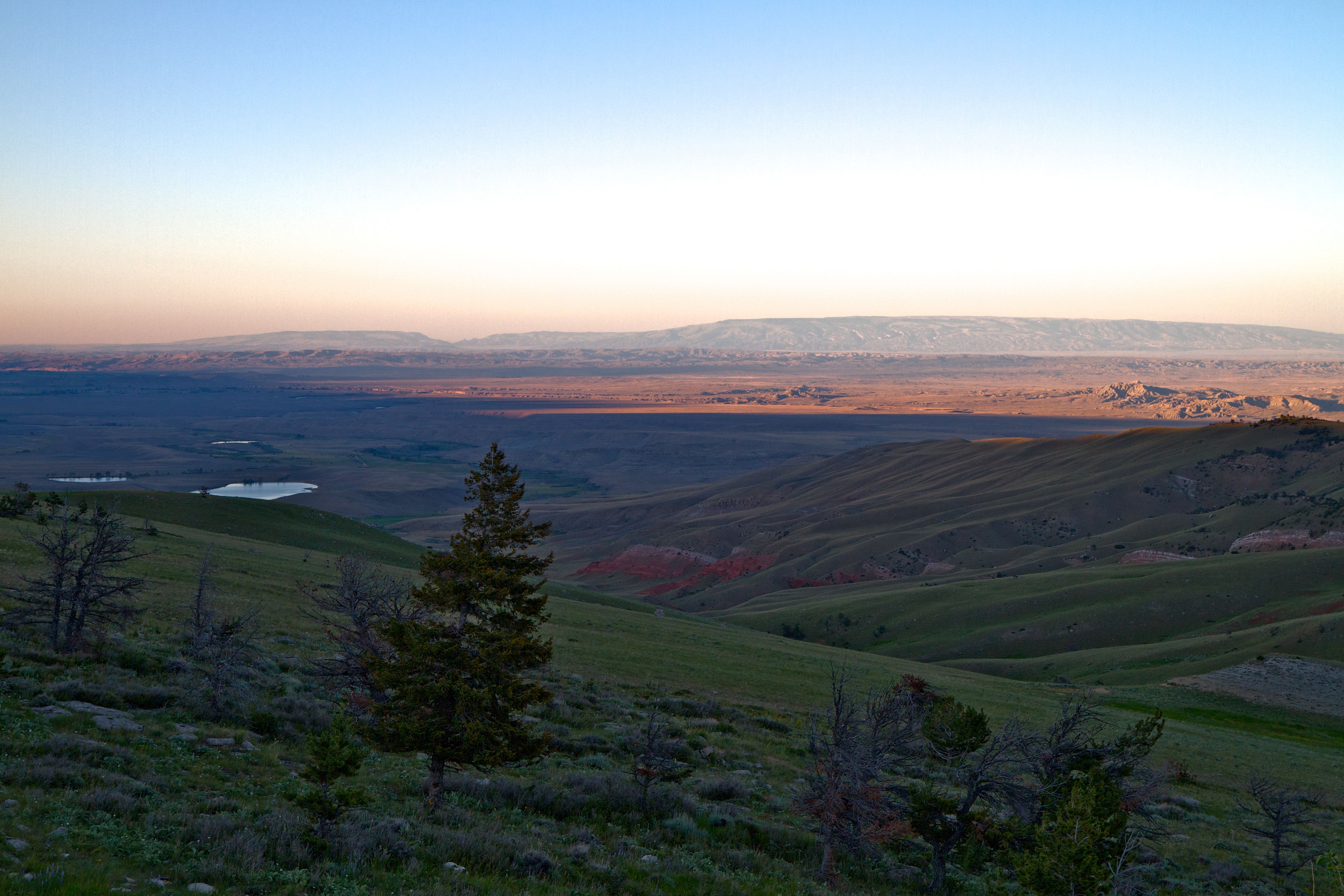
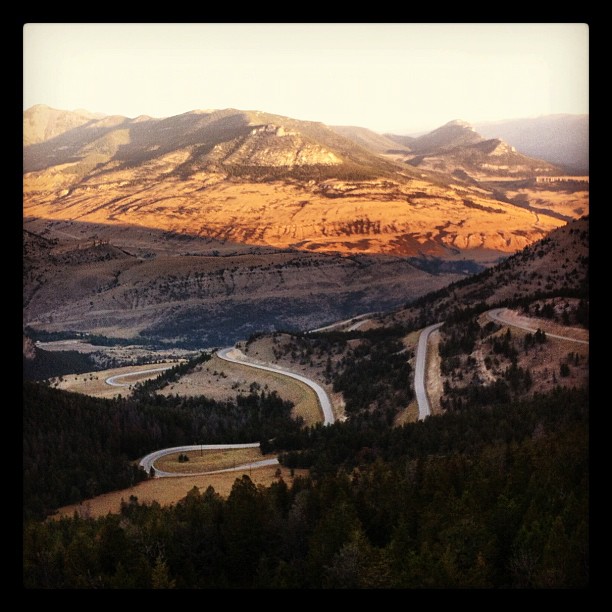
The desert at the bottom of the mountains.
Wyoming Sunset
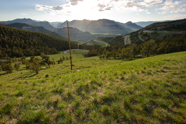
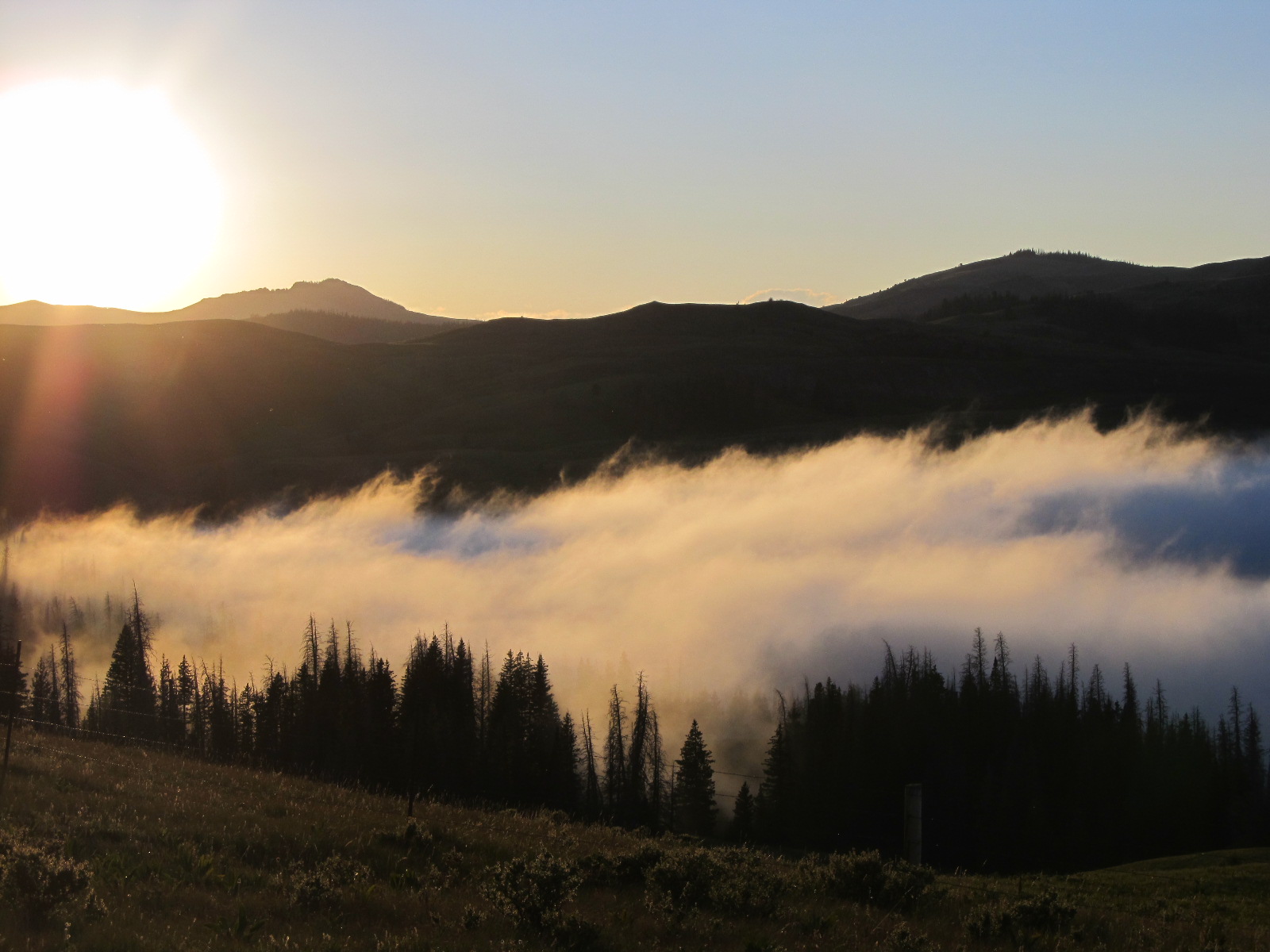
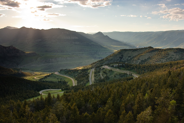
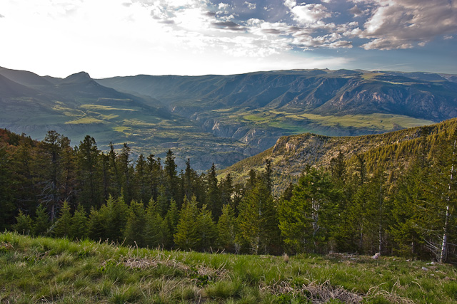
Dead Indian Pass
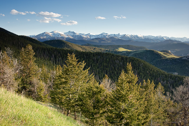
Dead Indian Pass
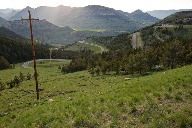
Dead Indian Pass
Dead Indian Pass
Dead Indian Pass
Dead Indian Pass
Dead Indian Pass
One never tires of this amazing view
Park County, Wyoming, USA Karte
Suchen Sie einen anderen Ort
Orte in Park County, Wyoming, USA
Cody, Wyoming, USA
Meeteetse, WY, USA
Powell, WY, USA
Wapiti, WY, USA
The Wall, Wyoming, USA
Canyon Village, WY, USA
Mammoth Hot Springs, Wyoming, USA
Dry Creek, WY, USA
Nahe Plätze
Sunlight Rd, Cody, WY, USA
85 The Way West Rd, Cody, WY, USA
Dead Indian Summit Overlook, Chief Joseph Hwy, Cody, WY, USA
The Wall, Wyoming, USA
N Fork Hwy, Cody, WY, USA
Wapiti, WY, USA
29 Pack Saddle Trail, Cody, WY, USA
81 Rd 6Cu, Cody, WY, USA
24 Rd 6Cu, Cody, WY, USA
26 Talon Dr, Cody, WY, USA
86 N Wapiti Estates Drives, Cody, WY, USA
1 Streamside Dr, Wapiti, WY, USA
59 Green Creek Rd, Cody, WY, USA
Sawtooth Mountain, Wyoming, USA
Stagecoach Trail, Cody, WY, USA
Buffalo Bill State Park, N Fork Hwy, Cody, WY, USA
Beartooth Highway, Beartooth Hwy, USA
Bear Tooth Pass Highway, Bear Tooth Pass Hwy, Cody, WY, USA
52 Moore Rd, Powell, WY, USA
93 Davis Draw Rd, Cody, WY, USA
Letzte Suche
- Leguwa, Nepal Sonnenaufgang Sonnenuntergang Zeiten
- Shustino, Vladimir Oblast, Russland Sonnenaufgang Sonnenuntergang Zeiten
- Lampiasi St, Sarasota, FL, USA Sonnenaufgang Sonnenuntergang Zeiten
- Japan, 〒- Toyama, Kubomotomachi, 12−31 APAガーデンコート稲荷 Sonnenaufgang Sonnenuntergang Zeiten
- Jialuohu, Datong Township, Yilan County, Taiwan Sonnenaufgang Sonnenuntergang Zeiten
- 大下港, Sekizenoge, Imabari, Präfektur Ehime -, Japan Sonnenaufgang Sonnenuntergang Zeiten
- Oge port Ferry Terminal, -1 Sekizenōge, Imabari, Ehime -, Japan Sonnenaufgang Sonnenuntergang Zeiten
- San Telmo, Autonomen Stadt Buenos Aires, Argentinien Sonnenaufgang Sonnenuntergang Zeiten
- Congressional Dr, Stevensville, MD, USA Sonnenaufgang Sonnenuntergang Zeiten
- Papingo 04, Griechenland Sonnenaufgang Sonnenuntergang Zeiten