Sunrise Sunset Times of Blackhill Range, Canterbury, New Zealand
Location: New Zealand > Canterbury > Double Hill >
Timezone:
Pacific/Auckland
Current Time:
2025-07-10 10:08:25
Longitude:
171.3958333
Latitude:
-43.4216666
Sunrise Today:
08:05:16 AM
Sunset Today:
05:14:22 PM
Daylength Today:
9h 9m 6s
Sunrise Tomorrow:
08:04:47 AM
Sunset Tomorrow:
05:15:08 PM
Daylength Tomorrow:
9h 10m 21s
Year Show All Dates
| Date | Sunrise | Sunset | Daylength |
|---|---|---|---|
| 01/01/2025 | 05:57:31 AM | 09:18:11 PM | 15h 20m 40s |
| 01/02/2025 | 05:58:25 AM | 09:18:14 PM | 15h 19m 49s |
| 01/03/2025 | 05:59:20 AM | 09:18:14 PM | 15h 18m 54s |
| 01/04/2025 | 06:00:18 AM | 09:18:11 PM | 15h 17m 53s |
| 01/05/2025 | 06:01:17 AM | 09:18:06 PM | 15h 16m 49s |
| 01/06/2025 | 06:02:18 AM | 09:17:58 PM | 15h 15m 40s |
| 01/07/2025 | 06:03:21 AM | 09:17:47 PM | 15h 14m 26s |
| 01/08/2025 | 06:04:25 AM | 09:17:35 PM | 15h 13m 10s |
| 01/09/2025 | 06:05:31 AM | 09:17:19 PM | 15h 11m 48s |
| 01/10/2025 | 06:06:38 AM | 09:17:01 PM | 15h 10m 23s |
| 01/11/2025 | 06:07:46 AM | 09:16:41 PM | 15h 8m 55s |
| 01/12/2025 | 06:08:56 AM | 09:16:18 PM | 15h 7m 22s |
| 01/13/2025 | 06:10:07 AM | 09:15:53 PM | 15h 5m 46s |
| 01/14/2025 | 06:11:19 AM | 09:15:25 PM | 15h 4m 6s |
| 01/15/2025 | 06:12:32 AM | 09:14:55 PM | 15h 2m 23s |
| 01/16/2025 | 06:13:46 AM | 09:14:22 PM | 15h 0m 36s |
| 01/17/2025 | 06:15:01 AM | 09:13:47 PM | 14h 58m 46s |
| 01/18/2025 | 06:16:17 AM | 09:13:10 PM | 14h 56m 53s |
| 01/19/2025 | 06:17:34 AM | 09:12:31 PM | 14h 54m 57s |
| 01/20/2025 | 06:18:52 AM | 09:11:49 PM | 14h 52m 57s |
| 01/21/2025 | 06:20:10 AM | 09:11:05 PM | 14h 50m 55s |
| 01/22/2025 | 06:21:29 AM | 09:10:19 PM | 14h 48m 50s |
| 01/23/2025 | 06:22:49 AM | 09:09:31 PM | 14h 46m 42s |
| 01/24/2025 | 06:24:10 AM | 09:08:40 PM | 14h 44m 30s |
| 01/25/2025 | 06:25:30 AM | 09:07:48 PM | 14h 42m 18s |
| 01/26/2025 | 06:26:52 AM | 09:06:53 PM | 14h 40m 1s |
| 01/27/2025 | 06:28:13 AM | 09:05:57 PM | 14h 37m 44s |
| 01/28/2025 | 06:29:35 AM | 09:04:58 PM | 14h 35m 23s |
| 01/29/2025 | 06:30:58 AM | 09:03:58 PM | 14h 33m 0s |
| 01/30/2025 | 06:32:20 AM | 09:02:55 PM | 14h 30m 35s |
| 01/31/2025 | 06:33:43 AM | 09:01:51 PM | 14h 28m 8s |
| 02/01/2025 | 06:35:06 AM | 09:00:45 PM | 14h 25m 39s |
| 02/02/2025 | 06:36:29 AM | 08:59:38 PM | 14h 23m 9s |
| 02/03/2025 | 06:37:52 AM | 08:58:28 PM | 14h 20m 36s |
| 02/04/2025 | 06:39:16 AM | 08:57:17 PM | 14h 18m 1s |
| 02/05/2025 | 06:40:39 AM | 08:56:04 PM | 14h 15m 25s |
| 02/06/2025 | 06:42:02 AM | 08:54:50 PM | 14h 12m 48s |
| 02/07/2025 | 06:43:26 AM | 08:53:34 PM | 14h 10m 8s |
| 02/08/2025 | 06:44:49 AM | 08:52:16 PM | 14h 7m 27s |
| 02/09/2025 | 06:46:12 AM | 08:50:57 PM | 14h 4m 45s |
| 02/10/2025 | 06:47:35 AM | 08:49:37 PM | 14h 2m 2s |
| 02/11/2025 | 06:48:58 AM | 08:48:15 PM | 13h 59m 17s |
| 02/12/2025 | 06:50:20 AM | 08:46:52 PM | 13h 56m 32s |
| 02/13/2025 | 06:51:43 AM | 08:45:28 PM | 13h 53m 45s |
| 02/14/2025 | 06:53:05 AM | 08:44:02 PM | 13h 50m 57s |
| 02/15/2025 | 06:54:27 AM | 08:42:35 PM | 13h 48m 8s |
| 02/16/2025 | 06:55:49 AM | 08:41:07 PM | 13h 45m 18s |
| 02/17/2025 | 06:57:10 AM | 08:39:37 PM | 13h 42m 27s |
| 02/18/2025 | 06:58:31 AM | 08:38:07 PM | 13h 39m 36s |
| 02/19/2025 | 06:59:52 AM | 08:36:35 PM | 13h 36m 43s |
| 02/20/2025 | 07:01:13 AM | 08:35:03 PM | 13h 33m 50s |
| 02/21/2025 | 07:02:33 AM | 08:33:29 PM | 13h 30m 56s |
| 02/22/2025 | 07:03:53 AM | 08:31:54 PM | 13h 28m 1s |
| 02/23/2025 | 07:05:13 AM | 08:30:19 PM | 13h 25m 6s |
| 02/24/2025 | 07:06:32 AM | 08:28:43 PM | 13h 22m 11s |
| 02/25/2025 | 07:07:51 AM | 08:27:05 PM | 13h 19m 14s |
| 02/26/2025 | 07:09:10 AM | 08:25:27 PM | 13h 16m 17s |
| 02/27/2025 | 07:10:28 AM | 08:23:48 PM | 13h 13m 20s |
| 02/28/2025 | 07:11:46 AM | 08:22:09 PM | 13h 10m 23s |
| 03/01/2025 | 07:13:04 AM | 08:20:29 PM | 13h 7m 25s |
| 03/02/2025 | 07:14:21 AM | 08:18:48 PM | 13h 4m 27s |
| 03/03/2025 | 07:15:38 AM | 08:17:06 PM | 13h 1m 28s |
| 03/04/2025 | 07:16:55 AM | 08:15:24 PM | 12h 58m 29s |
| 03/05/2025 | 07:18:11 AM | 08:13:41 PM | 12h 55m 30s |
| 03/06/2025 | 07:19:27 AM | 08:11:58 PM | 12h 52m 31s |
| 03/07/2025 | 07:20:43 AM | 08:10:14 PM | 12h 49m 31s |
| 03/08/2025 | 07:21:58 AM | 08:08:29 PM | 12h 46m 31s |
| 03/09/2025 | 07:23:13 AM | 08:06:45 PM | 12h 43m 32s |
| 03/10/2025 | 07:24:28 AM | 08:04:59 PM | 12h 40m 31s |
| 03/11/2025 | 07:25:43 AM | 08:03:14 PM | 12h 37m 31s |
| 03/12/2025 | 07:26:57 AM | 08:01:28 PM | 12h 34m 31s |
| 03/13/2025 | 07:28:11 AM | 07:59:42 PM | 12h 31m 31s |
| 03/14/2025 | 07:29:24 AM | 07:57:55 PM | 12h 28m 31s |
| 03/15/2025 | 07:30:38 AM | 07:56:09 PM | 12h 25m 31s |
| 03/16/2025 | 07:31:51 AM | 07:54:22 PM | 12h 22m 31s |
| 03/17/2025 | 07:33:04 AM | 07:52:34 PM | 12h 19m 30s |
| 03/18/2025 | 07:34:17 AM | 07:50:47 PM | 12h 16m 30s |
| 03/19/2025 | 07:35:29 AM | 07:49:00 PM | 12h 13m 31s |
| 03/20/2025 | 07:36:41 AM | 07:47:12 PM | 12h 10m 31s |
| 03/21/2025 | 07:37:53 AM | 07:45:25 PM | 12h 7m 32s |
| 03/22/2025 | 07:39:05 AM | 07:43:37 PM | 12h 4m 32s |
| 03/23/2025 | 07:40:17 AM | 07:41:50 PM | 12h 1m 33s |
| 03/24/2025 | 07:41:28 AM | 07:40:02 PM | 11h 58m 34s |
| 03/25/2025 | 07:42:40 AM | 07:38:15 PM | 11h 55m 35s |
| 03/26/2025 | 07:43:51 AM | 07:36:27 PM | 11h 52m 36s |
| 03/27/2025 | 07:45:02 AM | 07:34:40 PM | 11h 49m 38s |
| 03/28/2025 | 07:46:13 AM | 07:32:53 PM | 11h 46m 40s |
| 03/29/2025 | 07:47:24 AM | 07:31:06 PM | 11h 43m 42s |
| 03/30/2025 | 07:48:34 AM | 07:29:19 PM | 11h 40m 45s |
| 03/31/2025 | 07:49:45 AM | 07:27:33 PM | 11h 37m 48s |
| 04/01/2025 | 07:50:55 AM | 07:25:46 PM | 11h 34m 51s |
| 04/02/2025 | 07:52:06 AM | 07:24:01 PM | 11h 31m 55s |
| 04/03/2025 | 07:53:16 AM | 07:22:15 PM | 11h 28m 59s |
| 04/04/2025 | 07:54:26 AM | 07:20:30 PM | 11h 26m 4s |
| 04/05/2025 | 07:55:36 AM | 07:18:45 PM | 11h 23m 9s |
| 04/06/2025 | 06:56:49 AM | 06:16:57 PM | 11h 20m 8s |
| 04/06/2025 | 06:56:49 AM | 06:16:57 PM | 11h 20m 8s |
| 04/07/2025 | 06:57:59 AM | 06:15:13 PM | 11h 17m 14s |
| 04/08/2025 | 06:59:09 AM | 06:13:29 PM | 11h 14m 20s |
| 04/09/2025 | 07:00:19 AM | 06:11:46 PM | 11h 11m 27s |
| 04/10/2025 | 07:01:29 AM | 06:10:04 PM | 11h 8m 35s |
| 04/11/2025 | 07:02:39 AM | 06:08:23 PM | 11h 5m 44s |
| 04/12/2025 | 07:03:49 AM | 06:06:41 PM | 11h 2m 52s |
| 04/13/2025 | 07:04:58 AM | 06:05:01 PM | 11h 0m 3s |
| 04/14/2025 | 07:06:08 AM | 06:03:21 PM | 10h 57m 13s |
| 04/15/2025 | 07:07:18 AM | 06:01:42 PM | 10h 54m 24s |
| 04/16/2025 | 07:08:27 AM | 06:00:04 PM | 10h 51m 37s |
| 04/17/2025 | 07:09:37 AM | 05:58:27 PM | 10h 48m 50s |
| 04/18/2025 | 07:10:46 AM | 05:56:50 PM | 10h 46m 4s |
| 04/19/2025 | 07:11:56 AM | 05:55:14 PM | 10h 43m 18s |
| 04/20/2025 | 07:13:05 AM | 05:53:39 PM | 10h 40m 34s |
| 04/21/2025 | 07:14:15 AM | 05:52:05 PM | 10h 37m 50s |
| 04/22/2025 | 07:15:24 AM | 05:50:32 PM | 10h 35m 8s |
| 04/23/2025 | 07:16:33 AM | 05:49:00 PM | 10h 32m 27s |
| 04/24/2025 | 07:17:42 AM | 05:47:29 PM | 10h 29m 47s |
| 04/25/2025 | 07:18:51 AM | 05:45:59 PM | 10h 27m 8s |
| 04/26/2025 | 07:20:00 AM | 05:44:30 PM | 10h 24m 30s |
| 04/27/2025 | 07:21:09 AM | 05:43:02 PM | 10h 21m 53s |
| 04/28/2025 | 07:22:18 AM | 05:41:35 PM | 10h 19m 17s |
| 04/29/2025 | 07:23:27 AM | 05:40:09 PM | 10h 16m 42s |
| 04/30/2025 | 07:24:35 AM | 05:38:45 PM | 10h 14m 10s |
| 05/01/2025 | 07:25:43 AM | 05:37:22 PM | 10h 11m 39s |
| 05/02/2025 | 07:26:51 AM | 05:36:00 PM | 10h 9m 9s |
| 05/03/2025 | 07:27:59 AM | 05:34:39 PM | 10h 6m 40s |
| 05/04/2025 | 07:29:07 AM | 05:33:20 PM | 10h 4m 13s |
| 05/05/2025 | 07:30:14 AM | 05:32:02 PM | 10h 1m 48s |
| 05/06/2025 | 07:31:21 AM | 05:30:45 PM | 9h 59m 24s |
| 05/07/2025 | 07:32:28 AM | 05:29:30 PM | 9h 57m 2s |
| 05/08/2025 | 07:33:34 AM | 05:28:17 PM | 9h 54m 43s |
| 05/09/2025 | 07:34:40 AM | 05:27:05 PM | 9h 52m 25s |
| 05/10/2025 | 07:35:46 AM | 05:25:54 PM | 9h 50m 8s |
| 05/11/2025 | 07:36:51 AM | 05:24:45 PM | 9h 47m 54s |
| 05/12/2025 | 07:37:56 AM | 05:23:37 PM | 9h 45m 41s |
| 05/13/2025 | 07:39:00 AM | 05:22:32 PM | 9h 43m 32s |
| 05/14/2025 | 07:40:04 AM | 05:21:27 PM | 9h 41m 23s |
| 05/15/2025 | 07:41:08 AM | 05:20:25 PM | 9h 39m 17s |
| 05/16/2025 | 07:42:10 AM | 05:19:24 PM | 9h 37m 14s |
| 05/17/2025 | 07:43:12 AM | 05:18:25 PM | 9h 35m 13s |
| 05/18/2025 | 07:44:14 AM | 05:17:28 PM | 9h 33m 14s |
| 05/19/2025 | 07:45:14 AM | 05:16:33 PM | 9h 31m 19s |
| 05/20/2025 | 07:46:14 AM | 05:15:39 PM | 9h 29m 25s |
| 05/21/2025 | 07:47:14 AM | 05:14:47 PM | 9h 27m 33s |
| 05/22/2025 | 07:48:12 AM | 05:13:57 PM | 9h 25m 45s |
| 05/23/2025 | 07:49:10 AM | 05:13:09 PM | 9h 23m 59s |
| 05/24/2025 | 07:50:06 AM | 05:12:23 PM | 9h 22m 17s |
| 05/25/2025 | 07:51:02 AM | 05:11:39 PM | 9h 20m 37s |
| 05/26/2025 | 07:51:57 AM | 05:10:57 PM | 9h 19m 0s |
| 05/27/2025 | 07:52:50 AM | 05:10:17 PM | 9h 17m 27s |
| 05/28/2025 | 07:53:43 AM | 05:09:39 PM | 9h 15m 56s |
| 05/29/2025 | 07:54:35 AM | 05:09:03 PM | 9h 14m 28s |
| 05/30/2025 | 07:55:25 AM | 05:08:28 PM | 9h 13m 3s |
| 05/31/2025 | 07:56:14 AM | 05:07:56 PM | 9h 11m 42s |
| 06/01/2025 | 07:57:02 AM | 05:07:27 PM | 9h 10m 25s |
| 06/02/2025 | 07:57:49 AM | 05:06:59 PM | 9h 9m 10s |
| 06/03/2025 | 07:58:34 AM | 05:06:33 PM | 9h 7m 59s |
| 06/04/2025 | 07:59:18 AM | 05:06:09 PM | 9h 6m 51s |
| 06/05/2025 | 08:00:00 AM | 05:05:48 PM | 9h 5m 48s |
| 06/06/2025 | 08:00:41 AM | 05:05:28 PM | 9h 4m 47s |
| 06/07/2025 | 08:01:20 AM | 05:05:11 PM | 9h 3m 51s |
| 06/08/2025 | 08:01:58 AM | 05:04:56 PM | 9h 2m 58s |
| 06/09/2025 | 08:02:35 AM | 05:04:43 PM | 9h 2m 8s |
| 06/10/2025 | 08:03:09 AM | 05:04:32 PM | 9h 1m 23s |
| 06/11/2025 | 08:03:42 AM | 05:04:23 PM | 9h 0m 41s |
| 06/12/2025 | 08:04:13 AM | 05:04:17 PM | 9h 0m 4s |
| 06/13/2025 | 08:04:43 AM | 05:04:12 PM | 8h 59m 29s |
| 06/14/2025 | 08:05:11 AM | 05:04:10 PM | 8h 58m 59s |
| 06/15/2025 | 08:05:37 AM | 05:04:09 PM | 8h 58m 32s |
| 06/16/2025 | 08:06:01 AM | 05:04:11 PM | 8h 58m 10s |
| 06/17/2025 | 08:06:23 AM | 05:04:15 PM | 8h 57m 52s |
| 06/18/2025 | 08:06:43 AM | 05:04:21 PM | 8h 57m 38s |
| 06/19/2025 | 08:07:01 AM | 05:04:29 PM | 8h 57m 28s |
| 06/20/2025 | 08:07:17 AM | 05:04:39 PM | 8h 57m 22s |
| 06/21/2025 | 08:07:32 AM | 05:04:50 PM | 8h 57m 18s |
| 06/22/2025 | 08:07:44 AM | 05:05:04 PM | 8h 57m 20s |
| 06/23/2025 | 08:07:54 AM | 05:05:20 PM | 8h 57m 26s |
| 06/24/2025 | 08:08:02 AM | 05:05:38 PM | 8h 57m 36s |
| 06/25/2025 | 08:08:08 AM | 05:05:58 PM | 8h 57m 50s |
| 06/26/2025 | 08:08:12 AM | 05:06:19 PM | 8h 58m 7s |
| 06/27/2025 | 08:08:14 AM | 05:06:42 PM | 8h 58m 28s |
| 06/28/2025 | 08:08:13 AM | 05:07:07 PM | 8h 58m 54s |
| 06/29/2025 | 08:08:11 AM | 05:07:34 PM | 8h 59m 23s |
| 06/30/2025 | 08:08:06 AM | 05:08:03 PM | 8h 59m 57s |
| 07/01/2025 | 08:07:59 AM | 05:08:33 PM | 9h 0m 34s |
| 07/02/2025 | 08:07:50 AM | 05:09:05 PM | 9h 1m 15s |
| 07/03/2025 | 08:07:39 AM | 05:09:39 PM | 9h 2m 0s |
| 07/04/2025 | 08:07:26 AM | 05:10:14 PM | 9h 2m 48s |
| 07/05/2025 | 08:07:10 AM | 05:10:50 PM | 9h 3m 40s |
| 07/06/2025 | 08:06:53 AM | 05:11:29 PM | 9h 4m 36s |
| 07/07/2025 | 08:06:33 AM | 05:12:08 PM | 9h 5m 35s |
| 07/08/2025 | 08:06:11 AM | 05:12:49 PM | 9h 6m 38s |
| 07/09/2025 | 08:05:46 AM | 05:13:31 PM | 9h 7m 45s |
| 07/10/2025 | 08:05:20 AM | 05:14:15 PM | 9h 8m 55s |
| 07/11/2025 | 08:04:52 AM | 05:15:00 PM | 9h 10m 8s |
| 07/12/2025 | 08:04:21 AM | 05:15:46 PM | 9h 11m 25s |
| 07/13/2025 | 08:03:49 AM | 05:16:33 PM | 9h 12m 44s |
| 07/14/2025 | 08:03:14 AM | 05:17:22 PM | 9h 14m 8s |
| 07/15/2025 | 08:02:37 AM | 05:18:11 PM | 9h 15m 34s |
| 07/16/2025 | 08:01:58 AM | 05:19:02 PM | 9h 17m 4s |
| 07/17/2025 | 08:01:17 AM | 05:19:53 PM | 9h 18m 36s |
| 07/18/2025 | 08:00:34 AM | 05:20:46 PM | 9h 20m 12s |
| 07/19/2025 | 07:59:49 AM | 05:21:39 PM | 9h 21m 50s |
| 07/20/2025 | 07:59:02 AM | 05:22:34 PM | 9h 23m 32s |
| 07/21/2025 | 07:58:13 AM | 05:23:29 PM | 9h 25m 16s |
| 07/22/2025 | 07:57:23 AM | 05:24:25 PM | 9h 27m 2s |
| 07/23/2025 | 07:56:30 AM | 05:25:22 PM | 9h 28m 52s |
| 07/24/2025 | 07:55:35 AM | 05:26:19 PM | 9h 30m 44s |
| 07/25/2025 | 07:54:39 AM | 05:27:17 PM | 9h 32m 38s |
| 07/26/2025 | 07:53:41 AM | 05:28:16 PM | 9h 34m 35s |
| 07/27/2025 | 07:52:41 AM | 05:29:15 PM | 9h 36m 34s |
| 07/28/2025 | 07:51:39 AM | 05:30:15 PM | 9h 38m 36s |
| 07/29/2025 | 07:50:36 AM | 05:31:15 PM | 9h 40m 39s |
| 07/30/2025 | 07:49:30 AM | 05:32:16 PM | 9h 42m 46s |
| 07/31/2025 | 07:48:24 AM | 05:33:17 PM | 9h 44m 53s |
| 08/01/2025 | 07:47:15 AM | 05:34:19 PM | 9h 47m 4s |
| 08/02/2025 | 07:46:05 AM | 05:35:21 PM | 9h 49m 16s |
| 08/03/2025 | 07:44:53 AM | 05:36:24 PM | 9h 51m 31s |
| 08/04/2025 | 07:43:40 AM | 05:37:26 PM | 9h 53m 46s |
| 08/05/2025 | 07:42:25 AM | 05:38:29 PM | 9h 56m 4s |
| 08/06/2025 | 07:41:09 AM | 05:39:33 PM | 9h 58m 24s |
| 08/07/2025 | 07:39:52 AM | 05:40:36 PM | 10h 0m 44s |
| 08/08/2025 | 07:38:33 AM | 05:41:40 PM | 10h 3m 7s |
| 08/09/2025 | 07:37:12 AM | 05:42:44 PM | 10h 5m 32s |
| 08/10/2025 | 07:35:50 AM | 05:43:49 PM | 10h 7m 59s |
| 08/11/2025 | 07:34:27 AM | 05:44:53 PM | 10h 10m 26s |
| 08/12/2025 | 07:33:03 AM | 05:45:58 PM | 10h 12m 55s |
| 08/13/2025 | 07:31:37 AM | 05:47:02 PM | 10h 15m 25s |
| 08/14/2025 | 07:30:10 AM | 05:48:07 PM | 10h 17m 57s |
| 08/15/2025 | 07:28:42 AM | 05:49:12 PM | 10h 20m 30s |
| 08/16/2025 | 07:27:13 AM | 05:50:17 PM | 10h 23m 4s |
| 08/17/2025 | 07:25:43 AM | 05:51:22 PM | 10h 25m 39s |
| 08/18/2025 | 07:24:12 AM | 05:52:27 PM | 10h 28m 15s |
| 08/19/2025 | 07:22:39 AM | 05:53:32 PM | 10h 30m 53s |
| 08/20/2025 | 07:21:06 AM | 05:54:38 PM | 10h 33m 32s |
| 08/21/2025 | 07:19:31 AM | 05:55:43 PM | 10h 36m 12s |
| 08/22/2025 | 07:17:56 AM | 05:56:48 PM | 10h 38m 52s |
| 08/23/2025 | 07:16:20 AM | 05:57:54 PM | 10h 41m 34s |
| 08/24/2025 | 07:14:42 AM | 05:58:59 PM | 10h 44m 17s |
| 08/25/2025 | 07:13:04 AM | 06:00:04 PM | 10h 47m 0s |
| 08/26/2025 | 07:11:25 AM | 06:01:10 PM | 10h 49m 45s |
| 08/27/2025 | 07:09:46 AM | 06:02:15 PM | 10h 52m 29s |
| 08/28/2025 | 07:08:05 AM | 06:03:20 PM | 10h 55m 15s |
| 08/29/2025 | 07:06:24 AM | 06:04:26 PM | 10h 58m 2s |
| 08/30/2025 | 07:04:42 AM | 06:05:31 PM | 11h 0m 49s |
| 08/31/2025 | 07:03:00 AM | 06:06:36 PM | 11h 3m 36s |
| 09/01/2025 | 07:01:17 AM | 06:07:42 PM | 11h 6m 25s |
| 09/02/2025 | 06:59:33 AM | 06:08:47 PM | 11h 9m 14s |
| 09/03/2025 | 06:57:49 AM | 06:09:53 PM | 11h 12m 4s |
| 09/04/2025 | 06:56:04 AM | 06:10:58 PM | 11h 14m 54s |
| 09/05/2025 | 06:54:18 AM | 06:12:03 PM | 11h 17m 45s |
| 09/06/2025 | 06:52:32 AM | 06:13:09 PM | 11h 20m 37s |
| 09/07/2025 | 06:50:46 AM | 06:14:14 PM | 11h 23m 28s |
| 09/08/2025 | 06:48:59 AM | 06:15:20 PM | 11h 26m 21s |
| 09/09/2025 | 06:47:12 AM | 06:16:26 PM | 11h 29m 14s |
| 09/10/2025 | 06:45:25 AM | 06:17:31 PM | 11h 32m 6s |
| 09/11/2025 | 06:43:37 AM | 06:18:37 PM | 11h 35m 0s |
| 09/12/2025 | 06:41:49 AM | 06:19:43 PM | 11h 37m 54s |
| 09/13/2025 | 06:40:00 AM | 06:20:49 PM | 11h 40m 49s |
| 09/14/2025 | 06:38:11 AM | 06:21:55 PM | 11h 43m 44s |
| 09/15/2025 | 06:36:23 AM | 06:23:01 PM | 11h 46m 38s |
| 09/16/2025 | 06:34:33 AM | 06:24:07 PM | 11h 49m 34s |
| 09/17/2025 | 06:32:44 AM | 06:25:13 PM | 11h 52m 29s |
| 09/18/2025 | 06:30:55 AM | 06:26:20 PM | 11h 55m 25s |
| 09/19/2025 | 06:29:05 AM | 06:27:27 PM | 11h 58m 22s |
| 09/20/2025 | 06:27:16 AM | 06:28:33 PM | 12h 1m 17s |
| 09/21/2025 | 06:25:26 AM | 06:29:40 PM | 12h 4m 14s |
| 09/22/2025 | 06:23:37 AM | 06:30:47 PM | 12h 7m 10s |
| 09/23/2025 | 06:21:47 AM | 06:31:55 PM | 12h 10m 8s |
| 09/24/2025 | 06:19:58 AM | 06:33:02 PM | 12h 13m 4s |
| 09/25/2025 | 06:18:08 AM | 06:34:10 PM | 12h 16m 2s |
| 09/26/2025 | 06:16:19 AM | 06:35:18 PM | 12h 18m 59s |
| 09/27/2025 | 06:14:30 AM | 06:36:26 PM | 12h 21m 56s |
| 09/29/2025 | 07:10:57 AM | 07:38:40 PM | 12h 27m 43s |
| 09/30/2025 | 07:09:08 AM | 07:39:49 PM | 12h 30m 41s |
| 10/01/2025 | 07:07:20 AM | 07:40:58 PM | 12h 33m 38s |
| 10/02/2025 | 07:05:32 AM | 07:42:07 PM | 12h 36m 35s |
| 10/03/2025 | 07:03:44 AM | 07:43:17 PM | 12h 39m 33s |
| 10/04/2025 | 07:01:57 AM | 07:44:27 PM | 12h 42m 30s |
| 10/05/2025 | 07:00:10 AM | 07:45:37 PM | 12h 45m 27s |
| 10/06/2025 | 06:58:24 AM | 07:46:48 PM | 12h 48m 24s |
| 10/07/2025 | 06:56:38 AM | 07:47:59 PM | 12h 51m 21s |
| 10/08/2025 | 06:54:52 AM | 07:49:10 PM | 12h 54m 18s |
| 10/09/2025 | 06:53:07 AM | 07:50:22 PM | 12h 57m 15s |
| 10/10/2025 | 06:51:23 AM | 07:51:34 PM | 13h 0m 11s |
| 10/11/2025 | 06:49:39 AM | 07:52:46 PM | 13h 3m 7s |
| 10/12/2025 | 06:47:56 AM | 07:53:59 PM | 13h 6m 3s |
| 10/13/2025 | 06:46:13 AM | 07:55:12 PM | 13h 8m 59s |
| 10/14/2025 | 06:44:31 AM | 07:56:25 PM | 13h 11m 54s |
| 10/15/2025 | 06:42:50 AM | 07:57:39 PM | 13h 14m 49s |
| 10/16/2025 | 06:41:10 AM | 07:58:53 PM | 13h 17m 43s |
| 10/17/2025 | 06:39:30 AM | 08:00:07 PM | 13h 20m 37s |
| 10/18/2025 | 06:37:51 AM | 08:01:22 PM | 13h 23m 31s |
| 10/19/2025 | 06:36:13 AM | 08:02:37 PM | 13h 26m 24s |
| 10/20/2025 | 06:34:36 AM | 08:03:53 PM | 13h 29m 17s |
| 10/21/2025 | 06:33:00 AM | 08:05:09 PM | 13h 32m 9s |
| 10/22/2025 | 06:31:25 AM | 08:06:25 PM | 13h 35m 0s |
| 10/23/2025 | 06:29:51 AM | 08:07:41 PM | 13h 37m 50s |
| 10/24/2025 | 06:28:18 AM | 08:08:58 PM | 13h 40m 40s |
| 10/25/2025 | 06:26:46 AM | 08:10:15 PM | 13h 43m 29s |
| 10/26/2025 | 06:25:15 AM | 08:11:33 PM | 13h 46m 18s |
| 10/27/2025 | 06:23:45 AM | 08:12:51 PM | 13h 49m 6s |
| 10/28/2025 | 06:22:17 AM | 08:14:09 PM | 13h 51m 52s |
| 10/29/2025 | 06:20:50 AM | 08:15:27 PM | 13h 54m 37s |
| 10/30/2025 | 06:19:24 AM | 08:16:46 PM | 13h 57m 22s |
| 10/31/2025 | 06:17:59 AM | 08:18:04 PM | 14h 0m 5s |
| 11/01/2025 | 06:16:36 AM | 08:19:24 PM | 14h 2m 48s |
| 11/02/2025 | 06:15:14 AM | 08:20:43 PM | 14h 5m 29s |
| 11/03/2025 | 06:13:54 AM | 08:22:02 PM | 14h 8m 8s |
| 11/04/2025 | 06:12:35 AM | 08:23:22 PM | 14h 10m 47s |
| 11/05/2025 | 06:11:17 AM | 08:24:41 PM | 14h 13m 24s |
| 11/06/2025 | 06:10:02 AM | 08:26:01 PM | 14h 15m 59s |
| 11/07/2025 | 06:08:47 AM | 08:27:21 PM | 14h 18m 34s |
| 11/08/2025 | 06:07:35 AM | 08:28:41 PM | 14h 21m 6s |
| 11/09/2025 | 06:06:24 AM | 08:30:01 PM | 14h 23m 37s |
| 11/10/2025 | 06:05:15 AM | 08:31:21 PM | 14h 26m 6s |
| 11/11/2025 | 06:04:07 AM | 08:32:40 PM | 14h 28m 33s |
| 11/12/2025 | 06:03:02 AM | 08:34:00 PM | 14h 30m 58s |
| 11/13/2025 | 06:01:58 AM | 08:35:19 PM | 14h 33m 21s |
| 11/14/2025 | 06:00:56 AM | 08:36:39 PM | 14h 35m 43s |
| 11/15/2025 | 05:59:56 AM | 08:37:58 PM | 14h 38m 2s |
| 11/16/2025 | 05:58:58 AM | 08:39:16 PM | 14h 40m 18s |
| 11/17/2025 | 05:58:02 AM | 08:40:35 PM | 14h 42m 33s |
| 11/18/2025 | 05:57:09 AM | 08:41:53 PM | 14h 44m 44s |
| 11/19/2025 | 05:56:17 AM | 08:43:10 PM | 14h 46m 53s |
| 11/20/2025 | 05:55:27 AM | 08:44:28 PM | 14h 49m 1s |
| 11/21/2025 | 05:54:40 AM | 08:45:44 PM | 14h 51m 4s |
| 11/22/2025 | 05:53:54 AM | 08:47:00 PM | 14h 53m 6s |
| 11/23/2025 | 05:53:11 AM | 08:48:15 PM | 14h 55m 4s |
| 11/24/2025 | 05:52:31 AM | 08:49:30 PM | 14h 56m 59s |
| 11/25/2025 | 05:51:52 AM | 08:50:44 PM | 14h 58m 52s |
| 11/26/2025 | 05:51:16 AM | 08:51:57 PM | 15h 0m 41s |
| 11/27/2025 | 05:50:42 AM | 08:53:09 PM | 15h 2m 27s |
| 11/28/2025 | 05:50:11 AM | 08:54:20 PM | 15h 4m 9s |
| 11/29/2025 | 05:49:42 AM | 08:55:30 PM | 15h 5m 48s |
| 11/30/2025 | 05:49:16 AM | 08:56:40 PM | 15h 7m 24s |
| 12/01/2025 | 05:48:52 AM | 08:57:48 PM | 15h 8m 56s |
| 12/02/2025 | 05:48:30 AM | 08:58:54 PM | 15h 10m 24s |
| 12/03/2025 | 05:48:11 AM | 09:00:00 PM | 15h 11m 49s |
| 12/04/2025 | 05:47:55 AM | 09:01:04 PM | 15h 13m 9s |
| 12/05/2025 | 05:47:41 AM | 09:02:07 PM | 15h 14m 26s |
| 12/06/2025 | 05:47:29 AM | 09:03:08 PM | 15h 15m 39s |
| 12/07/2025 | 05:47:21 AM | 09:04:08 PM | 15h 16m 47s |
| 12/08/2025 | 05:47:14 AM | 09:05:06 PM | 15h 17m 52s |
| 12/09/2025 | 05:47:11 AM | 09:06:02 PM | 15h 18m 51s |
| 12/10/2025 | 05:47:10 AM | 09:06:57 PM | 15h 19m 47s |
| 12/11/2025 | 05:47:12 AM | 09:07:50 PM | 15h 20m 38s |
| 12/12/2025 | 05:47:16 AM | 09:08:42 PM | 15h 21m 26s |
| 12/13/2025 | 05:47:23 AM | 09:09:31 PM | 15h 22m 8s |
| 12/14/2025 | 05:47:32 AM | 09:10:18 PM | 15h 22m 46s |
| 12/15/2025 | 05:47:44 AM | 09:11:04 PM | 15h 23m 20s |
| 12/16/2025 | 05:47:58 AM | 09:11:47 PM | 15h 23m 49s |
| 12/17/2025 | 05:48:16 AM | 09:12:29 PM | 15h 24m 13s |
| 12/18/2025 | 05:48:35 AM | 09:13:08 PM | 15h 24m 33s |
| 12/19/2025 | 05:48:57 AM | 09:13:45 PM | 15h 24m 48s |
| 12/20/2025 | 05:49:22 AM | 09:14:19 PM | 15h 24m 57s |
| 12/21/2025 | 05:49:49 AM | 09:14:52 PM | 15h 25m 3s |
| 12/22/2025 | 05:50:18 AM | 09:15:22 PM | 15h 25m 4s |
| 12/23/2025 | 05:50:50 AM | 09:15:50 PM | 15h 25m 0s |
| 12/24/2025 | 05:51:24 AM | 09:16:15 PM | 15h 24m 51s |
| 12/25/2025 | 05:52:01 AM | 09:16:38 PM | 15h 24m 37s |
| 12/26/2025 | 05:52:40 AM | 09:16:59 PM | 15h 24m 19s |
| 12/27/2025 | 05:53:21 AM | 09:17:17 PM | 15h 23m 56s |
| 12/28/2025 | 05:54:04 AM | 09:17:33 PM | 15h 23m 29s |
| 12/29/2025 | 05:54:49 AM | 09:17:46 PM | 15h 22m 57s |
| 12/30/2025 | 05:55:37 AM | 09:17:56 PM | 15h 22m 19s |
| 12/31/2025 | 05:56:26 AM | 09:18:05 PM | 15h 21m 39s |
Sunrise & Sunset Photos

Lake Coleridge Sunset...

Sunset at the Power Station Intake..
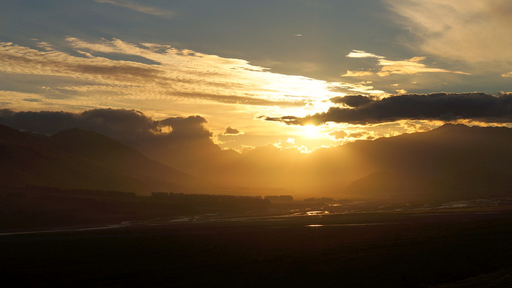
rakai sunset
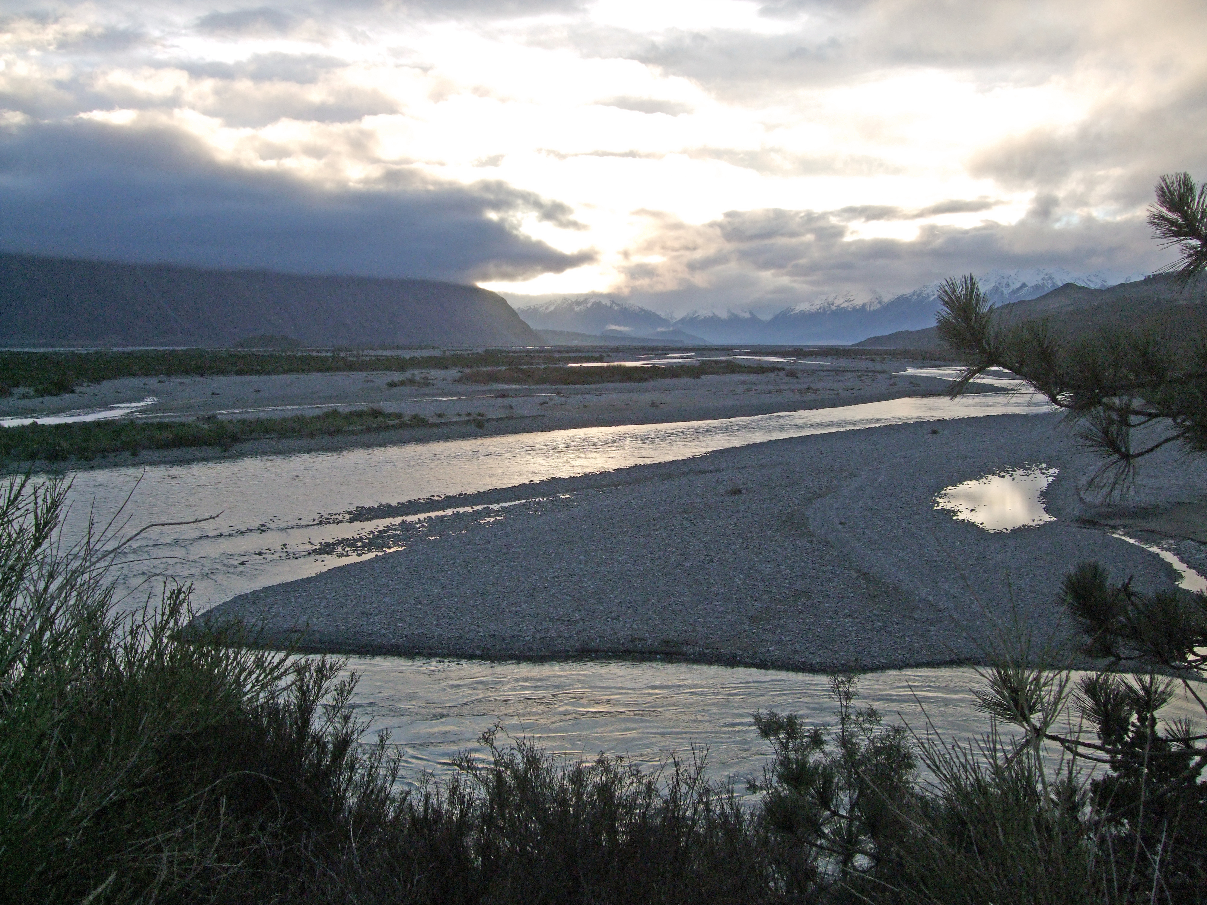
Upper Rakaia River Valley

doogan_110716_2851
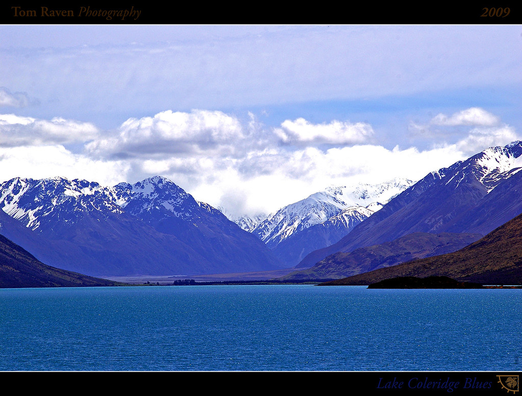
Lake Coleridge Blues

Mt Hutt view (i)

View Of The Ski Lodge At The Bottom From The Top of the Beginners' Hill While Skiing @ Mount Hutt Ski Resort, New Zealand

View from Mt Hutt

Lake Coleridge Intake Road
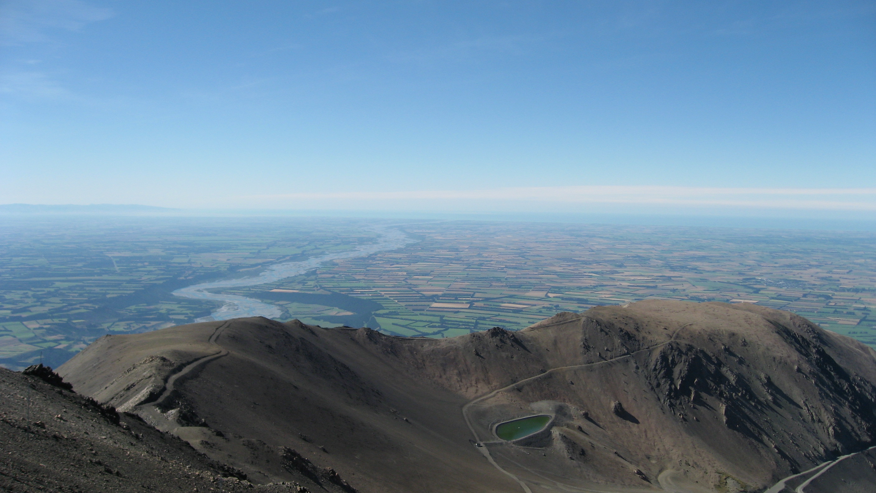
View from Mount Hutt
Blackhill Range, Canterbury, New Zealand Map
Search another place
Near Places
Mount Taylor, Canterbury, New Zealand
Lake Coleridge, New Zealand
Double Hill, New Zealand
Mount Oakden, Canterbury, New Zealand
Rolleston Range, New Zealand
Ashburton Lakes, New Zealand
Mount Williams, Canterbury, New Zealand
Mount Arrowsmith, Canterbury, New Zealand
Bonds Peak, West Coast, New Zealand
Arthur's Pass, New Zealand
Mount Sunday, Canterbury, New Zealand
Mount Whitcombe, Canterbury, New Zealand
The Warrior, Canterbury, New Zealand
Ramsay, New Zealand
Hokitika, West Coast, New Zealand
Dorothy Falls Road, Dorothy Falls Rd, Kokatahi, New Zealand
Dorothy Falls Rd, Kokatahi, New Zealand
Mantell Street, Mantell St, Kokatahi, New Zealand
Newton Peak, Canterbury, New Zealand
Kokatahi, New Zealand
Recent Searches
- Sunrise Sunset Times of Red Dog Mine, AK, USA
- Sunrise Sunset Times of Am Bahnhof, Am bhf, Borken, Germany
- Sunrise Sunset Times of 4th St E, Sonoma, CA, USA
- Sunrise Sunset Times of Oakland Ave, Williamsport, PA, USA
- Sunrise Sunset Times of Via Roma, Pieranica CR, Italy
- Sunrise Sunset Times of Clock Tower of Dubrovnik, Grad, Dubrovnik, Croatia
- Sunrise Sunset Times of Trelew, Chubut Province, Argentina
- Sunrise Sunset Times of Hartfords Bluff Cir, Mt Pleasant, SC, USA
- Sunrise Sunset Times of Kita Ward, Kumamoto, Japan
- Sunrise Sunset Times of Pingtan Island, Pingtan County, Fuzhou, China