| 時區: | 哥倫比亞標準時間 |
|---|---|
| 當地時間: | 2026年11月13日星期五 10:02 |
| 經度: | -76.5501996 |
| 緯度: | 3.6984053 |
| 今天日出時間: | 05:53:10 |
| 今天日落時間: | 17:50:34 |
| 今天日照時長: | 11h 57m 24s |
| 明天日出時間: | 05:53:24 |
| 明天日落時間: | 17:50:40 |
| 明天日照時長: | 11h 57m 16s |
: 顯示所有日期
| 日期 | 日出 | 日落 | 日照時長 |
|---|---|---|---|
| 2026年1月1日 | 06:13:07 | 18:07:45 | 11h 54m 38s |
| 2026年2月1日 | 06:22:01 | 18:19:45 | 11h 57m 43s |
| 2026年3月1日 | 06:18:55 | 18:21:32 | 12h 2m 36s |
| 2026年4月1日 | 06:07:05 | 18:15:57 | 12h 8m 51s |
| 2026年5月1日 | 05:57:15 | 18:11:59 | 12h 14m 43s |
| 2026年6月1日 | 05:55:47 | 18:14:54 | 12h 19m 7s |
| 2026年7月1日 | 06:01:02 | 18:20:58 | 12h 19m 56s |
| 2026年8月1日 | 06:05:24 | 18:22:12 | 12h 16m 48s |
| 2026年9月1日 | 06:02:26 | 18:13:41 | 12h 11m 14s |
| 2026年10月1日 | 05:54:49 | 18:00:03 | 12h 5m 13s |
| 2026年11月1日 | 05:51:19 | 17:50:45 | 11h 59m 25s |
| 2026年11月13日 | 05:52:57 | 17:50:30 | 11h 57m 33s |
| 2026年11月14日 | 05:53:10 | 17:50:34 | 11h 57m 24s |
| 2026年12月1日 | 05:58:38 | 17:54:04 | 11h 55m 25s |
日出日落照片

Sky divide by Luis FrancoR

Panorámica HDR Estadio Olímpico Pascual Guerrero, Cali-Colombia by hilcias78

Atardecer en el Valle by creyesk
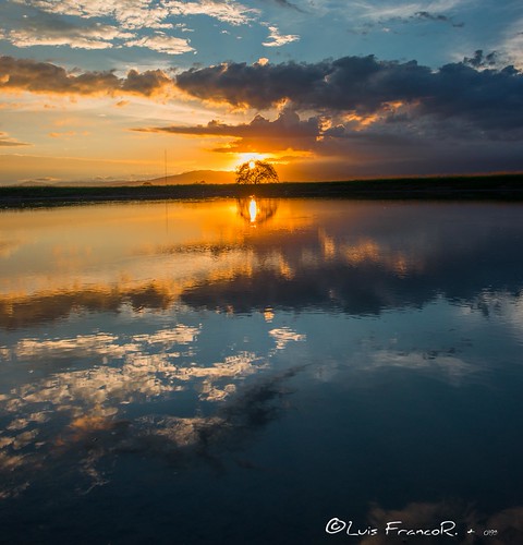
La serenidad de las aguas - the serenity of the waters by Luis FrancoR

Gran atardecer - Great sunset by Luis FrancoR

Atardecer y reflejos - Sunset and reflections-2 by Luis FrancoR

Total Calma - Calm total by Luis FrancoR

Lejano espejismo - distant mirage by Luis FrancoR
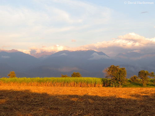
Sunset light on sugar cane fields and the central cordillera during an orchid and nature tour I guided, Valle del Cauca department, Colombia by David Haelterman NatureguideColombia

...Amanece en el Campo! by Andresw9

Rock in sunset ! by hilcias78
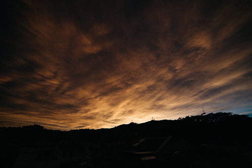
Amanecer by felipeorvi

Sunset at the Pacific by Juan C. Sánchez Photography

Mi Valle del Cauca by Duberley Garcia
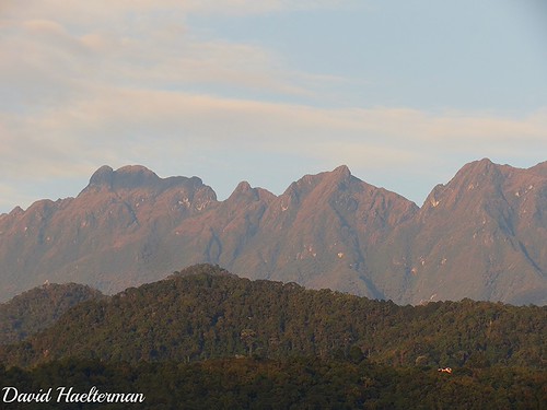
Parte del Parque nacional natural Farallones de Cali con Pico Pance, su cumbre mas alta con 4200 m de altura, al amanecer, visto desde La Buitrera, Valle del Cauca, Colombia by David Haelterman NatureguideColombia

Unique moments... Sunrise over the colombian mountains from Cerro del Inglés nature preserve, located on the eastern flank of the western mountain range, with view in the extreme background on the cen by David Haelterman NatureguideColombia

Sunset,Florida Valle, Colombia by Duberley Garcia

Buenaventura, Valle del Cauca, Colombia. by juanmateusmg

mare nubium by Pedro Pablo Orozco
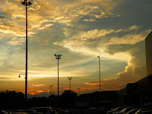
Cae el sol en Llanogrande,, viene la noche a Palmira by Jeff_506

Atardecer- Valle del cauca by !Beta

Parque nacional natural Farallones de Cali del lado oriental de la cordillera occidental (cuenca hidrografica del rio Cauca) al amanecer, visto desde La Buitrera, Valle del Cauca, Colombia by David Haelterman NatureguideColombia
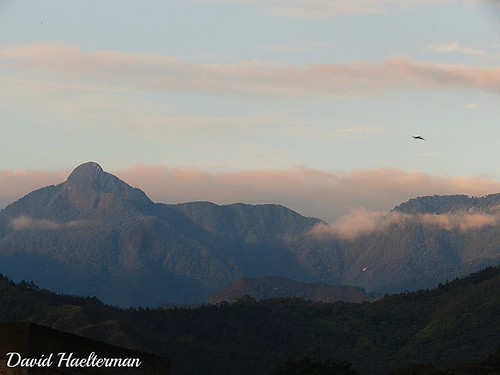
Pico Loro y una parte del Parque nacional natural Farallones de Cali al amanecer, visto desde La Buitrera, Valle del Cauca, Colombia by David Haelterman NatureguideColombia

Cali- Valle del Cauca by !Beta

Atardecer costa pacífica by Pedro Pablo Orozco
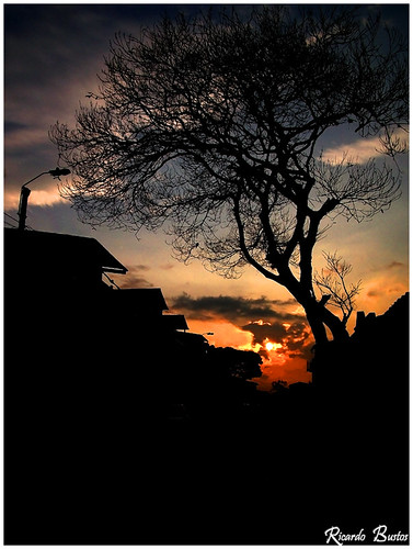
Anuncio de un nuevo día by bokehphotgraphy.com.co
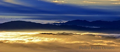
Mare nubium 2 by Pedro Pablo Orozco

Se pone el sol... mientras florecen nuestros espíritus by Jeff_506

Pico de Loro mountain in Farallones de Cali National Natural Park at sunset, Valle del Cauca department, Colombia by David Haelterman NatureguideColombia

Sunset while guiding a short botany and nature tour in Farallones de Cali region, Valle del Cauca department, Colombia. Pictures made with the cell phone. by David Haelterman NatureguideColombia

Amanecer sobre Cali y el valle del rio Cauca, con la cumbre del volcán Nevado del Huila saliendo de las nubes en la parte alta de la cordillera central, desde el departamento del Valle del Cauca, Colo by David Haelterman NatureguideColombia

Anochecer sobre la cordillera occidental en el departamento del Valle del Cauca, Colombia by David Haelterman NatureguideColombia
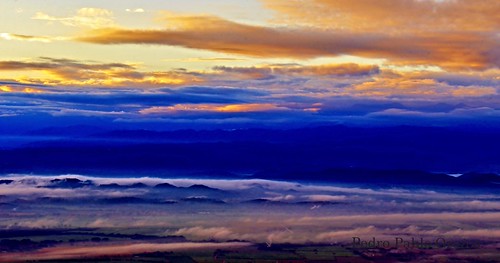
I will wake up - Me despertaré by Pedro Pablo Orozco

Ocaso montañero by HUGO GUANUMEN

Wild gold... When sunrise's light creates an overwhelming show letting us in awe in front of a blooming Stanhopea schilleriana ! What more can we ask to begin the day on a high note ? Valle del Cauca by David Haelterman NatureguideColombia
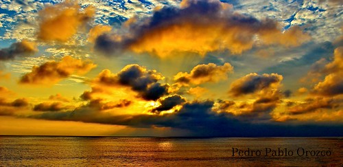
Vesperal by Pedro Pablo Orozco

Sugarmill Riopaila Castilla- Colombia by Duberley Garcia

Amanecer con la luna todavía visible sobre los acantilados altos (2887 m snm) de Peñas Blancas en el Parque Nacional Natural Farallones de Cali, departamento del Valle del Cauca, Colombia. by David Haelterman NatureguideColombia

Nubes sobre el Valle del Cauca by Pedro Pablo Orozco

Sunset at La Huerta Hotel Lago Calima Valle del Cauca Colombia by adamrainoff

Silver Leafed Princess Flower La Huerta Hotel Lago Calima Valle del Cauca Colombia by adamrainoff

When the light of the sunset that bathe the Colombian Pacific goes over the western mountain range and illuminates the Nevado del Huila Volcano, highest peak of the central mountain range (5365 m asl) by David Haelterman NatureguideColombia

Corredor - Casa Hacienda Vallecaucana - 6:41 am by CAUT

El valle de los vientos - Valley of the Winds by Pedro Pablo Orozco

Sunrise in Farallones de Cali National Park during an Expediciones Tolima BioDiversa “Nature and orchids” tour we guided with Claudia Guerra Ruiz. Valle del Cauca department, Colombia. by David Haelterman NatureguideColombia

Adiós a la luz,.. by Jeff_506

El Mont Blanc ens saluda / Mont Blanc salutes you by SBA73

... by dgorrz

El sol es pon sobre el Mont Blanc / Sunset at the Mont Blanc by SBA73
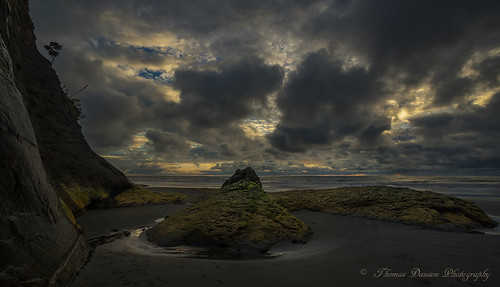
Valle del Cauca, Colombia by Thomas J Dawson

Pool La Huerta Hotel Lago Calima Valle del Cauca Colombia by adamrainoff
Picacho Tulueño bajo la lluvia by JOMAGACOL
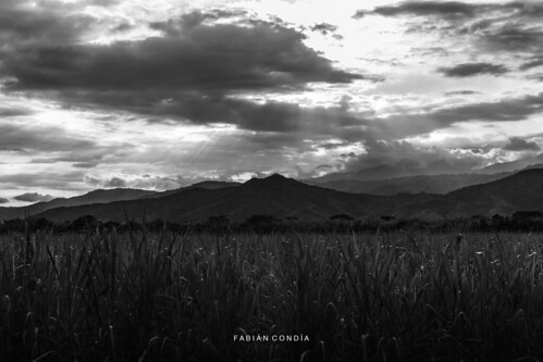
In the light by Fabián Condía

La Cueva - Valle del Cauca, Colombia by Thomas J Dawson

Recorriendo el Valle del Cauca... by JOMAGACOL

Atardecer en el Valle del Cauca by José M. Arboleda

Red-headed Barbet by adamrainoff

Lago Calima by @Engalochadox - Art Photography ☆
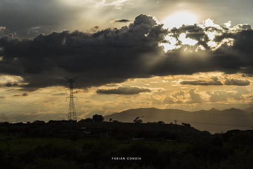
I was just a bad dream by Fabián Condía

Sunset in the cloud forest over Farallones de Cali National Natural Park, Valle del Cauca department. Magical Colombia ! by David Haelterman NatureguideColombia