| 時區: | 太平洋標準時間 |
|---|---|
| 當地時間: | 2026年11月21日星期六 21:07 |
| 經度: | -116.8157715 |
| 緯度: | 33.8665145 |
| 今天日出時間: | 06:26:37 |
| 今天日落時間: | 16:42:38 |
| 今天日照時長: | 10h 16m 0s |
| 明天日出時間: | 06:27:34 |
| 明天日落時間: | 16:42:13 |
| 明天日照時長: | 10h 14m 39s |
: 顯示所有日期
| 日期 | 日出 | 日落 | 日照時長 |
|---|---|---|---|
| 2026年1月1日 | 06:53:26 | 16:49:40 | 9h 56m 13s |
| 2026年2月1日 | 06:46:01 | 17:17:53 | 10h 31m 52s |
| 2026年3月1日 | 06:18:34 | 17:43:58 | 11h 25m 23s |
| 2026年4月1日 | 06:37:10 | 19:07:56 | 12h 30m 46s |
| 2026年5月1日 | 06:00:30 | 19:30:49 | 13h 30m 18s |
| 2026年6月1日 | 05:39:11 | 19:53:40 | 14h 14m 28s |
| 2026年7月1日 | 05:40:46 | 20:03:24 | 14h 22m 37s |
| 2026年8月1日 | 05:59:27 | 19:50:15 | 13h 50m 48s |
| 2026年9月1日 | 06:21:45 | 19:16:25 | 12h 54m 40s |
| 2026年10月1日 | 06:42:08 | 18:34:48 | 11h 52m 39s |
| 2026年11月1日 | 07:06:54 | 17:57:18 | 10h 50m 24s |
| 2026年11月22日 | 06:26:37 | 16:42:38 | 10h 16m 0s |
| 2026年11月23日 | 06:27:34 | 16:42:13 | 10h 14m 39s |
| 2026年12月1日 | 06:34:51 | 16:40:04 | 10h 5m 13s |
日出日落照片

trucks with clearing storm. cabazon, ca. 2005. by eyetwist
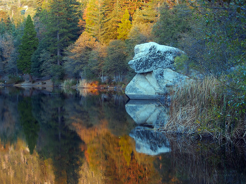
Reflecting on an autumn sunset by RobertCross1 (off and on)
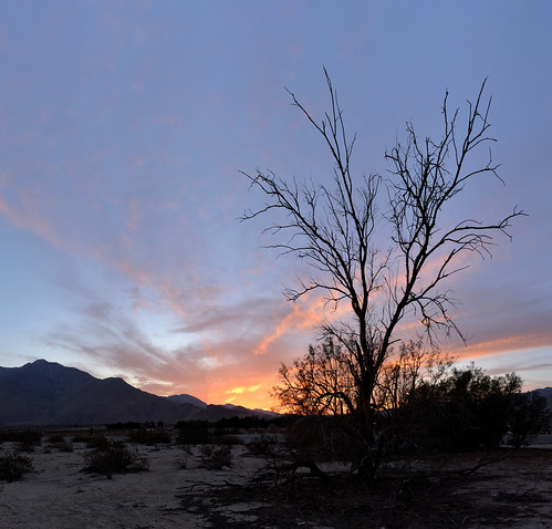
Palm Springs sunset 2014 by Gord McKenna

Palm Springs sunset 2014 by Gord McKenna

Palm Springs sunset 2014 by Gord McKenna

trucks with clearing storm. cabazon, ca. 2005. by eyetwist

Windmills Under The Storm by Dave Toussaint Photography

clearing storm. cabazon, ca. 2005. by eyetwist

Layered Power under the Sun by C. Strife
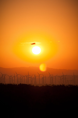
Morning Soar by C. Strife

Cabazon DPUs by delticfan

One Twisted Storm by Dave Toussaint Photography

Interstate 10 Westbound Banning Beaumont Calimesa Freeway approaches at Exit 99 - 22nd Street (Stop Sign Ahead at this Exit Off-Ramp) followed by Exit 98 - Sunset Avenue Next Right Exit 3/4 = 0.75 Mil by raymonyu

Palm Springs sunset 2014 by Gord McKenna

Interstate 10 Westbound Banning Beaumont Calimesa Freeway approaches at 98 - Sunset Avenue this right exit followed by Exit 96 - Highland Springs Avenue Next Right Exit 2 Miles Ahead with this overhea by raymonyu

Sunset in San Jacinto by Cary Rodriguez

Casino Camping in Cabazon by RoamingTogether

Interstate 10 Eastbound Banning - Beaumont - Cabazon Freeway - San Gorgonio Pass Freeway - Christopher Columbus Transcontinental Highway approaches at Exit 96 - Highland Springs Avenue (Intersection T by raymonyu

Sunset by Misshoney1

Last Climb by ajm9339

Interstate 10 Eastbound Banning - Beaumont - Cabazon Freeway - San Gorgonio Pass Freeway - Christopher Columbus Transcontinental Highway approaches at Exit 98 - Sunset Avenue followed by Exit 99 - 22n by raymonyu

Interstate 10 Eastbound Banning - Beaumont - Cabazon Freeway - San Gorgonio Pass Freeway - Christopher Columbus Transcontinental Highway approaching Exit 99 - 22nd Street Downtown Banning Keep Right N by raymonyu

Eastbound Union Pacific at Cabazon by MichaelLovesTrains

Beaumont Highland Springs Ave (3780) by DB's travels

forest at sunset 1 by Mollivan Jon

Sunset by BurstsofSingleMindedness

Towering Storm by bossco

Lonely Tree by BurstsofSingleMindedness
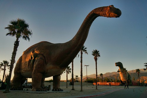
'saurs at sunset by rovingmagpie

SP 8294 east at Whitewater by aquathom

Sunset Reflections by Misshoney1

sunset dinny by rovingmagpie

Sunset from Vista Point by Misshoney1

San Jacinto Sunrise by Cary Rodriguez

Through the Leaves by 24thcentury

Sunset in San Jacinto by Cary Rodriguez
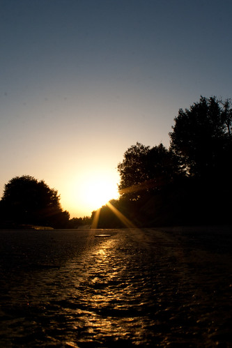
Highway Reflections by Misshoney1

Sunset View 243 by Tim Sivils

Day 160 by sammy078

199_Round-Valley-sunset by _JFR_

Daybreak @ 10.8k ft. by trevorw

Sunrise on the I-10 by bossco

202_Tamarack-Valley-sunrise by _JFR_

IMG_8351 by Marquis Lewis

IMG_8352 by Marquis Lewis
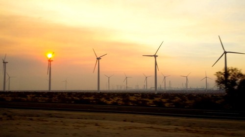
Sunrise and windmills by Bobby Bryan

IMG_1260 by lnewman333

Sunrise on Mt. San Jacinto by trevorw

Sunrise Above Banning by Bob Gurski

Sunrise skies on a windy morning. Banning CA by bossco

San Jacinto Froggy Morning by Cary Rodriguez

Sunrise from San Jacinto by Cary Rodriguez

Southern California Mountains by Tony Webster

Good Morning View by Cary Rodriguez

sunrise by _-ellie-_

7002 Sunrise view east toward the Whitewater River (center) and Snow Creek (bottom right) from PCT mile 196 by _JFR_

6843 Sunrise clouds at Strawberry Junction on the Pacific Crest Trail at mile 183 by _JFR_

IMG_1496 by Dave Storm

IMG_1527 by Dave Storm

IMG_1509 by Dave Storm