Spring Valley, KS, 美國的日出日落時間表
Location: 美國 > 堪薩斯 > 切羅基縣 >
時區:
America/Chicago
當地時間:
2025-06-06 10:49:19
經度:
-94.7898731
緯度:
37.0508633
今天日出時間:
05:59:19 AM
今天日落時間:
08:36:40 PM
今天日照時長:
14h 37m 21s
明天日出時間:
05:59:09 AM
明天日落時間:
08:37:13 PM
明天日照時長:
14h 38m 4s
顯示所有日期
| 日期 | 日出 | 日落 | 日照時長 |
|---|---|---|---|
| 2025年01月01日 | 07:32:40 AM | 05:13:57 PM | 9h 41m 17s |
| 2025年01月02日 | 07:32:46 AM | 05:14:47 PM | 9h 42m 1s |
| 2025年01月03日 | 07:32:50 AM | 05:15:37 PM | 9h 42m 47s |
| 2025年01月04日 | 07:32:52 AM | 05:16:29 PM | 9h 43m 37s |
| 2025年01月05日 | 07:32:52 AM | 05:17:21 PM | 9h 44m 29s |
| 2025年01月06日 | 07:32:49 AM | 05:18:15 PM | 9h 45m 26s |
| 2025年01月07日 | 07:32:45 AM | 05:19:10 PM | 9h 46m 25s |
| 2025年01月08日 | 07:32:39 AM | 05:20:06 PM | 9h 47m 27s |
| 2025年01月09日 | 07:32:31 AM | 05:21:03 PM | 9h 48m 32s |
| 2025年01月10日 | 07:32:20 AM | 05:22:01 PM | 9h 49m 41s |
| 2025年01月11日 | 07:32:08 AM | 05:22:59 PM | 9h 50m 51s |
| 2025年01月12日 | 07:31:54 AM | 05:23:58 PM | 9h 52m 4s |
| 2025年01月13日 | 07:31:37 AM | 05:24:58 PM | 9h 53m 21s |
| 2025年01月14日 | 07:31:19 AM | 05:25:59 PM | 9h 54m 40s |
| 2025年01月15日 | 07:30:59 AM | 05:27:00 PM | 9h 56m 1s |
| 2025年01月16日 | 07:30:36 AM | 05:28:02 PM | 9h 57m 26s |
| 2025年01月17日 | 07:30:12 AM | 05:29:04 PM | 9h 58m 52s |
| 2025年01月18日 | 07:29:46 AM | 05:30:07 PM | 10h 0m 21s |
| 2025年01月19日 | 07:29:18 AM | 05:31:11 PM | 10h 1m 53s |
| 2025年01月20日 | 07:28:48 AM | 05:32:14 PM | 10h 3m 26s |
| 2025年01月21日 | 07:28:16 AM | 05:33:18 PM | 10h 5m 2s |
| 2025年01月22日 | 07:27:42 AM | 05:34:23 PM | 10h 6m 41s |
| 2025年01月23日 | 07:27:07 AM | 05:35:27 PM | 10h 8m 20s |
| 2025年01月24日 | 07:26:30 AM | 05:36:32 PM | 10h 10m 2s |
| 2025年01月25日 | 07:25:50 AM | 05:37:37 PM | 10h 11m 47s |
| 2025年01月26日 | 07:25:10 AM | 05:38:42 PM | 10h 13m 32s |
| 2025年01月27日 | 07:24:27 AM | 05:39:48 PM | 10h 15m 21s |
| 2025年01月28日 | 07:23:43 AM | 05:40:53 PM | 10h 17m 10s |
| 2025年01月29日 | 07:22:57 AM | 05:41:58 PM | 10h 19m 1s |
| 2025年01月30日 | 07:22:09 AM | 05:43:04 PM | 10h 20m 55s |
| 2025年01月31日 | 07:21:20 AM | 05:44:09 PM | 10h 22m 49s |
| 2025年02月01日 | 07:20:29 AM | 05:45:15 PM | 10h 24m 46s |
| 2025年02月02日 | 07:19:36 AM | 05:46:20 PM | 10h 26m 44s |
| 2025年02月03日 | 07:18:42 AM | 05:47:25 PM | 10h 28m 43s |
| 2025年02月04日 | 07:17:47 AM | 05:48:30 PM | 10h 30m 43s |
| 2025年02月05日 | 07:16:50 AM | 05:49:35 PM | 10h 32m 45s |
| 2025年02月06日 | 07:15:52 AM | 05:50:40 PM | 10h 34m 48s |
| 2025年02月07日 | 07:14:52 AM | 05:51:45 PM | 10h 36m 53s |
| 2025年02月08日 | 07:13:51 AM | 05:52:49 PM | 10h 38m 58s |
| 2025年02月09日 | 07:12:48 AM | 05:53:53 PM | 10h 41m 5s |
| 2025年02月10日 | 07:11:45 AM | 05:54:57 PM | 10h 43m 12s |
| 2025年02月11日 | 07:10:39 AM | 05:56:01 PM | 10h 45m 22s |
| 2025年02月12日 | 07:09:33 AM | 05:57:04 PM | 10h 47m 31s |
| 2025年02月13日 | 07:08:26 AM | 05:58:08 PM | 10h 49m 42s |
| 2025年02月14日 | 07:07:17 AM | 05:59:10 PM | 10h 51m 53s |
| 2025年02月15日 | 07:06:07 AM | 06:00:13 PM | 10h 54m 6s |
| 2025年02月16日 | 07:04:56 AM | 06:01:15 PM | 10h 56m 19s |
| 2025年02月17日 | 07:03:44 AM | 06:02:17 PM | 10h 58m 33s |
| 2025年02月18日 | 07:02:31 AM | 06:03:19 PM | 11h 0m 48s |
| 2025年02月19日 | 07:01:17 AM | 06:04:20 PM | 11h 3m 3s |
| 2025年02月20日 | 07:00:02 AM | 06:05:21 PM | 11h 5m 19s |
| 2025年02月21日 | 06:58:46 AM | 06:06:22 PM | 11h 7m 36s |
| 2025年02月22日 | 06:57:29 AM | 06:07:23 PM | 11h 9m 54s |
| 2025年02月23日 | 06:56:12 AM | 06:08:23 PM | 11h 12m 11s |
| 2025年02月24日 | 06:54:53 AM | 06:09:22 PM | 11h 14m 29s |
| 2025年02月25日 | 06:53:34 AM | 06:10:22 PM | 11h 16m 48s |
| 2025年02月26日 | 06:52:13 AM | 06:11:21 PM | 11h 19m 8s |
| 2025年02月27日 | 06:50:52 AM | 06:12:20 PM | 11h 21m 28s |
| 2025年02月28日 | 06:49:31 AM | 06:13:18 PM | 11h 23m 47s |
| 2025年03月01日 | 06:48:08 AM | 06:14:16 PM | 11h 26m 8s |
| 2025年03月02日 | 06:46:45 AM | 06:15:14 PM | 11h 28m 29s |
| 2025年03月03日 | 06:45:22 AM | 06:16:12 PM | 11h 30m 50s |
| 2025年03月04日 | 06:43:58 AM | 06:17:09 PM | 11h 33m 11s |
| 2025年03月05日 | 06:42:33 AM | 06:18:06 PM | 11h 35m 33s |
| 2025年03月06日 | 06:41:08 AM | 06:19:03 PM | 11h 37m 55s |
| 2025年03月07日 | 06:39:42 AM | 06:19:59 PM | 11h 40m 17s |
| 2025年03月08日 | 06:38:16 AM | 06:20:55 PM | 11h 42m 39s |
| 2025年03月09日 | 07:36:53 AM | 07:21:49 PM | 11h 44m 56s |
| 2025年03月10日 | 07:35:26 AM | 07:22:45 PM | 11h 47m 19s |
| 2025年03月11日 | 07:33:58 AM | 07:23:40 PM | 11h 49m 42s |
| 2025年03月12日 | 07:32:30 AM | 07:24:35 PM | 11h 52m 5s |
| 2025年03月13日 | 07:31:02 AM | 07:25:30 PM | 11h 54m 28s |
| 2025年03月14日 | 07:29:34 AM | 07:26:25 PM | 11h 56m 51s |
| 2025年03月15日 | 07:28:05 AM | 07:27:20 PM | 11h 59m 15s |
| 2025年03月16日 | 07:26:36 AM | 07:28:14 PM | 12h 1m 38s |
| 2025年03月17日 | 07:25:07 AM | 07:29:08 PM | 12h 4m 1s |
| 2025年03月18日 | 07:23:38 AM | 07:30:02 PM | 12h 6m 24s |
| 2025年03月19日 | 07:22:09 AM | 07:30:56 PM | 12h 8m 47s |
| 2025年03月20日 | 07:20:40 AM | 07:31:50 PM | 12h 11m 10s |
| 2025年03月21日 | 07:19:10 AM | 07:32:44 PM | 12h 13m 34s |
| 2025年03月22日 | 07:17:41 AM | 07:33:37 PM | 12h 15m 56s |
| 2025年03月23日 | 07:16:11 AM | 07:34:31 PM | 12h 18m 20s |
| 2025年03月24日 | 07:14:42 AM | 07:35:24 PM | 12h 20m 42s |
| 2025年03月25日 | 07:13:12 AM | 07:36:17 PM | 12h 23m 5s |
| 2025年03月26日 | 07:11:43 AM | 07:37:10 PM | 12h 25m 27s |
| 2025年03月27日 | 07:10:14 AM | 07:38:03 PM | 12h 27m 49s |
| 2025年03月28日 | 07:08:44 AM | 07:38:56 PM | 12h 30m 12s |
| 2025年03月29日 | 07:07:16 AM | 07:39:49 PM | 12h 32m 33s |
| 2025年03月30日 | 07:05:47 AM | 07:40:42 PM | 12h 34m 55s |
| 2025年03月31日 | 07:04:18 AM | 07:41:35 PM | 12h 37m 17s |
| 2025年04月01日 | 07:02:50 AM | 07:42:28 PM | 12h 39m 38s |
| 2025年04月02日 | 07:01:22 AM | 07:43:21 PM | 12h 41m 59s |
| 2025年04月03日 | 06:59:54 AM | 07:44:14 PM | 12h 44m 20s |
| 2025年04月04日 | 06:58:27 AM | 07:45:07 PM | 12h 46m 40s |
| 2025年04月05日 | 06:57:00 AM | 07:45:59 PM | 12h 48m 59s |
| 2025年04月06日 | 06:55:34 AM | 07:46:52 PM | 12h 51m 18s |
| 2025年04月07日 | 06:54:08 AM | 07:47:45 PM | 12h 53m 37s |
| 2025年04月08日 | 06:52:42 AM | 07:48:38 PM | 12h 55m 56s |
| 2025年04月09日 | 06:51:17 AM | 07:49:31 PM | 12h 58m 14s |
| 2025年04月10日 | 06:49:52 AM | 07:50:24 PM | 13h 0m 32s |
| 2025年04月11日 | 06:48:28 AM | 07:51:17 PM | 13h 2m 49s |
| 2025年04月12日 | 06:47:05 AM | 07:52:10 PM | 13h 5m 5s |
| 2025年04月13日 | 06:45:42 AM | 07:53:03 PM | 13h 7m 21s |
| 2025年04月14日 | 06:44:20 AM | 07:53:57 PM | 13h 9m 37s |
| 2025年04月15日 | 06:42:58 AM | 07:54:50 PM | 13h 11m 52s |
| 2025年04月16日 | 06:41:37 AM | 07:55:43 PM | 13h 14m 6s |
| 2025年04月17日 | 06:40:17 AM | 07:56:36 PM | 13h 16m 19s |
| 2025年04月18日 | 06:38:58 AM | 07:57:30 PM | 13h 18m 32s |
| 2025年04月19日 | 06:37:39 AM | 07:58:23 PM | 13h 20m 44s |
| 2025年04月20日 | 06:36:22 AM | 07:59:17 PM | 13h 22m 55s |
| 2025年04月21日 | 06:35:05 AM | 08:00:10 PM | 13h 25m 5s |
| 2025年04月22日 | 06:33:49 AM | 08:01:04 PM | 13h 27m 15s |
| 2025年04月23日 | 06:32:34 AM | 08:01:57 PM | 13h 29m 23s |
| 2025年04月24日 | 06:31:19 AM | 08:02:51 PM | 13h 31m 32s |
| 2025年04月25日 | 06:30:06 AM | 08:03:44 PM | 13h 33m 38s |
| 2025年04月26日 | 06:28:54 AM | 08:04:38 PM | 13h 35m 44s |
| 2025年04月27日 | 06:27:43 AM | 08:05:31 PM | 13h 37m 48s |
| 2025年04月28日 | 06:26:33 AM | 08:06:25 PM | 13h 39m 52s |
| 2025年04月29日 | 06:25:24 AM | 08:07:18 PM | 13h 41m 54s |
| 2025年04月30日 | 06:24:16 AM | 08:08:12 PM | 13h 43m 56s |
| 2025年05月01日 | 06:23:09 AM | 08:09:05 PM | 13h 45m 56s |
| 2025年05月02日 | 06:22:04 AM | 08:09:58 PM | 13h 47m 54s |
| 2025年05月03日 | 06:20:59 AM | 08:10:51 PM | 13h 49m 52s |
| 2025年05月04日 | 06:19:56 AM | 08:11:45 PM | 13h 51m 49s |
| 2025年05月05日 | 06:18:54 AM | 08:12:38 PM | 13h 53m 44s |
| 2025年05月06日 | 06:17:54 AM | 08:13:30 PM | 13h 55m 36s |
| 2025年05月07日 | 06:16:54 AM | 08:14:23 PM | 13h 57m 29s |
| 2025年05月08日 | 06:15:56 AM | 08:15:15 PM | 13h 59m 19s |
| 2025年05月09日 | 06:15:00 AM | 08:16:08 PM | 14h 1m 8s |
| 2025年05月10日 | 06:14:05 AM | 08:17:00 PM | 14h 2m 55s |
| 2025年05月11日 | 06:13:11 AM | 08:17:51 PM | 14h 4m 40s |
| 2025年05月12日 | 06:12:18 AM | 08:18:43 PM | 14h 6m 25s |
| 2025年05月13日 | 06:11:27 AM | 08:19:34 PM | 14h 8m 7s |
| 2025年05月14日 | 06:10:38 AM | 08:20:24 PM | 14h 9m 46s |
| 2025年05月15日 | 06:09:50 AM | 08:21:15 PM | 14h 11m 25s |
| 2025年05月16日 | 06:09:04 AM | 08:22:05 PM | 14h 13m 1s |
| 2025年05月17日 | 06:08:19 AM | 08:22:54 PM | 14h 14m 35s |
| 2025年05月18日 | 06:07:36 AM | 08:23:43 PM | 14h 16m 7s |
| 2025年05月19日 | 06:06:54 AM | 08:24:32 PM | 14h 17m 38s |
| 2025年05月20日 | 06:06:14 AM | 08:25:20 PM | 14h 19m 6s |
| 2025年05月21日 | 06:05:35 AM | 08:26:07 PM | 14h 20m 32s |
| 2025年05月22日 | 06:04:59 AM | 08:26:54 PM | 14h 21m 55s |
| 2025年05月23日 | 06:04:24 AM | 08:27:40 PM | 14h 23m 16s |
| 2025年05月24日 | 06:03:50 AM | 08:28:26 PM | 14h 24m 36s |
| 2025年05月25日 | 06:03:18 AM | 08:29:10 PM | 14h 25m 52s |
| 2025年05月26日 | 06:02:48 AM | 08:29:54 PM | 14h 27m 6s |
| 2025年05月27日 | 06:02:20 AM | 08:30:38 PM | 14h 28m 18s |
| 2025年05月28日 | 06:01:53 AM | 08:31:20 PM | 14h 29m 27s |
| 2025年05月29日 | 06:01:29 AM | 08:32:01 PM | 14h 30m 32s |
| 2025年05月30日 | 06:01:05 AM | 08:32:42 PM | 14h 31m 37s |
| 2025年05月31日 | 06:00:44 AM | 08:33:22 PM | 14h 32m 38s |
| 2025年06月01日 | 06:00:25 AM | 08:34:00 PM | 14h 33m 35s |
| 2025年06月02日 | 06:00:07 AM | 08:34:38 PM | 14h 34m 31s |
| 2025年06月03日 | 05:59:51 AM | 08:35:15 PM | 14h 35m 24s |
| 2025年06月04日 | 05:59:36 AM | 08:35:50 PM | 14h 36m 14s |
| 2025年06月05日 | 05:59:24 AM | 08:36:25 PM | 14h 37m 1s |
| 2025年06月06日 | 05:59:13 AM | 08:36:58 PM | 14h 37m 45s |
| 2025年06月07日 | 05:59:04 AM | 08:37:30 PM | 14h 38m 26s |
| 2025年06月08日 | 05:58:57 AM | 08:38:01 PM | 14h 39m 4s |
| 2025年06月09日 | 05:58:51 AM | 08:38:30 PM | 14h 39m 39s |
| 2025年06月10日 | 05:58:47 AM | 08:38:58 PM | 14h 40m 11s |
| 2025年06月11日 | 05:58:45 AM | 08:39:25 PM | 14h 40m 40s |
| 2025年06月12日 | 05:58:45 AM | 08:39:50 PM | 14h 41m 5s |
| 2025年06月13日 | 05:58:46 AM | 08:40:14 PM | 14h 41m 28s |
| 2025年06月14日 | 05:58:49 AM | 08:40:37 PM | 14h 41m 48s |
| 2025年06月15日 | 05:58:54 AM | 08:40:58 PM | 14h 42m 4s |
| 2025年06月16日 | 05:59:01 AM | 08:41:18 PM | 14h 42m 17s |
| 2025年06月17日 | 05:59:09 AM | 08:41:36 PM | 14h 42m 27s |
| 2025年06月18日 | 05:59:18 AM | 08:41:52 PM | 14h 42m 34s |
| 2025年06月19日 | 05:59:30 AM | 08:42:07 PM | 14h 42m 37s |
| 2025年06月20日 | 05:59:43 AM | 08:42:20 PM | 14h 42m 37s |
| 2025年06月21日 | 05:59:57 AM | 08:42:32 PM | 14h 42m 35s |
| 2025年06月22日 | 06:00:13 AM | 08:42:42 PM | 14h 42m 29s |
| 2025年06月23日 | 06:00:30 AM | 08:42:50 PM | 14h 42m 20s |
| 2025年06月24日 | 06:00:49 AM | 08:42:57 PM | 14h 42m 8s |
| 2025年06月25日 | 06:01:10 AM | 08:43:02 PM | 14h 41m 52s |
| 2025年06月26日 | 06:01:31 AM | 08:43:05 PM | 14h 41m 34s |
| 2025年06月27日 | 06:01:55 AM | 08:43:06 PM | 14h 41m 11s |
| 2025年06月28日 | 06:02:19 AM | 08:43:06 PM | 14h 40m 47s |
| 2025年06月29日 | 06:02:45 AM | 08:43:04 PM | 14h 40m 19s |
| 2025年06月30日 | 06:03:12 AM | 08:43:00 PM | 14h 39m 48s |
| 2025年07月01日 | 06:03:40 AM | 08:42:54 PM | 14h 39m 14s |
| 2025年07月02日 | 06:04:10 AM | 08:42:47 PM | 14h 38m 37s |
| 2025年07月03日 | 06:04:41 AM | 08:42:37 PM | 14h 37m 56s |
| 2025年07月04日 | 06:05:13 AM | 08:42:26 PM | 14h 37m 13s |
| 2025年07月05日 | 06:05:46 AM | 08:42:13 PM | 14h 36m 27s |
| 2025年07月06日 | 06:06:20 AM | 08:41:59 PM | 14h 35m 39s |
| 2025年07月07日 | 06:06:55 AM | 08:41:42 PM | 14h 34m 47s |
| 2025年07月08日 | 06:07:31 AM | 08:41:24 PM | 14h 33m 53s |
| 2025年07月09日 | 06:08:08 AM | 08:41:04 PM | 14h 32m 56s |
| 2025年07月10日 | 06:08:46 AM | 08:40:42 PM | 14h 31m 56s |
| 2025年07月11日 | 06:09:25 AM | 08:40:18 PM | 14h 30m 53s |
| 2025年07月12日 | 06:10:05 AM | 08:39:53 PM | 14h 29m 48s |
| 2025年07月13日 | 06:10:45 AM | 08:39:25 PM | 14h 28m 40s |
| 2025年07月14日 | 06:11:26 AM | 08:38:56 PM | 14h 27m 30s |
| 2025年07月15日 | 06:12:08 AM | 08:38:26 PM | 14h 26m 18s |
| 2025年07月16日 | 06:12:51 AM | 08:37:53 PM | 14h 25m 2s |
| 2025年07月17日 | 06:13:34 AM | 08:37:19 PM | 14h 23m 45s |
| 2025年07月18日 | 06:14:18 AM | 08:36:43 PM | 14h 22m 25s |
| 2025年07月19日 | 06:15:03 AM | 08:36:05 PM | 14h 21m 2s |
| 2025年07月20日 | 06:15:48 AM | 08:35:26 PM | 14h 19m 38s |
| 2025年07月21日 | 06:16:34 AM | 08:34:45 PM | 14h 18m 11s |
| 2025年07月22日 | 06:17:20 AM | 08:34:02 PM | 14h 16m 42s |
| 2025年07月23日 | 06:18:06 AM | 08:33:18 PM | 14h 15m 12s |
| 2025年07月24日 | 06:18:53 AM | 08:32:32 PM | 14h 13m 39s |
| 2025年07月25日 | 06:19:40 AM | 08:31:45 PM | 14h 12m 5s |
| 2025年07月26日 | 06:20:28 AM | 08:30:56 PM | 14h 10m 28s |
| 2025年07月27日 | 06:21:16 AM | 08:30:06 PM | 14h 8m 50s |
| 2025年07月28日 | 06:22:04 AM | 08:29:14 PM | 14h 7m 10s |
| 2025年07月29日 | 06:22:53 AM | 08:28:20 PM | 14h 5m 27s |
| 2025年07月30日 | 06:23:42 AM | 08:27:25 PM | 14h 3m 43s |
| 2025年07月31日 | 06:24:31 AM | 08:26:29 PM | 14h 1m 58s |
| 2025年08月01日 | 06:25:20 AM | 08:25:31 PM | 14h 0m 11s |
| 2025年08月02日 | 06:26:09 AM | 08:24:32 PM | 13h 58m 23s |
| 2025年08月03日 | 06:26:59 AM | 08:23:32 PM | 13h 56m 33s |
| 2025年08月04日 | 06:27:49 AM | 08:22:30 PM | 13h 54m 41s |
| 2025年08月05日 | 06:28:38 AM | 08:21:27 PM | 13h 52m 49s |
| 2025年08月06日 | 06:29:28 AM | 08:20:22 PM | 13h 50m 54s |
| 2025年08月07日 | 06:30:18 AM | 08:19:17 PM | 13h 48m 59s |
| 2025年08月08日 | 06:31:08 AM | 08:18:10 PM | 13h 47m 2s |
| 2025年08月09日 | 06:31:58 AM | 08:17:02 PM | 13h 45m 4s |
| 2025年08月10日 | 06:32:48 AM | 08:15:53 PM | 13h 43m 5s |
| 2025年08月11日 | 06:33:38 AM | 08:14:42 PM | 13h 41m 4s |
| 2025年08月12日 | 06:34:28 AM | 08:13:31 PM | 13h 39m 3s |
| 2025年08月13日 | 06:35:18 AM | 08:12:18 PM | 13h 37m 0s |
| 2025年08月14日 | 06:36:08 AM | 08:11:05 PM | 13h 34m 57s |
| 2025年08月15日 | 06:36:58 AM | 08:09:50 PM | 13h 32m 52s |
| 2025年08月16日 | 06:37:48 AM | 08:08:35 PM | 13h 30m 47s |
| 2025年08月17日 | 06:38:38 AM | 08:07:18 PM | 13h 28m 40s |
| 2025年08月18日 | 06:39:28 AM | 08:06:01 PM | 13h 26m 33s |
| 2025年08月19日 | 06:40:17 AM | 08:04:42 PM | 13h 24m 25s |
| 2025年08月20日 | 06:41:07 AM | 08:03:23 PM | 13h 22m 16s |
| 2025年08月21日 | 06:41:57 AM | 08:02:03 PM | 13h 20m 6s |
| 2025年08月22日 | 06:42:46 AM | 08:00:42 PM | 13h 17m 56s |
| 2025年08月23日 | 06:43:35 AM | 07:59:20 PM | 13h 15m 45s |
| 2025年08月24日 | 06:44:25 AM | 07:57:58 PM | 13h 13m 33s |
| 2025年08月25日 | 06:45:14 AM | 07:56:35 PM | 13h 11m 21s |
| 2025年08月26日 | 06:46:03 AM | 07:55:11 PM | 13h 9m 8s |
| 2025年08月27日 | 06:46:52 AM | 07:53:46 PM | 13h 6m 54s |
| 2025年08月28日 | 06:47:41 AM | 07:52:21 PM | 13h 4m 40s |
| 2025年08月29日 | 06:48:30 AM | 07:50:55 PM | 13h 2m 25s |
| 2025年08月30日 | 06:49:19 AM | 07:49:29 PM | 13h 0m 10s |
| 2025年08月31日 | 06:50:08 AM | 07:48:02 PM | 12h 57m 54s |
| 2025年09月01日 | 06:50:57 AM | 07:46:35 PM | 12h 55m 38s |
| 2025年09月02日 | 06:51:46 AM | 07:45:07 PM | 12h 53m 21s |
| 2025年09月03日 | 06:52:34 AM | 07:43:39 PM | 12h 51m 5s |
| 2025年09月04日 | 06:53:23 AM | 07:42:10 PM | 12h 48m 47s |
| 2025年09月05日 | 06:54:11 AM | 07:40:41 PM | 12h 46m 30s |
| 2025年09月06日 | 06:55:00 AM | 07:39:11 PM | 12h 44m 11s |
| 2025年09月07日 | 06:55:49 AM | 07:37:41 PM | 12h 41m 52s |
| 2025年09月08日 | 06:56:37 AM | 07:36:11 PM | 12h 39m 34s |
| 2025年09月09日 | 06:57:26 AM | 07:34:41 PM | 12h 37m 15s |
| 2025年09月10日 | 06:58:14 AM | 07:33:10 PM | 12h 34m 56s |
| 2025年09月11日 | 06:59:03 AM | 07:31:39 PM | 12h 32m 36s |
| 2025年09月12日 | 06:59:51 AM | 07:30:08 PM | 12h 30m 17s |
| 2025年09月13日 | 07:00:40 AM | 07:28:36 PM | 12h 27m 56s |
| 2025年09月14日 | 07:01:29 AM | 07:27:05 PM | 12h 25m 36s |
| 2025年09月15日 | 07:02:17 AM | 07:25:33 PM | 12h 23m 16s |
| 2025年09月16日 | 07:03:06 AM | 07:24:02 PM | 12h 20m 56s |
| 2025年09月17日 | 07:03:55 AM | 07:22:30 PM | 12h 18m 35s |
| 2025年09月18日 | 07:04:44 AM | 07:20:58 PM | 12h 16m 14s |
| 2025年09月19日 | 07:05:33 AM | 07:19:26 PM | 12h 13m 53s |
| 2025年09月20日 | 07:06:22 AM | 07:17:55 PM | 12h 11m 33s |
| 2025年09月21日 | 07:07:11 AM | 07:16:23 PM | 12h 9m 12s |
| 2025年09月22日 | 07:08:01 AM | 07:14:51 PM | 12h 6m 50s |
| 2025年09月23日 | 07:08:50 AM | 07:13:20 PM | 12h 4m 30s |
| 2025年09月24日 | 07:09:40 AM | 07:11:49 PM | 12h 2m 9s |
| 2025年09月25日 | 07:10:30 AM | 07:10:17 PM | 11h 59m 47s |
| 2025年09月26日 | 07:11:20 AM | 07:08:47 PM | 11h 57m 27s |
| 2025年09月27日 | 07:12:10 AM | 07:07:16 PM | 11h 55m 6s |
| 2025年09月28日 | 07:13:01 AM | 07:05:45 PM | 11h 52m 44s |
| 2025年09月29日 | 07:13:52 AM | 07:04:15 PM | 11h 50m 23s |
| 2025年09月30日 | 07:14:43 AM | 07:02:46 PM | 11h 48m 3s |
| 2025年10月01日 | 07:15:34 AM | 07:01:16 PM | 11h 45m 42s |
| 2025年10月02日 | 07:16:25 AM | 06:59:47 PM | 11h 43m 22s |
| 2025年10月03日 | 07:17:17 AM | 06:58:18 PM | 11h 41m 1s |
| 2025年10月04日 | 07:18:09 AM | 06:56:50 PM | 11h 38m 41s |
| 2025年10月05日 | 07:19:01 AM | 06:55:23 PM | 11h 36m 22s |
| 2025年10月06日 | 07:19:54 AM | 06:53:55 PM | 11h 34m 1s |
| 2025年10月07日 | 07:20:46 AM | 06:52:29 PM | 11h 31m 43s |
| 2025年10月08日 | 07:21:40 AM | 06:51:03 PM | 11h 29m 23s |
| 2025年10月09日 | 07:22:33 AM | 06:49:37 PM | 11h 27m 4s |
| 2025年10月10日 | 07:23:27 AM | 06:48:12 PM | 11h 24m 45s |
| 2025年10月11日 | 07:24:21 AM | 06:46:48 PM | 11h 22m 27s |
| 2025年10月12日 | 07:25:15 AM | 06:45:25 PM | 11h 20m 10s |
| 2025年10月13日 | 07:26:10 AM | 06:44:02 PM | 11h 17m 52s |
| 2025年10月14日 | 07:27:05 AM | 06:42:40 PM | 11h 15m 35s |
| 2025年10月15日 | 07:28:01 AM | 06:41:19 PM | 11h 13m 18s |
| 2025年10月16日 | 07:28:56 AM | 06:39:58 PM | 11h 11m 2s |
| 2025年10月17日 | 07:29:52 AM | 06:38:39 PM | 11h 8m 47s |
| 2025年10月18日 | 07:30:49 AM | 06:37:20 PM | 11h 6m 31s |
| 2025年10月19日 | 07:31:46 AM | 06:36:02 PM | 11h 4m 16s |
| 2025年10月20日 | 07:32:43 AM | 06:34:46 PM | 11h 2m 3s |
| 2025年10月21日 | 07:33:40 AM | 06:33:30 PM | 10h 59m 50s |
| 2025年10月22日 | 07:34:38 AM | 06:32:15 PM | 10h 57m 37s |
| 2025年10月23日 | 07:35:37 AM | 06:31:01 PM | 10h 55m 24s |
| 2025年10月24日 | 07:36:35 AM | 06:29:49 PM | 10h 53m 14s |
| 2025年10月25日 | 07:37:34 AM | 06:28:37 PM | 10h 51m 3s |
| 2025年10月26日 | 07:38:33 AM | 06:27:27 PM | 10h 48m 54s |
| 2025年10月27日 | 07:39:33 AM | 06:26:18 PM | 10h 46m 45s |
| 2025年10月28日 | 07:40:33 AM | 06:25:10 PM | 10h 44m 37s |
| 2025年10月29日 | 07:41:33 AM | 06:24:03 PM | 10h 42m 30s |
| 2025年10月30日 | 07:42:33 AM | 06:22:58 PM | 10h 40m 25s |
| 2025年10月31日 | 07:43:34 AM | 06:21:53 PM | 10h 38m 19s |
| 2025年11月01日 | 07:44:35 AM | 06:20:51 PM | 10h 36m 16s |
| 2025年11月02日 | 06:45:38 AM | 05:19:47 PM | 10h 34m 9s |
| 2025年11月03日 | 06:46:40 AM | 05:18:47 PM | 10h 32m 7s |
| 2025年11月04日 | 06:47:42 AM | 05:17:48 PM | 10h 30m 6s |
| 2025年11月05日 | 06:48:43 AM | 05:16:51 PM | 10h 28m 8s |
| 2025年11月06日 | 06:49:45 AM | 05:15:56 PM | 10h 26m 11s |
| 2025年11月07日 | 06:50:47 AM | 05:15:02 PM | 10h 24m 15s |
| 2025年11月08日 | 06:51:50 AM | 05:14:09 PM | 10h 22m 19s |
| 2025年11月09日 | 06:52:52 AM | 05:13:19 PM | 10h 20m 27s |
| 2025年11月10日 | 06:53:54 AM | 05:12:29 PM | 10h 18m 35s |
| 2025年11月11日 | 06:54:57 AM | 05:11:42 PM | 10h 16m 45s |
| 2025年11月12日 | 06:55:59 AM | 05:10:56 PM | 10h 14m 57s |
| 2025年11月13日 | 06:57:02 AM | 05:10:12 PM | 10h 13m 10s |
| 2025年11月14日 | 06:58:04 AM | 05:09:30 PM | 10h 11m 26s |
| 2025年11月15日 | 06:59:06 AM | 05:08:49 PM | 10h 9m 43s |
| 2025年11月16日 | 07:00:09 AM | 05:08:10 PM | 10h 8m 1s |
| 2025年11月17日 | 07:01:11 AM | 05:07:34 PM | 10h 6m 23s |
| 2025年11月18日 | 07:02:12 AM | 05:06:58 PM | 10h 4m 46s |
| 2025年11月19日 | 07:03:14 AM | 05:06:25 PM | 10h 3m 11s |
| 2025年11月20日 | 07:04:15 AM | 05:05:54 PM | 10h 1m 39s |
| 2025年11月21日 | 07:05:16 AM | 05:05:25 PM | 10h 0m 9s |
| 2025年11月22日 | 07:06:17 AM | 05:04:57 PM | 9h 58m 40s |
| 2025年11月23日 | 07:07:17 AM | 05:04:32 PM | 9h 57m 15s |
| 2025年11月24日 | 07:08:17 AM | 05:04:08 PM | 9h 55m 51s |
| 2025年11月25日 | 07:09:16 AM | 05:03:47 PM | 9h 54m 31s |
| 2025年11月26日 | 07:10:15 AM | 05:03:27 PM | 9h 53m 12s |
| 2025年11月27日 | 07:11:13 AM | 05:03:10 PM | 9h 51m 57s |
| 2025年11月28日 | 07:12:10 AM | 05:02:54 PM | 9h 50m 44s |
| 2025年11月29日 | 07:13:07 AM | 05:02:41 PM | 9h 49m 34s |
| 2025年11月30日 | 07:14:03 AM | 05:02:29 PM | 9h 48m 26s |
| 2025年12月01日 | 07:14:58 AM | 05:02:20 PM | 9h 47m 22s |
| 2025年12月02日 | 07:15:52 AM | 05:02:13 PM | 9h 46m 21s |
| 2025年12月03日 | 07:16:46 AM | 05:02:08 PM | 9h 45m 22s |
| 2025年12月04日 | 07:17:38 AM | 05:02:05 PM | 9h 44m 27s |
| 2025年12月05日 | 07:18:30 AM | 05:02:04 PM | 9h 43m 34s |
| 2025年12月06日 | 07:19:20 AM | 05:02:05 PM | 9h 42m 45s |
| 2025年12月07日 | 07:20:10 AM | 05:02:08 PM | 9h 41m 58s |
| 2025年12月08日 | 07:20:58 AM | 05:02:13 PM | 9h 41m 15s |
| 2025年12月09日 | 07:21:45 AM | 05:02:20 PM | 9h 40m 35s |
| 2025年12月10日 | 07:22:31 AM | 05:02:30 PM | 9h 39m 59s |
| 2025年12月11日 | 07:23:15 AM | 05:02:41 PM | 9h 39m 26s |
| 2025年12月12日 | 07:23:58 AM | 05:02:54 PM | 9h 38m 56s |
| 2025年12月13日 | 07:24:40 AM | 05:03:10 PM | 9h 38m 30s |
| 2025年12月14日 | 07:25:21 AM | 05:03:27 PM | 9h 38m 6s |
| 2025年12月15日 | 07:25:59 AM | 05:03:46 PM | 9h 37m 47s |
| 2025年12月16日 | 07:26:37 AM | 05:04:08 PM | 9h 37m 31s |
| 2025年12月17日 | 07:27:13 AM | 05:04:31 PM | 9h 37m 18s |
| 2025年12月18日 | 07:27:47 AM | 05:04:56 PM | 9h 37m 9s |
| 2025年12月19日 | 07:28:19 AM | 05:05:23 PM | 9h 37m 4s |
| 2025年12月20日 | 07:28:50 AM | 05:05:51 PM | 9h 37m 1s |
| 2025年12月21日 | 07:29:19 AM | 05:06:22 PM | 9h 37m 3s |
| 2025年12月22日 | 07:29:47 AM | 05:06:54 PM | 9h 37m 7s |
| 2025年12月23日 | 07:30:12 AM | 05:07:28 PM | 9h 37m 16s |
| 2025年12月24日 | 07:30:36 AM | 05:08:04 PM | 9h 37m 28s |
| 2025年12月25日 | 07:30:58 AM | 05:08:41 PM | 9h 37m 43s |
| 2025年12月26日 | 07:31:18 AM | 05:09:20 PM | 9h 38m 2s |
| 2025年12月27日 | 07:31:36 AM | 05:10:01 PM | 9h 38m 25s |
| 2025年12月28日 | 07:31:53 AM | 05:10:43 PM | 9h 38m 50s |
| 2025年12月29日 | 07:32:07 AM | 05:11:26 PM | 9h 39m 19s |
| 2025年12月30日 | 07:32:19 AM | 05:12:11 PM | 9h 39m 52s |
| 2025年12月31日 | 07:32:30 AM | 05:12:58 PM | 9h 40m 28s |
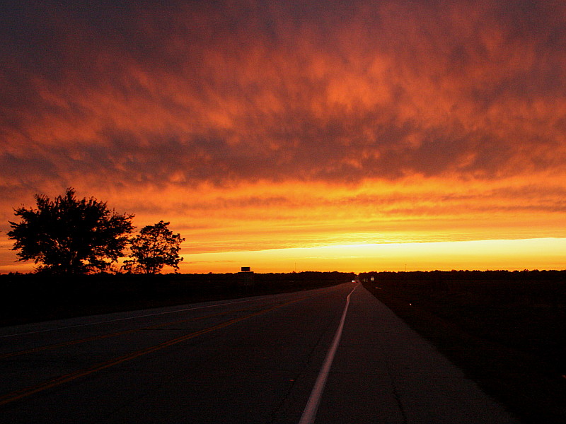
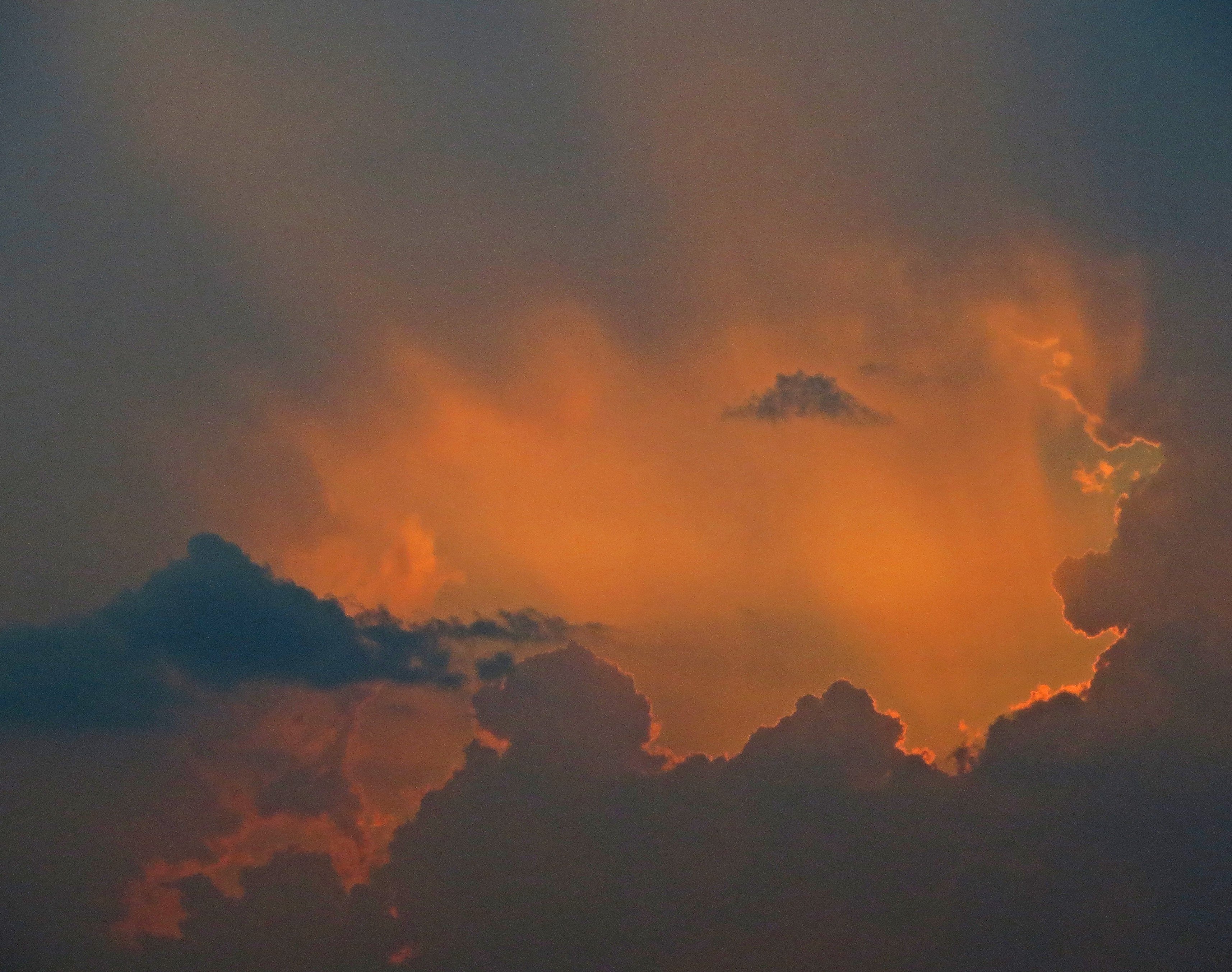
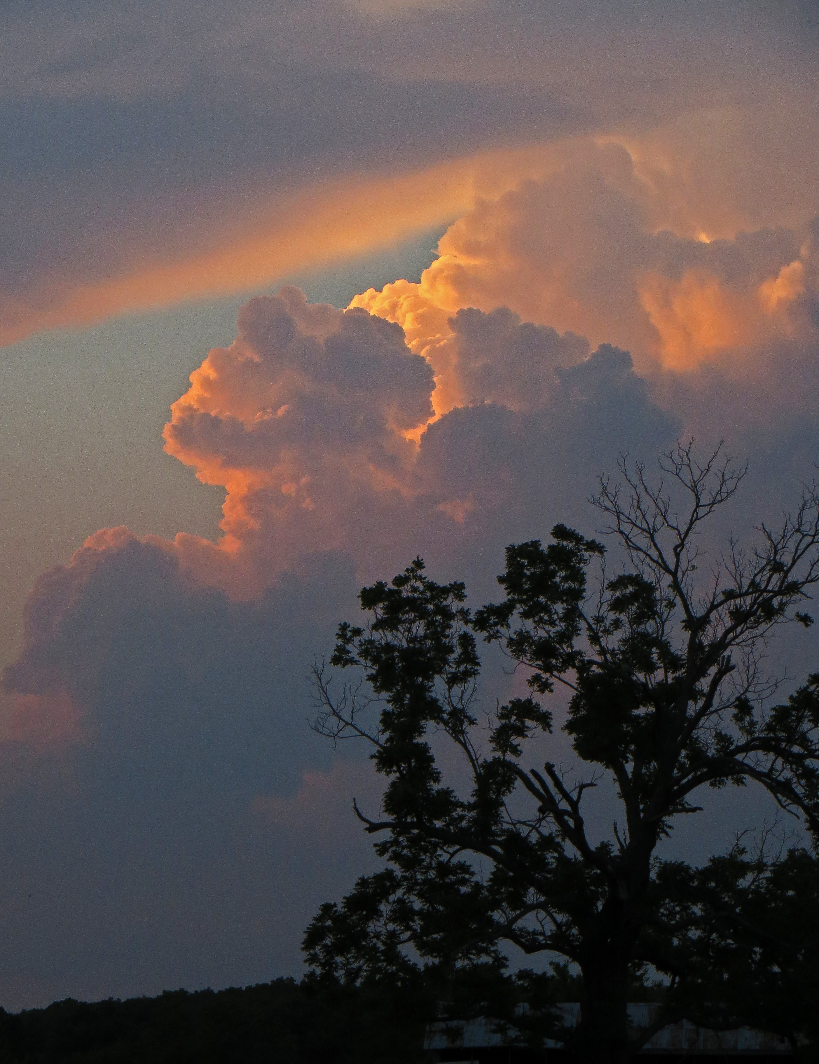
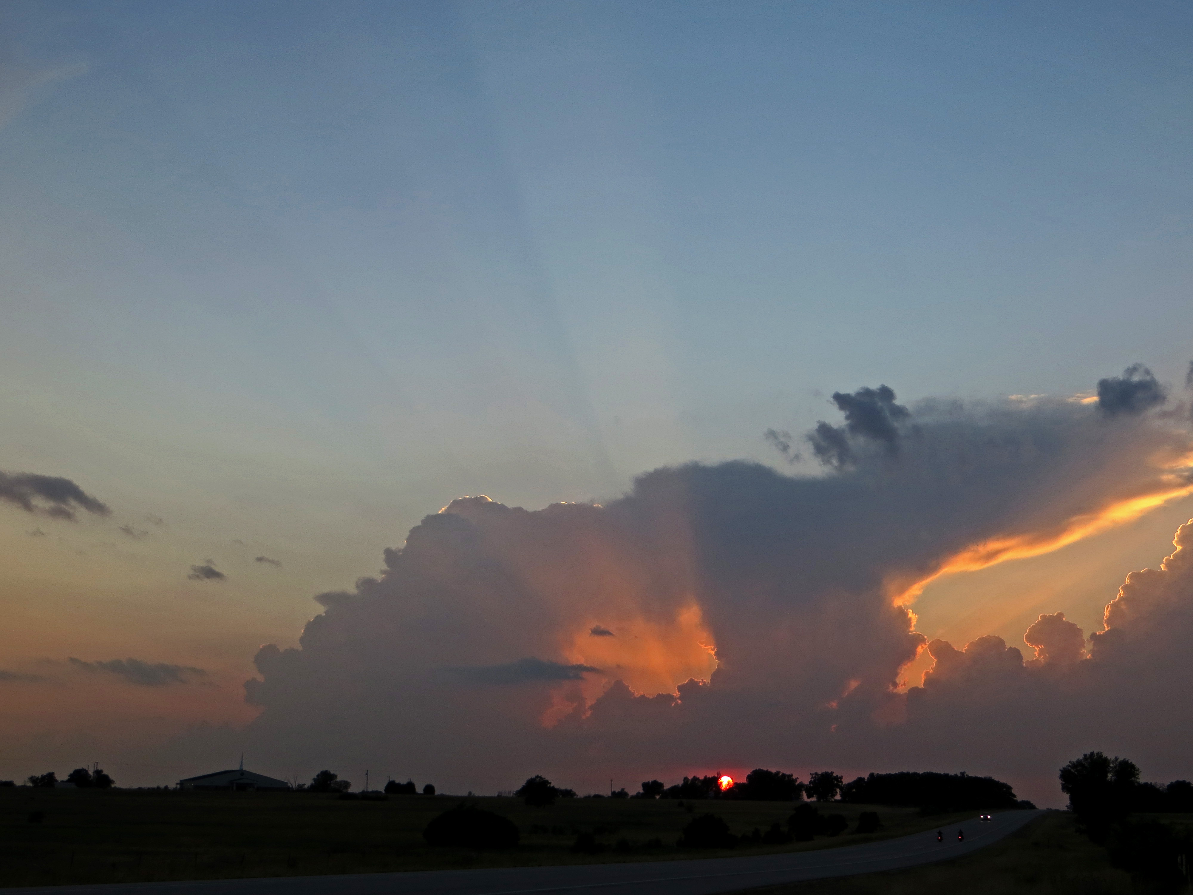
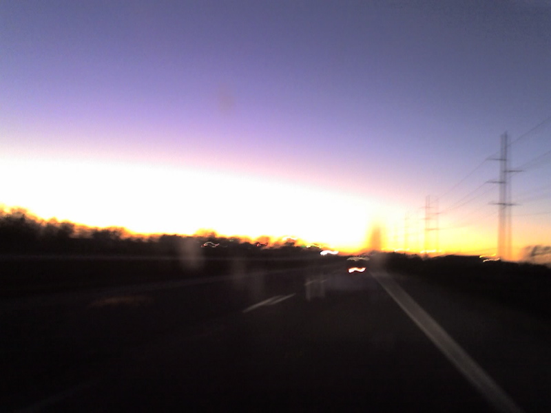
日出日落照片
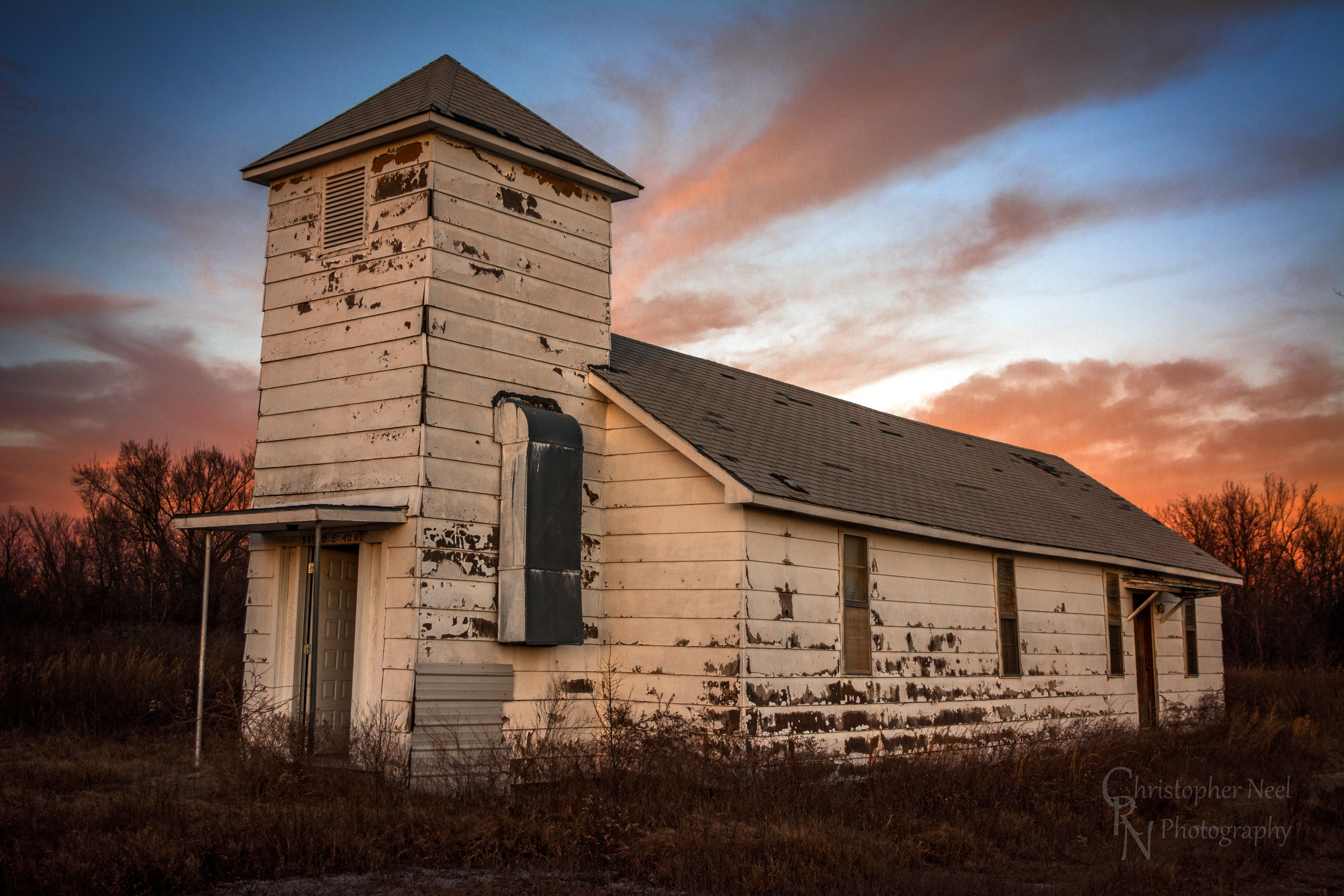
Abandoned Church in Picher, OK - 20150124CRN
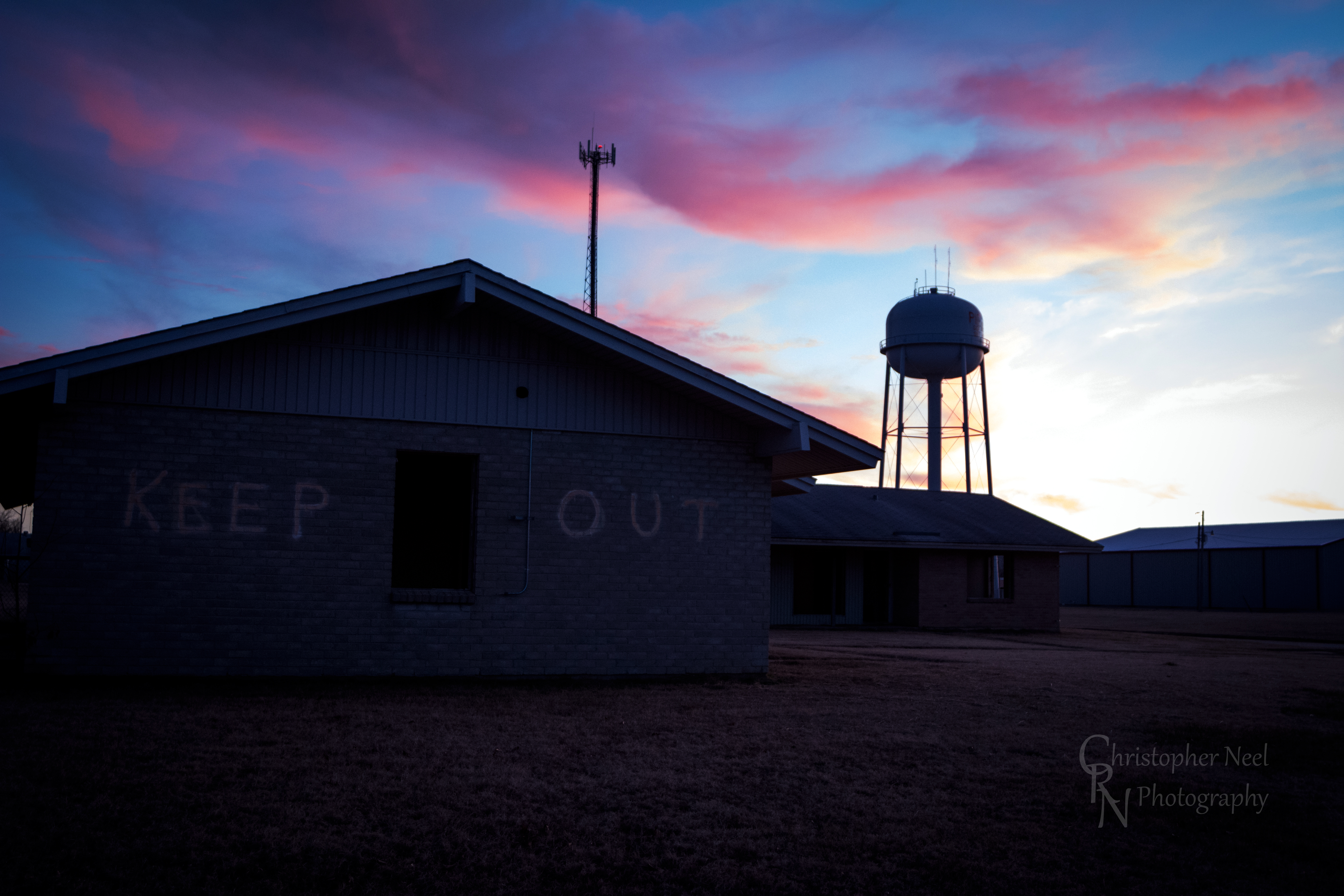
Abandoned Building Keep Out and Sunset in Picher, OK - 20150124CRN

10-06-09 Day 12 - Route 66
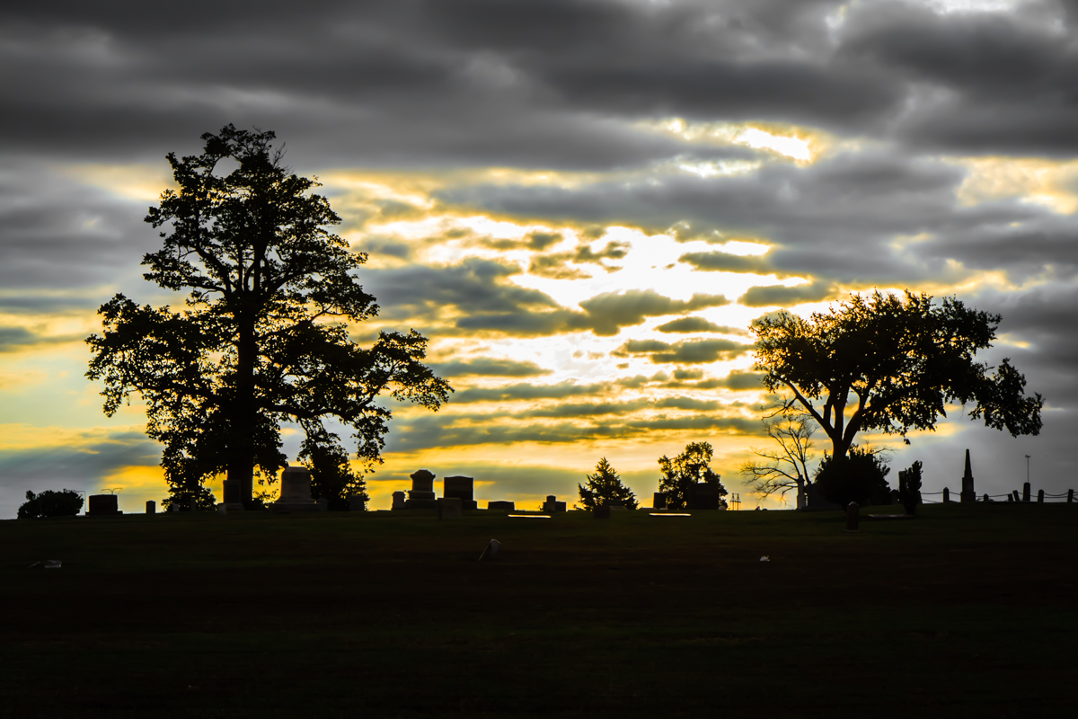
Baxter Springs Cemetery
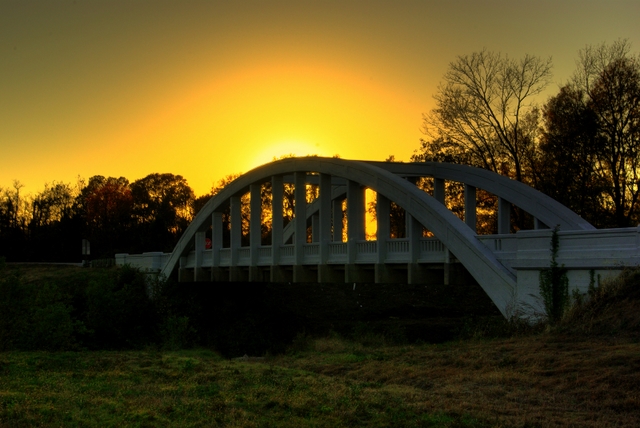
Rainbow Bridge Sunset
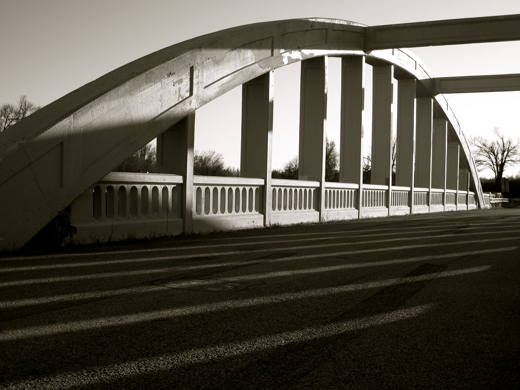
Bridge shadows
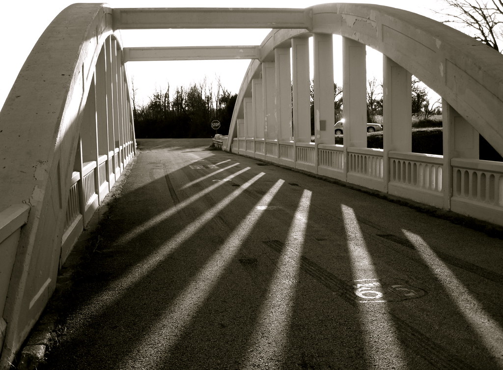
Route 66 Bridge
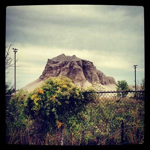
Abandoned 3-2 ballpark & chatpile in Picher, OK, site of the largest toxic waste site in US

Rainbow Sunset

10-06-09 Day 12 - Route 66

10-06-09 Day 12 - Route 66

10-06-09 Day 12 - Route 66
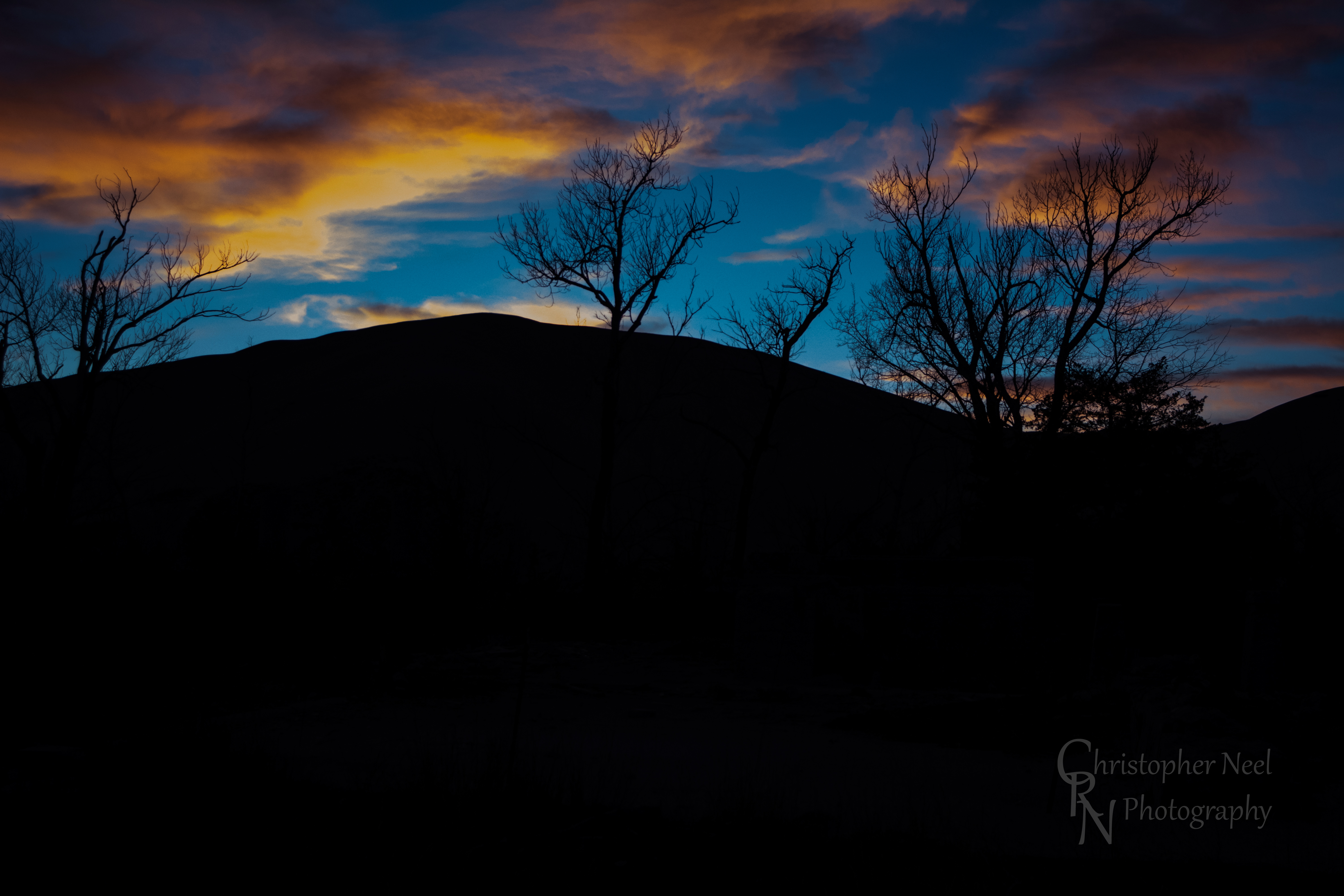
Sunset against a Silhouetted Chat Pile in Picher, OK - 20150124CRN

10-06-09 Day 12 - Route 66
Sunset on Route 66
The Donut Hole
Sunset Clouds
Donut Hole Sunset
Sunset in Quapaw, Oklahoma
Spring Valley, KS, 美國的地圖
搜索其他地方的日出日落時間
附近地點
SE 25th St, Columbus, KS 美國
W 12th St, Baxter Springs, KS 美國
美國堪萨斯巴克斯特斯普林斯
美國堪薩斯切羅基縣
Hale Irwin Dr, Baxter Springs, KS 美國Baxter Springs Golf & Country Club
SE 68th St, Riverton, KS 美國
美國堪薩斯州里弗頓
Virginia St, Quapaw, OK 美國
Quapaw, OK 美國
美國堪薩斯州加登鎮區
美國堪薩斯哥倫布
Pennsylvania, Columbus, KS 美國
Commerce St, Commerce, OK 美國
Commerce, OK 美國
W 6th St, Galena, KS 美國
Galena, KS, 美國
S Main St, Galena, KS 美國Mi Torito Mexican Restaurant
美國堪薩斯薩拉曼卡鎮區
Sky Harbor Dr, Miami, OK 美國Sky Harbor Drive
McKinley St, Miami, OK 美國
最近搜索
- Red Dog Mine, AK, USA的日出日落時間表
- Am bhf, Borken, 德國Am Bahnhof的日出日落時間表
- 4th St E, Sonoma, CA 美國的日出日落時間表
- Oakland Ave, Williamsport, PA 美國的日出日落時間表
- Via Roma, Pieranica CR, 義大利的日出日落時間表
- 克羅埃西亞杜布羅夫尼克 GradClock Tower of Dubrovnik的日出日落時間表
- 阿根廷丘布特省特雷利烏的日出日落時間表
- Hartfords Bluff Cir, Mt Pleasant, SC 美國的日出日落時間表
- 日本熊本縣熊本市北區的日出日落時間表
- 中國福州市平潭縣平潭島的日出日落時間表