Km 66 de la via Calacali la Independenci, 厄瓜多爾REFUGIO PAZ DE LAS AVES的日出日落時間表
Location: 厄瓜多爾 > 皮欽查 > 厄瓜多爾 > 厄瓜多 >
時區:
America/Guayaquil
當地時間:
2024-04-29 04:18:11
經度:
-78.707239
緯度:
0.0201491
今天日出時間:
06:08:32 AM
今天日落時間:
06:15:36 PM
今天日照時長:
12h 7m 4s
明天日出時間:
06:08:24 AM
明天日落時間:
06:15:28 PM
明天日照時長:
12h 7m 4s
顯示所有日期
| 日期 | 日出 | 日落 | 日照時長 |
|---|---|---|---|
| 2024年01月01日 | 06:14:55 AM | 06:22:16 PM | 12h 7m 21s |
| 2024年01月02日 | 06:15:23 AM | 06:22:44 PM | 12h 7m 21s |
| 2024年01月03日 | 06:15:50 AM | 06:23:11 PM | 12h 7m 21s |
| 2024年01月04日 | 06:16:18 AM | 06:23:38 PM | 12h 7m 20s |
| 2024年01月05日 | 06:16:45 AM | 06:24:05 PM | 12h 7m 20s |
| 2024年01月06日 | 06:17:11 AM | 06:24:31 PM | 12h 7m 20s |
| 2024年01月07日 | 06:17:37 AM | 06:24:56 PM | 12h 7m 19s |
| 2024年01月08日 | 06:18:02 AM | 06:25:21 PM | 12h 7m 19s |
| 2024年01月09日 | 06:18:27 AM | 06:25:46 PM | 12h 7m 19s |
| 2024年01月10日 | 06:18:52 AM | 06:26:10 PM | 12h 7m 18s |
| 2024年01月11日 | 06:19:16 AM | 06:26:33 PM | 12h 7m 17s |
| 2024年01月12日 | 06:19:39 AM | 06:26:56 PM | 12h 7m 17s |
| 2024年01月13日 | 06:20:02 AM | 06:27:18 PM | 12h 7m 16s |
| 2024年01月14日 | 06:20:23 AM | 06:27:40 PM | 12h 7m 17s |
| 2024年01月15日 | 06:20:45 AM | 06:28:00 PM | 12h 7m 15s |
| 2024年01月16日 | 06:21:05 AM | 06:28:20 PM | 12h 7m 15s |
| 2024年01月17日 | 06:21:25 AM | 06:28:40 PM | 12h 7m 15s |
| 2024年01月18日 | 06:21:45 AM | 06:28:59 PM | 12h 7m 14s |
| 2024年01月19日 | 06:22:03 AM | 06:29:16 PM | 12h 7m 13s |
| 2024年01月20日 | 06:22:21 AM | 06:29:34 PM | 12h 7m 13s |
| 2024年01月21日 | 06:22:38 AM | 06:29:50 PM | 12h 7m 12s |
| 2024年01月22日 | 06:22:54 AM | 06:30:06 PM | 12h 7m 12s |
| 2024年01月23日 | 06:23:10 AM | 06:30:21 PM | 12h 7m 11s |
| 2024年01月24日 | 06:23:24 AM | 06:30:35 PM | 12h 7m 11s |
| 2024年01月25日 | 06:23:38 AM | 06:30:48 PM | 12h 7m 10s |
| 2024年01月26日 | 06:23:51 AM | 06:31:01 PM | 12h 7m 10s |
| 2024年01月27日 | 06:24:04 AM | 06:31:12 PM | 12h 7m 8s |
| 2024年01月28日 | 06:24:15 AM | 06:31:23 PM | 12h 7m 8s |
| 2024年01月29日 | 06:24:26 AM | 06:31:33 PM | 12h 7m 7s |
| 2024年01月30日 | 06:24:36 AM | 06:31:43 PM | 12h 7m 7s |
| 2024年01月31日 | 06:24:45 AM | 06:31:51 PM | 12h 7m 6s |
| 2024年02月01日 | 06:24:53 AM | 06:31:59 PM | 12h 7m 6s |
| 2024年02月02日 | 06:25:01 AM | 06:32:05 PM | 12h 7m 4s |
| 2024年02月03日 | 06:25:07 AM | 06:32:11 PM | 12h 7m 4s |
| 2024年02月04日 | 06:25:13 AM | 06:32:17 PM | 12h 7m 4s |
| 2024年02月05日 | 06:25:18 AM | 06:32:21 PM | 12h 7m 3s |
| 2024年02月06日 | 06:25:22 AM | 06:32:25 PM | 12h 7m 3s |
| 2024年02月07日 | 06:25:26 AM | 06:32:27 PM | 12h 7m 1s |
| 2024年02月08日 | 06:25:28 AM | 06:32:29 PM | 12h 7m 1s |
| 2024年02月09日 | 06:25:30 AM | 06:32:31 PM | 12h 7m 1s |
| 2024年02月10日 | 06:25:31 AM | 06:32:31 PM | 12h 7m 0s |
| 2024年02月11日 | 06:25:31 AM | 06:32:31 PM | 12h 7m 0s |
| 2024年02月12日 | 06:25:31 AM | 06:32:30 PM | 12h 6m 59s |
| 2024年02月13日 | 06:25:30 AM | 06:32:28 PM | 12h 6m 58s |
| 2024年02月14日 | 06:25:28 AM | 06:32:25 PM | 12h 6m 57s |
| 2024年02月15日 | 06:25:25 AM | 06:32:22 PM | 12h 6m 57s |
| 2024年02月16日 | 06:25:21 AM | 06:32:18 PM | 12h 6m 57s |
| 2024年02月17日 | 06:25:17 AM | 06:32:13 PM | 12h 6m 56s |
| 2024年02月18日 | 06:25:12 AM | 06:32:08 PM | 12h 6m 56s |
| 2024年02月19日 | 06:25:07 AM | 06:32:02 PM | 12h 6m 55s |
| 2024年02月20日 | 06:25:01 AM | 06:31:55 PM | 12h 6m 54s |
| 2024年02月21日 | 06:24:54 AM | 06:31:48 PM | 12h 6m 54s |
| 2024年02月22日 | 06:24:46 AM | 06:31:40 PM | 12h 6m 54s |
| 2024年02月23日 | 06:24:38 AM | 06:31:32 PM | 12h 6m 54s |
| 2024年02月24日 | 06:24:29 AM | 06:31:22 PM | 12h 6m 53s |
| 2024年02月25日 | 06:24:20 AM | 06:31:13 PM | 12h 6m 53s |
| 2024年02月26日 | 06:24:10 AM | 06:31:03 PM | 12h 6m 53s |
| 2024年02月27日 | 06:24:00 AM | 06:30:52 PM | 12h 6m 52s |
| 2024年02月28日 | 06:23:49 AM | 06:30:40 PM | 12h 6m 51s |
| 2024年02月29日 | 06:23:37 AM | 06:30:29 PM | 12h 6m 52s |
| 2024年03月01日 | 06:23:25 AM | 06:30:16 PM | 12h 6m 51s |
| 2024年03月02日 | 06:23:13 AM | 06:30:03 PM | 12h 6m 50s |
| 2024年03月03日 | 06:23:00 AM | 06:29:50 PM | 12h 6m 50s |
| 2024年03月04日 | 06:22:46 AM | 06:29:37 PM | 12h 6m 51s |
| 2024年03月05日 | 06:22:33 AM | 06:29:22 PM | 12h 6m 49s |
| 2024年03月06日 | 06:22:18 AM | 06:29:08 PM | 12h 6m 50s |
| 2024年03月07日 | 06:22:04 AM | 06:28:53 PM | 12h 6m 49s |
| 2024年03月08日 | 06:21:49 AM | 06:28:38 PM | 12h 6m 49s |
| 2024年03月09日 | 06:21:33 AM | 06:28:22 PM | 12h 6m 49s |
| 2024年03月10日 | 06:21:18 AM | 06:28:07 PM | 12h 6m 49s |
| 2024年03月11日 | 06:21:02 AM | 06:27:51 PM | 12h 6m 49s |
| 2024年03月12日 | 06:20:45 AM | 06:27:34 PM | 12h 6m 49s |
| 2024年03月13日 | 06:20:29 AM | 06:27:18 PM | 12h 6m 49s |
| 2024年03月14日 | 06:20:12 AM | 06:27:01 PM | 12h 6m 49s |
| 2024年03月15日 | 06:19:55 AM | 06:26:44 PM | 12h 6m 49s |
| 2024年03月16日 | 06:19:38 AM | 06:26:26 PM | 12h 6m 48s |
| 2024年03月17日 | 06:19:20 AM | 06:26:09 PM | 12h 6m 49s |
| 2024年03月18日 | 06:19:03 AM | 06:25:51 PM | 12h 6m 48s |
| 2024年03月19日 | 06:18:45 AM | 06:25:34 PM | 12h 6m 49s |
| 2024年03月20日 | 06:18:27 AM | 06:25:16 PM | 12h 6m 49s |
| 2024年03月21日 | 06:18:09 AM | 06:24:58 PM | 12h 6m 49s |
| 2024年03月22日 | 06:17:51 AM | 06:24:40 PM | 12h 6m 49s |
| 2024年03月23日 | 06:17:33 AM | 06:24:22 PM | 12h 6m 49s |
| 2024年03月24日 | 06:17:15 AM | 06:24:04 PM | 12h 6m 49s |
| 2024年03月25日 | 06:16:57 AM | 06:23:46 PM | 12h 6m 49s |
| 2024年03月26日 | 06:16:39 AM | 06:23:28 PM | 12h 6m 49s |
| 2024年03月27日 | 06:16:20 AM | 06:23:10 PM | 12h 6m 50s |
| 2024年03月28日 | 06:16:02 AM | 06:22:52 PM | 12h 6m 50s |
| 2024年03月29日 | 06:15:44 AM | 06:22:34 PM | 12h 6m 50s |
| 2024年03月30日 | 06:15:26 AM | 06:22:16 PM | 12h 6m 50s |
| 2024年03月31日 | 06:15:08 AM | 06:21:59 PM | 12h 6m 51s |
| 2024年04月01日 | 06:14:50 AM | 06:21:41 PM | 12h 6m 51s |
| 2024年04月02日 | 06:14:33 AM | 06:21:24 PM | 12h 6m 51s |
| 2024年04月03日 | 06:14:15 AM | 06:21:06 PM | 12h 6m 51s |
| 2024年04月04日 | 06:13:58 AM | 06:20:49 PM | 12h 6m 51s |
| 2024年04月05日 | 06:13:41 AM | 06:20:33 PM | 12h 6m 52s |
| 2024年04月06日 | 06:13:24 AM | 06:20:16 PM | 12h 6m 52s |
| 2024年04月07日 | 06:13:07 AM | 06:20:00 PM | 12h 6m 53s |
| 2024年04月08日 | 06:12:51 AM | 06:19:43 PM | 12h 6m 52s |
| 2024年04月09日 | 06:12:34 AM | 06:19:28 PM | 12h 6m 54s |
| 2024年04月10日 | 06:12:18 AM | 06:19:12 PM | 12h 6m 54s |
| 2024年04月11日 | 06:12:03 AM | 06:18:57 PM | 12h 6m 54s |
| 2024年04月12日 | 06:11:47 AM | 06:18:42 PM | 12h 6m 55s |
| 2024年04月13日 | 06:11:32 AM | 06:18:27 PM | 12h 6m 55s |
| 2024年04月14日 | 06:11:18 AM | 06:18:13 PM | 12h 6m 55s |
| 2024年04月15日 | 06:11:03 AM | 06:17:59 PM | 12h 6m 56s |
| 2024年04月16日 | 06:10:49 AM | 06:17:46 PM | 12h 6m 57s |
| 2024年04月17日 | 06:10:36 AM | 06:17:33 PM | 12h 6m 57s |
| 2024年04月18日 | 06:10:23 AM | 06:17:20 PM | 12h 6m 57s |
| 2024年04月19日 | 06:10:10 AM | 06:17:08 PM | 12h 6m 58s |
| 2024年04月20日 | 06:09:58 AM | 06:16:56 PM | 12h 6m 58s |
| 2024年04月21日 | 06:09:46 AM | 06:16:45 PM | 12h 6m 59s |
| 2024年04月22日 | 06:09:34 AM | 06:16:34 PM | 12h 7m 0s |
| 2024年04月23日 | 06:09:23 AM | 06:16:24 PM | 12h 7m 1s |
| 2024年04月24日 | 06:09:13 AM | 06:16:14 PM | 12h 7m 1s |
| 2024年04月25日 | 06:09:03 AM | 06:16:04 PM | 12h 7m 1s |
| 2024年04月26日 | 06:08:53 AM | 06:15:55 PM | 12h 7m 2s |
| 2024年04月27日 | 06:08:44 AM | 06:15:47 PM | 12h 7m 3s |
| 2024年04月28日 | 06:08:36 AM | 06:15:39 PM | 12h 7m 3s |
| 2024年04月29日 | 06:08:28 AM | 06:15:32 PM | 12h 7m 4s |
| 2024年04月30日 | 06:08:20 AM | 06:15:25 PM | 12h 7m 5s |
| 2024年05月01日 | 06:08:13 AM | 06:15:19 PM | 12h 7m 6s |
| 2024年05月02日 | 06:08:07 AM | 06:15:13 PM | 12h 7m 6s |
| 2024年05月03日 | 06:08:01 AM | 06:15:08 PM | 12h 7m 7s |
| 2024年05月04日 | 06:07:56 AM | 06:15:03 PM | 12h 7m 7s |
| 2024年05月05日 | 06:07:51 AM | 06:14:59 PM | 12h 7m 8s |
| 2024年05月06日 | 06:07:47 AM | 06:14:56 PM | 12h 7m 9s |
| 2024年05月07日 | 06:07:44 AM | 06:14:53 PM | 12h 7m 9s |
| 2024年05月08日 | 06:07:41 AM | 06:14:50 PM | 12h 7m 9s |
| 2024年05月09日 | 06:07:38 AM | 06:14:49 PM | 12h 7m 11s |
| 2024年05月10日 | 06:07:36 AM | 06:14:47 PM | 12h 7m 11s |
| 2024年05月11日 | 06:07:35 AM | 06:14:47 PM | 12h 7m 12s |
| 2024年05月12日 | 06:07:34 AM | 06:14:47 PM | 12h 7m 13s |
| 2024年05月13日 | 06:07:34 AM | 06:14:47 PM | 12h 7m 13s |
| 2024年05月14日 | 06:07:35 AM | 06:14:48 PM | 12h 7m 13s |
| 2024年05月15日 | 06:07:36 AM | 06:14:50 PM | 12h 7m 14s |
| 2024年05月16日 | 06:07:37 AM | 06:14:52 PM | 12h 7m 15s |
| 2024年05月17日 | 06:07:40 AM | 06:14:55 PM | 12h 7m 15s |
| 2024年05月18日 | 06:07:42 AM | 06:14:58 PM | 12h 7m 16s |
| 2024年05月19日 | 06:07:45 AM | 06:15:02 PM | 12h 7m 17s |
| 2024年05月20日 | 06:07:49 AM | 06:15:06 PM | 12h 7m 17s |
| 2024年05月21日 | 06:07:54 AM | 06:15:11 PM | 12h 7m 17s |
| 2024年05月22日 | 06:07:58 AM | 06:15:16 PM | 12h 7m 18s |
| 2024年05月23日 | 06:08:04 AM | 06:15:22 PM | 12h 7m 18s |
| 2024年05月24日 | 06:08:10 AM | 06:15:29 PM | 12h 7m 19s |
| 2024年05月25日 | 06:08:16 AM | 06:15:36 PM | 12h 7m 20s |
| 2024年05月26日 | 06:08:23 AM | 06:15:43 PM | 12h 7m 20s |
| 2024年05月27日 | 06:08:30 AM | 06:15:51 PM | 12h 7m 21s |
| 2024年05月28日 | 06:08:38 AM | 06:15:59 PM | 12h 7m 21s |
| 2024年05月29日 | 06:08:46 AM | 06:16:08 PM | 12h 7m 22s |
| 2024年05月30日 | 06:08:55 AM | 06:16:17 PM | 12h 7m 22s |
| 2024年05月31日 | 06:09:04 AM | 06:16:26 PM | 12h 7m 22s |
| 2024年06月01日 | 06:09:13 AM | 06:16:36 PM | 12h 7m 23s |
| 2024年06月02日 | 06:09:23 AM | 06:16:46 PM | 12h 7m 23s |
| 2024年06月03日 | 06:09:33 AM | 06:16:57 PM | 12h 7m 24s |
| 2024年06月04日 | 06:09:43 AM | 06:17:07 PM | 12h 7m 24s |
| 2024年06月05日 | 06:09:54 AM | 06:17:19 PM | 12h 7m 25s |
| 2024年06月06日 | 06:10:05 AM | 06:17:30 PM | 12h 7m 25s |
| 2024年06月07日 | 06:10:17 AM | 06:17:42 PM | 12h 7m 25s |
| 2024年06月08日 | 06:10:28 AM | 06:17:54 PM | 12h 7m 26s |
| 2024年06月09日 | 06:10:40 AM | 06:18:06 PM | 12h 7m 26s |
| 2024年06月10日 | 06:10:52 AM | 06:18:18 PM | 12h 7m 26s |
| 2024年06月11日 | 06:11:05 AM | 06:18:31 PM | 12h 7m 26s |
| 2024年06月12日 | 06:11:17 AM | 06:18:43 PM | 12h 7m 26s |
| 2024年06月13日 | 06:11:30 AM | 06:18:56 PM | 12h 7m 26s |
| 2024年06月14日 | 06:11:43 AM | 06:19:09 PM | 12h 7m 26s |
| 2024年06月15日 | 06:11:56 AM | 06:19:22 PM | 12h 7m 26s |
| 2024年06月16日 | 06:12:09 AM | 06:19:35 PM | 12h 7m 26s |
| 2024年06月17日 | 06:12:22 AM | 06:19:48 PM | 12h 7m 26s |
| 2024年06月18日 | 06:12:35 AM | 06:20:01 PM | 12h 7m 26s |
| 2024年06月19日 | 06:12:48 AM | 06:20:14 PM | 12h 7m 26s |
| 2024年06月20日 | 06:13:01 AM | 06:20:27 PM | 12h 7m 26s |
| 2024年06月21日 | 06:13:14 AM | 06:20:40 PM | 12h 7m 26s |
| 2024年06月22日 | 06:13:27 AM | 06:20:53 PM | 12h 7m 26s |
| 2024年06月23日 | 06:13:40 AM | 06:21:06 PM | 12h 7m 26s |
| 2024年06月24日 | 06:13:52 AM | 06:21:19 PM | 12h 7m 27s |
| 2024年06月25日 | 06:14:05 AM | 06:21:31 PM | 12h 7m 26s |
| 2024年06月26日 | 06:14:18 AM | 06:21:44 PM | 12h 7m 26s |
| 2024年06月27日 | 06:14:30 AM | 06:21:56 PM | 12h 7m 26s |
| 2024年06月28日 | 06:14:42 AM | 06:22:08 PM | 12h 7m 26s |
| 2024年06月29日 | 06:14:54 AM | 06:22:19 PM | 12h 7m 25s |
| 2024年06月30日 | 06:15:06 AM | 06:22:31 PM | 12h 7m 25s |
| 2024年07月01日 | 06:15:17 AM | 06:22:42 PM | 12h 7m 25s |
| 2024年07月02日 | 06:15:28 AM | 06:22:53 PM | 12h 7m 25s |
| 2024年07月03日 | 06:15:39 AM | 06:23:03 PM | 12h 7m 24s |
| 2024年07月04日 | 06:15:50 AM | 06:23:14 PM | 12h 7m 24s |
| 2024年07月05日 | 06:16:00 AM | 06:23:23 PM | 12h 7m 23s |
| 2024年07月06日 | 06:16:10 AM | 06:23:33 PM | 12h 7m 23s |
| 2024年07月07日 | 06:16:19 AM | 06:23:42 PM | 12h 7m 23s |
| 2024年07月08日 | 06:16:28 AM | 06:23:50 PM | 12h 7m 22s |
| 2024年07月09日 | 06:16:37 AM | 06:23:59 PM | 12h 7m 22s |
| 2024年07月10日 | 06:16:45 AM | 06:24:06 PM | 12h 7m 21s |
| 2024年07月11日 | 06:16:52 AM | 06:24:14 PM | 12h 7m 22s |
| 2024年07月12日 | 06:17:00 AM | 06:24:20 PM | 12h 7m 20s |
| 2024年07月13日 | 06:17:06 AM | 06:24:27 PM | 12h 7m 21s |
| 2024年07月14日 | 06:17:13 AM | 06:24:32 PM | 12h 7m 19s |
| 2024年07月15日 | 06:17:18 AM | 06:24:38 PM | 12h 7m 20s |
| 2024年07月16日 | 06:17:24 AM | 06:24:42 PM | 12h 7m 18s |
| 2024年07月17日 | 06:17:28 AM | 06:24:47 PM | 12h 7m 19s |
| 2024年07月18日 | 06:17:33 AM | 06:24:50 PM | 12h 7m 17s |
| 2024年07月19日 | 06:17:36 AM | 06:24:53 PM | 12h 7m 17s |
| 2024年07月20日 | 06:17:39 AM | 06:24:56 PM | 12h 7m 17s |
| 2024年07月21日 | 06:17:42 AM | 06:24:58 PM | 12h 7m 16s |
| 2024年07月22日 | 06:17:44 AM | 06:24:59 PM | 12h 7m 15s |
| 2024年07月23日 | 06:17:45 AM | 06:25:00 PM | 12h 7m 15s |
| 2024年07月24日 | 06:17:46 AM | 06:25:00 PM | 12h 7m 14s |
| 2024年07月25日 | 06:17:46 AM | 06:24:59 PM | 12h 7m 13s |
| 2024年07月26日 | 06:17:46 AM | 06:24:58 PM | 12h 7m 12s |
| 2024年07月27日 | 06:17:45 AM | 06:24:57 PM | 12h 7m 12s |
| 2024年07月28日 | 06:17:43 AM | 06:24:54 PM | 12h 7m 11s |
| 2024年07月29日 | 06:17:41 AM | 06:24:52 PM | 12h 7m 11s |
| 2024年07月30日 | 06:17:38 AM | 06:24:48 PM | 12h 7m 10s |
| 2024年07月31日 | 06:17:34 AM | 06:24:44 PM | 12h 7m 10s |
| 2024年08月01日 | 06:17:30 AM | 06:24:39 PM | 12h 7m 9s |
| 2024年08月02日 | 06:17:26 AM | 06:24:34 PM | 12h 7m 8s |
| 2024年08月03日 | 06:17:20 AM | 06:24:28 PM | 12h 7m 8s |
| 2024年08月04日 | 06:17:14 AM | 06:24:22 PM | 12h 7m 8s |
| 2024年08月05日 | 06:17:08 AM | 06:24:14 PM | 12h 7m 6s |
| 2024年08月06日 | 06:17:01 AM | 06:24:07 PM | 12h 7m 6s |
| 2024年08月07日 | 06:16:53 AM | 06:23:58 PM | 12h 7m 5s |
| 2024年08月08日 | 06:16:45 AM | 06:23:50 PM | 12h 7m 5s |
| 2024年08月09日 | 06:16:36 AM | 06:23:40 PM | 12h 7m 4s |
| 2024年08月10日 | 06:16:27 AM | 06:23:30 PM | 12h 7m 3s |
| 2024年08月11日 | 06:16:17 AM | 06:23:19 PM | 12h 7m 2s |
| 2024年08月12日 | 06:16:06 AM | 06:23:08 PM | 12h 7m 2s |
| 2024年08月13日 | 06:15:55 AM | 06:22:57 PM | 12h 7m 2s |
| 2024年08月14日 | 06:15:44 AM | 06:22:45 PM | 12h 7m 1s |
| 2024年08月15日 | 06:15:32 AM | 06:22:32 PM | 12h 7m 0s |
| 2024年08月16日 | 06:15:19 AM | 06:22:19 PM | 12h 7m 0s |
| 2024年08月17日 | 06:15:06 AM | 06:22:05 PM | 12h 6m 59s |
| 2024年08月18日 | 06:14:52 AM | 06:21:51 PM | 12h 6m 59s |
| 2024年08月19日 | 06:14:38 AM | 06:21:36 PM | 12h 6m 58s |
| 2024年08月20日 | 06:14:23 AM | 06:21:21 PM | 12h 6m 58s |
| 2024年08月21日 | 06:14:08 AM | 06:21:05 PM | 12h 6m 57s |
| 2024年08月22日 | 06:13:53 AM | 06:20:49 PM | 12h 6m 56s |
| 2024年08月23日 | 06:13:37 AM | 06:20:33 PM | 12h 6m 56s |
| 2024年08月24日 | 06:13:20 AM | 06:20:16 PM | 12h 6m 56s |
| 2024年08月25日 | 06:13:04 AM | 06:19:59 PM | 12h 6m 55s |
| 2024年08月26日 | 06:12:47 AM | 06:19:41 PM | 12h 6m 54s |
| 2024年08月27日 | 06:12:29 AM | 06:19:23 PM | 12h 6m 54s |
| 2024年08月28日 | 06:12:11 AM | 06:19:05 PM | 12h 6m 54s |
| 2024年08月29日 | 06:11:53 AM | 06:18:46 PM | 12h 6m 53s |
| 2024年08月30日 | 06:11:34 AM | 06:18:27 PM | 12h 6m 53s |
| 2024年08月31日 | 06:11:15 AM | 06:18:08 PM | 12h 6m 53s |
| 2024年09月01日 | 06:10:56 AM | 06:17:48 PM | 12h 6m 52s |
| 2024年09月02日 | 06:10:37 AM | 06:17:28 PM | 12h 6m 51s |
| 2024年09月03日 | 06:10:17 AM | 06:17:08 PM | 12h 6m 51s |
| 2024年09月04日 | 06:09:57 AM | 06:16:48 PM | 12h 6m 51s |
| 2024年09月05日 | 06:09:37 AM | 06:16:27 PM | 12h 6m 50s |
| 2024年09月06日 | 06:09:17 AM | 06:16:07 PM | 12h 6m 50s |
| 2024年09月07日 | 06:08:56 AM | 06:15:46 PM | 12h 6m 50s |
| 2024年09月08日 | 06:08:35 AM | 06:15:25 PM | 12h 6m 50s |
| 2024年09月09日 | 06:08:14 AM | 06:15:04 PM | 12h 6m 50s |
| 2024年09月10日 | 06:07:53 AM | 06:14:42 PM | 12h 6m 49s |
| 2024年09月11日 | 06:07:32 AM | 06:14:21 PM | 12h 6m 49s |
| 2024年09月12日 | 06:07:11 AM | 06:14:00 PM | 12h 6m 49s |
| 2024年09月13日 | 06:06:50 AM | 06:13:38 PM | 12h 6m 48s |
| 2024年09月14日 | 06:06:28 AM | 06:13:17 PM | 12h 6m 49s |
| 2024年09月15日 | 06:06:07 AM | 06:12:55 PM | 12h 6m 48s |
| 2024年09月16日 | 06:05:46 AM | 06:12:34 PM | 12h 6m 48s |
| 2024年09月17日 | 06:05:24 AM | 06:12:12 PM | 12h 6m 48s |
| 2024年09月18日 | 06:05:03 AM | 06:11:51 PM | 12h 6m 48s |
| 2024年09月19日 | 06:04:42 AM | 06:11:29 PM | 12h 6m 47s |
| 2024年09月20日 | 06:04:20 AM | 06:11:08 PM | 12h 6m 48s |
| 2024年09月21日 | 06:03:59 AM | 06:10:47 PM | 12h 6m 48s |
| 2024年09月22日 | 06:03:38 AM | 06:10:26 PM | 12h 6m 48s |
| 2024年09月23日 | 06:03:17 AM | 06:10:05 PM | 12h 6m 48s |
| 2024年09月24日 | 06:02:57 AM | 06:09:44 PM | 12h 6m 47s |
| 2024年09月25日 | 06:02:36 AM | 06:09:24 PM | 12h 6m 48s |
| 2024年09月26日 | 06:02:16 AM | 06:09:03 PM | 12h 6m 47s |
| 2024年09月27日 | 06:01:55 AM | 06:08:43 PM | 12h 6m 48s |
| 2024年09月28日 | 06:01:36 AM | 06:08:23 PM | 12h 6m 47s |
| 2024年09月29日 | 06:01:16 AM | 06:08:04 PM | 12h 6m 48s |
| 2024年09月30日 | 06:00:56 AM | 06:07:44 PM | 12h 6m 48s |
| 2024年10月01日 | 06:00:37 AM | 06:07:25 PM | 12h 6m 48s |
| 2024年10月02日 | 06:00:18 AM | 06:07:07 PM | 12h 6m 49s |
| 2024年10月03日 | 06:00:00 AM | 06:06:48 PM | 12h 6m 48s |
| 2024年10月04日 | 05:59:42 AM | 06:06:31 PM | 12h 6m 49s |
| 2024年10月05日 | 05:59:24 AM | 06:06:13 PM | 12h 6m 49s |
| 2024年10月06日 | 05:59:07 AM | 06:05:56 PM | 12h 6m 49s |
| 2024年10月07日 | 05:58:50 AM | 06:05:39 PM | 12h 6m 49s |
| 2024年10月08日 | 05:58:33 AM | 06:05:23 PM | 12h 6m 50s |
| 2024年10月09日 | 05:58:17 AM | 06:05:07 PM | 12h 6m 50s |
| 2024年10月10日 | 05:58:02 AM | 06:04:52 PM | 12h 6m 50s |
| 2024年10月11日 | 05:57:46 AM | 06:04:37 PM | 12h 6m 51s |
| 2024年10月12日 | 05:57:32 AM | 06:04:23 PM | 12h 6m 51s |
| 2024年10月13日 | 05:57:18 AM | 06:04:09 PM | 12h 6m 51s |
| 2024年10月14日 | 05:57:04 AM | 06:03:56 PM | 12h 6m 52s |
| 2024年10月15日 | 05:56:51 AM | 06:03:43 PM | 12h 6m 52s |
| 2024年10月16日 | 05:56:39 AM | 06:03:31 PM | 12h 6m 52s |
| 2024年10月17日 | 05:56:27 AM | 06:03:20 PM | 12h 6m 53s |
| 2024年10月18日 | 05:56:16 AM | 06:03:09 PM | 12h 6m 53s |
| 2024年10月19日 | 05:56:05 AM | 06:02:59 PM | 12h 6m 54s |
| 2024年10月20日 | 05:55:55 AM | 06:02:50 PM | 12h 6m 55s |
| 2024年10月21日 | 05:55:46 AM | 06:02:41 PM | 12h 6m 55s |
| 2024年10月22日 | 05:55:38 AM | 06:02:33 PM | 12h 6m 55s |
| 2024年10月23日 | 05:55:30 AM | 06:02:26 PM | 12h 6m 56s |
| 2024年10月24日 | 05:55:23 AM | 06:02:19 PM | 12h 6m 56s |
| 2024年10月25日 | 05:55:16 AM | 06:02:13 PM | 12h 6m 57s |
| 2024年10月26日 | 05:55:11 AM | 06:02:08 PM | 12h 6m 57s |
| 2024年10月27日 | 05:55:06 AM | 06:02:03 PM | 12h 6m 57s |
| 2024年10月28日 | 05:55:01 AM | 06:02:00 PM | 12h 6m 59s |
| 2024年10月29日 | 05:54:58 AM | 06:01:57 PM | 12h 6m 59s |
| 2024年10月30日 | 05:54:55 AM | 06:01:55 PM | 12h 7m 0s |
| 2024年10月31日 | 05:54:53 AM | 06:01:54 PM | 12h 7m 1s |
| 2024年11月01日 | 05:54:52 AM | 06:01:53 PM | 12h 7m 1s |
| 2024年11月02日 | 05:54:52 AM | 06:01:54 PM | 12h 7m 2s |
| 2024年11月03日 | 05:54:53 AM | 06:01:55 PM | 12h 7m 2s |
| 2024年11月04日 | 05:54:54 AM | 06:01:57 PM | 12h 7m 3s |
| 2024年11月05日 | 05:54:56 AM | 06:02:00 PM | 12h 7m 4s |
| 2024年11月06日 | 05:54:59 AM | 06:02:03 PM | 12h 7m 4s |
| 2024年11月07日 | 05:55:03 AM | 06:02:08 PM | 12h 7m 5s |
| 2024年11月08日 | 05:55:08 AM | 06:02:13 PM | 12h 7m 5s |
| 2024年11月09日 | 05:55:14 AM | 06:02:19 PM | 12h 7m 5s |
| 2024年11月10日 | 05:55:20 AM | 06:02:26 PM | 12h 7m 6s |
| 2024年11月11日 | 05:55:27 AM | 06:02:34 PM | 12h 7m 7s |
| 2024年11月12日 | 05:55:36 AM | 06:02:43 PM | 12h 7m 7s |
| 2024年11月13日 | 05:55:45 AM | 06:02:53 PM | 12h 7m 8s |
| 2024年11月14日 | 05:55:54 AM | 06:03:03 PM | 12h 7m 9s |
| 2024年11月15日 | 05:56:05 AM | 06:03:15 PM | 12h 7m 10s |
| 2024年11月16日 | 05:56:17 AM | 06:03:27 PM | 12h 7m 10s |
| 2024年11月17日 | 05:56:29 AM | 06:03:40 PM | 12h 7m 11s |
| 2024年11月18日 | 05:56:42 AM | 06:03:53 PM | 12h 7m 11s |
| 2024年11月19日 | 05:56:56 AM | 06:04:08 PM | 12h 7m 12s |
| 2024年11月20日 | 05:57:11 AM | 06:04:23 PM | 12h 7m 12s |
| 2024年11月21日 | 05:57:27 AM | 06:04:40 PM | 12h 7m 13s |
| 2024年11月22日 | 05:57:43 AM | 06:04:57 PM | 12h 7m 14s |
| 2024年11月23日 | 05:58:00 AM | 06:05:14 PM | 12h 7m 14s |
| 2024年11月24日 | 05:58:18 AM | 06:05:33 PM | 12h 7m 15s |
| 2024年11月25日 | 05:58:37 AM | 06:05:52 PM | 12h 7m 15s |
| 2024年11月26日 | 05:58:56 AM | 06:06:12 PM | 12h 7m 16s |
| 2024年11月27日 | 05:59:16 AM | 06:06:33 PM | 12h 7m 17s |
| 2024年11月28日 | 05:59:37 AM | 06:06:54 PM | 12h 7m 17s |
| 2024年11月29日 | 05:59:59 AM | 06:07:16 PM | 12h 7m 17s |
| 2024年11月30日 | 06:00:21 AM | 06:07:39 PM | 12h 7m 18s |
| 2024年12月01日 | 06:00:44 AM | 06:08:02 PM | 12h 7m 18s |
| 2024年12月02日 | 06:01:07 AM | 06:08:26 PM | 12h 7m 19s |
| 2024年12月03日 | 06:01:31 AM | 06:08:50 PM | 12h 7m 19s |
| 2024年12月04日 | 06:01:56 AM | 06:09:15 PM | 12h 7m 19s |
| 2024年12月05日 | 06:02:21 AM | 06:09:41 PM | 12h 7m 20s |
| 2024年12月06日 | 06:02:47 AM | 06:10:07 PM | 12h 7m 20s |
| 2024年12月07日 | 06:03:13 AM | 06:10:33 PM | 12h 7m 20s |
| 2024年12月08日 | 06:03:40 AM | 06:11:00 PM | 12h 7m 20s |
| 2024年12月09日 | 06:04:07 AM | 06:11:28 PM | 12h 7m 21s |
| 2024年12月10日 | 06:04:34 AM | 06:11:56 PM | 12h 7m 22s |
| 2024年12月11日 | 06:05:02 AM | 06:12:24 PM | 12h 7m 22s |
| 2024年12月12日 | 06:05:30 AM | 06:12:52 PM | 12h 7m 22s |
| 2024年12月13日 | 06:05:59 AM | 06:13:21 PM | 12h 7m 22s |
| 2024年12月14日 | 06:06:27 AM | 06:13:50 PM | 12h 7m 23s |
| 2024年12月15日 | 06:06:57 AM | 06:14:19 PM | 12h 7m 22s |
| 2024年12月16日 | 06:07:26 AM | 06:14:48 PM | 12h 7m 22s |
| 2024年12月17日 | 06:07:55 AM | 06:15:18 PM | 12h 7m 23s |
| 2024年12月18日 | 06:08:25 AM | 06:15:48 PM | 12h 7m 23s |
| 2024年12月19日 | 06:08:55 AM | 06:16:17 PM | 12h 7m 22s |
| 2024年12月20日 | 06:09:24 AM | 06:16:47 PM | 12h 7m 23s |
| 2024年12月21日 | 06:09:54 AM | 06:17:17 PM | 12h 7m 23s |
| 2024年12月22日 | 06:10:24 AM | 06:17:47 PM | 12h 7m 23s |
| 2024年12月23日 | 06:10:54 AM | 06:18:17 PM | 12h 7m 23s |
| 2024年12月24日 | 06:11:24 AM | 06:18:46 PM | 12h 7m 22s |
| 2024年12月25日 | 06:11:53 AM | 06:19:16 PM | 12h 7m 23s |
| 2024年12月26日 | 06:12:23 AM | 06:19:45 PM | 12h 7m 22s |
| 2024年12月27日 | 06:12:52 AM | 06:20:15 PM | 12h 7m 23s |
| 2024年12月28日 | 06:13:22 AM | 06:20:44 PM | 12h 7m 22s |
| 2024年12月29日 | 06:13:51 AM | 06:21:12 PM | 12h 7m 21s |
| 2024年12月30日 | 06:14:19 AM | 06:21:41 PM | 12h 7m 22s |
日出日落照片

Sunset from Bellavista

Hummingbird in shadow
Bon matin Mindo!
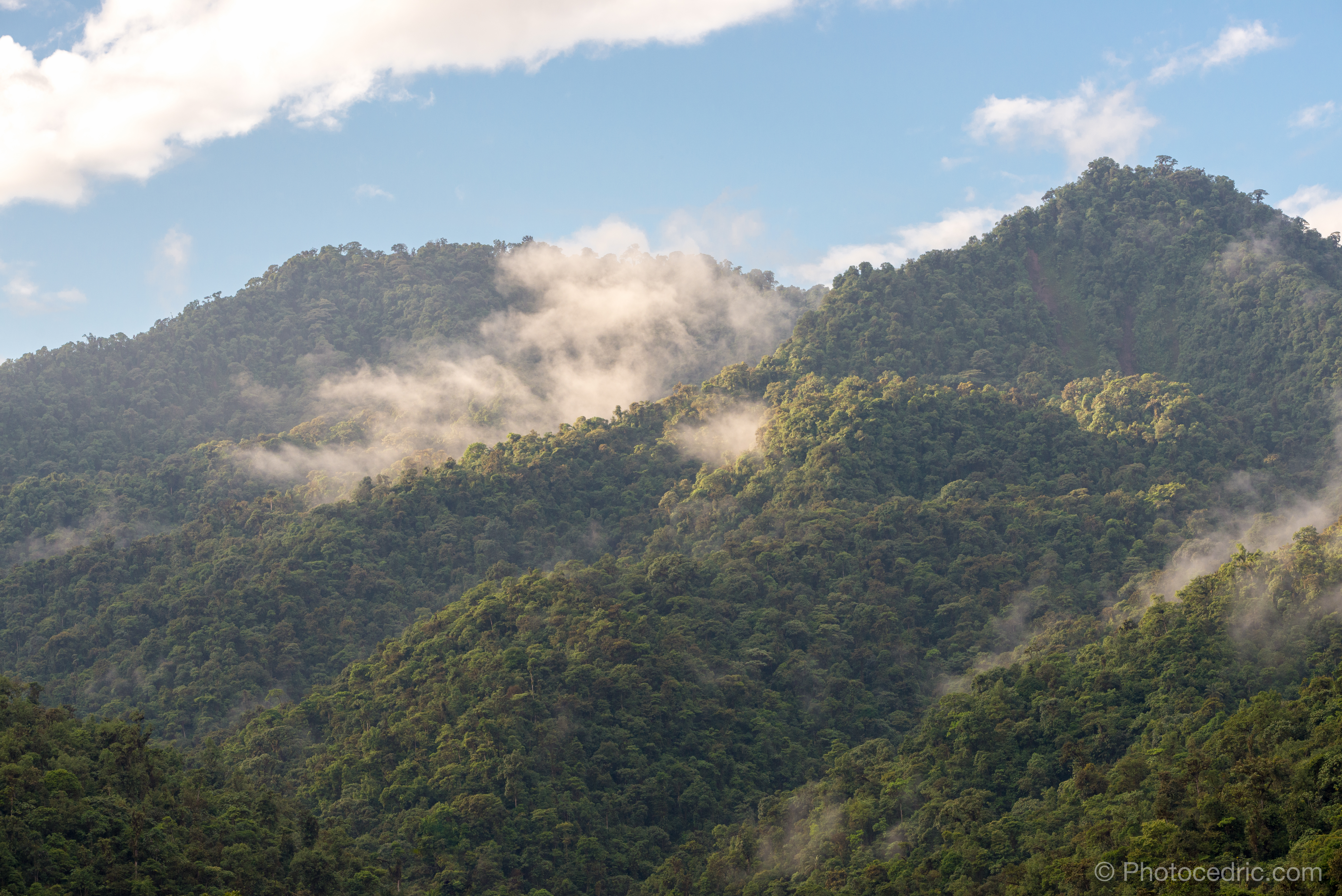
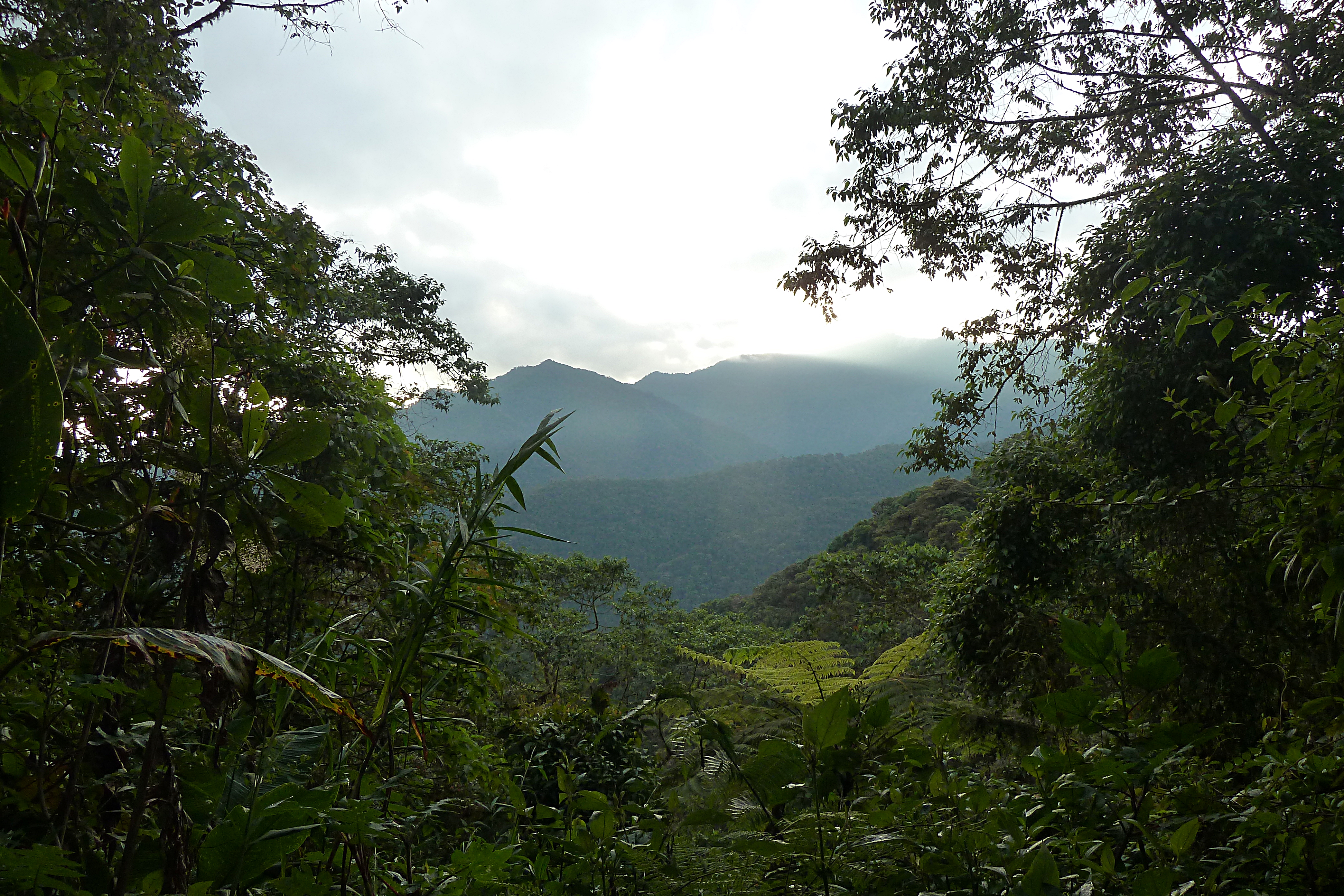
Sunrise over the Cloud Forest
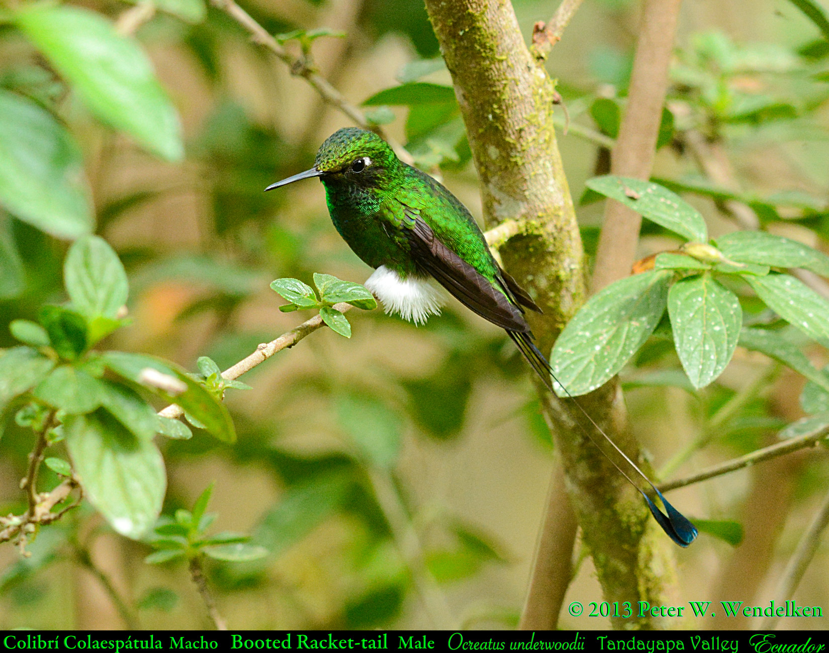
MR. BOOTS. BOOTED RACKET-TAIL Male (hummingbird) Ocreatus underwoodii in the Tandayapa Valley of ECUADOR. Hummingbird Photo by Peter Wendelken.
house, Tandayapa, Ecuador, 2001_08_25.jpg

Tony Nunnery's house, Tandayapa, Ecuador, 2001_08_26 (1 of 1).jpg
Tarabita de Mindo

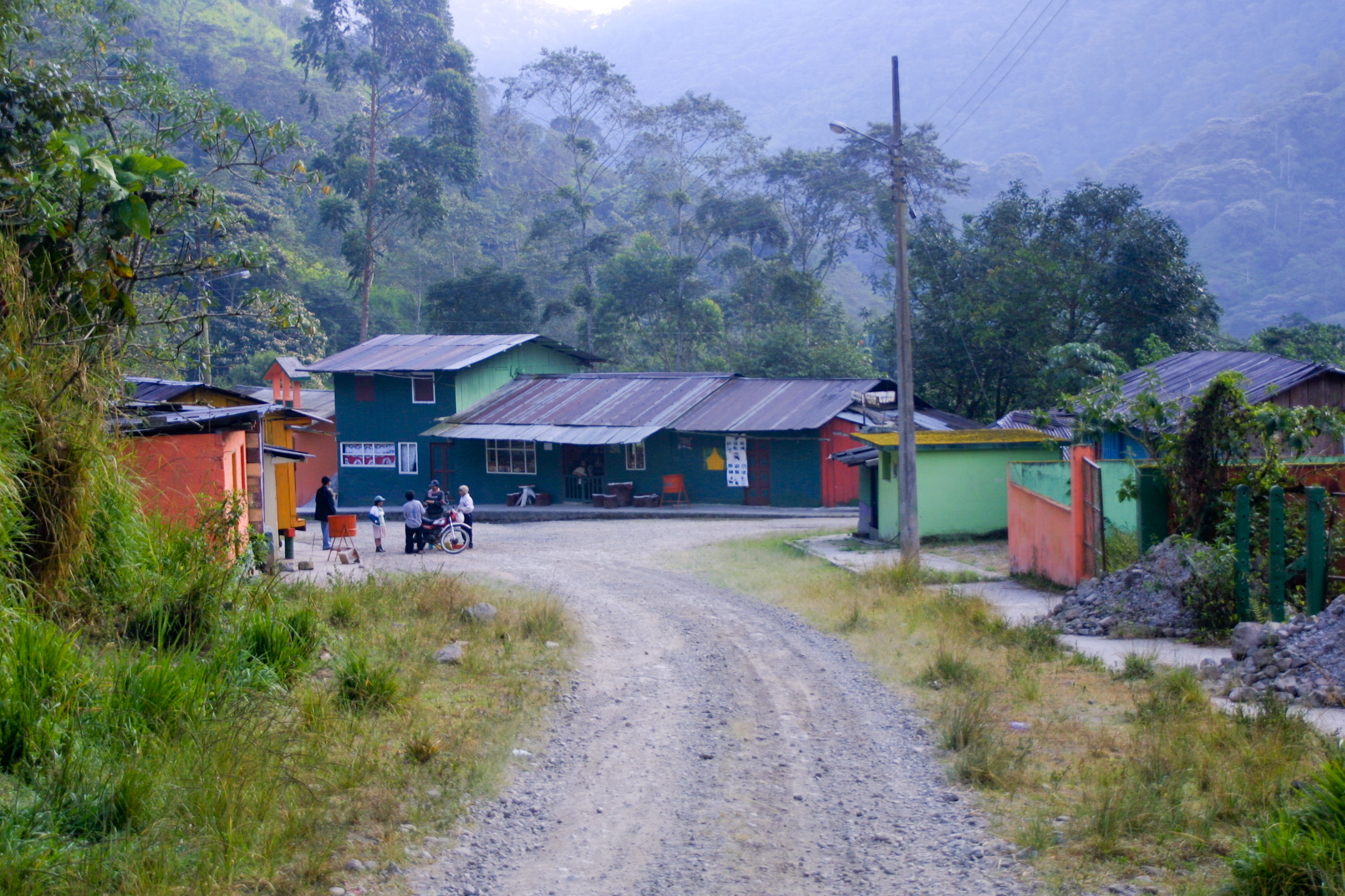
Mindo, Ecuador
Village Scene, Tandayapa, Ecuador, 2001_08_25.jpg
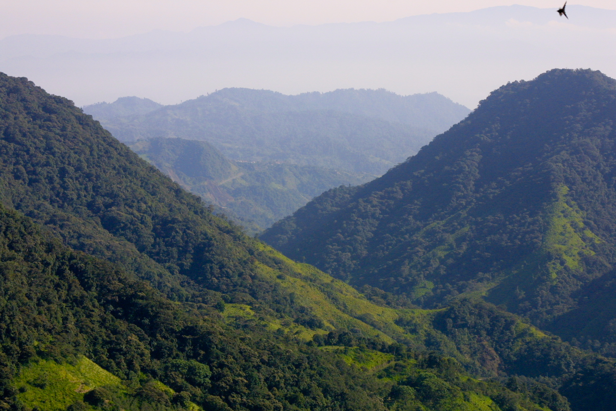
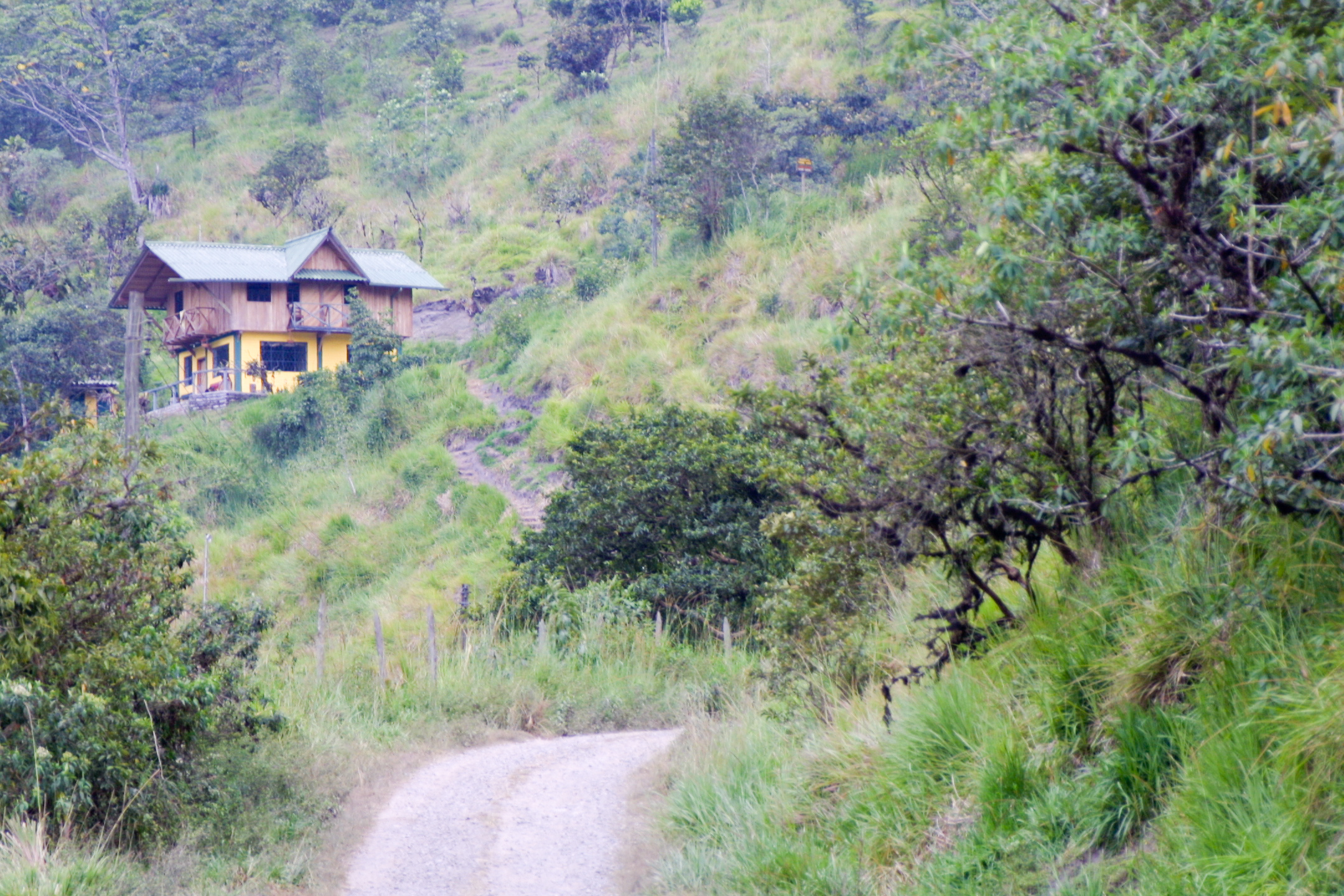
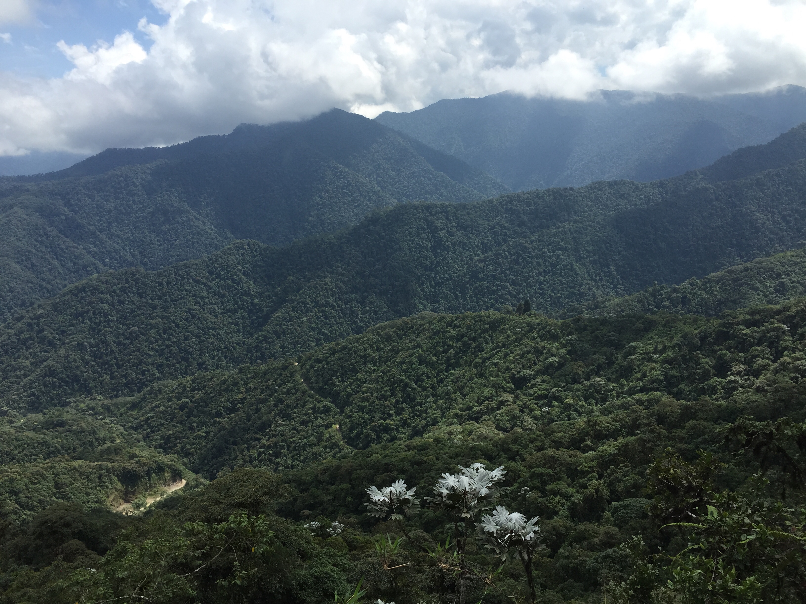
mountain view, Tandayapa, Ecuador, 2001_08_26.jpg
view, Tandayapa, Ecuador, 2001_08_26 (1 of 1).jpg

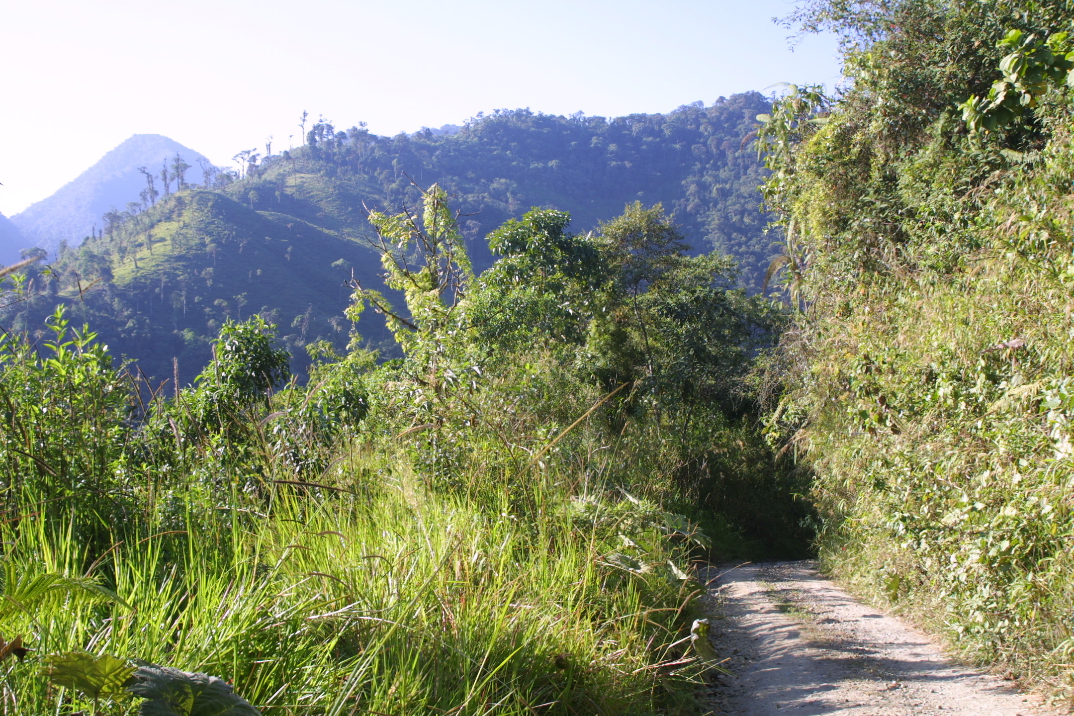
forest view, Tandayapa, Ecuador, 2001_08_25.jpg
View from the hide
Bellavista View 2015-06-06 (1)
This is the view at Pacha Quindi.
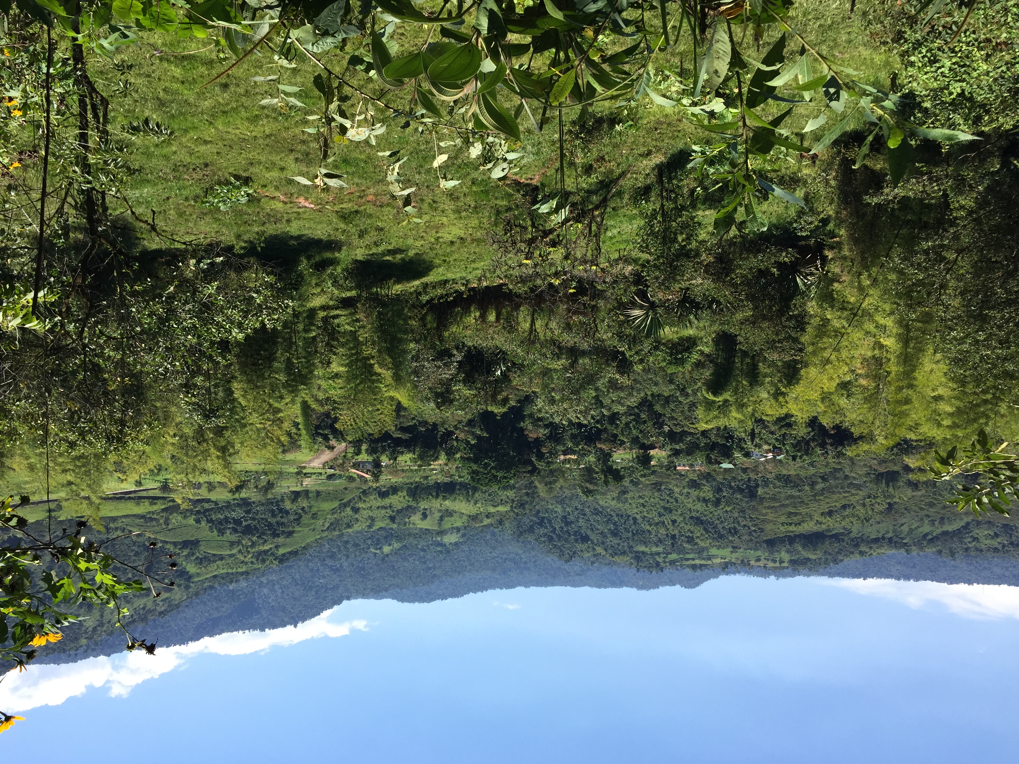
View of Mindo on our hike up to the canopy ziplines
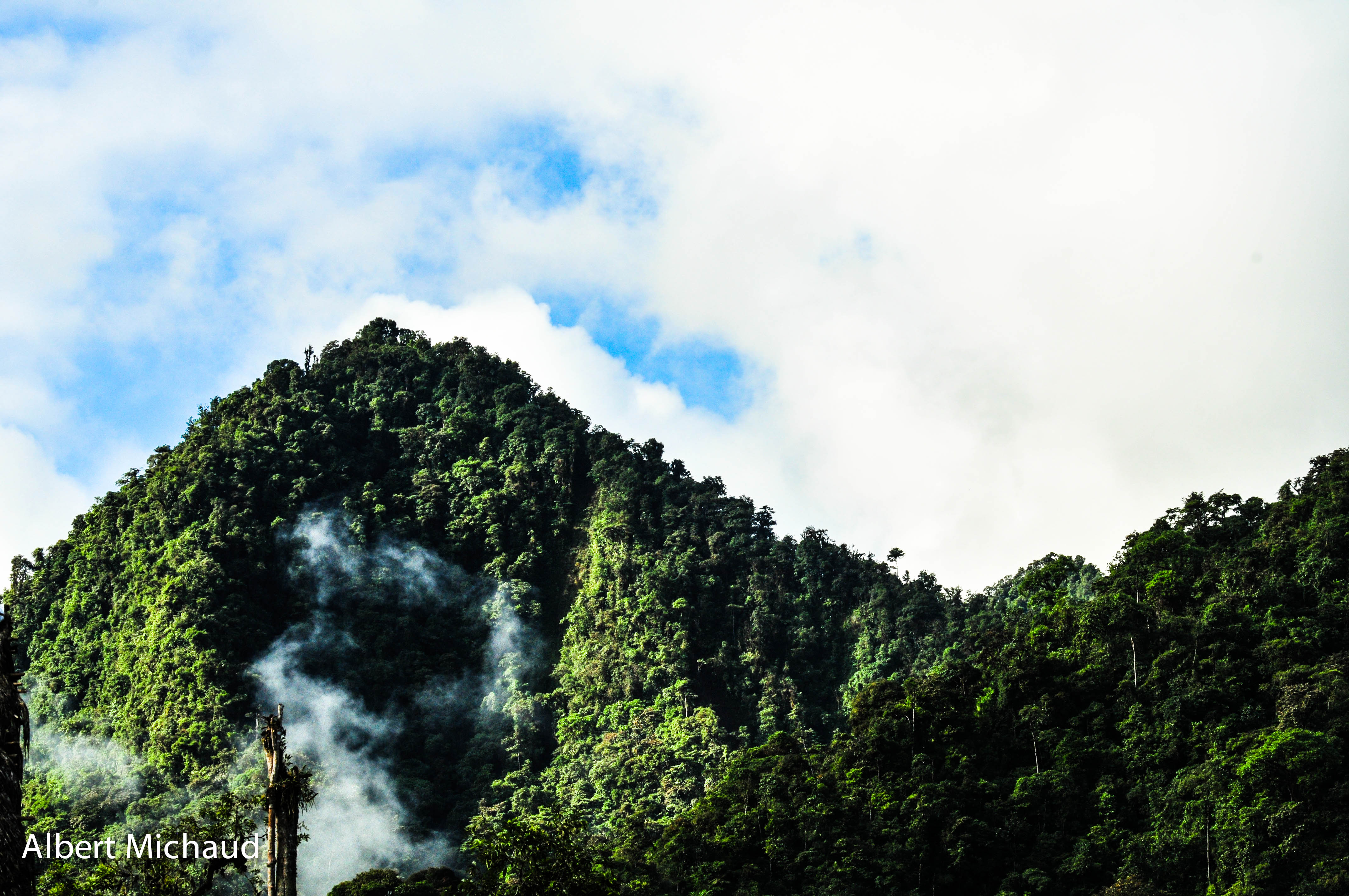
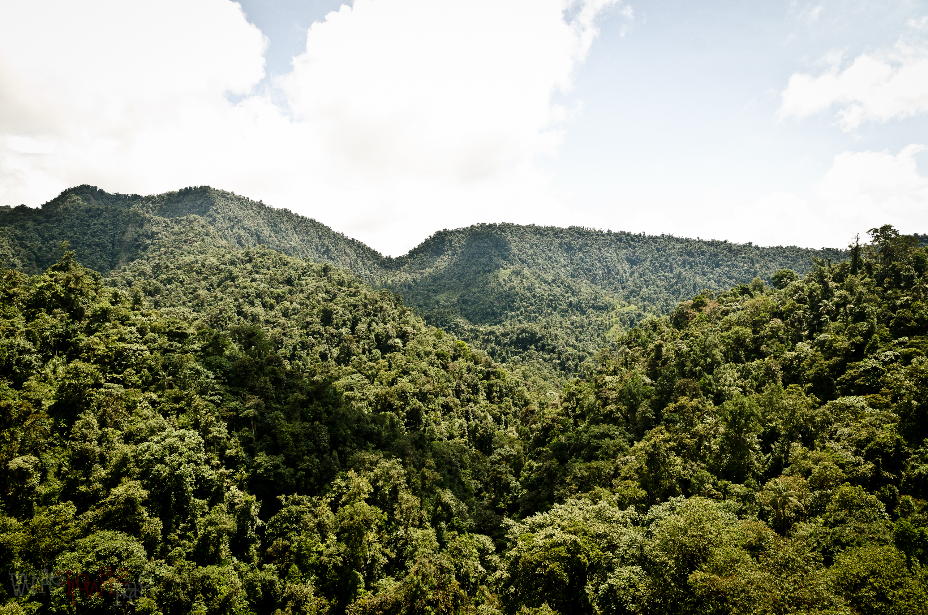
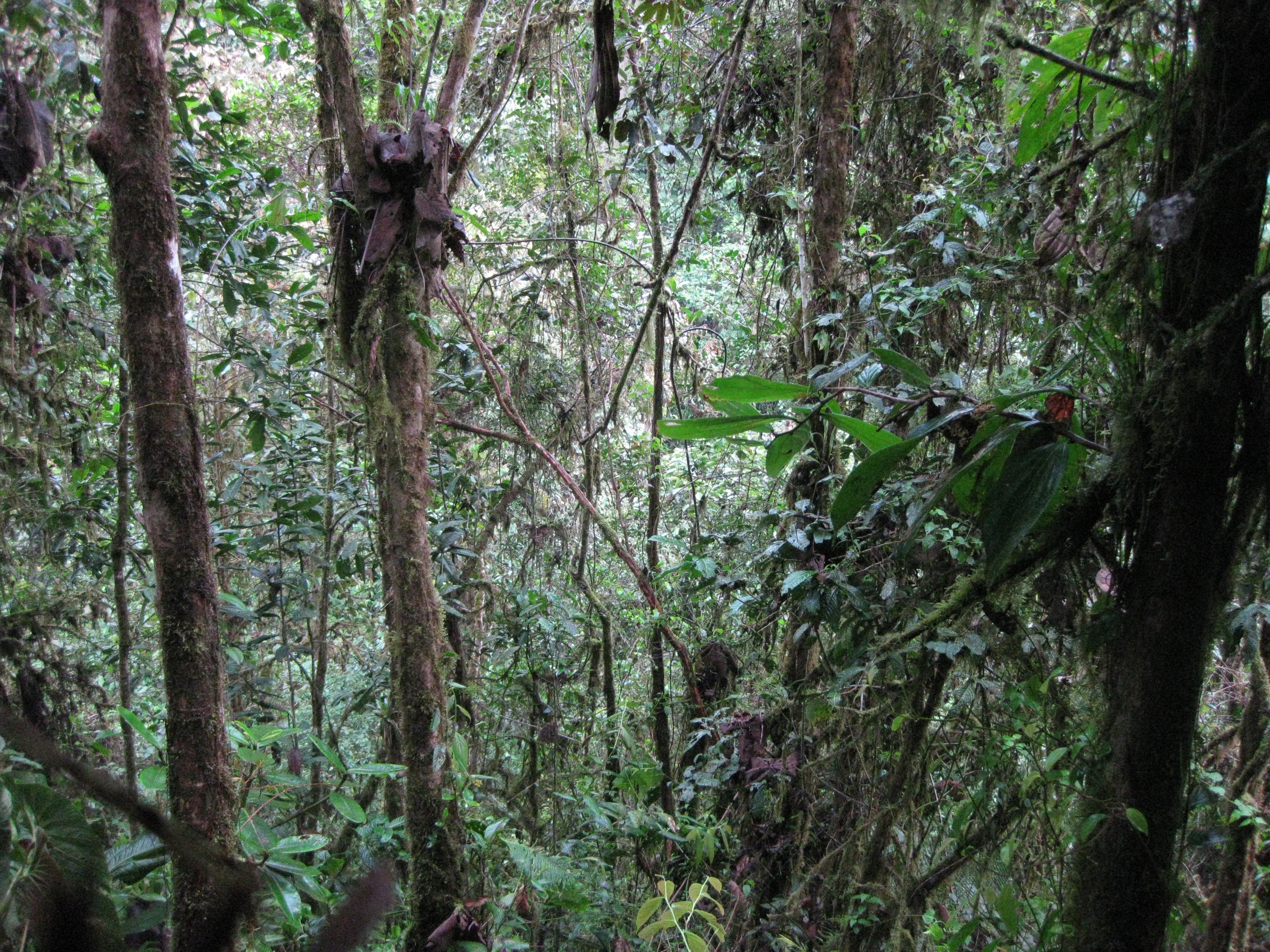
The magic of the Cloud Forest
Km 66 de la via Calacali la Independenci, 厄瓜多爾REFUGIO PAZ DE LAS AVES的地圖
搜索其他地方的日出日落時間
附近地點
Nanegalito, 厄瓜多
Quito, 厄瓜多爾Alambi Reserve
Tandayapa, 厄瓜多爾
厄瓜多爾基多San Jorge Eco-lodge Tandayapa - Hummingbird Sanctuary
厄瓜多爾Tandayapa Bird Lodge
Nanegalito, 厄瓜多爾
Quito, 厄瓜多爾Reserva Pahuma
Nanegal, 厄瓜多爾
Quito, 厄瓜多爾Maquipucuna Cloud Forest Reserve & Ecolodge
Maquipucuna Reserve, Vía a Nanegal, Quito 厄瓜多爾Maquipucuna Reserve & Ecolodge
Yunguilla, 厄瓜多爾
Distrito Metropolitano de Quito, 厄瓜多爾
Calacali, 厄瓜多
厄瓜多爾Mindo Cloudforest Foundation
Calacalí, 厄瓜多爾
E28, Calacalí, 厄瓜多Pululahua Geobotanical Reserve
Pululahua, Quito 厄瓜多爾El Crater Hotel
San Antonio de Pichincha, 厄瓜多爾
厄瓜多科塔卡奇
Malchingui, 厄瓜多
最近搜索
- Leguwa, Nepal的日出日落時間表
- Shustino, Vladimir Oblast, Russia的日出日落時間表
- Lampiasi St, Sarasota, FL, USA的日出日落時間表
- 日本〒- Toyama, Kubomotomachi, 12−31 APAガーデンコート稲荷的日出日落時間表
- 台灣宜蘭縣大同鄉加羅湖的日出日落時間表
- 日本〒- 愛媛縣今治市 Sekizenoge大下港的日出日落時間表
- -1 Sekizenōge, Imabari, Ehime -日本Oge port Ferry Terminal的日出日落時間表
- 阿根廷布宜諾斯艾利斯聖特爾莫區的日出日落時間表
- Congressional Dr, Stevensville, MD 美國的日出日落時間表
- Papingo 04希臘的日出日落時間表