Pine Valley, CA 美國的日出日落時間表
Location: 美國 > 加利福尼亞州 > 聖地牙哥郡 >
時區:
America/Los_Angeles
當地時間:
2025-06-13 01:15:05
經度:
-116.5291841
緯度:
32.8214402
今天日出時間:
05:37:24 AM
今天日落時間:
07:55:19 PM
今天日照時長:
14h 17m 55s
明天日出時間:
05:37:28 AM
明天日落時間:
07:55:41 PM
明天日照時長:
14h 18m 13s
顯示所有日期
| 日期 | 日出 | 日落 | 日照時長 |
|---|---|---|---|
| 2025年01月01日 | 06:48:50 AM | 04:51:50 PM | 10h 3m 0s |
| 2025年01月02日 | 06:48:59 AM | 04:52:36 PM | 10h 3m 37s |
| 2025年01月03日 | 06:49:07 AM | 04:53:23 PM | 10h 4m 16s |
| 2025年01月04日 | 06:49:12 AM | 04:54:11 PM | 10h 4m 59s |
| 2025年01月05日 | 06:49:16 AM | 04:54:59 PM | 10h 5m 43s |
| 2025年01月06日 | 06:49:18 AM | 04:55:49 PM | 10h 6m 31s |
| 2025年01月07日 | 06:49:18 AM | 04:56:39 PM | 10h 7m 21s |
| 2025年01月08日 | 06:49:16 AM | 04:57:30 PM | 10h 8m 14s |
| 2025年01月09日 | 06:49:13 AM | 04:58:22 PM | 10h 9m 9s |
| 2025年01月10日 | 06:49:08 AM | 04:59:15 PM | 10h 10m 7s |
| 2025年01月11日 | 06:49:01 AM | 05:00:08 PM | 10h 11m 7s |
| 2025年01月12日 | 06:48:52 AM | 05:01:01 PM | 10h 12m 9s |
| 2025年01月13日 | 06:48:41 AM | 05:01:55 PM | 10h 13m 14s |
| 2025年01月14日 | 06:48:29 AM | 05:02:50 PM | 10h 14m 21s |
| 2025年01月15日 | 06:48:15 AM | 05:03:45 PM | 10h 15m 30s |
| 2025年01月16日 | 06:47:59 AM | 05:04:40 PM | 10h 16m 41s |
| 2025年01月17日 | 06:47:41 AM | 05:05:36 PM | 10h 17m 55s |
| 2025年01月18日 | 06:47:21 AM | 05:06:32 PM | 10h 19m 11s |
| 2025年01月19日 | 06:47:00 AM | 05:07:28 PM | 10h 20m 28s |
| 2025年01月20日 | 06:46:37 AM | 05:08:25 PM | 10h 21m 48s |
| 2025年01月21日 | 06:46:13 AM | 05:09:21 PM | 10h 23m 8s |
| 2025年01月22日 | 06:45:46 AM | 05:10:18 PM | 10h 24m 32s |
| 2025年01月23日 | 06:45:18 AM | 05:11:15 PM | 10h 25m 57s |
| 2025年01月24日 | 06:44:48 AM | 05:12:12 PM | 10h 27m 24s |
| 2025年01月25日 | 06:44:17 AM | 05:13:09 PM | 10h 28m 52s |
| 2025年01月26日 | 06:43:44 AM | 05:14:06 PM | 10h 30m 22s |
| 2025年01月27日 | 06:43:09 AM | 05:15:03 PM | 10h 31m 54s |
| 2025年01月28日 | 06:42:33 AM | 05:16:00 PM | 10h 33m 27s |
| 2025年01月29日 | 06:41:55 AM | 05:16:57 PM | 10h 35m 2s |
| 2025年01月30日 | 06:41:16 AM | 05:17:54 PM | 10h 36m 38s |
| 2025年01月31日 | 06:40:35 AM | 05:18:51 PM | 10h 38m 16s |
| 2025年02月01日 | 06:39:53 AM | 05:19:47 PM | 10h 39m 54s |
| 2025年02月02日 | 06:39:09 AM | 05:20:43 PM | 10h 41m 34s |
| 2025年02月03日 | 06:38:24 AM | 05:21:40 PM | 10h 43m 16s |
| 2025年02月04日 | 06:37:38 AM | 05:22:36 PM | 10h 44m 58s |
| 2025年02月05日 | 06:36:50 AM | 05:23:31 PM | 10h 46m 41s |
| 2025年02月06日 | 06:36:01 AM | 05:24:27 PM | 10h 48m 26s |
| 2025年02月07日 | 06:35:10 AM | 05:25:22 PM | 10h 50m 12s |
| 2025年02月08日 | 06:34:18 AM | 05:26:17 PM | 10h 51m 59s |
| 2025年02月09日 | 06:33:25 AM | 05:27:12 PM | 10h 53m 47s |
| 2025年02月10日 | 06:32:31 AM | 05:28:06 PM | 10h 55m 35s |
| 2025年02月11日 | 06:31:35 AM | 05:29:00 PM | 10h 57m 25s |
| 2025年02月12日 | 06:30:38 AM | 05:29:54 PM | 10h 59m 16s |
| 2025年02月13日 | 06:29:40 AM | 05:30:47 PM | 11h 1m 7s |
| 2025年02月14日 | 06:28:41 AM | 05:31:40 PM | 11h 2m 59s |
| 2025年02月15日 | 06:27:41 AM | 05:32:33 PM | 11h 4m 52s |
| 2025年02月16日 | 06:26:40 AM | 05:33:25 PM | 11h 6m 45s |
| 2025年02月17日 | 06:25:38 AM | 05:34:17 PM | 11h 8m 39s |
| 2025年02月18日 | 06:24:35 AM | 05:35:09 PM | 11h 10m 34s |
| 2025年02月19日 | 06:23:30 AM | 05:36:00 PM | 11h 12m 30s |
| 2025年02月20日 | 06:22:25 AM | 05:36:51 PM | 11h 14m 26s |
| 2025年02月21日 | 06:21:19 AM | 05:37:42 PM | 11h 16m 23s |
| 2025年02月22日 | 06:20:13 AM | 05:38:32 PM | 11h 18m 19s |
| 2025年02月23日 | 06:19:05 AM | 05:39:22 PM | 11h 20m 17s |
| 2025年02月24日 | 06:17:56 AM | 05:40:11 PM | 11h 22m 15s |
| 2025年02月25日 | 06:16:47 AM | 05:41:00 PM | 11h 24m 13s |
| 2025年02月26日 | 06:15:37 AM | 05:41:49 PM | 11h 26m 12s |
| 2025年02月27日 | 06:14:26 AM | 05:42:38 PM | 11h 28m 12s |
| 2025年02月28日 | 06:13:15 AM | 05:43:26 PM | 11h 30m 11s |
| 2025年03月01日 | 06:12:03 AM | 05:44:14 PM | 11h 32m 11s |
| 2025年03月02日 | 06:10:50 AM | 05:45:01 PM | 11h 34m 11s |
| 2025年03月03日 | 06:09:37 AM | 05:45:48 PM | 11h 36m 11s |
| 2025年03月04日 | 06:08:23 AM | 05:46:35 PM | 11h 38m 12s |
| 2025年03月05日 | 06:07:08 AM | 05:47:22 PM | 11h 40m 14s |
| 2025年03月06日 | 06:05:53 AM | 05:48:08 PM | 11h 42m 15s |
| 2025年03月07日 | 06:04:38 AM | 05:48:54 PM | 11h 44m 16s |
| 2025年03月08日 | 06:03:22 AM | 05:49:40 PM | 11h 46m 18s |
| 2025年03月09日 | 07:02:09 AM | 06:50:23 PM | 11h 48m 14s |
| 2025年03月10日 | 07:00:52 AM | 06:51:08 PM | 11h 50m 16s |
| 2025年03月11日 | 06:59:35 AM | 06:51:53 PM | 11h 52m 18s |
| 2025年03月12日 | 06:58:18 AM | 06:52:38 PM | 11h 54m 20s |
| 2025年03月13日 | 06:57:00 AM | 06:53:23 PM | 11h 56m 23s |
| 2025年03月14日 | 06:55:42 AM | 06:54:07 PM | 11h 58m 25s |
| 2025年03月15日 | 06:54:24 AM | 06:54:51 PM | 12h 0m 27s |
| 2025年03月16日 | 06:53:05 AM | 06:55:35 PM | 12h 2m 30s |
| 2025年03月17日 | 06:51:47 AM | 06:56:19 PM | 12h 4m 32s |
| 2025年03月18日 | 06:50:28 AM | 06:57:03 PM | 12h 6m 35s |
| 2025年03月19日 | 06:49:09 AM | 06:57:46 PM | 12h 8m 37s |
| 2025年03月20日 | 06:47:50 AM | 06:58:29 PM | 12h 10m 39s |
| 2025年03月21日 | 06:46:31 AM | 06:59:12 PM | 12h 12m 41s |
| 2025年03月22日 | 06:45:12 AM | 06:59:56 PM | 12h 14m 44s |
| 2025年03月23日 | 06:43:53 AM | 07:00:39 PM | 12h 16m 46s |
| 2025年03月24日 | 06:42:34 AM | 07:01:21 PM | 12h 18m 47s |
| 2025年03月25日 | 06:41:15 AM | 07:02:04 PM | 12h 20m 49s |
| 2025年03月26日 | 06:39:56 AM | 07:02:47 PM | 12h 22m 51s |
| 2025年03月27日 | 06:38:37 AM | 07:03:30 PM | 12h 24m 53s |
| 2025年03月28日 | 06:37:18 AM | 07:04:12 PM | 12h 26m 54s |
| 2025年03月29日 | 06:36:00 AM | 07:04:55 PM | 12h 28m 55s |
| 2025年03月30日 | 06:34:41 AM | 07:05:37 PM | 12h 30m 56s |
| 2025年03月31日 | 06:33:23 AM | 07:06:20 PM | 12h 32m 57s |
| 2025年04月01日 | 06:32:05 AM | 07:07:03 PM | 12h 34m 58s |
| 2025年04月02日 | 06:30:48 AM | 07:07:45 PM | 12h 36m 57s |
| 2025年04月03日 | 06:29:30 AM | 07:08:28 PM | 12h 38m 58s |
| 2025年04月04日 | 06:28:13 AM | 07:09:10 PM | 12h 40m 57s |
| 2025年04月05日 | 06:26:57 AM | 07:09:53 PM | 12h 42m 56s |
| 2025年04月06日 | 06:25:40 AM | 07:10:36 PM | 12h 44m 56s |
| 2025年04月07日 | 06:24:25 AM | 07:11:18 PM | 12h 46m 53s |
| 2025年04月08日 | 06:23:09 AM | 07:12:01 PM | 12h 48m 52s |
| 2025年04月09日 | 06:21:54 AM | 07:12:44 PM | 12h 50m 50s |
| 2025年04月10日 | 06:20:40 AM | 07:13:27 PM | 12h 52m 47s |
| 2025年04月11日 | 06:19:26 AM | 07:14:10 PM | 12h 54m 44s |
| 2025年04月12日 | 06:18:13 AM | 07:14:53 PM | 12h 56m 40s |
| 2025年04月13日 | 06:17:00 AM | 07:15:36 PM | 12h 58m 36s |
| 2025年04月14日 | 06:15:48 AM | 07:16:19 PM | 13h 0m 31s |
| 2025年04月15日 | 06:14:36 AM | 07:17:02 PM | 13h 2m 26s |
| 2025年04月16日 | 06:13:26 AM | 07:17:46 PM | 13h 4m 20s |
| 2025年04月17日 | 06:12:15 AM | 07:18:29 PM | 13h 6m 14s |
| 2025年04月18日 | 06:11:06 AM | 07:19:13 PM | 13h 8m 7s |
| 2025年04月19日 | 06:09:57 AM | 07:19:56 PM | 13h 9m 59s |
| 2025年04月20日 | 06:08:50 AM | 07:20:40 PM | 13h 11m 50s |
| 2025年04月21日 | 06:07:43 AM | 07:21:24 PM | 13h 13m 41s |
| 2025年04月22日 | 06:06:36 AM | 07:22:08 PM | 13h 15m 32s |
| 2025年04月23日 | 06:05:31 AM | 07:22:52 PM | 13h 17m 21s |
| 2025年04月24日 | 06:04:26 AM | 07:23:36 PM | 13h 19m 10s |
| 2025年04月25日 | 06:03:23 AM | 07:24:20 PM | 13h 20m 57s |
| 2025年04月26日 | 06:02:20 AM | 07:25:04 PM | 13h 22m 44s |
| 2025年04月27日 | 06:01:19 AM | 07:25:48 PM | 13h 24m 29s |
| 2025年04月28日 | 06:00:18 AM | 07:26:32 PM | 13h 26m 14s |
| 2025年04月29日 | 05:59:18 AM | 07:27:16 PM | 13h 27m 58s |
| 2025年04月30日 | 05:58:20 AM | 07:28:01 PM | 13h 29m 41s |
| 2025年05月01日 | 05:57:22 AM | 07:28:45 PM | 13h 31m 23s |
| 2025年05月02日 | 05:56:26 AM | 07:29:29 PM | 13h 33m 3s |
| 2025年05月03日 | 05:55:30 AM | 07:30:14 PM | 13h 34m 44s |
| 2025年05月04日 | 05:54:36 AM | 07:30:58 PM | 13h 36m 22s |
| 2025年05月05日 | 05:53:43 AM | 07:31:42 PM | 13h 37m 59s |
| 2025年05月06日 | 05:52:51 AM | 07:32:26 PM | 13h 39m 35s |
| 2025年05月07日 | 05:52:01 AM | 07:33:10 PM | 13h 41m 9s |
| 2025年05月08日 | 05:51:11 AM | 07:33:54 PM | 13h 42m 43s |
| 2025年05月09日 | 05:50:23 AM | 07:34:38 PM | 13h 44m 15s |
| 2025年05月10日 | 05:49:37 AM | 07:35:22 PM | 13h 45m 45s |
| 2025年05月11日 | 05:48:51 AM | 07:36:06 PM | 13h 47m 15s |
| 2025年05月12日 | 05:48:07 AM | 07:36:49 PM | 13h 48m 42s |
| 2025年05月13日 | 05:47:24 AM | 07:37:32 PM | 13h 50m 8s |
| 2025年05月14日 | 05:46:42 AM | 07:38:15 PM | 13h 51m 33s |
| 2025年05月15日 | 05:46:02 AM | 07:38:58 PM | 13h 52m 56s |
| 2025年05月16日 | 05:45:24 AM | 07:39:40 PM | 13h 54m 16s |
| 2025年05月17日 | 05:44:46 AM | 07:40:22 PM | 13h 55m 36s |
| 2025年05月18日 | 05:44:10 AM | 07:41:04 PM | 13h 56m 54s |
| 2025年05月19日 | 05:43:36 AM | 07:41:46 PM | 13h 58m 10s |
| 2025年05月20日 | 05:43:03 AM | 07:42:27 PM | 13h 59m 24s |
| 2025年05月21日 | 05:42:31 AM | 07:43:08 PM | 14h 0m 37s |
| 2025年05月22日 | 05:42:01 AM | 07:43:48 PM | 14h 1m 47s |
| 2025年05月23日 | 05:41:33 AM | 07:44:27 PM | 14h 2m 54s |
| 2025年05月24日 | 05:41:06 AM | 07:45:07 PM | 14h 4m 1s |
| 2025年05月25日 | 05:40:40 AM | 07:45:45 PM | 14h 5m 5s |
| 2025年05月26日 | 05:40:16 AM | 07:46:24 PM | 14h 6m 8s |
| 2025年05月27日 | 05:39:54 AM | 07:47:01 PM | 14h 7m 7s |
| 2025年05月28日 | 05:39:33 AM | 07:47:38 PM | 14h 8m 5s |
| 2025年05月29日 | 05:39:13 AM | 07:48:14 PM | 14h 9m 1s |
| 2025年05月30日 | 05:38:55 AM | 07:48:50 PM | 14h 9m 55s |
| 2025年05月31日 | 05:38:39 AM | 07:49:24 PM | 14h 10m 45s |
| 2025年06月01日 | 05:38:24 AM | 07:49:58 PM | 14h 11m 34s |
| 2025年06月02日 | 05:38:11 AM | 07:50:31 PM | 14h 12m 20s |
| 2025年06月03日 | 05:37:59 AM | 07:51:04 PM | 14h 13m 5s |
| 2025年06月04日 | 05:37:49 AM | 07:51:35 PM | 14h 13m 46s |
| 2025年06月05日 | 05:37:41 AM | 07:52:06 PM | 14h 14m 25s |
| 2025年06月06日 | 05:37:34 AM | 07:52:35 PM | 14h 15m 1s |
| 2025年06月07日 | 05:37:28 AM | 07:53:04 PM | 14h 15m 36s |
| 2025年06月08日 | 05:37:24 AM | 07:53:32 PM | 14h 16m 8s |
| 2025年06月09日 | 05:37:21 AM | 07:53:58 PM | 14h 16m 37s |
| 2025年06月10日 | 05:37:20 AM | 07:54:24 PM | 14h 17m 4s |
| 2025年06月11日 | 05:37:21 AM | 07:54:48 PM | 14h 17m 27s |
| 2025年06月12日 | 05:37:23 AM | 07:55:11 PM | 14h 17m 48s |
| 2025年06月13日 | 05:37:26 AM | 07:55:33 PM | 14h 18m 7s |
| 2025年06月14日 | 05:37:31 AM | 07:55:54 PM | 14h 18m 23s |
| 2025年06月15日 | 05:37:37 AM | 07:56:14 PM | 14h 18m 37s |
| 2025年06月16日 | 05:37:45 AM | 07:56:32 PM | 14h 18m 47s |
| 2025年06月17日 | 05:37:54 AM | 07:56:49 PM | 14h 18m 55s |
| 2025年06月18日 | 05:38:05 AM | 07:57:05 PM | 14h 19m 0s |
| 2025年06月19日 | 05:38:16 AM | 07:57:19 PM | 14h 19m 3s |
| 2025年06月20日 | 05:38:29 AM | 07:57:32 PM | 14h 19m 3s |
| 2025年06月21日 | 05:38:44 AM | 07:57:44 PM | 14h 19m 0s |
| 2025年06月22日 | 05:38:59 AM | 07:57:54 PM | 14h 18m 55s |
| 2025年06月23日 | 05:39:16 AM | 07:58:03 PM | 14h 18m 47s |
| 2025年06月24日 | 05:39:34 AM | 07:58:10 PM | 14h 18m 36s |
| 2025年06月25日 | 05:39:54 AM | 07:58:16 PM | 14h 18m 22s |
| 2025年06月26日 | 05:40:14 AM | 07:58:21 PM | 14h 18m 7s |
| 2025年06月27日 | 05:40:36 AM | 07:58:23 PM | 14h 17m 47s |
| 2025年06月28日 | 05:40:58 AM | 07:58:25 PM | 14h 17m 27s |
| 2025年06月29日 | 05:41:22 AM | 07:58:25 PM | 14h 17m 3s |
| 2025年06月30日 | 05:41:47 AM | 07:58:23 PM | 14h 16m 36s |
| 2025年07月01日 | 05:42:13 AM | 07:58:20 PM | 14h 16m 7s |
| 2025年07月02日 | 05:42:40 AM | 07:58:15 PM | 14h 15m 35s |
| 2025年07月03日 | 05:43:07 AM | 07:58:09 PM | 14h 15m 2s |
| 2025年07月04日 | 05:43:36 AM | 07:58:01 PM | 14h 14m 25s |
| 2025年07月05日 | 05:44:05 AM | 07:57:51 PM | 14h 13m 46s |
| 2025年07月06日 | 05:44:36 AM | 07:57:40 PM | 14h 13m 4s |
| 2025年07月07日 | 05:45:07 AM | 07:57:28 PM | 14h 12m 21s |
| 2025年07月08日 | 05:45:39 AM | 07:57:13 PM | 14h 11m 34s |
| 2025年07月09日 | 05:46:12 AM | 07:56:58 PM | 14h 10m 46s |
| 2025年07月10日 | 05:46:45 AM | 07:56:40 PM | 14h 9m 55s |
| 2025年07月11日 | 05:47:19 AM | 07:56:21 PM | 14h 9m 2s |
| 2025年07月12日 | 05:47:54 AM | 07:56:01 PM | 14h 8m 7s |
| 2025年07月13日 | 05:48:29 AM | 07:55:38 PM | 14h 7m 9s |
| 2025年07月14日 | 05:49:05 AM | 07:55:15 PM | 14h 6m 10s |
| 2025年07月15日 | 05:49:41 AM | 07:54:49 PM | 14h 5m 8s |
| 2025年07月16日 | 05:50:18 AM | 07:54:23 PM | 14h 4m 5s |
| 2025年07月17日 | 05:50:55 AM | 07:53:54 PM | 14h 2m 59s |
| 2025年07月18日 | 05:51:33 AM | 07:53:24 PM | 14h 1m 51s |
| 2025年07月19日 | 05:52:11 AM | 07:52:53 PM | 14h 0m 42s |
| 2025年07月20日 | 05:52:50 AM | 07:52:20 PM | 13h 59m 30s |
| 2025年07月21日 | 05:53:29 AM | 07:51:45 PM | 13h 58m 16s |
| 2025年07月22日 | 05:54:08 AM | 07:51:10 PM | 13h 57m 2s |
| 2025年07月23日 | 05:54:47 AM | 07:50:32 PM | 13h 55m 45s |
| 2025年07月24日 | 05:55:27 AM | 07:49:53 PM | 13h 54m 26s |
| 2025年07月25日 | 05:56:07 AM | 07:49:13 PM | 13h 53m 6s |
| 2025年07月26日 | 05:56:47 AM | 07:48:31 PM | 13h 51m 44s |
| 2025年07月27日 | 05:57:28 AM | 07:47:48 PM | 13h 50m 20s |
| 2025年07月28日 | 05:58:09 AM | 07:47:04 PM | 13h 48m 55s |
| 2025年07月29日 | 05:58:49 AM | 07:46:18 PM | 13h 47m 29s |
| 2025年07月30日 | 05:59:30 AM | 07:45:31 PM | 13h 46m 1s |
| 2025年07月31日 | 06:00:11 AM | 07:44:42 PM | 13h 44m 31s |
| 2025年08月01日 | 06:00:52 AM | 07:43:53 PM | 13h 43m 1s |
| 2025年08月02日 | 06:01:33 AM | 07:43:02 PM | 13h 41m 29s |
| 2025年08月03日 | 06:02:14 AM | 07:42:09 PM | 13h 39m 55s |
| 2025年08月04日 | 06:02:56 AM | 07:41:16 PM | 13h 38m 20s |
| 2025年08月05日 | 06:03:37 AM | 07:40:21 PM | 13h 36m 44s |
| 2025年08月06日 | 06:04:18 AM | 07:39:25 PM | 13h 35m 7s |
| 2025年08月07日 | 06:04:59 AM | 07:38:28 PM | 13h 33m 29s |
| 2025年08月08日 | 06:05:40 AM | 07:37:30 PM | 13h 31m 50s |
| 2025年08月09日 | 06:06:21 AM | 07:36:31 PM | 13h 30m 10s |
| 2025年08月10日 | 06:07:02 AM | 07:35:30 PM | 13h 28m 28s |
| 2025年08月11日 | 06:07:43 AM | 07:34:29 PM | 13h 26m 46s |
| 2025年08月12日 | 06:08:24 AM | 07:33:26 PM | 13h 25m 2s |
| 2025年08月13日 | 06:09:05 AM | 07:32:23 PM | 13h 23m 18s |
| 2025年08月14日 | 06:09:46 AM | 07:31:19 PM | 13h 21m 33s |
| 2025年08月15日 | 06:10:26 AM | 07:30:13 PM | 13h 19m 47s |
| 2025年08月16日 | 06:11:07 AM | 07:29:07 PM | 13h 18m 0s |
| 2025年08月17日 | 06:11:47 AM | 07:28:00 PM | 13h 16m 13s |
| 2025年08月18日 | 06:12:27 AM | 07:26:52 PM | 13h 14m 25s |
| 2025年08月19日 | 06:13:08 AM | 07:25:43 PM | 13h 12m 35s |
| 2025年08月20日 | 06:13:48 AM | 07:24:33 PM | 13h 10m 45s |
| 2025年08月21日 | 06:14:28 AM | 07:23:22 PM | 13h 8m 54s |
| 2025年08月22日 | 06:15:07 AM | 07:22:11 PM | 13h 7m 4s |
| 2025年08月23日 | 06:15:47 AM | 07:20:59 PM | 13h 5m 12s |
| 2025年08月24日 | 06:16:27 AM | 07:19:46 PM | 13h 3m 19s |
| 2025年08月25日 | 06:17:06 AM | 07:18:33 PM | 13h 1m 27s |
| 2025年08月26日 | 06:17:45 AM | 07:17:19 PM | 12h 59m 34s |
| 2025年08月27日 | 06:18:25 AM | 07:16:04 PM | 12h 57m 39s |
| 2025年08月28日 | 06:19:04 AM | 07:14:49 PM | 12h 55m 45s |
| 2025年08月29日 | 06:19:43 AM | 07:13:33 PM | 12h 53m 50s |
| 2025年08月30日 | 06:20:22 AM | 07:12:16 PM | 12h 51m 54s |
| 2025年08月31日 | 06:21:01 AM | 07:10:59 PM | 12h 49m 58s |
| 2025年09月01日 | 06:21:39 AM | 07:09:42 PM | 12h 48m 3s |
| 2025年09月02日 | 06:22:18 AM | 07:08:24 PM | 12h 46m 6s |
| 2025年09月03日 | 06:22:57 AM | 07:07:06 PM | 12h 44m 9s |
| 2025年09月04日 | 06:23:35 AM | 07:05:47 PM | 12h 42m 12s |
| 2025年09月05日 | 06:24:14 AM | 07:04:28 PM | 12h 40m 14s |
| 2025年09月06日 | 06:24:52 AM | 07:03:08 PM | 12h 38m 16s |
| 2025年09月07日 | 06:25:30 AM | 07:01:48 PM | 12h 36m 18s |
| 2025年09月08日 | 06:26:09 AM | 07:00:28 PM | 12h 34m 19s |
| 2025年09月09日 | 06:26:47 AM | 06:59:08 PM | 12h 32m 21s |
| 2025年09月10日 | 06:27:26 AM | 06:57:47 PM | 12h 30m 21s |
| 2025年09月11日 | 06:28:04 AM | 06:56:26 PM | 12h 28m 22s |
| 2025年09月12日 | 06:28:42 AM | 06:55:05 PM | 12h 26m 23s |
| 2025年09月13日 | 06:29:21 AM | 06:53:44 PM | 12h 24m 23s |
| 2025年09月14日 | 06:29:59 AM | 06:52:23 PM | 12h 22m 24s |
| 2025年09月15日 | 06:30:38 AM | 06:51:02 PM | 12h 20m 24s |
| 2025年09月16日 | 06:31:16 AM | 06:49:40 PM | 12h 18m 24s |
| 2025年09月17日 | 06:31:55 AM | 06:48:19 PM | 12h 16m 24s |
| 2025年09月18日 | 06:32:33 AM | 06:46:57 PM | 12h 14m 24s |
| 2025年09月19日 | 06:33:12 AM | 06:45:36 PM | 12h 12m 24s |
| 2025年09月20日 | 06:33:51 AM | 06:44:14 PM | 12h 10m 23s |
| 2025年09月21日 | 06:34:30 AM | 06:42:53 PM | 12h 8m 23s |
| 2025年09月22日 | 06:35:09 AM | 06:41:32 PM | 12h 6m 23s |
| 2025年09月23日 | 06:35:49 AM | 06:40:10 PM | 12h 4m 21s |
| 2025年09月24日 | 06:36:28 AM | 06:38:49 PM | 12h 2m 21s |
| 2025年09月25日 | 06:37:08 AM | 06:37:29 PM | 12h 0m 21s |
| 2025年09月26日 | 06:37:48 AM | 06:36:08 PM | 11h 58m 20s |
| 2025年09月27日 | 06:38:28 AM | 06:34:48 PM | 11h 56m 20s |
| 2025年09月28日 | 06:39:08 AM | 06:33:27 PM | 11h 54m 19s |
| 2025年09月29日 | 06:39:48 AM | 06:32:08 PM | 11h 52m 20s |
| 2025年09月30日 | 06:40:29 AM | 06:30:48 PM | 11h 50m 19s |
| 2025年10月01日 | 06:41:10 AM | 06:29:29 PM | 11h 48m 19s |
| 2025年10月02日 | 06:41:51 AM | 06:28:10 PM | 11h 46m 19s |
| 2025年10月03日 | 06:42:33 AM | 06:26:52 PM | 11h 44m 19s |
| 2025年10月04日 | 06:43:15 AM | 06:25:34 PM | 11h 42m 19s |
| 2025年10月05日 | 06:43:57 AM | 06:24:17 PM | 11h 40m 20s |
| 2025年10月06日 | 06:44:39 AM | 06:23:00 PM | 11h 38m 21s |
| 2025年10月07日 | 06:45:22 AM | 06:21:44 PM | 11h 36m 22s |
| 2025年10月08日 | 06:46:05 AM | 06:20:28 PM | 11h 34m 23s |
| 2025年10月09日 | 06:46:48 AM | 06:19:13 PM | 11h 32m 25s |
| 2025年10月10日 | 06:47:32 AM | 06:17:58 PM | 11h 30m 26s |
| 2025年10月11日 | 06:48:16 AM | 06:16:44 PM | 11h 28m 28s |
| 2025年10月12日 | 06:49:00 AM | 06:15:31 PM | 11h 26m 31s |
| 2025年10月13日 | 06:49:45 AM | 06:14:18 PM | 11h 24m 33s |
| 2025年10月14日 | 06:50:30 AM | 06:13:06 PM | 11h 22m 36s |
| 2025年10月15日 | 06:51:15 AM | 06:11:55 PM | 11h 20m 40s |
| 2025年10月16日 | 06:52:01 AM | 06:10:45 PM | 11h 18m 44s |
| 2025年10月17日 | 06:52:47 AM | 06:09:36 PM | 11h 16m 49s |
| 2025年10月18日 | 06:53:34 AM | 06:08:27 PM | 11h 14m 53s |
| 2025年10月19日 | 06:54:21 AM | 06:07:20 PM | 11h 12m 59s |
| 2025年10月20日 | 06:55:08 AM | 06:06:13 PM | 11h 11m 5s |
| 2025年10月21日 | 06:55:56 AM | 06:05:07 PM | 11h 9m 11s |
| 2025年10月22日 | 06:56:44 AM | 06:04:02 PM | 11h 7m 18s |
| 2025年10月23日 | 06:57:32 AM | 06:02:59 PM | 11h 5m 27s |
| 2025年10月24日 | 06:58:21 AM | 06:01:56 PM | 11h 3m 35s |
| 2025年10月25日 | 06:59:10 AM | 06:00:54 PM | 11h 1m 44s |
| 2025年10月26日 | 07:00:00 AM | 05:59:54 PM | 10h 59m 54s |
| 2025年10月27日 | 07:00:50 AM | 05:58:54 PM | 10h 58m 4s |
| 2025年10月28日 | 07:01:40 AM | 05:57:56 PM | 10h 56m 16s |
| 2025年10月29日 | 07:02:31 AM | 05:56:59 PM | 10h 54m 28s |
| 2025年10月30日 | 07:03:22 AM | 05:56:03 PM | 10h 52m 41s |
| 2025年10月31日 | 07:04:13 AM | 05:55:08 PM | 10h 50m 55s |
| 2025年11月01日 | 07:05:05 AM | 05:54:15 PM | 10h 49m 10s |
| 2025年11月02日 | 06:05:59 AM | 04:53:21 PM | 10h 47m 22s |
| 2025年11月03日 | 06:06:51 AM | 04:52:30 PM | 10h 45m 39s |
| 2025年11月04日 | 06:07:44 AM | 04:51:41 PM | 10h 43m 57s |
| 2025年11月05日 | 06:08:37 AM | 04:50:53 PM | 10h 42m 16s |
| 2025年11月06日 | 06:09:30 AM | 04:50:07 PM | 10h 40m 37s |
| 2025年11月07日 | 06:10:23 AM | 04:49:22 PM | 10h 38m 59s |
| 2025年11月08日 | 06:11:17 AM | 04:48:39 PM | 10h 37m 22s |
| 2025年11月09日 | 06:12:11 AM | 04:47:57 PM | 10h 35m 46s |
| 2025年11月10日 | 06:13:05 AM | 04:47:16 PM | 10h 34m 11s |
| 2025年11月11日 | 06:13:59 AM | 04:46:37 PM | 10h 32m 38s |
| 2025年11月12日 | 06:14:53 AM | 04:46:00 PM | 10h 31m 7s |
| 2025年11月13日 | 06:15:47 AM | 04:45:24 PM | 10h 29m 37s |
| 2025年11月14日 | 06:16:42 AM | 04:44:50 PM | 10h 28m 8s |
| 2025年11月15日 | 06:17:36 AM | 04:44:18 PM | 10h 26m 42s |
| 2025年11月16日 | 06:18:30 AM | 04:43:47 PM | 10h 25m 17s |
| 2025年11月17日 | 06:19:25 AM | 04:43:18 PM | 10h 23m 53s |
| 2025年11月18日 | 06:20:19 AM | 04:42:51 PM | 10h 22m 32s |
| 2025年11月19日 | 06:21:13 AM | 04:42:25 PM | 10h 21m 12s |
| 2025年11月20日 | 06:22:07 AM | 04:42:01 PM | 10h 19m 54s |
| 2025年11月21日 | 06:23:01 AM | 04:41:39 PM | 10h 18m 38s |
| 2025年11月22日 | 06:23:55 AM | 04:41:19 PM | 10h 17m 24s |
| 2025年11月23日 | 06:24:48 AM | 04:41:00 PM | 10h 16m 12s |
| 2025年11月24日 | 06:25:42 AM | 04:40:43 PM | 10h 15m 1s |
| 2025年11月25日 | 06:26:34 AM | 04:40:28 PM | 10h 13m 54s |
| 2025年11月26日 | 06:27:27 AM | 04:40:15 PM | 10h 12m 48s |
| 2025年11月27日 | 06:28:19 AM | 04:40:04 PM | 10h 11m 45s |
| 2025年11月28日 | 06:29:11 AM | 04:39:54 PM | 10h 10m 43s |
| 2025年11月29日 | 06:30:02 AM | 04:39:47 PM | 10h 9m 45s |
| 2025年11月30日 | 06:30:53 AM | 04:39:41 PM | 10h 8m 48s |
| 2025年12月01日 | 06:31:43 AM | 04:39:37 PM | 10h 7m 54s |
| 2025年12月02日 | 06:32:32 AM | 04:39:35 PM | 10h 7m 3s |
| 2025年12月03日 | 06:33:21 AM | 04:39:35 PM | 10h 6m 14s |
| 2025年12月04日 | 06:34:09 AM | 04:39:36 PM | 10h 5m 27s |
| 2025年12月05日 | 06:34:56 AM | 04:39:40 PM | 10h 4m 44s |
| 2025年12月06日 | 06:35:43 AM | 04:39:45 PM | 10h 4m 2s |
| 2025年12月07日 | 06:36:28 AM | 04:39:52 PM | 10h 3m 24s |
| 2025年12月08日 | 06:37:13 AM | 04:40:01 PM | 10h 2m 48s |
| 2025年12月09日 | 06:37:57 AM | 04:40:11 PM | 10h 2m 14s |
| 2025年12月10日 | 06:38:39 AM | 04:40:24 PM | 10h 1m 45s |
| 2025年12月11日 | 06:39:21 AM | 04:40:38 PM | 10h 1m 17s |
| 2025年12月12日 | 06:40:02 AM | 04:40:54 PM | 10h 0m 52s |
| 2025年12月13日 | 06:40:41 AM | 04:41:12 PM | 10h 0m 31s |
| 2025年12月14日 | 06:41:20 AM | 04:41:31 PM | 10h 0m 11s |
| 2025年12月15日 | 06:41:57 AM | 04:41:52 PM | 9h 59m 55s |
| 2025年12月16日 | 06:42:33 AM | 04:42:15 PM | 9h 59m 42s |
| 2025年12月17日 | 06:43:07 AM | 04:42:39 PM | 9h 59m 32s |
| 2025年12月18日 | 06:43:41 AM | 04:43:05 PM | 9h 59m 24s |
| 2025年12月19日 | 06:44:12 AM | 04:43:33 PM | 9h 59m 21s |
| 2025年12月20日 | 06:44:43 AM | 04:44:02 PM | 9h 59m 19s |
| 2025年12月21日 | 06:45:12 AM | 04:44:33 PM | 9h 59m 21s |
| 2025年12月22日 | 06:45:40 AM | 04:45:05 PM | 9h 59m 25s |
| 2025年12月23日 | 06:46:06 AM | 04:45:38 PM | 9h 59m 32s |
| 2025年12月24日 | 06:46:30 AM | 04:46:13 PM | 9h 59m 43s |
| 2025年12月25日 | 06:46:53 AM | 04:46:50 PM | 9h 59m 57s |
| 2025年12月26日 | 06:47:14 AM | 04:47:27 PM | 10h 0m 13s |
| 2025年12月27日 | 06:47:34 AM | 04:48:06 PM | 10h 0m 32s |
| 2025年12月28日 | 06:47:52 AM | 04:48:46 PM | 10h 0m 54s |
| 2025年12月29日 | 06:48:09 AM | 04:49:28 PM | 10h 1m 19s |
| 2025年12月30日 | 06:48:23 AM | 04:50:10 PM | 10h 1m 47s |
| 2025年12月31日 | 06:48:36 AM | 04:50:54 PM | 10h 2m 18s |
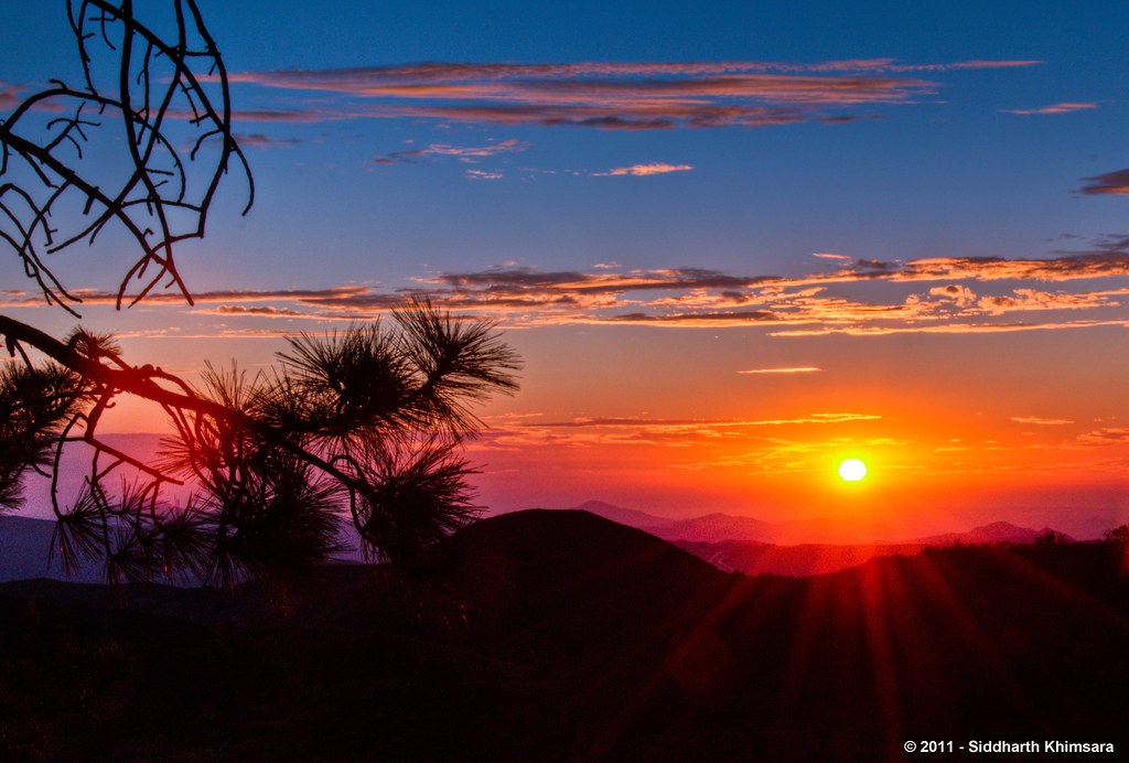
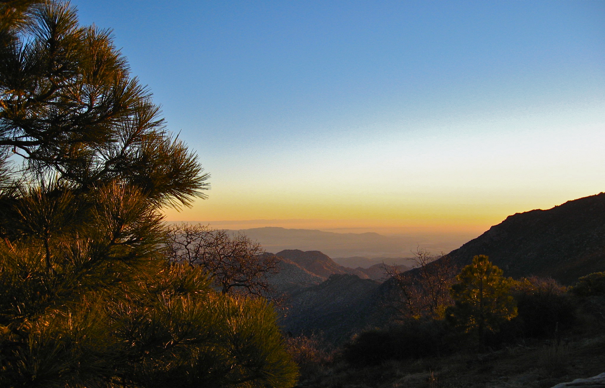
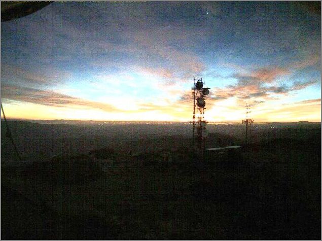
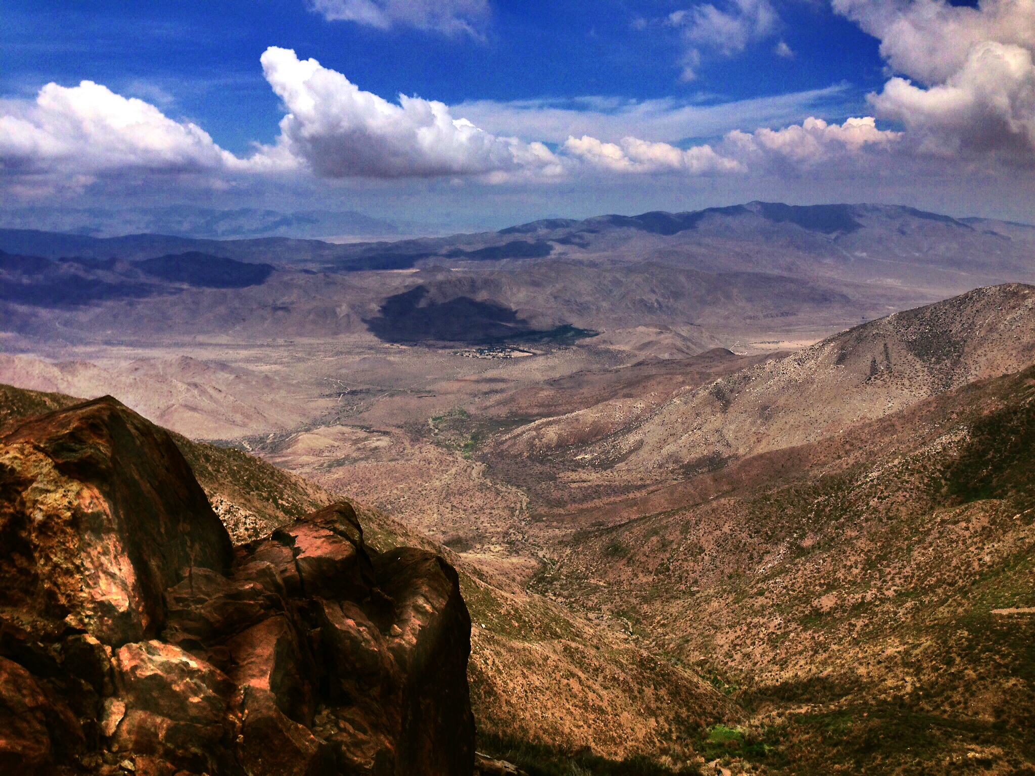
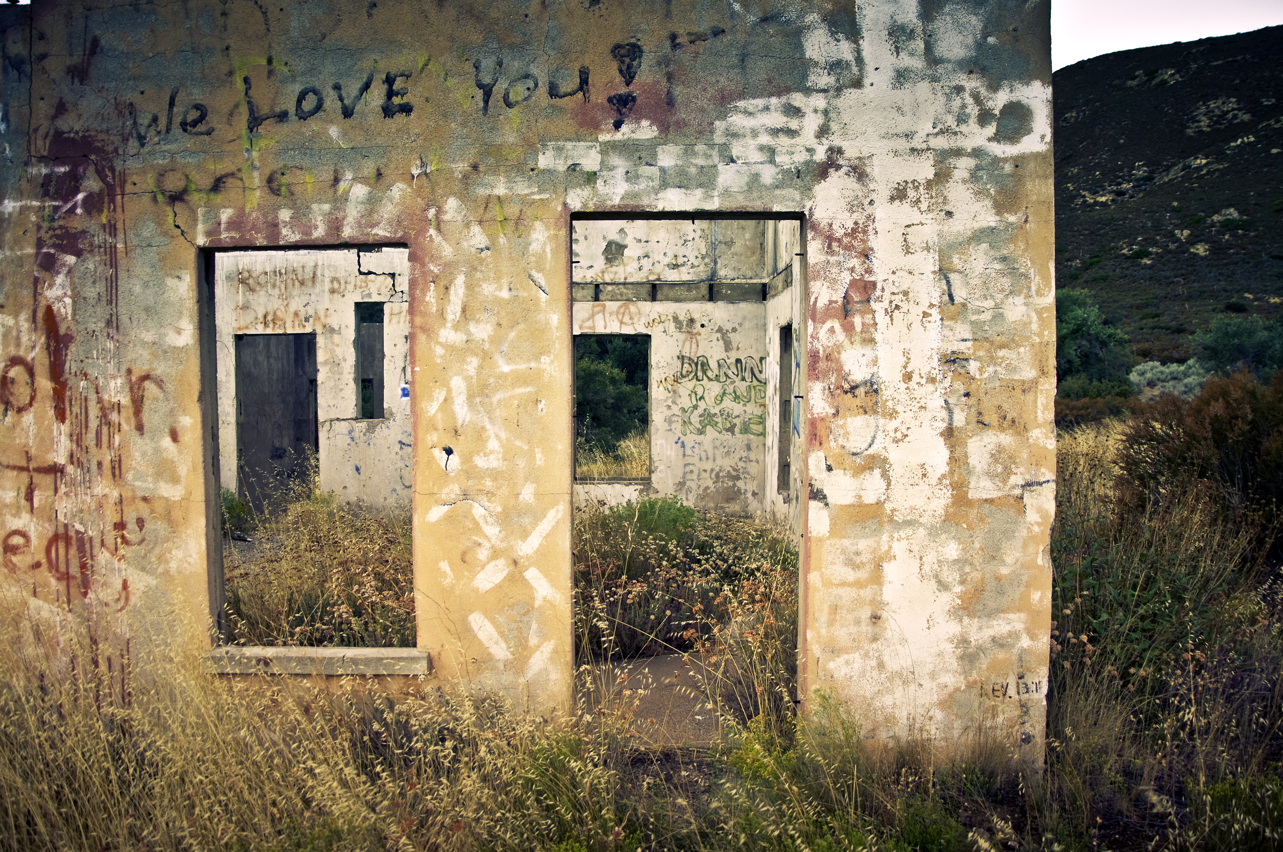
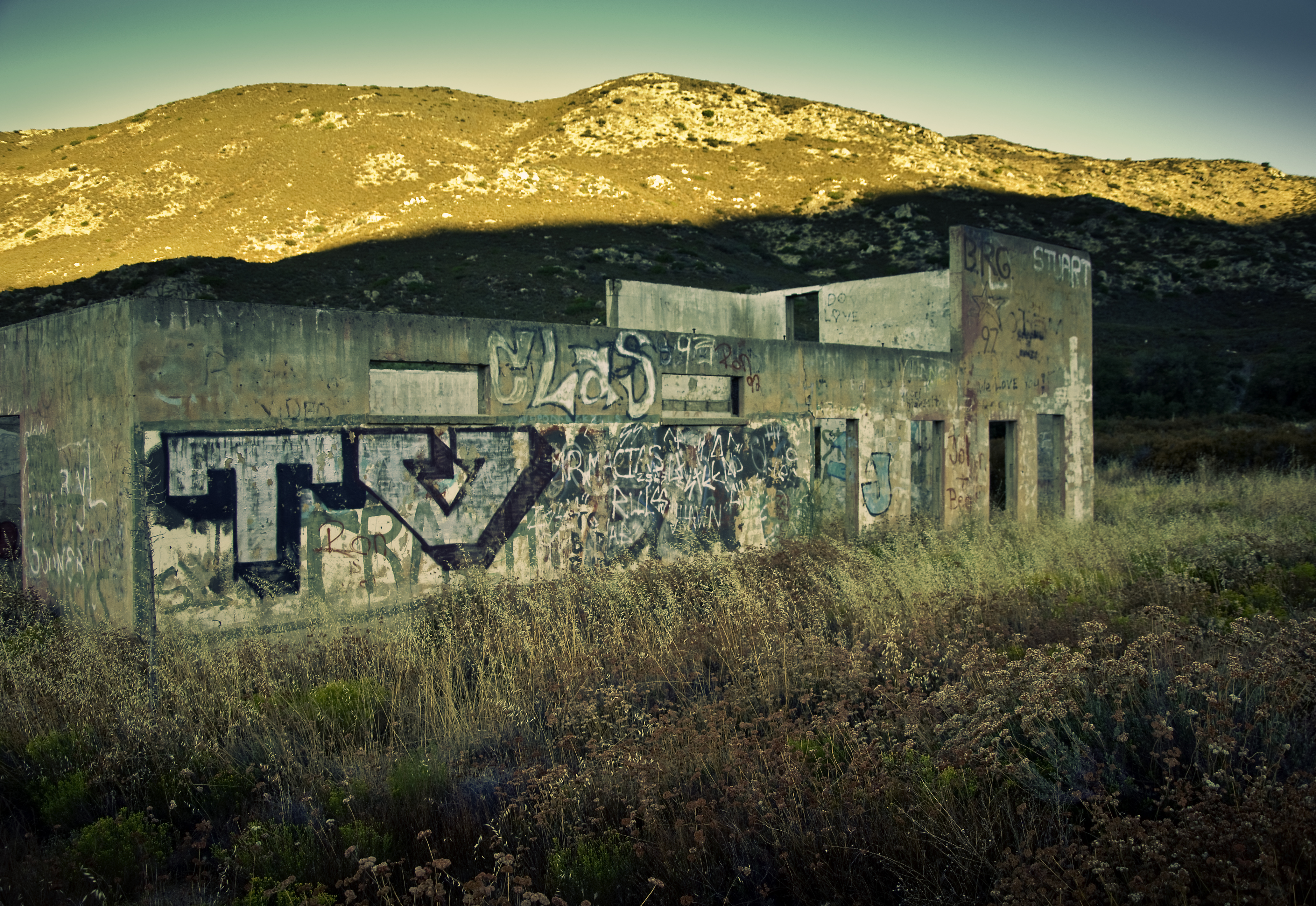
日出日落照片

De Anza Borrego Desert, Ca. ⓒ
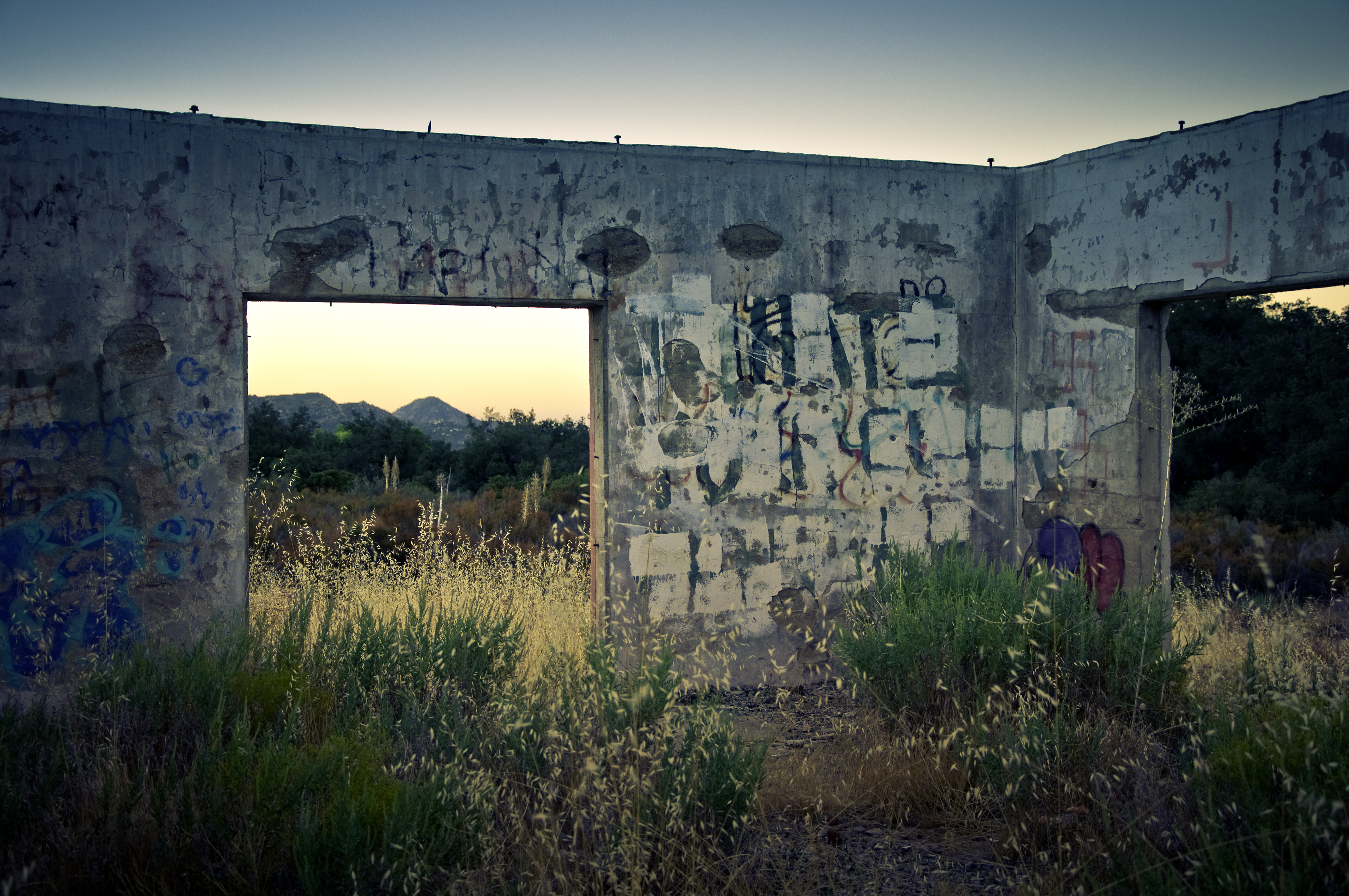
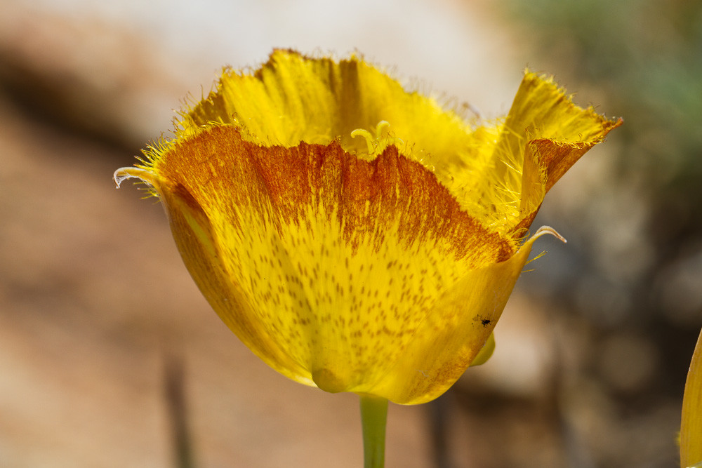
Wild Oats

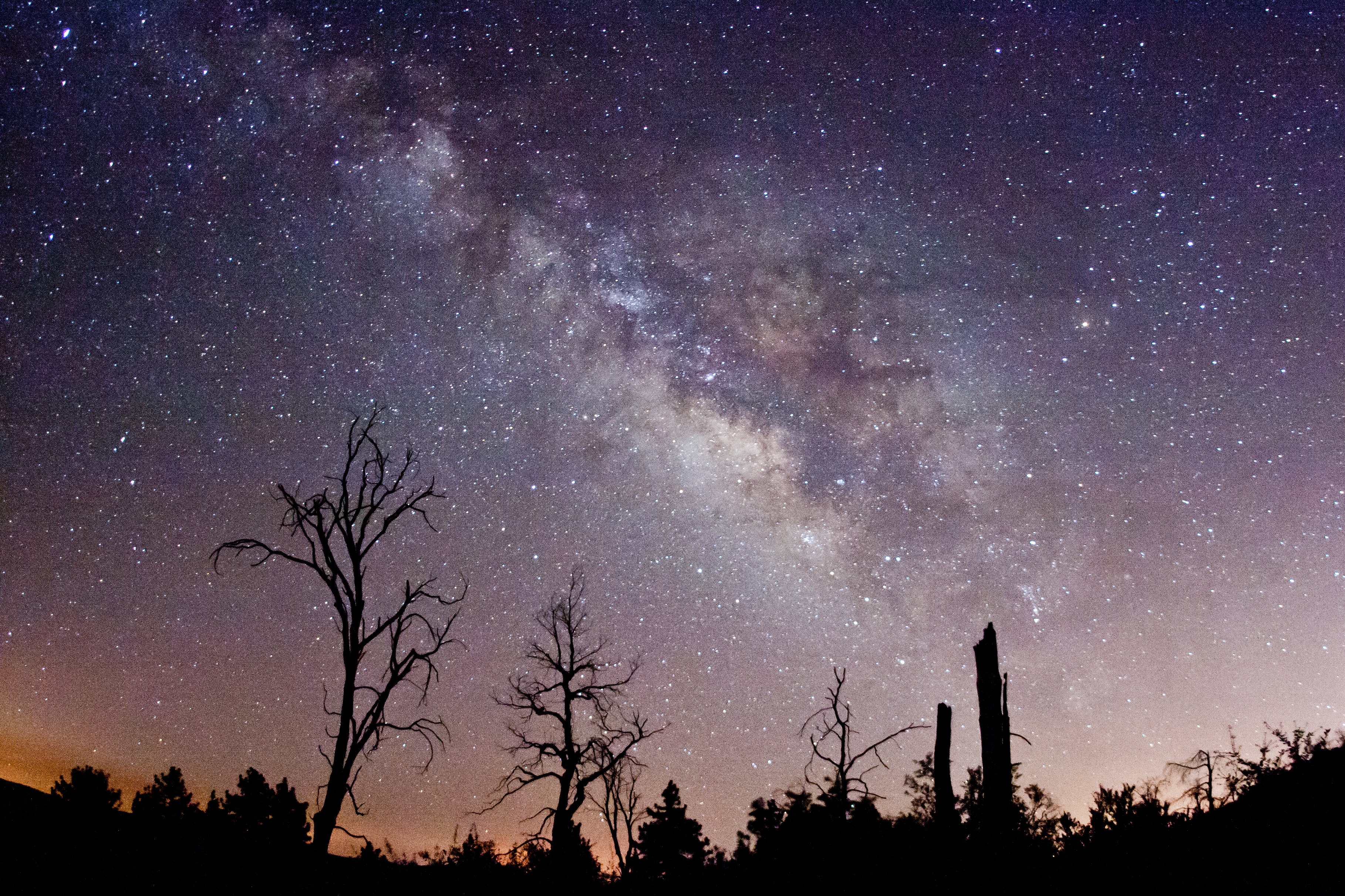
The Milky Way and fire-damaged trees. Paso Picacho Campground at Cuyamaca Rancho State Park

Dark and Deep

Sunset on the Anza-Borrego
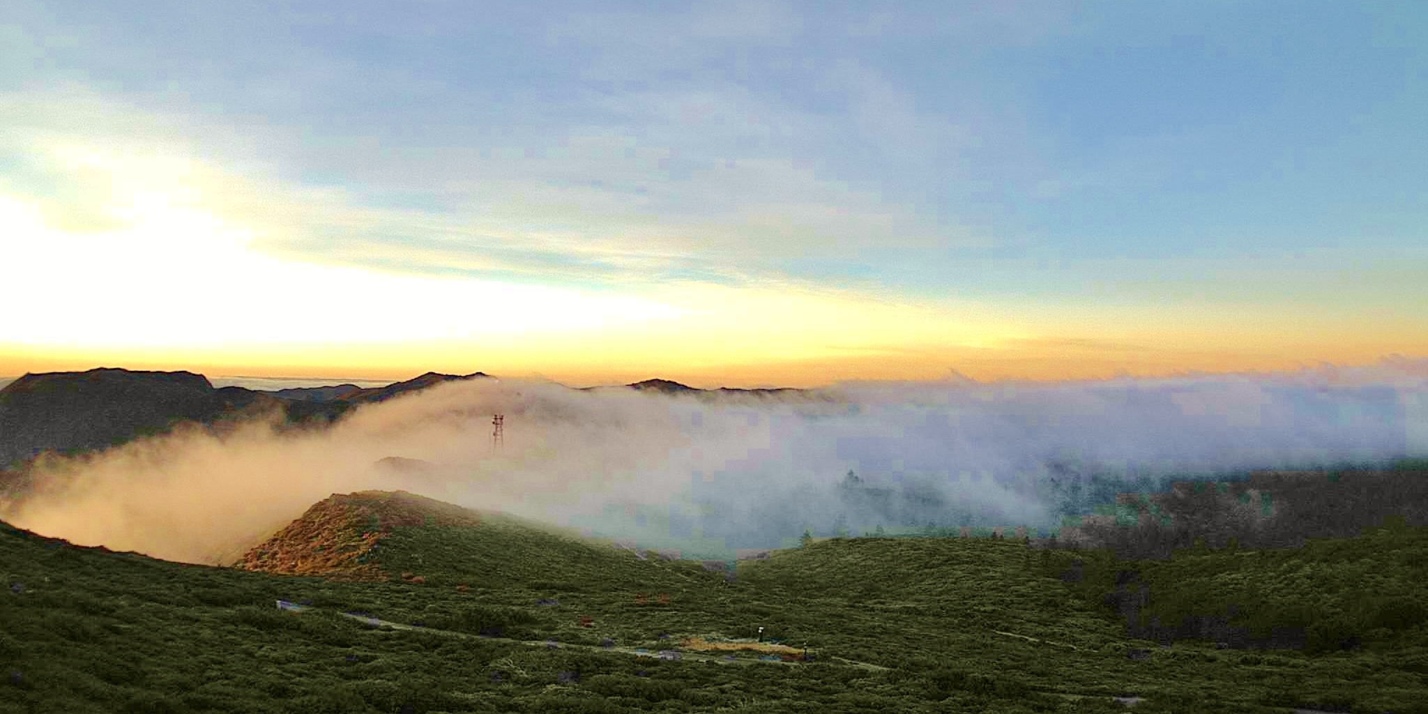
Stars, clouds, and light pollution. Looking east from atop Mount Laguna.

Optimized-02130.jpg

Milky Way and silhouettes of burnt trees in Cuyamaca Rancho State Park
Milky Way Panorama at Cuyamaca Rancho State Park. Different processing.
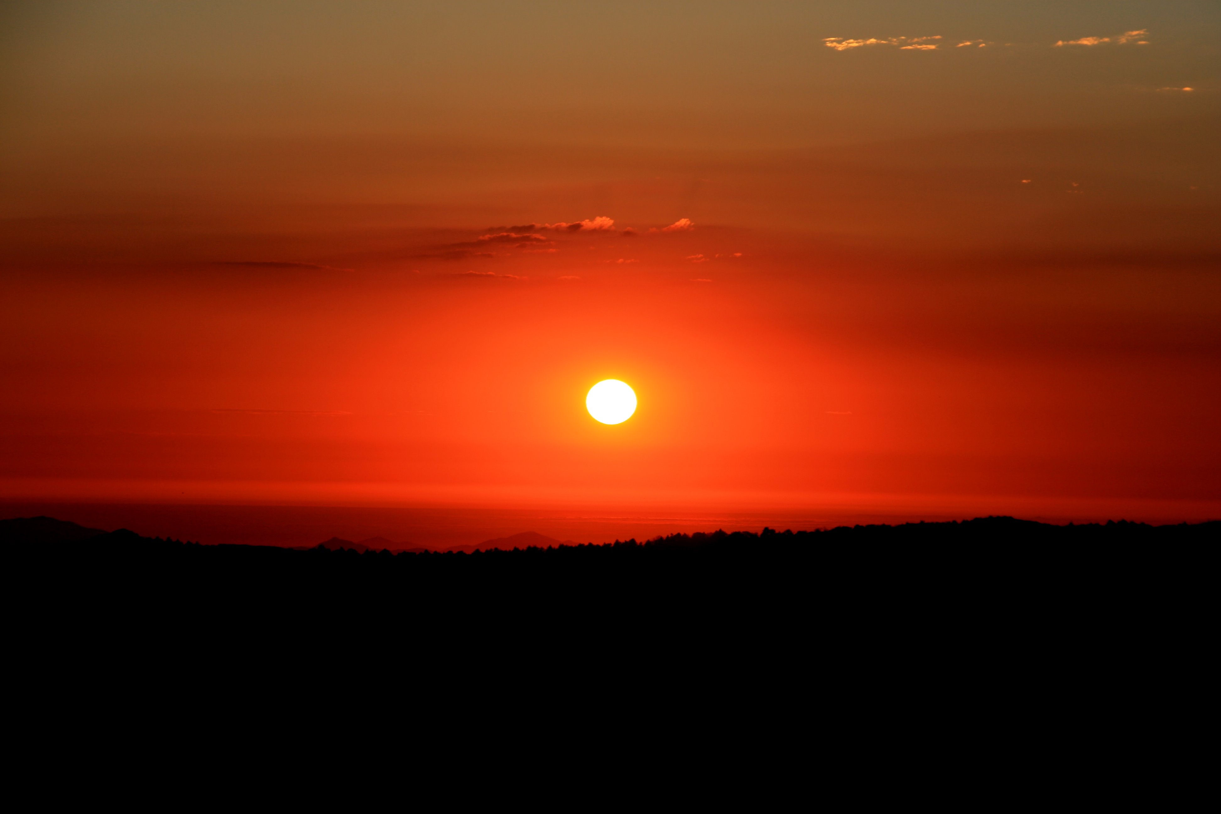
Mysterious Sunset
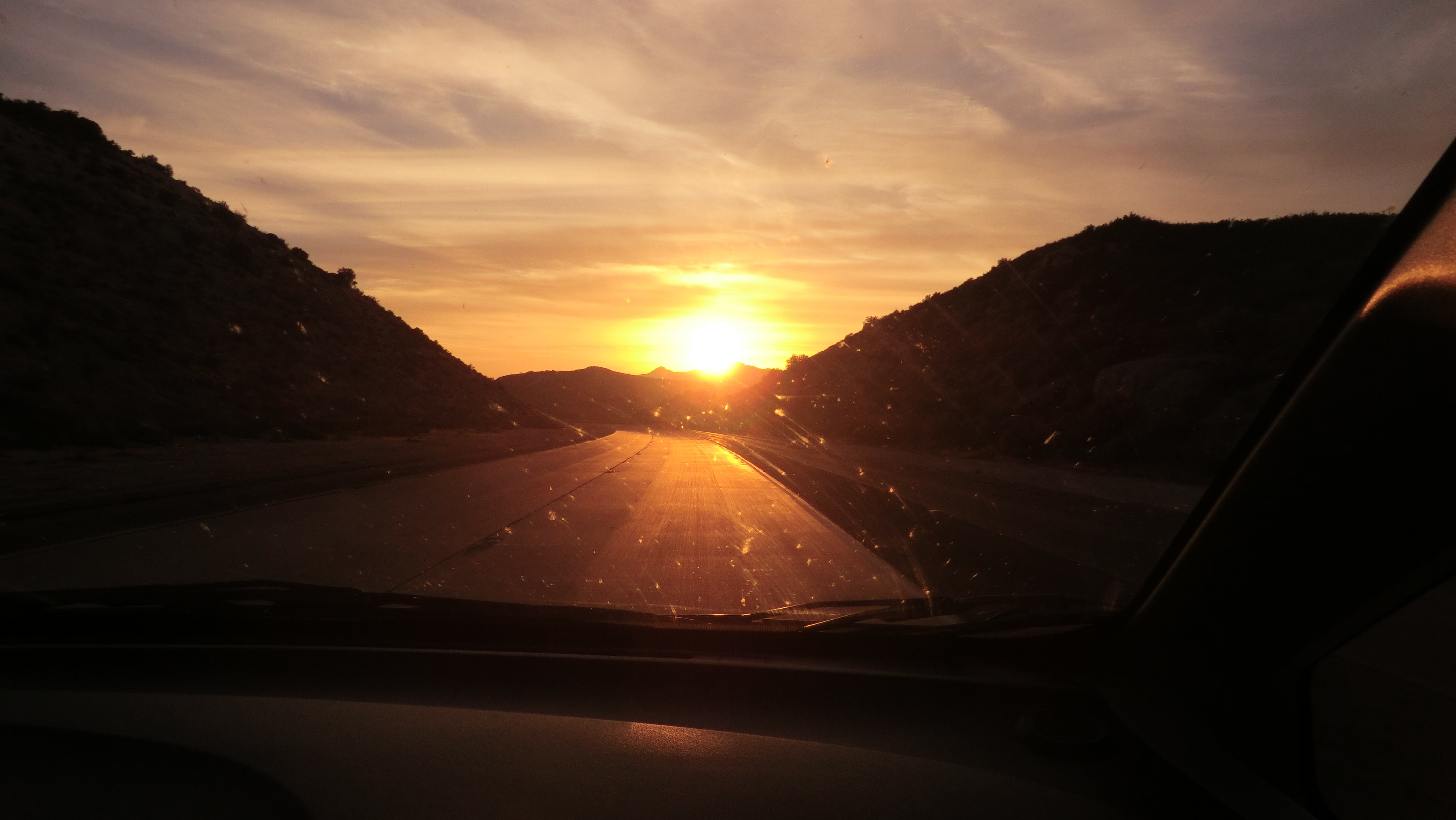
Sun down on the interstate

Lake Morena
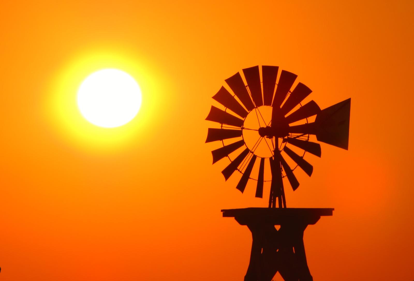
Sunset Windmill
First sunset.

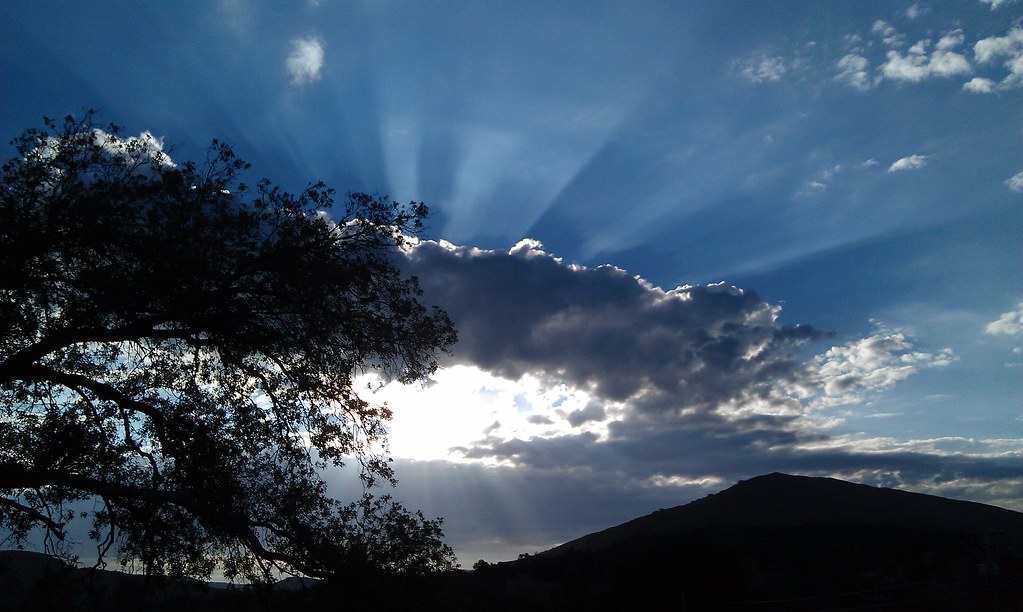
Mother ship cloud at sunset
Before sunset
Via Lactea. Milky Way behind burnt trees. Cuyamaca Rancho State Park.
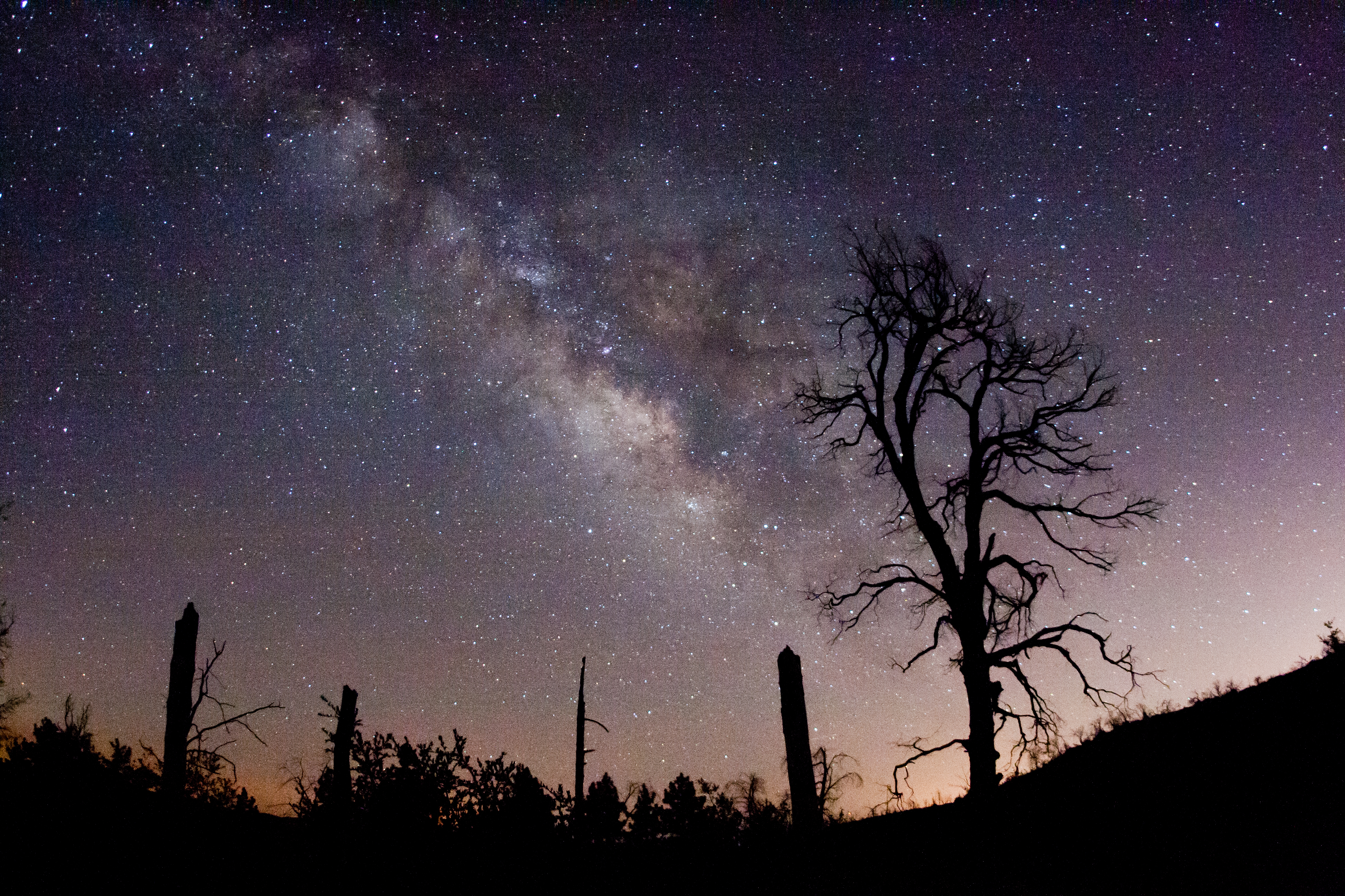
The Milky Way and fire-damaged trees. Paso Picacho Campground at Cuyamaca Rancho State Park
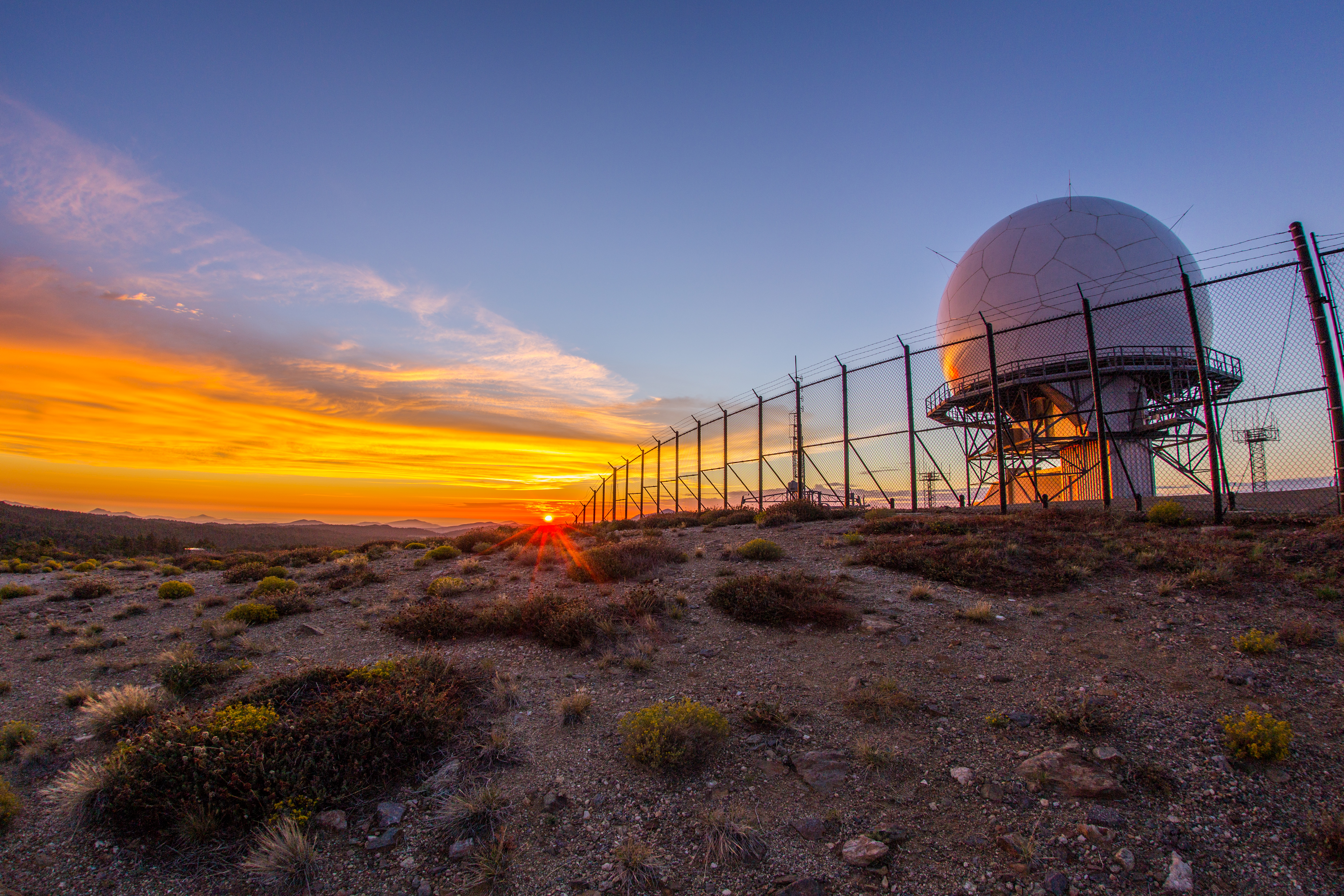
Colorful sunset at the Mount Laguna radar dome.
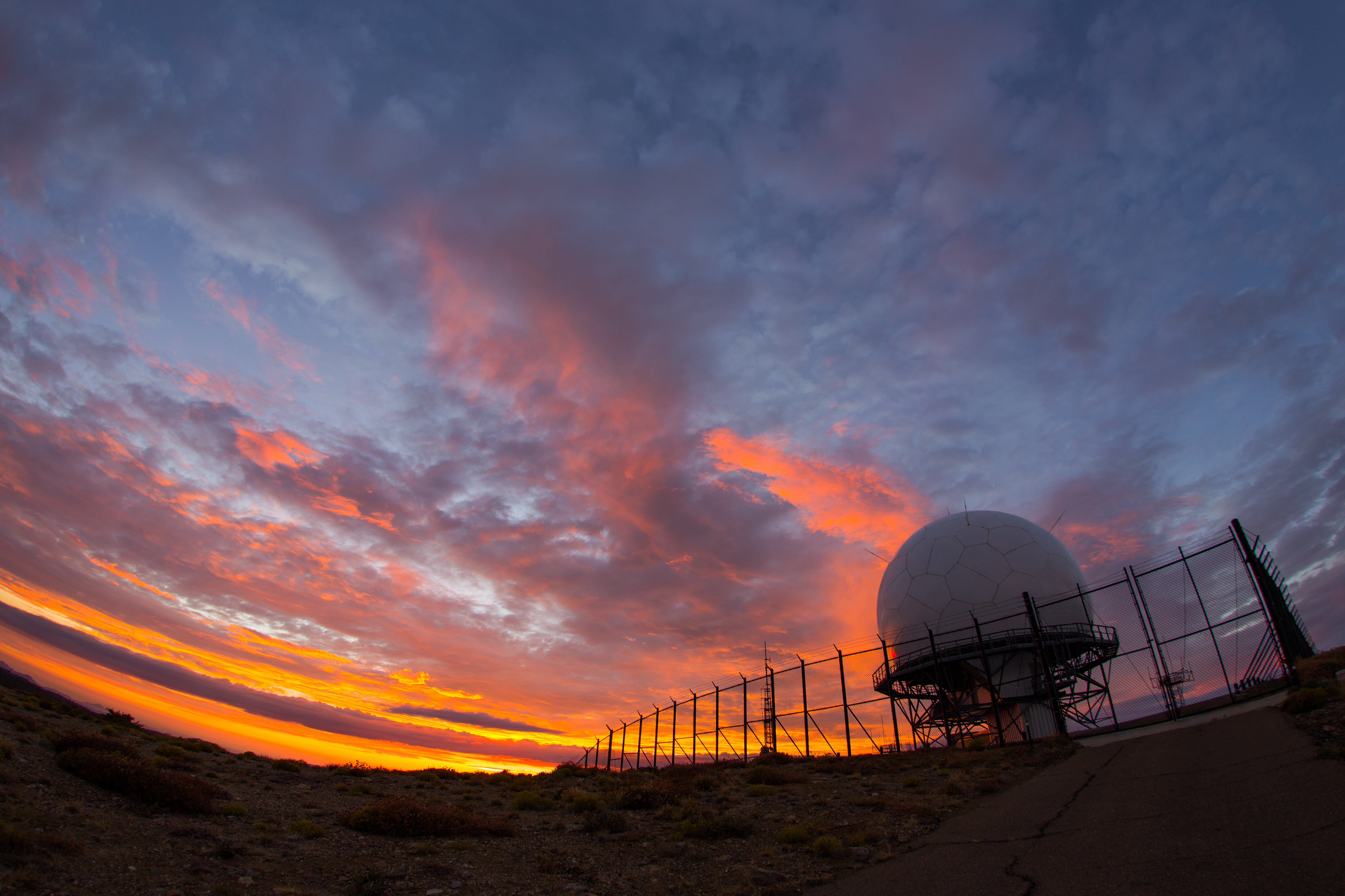
Colorful sunset at the radar dome atop Mount Laguna
A Stunning Sunset from Sunrise Highway @ Mt.Laguna, Julian, CA
1/100 First day sunrise...
Mt Laguna Sunrise - hpwren - East 10-4-12
#mtlaguna #sunrisehwy #PacificCrestTrail #california #iphone
Air Conditioned
TV Gospel - Sunkissed!
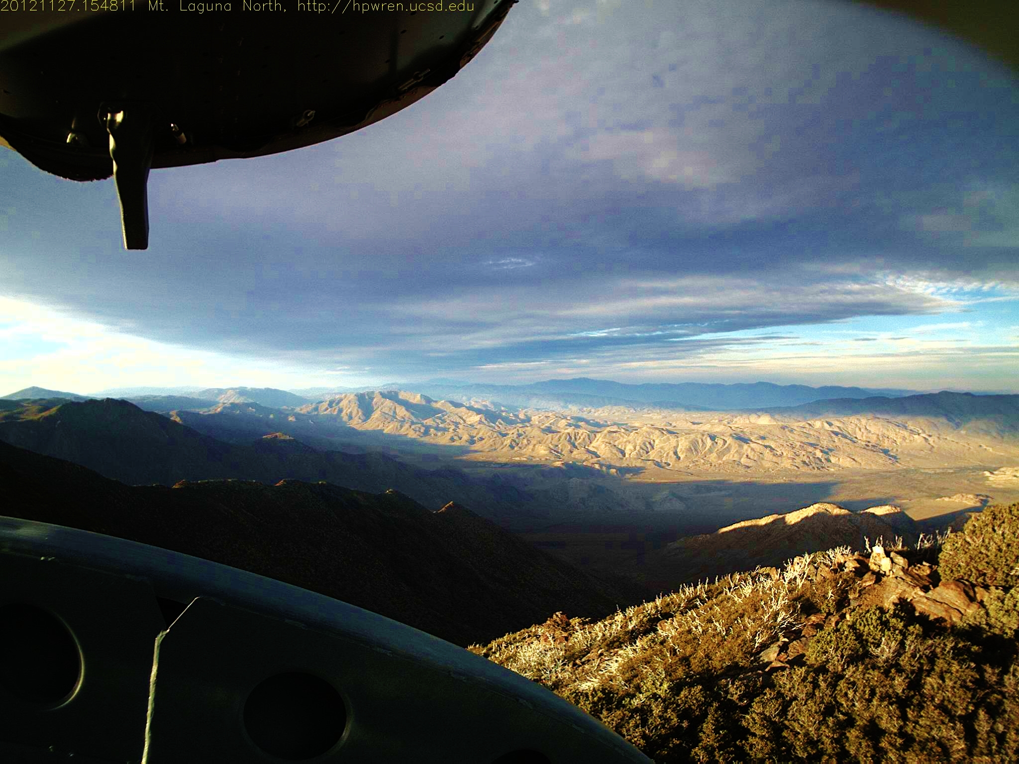
Mt Laguna North view 1354060091.jpg 27-Nov-2012 1548
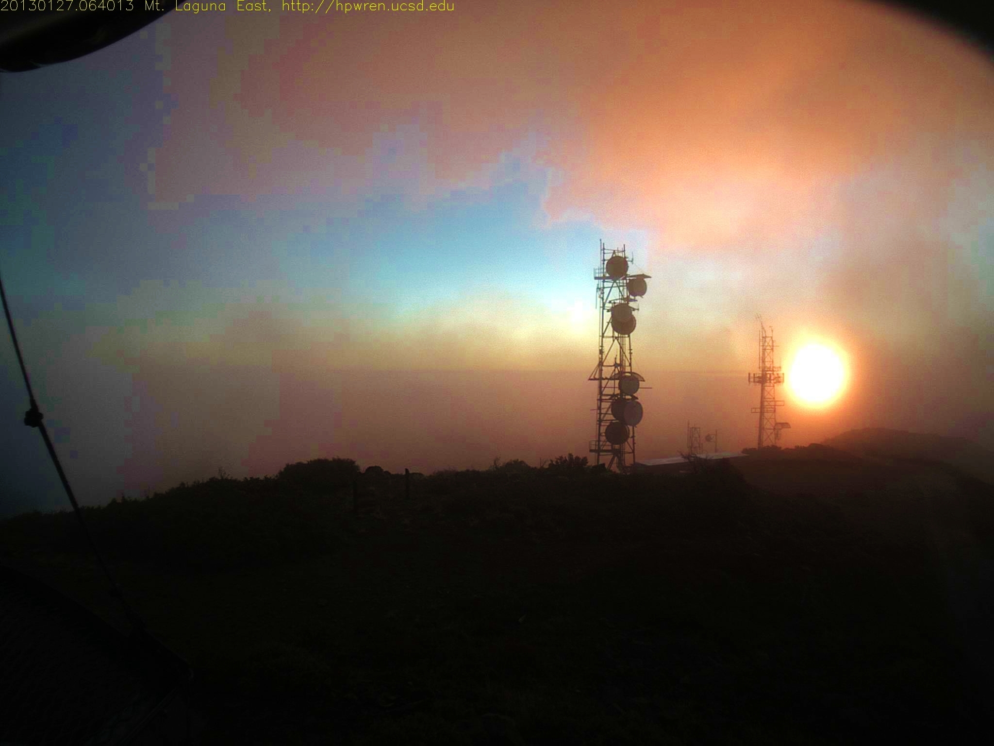
Sunrise after thunderstorm
Mt Laguna South view on the first day of April 2013 - at sunrise 0640AM
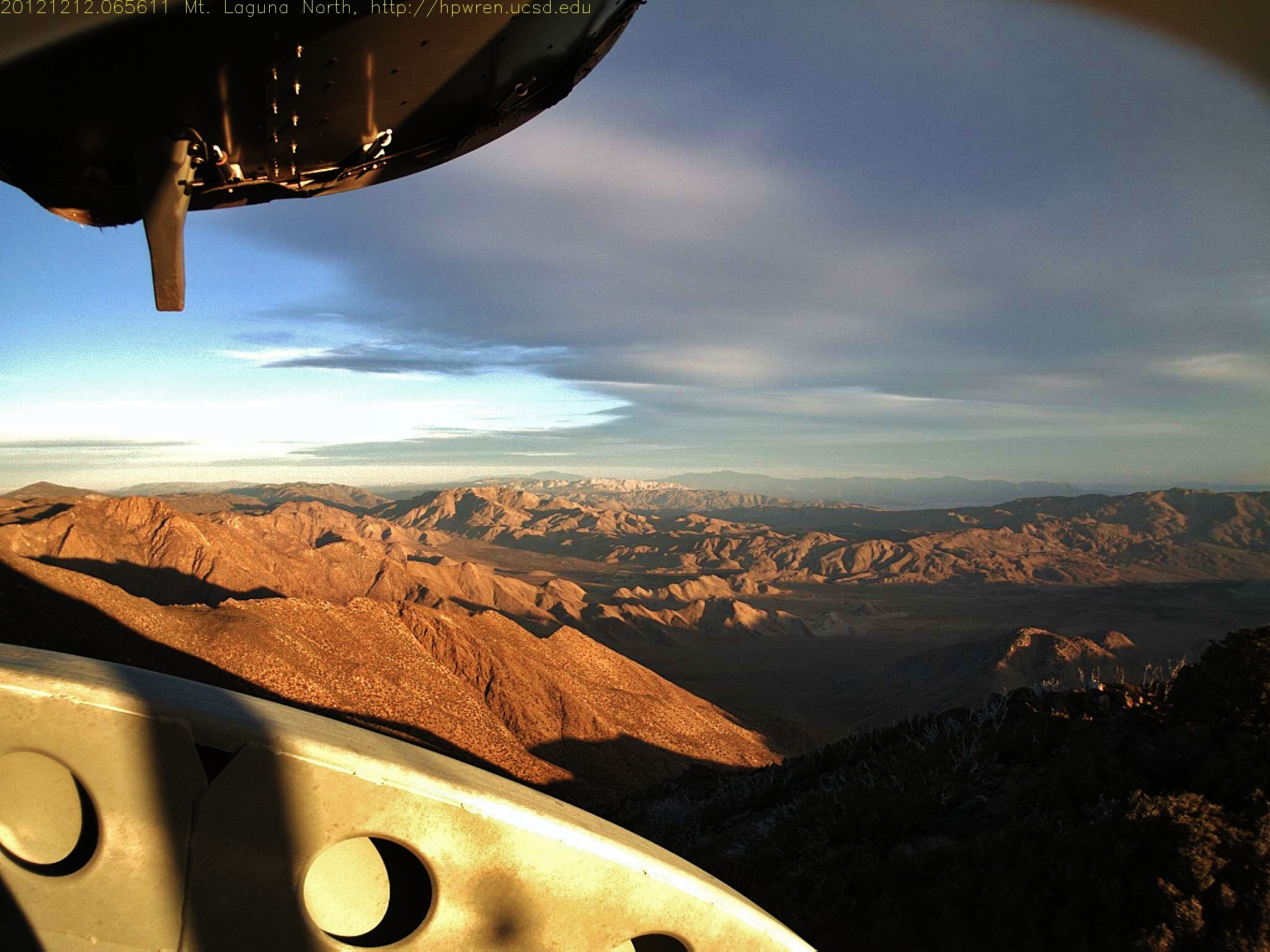
Mt Laguna view: Desert sunrise 12~12~2012
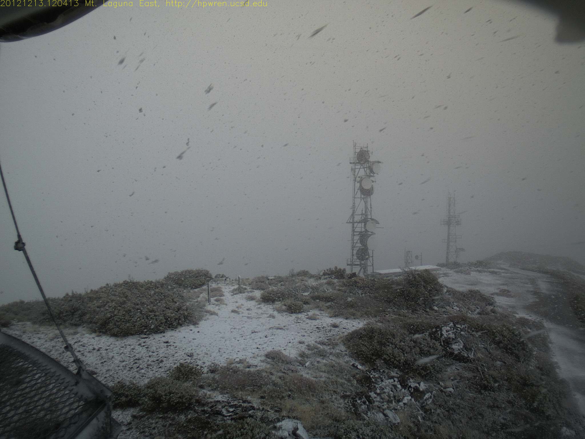
Mt Laguna east view during a snowfall
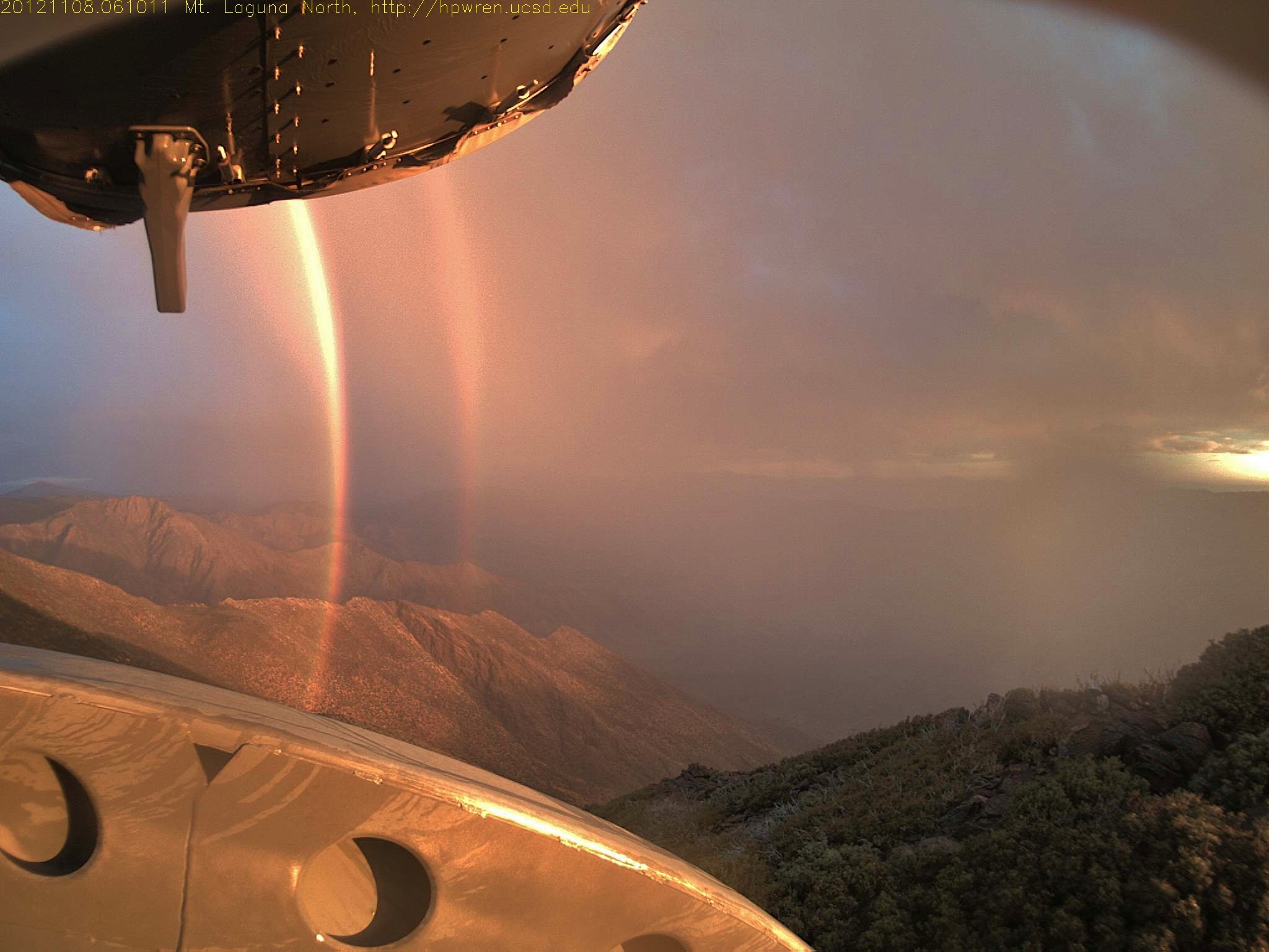
Daybreak rainbows and rain squall 08-Nov-2012 06:10 AM PST
Morning Light

Light in the Window
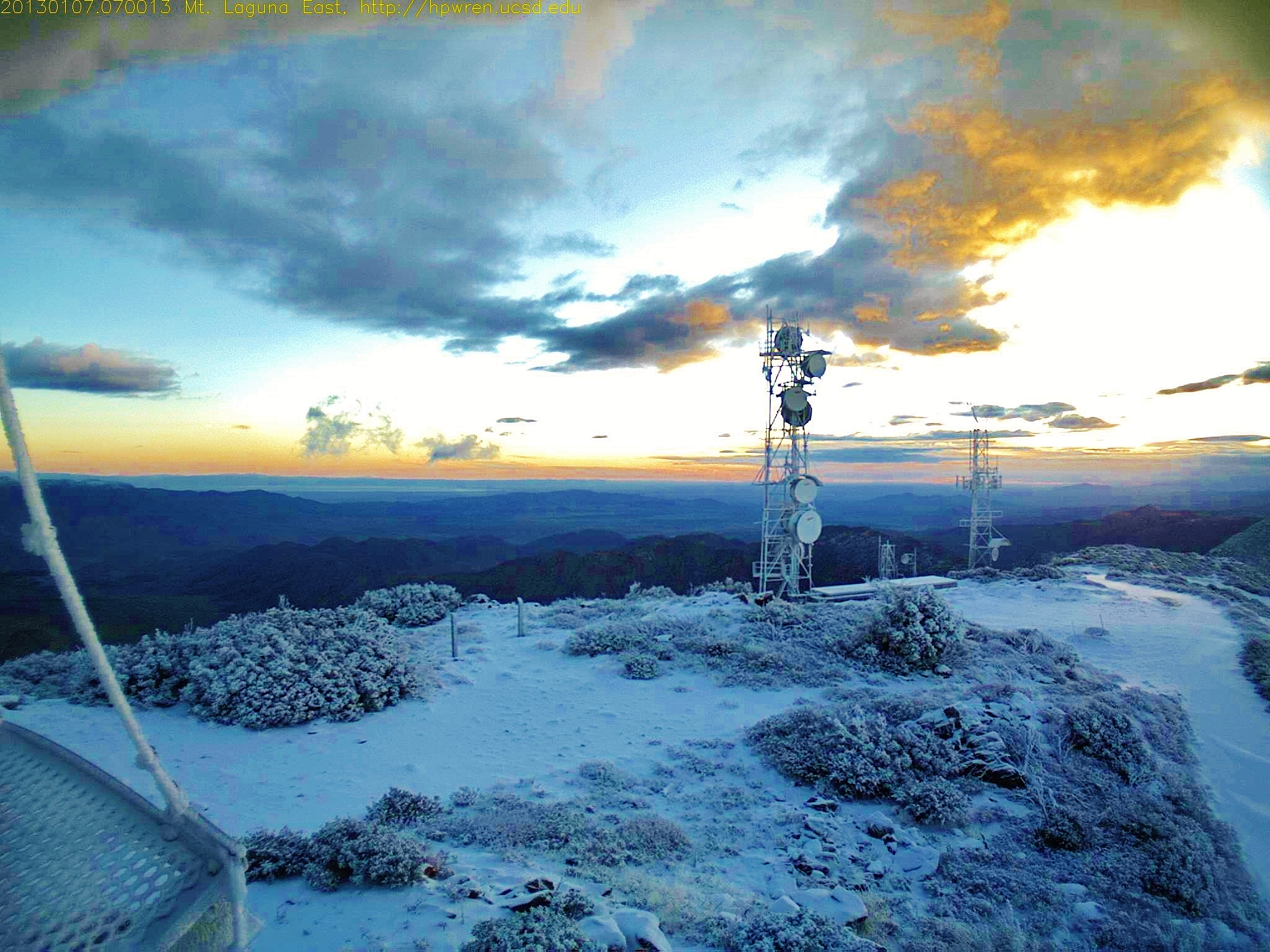
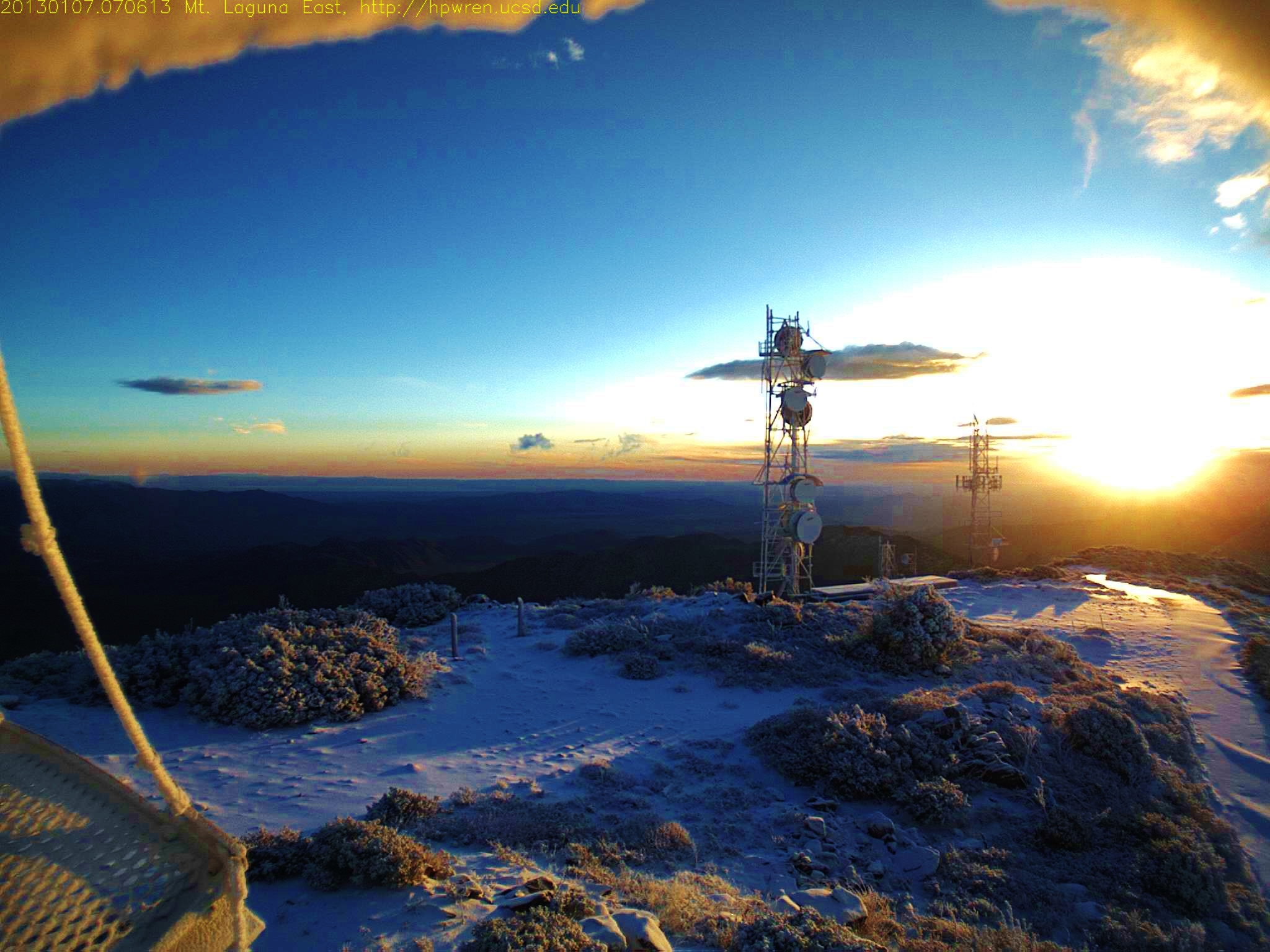
Mt Laguna east view at sunrise after overnight snow 1357570813.jpg 07-Jan-2013 0700 AM PST
Mt Laguna east view at sunrise
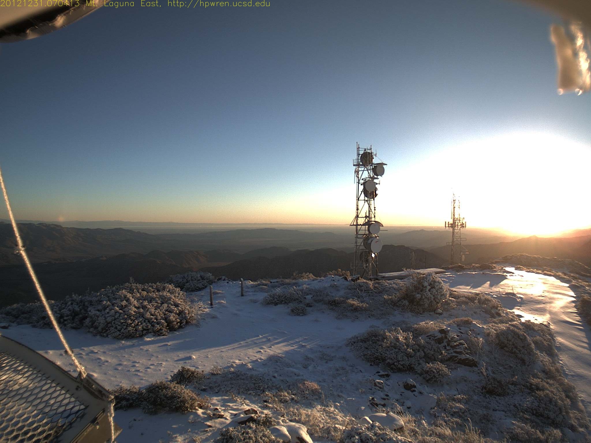
Last sunrise of 2012 (7:04 AM)
Mt Laguna east view at sunrise after overnight snow 1357571173.jpg 07-Jan-2013 0706 AM PST

Los Pinos Peak East view of 'Thunderheads' at sunrise
IMG_0049.jpg
Pine Valley, CA 美國的地圖
搜索其他地方的日出日落時間
Pine Valley, CA 美國的其他地方
附近地點
Lebanon Rd, Pine Valley, CA 美國
Lilac Ln, Pine Valley, CA 美國
Lone Pine Trail, Pine Valley, CA 美國
Guatay, CA, 美國
美國加利福尼亞聖地亞哥Buckman Springs Rest Area
CA-79, Descanso, CA 美國
美國加利福尼亚州拉古纳山
Descanso, CA 美國
Green Valley Falls, California, 美國
Boulder Oaks, CA 美國
Pine Valley, CA 美國Laguna Campground
Sunrise Hwy, California, 美國Sunrise Highway
Boulder Creek Rd, Descanso, CA 美國
Mt Laguna, CA 美國Mount Laguna
Kwaaymii Point, Julian, CA 美國
Boulder Creek Rd, Descanso, CA 美國
Monument Peak Rd, California 美國Mount Laguna
Monument Peak, California 美國
Bass Rd, Campo, CA 美國
Paprika Rd, Campo, CA 美國Paprika Road
最近搜索
- Red Dog Mine, AK, USA的日出日落時間表
- Am bhf, Borken, 德國Am Bahnhof的日出日落時間表
- 4th St E, Sonoma, CA 美國的日出日落時間表
- Oakland Ave, Williamsport, PA 美國的日出日落時間表
- Via Roma, Pieranica CR, 義大利的日出日落時間表
- 克羅埃西亞杜布羅夫尼克 GradClock Tower of Dubrovnik的日出日落時間表
- 阿根廷丘布特省特雷利烏的日出日落時間表
- Hartfords Bluff Cir, Mt Pleasant, SC 美國的日出日落時間表
- 日本熊本縣熊本市北區的日出日落時間表
- 中國福州市平潭縣平潭島的日出日落時間表